Posts Tagged With: Great Smoky Mountains

2018 Trip 3: April 12-13: KY and TN

Gatlinburg, TN April 13

Hiking in the Great Smoky Mountains

I know we have stated it before but I am going to repeat it anyway. I am glad we retired early. Hiking up and down hills is still fun but it gets harder and harder on the body; the knees are creakier, the muscles are more sore. When we started walking and hiking in 2013, it was easier. Flat ground hiking on paved trails is still simple; up and down steep grades with roots and rocks just waiting to trip you up gets more challenging every year.

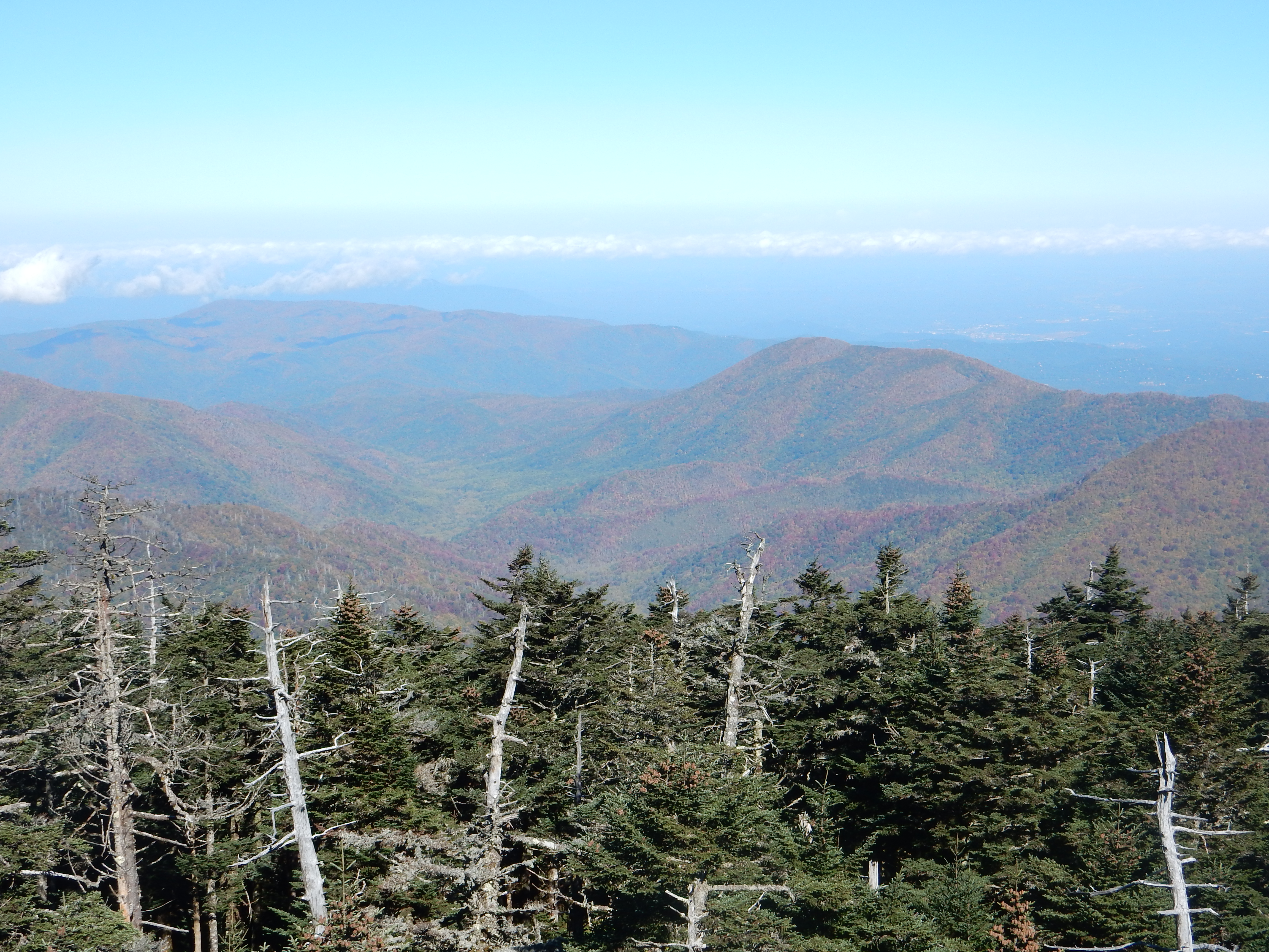
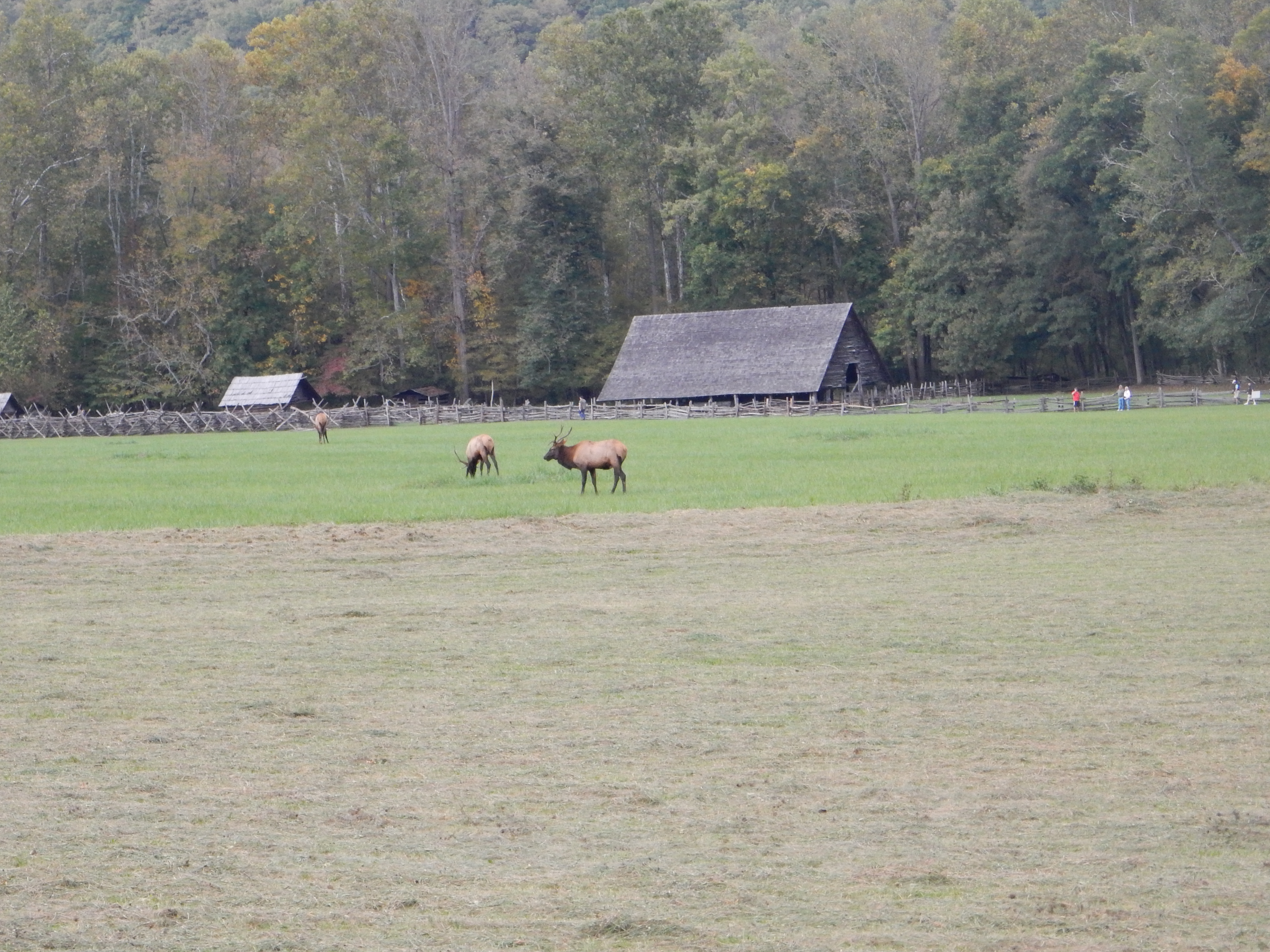
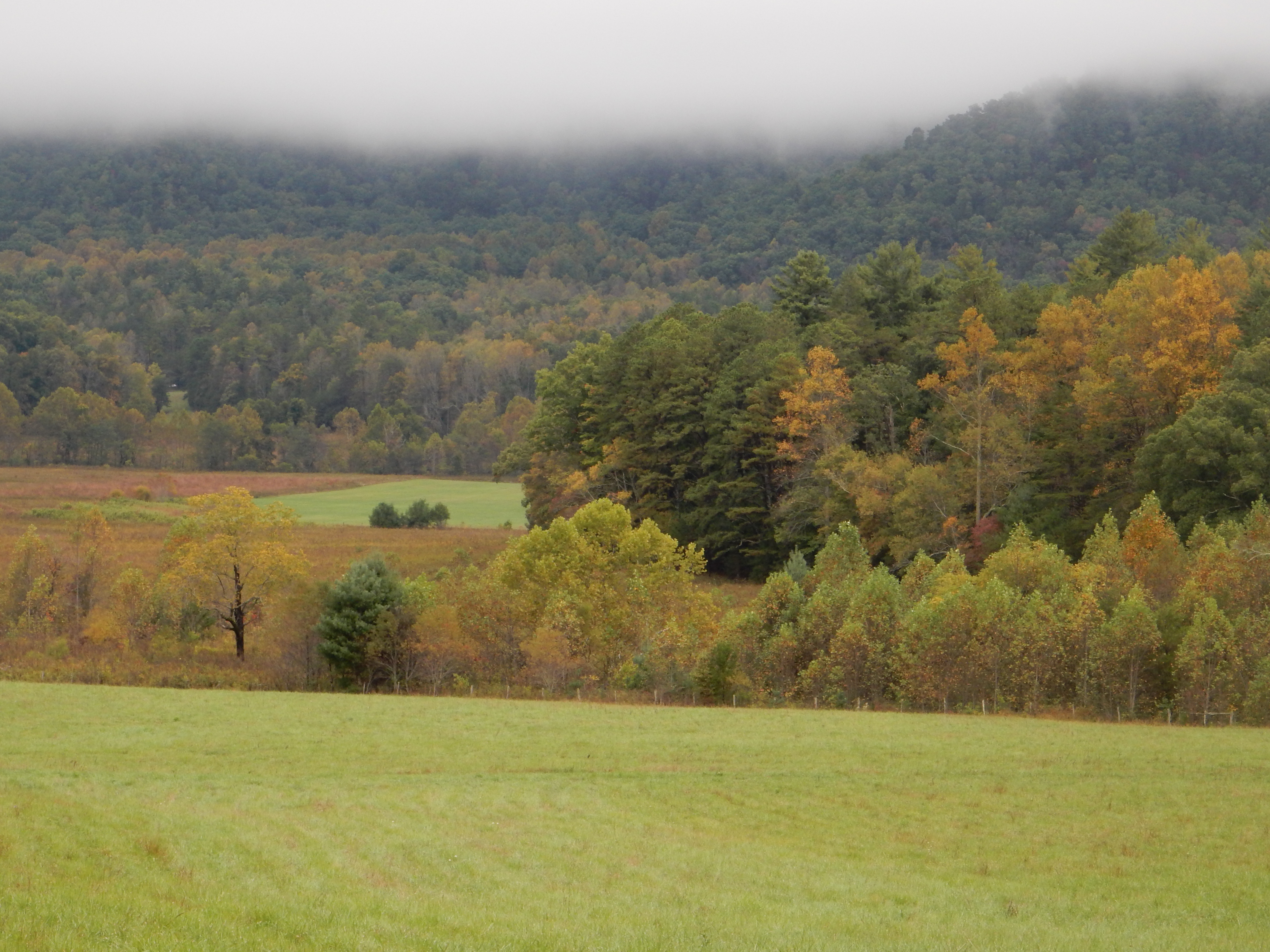
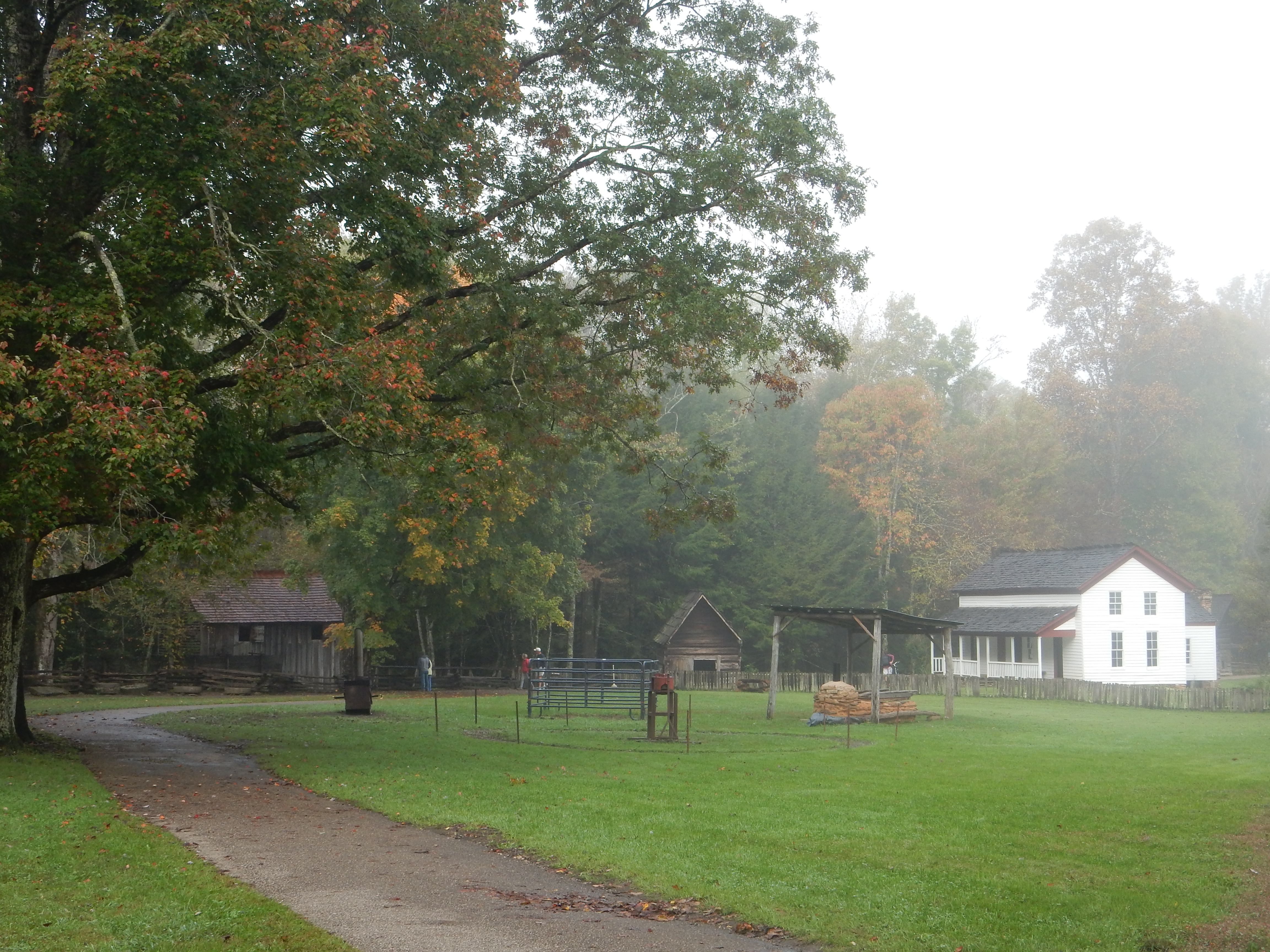
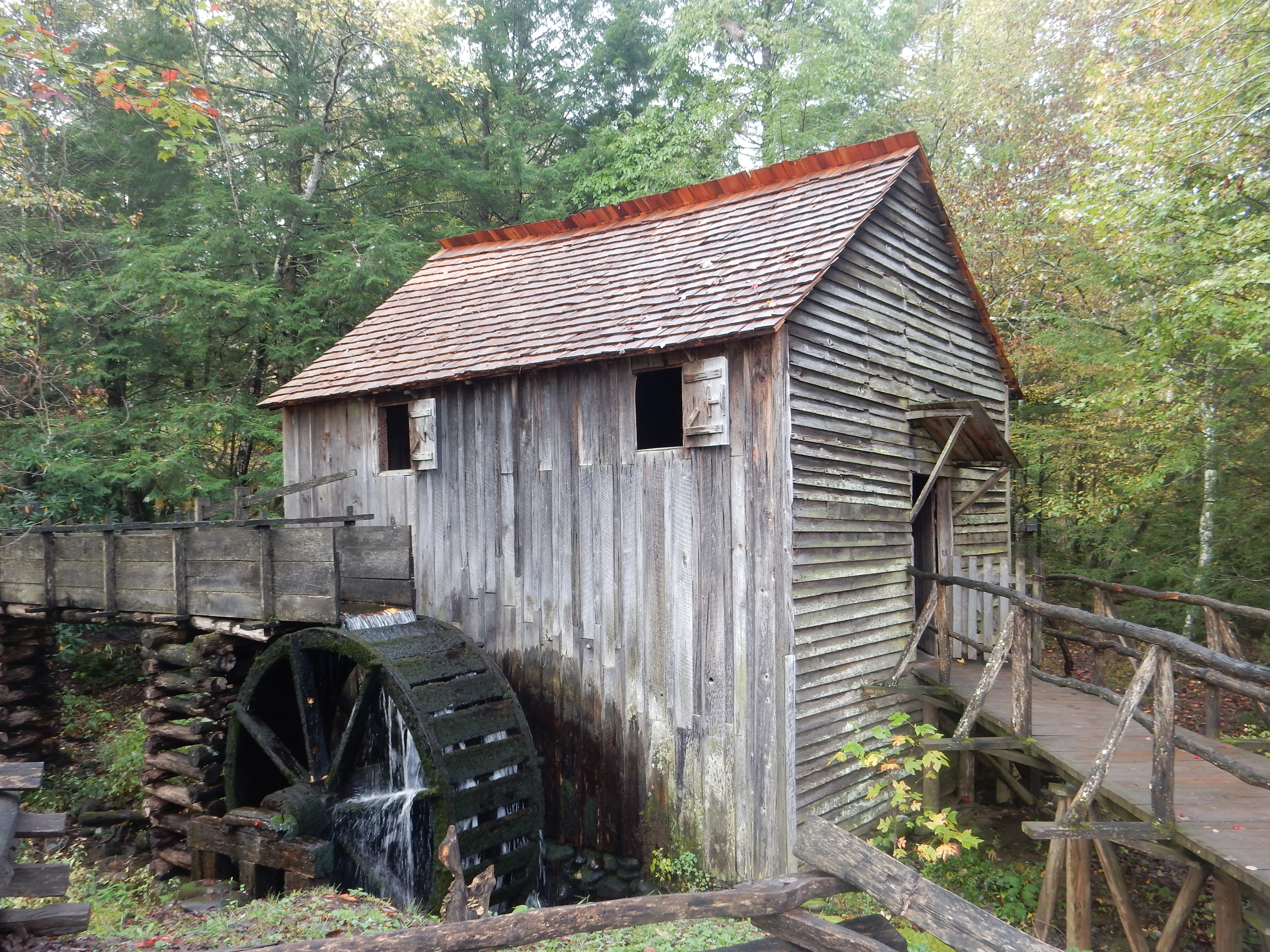
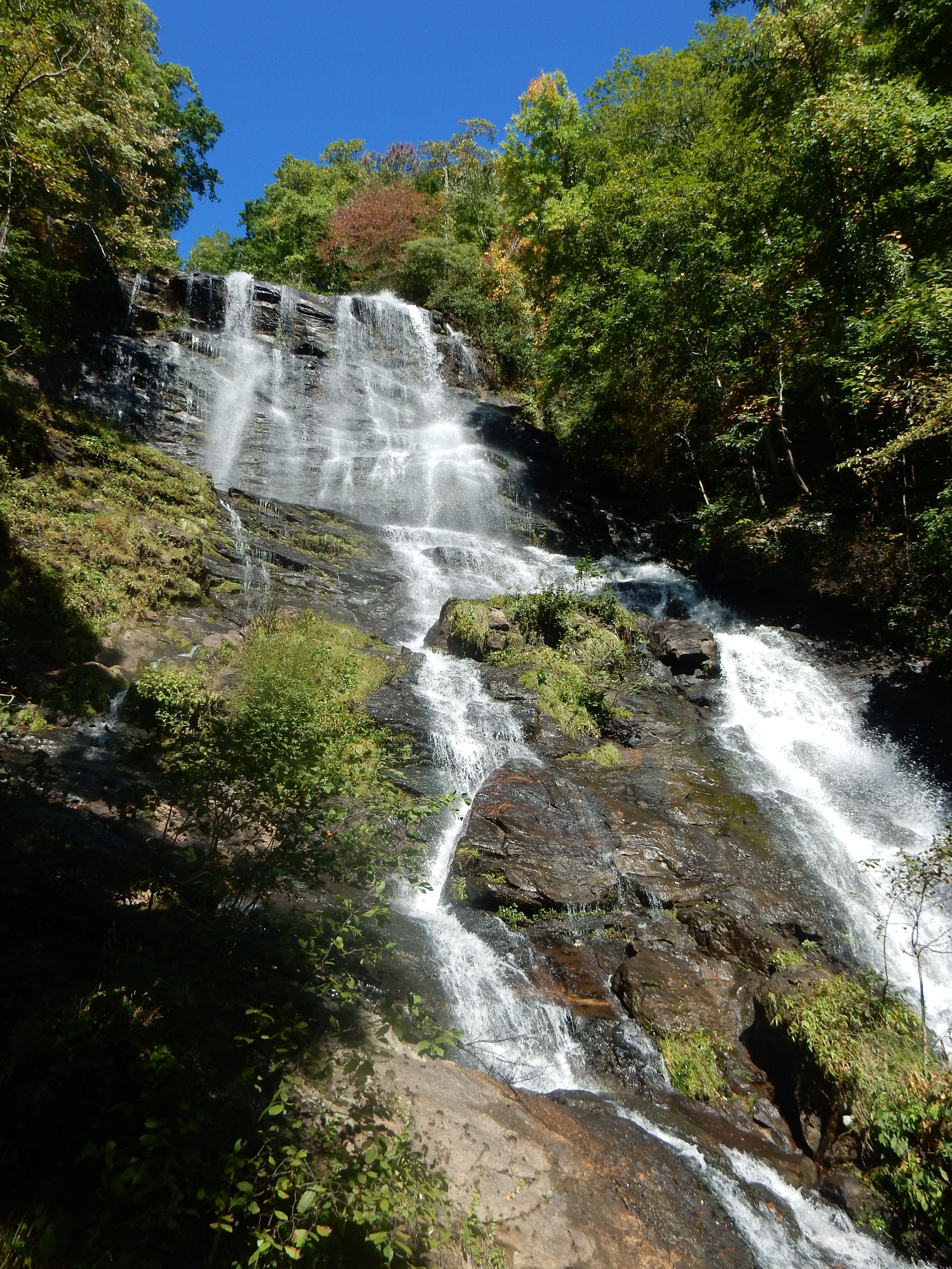
The weather has continued to be in the 70s and sunny; like much of the eastern two-thirds of the country the weekend is forecast to be wet and stormy. We are using the last two days of our time in the Great Smoky Mountains to hike. Thursday we slept in a bit and then headed for Cades Cove, a well-known area of the park showcasing Appalachian life before the park bought out the lands. The thought was to hike to Abrams Falls. Unfortunately, we spent a good part of the day driving. Cades Cove is a an hour and a half drive, plus you add time for the 15 mph Cades Cove Loop Road (and you are lucky if you go 15 mph), for extra slow-moving vehicles, and people stopping to take pictures, etc.

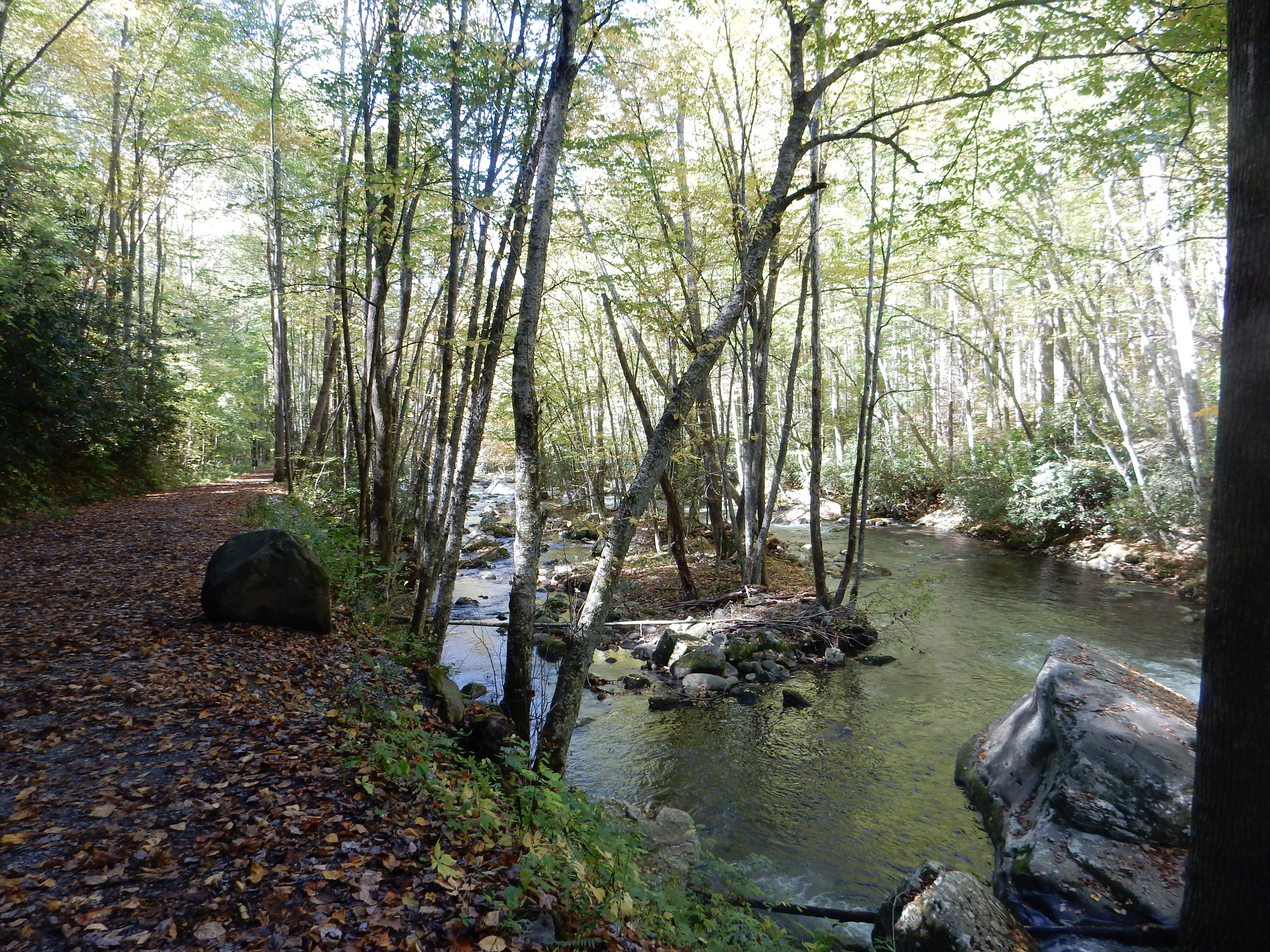
Hiking along Abrams Falls trail

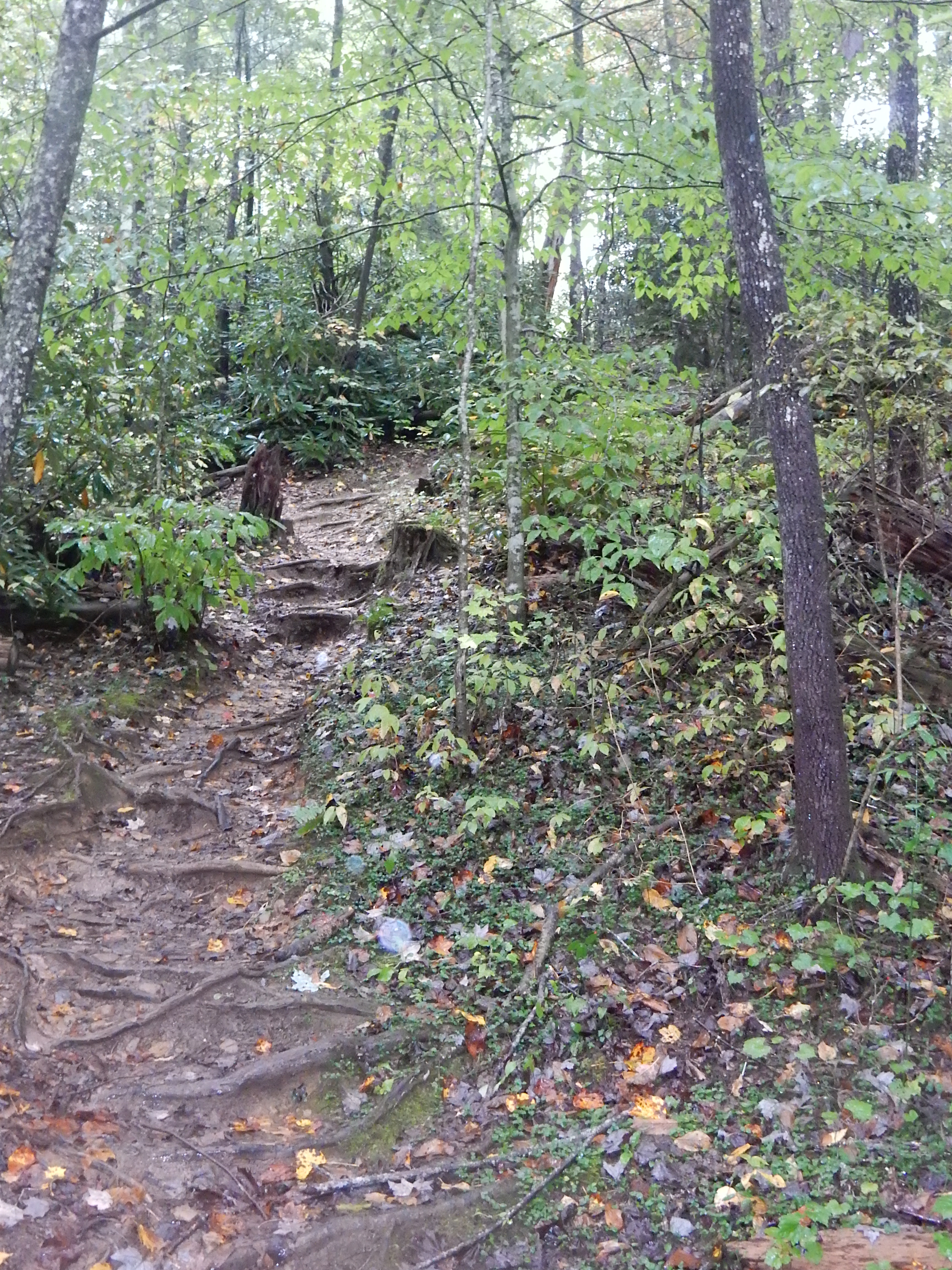
We arrived at the trailhead about 1 PM, a park volunteer said it would be about a four-hour round-trip hike. It isn’t necessary to hike the full distance, we said, and we have viewed plenty of waterfalls, so we headed out anyway. The trail was not too bad, it reminded us of some of the North Shore trails that parallel rapids that head to Lake Superior. Our trail time amounted to about 90 minutes, recognizing we would be taking the same slow route back (there are no reasonable options).

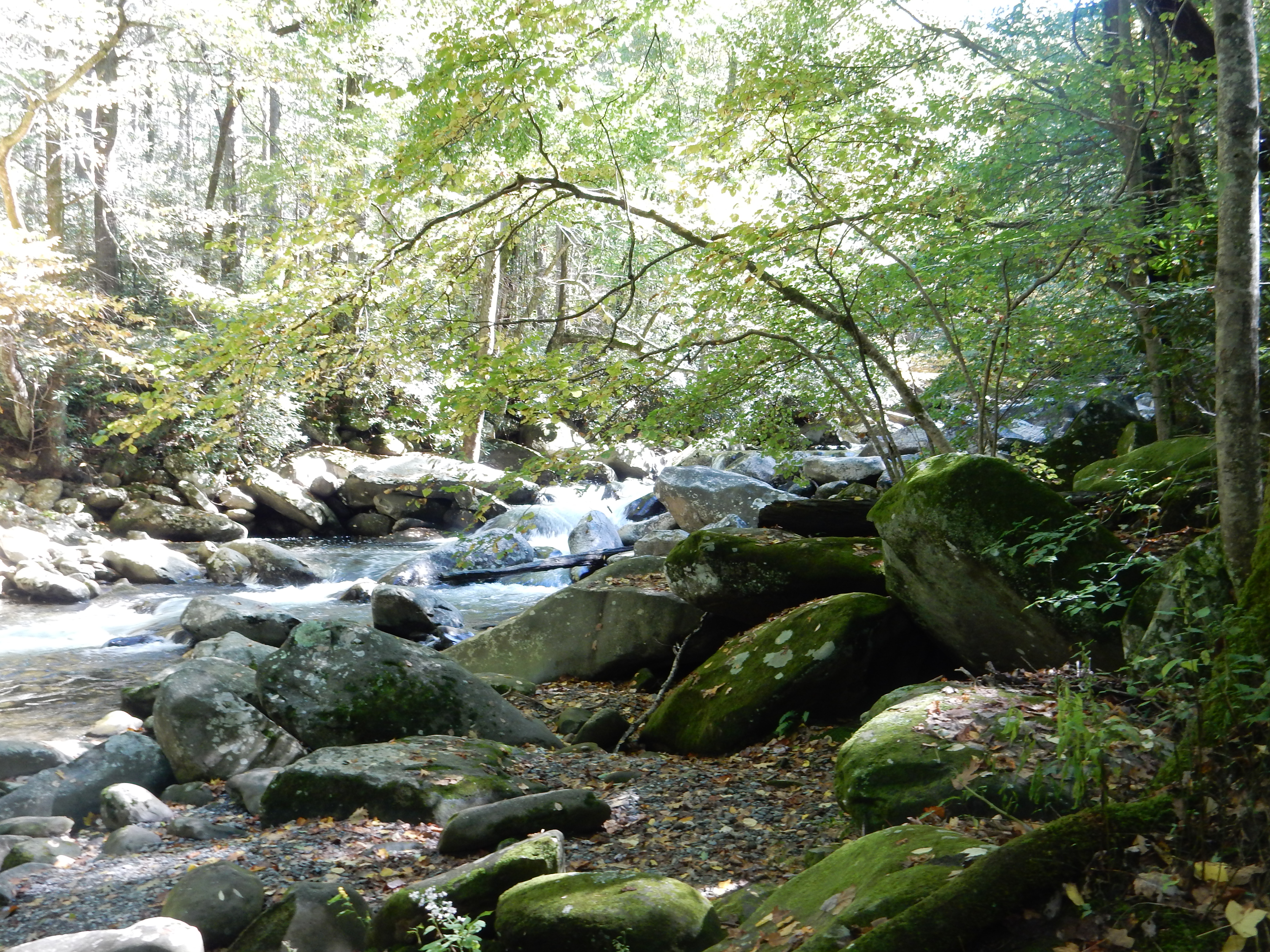
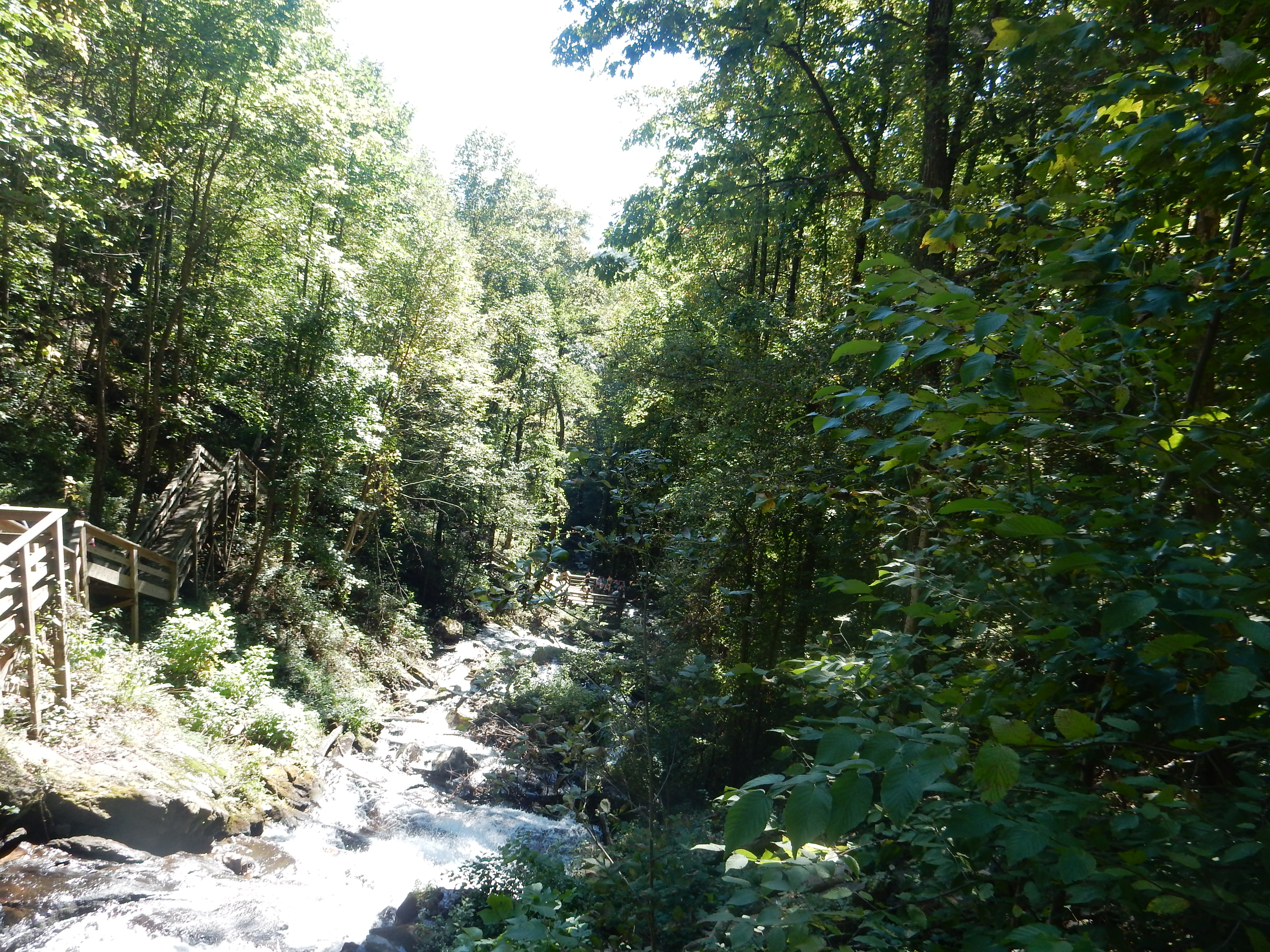
Cataract Falls, Great Smoky Mountains National Park

A quick, short hike to Cataract Falls located by the Sugarlands Visitor Center completed the hiking. Dinner was a salad from the grocery store.

Today, we got up early, planning to hike on three trails along the Roaring Fork Motor Nature Trail. Only one of them, Grotto Falls, did we think we would hike up to the falls- a three-mile round-trip. Of the others, Rainbow Falls would be five miles round trip. The second, Baskin Creek Trail, would be about three miles round trip. All three, however, involved decent elevation gain and trails that are laced with roots and rocks. The hikes are all popular and have small parking lots. An early start is critical. Since Roaring Fork trail is one-way, and slow, it only makes sense to do the trails in order of appearance along the road.

Charred trees along Rainbow Falls Trail, Great Smoky Mountains National Park

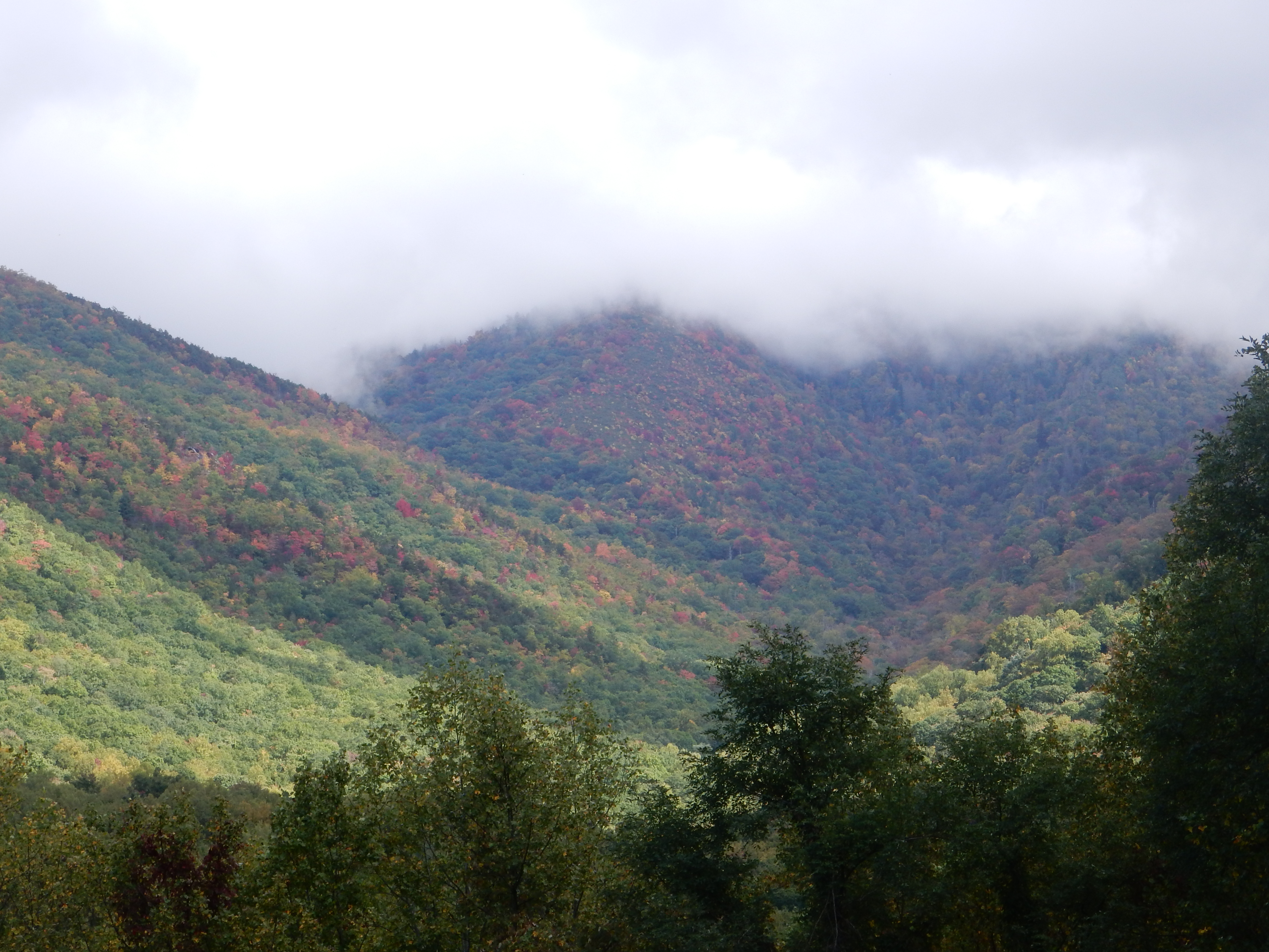
Rainbow Falls comes first. It is the longest and rated the most difficult of the three. All three trails are located in the burn area of the November 2016 fire and burnt tree trunks are common along the route. While the trail is within sight of a creek, it was not as picturesque as the others.

Baskin Creek trail, Great Smoky Mountains National Park

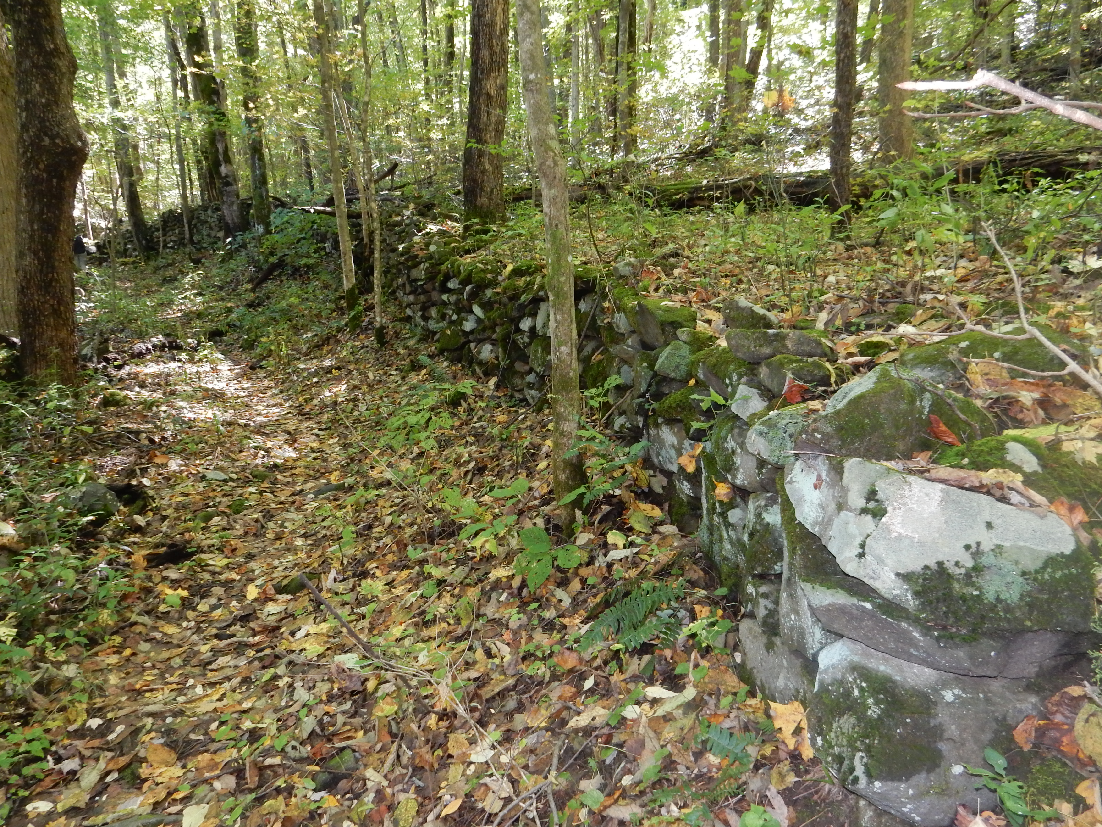
Baskin Creek trail was a bit of a surprise. Regrowth from the burn area was most pronounced here and the rocks appeared to be of a different type than otherwise seen. I am sure my brother-in-law in AZ would know the answer, but I will call it a white quartzite and go with that. We turned back after climbing to the peak of the trail, any further would have been a steep downhill which, since this trail is an out and back, translates into a steep uphill on the return trip.

Grotto Falls Trail, Great Smoky Mountains National Park

Finally we got to Grotto Falls. Since we had already been hiking, the parking lot was full and we had to find a space along the roadway a good distance past the trailhead and hike back. Heck, we thought, we just added on another half of a hike just parking the car. Well, no, the trail to Grotto Falls is only 1.4 miles but it took us just under an hour to reach it. Slow, careful hiking had to be combined with traversing five streams and waiting at wider spots on the path to allow returnees and faster hikers to pass safely. The route here seemed to be the most rutted with rocks and roots. I would estimate that there was one section of 500 feet that was smooth and level.

Grotto Falls, Great Smoky Mountains National Park

The big pitch for Grotto Falls is that one can hike behind the falling water. The falls were a disappointment, relatively short and not all that scenic. Others seemed to be excited, though. We turned around and thought our descent would be quicker than the ascent. Again, though, the rocks and roots and waiting for others made the return take just as long as the ascent. By now, the legs and knees were talking to us: “When is this over?”

We did make it down. Remembering that our lodging, Tree Tops Resort, was just at the end of the motor trail, we passed on eating our third lunch this week of peanut butter and jelly sandwiches as a picnic and returned to Tree Tops where cold milk awaited us. Lunch was on our patio, listening to Roaring Fork Creek as it flowed past our resort.

Ed and Chris. April 13

Categories: road trip, travel | Tags: , , , , , , , | Leave a comment

2018 Trip 3: April 11: KY and TN

Gatlinburg, TN April 11

Great Smoky Mountains at dusk from Roaring Fork Motor Trail

Two very different activities have occupied our last 24 hours. After completing yesterday’s blog, we realized it was still sunny and decided to go for a short drive. The Roaring Fork Auto Tour seemed to fit the bill, highly rated and seemingly just minutes from our lodging.

Roaring Fork Motor Trail at dusk, Great Smoky Mountains National Park

I say seemingly because it turns out the auto tour is a one-way drive and we were located at the end of the tour. This was discovered after ten minutes of driving around and ten minutes spent at Ely’s Mill, a local, looks like it is 100 years old, weather-beaten arts and craft store at the end of the trail. I think they survive by visitors like us getting lost and stopping in the store for directions. They had a pre-printed map all ready for visitors and plenty of stories. The store even carried T-shirts with pockets; unfortunately for them, I stocked up last Christmas with Duluth Trading Company pocketed T-shirt gifts.

A farm site carved out of the forest along Roaring Fork Motor Trail

The one-way auto trip rises up towards the top of mountains, traversing numerous ecosystems. Portions of the area were within the fire zone of November 2016. Hazy views that symbolize the name and nature of the Great Smoky Mountains are a primary gift of the ride. Hard as it was for us to believe, farming was a major economic factor in this region prior to the creation of the park. “Hardscrabble” life certainly fits the situation here. The isolation of the area created pockets of farming community that lived relying almost entirely on their abilities.

Roaring Fork Creek top; Place of a Thousand Drips bottom; along Roaring Fork Motor Trail Great Smoky Mountains

Mountain streams with clear, fast, cold water rushed down the hillsides. We passed over several creeks and passed by several small waterfalls. Different wildflowers appeared along the roadside than we had observed in the Elkmont region. The one way route meant no need to worry about oncoming cars but translated into waiting behind cars that had stopped on the roadway to take a picture. One of them later turned out to be a Knoxville woman who had grown up in the St. Paul suburbs. The trip turned out to be a very pleasant end to an already nice day.

Then we came to today, Wednesday. Our goal was to visit Oak Ridge TN, about 90 minutes away. Oak Ridge is home to the NPS Manhattan Project, one of the three national sites secretly created to develop the atomic bomb used to end WWII. We had not purchased tickets in advance; 16 tickets are available for advance purchase and 16 tickets are available on a first-come, first-served basis. Chris wisely called them Tuesday and they explained most tours sell out quickly. She recommended getting to Oak Ridge before 9 AM to get in line for the last 16 tickets. We did.

The Manhattan Project National Historical Park was established in 2015 to preserve portions of WWII-era sites where the United States developed the first atomic weapons. The other two sites are Los Alamos NM (which we have visited) and Hanaford WA. The project was top-secret; so much so that Vice-President Harry Truman knew nothing about the project until after the death of President Franklin Roosevelt.

Local Knoxville paper after atomic bomb dropped and veil of secrecy lifted

Oak Ridge’s secrecy was stunning. Some examples of the scope include that a town of 70,000 people was constructed along with research and manufacturing facilities. Schools, hospitals, grocery stores were built. Oak Ridge had the seventh largest transit system in the country at the tine. At Oak Ridge, 13% of the nation’s electrical output was consumed here but no one knew why. 300 miles of road were built or improved, 55 miles of railroad track. The community knew it had some WWII effort behind it, but nothing more.

So what was here? Well, that was what we tried to find out today. A 40,000 square foot museum is open to all, but the three-hour bus tour which left at 11:30 AM is only open to 32 people. I am not a scientist and I may not be well able to describe Oak Ridge but I will give it my best effort.

Oak Ridge had three primary facilities; X-10 Graphite Reactor, K-25 Gaseous Diffusion Process Building, and the Y-12 Beta-3 Racetrack. The identifiers (X-10, K-25, and Y-12) are completely random to not provide any hint as to the purpose of each during the war years. The X-10 graphite reactor was a pilot plant to convert Uranium 238 into plutonium 239. The plutonium was eventually sent to Hanford which was the world’s first large-scale plutonium processing reactor. The building where this was conducted is still standing and we visited it during the bus tour.

Graphite Reactor

X-10 has evolved into Oak Ridge National Laboratory, a scientific research facility under the Department of Energy. Basic scientific research is conducted here with facilities open to researchers from around the country. One of the largest supercomputers in the world is located here.

The K-25 Gaseous Diffusion Process was a huge building, half a mile by 1,000 feet, larger than the Pentagon. It was used to produce weapons grade U-238 from natural supplies of Uranium 235. The process here produced uranium 238 on the principle of that molecules of a lighter isotope would pass through a porous barrier more easily than molecules of a heavier one-U-238 being the heavier one. This plant alone employed 12,000 workers during WWII. Gaseous diffusion was the only uranium enrichment process used during the Cold War. The huge structure has been taken down and site clean-up and environmental remediation are underway to allow the land to be used for development by private business.

Y-12 was the facility producing uranium 238 under the third process. Here charged uranium particles are sent via a calutrons, essentially a mass spectrometer used to separate isotopes of uranium, through a series of huge electromagnets. Because copper was in such demand for military needs during the Second World War, Y-12 borrowed $300 million of silver from the U.S. Treasury to run the electromagnets. (I asked-the silver was returned by 1976.) Both the K-25 process and the Y-12 process were new technology and the buildings were constructed not necessarily knowing how, or if, the entire process would work out.

Moon box built at Y-12

Y-12 has evolved through the years to maintain a presence utilizing new technology. Y-12’s unique emphasis is the processing and storage of uranium and development of related technologies. Y-12 thus is responsible for maintaining the security and effectiveness of the U.S.nuclear weapons stockpile; for securing vulnerable nuclear weapons around the world and making that weapons marterial available for peaceful uses; and to provide fuel for the U.S. nuclear navy. Y-12 also has unique production capabilities so it undertakes special assignments like designing and making the two air-tight “Moon Boxes” that went on each of the Apollo missions to the moon to bring back soil and rock samples.

Y-12 employes 4700 people today in the Oak Ridge area. Security is tight, and admittance to the Y-12 (or Oak Ridge National Laboratory) is restricted. We passed through security checkpoints and had to provide proof of identification before being allowed to sign up and again before boarding the tour bus.

Our thoughts? The history was fascinating. The experience less great. The auto tour was overlong, the tour guides not offering much enlightenment in lay terms. We were told this was a not to miss experience, but in our opinion, the museum would have been sufficient. Learning how the government came in and removed the 3,000 people living here in less than a month was eye-opening. So was the massive construction crews efficiency, such as the fact that during one period a house was being completed every 30 minutes, while maintaining a veil of secrecy. As one might expect, African-Americans played a major role in the effort but segregation was still a reality. Young female high school graduates were a majority of the workers in the Y-12 process, tending to gauges and dials in the complex process while not understanding why the gauges and dials were important.

Evidently, this museum is being down-sized but up-graded technically in the next few months. The upgrade is needed, a number of exhibits spoke of history in the sciences that last occurred in the early 2000s. While this is a National Park Service site, we saw no rangers. The site is managed by the American Museum of Science and Energy. Supposedly the rangers were being relocated to the nearby Children’s Museum, why we could not fathom. Our visit there to obtain a NPS passport book stamp did not discover any rangers either. The Manhattan Project Historical Park is termed a partnership park with split responsibilities with other agencies. I have seen that partnership work much better at other park units.

We finished the day with dinner at home and listening to an entertainer sponsored by the resort. He played guitar and fiddle while telling stories and cornball jokes.

Ed and Chris April 12

Categories: road trip, travel | Tags: , , , , , , , | Leave a comment

2015 Trip Six: The Great Smoky Mountains, October 14-15

Gatlinburg, TN Oct. 15

The creation of Great Smoky Mountains National park would make for a great movie. (Books have been written on the process.) What storyline would the movie have? Well: school kids collecting money to buy land for the park; fisticuffs in board meeting of the organizing group; lumber companies grasping for dollars; bribes given; deadlines given and met; political machines in action; lawsuits; and the impact of the Great Depression.

Great Smoky Mountains from Cataloochee valley overlook

Great Smoky Mountains from Cataloochee valley overlook

The park was a dream beginning in the late 1800s but grew more serious in the 1920s. The country had gone through a major discussion and creation of the National Park Service in 1916. A major focus of the discussion was a difference in attitude that resulted in the national forests being more “utilitarian” in purpose (lumbering being one major emphasis allowed) and the national parks outlawing lumbering and only for preservation and recreation. Thus lumber companies that owned much of the land in this area were opposed to a national park being created. The lumbering interests were clear cutting the land, creating a wasteland, allowing forest fires that, due to trees being removed, burnt down into the shallow topsoil and resulting in run-off that silted up the streams. However, the lumber companies employed many people and were a major tax base. People preferred the local economy that they knew versus a promise of future riches.

Easterners were pushing for their “own” national park. All of the other national parks were out west. Proponents of new national parks in the east pushed the economic advantages of tourism dollars staying here rather than going to Arizona, California, etc. The federal government had a policy then that it would not use federal dollars to buy land for a new park, the land had to be donated in some fashion.

Well, long story short. Tennessee and North Carolina citizens raised $1,000,000. The Rockefellers donated $5,000,000. The states donated additional funds. Park acceptance was tied in with development of Shenandoah National Park to create greater Congressional clout. In 1934 enough money and land was committed that the National Park Service took over the land ownership and future development. This park was a major site for the Civilian Conservation Corps who worked in the 1930s to create recreational facilities and to build trails and roads. In 1940 the park was actually dedicated by Franklin Roosevelt.

One of the preserved original farm homes

One of the preserved original farm homes

We mentioned Cades Cove in an earlier post. We have visited several park locations now where families sold their land and moved out for development of the park. Unfortunate timing meant many of them sold land that had allowed for self-sufficiency in exchange for money that was lost during the bank failures of the 1930s. Over 4,000 people were moved out, a lot of them unwillingly. A lot of hard feelings existed for many years, some still lingering today. However, the promise of regional economic prosperity due to a national park has come to fruition. Great Smoky Mountains is the most popular national park with twice as many visits as the Grand Canyon.

Bull elk and some of his cows

Bull elk and some of his cows at Cataloochee Valley Great Smoky Mountain National park

One of those settlement areas was Cataloochee valley where in 1910 over 1200 people were living. A few buildings have been preserved. We drove there (two hours one way) and had great mountain views and watched a herd of 20 elk. The prime male bull was bugeling and minding his harem of female cow elk, with two young bulls hanging around. The elk had been re-introduced into the park in 2001. There are about 100 elk in the park now.

While people were hanging round watching the elk, the crowd was not unreasonable. Part of that may be due to several miles of narrow dirt curvy roads that frequently require ongoing traffic to back up or wait at slight widening in the road for the opposing cars to pass by. We met one couple where the husband was the local service rep for Marvin Windows based in Warroad MN. You may recall that we toured the Marvin factory back in August of this year.

Hiking along the Little River

Hiking along the Little River

Otherwise we continued our varied hikes. Today’s major hike was five and a half miles along the Little River, watching and listening to the hum/roar of the water rushing past the rocks. On this hike we encountered a large number of anglers. This area is home to the largest number of diverse salamander species.

Cabin in Elkmont area

Cabin in Elkmont area

Other hikes continued the climbing paths through forests and along streams. Old farm buildings, churches and schools were encountered. One area of the park (Elkmont) was the vacation cottage area of the Knoxville, TN elite. A whole block of buildings are on display to convey the camp resort feel of the time with a central clubhouse.

Wednesday we went on a ranger led talk. He covered many topics but also touched on the great loss to these forests with the near elimination of the American chestnut tree due to chestnut blight in the 1920s. The chestnut tree grew to 100 feet in height and 10 feet in diameter. The nuts were major sources of food for bears and people. Now the American chestnut is, for all practical purposes, no longer in this area.

This wraps up our week at the Westgate Smoky Mountain Resort. Tomorrow we drive over to North Carolina where we spend most of the next week.

Ed and Chris 8:45 PM

Categories: road trip, travel | Tags: , , , , , , | Leave a comment

2015 Trip Six, The Great Smoky Mountains, October 12-13

Gatlinburg, TN October 13

View from Newfound Gap Road

View from Newfound Gap Road

Beauty and tragedy were intermingled themes for the last two days. We continued our hiking in numerous areas of the park. We even managed to include two hikes that were primarily flat-quite an accomplishment.

Walking in the woods

Walking in the woods

Walking in the woods

Walking in the woods

Beauty first. The last two days have been clear with temperatures reaching the mid-70s, although elevation, wind and shade provide for an ever-changing temperature. One of our hikes took us to the top of Clingmans Dome where the park volunteer offered that the vista we saw is only this clear about 25% of the time.

creek side ramble

creek side ramble

The park that we view, there are hundreds of thousands of acres that are remote and beyond our hiking skills, will have creeks and streams running at a fast pace. The geology is rocky (I will spare the details) so stream beds are dense with rapids and cascades as the water rushes over and around the rocks. The sound of rushing water is pleasant and near constant on hikes. Depending on the elevation, one is hiking in some combination of fir/deciduous trees. Pine smell, rustle of fallen leaves, mixed green/yellow and some red colors mingle among the pathways.

A restful lunch-of PBJ sandwiches

A restful lunch-of PBJ sandwiches

Best preserved stone wall still in the park

Best preserved stone wall still in the park

One of our destinations took us to the site of the best preserved stone fences remaining in the park. Lunch today was along the west prong of the Little Pigeon River. We stopped at the Newfound Gap Road overlook twice. Today’s stop at the overlook provided better pictures. At this overlook, you are on the Tennessee-North Carolina state line at just over 5,000 feet above sea level. (Gatlinburg is at about 1500 feet above sea level.) Several of the hikes took us to more waterfalls, pleasant but none of them overwhelming.

Clingmans Dome observation tower

Clingmans Dome observation tower

Clingmans Dome is the highest peak in Great Smoky National Park at 6,643 feet above sea level. It is the third highest peak east of the Mississippi River. Due to the boundary of the two states crossing the top of Clingmans Dome, it has the joint status of being the highest peak in Tennessee and the third highest in North Carolina. To reach the peak, one drives seven miles up past the Newfound Gap overlook. The last portion is walking one half mile which gains 330 feet in that short distance. Benches are provided for taking a break periodically. At the very top is a circular dome, reached via an inclined, spiral walkway to provide one with a view above the tree tops. You are also warned not to get your expectations too high for a great view as mist, fog, clouds, and rain are present more often than not.

View from Clingmans Dome

View from Clingmans Dome

Chris at Clingmans Dome

Chris at Clingmans Dome

Today the 360 degree view was spectacular. Vistas in all directions. Some cumulus clouds in the distance. Fall colors visible in certain valleys. Also visible was the damage caused by the balsam woolly adelgid, an aphid like insect from Europe that is killing vast numbers of Fraser firs, one of the predominant trees at this elevation. The park is one of the few areas in the world where the Fraser fir trees grow wild.

Monday, we drove over the mountains completely to Cherokee NC. This entailed driving the Newfound Gap Road twice, usually at 35 mph. This is a 30 mile journey up and over the mountains but while curvy, most of the turns can be handled at 35 mph. The town of Cherokee is the home of the Eastern Band of the Cherokee Indians, and brought us into the tragedy portion of our two days.

The Cherokee Indians were one of five tribes (Choctaw, Cherokee, Cree, Seminole, and Chickasaw) that were forcibly relocated from the southeastern portion of the US to what is now Oklahoma. This forced relocation is called the “Trail of Tears” due to the number of Indians that died along the way and to the loss of their traditional homeland. (Previously mentioned by us on our Nov. 1, 2013 blog post at Fort Smith Arkansas, near the end of the Trail of Tears.)

Elk near Cherokee TN

Elk near Cherokee TN

Some of the Cherokee managed to hide out here, some snuck back, and a few stayed after renouncing their tribal citizenship before the Trail of Tears took place in 1838. Over time, the US government began to recognize their rights and as they bought back land, a Cherokee reservation was borne in the East.

We stopped at the Museum of the Cherokee Indian, a well-done presentation that covers topics like Indian creation stories, life prior to the arrival of European immigrants, the Trail of Tears, and the development of the current reservation. One panel discussed the role of Indian schools that forcibly removed young boys and girls from their families and educated them to white civilization standards while forbidding Indian language and traditions from being practiced. This continued until the 1920s and 30s. This was a topic we have come across before, as well as understanding from having lived in Carlisle PA for 25 years, home to one of those Indian schools.

The Cherokees were divided among themselves as to the wisdom of accepting the move to Oklahoma. Many did not wish to leave, many others saw no chance to avoid being forced out, and some ended up signing away Cherokee rights even though under tribal custom they did not possess the authority to do so. This led to decades of conflict among the transplanted Indians living in Oklahoma. (Other Cherokee had moved across the Mississippi earlier in the 1800s.) A sad tale but unfortunately only one of many such tales in America relating to the treatment of Native Americans.

Ed and Chris 10 PM

Categories: road trip, travel | Tags: , , , , , , , , | Leave a comment

2015 Trip Six, Great Smoky Mountains, Oct. 10-11

Gatlinburg TN Sunday Oct. 11

View from Newfound Gap Road Sunday in Great Smoky Mountain Park

View from Newfound Gap Road Sunday in Great Smoky Mountain Park

“Whenever you travel in the Great Smoky Mountains, plan twice as much travel time as usual.” Amen! This is a very popular park. This is a popular time to visit. It was the weekend. The road network is limited so everyone has to drive the same roads. Of course, the roads are two lane and curvy. Then you have the vehicles we experienced today: A. bumper sticker on one-I brake for photo ops–it did. B. Bubba and the gang-a pick up with folding chairs in the bed of the truck so people can sit and view the countryside. C. On the one lane, one way road next to and after the sign that says “Do Not Stop. Use Pullovers. Be Courteous” is the vehicle that is constantly stopping-not even a view or wildlife in sight.

Blue heron in woods by Cades Cove

Blue heron in woods by Cades Cove in Great Smoky Mountain National Park

Foolish us. Our own notes said to avoid Cades Cove on weekends. But we thought by getting up early and out at sunrise we would avoid traffic problems. Well, we limited some problems but when you are out all day, you are bound to experience traffic. We spent two hours driving the loop road, wandering around Cades Cove, and hiking through the woods, finishing up before it really started to get popular. (P.S. A cove is a small valley surrounded by mountains)

Part of Cades Cove area

Part of Cades Cove area

Cades Cove is one of the areas in the Great Smoky Mountain National Park that showcases the life of the European Settlers that lived here pre-national park. Native Americans hunted in this area, but their primary settlements were lower down along the rivers and valleys. In the 1820s European settlement began as Scots-Irish people from surrounding areas started to move in. The mountains are steep with few natural gaps and trails so settlement came later than surrounding areas. Subsistence farming was the main occupation.

Cades Cove

Cades Cove

The current Cades Cove area highlights how the people lived. The population seesawed, increasing to 865 by 1850 and plummeting down to 275 in 1860 and back up to 700 in 1900. Cades Cover offered better soil for growing crops and grassy areas to fatten cattle. But the soil became worn out, and with larger families, each succeeding generation had less land to farm. More people moved out but the area still remained viable. When the national park was formed (we will discuss that further in later posts) people were still living here and were bought out or forced to move.

Gristmill at Cades Cove

Gristmill at Cades Cove

Cades Cove

Cades Cove

The buildings in Cades Cove include homes, a grist mill, blacksmith shop, barns, smokehouse, etc. There are three churches; the Methodist, Missionary Baptist, and Primitive Baptist. The Baptist churches split around 1840 due to a major disagreement over the literalness of the Bible and new “innovations of the day”. In the same vein, the Civil War caused deep divisions. The mountainous areas of Tennessee, North and South Carolina had Union sympathizers and deep family and neighbor conflicts occurred.

Laurel Falls

Laurel Falls in Great Smoky Mountains National Park

Today (Sunday) started out cloudy, with the rain that began Friday night continuing through all day Saturday. We only went on a few hikes Saturday. One was to Laurel Falls, an 80 foot waterfall that had high water volume due to the rain. The trail is one of the few paved trails but is steep and it took us over an hour to hike out and back the 2.6 mile trip. The Great Smoky Mountains usually receive 55 inches of rain per year. This makes for slick rocks and vegetation on the trails, but also translates into abundant vegetation. Mountain Laurel and Rhododendron are seen on most trails.

The Park Service also promotes trails called “Quiet Walkways”. These are trails that don’t go to any particular destination and you can hike along them and then return back whenever you like. These trails are designed just to let you get out and experience the woods. This park is actually an International Biosphere Reserve. The park literature states: “No place this size in a temperate climate can match Great Smoky Mountains National Park’s variety of plant and animal species.” Whew! You can be sure that when we are out hiking, we are not able to identify more than a few of the 1,500 flowering plants here.

After climbing up this hill, ...

After climbing up this hill, …

..we found this old cemetery

..we found this old cemetery

On one of the quiet walkways Saturday we scampered (well, sort of, for two people in their 60s) up a steep hillside path and were surprised to find an old cemetery hidden in the woods. In most cases, the grave markers were simply slabs of a shale like stone stuck in the ground. Only two or three had lettering that was still visible. None of the literature we read had mentioned this place.

Along the West Prong of the Little Pigeon River

Along the West Prong of the Little Pigeon River

Another quiet walkway on Sunday led to a valley along side the West Prong of the Little Pigeon River. This area had also been the site of a small gathering of settlers until the park came along. A few stone fireplaces were still standing. Since the park was established in 1934, the vegetation has sprung up and one is hard pressed to visualize how the homesteads and farms would have looked in what now seems to be a floodplain forest.

On the Cove Hardwood trail today, we did see relatively fresh bear scat but pushed on anyway. Luckily there was a family of four and one dog in front of us on the trail. We pushed ourselves to keep them in sight as a bear prevention device. This was a challenge, the hike was steep and slippery with rocks and roots just looking for a chance to trip us.

Just a small falls, Cataract Falls, near the visitor center at Great Smoky National Park

Just a small falls, Cataract Falls, near the visitor center at Great Smoky National Park

Meals the last two days have been in our unit. Frozen beef patties for dinner on both nights; cooking them created a smoke odor which managed to permeate the rooms with the smell of burnt meat.

Ed and Chris 9:30 PM

Categories: road trip, travel | Tags: , , , , , , | Leave a comment

2015 Trip Six, The Great Smoky Mountains, Oct. 6

Dahlonega, GA Tuesday Oct. 6

View from the top of Amicalola Falls

View from the top of Amicalola Falls

Well we are back on the road, looking for fall in GA, TN, NC, and SC. Yes, this means we will miss fall colors in Minnesota and who knows when fall colors will show here and how brilliant they will be, but we are here. And fall colors are only one piece of the journey’s pleasures. Mountain scenery and hiking are other expected pleasures along with several national parks.

Chattahoochee River

Chattahoochee River

We flew into Atlanta last night and spent the night in a hotel in the NE suburban area, closer to our destinations than the airport itself. Our first stop this morning was at the Chattahoochee River National Recreation Area. Like the Mississippi National River and Recreation Area in St. Paul and Minneapolis, this is an urban, linear park focusing on the beauty and activities associated with 48 miles of a major river. Unlike the Mississippi National River and Recreation Area, the Chattahoochee park owns a lot of parkland along the river. There are numerous park units scattered along the river but only the visitor center is staffed with park rangers.

Some of the kids getting ready to canoe on the Chattahoochee River

Some of the kids getting ready to canoe on the Chattahoochee River

School kids canoeing on the river

School kids canoeing on the river

One of the sights was a group of maybe 50 school kids getting into canoes and paddling two miles downriver to a city park where they will land. Oh, we felt sorry for the adults, even though they seemed to have control of the situation. The kids seemed to be enthused and we only observed a few canoes going backwards.

The Chattahoochee River Recreation Area has a visitors center housed in a log home built of logs from the Okefenokee Swamp back in the 1930s. Their introductory film does a nice job of discussing the Chattahoochee and water use; it was a little light on dramatic scenery. The ranger on duty had made a career switch from business and he seemed to be pleased with the change. We told him our Georgia destinations and he approved, although warning us of potentially heavy traffic at one town with an upcoming Octoberfest festival. We plan to be there tomorrow and believe we will miss the crowds.

Finding the park visitor center was a challenge, even with maps and a smart phone. Some roads on the map/phone were blocked off, and there was only one sign giving directions. That sign was right off the Interstate and of course at further intersections, some where you went straight, and some where you had to turn, there were no further signs.

We walked for a while in the park by the visitor center and had forgotten that the Chattahoochee joins with the Flint River south of Atlanta to form the Apalachicola River which flows from southern Georgia through northern Florida into the Gulf of Mexico. This spring we had spent time in the town of the same name at the mouth of the Apalachicola, even buying a T-shirt emblazoned with the name Apalachicola.

Dahlonega Georgia was our second stop of the day. Lunch was our first priority, at the Smith House, with a traditional Southern meal of fried chicken, fried okra, mashed potatoes with white gravy, creamed corn, green beans, ham and collard greens finished off with strawberry shortcake. Smith House has been in operation since 1946, and had previous owners with inn and food service going back to the 1800s.

Why Dahlonega?? Well, this portion of Georgia was the area of the first gold rush in the United States. Beginning in 1828, gold was found here along a ridge of mountains stretching from the North Carolina border to the Alabama border. Dahlonega was the focal point, over 200 mines were located in this area. The U.S. mint actually had a branch mint here until the start of the Civil War. Men came from all over the existing U.S.; many left here for California when gold was found at Sutters Mill in 1848.

Dahlonega Gold Museum

Dahlonega Gold Museum

The gold in the Dahlonega area was especially pure, over 99% gold. Some mines continued until the Second World War but most were played out by the early 20th century. The area is still home to at least two gold mines which allow people to pan for gold or to tour an abandoned gold mine. The Smith House is actually located over a gold mine, the hole is visible from the lower level of the restaurant-although safely sealed off by glass from modern-day explorers. We took a tour through the Dahlonega Gold Museum in downtown, located in the old county courthouse. A pleasant experience, learning a new nuance of U.S. history we were clueless about before this visit. Of course, the land here was taken from the Cherokee Indians and when land plots were given away by lottery, Native Americans were not eligible.

View from our room at Amicalola Falls State Park Lodge

View from our room at Amicalola Falls State Park Lodge

Our third stop was at Amicalola Falls State Park. We are staying three nights here at the lodge; it has a great view of the mountains from our bedroom window. (Actually 90% of the rooms here have a great view.) As you might guess from the park’s name, there is a waterfall here. Amicalola Falls drops
729 feet, supposedly the tallest falls east of the Mississippi River.

View of upper section of Amicalola Falls

View of upper section of Amicalola Falls

View of lower section of falls, 175 stairs up and down plus walking

View of lower section of falls, 175 stairs up and down plus walking

Attempt to show all of Amicalola Falls

Attempt to show all of Amicalola Falls

We hiked a good portion of the falls, going down 175 steps and back up 175 steps plus walking on trails before and after the steps with a steep grade. BUT, we did not hike the second portion of the falls. That was another 425 steps up and 425 down and we felt no need to prove ourselves. The falls come from a small creek so while the drop is great to look at and to listen to, it is not overwhelming in the total amount of water flowing. There are numerous falls throughout Georgia and North Carolina, etc so we will have to pick and choose which ones we deem worthy of our time and energy.

Sunset is coming

Sunset is coming

A sunset view from the veranda

A sunset view from the veranda

Dinner was in the restaurant at the lodge; this time of year it is all buffet. The restaurant also has a great view of the mountains and we sat out on the veranda after dinner watching the sunset. A pleasant beginning to our 22 day journey.

Ed and Chris 9:30 pm

Categories: road trip, travel | Tags: , , , , , , , , | Leave a comment

Blog at WordPress.com.