
Friday, Nov. 28, Flagstaff AZ
Thanksgiving. It has always been a time for us, and for many other families, to celebrate with relatives. This year it is in Flagstaff AZ with Lou and Joyce, plus Jude who drove six hours from Santa Fe, NM to be with us. Sarah and Deb are in Houston, TX and Hartford, CT, respectively, to spend time with Sarah L’s and Rebecca’s families.

Getting our assignments for meal prep
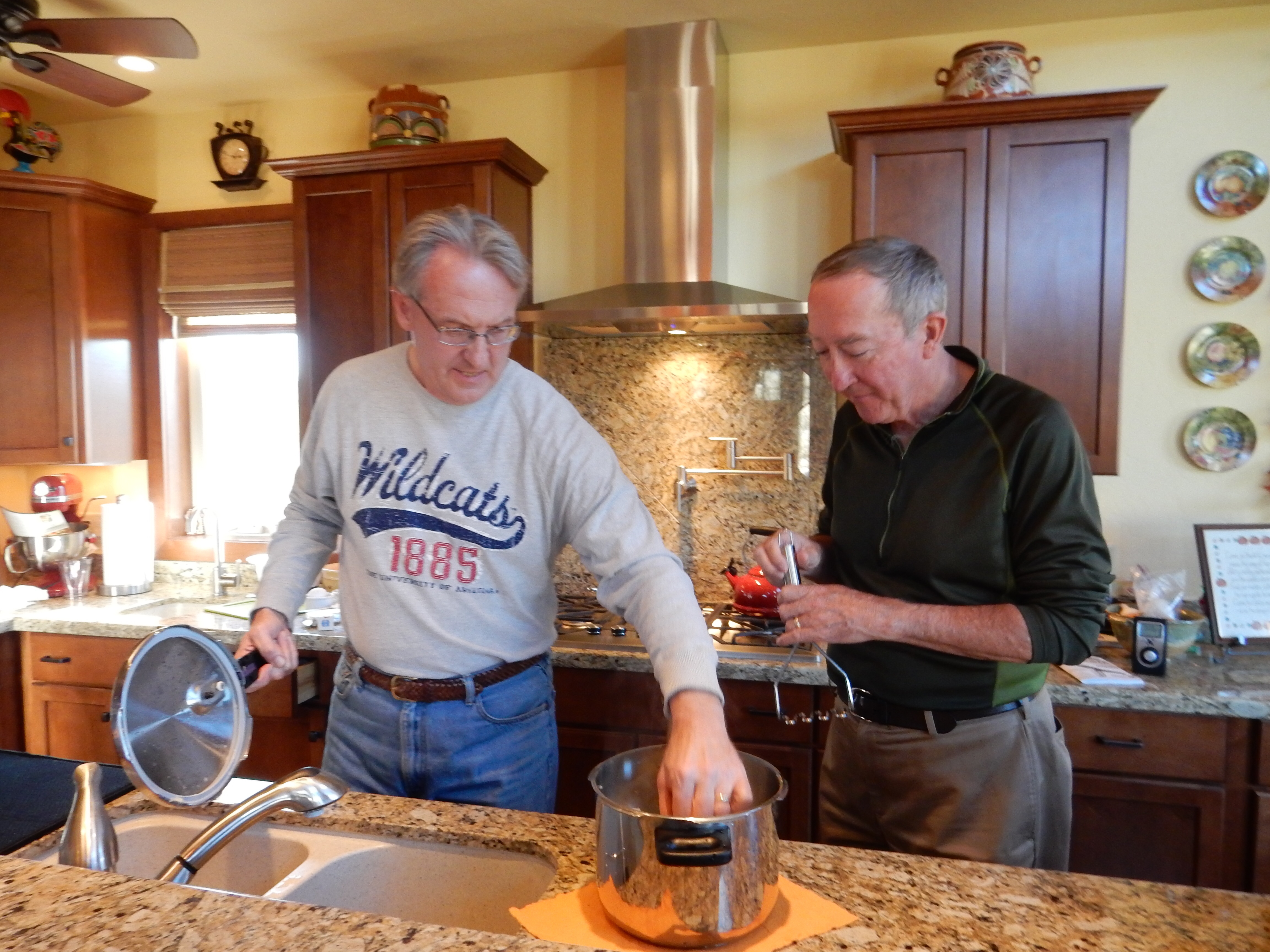
The work begins

Jude and Lacey arrive
The Thanksgiving meal is a glorious event, more so with Joyce at the helm. As we remarked to our daughters, the meals here have sauces and seasonings besides salt and pepper. Chris and I are more bland in our meal preparations. Wednesday we spent helping with meal preparations, to the best of our ability. Generally we can follow assigned tasks pretty well, so Joyce was chef, Lou sous chef, and Chris, Jude and Ed junior helpers.

Lots of chopping to do
Wednesday we did meal prep and ran errands in the morning prior to lunch at Cuvee 928, Lou and Joyce’s favorite restaurant in Flagstaff. More meal prep in the afternoon; Jude arrived before sunset Wednesday so the first order of business was a dog walk, getting Manning and Lacey acquainted. The two dogs have generally gotten along, although sleeping in separate rooms and fed at separate times. Lou and Jude have been the dog walkers primarily although some walks have been joint affairs or with another person along. Since Lou and Joyce have 2.5 acres and border the Coconino National Forest, the walks have covered diverse terrain.

Joyce and Lou with the turkey

The spread
On Thanksgiving, the Macy’s Day parade was taped and watched as the final steps were undertaken for the meal at 2 P.M. In 1995, the girls were in the parade with the high school marching band. Chris, Jude, and I were on hand to watch it from the sidewalks of New York. Thus, the TV show, despite all of the commercials and product placements, still induces fond memories. No naps, but we all were in bed much earlier than usual.

Thanksgiving Day sunset
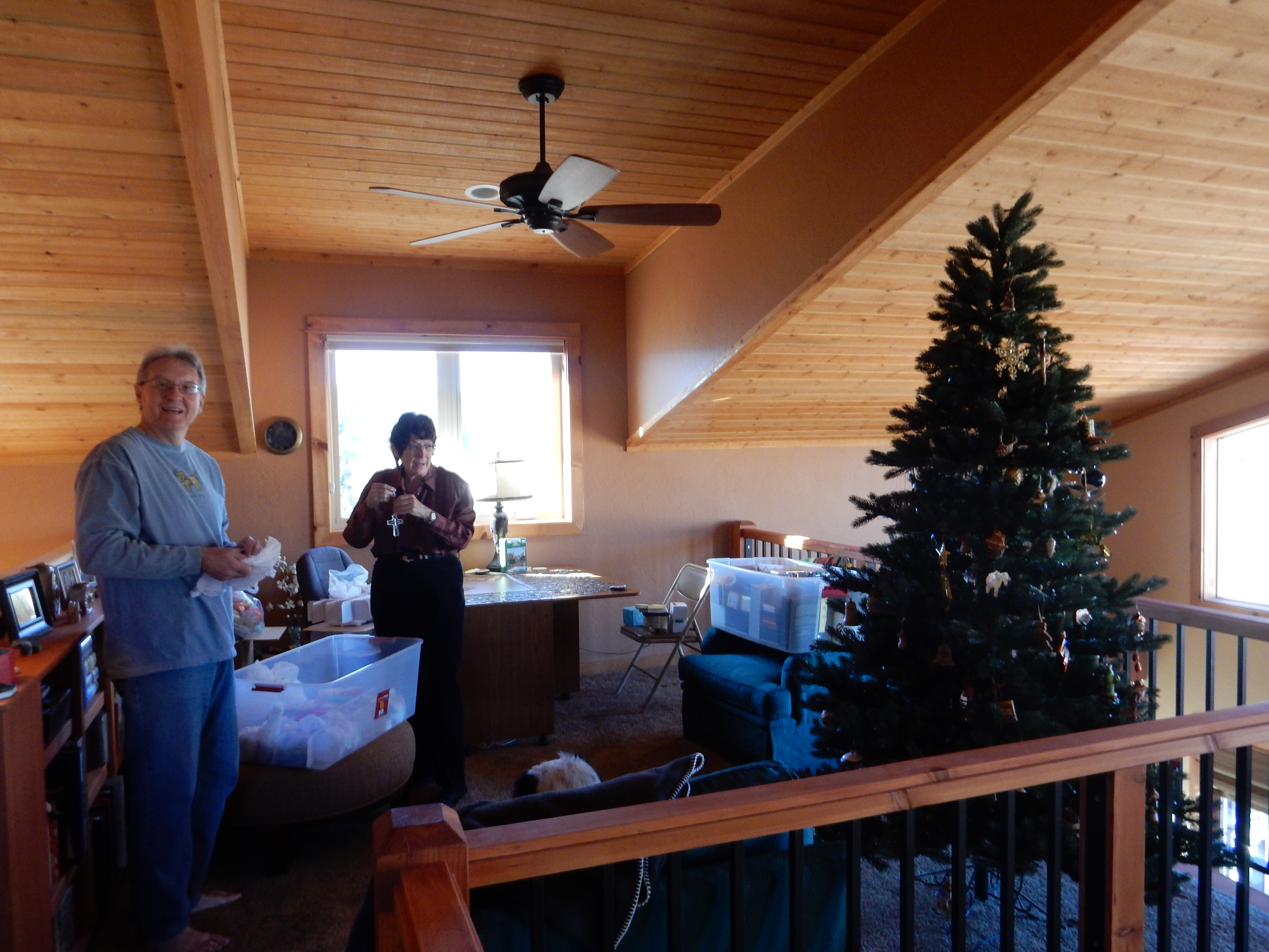
Friday Christmas tree decorating

Shutterfly photo album lesson
Black Friday is not a shopping day for us. The Friday after Thanksgiving has normally been the day to put up and decorate the Christmas tree. The tree here was up but had to be decorated with ornaments. In addition, a John Deere puzzle has been laying on a table and is slowly starting to take shape. Ed and Joyce have been working on a Shutterfly photo album for Joyce about her Portugal trip.

the hike begins at Picture Canyon

Lacey, Jude, and Ed

Lou Joyce and Manning
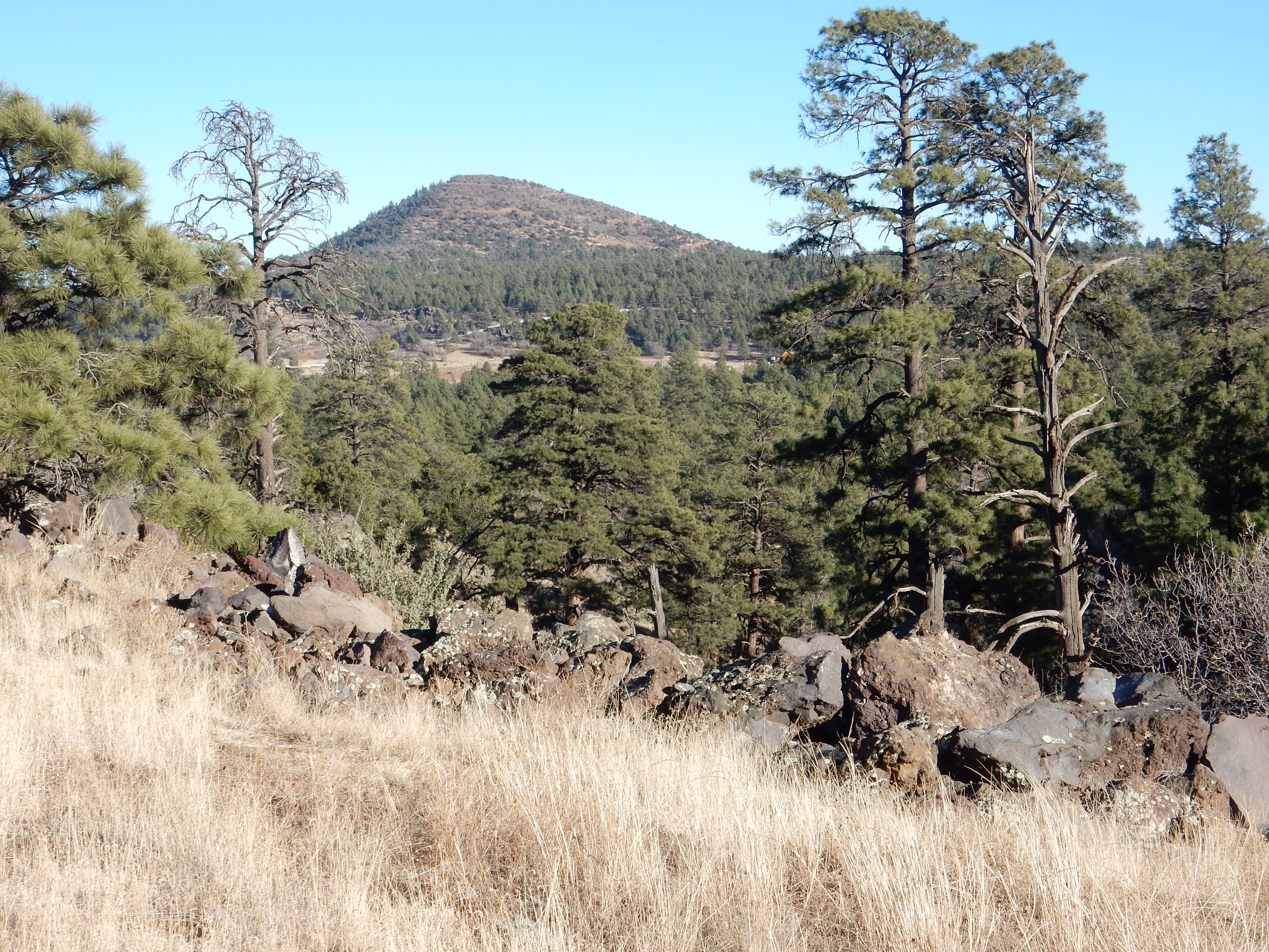
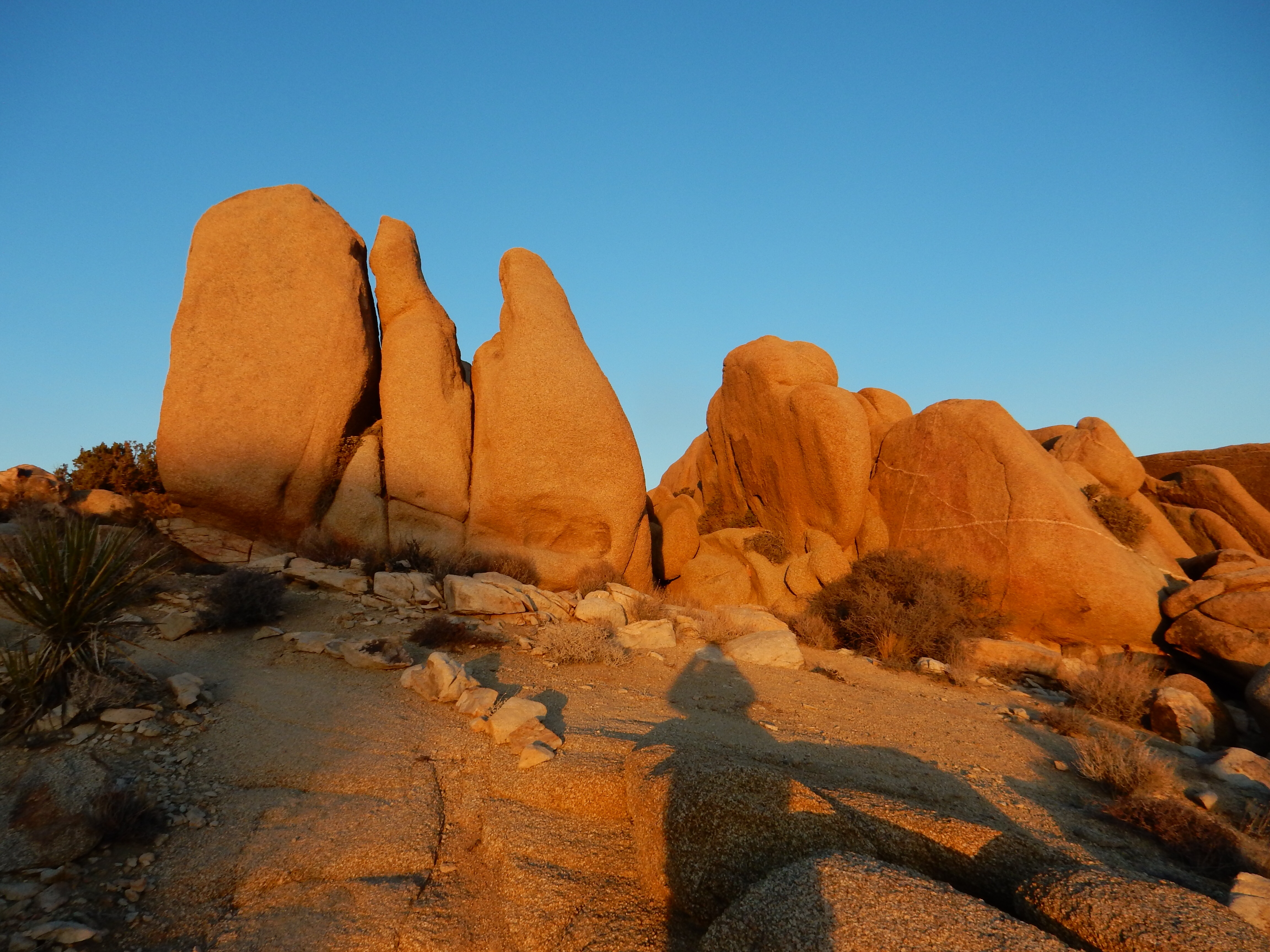
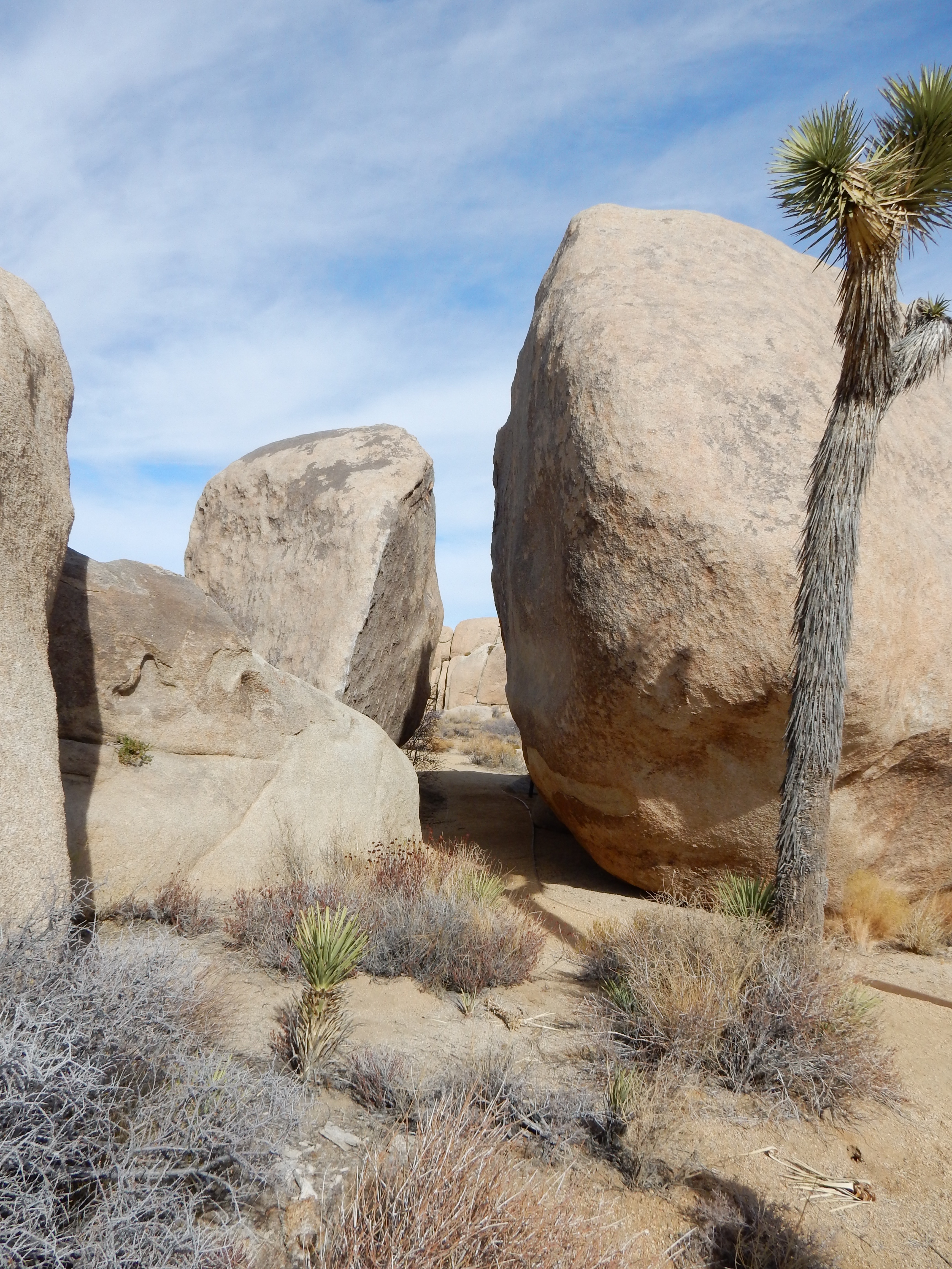
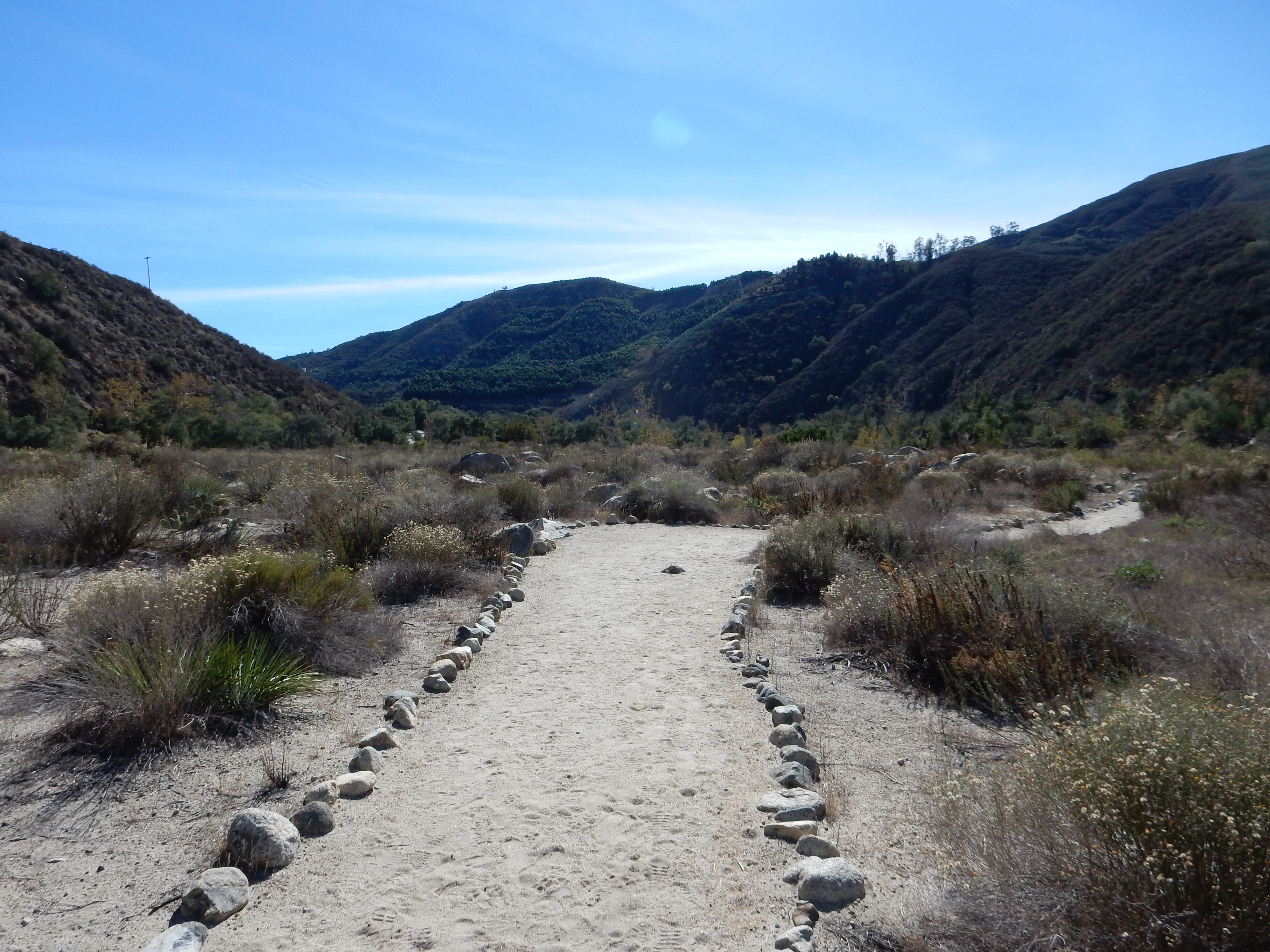
Picture Canyon hike

Picture Canyon hike
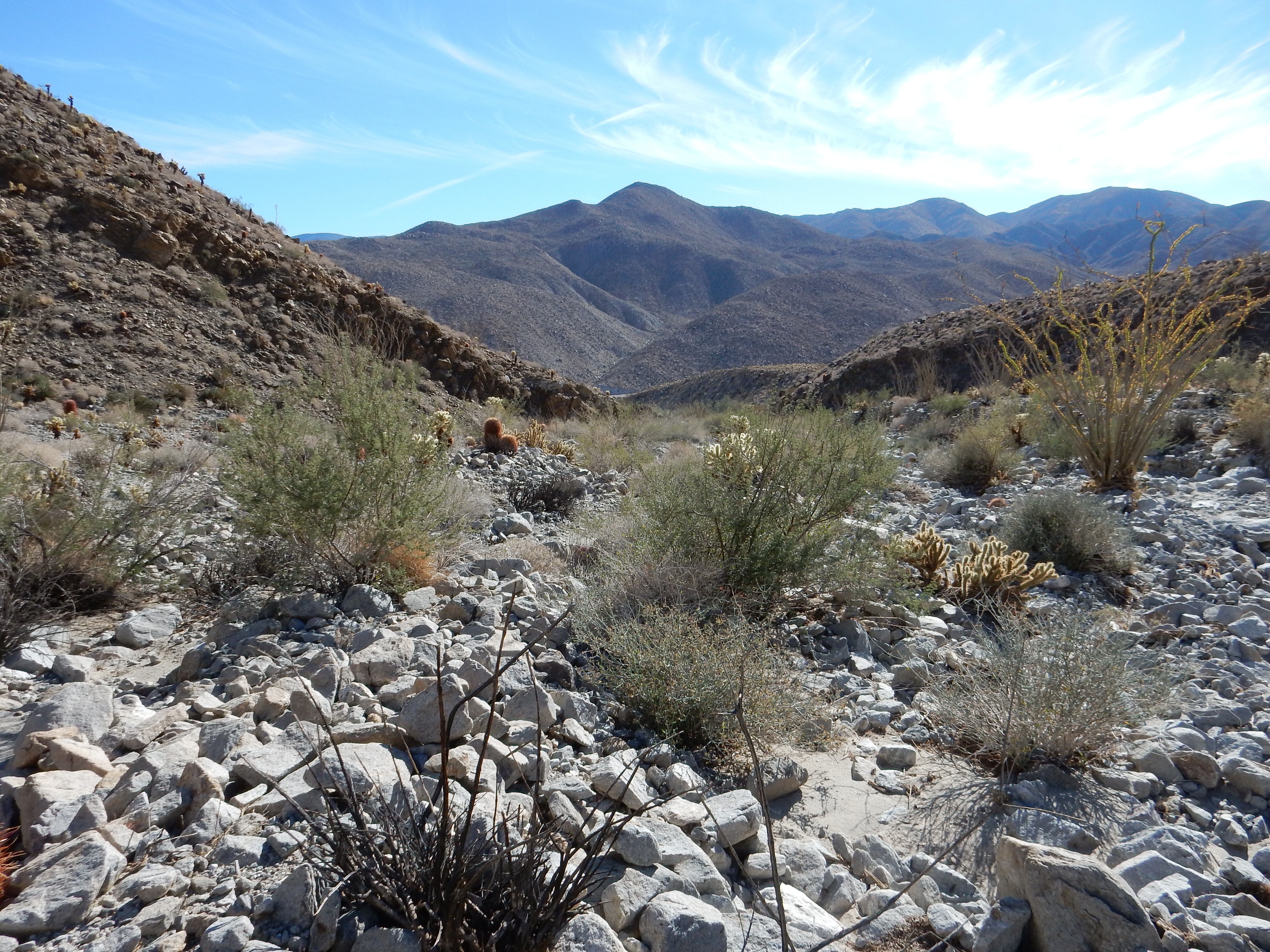
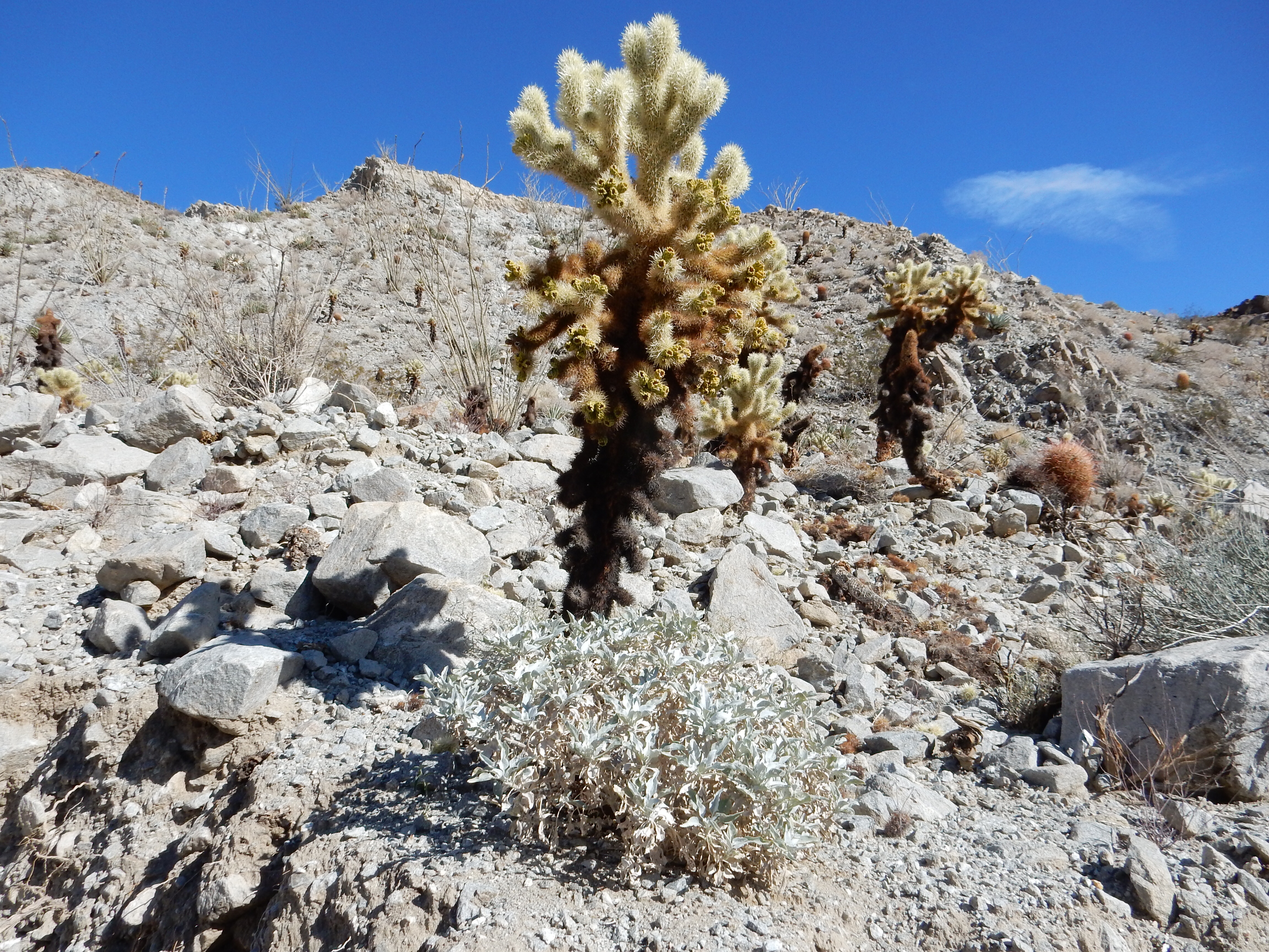
Today we also managed to squeeze in a walk in Picture Canyon. This is a new natural and cultural preserve owned by the City of Flagstaff. Besides a walk in the woods, the preserve is the site of Native American petroglyphs and a small waterfall on the Rio de Flag. The two dogs came along and managed the full hike, although once back at the ranch, they pretty much fell asleep.
For the evening, the five of us enjoyed leftovers and family story telling time.
Ed and Chris Flagstaff AZ Saturday Nov. 29 7:30 AM


Recent Comments