Posts Tagged With: wildflowers

2017 Trip Two: Tour of Texas April 5-6

Athens, Texas. Thursday April 6

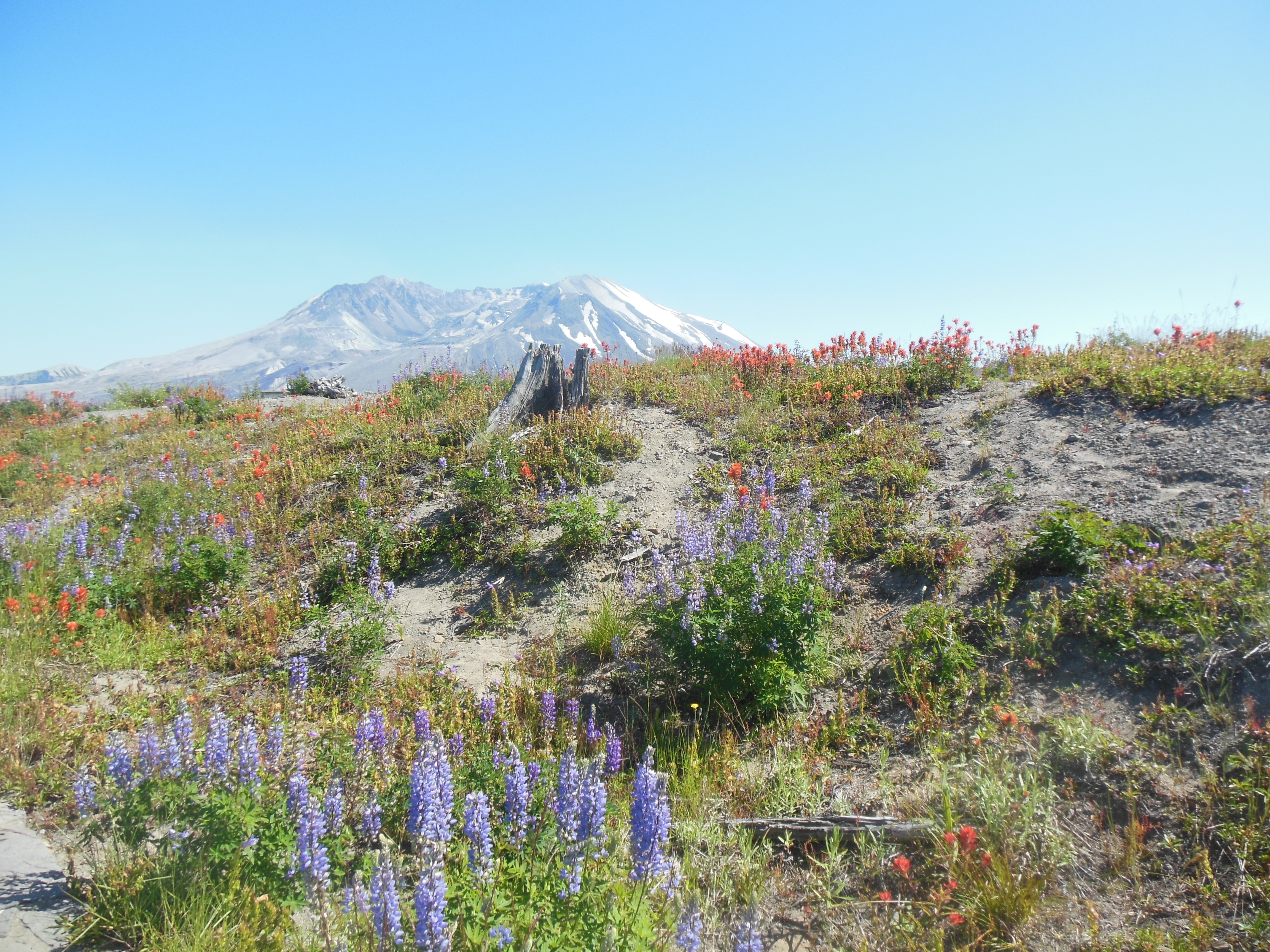
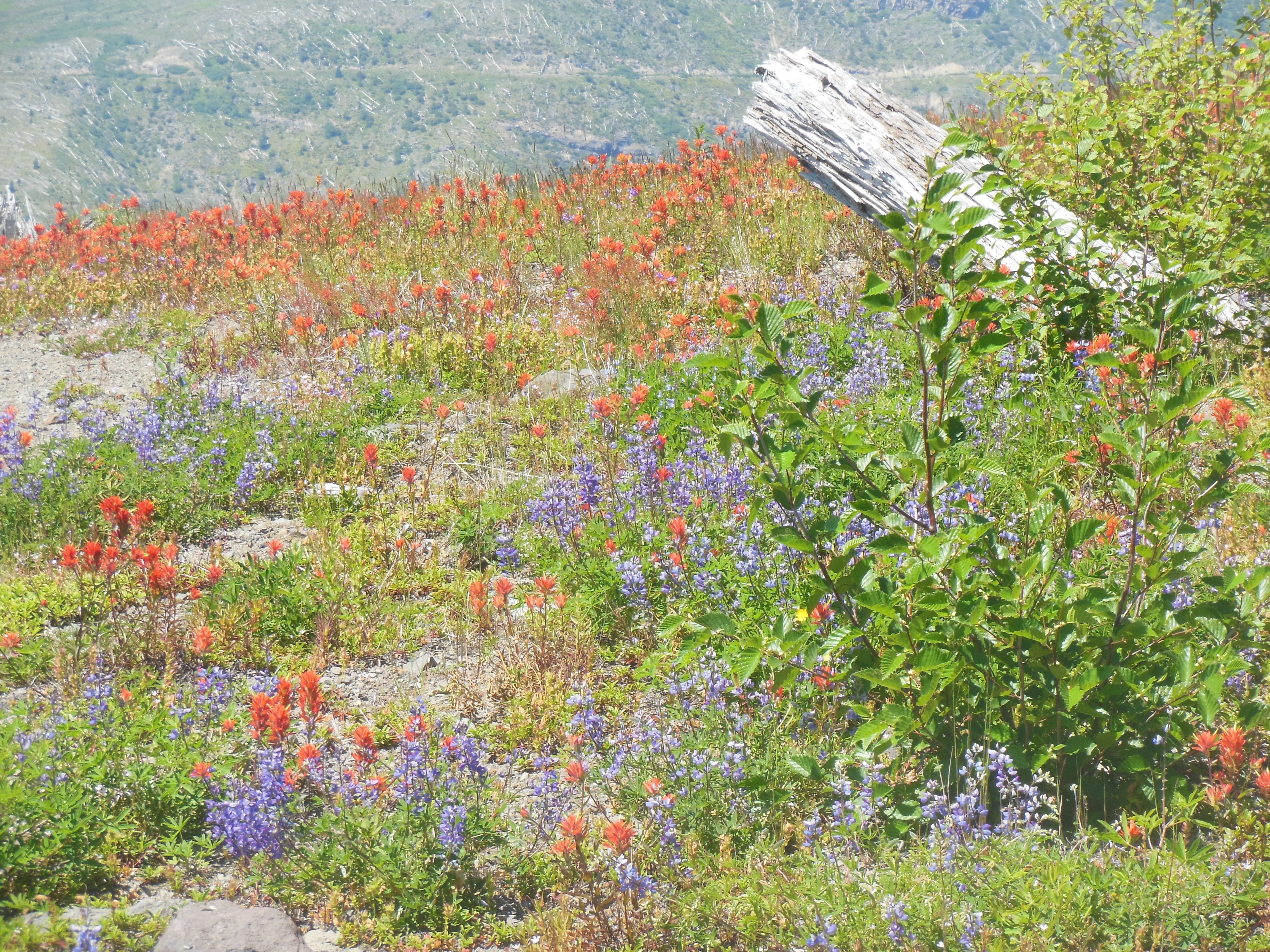
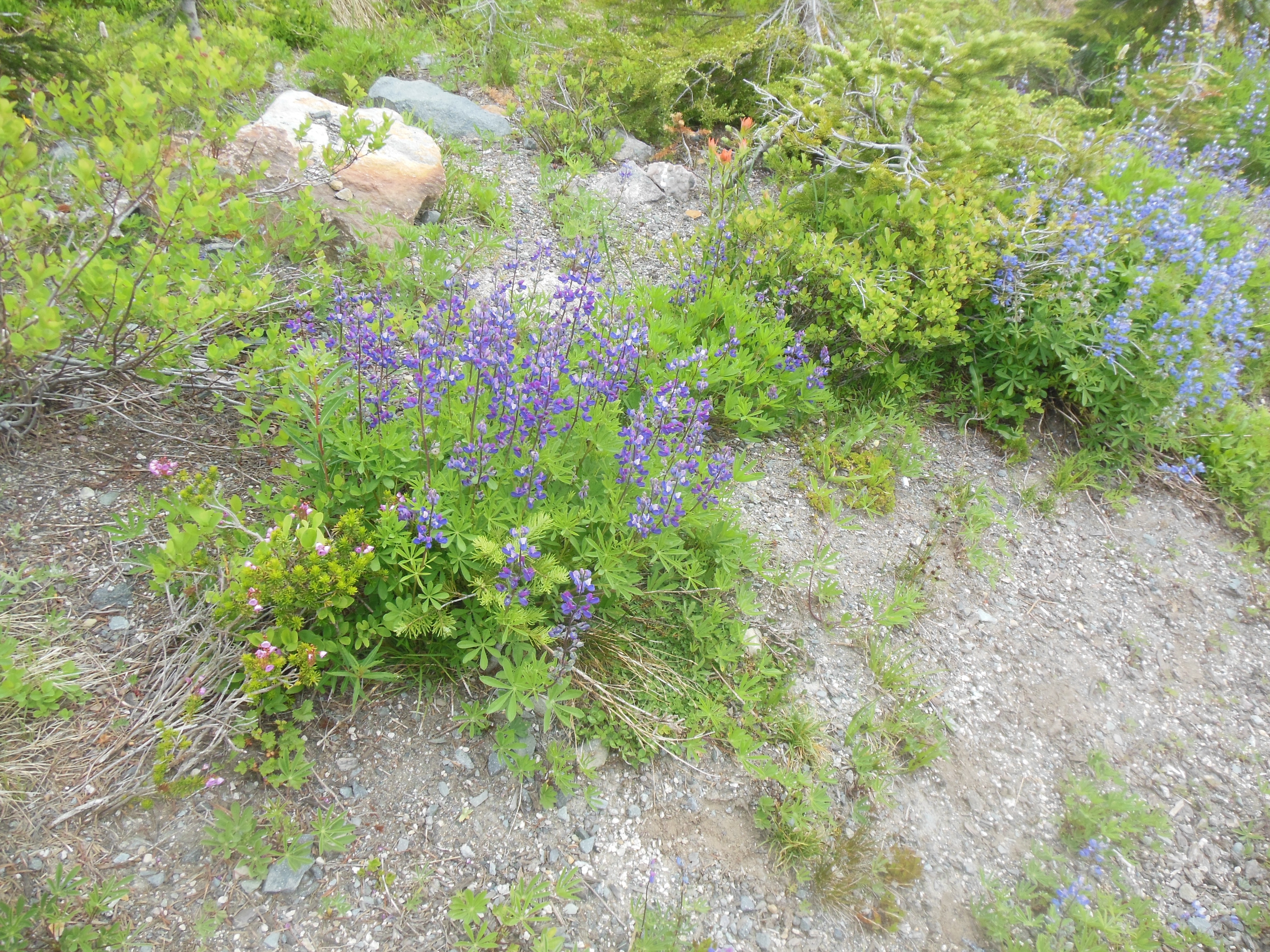
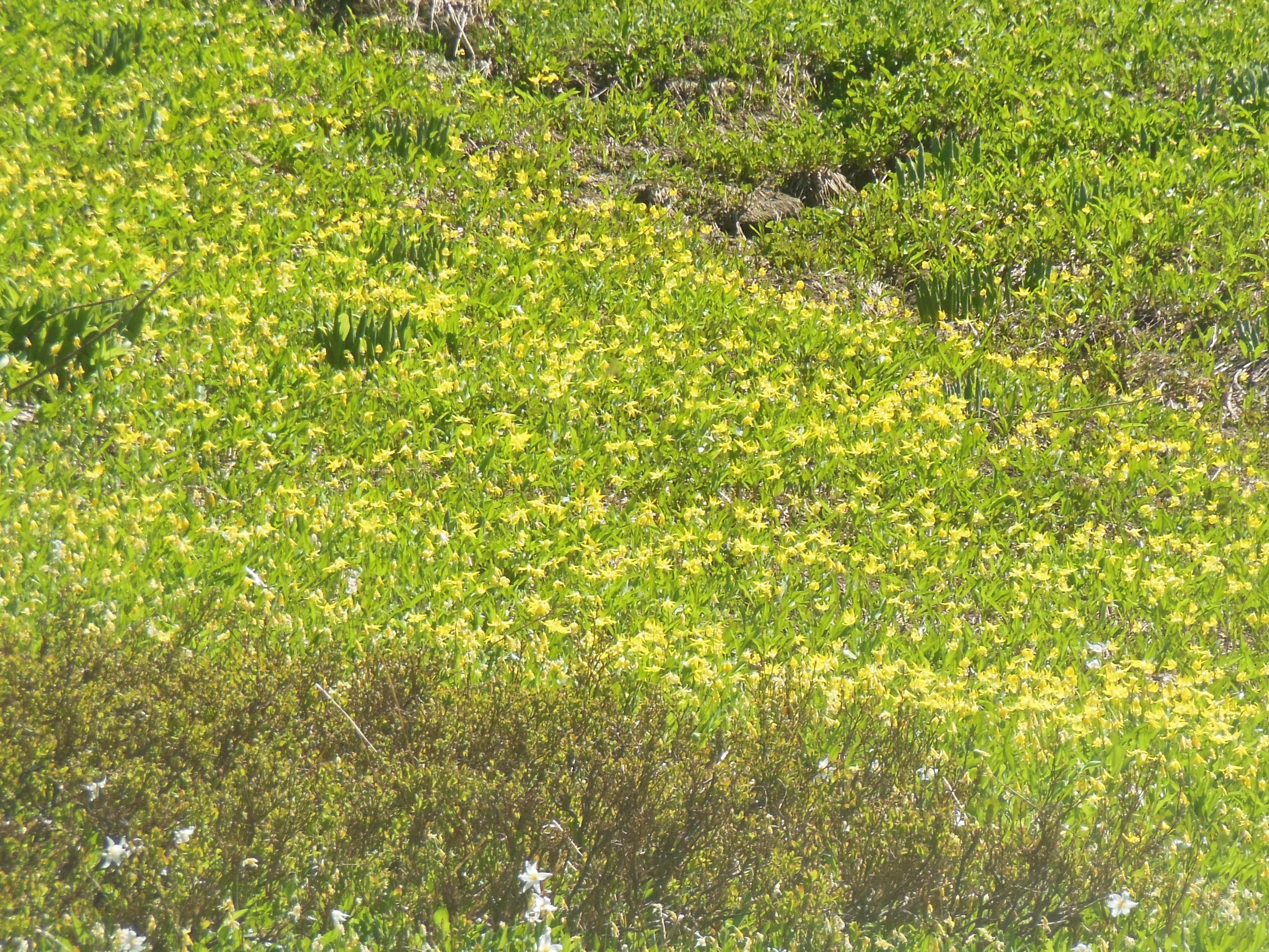
Fewer words, more pictures, and one surprise for you. One of our hopes for this trip was to see various flowers throughout Texas. We had some success and some failures. Wildflowers like bluebonnets and Indian paint brush were plentiful. Azaleas and Dogwood were long gone, victim of an early spring. Roses are blooming but some were just a bit past prime.

Along Texas Highway 31 between Waco and Ennis

By Ennis Texas

Wednesday morning we left Waco for our lodging in Athens Texas, just south of Tyler Texas. We left behind one Evergreen Club host for a new Evergreen couple in Athens. In both cities, our hosts have been delightful people, going out of their way to accomodate us. Once again, meeting with Evergreeners provides a welcome opportunity to discuss travel and interesting life experiences.

Ennis Texas was an intermediate stop. This day was hopefully our Texas bluebonnet day. As we drove Texas highway 31 from Waco to Ennis, the medians were overrun with colorful wildflowers. It was not feasible to take plentiful pictures but we did shoot a few. The flowers were nice but I was hoping for something with a greater impact. Ennis TX is a designated bluebonnet trail by the State of Texas. Would the bluebonnets still be out??

By Ennis Texas

Well, Ennis was a hit. First off, the town is organized with weekly maps printed of the current hotspots. Trails are marked. Printed directions of the route are also available. There is an iPhone app. Two hours were not enough time to see all of the locations on the current map. Massive fields of blue or pink or intermingled colors were visible. After a while, if the view was only great, we passed it by. We just wanted stupendous. Ennis by itself was worth the trip.

By Ennis Texas

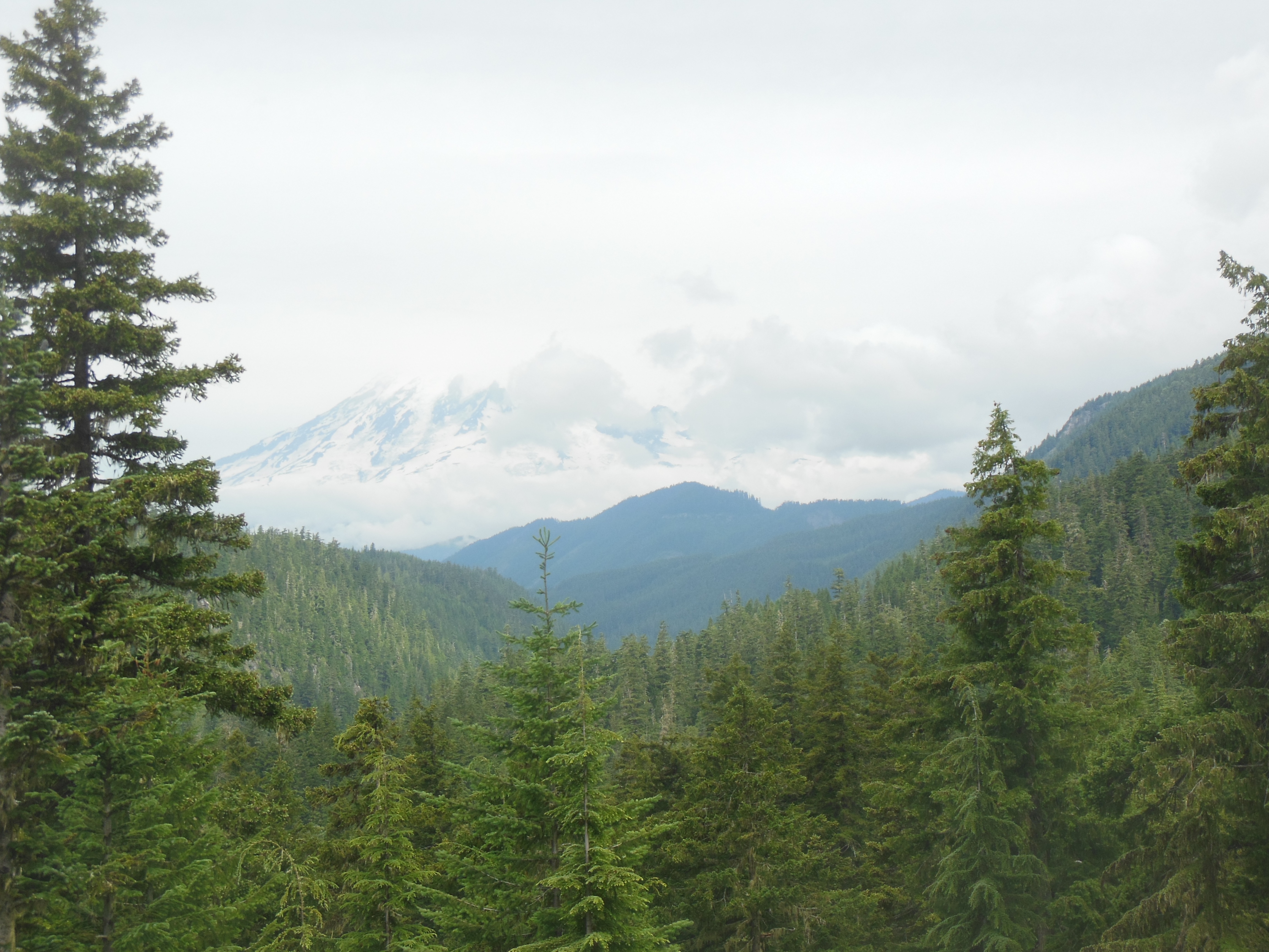
Palestine Texas has a three-week dogwood festival, combined with azaleas, so it was our next stop after Ennis. Internet research was inconclusive whether the dogwood and azalea would be blooming. We went to Davey Dogwood park, supposedly the center of the Dogwood Trail. Zip. Nada. Nothing. Green trees but not a scrap of colored leaves. That was two hours of driving to just view more of Texas countryside. Which, by the way, is somewhat hilly here. I will be curious to see if the Texas “Hill Country” is any hillier.

Video of bluebonnets

Thursday, April 6

Tyler Municipal Rose Garden

Up in Tyler Texas, the city maintains a municipal rose garden. Smith county, in which Tyler is located, ships most of the U.S. grown roses. Rose growing started here before the Civil War but it was problems with peach diseases around 1900 that pushed local farmers to switch from fruit trees to growing roses.

Roses at Tyler

The Tyler Rose Garden encompasses 14 acres and 35,000 rose bushes. Roses were blooming and visitors were light. Chris and I spent an hour walking the paths, looking at flowers, and enjoying the day (72 degrees, sunny, light wind). I took way too many pictures. After the gardens, we walked through the Rose Garden Museum. The museum is dedicated to the Rose Fest, held each October in Tyler.

Tyler Rose Garden

The Rose Fest started in 1933 with queens, parades, and balls. It is still functioning. It appears, though the museum itself did not state this, that the royalty must come from family with wealth to be able to afford the gowns and balls. Tyler is a town of 90,000 people and the community seems to survive economically on oil and roses at a minimum. The museum exhibits numerous ball gowns and a picture and biography of each of the Queens since 1933.

The process to grow rose bushes is another feature of the museum. We had no idea it takes two years to grow rose bushes. The hand planting, grafting, harvesting, etc is time-consuming.

After Tyler, our destination was Kilgore Texas, home to the East Texas Oil Museum at Kilgore College. AAA rates the museum as a gem. It turns out that East Texas was, and is, home to one of the major oil fields in the world. It is the second largest oil field in the U.S. outside of Alaska. The museum does an excellent job explaining the oil discovery and drilling process.

One exhibit discusses how saltwater is brought to the surface along with oil. The oil and saltwater have to be separated and then the saltwater is returned deep into the earth under strict EPA regulations. Another exhibit explains the earth’s geology; how the central portion of the U.S. was ancient seas and over millenia the advancing and retreating of the sea deposited various sediments and organic matter that is today’s source of petroleum and gas.

Replica oil derricks in Kilgore demonstrating how close derricks were to each other-similar to Spindletop.

Kilgore as a town went from 800 to 8,000 people in almost 24 hours when the first gusher was drilled in 1930. The resulting boom kept the Depression at bay for this part of Texas, although prices skyrocketed. Gas was selling for 18 cents a gallon, water was selling for $1.10 for a gallon.

On our way home, we thought we would stop at the Athens Arboretum for some hiking. But curiosity trumped good intentions. We drove by the Henderson County Livestock Show and spent an hour watching the judging of the barrows and gilts brought in by the surrounding FFA and 4H clubs. An interesting and different way to end our day.

A video of the Livestock judging of barrows and gilts

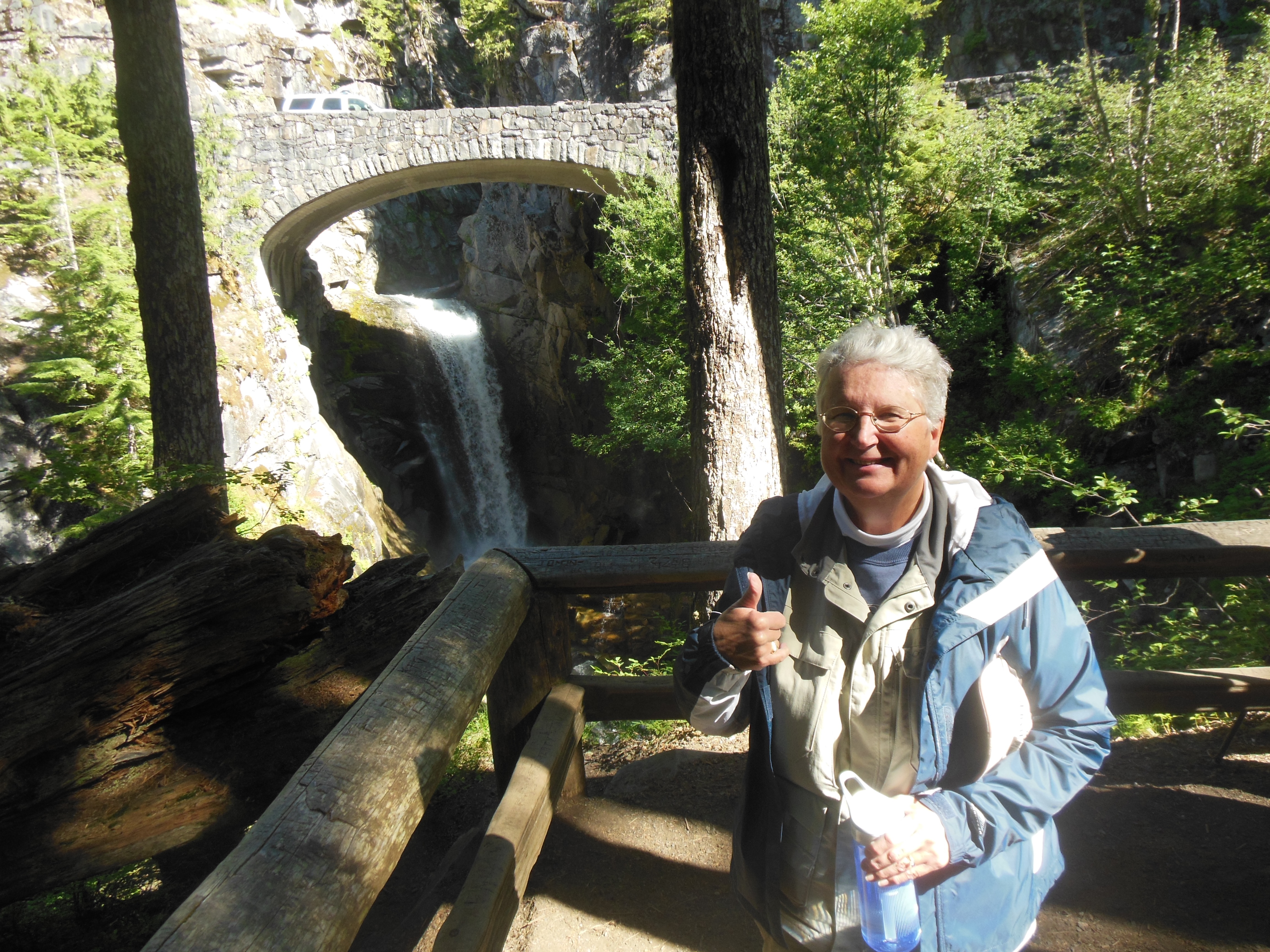
Ed and Chris. April 6

Categories: Uncategorized | Tags: , , , , , , , , , , | Leave a comment

2013 Trip Six, The Northwest, July 14

Kelso, WA July 14, Sunday

The long distance shot of Mt Ranier

The long distance shot of Mt Ranier

We left Paradise early. The road to Mt. St. Helens is all back roads, except for 10 minutes on an interstate, and, as usual, I added some extra time. Due to cloudy weather on Saturday, we did not have a good, long distance photo of Mt. Ranier.

Sunday was a clear, warm day so on one of back roads on our way to Mt. St. Helens was a great shot of Mt. Ranier. We realized how great it was as we zipped past it, and assuming there would be another opportunity, kept going. No other opportunity presented itself. Trees along the road and then high ridges consistently blocked the view. Eventually we turned around and went back to the one location and took photos.

First shot of Mt. St. Helens, mudflow path still visible in front

First shot of Mt. St. Helens, mudflow path still visible in front

The major visitor center to Mt. St. Helens National Volcanic Monument is on Johnston Ridge in Gifford Pinchot National Forest. The U.S. Forest Service runs it. The observatory and ridge are named after a geologist working at the location the day it blew as the on-site scientist who died in the blast.

Showing crater area and impact area of blast

Showing crater area and impact area of blast


Debris flowed over the ridge to lower right into canyon to left

Debris flowed over Johnston ridge to lower right into canyon to left


Over 100 miles of road and over 20 bridges were destroyed in the eruption. When they rebuilt the area, they made sure the drive to the visitor center presented several good photo ops. We took a few and then spent several hours at the main center. (The county and Weyerhauser each have visitor centers also.)

The film here is excellent and drew the largest crowds I have ever seen at national park/forest visitor centers. As the film ends, the curtains open and you have a direct view of the mountain and the crater the eruption created on May 18, 1980.

We also listened to two ranger talks and hiked up to another observation point. Along the path, two volunteers also were available to answer questions.

impact area

impact area

The talks and film explained the difference between this eruption and the volcanoes in Hawaii. Very simply put, the amount of gas in the magma determines if the magma flows smoothly (Hawaii) or explodes (Mt. St. Helens). For two months before the eruption, the mountain was giving increasing signs of eruption and everyone was expecting it would blow its top.

Eruption area

Eruption area


What it actually did was to explode laterally out the side of the mountain, sending gases,debris, shock waves, etc out the north side of the mountain. The resulting landslide, mudflow, shock waves, and ash destroyed an area the size of Chicago ,most of the damage done in the first three minutes. 57 people ended up dying. In just a few minutes, Mt. St. Helens went from the 7th tallest mountain in Washington state to the 87th.
http://www.fs.usda.gov/detail/mountsthelens/home/?cid=stelprdb5199437

You can follow the above link to the national volcanic monument site if you wish. Overall we found the display both compelling and informative. One other tidbit: Mt. Ranier is now labeled as the next most likely mountain to erupt. If that one goes, with its massive size and the huge amount of water contained in its glaciers, the damage will be cataclysmic. You did not know we were such adventurous folk, traveling to dangerous volcanic areas. Scientists believe they have better predictive capabilities now, partially due to Mt. St. Helens.

Wildflowers

Wildflowers


Wild flowers

Wild flowers


Wildflowers in MSH national volcanic monument area

Wildflowers in MSH national volcanic monument area


Johnston Ridge is at a little over 3000 feet in elevation. The lower height produced a more glorious explosion of wildflowers than was present at Mount Ranier. We discussed this with an elderly gentleman from British Columbia who said by the time we return to the Canadian Rockies, those wildflowers should be at their peak. We hope so.

The National Forest Service is doing nothing to re-forest the national volcanic monument area so scientists can learn about natural regrowth. Weyerhauser must own a lot of land in the area. They have signs showing areas they planted and the trees are doing amazingly well.

Trees knocked down by blast

Trees knocked down by blast


Weyerhauser regrowth area

Weyerhauser regrowth area


We finished the day at our lodging in Kelso, WA, a small town along Interstate 5. Monday we head to Tacoma to visit friends from Carlisle.

Ed and Chris July 15 9 am

Categories: road trip, travel | Tags: , | Leave a comment

2013 Trip Six, The Northwest, July 12 and 13

Paradise, July 12 and 13

As I mentioned in the previous blog, we were without cell phone and Internet service for July 12 and 13th. We stayed at the Paradise Inn at Mount Rainier in Washington state. This post will cover both Friday and Saturday, the 12th and 13th.

We left Yakima, Washington, Friday morning. The initial part of our drive was through the fruit bearing orchards west of Yakima. It seems each part of Washington says it grows some large percentage of a fruit; apples, raspberries, rhubarb, mint, cherries, etc.

First view of Ranier from White Pass

First view of Ranier from White Pass

We entered the mountains through the White Pass Scenic Highway, U.S. Highway 12. It made us think of Minnesota and Wisconsin where U.S. 12 is a major road. This road goes through heavily forested, mountain terrain.

The day had begun hot and sunny in Yakima. As we progressed through the mountains, it became cooler and cloudy. Our first stop was at the Clear Creek Falls overlook. Clear Creek Falls was a pleasant diversion. We would be seeing many more falls as the two days in Mt. Ranier progressed.

Fog at Mt. Ranier visitor center on Friday

Fog at Mt. Ranier visitor center on Friday

As we got closer to Ranier, the cloud cover was pretty thick. Ranier averages over 120 inches of rain each year AND over 600 inches of snow! That’s over 50 feet of snow for the mathematically challenged. The record snowfall is 93 feet back in the ’70s. So, a bit of cloudiness should be expected. The question was whether we would see any sun. We had difficulty Saturday afternoon even knowing which partially visible peak was Ranier.

On Ranger talk on geology and global warming

On Ranger talk on geology and global warming

Trails partially covered by snow

Trails partially covered by snow


The park has road construction projects underway. At one of them, the delay was half an hour. We chatted with a man from Hawaii whose home on the Big Island had been destroyed by the lava flows from the volcano there. While waiting, he showed us some of the pictures.

We explored the visitor’s center and took two park ranger led walks Saturday afternoon. The first focused on the wild flowers in the park. Peak wildflower season is late July to early August. The Paradise area of the park is at 5200 feet and is considered a sub-alpine growing area. The flowers are starting to bloom but were not yet at peak. We found the greatest concentration and diversity along roadways where the snow melts earlier and there is more direct sunlight. Along some of the trails you could observe avalanche lilies poking out through the snow.

There is still snow on many of the trails, usually in patches at lower elevations but completely snow covered at higher ones. Some of the serious hikers had skis and hiked up and skied down.
Other hikers make a two day hike to the top of Mount Ranier, going from the 5200 foot elevation at Paradise to the top at 14,200 feet.

Our second ranger led talk focused on the mountain’s geology and glaciers. The snow limited the area the group could walk to. The fully snow covered areas were not a good hike but other trails only had snow on 10-25 foot sections and we hiked those. A number of people dropped out as they were not prepared to walk on snow.

Avalanche lilies peaking thru snow

Avalanche lilies peaking thru snow


Wildflowers

Wildflowers

Mount Rainier has 26 glaciers on it, the largest number for any one single mountain in the lower 48 states of the U.S. One member of the group did get into a “discussion” of whether global warming was really valid since no real science backs it up. “Global warming was invented by liberals when communism was overthrown.”

After the hikes, we checked into Paradise Inn. Paradise Inn was constructed similar to the other great park lodges of the West. Massive wood beams, handcrafted woodwork, large stone fireplaces, very small lodging rooms, no TV and Internet. It is only open mid May to early October.

Paradise Inn lobby

Paradise Inn lobby

The lobby has a great room with fireplaces at each end. Due to the lack of electronic entertainment, the lobby is occupied each evening with people reading, playing cards and board games, and just socializing. A piano player plays calm music from 5 to 9 each night–7 days a week and he does not take a break during his four hour stint.

Friday sunset as skies start to clearr

Friday sunset as skies start to clear

As dusk started to settle in around 9:30, we attended our final ranger session on astronomy. The skies had cleared enough that the sky was visible and Ranier was starting to not be blocked by clouds. The ranger had a telescope out and we saw the rings of Saturn and the moon close up. I did not remember Lou’s magnification but the sizes seemed similar. This one had an autofocusing feature that allowed him to enter the solar feature he wanted to observe and the telescope automatically found it.

July 13

Sunday morning walk by Ranier

Saturday morning walk by Ranier

Saturday morning we were up early and walked to Myrtle Falls, close by the Inn. The flowers were starting to open up and the skies were clear. We drove to Narada Falls and took some pictures there before we headed out to Christine Falls.

Narada Falls

Narada Falls


Christine Falls

Christine Falls

As is usual, one can meet a number of people simply by asking if they want you to take their picture (so the photographer can be in the shot) or smiling and asking where people are from.
I think Chris has taken photos on 80% of all camera models made.

At Narada Falls we met a guy from the DC area who was riding his BMW motorcycle around the west. He too had observed the phenomenon of wild flowers blooming close to the road and was thinking or writing a book titled “20 feet from the Edge”.

Field of flowers on Sunday

Field of flowers on Sunday


Wild flowers

Wild flowers


We took a break back at the lodge area and the increase in people from Friday to Saturday was dramatic. Luckily people who stay at the Inn get preferential treatment or we would have had to walk blocks from the overflow parking that flows down the road exiting the lodge and visitor center.

We walked some more in the afternoon and Saturday evening Chris even played cards. She beat Ed at rummy.

View of Paradise Inn

View of Paradise Inn

Close up of some glaciers with hikers paths on them

Close up of some glaciers with hikers paths on them

Ed and Chris July 15 8 am

Categories: road trip, travel | Tags: , , , , , , , , | Leave a comment

Blog at WordPress.com.