Posts Tagged With: waterfalls

Quick trip Out East, July 13-20

One of the 18 waterfalls in RIcketts Glen State Park, PA

Muncy Valley, PA July 20, 2021

Most of this post, and those following, will cover the return journey of our trip to visit Deb and Rebecca in the Boston area. The journey to Boston was simply driving, three days, no places visited. The four days in Boston were family time where we were able to finally visit in person, rather than FaceTIme visits.

Monday the 19th, we had a leisurely breakfast with Deb and Rebecca and drove to Muncy Valley PA. Muncy Valley is a small community in north central Pennsylvania. We have an Airbnb here since hotels are few and far between. We chose Muncy Valley since it is centrally located between RIcketts Glen State Park and Worlds End State Park. Foolishly we thought we would hike in both parks on Tuesday, returning to our lodging Tuesday night before heading out on Wednesday morning.

For those of you who do not know, we lived for 28 years in Pennsylvania but never visited either of these parks, or much else in northern Pennsylvania. Our focus for those years was mainly visiting relatives in Connecticut, New Jersey, Minnesota, or the D.C. area. Non-family trips were generally to the New Jersey shore or sites between Philly, Pittsburgh, New York, and D.C.

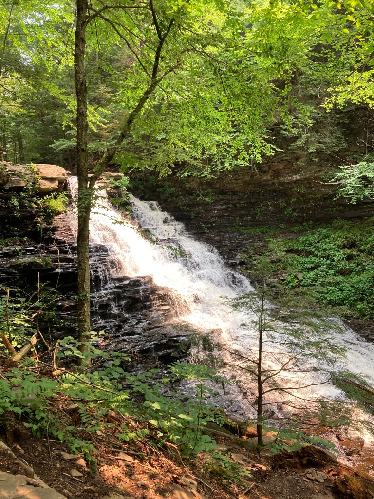
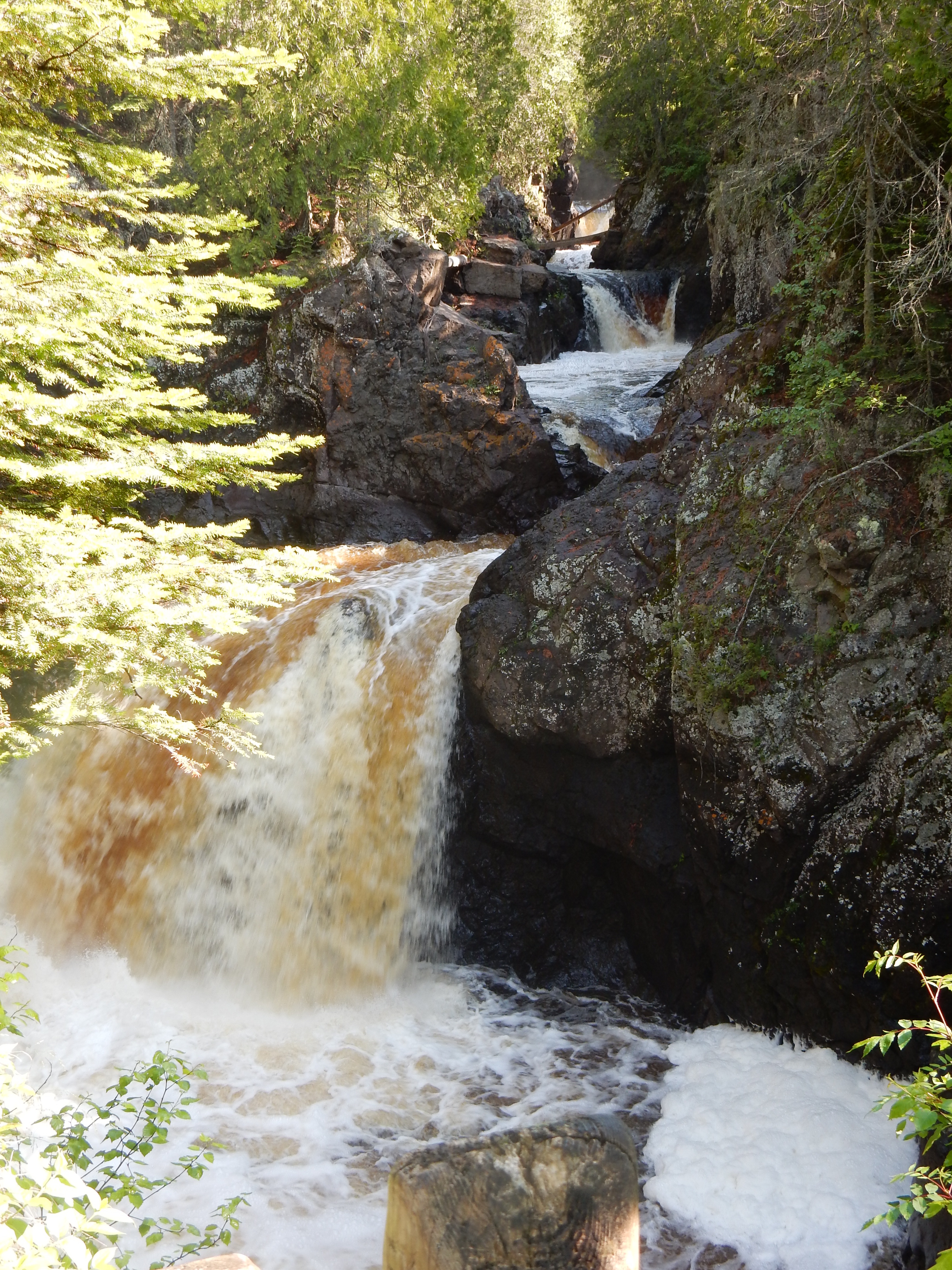
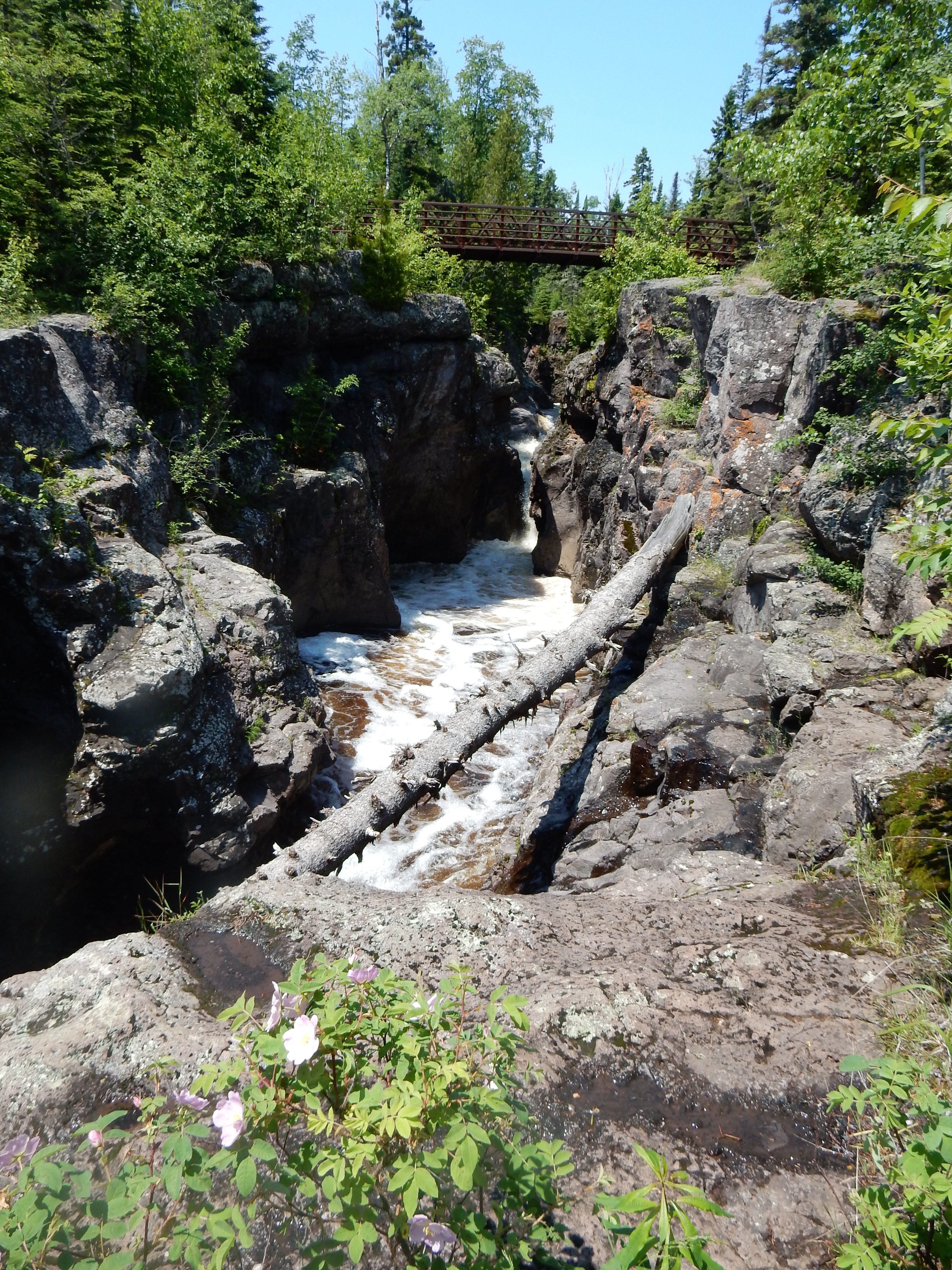
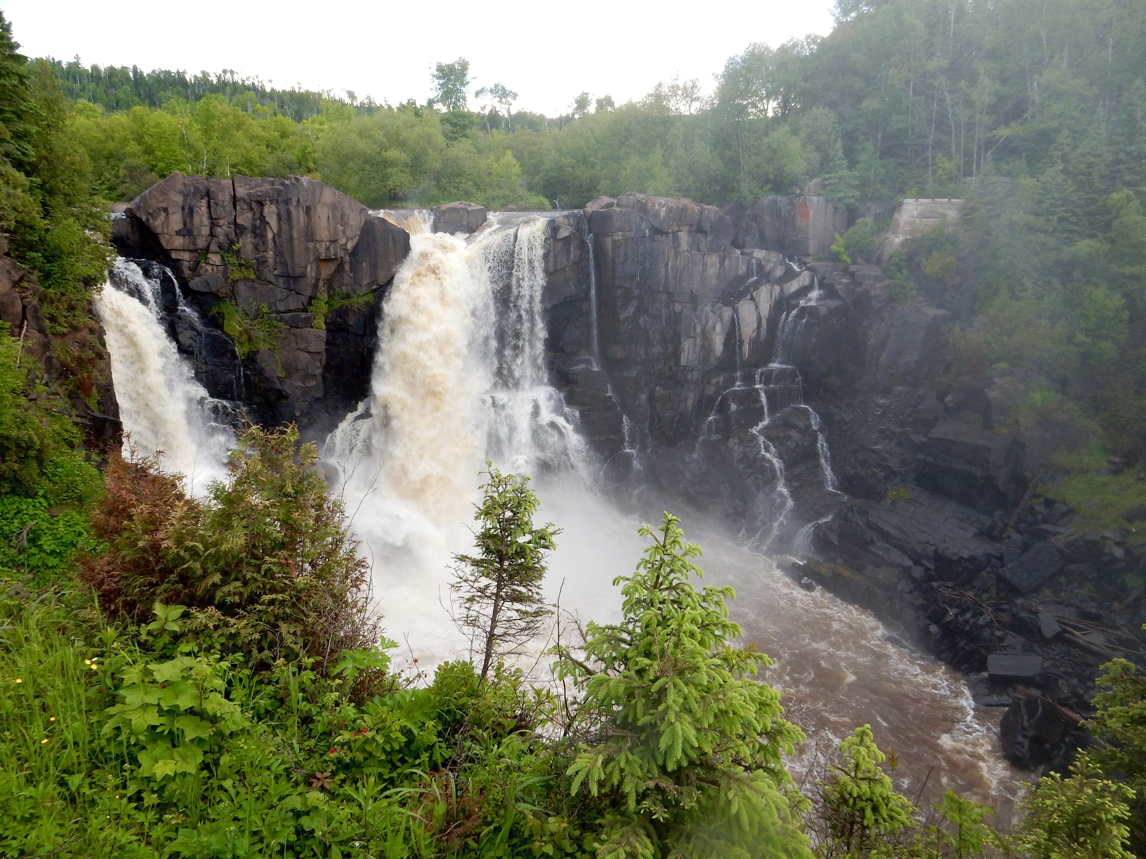
Ricketts Glen State Park was originally part of a large land holding whose owner tried to profit from a hotel and later lumbering. A railroad was finally built into the area around 1890 to ship lumber out of the area. There are no waterways large enough to float the thousands of acres of timber that existed in the area to outside sawmills. However, the waterways that do exist cut through the rock and formed waterfalls, 21 of which are along the Falls trail. The area, and several others in Pennsylvania, almost made it into the National Park System back in the 1930s. However the Depression ended any hopes of federal funding and eventually Ricketts Glen was made into a state park.

One-half way through the first third of the three legs of the trail triangle

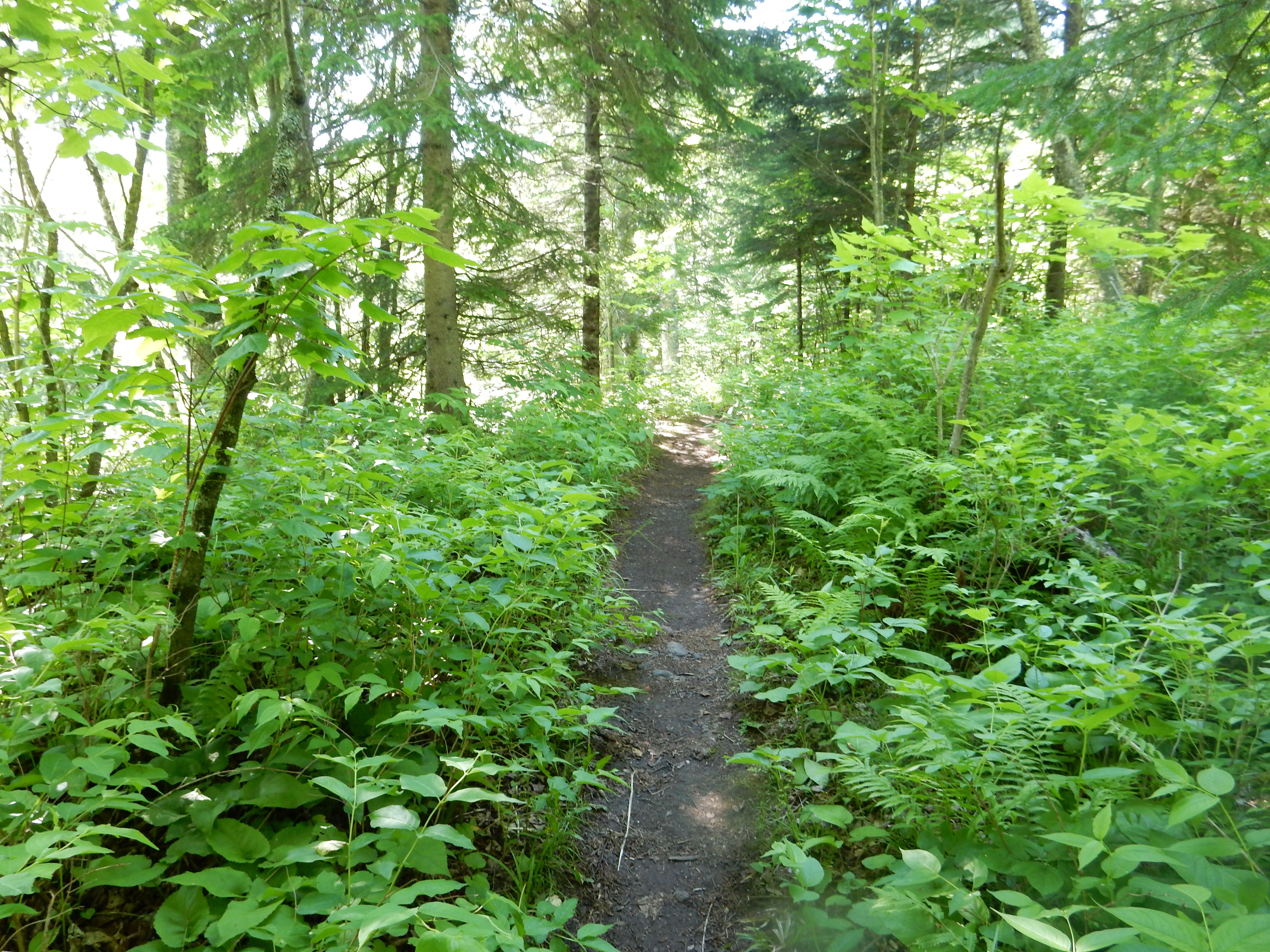
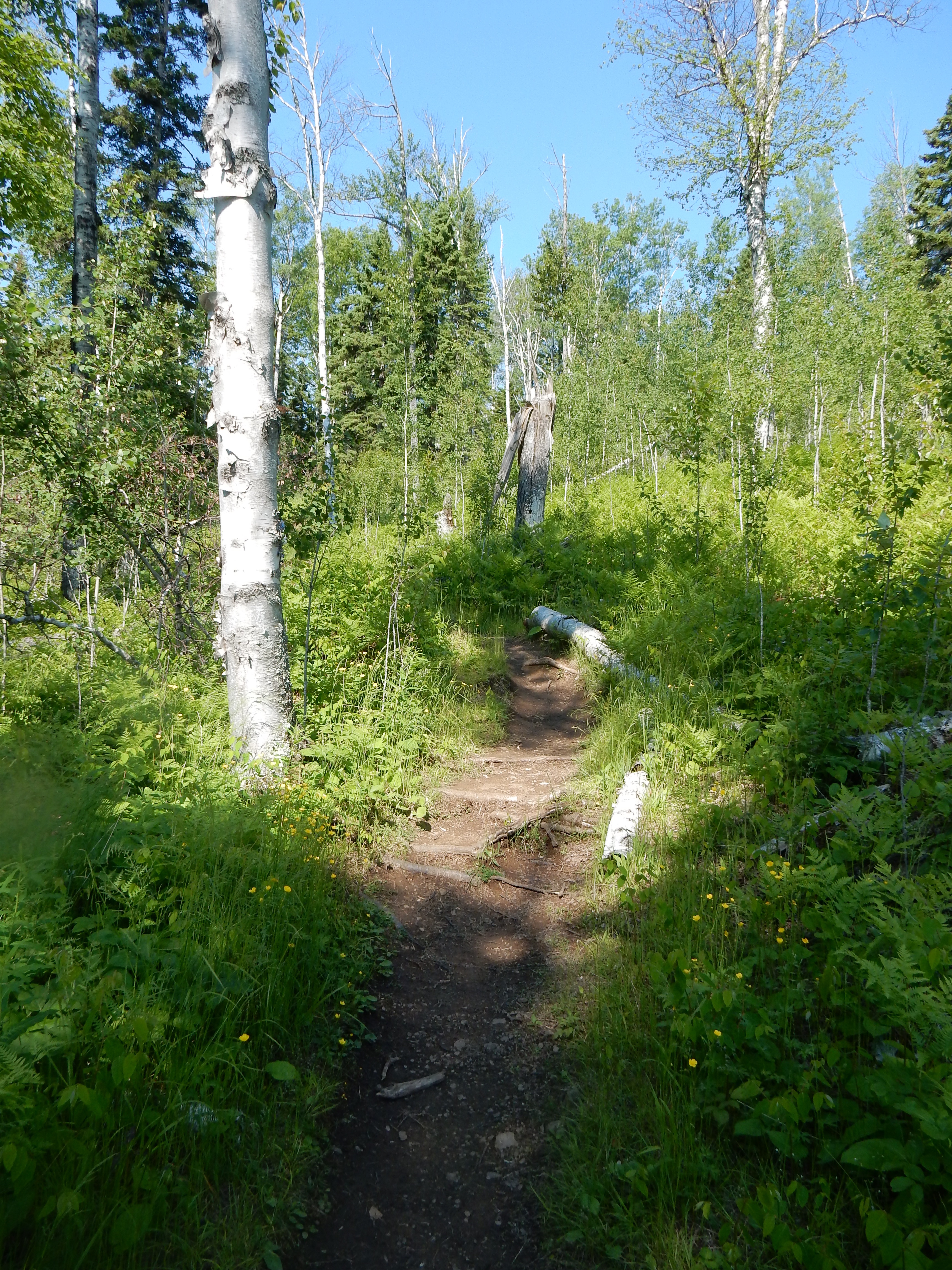
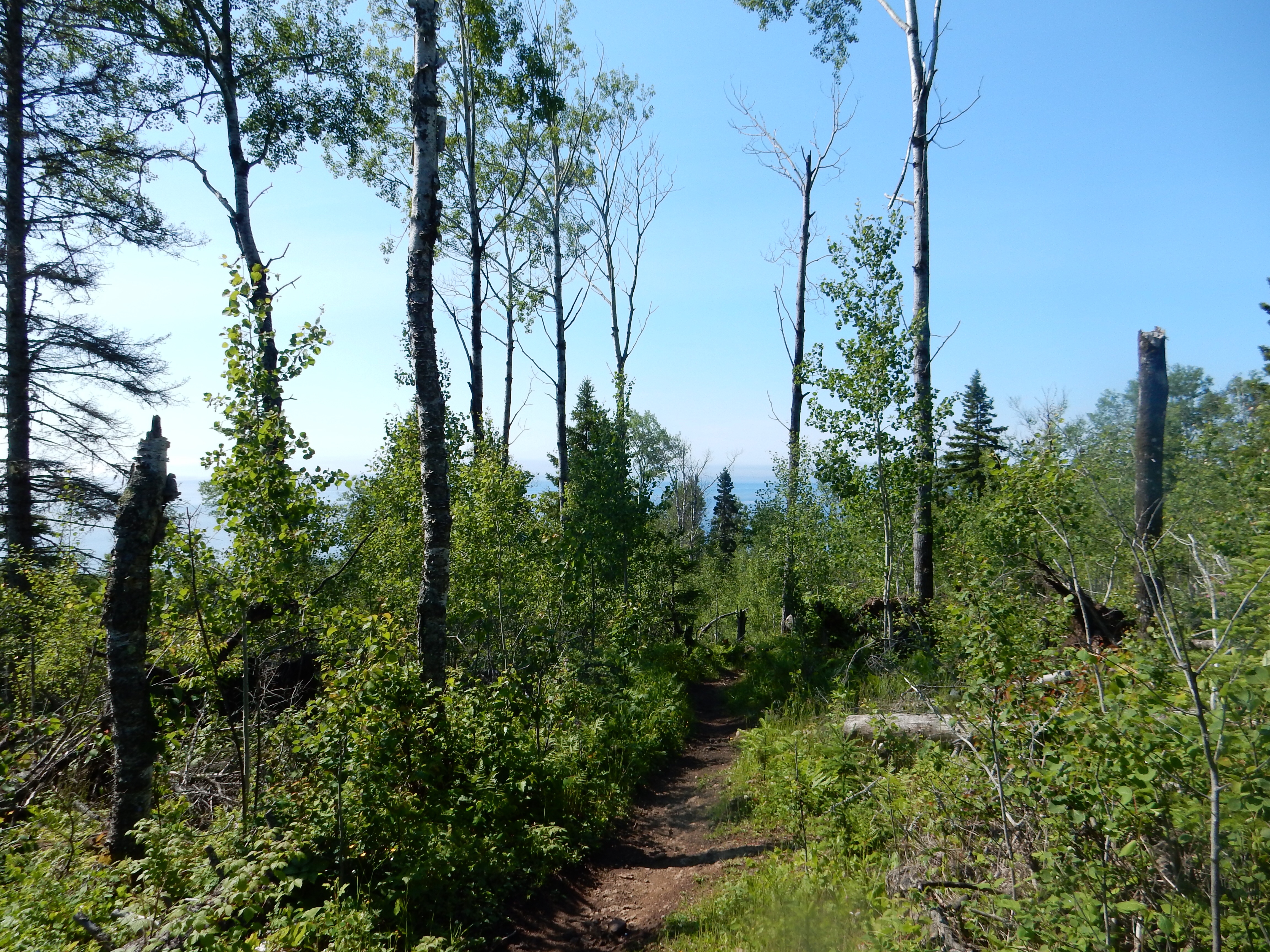
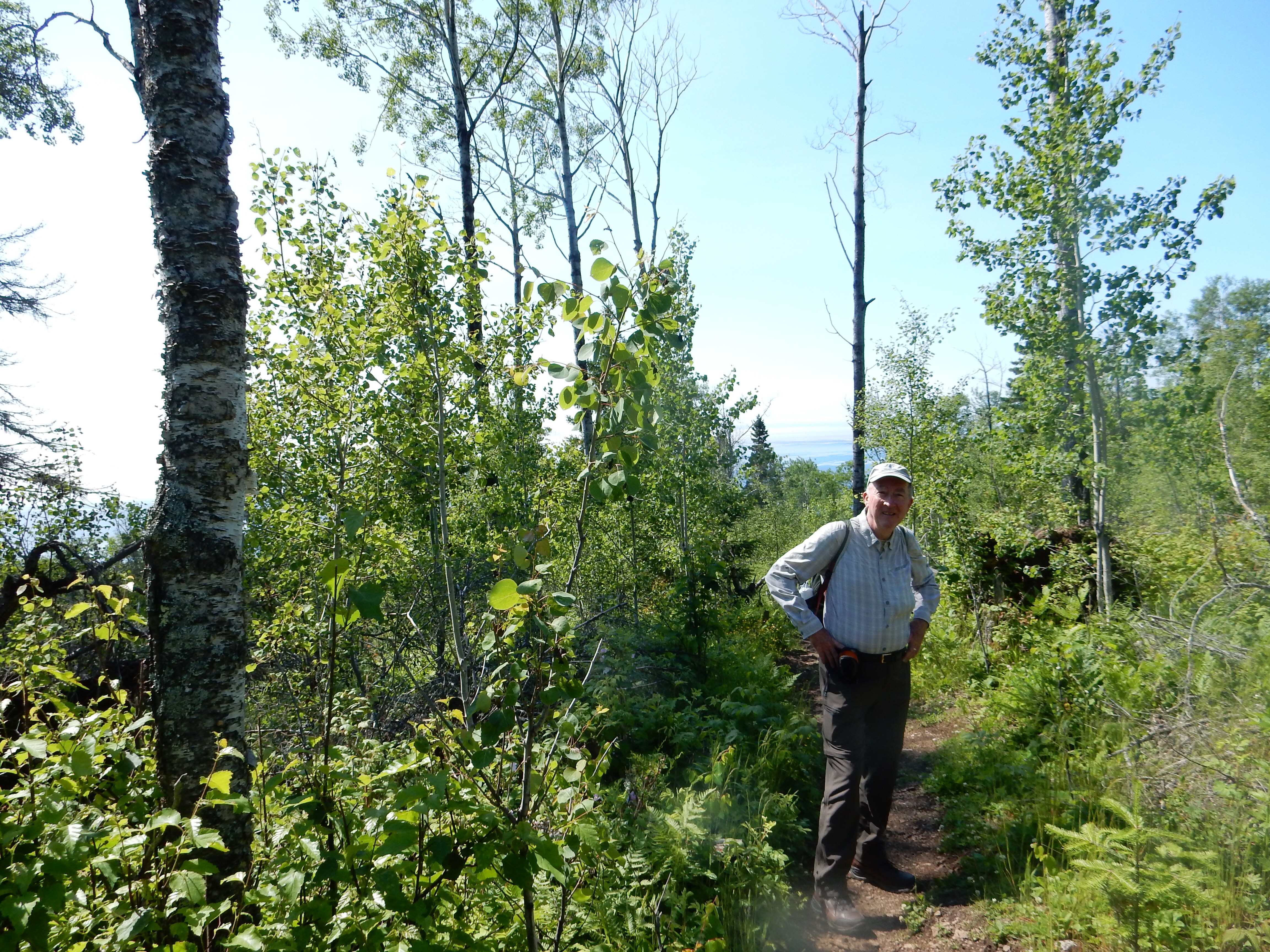
Today’s hike was a 3.5 mile hike along the Falls Trail System. The trail brought us to 18 of the 21 waterfalls in the park. The trail is basically a triangle, the first third on the north going through rocky and forested areas; the second third on the east side going down one creek until it meets a second creek. The final third returns up the west side alongside the second creek, to the beginning.

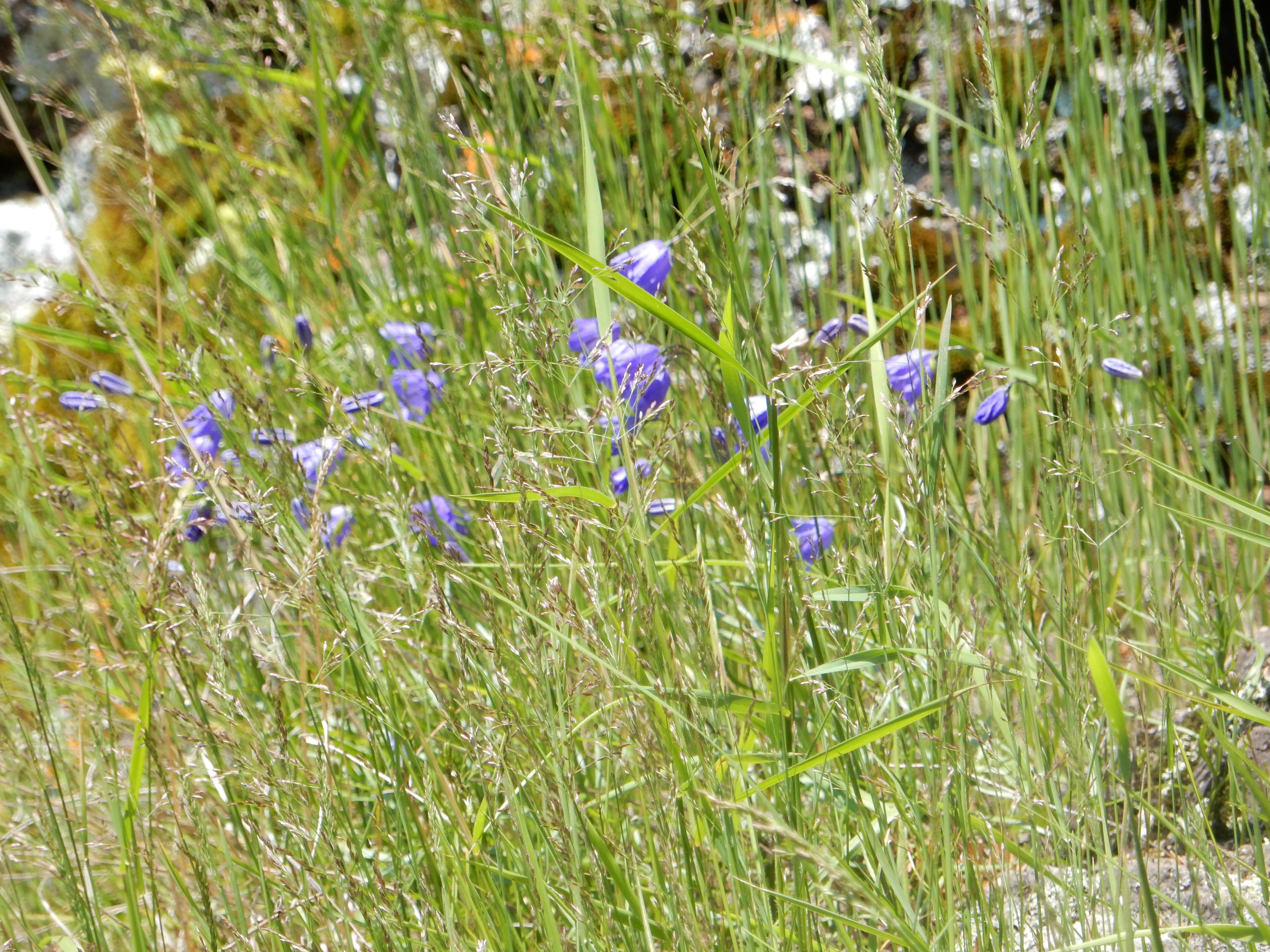
The first third was a pleasant hike. Heavily forested areas with sections of rocky cliffs. Frequently you are passing small rivulets of water, not large enough to be called a stream. Water would drip off cliffs and create other small waterways. Eventually enough of these drips , rivulets, and waterways would join together and create a creek. As the creek continued, it kept being joined by more water. Eventually, the creek had obtained enough water and downward momentum to create a nice stream with rapids. Then you came to the waterfalls.

Clockwise from the upper left, little rivulets join to form creeks and finally waterfalls

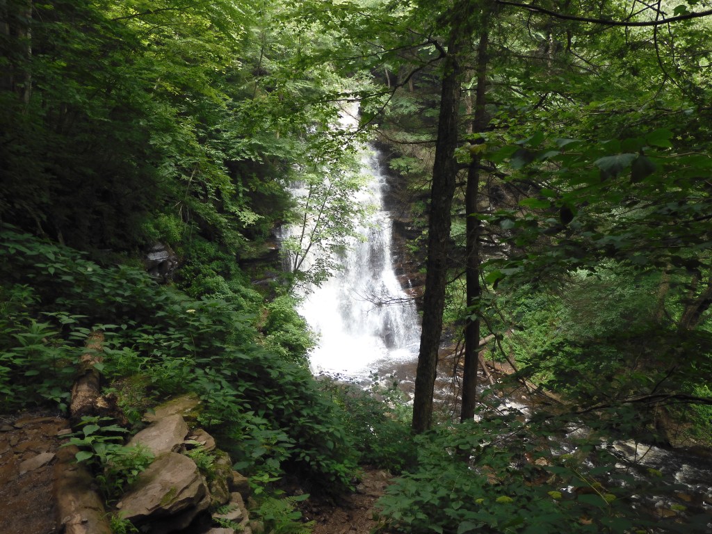
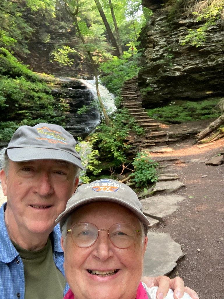
The waterfalls ranged in height from 10 to 90 feet, in all sorts of styles. The trail on the east side, Glen Leigh, brings you past eight water falls. We came across many younger people zipping along. However, most people seemed like us. Taking short, careful steps for a longer, slower, and safer hike. The park has had rain lately and the falls were running strong. (We talked to a number of people that had been here several times and found the falls today were running the best they had seen. No drought here.) That rain also meant that the trail was usually either muddy or wet. Where it was wet, it was also slippery rocks.

Kitchen Creek on far right, Creek one from Glen Leigh in center and Creek two from Ganoga Glen on left

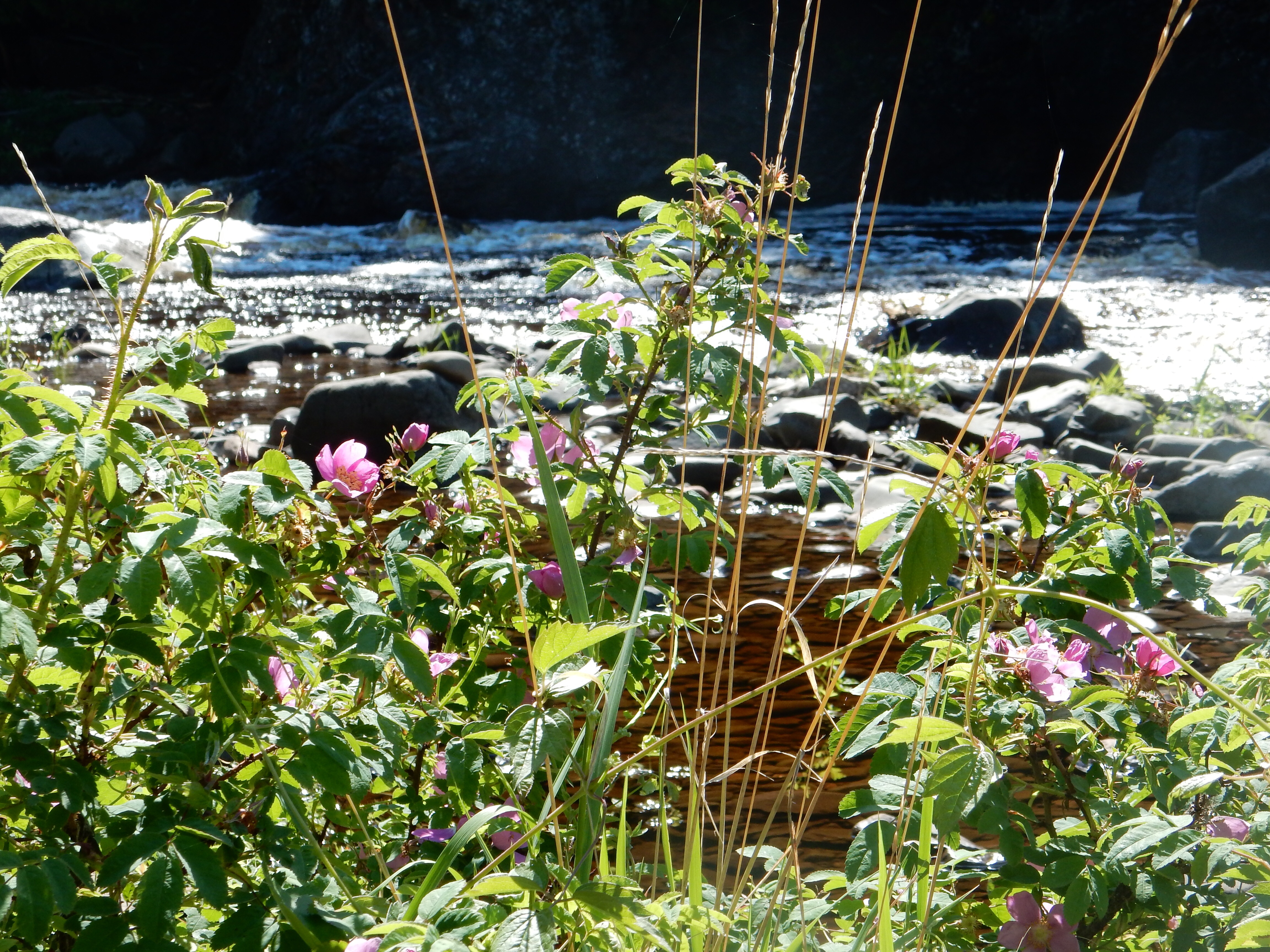
At the end of the east side, the creek meets a second creek at “Waters Meet” where they form the named Kitchen Creek. This provided the panoramic view of the three waterways. Going down Kitchen Creek would bring you to three more waterfalls. We passed on this option. By this time, we were already feeling the muscle ache. We had descended 600 feet, not counting the areas where the trail went up before continuing its downward path. Walking on slippery rocks, avoiding boulders and tree roots had put a strong dent in our stamina and underused muscles.

Various sections of the trails

The return journey up 600 feet along Ganoga Glen brought us to ten more waterfalls, including Ganoga Falls with a 94’ drop. Of course I have pictures of all 18, however I could not tell you which are which. I had thought of taking notes but thought that was too much effort. So, we just enjoyed the beauty of the water and the woods-trying to forget about the sore muscles. I have muscle aches where I never knew I had muscles.

Ganoga Falls bottom, another waterfall above

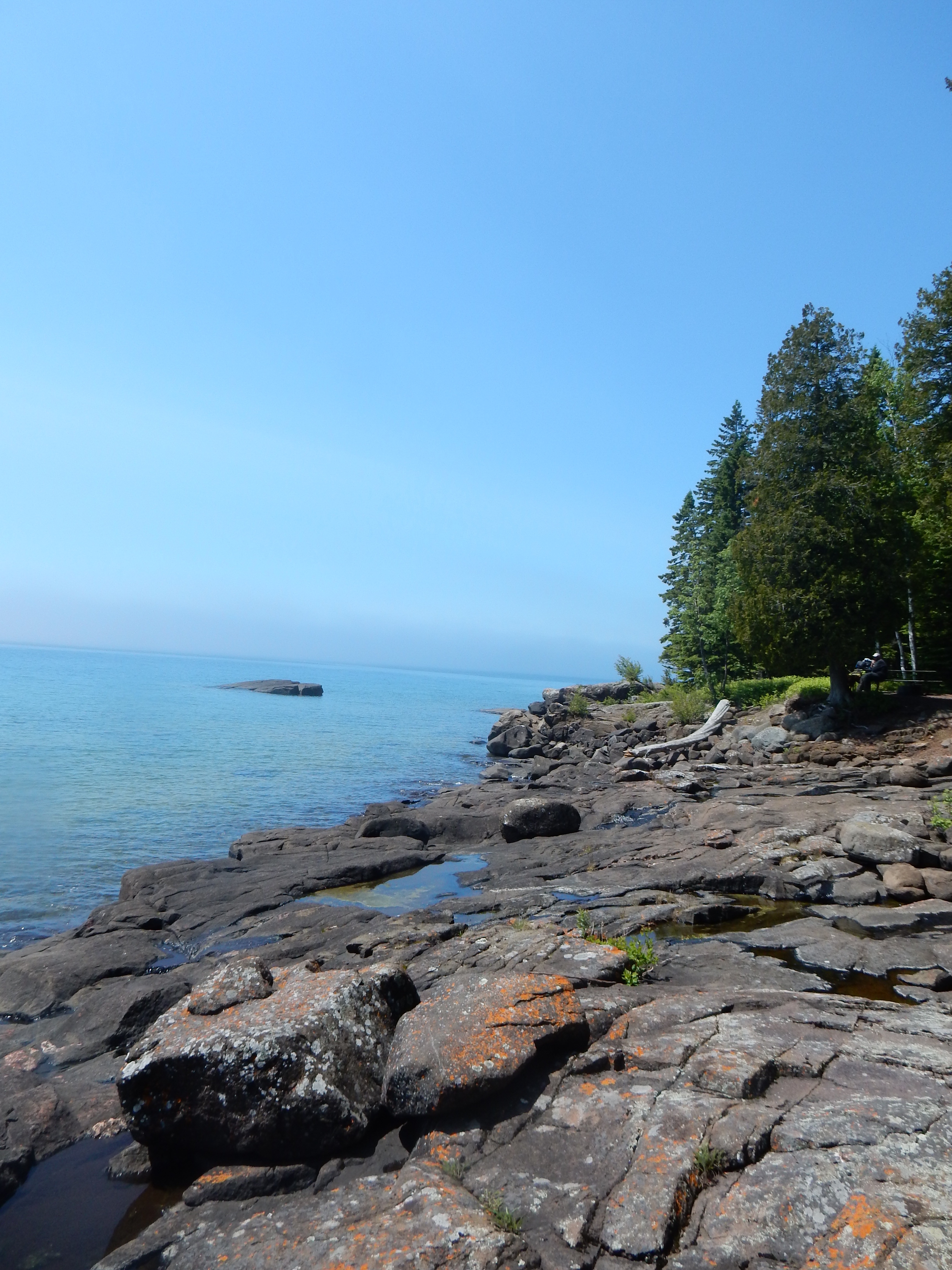
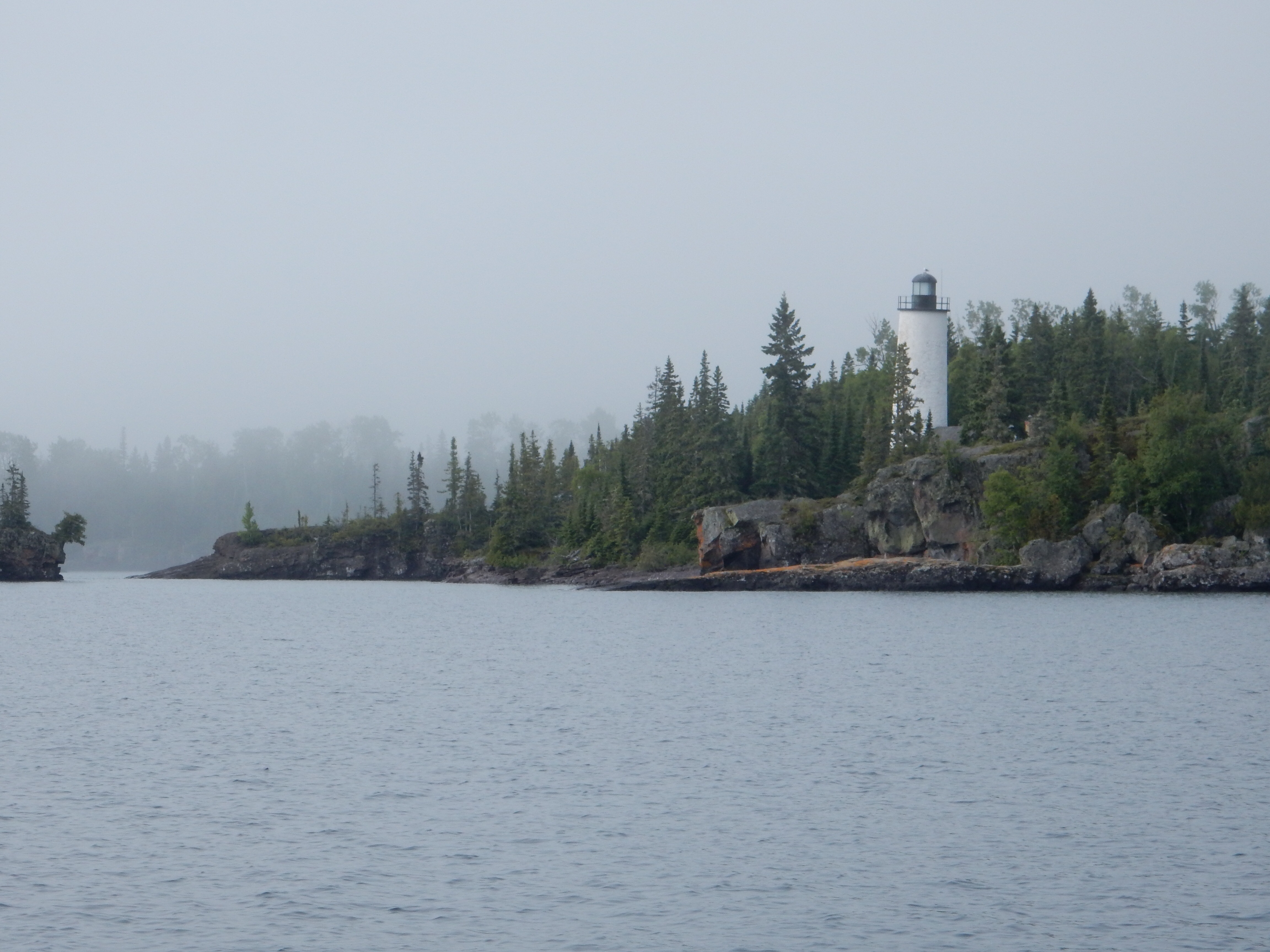
A snack revived our lagging enthusiasm but the hike that began at 10:30 wrapped up at 3:30 after the snack. There was no suggestion whatsoever that we drive to park two and attempt a second hike. Besides, with only one hike there is nothing to compete with the grandeur of 18 waterfalls visited in one afternoon. The closest we can recollect would be Silver Falls State Park in Oregon or the multitude of waterfalls along the North Shore of Lake Superior in MN and also along the Columbia River east of Portland Oregon. But 18 beautiful falls on a sweet summer day is a fantastic memory.

We wrapped up the day with a dinner out. Not an easy thing to accomplish these days. Location number one in a town 8 miles up the road was closed in contrast to the hours posted on its website. Location two was another eight miles away and said we needed a reservation, which we did not have. Location three was a winner, finally and thankfully since I was not sure how far we would have to drive to find another restaurant. (There are no nearby Subways, fast food chains, or grocery stores with a deli section.) Dinner might have been canned soup which we had brought with us just in case but after a long hike, we felt we deserved more than minestrone soup.

Chris in a typical location: rocks, dripping water, trees and greenery, wet trail, rushing water
May your days in the woods be as memorable as this one was for us

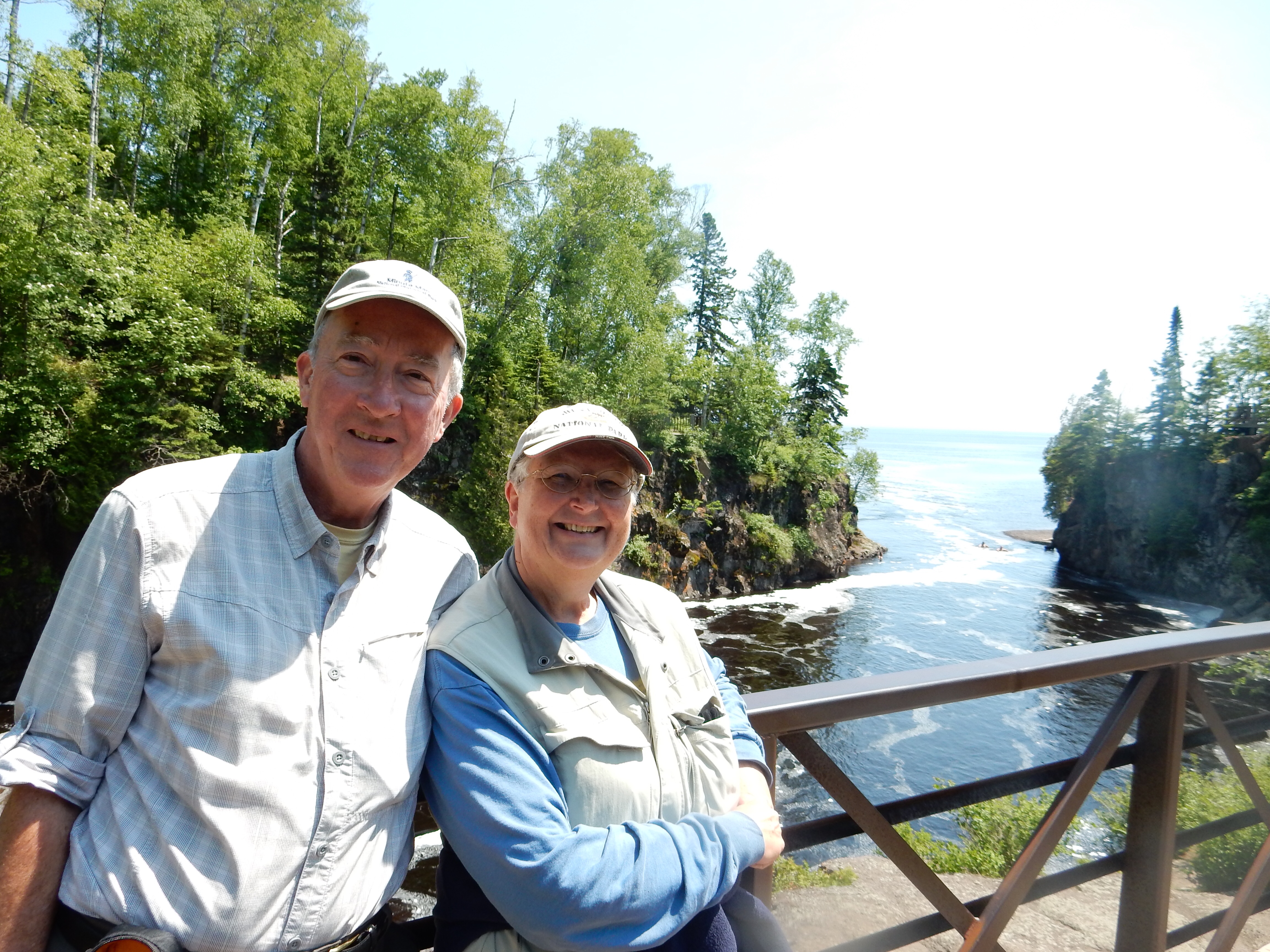
Ed Heimel, Chris Klejbuk in Muncy Valley, PA July 21, 2021

Categories: travel | Tags: , , | Leave a comment

2018 Trip 6: The Gunflint Trail: Dec. 2

Waves from Lake Superior crashing at Canal Park, Duluth

Duluth, MN. Sunday Dec. 2

As we peel off our cold weather gear, we can hear the sound of the waves from Lake Superior crashing on the rocks outside our hotel in Canal Park, Duluth MN. The focus for this trip is three nights lodging on the Gunflint Trail, a 50 some mile dead-end road, leading from Grand Marais MN on Lake Superior to the Boundary Waters Canoe Area Wilderness along the Canadian border. The Gunflint and other upcoming activities will be discussed in the next posts; today was an extra day tacked on to the trip to experience new places and to ease the total drive time of 5.5 hours from St. Paul to the Gunflint Lodge.

Saturday’s major snow storm was heavier south of the Twin Cities so the drive north from St. Paul to Duluth was generally on clear roads. We thought we would stop at Tobie’s world famous restaurant in Hinckley to have a pecan or cinnamon roll for a mid-way snack. Everyone else in the world had the same idea. We picked up a bag of peanut M & Ms (me) and a take-out coffee and donut holes (Chris) and kept going.

Chris and Ed at Amnicon State Park, WI. The park had a stand where you could place your camera or phone to take a selfie.

Our first stop was at Amnicon State Park east of Superior WI. Amnicon is an Ojibwa word meaning spawning ground, evidently relating to fishing. However the railroads and European settlers had other plans for the area; lumbering and quarrying. As the trees and quarries became less profitable, the land was given to the local town and then the state for a park.

Our visit came about because the park is located on top of the Douglas Fault, a geological upheaval running from Lake Superior to the Twin Cities that occurred about a half billion years ago. The combination of that fault, glacial action, and the force of erosion created a series of water falls. We were curious to see the falls, particularly in early winter with the combination of snow and water tinted brown by the natural tannic acid in the area.

We had the park to ourselves. The falls are close to the parking area; a hike to see them was a pleasant diversion. Although the sky was gray, the green fir trees, the white snow, and the yellow-brown tinted water made for a pleasing sight to behold. These falls are not dramatically high, more a pleasant series of rapids. Given the cold weather, the flowing river cuts a channel through ice-lined stream banks and carves little ripples through the ice for the river to run underneath.

Manitou Falls at Pattison State Park, WI

About a half hour to the southwest is a second Wisconsin state park, Pattison State Park. This park is home to Manitou Falls, the highest falls in Wisconsin at 135 feet. Recent rains and high waters have put some of the trails impassable, limiting the view of the falls. Nevertheless, the proximity of the two waterfalls to each other gave us an opportunity to view both with just a limited expenditure of time.

After Pattison State Park, we drove to Duluth and our Hampton Inn hotel in Canal Park. We were a little early for check in, so we spent about 30 minutes watching the waves from Lake Superior crash on the shoreline. An earlier storm this summer was particularly violent and erased most of the paved boardwalk running from the Canal Park area up to the Rose Gardens of Duluth. Today’s wind storm was not as violent, but the crashing waves made interesting sounds and views. It was particularly unusual for us to see the waters of Lake Superior coming on-shore as a deep brown color. Normally, Lake Superior water is extremely clear but evidently today’s wave action is stirring up sediment from the lake bottom as it hits the shoreline.

For dinner, we ate at an old-time Duluth establishment, the Pickwick restaurant. My family frequently ate here when we visited Duluth when I was a kid. The decor was lovely and warm, with a view overlooking the lake. We observed two freighters coming into the harbor and two freighters leaving the harbor during our dinner time. Observing four freighters in the space of 90 minutes was unusual; we don’t usually see that many in such a quick time span. The meal was excellent, their apple crisp was not as good as mine, but was very tasty and more than sufficient for two people. Their prime rib soup, which is a specialty on Sundays, is made with the unused prime rib from Friday and Saturday night specials. It was delicious.

Some scenes from Bentleyville

We finished off our evening with an hour and a half to two hours walking through Bentleyville. Bentleyville is a 15-year-old attraction, started by one man in his backyard. Now it is a 40 night free attraction of millions of Christmas lights located in a Duluth waterfront park visited by over 300,000 people per year. Besides giving away free cookies, hot chocolate, marshmallows to roast, and popcorn, any kid under 10 gets a free stocking hat.

The lights seem to go on forever, with theme areas of rows of Christmas trees made of lights, an homage to armed forces, a Thomas the Train area, 12 days of Christmas, etc. The crowds are large and friendly; no talk of politics to spoil the ambience. This was our first time here and was a major reason to take this additional day to get to the Gunflint Trail.

Ed and Chris Dec. 2

Categories: road trip, travel | Tags: , , , , , , , | Leave a comment

2015 Trip 3, Isle Royale, June 27

Little Marais, MN June 27

Tettegouche State Park was our primary destination today. A year ago they completed a brand new and expanded visitor center and rest stop on MN Highway 61. The large and attractive park name sign has yet to be installed; we normally take a picture of each park or location sign as a reminder of where pictures were taken. Today I took a picture of the glass door with the park name on it.

Baptism River at Tettagouche State Park in MN

Baptism River at Tettagouche State Park in MN

Tettegouche State Park is a combination of the previous Baptism River State Park (6000 acres of land) and an additional 3400 acres of land which had previously been the largest lumbering site on the North Shore and then a gentlemen’s club when the pine forests were all cut down. The name Tettegouche originated in the New Brunswick Canada origins of the owners of the lumber company. They replicated many of the French and Algonquin names of that area.

The hike along the cascades of the Baptism River

The hike along the cascades of the Baptism River

Along the Baptism River

Along the Baptism River

We hiked along the cascades trail. It was a glorious hike; birds were chirping, you could hear the sounds of the river just below, wildflowers continued to be blooming, and there was a slight breeze to complement the 70 degree temperature. Oh, I suppose the undergrowth along the trail could have been cut back a bit but that just added to the ambience.

one of many colorful spots along the trail

one of many colorful spots along the trail

We could have hiked more trails but we had decided to explore the area. In our travels up to the Finland Co-op Store, we had driven past the Finland Heritage Site. It was a cluster of buildings along the side of the road in the middle of nowhere. It seemed to be one of those little curiosities that we tend to check out, so we had decided to visit it after Tettegouche.

The Heritage Site is open Thursday through Sunday from 11-4 during the summer months. A couple of retired RVers from Minneapolis are the volunteer staff. The wife took us around the site. It was originally the homestead of a bachelor Finnish immigrant farmer who, when in his eighties, just disappeared one winter day, breakfast sitting on the table, and was never seen again.

Finnish bachelor farmer homestead

Finnish bachelor farmer homestead

When the property eventually reverted to the county due to non-payment of taxes, volunteers formed an organization to recognize the Finnish immigrant heritage of the area. The volunteers exhibited plenty of “Sisu”, a Finnish word meaning plenty of guts and determination under adversity.

The bachelor farmer’s house and property were the first buildings but they have added a one-room schoolhouse, a blacksmith shop, the state’s first forestry field building, a museum with informative displays, and a stage and food stands for the cultural events held there during the year. The town of Finland is still heavily Finnish, with several generations of families of the original immigrants still living here. The site is a pleasant means to spend a little time.

Wall mural on the Finland co-op

Wall mural on the Finland co-op

Lunch was at Our Place, a typical small town bar/restaurant with a northwoods ambience. Prices were a lot less expensive than the cities and we each had their pork bar-b-cue and potato salad for $6.50 each. A raspberry and a rhubarb shortcake for $2.50 each completed the meal. Everything was quite tasty.

We left and headed out to find George Crosby Manitou state park. This park is a wilderness park, meant for backpacking only. Their literature suggests day hikers use other parks. We thought we would at least check it out.

"St. Urho"

“St. Urho”

On our way to the park, we stopped and took a picture of the wood carving of St. Urho, patron saint of Finland. What, you never heard of St. Urho? Well, that is not unusual. St. Urho is actually a fiction, created by a Minnesotan in reaction to constant comments about St. Patrick of Ireland. Finland is over 80% Lutheran and does not recognize saints. But, they celebrate St. Urho around here just before St. Patrick’s Day.

Lupine near George Crosby Manitou State Park

Lupine near George Crosby Manitou State Park

Along the roads in this area, we have just seen an explosion of lupine, particularly purple in color. We thought maybe there was a concerted effort to plant them as an identifying mark of the area. But, no, it seems the lupine tend to grow in clusters when their seeds are disbursed. A few people locally seem to be getting tired of them.

As we were driving to Manitou State Park, the skies darkened and there was lightning off in the distance. The asphalt road ended and became gravel. Then the rains came. We reached the park and agreed we had no need to go hiking in the wilderness under these conditions. The Superior Hiking Trail runs through this park and we had talked to several hikers just minutes before the rains who still had 4-6 miles left to hike today.

Gravel roads were our companion for most of the ride back to Lakeside Cottages in Little Marais. A nap was our reward for our activities.

Before church, we had dinner again at the Northwoods Family Grille in Silver Bay. Good food; not artisanal, not organic, not small plates, not locally sourced, just good food in the old style. The bowl of chili was large enough to feed a family. Reminded me of my parents’ restaurant back in the 1960s.

We spent our last night at the “Nest”, our small cabin at Lakeside Cabins and Estates. The unit is comfy, plenty of hot water; they ingeniously arranged the space so there is room for a TV, small refrigerator, table, chair, kitchen dishes, etc.

Ed and Chris June 28

Categories: road trip, travel | Tags: , , , , , , , , | Leave a comment

2015 Trip 3, Isle Royale, June 26

Little Marais, MN June 26

Not to beat a dead horse, but, fog is an ever-present condition in June along the North Shore. Recognize that our definition of North Shore is pretty much at the shore itself of Lake Superior. I would guess that the MN marketing definition includes many points further inland along this 170 mile stretch of Lake Superior from Duluth to the U.S.-Canada border.

Cascade River Falls, North Shore of MN

Cascade River Falls, North Shore of MN

We began the day’s adventure at Cascade River State Park, near Lutsen MN, maybe 15 miles west of Grand Marais. I have to comment here on directions. The North Shore is an angle of land that generally is in a northeast to southwest direction. So, while you think of the U.S. and Canada, you think of driving north and south; in most cases here you are going more easterly. Given the road twists and turns, the actual direction at any one time could be just about any direction on the compass.

Hiking to Lookout Mountain

Hiking to Lookout Mountain

Back to Cascade River State Park. The park is 2865 acres of land stretching from the Lake Superior shore up into the Sawtooth mountains. The shore line is not sandy, it is covered with rocks and pebbles, including the Lake Superior agate. The geology of this area includes lava flows, sedimentary rock laid down by ancient oceans, glacial action and other geologic and erosive actions. The Lake Superior agate, the state gemstone, is noted for its rich red, orange and yellow coloring, created by the iron in this area. Agate hunting among the rocks is a popular pastime for visitors, much like shell hunting along ocean beaches.

View of Lake Superior from the trail

View of Lake Superior from the trail

Butterflies along the trail

Butterflies along the trail

Our focus is more on tall rocks. Our first hike takes us on a 3.5 mile, 600 foot elevation gain trail to Lookout Mountain in the Sawtooth Mountains that create the spine along Lake Superior. The trail winds through birch, pine, fir and spruce trees with numerous wildflowers. The trail path varies from rocks, tree roots, and muddy areas-although not as muddy as Isle Royale. Mosquitoes are present but nowhere near as plentiful nor as hungry as the ones at Isle Royale. For us, the hike is doable and great exercise. The calves may be a little sore tomorrow though.

View from Lookout Mountain

View from Lookout Mountain

Ed on the trail heading back down

Ed on the trail heading back down

At the top of Lookout Mountain, the view is more of the trees and valleys of the Sawtooth Mountains. You can see Lake Superior down below but at an angle and the surface of the water merges into the skyline. Early on in the hike, we pass over and along the Cascade River. Here the falls and rapids are once again running fast and easy on the eyes.

Fog moves in while we eat our granola bar

Fog moves in while we eat our granola bar

Granola bar done, fog moves out

Granola bar done, fog moves out

When we return from Lookout Mountain, we follow the trail along the river to view more falls and rapids before heading to the shoreline for a granola bar to fortify ourselves prior to the next park and hike. Here we meet the fog again, and the combination of fog, cold lake water, and shade along the shore produce a rapid drop in temperature. The fog comes and moves away, just in the time it takes to eat a granola bar.

Our next park is Temperance River State Park, between Tofte and Schroeder, MN. The Temperance River is named due to the fact that there is no (sand) bar at its mouth. The park land is combined with the Cross River State Wayside to create 2700 acres of rock, forest and shoreline with both the Cross River and Temperance River to view and walk along. We skip the Cross River with its falls right at the highway and head for the Temperance River.

Temperance River

Temperance River

The Temperance River and its gorge create numerous waterfalls and potholes-those deep holes created by swirling waters cutting through the rock. Potholes aren’t rare but are not common either. For instance, one can view them along the St. Croix River at St. Croix Falls or along the Presque Isle River in the Upper Peninsula of Michigan.

Temperance River before the rapids

Temperance River before the rapids

One shot of many of wildflowers along the trails

One shot of many of wildflowers along the trails

This hike is a popular one, lots of people and families. At many of the falls, Highway 61 and the parks provide for parking opportunities and easy access. The early part of the trail is steep and we observe people struggling with it. The views and rushing water make the effort worthwhile. We hike the river on both sides of Highway 61 since there are falls and rapids on both. Down near the shore, some teenage boys are swimming; they stay pretty much in the current of the river, the lake water is too cold.

Ed and Chris as the Temperance River flows into Lake Superior

Ed and Chris as the Temperance River flows into Lake Superior

Chris hiking down towards Lake Superior

Chris hiking down towards Lake Superior

Chris takes the picture of a couple from the Cities. He is planning, but may not, race in the 99er Bike Race at Lutsen, co-sponsored with LifeTime Fitness. This is 1500 trail bike riders traversing rocks and ridges for 99 miles in one day (although there are options for 19 and 39 miles also) through the forests of the Sawtooth Mountains. After talking with them, we start to notice the cars heading north with bicycles attached. Stopping for a snack of cheese quesadillas afterwards, we meet two guys from Madison WI who will be making the ride.

Our lodging for the next two nights is a small cabin between the highway and the shore in Little Marais. Little Marais is not even a town, just a “community” nestled along the highway. Lakeside Cabins and Colonial Estates has lakeshore cabins and log homes on the bluffs. We have a teeny, tiny cabin that has been renovated in a pleasant log cabin interior finish. This is good because the shell of the building dates back to the 1880s when it was the homestead of the Fenstads, one of the Finnish settlers in this region.

We drive up to Finland (Finnish settlers in the area, got it?) and purchase some groceries from the 100 year old cooperative grocery/hardware store. We drive down to Beaver Bay, 15 miles west (south) and have dinner at Lemon Wolf Cafe. We share the pecan chicken dinner-once again, North Shore eateries have produced great meals.

All in all, a pleasant day on the North Shore.

Ed and Chris June 27

Categories: road trip, travel | Tags: , , , , , , , | Leave a comment

2015 Trip 3, Isle Royale, June 25

2015 Trip 3, Isle Royale, June 25

Fog in June on Lake Superior seems to be a constant. It comes, it goes, it re-forms and moves around. The cold water evidently interacts with the warmer air temperatures and, voila, fog. We have watched it from our cabin, from various hikes, from the shores of Rock Harbor, and from the deck of Voyageur II.

Rock Harbor Lighthouse in Lake Superior by Isle Royale

Rock Harbor Lighthouse in Lake Superior by Isle Royale

Fog banks moving around the islands

Fog banks moving around the islands

Today was no exception. All night long the fog was heavy outside our cabin. The Voyageur II left at 9 AM EDT and the harbor was socked in. As we traveled around the island, picking up stray backpackers from small, isolated docks, the fog eventually dissipated; the views of the rocks and forests of Isle Royale are much more spectacular with blue skies and bluer water. Then, as we arrive in Grand Marais this evening, the fog is present again as a light mist covering the ground.

Malone Bay- a pick up point for backpackers

Malone Bay- a pick up point for backpackers

Several of the people returning with us are like old friends; the couple from Minocqua, the Montana couple that ran in Grandma’s Marathon, the Iowa party getting on at Malone Bay after backpacking. We joke about the boat ride and hope today’s return trip will be smoother. It is. But the length of the journey has only increased. The pick up of backpackers from remote locations requires slower speeds in narrow channels and extra time to go in and out of pick-up points. All in all, we enjoy the smoother trip and better scenery. We congratulate ourselves for tackling another adventure.

Captain Ben spends some time with us chatting. We discover the boat was built in 1972, originally planned for commercial fishing. The back section, the noisier one that we have avoided, was to hold fish. The original owner died and the ferry people bought it and converted it. Both Ben and Kirk have been doing this for four years and sleep on board. We have smelled their lunches on each trip as Kirk makes something in the galley for them. Evidently, sometimes they use a Crockpot and the smell drives the travelers nuts.

On our way out of Windigo, going through Washington Harbor, Voyageur II stops at the site of the wreck of the steamship America which went down in 1928. The America was the mail, freight, and passenger delivery service to Isle Royale and much of the North Shore. In 1928, the 2nd in charge ran the boat aground, all passengers got off safely. The new Highway 61 in Minnesota was making the ship less profitable and the ship was left in the water to break up further rather than salvage it. We were able to see portions of the wreckage still under the water.

More than 25 ships have sunk around Isle Royale over the years. There are still four lighthouses around the island. We saw all of them and heard lots of foghorns. Isle Royale National Park does extend out into Lake Superior so park rangers have to patrol the waterways also.

You probably know that Lake Superior is the largest freshwater lake in the world by surface area and the third largest in the world by volume. We also wrote about Lake Superior in two previous trips: 2013 Trip 7, Sept. 7-12 (the Upper Peninsula of Michigan) and 2014 Trip 6,Sept. 8-11 (Ontario from Thunder Bay to Sault Ste Marie).

Skies darkening as we approach Grand Portage

Skies darkening as we approach Grand Portage

We arrive at Grand Portage and are able to leave (after getting our luggage and paying the parking fee) around 3:45 PM CDT. The skies in front of us are getting ominously dark. Our plan is to drive the short distance to the High Falls of the Pigeon River at Grand Portage State Park. Doing this hike now will save us 1.5 hours tomorrow of driving time by having to back track from Grand Marais.

The High Falls are notable for several reasons. First, they are the tallest falls in Minnesota at 120 feet and with recent rains, should be impressive. Second, the falls and Pigeon River are on the boundary of the U.S. and Canada. One can view the falls from either country.

High Falls on the Pigeon RIver at Grand Portage State Park

High Falls on the Pigeon RIver at Grand Portage State Park

Third, the falls created an impediment for Indians and fur traders who traveled by canoe during the days of the fur trade. This required a nine mile portage around the falls. This “Grand Portage” lead to the creation of a trading post for decades; now it is memorialized in the Grand Portage National Monument. We have been here before and will not go into its history and significance in this post.

Fourth, the park land is owned by the Grand Portage Band of Chippewa and is leased by them to the state for use as a state park.

We reach the visitor center and hike at double-time speed to reach the falls before any rains come-and before the park closes. Success is ours; the falls are running fast and we manage to avoid rain.

Lodging is in Grand Marais MN, an upscale town along the North Shore. We are at the Best Western with great Lake Superior views. But first we have dinner at The Pie Place Cafe in downtown Grand Marais. The meatloaf dinner and the Black Bear Blueberry Salad are fantastic; almost as great as the Blueberry/Sour Cherry pie and the Raspberry/Rhubarb pie.

Ed and Chris June 26

Categories: road trip, travel | Tags: , , , , , , , , | Leave a comment

Blog at WordPress.com.