
East Wenatchee, WA July 29
Chris proposed it. Chris completed it. Chris did not complain about it.
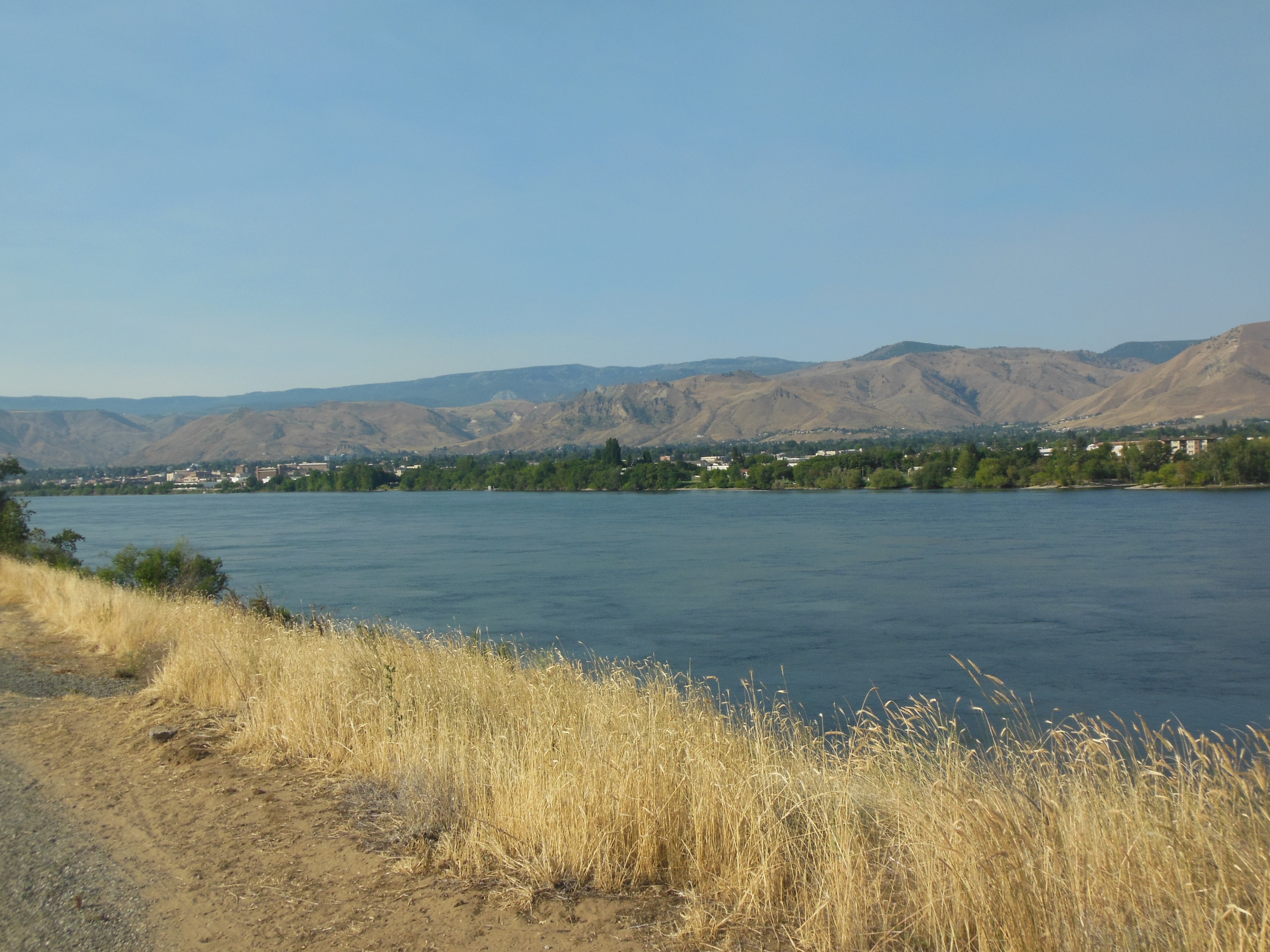
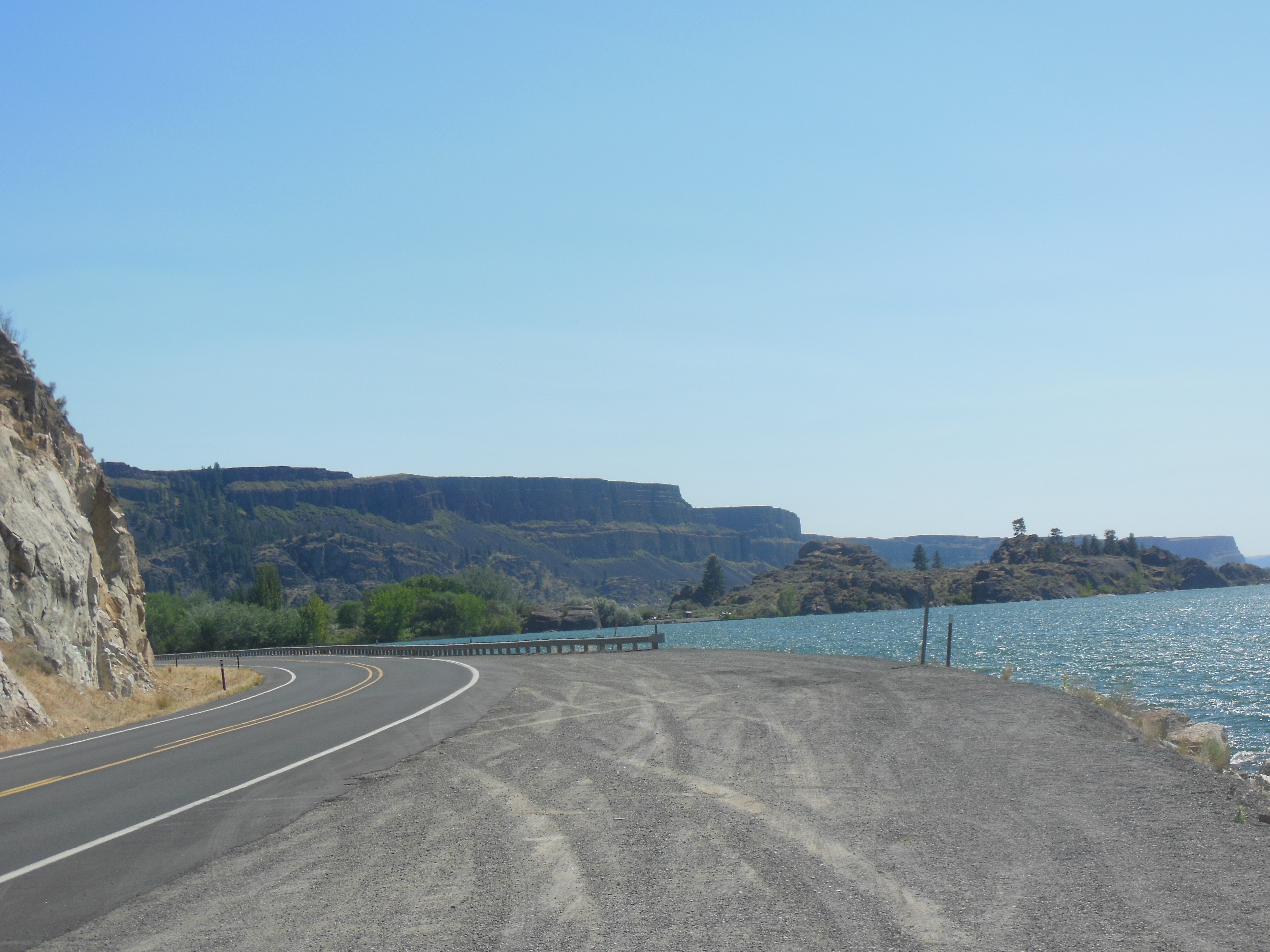
Portion of Apple Capital trail along semi-arid grass land
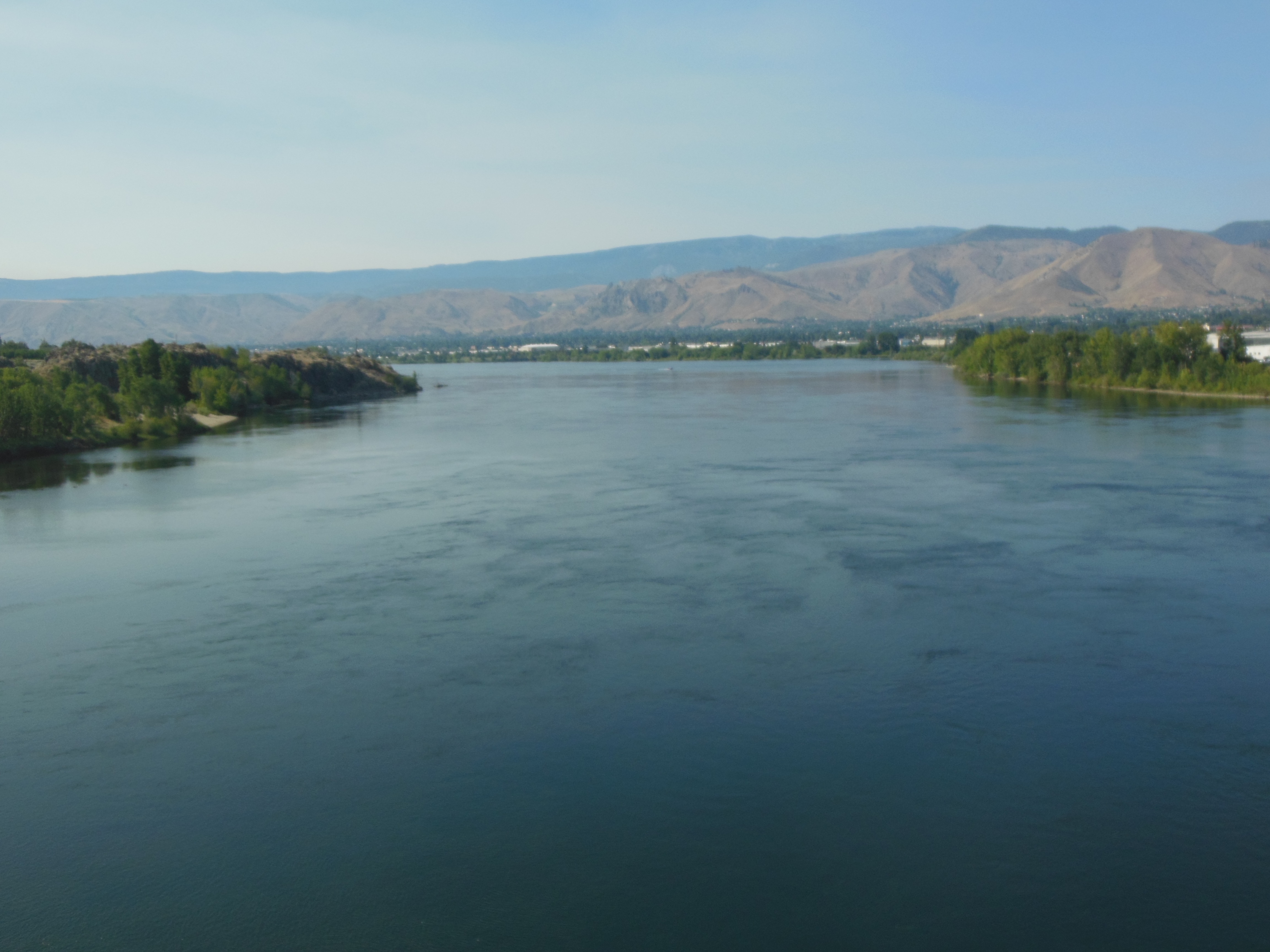
Crossing over the Columbia RIver on the trail
IT was the 11 mile Apple Capital Recreation walk, a loop along both sides of the Columbia River encompassing a wildlife refuge, urban landscaped walkways, and semi-arid grass lands connecting East Wenatchee with Wenatchee.
We started at 8:30 am with temps in the high 60s and finished at 2 pm with temps in the high 80s. The cooling breeze was gone within an hour or two.
A few stops were included. A PBJ sandwich for lunch stop. A detour, mileage over and above the 11 miles, into downtown Wenatchee for a milkshake and malt at the Owl Fountain Shop, and finally a stop at the new indoor market, Pybus Market.
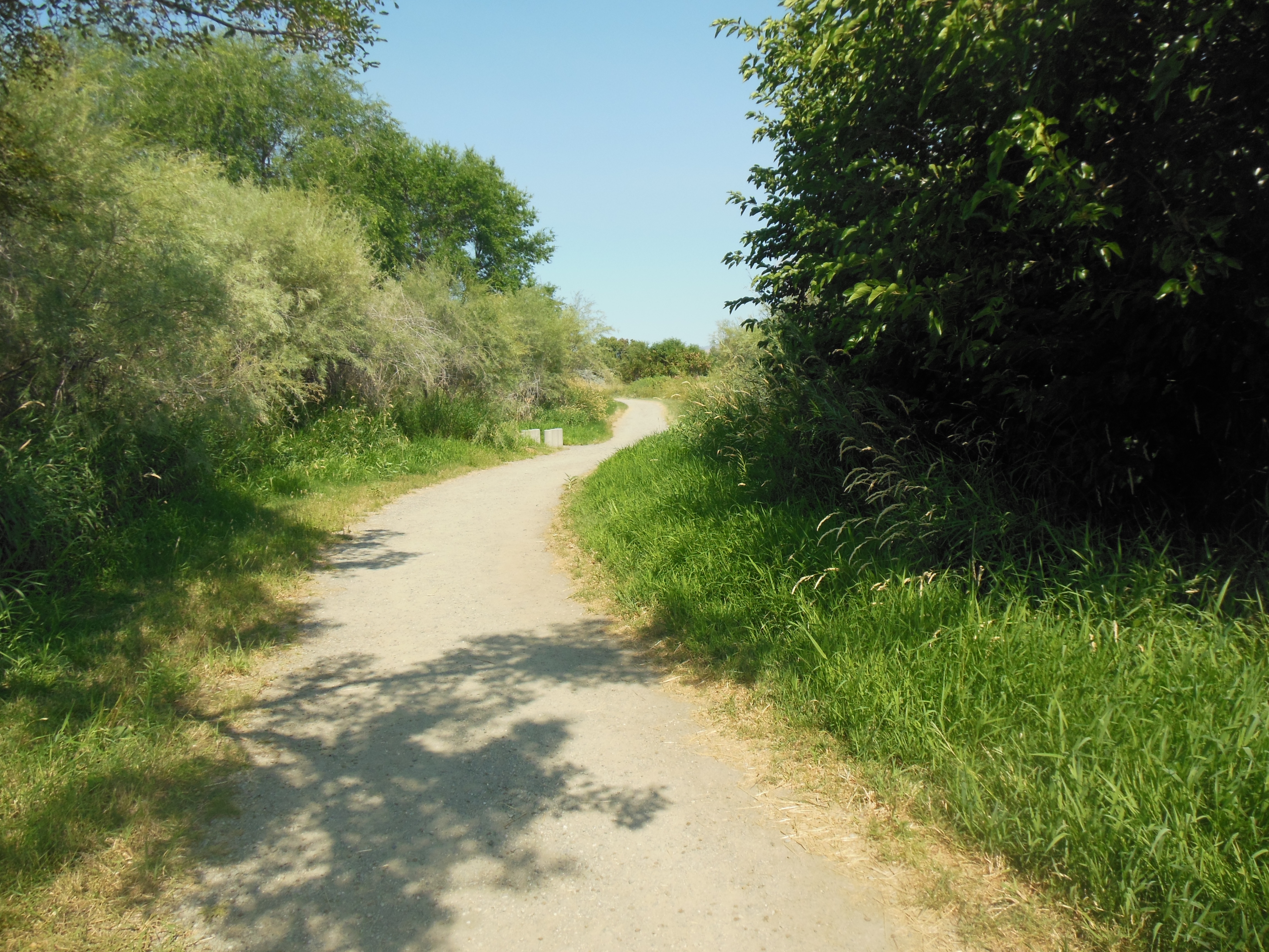
Trail through wildlife refuge

Sculpture along urban portion of trail
The Owl Fountain Shop was started in 1898. The shake and malt were large enough to fill your old style fountain glass three times. No wonder I like malts more than a dish of ice cream.
The trail was well used by hikers and bikers. Not too many Spandex bikers, mainly recreational bikers. A large percentage used the trail for only shorter segments, except for bikers.

Landscaped urban portion of trail
As you might expect, we were pretty proud of ourselves. For some of you, an 11 mile hike is minor but it still constitutes a major effort for us. It helped us that we did not have to worry about bears on this trail.
Well a good hike like that deserves a nap afterwards and we did not deny ourselves. For dinner, we drove to Leavenworth, WA, a town, like many here, founded as a lumber town and served by the Great Northern Railway. Part of the effort made by the Great Northern in constructing its line to the West Coast involved a major pass west of Wenatchee and Leavenworth, the Stevens Pass.
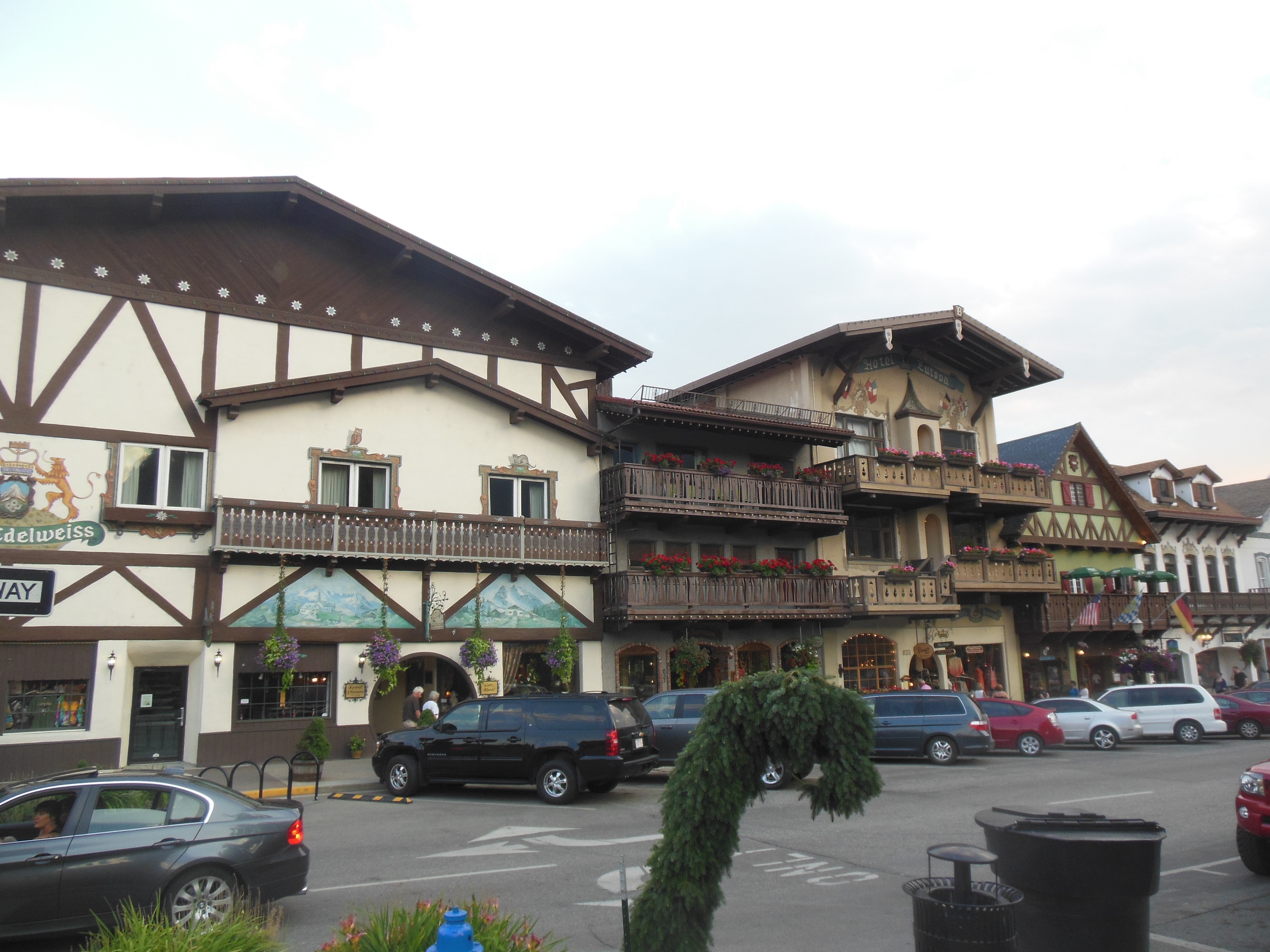
Leavenworth WA

Leavenworth, WA
The line was completed in 1893 and was considered an engineering marvel for its use of bridges and tunnels to effectively cross the Cascades. The Stevens Pass line was later replaced with a lower elevation line and is now the bed on which Highway 2 that we will be taking tomorrow to Vancouver is built. The pass has been the site for several deadly avalanches killing over 100 in the early 1900s when two trains were pushed off the track and killing three skiers just last year.
Leavenworth was a switching yard for the Great Northern and later the Burlington Northern. In the mid 1950s BN moved its switching yard to Wenatchee where trains were prepared for the trip over the mountains. Leavenworth began to deteriorate. The local government decided to try to increase tourism by re-making the town into a Bavarian themed community. It worked and is a pleasure to visit. We stopped at a German restaurant and had German food listening to live accordion music.
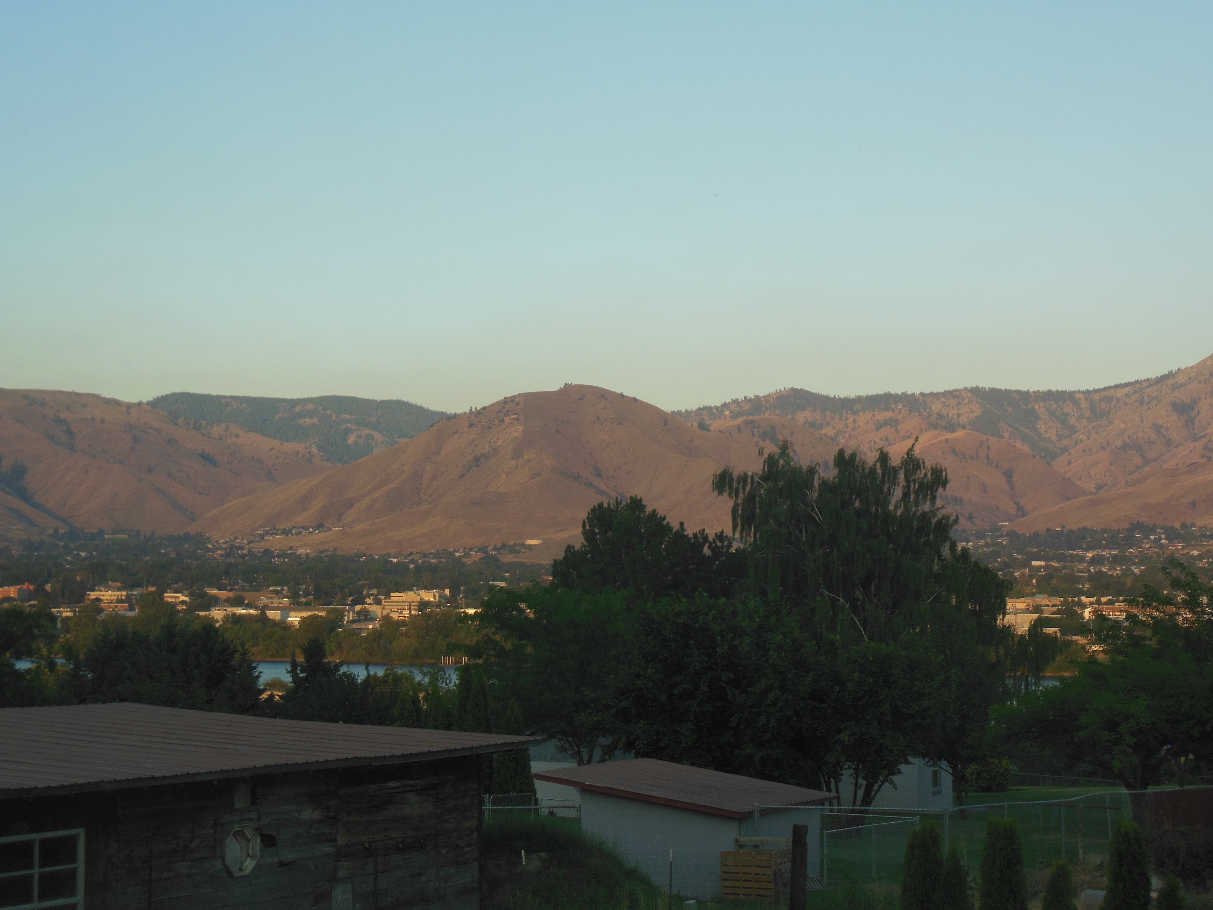
View from patio Sunday night

View from patio Monday night with increased smoke from fire
On the way home, we noticed a major increase in smoke. There had been reports of a forest fire south of Wenatchee. Evidently it has become much worse. We are including a picture from last night and one of tonight. Tonight’s you can not see the hills and mountains across the river. Glad we were able to take our hike when the air was breathable.
Ed and Chris July 29 10:30 pm


Recent Comments