
Port St. Joe, Friday Feb. 13
Friday the 13th finds us in a small town of 3,500 people on the “Forgotten Coast” of Florida. This can be visualized as the peninsula portion of Florida, east of the panhandle and north and west of everything else. It is the home of small towns, fishing fleets, and numerous protected islands and beaches. We will be here for two nights before moving to St. Marks, at the eastern end of the Forgotten Coast.
Before we discuss today, one further comment about Topsail. When we checked out, we talked with a ranger who was more knowledgeable about the history of Topsail. Evidently, the area was primarily owned by the St. Joe Paper Company and there was a separate, smaller piece of land that was the RV park, privately owned. The paper company sold off its chunk of land to a developer who planned to develop the usual beach shore area. The developer had started moving earth and had roads planned but went belly up. The state moved in to purchase and protect the land. Part of the land that St. Joe Paper sold to the developer included the beach access used by the RV park. With the sale of the developer’s land to the state, the RV park people lost their beach access and sold the RV park land to the state also.
Anyway, we headed out but made a brief stop at the Donut Hole Bakery Cafe. This is a local landmark frequently mentioned by the people we ran across during our stay at Topsail. The donuts were excellent. The drive to Port St. Joe was uneventful, mainly American strip development with some ocean front development around Panama City. There is another military base and several small rivers to cross.
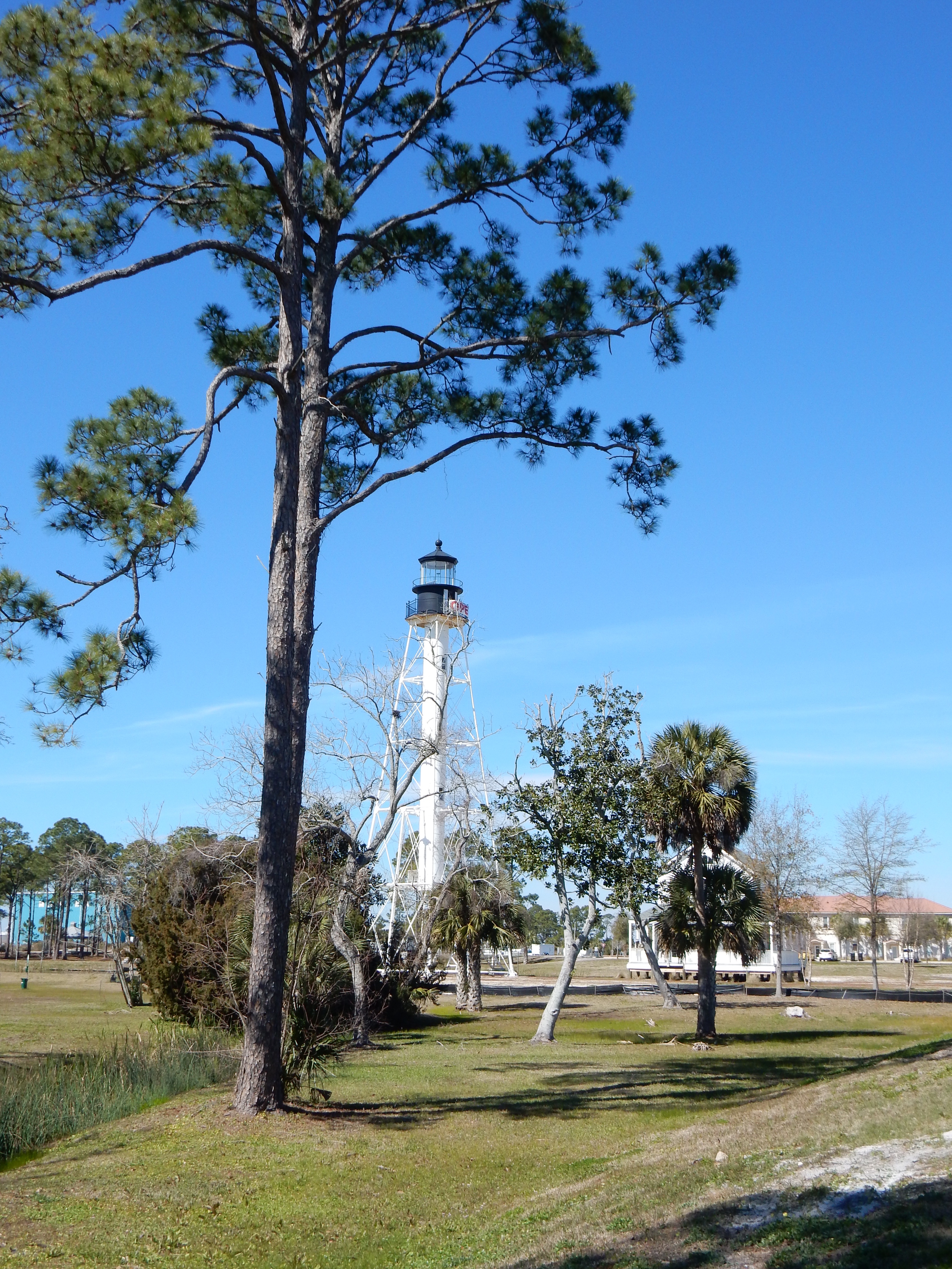
Cape San Blas Lighthouse
We are now in Port St. Joe and have moved into the eastern time zone. The time zone line is weirdly drawn; in fact, Gulf County in which St. Joe is located, is but one of four counties in the U.S. which has two time zones in it. We stopped to look at the Cape San Blas lighthouse. This third lighthouse at this location (two previous ones were destroyed by shoreline erosion.) was built in 1885. It was deactivated in 1996 and moved over onto the land side for preservation purposes. We chose not to pay the $5 each to see another lighthouse.

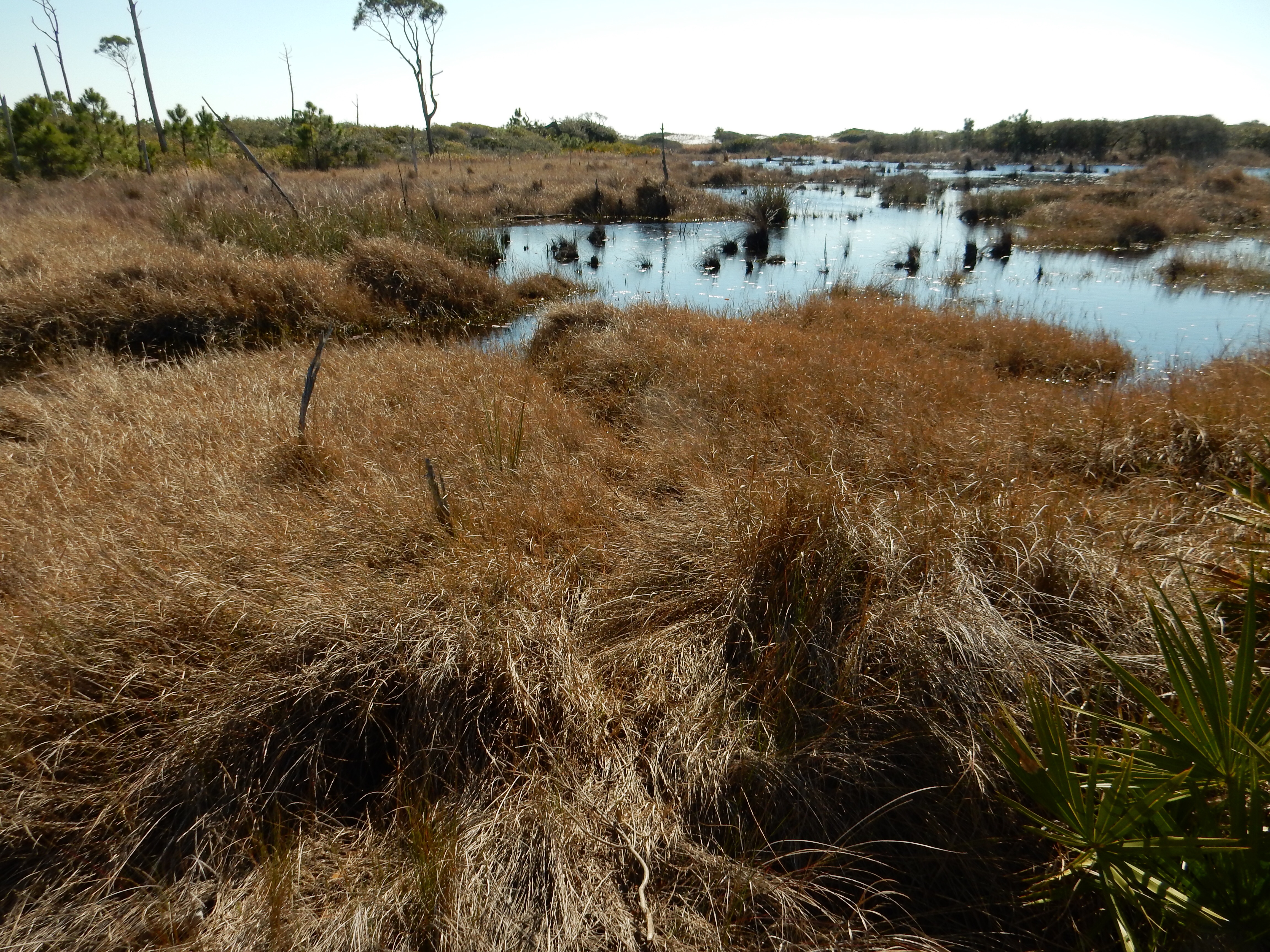
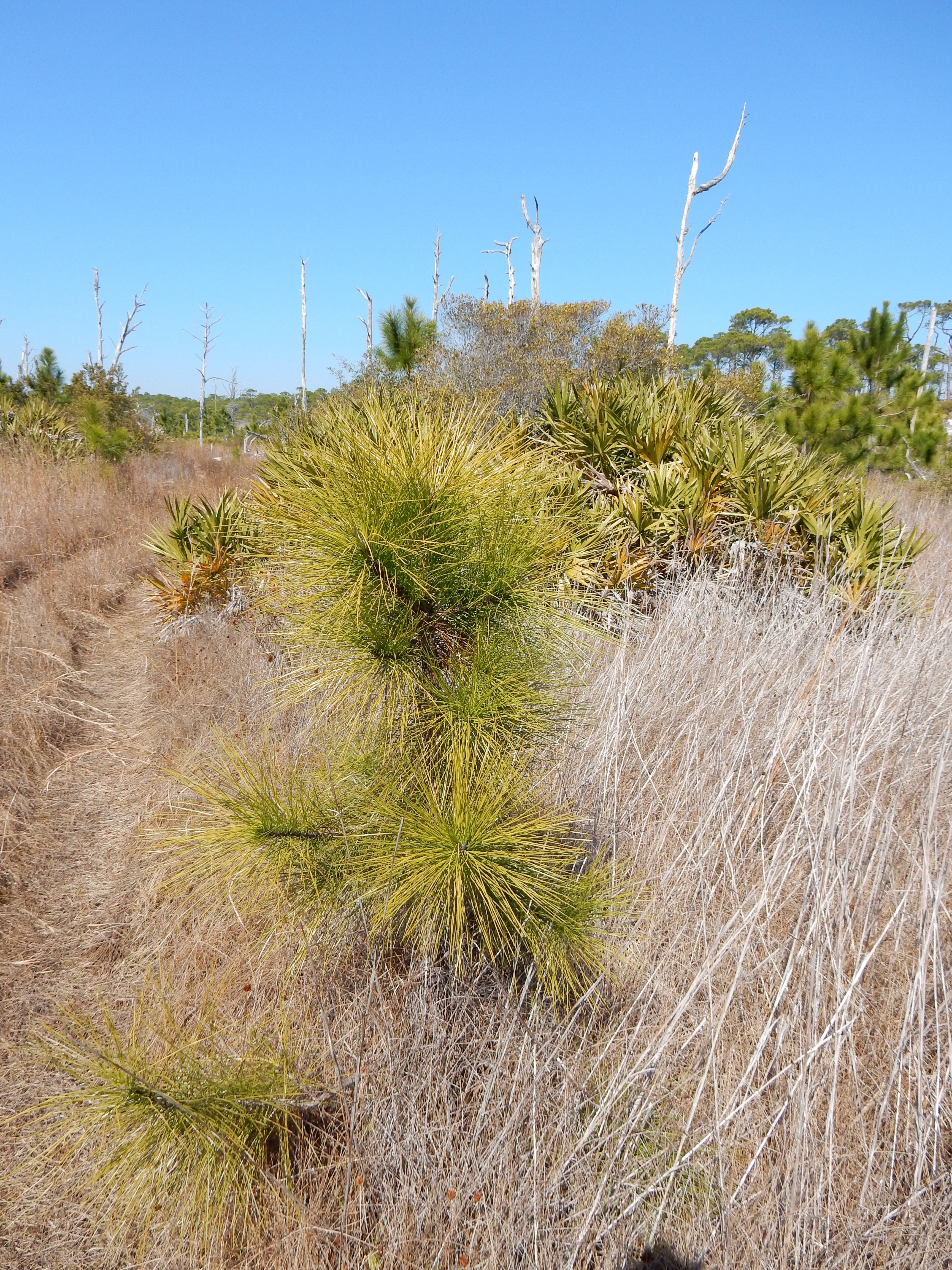
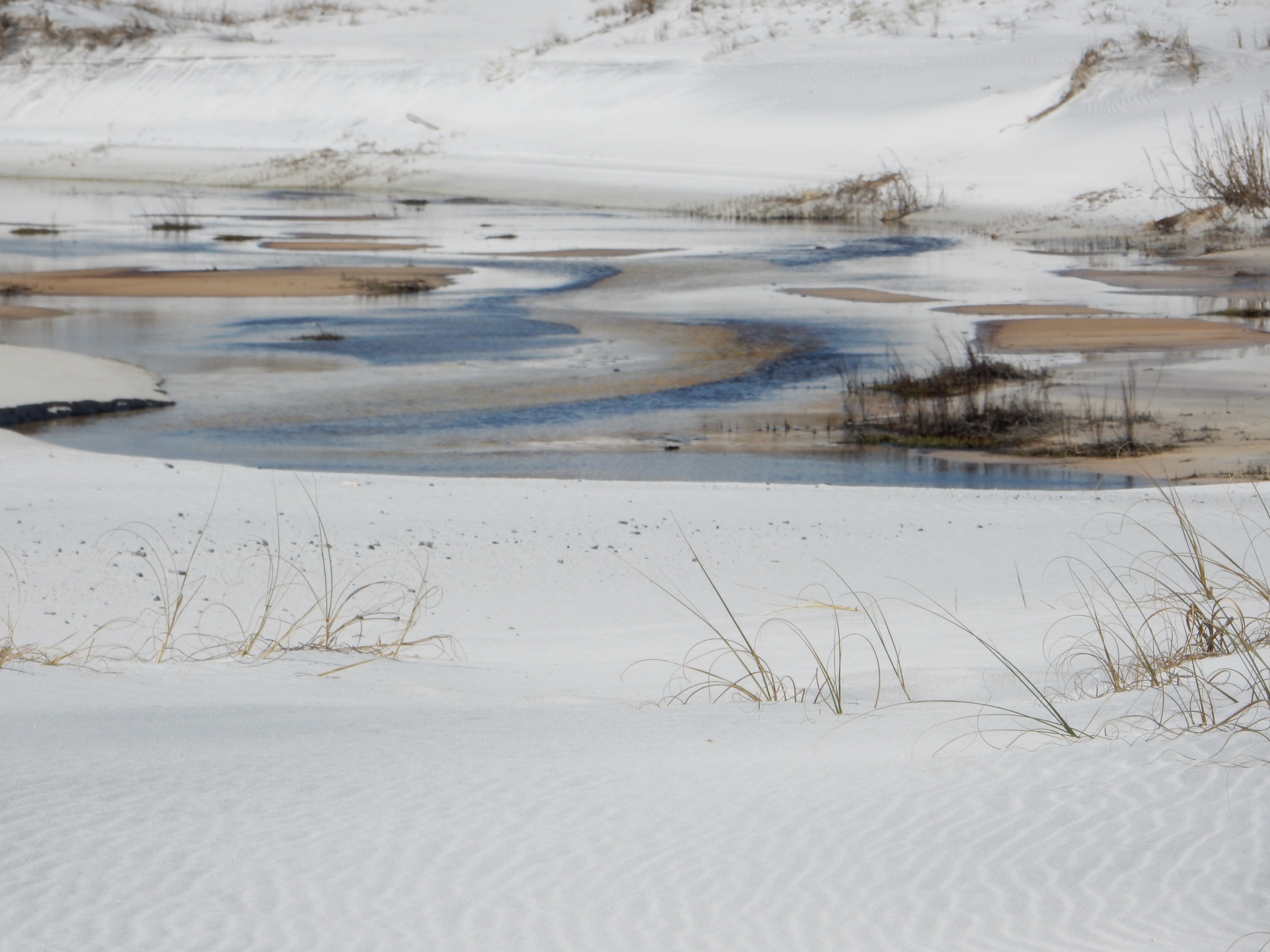
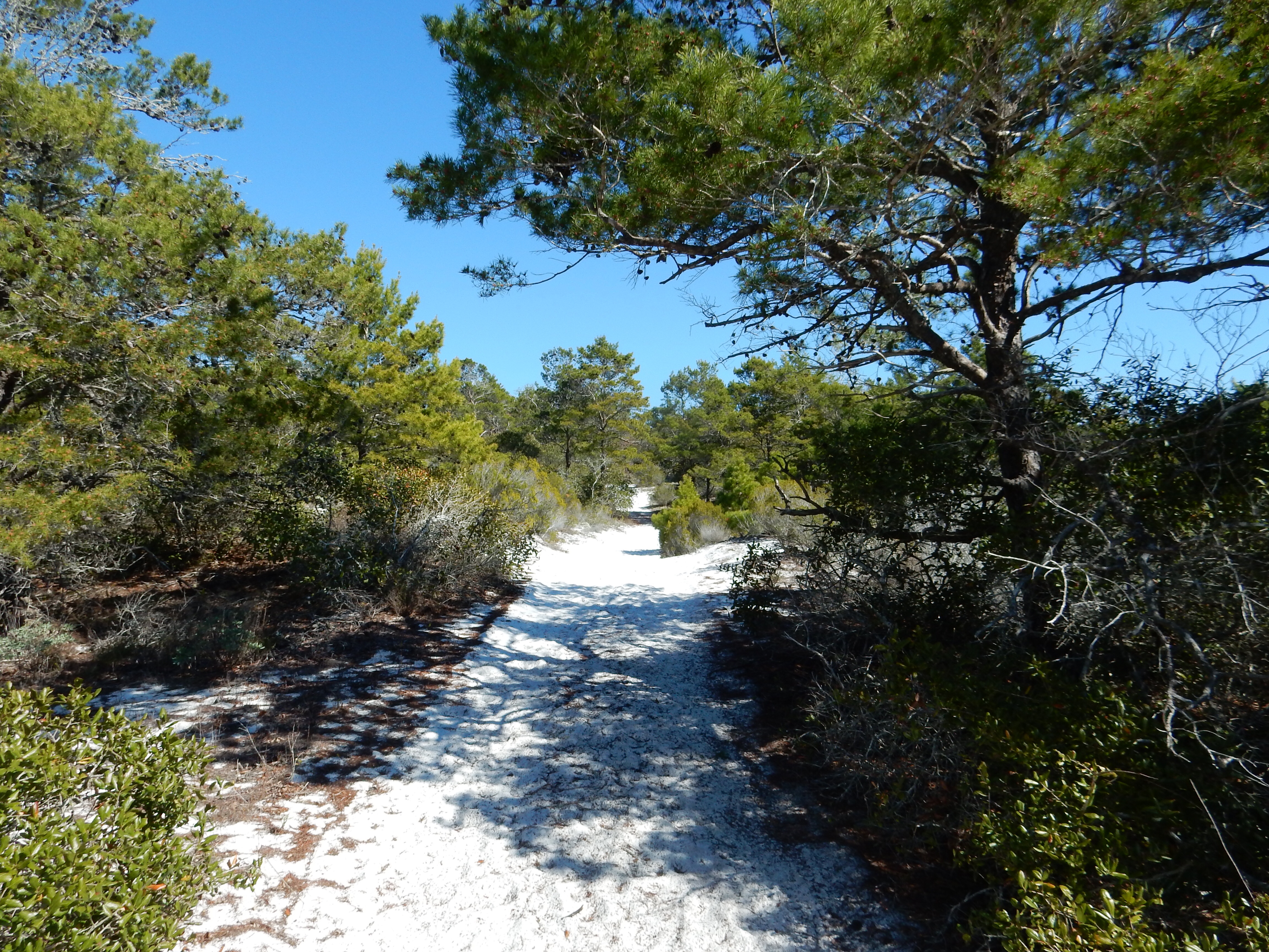
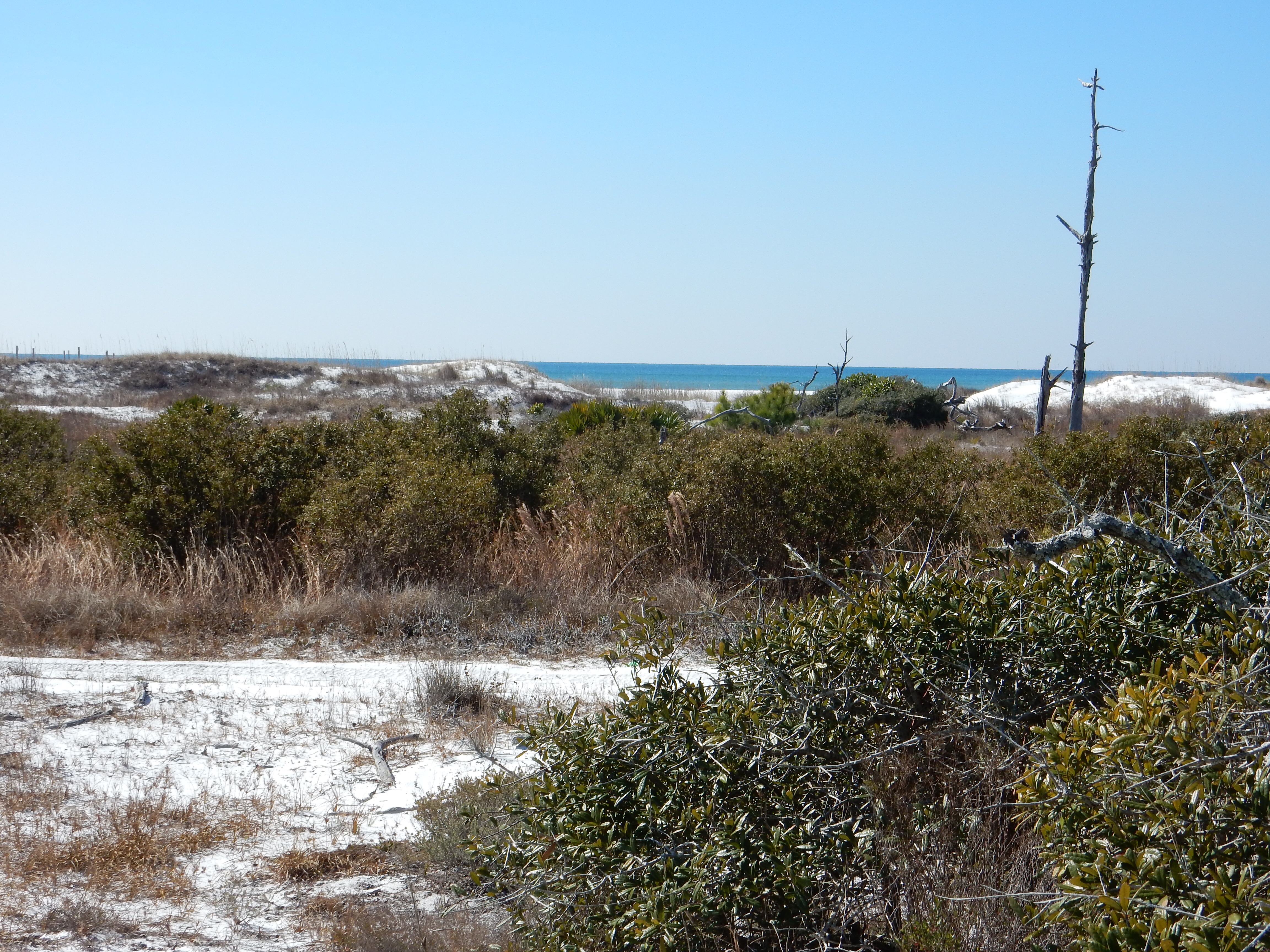
Walking in St. Joseph Peninsula State Park

Walking in St Joseph Peninsula State Park
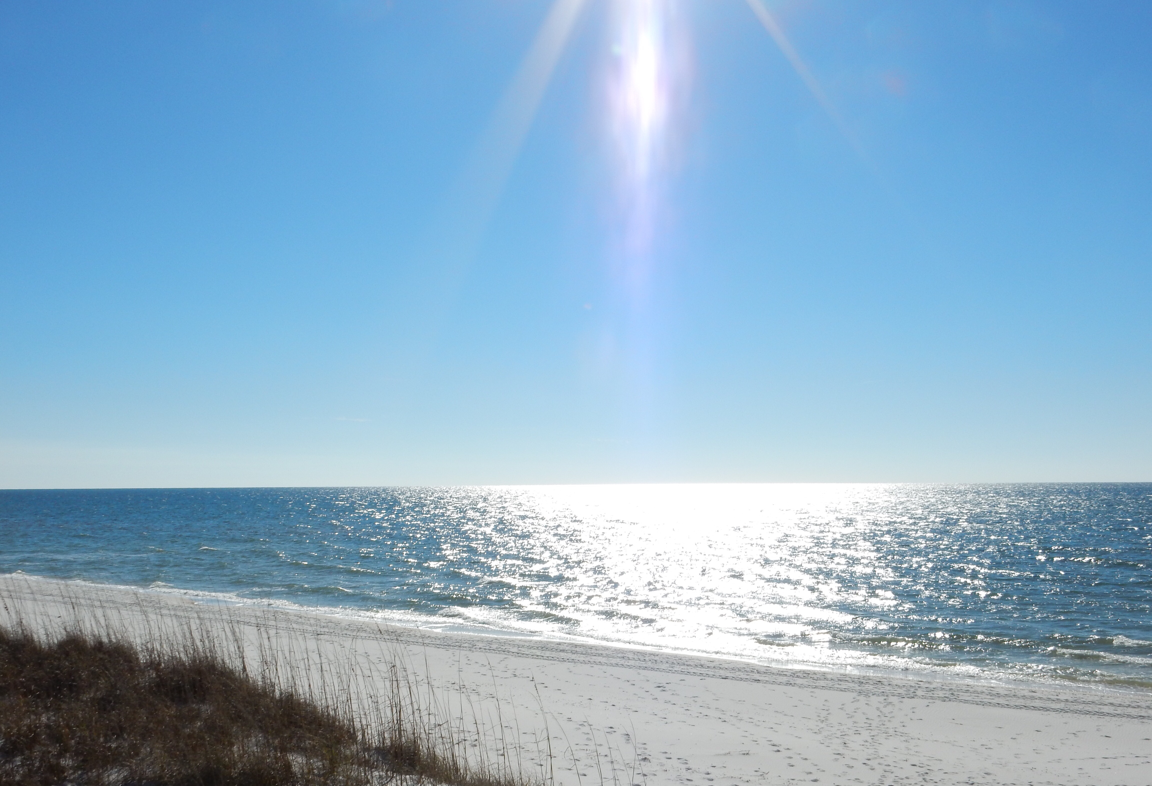
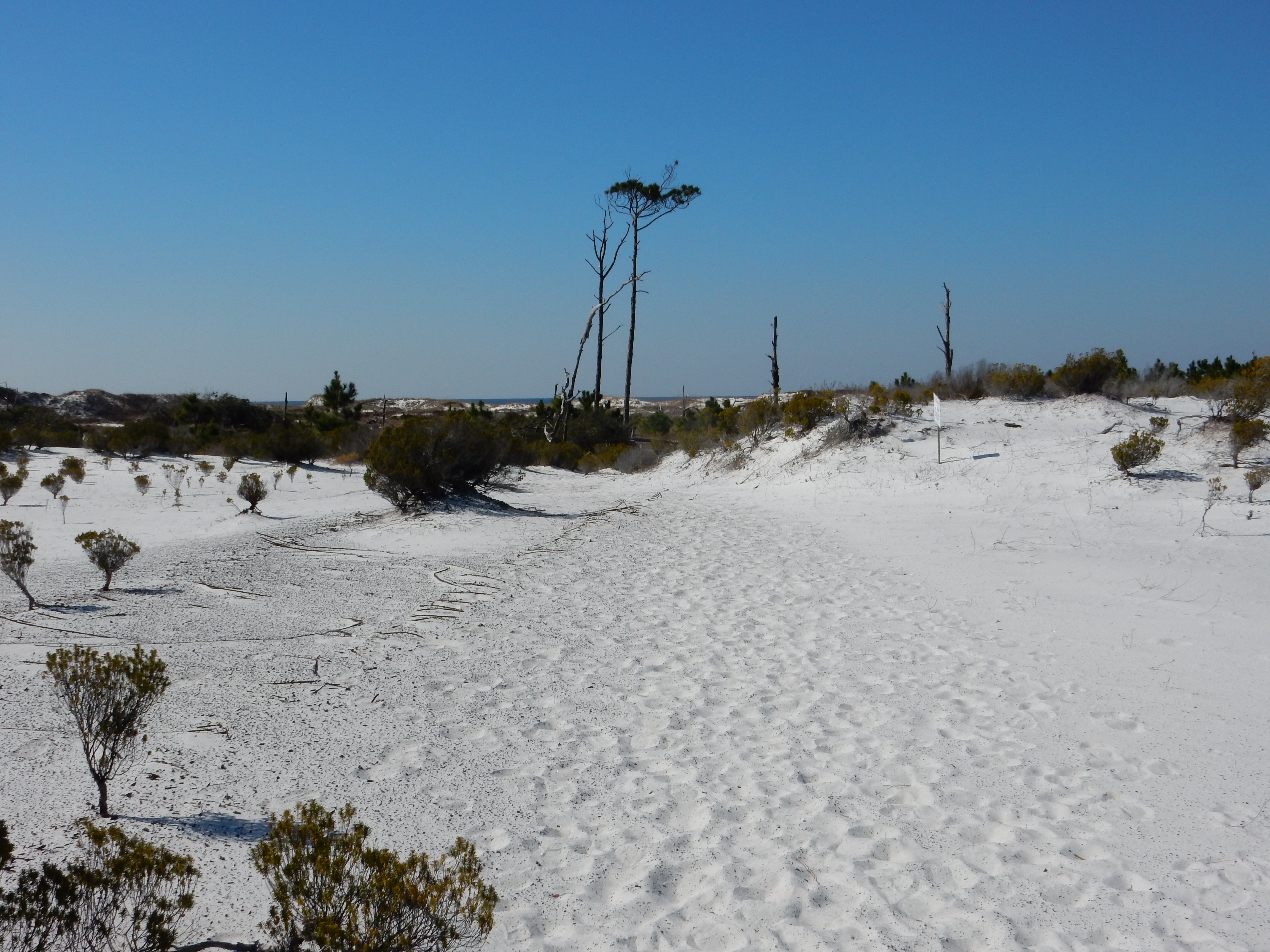
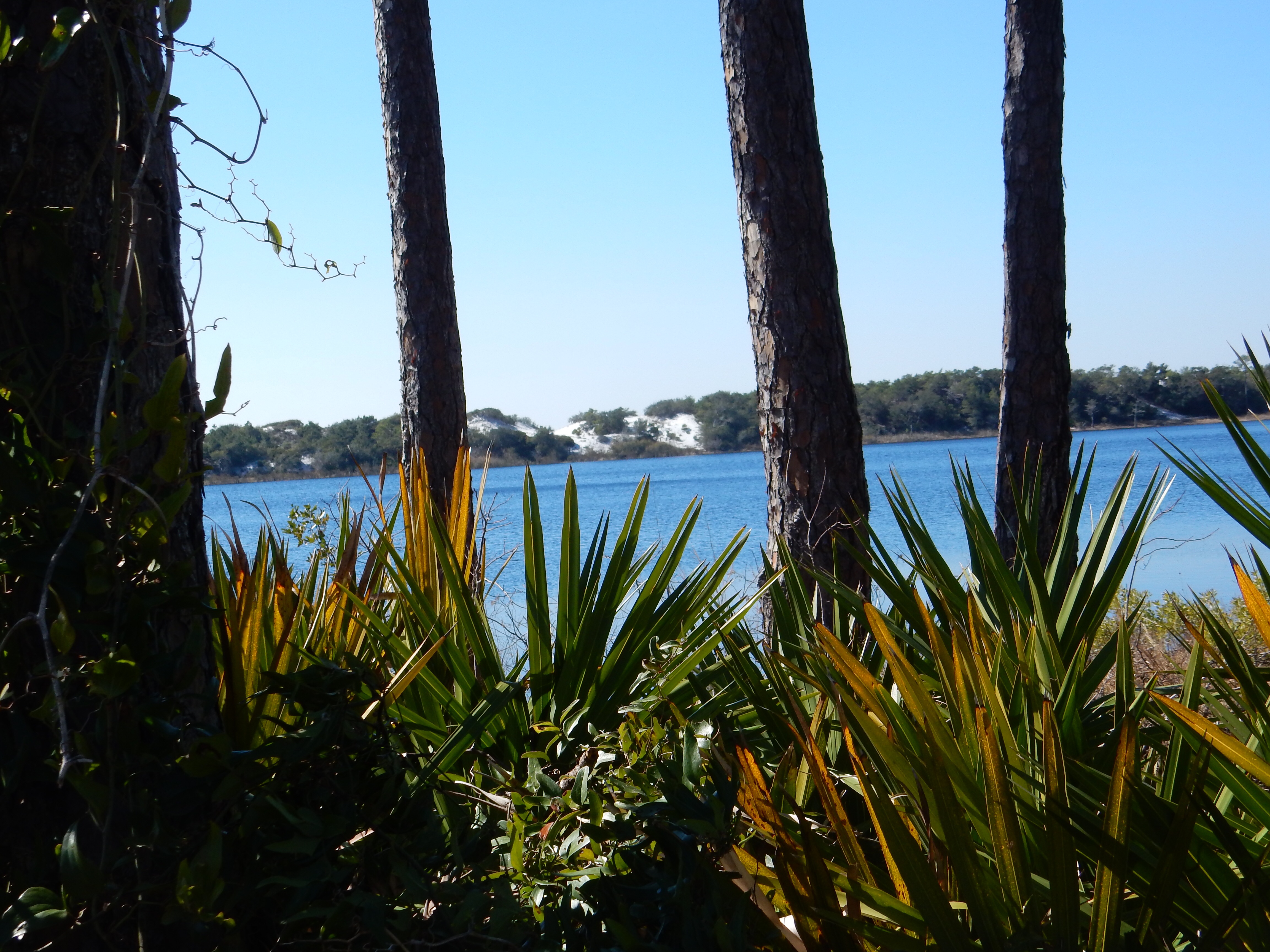
Looking west into the Gulf of Mexico
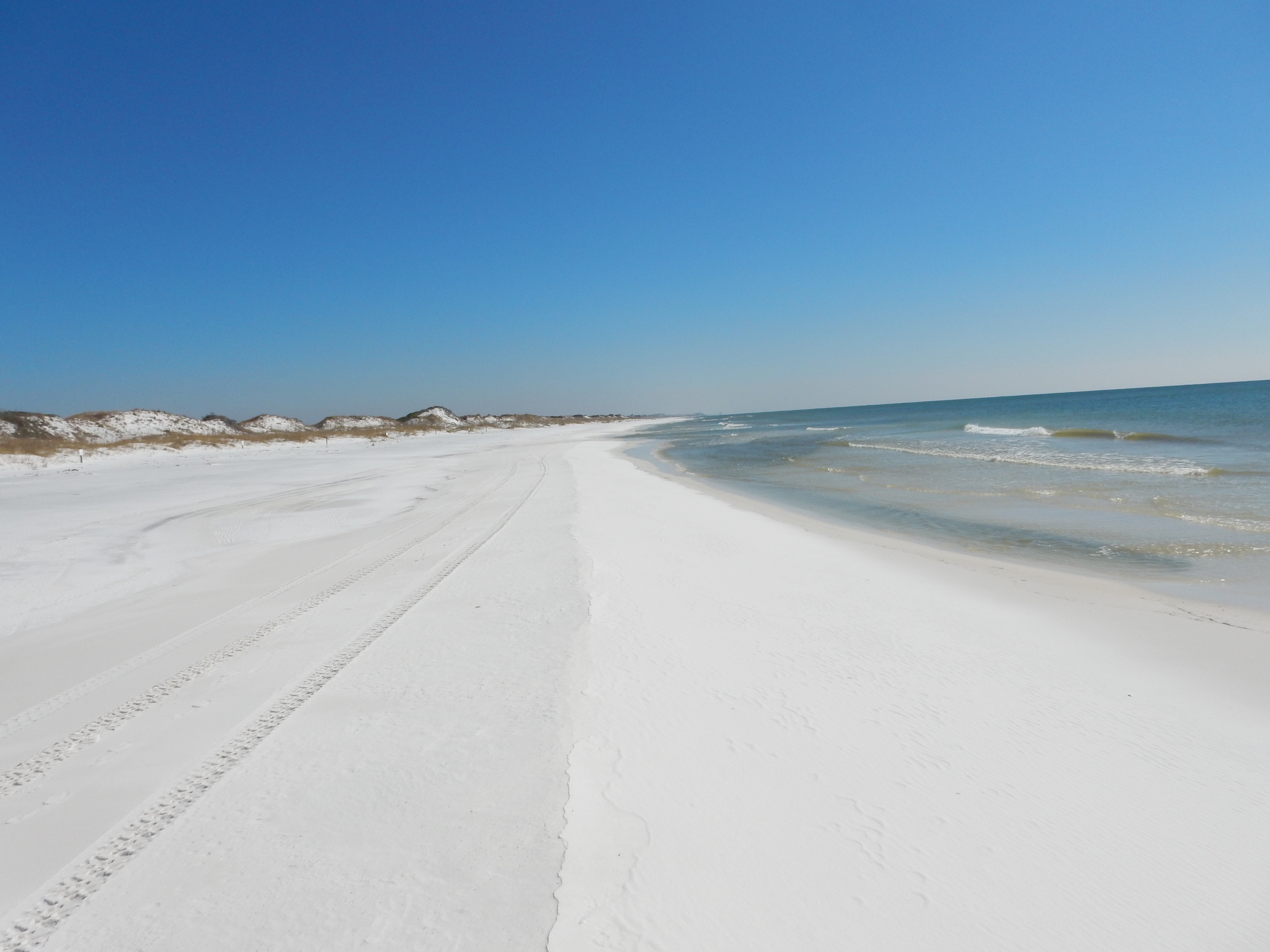
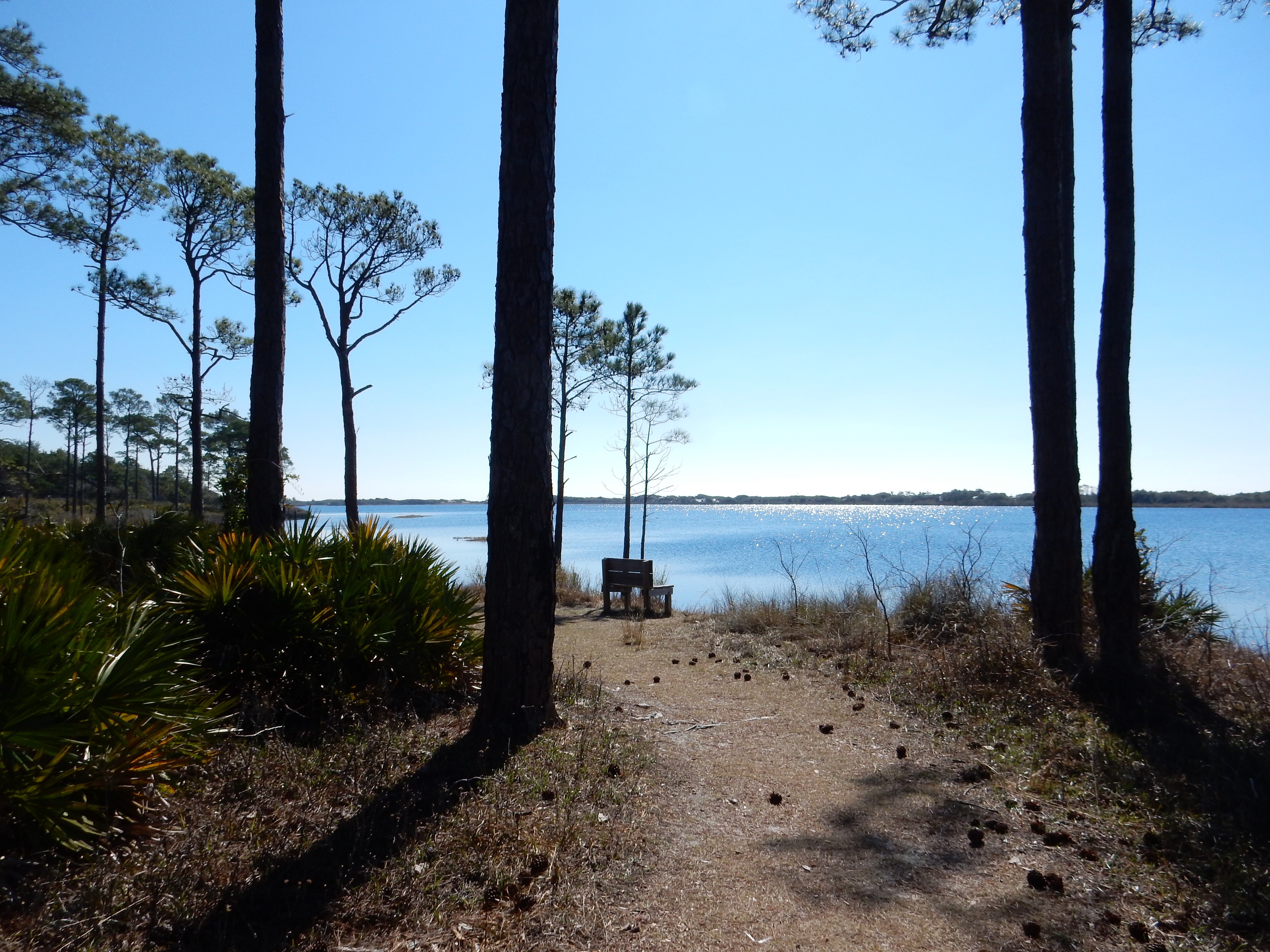
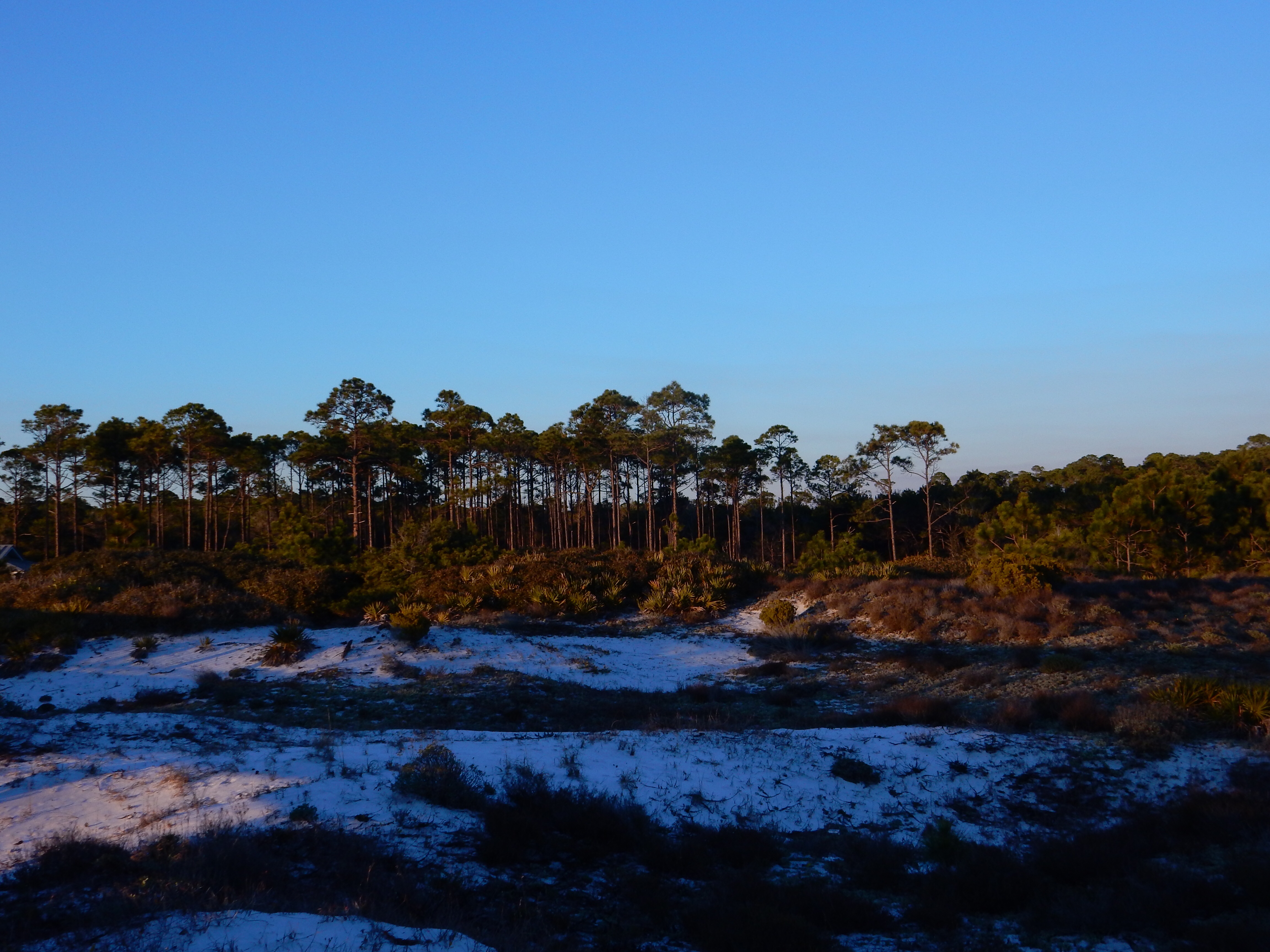
The original location of the lighthouse was on Cape San Blas on St. Joseph’s Peninsula. The Peninsula and Cape jut out into the Gulf and form a 10 mile barrier that protects Port St. Joe from coastal storms and creates a sheltered harbor. We drove out to the St. Joseph Peninsula State Park which was created after WWII when the military facility there closed. The end of the park is a wilderness preserve; we walked along a nature trail at the southern end of the park/peninsula.

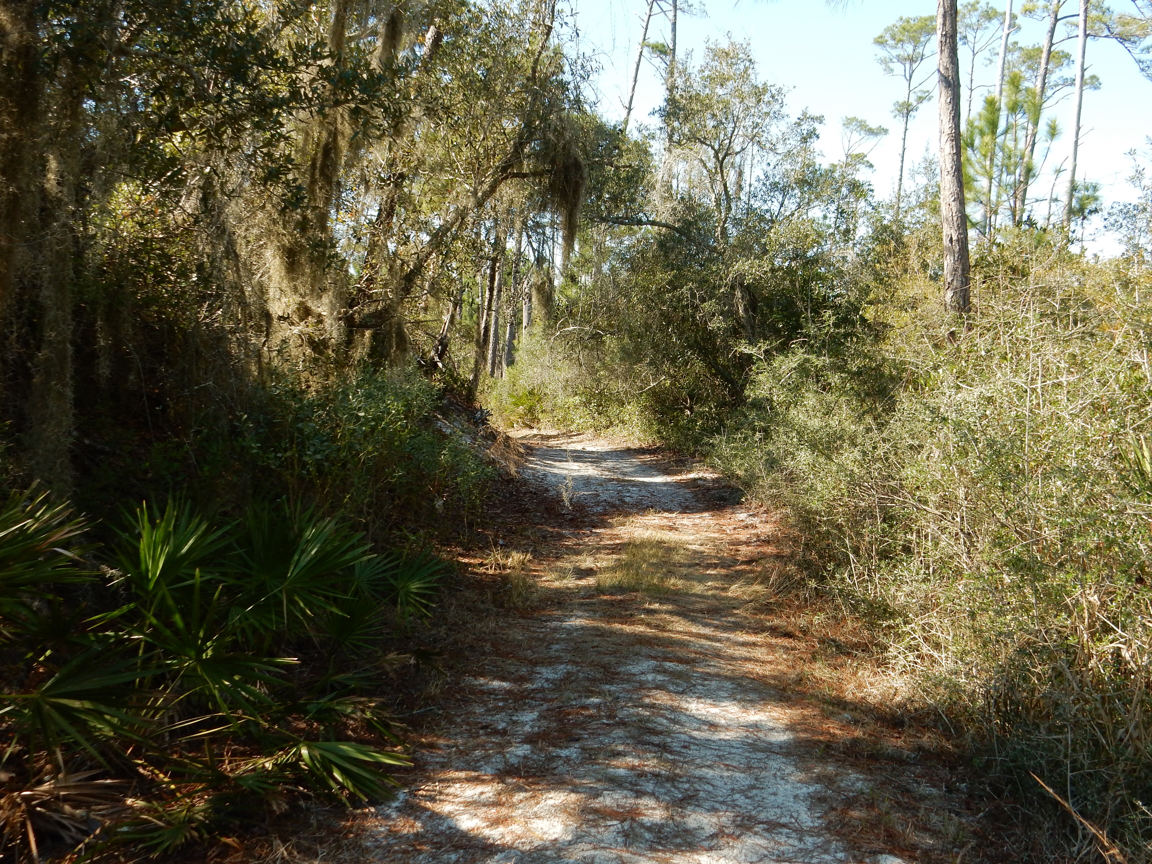
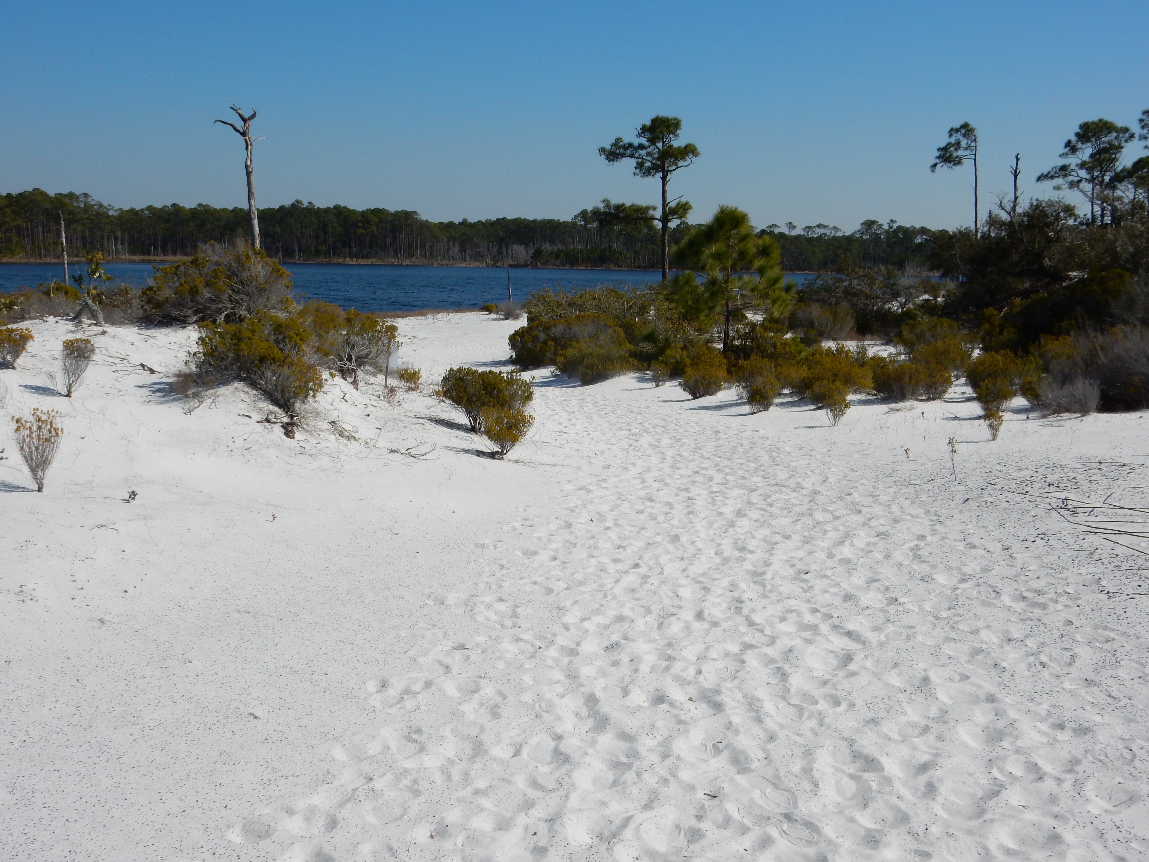
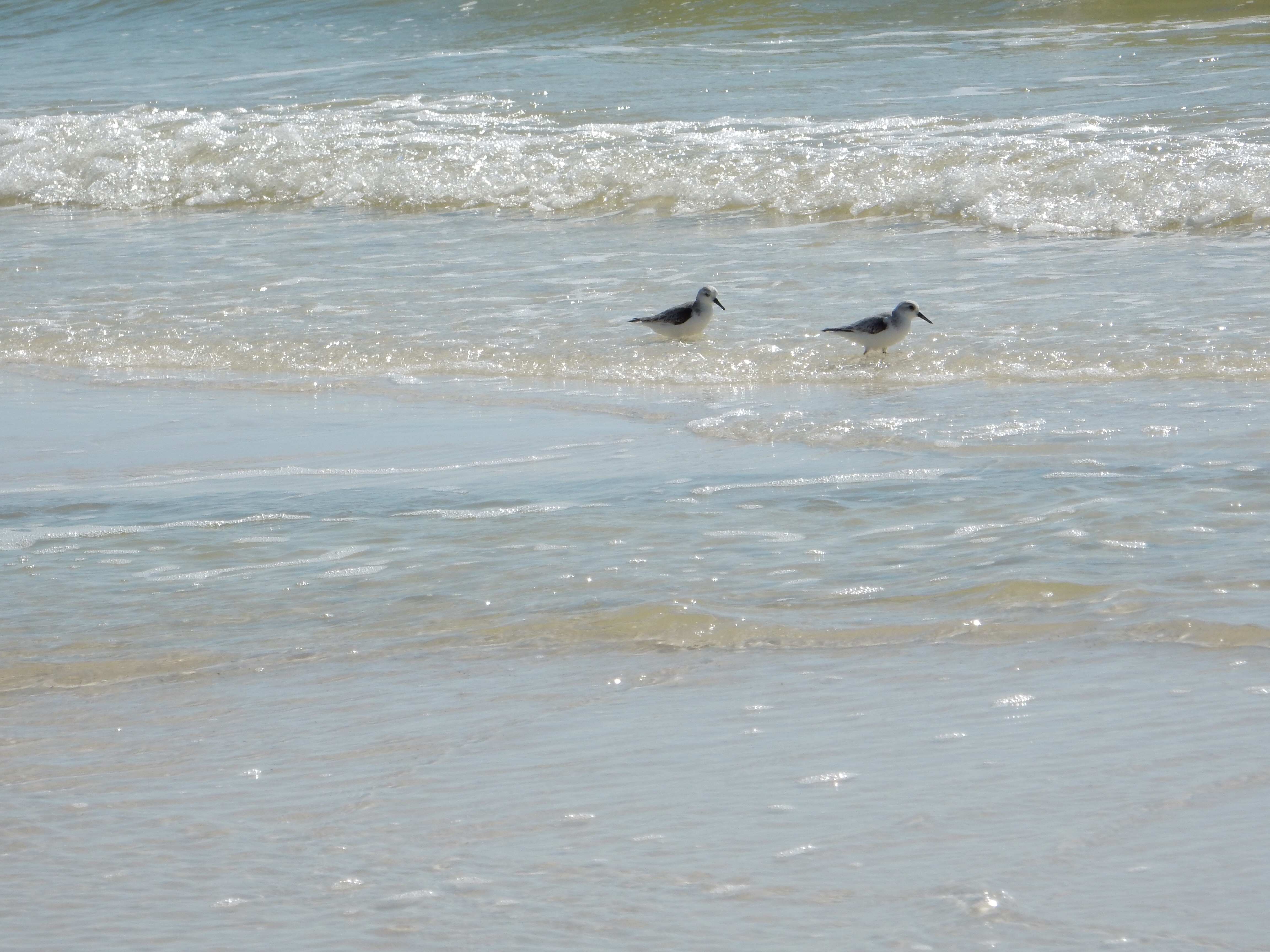
Walking along Cape San Blas
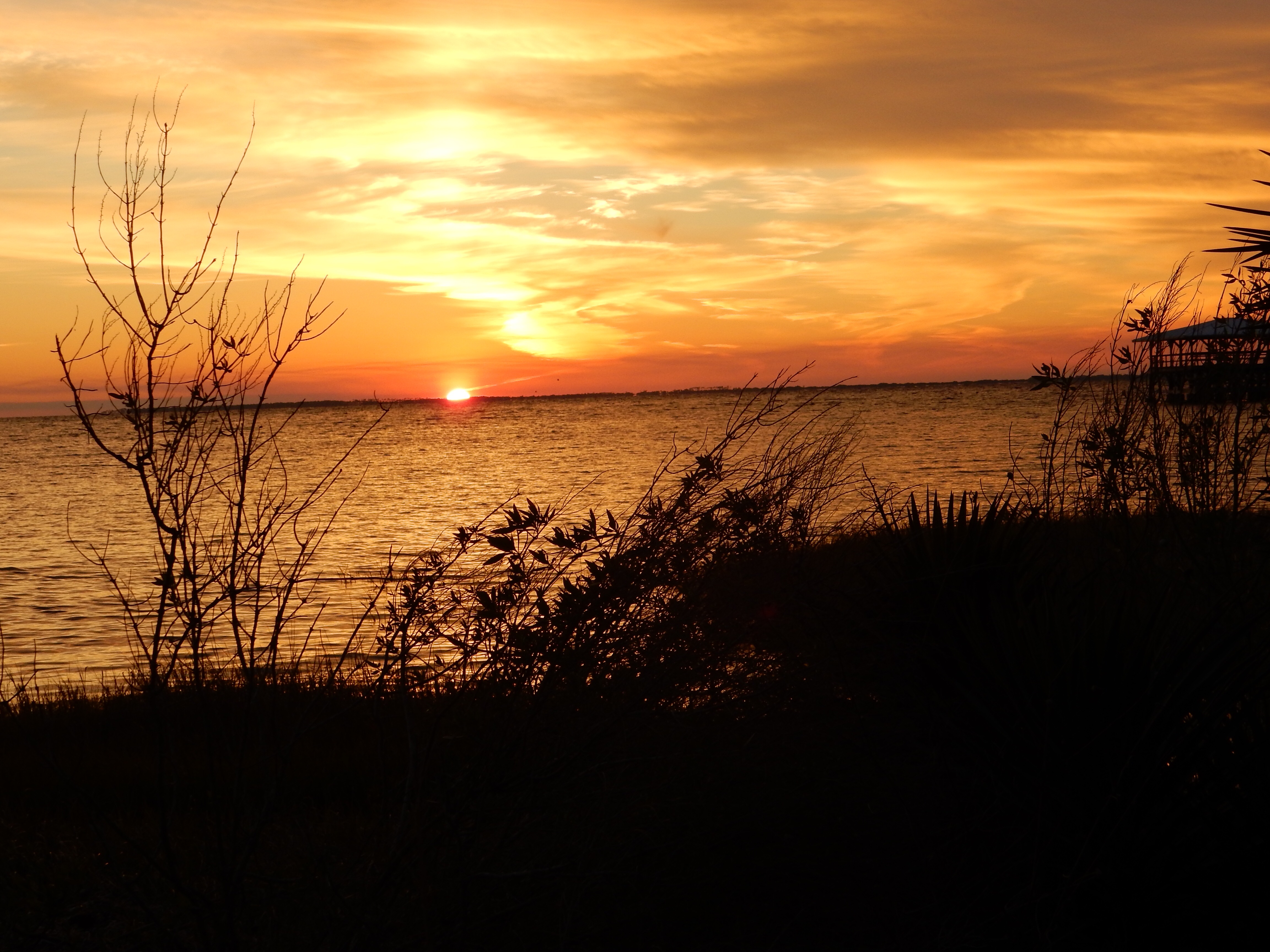
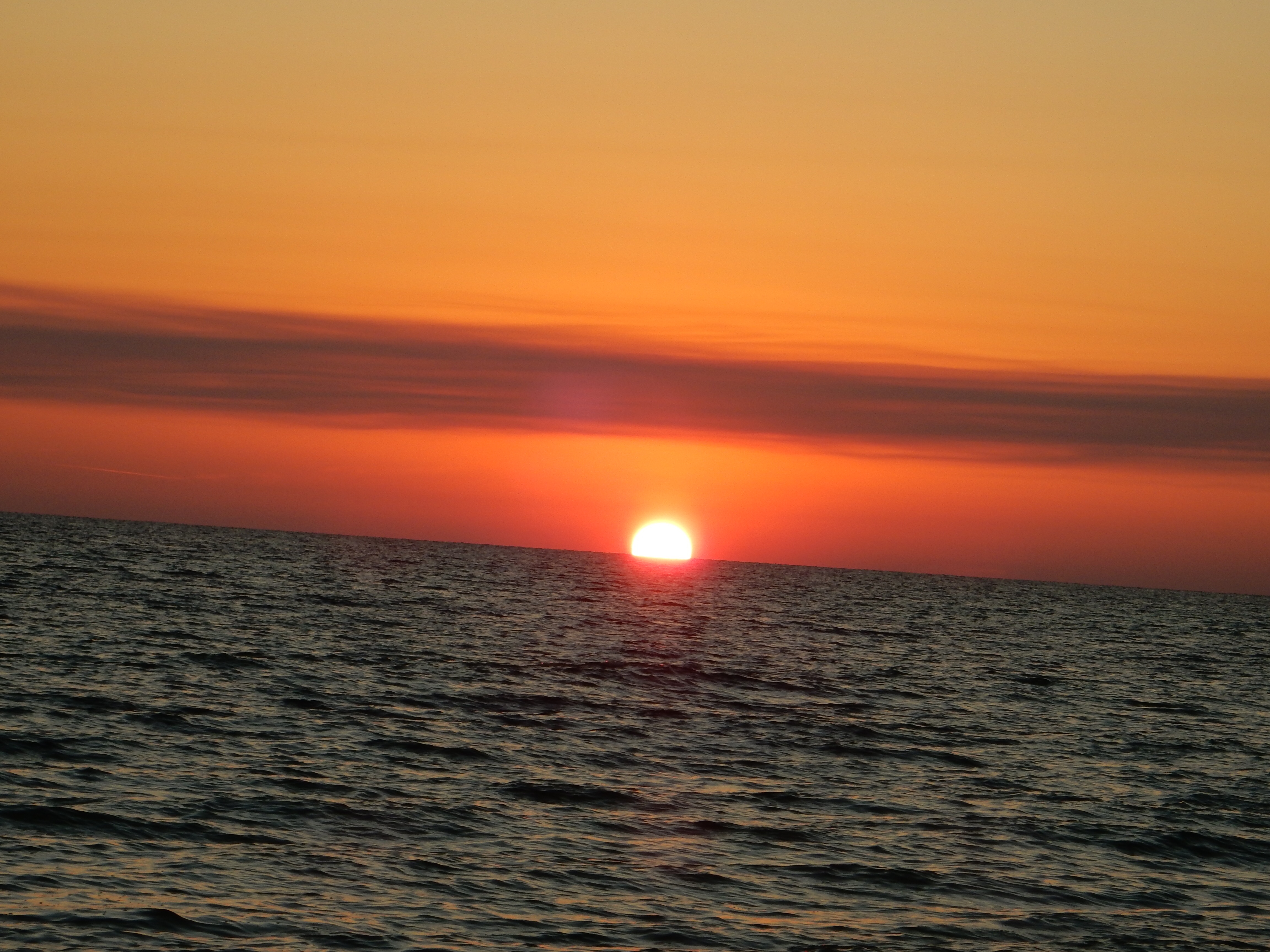
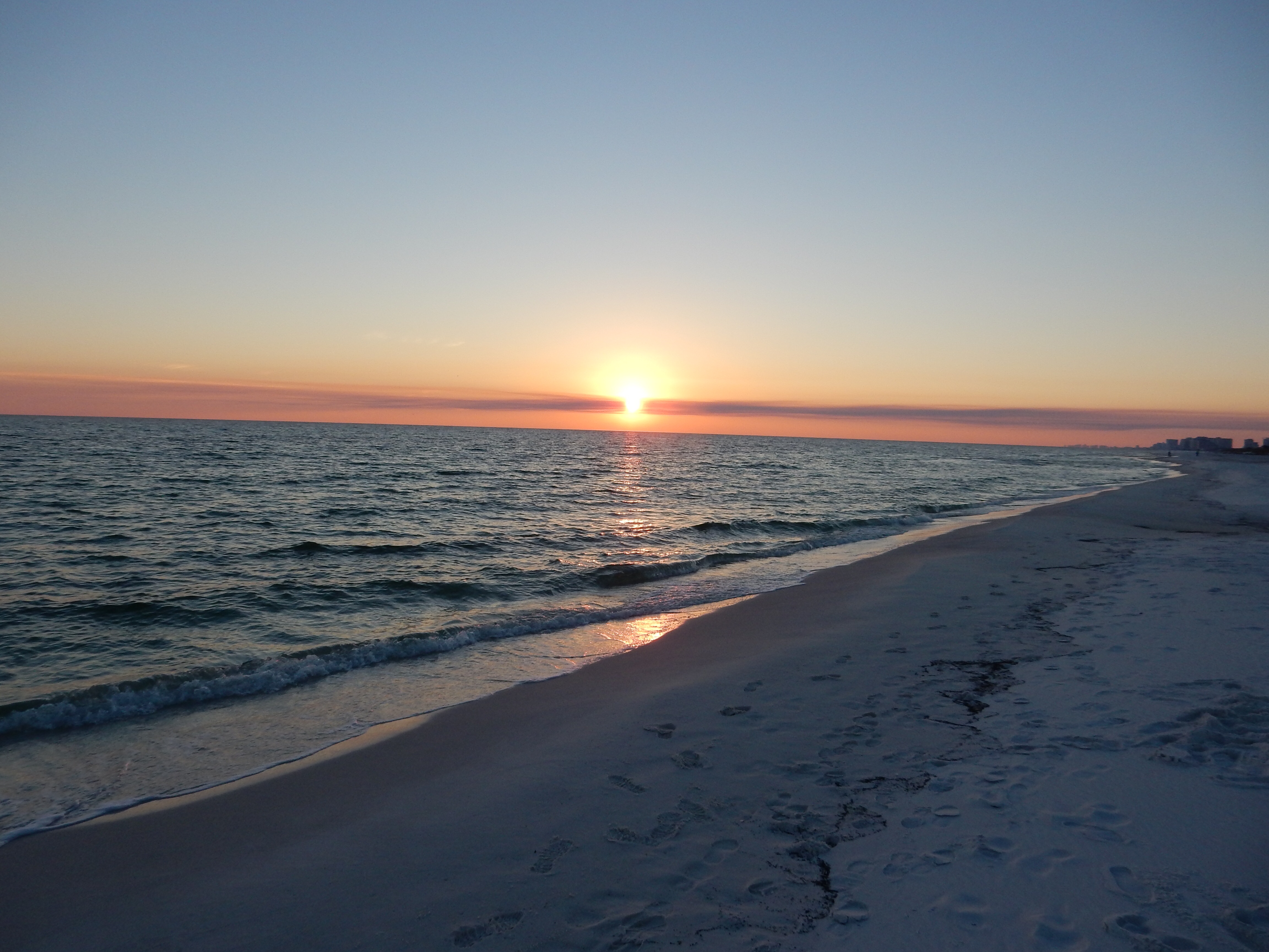
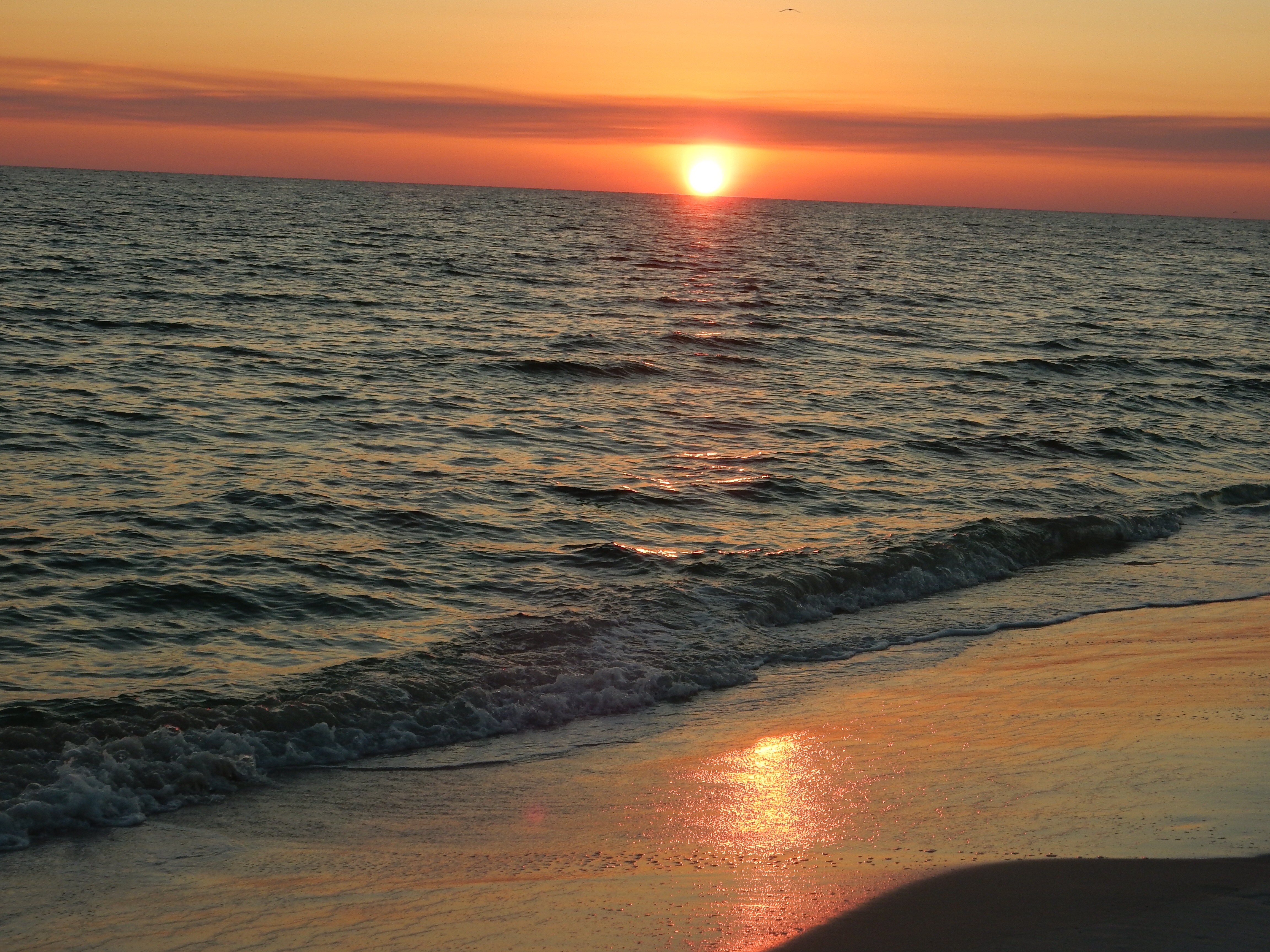
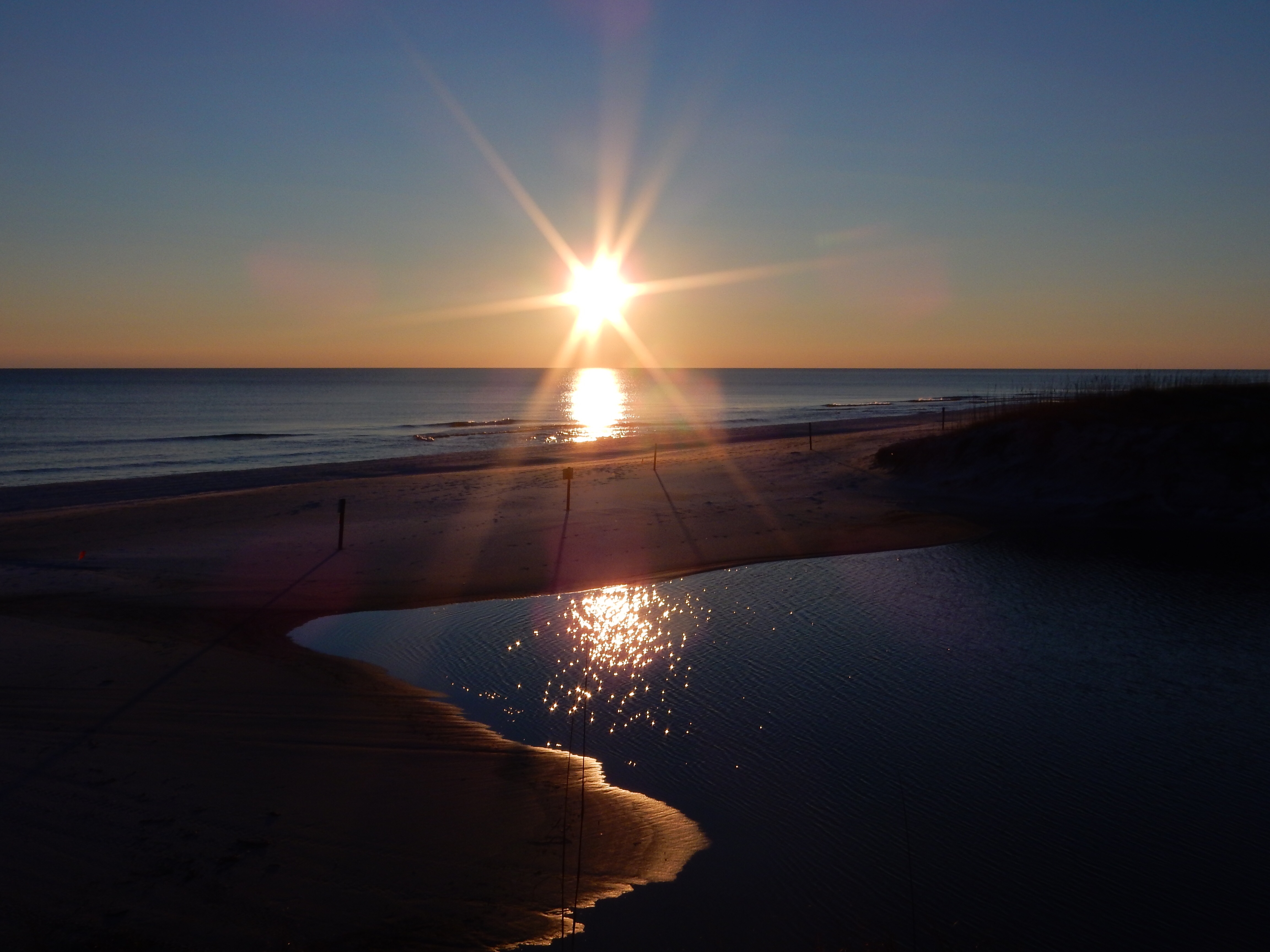
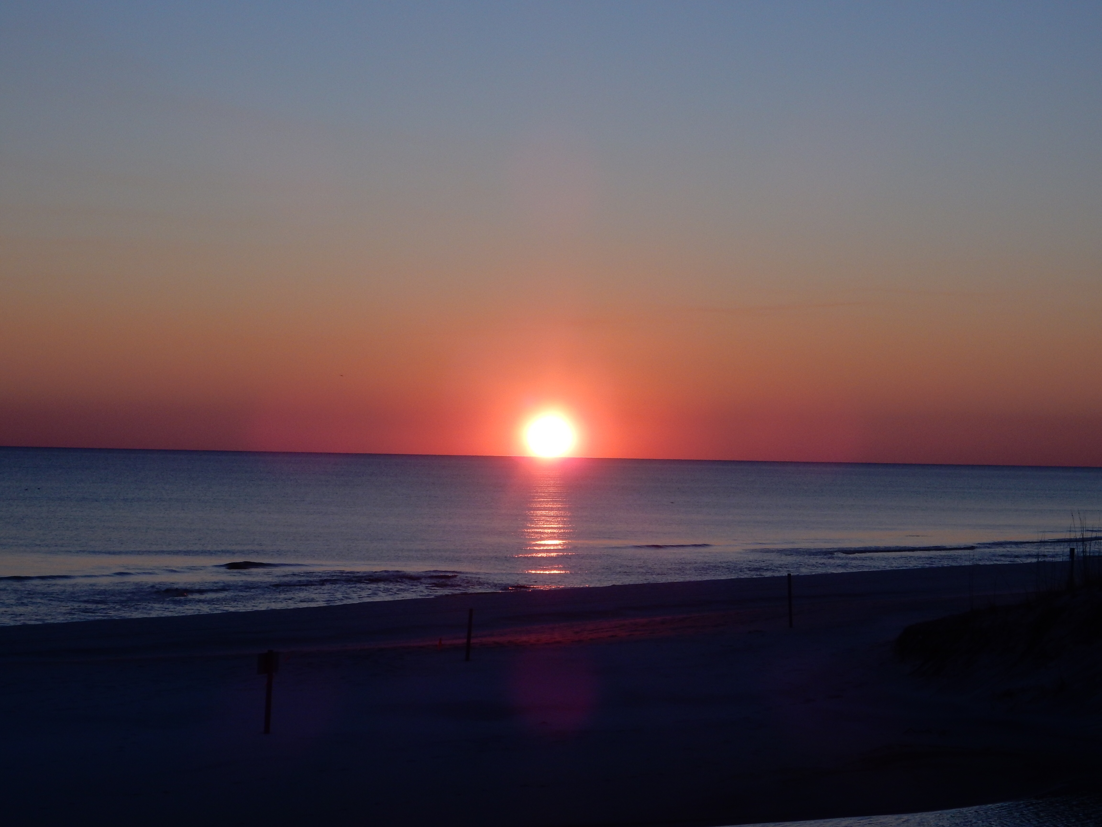
Sunset view from Sunset Coastal Grill
Dinner was at Sunset Coastal Grill in Port St. Joe. Excellent food and a location right on the bay with great sunsets (hence the name).
Ed and Chris 2/13 9:30 pm


Recent Comments