
Tuesday, August 18, East Grand Forks, MN
Along the road in MN
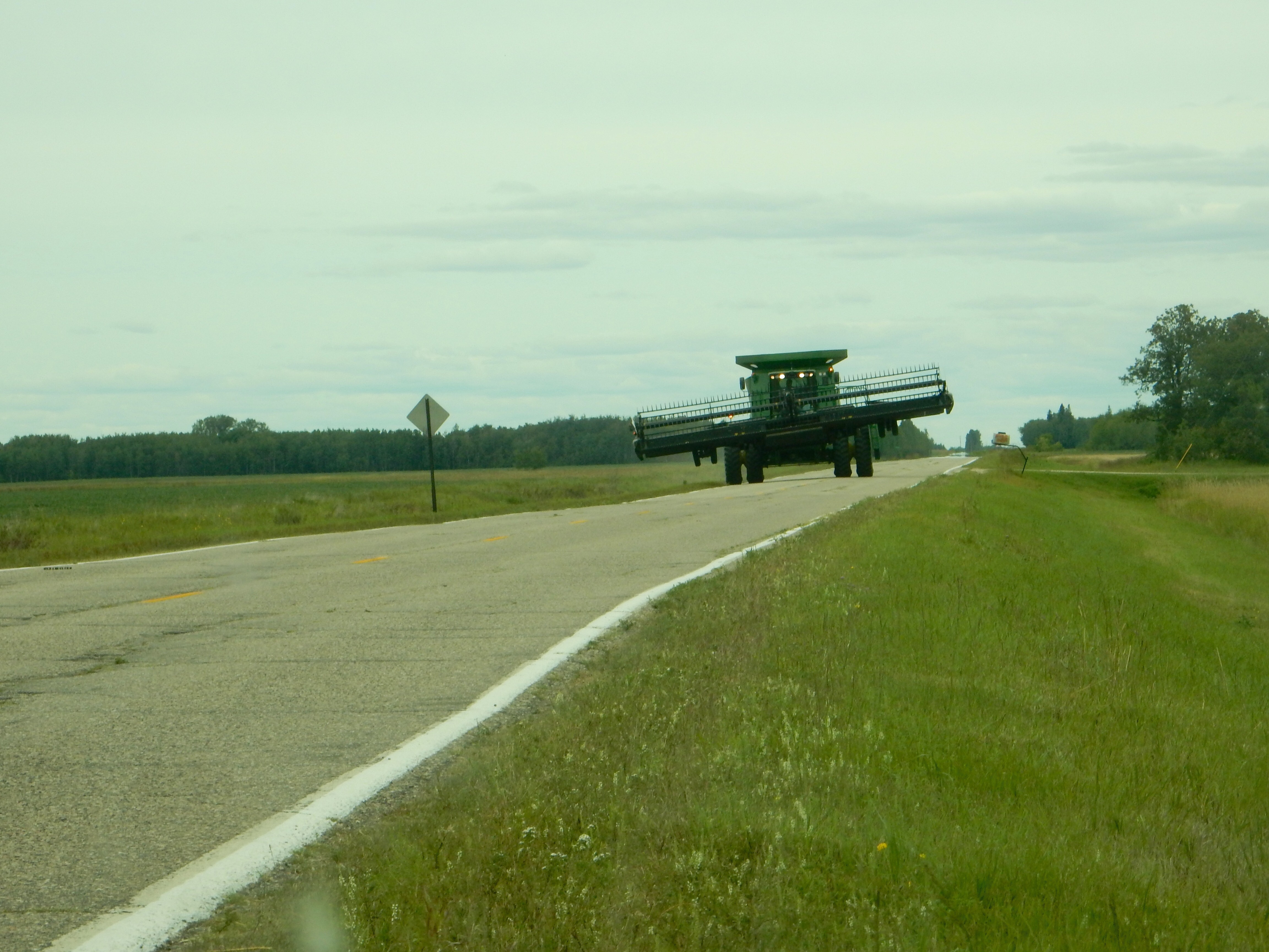
Just because the roads are flat and straight up here does not mean the driving is easy. We came across the monster above while driving to Thief River Falls on a county road. We had to not only pull over onto the shoulder of the road (without going in the ditch), we had to make sure we had pulled over at a spot where he could also spread out on to his shoulder.
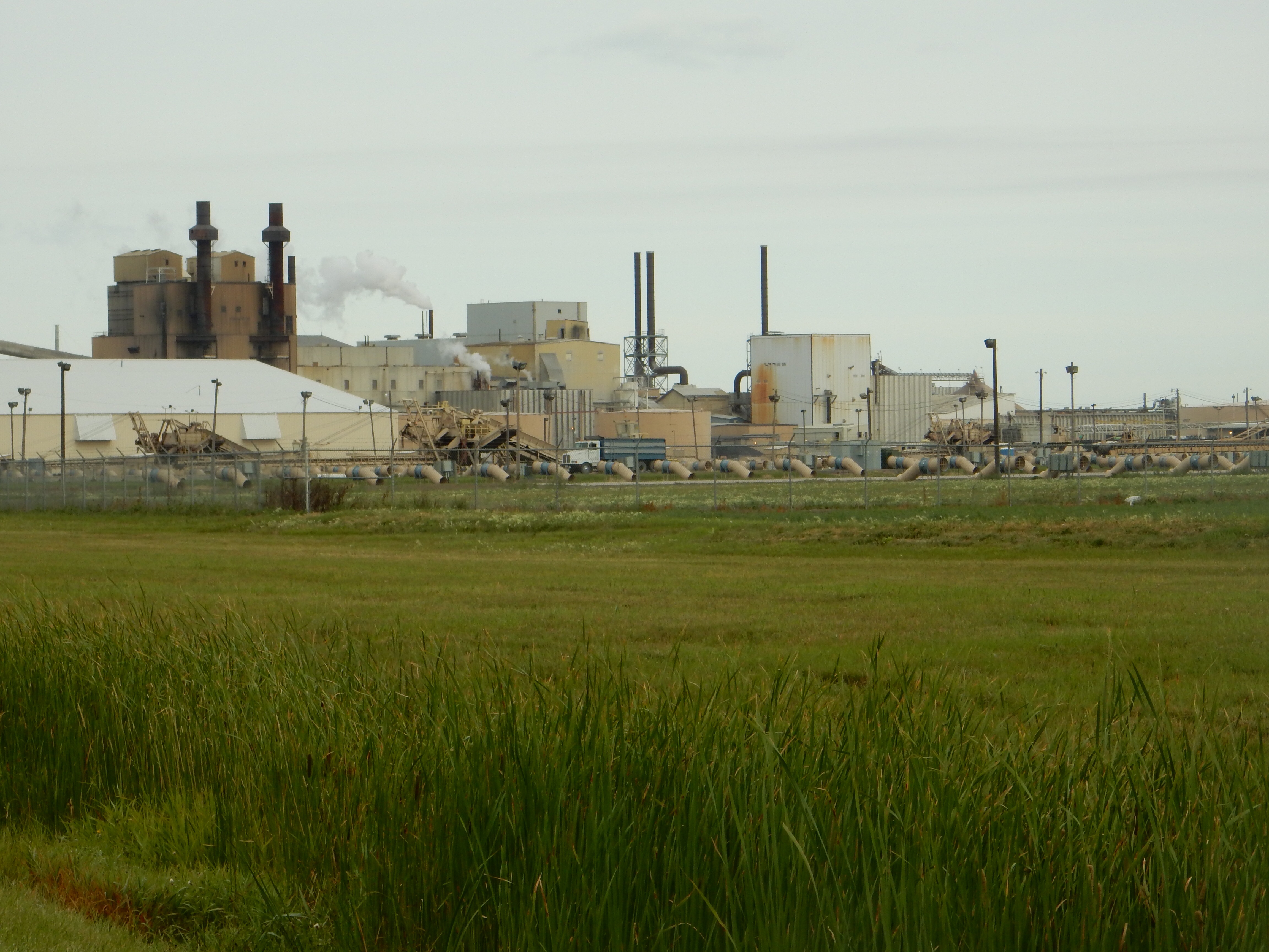
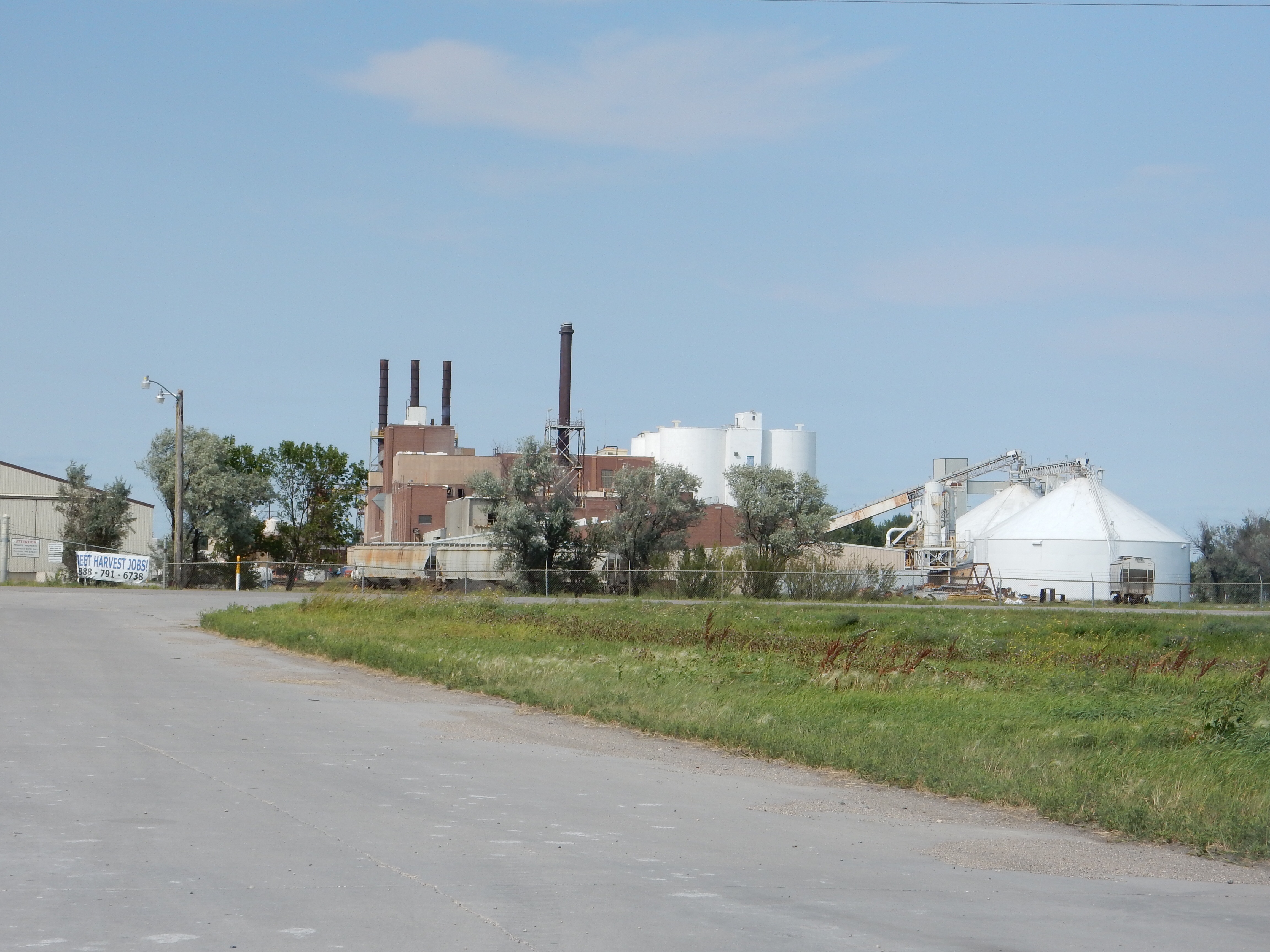
American Crystal Sugar plant in East Grand Forks

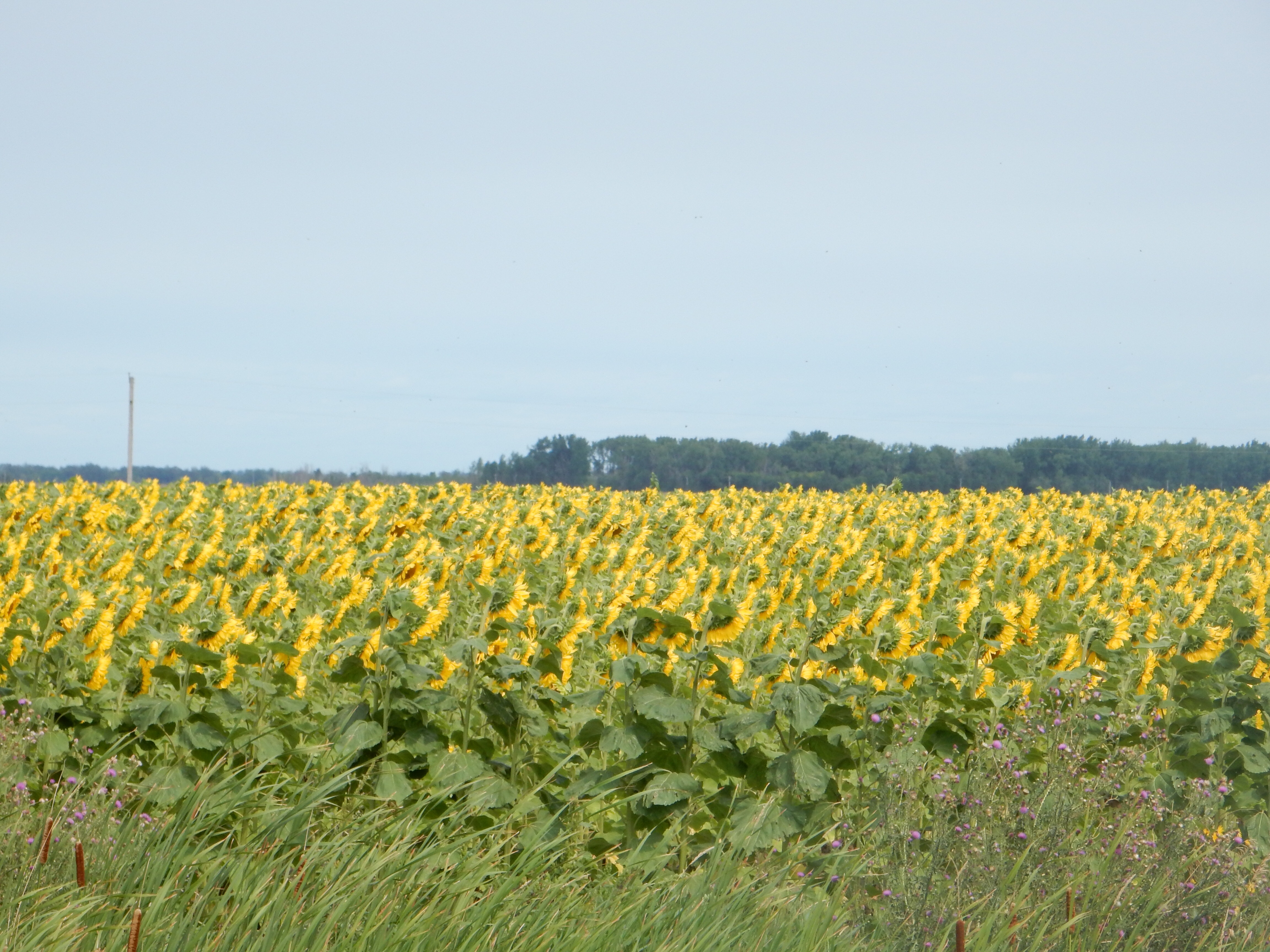
Sugar beets
Before starting our major endeavors, we had read that the sugar industry was starting to harvest sugar beets. We drove over to the plant and saw the beets being stacked outside on concrete pads..

Red River of the North at Grand Forks-East Grand Forks
Tuesday started with a five mile hike up the MN side of the Red River and back down the ND side of the river. Although, now that I think about it, we went down river by going north in MN and upriver by going south in ND. I forgot already the information I posted last time about the way the Red River of the North flows northwards.

The levee at East Grand Forks
The flood control efforts here cost over $400,000,000; about one half of the cost of the new Vikings football stadium. The landscaping is nice, the walls are attractive, and there are plenty of restrooms and recreational facilities. There are new bridges and new civic buildings. The number of homes removed has been equalled or exceeded by new housing built away from the river. They have removed the dam in the river and made it easier for fish to swim upriver.

Red River rapids, no dam
For those of you who do not remember, the flood control measures are necessitated since the Red River of the North flows through very flat land, resulting in spring flood waters that spread out for a dramatic distance. In addition, since it flows north, river waters in the south melt first and then run into a roadblock of ice on the river as the water flows downstream (north).

A memorial indicating the height of the past floods along the Red River
After the morning walk, we drove to Thief River Falls. Our goal was to make the 1:00 PM tour of the Arctic Cat factory. Arctic Cat makes snowmobiles, all terrain vehicles, recreational off highway vehicles. (No pictures can be taken inside the factory.) Arctic Cat is a MN company, founded in 1960 as a spin-off from Polaris Industries, the original maker of snowmobiles.

Arctic Cat snowmobiles
Arctic Cat employes 1800 people in the Thief River Falls area. Population here is about 8500. As we found out at dinner, another company,Digi-Key, employs another 3000 people here. Digi Key buses (free of charge) employees in from Crookston, East Grand Forks, etc. If you want a job in this part of MN, you can get one real easy.
The 90 minute tour took us through the manufacturing lines for snowmobiles, all terrain vehicles (ATV), and recreational side by side off highway vehicles (ROV). They assemble here; most parts are made by third-party suppliers. We did view close up the section where the foam seat cushions are molded and one woman demonstrated how she placed the leather finish over the seat. Women and men worked side by side at almost all production jobs.
Arctic Cat makes 225 snowmobiles per day and 75 each of the ATVs and of the ROVs. Some of the product they assemble is for Yamaha. The plant tour is noisy and it was difficult sometimes to hear the presenter but still it made for an interesting experience. Thursday we go on the Polaris factory tour.
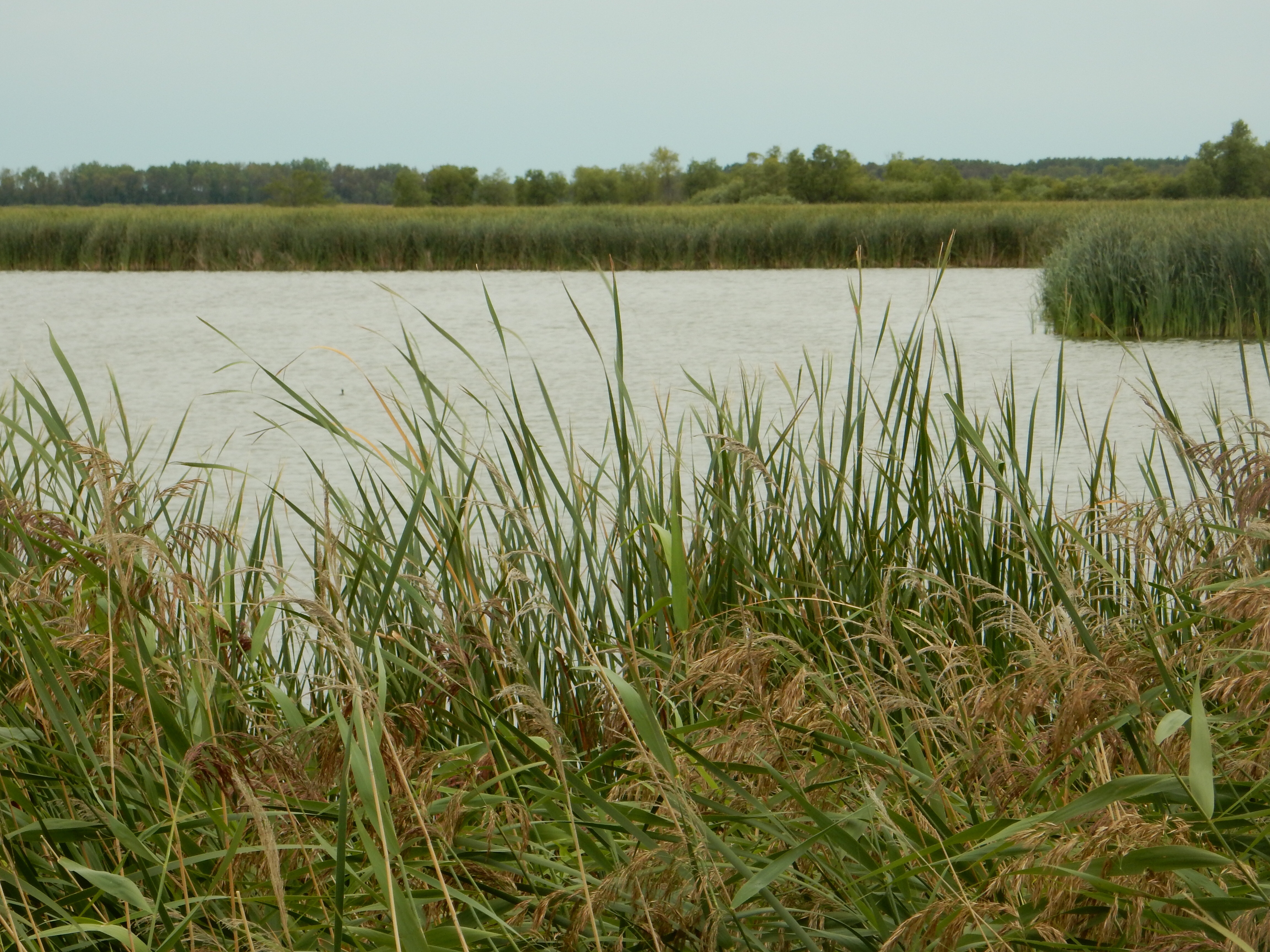
Agassiz Wildlife Refuge
We left Thief River Falls and headed out to Agassiz National Wildlife Refuge, our third wildlife refuge in three days. Agassiz is 60,000 acres of wetland, shrubland, forests and grasslands. The name comes from the Swiss-American naturalist for whom Glacial Lake Agassiz was named. Glacial Lake Agassiz existed 8-10,000 years ago when the snow and ice from the last glacier melted and covered this area. The glacier formed the very flat land we have been driving across. The refuge was created in the 1930s in reaction to the same issues that created Rydell Wildlife Refuge. The attempts by local farmers and counties to drain the land was unsuccessful and the tax forfeited land went to the state. Even the state could not afford the upkeep so they handed it over to the feds.

Agassiz Wildlife Refuge
A hike and a four mile driving tour of the refuge left us less impressed than we had been with Rydell. Rydell seemed more visitor friendly; but then the mission of the refuges is to preserve and protect the fish and wildlife. Agassiz is larger and may be a better resource for the animals. Our drive was through wetlands; without much elevation, it is hard to see beyond the cattails and water.
Dinner was at the Evergreen Eating Emporium in Thief River Falls. An excellent meal. The hostess was the one who filled us in on the employment patterns in the area. She has worked for Digi-Key for 20 years, and for 20 years for the restaurant. Kind of knows the ins and outs.
Wednesday, August 19.
East Grand Forks was left behind as we headed out to Roseau MN. Along the way, we stopped at two State of Minnesota parks, Lake Bronson and Hayes Lake. Both of these lakes are man-made, not natural. Both offer much desired water recreation options.
Lake Bronson state park
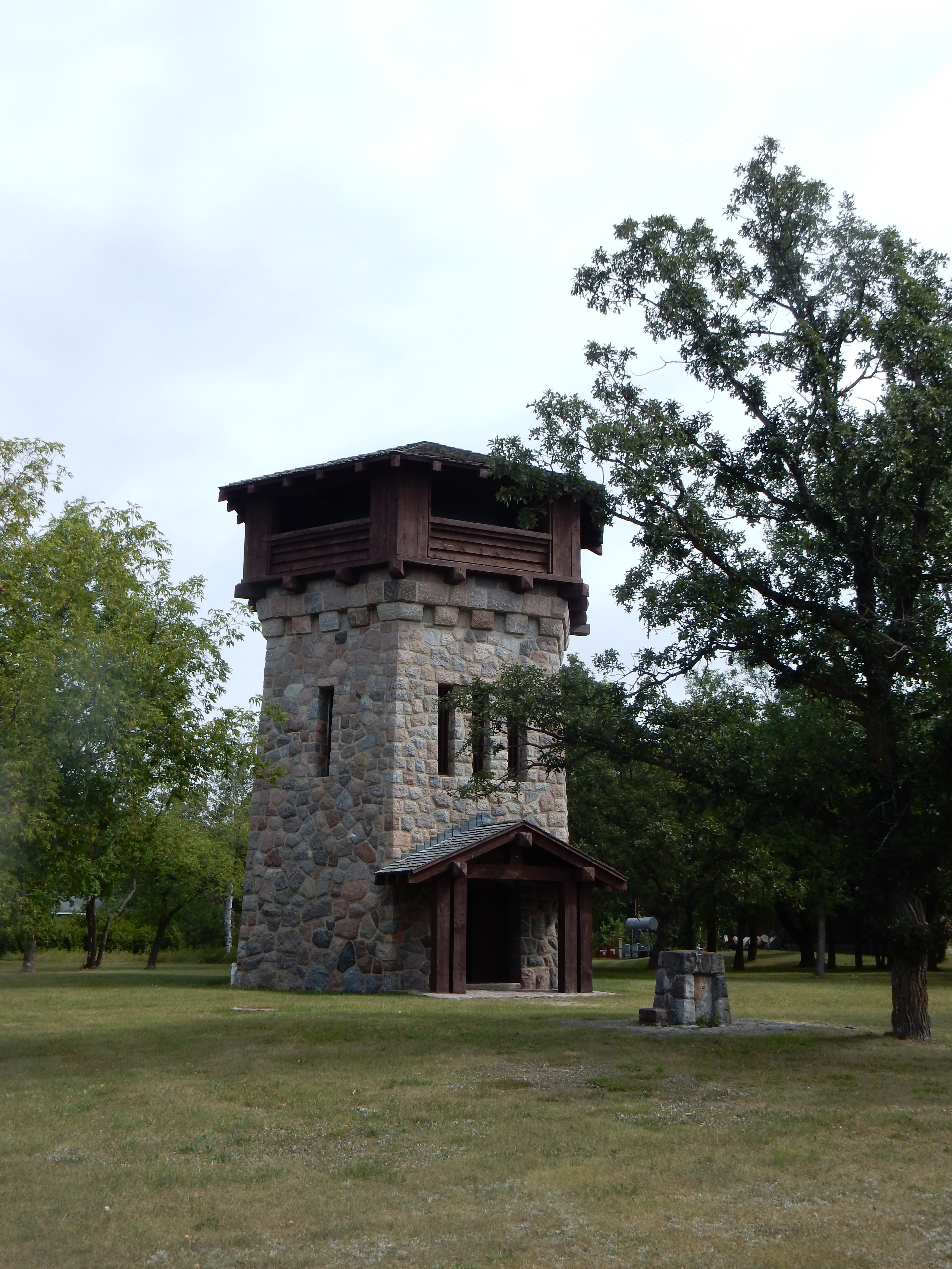
WPA constructed water tower and observation tower at Lake Bronson
Lake Bronson was formed due to a water shortage in the 1930s. This area of MN actually has slightly salty groundwater. Remember those acidic bogs at Big Bog Recreation Area a few days ago? Bronson and Hallack wanted a reliable drinking water source and the WPA (Works Progress Administration) came through. The WPA was one of FDR’s answers to the Depression. The WPA built a dam here, along with park facilities, water treatment plant and piping, and enough other public projects to make this location the largest WPA project in the State of Minnesota.
Our walk here was okay but shortened. We planned to reach a second portion of the park, but found that the gravel road was so washboardy that we worried about the suspension on the car. The other dirt roads we have been driving on were fine, this one was not. We decided not to risk the suspension and drove on to Hays Lake State Park. Unfortunate for us; Hayes Lake was far enough away with greater rainfall that the mosquito count was much higher than at Lake Bronson.

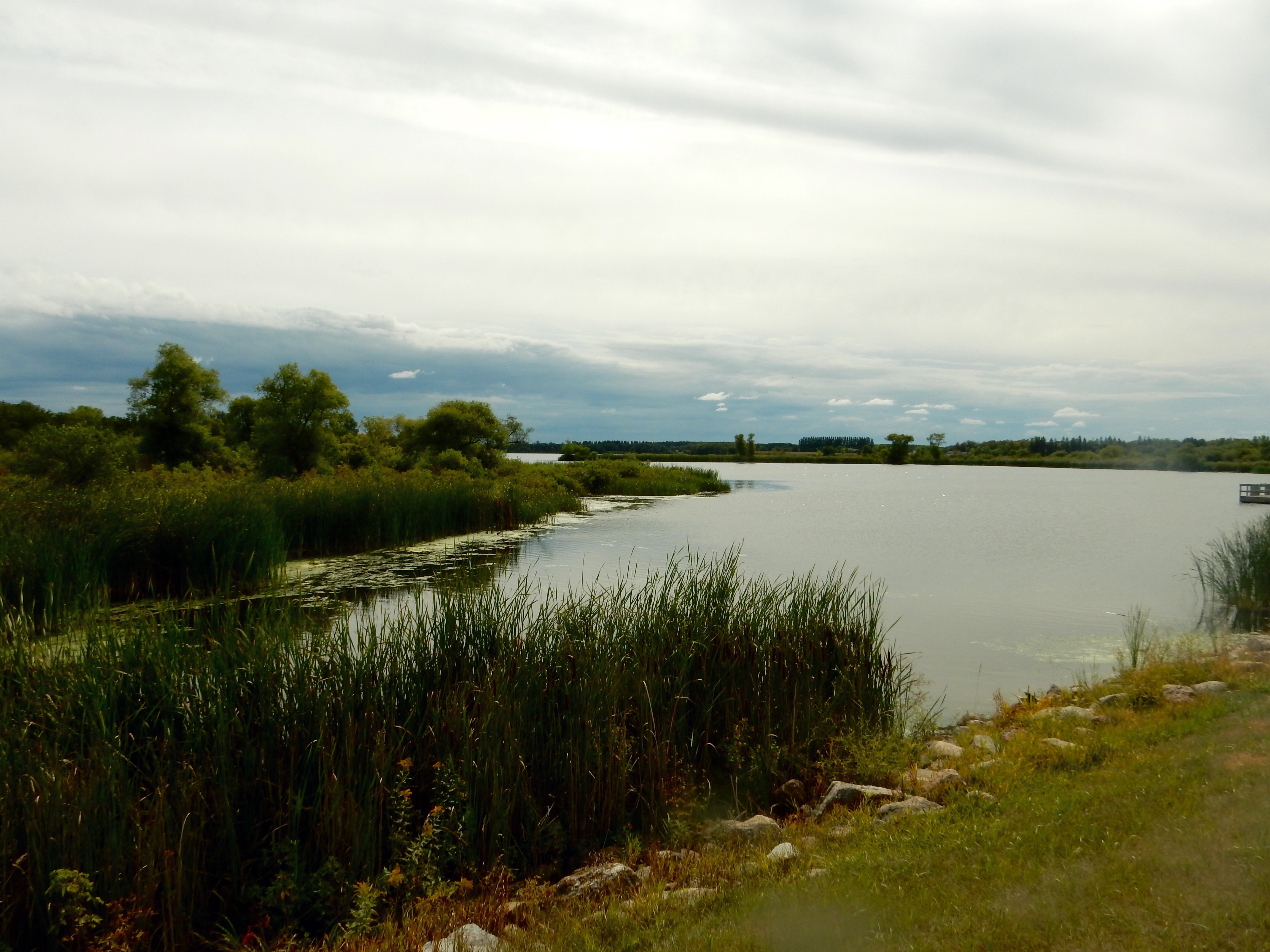
Lake Hayes State Park
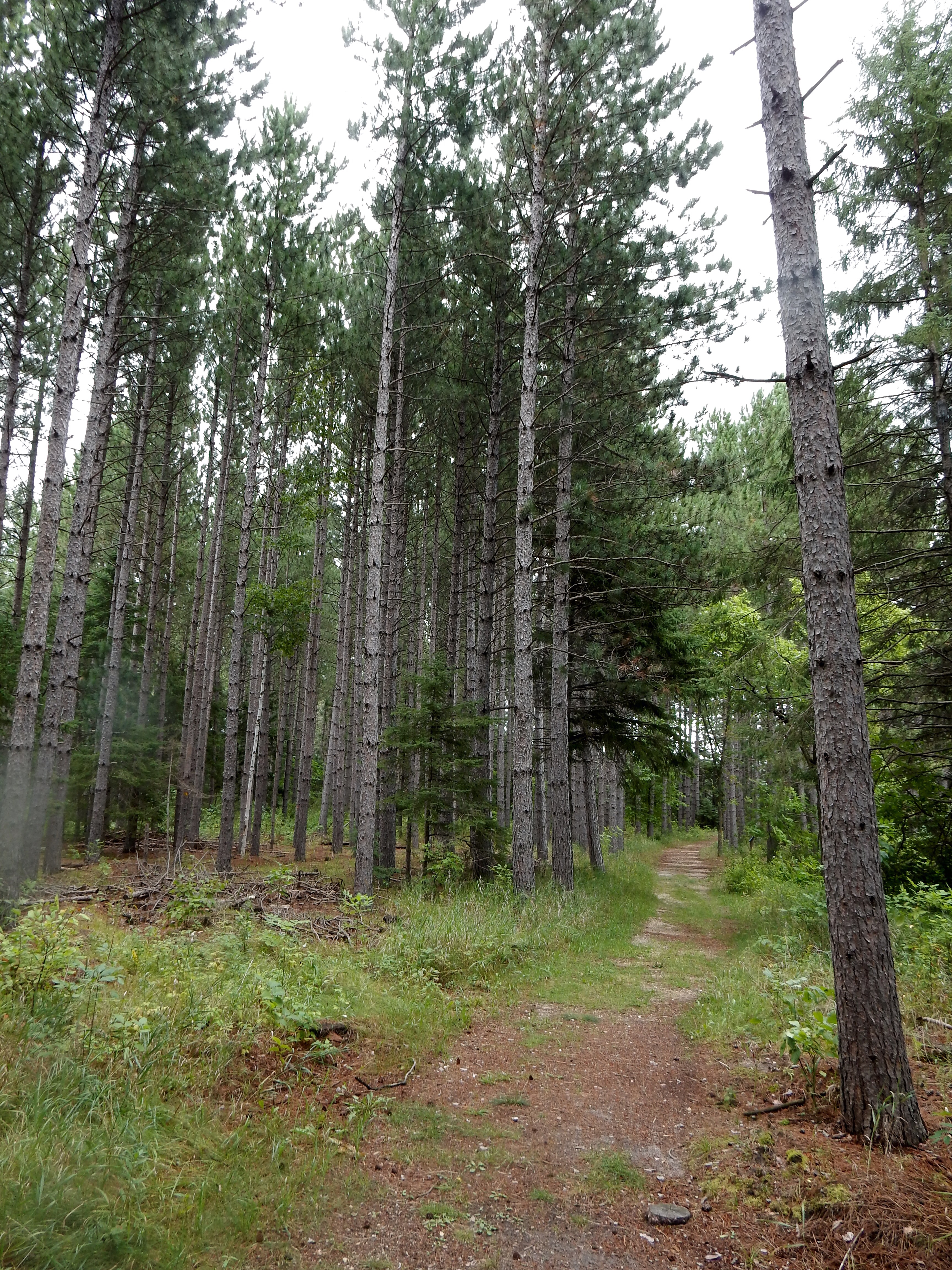
But we persevered and are now enduring fresh mosquito bites in order to bring you new, and exciting (?), experiences. Hayes Lake was also formed by damming a river, the Roseau River versus Two Rivers at Lake Bronson. We hiked along the lakeshore, hoping to spot moose, which are frequently seen in the park. No luck for us. There are still several more days in the north woods before we head home, so maybe all of the moose are waiting for the end of the trip. The hiking trail was level with the pine needles providing for a soft cushion underneath. No tripping on tree roots and rocks here.
Lake Hayes State Park
As we drove from Lake Bronson to Hayes Lake, we encountered more trees and slightly hillier landscapes. Flat agricultural land still predominates, but as we continue east that will change. We are only ten miles from Canada. We expect to be looking across the Rainy River into Ontario and Manitoba over the next four days.
There are 76 state parks and recreation areas in MN. We have visited 23 of them in the last four months. Today in order to make sure we visited both state parks, we even passed by the Kittson County Historical Museum without stopping in. The county was named for Norman Kittson, a pioneer in early MN heavily involved in the ox-cart trains, along with later interests in steamboats and railroads.
Now we are in Roseau, a community of 2,600. Smaller than Thief River Falls and East Grand Forks, but still larger than many of the small towns we have driven through with populations well under 1,000.
Ed and Chris
August 19, 2015


Recent Comments