
Gatlinburg, TN October 13

View from Newfound Gap Road
Beauty and tragedy were intermingled themes for the last two days. We continued our hiking in numerous areas of the park. We even managed to include two hikes that were primarily flat-quite an accomplishment.

Walking in the woods

Walking in the woods
Beauty first. The last two days have been clear with temperatures reaching the mid-70s, although elevation, wind and shade provide for an ever-changing temperature. One of our hikes took us to the top of Clingmans Dome where the park volunteer offered that the vista we saw is only this clear about 25% of the time.
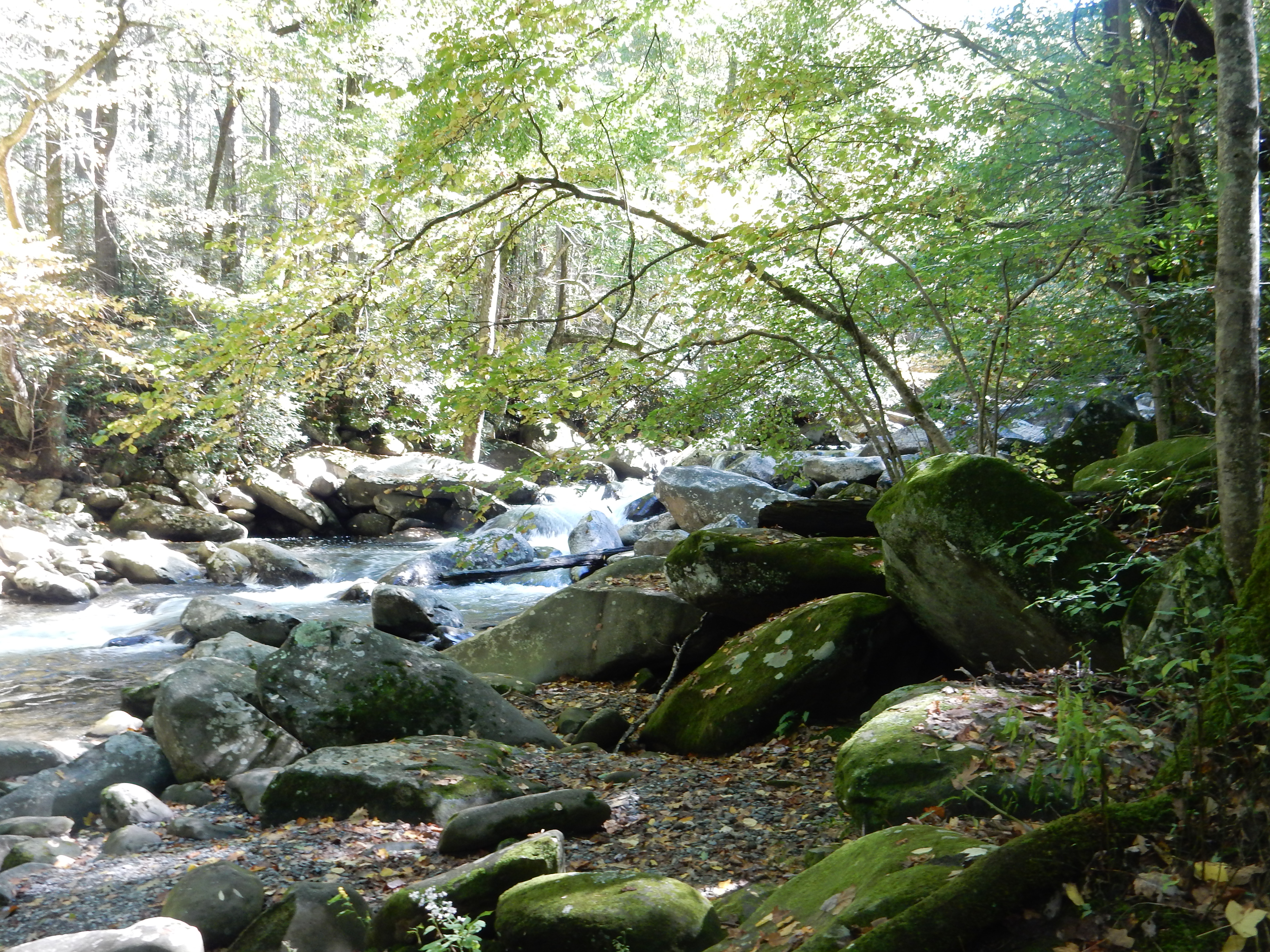
creek side ramble
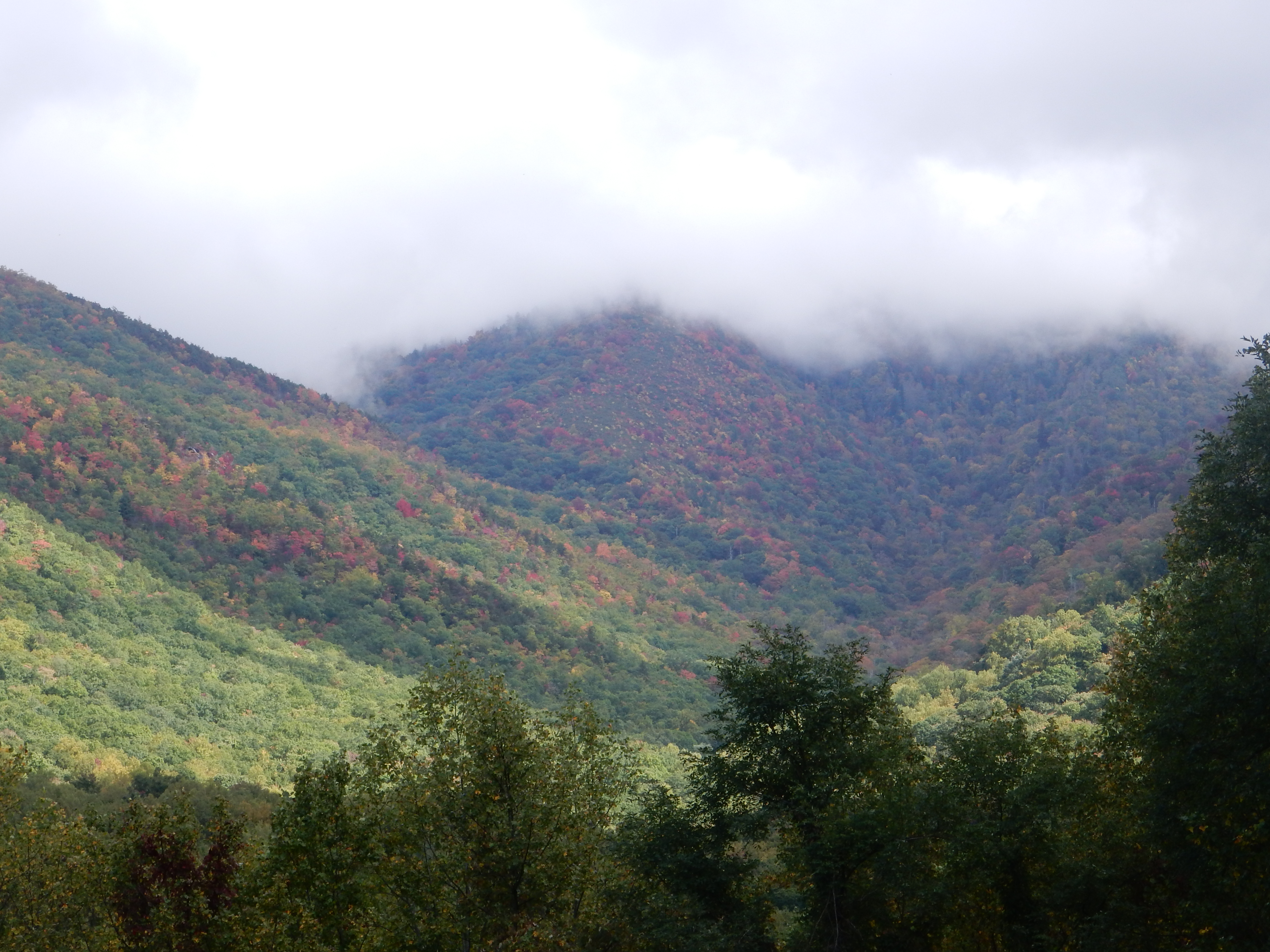
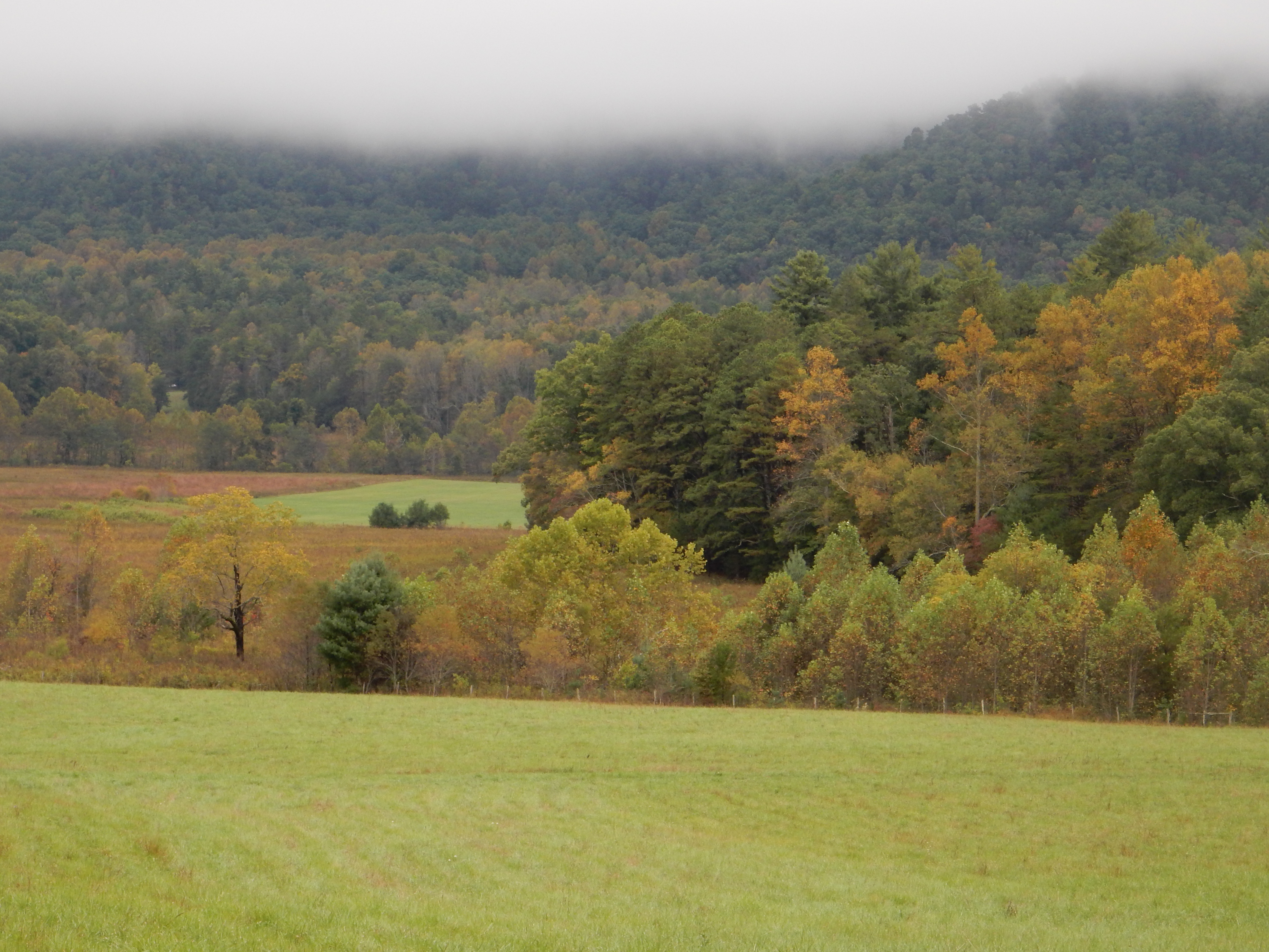
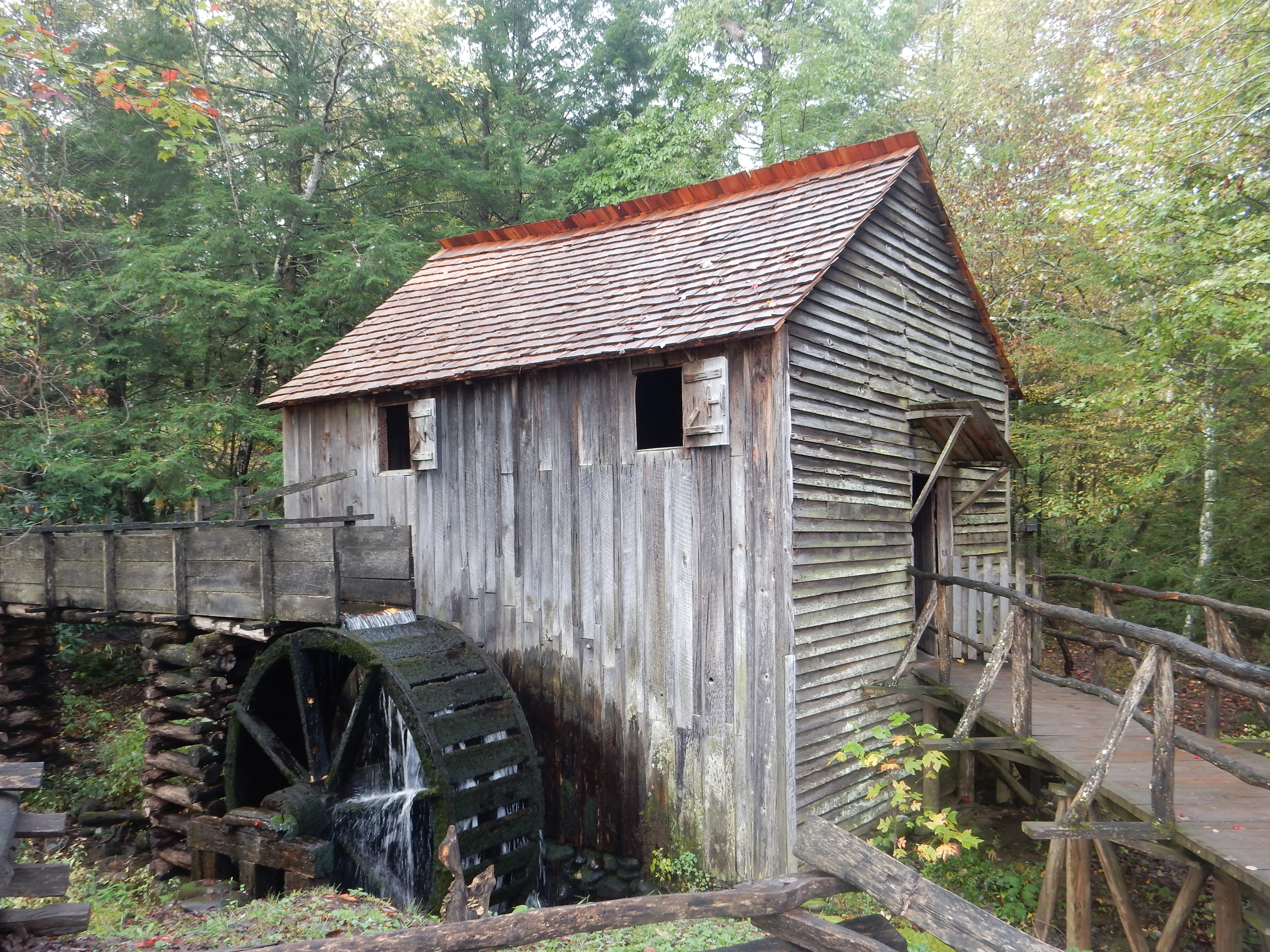
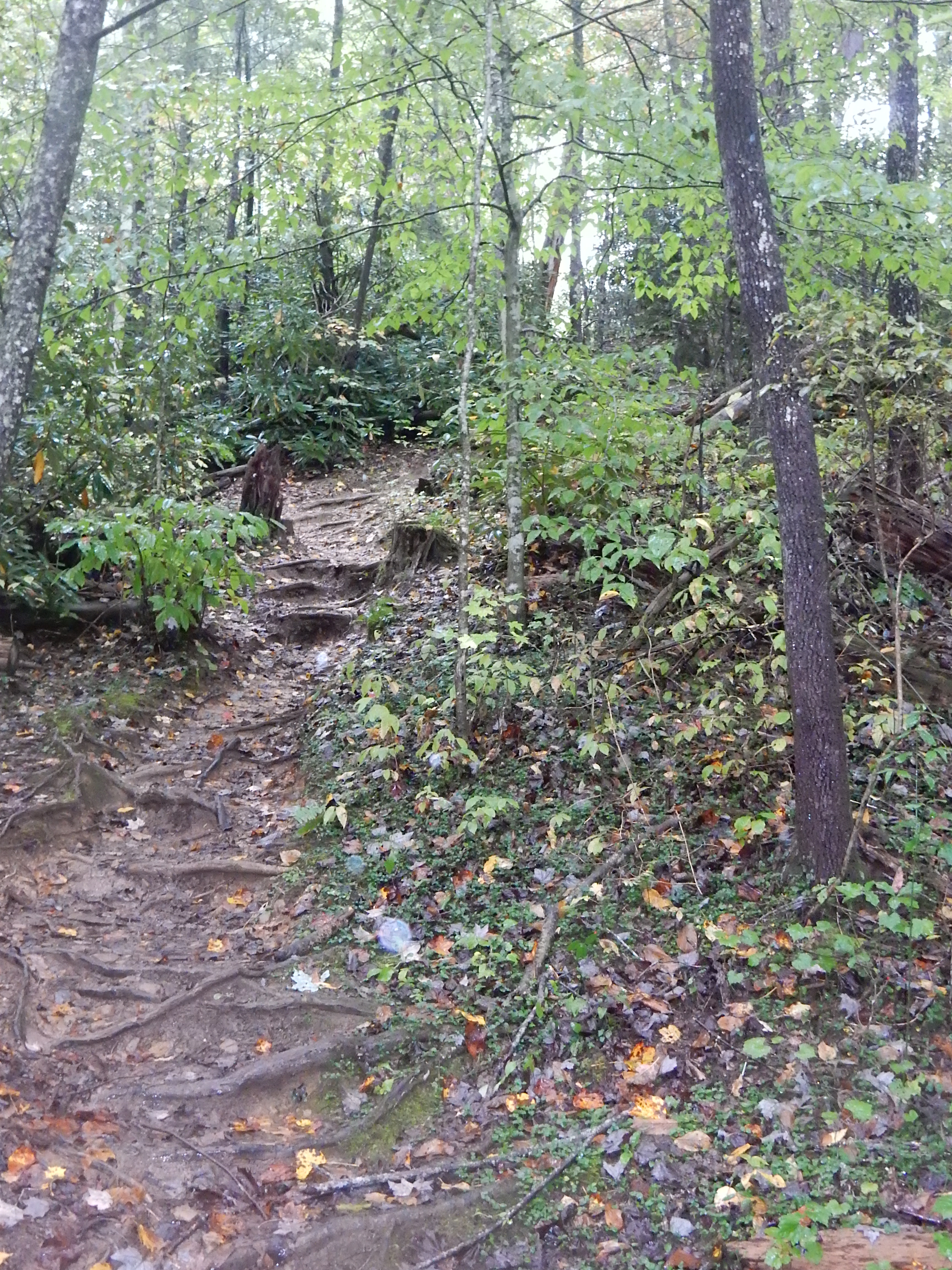
The park that we view, there are hundreds of thousands of acres that are remote and beyond our hiking skills, will have creeks and streams running at a fast pace. The geology is rocky (I will spare the details) so stream beds are dense with rapids and cascades as the water rushes over and around the rocks. The sound of rushing water is pleasant and near constant on hikes. Depending on the elevation, one is hiking in some combination of fir/deciduous trees. Pine smell, rustle of fallen leaves, mixed green/yellow and some red colors mingle among the pathways.

A restful lunch-of PBJ sandwiches
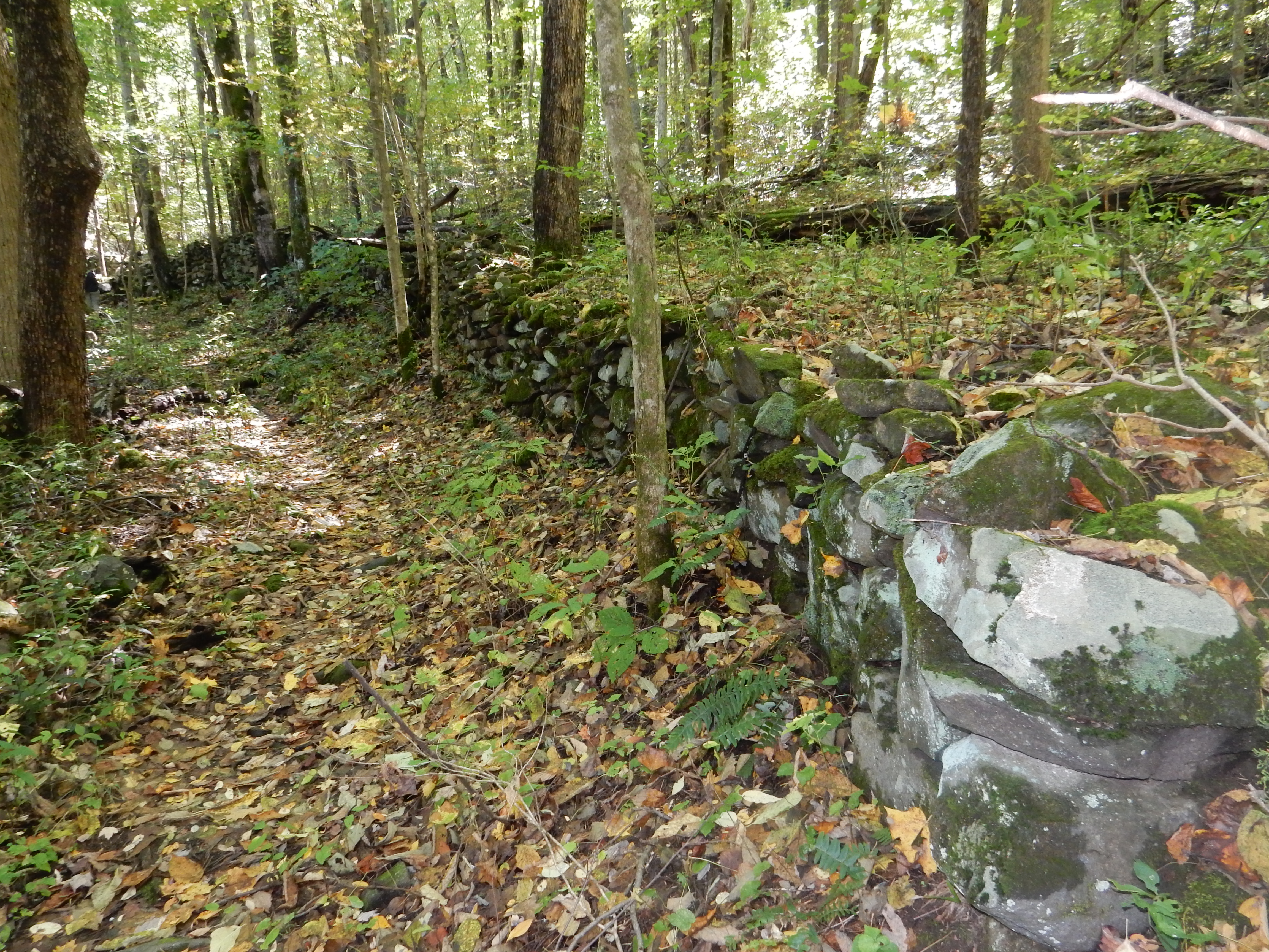
Best preserved stone wall still in the park
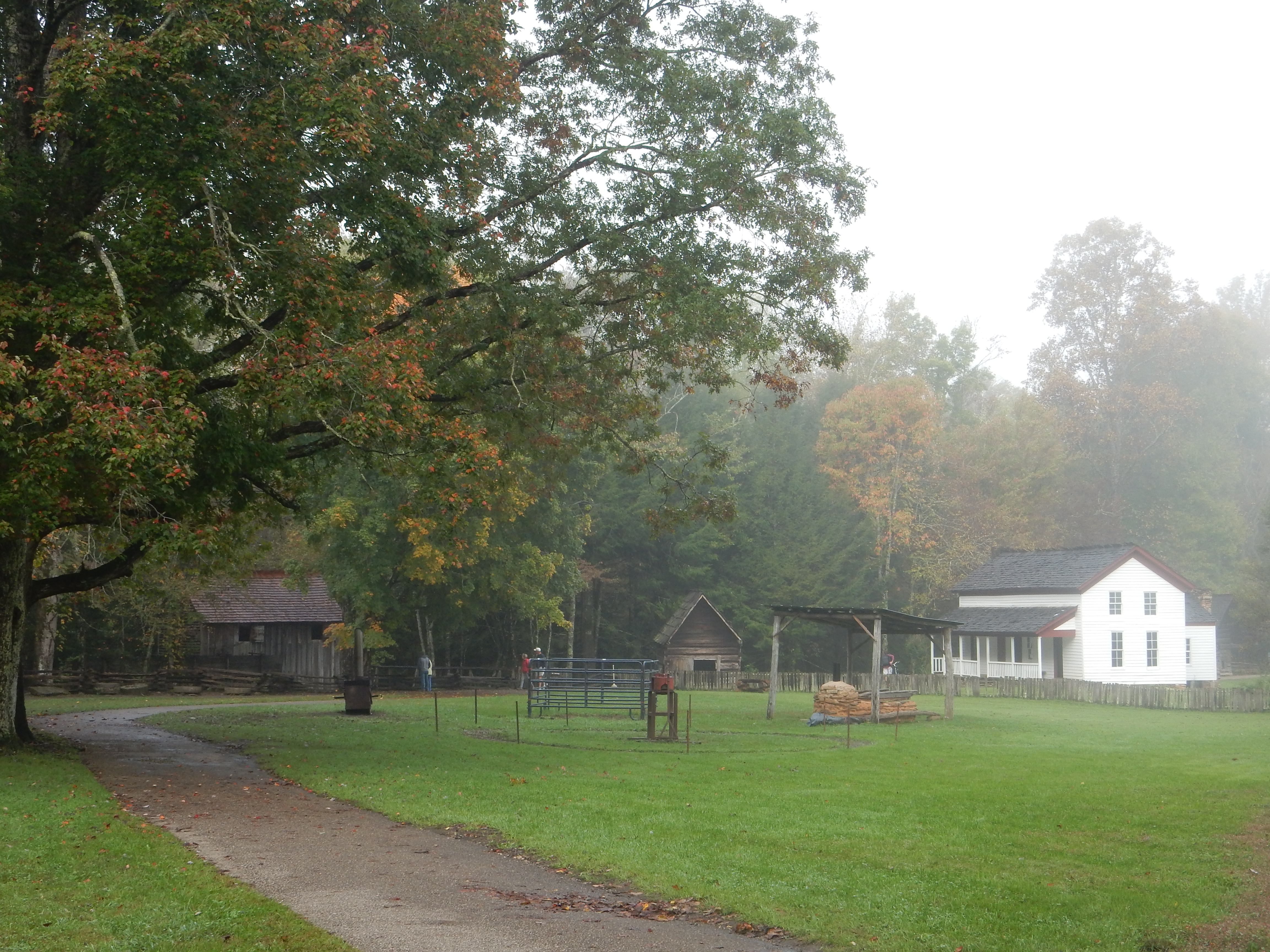
One of our destinations took us to the site of the best preserved stone fences remaining in the park. Lunch today was along the west prong of the Little Pigeon River. We stopped at the Newfound Gap Road overlook twice. Today’s stop at the overlook provided better pictures. At this overlook, you are on the Tennessee-North Carolina state line at just over 5,000 feet above sea level. (Gatlinburg is at about 1500 feet above sea level.) Several of the hikes took us to more waterfalls, pleasant but none of them overwhelming.

Clingmans Dome observation tower
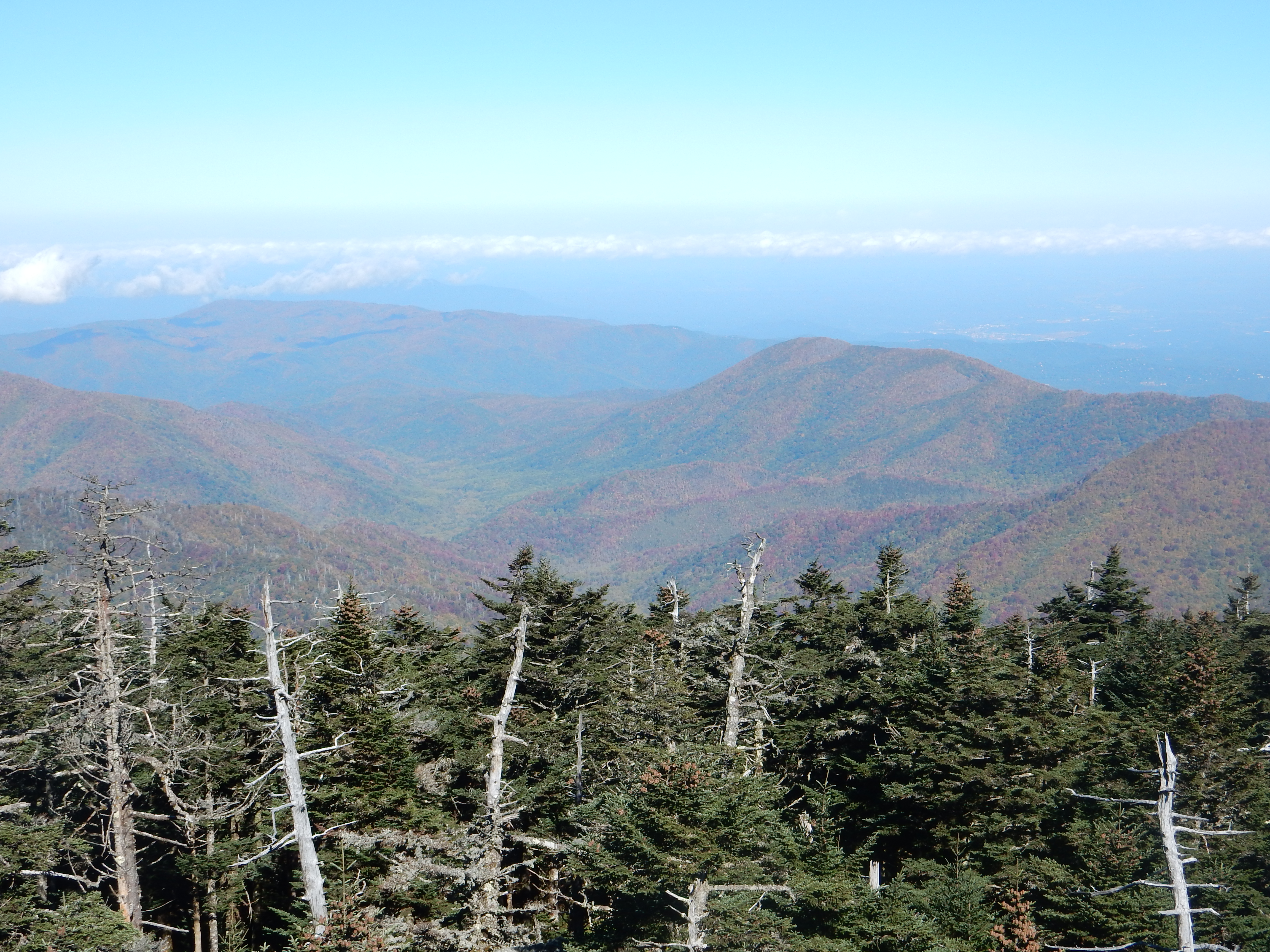
Clingmans Dome is the highest peak in Great Smoky National Park at 6,643 feet above sea level. It is the third highest peak east of the Mississippi River. Due to the boundary of the two states crossing the top of Clingmans Dome, it has the joint status of being the highest peak in Tennessee and the third highest in North Carolina. To reach the peak, one drives seven miles up past the Newfound Gap overlook. The last portion is walking one half mile which gains 330 feet in that short distance. Benches are provided for taking a break periodically. At the very top is a circular dome, reached via an inclined, spiral walkway to provide one with a view above the tree tops. You are also warned not to get your expectations too high for a great view as mist, fog, clouds, and rain are present more often than not.
View from Clingmans Dome

Chris at Clingmans Dome
Today the 360 degree view was spectacular. Vistas in all directions. Some cumulus clouds in the distance. Fall colors visible in certain valleys. Also visible was the damage caused by the balsam woolly adelgid, an aphid like insect from Europe that is killing vast numbers of Fraser firs, one of the predominant trees at this elevation. The park is one of the few areas in the world where the Fraser fir trees grow wild.
Monday, we drove over the mountains completely to Cherokee NC. This entailed driving the Newfound Gap Road twice, usually at 35 mph. This is a 30 mile journey up and over the mountains but while curvy, most of the turns can be handled at 35 mph. The town of Cherokee is the home of the Eastern Band of the Cherokee Indians, and brought us into the tragedy portion of our two days.
The Cherokee Indians were one of five tribes (Choctaw, Cherokee, Cree, Seminole, and Chickasaw) that were forcibly relocated from the southeastern portion of the US to what is now Oklahoma. This forced relocation is called the “Trail of Tears” due to the number of Indians that died along the way and to the loss of their traditional homeland. (Previously mentioned by us on our Nov. 1, 2013 blog post at Fort Smith Arkansas, near the end of the Trail of Tears.)
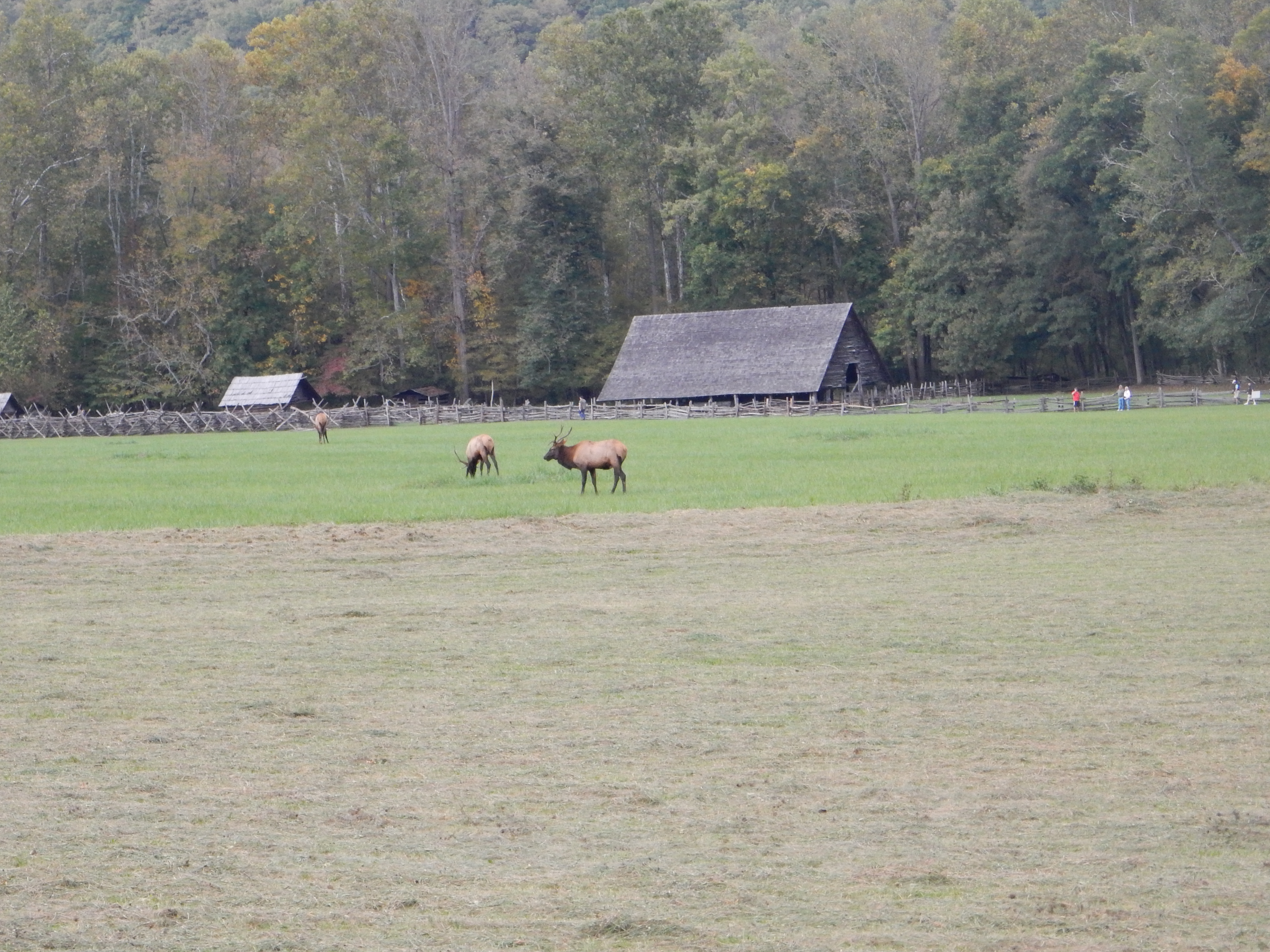
Elk near Cherokee TN
Some of the Cherokee managed to hide out here, some snuck back, and a few stayed after renouncing their tribal citizenship before the Trail of Tears took place in 1838. Over time, the US government began to recognize their rights and as they bought back land, a Cherokee reservation was borne in the East.
We stopped at the Museum of the Cherokee Indian, a well-done presentation that covers topics like Indian creation stories, life prior to the arrival of European immigrants, the Trail of Tears, and the development of the current reservation. One panel discussed the role of Indian schools that forcibly removed young boys and girls from their families and educated them to white civilization standards while forbidding Indian language and traditions from being practiced. This continued until the 1920s and 30s. This was a topic we have come across before, as well as understanding from having lived in Carlisle PA for 25 years, home to one of those Indian schools.
The Cherokees were divided among themselves as to the wisdom of accepting the move to Oklahoma. Many did not wish to leave, many others saw no chance to avoid being forced out, and some ended up signing away Cherokee rights even though under tribal custom they did not possess the authority to do so. This led to decades of conflict among the transplanted Indians living in Oklahoma. (Other Cherokee had moved across the Mississippi earlier in the 1800s.) A sad tale but unfortunately only one of many such tales in America relating to the treatment of Native Americans.
Ed and Chris 10 PM


Recent Comments