

View from Hurricane Hill
Sequim, WA July 21
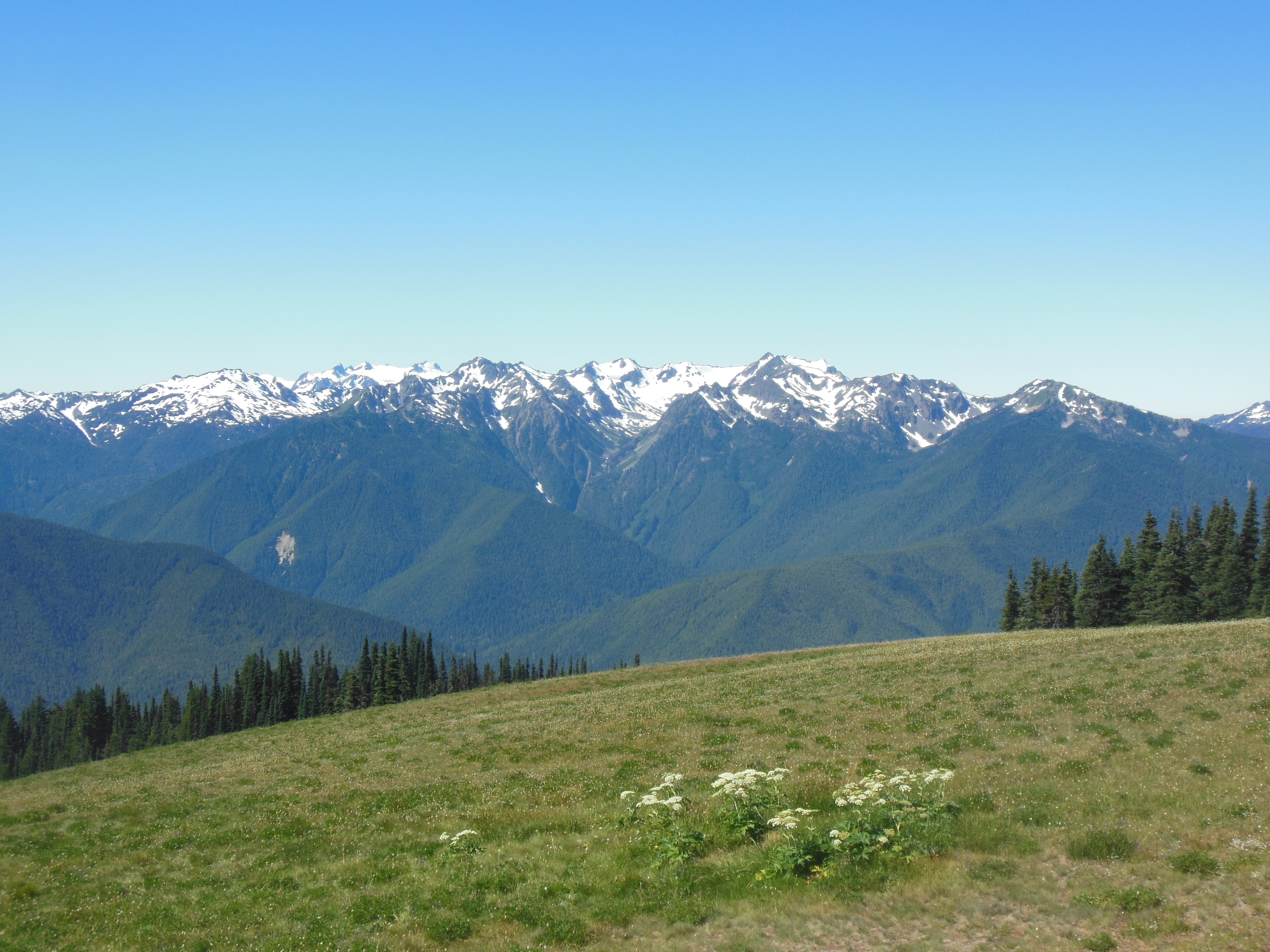
Olympic mountains from Hurricane Ridge

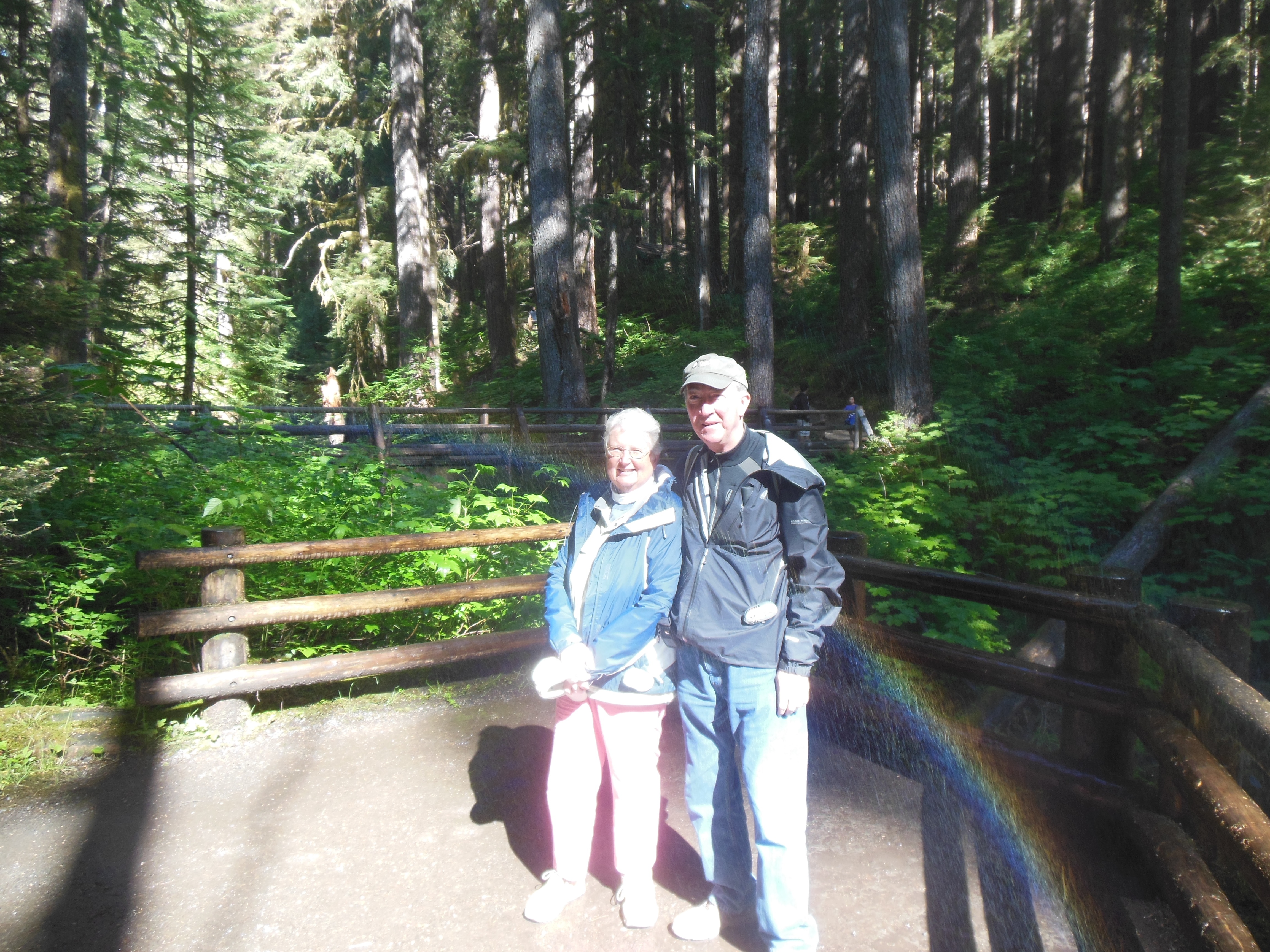
Hiking at Hurricane Ridge

Hurricane Ridge
I forgot to mention,, Sequim is pronounced Skwim. Luckily Catherine Sweeney made us aware of this prior to arriving here Saturday night.
This was our fourth and last day in Olympic National Park and we focused on the mountains today. The morning in Sequim started out cloudy and we had to guess whether the clouds would be dissipated at our destination. We took a chance that they would be and concerned about Sunday crowds in the park, we headed for Hurricane Ridge first before visiting the lavender festival some more.
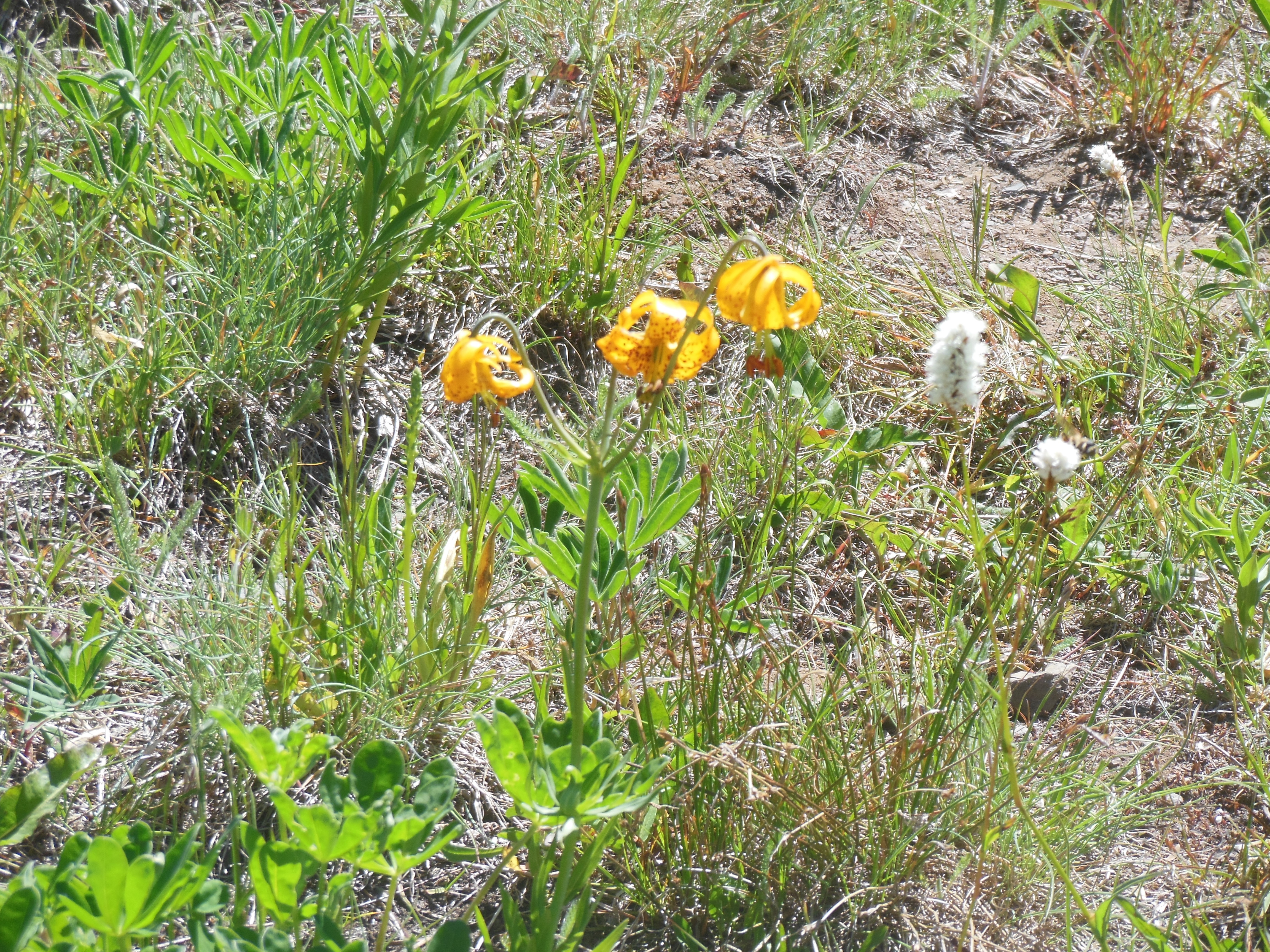
Wildflowers in Olympic
national park

Wildflowers
Our luck has been very good weather wise and today did not disappoint us. Hurricane Ridge is at 5200 feet, Sequim maybe 100 feet. The clouds started to dissipate as we began the climb up the mountain. Of course, our luck was not perfect. We were “fortunate” enough to practice our patience as we drove the 17 miles to the top behind a van going 5-10 miles per hour below the posted speed limit of 35 mph. The van saw no reason to pull over and let others pass so we enjoyed the view which was now cloud free on the mountains. (Clouds still socked in the ocean area.) But we did make it up to the top more quickly than the bike riders.

a cirque-bowl shaped depression caused by a glacier
The highest mountain, Mount Olympus,is “only” 8900 feet but still has snow and glaciers. As with all of the mountains we have visited, pictures clearly show the decrease in glaciers, particularly in the last 30-40 years.

View from Hurricane Hill trail
The wildflowers here were abundant. Which were spring flowers and which summer was not clear to me, I just took photos of flowers and will sort out details later.
The mountain hike traversed several ridges. Chris remarked that one should break out in singing Edelweiss from Sound of Music. She mentioned that to a family walking near us and several of the daughters did just that. Sounded pretty good.
We hiked on Hurricane Ridge and Hurricane Hill. The views are of the mountains, the valleys, and the ocean. On portions of several trails, I had to deal with vertigo and step back from the trail’s edge as the downward slopes are steep.
Leaving the mountains behind, we returned to Sequim and visited the lavender fest. There are huge quantities of various lavender flavored and scented products; drawer liners, sachets, bath salts, misters, soaps, etc. Sorry, but we did not buy anything to give away to our friends and relatives. We did have some local ice cream. Chris tried a sample of lavender flavored ice cream but chose strawberry instead for her cone.
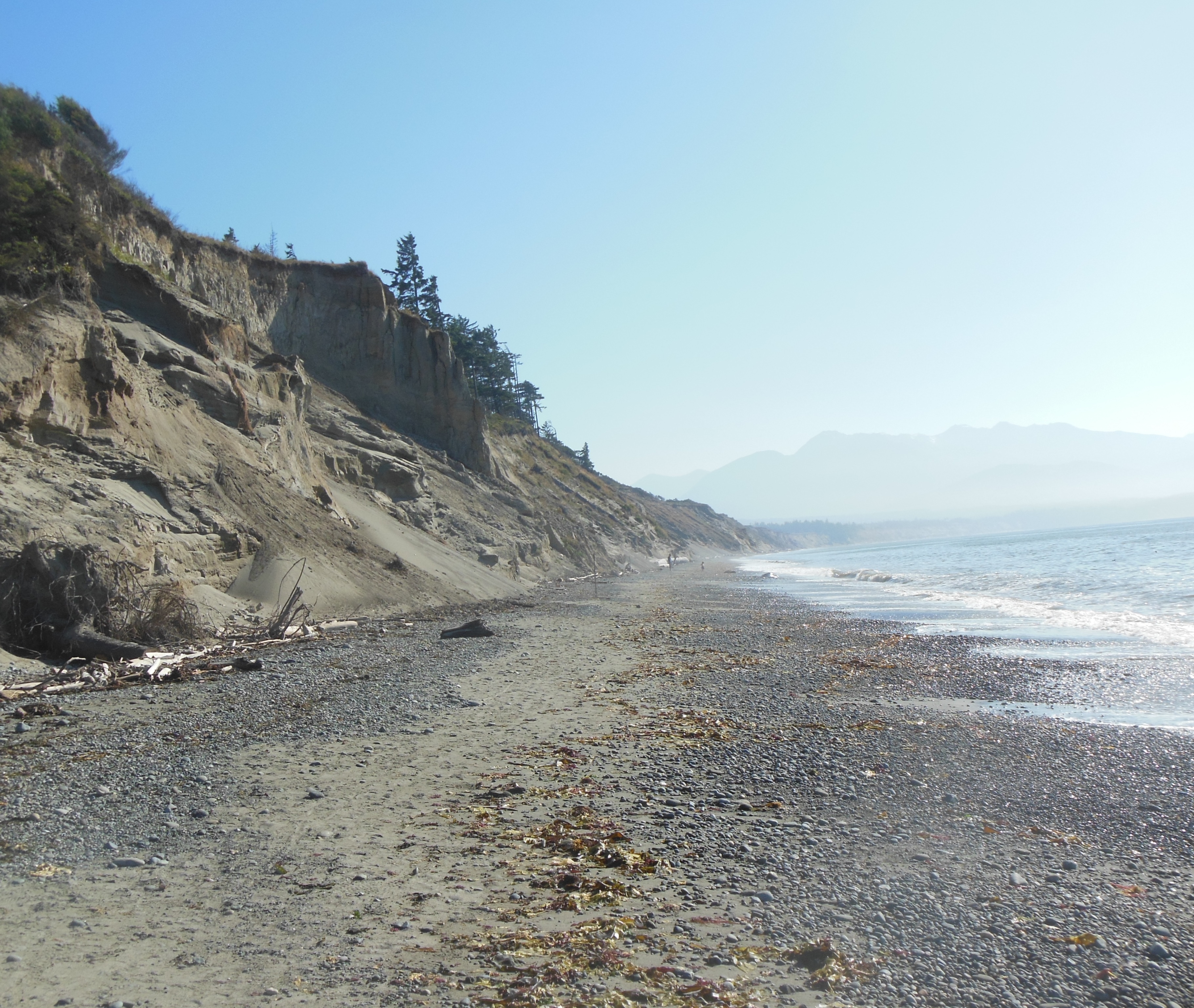
Beach at Dungeness Wildlife Refuge
We did not see any lavender flavored hot chocolate but since we had tried that in Santa Fe when we visited Jude with Sarah and Deb a few years ago, we clearly knew that was not a winner.
Our next destination was the Dungeness National Wildlife Refuge. This has been around for 100 years and is right next to Sequim. Part of the refuge includes the longest natural sand spit in the U.S. There is a lighthouse at the end of the spit but it is a 10 mile long hike out to it. We were advised not to try it today since the high tide was coming in and we would be trapped or worse. Shucks, that 10 mile hike was the highest hope for the day! We had to settle for a one mile hike to the beach and back. You can feel sorry for us. This short walk had the highest concentration of mosquitoes we have experience yet this year-although the flies were pretty thick on Hurricane Hill.

Dungeness spit
Dinner was at a local restaurant and then we returned to our hosts to do a load of wash and more discussion. Interesting people who have an active life and gave us lots of ideas for own future and how to stay active once this year is over.
Monday we are up early to catch the 8:15 ferry to Victoria, British Columbia.
Ed and Chris July 22, 6 am


Recent Comments