
Raton, NM. 5/24/16
The Distribution Hub of a Young America. That is one description of Fort Union National Monument.

Fort Union National Monument, NM
We are on a two night, three-day swing through northeastern and north central New Mexico. Fort Union is one hundred miles northeast of Santa Fe by interstate. For once, we were happy to leave behind two lane roads at 45-60 m.p.h.and zip along at 75 mph. We are still in mountains, the elevation is usually somewhere between 6 and 7,000 feet above sea level. Once again, the terrain changes. Santa Fe scrub brush and small pines changes to full-grown trees east of Santa Fe in the mountains to change again to wide, grassy fields good for feeding cattle and horses. There is probably 50 times as many cattle and horses in the fields here compared to northwestern NM. The fields just look much richer, not grassy fields like the Midwest, but still fuller than previously.

Another view of Fort Union
Fort Union is a preserved, but not restored, Army post dating from 1851 to 1891. It is located at the confluence of two branches of the Santa Fe Trail. The mountain branch went over the extremely difficult to cross Raton pass which was desirable for its safety from Indians and better water supply. The Cimarron branch had water shortages and Indian raids but was shorter. Both routes had heavy traffic once Mexico opened the area for settlement after its independence from Spain. When the US won the area in the Mexican-American War, oxcart traffic and settlers increased tremendously. The US Army was charged with protecting them.

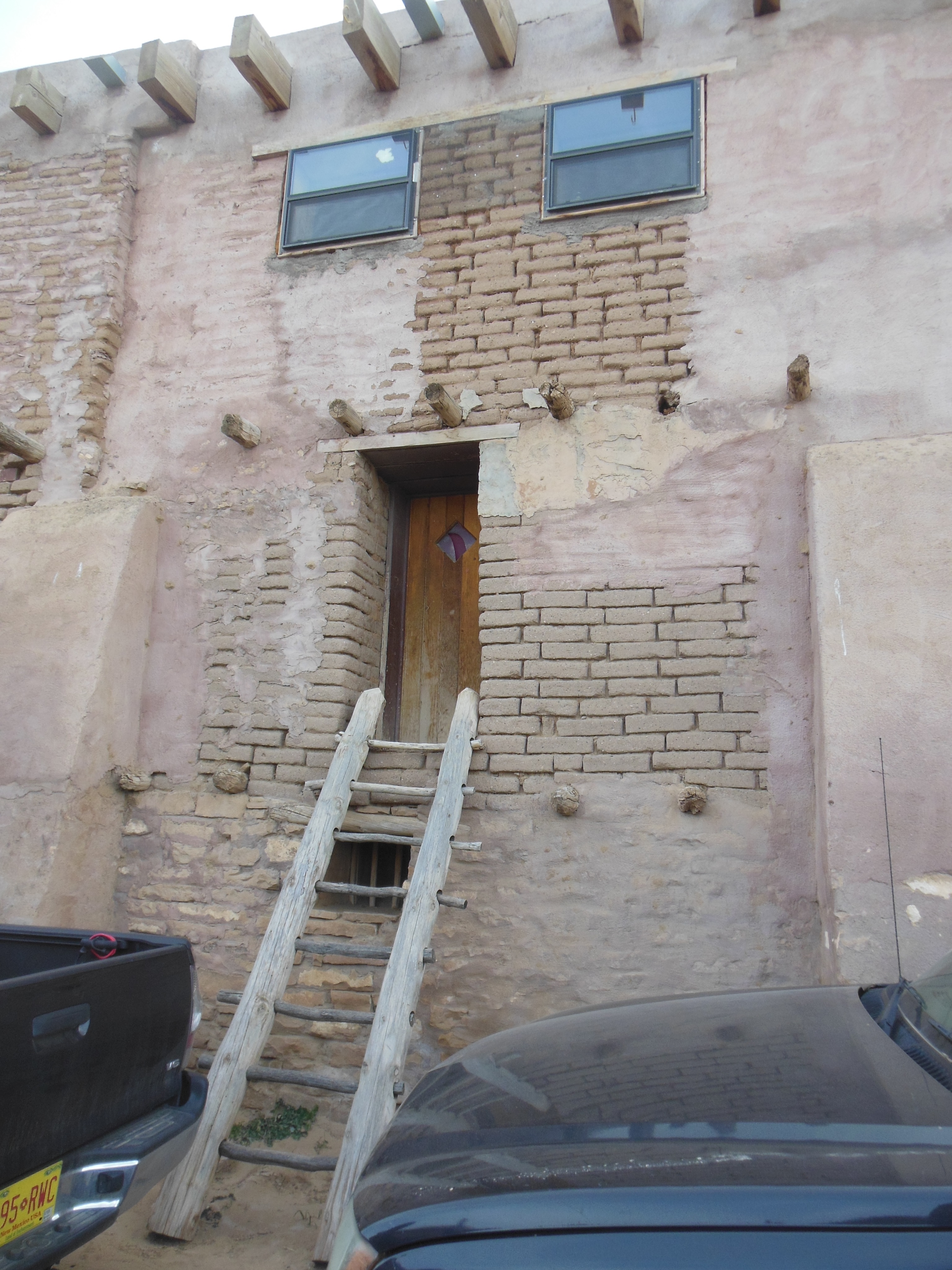
Walls of the storehouse area of Fort Union
During the Civil War, Fort Union troops helped to repulse Confederate attempts to control the Colorado and California gold fields. After the Civil War, until the railroads finished their lines into Santa Fe and Albuquerque, Fort Union once again protected the settlers and wagon trains. Wagon trains that might be lined up three or four wagons abreast as they traveled along the Santa Fe Trail had to merge into one line as they reached the fort where they had to be inspected and registered before proceeding on to Santa Fe.

Hospital at Fort Union
But Fort Union was more than just a military post protecting against Indian attacks. It served as the quartermaster supplying 23 Western forts with materials. Fort Union was the largest military post in the 1800s Southwest frontier. The fort was clearly divided into two separate compounds (post and quartermaster), each controlled by its own military command. It had a 24 bed hospital that served civilians and military.
The fort influenced the local area. Supply depot work had been done in Santa Fe previously but now this area out on the high prairie was growing food for the people and animals stationed at the fort, or traveling through to Santa Fe. While the fort boomed, farmers had a ready market for their crops and hundreds of civilians worked on wagon repairs, laundry, blacksmithing, clerical functions for the quartermaster, etc.
When abandoned in 1891, the fort was just left to sit. Over time, residents of the area raided the fort for building materials, etc. It was not until 1954 that it was made a national monument. The act creating the monument specifies that the NPS is to preserve but not restore the fort. Our visit took us around the two compounds where displays and building foundations give a feel for the immensity of the operation here 140 years ago.

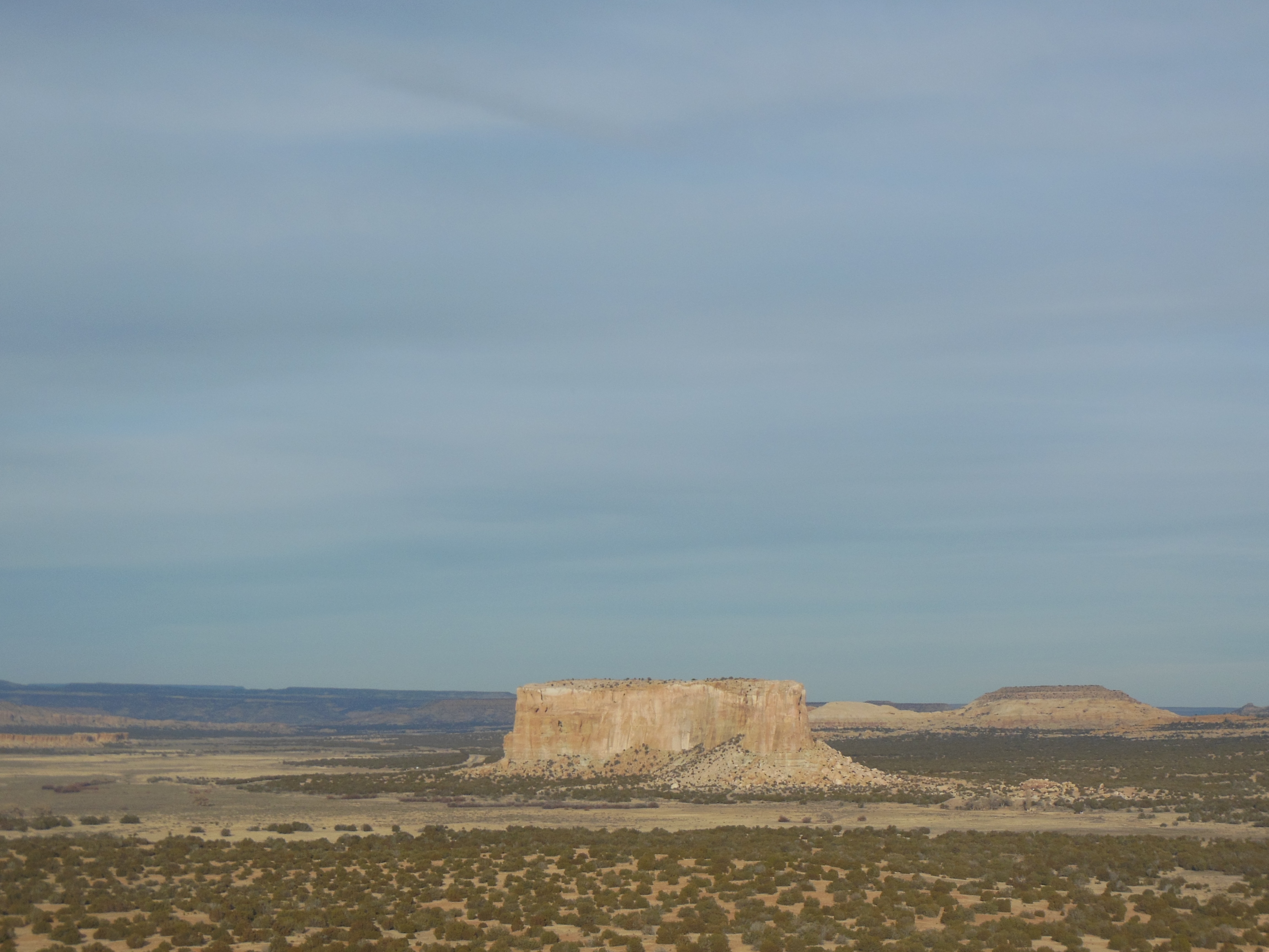
View from picnic table at Maxwell National Wildlfie Refuge
Maxwell National Wildlife Refuge was our second stop and a bust. The visitor center was not open (it was supposed to be open) and few trails were listed for hiking. We had a picnic lunch and moved on. Raton was just 30 miles away and I was afraid we would be bored for the remainder of the afternoon.

Maxwell National Wildlfie Refuge
I wanted to stop at McDonald’s for a Coke and fries. Chris was not ready for food. We agreed on a compromise, the Raton Museum. It seemed like a typical small town museum, with collections of various local related topics. It would have been ho-hum and a 10 minute visit except for the Collections Steward who gave us a personal hour-long tour of the museum with a narrative that was both insightful and detailed.
A few items that we learned are:
A. Raton was founded due to the Atchison, Topeka and Santa Fe need for a rail yard after its trains went over (or before they went over) the 7800 foot above sea level Raton Pass.
B. The area is rich in coal. While no mining occurs now, the coal supply here could be mined yet for hundreds of years. Mining, in company owned towns, made and broke several towns in the region.
C. One of those company towns, Dawson, was owned by Phelps Dodge who recruited new immigrants fresh off the boat. Two major accidents here killed 263 in 1913 and 123 killed in 1923. Dawson is now a ghost town, the company razed the buildings.
D. Raton used to have 12,000 people. Now it has 6,000. The closing of the mines, the closing of the rail yards, the closing of ARF Electronics, etc. had left the town in difficult shape. Over 800 homes are for sale.
E. The Amtrak station here is the busiest in the state, due primarily to the Philmont Boy Scout camp located west of town by Cimarron. Many of the 22,000 scouts who come here in the summer arrive via Amtrak.
G. The Colfax county war went on for 13 years as people who had settled on land owned by Lucien Maxwell were being evicted as squatters despite what had been seen as an oral agreement to sell the land to the settlers in return for years of paying 50% of the crops to Maxwell. The Maxwell side eventually won.
We had a great time listening to the stories attached to the items on display. The Collections Steward made us realize the depth and color that lie behind many small towns. One can, and we have, jump to quick conclusions about a community based on a quick drive-through. No photographs were allowed, sorry.
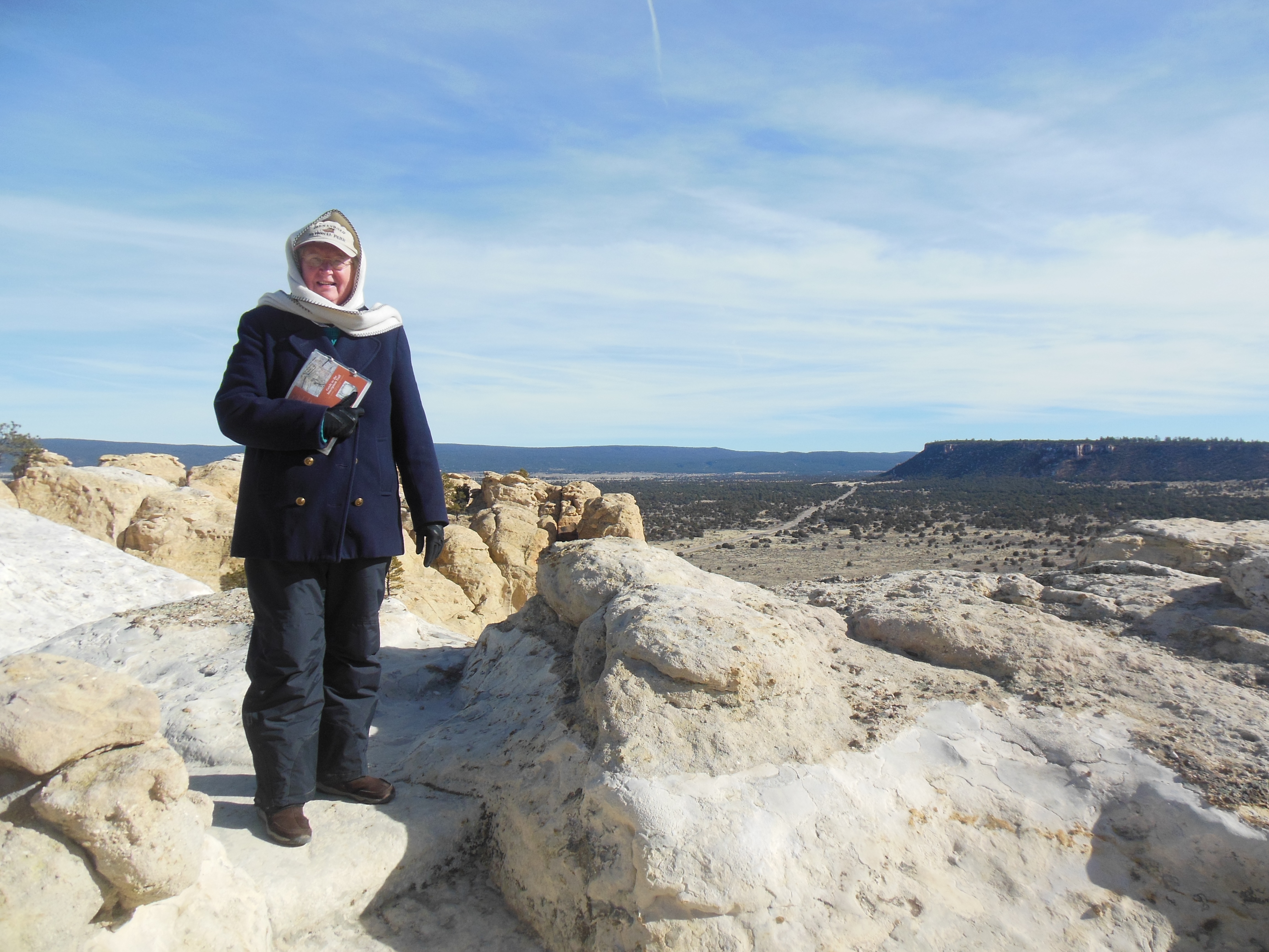
Ed and Chris


Recent Comments