
Tuplelo, Mississippi. March 10, Friday

Birthplace of Elvis Presley in Tupelo MS
Yup, we are down South. Civil War, William Faulkner and Elvis Presley. Since we left home, all of the states we have traveled through have less population than Minnesota. That will continue with Alabama. Just a tidbit.
One can not truly know an area by a quick drive through the state. But a few items struck us. We were impressed with the quality of the roads in northern Mississippi-other than the right turn lanes which are too short to have any value. Smooth, frequently four lane. Towns seem more prosperous than rural areas. Oxford MS is a pretty college town with cutesy shops. Tupelo surprised us with a large medical center and plenty of business and industry. Arkansas had two rest centers marked closed “For Remodeling”. Since we did not see any signs of remodeling, we went online to read that the state was closing a dozen or so rest areas for cost saving measures. Deceptive signage???
I understand people are thrilled with the open spaces of the prairies. However, it was nice to drive into southwestern Missouri and northwestern Arkansas and view trees and almost mountains.
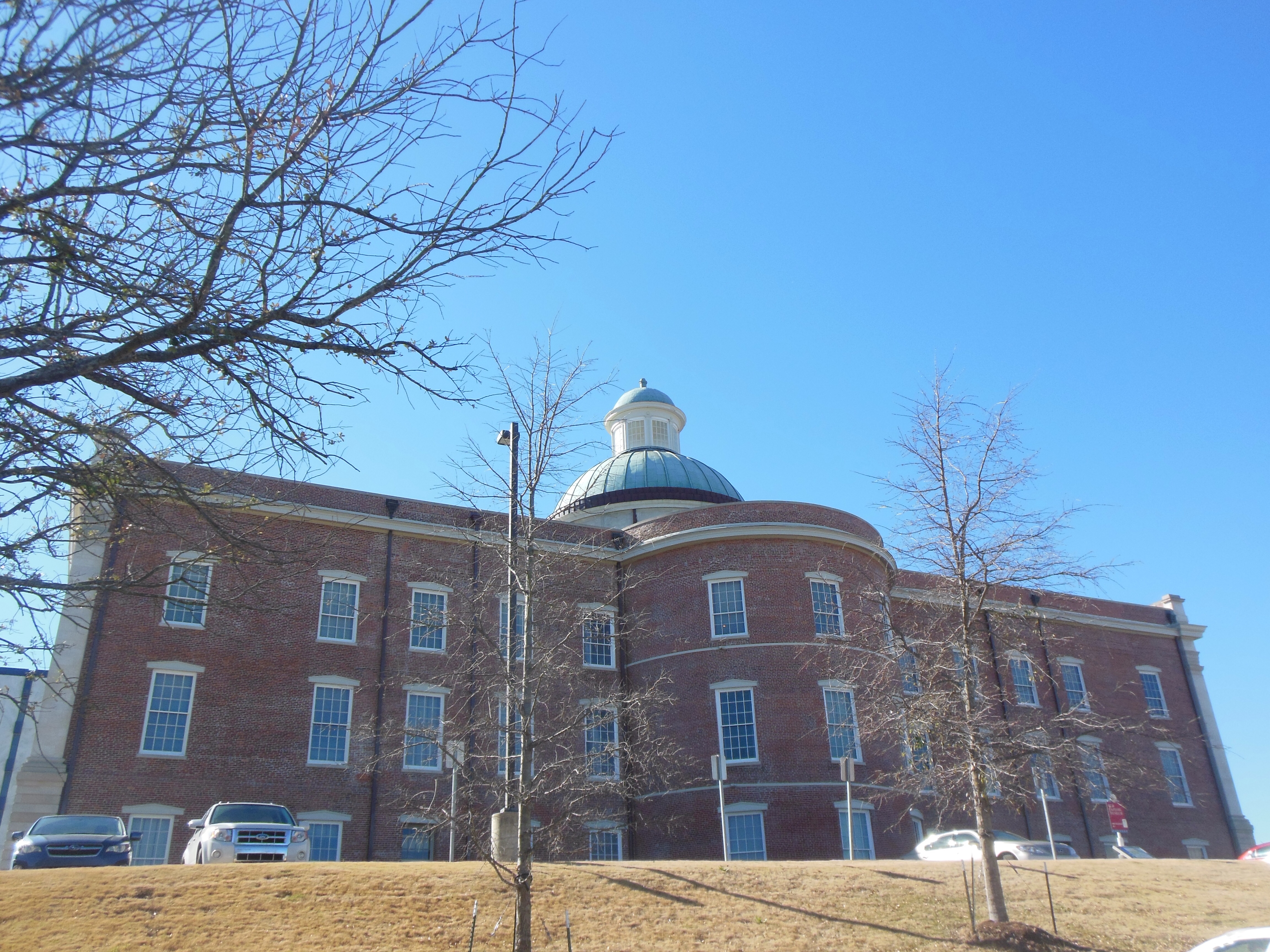
Thursday we left Forrest City Arkansas and our destination was Tupelo MS. We stopped at Oxford Mississippi, the home campus of the University of Mississippi. Ole Miss has 24,000 students. The census must not count them since the population for the town is listed as 20,000. Maybe a census person can enlighten me.

Rowan Oak in Oxford MS, the home of William Faulkner for 30 years during his major writing period.
Oxford was the home to William Faulkner, who lived in the house called Rowan Oak from 1930 until his death in 1962. His daughter sold it to Ole Miss who maintains it to this day. When we visited it, there were Italian scholars going through the house. Faulkner, as you probably recall, received a Nobel Prize for Literature in 1949 and the Pulitzer Prize in 1954.
Rowan Oak only offers a self-guided tour. Frankly, unless you are into Faulkner, it could be skipped. We much preferred the tour of Carl Sandburg along the Blue Ridge Parkway which we toured when we visited the Great Smoky Mountains. The house is not remarkable other than his use of it. Two curiosities: by the phone are numerous phone numbers written directly on the wall; in an upstairs writing office is an outline for one of his books also written on the wall. Evidently the wind kept blowing away his papers.

Our cabin home for two nights in Tombigbee State Park
We made our way over to Tupelo. Our lodging for the two nights was a bit of a risk. We have a cabin in Tombigbee State Park. Reviews were mixed but the location was near to Civil War sites and Chris likes to try state parks. My take is that it was a reasonable choice; it is large, has a screened in porch, and a full kitchen although we have not used it much. The water is hot but I definitely believe the bathroom could be cleaner. The price was only $75 per night although tomorrow’s Hampton Inn is only $10 more. Luckily it has heat, tonight’s temperature will go down into the 30s. Most days have been up in the 60s and 70s. The cabin is on the shore of a lake, the frogs and birds can be heard early and late. Thursday night a storm came through but tonight is clear with a pleasant sunset and a moon to shine on the water. The screened in porch has a swing which we used during the day.
After dinner Thursday night, we drove by the birthplace of Elvis Presley. When we booked this area, we had forgotten that Presley was born here and lived here for his first 13 years. We did not pay for the tour, the area is open to the public for viewing after hours.
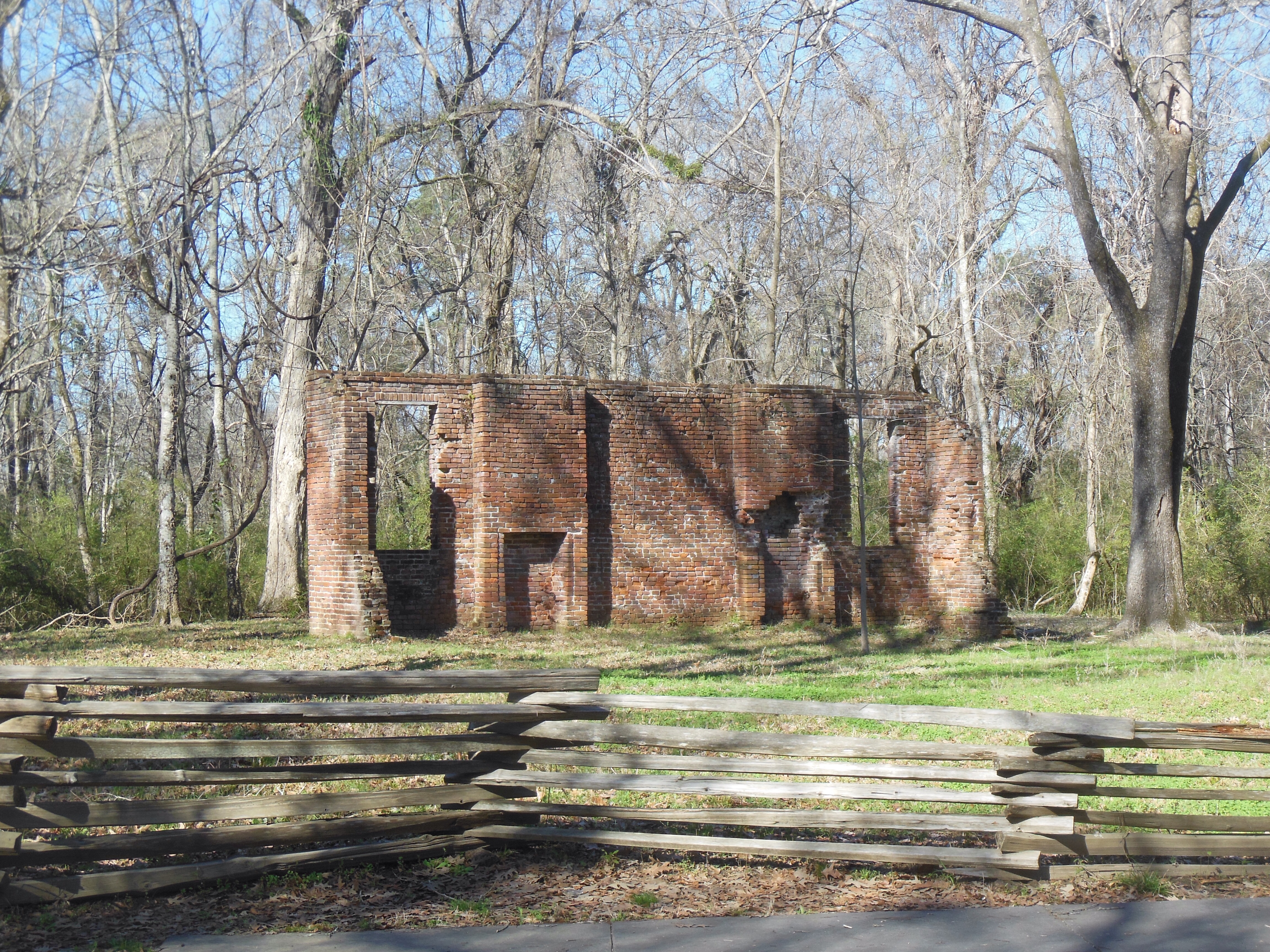
Friday we drove up to Corinth MS, very close to the Tennessee border. Corinth was a strategic railroad crossing for two main tracks going north-south and east-west that tied the Confederacy together. The major battle of Shiloh in April 1862 was fought with a high percentage of untested soldiers. The North was driving down from the Ohio River in its goal to split the Confederacy in two.
Over two days of battle, with the advantage going back and forth, the Union forces eventually prevailed and the Confederate forces retreated the 20 miles to Corinth. In a two-day battle in early October the Confederates had re-grouped and attacked Corinth. The result was similar, the Union forces prevailed. The Confederate generals had predicted to Richmond that if they lost Corinth, the South would lose the war. Correct.
The Union controlled Corinth until January 1864. The town was basically destroyed as the Union forces burned public buildings when they marched out. Over the two years that the throng of soldiers was based here, they made a mess of the town. More than 100 battles, skirmishes, and raids occurred in the area.
When the Union forces won, the town also became a refuge for slaves, or as they were known at the time, “contraband property”. The Union established a camp who housed 3,500 refugees who fed themselves, had literacy classes, and delivered soldiers to the Union Army. The food and cotton grown by the former slaves not only fed the camp but turned a profit that was sent on to the federal government. The camp resembled a small town, complete with a church, commissary, hospital, and homes.

The water feature at Corinth Battlefield National Historic site visitor center
The Corinth visitor center was a marvel. Three excellent films, numerous clear displays, and brochures for further information. It has a water feature monument that represents the history of the U.S. with symbolism and words showing the Declaration of Independence, the first 13 states, the expansion of new states with the conflicts these caused, the major battles of the Civil war, and the re-unification.
The next two locations were downers. Brice’s Cross Roads was about a battle in June 1864, after the Union had left Corinth. The battle was a tactical maneuver by the Union to bring back Confederate forces who were heading east to harass Sherman on his march to the sea. Although the Union forces lost this battle, they succeeded in stopping this group of Confederates from fighting against Sherman. But the battlefield itself is small, few signs, and just one side of a brochure to discuss it.
The final site was Tupelo battlefield Monument. This we knew in advance was just a monument, stuck on a piece of ground along a busy highway. Why it even made it to an official National Park Service site is beyond me. It was but another skirmish, among many, where the Union forces kept the Confederates busy here instead of marching east. But we drove by and got a picture without being rear-ended by a car behind us on the road.

Hiking along the Natchez Trace
One other stop was a visitor center along the Natchez Trace Parkway. The parkway is 444 miles long and recreates an early foot traffic route used by American Indians and then early settlers who transported goods along the Ohio and Mississippi rivers to the port of New Orleans. River currents prohibited their boating back home so they walked back. This process lasted until the growth of steamboats. The parkway was a project begun by the Daughters of the American Revolution. It was declared a unit of the National Park Service in 1938 but not completed until 2005. We took an hour hike on a trail across from the visitor center.
As they say in the South “Have a blessed evening”.
Ed and Chris. Tupelo MS. March 10


Recent Comments