Bemidji, MN August 14, 2015
Well we are “Up North” in Minnesota, currently in the lakes and forest region around Bemidji. Later on we will be out on the prairies of the Red River of the North, finishing up by following the Rainy River (the boundary between Canada and the US) over to International Falls, home to Voyageurs National Park. Voyageurs was our original destination but we thought we would include the NW corner of MN which we had not visited previously.
Lakes and trees and rivers are much of the beauty of the area. Most tourists fish and swim in the summer, hunt and ski/snowmobile in the winter. We will do our usual of hiking/biking, touring historic sites, go on a few industrial plant tours, and get out on the water at Voyageurs.

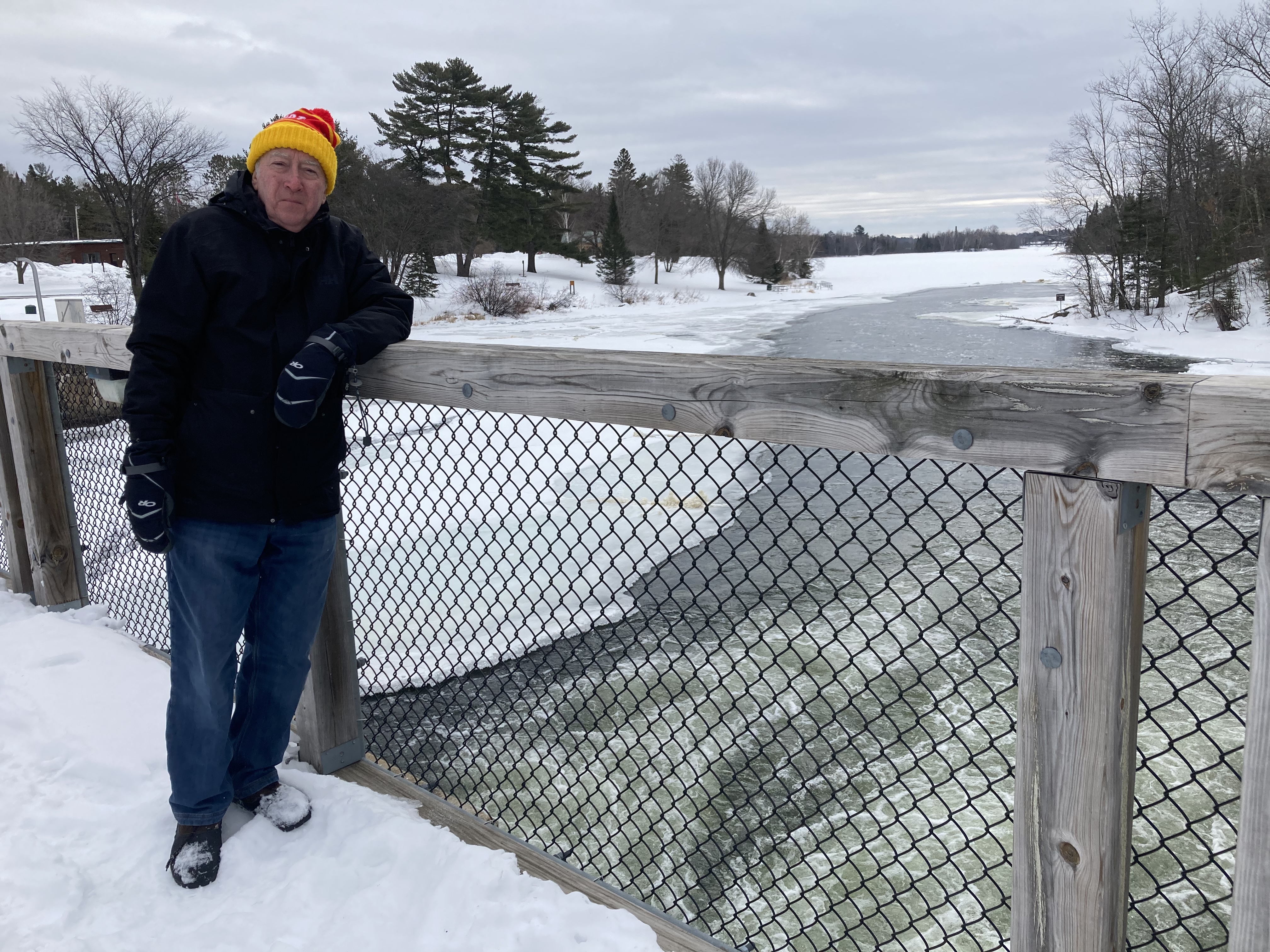
Paul, Ed and Babe in Bemidji MN
Bemidji is 225 miles from St. Paul and we arrived here just after lunch time. We sacrificed lunch to go on a 90 minute bike ride at Lake Bemidji State Park and on the Paul Bunyan State Trail. Bemidji is “Home” to Paul Bunyan and Babe, the legendary lumberjack and ox. It is also a town of 13,000 people; the largest northern MN town between Grand Forks at the ND border and Duluth at the WI border.
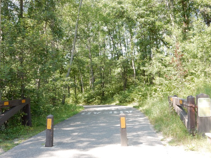
Part of the bike trail
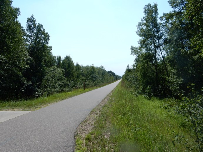
The sunny Paul Bunyan Trail
Lake Bemidji State Park has bike rentals which even include a helmet that you can keep. We took them, even though we had brought our own along with us. The weather today was hot (90 degrees) and sunny. We justified only biking for 90 minutes due to the heat. Dinner was at Brigid’s Cross Irish pub in downtown Bemidji, great food (hunger may have impacted on that evaluation) with a group of four local musicians providing entertainment.
This part of MN was settled by European immigrants late in the 1800s, around 1890. Logging was the first driving force for settlers, followed by the railroad (James J Hill’s Great Northern). Bemidji grew, partially due to lobbying to make it the county seat, and partially due to friendships between town settlers and James J Hill. The settlers convinced Hill to change his original planned route which would have gone south of Lake Bemidji to one directly through their town site. Then flour magnate John Pillsbury had lumber lands back north of the lake and they had to construct a feeder railroad to bring his lumber down to his mills in Brainerd and in Minneapolis.
In any event, there was enough lumber to make several people rich. Between lumber and railroads, the early town prospered. Today lumber is still a major economic force, along with higher education and tourism. The lakes in this region are home to numerous resorts and fishing is a major sport.
Well before the Europeans, the Dakota lived in this area. In the 1750s, the Ojibwe drove the Dakota south and west, taking over this part of MN until the Europeans arrived. Once again, through broken treaties and land fraud, the Native Americans were removed to reservation lands-much of which was later stolen from them. Today three main reservations are in this area, although much of the land is still owned by whites. The Leech Lake Reservation, the Red Lake Reservation, and the White Earth Reservation.

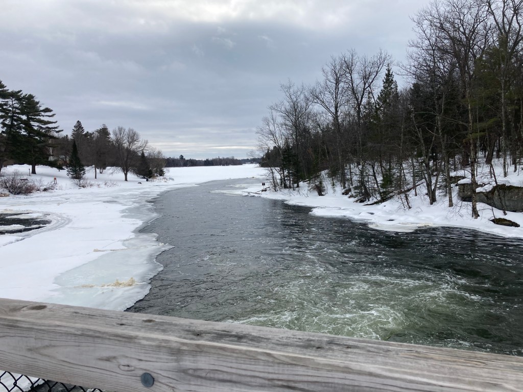
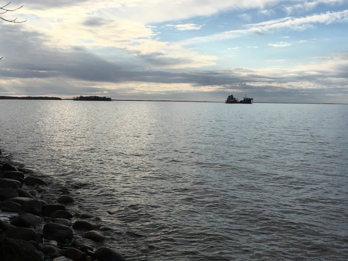
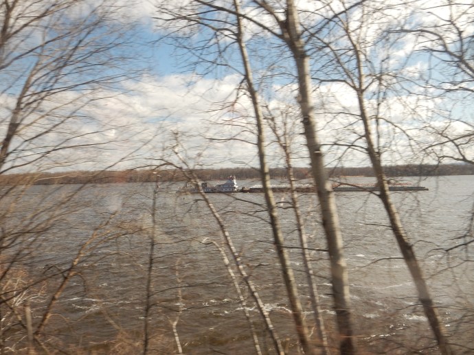
The Mississippi River flowing out of Lake Bemidji
The Mississippi River headwaters are only 30 miles away at Lake Itasca. When the river reaches Bemidji, it flows through the lake, entering on the west side and exiting on the east side. Bemidji actually means lake with crossing waters in Ojibwe. The river is not dramatic in scope here, resembling many other small rivers.
August 15
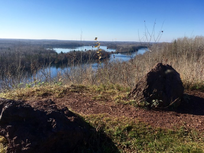
We were wilderness hikers today, out in what may be Minnesota’s last true wilderness area. You were probably thinking of the Boundary Waters Canoe Area or maybe Voyageurs National Park. If so, you would be wrong. Big Bog State Recreation Area. More than likely you have not even heard of it. It took us over an hour to reach it from Bemidji.

Big Bog State Recreation Area
Big Bog is 50 miles long, 12 miles wide and almost completely uninhabited. It is the largest peat bog in the continental United States; i.e., excluding Alaska. You might think of it as the Everglades of the North. It contains enough water to cover the entire state of Minnesota to a depth of two feet (per the Park Ranger).
The Big Bog dates back to Glacial Lake Agassiz 10,000 or so years ago. As this area warmed up and the glacial waters receded, the glacial drift left in this area was relatively flat. The vegetation here is primarily peat and sphagnum moss as the base material. Black spruce and tamarack trees are here, usually in stunted form due to the acidic water.
Our walk was primarily on a special boardwalk. Walking on the vegetation kills it and regrowth is slow. The boardwalk is about 10 years old and was experimental at its time of installation. The posts are drilled down into solid footing, which varies from 3 to 14 feet. The grates are a plastic material, and the construction was undertaken by extending out new portions from the section just completed. No construction equipment drove on the bogs.

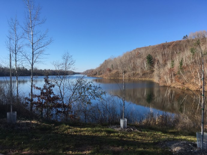
Site of a failed canal in Big Bog State Recreation Area
Technically a bog is a nutrient poor, slightly acidic wetland characterized by sphagnum moss. It has less plant species than fens. (I hope that clarified things in your mind.) Our walk started in an area with enough short trees to be shaded. It progressed to being able to see the hillock areas covered in moss and grasses with fewer trees, until at the end, the view was primarily of waving grasses growing out of the soft moss/peat on undulating ground. Water was sometimes visible, many times not. Evidently the moss is like a huge sponge, soaking up the water.

Big Bog State Recreation Area
At the park headquarters, there is an aerial map that was very helpful. From the air, one can see islands of slightly higher elevation where trees tend to grow. The flow of water is quite visible primarily in the wavy lines of vegetation but also in the flow of certain water channels. In between are lighter colored areas of grassy vegetation.
This area is uninhabited for a reason. Man could not conquer nature. Those European settlers thought this would make great farm land. Ha! Efforts to drain the bogs failed. Even today one can see where the failed drainage channels were dug. The acidic soil meant that the trees here were not valuable to lumberjacks. Individuals lost their shirts in homesteading and in major commercial ventures. Abandoned land went back to the counties for unpaid taxes.
The counties sold bonds to construct the drainage canals and hoped to repay the bonds from land sold for farming. Part of the area seceded from one county and set up its own in order to avoid the debt. When the canals did not work, the county debt was taken over by the state in exchange for the land so the state was stuck with it. It was not until the 2000s that the area was made into a park, partly to offset lost tourism when Upper Red Lake walleye fishing went into a slump-from which it has since recovered. Thus, the area is not agriculturally viable, not forestry viable, and not viable for much of anything but attracting people like us.
There is supposed to be wildlife like moose in the area. We did not see any. This is a major birdwatching area, sandhill cranes, eagles,etc; we did not see those and were not blown away by what we did see. We did see insect-eating pitcher plants. BUT, lest you misunderstand, the trip was great fun and amazing. We had no concept this existed. Seeing miles of waving grasses, the up close view of the moss, seeing man’s effort to conquer nature defeated (much like the Okefenokee Swamp in GA). If interested, I did find two other newspaper articles about Big Bog you might find more interesting than mine. The Star Tribune of July 24, 2014 and the New York Times of June 13, 2008.

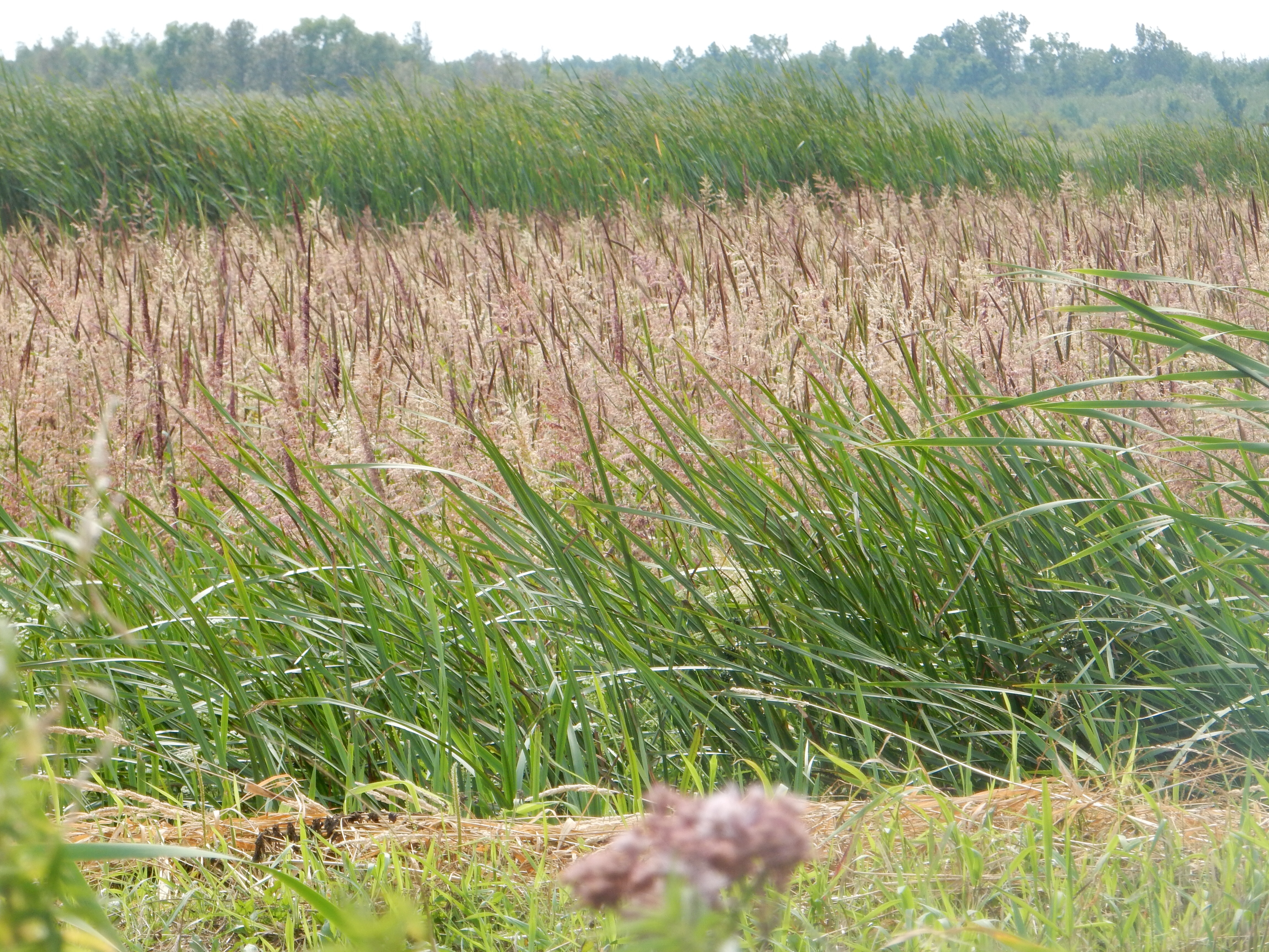
Wild RIce
While in the area, we went out exploring on back roads and came across numerous fields of wild rice. This was our first time that we knew we were seeing wild rice growing. We stopped by the beach at Red Lake, the largest lake totally within the borders of MN and the 14th largest non-man made lake in the U.S. I climbed the fire tower at Big Bog (137 steps) for a view of the area.
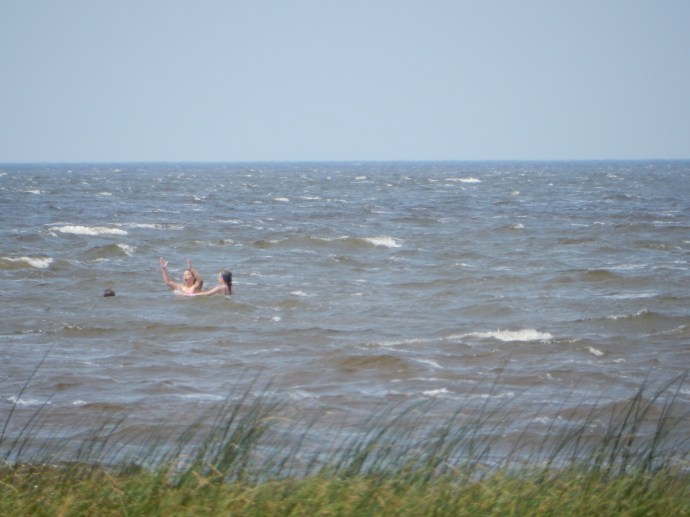
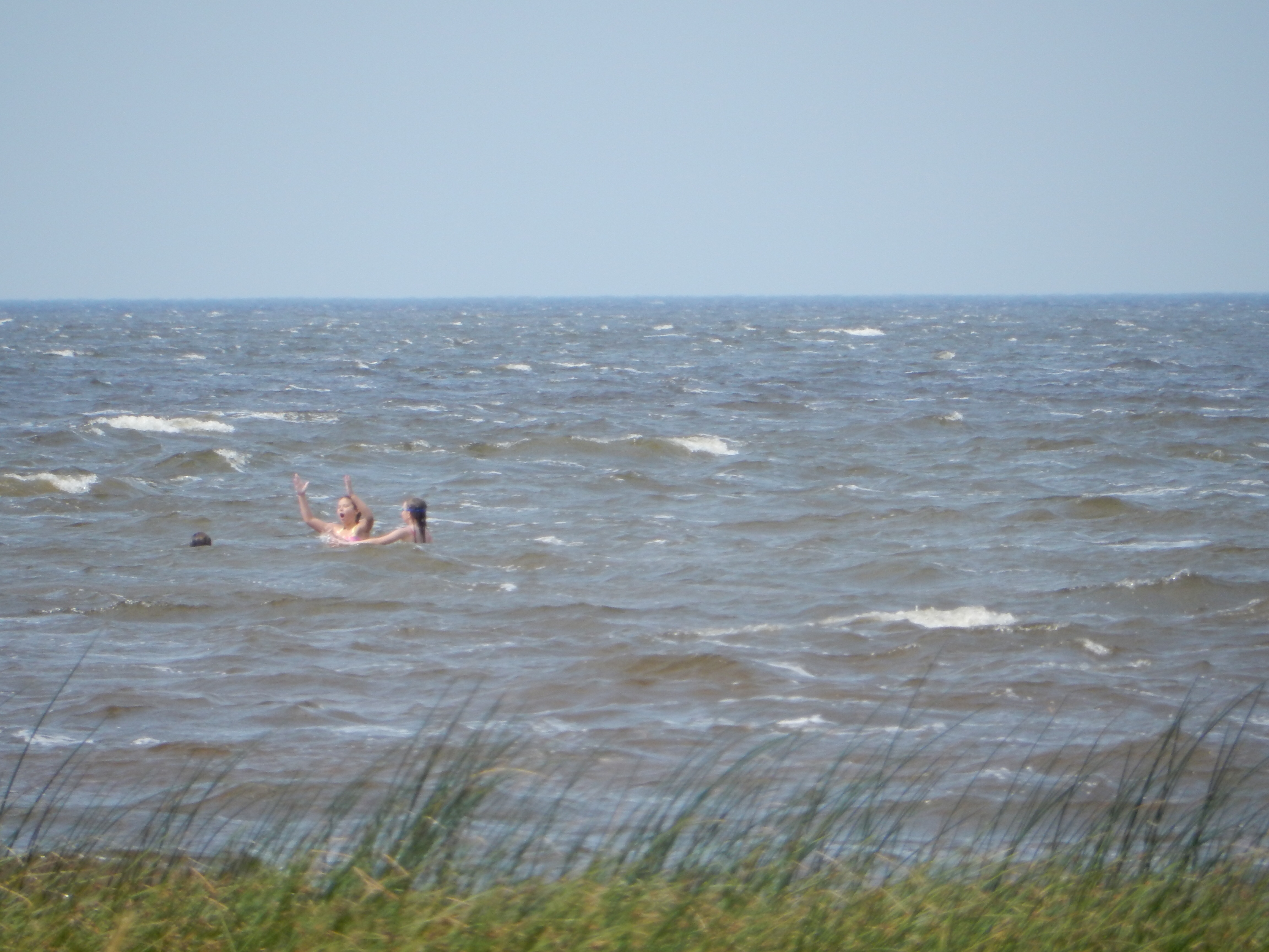
People swimming in Red Lake
Now remember we are in a remote area; this bog area is practically uninhabited. So for lunch our options were limited. We ate at the West Wind “Resort”, the only game in town, so to speak, of the town of Waskish, the nearest town to Big Bog. The interior was standard northern MN; log paneling, trophies mounted on the walls, Twins banners, and the bait shop was just across the parking lot. But the burgers were great, the onion rings and wild rice soup quite good.

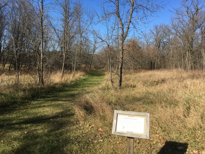
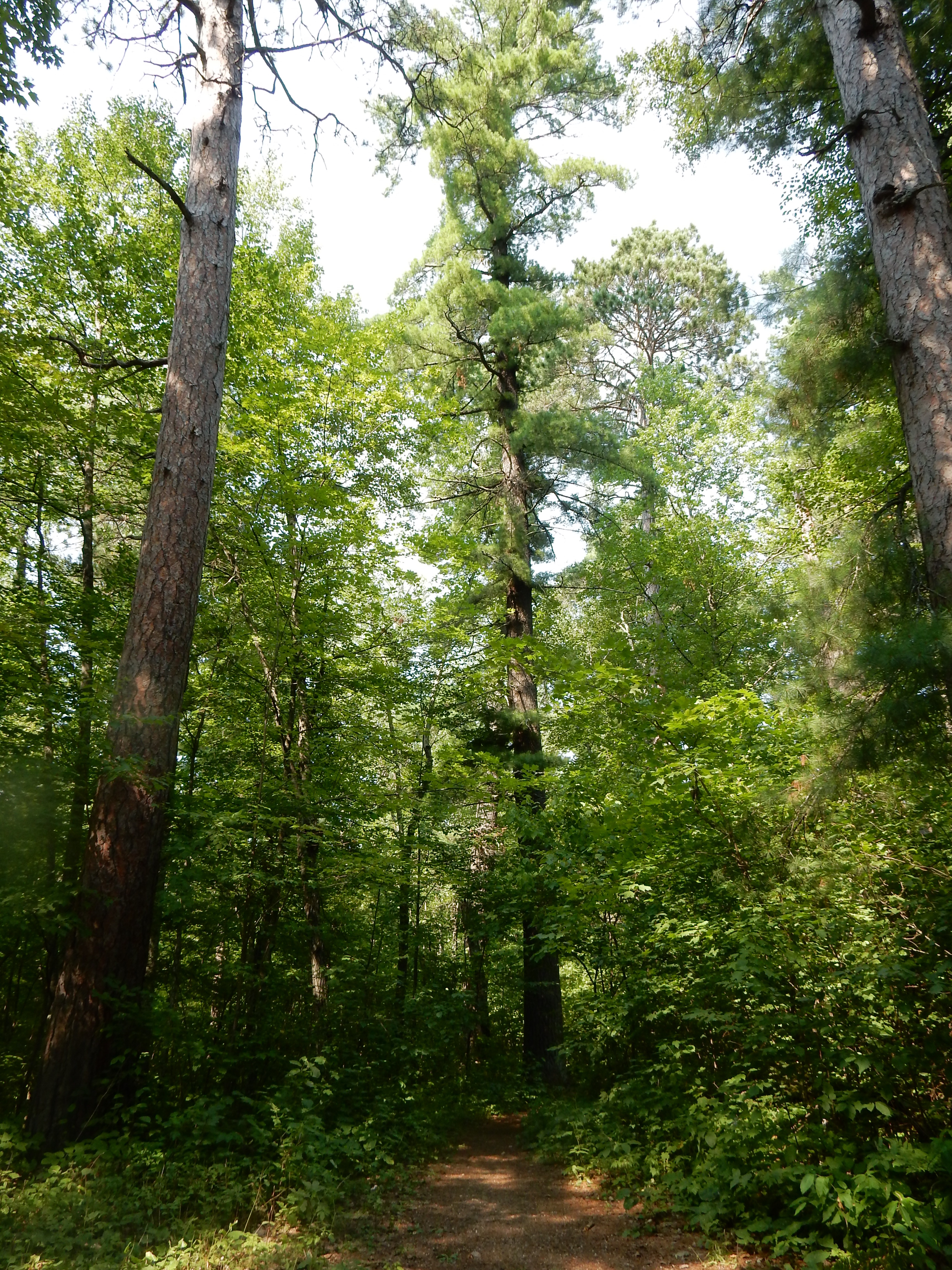
Part of the Lost 40
After lunch, we hit another remote area; a result of inaccurate surveying. The Lost 40 refers to an area where the lumbering whirlwind of the late 1800s missed some of the largest trees around. The surveyor for the area made a mistake and plotted this parcel of land as water and swamp, so no lumber company bought it. When all of the large red and white pines trees around were cut down, this area remained. Today it provides a rare glimpse into what old growth MN forests looked like over a hundred years ago. Not redwood or sequoia size, but impressive nonetheless.
After returning to the Doubletree here in Bemidji (very nice with a great breakfast) we showered and went to church. (A full house.) For dinner lets just say we did not make the best decision and leave it at that. The group at the next table complimented Chris on her dress (her Hawaii purchase) and then warned us that one of our next towns was a real “wasteland”. We will leave it nameless until we explore it in person.
Bemidji seems nice. I know, one makes these superficial judgments but that is all we have to go on. The town seems clean, there is sculpture on many corners in the business district, and Bemidji State University must be an economic engine to the area. There appear to be numerous cultural and social activities thriving. We made an early morning stop at the Bemidji Woolen Mills, a factory that still makes woolen products here in town and also sells other U.S. made clothing products on-line. Check ’em out. http://www.bemidjiwoolenmills.com
I do miss the longer days and earlier sun rises from June and early July. The Doubletree is on the water’s edge and sunrise and sunset views are wonderful. Families are out and about enjoying the water sports. Boats dot the lake. It all ends too soon each day.
Sunday we head out to East Grand Forks for three nights.
Ed and Chris
Saturday August 15
The Minneapolis Star Tribune featured Big Bog in this article: http://www.startribune.com/exploring-big-bog-state-park/268499352/
In addition, on December 11, 2015 the Outdoors section discussed the photographer and reporter that journeyed around the state ranked Big Bog as one of the special features of the state. http://www.startribune.com/state-of-wonders-lives-on-in-book/361435711/


Recent Comments