
Council Bluffs Iowa, November 13, 2021
Today was museum surprise day. But, for the first part of Saturday, we remained in the Sioux City Iowa area. Our first stop was on top of a bluff overlooking the confluence of the Sioux and Missouri rivers. The statue of Chief War Eagle is there, looking down on the rivers and the city of Council Bluffs. Chief War Eagle was born in Minnesota or Wisconsin around 1785 as a member of the Santee or Eastern Dakota Indians. He seems to have moved around the region and ended up along the Missouri River. As a chief in the area he spent most of his life with white settlers and constantly promoted peaceful relations between Native Americans and the European settlers. This monument recognizes those peaceful efforts.

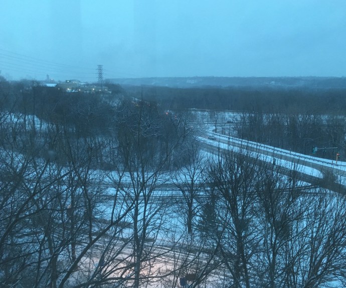
I had mixed feelings regarding the monument. It was constructed by the white Europeans to recognize his efforts but one wonders the tension he must have faced within the Native American tribes given the conflict and difficulties between those tribes and European settlers. As we all know, peaceful efforts, as well as warlike efforts, were unable to save the Native Americans from the settlers greed and spread of diseases. The Missouri River which flows below the bluffs, was transformed from a river teeming with wildlife to a river engineered with dikes and dams to be harnessed for commercial purposes. What would Chief War Eagle think if he looked down on his river today?
Our second stop was a late addition to our schedule. The Dorothy Pecaut Nature Center was just a few miles from the Chief War Eagle statue. I was drawn to it because of its emphasis on the Loess Hills of Iowa. Loess is a geologic term. Loess is a product of “glacial flour”-a term we have encountered previously. Glacial flour is bedrock ground up by the movement of glaciers. The glacial flour gets deposited into rivers by erosion, which sediment moves down river during floods. As the floods recede, the sediment accumulates into mud beds. The mud beds dry out, winds come along, and pick up the dried sediment, and blow it all over the surrounding areas.
This loess and the centuries of growth of prairie grasses and forbs is a major reason for the fertile agricultural fields of Minnesota, Iowa, Illinois, Nebraska, etc. The Loess Hills of Iowa are a region along the Missouri River where wind and water have created hills next to flat plains. The Dorothy Pecault Nature Center had a nice explanation of this phenomena and it was just a short drive from our other planned stops of the day.

We also learned that bur oaks, a staple of the oak savanna and the prairies, have a root system somewhat symmetrical to its tree branches. Chris loved the depiction of the golden pheasant, we normally have only seen ring-neck pheasants.
Next, we visited the Palmer Candy Company of Sioux City. This is a regional candy company whose claim to fame is a popular regional candy called Twin Bing. The candy is a cherry filling with nougat and a chocolate and peanut coating. We purchased a bag of snack sized bars and we each tried one. Very sweet, nice flavor but I still prefer Pearson’s Nut Goodie bars and Salted Nut Rolls.

Our final stop in Sioux City was the Sergeant Charles Floyd monument. This 100 foot tall monument honors Sgt. Floyd, the only member of the Lewis and Clark expedition who died during the two years of the trip. The monument was constructed in 1901 from of sandstone obtained from a quarry along the Kettle River in Minnesota. The Kettle River quarry is now part of a state park which Chris and I have visited numerous times. Floyd’s original grave was subject to erosion and moved twice before finally being placed on this high hill overlooking the Missouri River.
Leaving this second monument, we drove along the Loess Hills Scenic Byway for close to an hour to get better glimpses of the hills ”up close and personal”. Okay, interesting but we do not need to return for a follow up visit.
But the DeSoto National Wildlife Reserve (where nature meets history) was a beaut!!. Only part of the auto drive would be open due to protections for migratory waterfowl, but the visitor center was worth two hours of our time. Two videos of the refuge and the birds that use it were our first treat. Next, and the focal reason of our visit, was the museum section that was devoted to the Steamer Bertrand.
A little background. The Missouri River was nicknamed the Big Muddy since it carried a lot of silt. They used to say its water was too thick to drink and too thin to plow. The Missouri River, like numerous rivers, floods often. This creates sandbars, oxbows (where the river creates a new channel and cuts off a previous river channel, snags (trees felled by eroded riverbanks that float downriver until they get stuck), etc. The Missouri River, at 2340 miles long, travels from St. Louis to the Rocky Mountains in Montana. In the 1800s, the Missouri River was the major transportation route for early settlers and miners. Steamboats brought people and supplies up river.

Stemaboats were extremely profitable. The major impediment to profits were boiler explosions (which killed people and destroyed cargo) and snags which punctured hulls and sank boats. The steamer Bertrand was on its maiden voyage with a veteran pilot, departing St. Louis on March 18, 1865. It was bound for Fort Benton, Montana which it hoped to reach sometime in June. On April 1, it departed from Omaha, traveled about 25 miles, hit a snag which punctured the hull. No lives were lost but the boat flipped over, sunk in the river, and only a small portion of the cargo and equipment was recovered before the river and its silt covered up the boat. Passengers were rebooked on other boats (sounds like airline hassles of today). The veteran steamboat pilot who was on the Bertrand was the pilot that trained Samuel Clemens (Mark Twain). Life went on.
Fast forward to 1968. Over 100 years, the river has created several oxbows. In fact portions of Iowa and Nebraska have flipped which side of the river they are on due to the new river channels. Two archaeologists are exploring for the Bertrand and find it buried 30 feet down in a grassy field east of the river. It takes two years to excavate the wreck but a treasure trove of artifacts are buried in the mud and the muck. Another ten years are required to unearth and clean the artifacts but when completed, the 200,000 artifacts present a miraculous portrayal of ordinary life on the prairie. (Alcohol is one of the materials used to clean these artifacts. The cleaning process took so much alcohol that the conservators (who were from the National Park Service) were required to obtain a liquor license.)

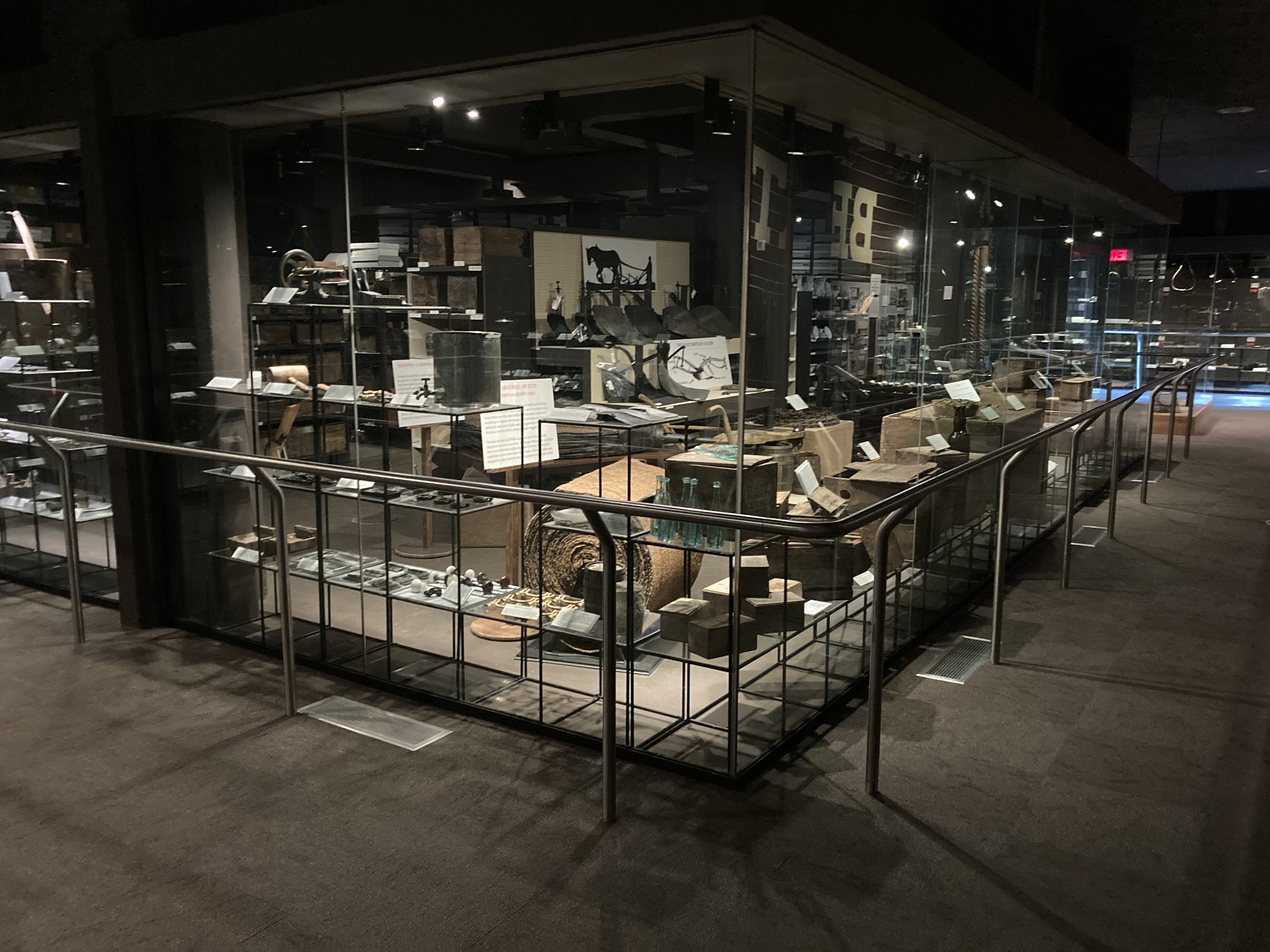
Back to the main story. The visitor center at DeSoto holds those artifacts with a number of them on display. Shovels (many from the Ames Corporation which still makes shovels today), dishes, ammunition, kitchen utensils, etc. are all there to see. Clothing is less frequent as its material is more subject to deterioration under water. It was fascinating to take the time to view various artifacts.

We drove out to the site where the Bertrand was found. Although we did not cross the river, the site was in Nebraska. The bottom hull of the boat was not excavated and is still buried under water and mud in a pond on the refuge property. All in all, a fascinating time at this museum in a national wildlife refuge. Oh, and the displays in the visitor center relating to nature were quite good also.
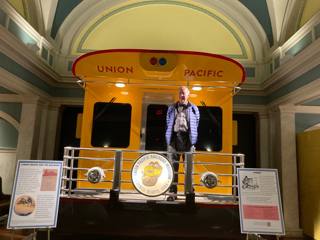
We had 4 PM timed admission tickets to the Union Pacific Railroad Museum in Council Bluffs Iowa. Council Bluffs was decreed as the eastern terminus of the transcontinental railroad connecting California to the rest of the United States. The Union Pacific was to build track going west while the California Pacific built track going east. Today the Union Pacific still has rail yards in Council Bluffs while their corporate headquarters are in Omaha Nebraska, across the Missouri River. The UP also has their national rail traffic control center in Omaha in an extremely secure building. From here, all UP trains are monitored and controlled across the country.
The museum is funded by UP but only open Friday and Saturday. During our 90 minute visit, we found it a fascinating trove of information. Most of the information is presented on mural boards one must read so it does take a while to make your way around the two floors of exhibits. What did we read about? We will mention just a few.
Before WWII, UP had train coaches for women only to allow single female travelers to feel safe. The coaches were staffed by women with nurse type training and the rest of the train staff (all male of course) needed special permission to enter the coaches.

The railroads were responsible for establishing standard time in the United States. Congress would not end the practice of each town setting its own time based on sunrise, etc as it occurred in their community. This mish mash of parochial stubbornness crated havoc for the operation of trains and a severe potential for accidents. In 1883, railroads in Canada and the U.S. implemented a system of times and time zones. It took Congress until 1918 to pass the Standard Time Act, formalizing that which the railroads started 25 years earlier.
Railroads used to have their own depots so in a city like Council Bluffs that was served by as many as eight railroads at one time, passengers might have to disembark and travel to another depot to catch their next train. Under pressure from cities, railroads finally cooperated in creating ”Union Depots”-one central depot serving all railroads.
Automatic traveling train equipment machines now install concrete ties with better ballast and longer rails than the previous manual process. Employees with remote train controllers hanging on a belt from their waist direct trains around switchyards with no onboard engineer. Passenger trains used to be faster, more frequent, and more luxurious until Americans became enamored of their automobiles.
Not surprising to us as we have traveled is the awareness of the impact railroads created throughout the U.S. Land grants given to them for the building of the transcontinental railroad fueled the immigrants who settled the prairies. This settlement contributed to the taking of Native American land. Prairies were plowed under and while crops were grown, erosion and loss of habitat skyrocketed. As a display indicated back at DeSoto National Wildlife Refuge, progress in building towns and growing food led to ”the other side of the coin’, that is, each positive step had a negative effect.
Towns fought to have rail roads go through their community and to be a hub for servicing passengers and crews. Later those towns would find out that economic benefits might be short-lived as technological changes and economic pressures consolidated and closed facilities. Labor strife over low pay, dangerous working conditions, and long hours resulted in strikes usually won by the railroads. Discriminatory labor practices were prevalent.
If you are in the area, we encouage you to stop in at any of these locatons. We found them interesting and well worth our time. There is more to learn than just what we mentioned today.
The day ended with dinner at McAllister’s Deli before checking in to our Hampton Inn.
Ed and Chris, Nov. 13


Recent Comments