Little Marais, MN. June 16 Thursday
Finally, clear skies. Luckily we have one full day plus our return trip to enjoy nicer weather. Not that we haven’t enjoyed our time up here, it is just better when it is sunny.

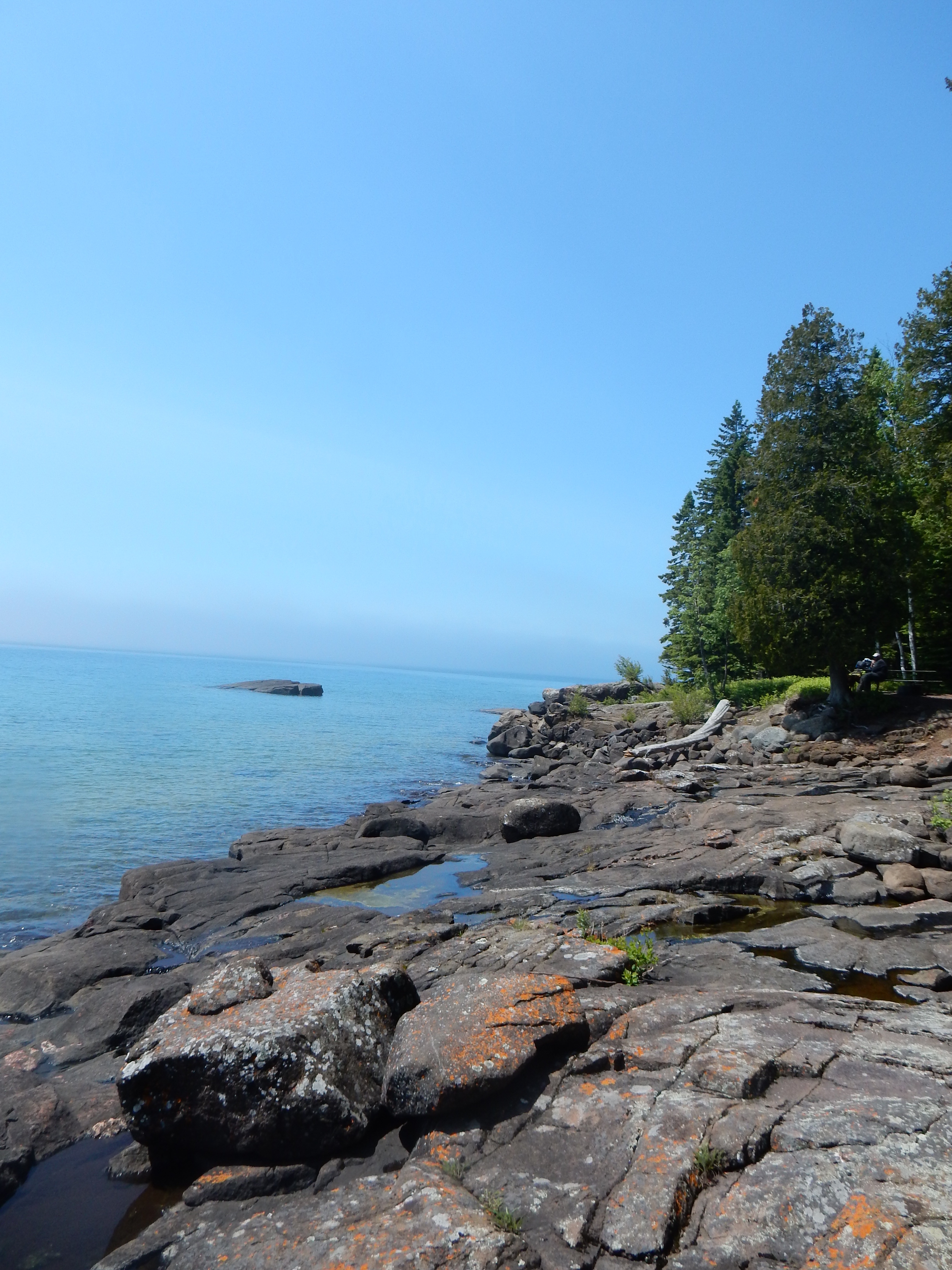
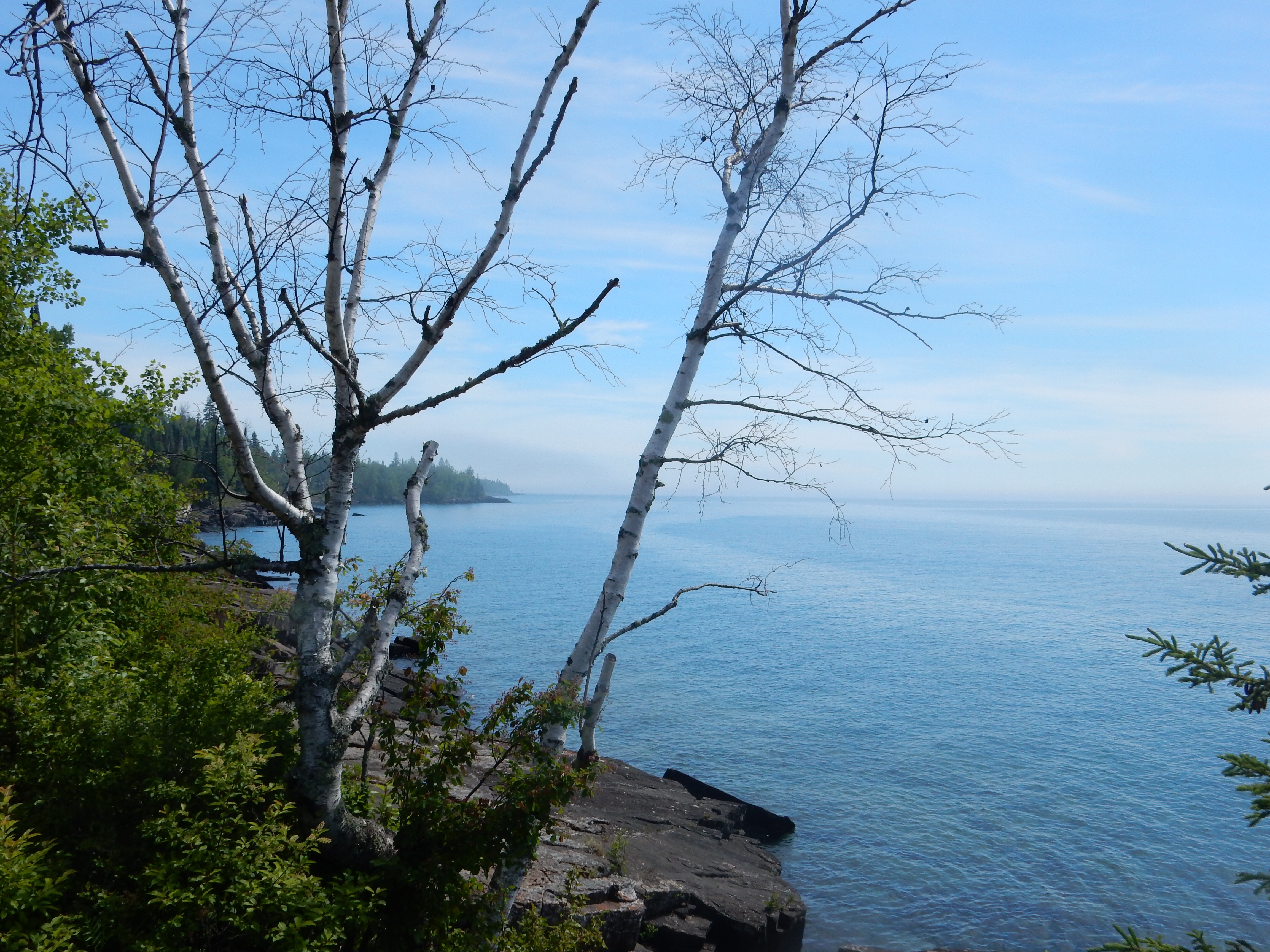
View of Lake Superior from Palisade Head near Tettegouche State Park on MN North Shore
“Here” is the North Shore of Lake Superior, a 151 mile drive from Duluth, Minnesota to Grand Portage, Minnesota at the Ontario border. This is called the North Shore, but the road generally goes northeast, although with curves it meanders in most directions except south, and frequently you are driving true eastward. Technically, that would mean one is on the west shore of Lake Superior, but rationality and logic don’t always win out over popular tradition. This has been called the North Shore for decades, we won’t fight it. So it is the North Shore.

Chris and Kathy at Tuesday night’s bonfire at Lakeside Cottages

Our cabin at Lakeside Cottages, Little Marais MN
Chris, her sister Kathy, and I, are spending five nights and six days at Lakeside Cottages at Little Marais MN. Little it is, population 30. This is an independent, small operation, similar to the ones that used to line Highway 61 along the North Shore for decades. Many of those old-fashioned places have gone out of business in favor of newer, fancier resorts. Lakeside Cottages suits us just fine; no TV, clean and comfortable, gracious hosts, and a picture window that looks out at the lake. Our hot spot provides Internet service and a portable boom box plays NPR and CDs. Our plans are to read, do puzzles, relax, and do some hiking and minor touristy type activities. Plus, some knitting for Kathy.

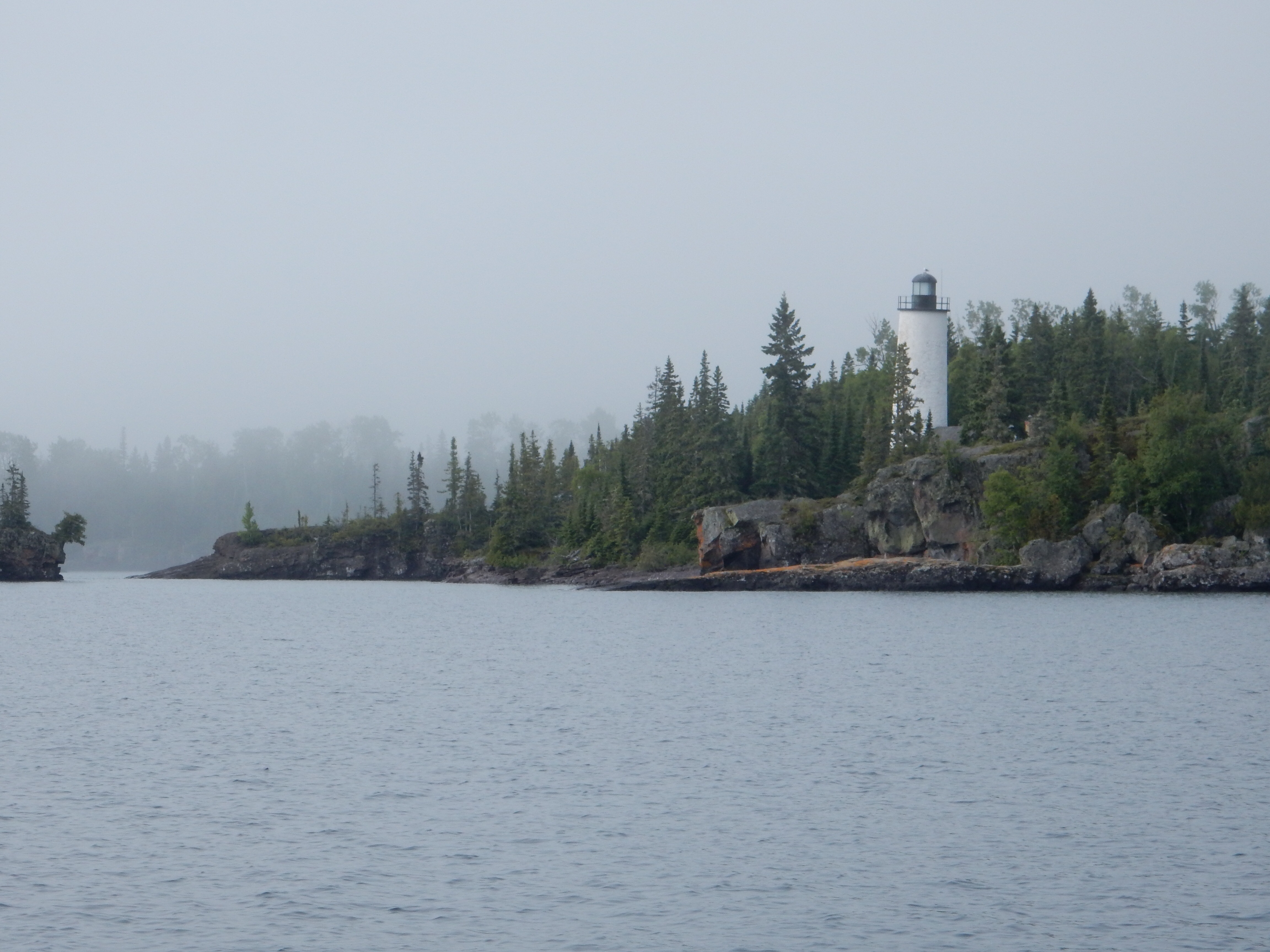
View from Shovel Point at Tettegouche State Park
On the hiking side, two of the mornings, Chris and I left Kathy behind to work on her knitting, puzzling and reading while we headed off for some longer hikes. Tettegouche State Park is just 10 minutes south of Little Marais with a new visitor center and several nice hikes. Tuesday morning we drove down and made our first hike be one out to Shovel Point. There are several overlooks along the path providing great views of Lake Superior, although this day was cloudy and foggy. The path has been improved by the installation of numerous wooden steps to ease the way up, and down, the bluffs. I counted 655 such steps on the return, that makes over 1300 steps for that hike. Good exercise.
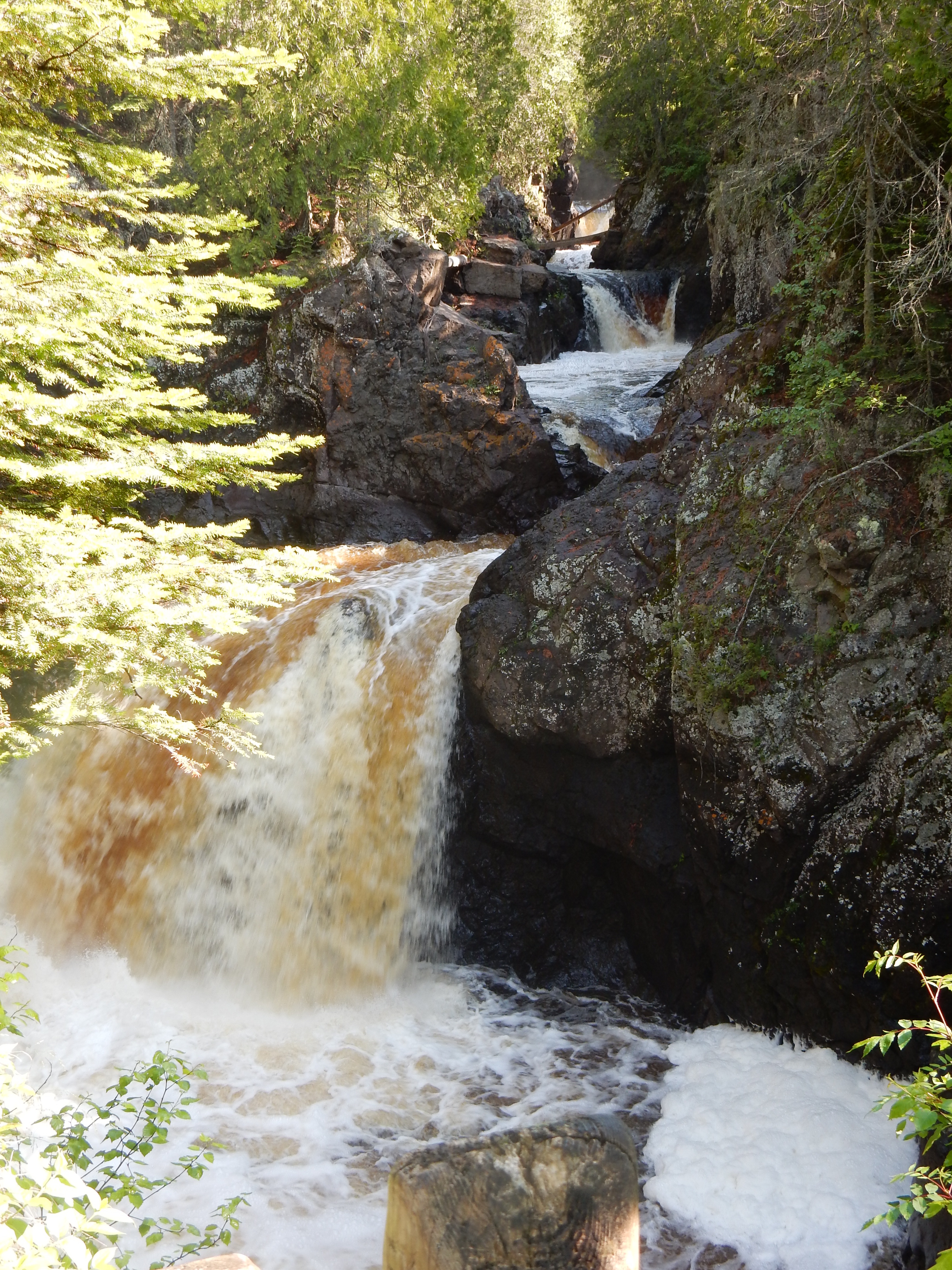
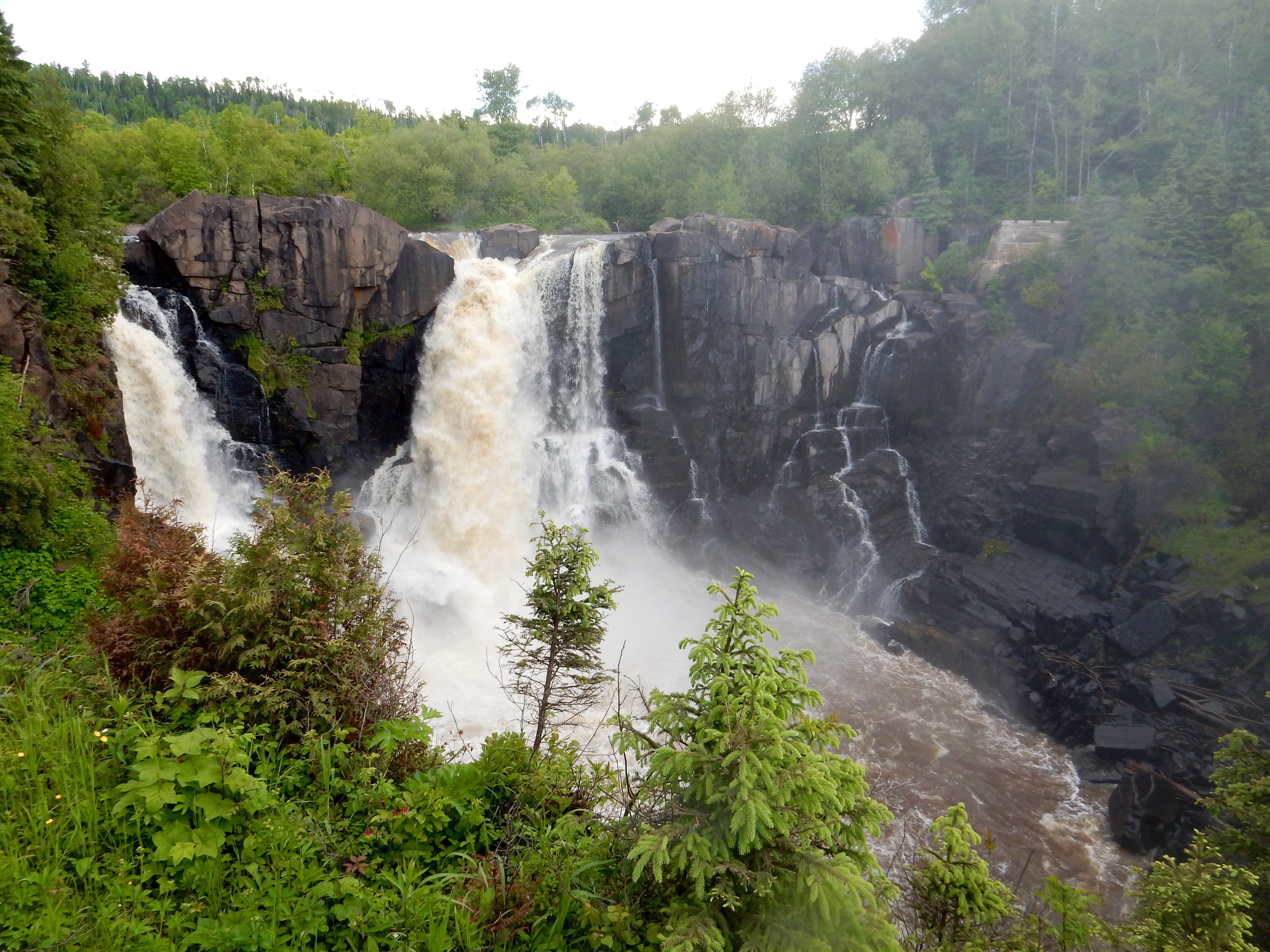
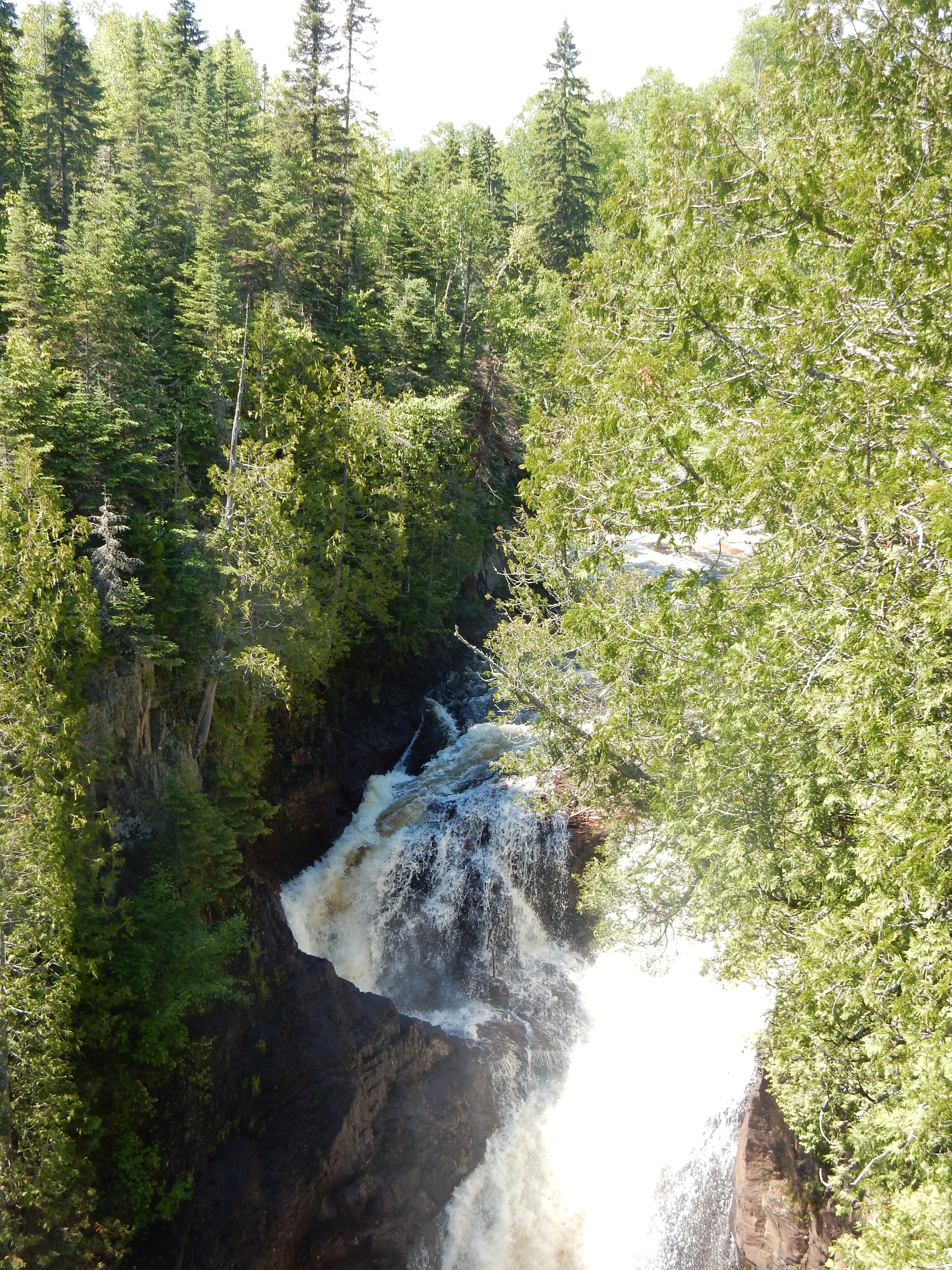
The geology of the North Shore includes ages old igneous rocks that have weathered very slowly. The Sawtooth Mountains and Superior National Forest are to the west of the lake, and the entire path of Highway 61 takes one along bluffs, green pine and deciduous trees, and blue lake water. Because of the igneous rock and mountains, numerous waterfalls line the shores and are frequently located in state parks. After the hike to Shovel Point along Lake Superior, we hiked to the High Falls of the Baptism River in Tettegouche.
Due to the rain, all of the rivers have been running strong. High Falls on the Baptism was no exception. The hike through the woods was not too bad, a few muddy spots but generally just wet and slippery. Picture taking was not the best with the clouds and with the location of the river crossing not being over the falls themselves. But we did the best conditions would allow.

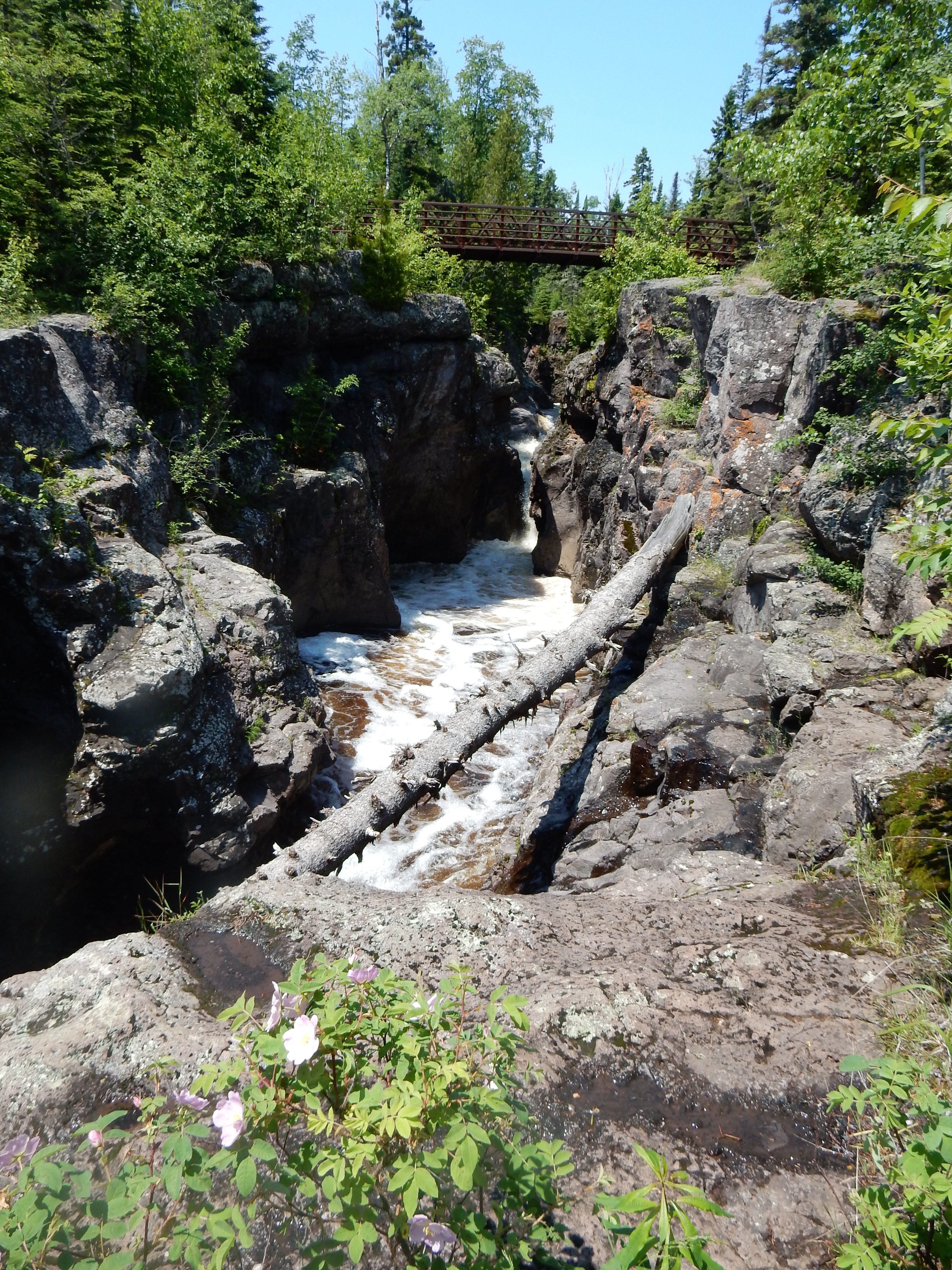
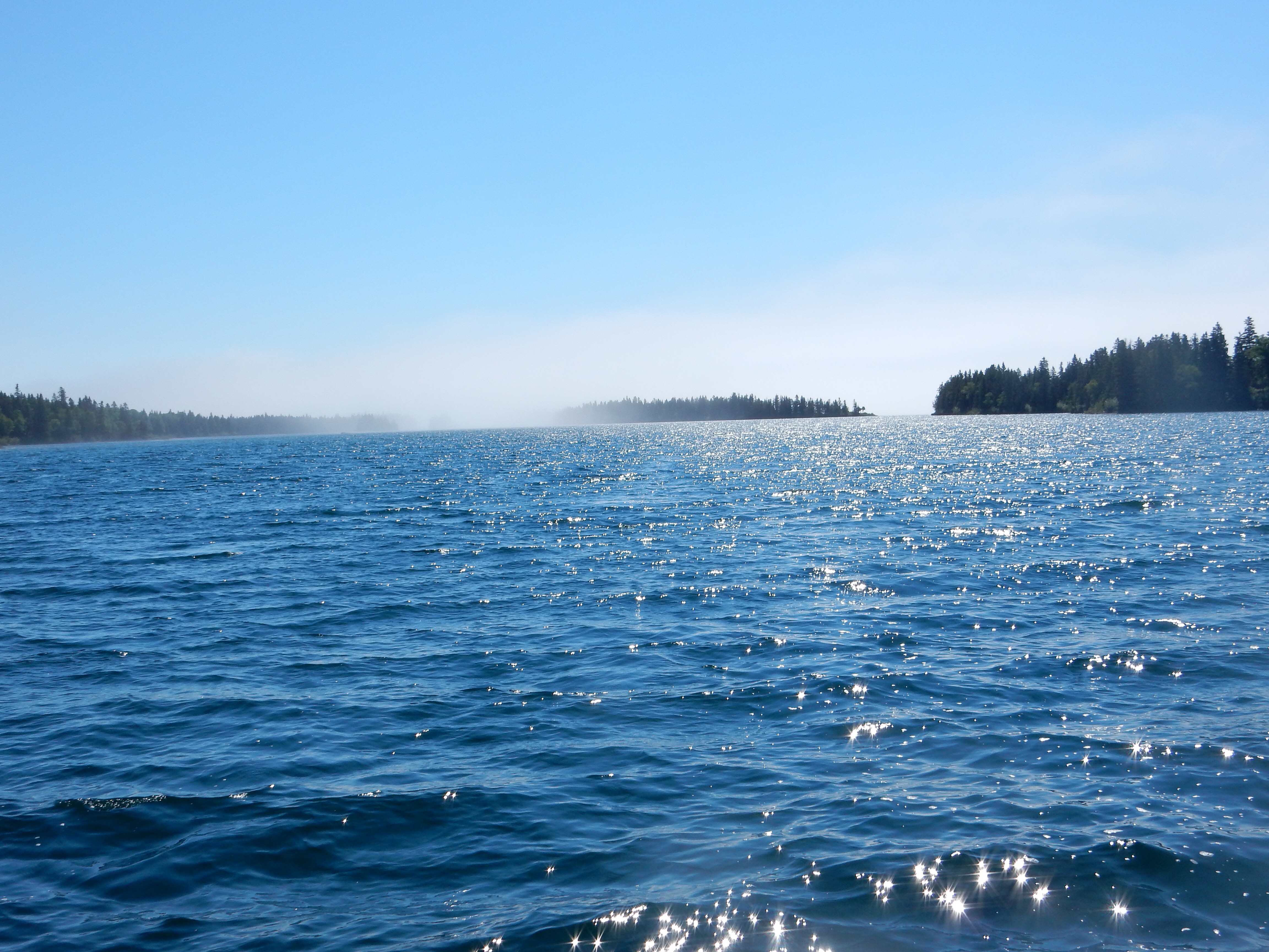
Temperance River above the falls, MN North Shore
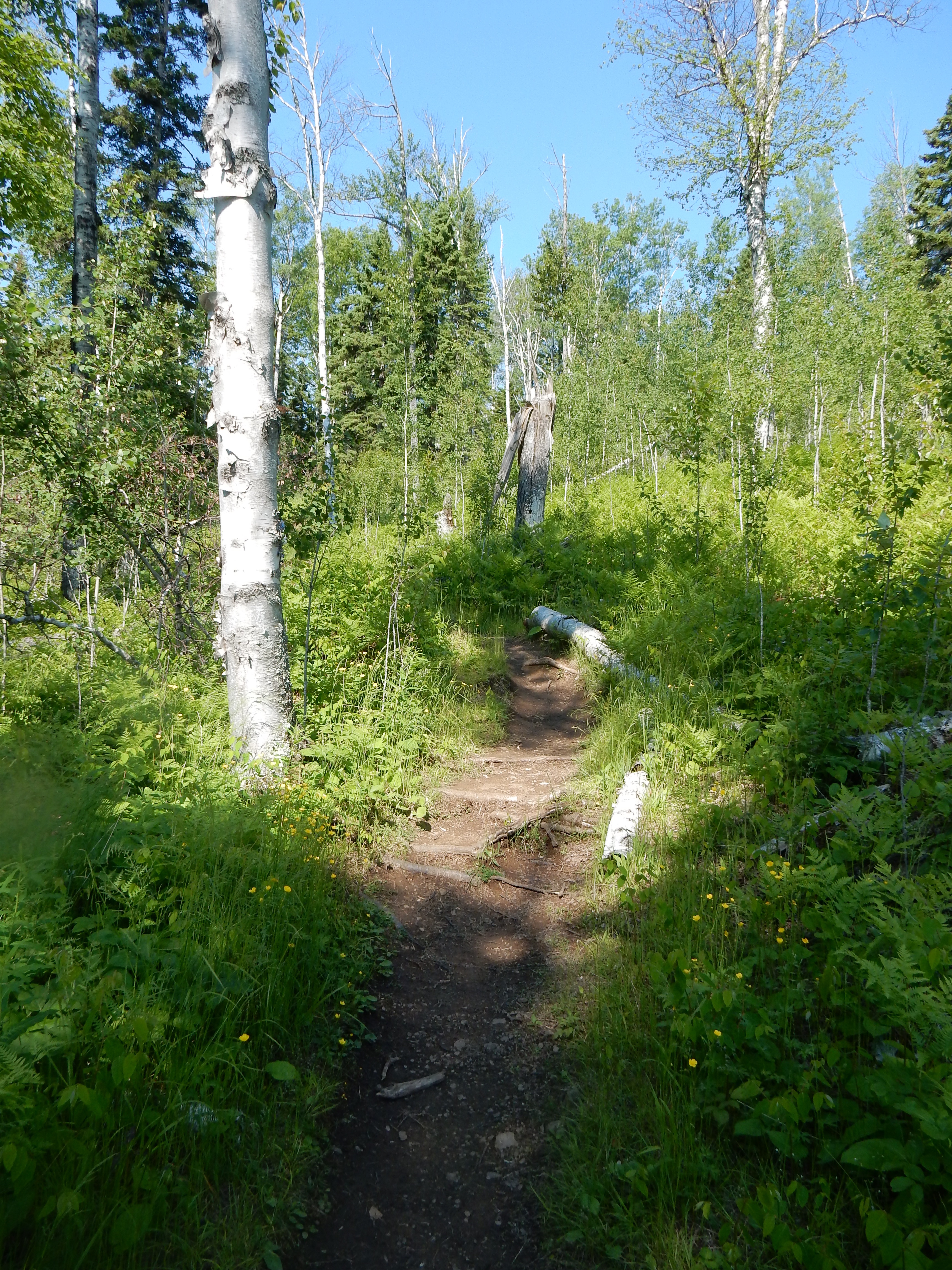
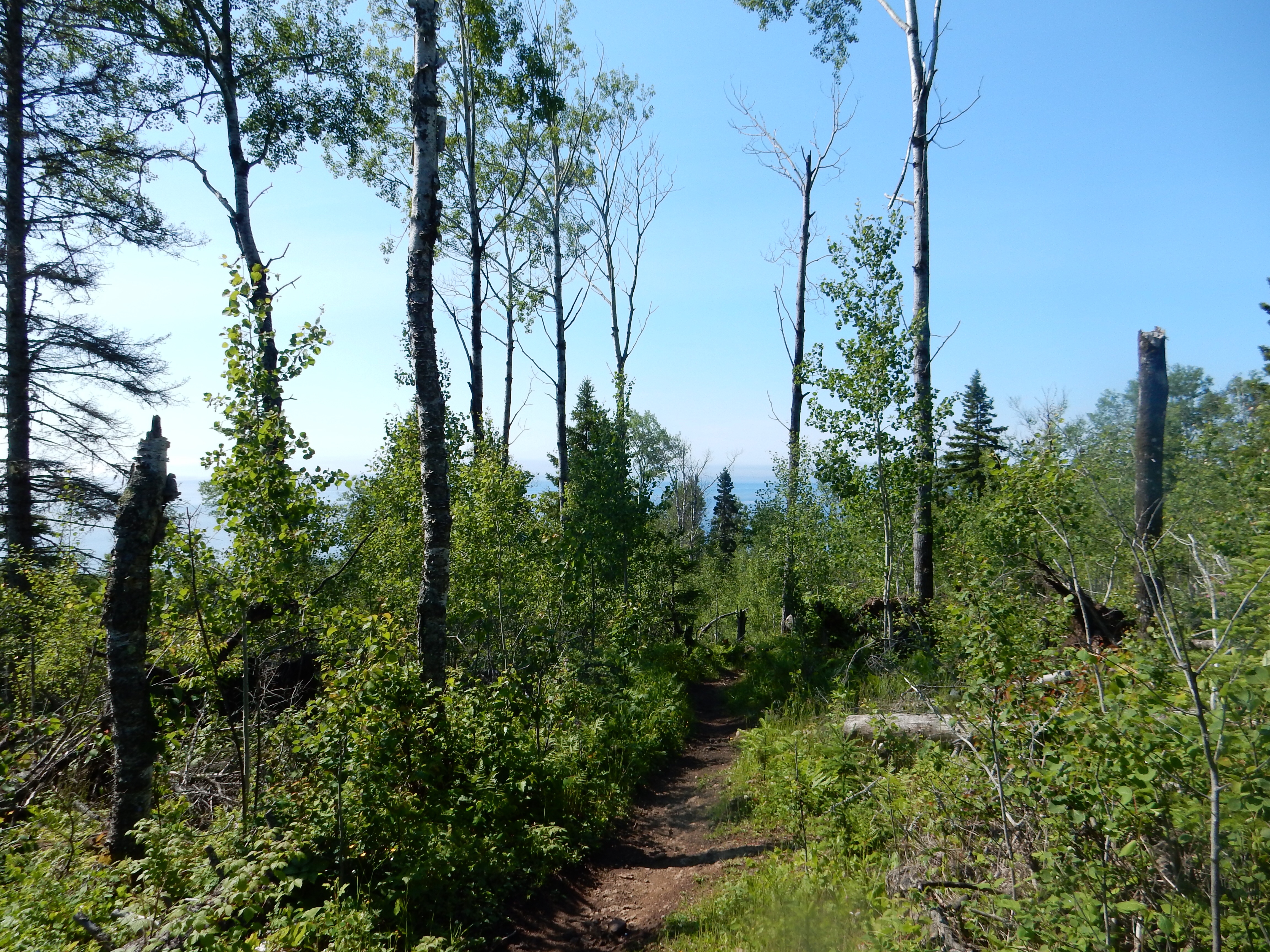
Better pictures came on Thursday. This morning Chris and I drove about 20 minutes northeast to Temperance River State Park. We skipped the lower pools that are located between Highway 61 and Lake Superior and headed upriver. The Temperance is named because unlike the other rivers running into Lake Superior, there is no sandbar at the mouth of the river where it meets the Lake. (No bar, temperance, get it??) The trail follows the river through the gorge, then reaches the flat plains before continuing on up to Carlton Peak. Chris and I had climbed the Peak previously and turned back after hiking out for about 45 minutes.

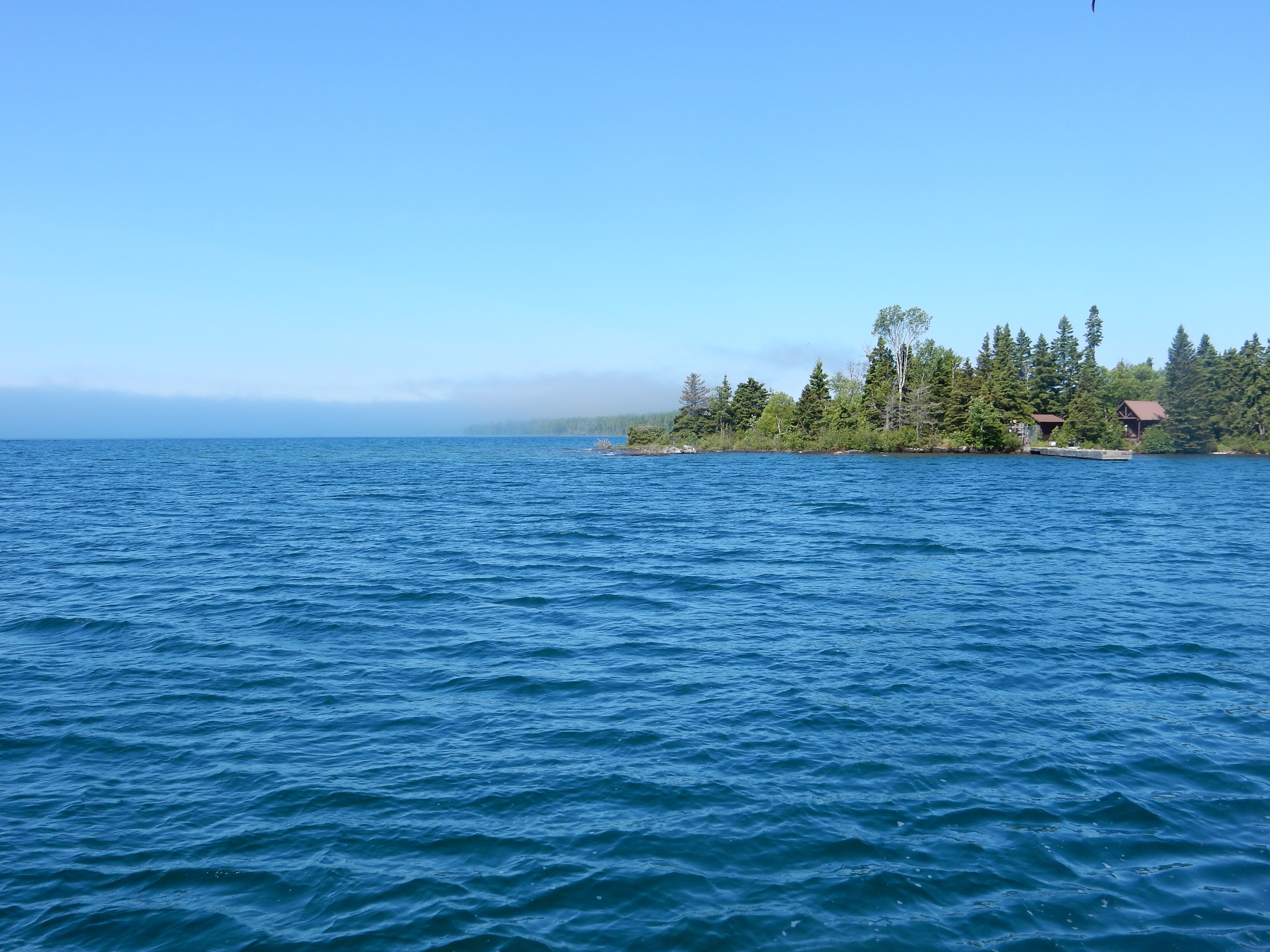
Temperance River on MN North Shore
The rock formations of these rivers make for interesting cascades, waterfalls, potholes, gorges, etc. And unlike the Southwest which we just visited, there are forests of green trees surrounding the rivers. The combination of blue skies, green trees, gray and red rocks, and the blue/tan river water makes for pleasant viewing. Most of the rivers have a brownish color. This originates from the iron deposits and from decaying organic materials that create humid acid. Frequently the tumbling action of the water going over the rocks creates a foam. Unlike some other rivers, this is not pollution since there is no industrial development along these short rivers running into the lake. Most of the mining in northeastern Minnesota is located farther west in the Iron Range, not along the North Shore. ( I am trying to upload a video of the Temperance River which I think is quite good but either WordPress or my home Internet is not cooperating. Not sure if you will get to see the video or not.)
Both parks allowed us to continue our efforts to complete the MN DNR State Parks Passport Club. This is an program encouraging people to visit all of the Minnesota State Parks, stamping the name of the park in a “passport” book to prove you made it to the park. We started this in April of 2015 and the program has induced us to visit portions of Minneosta we might not otherwise visit.
Our historic/cultural activities included introducing Kathy to the Finland Historic Society and its guided tour at a recreated village outside of the town of Finland, MN. Yes, most of the founders of the town came over from Finland, taking ships that brought them to Duluth and them small ships or trails that brought them to this remote area. There were no roads connecting the North Shore to the rest of Minnesota until 1929 when Highway 61 was completed. Until that time, ships dropped off supplies to small villages along the shore and immigrants hiked further inland to claim their 160 acres of homestead land.
Logging was the major industrial activity in this area. Logging would occur in the winter; at spring time, cut logs would be sent down the rivers to the lake where they would be towed over to Ashland WI for processing. Eventually local logging railroads were built to replace the rivers and allow for year round lumbering. Most of those trees were sent to Cloquet MN for processing. Farming was not profitable, the soil was too rocky. The Finland museum had a nice exhibit. Excellent actually for a town of its size.

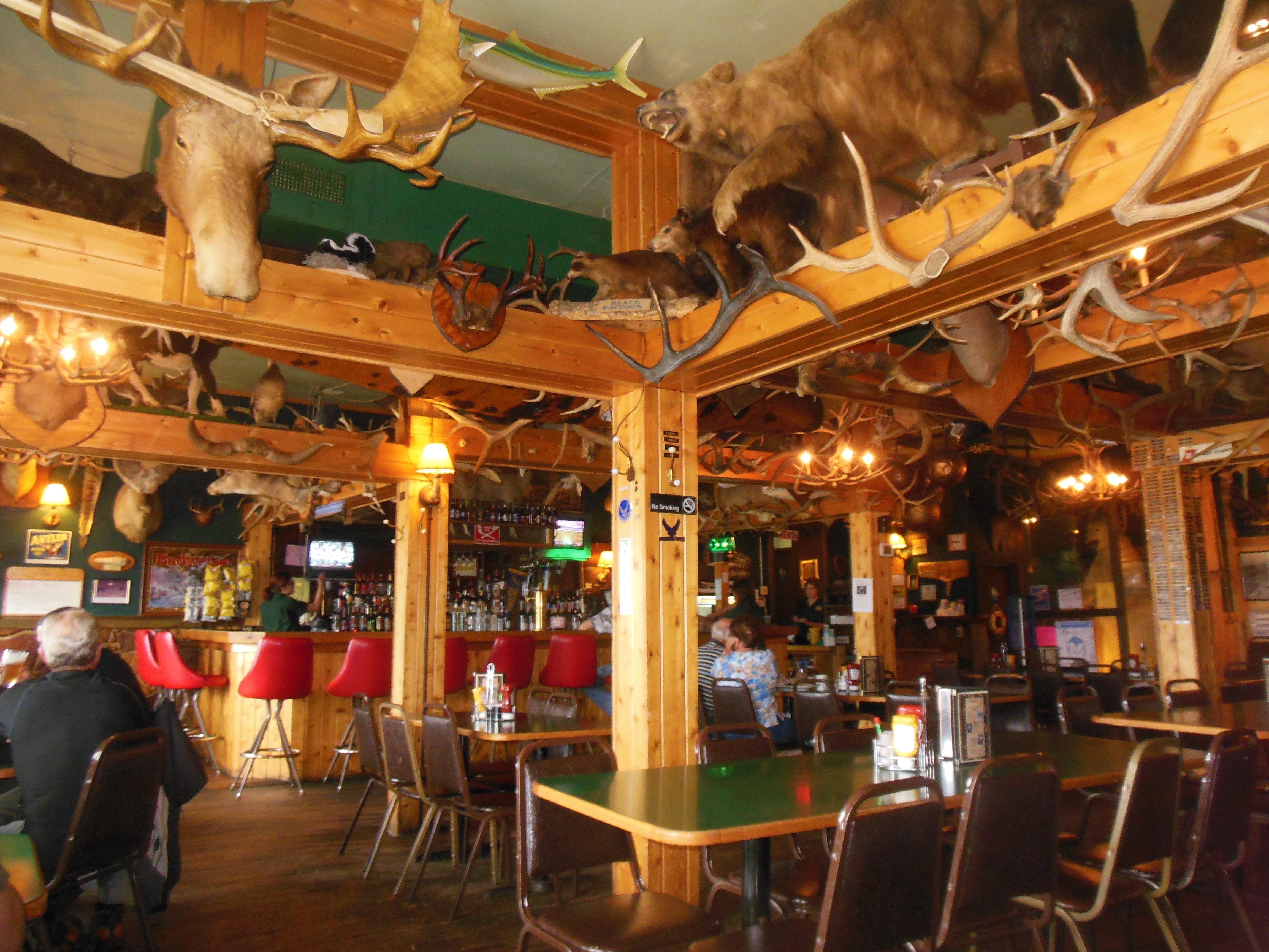
Dinner at Naniboujou Lodge with the fireplace and Cree Indian design in background
We spent an afternoon in Grand Marais, MN. GM is the local hub of the area farther north of Duluth. It markets itself on artistic endeavors and wilderness experiences. We traversed the floors of several galleries and stores, making a few small purchases. Dinner was at Naniboujou Lodge; an inn founded in 1929 by a group of wealthy Easterners. As you might expect, the Great Depression put an end to its grand pretensions but it continued as a hunting club and now it is a rustic inn and restaurant, just 25 miles from the Canadian border.
The interior of the dining room at Naniboujou is exquisite. There is a huge fireplace, created out of native Minnesota stone. Supposedly it is the tallest native rock fireplace in MN. The colors in the dining room are vibrant, with the decorations in the designs of Cree Indians. The walls and ceiling have not been repainted since it was first applied in the 1920s. It still looks spectacular 90 years later.
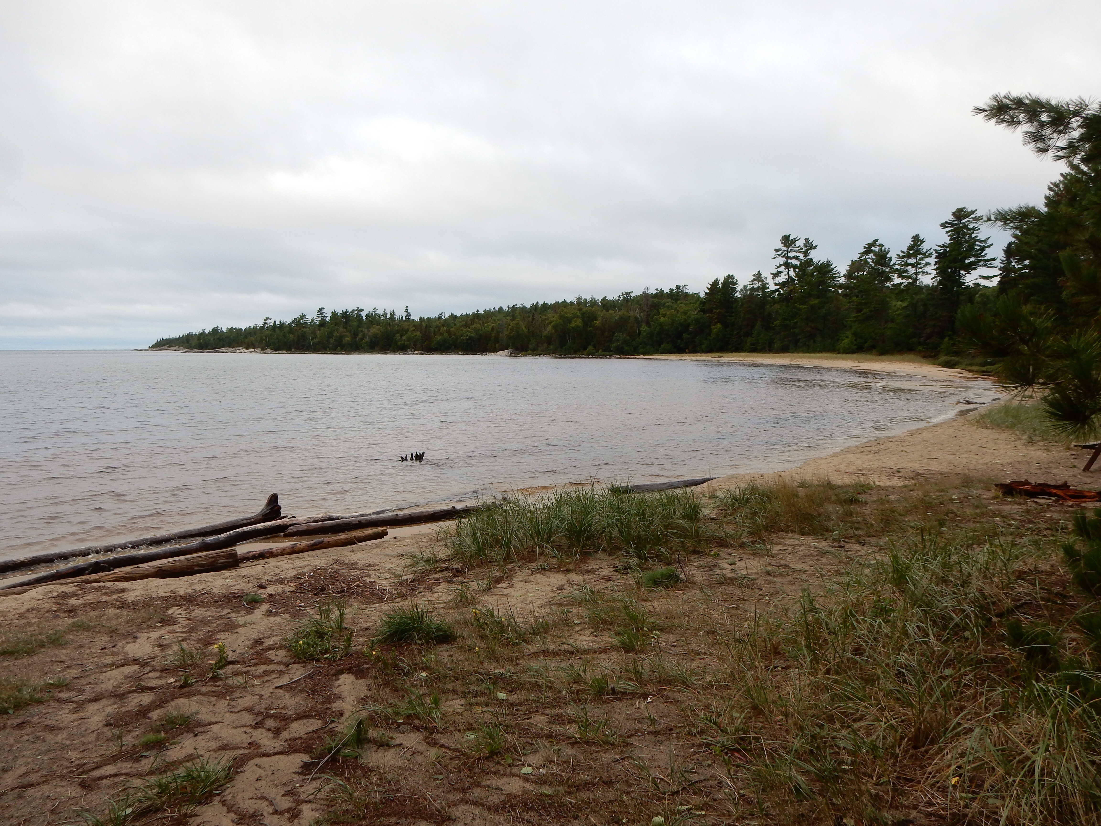
Our other meals have been created in the cabin. Our trusty Crock Pot made pork roast one night and chicken another. Leftovers filled in the other days. Homemade granola for breakfast along with eggs and toast kept us away from restaurant food and, of course, peanut butter and jelly sandwiches are always good for lunch. Dessert was pretty much brought along with us, homemade oatmeal cookies and brownies although we did stop at Betty’s Pies in Two Harbors for a slice to go for each of us on Sunday.
One afternoon we visited the Cross River Heritage Center at Schroeder MN. This small museum featured displays on the lost resorts of the North Shore and on Taconite Harbor. Taconite Harbor is now ghost town, having gone from boom to bust in 50 years. In 1950, Erie Mining created a harbor out of scratch to transport taconite pellets from its mines and processing site in Hoyt Lakes. Erie built the mine, the taconite center (which takes low-grade iron ore and through crushing, milling, heating and pelletizing, makes a high concentrate pellet of iron for use in steel mills. Erie then transported the pellets on its own railroad to Taconite Harbor, 80 miles away on the shores of Lake Superior. Erie built the company town of Taconite Harbor with its homes, ball fields, stores, etc. As steel making needs changed, the plant, the town and the harbor fell into disuse. The company sold the homes and now the former town site sits empty. (We drove by it.) The three bridges that crossed Highway 61 as the coal trains descended to the harbor still cross the road, although unused. The coal-burning power plant which created electricity for Taconite Harbor and Hoyt Lakes continued; although now scheduled to close this fall due to changing energy needs and generation modes. Again, for a small town, the displays are excellent, and there is a variety of local crafts for sale.

Sunset at Lake Superior with our fire Thursday night
Relaxing might have gotten a boost from the cloudy and rainy weather. 1550 puzzle pieces were assembled. One hat knitted, second one started and likely to be finished by the end of the car ride Friday. Numerous crossword puzzles. Two books down already, another likely to be knocked off. (Your Ridley Pearson author, Jude) Soft music in the background, lapping waves watched and listened to. Well, Tuesday and Wednesday nights it was crashing waves listened to; luckily we were on dry land and not on a houseboat on the lake. Two campfires lit, one on a cloudy, crash wave night, one on a sunny, quiet wave night.

St. Louis RIver at Jay Cooke State Park Friday noon
On the way home Friday we stopped at Jay Cooke State Park for lunch. It is located on the St. Louis River which courses from the Iron Range south to the Duluth harbor.
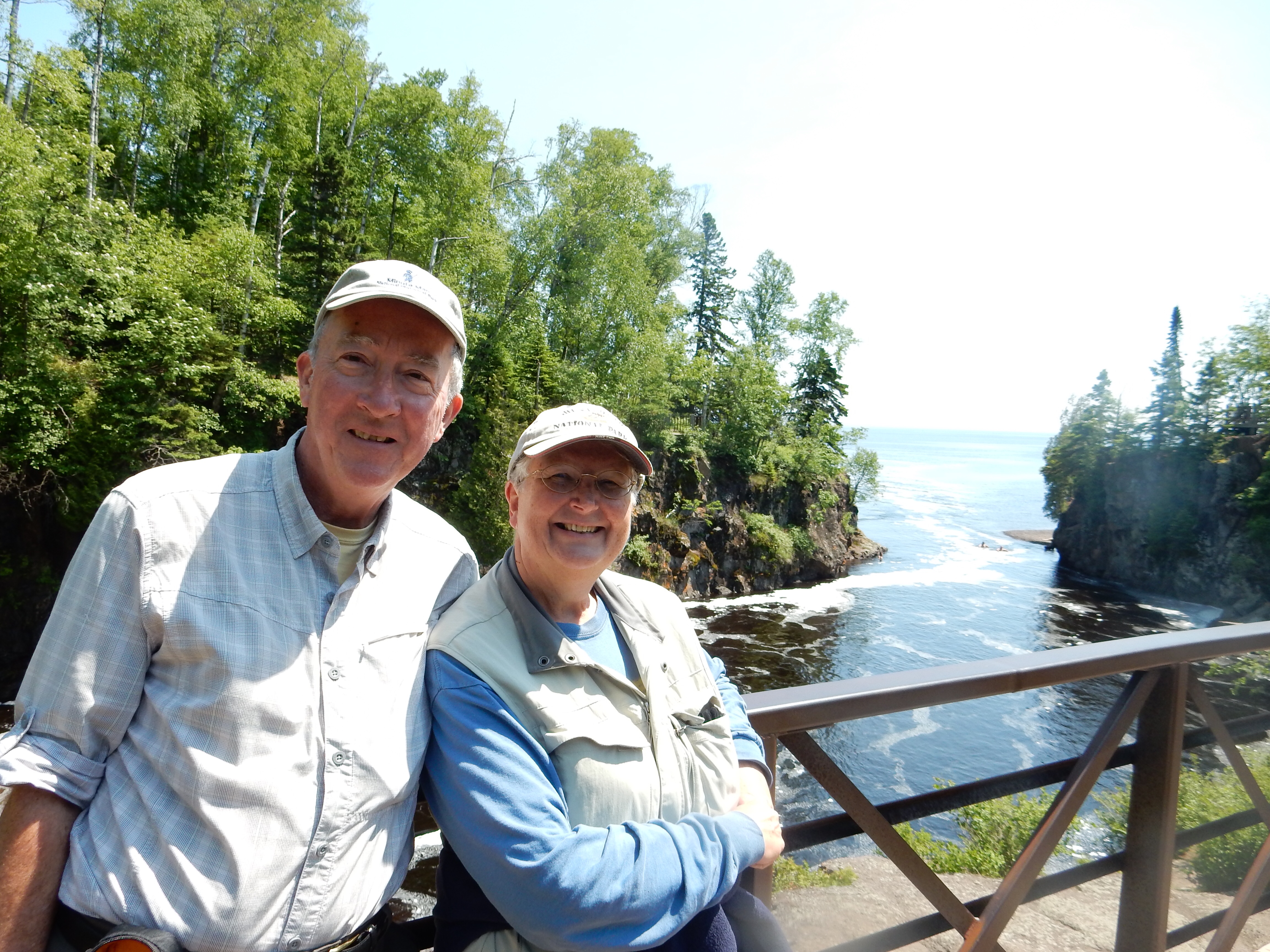
Chris and Ed, Friday June 17


Recent Comments