
Jasper, AB, Wednesday August 7
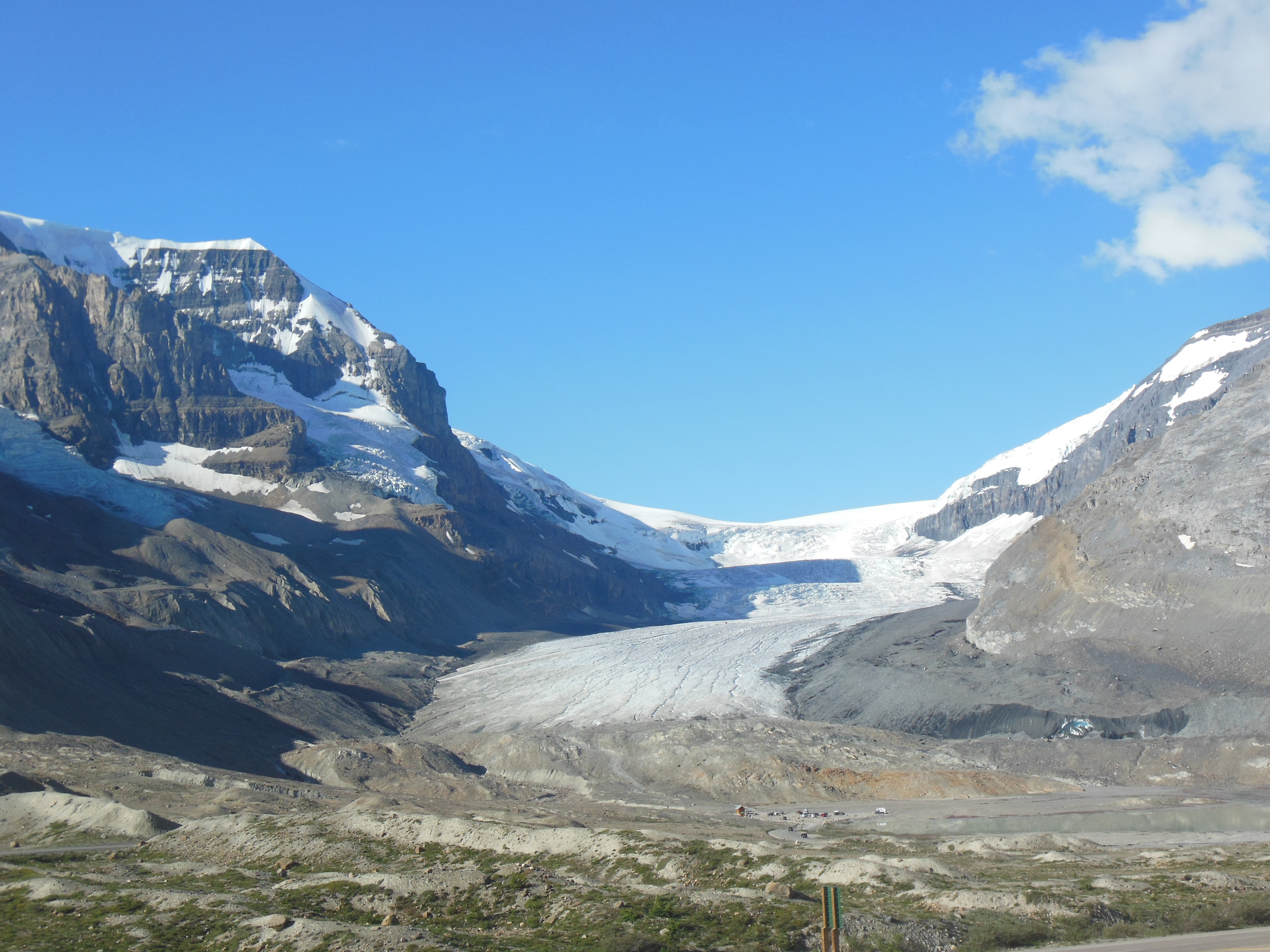
Columbia Icefield from where it ended 125 years ago
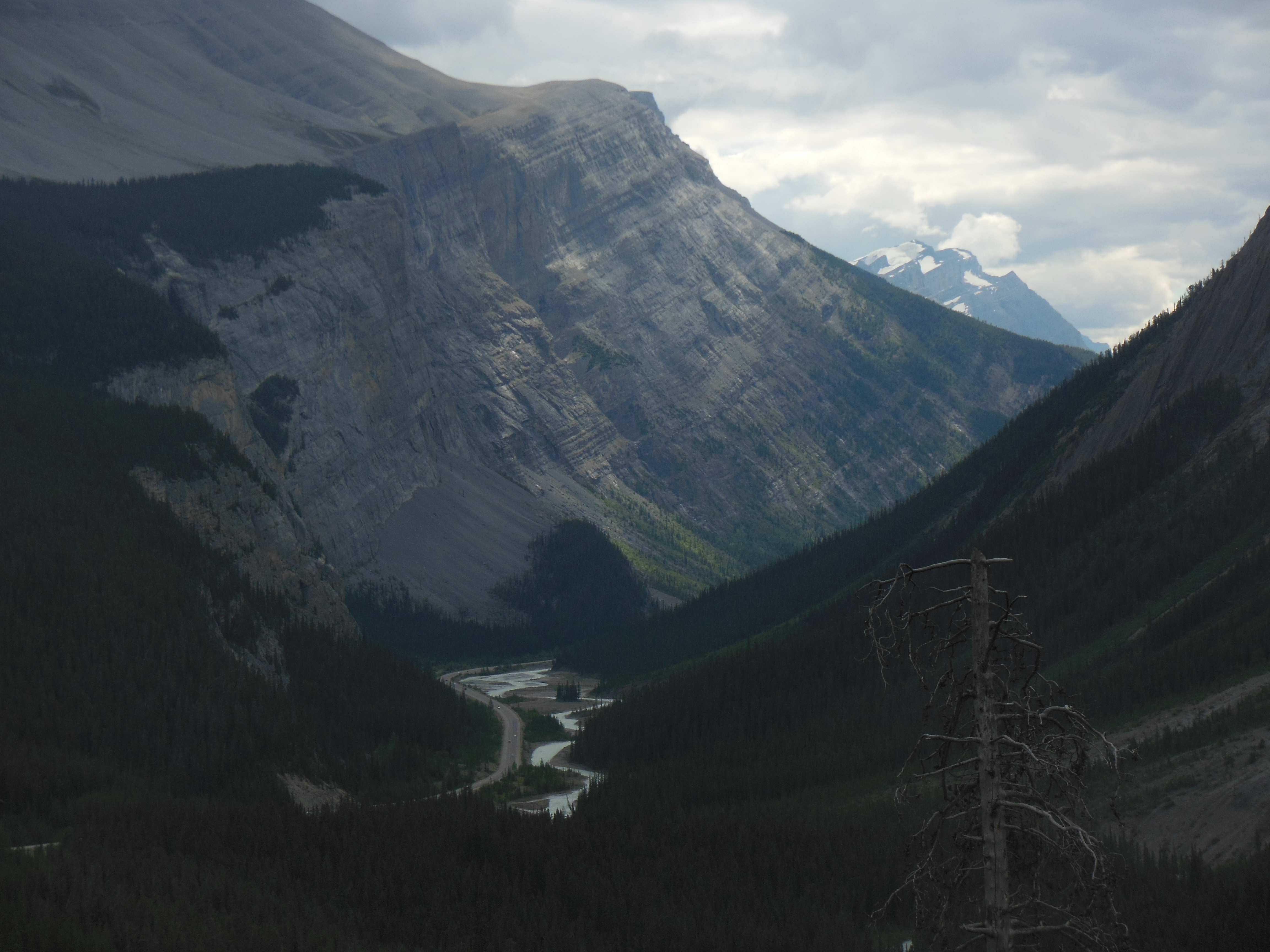
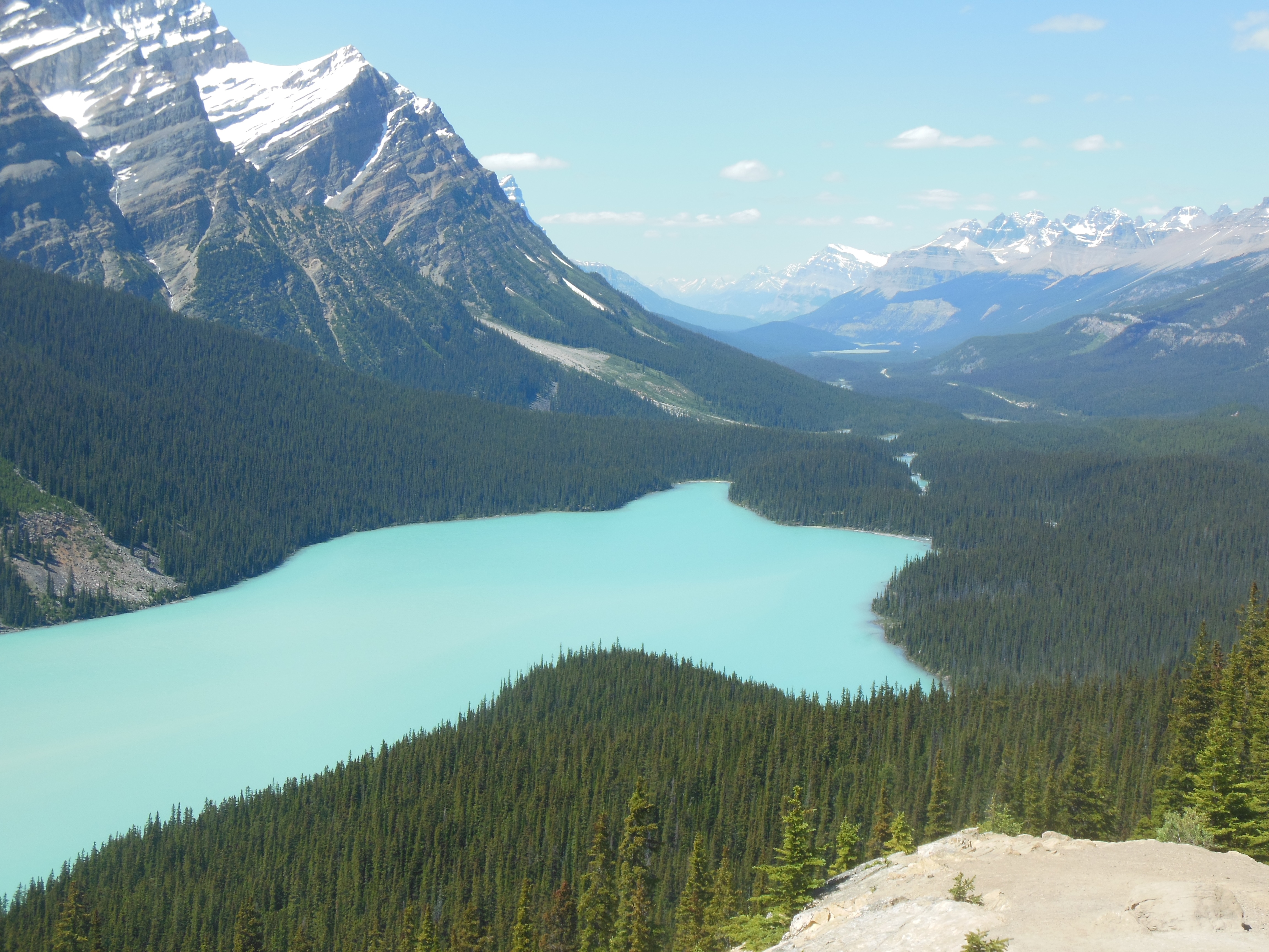
The Icefields Parkway is advertised (as so many others we have driven) as the most beautiful road in the world. Well, this time the advertising is close to the mark.
We left Jasper early, the better to get to the Icefields before crowds of people. Fog or low lying clouds were still abundant and the scenery often had an eery cast to it.
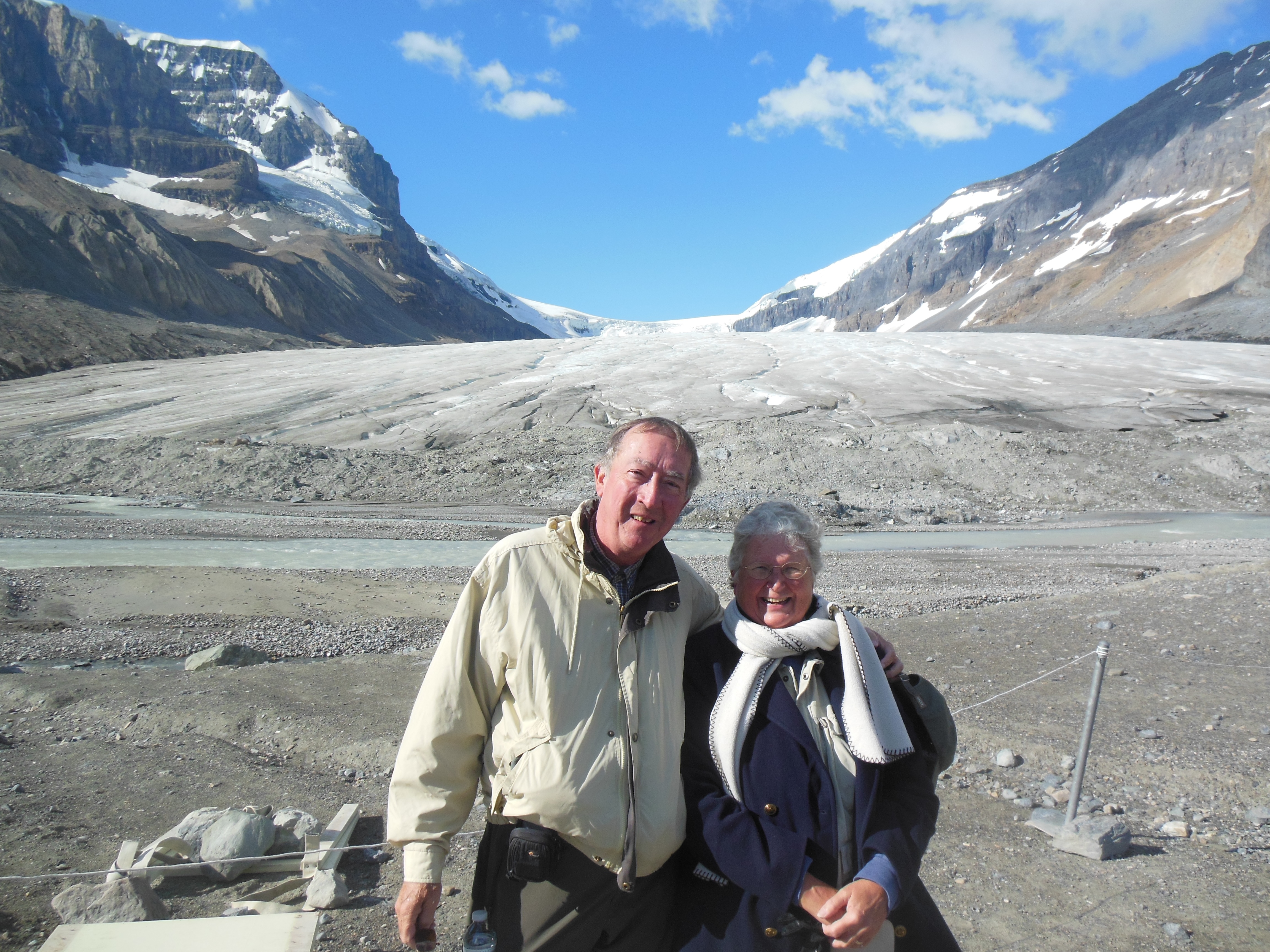
Chris and Ed at toe of glacier
The parkway usually runs down the valley between two mountain ranges. This has been a theme of several routes but the mountains seemed more varied and dramatic than other routes. The parkway goes all the way to Lake Louise but we had traversed the lower one-third when we were in Canmore. This journey completed the top two-thirds of the route.
Along the icefields parkway
The primary viewing of today’s journey was the Columbia Icefield, home to numerous glaciers that due to their location by a continental divide, flow to the Atlantic, Pacific and Arctic Oceans. The water flow here feeds several large Canadian cities like Calgary and Edmonton. Diminishment of the glaciers will have an impact on their future water supply.

Along the Icefields Parkway
When you are in the parks here, there are numerous opportunities to spend your money. Raft trips, tramway rides, boat rides, interpretive walks, helicopter rides, etc We have tried to balance uniqueness and affordability. Today we rejected the walk with a guide on the glacier or the bus/snow coach tour onto the Athabasca glacier.
Instead we just hiked up as close as one can get to toe of the glacier. As we walked, we passed little signs indicating how diminished the glacier has become. Comparisons to 125 years ago are striking. The glacier creates a constant cold wind from the temperature changes. Trees that sprouted 125 years ago when the glacier was at the utmost (as we know, anyway) are relatively small, the cold wind and harsh environment shrink the growing period.

Athabasca Falls
Unless you are with a guide, you must maintain a safe distance from the glacier. Underground lakes, rivers, and chasms are under the snow, unseen. There were several signs posted of people who have lost their lives falling into chasms.
As we left the ice fields, we continued south to the point we had reached when we traveled the southern 1/3 from Canmore. The turning around point just happened to have locally produced ice cream.
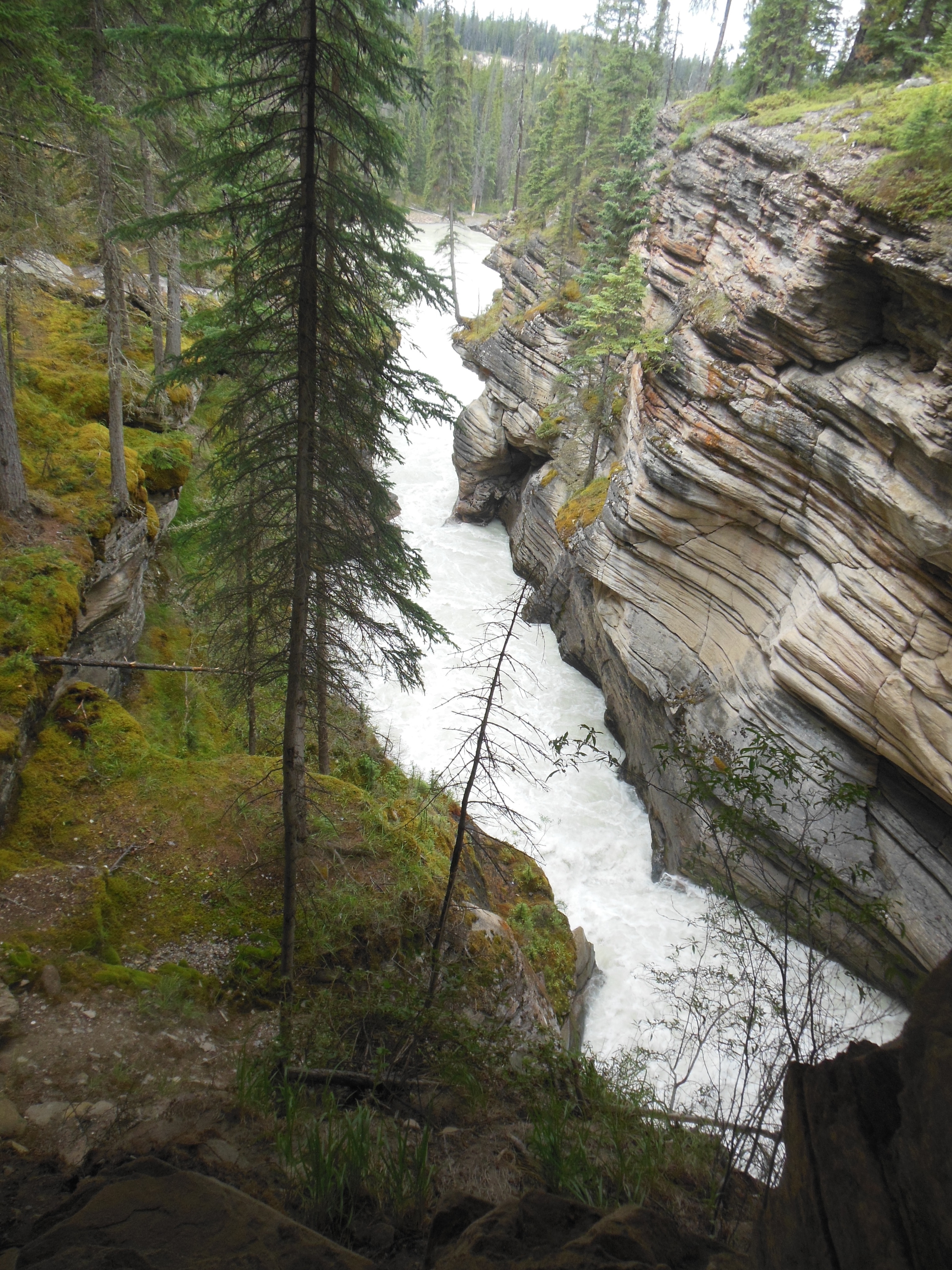
Athabasca falls
Todays journey was only about 100 miles one way but with numerous stops for walks and photo taking, we spent seven hours. Part of the driving time we played guessing games. How soon would this impatient car pass the RV or slow car in front of them? Were those four speeding cars traveling together? Why do people buy/rent RVs if they can not get up enough speed to go over relatively minor hills? Will the next group of bikers be traveling in single file or double/triple file along the road.Etc. At least the number of speeding/illegally passing motorcyclists were reduced from previous days.

Athabasca falls up close and personal
Our planned evening walk was canceled due to rain. Hopefully tomorrow will be nicer. A boat ride on Maligne Lake and then we head over to Revelstoke, BC.
Ed and Chris August 7 10 pm


Recent Comments