
Moab Utah Thursday May 22

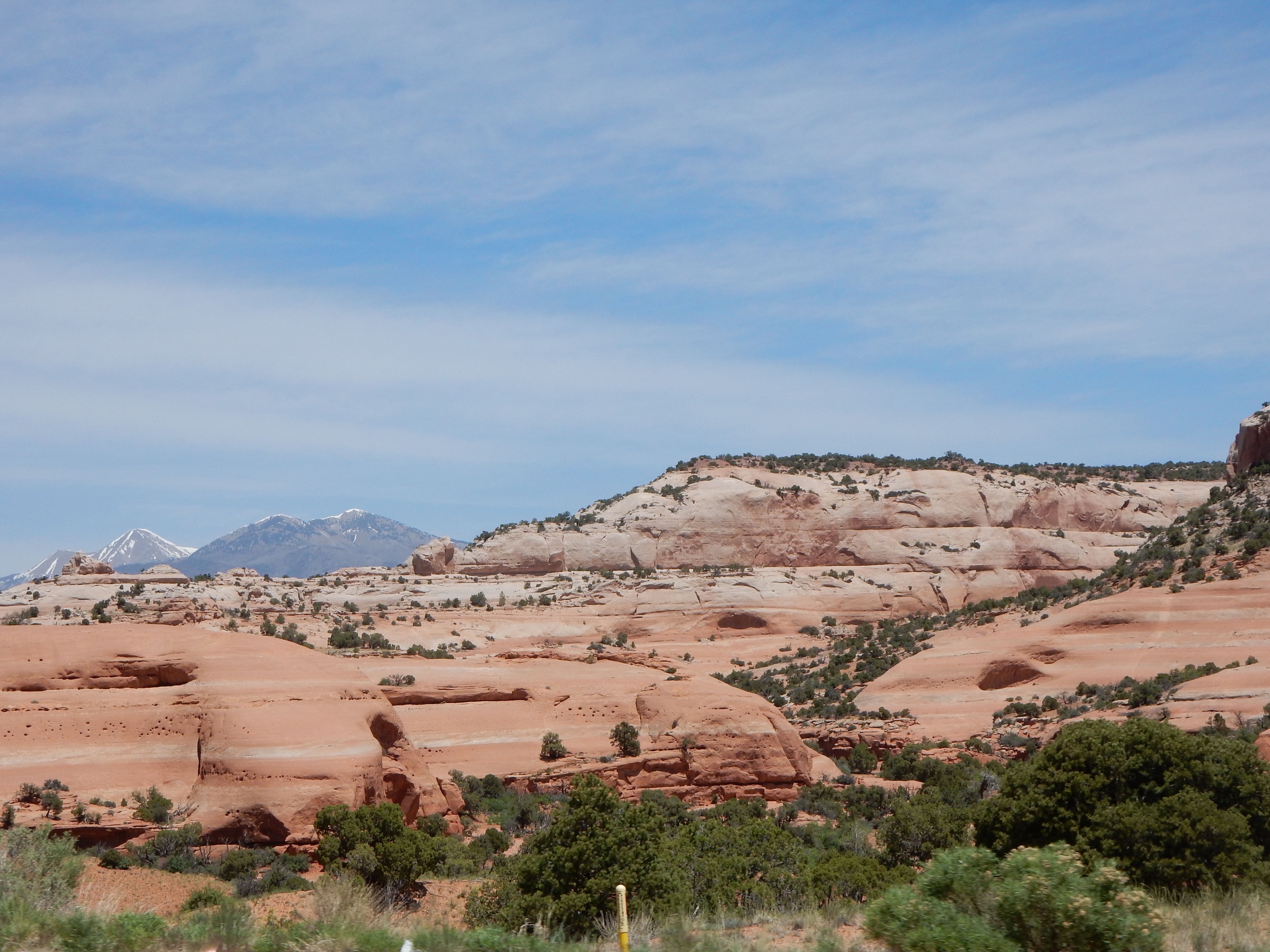
Moab area vista
Moab matured into its modern manifestation of a tourist destination due to mountain biking. Hard to imagine, but the two-wheel mountain bike riding experience has morphed into a locale for mountain biking, river rafting, BASE jumping, rock climbing, off-road vehicle driving, along with simple hiking at Arches and Canyonlands.
Adventurous souls that we are, Thursday was our day to get our toes wet in these experiences. 7:30 to noon was riding the Colorado river on a jet boat. 1 to 5:30 pm was riding back roads on BLM (Bureau of Land Management) land in a 4 wheel drive vehicle. Tag-a-long Expeditions was our toe dipper.

Our boat
The jet boat ride begins with the group riding in a school bus and towing the boat to the Colorado. Among our group were two guys from Denmark filming a promo for Tag-a-along for the Danish market. Another couple were a mother and her adult son. The son took the place of the husband/father who was scheduled to be on the trip but on day one of their experience, he broke his right arm mountain biking. They had not yet determined who was going to drive the truck with attached tow behind RV they had here. The mother does not drive it.

Colorado river
Our drive took us past the uranium mining tailings reclamation site and the potash mining site. Potash used to be mined underground. After an accident causing fatalities, they decided to pump Colorado river water into the mines, allow the water to absorb the mineral, pump out the water and allow it to evaporate leaving only the potash. (They now dye the evaporation ponds blue so it is more aesthetically pleasing.)
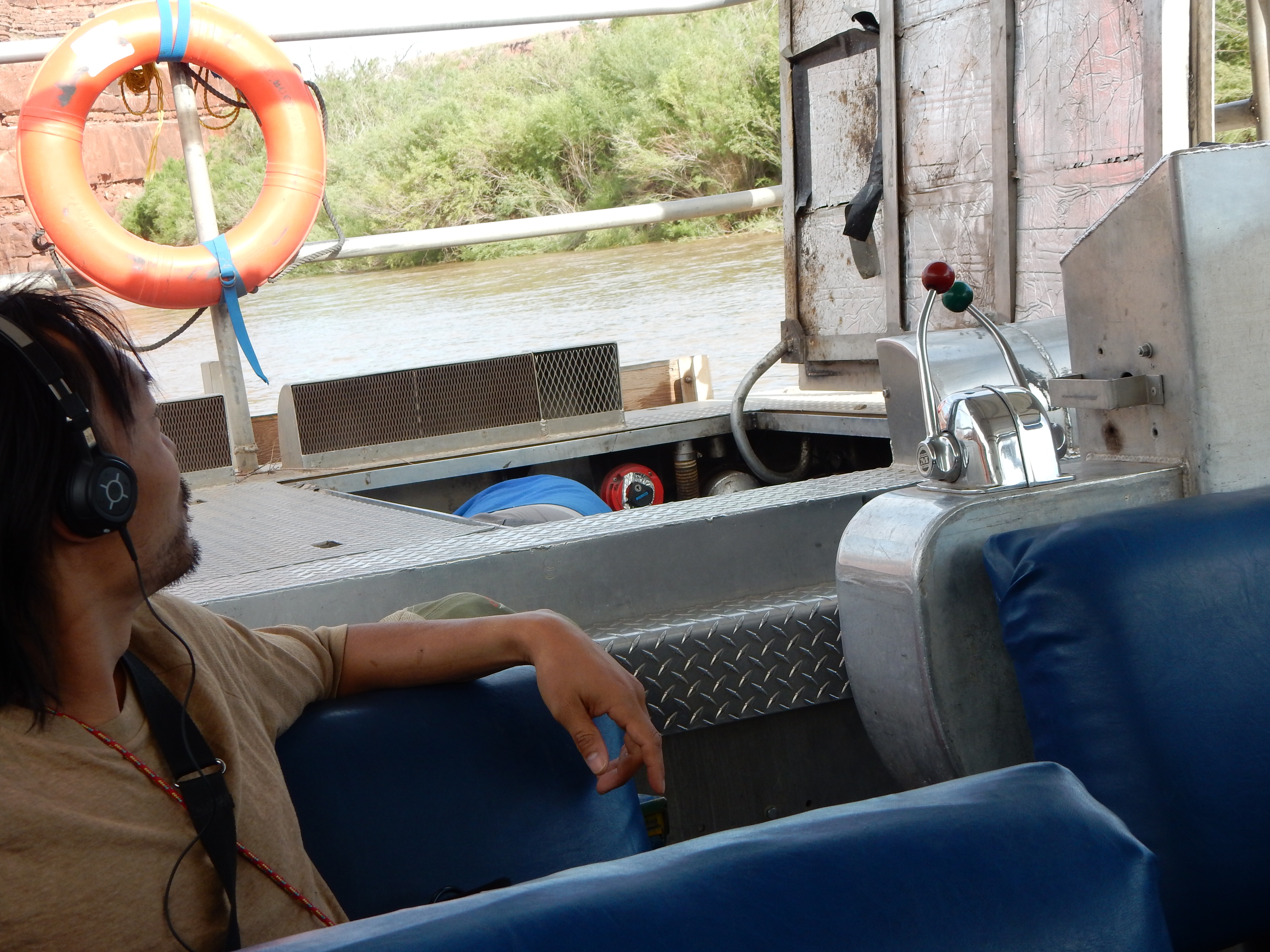
Removing sticks from the impeller
The boat takes off from a landing spot on the Colorado River and as a jet boat does not need deep water to operate. However, the impeller does need to be free of impediments. At today’s high water level, sticks and logs in the river are a major concern. The boat operator had to stop the boat three times and let it drift in the strong river current while he removed sticks manually.

Colorado river
But the view is fantastic. Despite the phrasing of the tour literature, we do not tour Canyonlands National Park, we tour the canyonlands area prior to the park boundary. But the only good views are not within the park and we are enjoying the scene. There is some bottomlands but the red canyon walls are the predominant feature.
At one point, we beach the boat and hike along the bank to a site with some petrified wood and nice wildflowers. The flowers are vivid and varied, we lucked out in our timing of this trip.
On the return trip to Moab, we pass a site with Fremont Indian petroglyphs. A little further along about 30 people are rock climbing.
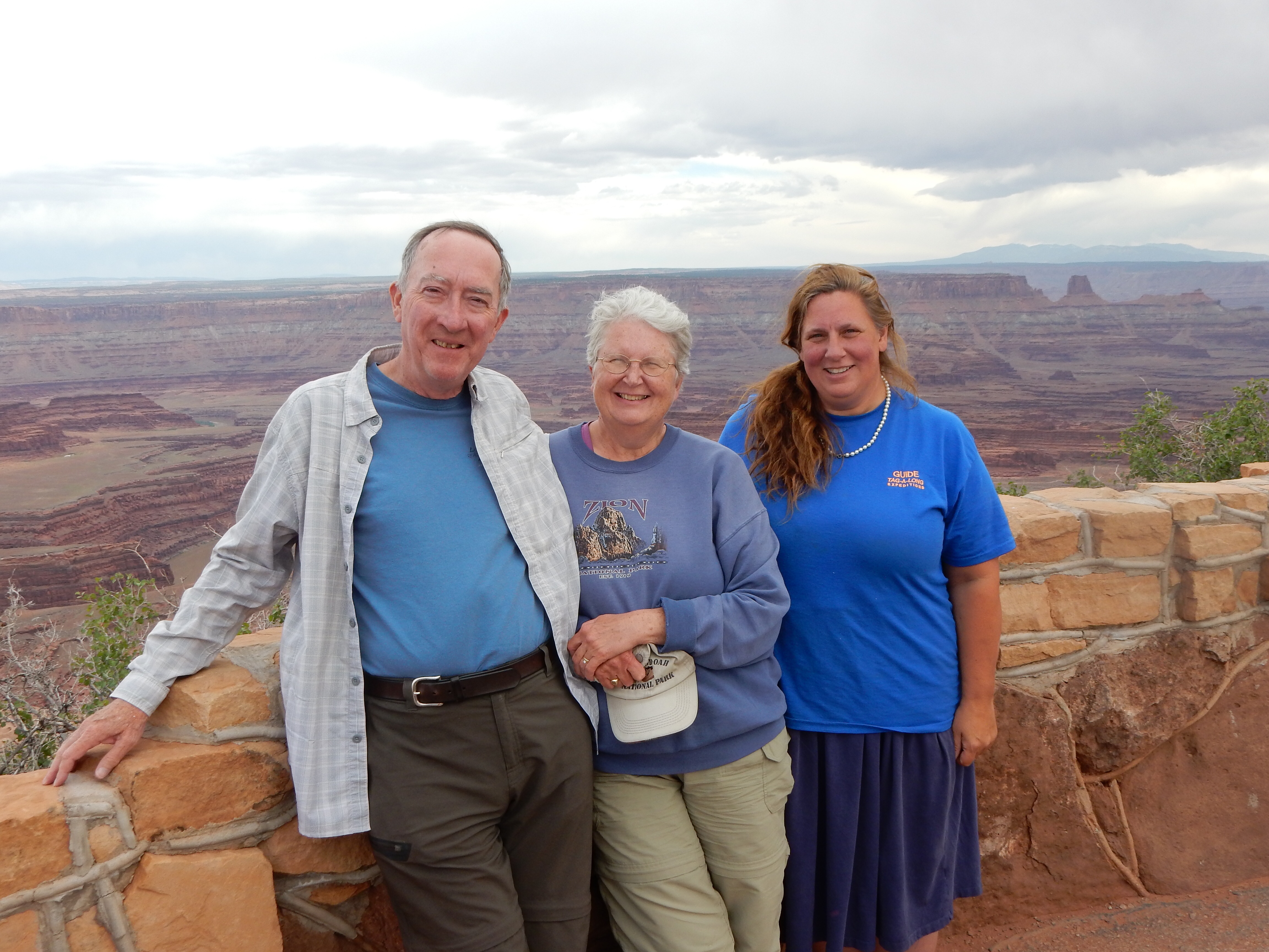
Ed, Chris and Kristen
Lunch is sandwiches at the tour site and then we are off with Kristen in the 4 wheel drive vehicle. The mother and son combo are with us on this trip. It is not an extreme Jeep or off-road vehicle but a high clearance, wheel drive Suburban type. (Two of their four Jeeps are in the shop for repairs.)

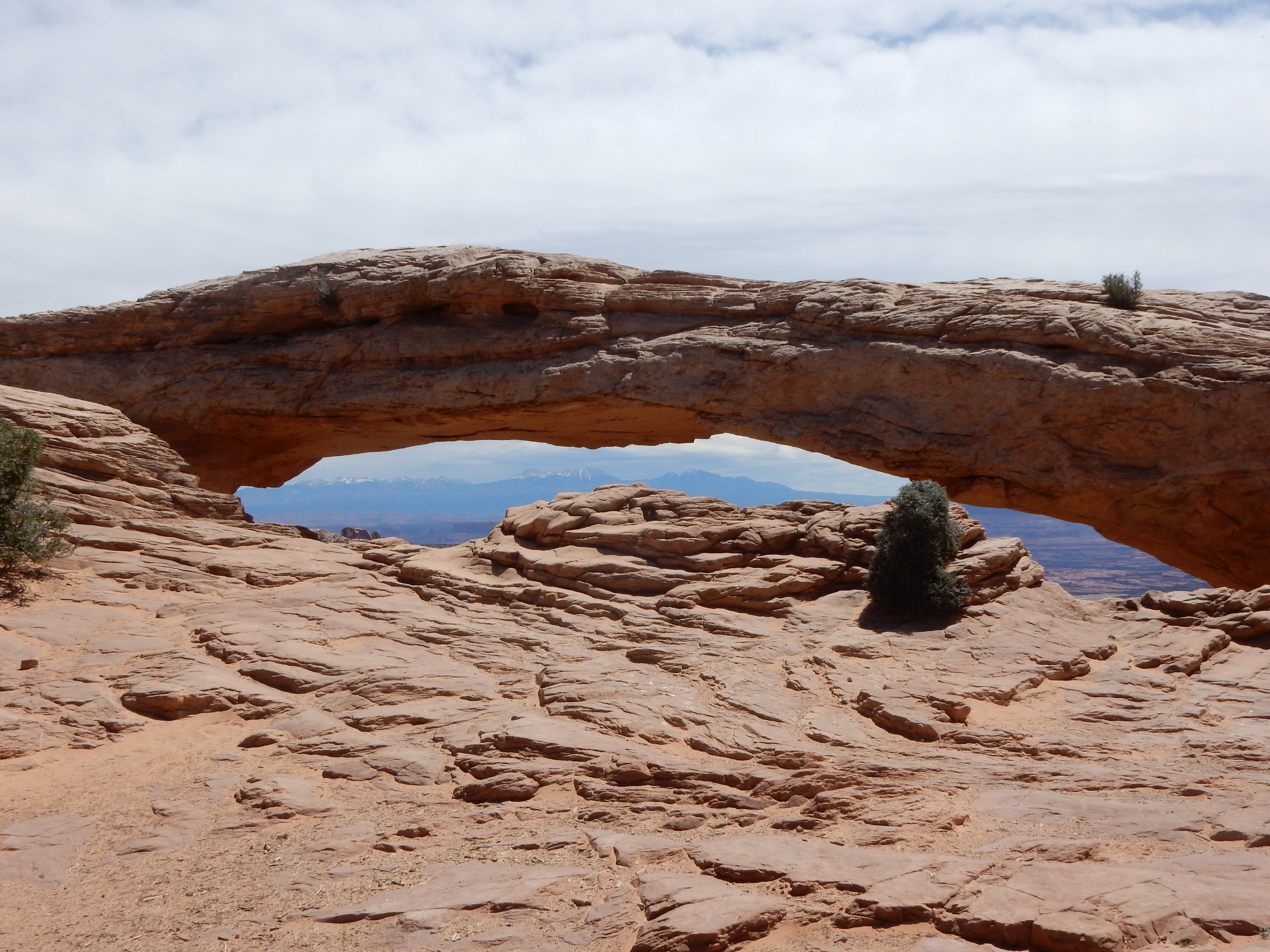
Canyonlands view
Our first experience is a doozy. While we have driven curvy mountain roads with sheer drop offs, I had no reluctance to allow Kristen to be the driver on this excursion. The road was more rock than gravel, was two-way but one lane, had sheer cliffs on one (Chris’) side, and we shared it with some mountain bikes. This first drive, along with the last one, had an elevation change of about 1500 to 2000 feet of cliff hugging roads. I doubt the pictures do it justice. I am sure for many people, it would be a simple drive to work but it was plenty adventurous for us.

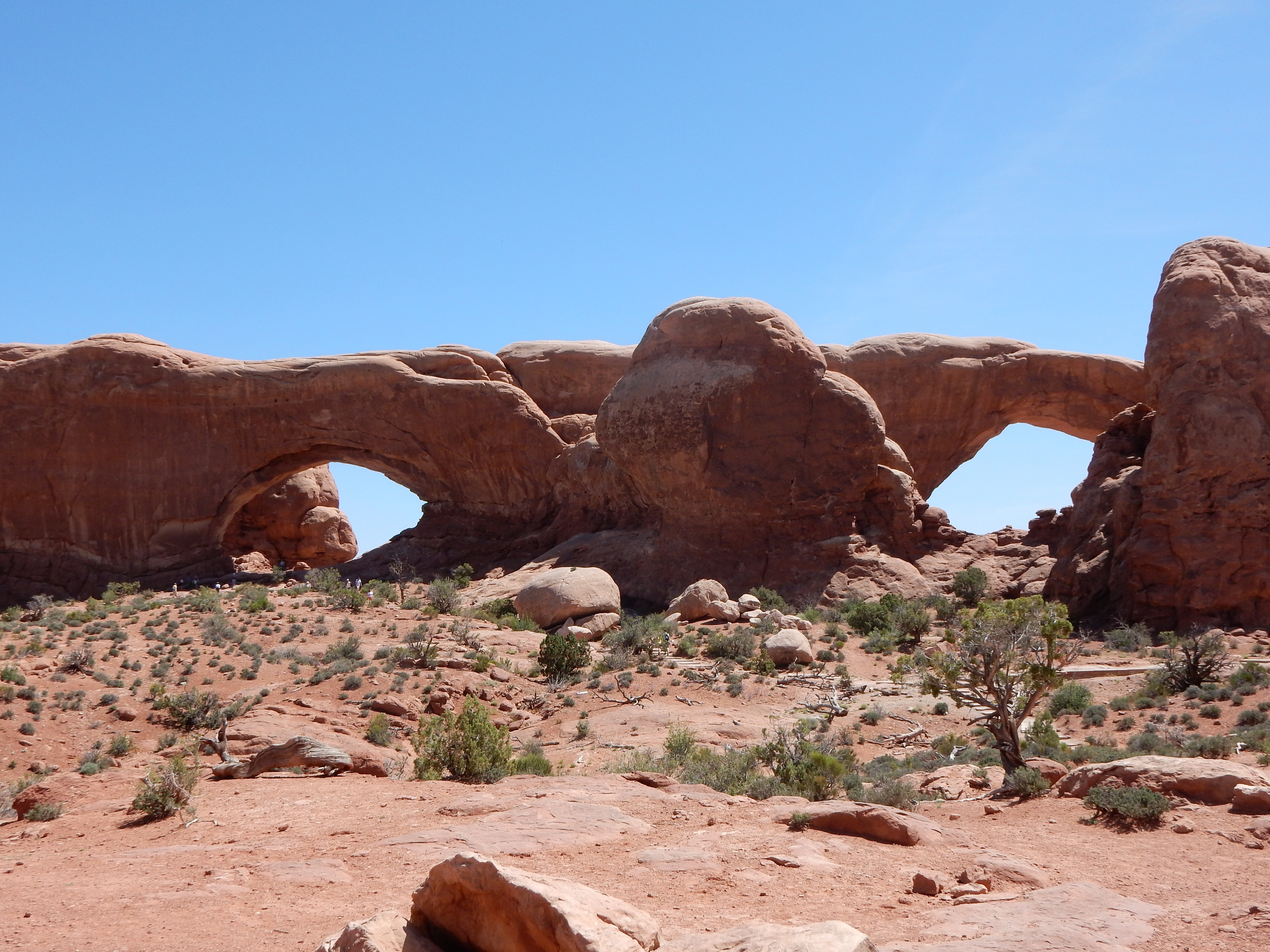
Mountain bikers looking at Gemini Bridges, twin arches with crevasse
Once at the top, the road surface did not improve but now we were driving along the mesa top and looking down and across. BLM land is managed for multiple uses so this area includes marked mountain bike trails, off-highway vehicle trails, and oil drilling.

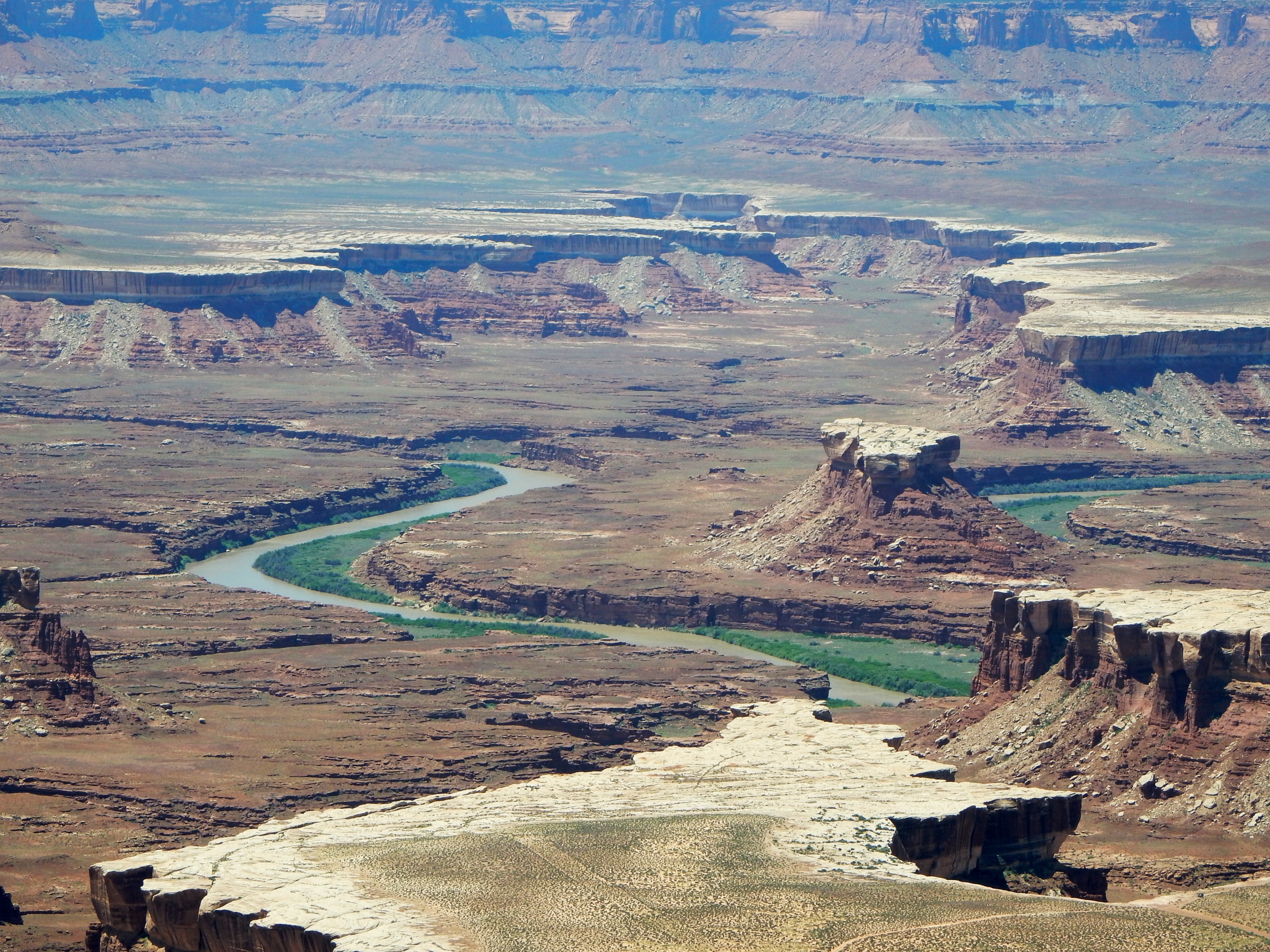
View from Dead Horse Point including potash ponds
We did make a stop in Canyonlands Park and at a state park, Dead Horse Point State Park. From Dead Horse Point, we could view the potash mining ponds and several movie filming sites. The Moab area seems to compete with Monument Valley for film-making. Kristen said that some film makers have a hard time dealing with the cash only policy on the Navajo lands.

Driving down Longs Canyon
The final scene from “Thelma and Louise” where they drive the car off the cliff was filmed in this area as was a section of Tom Cruise’s Mission Impossible II.

View from Long’s Canyon
Our drive home was less cliff threatening but just as bumpy, steep, and thrilling. The day was a full one with plenty of new experiences.
Ed and Chris May 23
Attached are two videos. The first is a short portion of the Colorado River trip and the second is a brief section of the drive back to Moab Thursday afternoon down Longs Canyon.


Recent Comments