
Gallup New Mexico, Saturday Dec. 28th
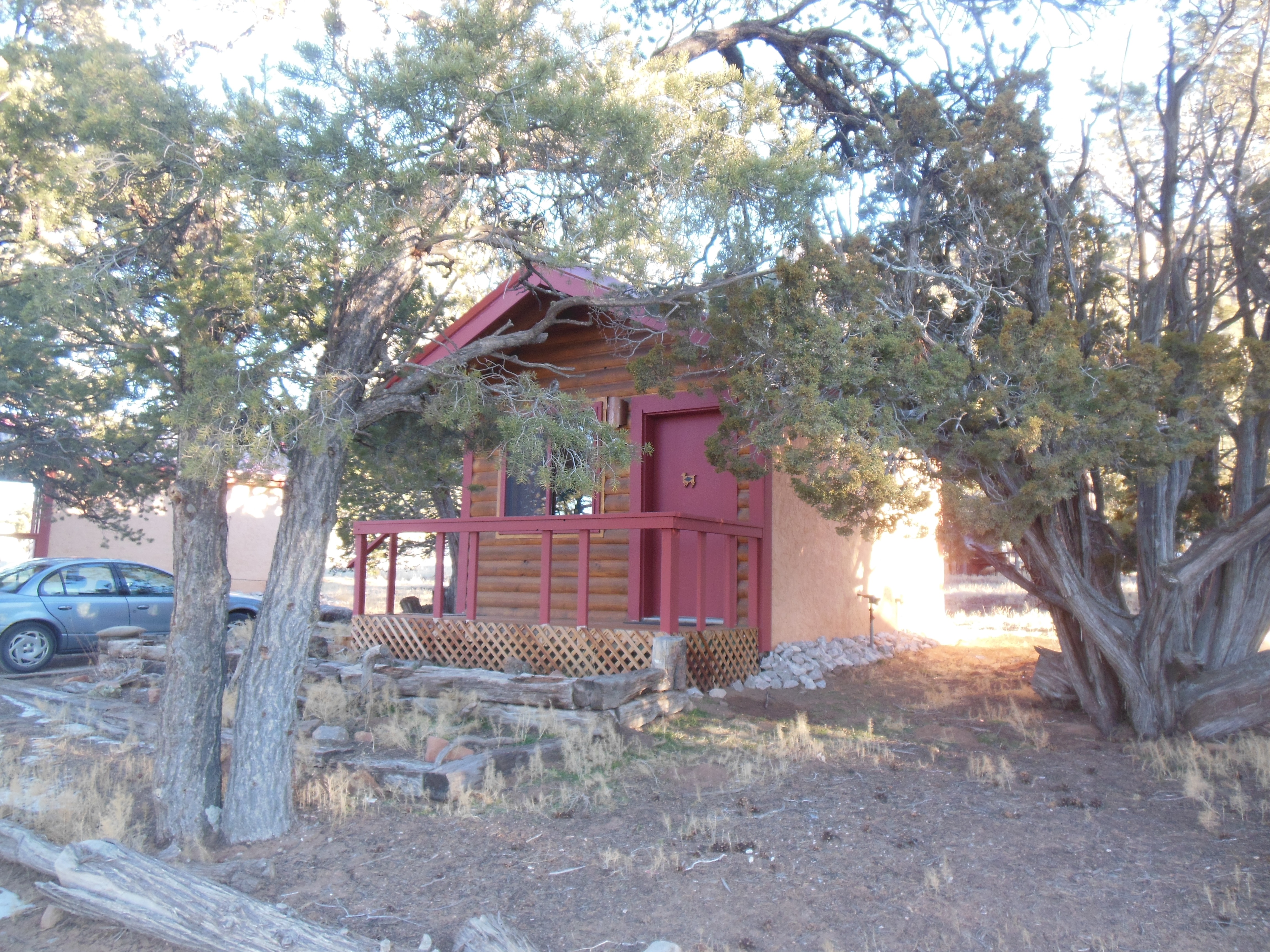
our lodging at El Morro RV and Cabins
We just had to sleep in this morning. The Ancient Ways Cafe did not open for breakfast until 9 AM so we forced ourselves to sleep longer than usual.
El Morro National Monument
We wanted a meal with protein because our first stop of the day was El Morro National Monument where we expected to do relatively strenuous hiking. For breakfast, the chef split a vegetable omelet in two portions and with potatoes and toast, it was a good start to the day.
We discussed the great weather with the cafe manager; the previous years have been snowy and below zero at this time of the year. Of course he proceeded to mention that only in September is the weather usually nice. Between mud season, wind season, monsoon season, bug season, etc.; September and maybe early October are pretty good months.
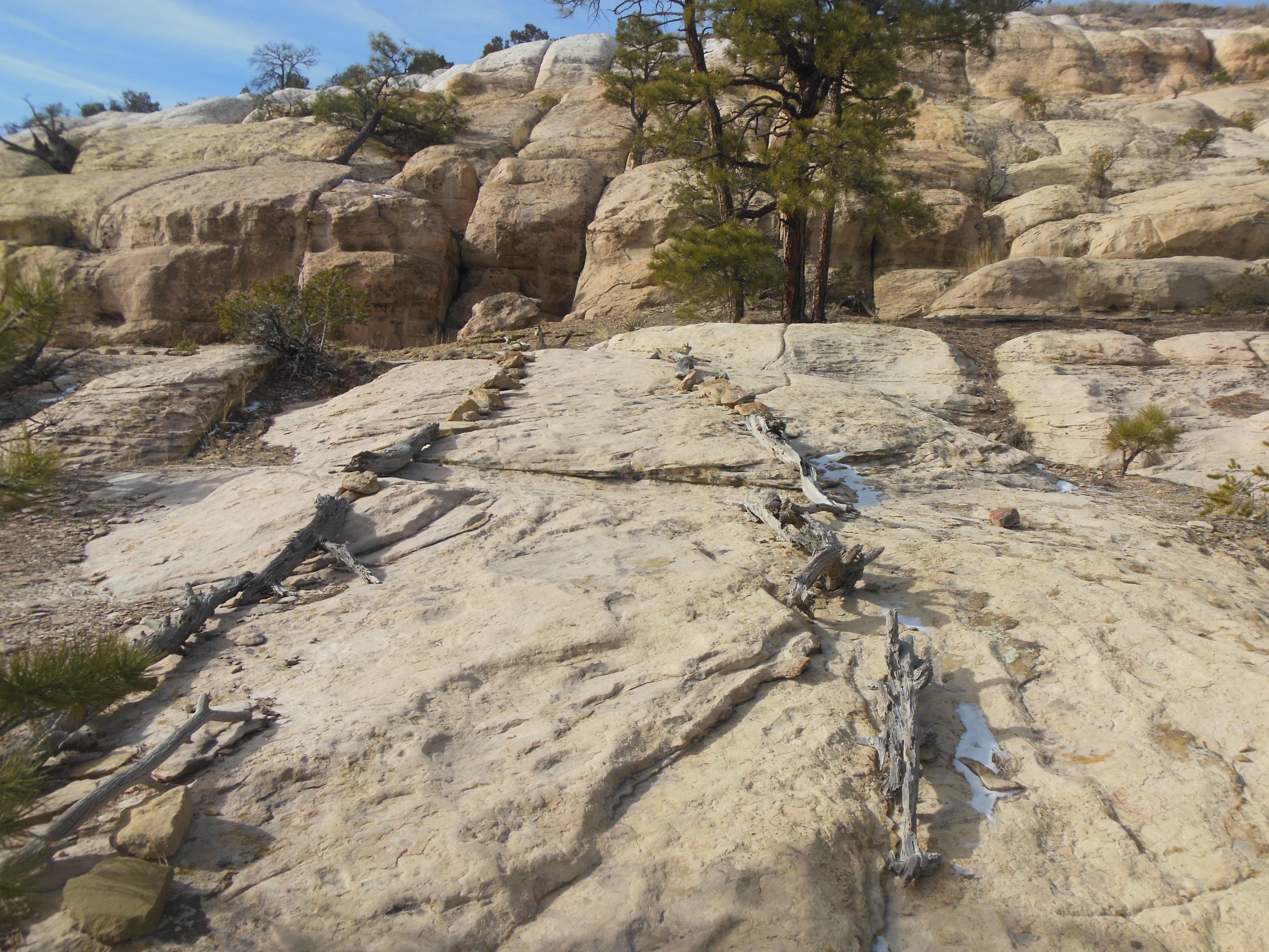
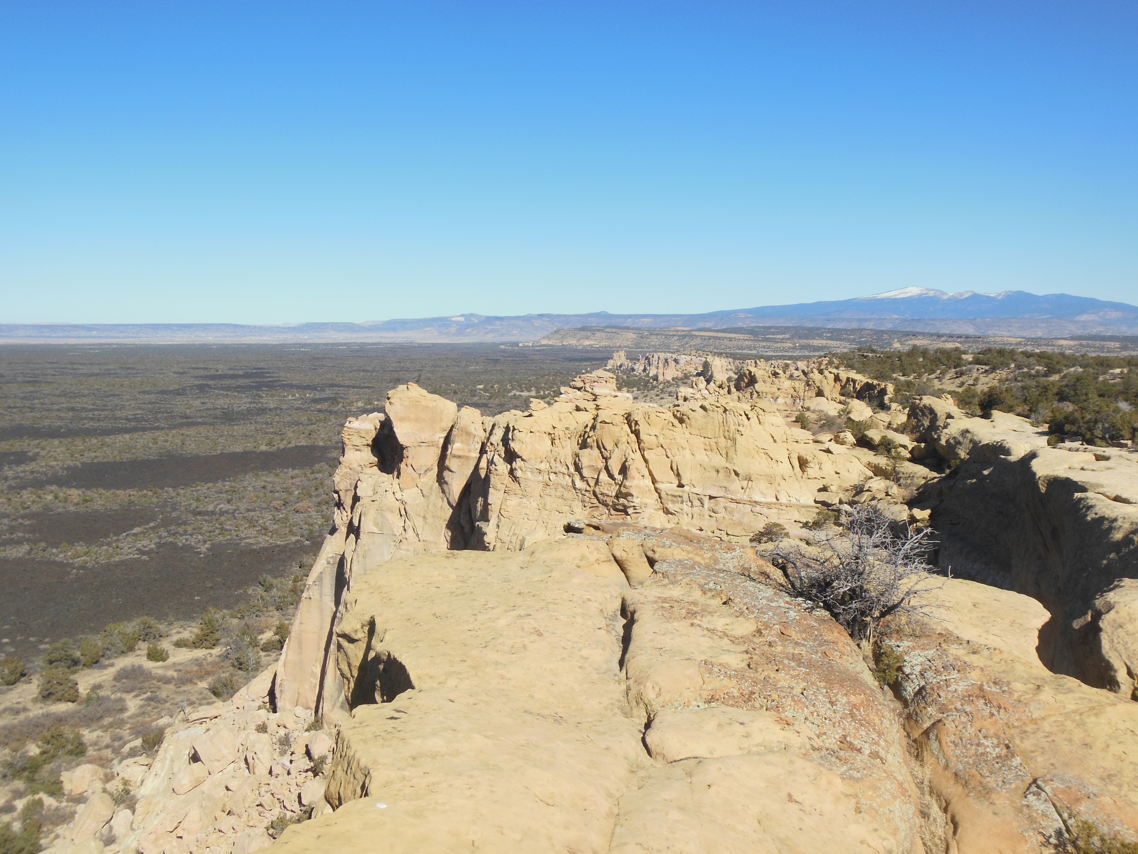
The “trail” on top of El Morro
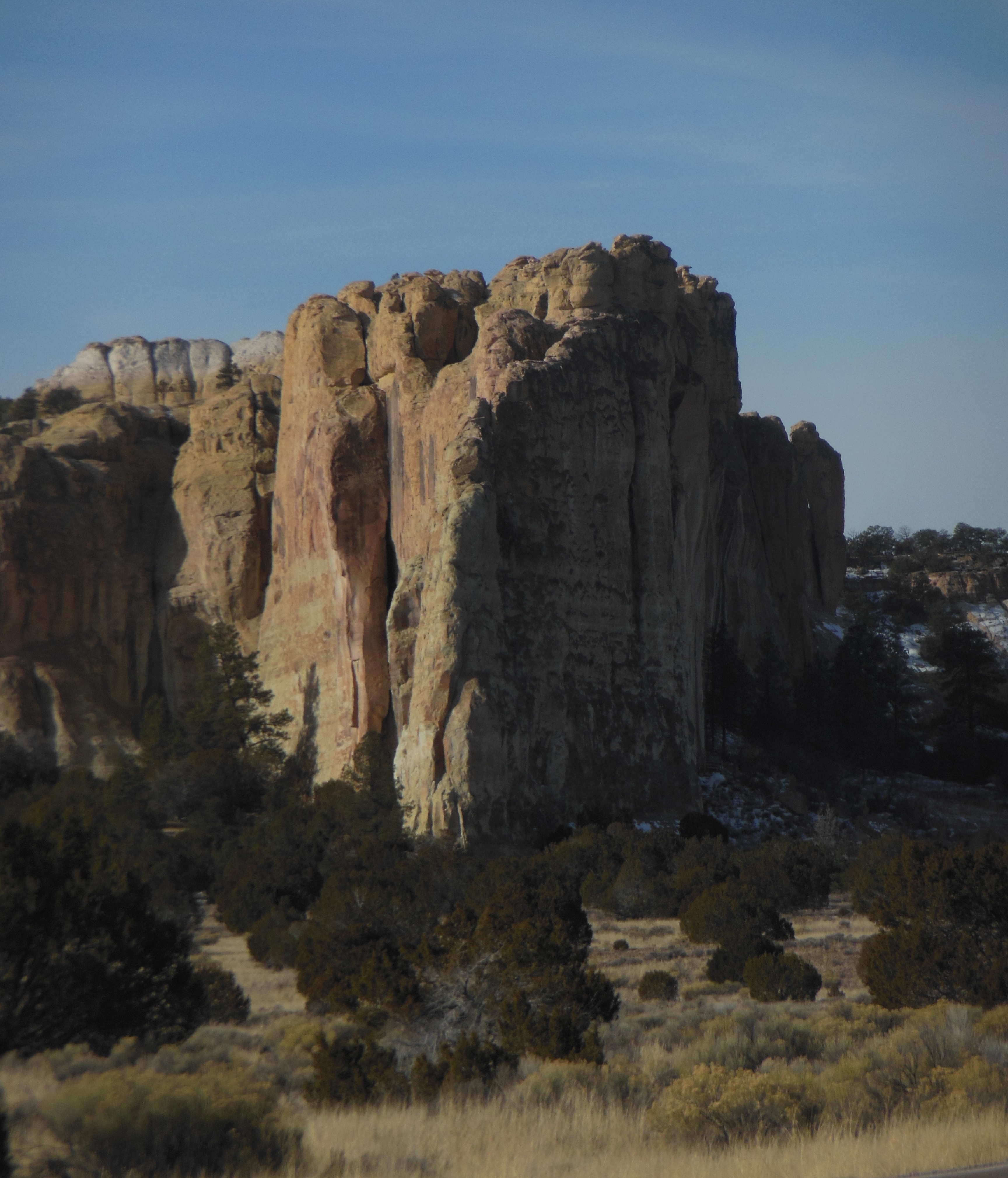
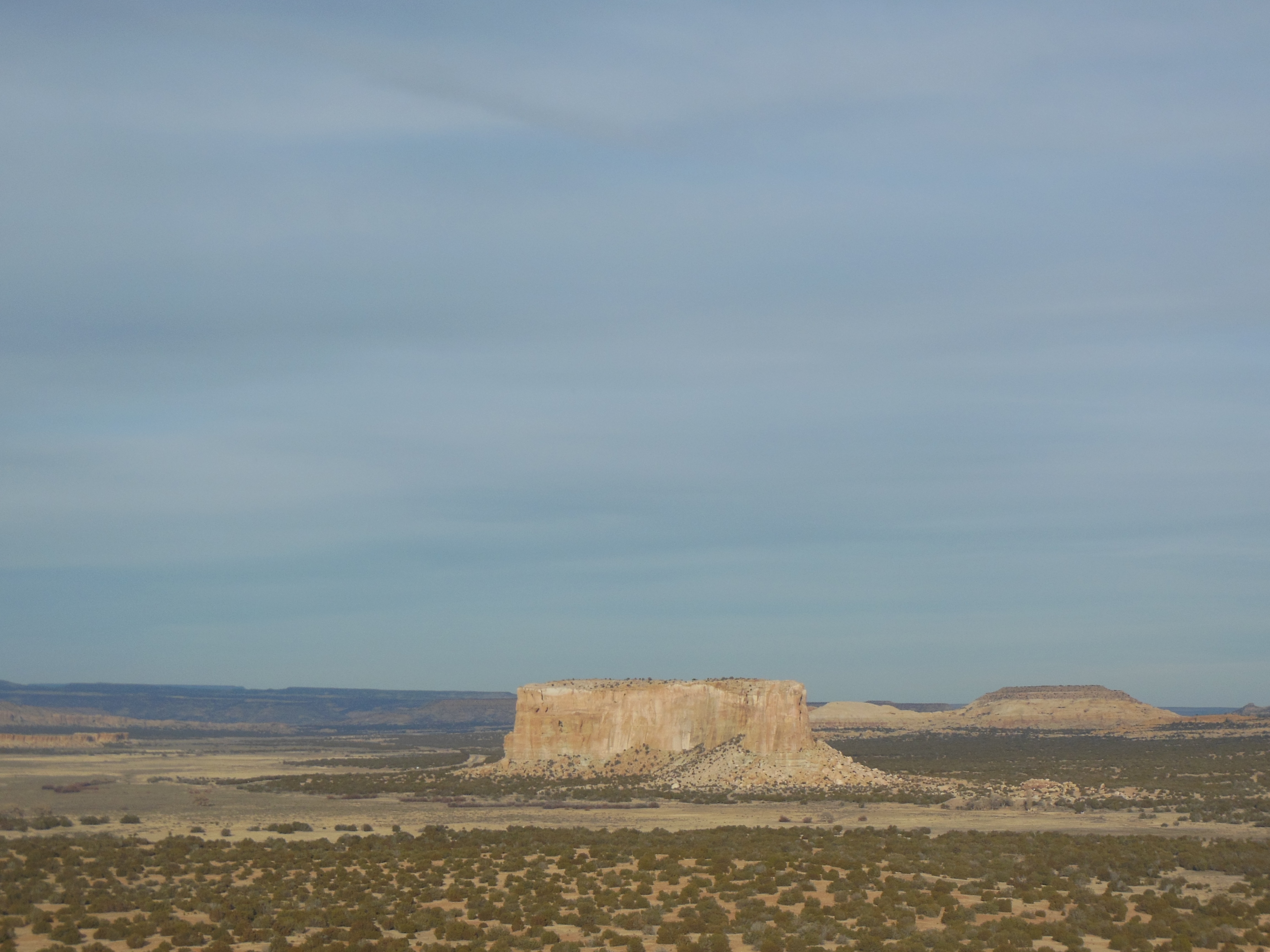
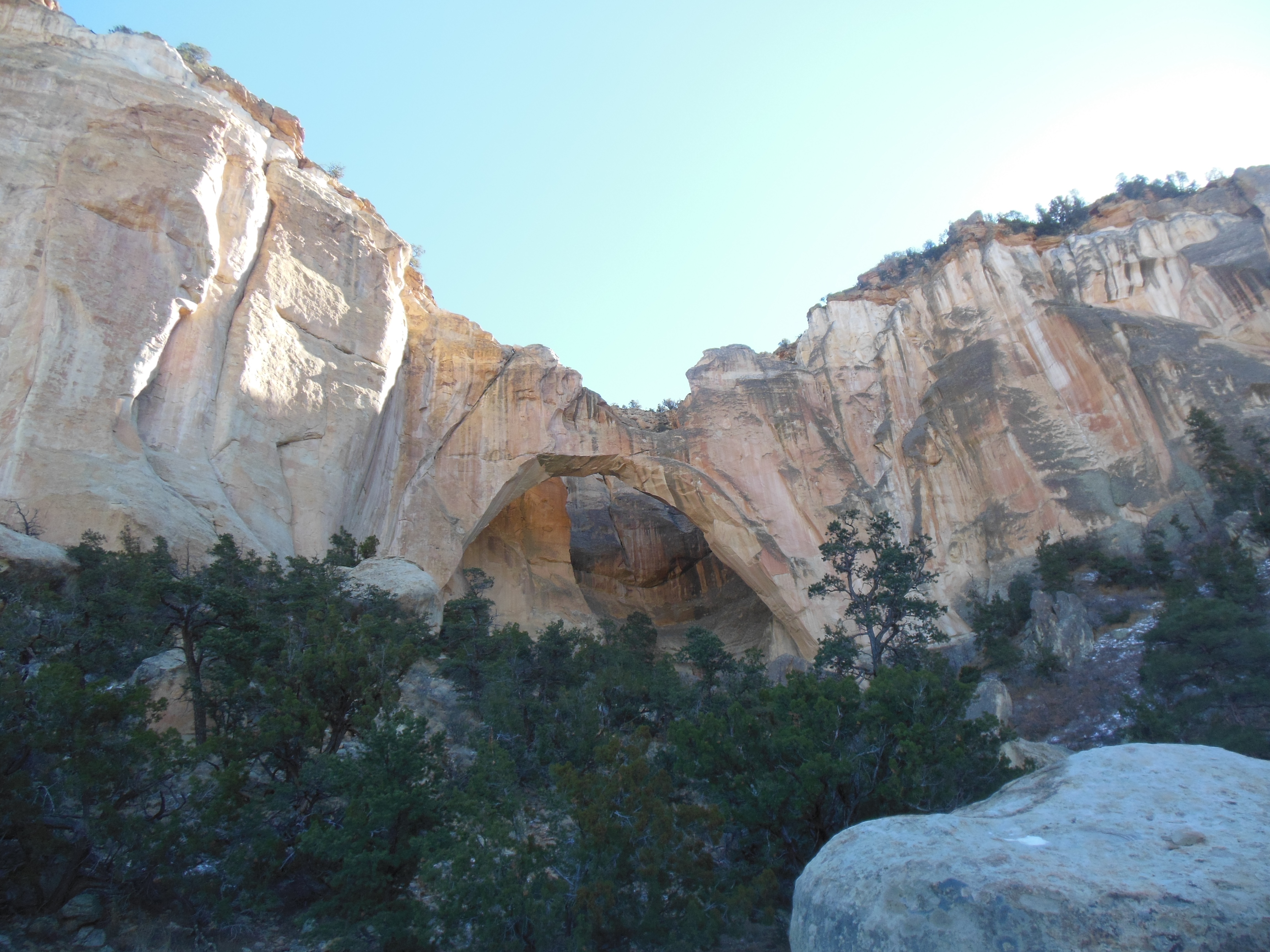
El Morro (which means the headland in Spanish) at first resembled Devil’s Tower in Wyoming. However, numerous differences became obvious. First and foremost, you do not walk around El Morro. You walk up it, around the top, and then back down again.

pueblo ruins on top of El Morro
El Morro is not sacred to the local Indians. However, it does have a year round supply of water. This dependable water comes from rain and snow melt; it can get as deep as 12 feet and is not known to have gone dry. Thus it has been an important location for Indians, and colonists from Spain, Mexico, and America.
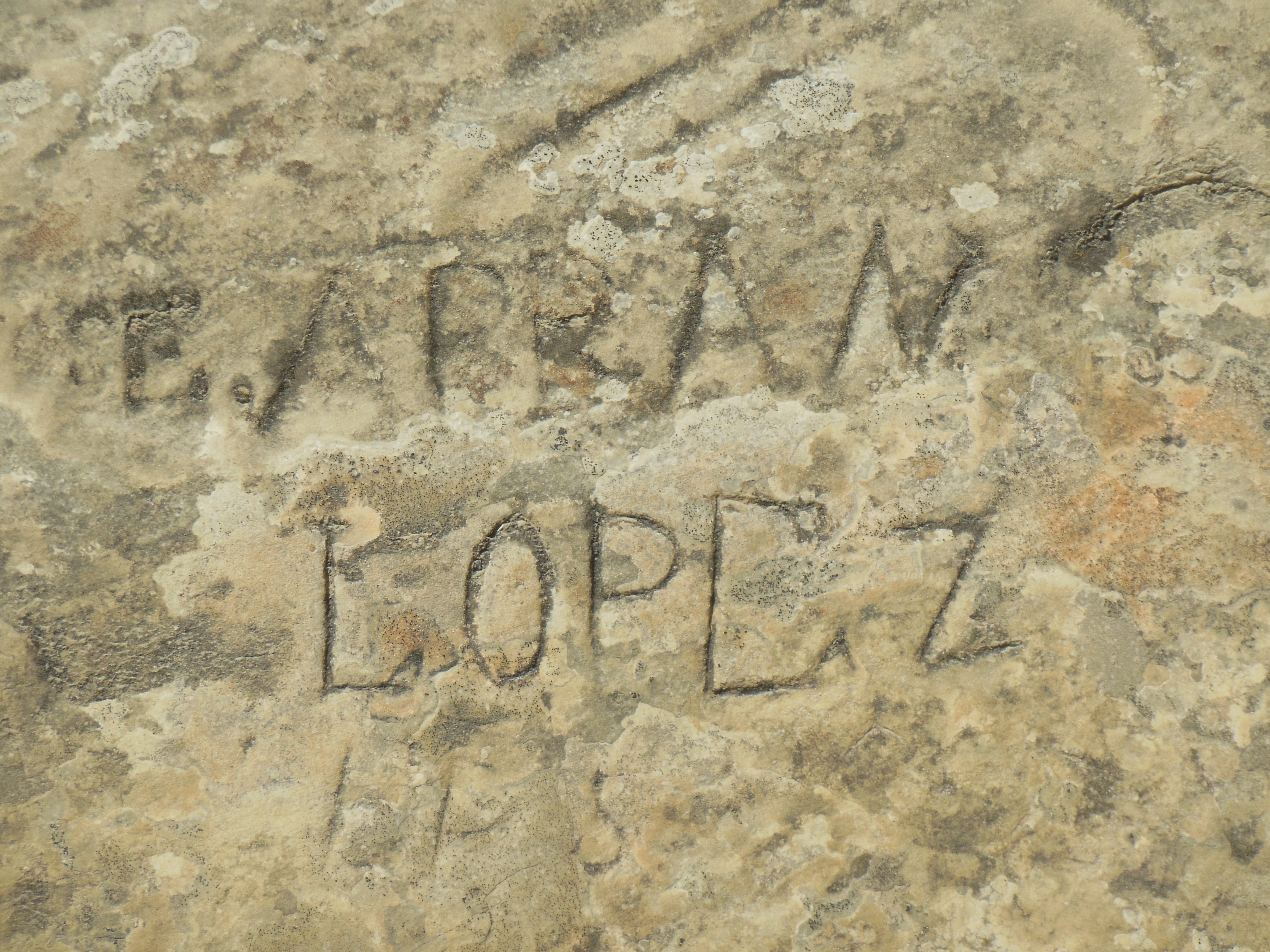
One of the inscriptions at Inspiration Rock
The base of the cliffs have soft sandstone. Besides Indian petroglyphs, there are carved names and messages from European people as far back as 1605. Unfortunately there have been more modern writings also which have had to be removed.

The pool of water at foot of El Morro
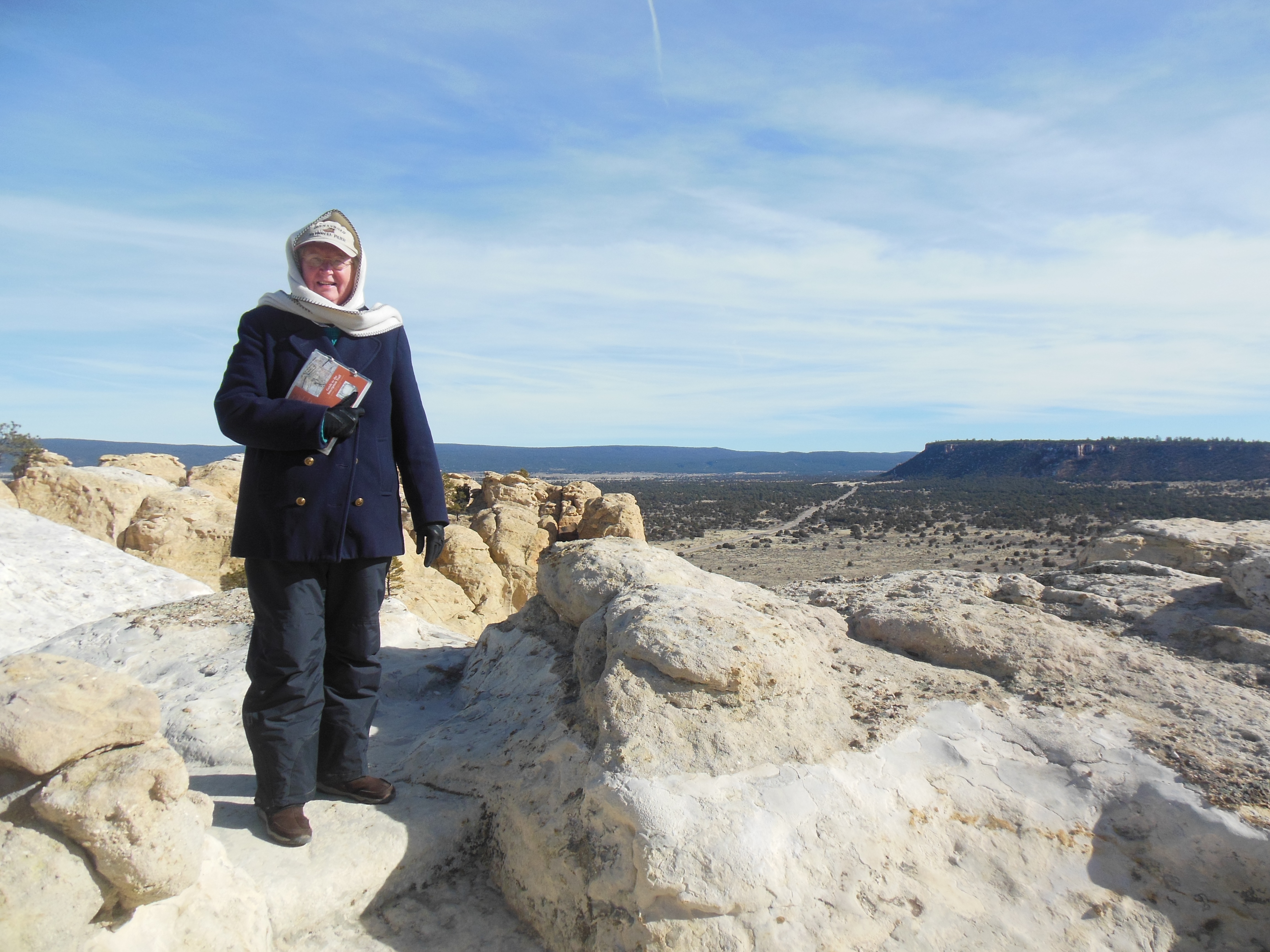
After an introductory video, we began our ascent. There are stairs and switchbacks leading to the top 250 feet above us. With the elevation and uneven sandstone surface, the hike was a bit strenuous but rewarding.
Chris along El Morro trail

Ed on El Morro
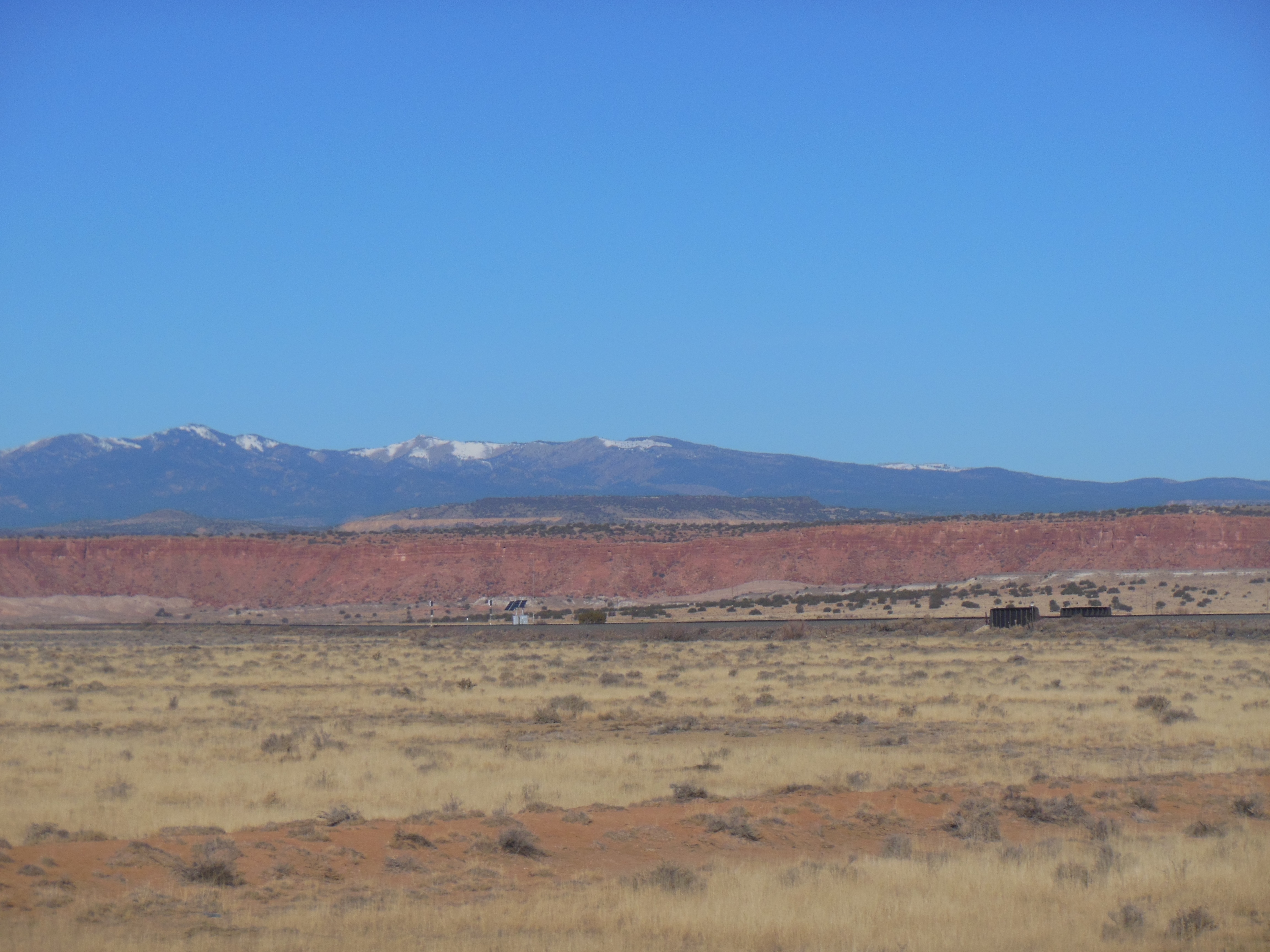
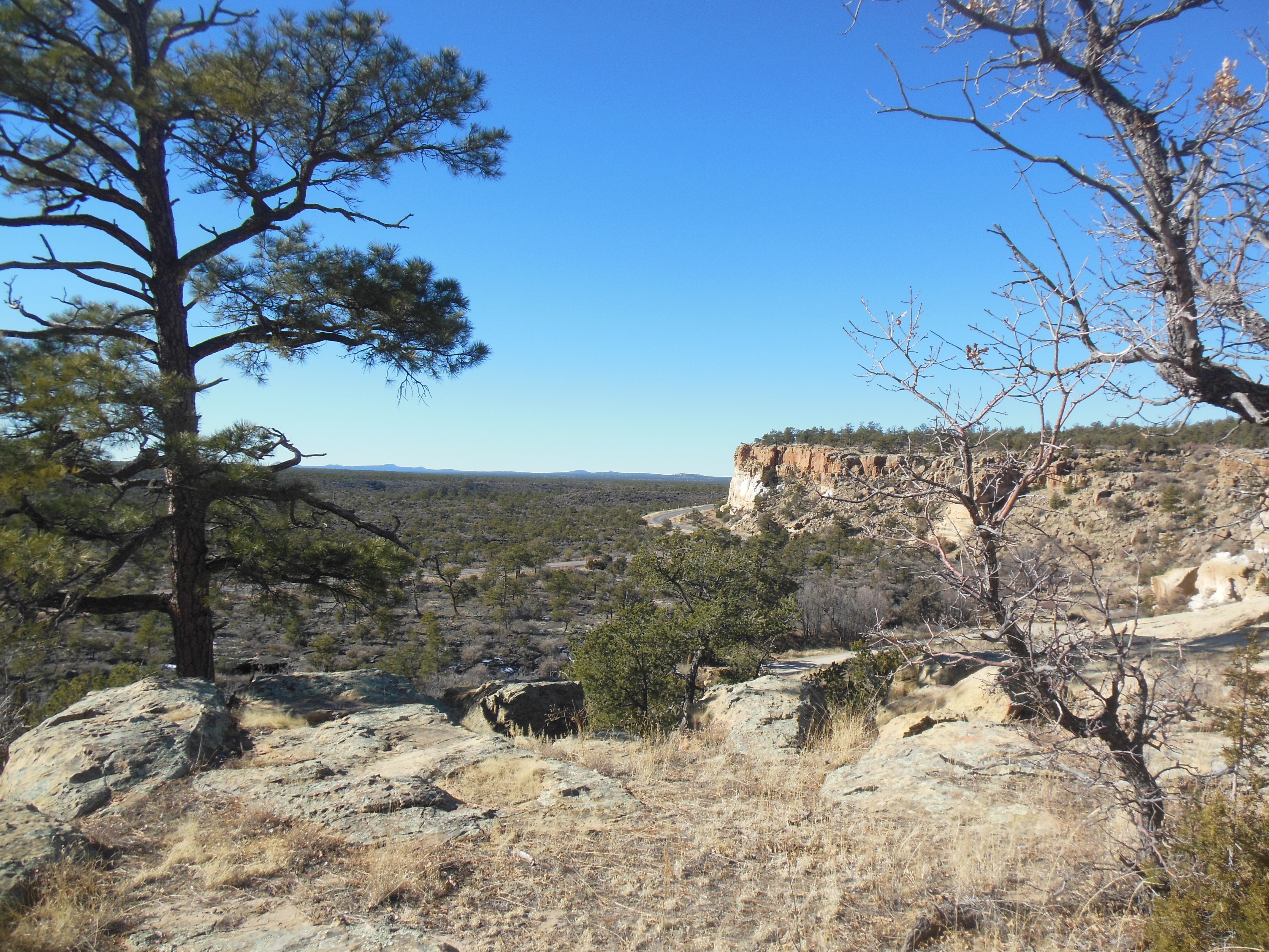
From the top of El Morro, we were able to see the El Morro valley, the Zuni mountains, and the volcanic craters of the El Malpais area we visited the day before. The hike was good and the views were spectacular.

Looking down at Box Canyon
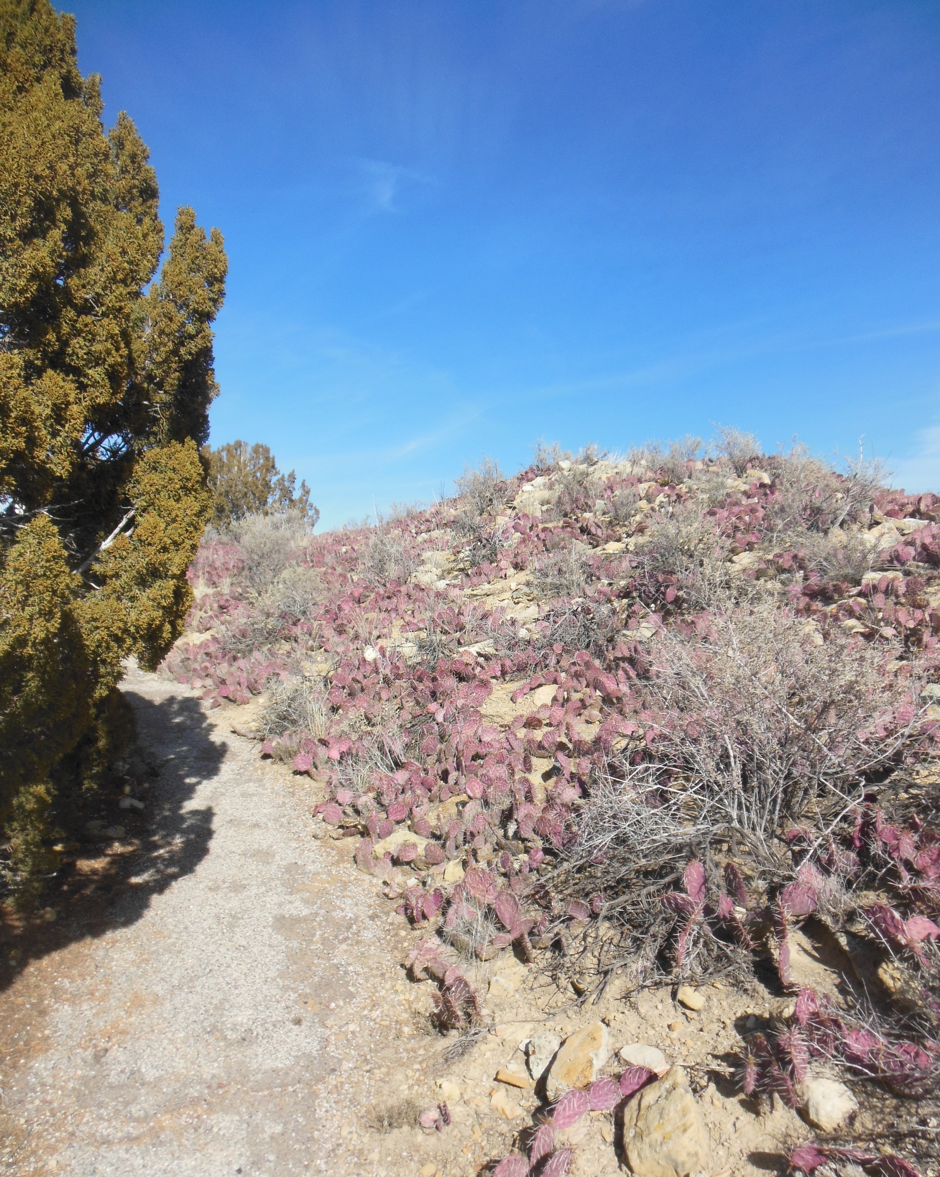
Cactus on top of the mesa
At one point along the top of the mesa, portions of an abandoned pueblo had been excavated. This had been an 850 room pueblo accommodating 1500 people. It was only occupied from about 1275 to 1350 A.D.
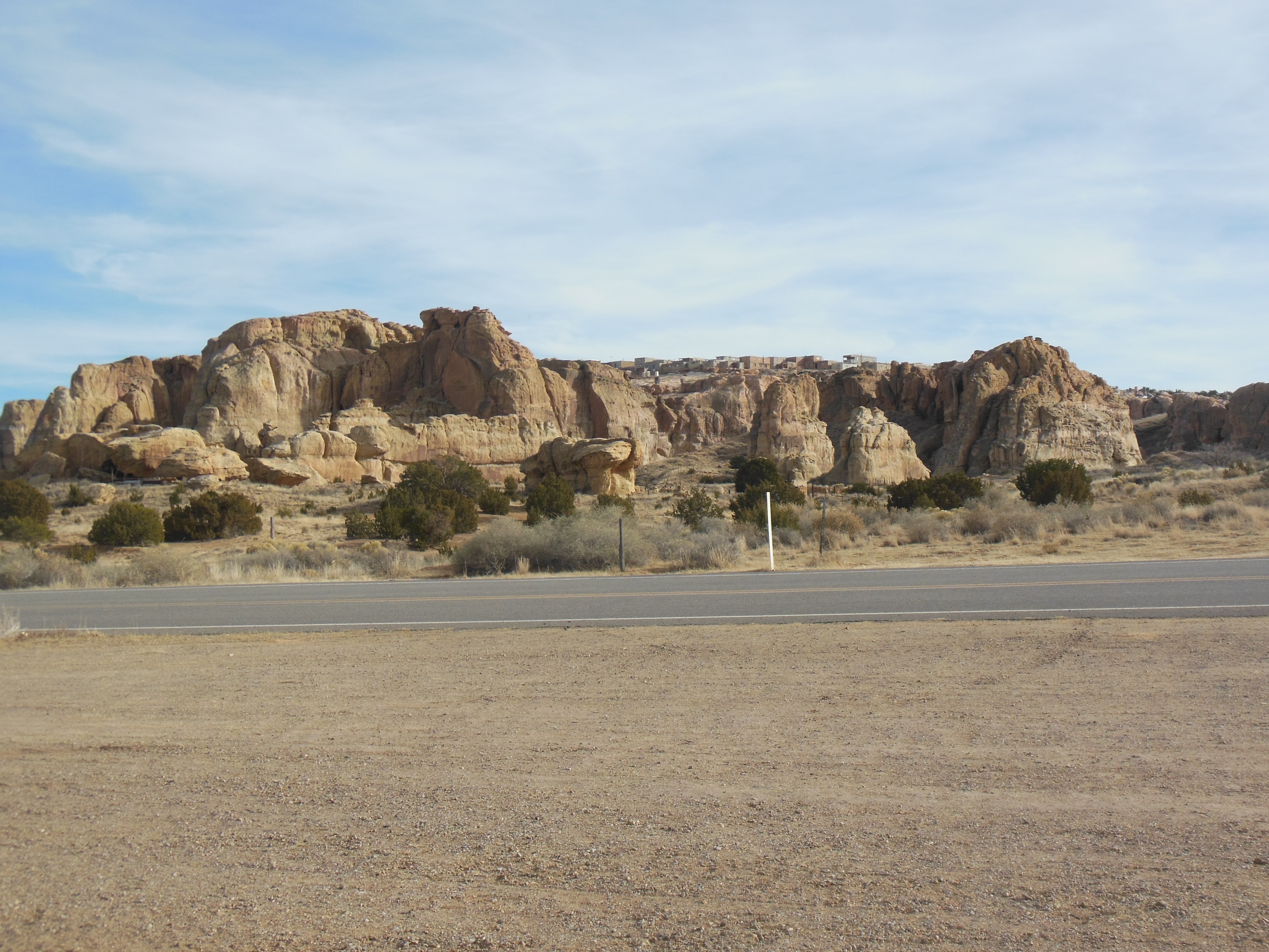
Acoma Pueblo from a distance up on the mesa
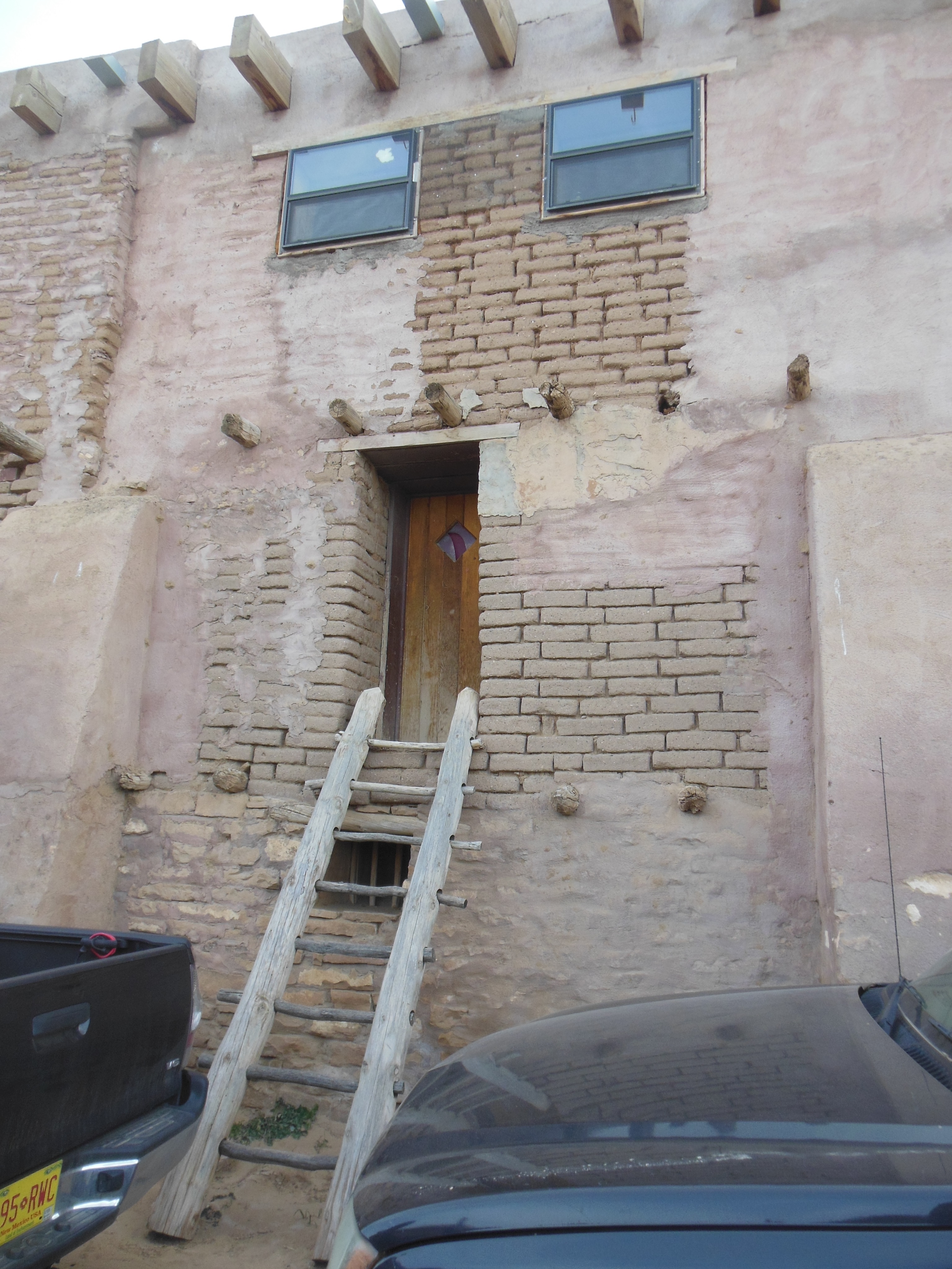
Our second stop of the day was the Acoma Pueblo (Sky High Pueblo). During winter months, the pueblo is only open on weekends. We had to backtrack to the east in order to visit it. The Acoma Pueblo is on a mesa 370 feet above the valley floor and has been occupied since around 1100 AD.
The Pueblo is on the top of the mesa for safety. There were limited means to the top until a TV show in the 1970s wanted to do a show there and installed a gravel road to the top. It was paved in the 1990s.
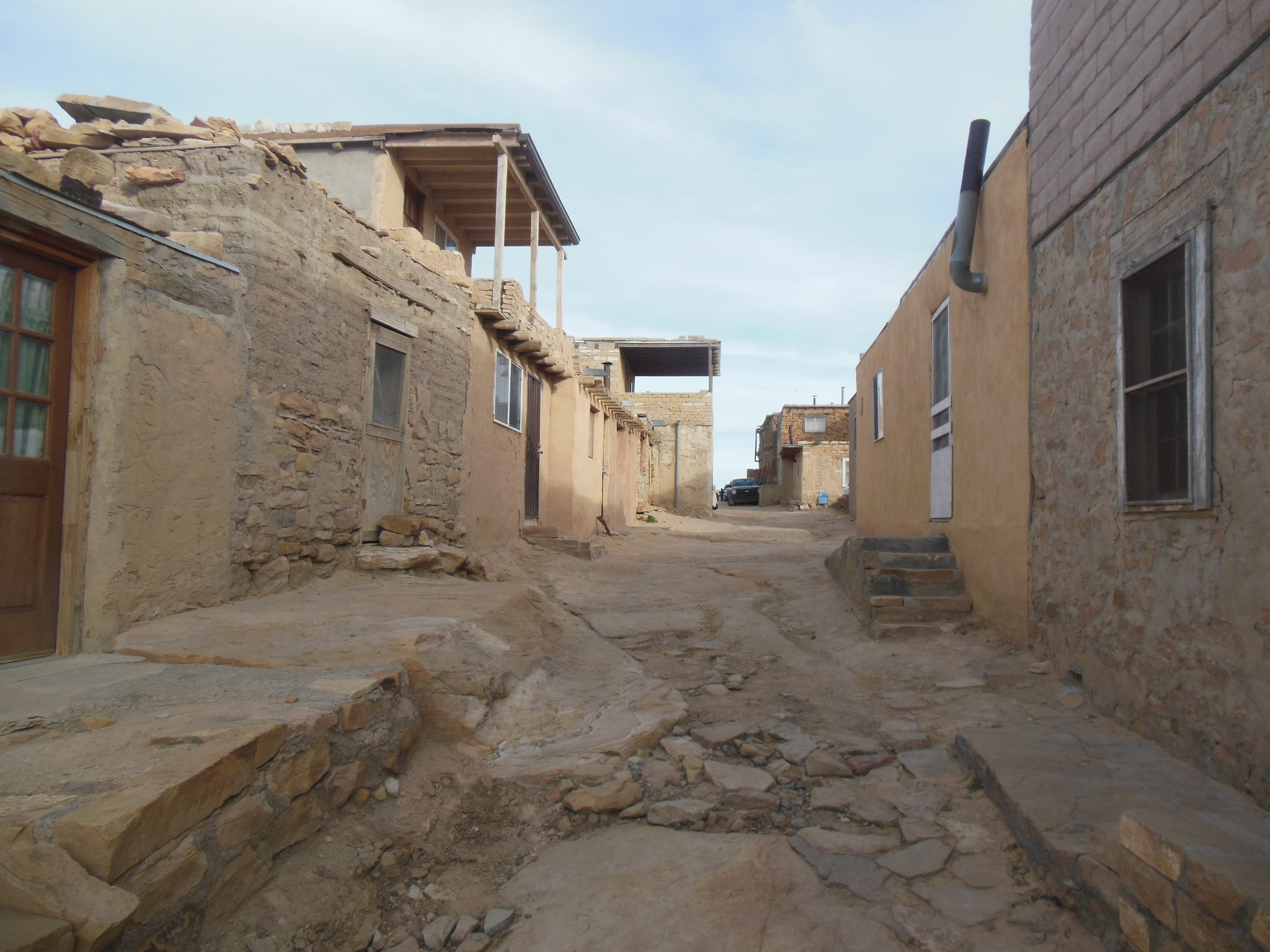
Homes in the Acocma Pueblo
The Acoma people now live primarily in valley areas and run several businesses, including a casino/hotel and the pueblo tours and museum. They are noted for their pottery making which they still craft today.
The Sky High pueblo has about 350 homes, which are passed down through the generations on the matriarchal side of the family. Less than 25 people live up there year round; there is no water, electricity, wastewater, etc. Extended families usually return to their homes for feast days and possibly weekends. Today was a busy day due to the Christmas holiday and feast days.
Acoma Pueblo
The admission price to the pueblo includes a camera permit so we were able to take photos of the buildings. People and dancers were off limits as was the interior of the mission church. Our tour includes a shuttle ride up and down and although given the option to walk down, after El Morro we were willing to take the shuttle.
The tour itself was worthwhile and we gained additional knowledge. However, I have to say that the guide could have been more educational; much of his information was only imparted when people asked questions.
Enchanted Mesa from Acoma
Worse in my mind, the tour seemed more like an extended pitch to buy local arts and crafts. We stopped at about 10 locations and each location was in front of a group of locals selling their wares. Very nice wares, I admit. But each stop was overly long, most of the time, the group was simply standing around. The afternoon was cool and very windy so we were all cold.
From Acoma we drove to Gallup, close to the Arizona border. Given that we did not have lunch and the long hike, we planned to treat ourselves to a steak dinner at a local restaurant. Of course, our iPhone spotted the restaurant at the wrong spot. We had to go to the hotel first and get new directions.
Ed and Chris Dec. 28th


Recent Comments