
Today’s theme is waterfalls. That is not all we did but the waterfalls overwhelm the other views. Yosemite is large, we are staying two nights in the southern end. Sunday we head out to Yosemite Valley, the most visited and well known area of the park.
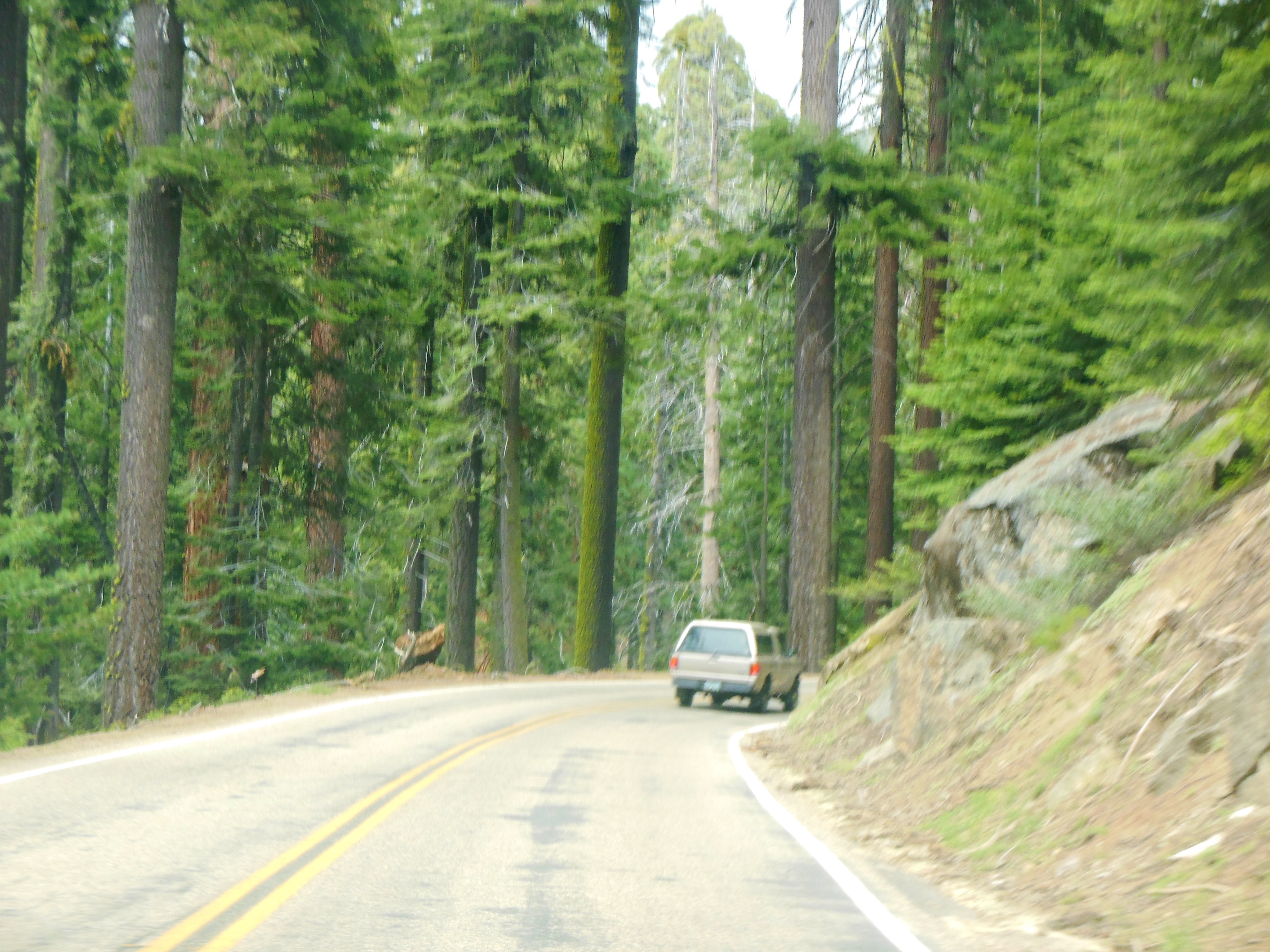
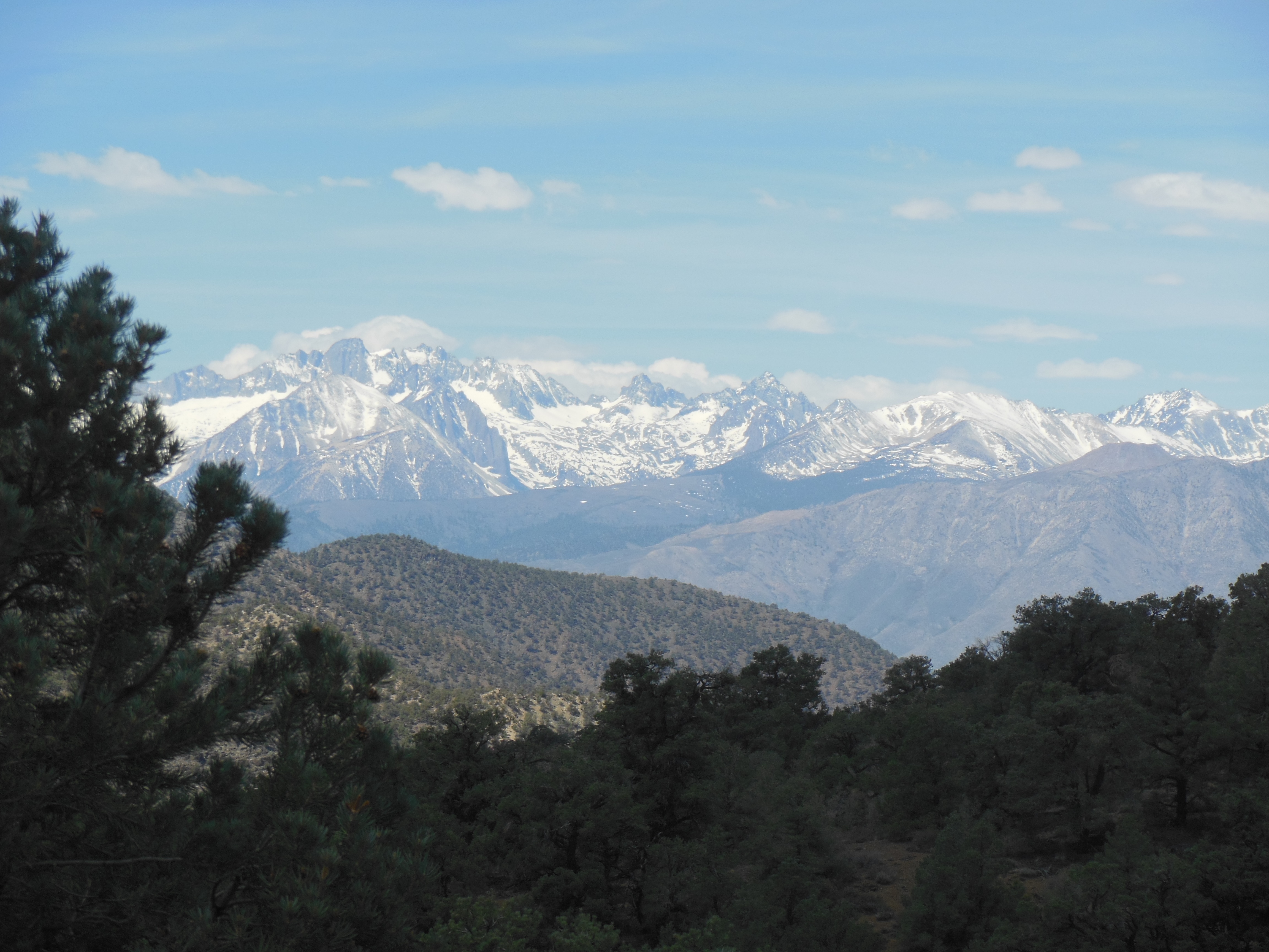
Today we drove an hour to Glacier Point, and a few other intermediate view points. The drive there is scenic but does not compare to the final destination view. Glacier Point is at 7200 feet and you look down into Yosemite Valley about 4000 feet below you.
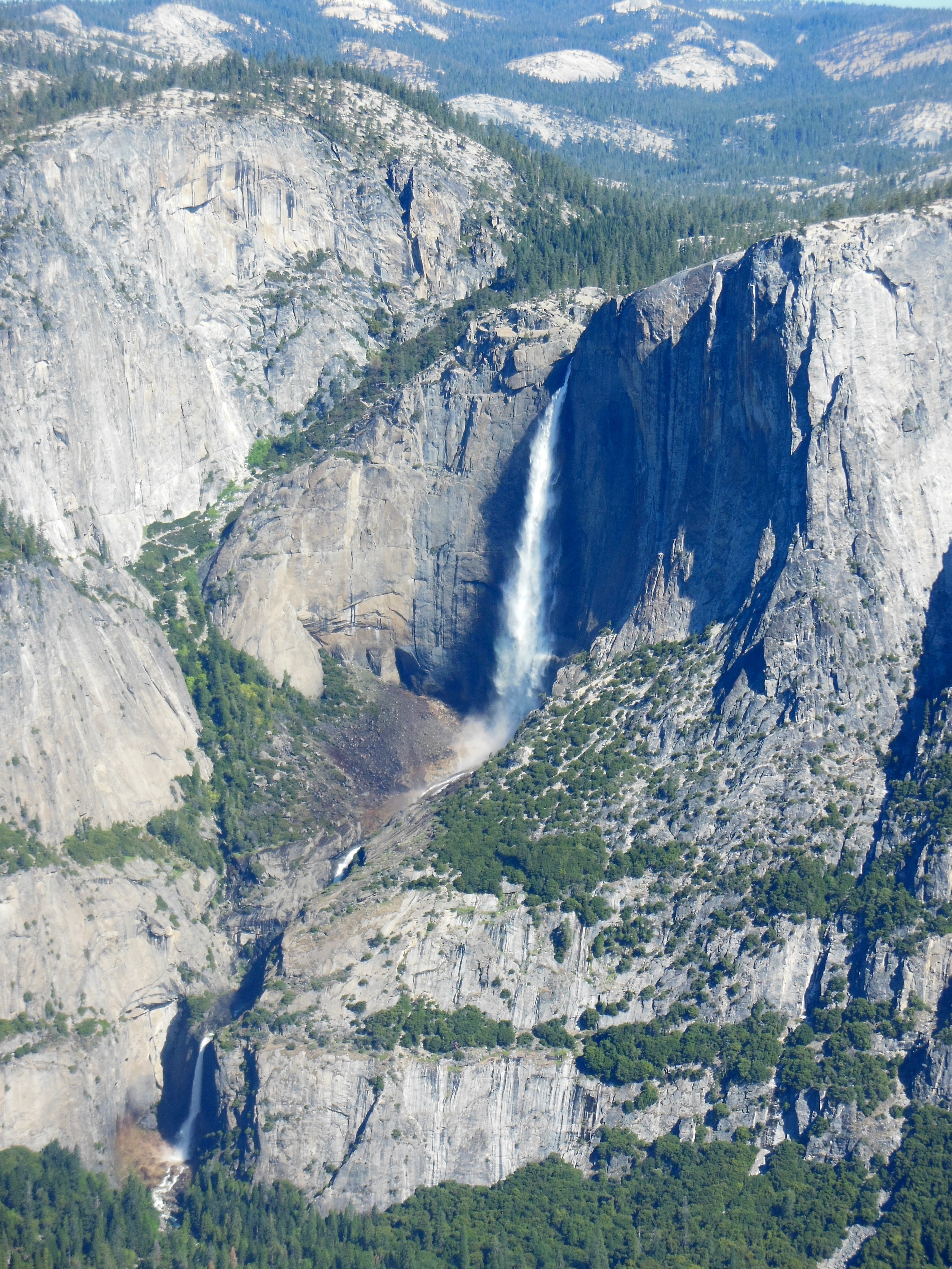
Yosemite Falls
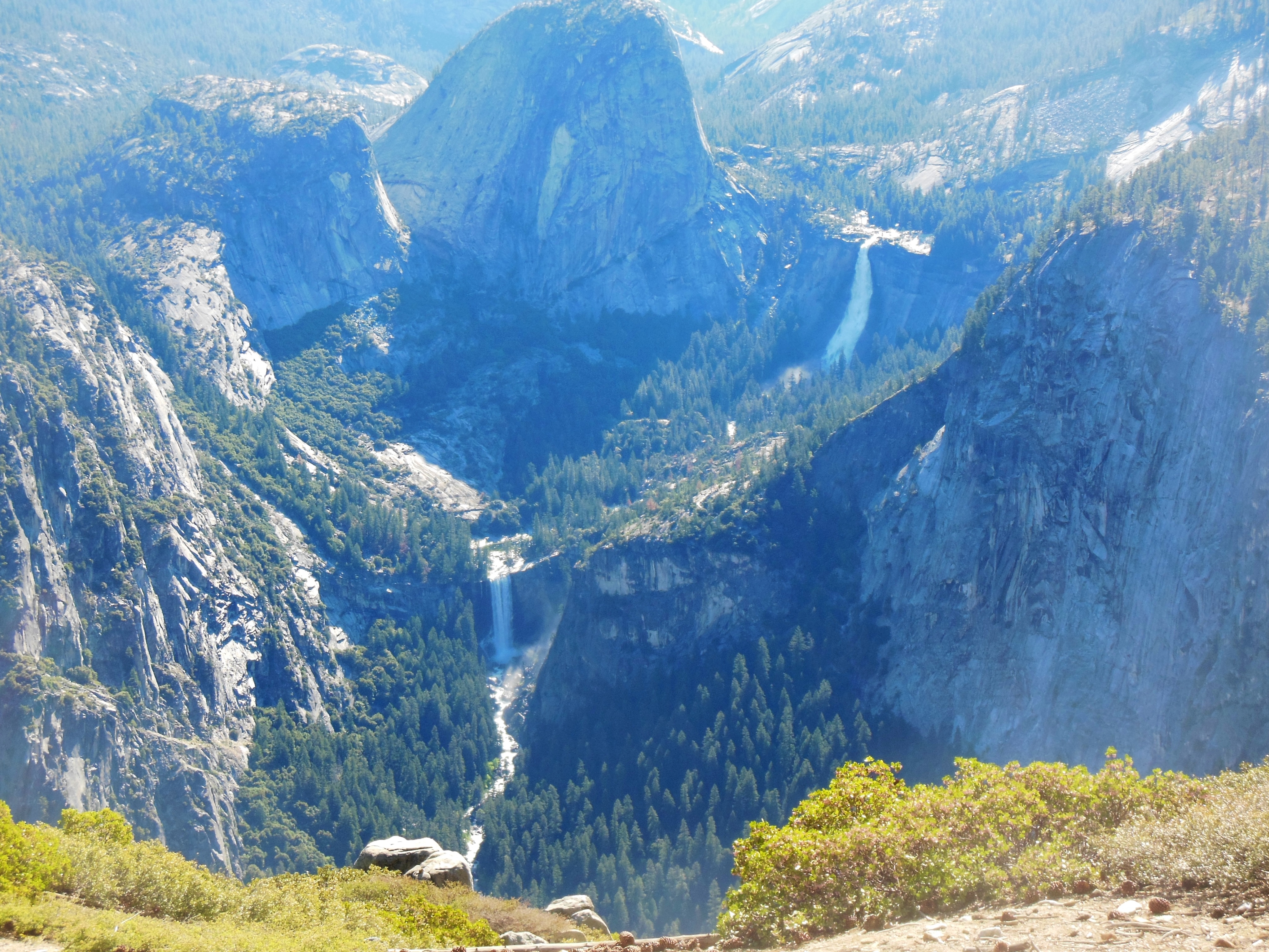
Nevada Falls, upper
Vernal Falls, lower
In the distance, at different angles, you can see Yosemite Falls, the tallest in North America (2425 feet and 5th highest in the world)-although there is a series of three falls to make up the whole. You can see Half Dome, a well known granite rock, Nevada Falls (594 feet), Vernal Falls (317 feet), as well as the valley and mountains in the background.
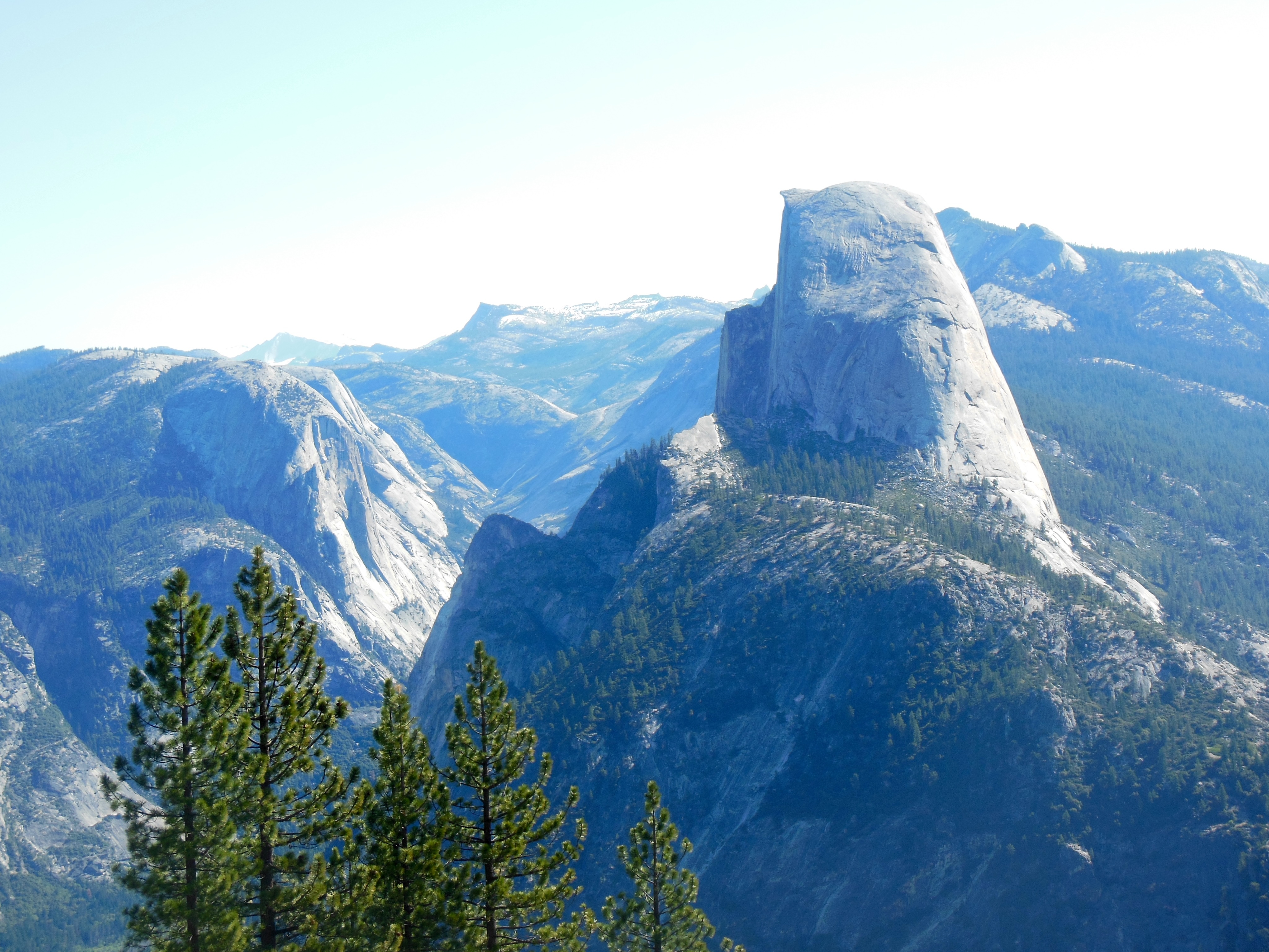
Half Dome
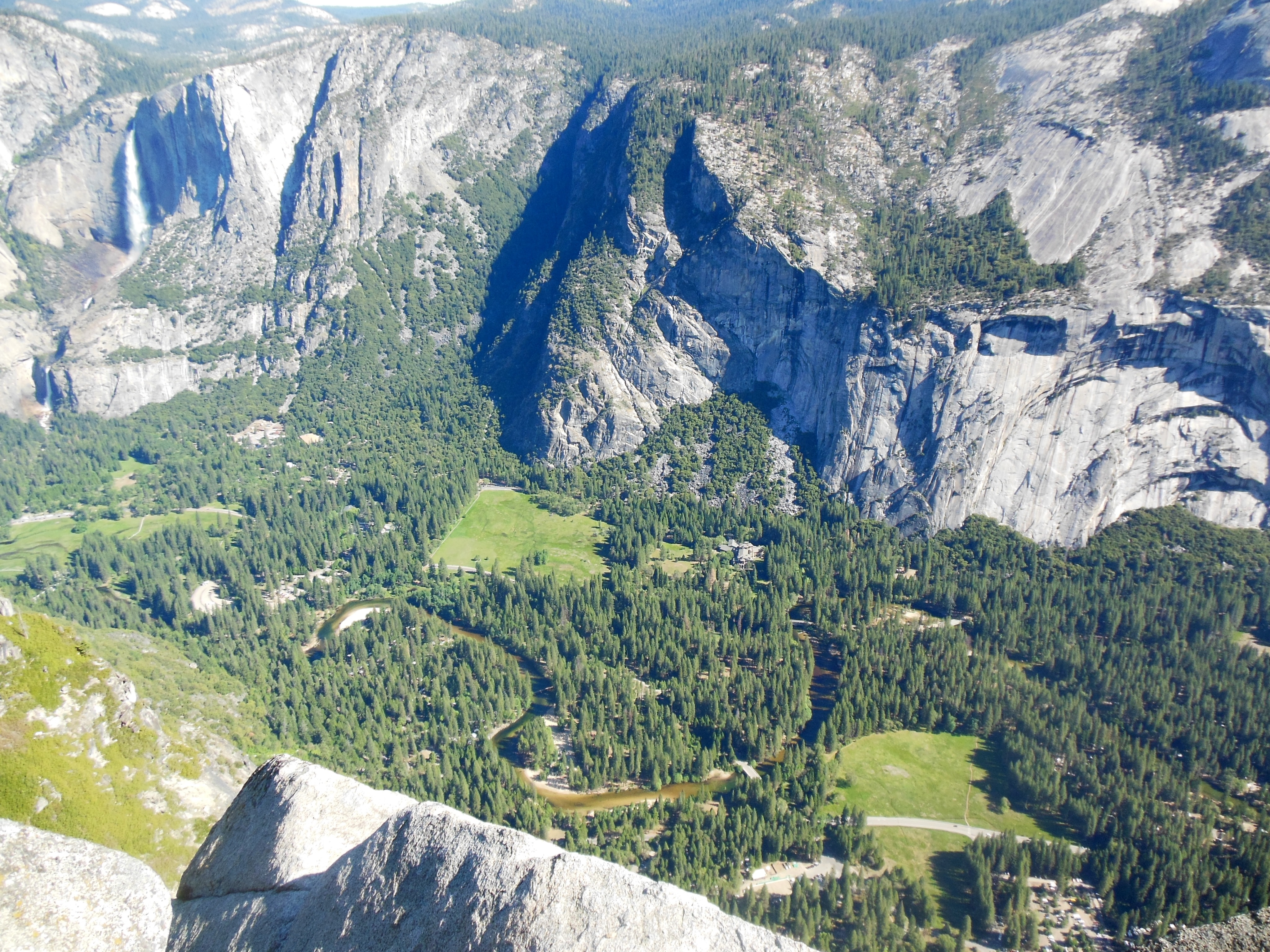
When we stay in Yosemite Valley, the angle does not allow us to see the entirety of Yosemite Falls so driving to Glacier Point is well worth the time to get there-and back.
The crowds started to pick up as we were departing Glacier Point. It is a weekend but not yet peak season. I am glad we chose to come before Memorial Day. The crowds are down and the waterfalls are close to peak, they only diminish after this.
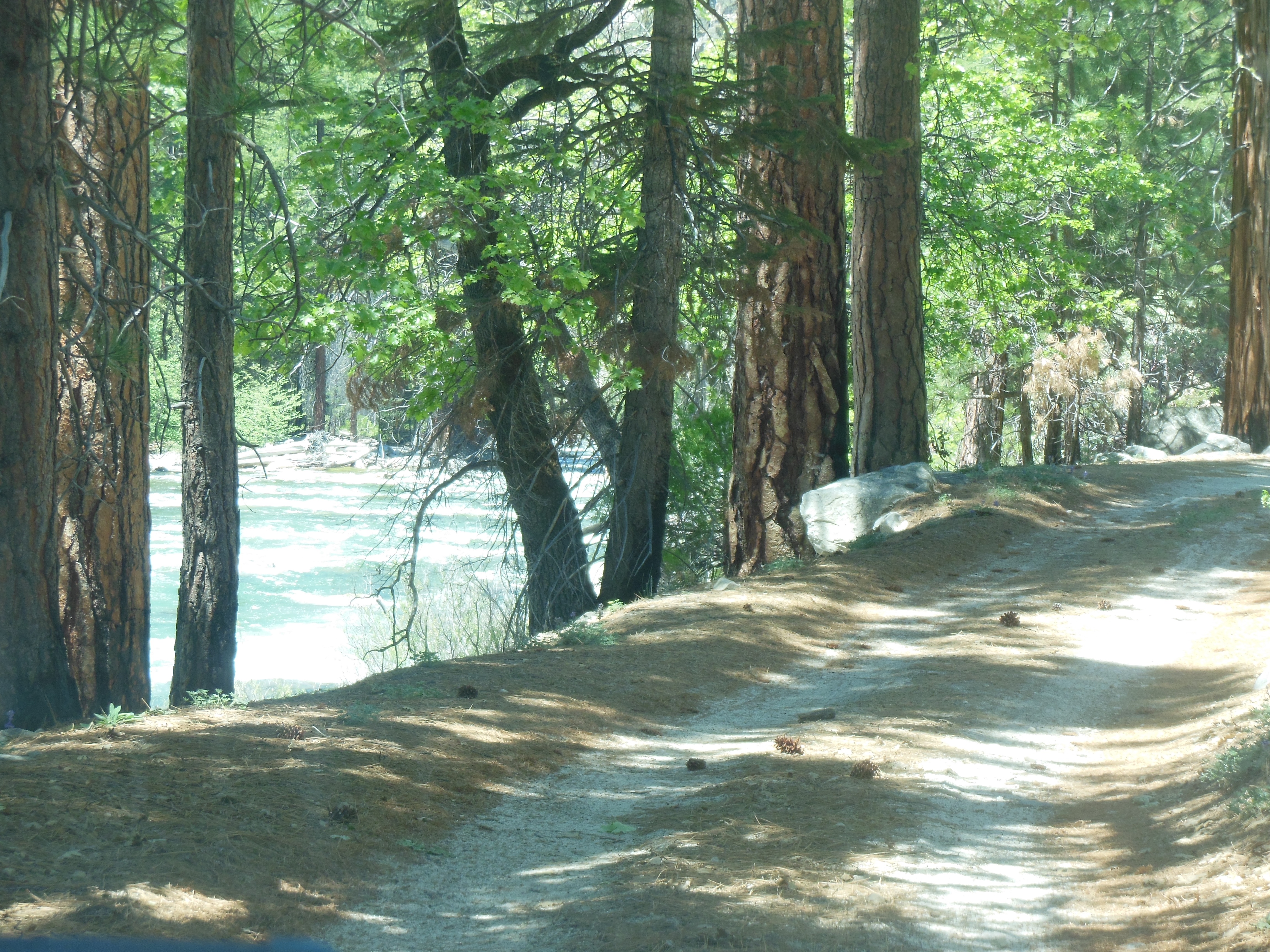
We walked in the woods around McGirk Meadows. On the drive there, we saw a coyote along the side of the road. He (?) did not move too much from the side of the road, our guess is he was looking for handouts from people. No one we saw cooperated. We had a quick snack along the South Fork of the Merced River.
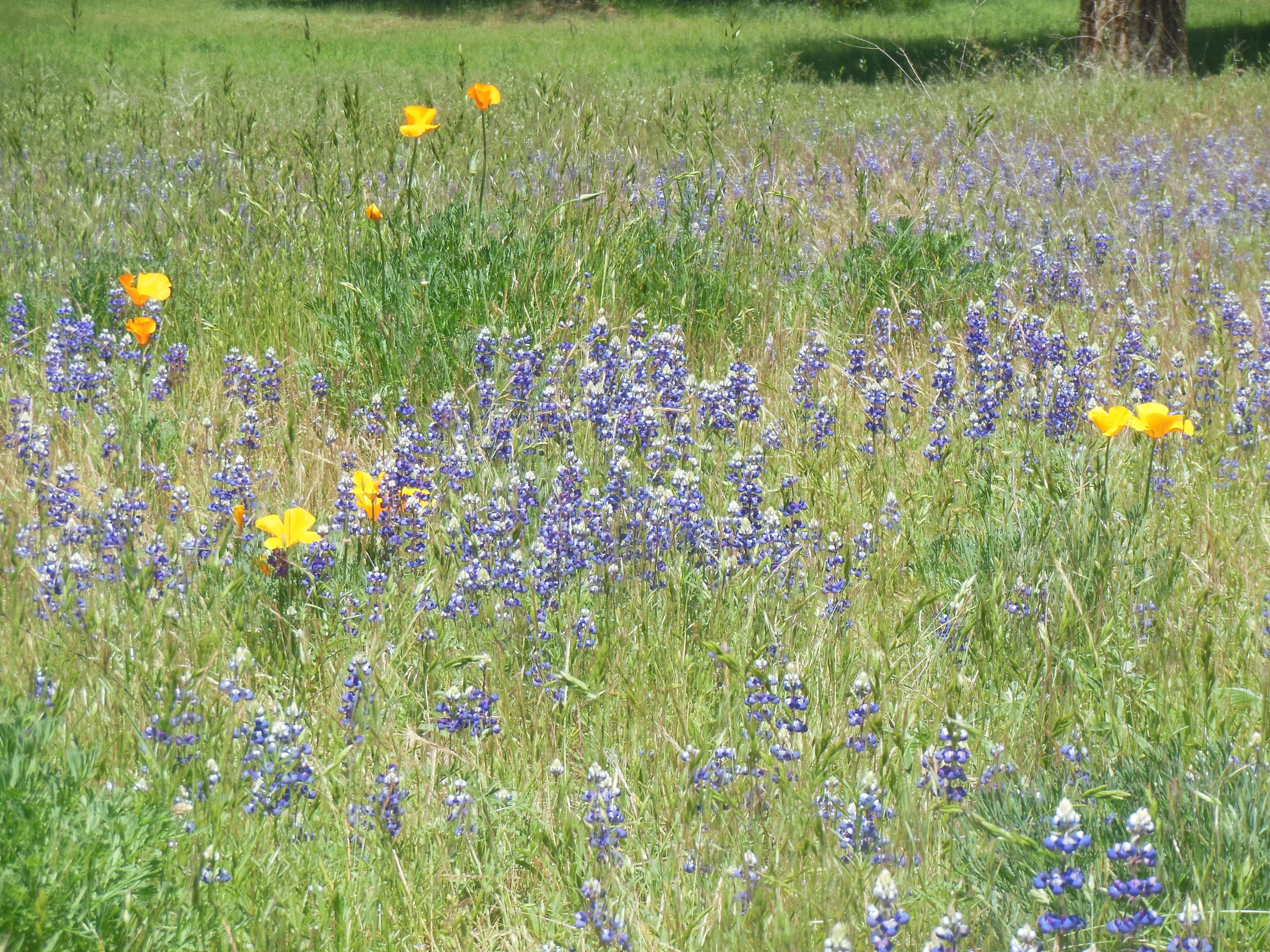
Wild flowers along
south fork of Merced River
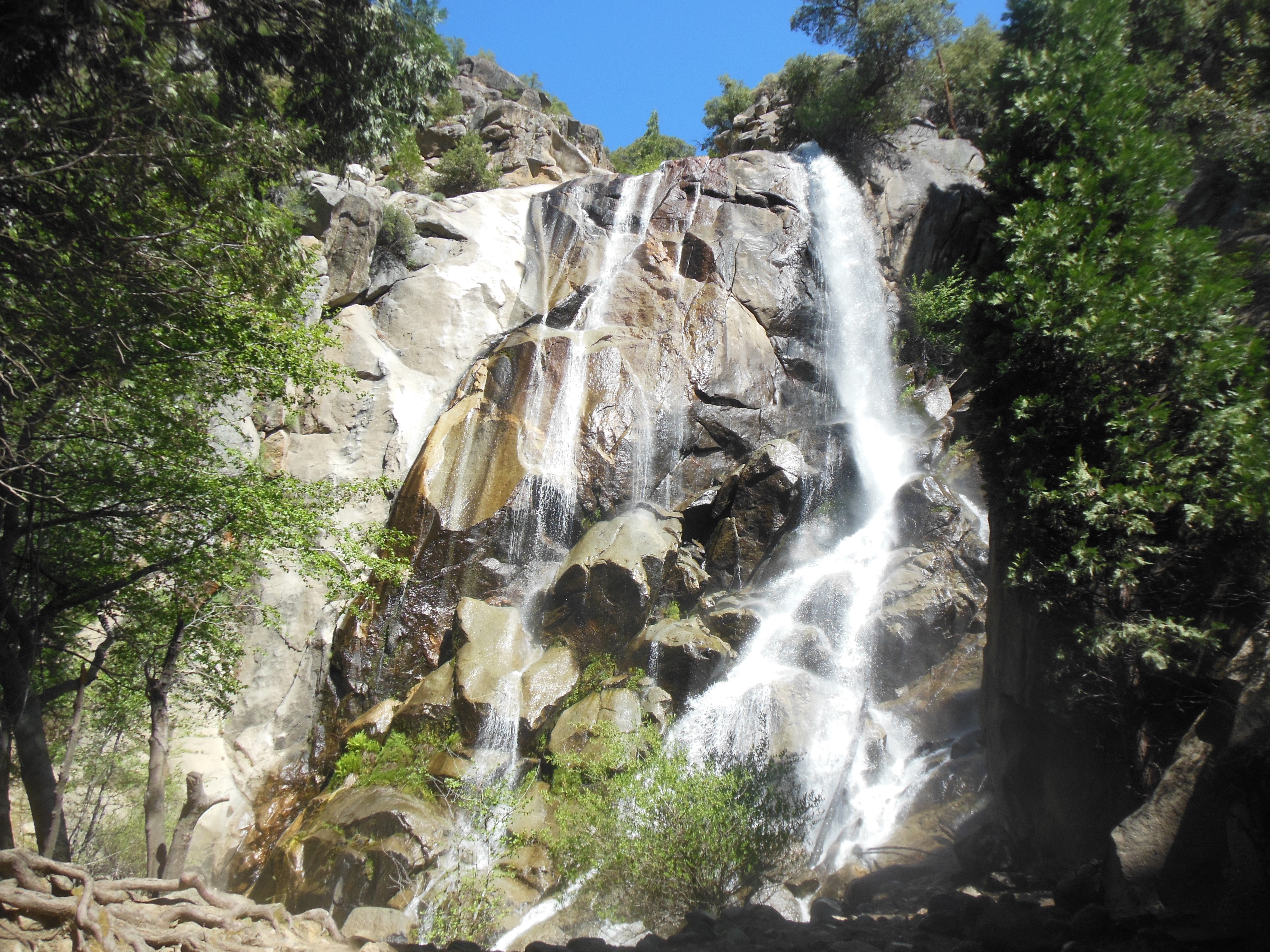
Our next hike was to Chilnualna Falls, a relatvely small falls accessible from an area close to Wawona Lodge. These are no where near as high as the others but we are able to get close to the water and feel the spray.

Chilnualna Falls
Our last stop was at the Pioneer Yosemite History Center. This is a collection of buildings important to the development of Yosemite as a park.
1. Stage Coach transportation depot-to bring visitors here,
2. park ranger office-to protect the park (actually US Soldiers were stationed here to protect the trees before the park service was organized, the Buffalo Soldiers-black cavalry were one of the groups. There is a picture of them stationed in Mariposa Grove using a dead sequoia tree trunk as a building
3. artist studio – artists popularized the park to Easterners and helped create the willingness to create national parks
4. Homestead cabin-part of the early settlement of the area, there was a great deal of sheep herding here
5. Bakery-people have to be fed
6. Blacksmith-those darn horses keep a blacksmith busy.

Wells Fargo Transportation depot
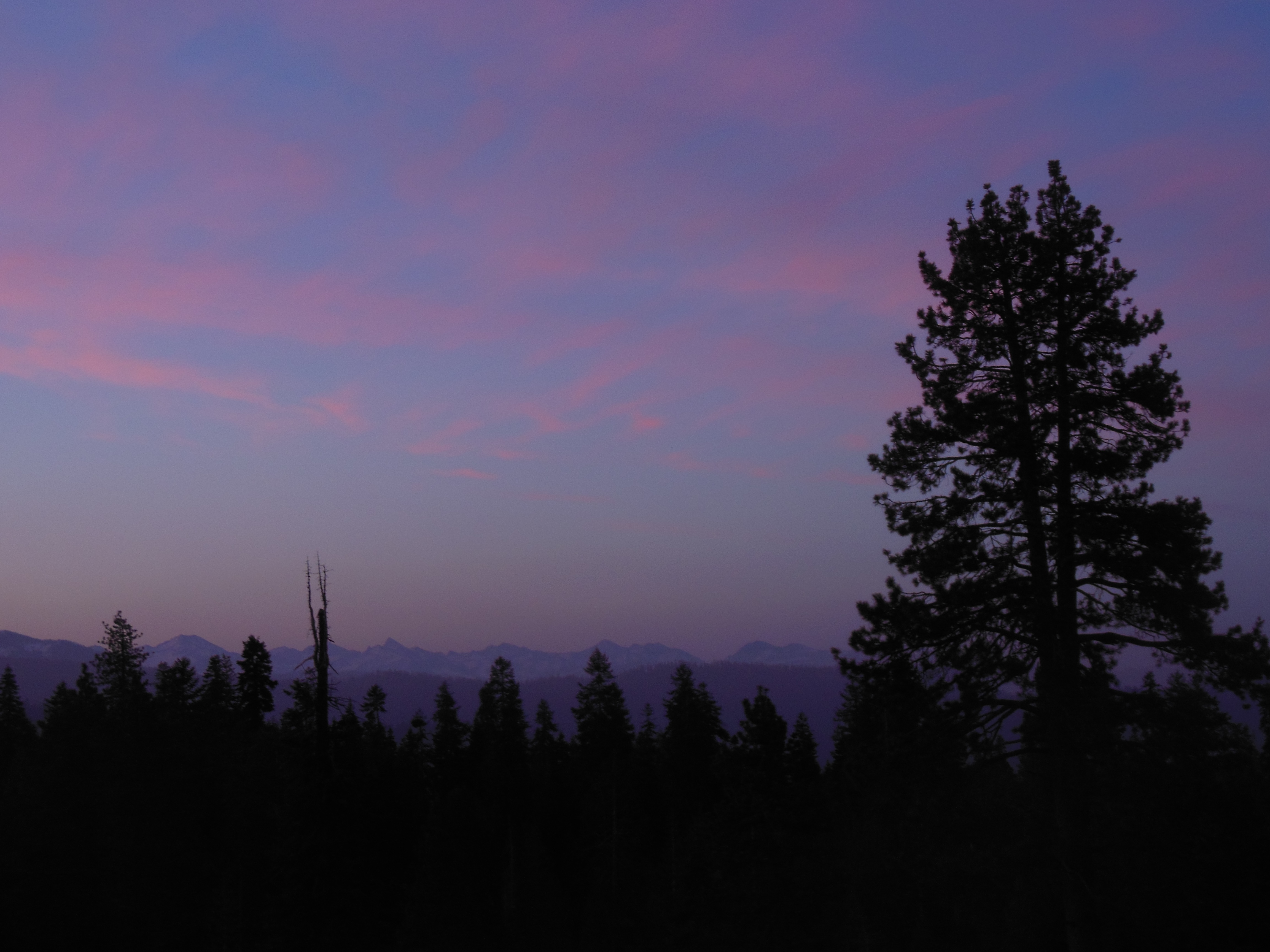
So we finished up the day back at the Lodge, gorgeous weather today and are writing this sitting outside.
Chris and Ed


Recent Comments