
Montrose, CO May 24

Park Avenue area of Arches
Friday May 23
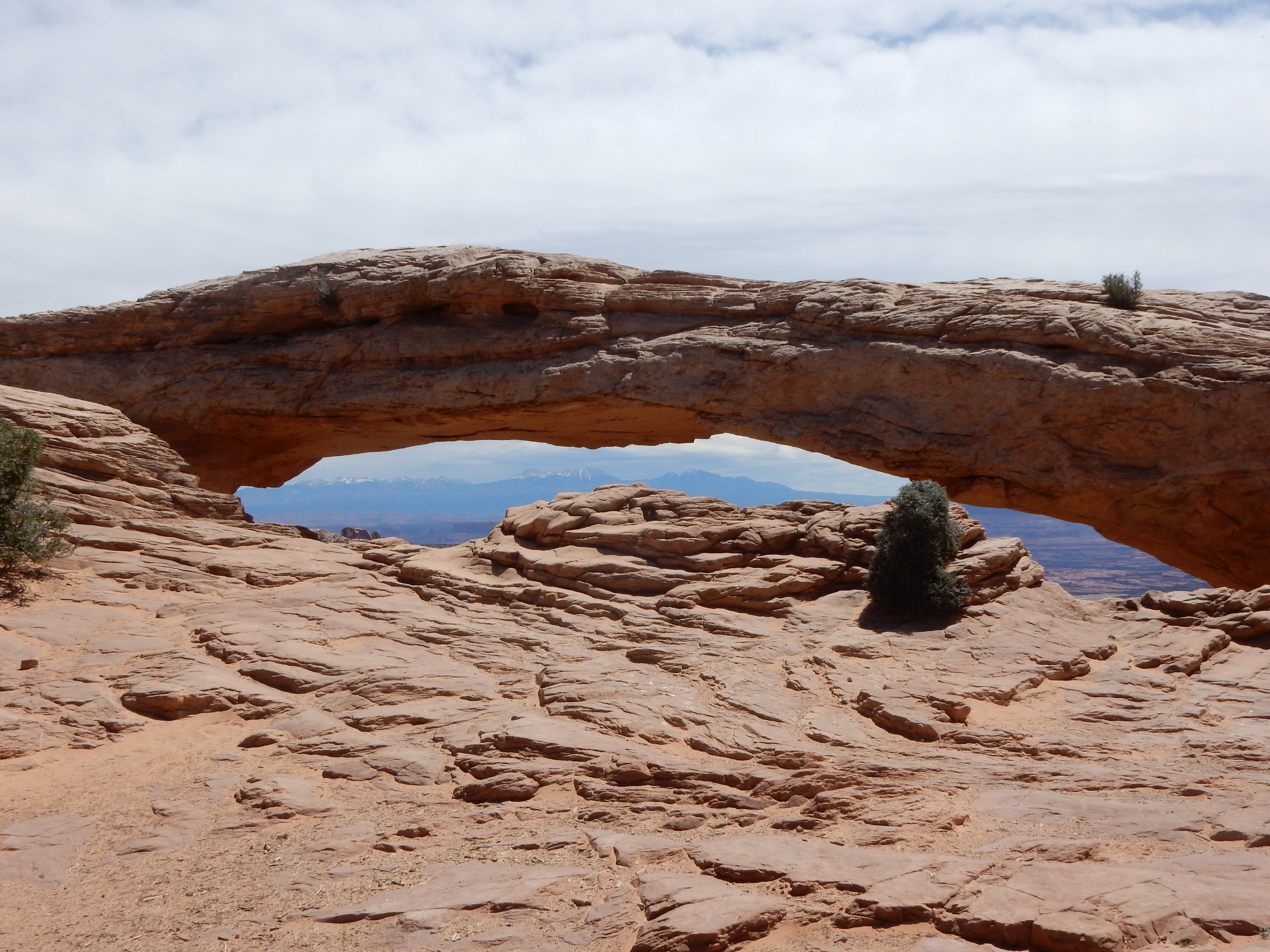
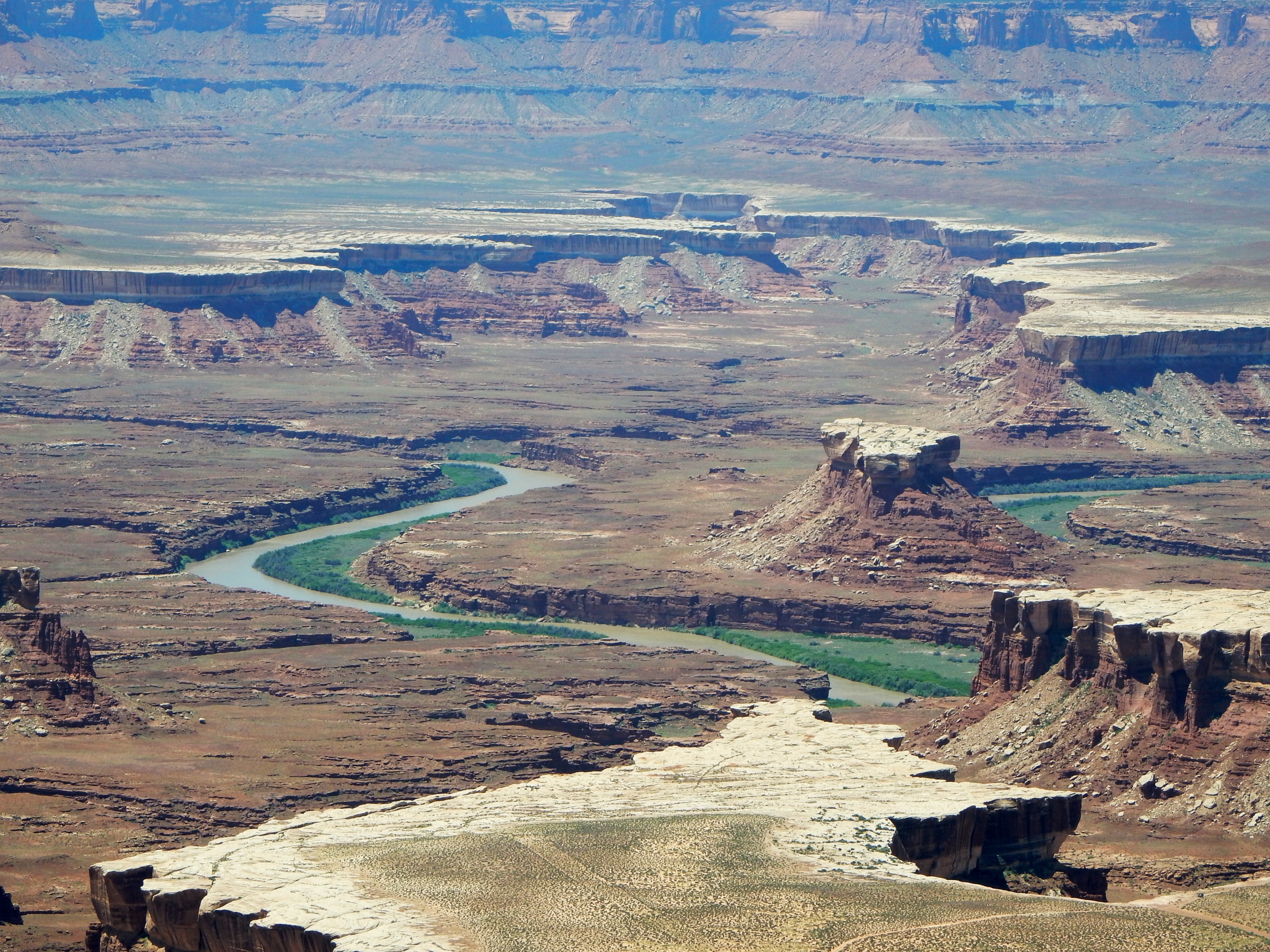
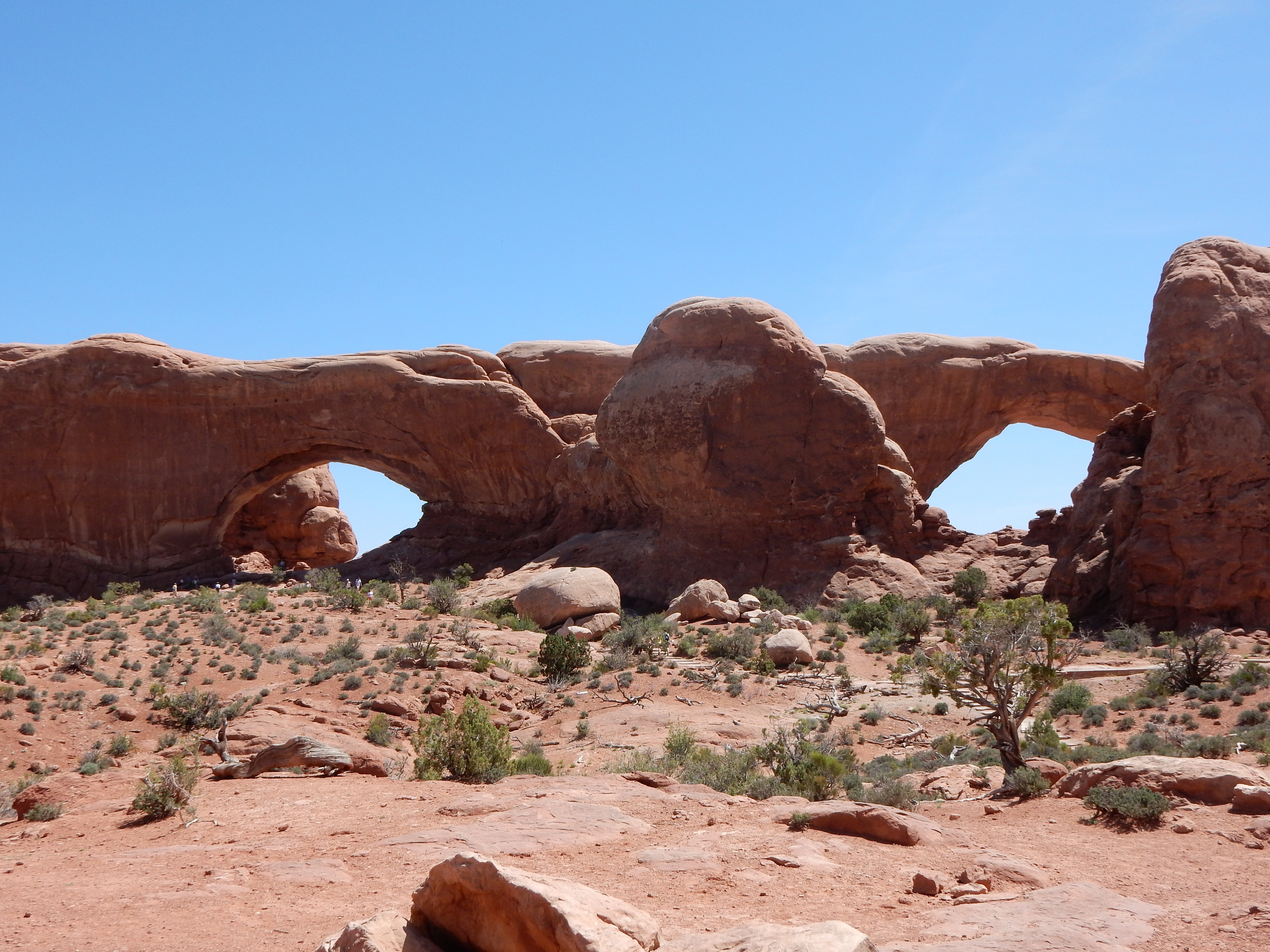
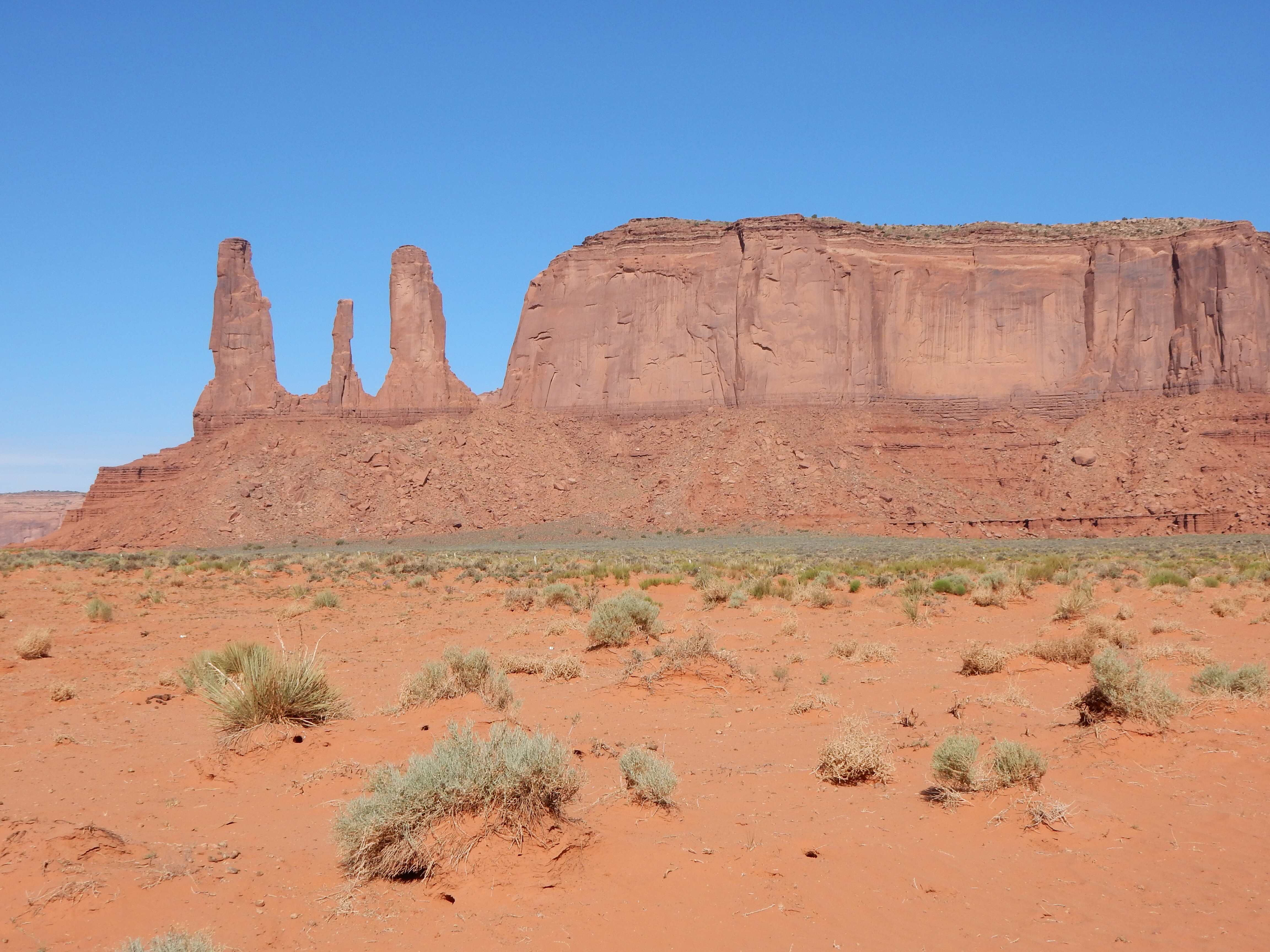
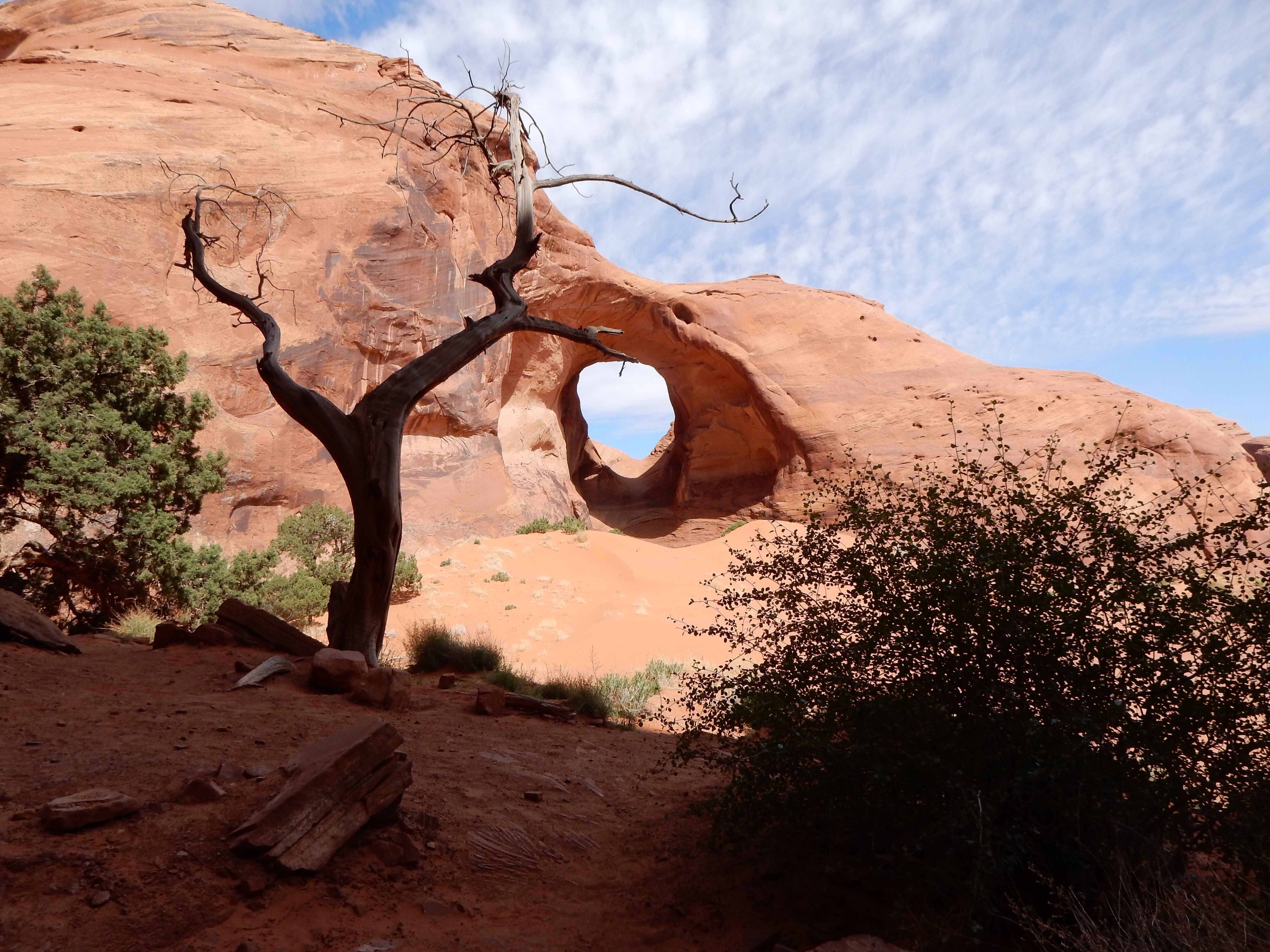
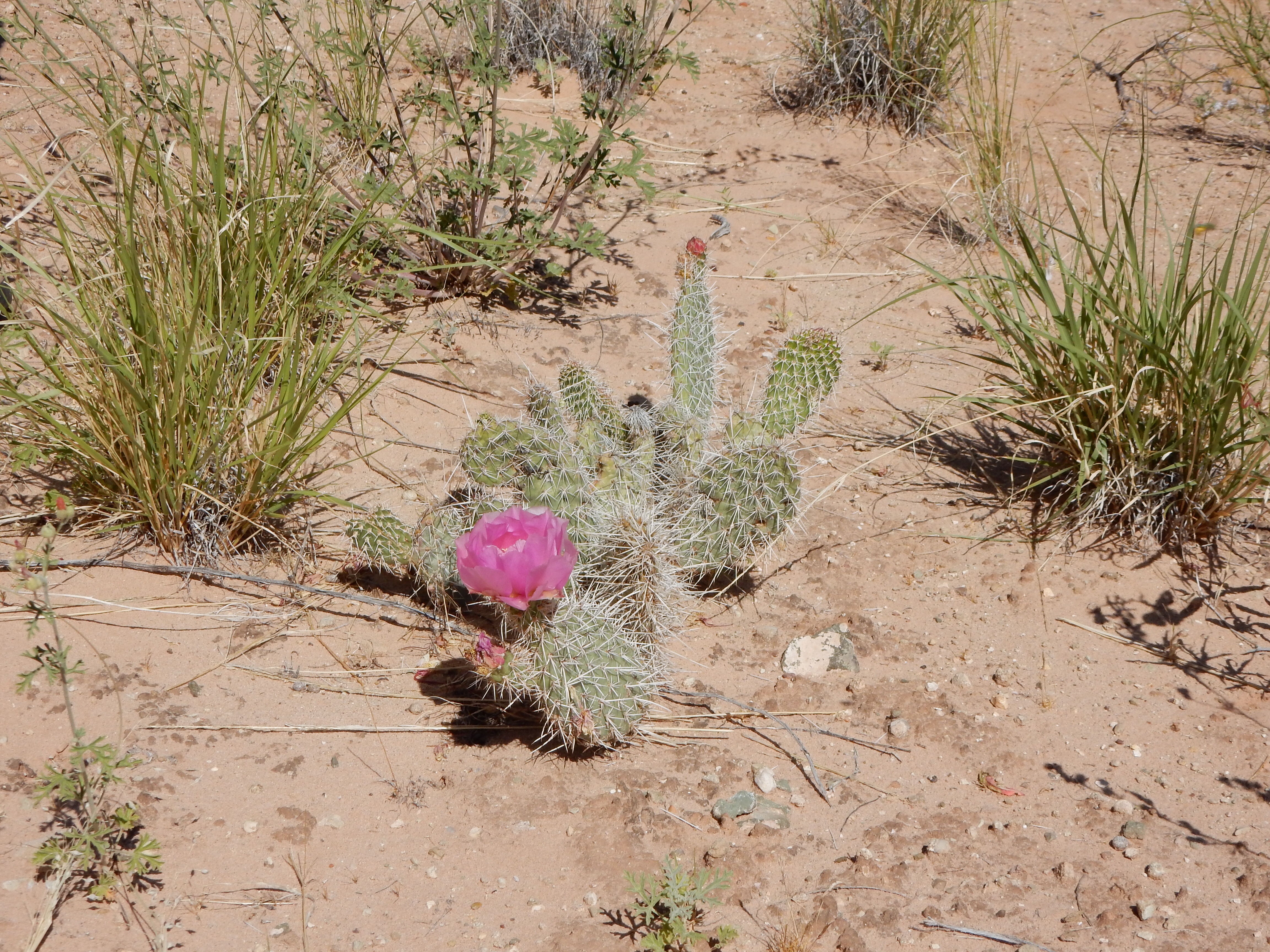
Arches National Park lured us back for another visit. We went to “Park Avenue”, a hike among towering cliffs versus arches. Park Avenue is an out and back hike unless you have two vehicles and can leave one at the far end. The hike descends 320 feet and out for a mile, and then back again. Not overly strenuous and it gave us some great views of the cliffs and the interplay with the rising sun. Wildflowers were abundant along the route and you can view the ripple action of ancient seas as they laid down layers of sand.

Along Park Avenue trail

Park Avenue hike view
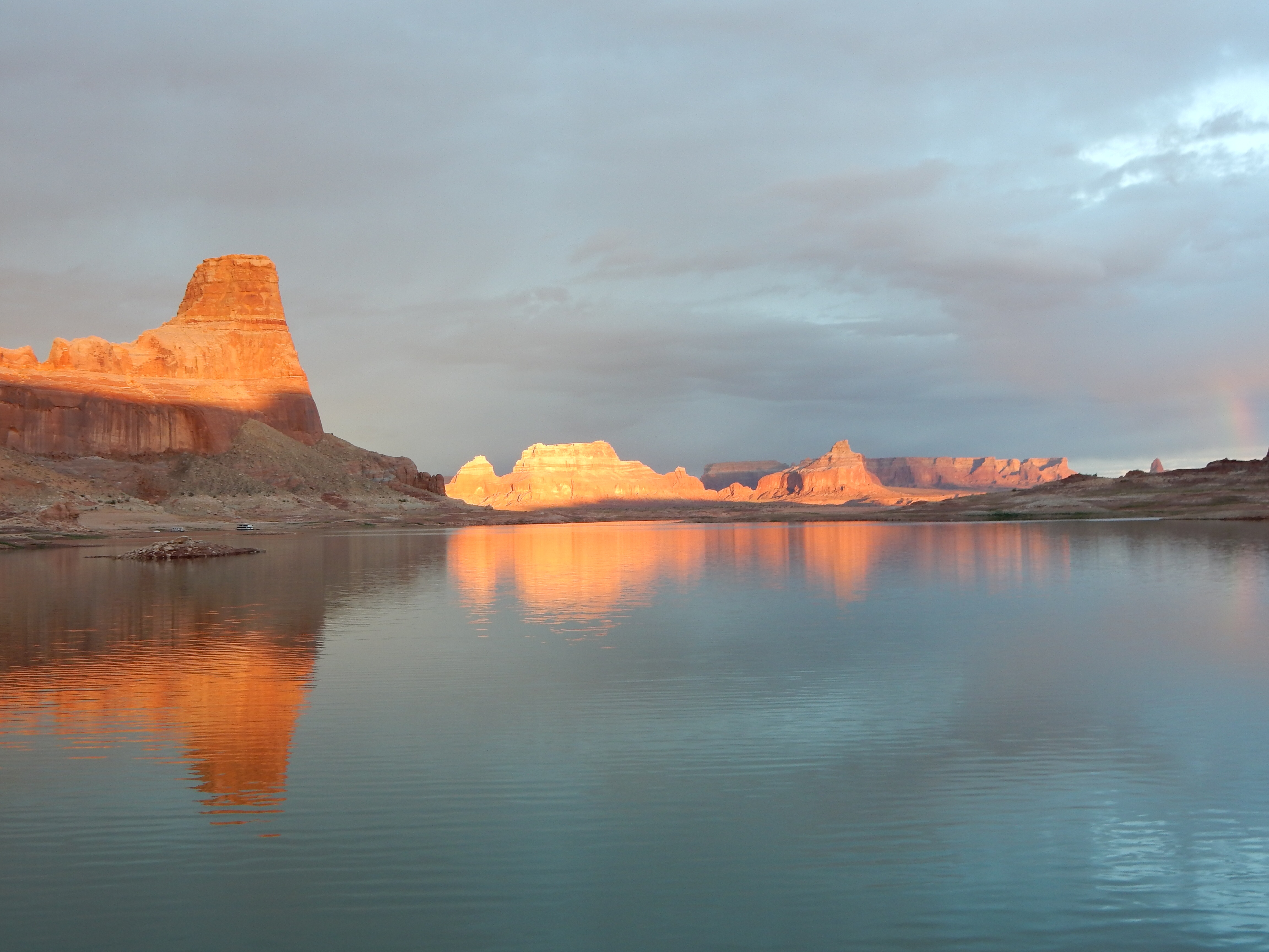
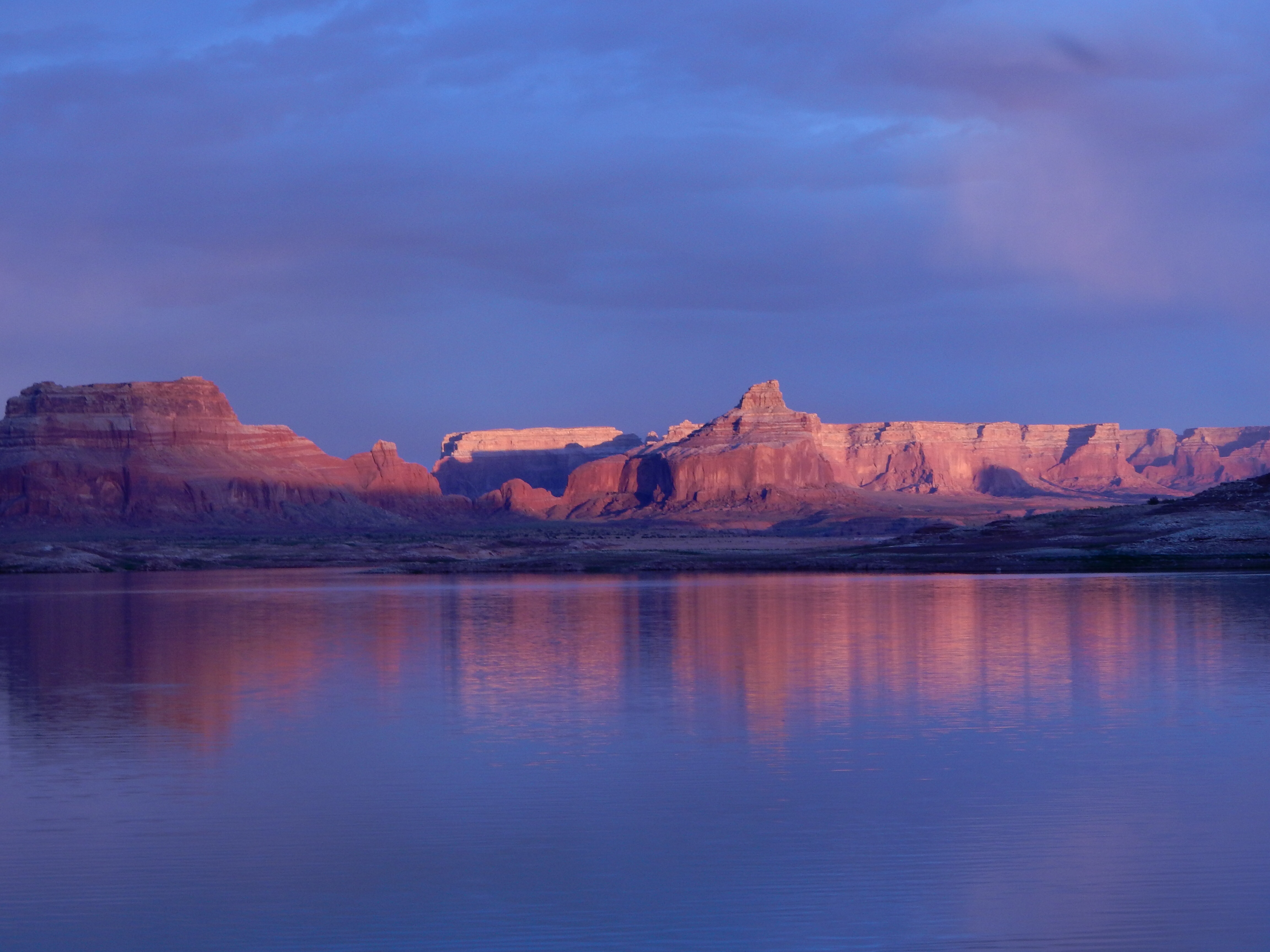
We toured the visitor center and film and then went to “Delicate Arch”. We were not overwhelmed, supposedly it is one of the most photographed arches in the park. The late afternoon even produced a rain storm, enough to cause sand to run over sidewalks and roads.

reflection in rain water
In the evening, we went to a lecture at the local history museum. The featured speaker was Mark Steen, one of the sons of Charlie Steen, the man who found the uranium that lead to Moab’s uranium rush and got rich-at least for a while. It was a fascinating 90 minute presentation. I think he could have gone on for days about stories of the uranium rush days.
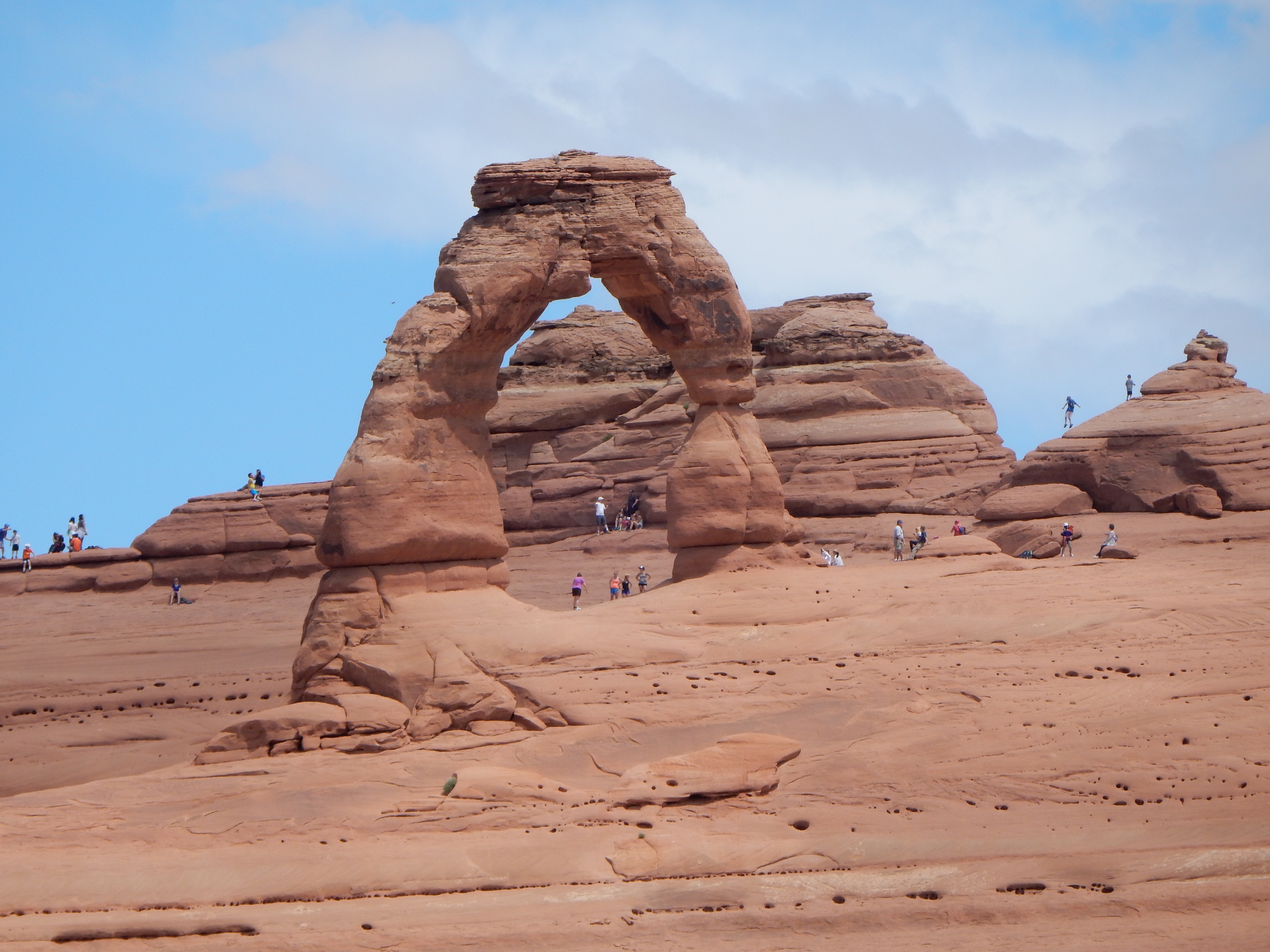
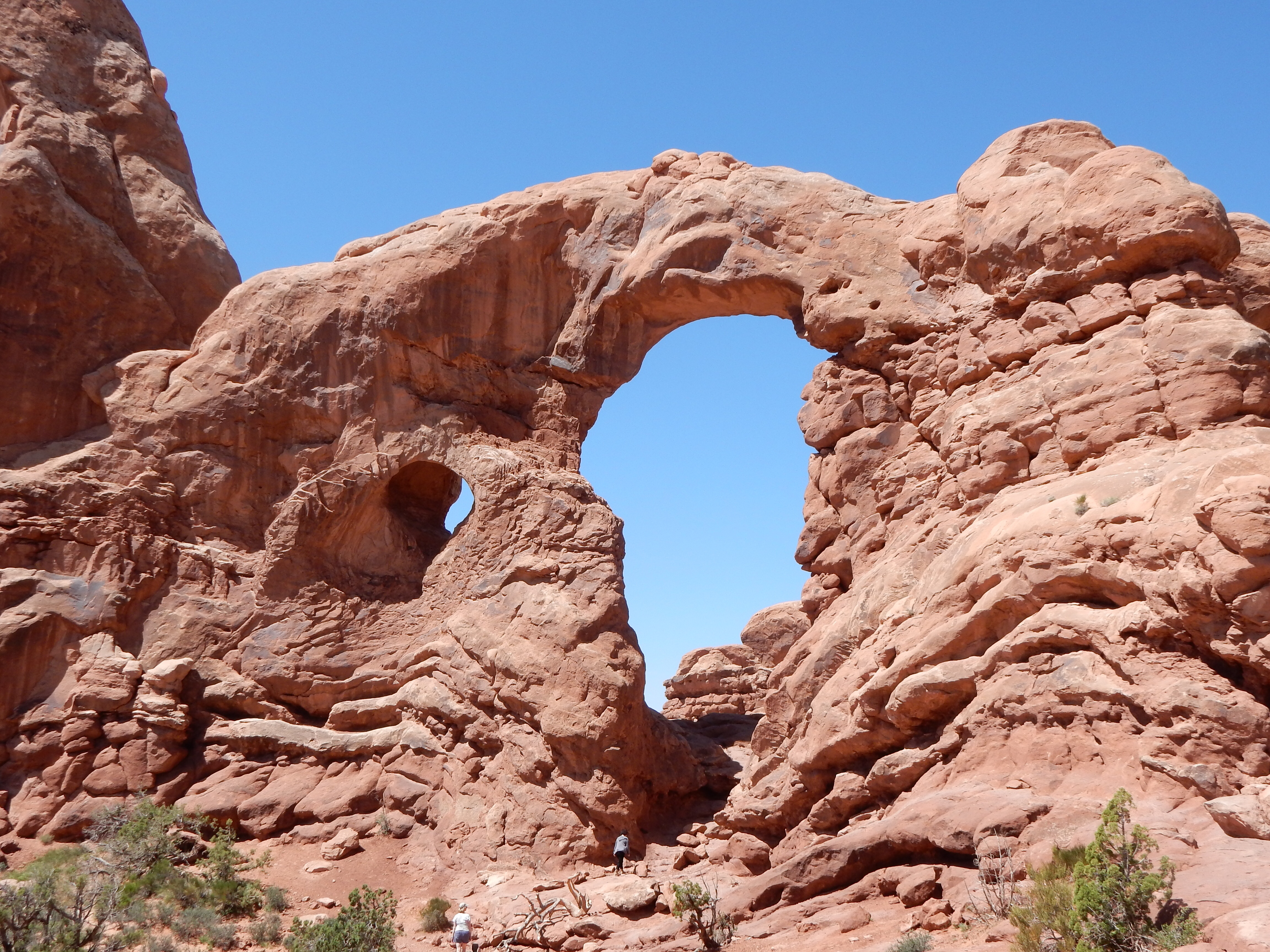
Delicate Arch
Between he and Kristen, we obtained a picture of a small community in the early 1950s with no indoor plumbing, unpaved streets, long distance phone calls limited to three per day for the entire community, etc. This area of Utah was still way off the beaten path.
The Steen family lived in trailers and shacks. Dad prospected with various results for several years. When the mother lode was hit, the Atomic Energy Commission was disbelieving and unhelpful because the strike was in an area with ores they had labeled as not commercially viable. Charlie Steen helped others make friendly claims and they profited. Some people did not act on Charlie’s advice and lost out. The Steen family spent their own money to make improvements to the town. According to Mark Steen, there have been studies that state this uranium boom had a bigger financial impact that the Gold Rush in CA or the Klondike. Like many rags to riches stories, not all ended well. There were legal wrangles, tax issues, etc.
Saturday, May 24
We have seen a lot of red rock in the past week or so. Today we head for Colorado and mountains (still rock, of course) but also water and forests.
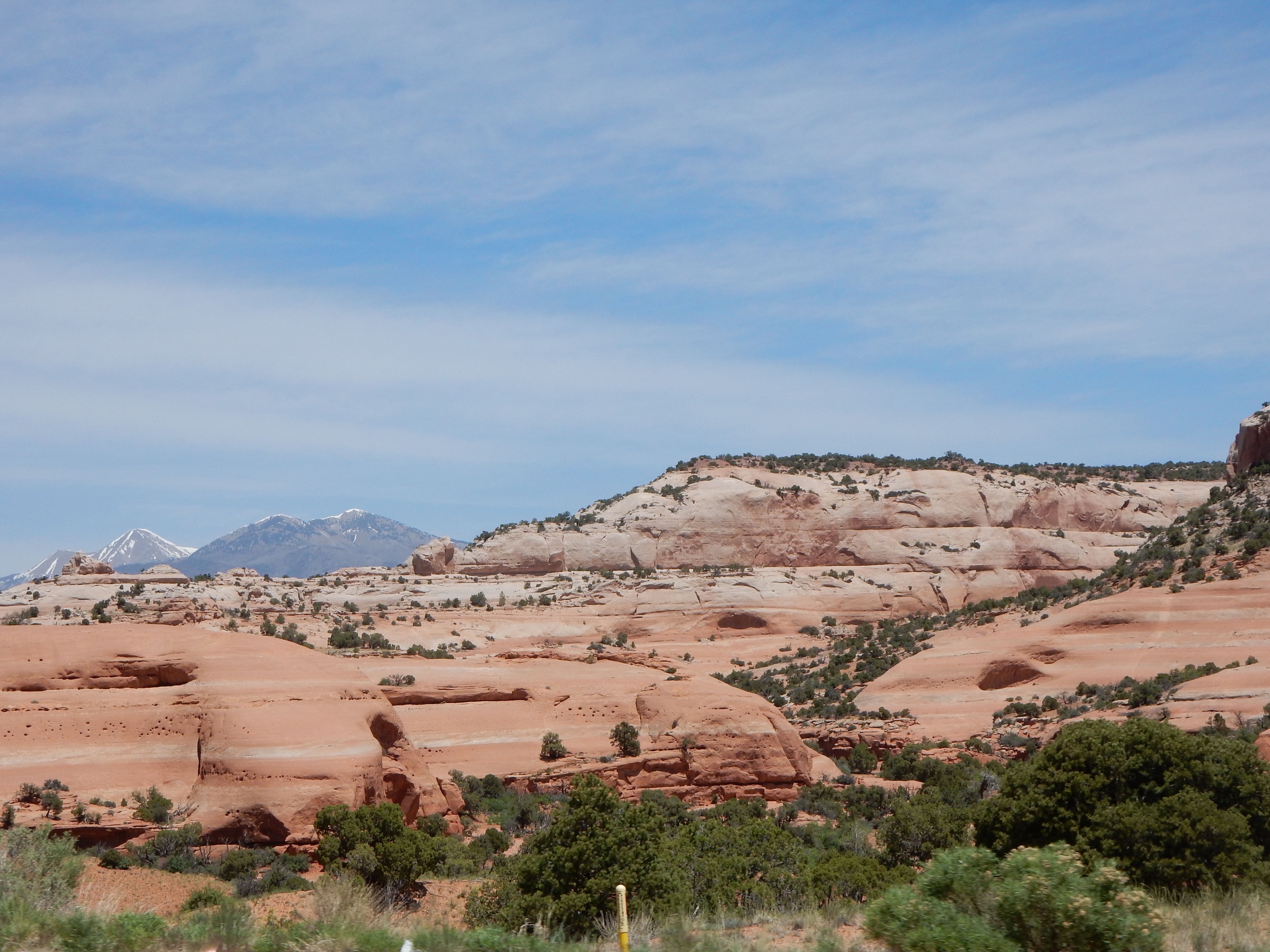
Leaving Utah and heading for CO
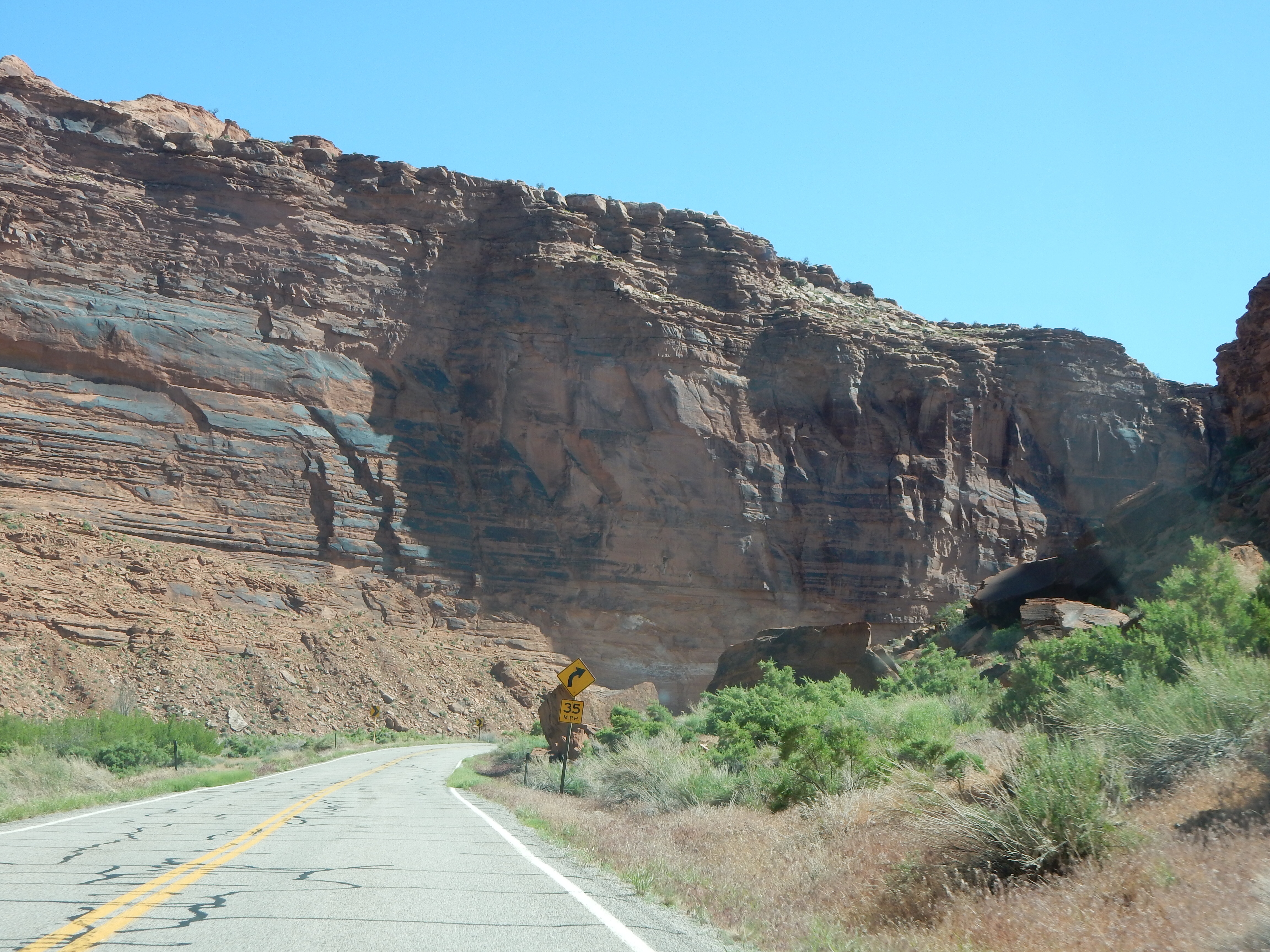
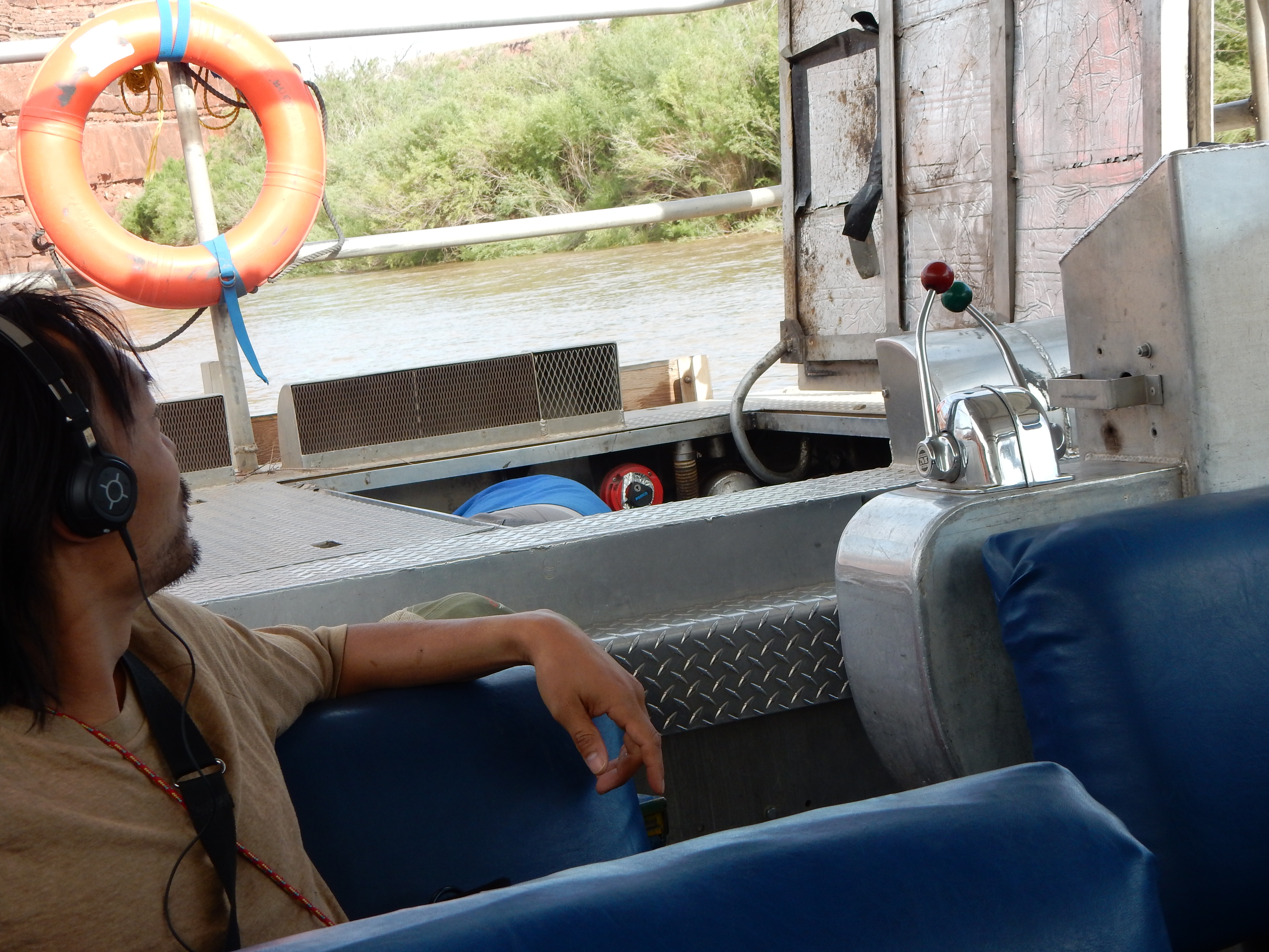
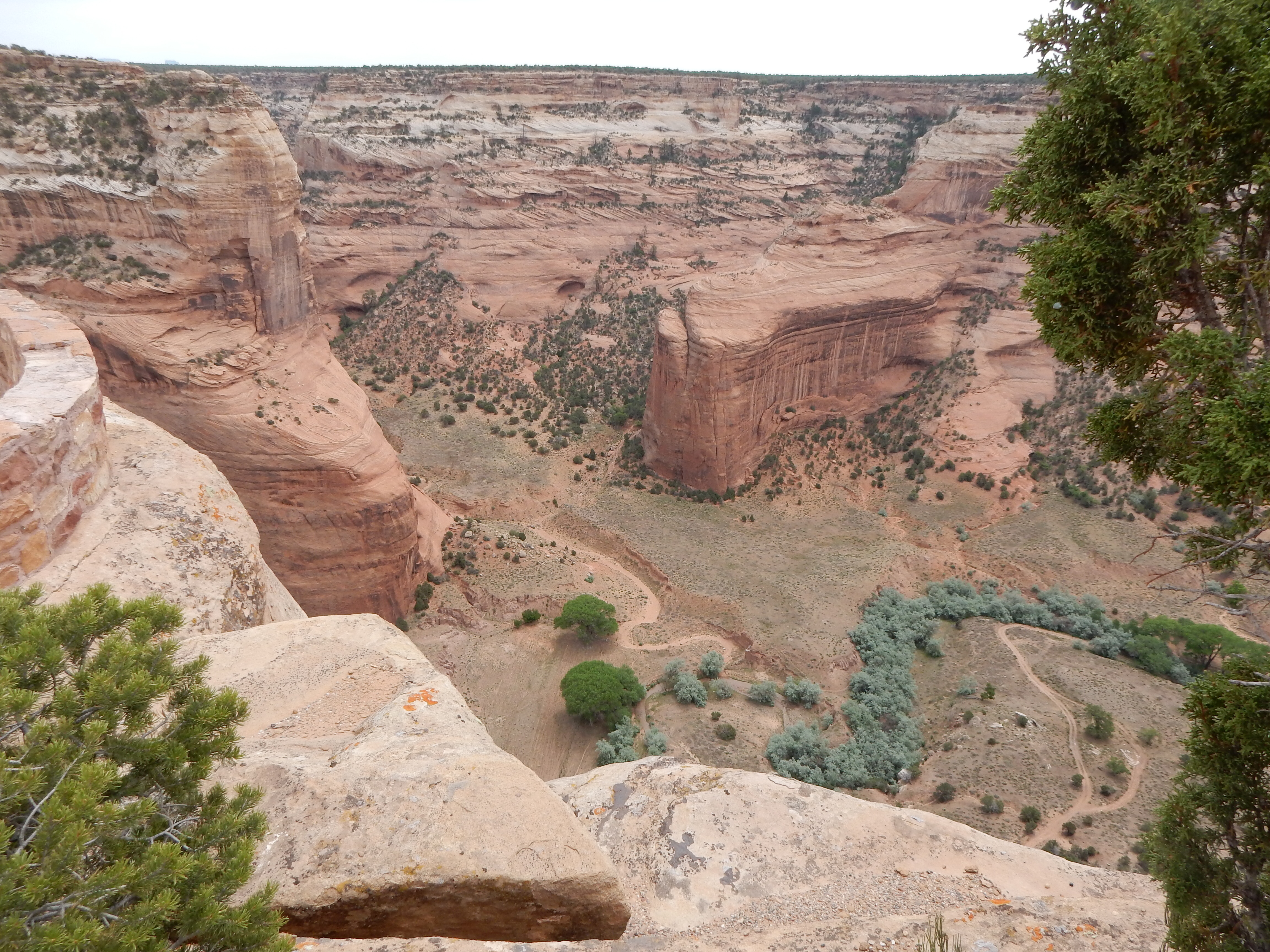
We took the slower, more scenic route out-of-town along the Colorado River. Eventually we left behind rock climbers, river rafts, and red rock for flatter land away from the river. As we continued on into Colorado, the river and cliffs returned. We stopped at the CO Visitor Center and decided we had enough time to add a scenic byway on our way to Montrose.

Along the Grand Mesa scenic byway
The Grand Mesa Scenic Byway is 63 miles in length and ascends from 4600 feet to 10,800 feet; but this time it was all on paved, two lane roads. Along the side of the road, a creek is roaring with melted snow on its way to the Colorado. We went from the arid desert to snow and aspen trees. The Grand Mesa is just SE of Grand Junction and is reputed to be the “largest flat top mountain in the world”. There are over 300 lakes on top of the mesa and water collected here feeds irrigated lands in the Uncompahgre valley which is now a major agricultural and fruit-growing area. Many of the lakes are still frozen, we did see some men fishing at one reservoir where a small portion of the ice had gone out.
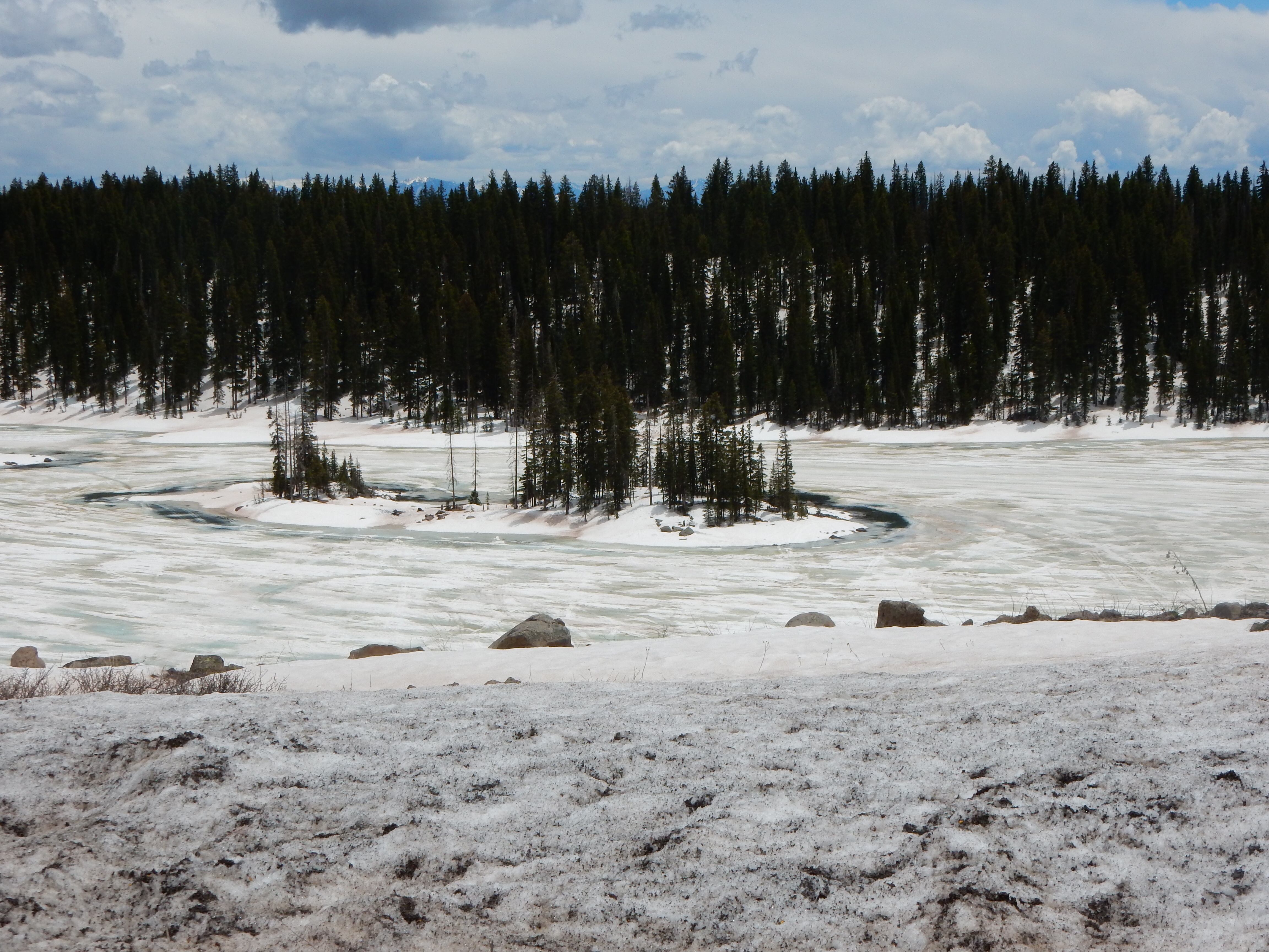
Along the Grand Mesa scenic byway
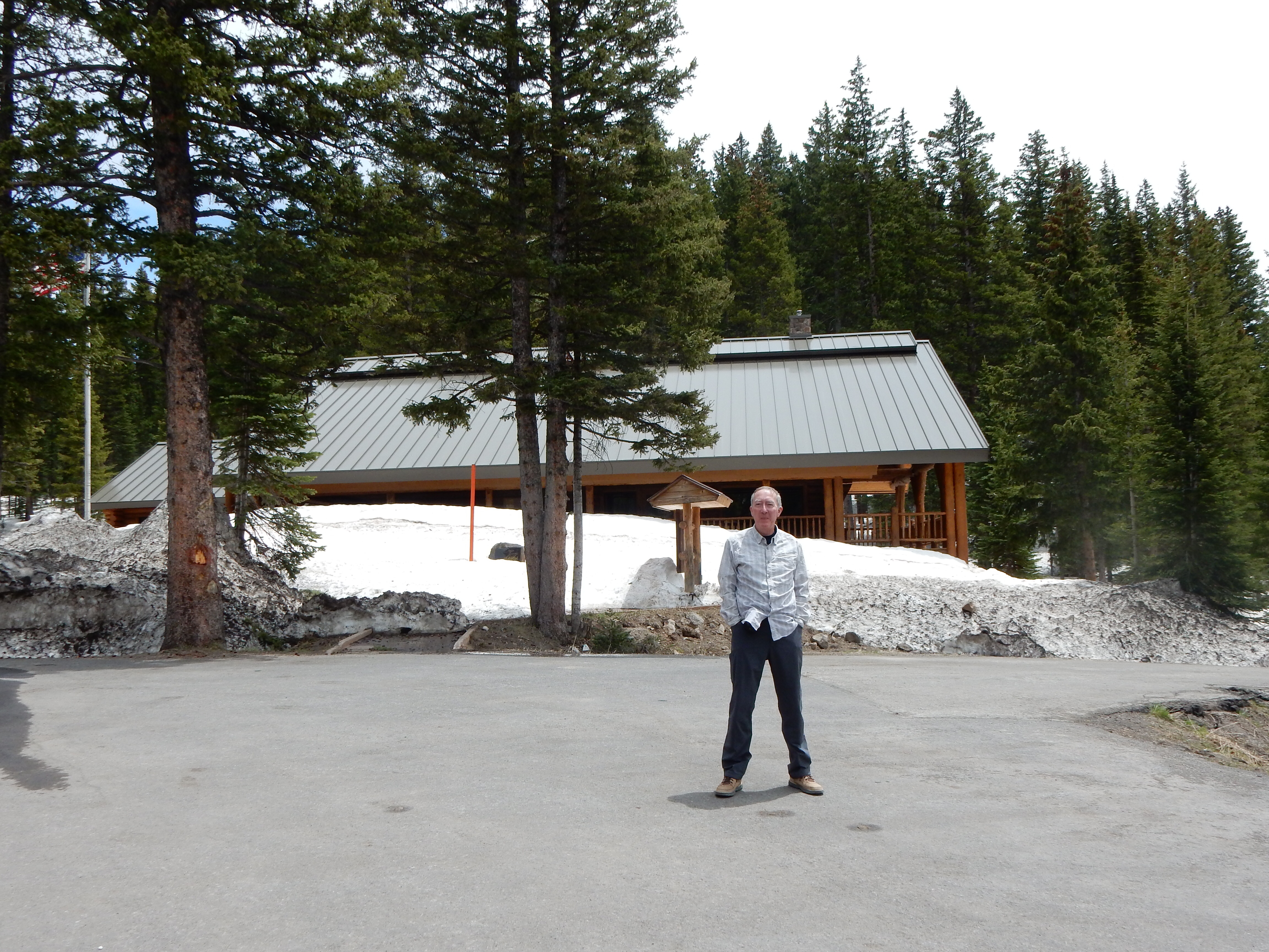
at the visitor center for grand mesa
Lunch was in the small town of Cedaredge. The restaurant boasted several boutiques, an art gallery, and a winery. It was a lucky choice to stop at.
Montrose is our home for two nights. Tomorrow we plan to visit the Black Canyon of the Gunnison, another national park.
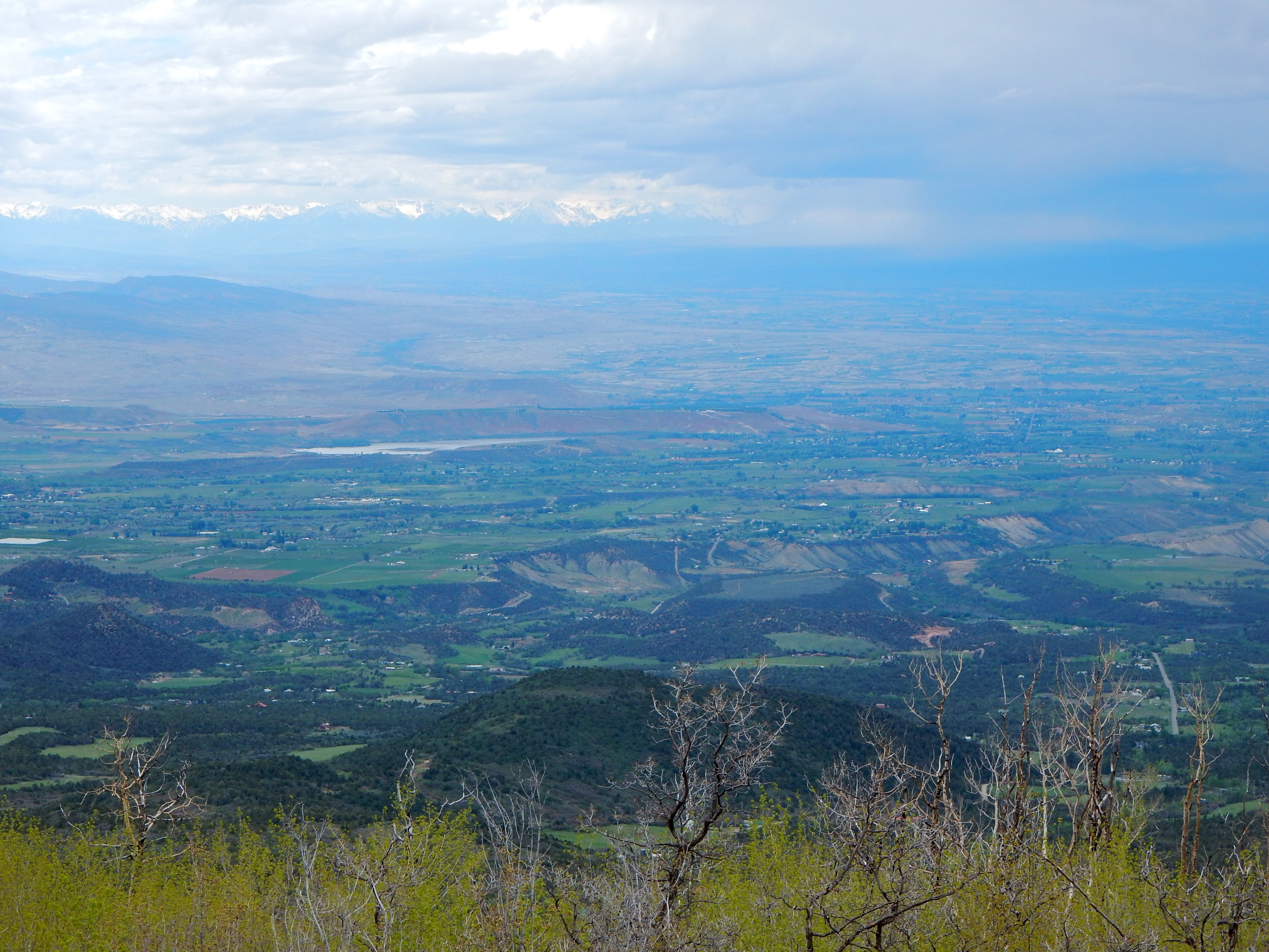
Looking down on Uncompahgre valley
Ed and Chris May 24 10 pm


Recent Comments