
Tupper Lake, NY, Sunday Oct. 5
In order to get the view below,
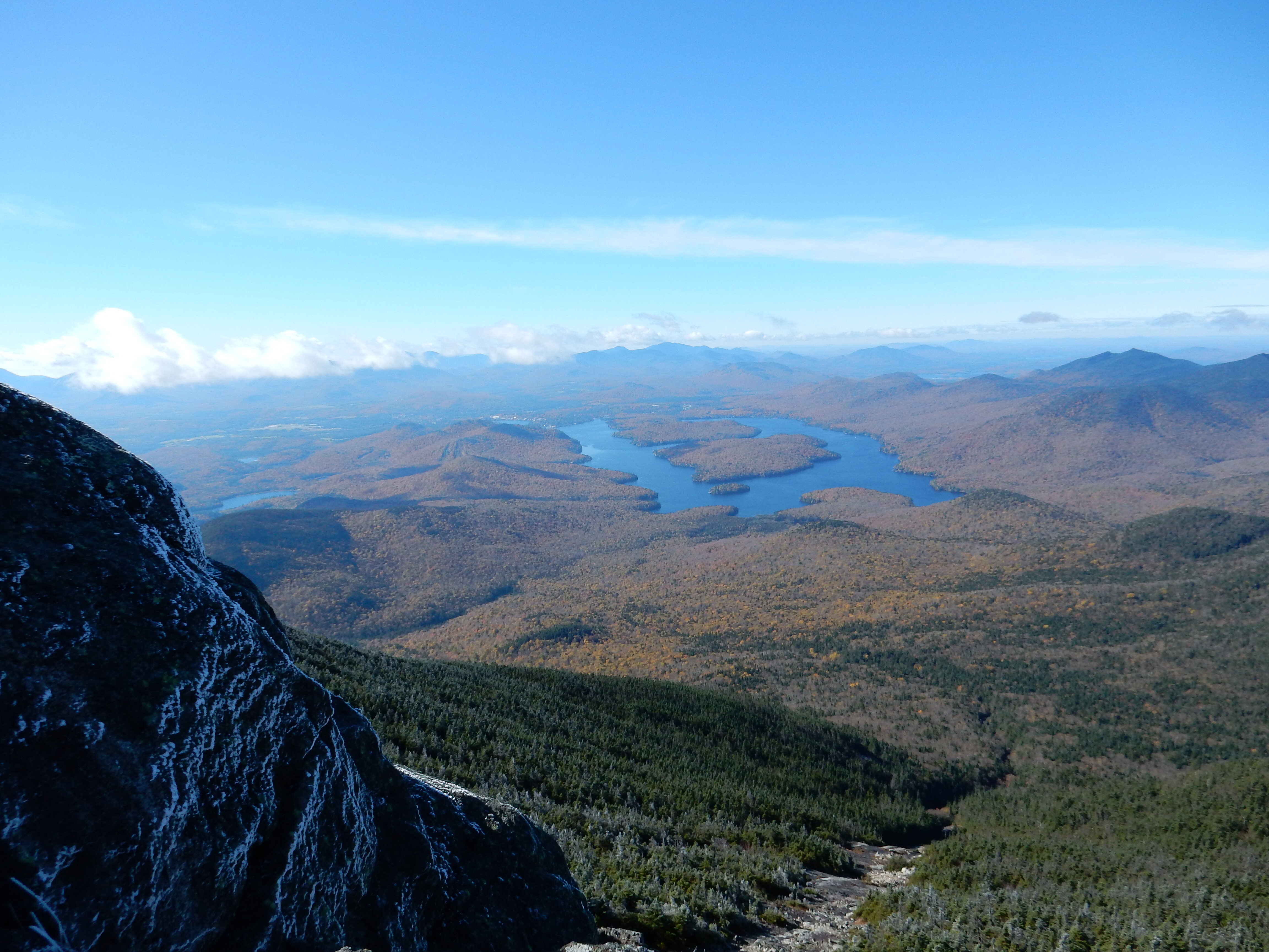
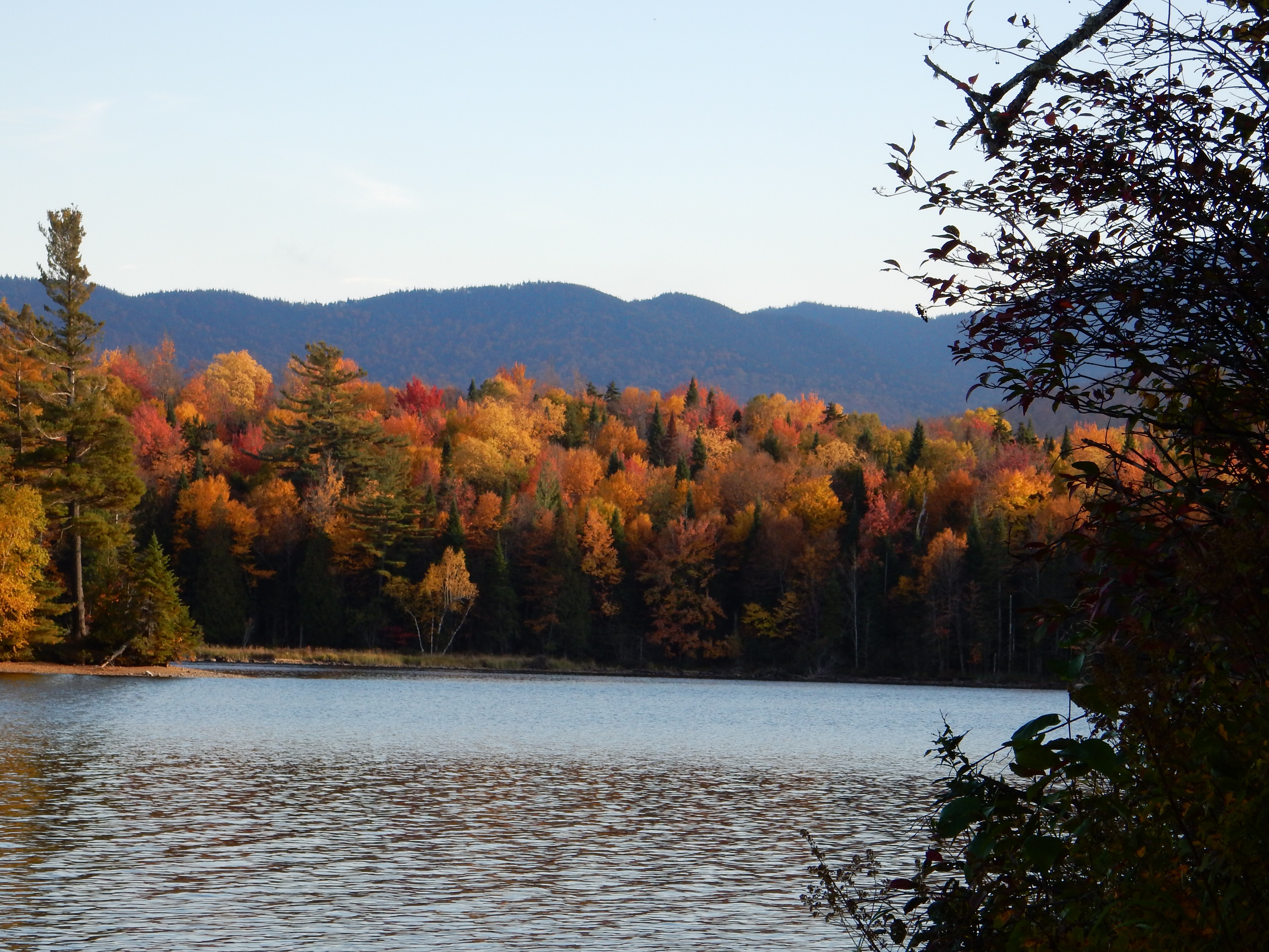
View from Whiteface Mtn
we climbed the rock/stair trail below, equivalent to 25 stories.
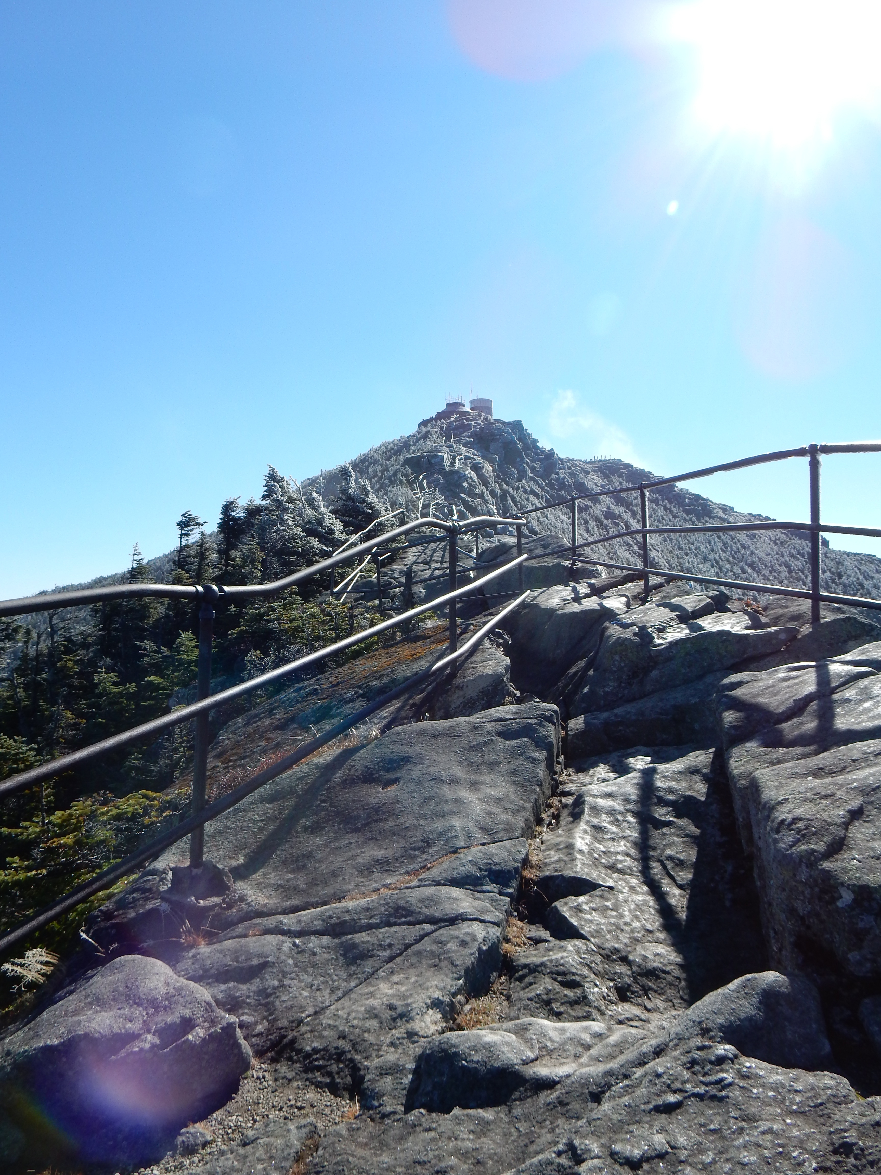
The 250′ climb to the summit
Geographically, it made more sense if we went to Whiteface Mtn yesterday (Saturday). But Saturday was raining with low clouds. Whiteface Mountain, New York’s fifth highest peak, has a great viewing platform that you can drive (almost) to. Whiteface Mtn is 4867 feet in elevation. Why go there for the view if you can not see much? So Whiteface was saved for today, a drive of an hour from our new lodgings Saturday and Sunday in Tupper Lake.
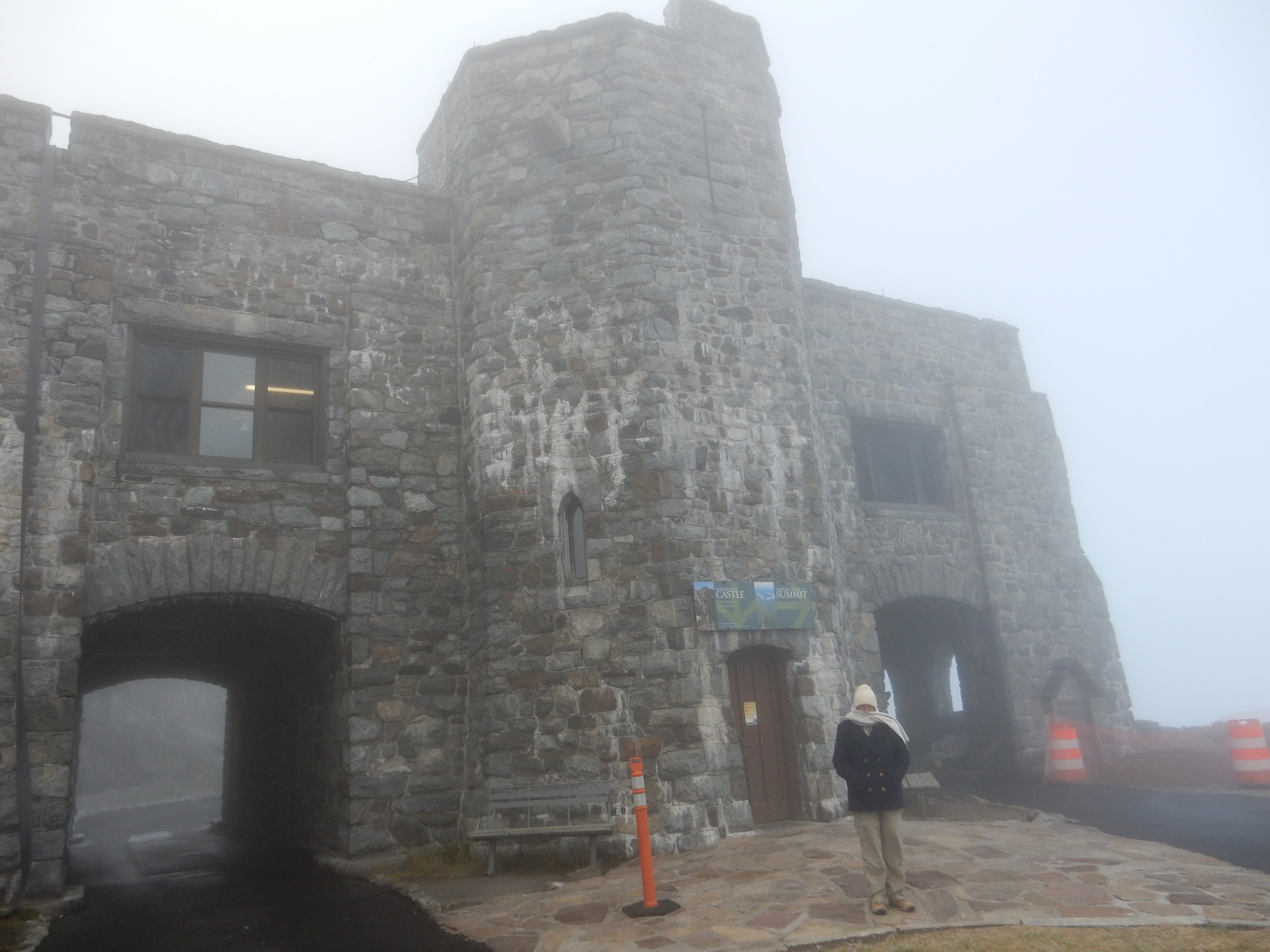
The parking lot and restaurant at Whiteface Mtn at 9:00 am
The road to the top of Whiteface was constructed in 1931-35 as a tribute to WWI veterans, as a means of employment during the Depression, and a means of bringing tourists to the area, including those with disabilities. It took until 1938 to complete a tunnel through 426 feet of rock and install a 25 story elevator to the summit. (We took the elevator down.)

Chris and Ed at Whiteface Mountain summit
We had heard stories of long waits to get into the elevator and to even enter the Memorial Highway. It has a toll and only a limited number of vehicles can access the mountain at one time due to limited parking at the top. Today’s weather called for a cooler day with sun between about 10 and 2. The gates open at 9 am. Do we go early and avoid the crowd or do we go later when the view is better and endure multiple waits? We decided on going early and waiting up there until the skies cleared.
We were the 6th car parked at the top a little after 9 AM. The clouds were present about one half way up the mountain. The sign at the gate indicated that summit was 31 degrees, 10-20 mph winds, and zero visibility. It was cold up there. Fortunately they have a building with rest rooms, gift shop, and restaurant. Unfortunately the kitchen opened at 11. We had passed on the continental breakfast at the hotel in order to avoid the crowds and figured we would eat at the restaurant while we were waiting. Eventually coffee was brewed and Chris had some and then goulash was hot and I had some. A little after 10 the skies had cleared.
The hike to the top was on a combination of stairs and stone outcroppings with metal railings. The railings were still ice-covered in most areas but the stairs/stones were usually dry.
The climb up was a challenge with the wind, the cold, and uneven footing but we made it. The top has a small weather station, the elevator, rock outcroppings you can stand on and a few constructed platforms. The view was fantastic.
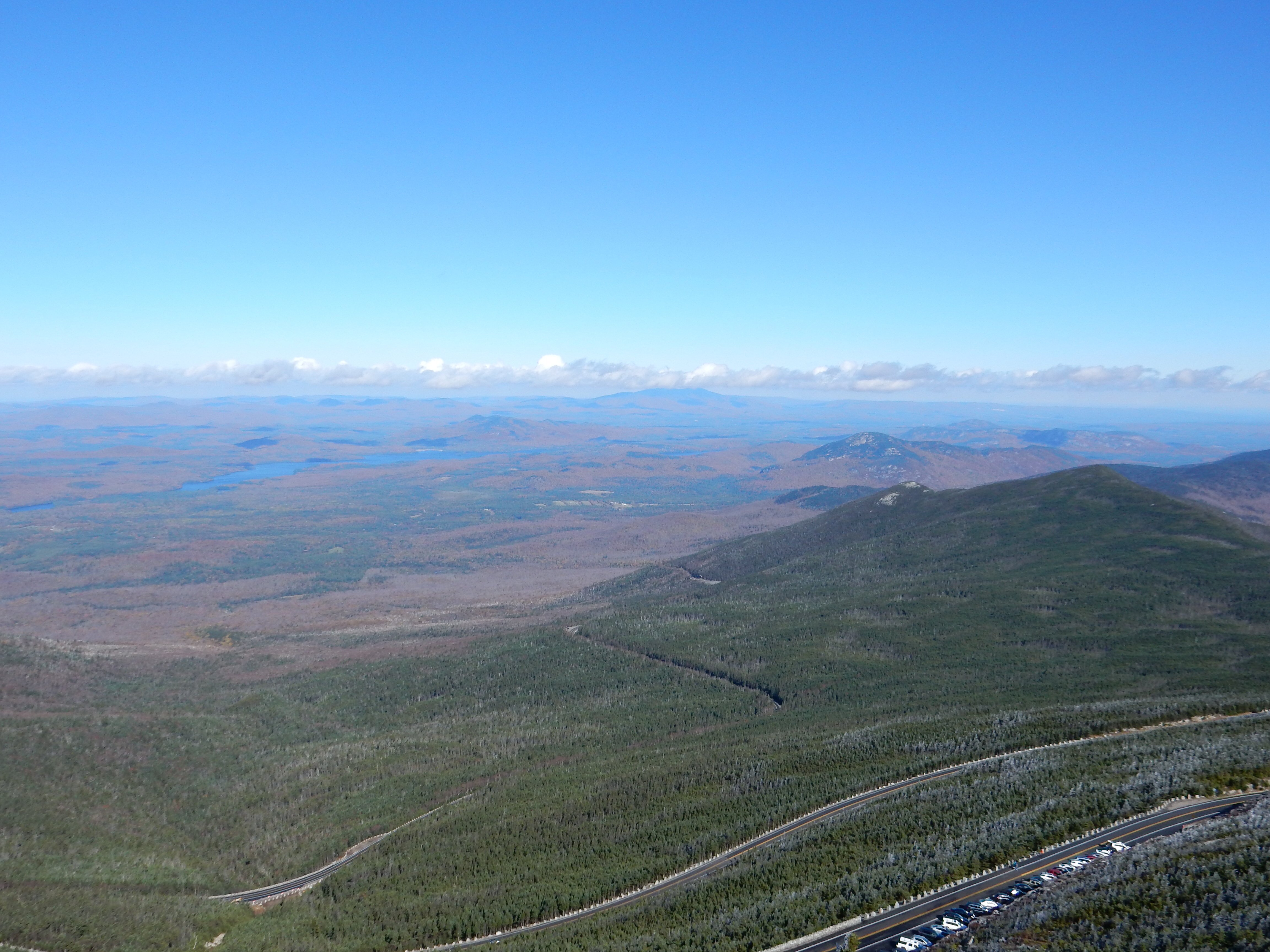
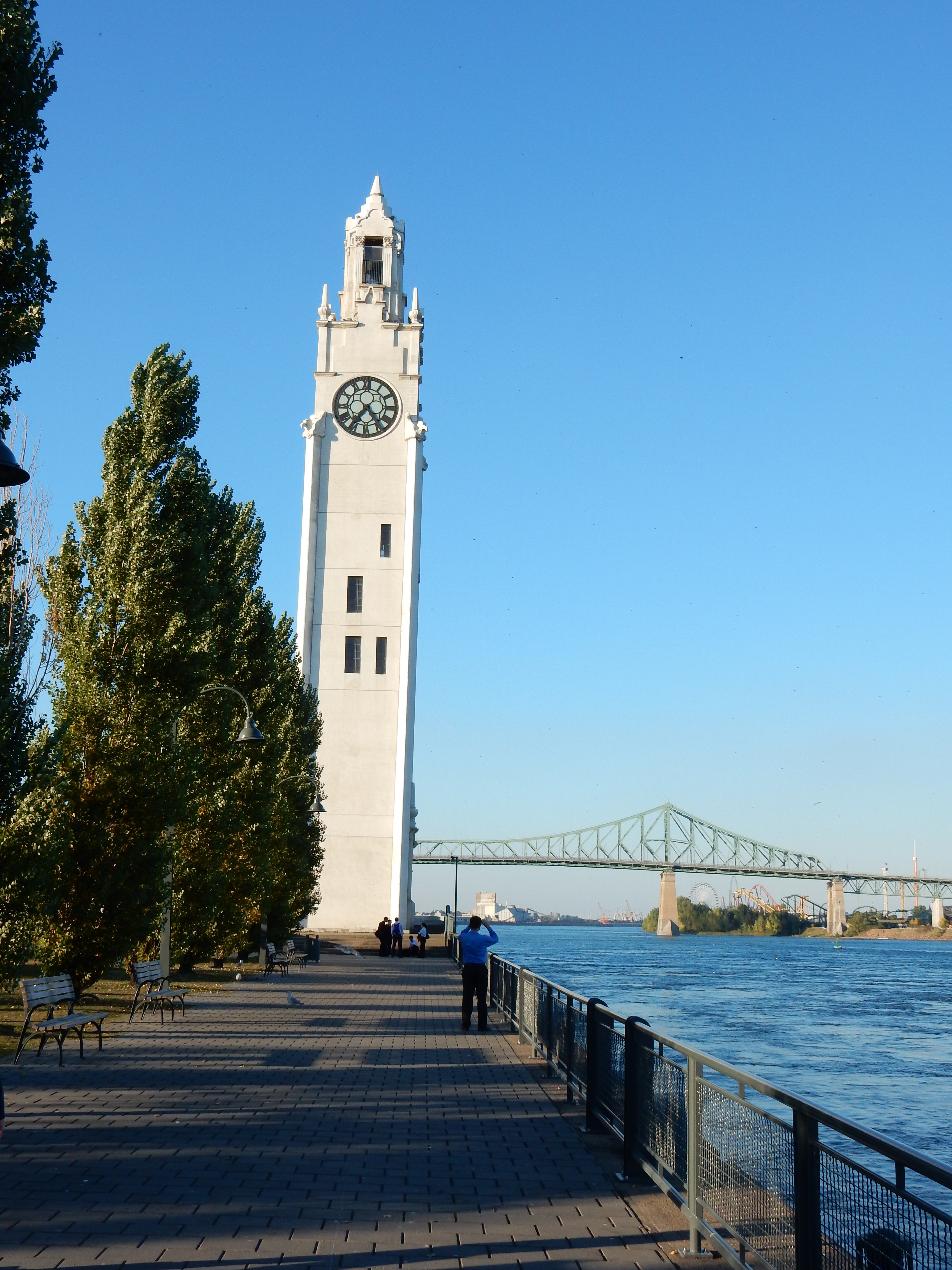
View from Whiteface Mountain
You can see in all directions, into Vermont, Montreal on really clear days, Lake Champlain, and the other peaks in the Adirondacks. The Adirondacks have several distinct sections. Keene, our first lodging location, is part of the High Peaks area where most of the mountains over 4,000 feet are. Tupper Lake where we are staying now, is considered more of the lakes and rivers section of the Adirondacks.
Our view from Whiteface Mountain allowed us to gaze on many of the “High Peaks” of the Adirondacks. We gazed at Mount Lyon in Canada, at 3829 feet the highest point between here and Siberia. There is a ski area on Whiteface also. It has the highest vertical drop in the east and compares very favorably with the big name western ski areas. The Adirondacks are steep slopes due to the Canadian Shield rocks that resist weathering well.
After enjoying the view and chatting with fellow travelers, we took the elevator down to the parking lot. As had been expected, the elevator, which only holds about 12 people, had a long line for people to come up to the top. Your eyes have to adjust from the bright sky of the summit, to the dim lights in the elevator and dark lighting in the tunnel cut through the rock to the bright light outside again.
As we left Whiteface Mountain, there were more than 30 cars waiting to go up the road. Adirondack Park receives numerous visitors from Canada. It is an easy drive from Montreal, Quebec and Ottawa. We have noticed some signs in English and French although not as many Americans in service industries speaking French to their visitors from Canada. Nothing as sophisticated as the museum in Montreal that had head sets with eight language options.

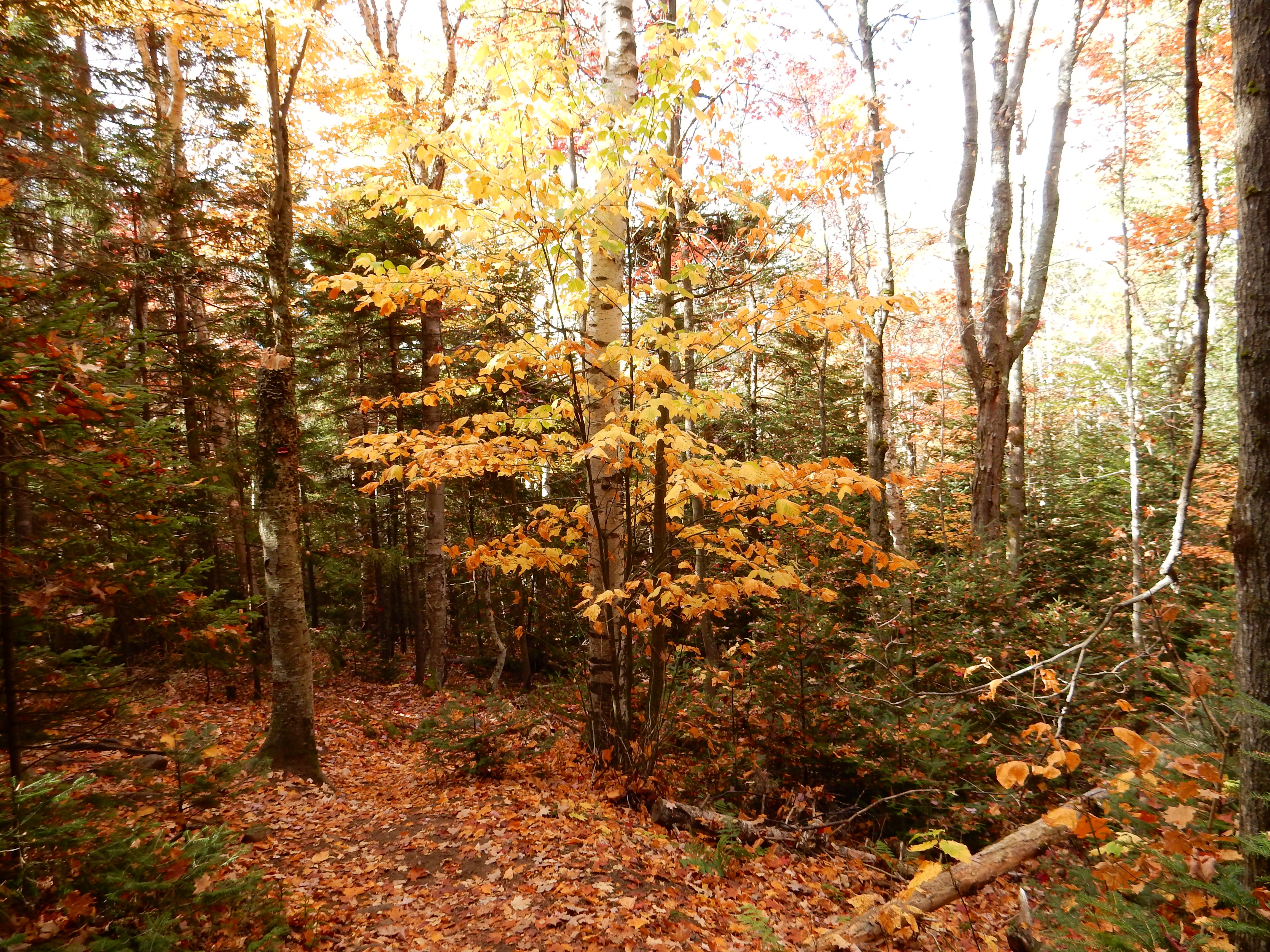
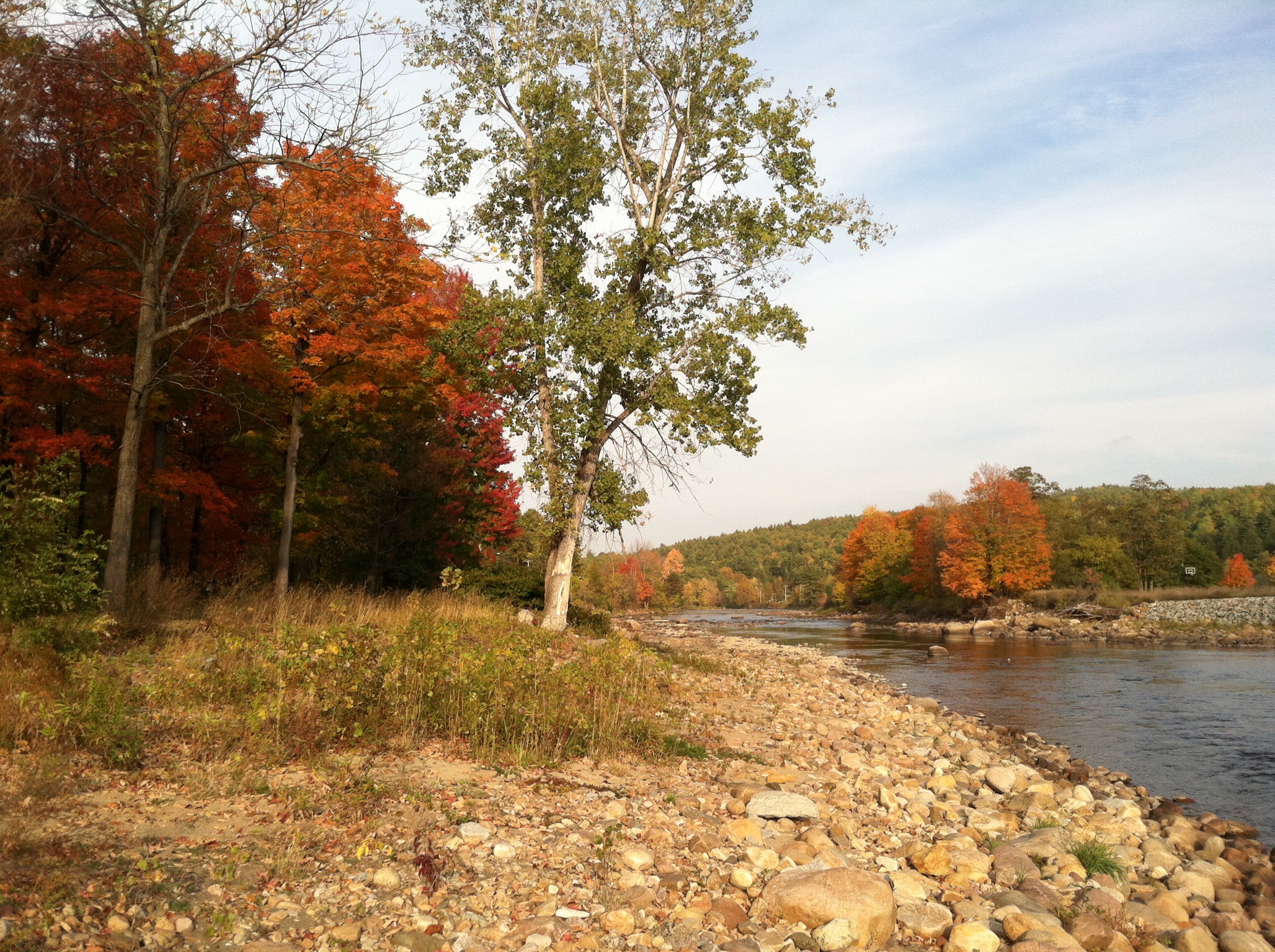
On one of our walks
After lunch we did some modest hiking at several locations in the woods. One location was dedicated to New York State’s first forester. In an interesting side note, in his efforts to test new tree planting ideas, he upset some of the landowners in this area. They went to their legislators and had his department at Cornell de-funded. Later a new College of Forestry was established at Syracuse without him. It remains at Syracuse today.
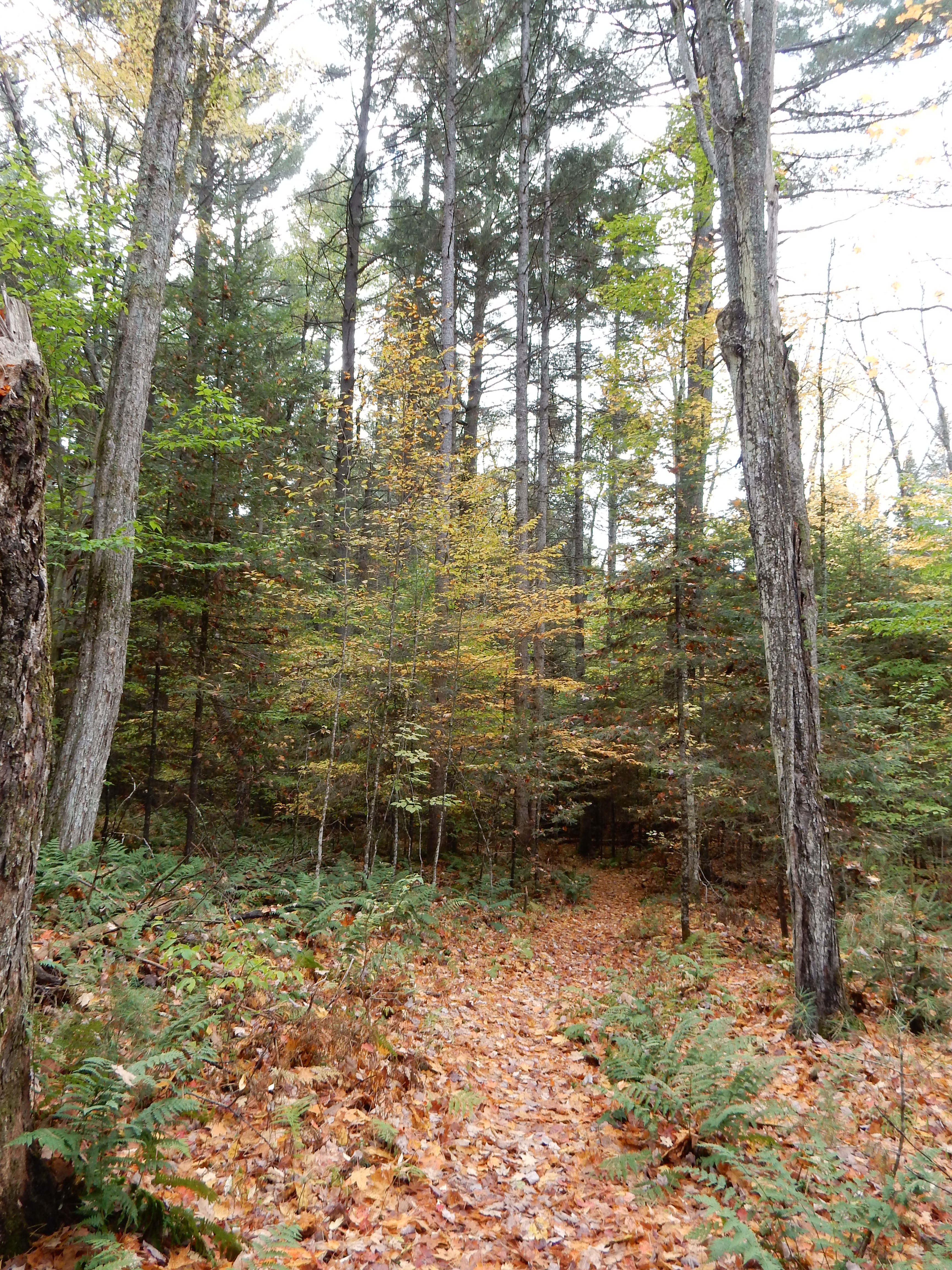
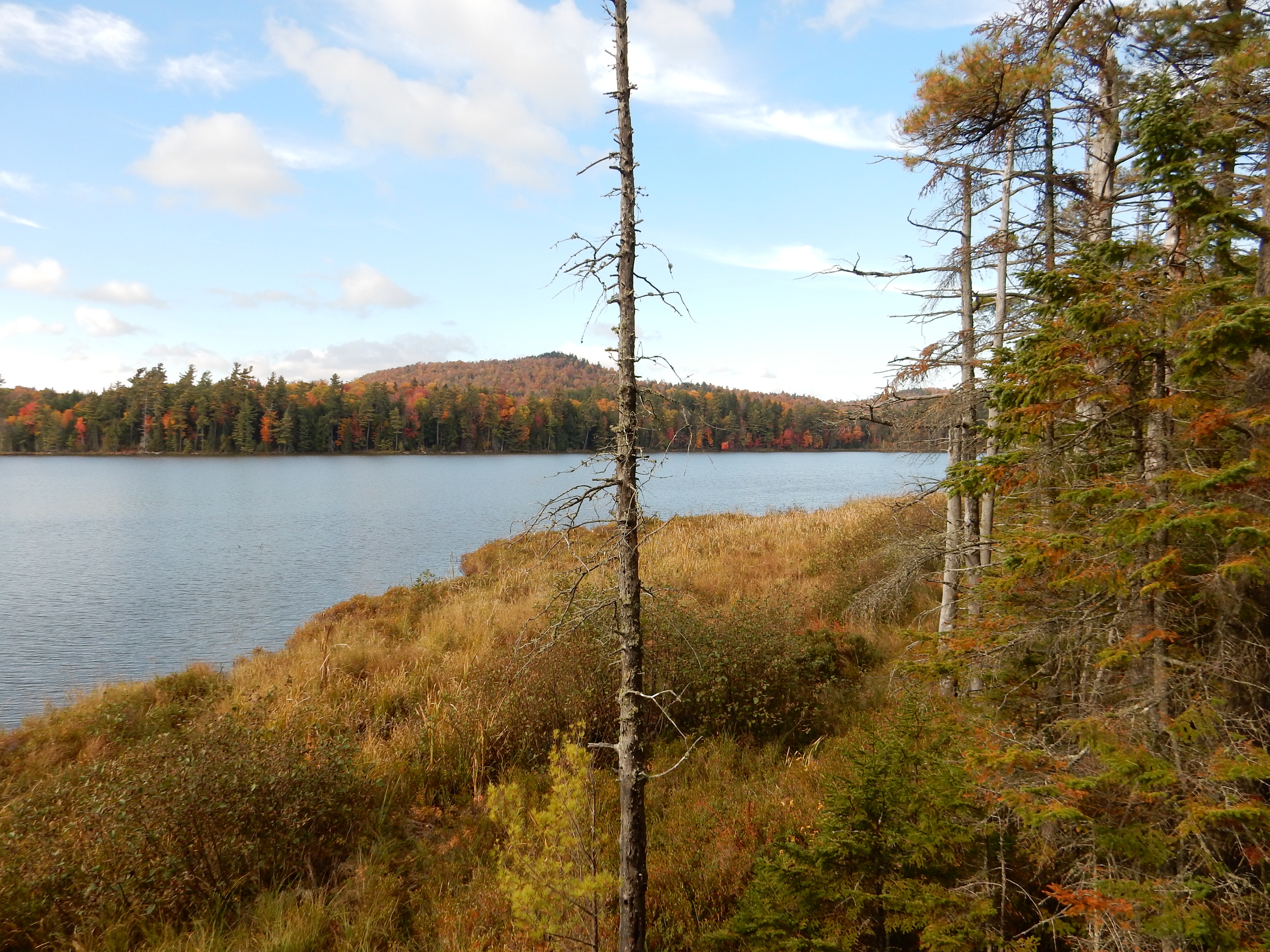
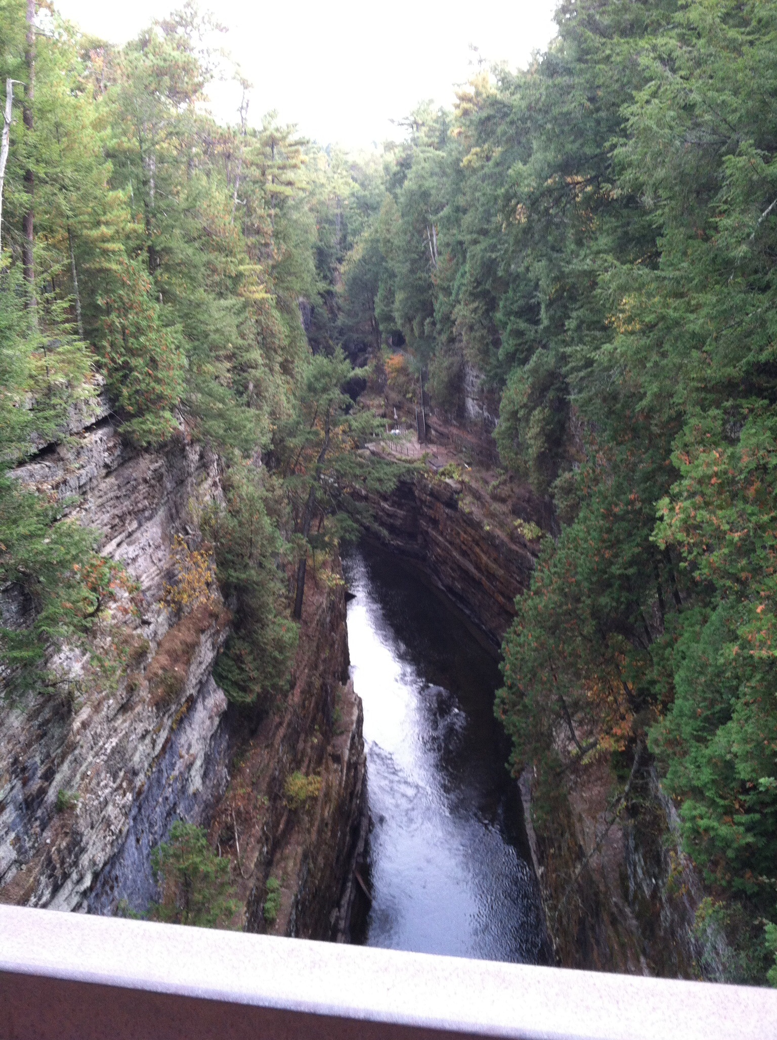
Another walk in the Adirondack woods
It seemed to take us more time to find the spots than to hike them. New York State, at least in this area, uses very small signs, set back from the road, in the same color scheme as the signs indicating who volunteered to clean up trash on a section of road, to mark areas of interest or recreational use. In fact, the road signs thanking the people who pick up trash are larger.

The Wild Center in Tupper Lake NY
On Saturday, since it rained most of the day, we drove to Tupper Lake and spent five hours at The Wild Center, aka the Natural History Museum of the Adirondacks. The center has been around for ten years and combines displays, animals, videos, demonstrations and hiking trails to demonstrate how people and nature can live together. The same firm that designed the Air and Space Museum in Washington designed this.

The Wild Center

The Wild Center. I guess we have more leaves to see
It happened that Saturday was a “Green Expo” day. This resulted in free admission (a savings of $32) but a larger than normal number of visitors. We skipped the vendor tables but did listen to one presentation detailing how one builder enhances the living world in his construction/remodeling of homes. Some ideas were basic, emphasizing the critical benefits of smart tree placement on a residential lot. Others were more radical, encouraging people to study the history of the lot they are building on (for hundreds of years) to determine the plantings that are native to the area. No mention of cost in the presentation.
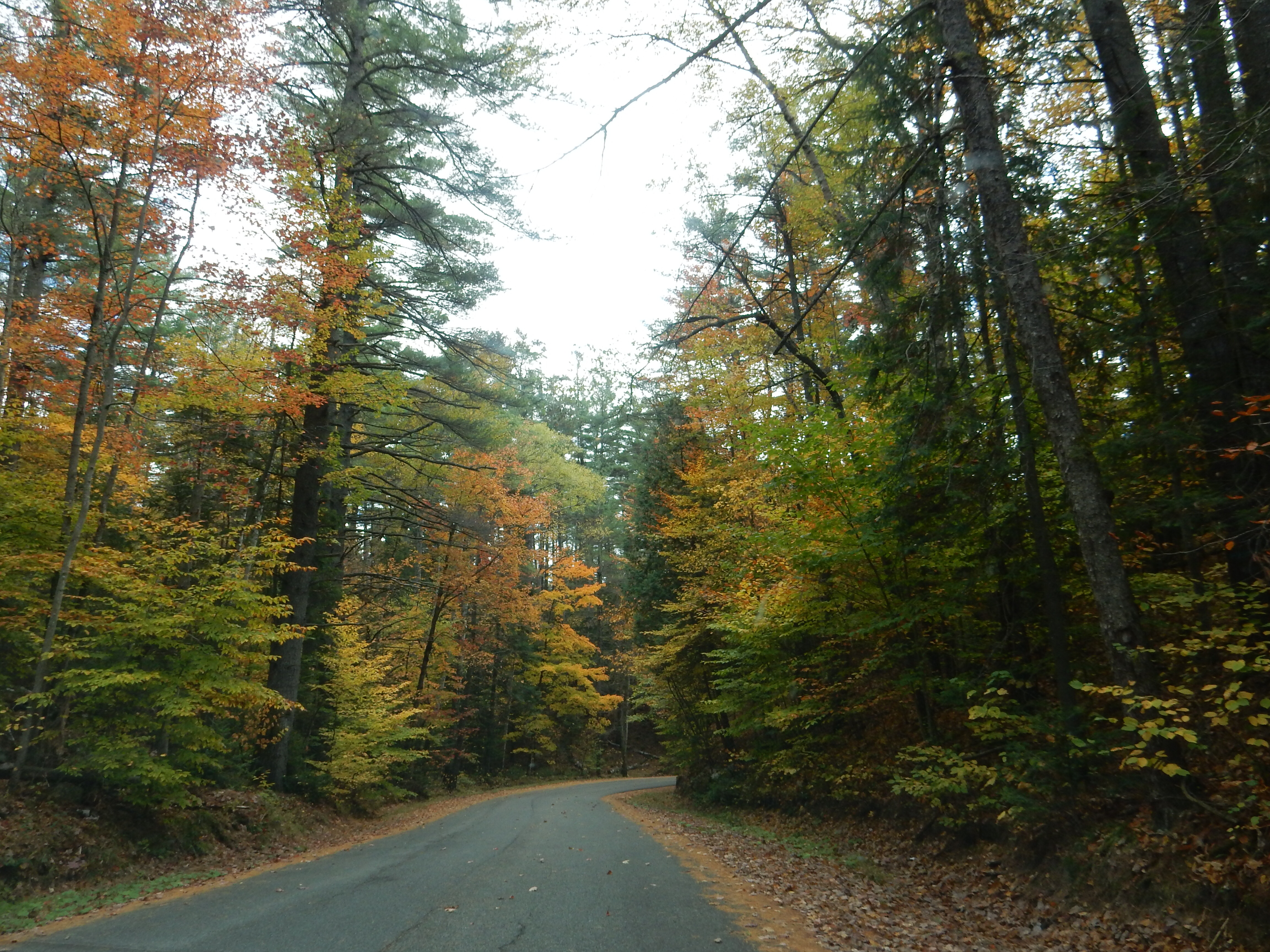
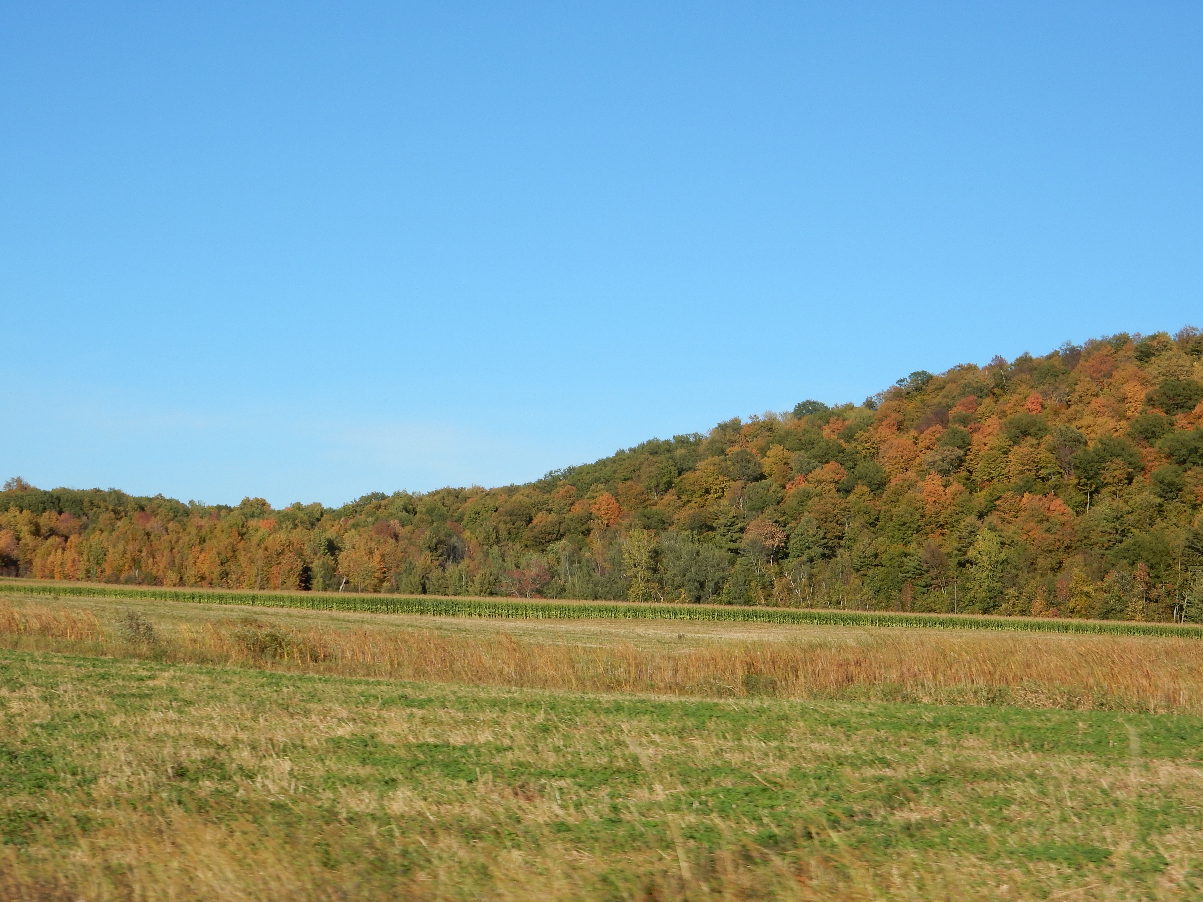
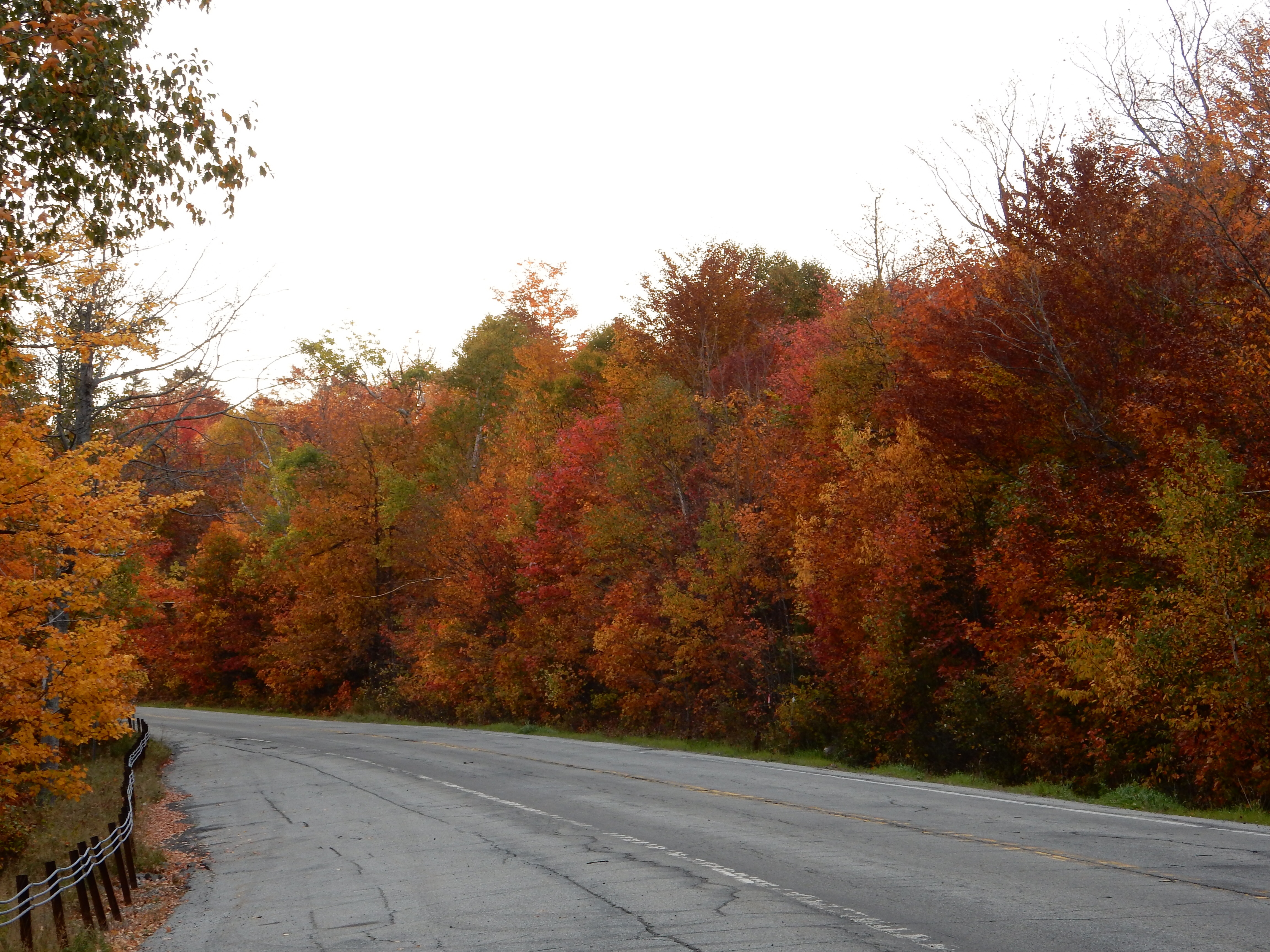
driving through the Adirondacks
Between Saturday and Sunday, our drives to and fro, we have driven many back roads and enjoyed the scenery. As you might expect, the fall colors are starting to fade but beauty is still there. Monday we will head further south to Lake George.
Ed and Chris 10/5 9 pm


Recent Comments