
Chicago, April 12
Even good people do bad things, or dumb things, or patriarchal things, depending on your perspective. Our priority for the day was the Pullman National Monument here in Chicago. This National Monument is only one year old and it will take several years, and money, for it to be outstanding. However, the story it tells today is still impressive and enlightening.

George Pullman was another of those American entrepreneurs of the 19th century that made a fortune through innovation and hard work. He took an idea gained from inconvenient and unpleasant rail traffic in the mid-1850s and produced a new type of railroad car that transported passengers in comfort. He was able to market it to passengers and railroads so that traveling in “Pullman” coaches was the only way to travel. Not only did he build the coaches, he rented them to the railroads and staffed them. In effect, the railroads outsourced their passengers’ comfort to the Pullman company.
In his desire to do things right, he believed that his product would be made better and more efficiently if his workers did not live in slums. He bought hundreds of acres of land south of Chicago (it is now part of Chicago proper) and proceeded to build his complete factory, a company town for his workers, a gas works to produce natural gas from coal, lumber yards to mill his own wood, rail yards to transport raw and finished products, etc.

Part of historic Pullman

Part of Historic Pullman
But it is the company town that we went to see in particular. The factory is no longer, most of the buildings were destroyed or derelict or razed and replaced with other large business operations. The last railroad car was made in 1981. The planned community was threatened with destruction and replacement with an industrial park but the residents rallied and it still exists.
However, our story has its focus on the 1880s and 1890s. The planned community provided a living environment vastly superior to the slums most factory workers lived in. The housing included indoor plumbing (rare for that time), schools, landscaped streets, shopping, a church, a hotel, parks and a lake. It was proclaimed the epitome of urban living and a model of enlightened manufacturers. Housing stock varied among apartments and a variety of row house options. Workers were paid in cash and not forced to shop at company stores like many other company towns. But beneath the veneer, the company was still in control and this lack of freedom would prove to be a problem. Most notably, homes could not be owned, only rented.
In 1893, the world and the U.S.endured a major depression, The Panic of 1893. Economies tanked, banks failed, companies went bankrupt, unemployment soared. Pullman’s orders for new cars plummeted. The company responded by cutting wages and workers and by accepting new orders for less than the cost of making the rail cars. Understandable from the owner’s perspective. However, Pullman owned the homes his workers lived in, and did not reduce the rent they owed. The frustrated workers’ grievance was ignored and led to the Pullman strike of 1894.
These early days of unionization were scary ones. Unions threatened owners long used to complete control. There were no safety nets for workers. The strikers were able to organize a nationwide boycott of railroads that used Pullman cars. Since most mail was transported by rail in those days, the mail delivery was severely impacted. Rail owners (very powerful people in those days) and the government reacted. Federal troops were called in to make sure trains were not hindered.

Pullman Administration Building-site of future Visitors Center
While there was no violence in Pullman itself, there was violence in other parts of the country. Strikers lost support and in a few months workers went back to work after pledging not to join a union. George Pullman remained aloof during the strike and made little or no effort to understand its cause. While no one was ever evicted from their home in Pullman city, the threat of eviction was always present. Relations between the company and workers turned frosty.
George Pullman died in 1897 and the Illinois Supreme Court ruled that his company charter did not really cover home ownership for his workers. Over time, properties were sold to individuals and the company town was no more. This experiment in social planning and manufacturing came to an end. (Side note: Exploration of other company towns is an interesting and worthwhile topic.)
George Pullman’s legacy lives on in many ways. Railroad cars were vastly improved. Town planning took a major leap forward. His use of African-Americans as porters in his cars opened up a major avenue of middle class jobs for black men-even though African-Americans were not allowed to live in Pullman. Those porter jobs led to the creation of the Brotherhood of Sleeping Car Porters, a union that played an integral role in the Civil Rights movement in the U.S. In addition, just as the strike was escalating in the summer of 1894, Congress declared Labor Day as a federal holiday.

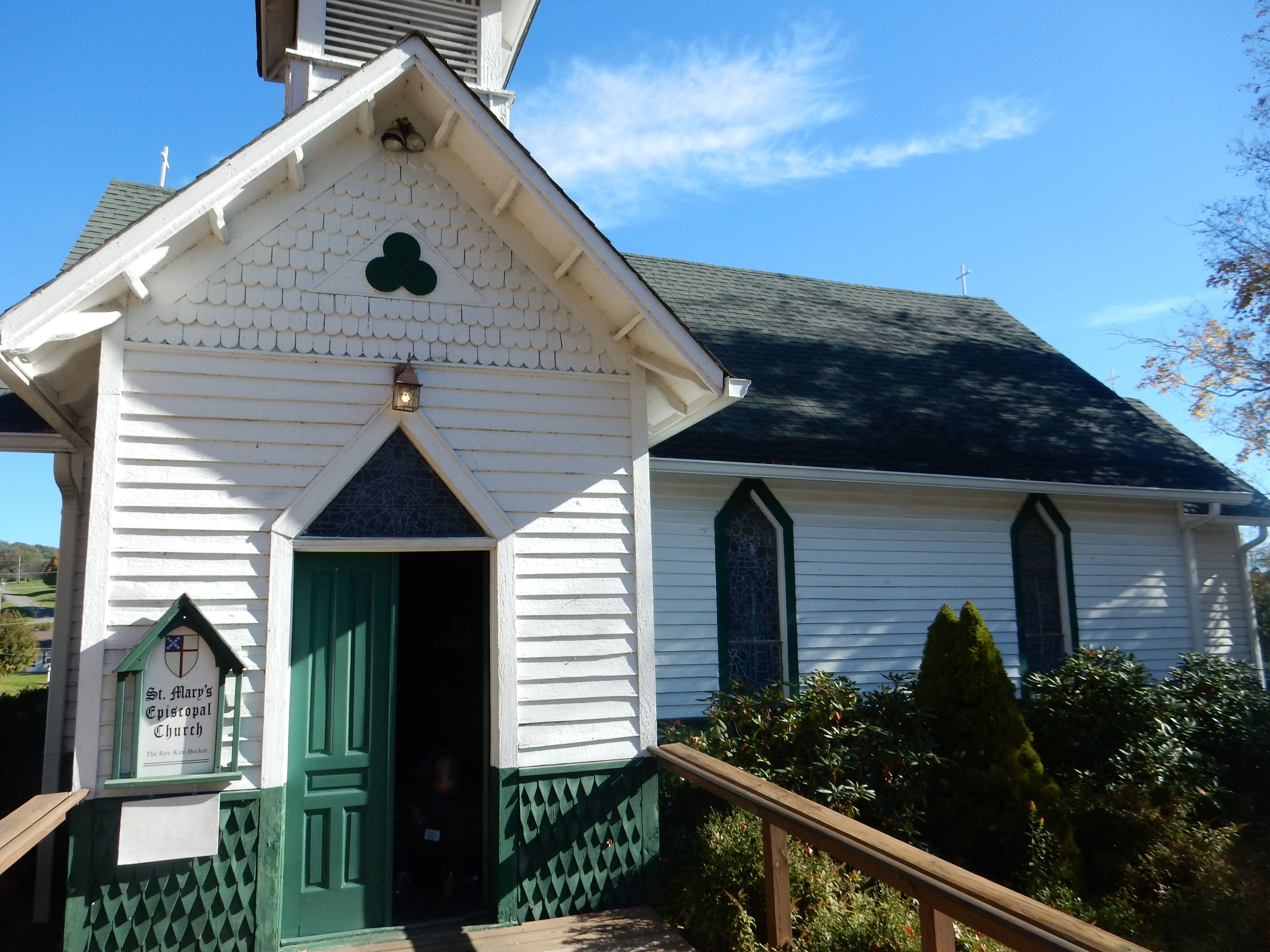
Greystone United Methodist Church
Pullman as a planned community no longer existed. Market forces determined its future. It was absorbed into the city of Chicago. However, as we walked the streets today, one can still see the homes neatly preserved. The area stands out as a more visually attractive neighborhood. The church is no longer Presbyterian but United Methodist. The hotel is in the process of being preserved. The Market is gone. The lake no longer exists but the Arcade Park is still a gathering spot. A new cafe (The Pullman Cafe) has opened (lunch was quite good). Some businesses have come and gone on the factory site. Recently a new business has developed; Gotham Grows has installed 75,000 SF of rooftop greenhouse to grow fresh produce.

Old Florence Hotel under renovation
Plans are underway to convert the old Pullman Company Administration Building into the visitors center for the National Park Service with space for displays of Pullman cars. While these more dramatic surroundings are still a ways off, the area is still worth visiting with a compelling story line.
And yes, we did meet our two Amtrak lunch companions from Monday in Pullman. Our walk around Pullman introduced us to many residents who were always gracious and friendly. The custodian of the church was just leaving as we walked by and opened the doors for us to look inside and take pictures. The day was sunny, and while more warmth would have been nice, it was a pleasant day to re-learn some of our nation’s history. Over lunch in the Pullman Cafe, we wondered what George Pullman might have done differently to avoid the strike. To me, it seemed impossible. The same vision that led to the planning of the town led to an attitude that “Father Knows Best” and control of the town was essential to Pullman’s belief that he had created, and maintained, a marvel.
We took our first Chicago commuter ride, using the Metra line to get to Pullman and back. The site is only open from 11-3, and while we were there early to walk around the town, the Metra ride was easy since it was non-rush hour.
Walking around Chicago is always a pleasure, the architectural diversity and creativity is outstanding. We may have slowed down some workers as we walked slower,looked around more, and did not violate traffic laws as we explored the downtown. One intriguing store was a retail shop selling artworks (jewelry, photography, paintings, etc.) made by teenagers. Interesting concept but we did not buy anything.

Walking around downtown Chicago
I have read that Chicago has over 7,000 restaurants. Our choice this evening was selected by my cousin Sue who met us for dinner at the Slurping Turtle for home made ramen. As Sue said, this is not your college ramen. It was quite tasty and we three had an enjoyable discussion and an opportunity to re-connect. Maybe it won’t be so long until we are back in Chicago again.

Sue, Chris and Ed at the Slurping Turtle
Ed and Chris
Chicago
10:15 PM


Recent Comments