
Editors Note: Sorry for the delay in posting. The Montecito Sequoia Lodge is supposed to have Internet but it is down. We arrived Monday the 13th and it is still down as of today, Wed. the 15th. Cell coverage is basically useless at the lodge although it can be received sporadically as we drive through the parks. We have stopped at a visitors center to use our wifi hotspot which is usable at this location.

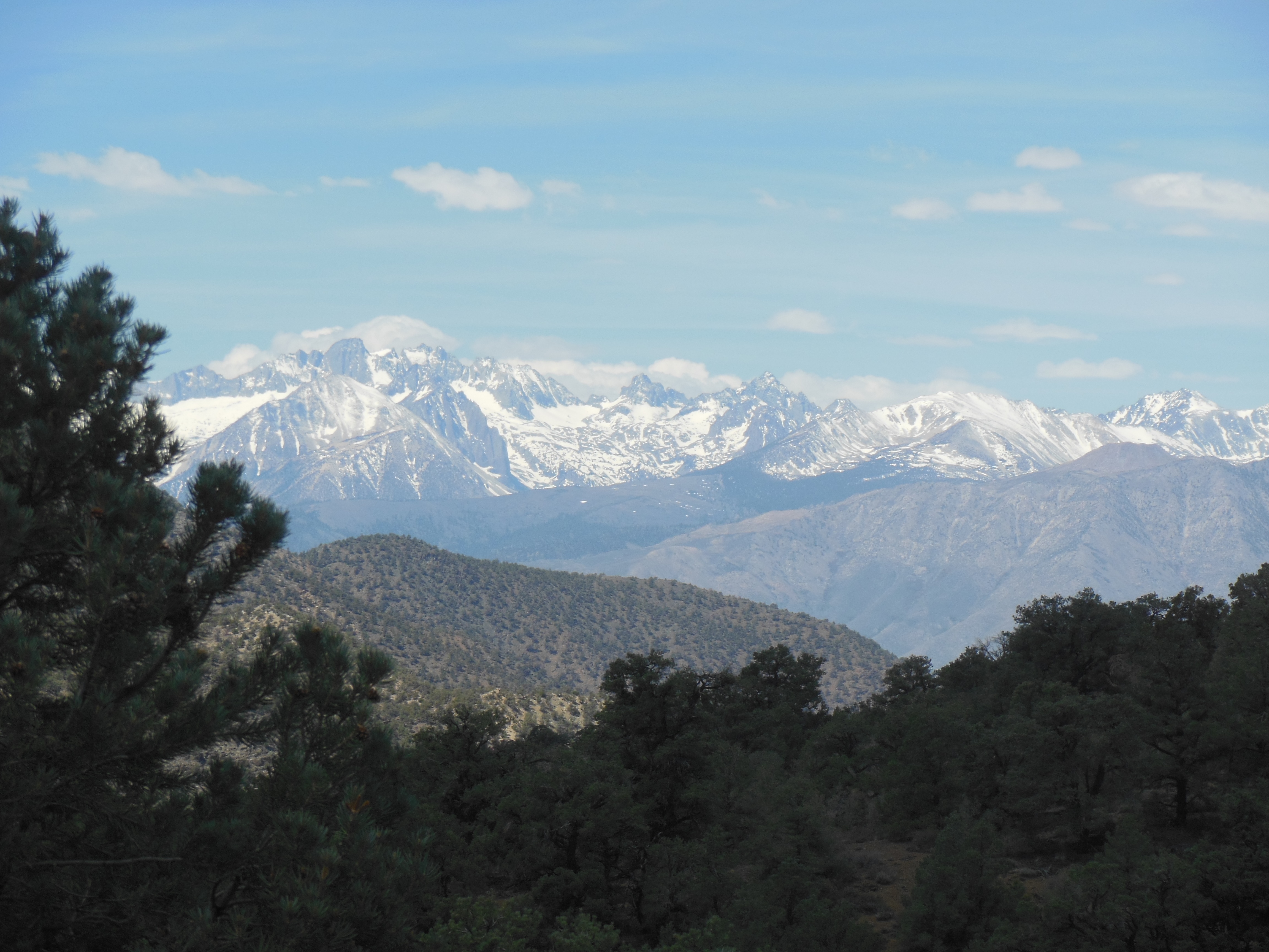
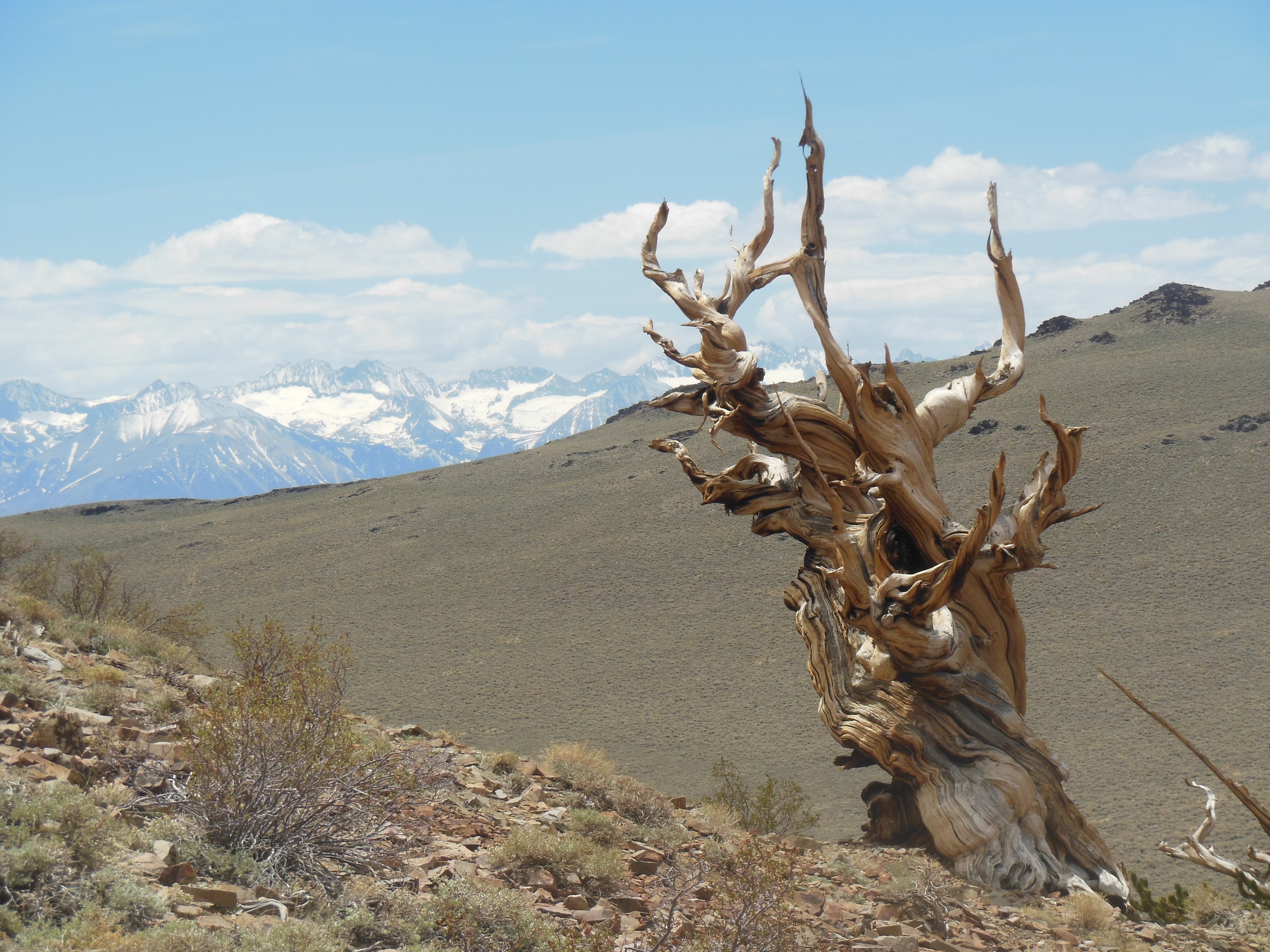
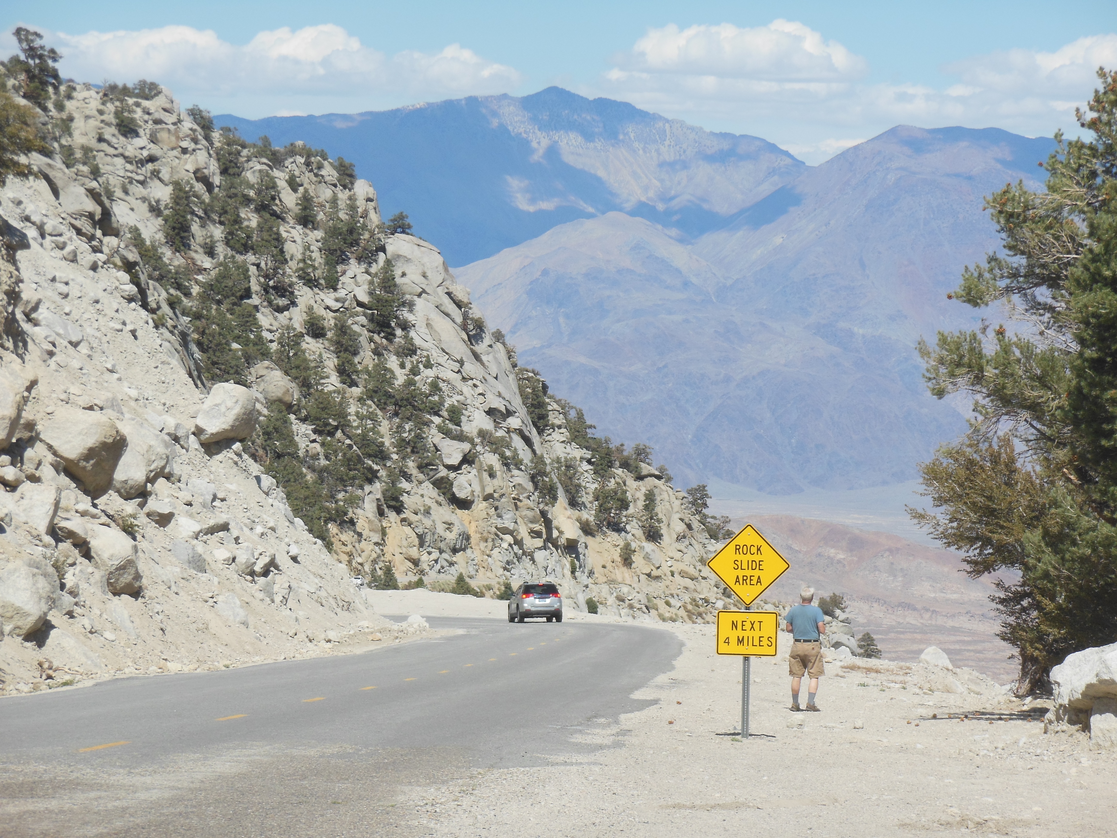
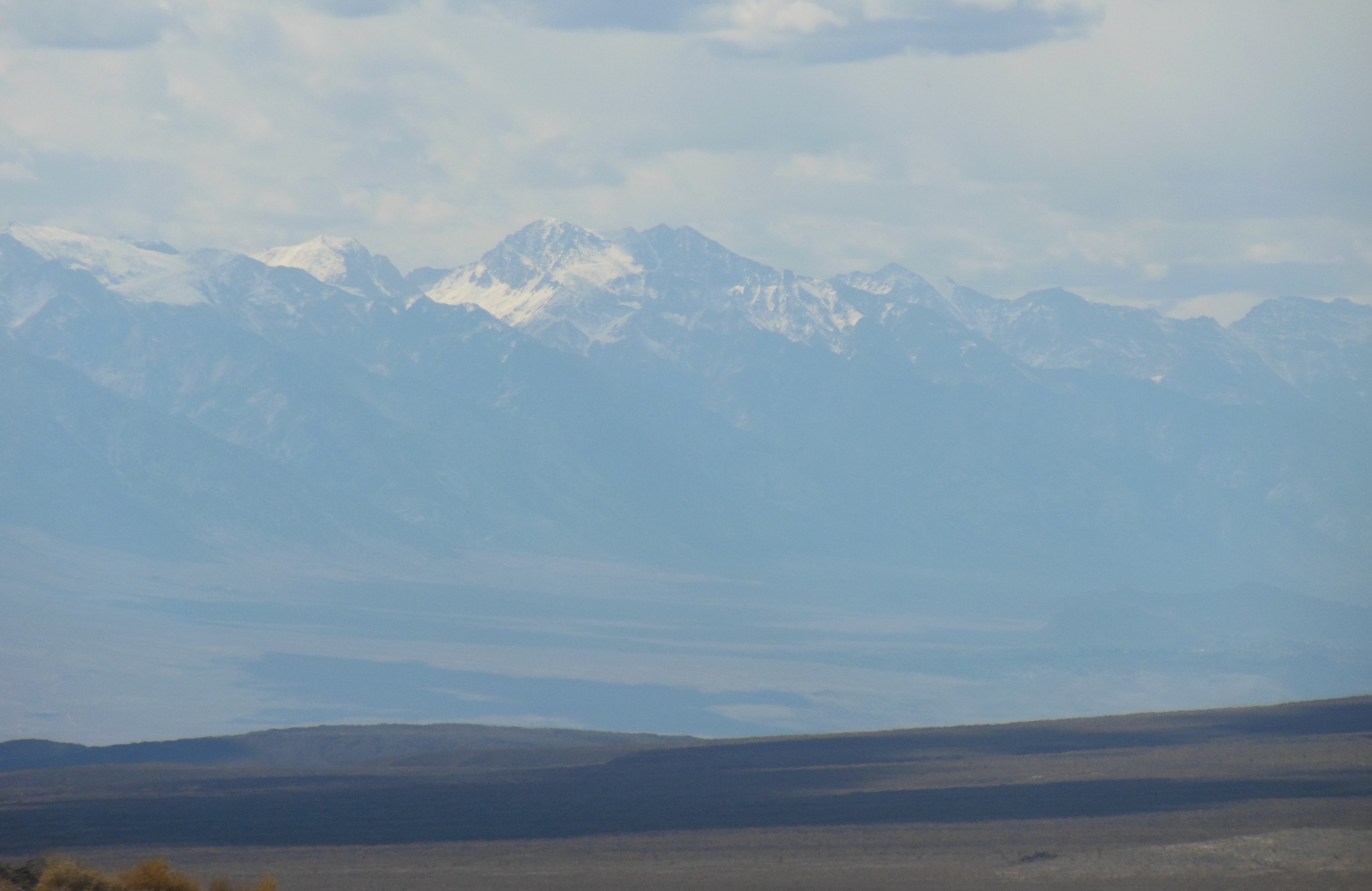
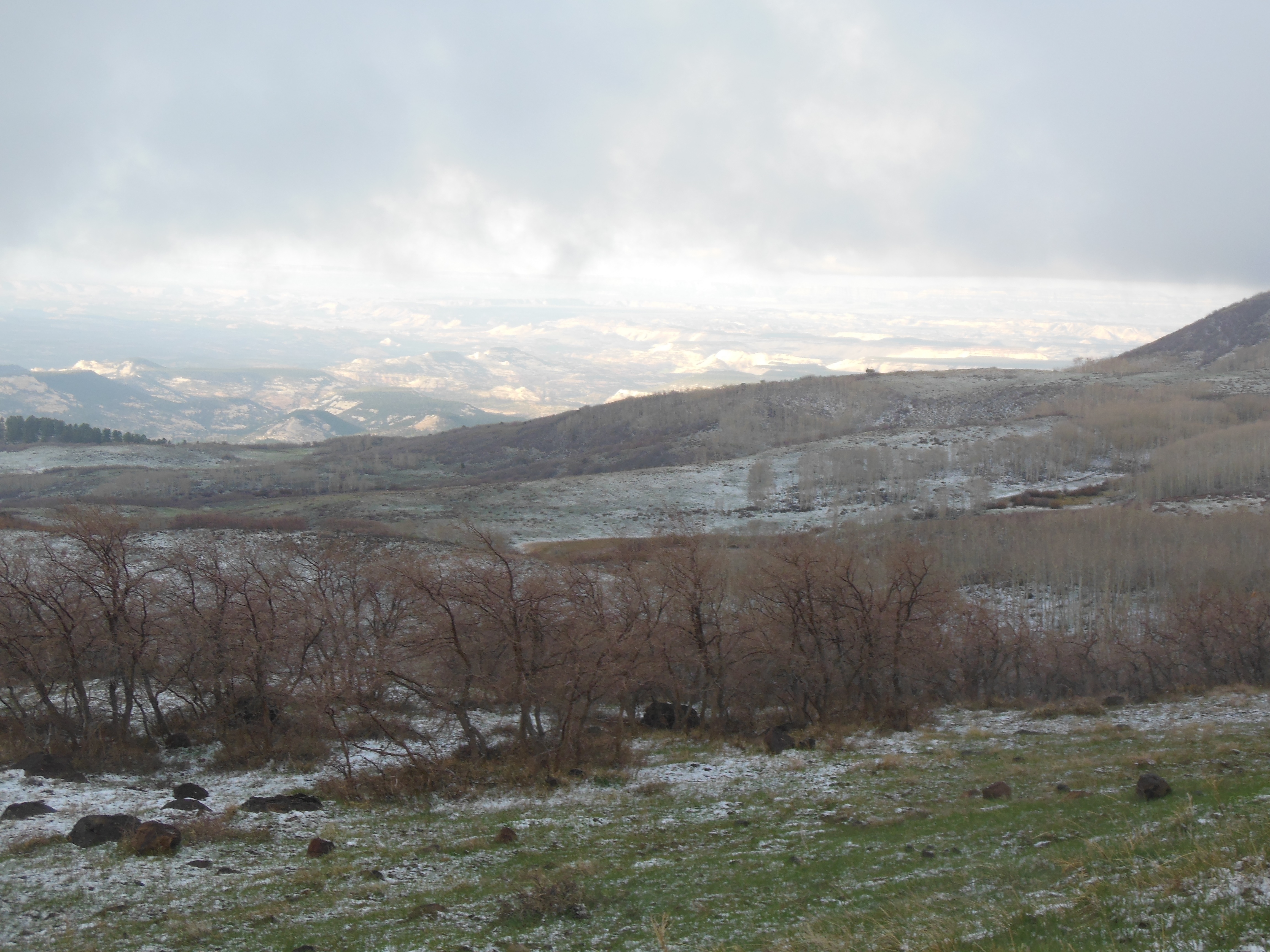
Leaving the eastern side of the Sierra Nevada Mtns
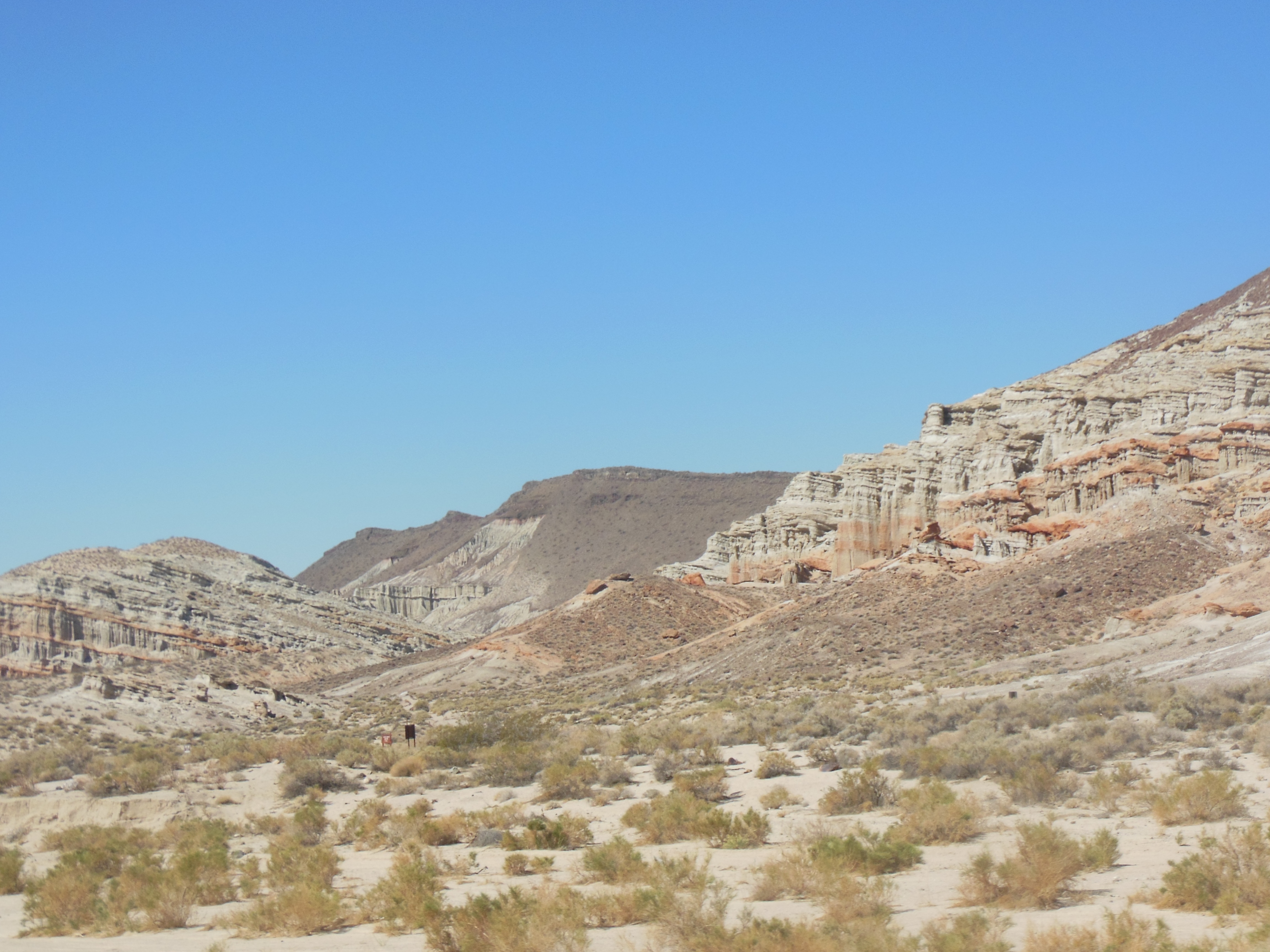
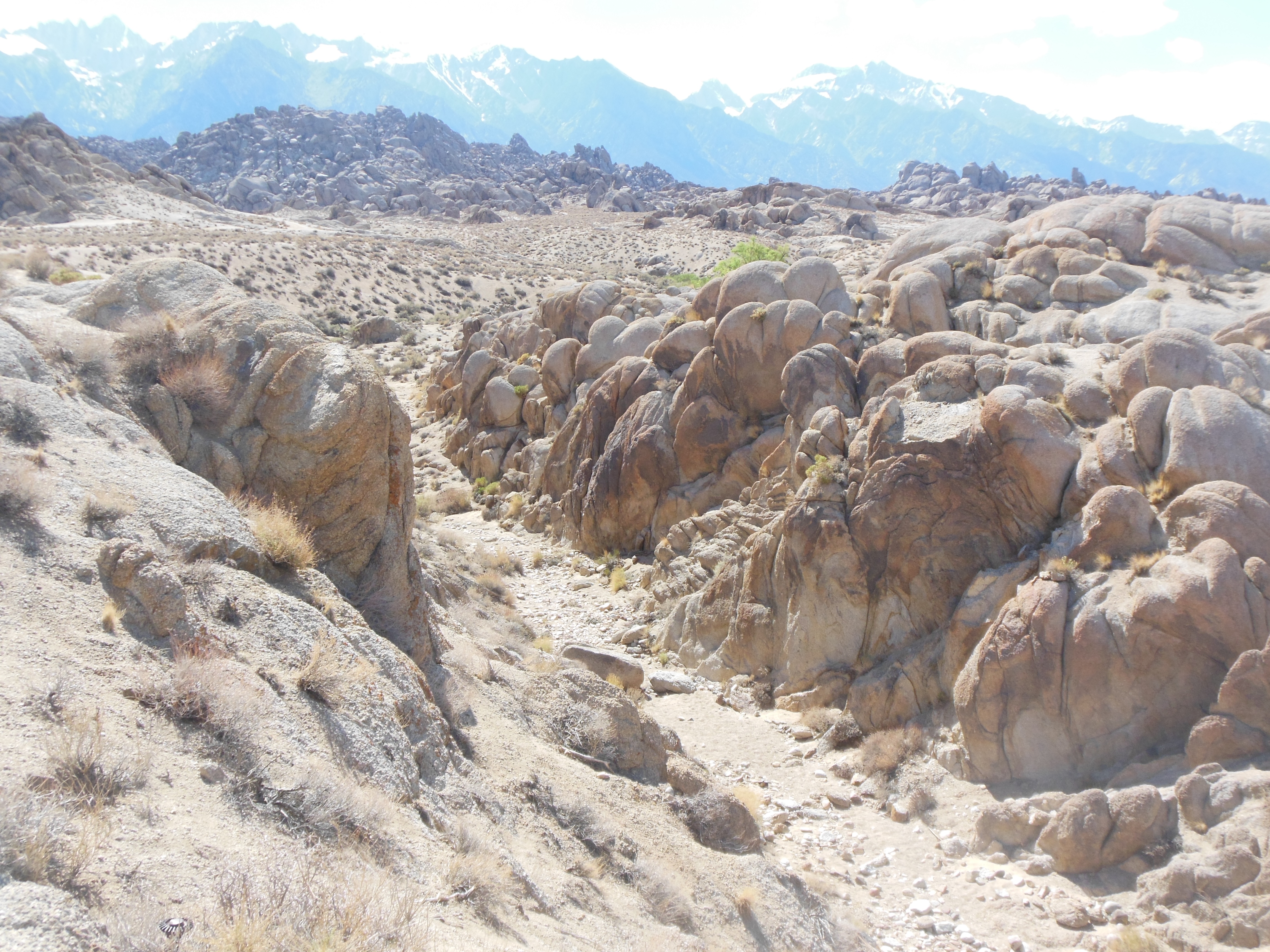
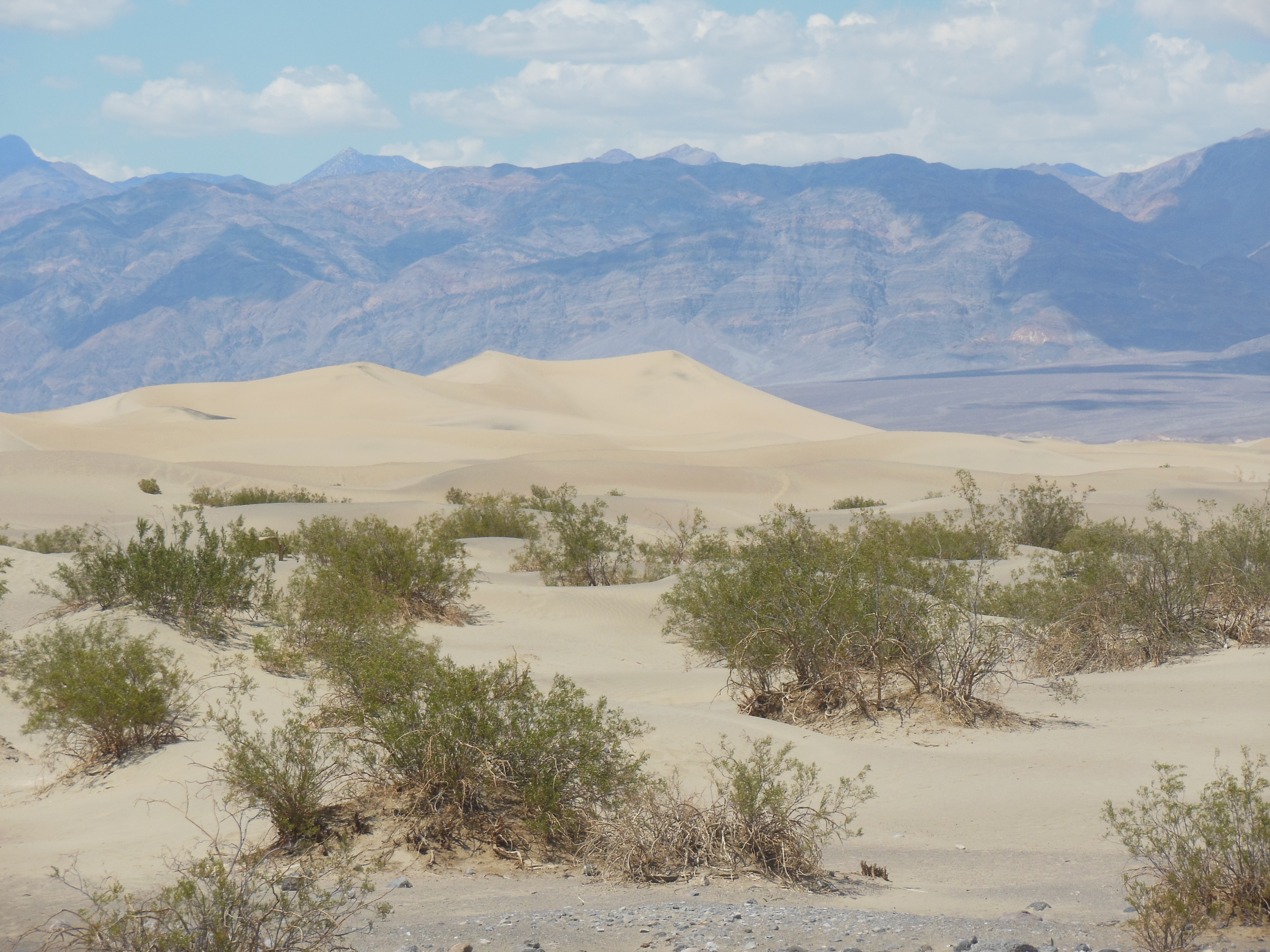
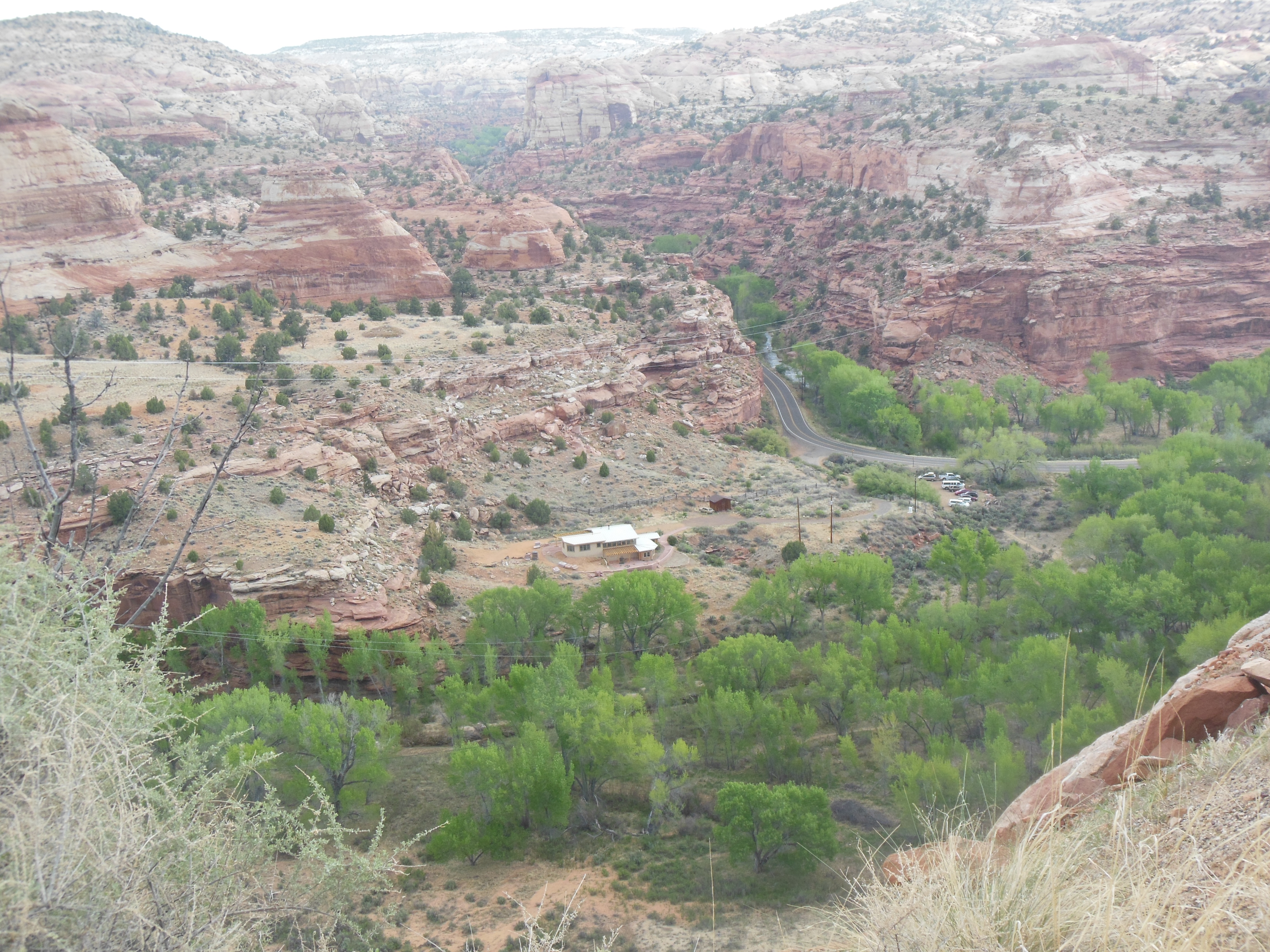
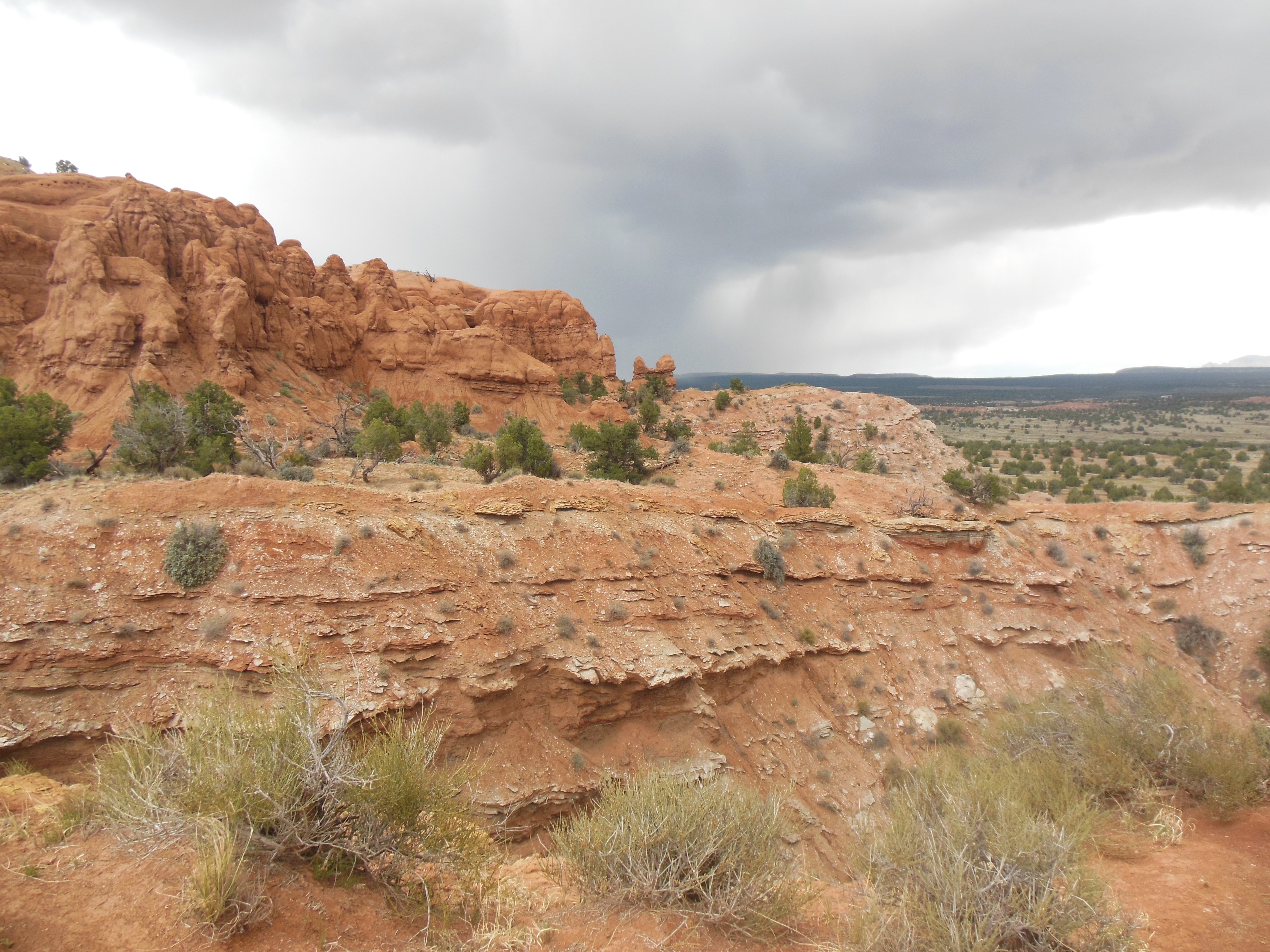
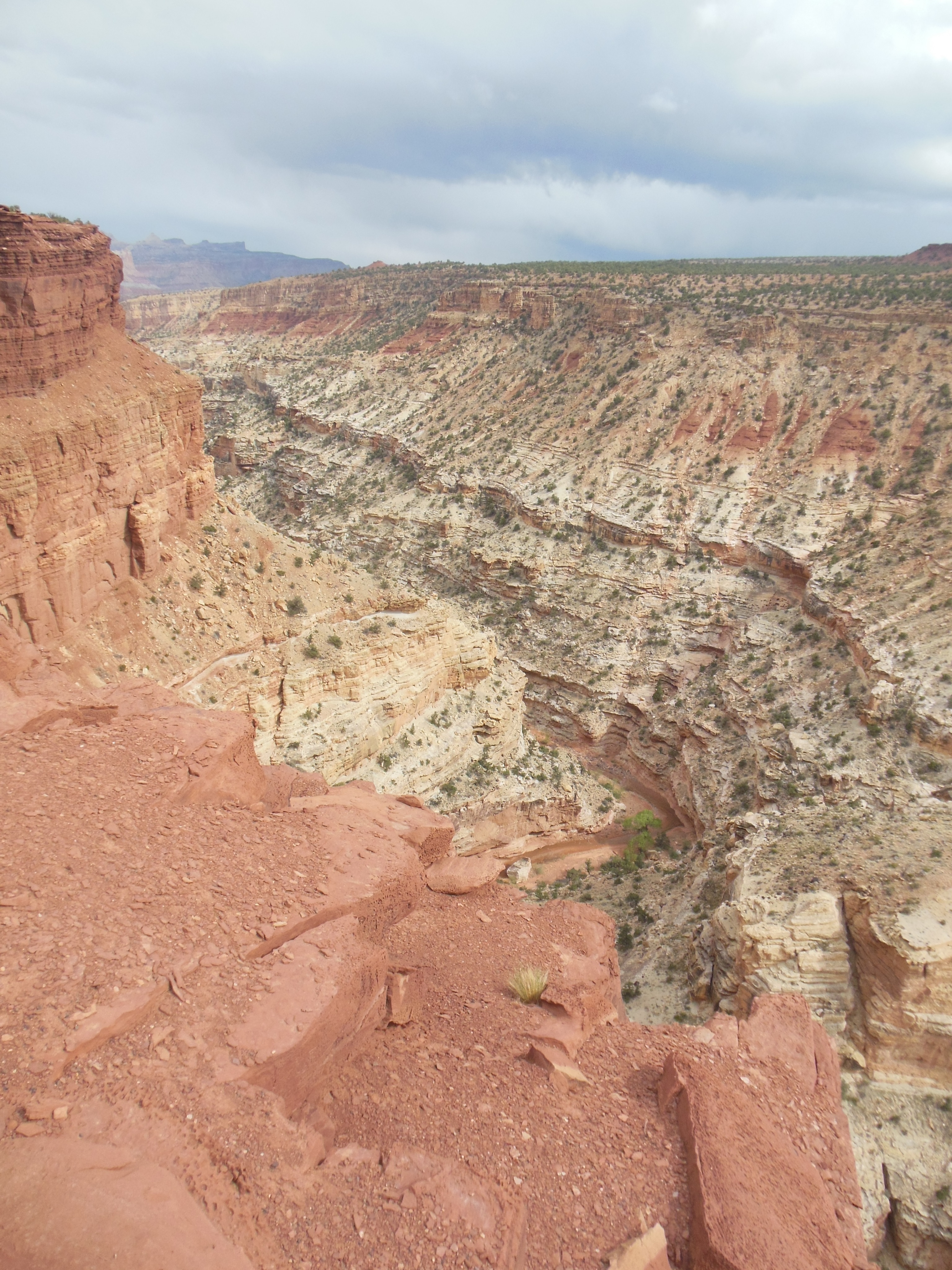
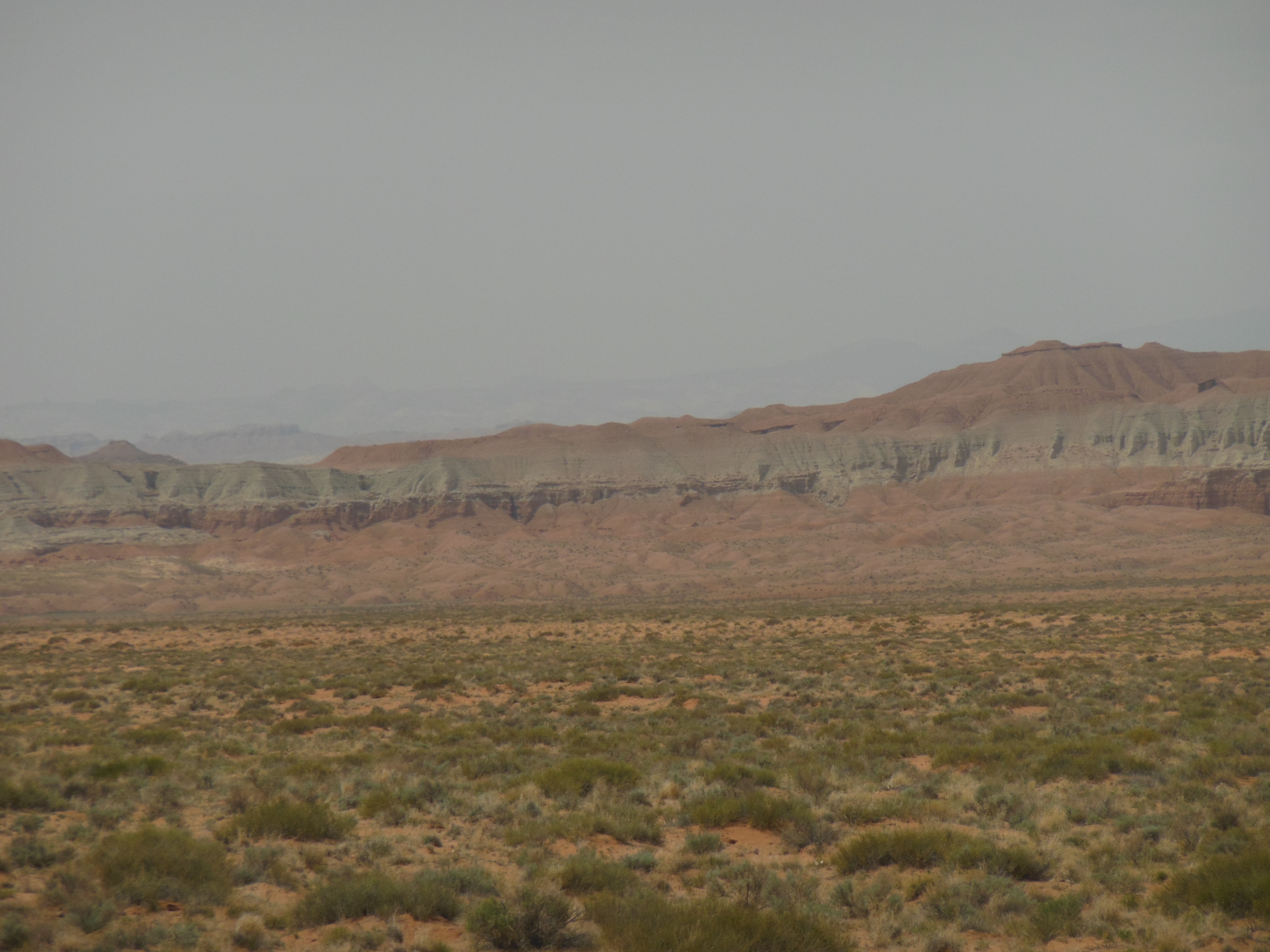
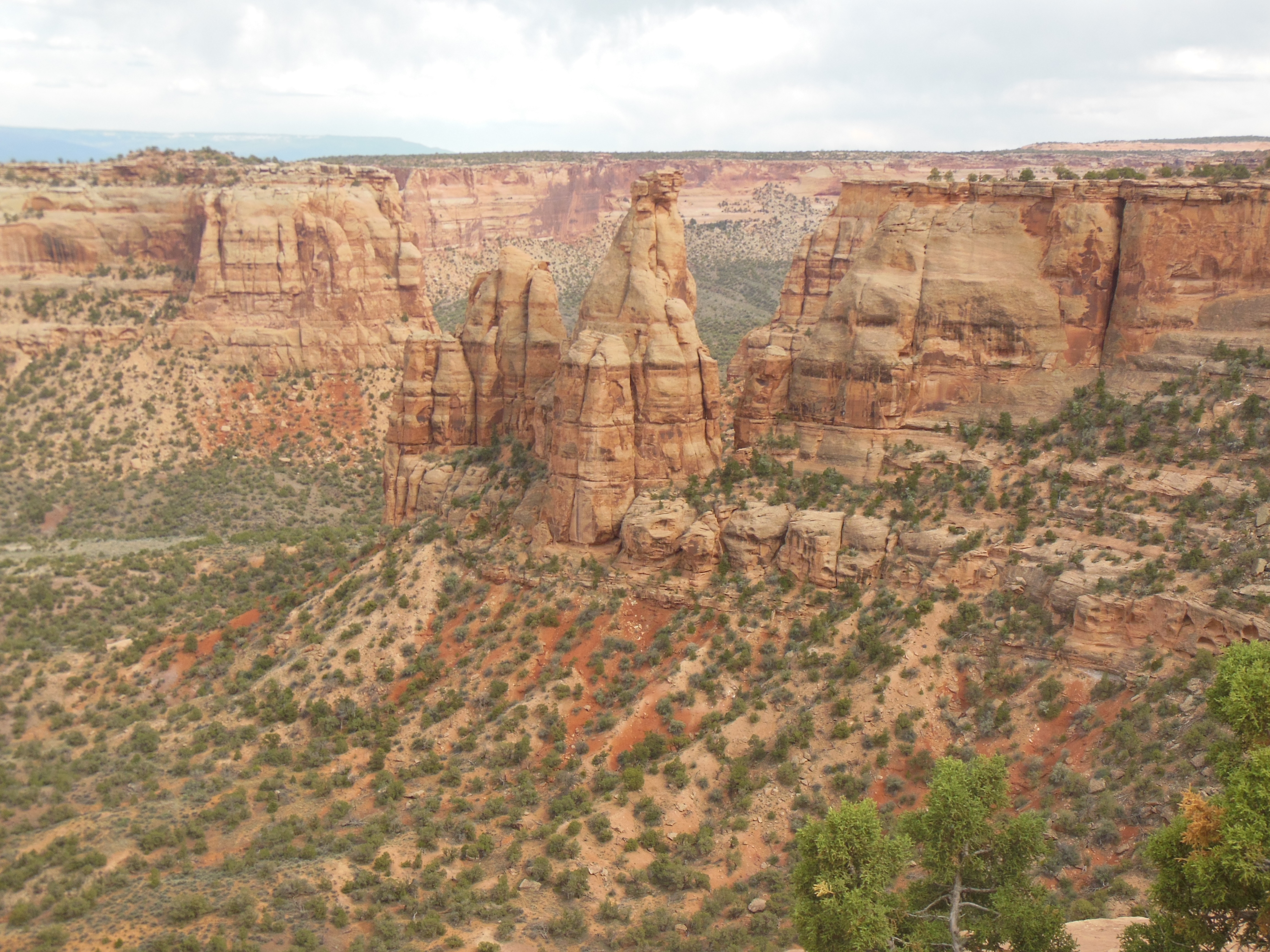
Red Rock canyon
Monday, May 13
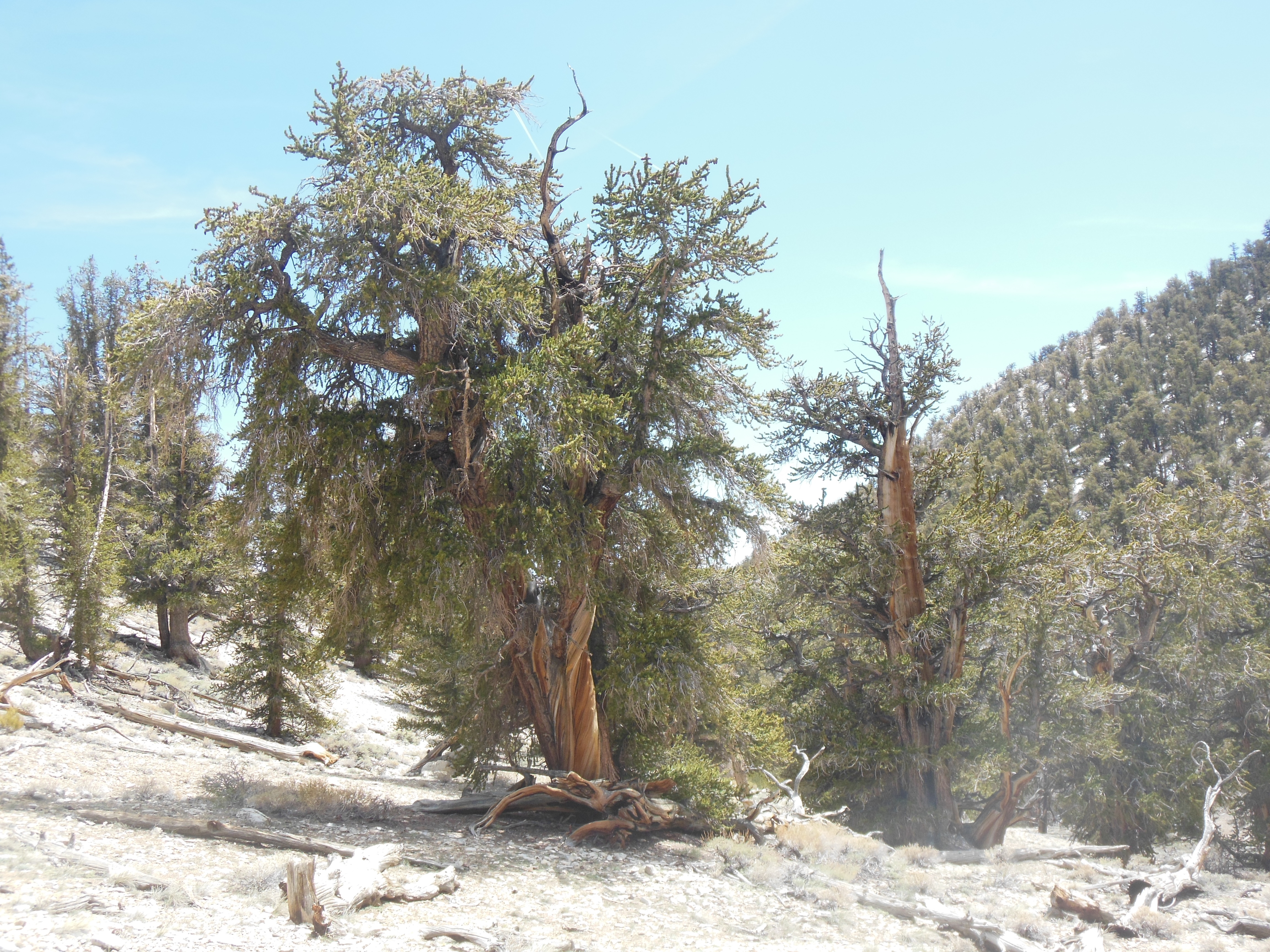
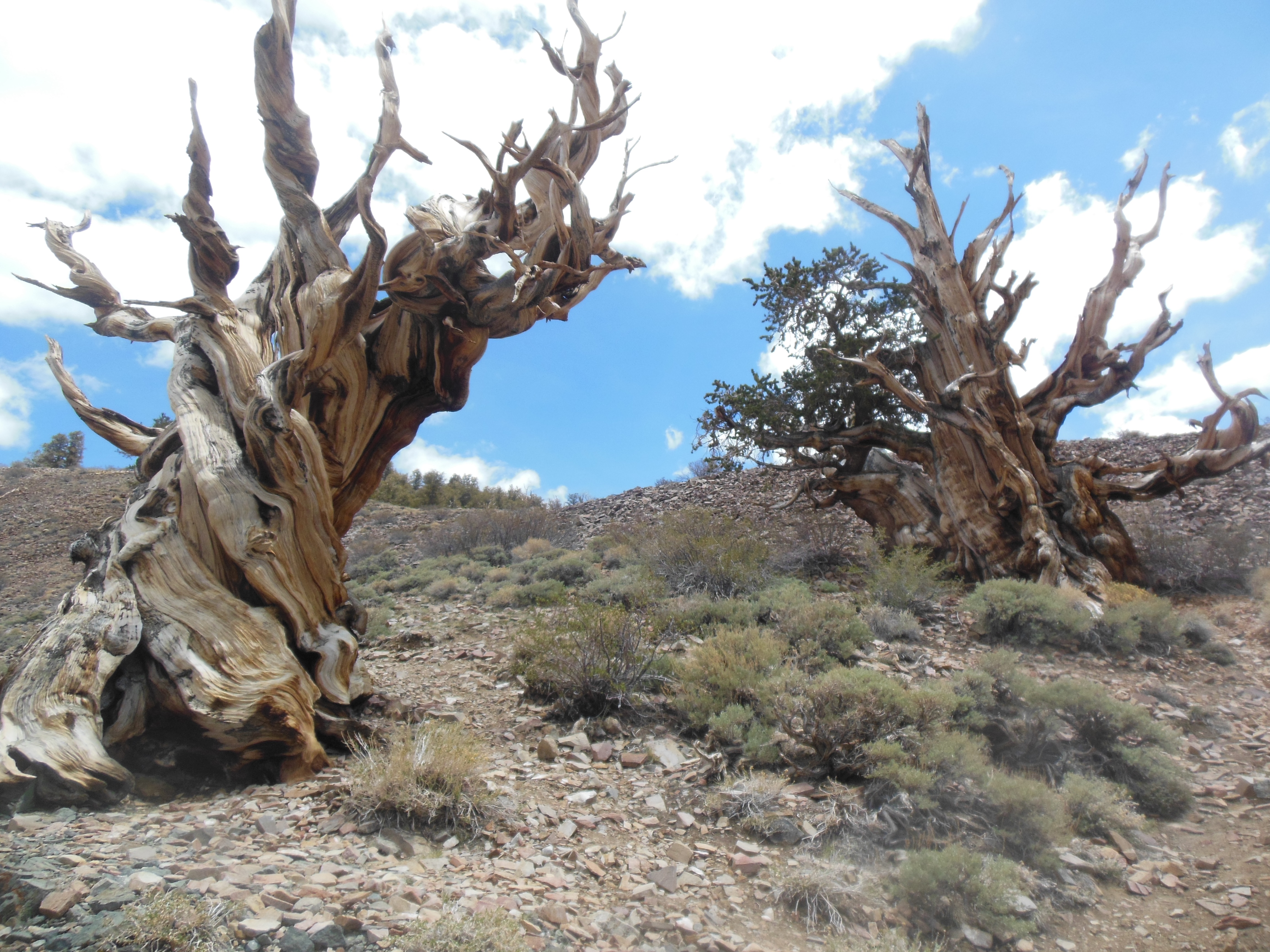
Monday was a transition day as we drove from the almost treeless east side of the Sierra Nevadas to the forested western side. Of course there are still rocks. Indeed, as we drove south, we came across the Red Rock Canyon State Park (CA version, not the NV one by Las Vegas.) Interesting formations but not a large formation.

farming. Fruit or nuts, drove too fast to notice but did see oranges laying on the ground frequently
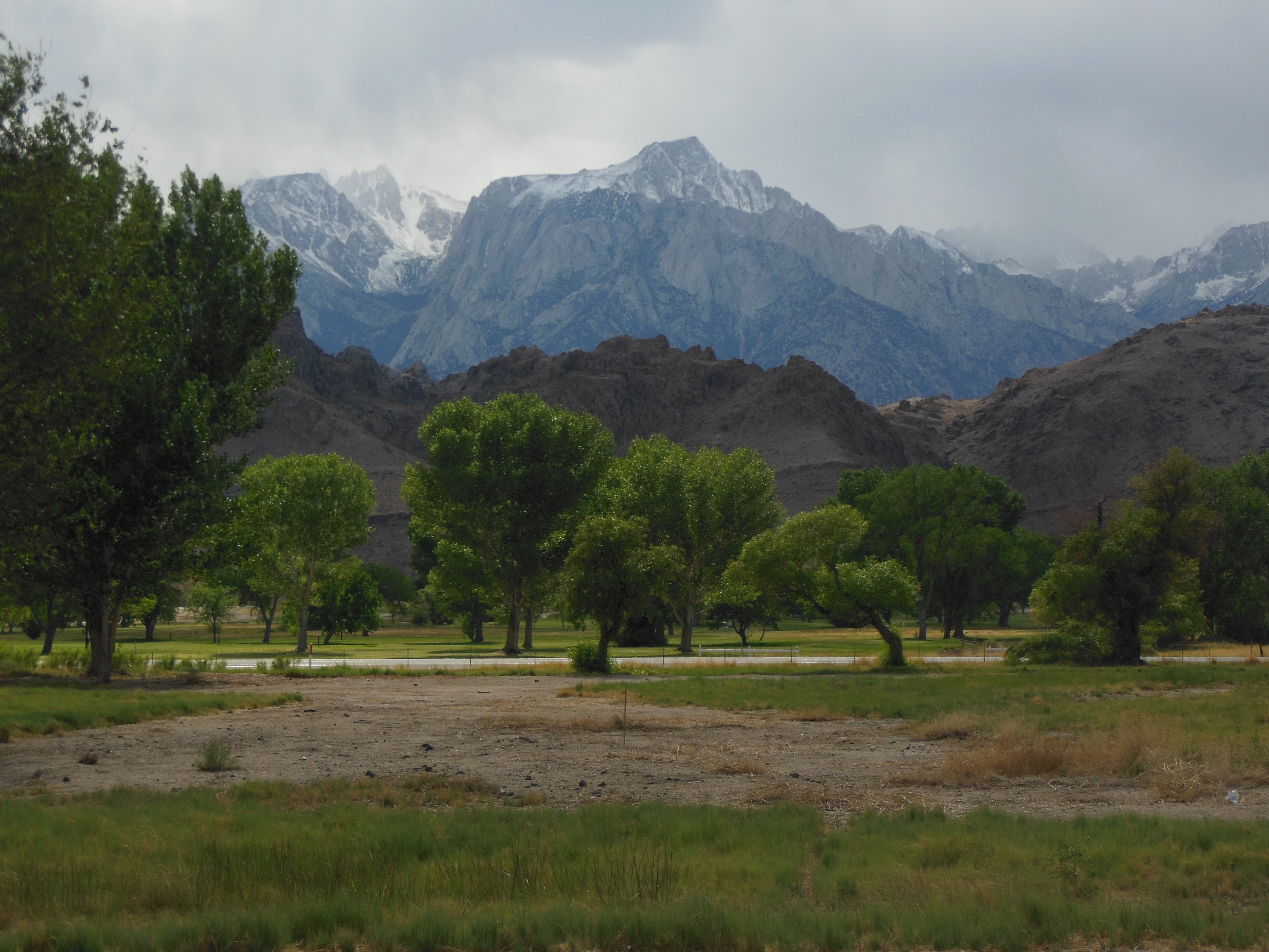
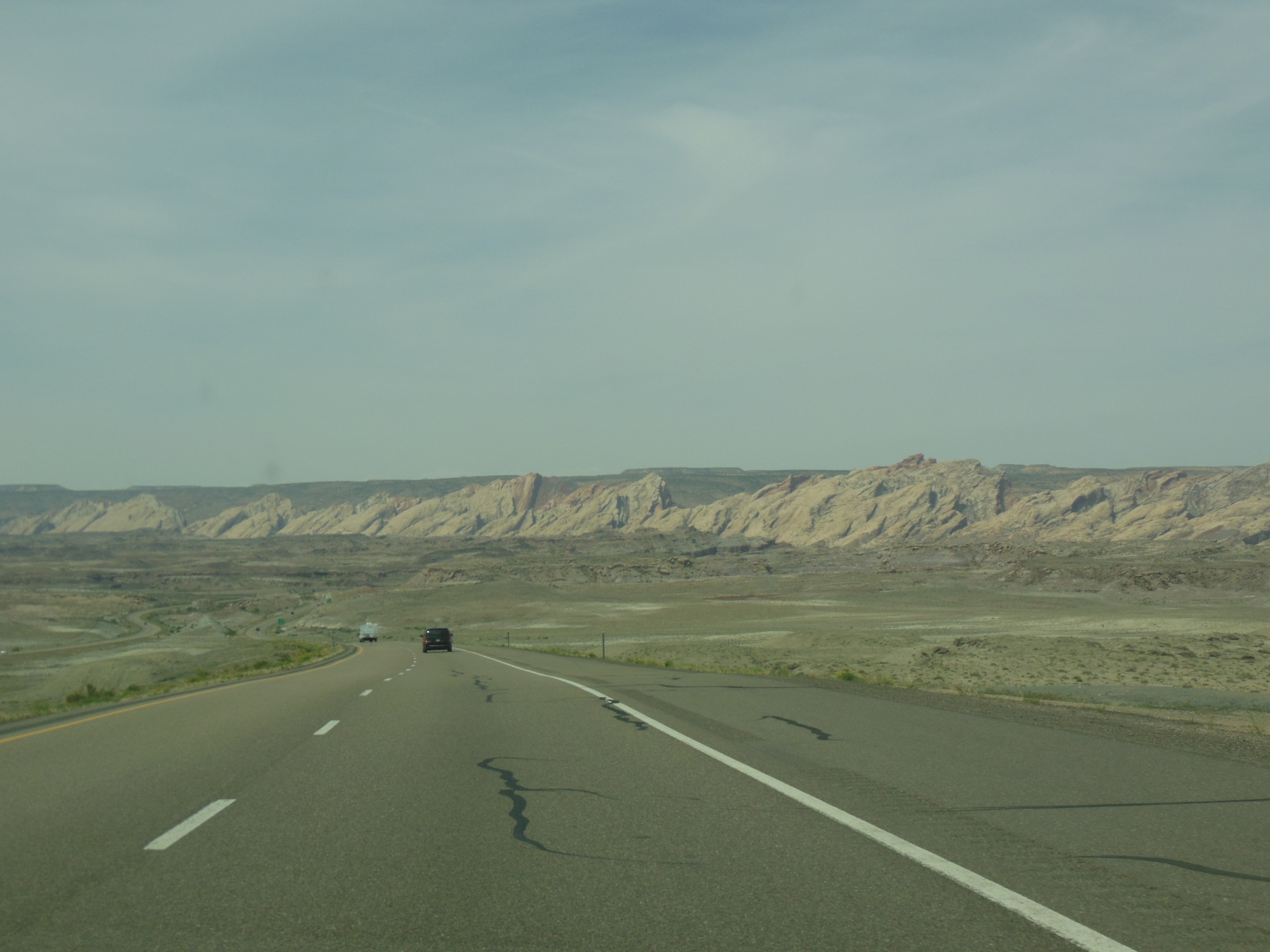
We gained in air pollution, fruit and nut farms, and oil pumping as we went around the south side of the mountains and made our way up the San Joaquin valley. This valley is heavily irrigated and is a major agricultural producer in the country. We stopped at a local fruit and nut farm stand and picked up a few samples. The manager threw in a bag of navel oranges-which we knew we would not finish so we gave them to the chef at the lodge.
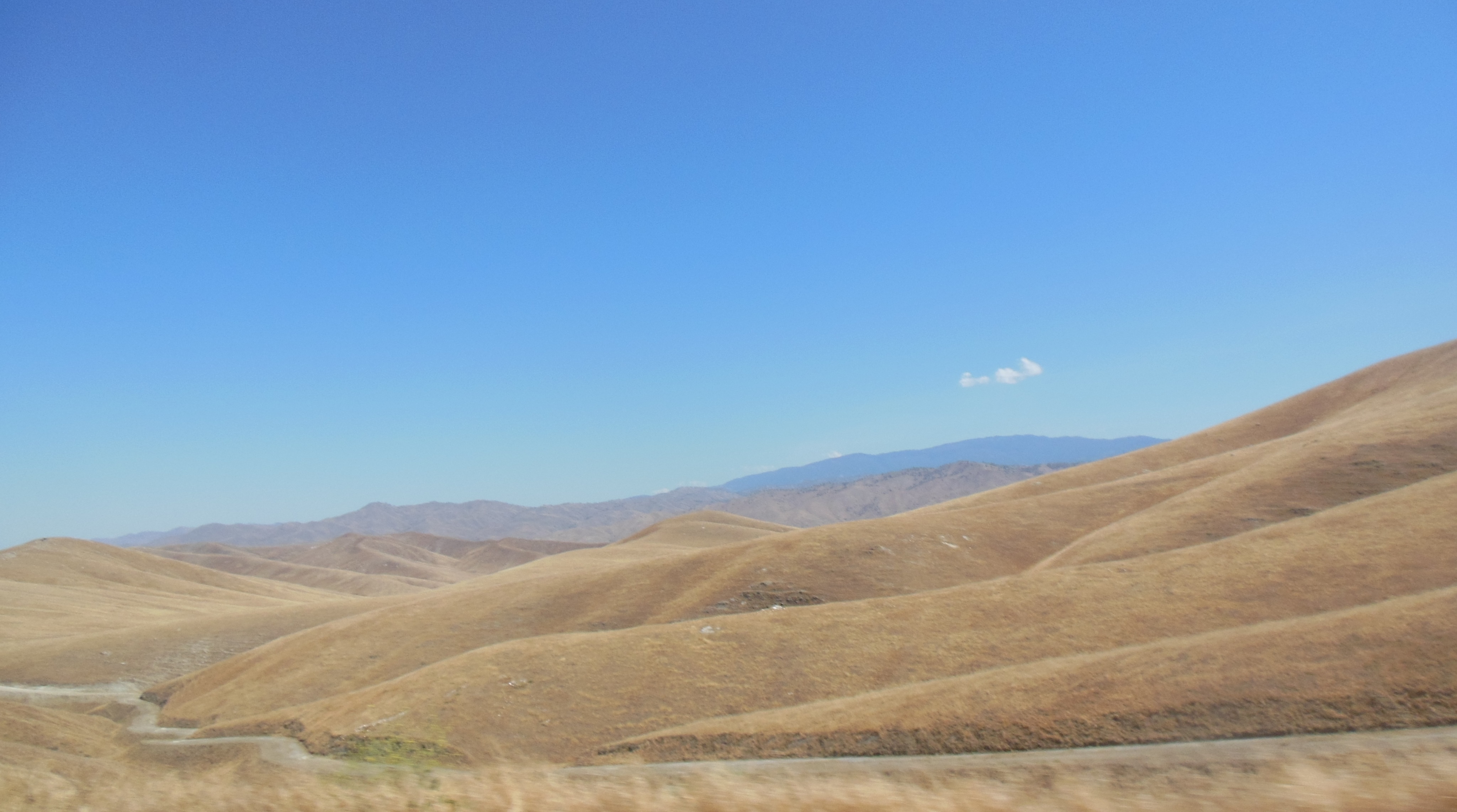
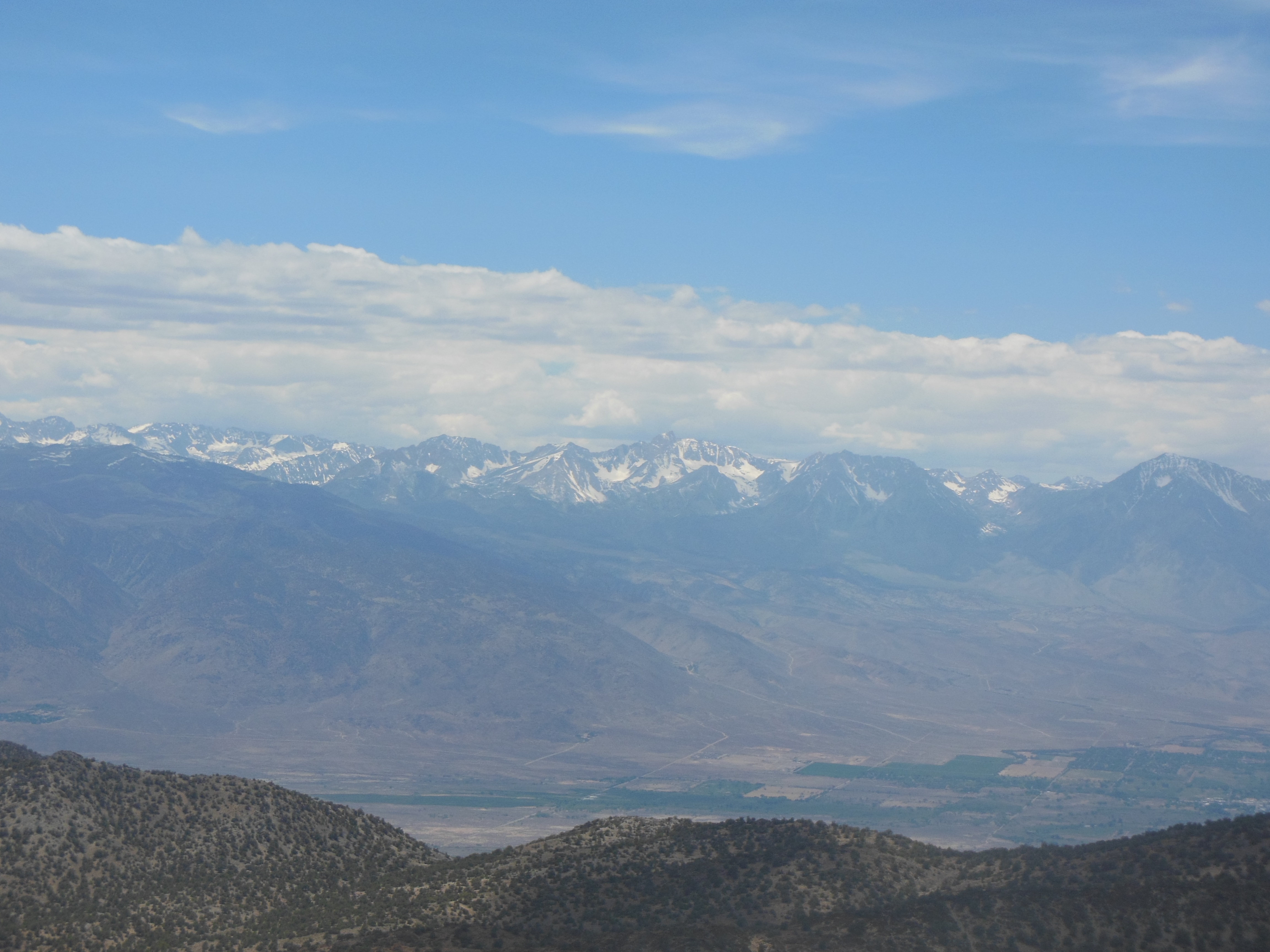
Going up the valley before the parks
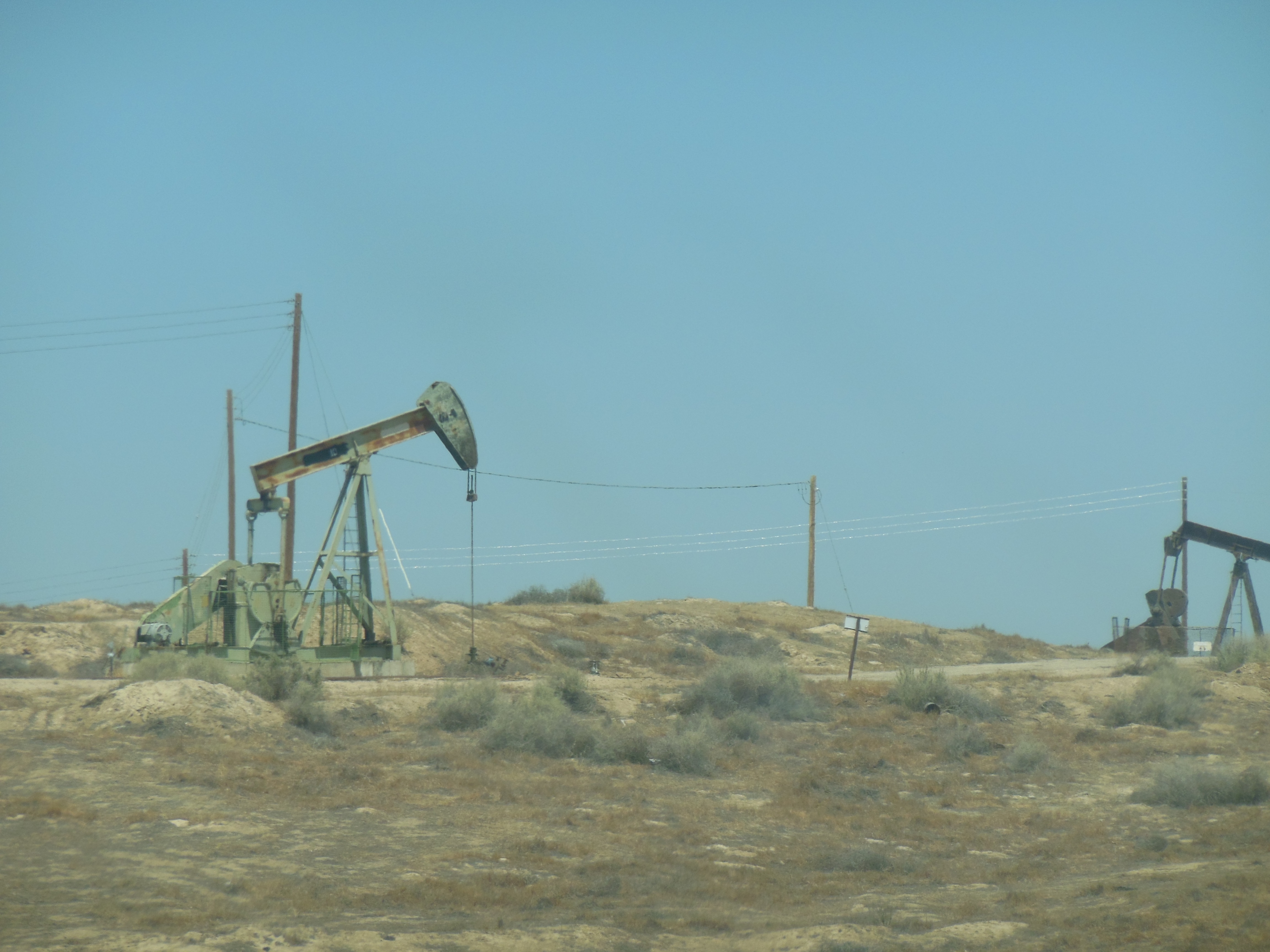
oil pumping
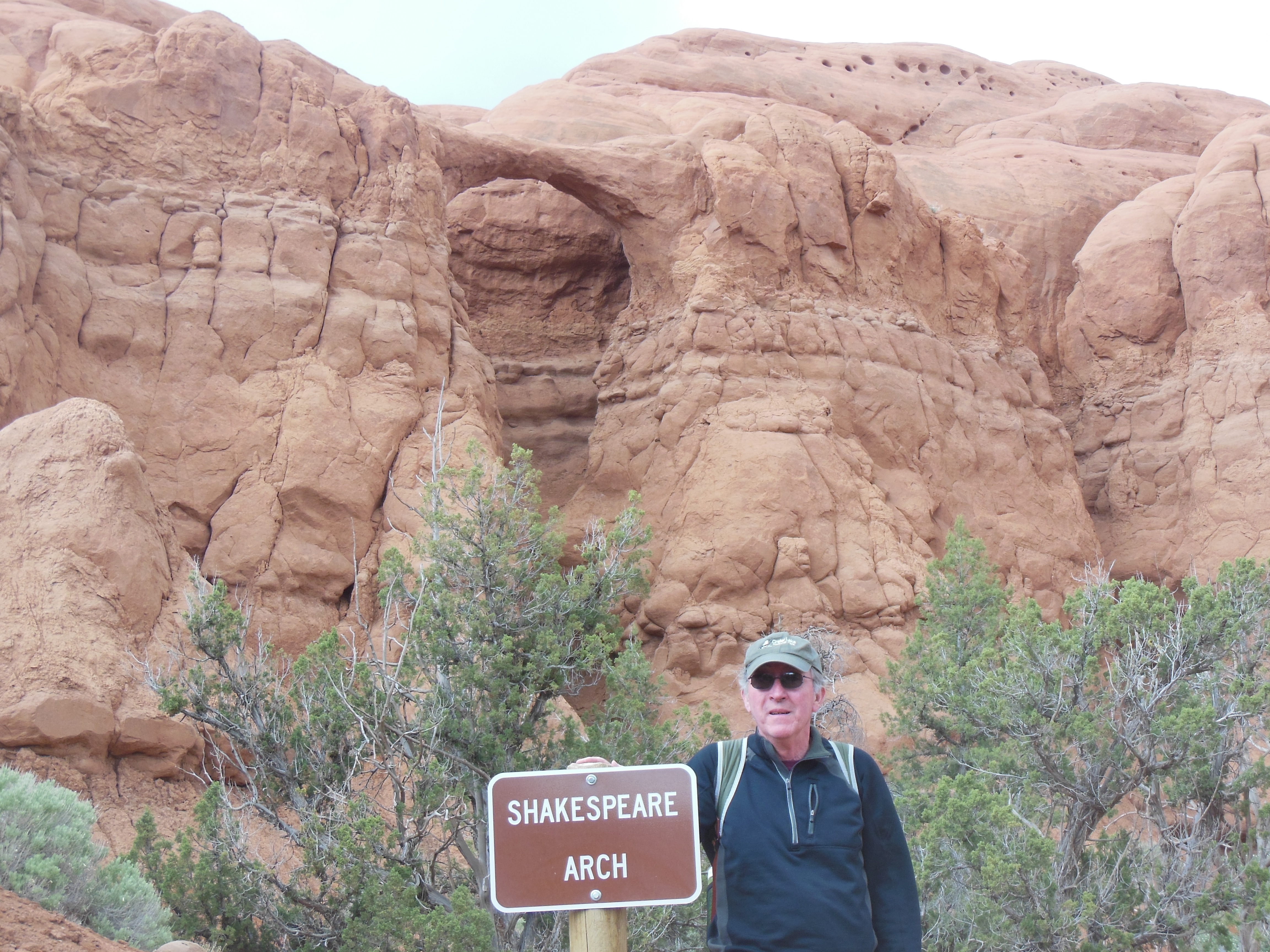
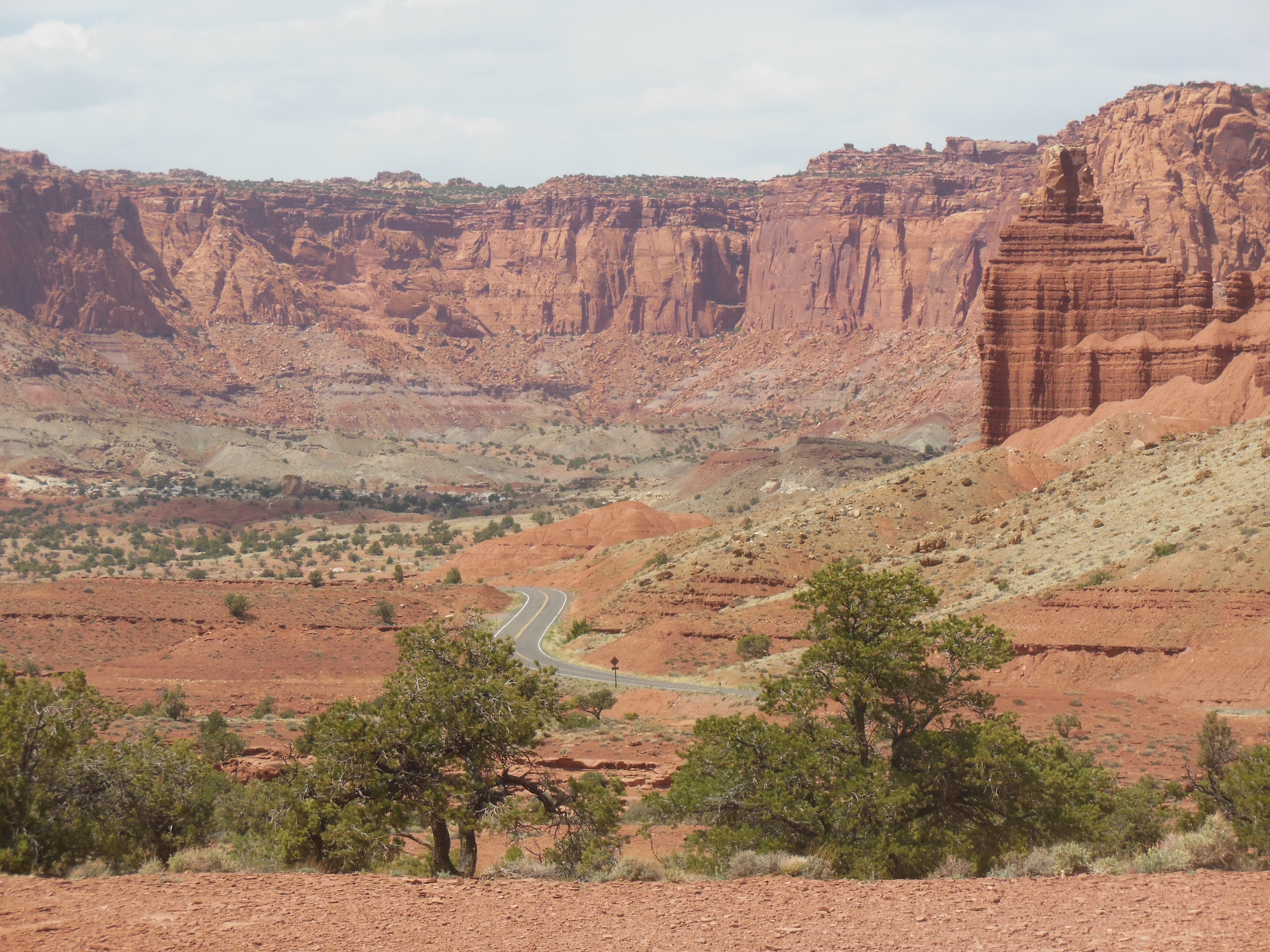
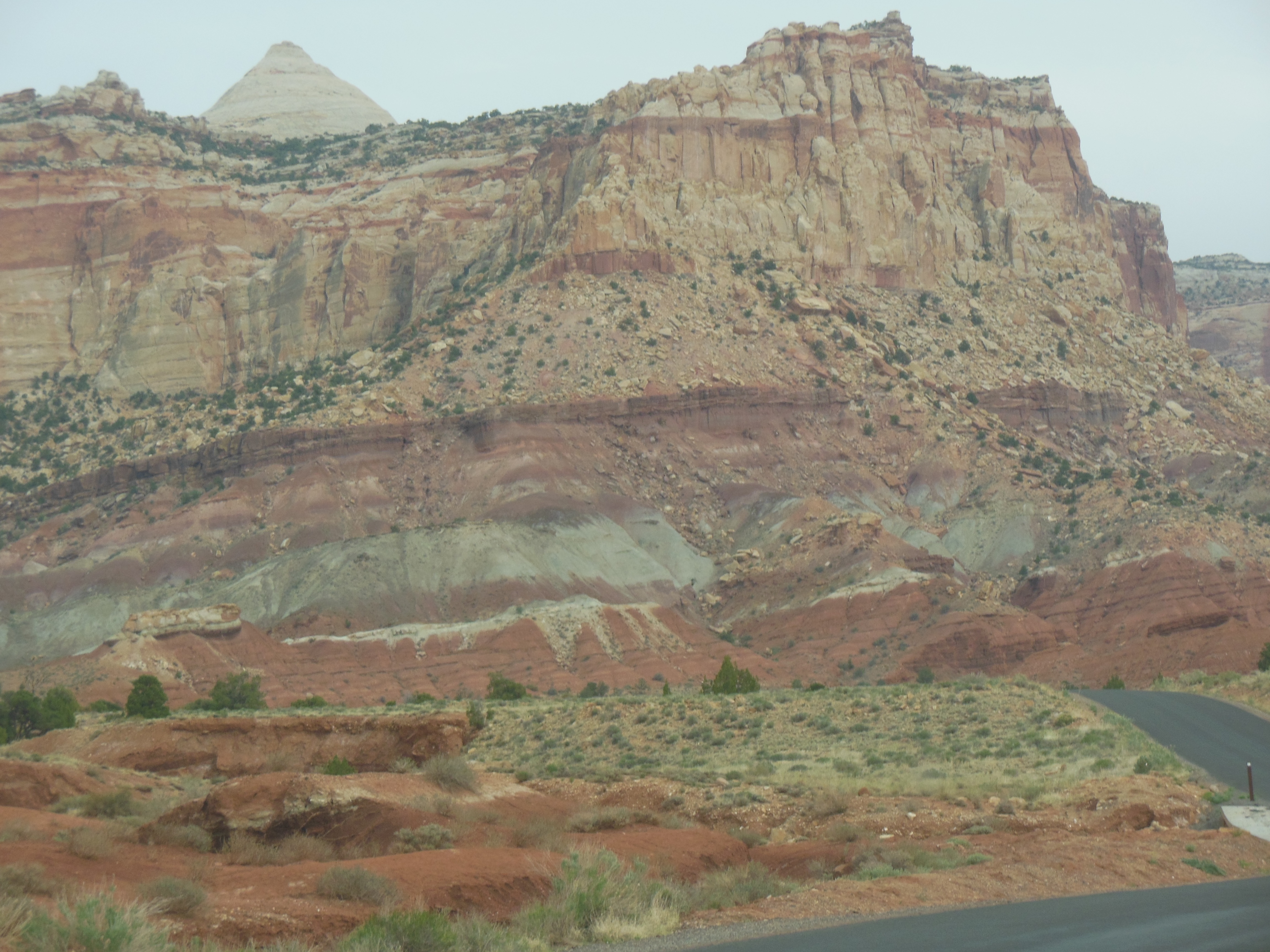
We had made a conscious decision to have today’s trip be an easier drive. We passed up a turn off to go through the Sierra Nevada Mtns around Red Rock Canyon and we decided to enter Kings Canyon-Sequoia from the north which avoided the more curvy road with constuction if we entered from the south.
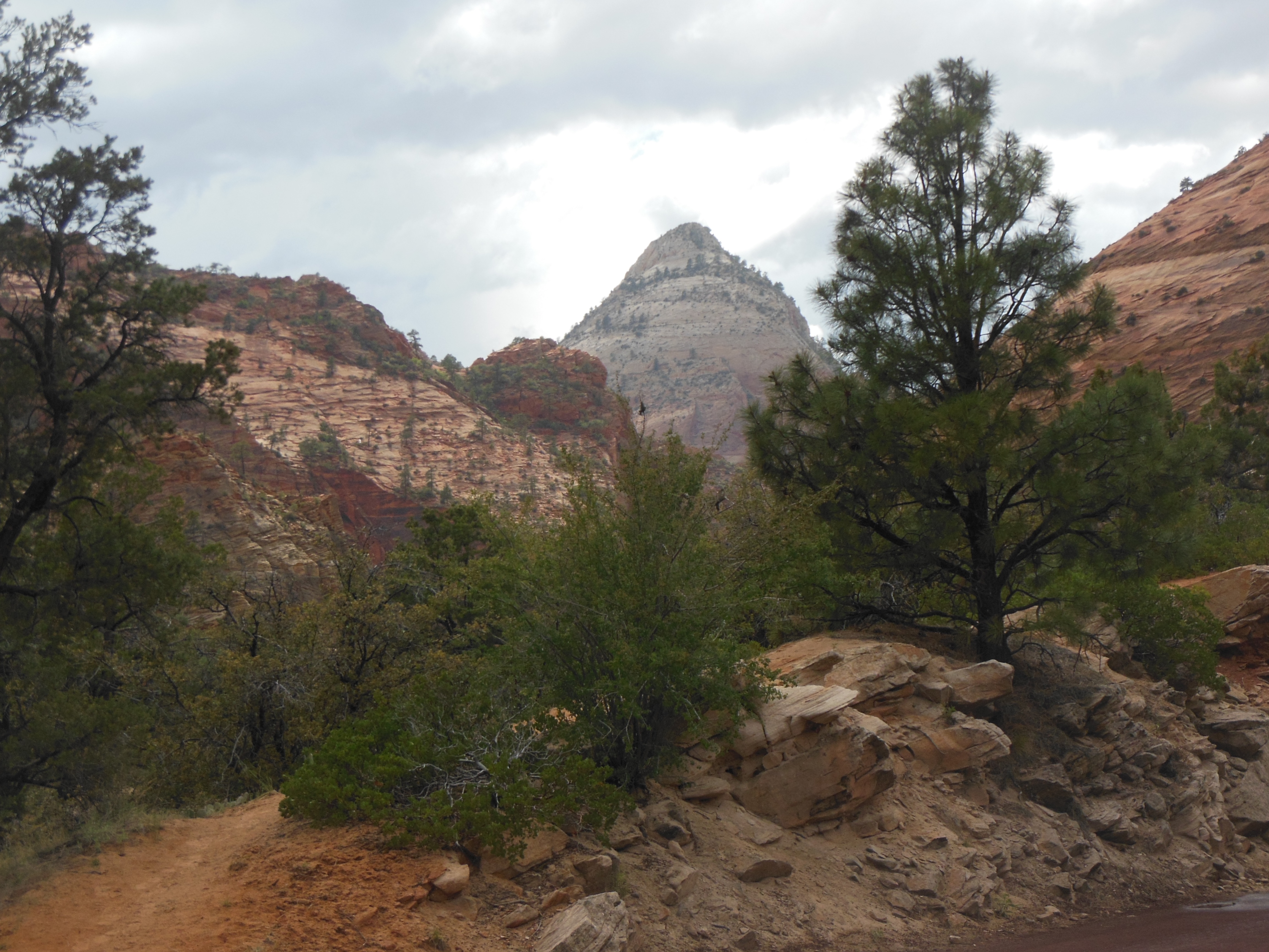
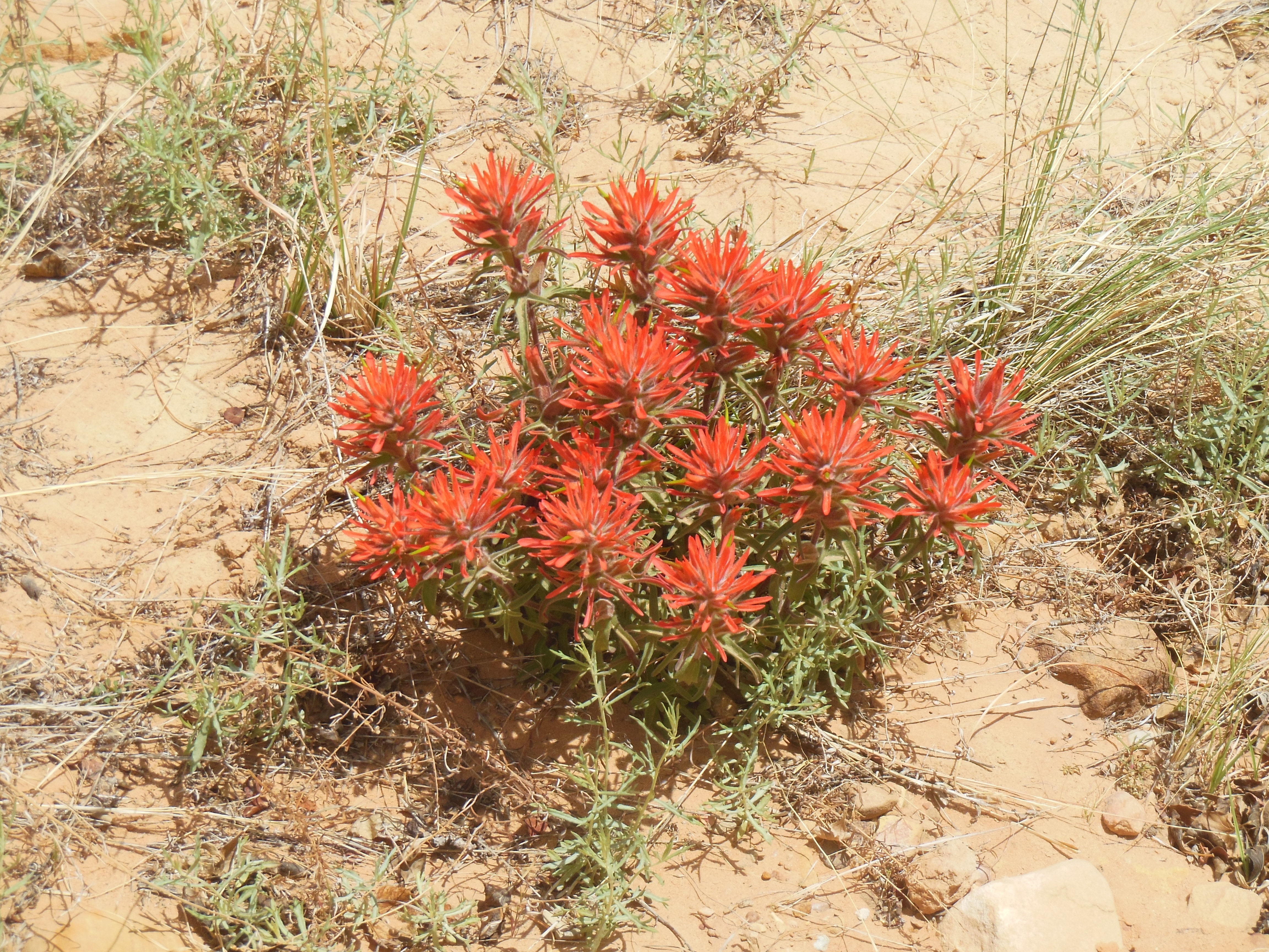
The Sierra Nevada range is much more eroded, sloping and forested on the west side than the eastern side. They are much more impressive from the east. We are glad we made that choice in our travel planning. Now that we have seen rocks and rocks and rocks from New Mexico, Utah, Nevada, and part of California, the forests are a welcome change. The coolness and pine smell are a joy.
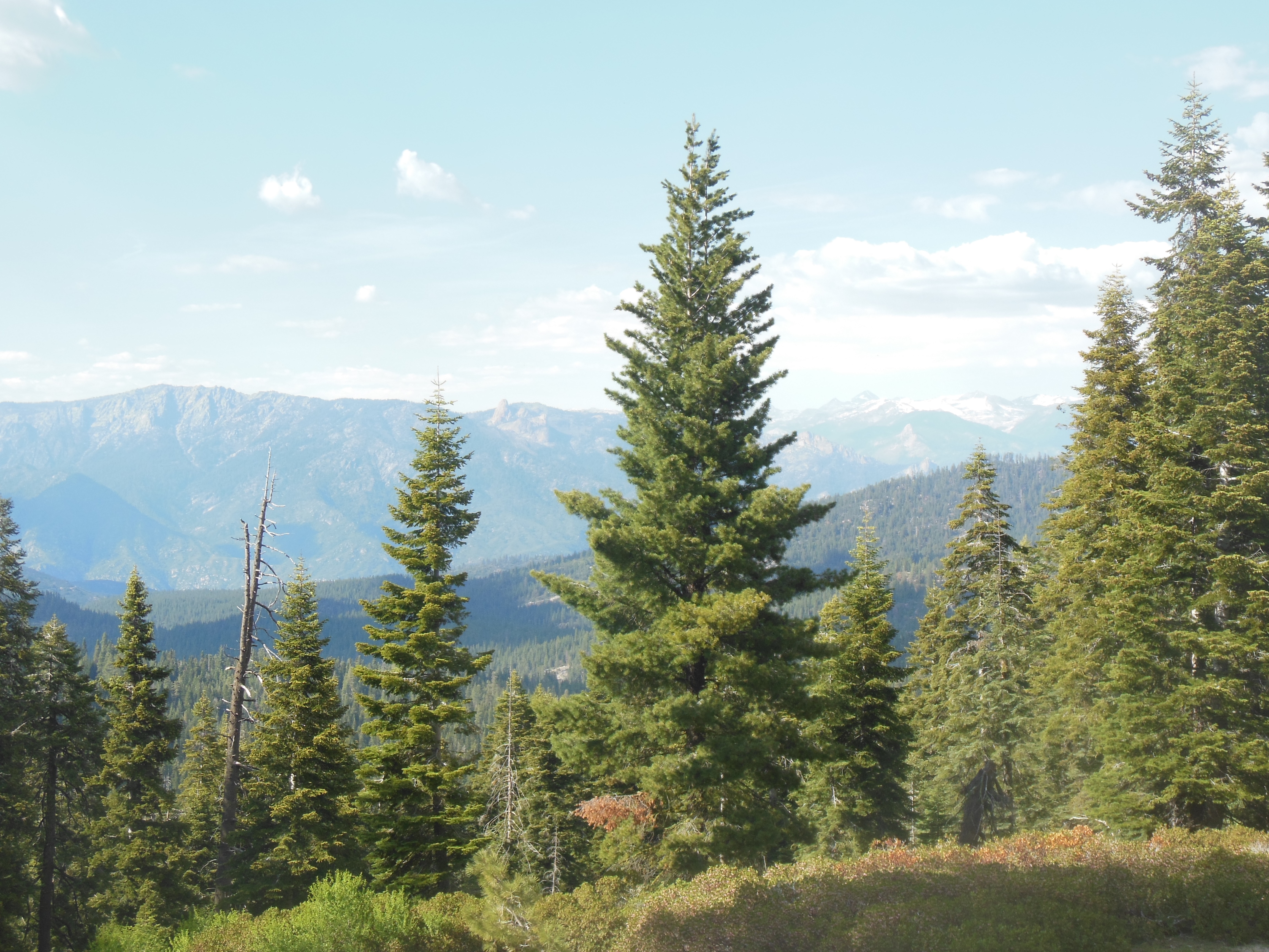
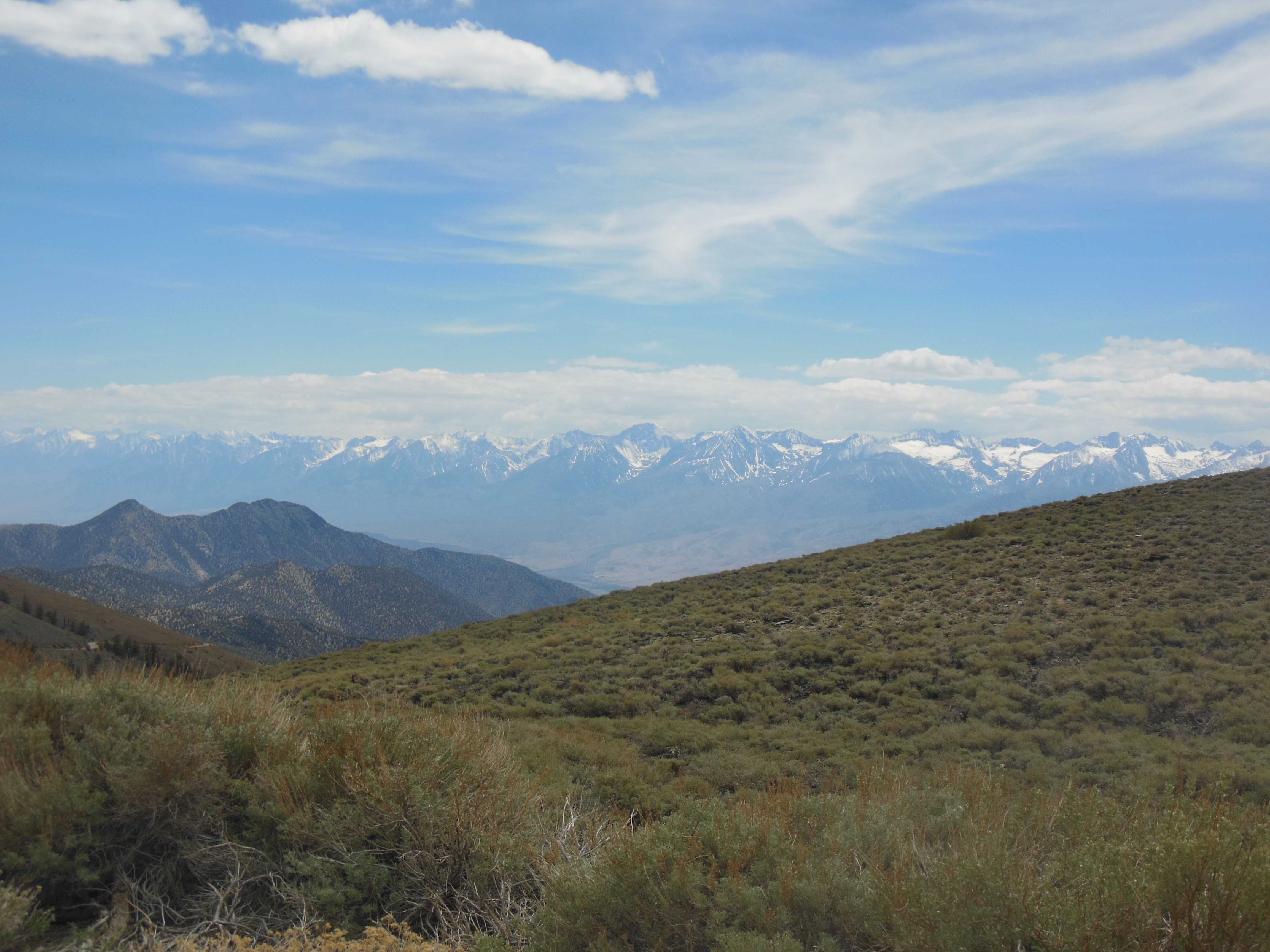
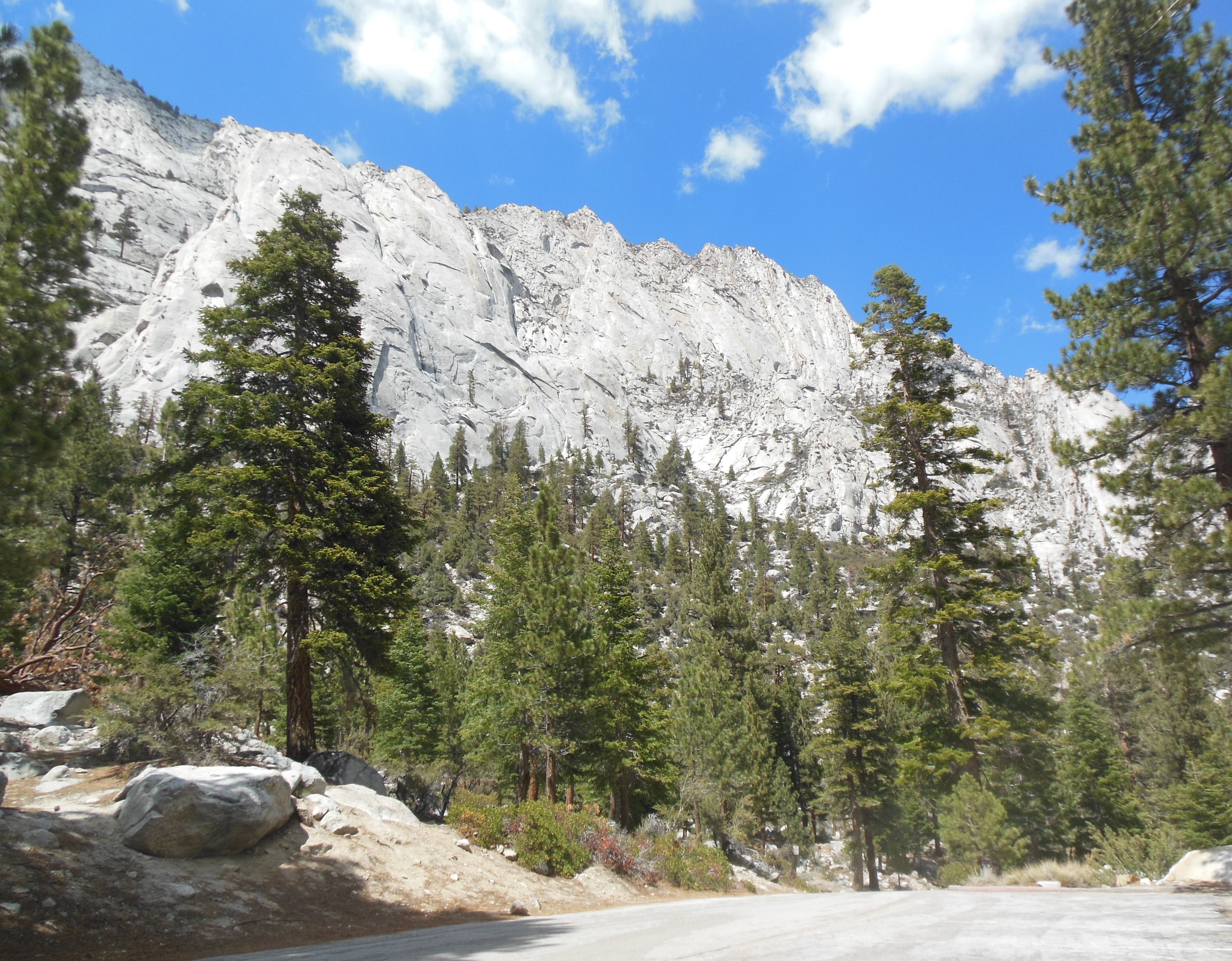
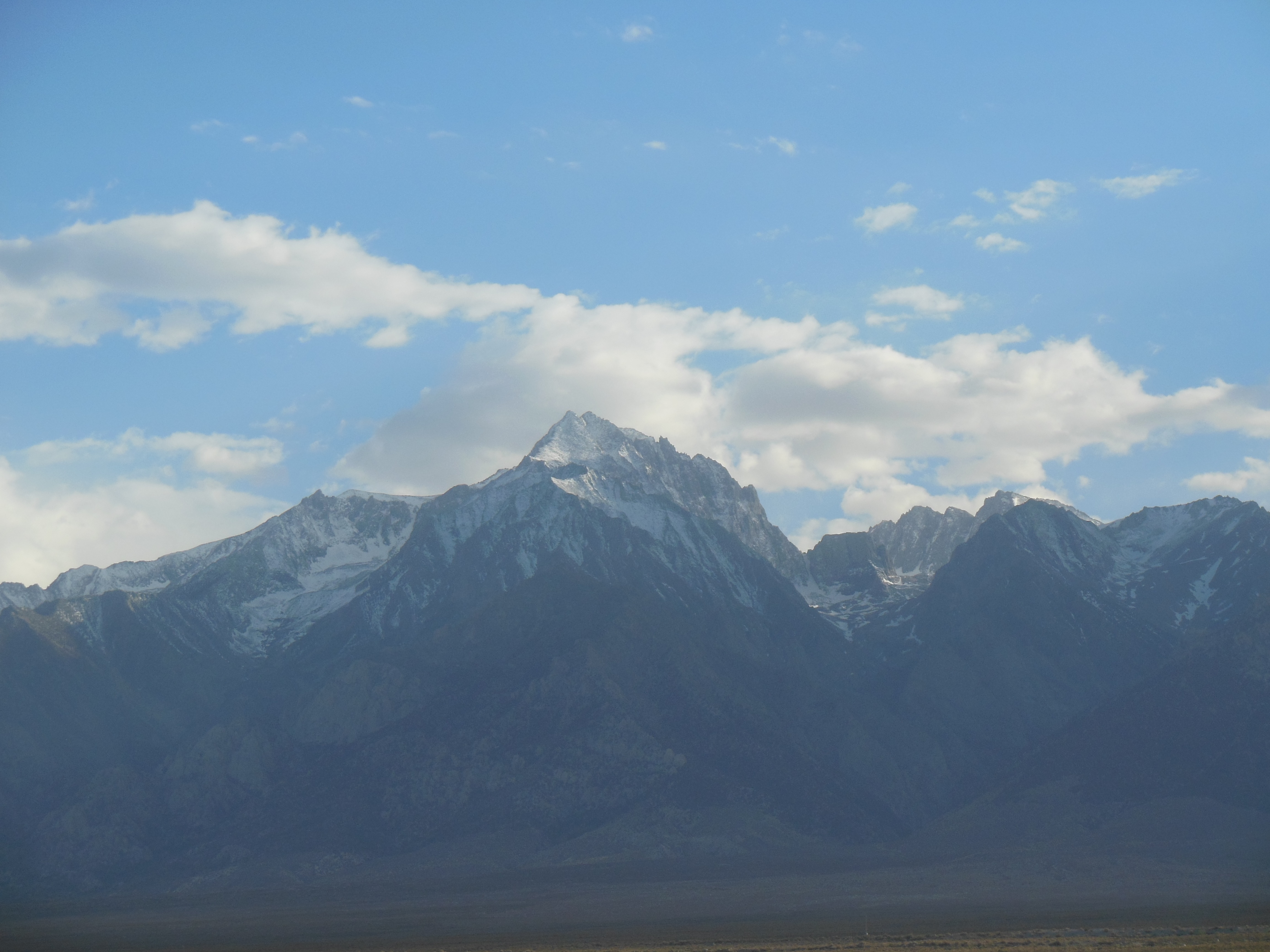
western side of Sierra Nevada Mtns as we head for the lodge
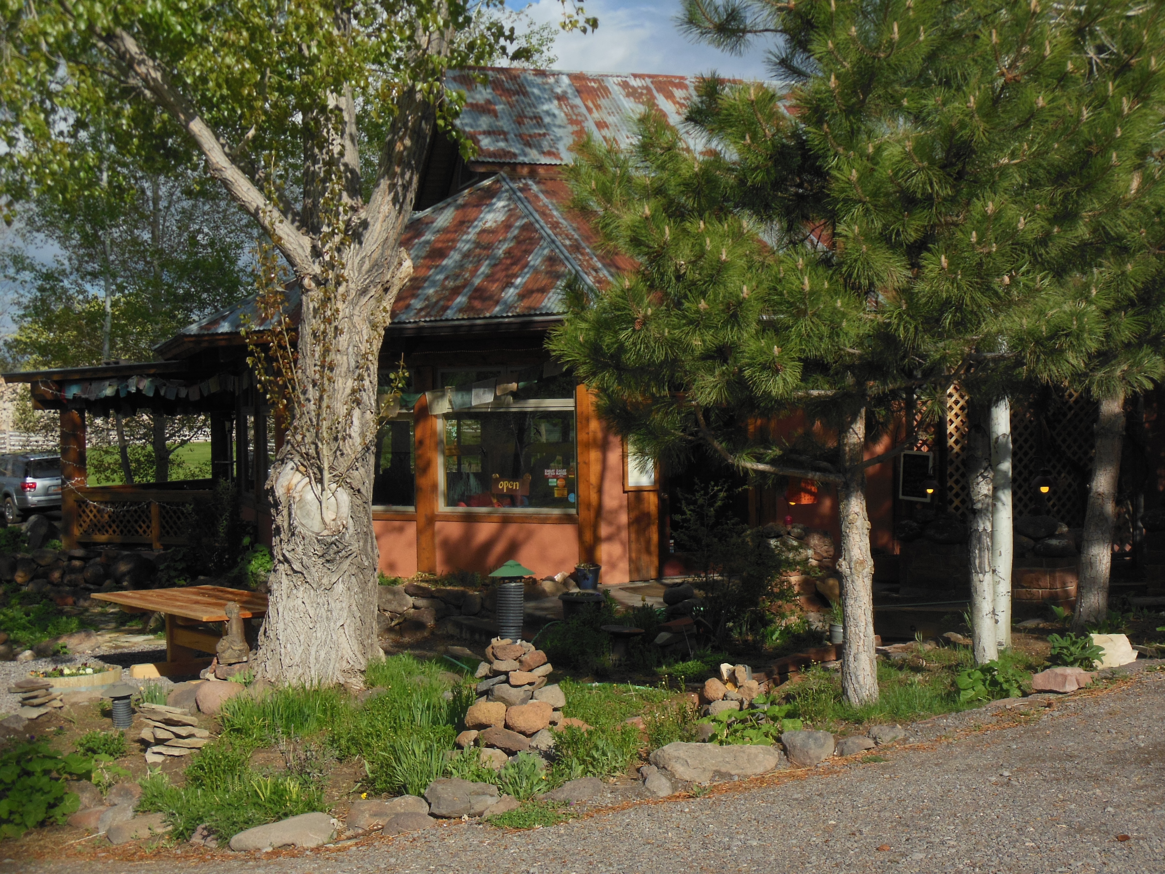
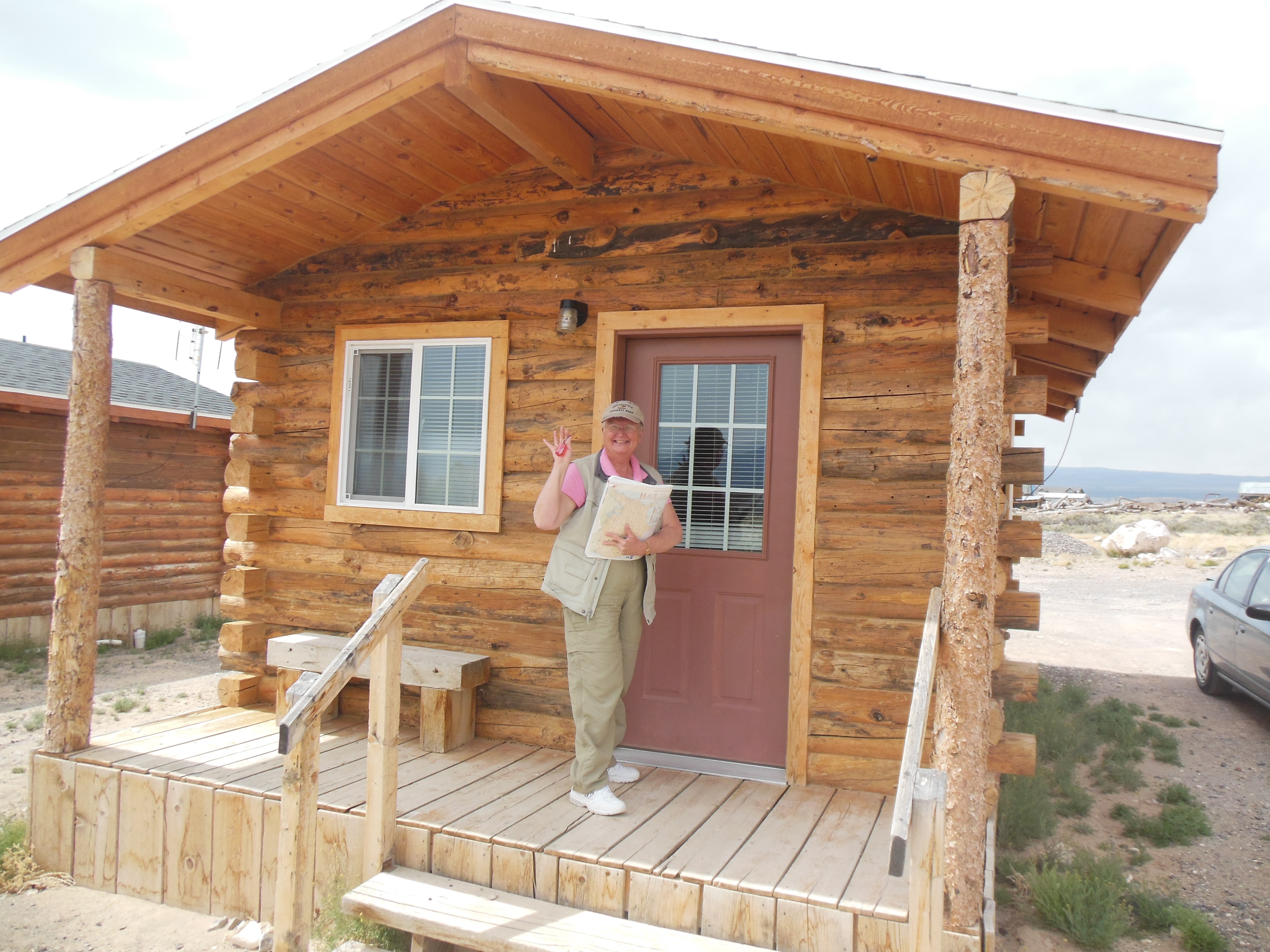
There are not a lot of lodging choices here. Our place can be described as plain, basic, and economical. It reminds us of the old time lodges in northern Minnesota before they began upscaling.
Three meals are provided, they have been very good. Buffet meals with plenty of vegetarian options and healthful fruit, etc. Even bacon for breakfast today (Wed.) (And unlimited milk.)They make a bag lunch to take with us as we hike and drive the two parks. Actually it is two parks and a forest. The Sequoia National Forest and the two parks are interweaved. Our lodging is in the forest.
Ed and Chris, Wed May 15 for Monday May 13th


Recent Comments