Editors note. This blog post was started on Thursday the 23rd while the 22nd was still languishing in non-Internet land and was eventually finished in Elko, Nevada on Friday night, the 24th. We decided to combine Thursday and Friday in one post.
Well I am typing this while the post for the previous day sits unfinished, waiting for pictures. Yosemite, Kings Canyon, etc have been grand but uploading pictures and trying to stay connected to the Internet while typing this has tried even my patience. Civilization here we come!
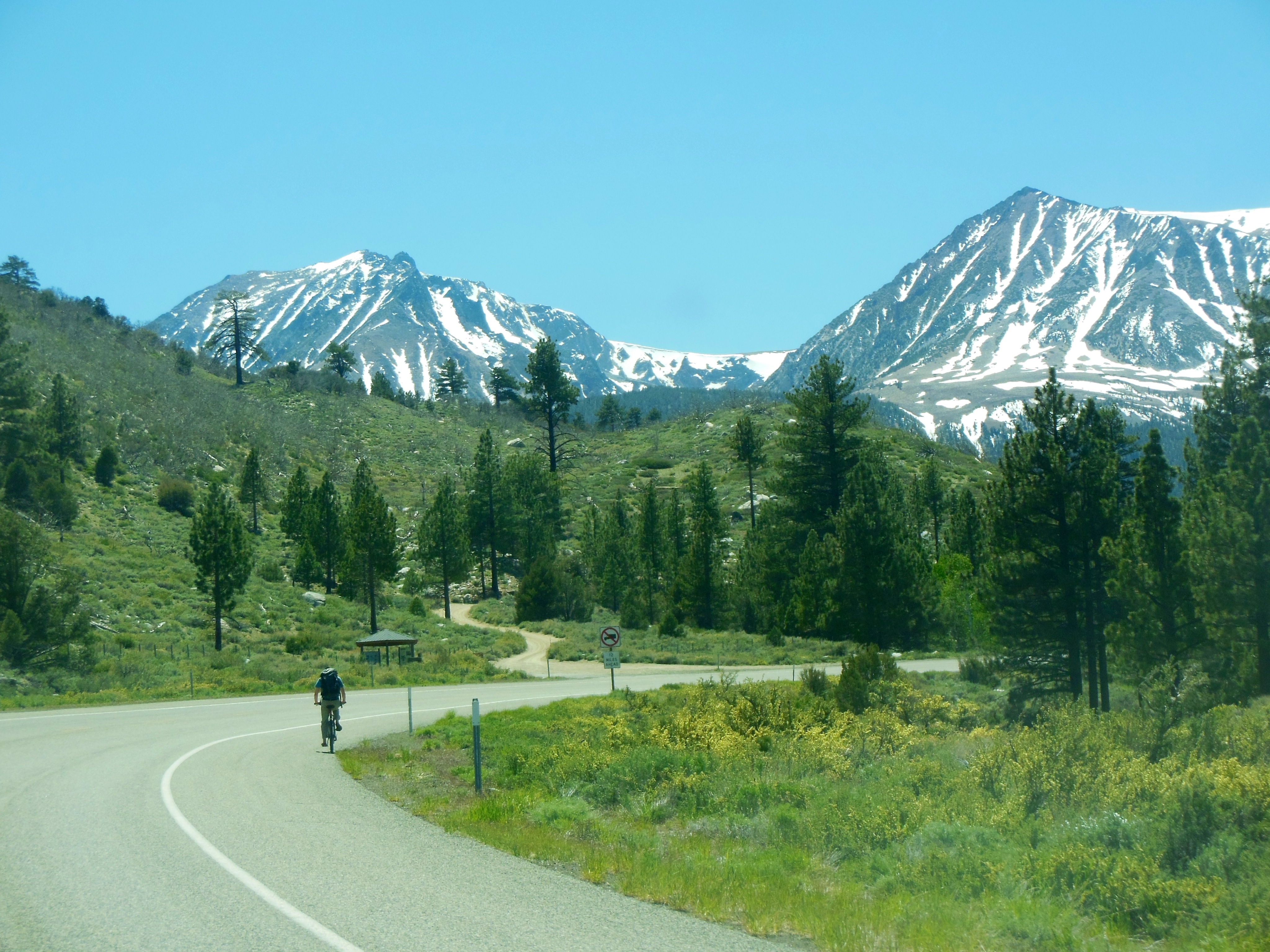
Thursday was our day to drive the Tioga Pass road. The Tioga Pass road is one of those roads going over the top of mountains. It is the only one for about 140 miles along the Sierras in this area. The road is usually open from about Memorial Day to early October, closed the rest of the year. Due to less snowfall this winter, it opened May 11.

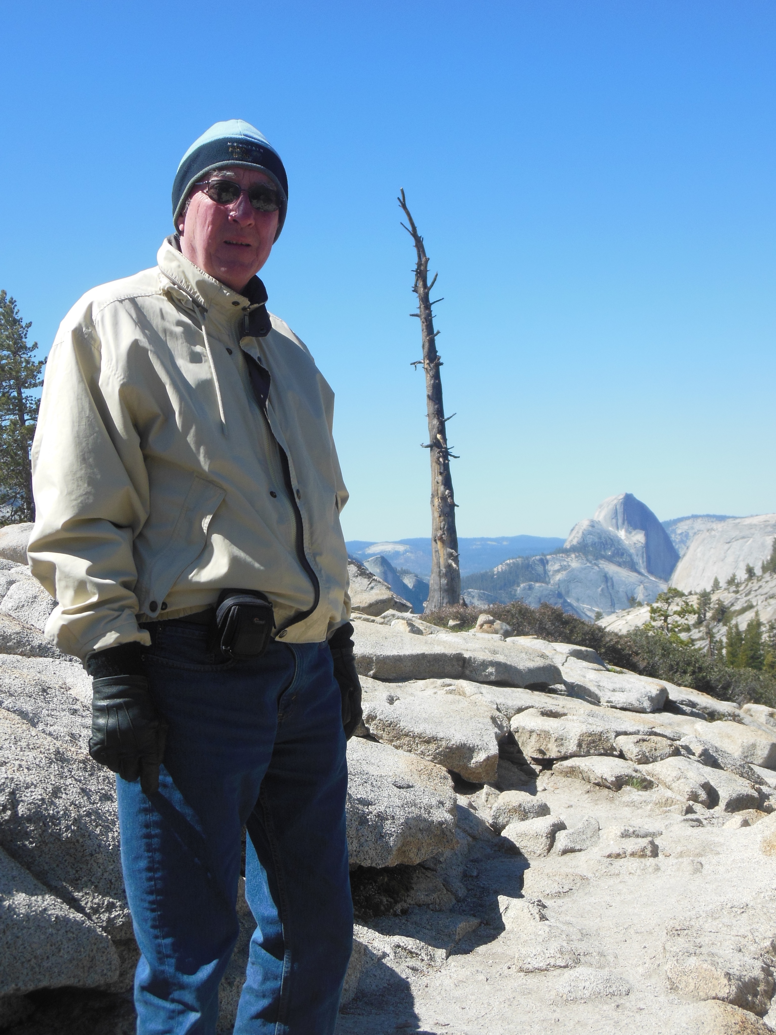
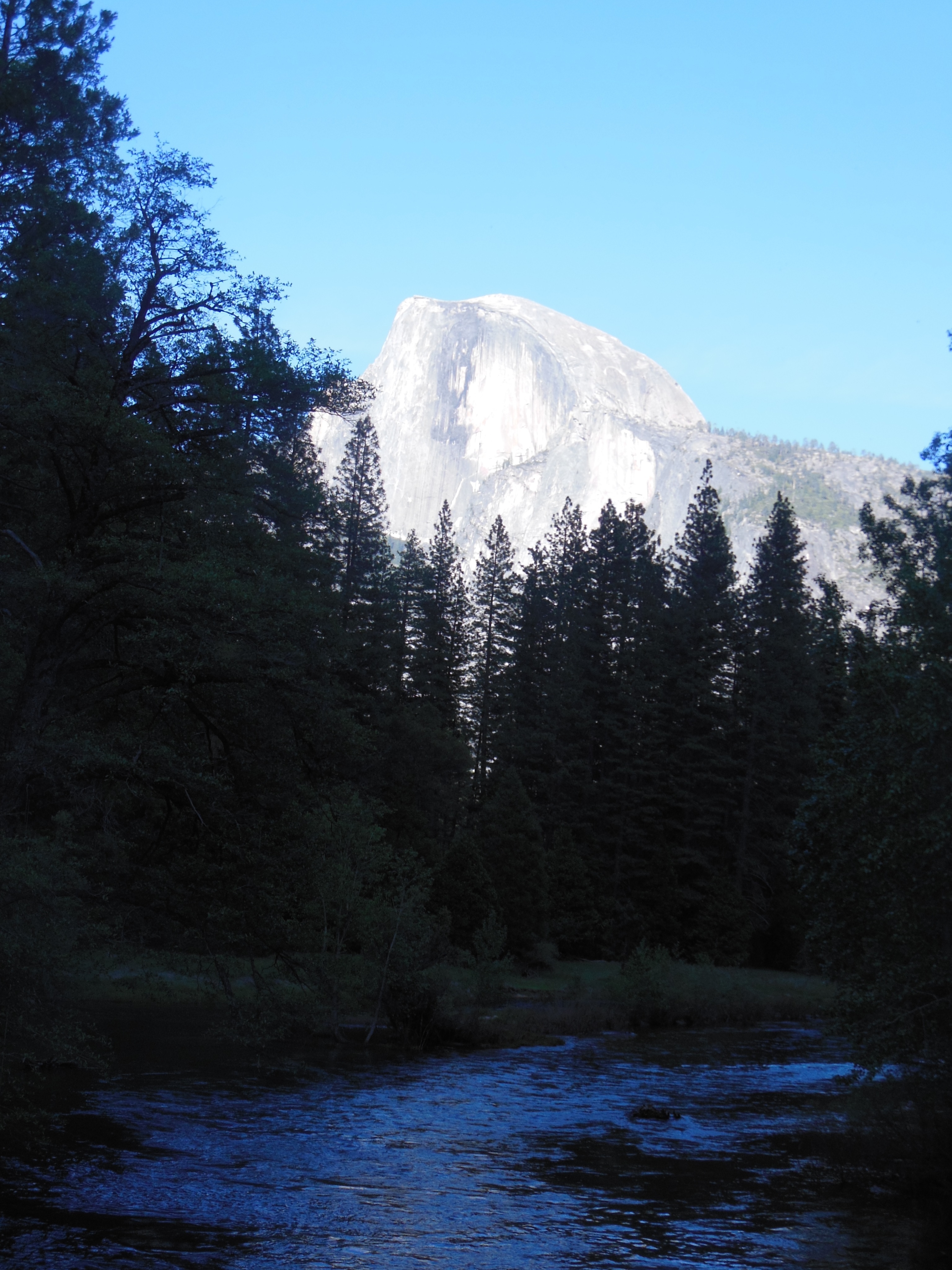
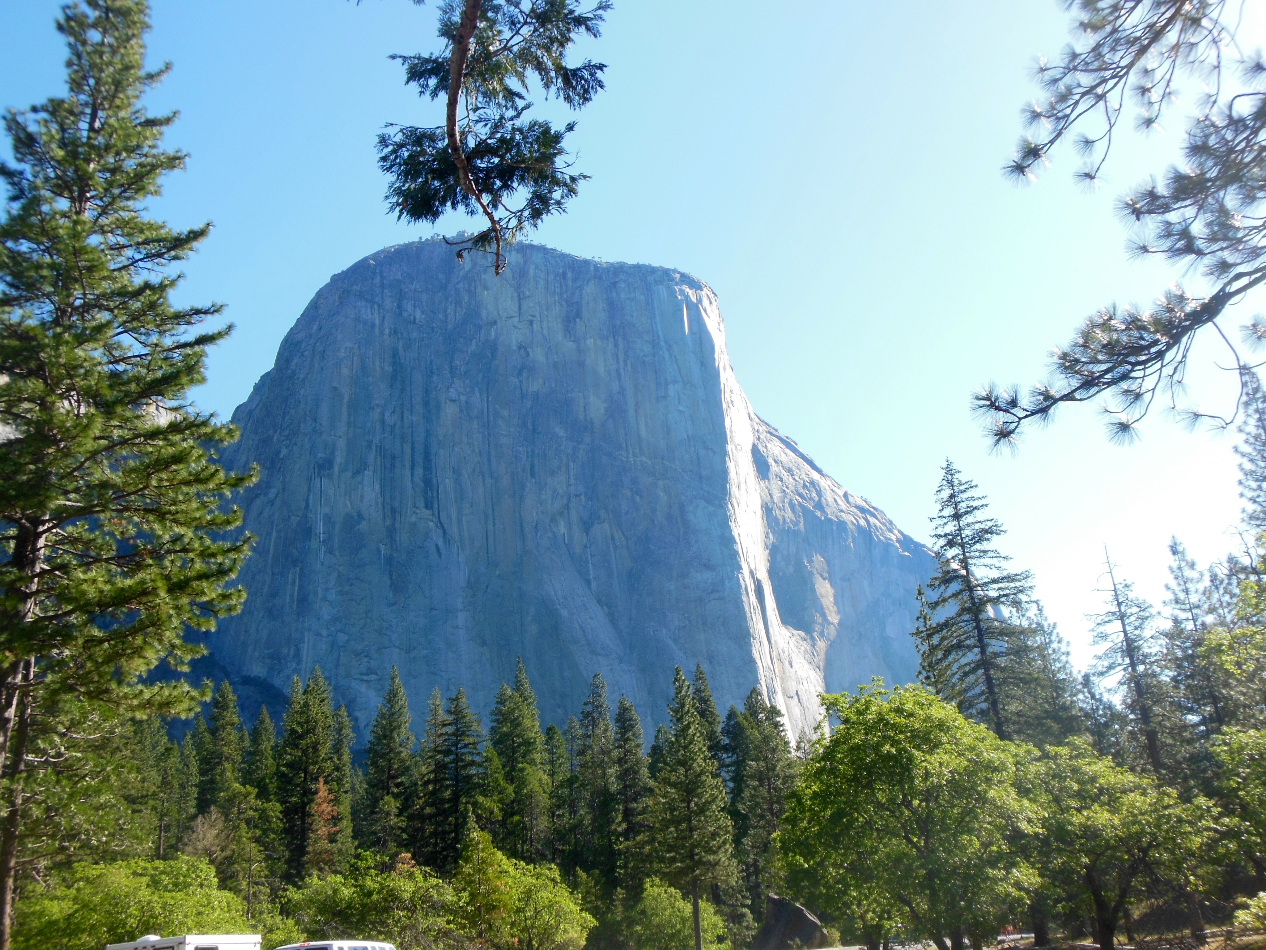
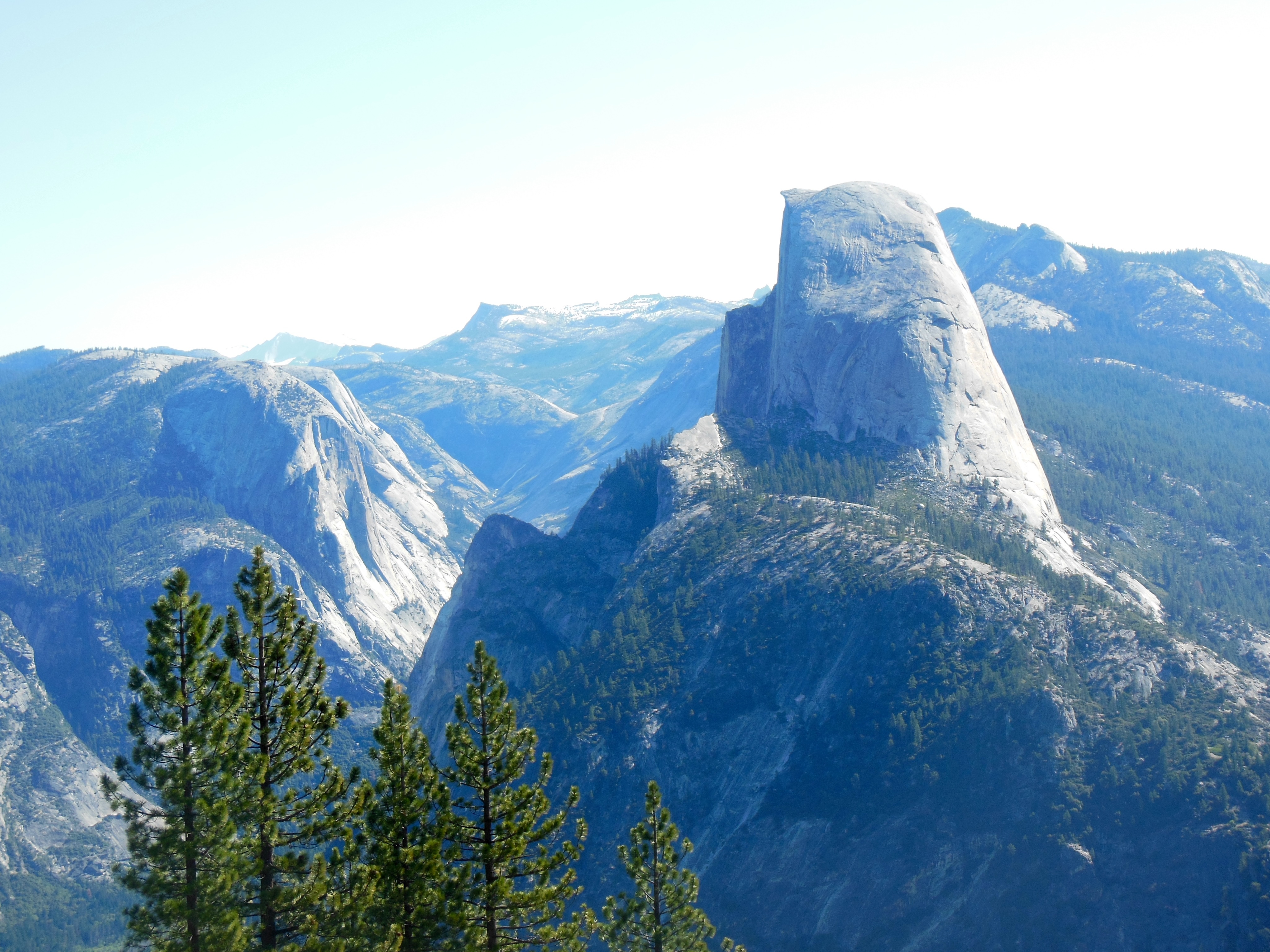
Ed at olmstead point, Half Done in background

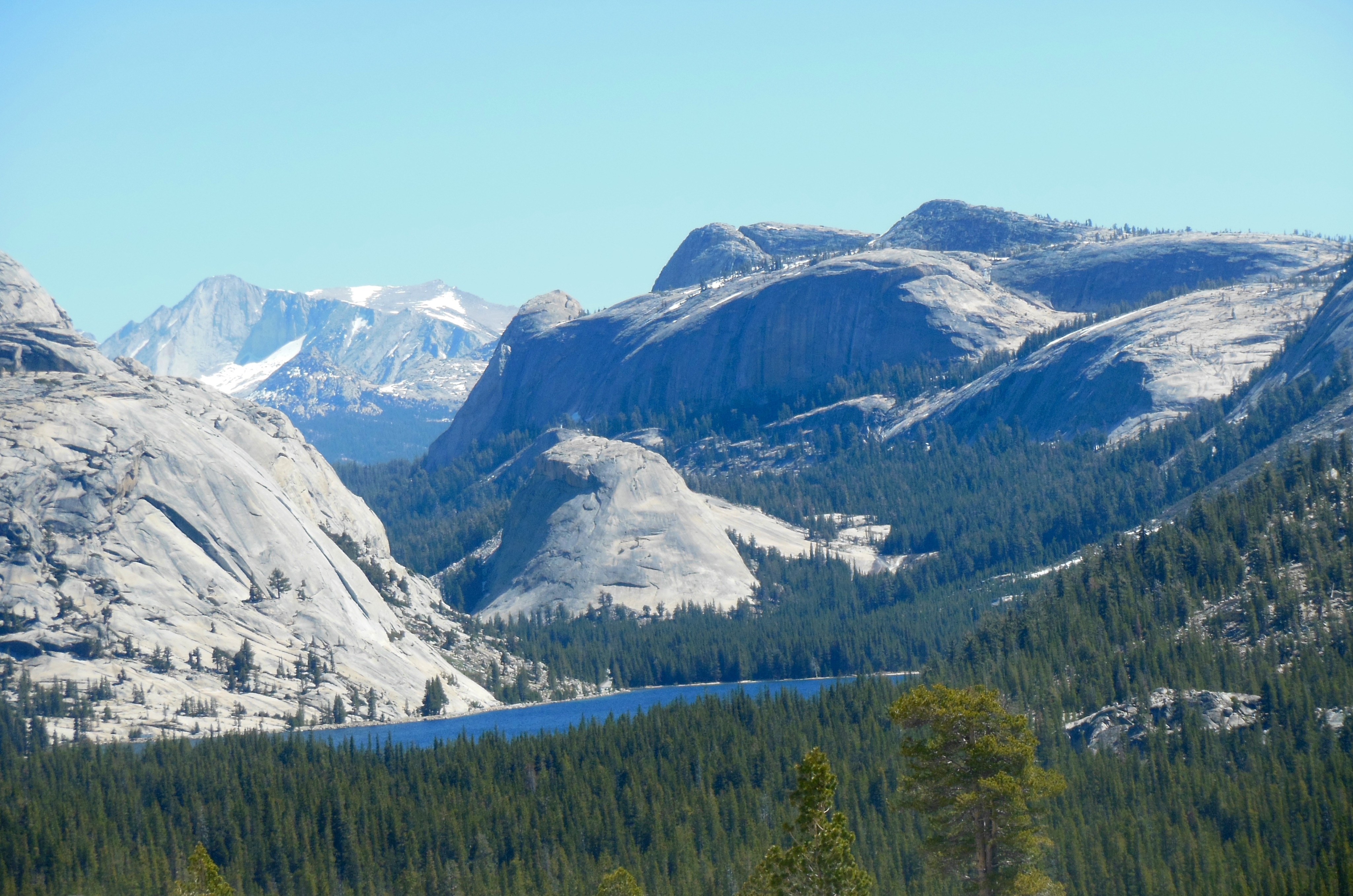
Tenaya Lake from olmstead point
We will take the road Friday when we leave Yosemite and head for Utah. Given glowing reports for its scenery, we thought it worthwhile to drive it now, see the sights, make our stops and take our pictures separate from traversing it for travel purposes.
At its highest point, the road is at 9945 feet. It is the highest highway pass over the Sierra Nevadas. Just a walk in the park for our Saturn now. Given the late night Wednesday from the moonlight tour, we did not get out until 8:30.

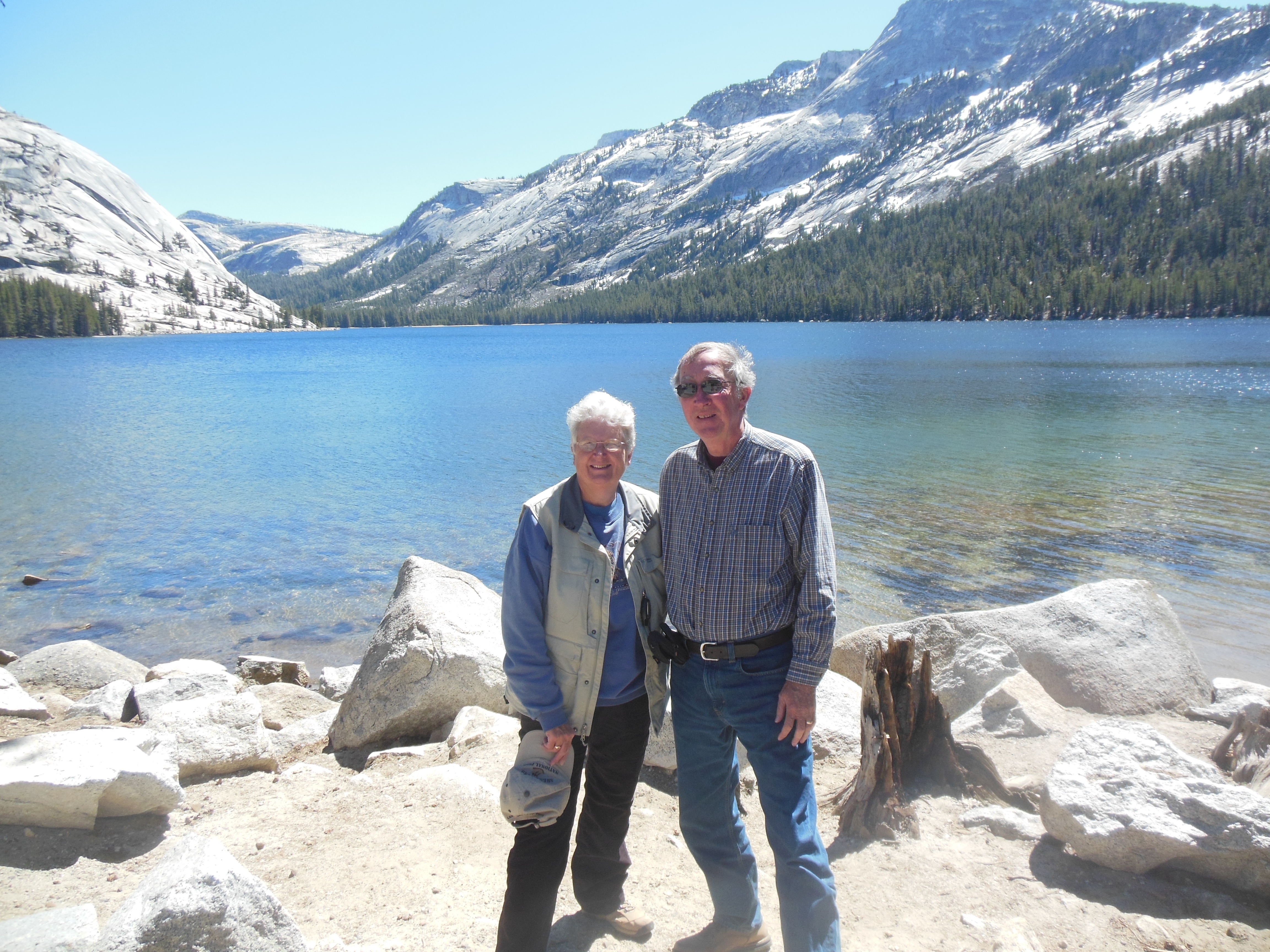
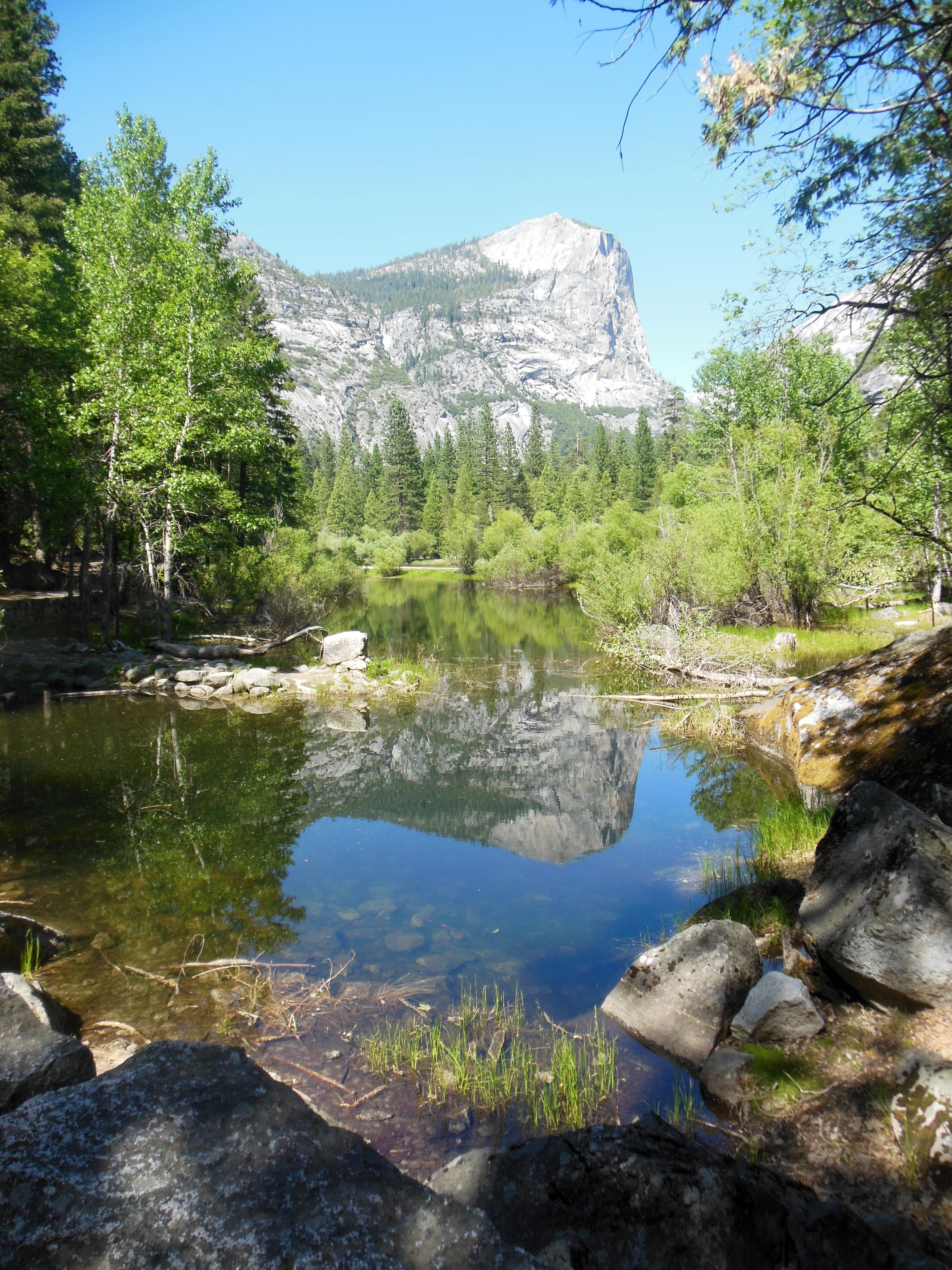
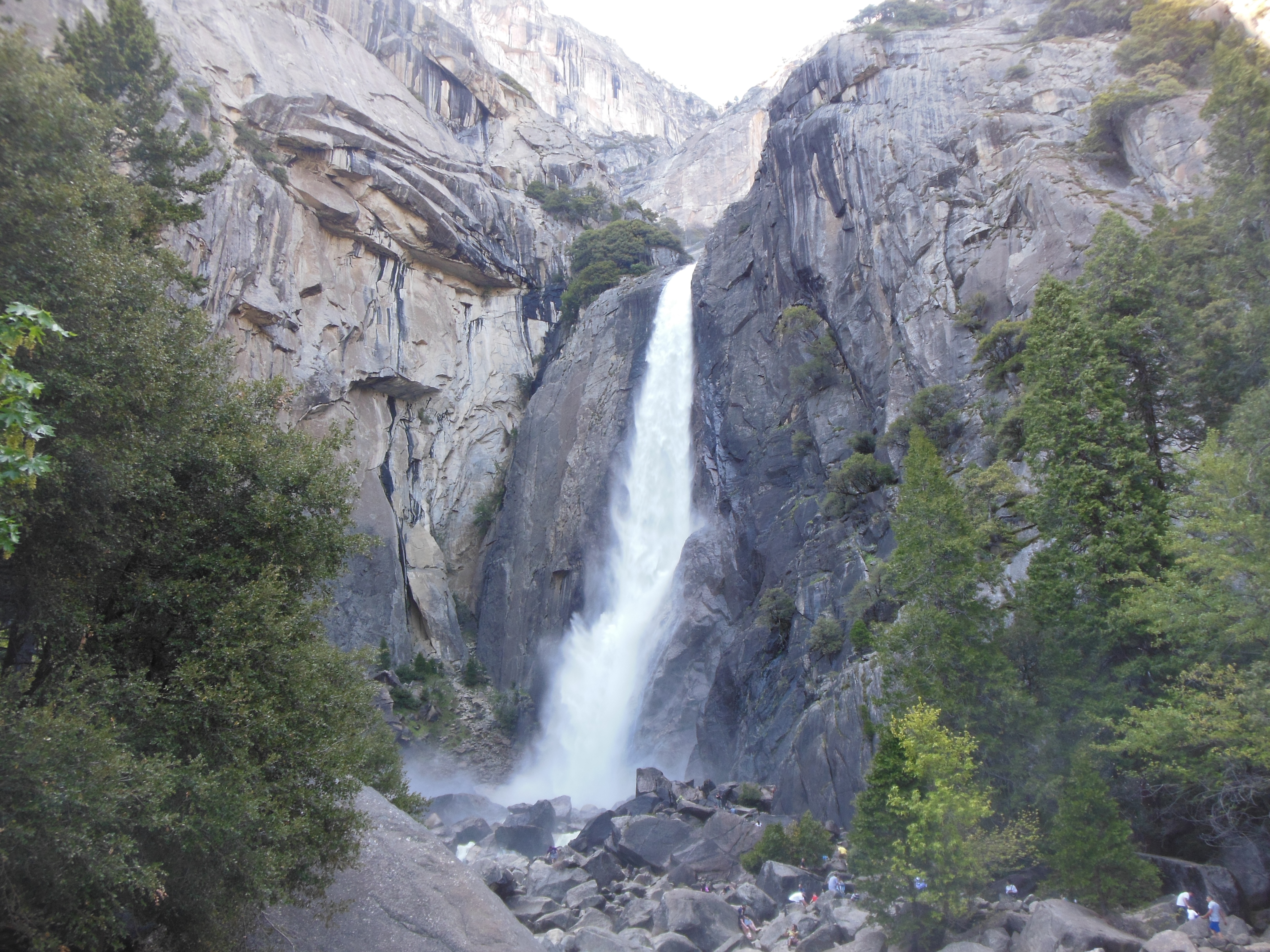
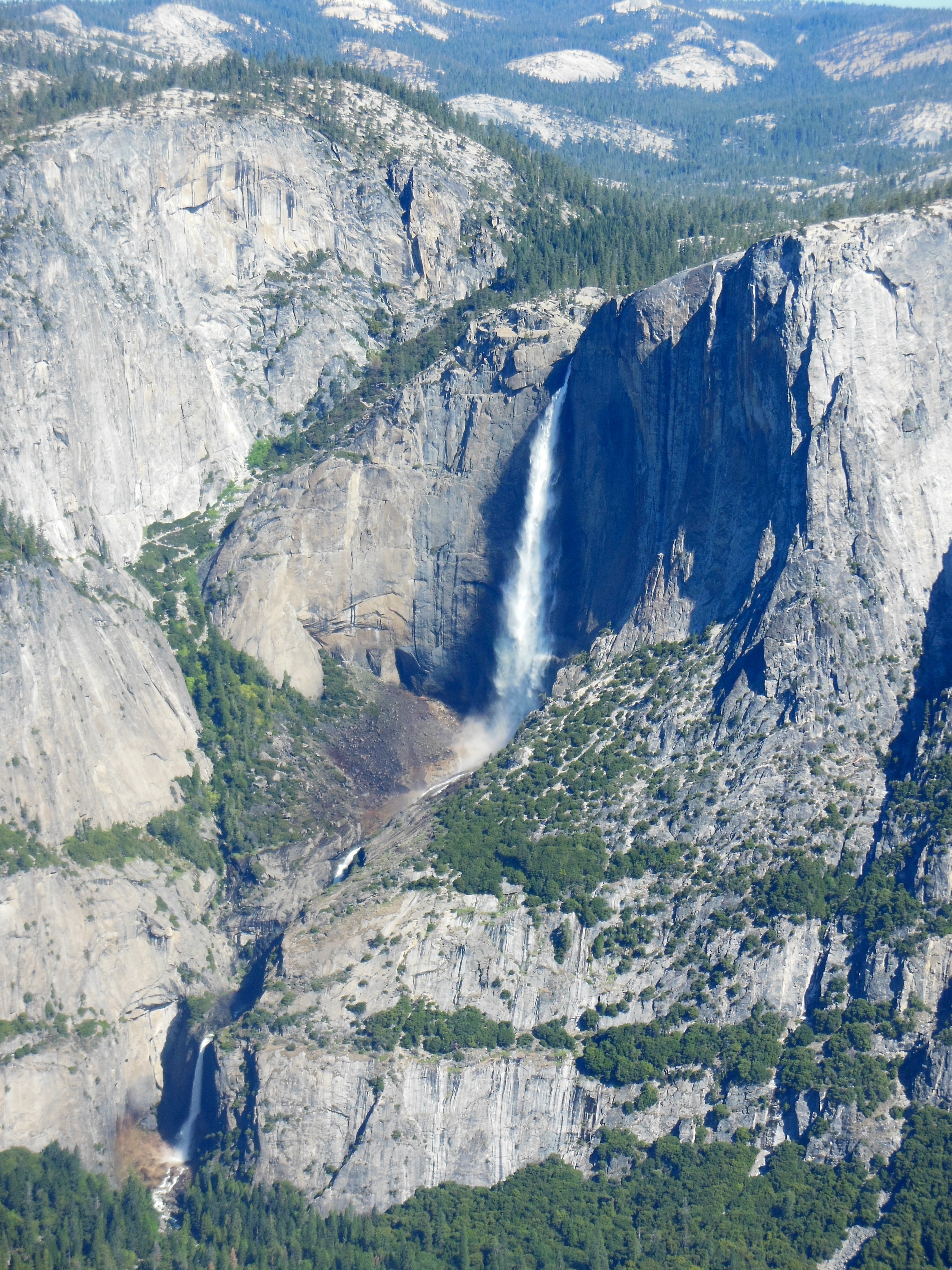
Tenaya Lake, Yosemite National Park
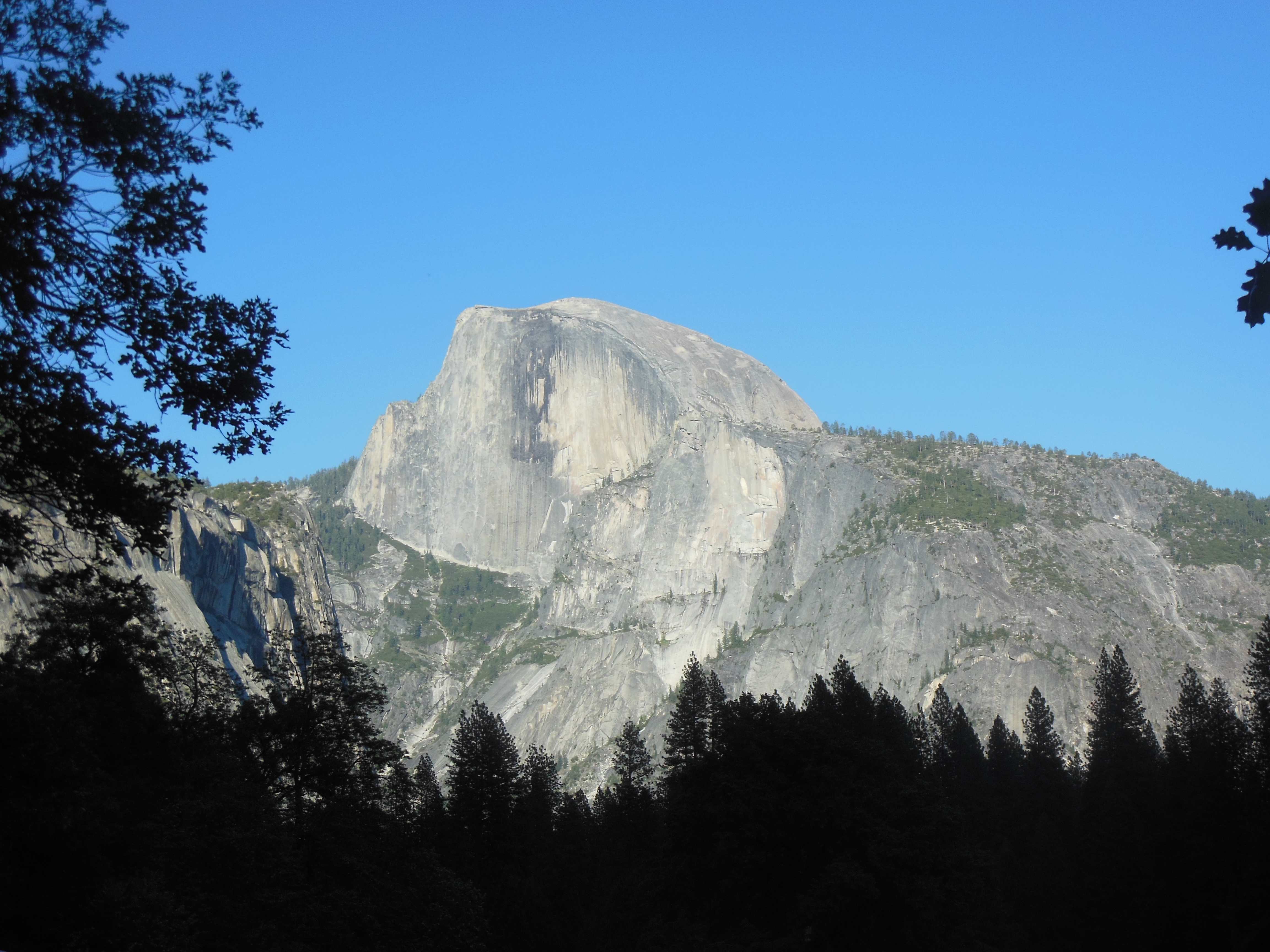
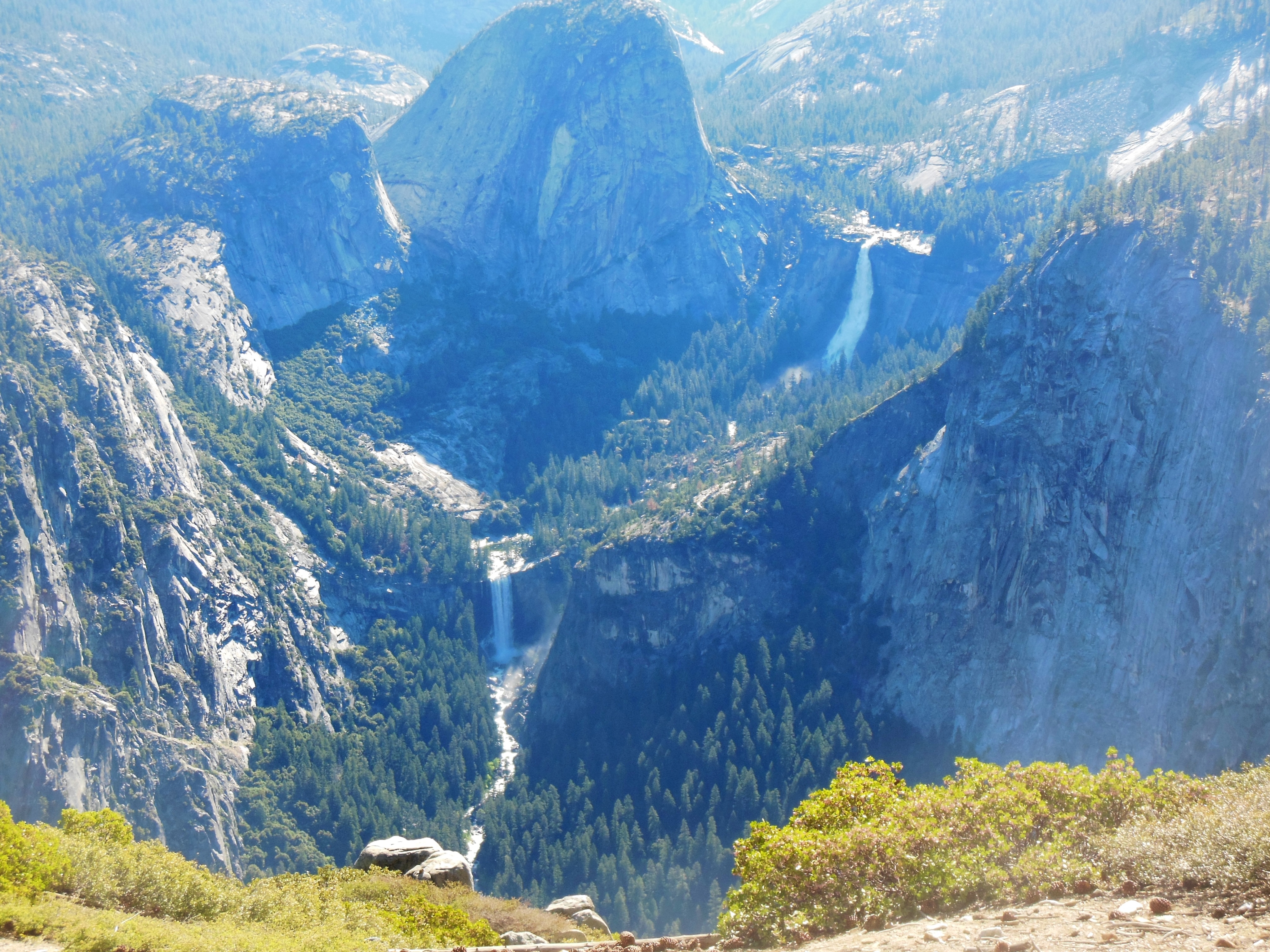
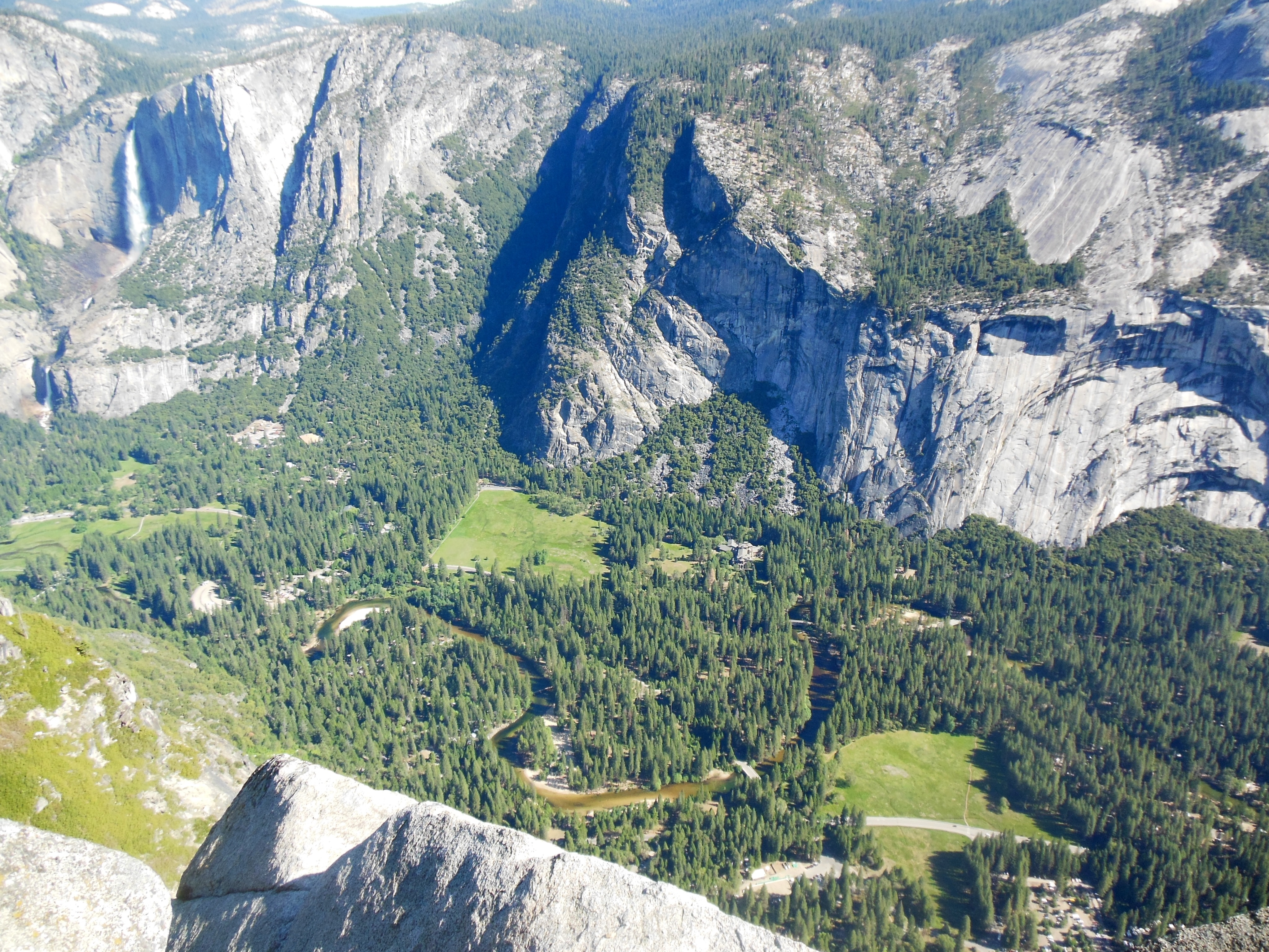
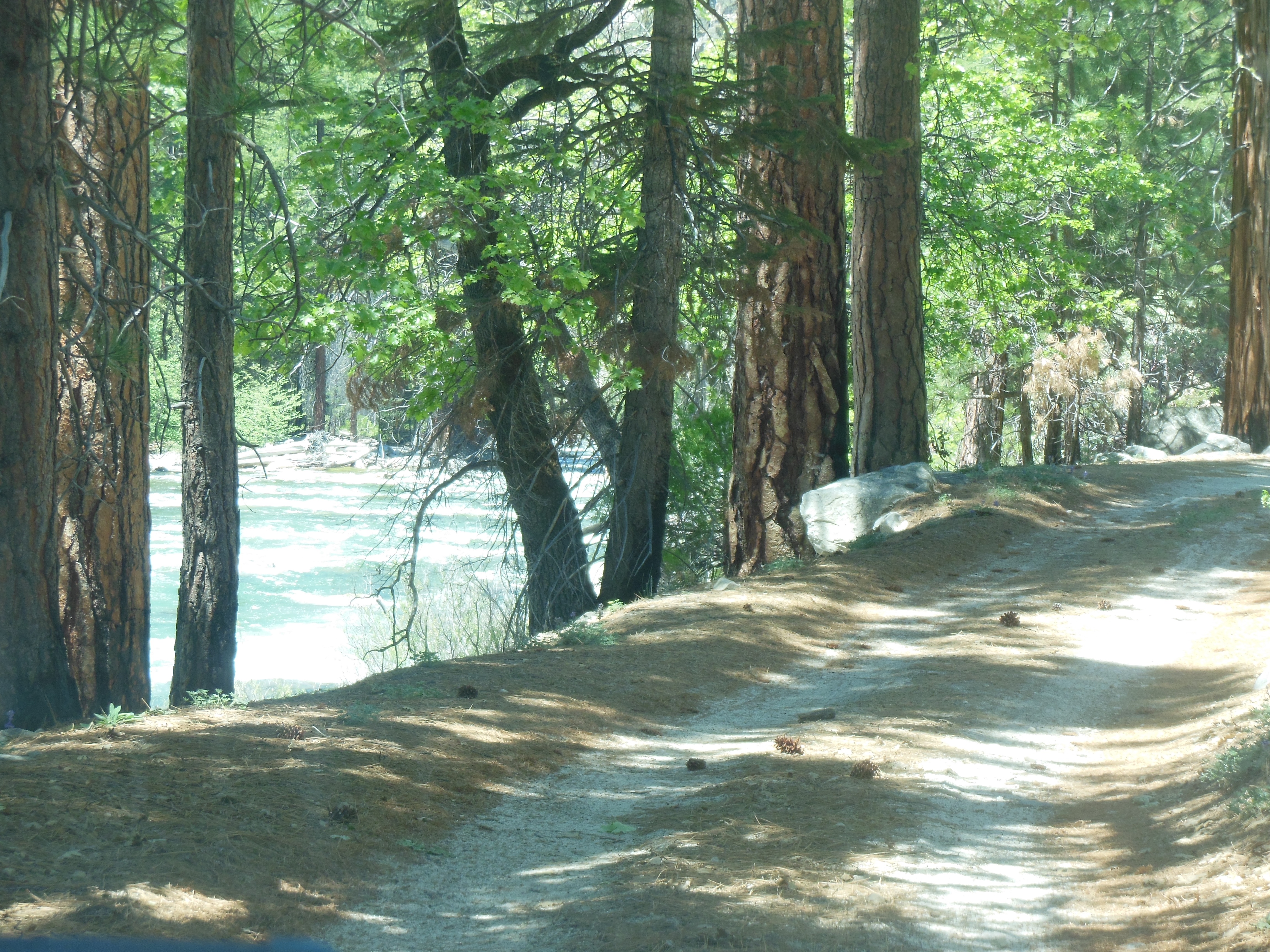
The first hour was pretty standard forested mountain road. We considered turning around several times, thinking where is the WOW factor. At Olmstead point, named after Frederick Law Olmstead, there is a very nice view of the back side of Half Dome and you start to see the eastern side of the Sierra Nevada mtns. In the distance along the road not yet traveled, we saw Tenaya Lake, the start of Tenaya Creek which flows into Yosemite Valley. We decided to press on, we had not set up an alternate option if we returned early.
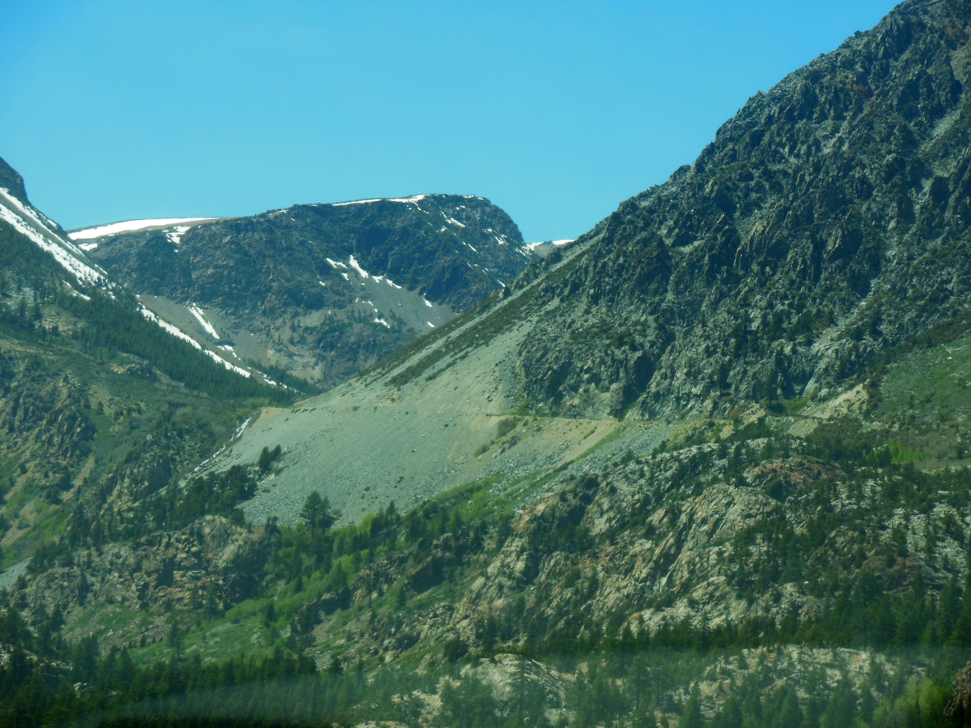
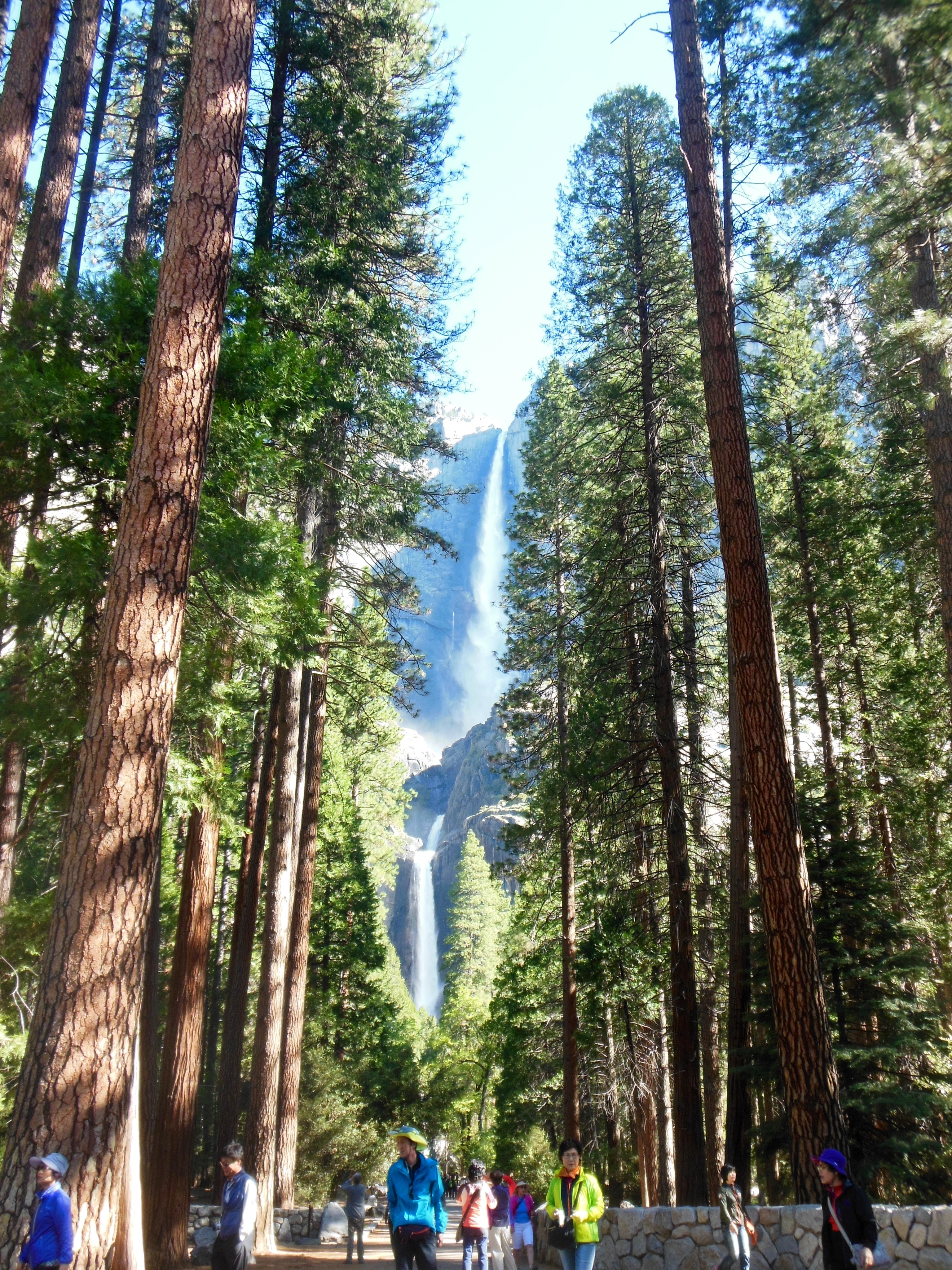
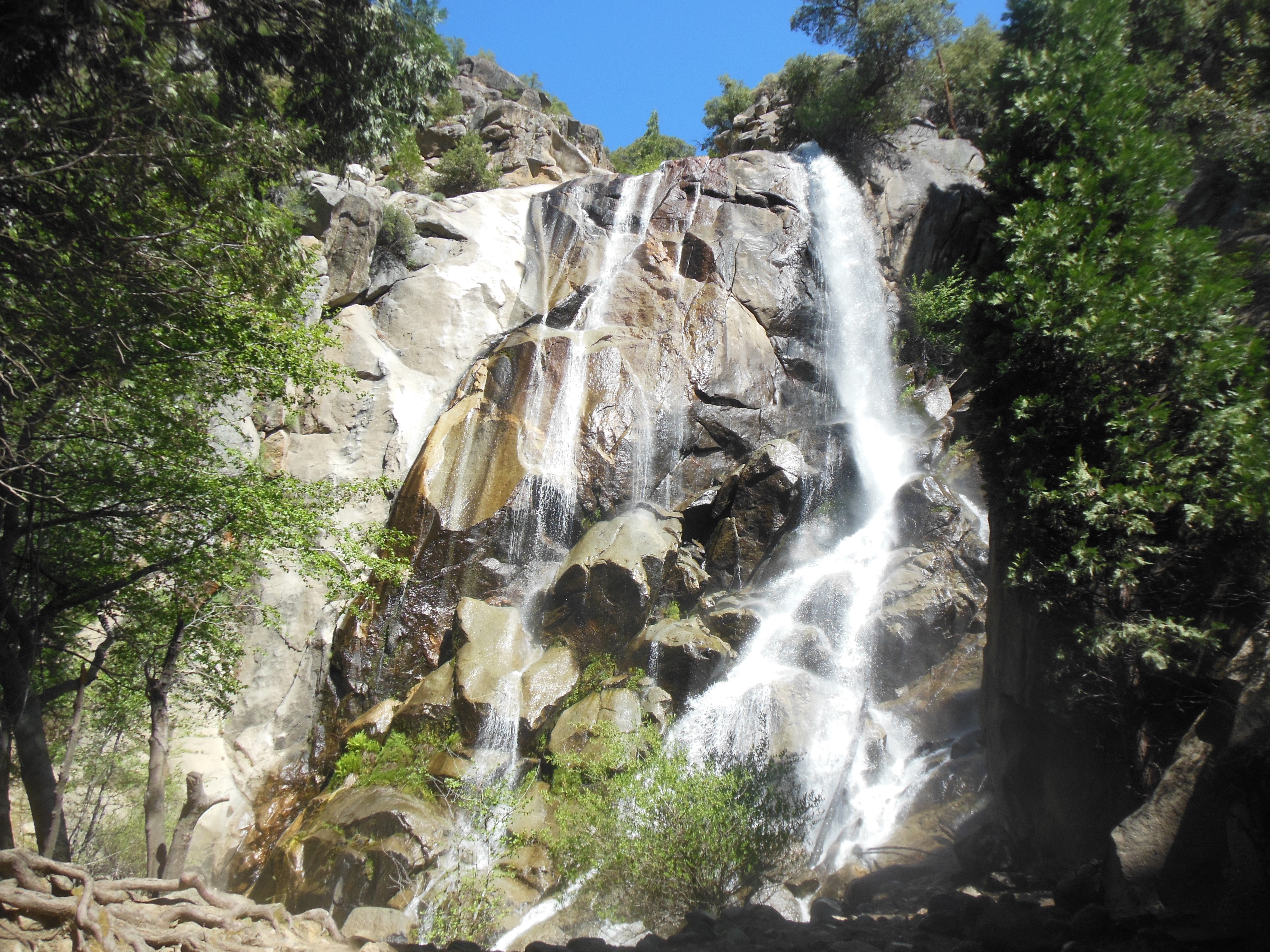
THe second half of the journey over the pass was more worthwhile. We saw several lakes and waterfalls, we came to alpine meadows not yet in bloom and then descended into Lee Vining, CA. This is the eastern entrance/exit to the park. At Lee Vining, there were two small but interesting items which we had wanted to check out.
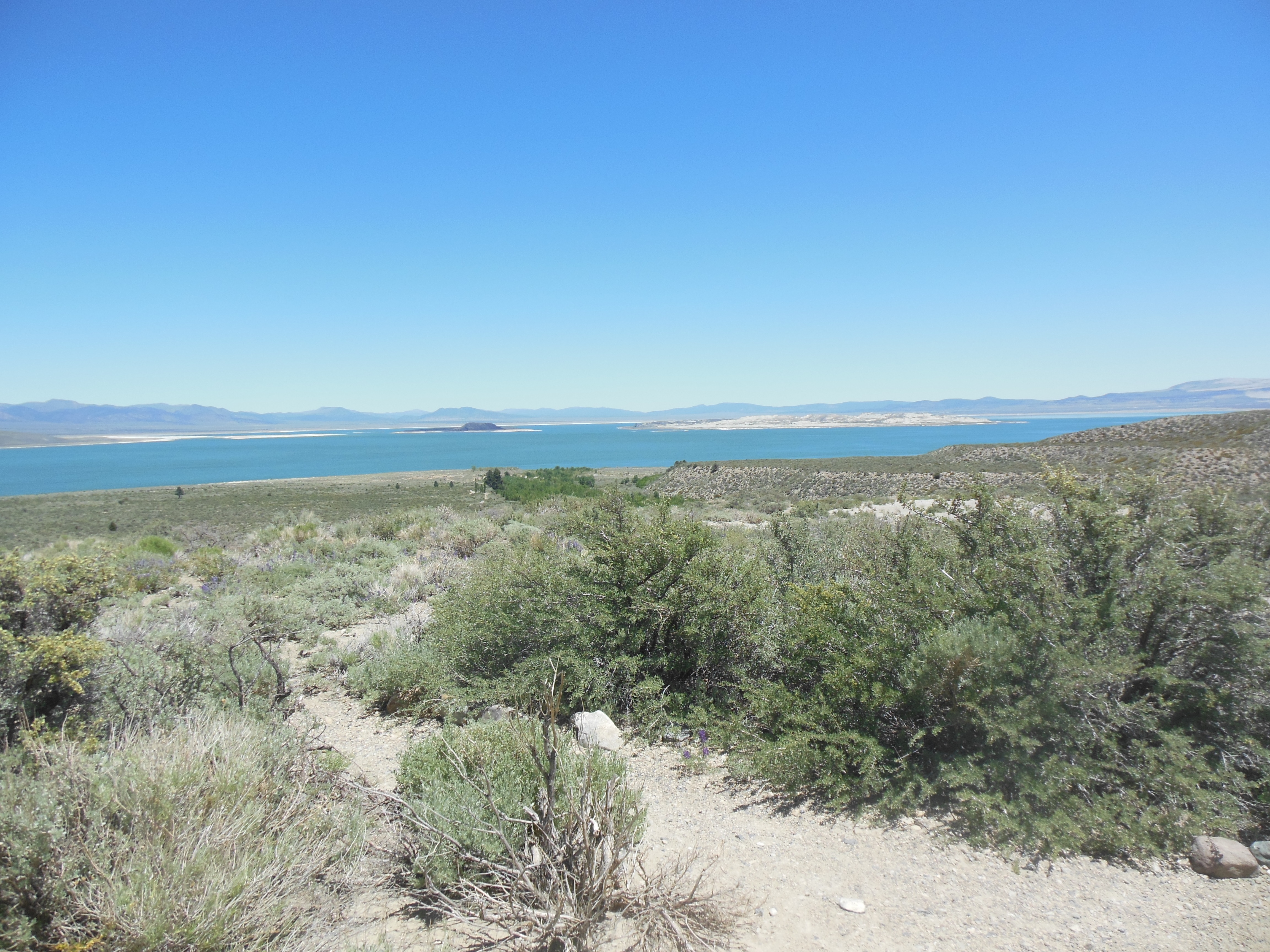
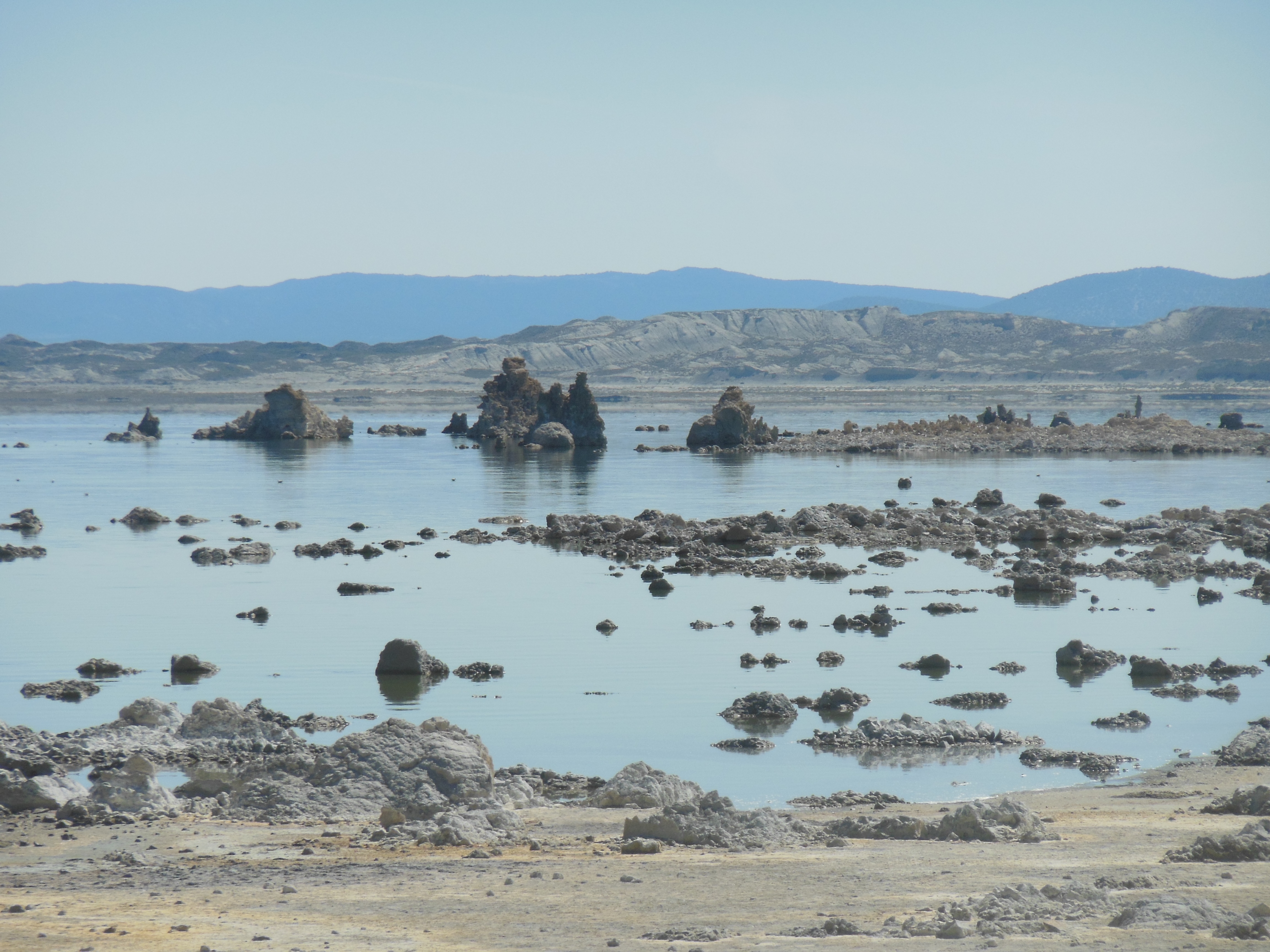
First, we stopped at Mono Lake Visitor Center. Mono Lake is a large body of water that at one point was almost drained due to Los Angeles water demands. It has a unique not quite fresh, not quite saline composition. It is a major migratory stopping point for birds. It has two islands in it that have volcanic origins. It has unique formations originally formed underwater composed of calcium carbonate that now stand like sand castles or rock formations. We hope to explore it a bit further Friday.

Mono Lake

Mono Lake close up
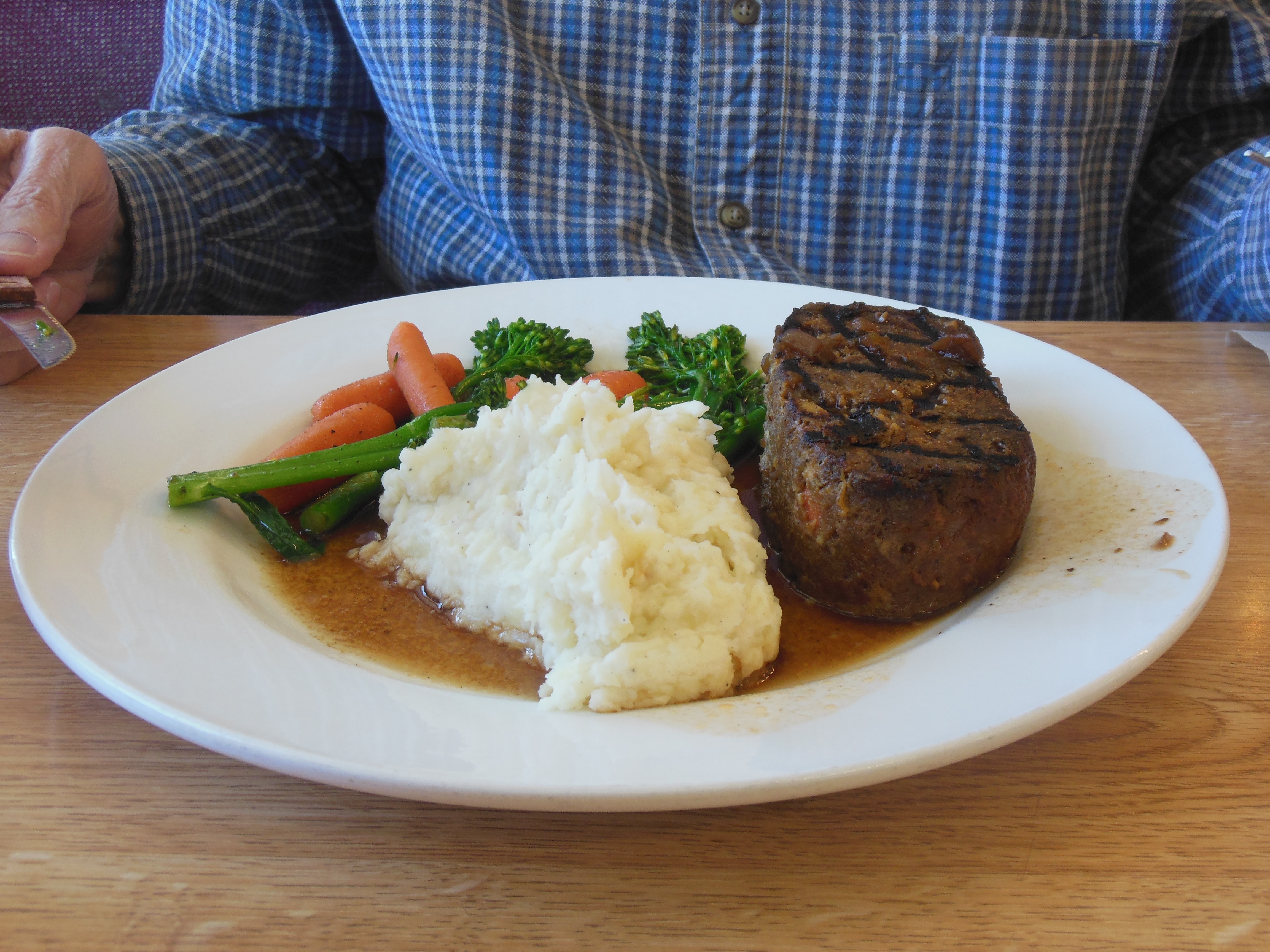
For lunch, we stopped at the local Mobil gas station. Inside was a unique restaurant started by the former chef at Mammoth Lakes Lodge, a major skiing stop just south of here. This was another find, written up in food magazines, etc. We had not read any of them prior to being here. I had their wild buffalo meatloaf, Chris the barbecued chicken sandwich. Both excellent.

Wild buffalo meat loat at Whoa Nellies deli
The drive back was anti-climactic. All in all it was pretty much a full day activity. Given the wind and cold temperatures, we only took one short hike.

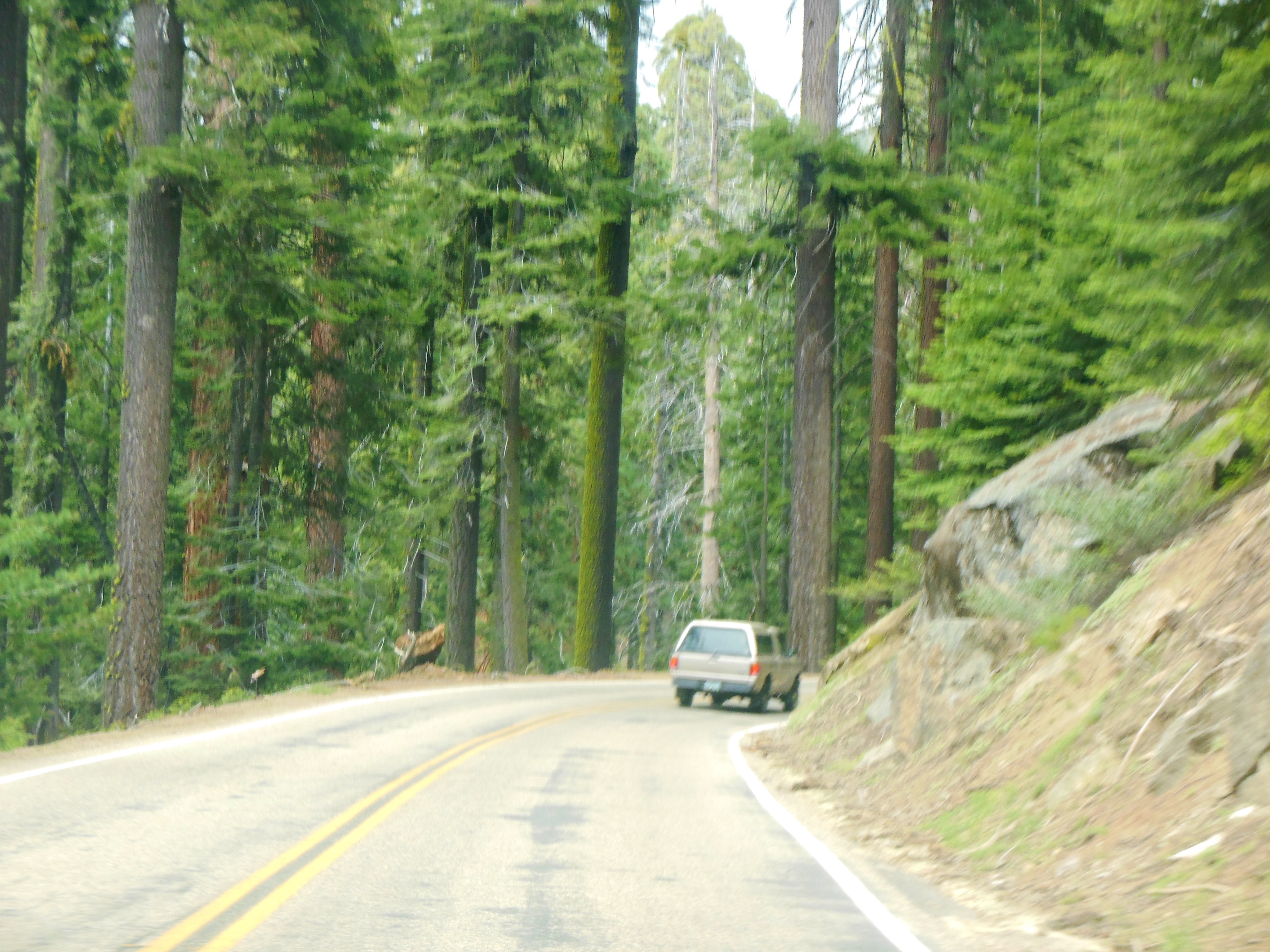
Heading back west over Tioga Pass

Back over Tioga Pass
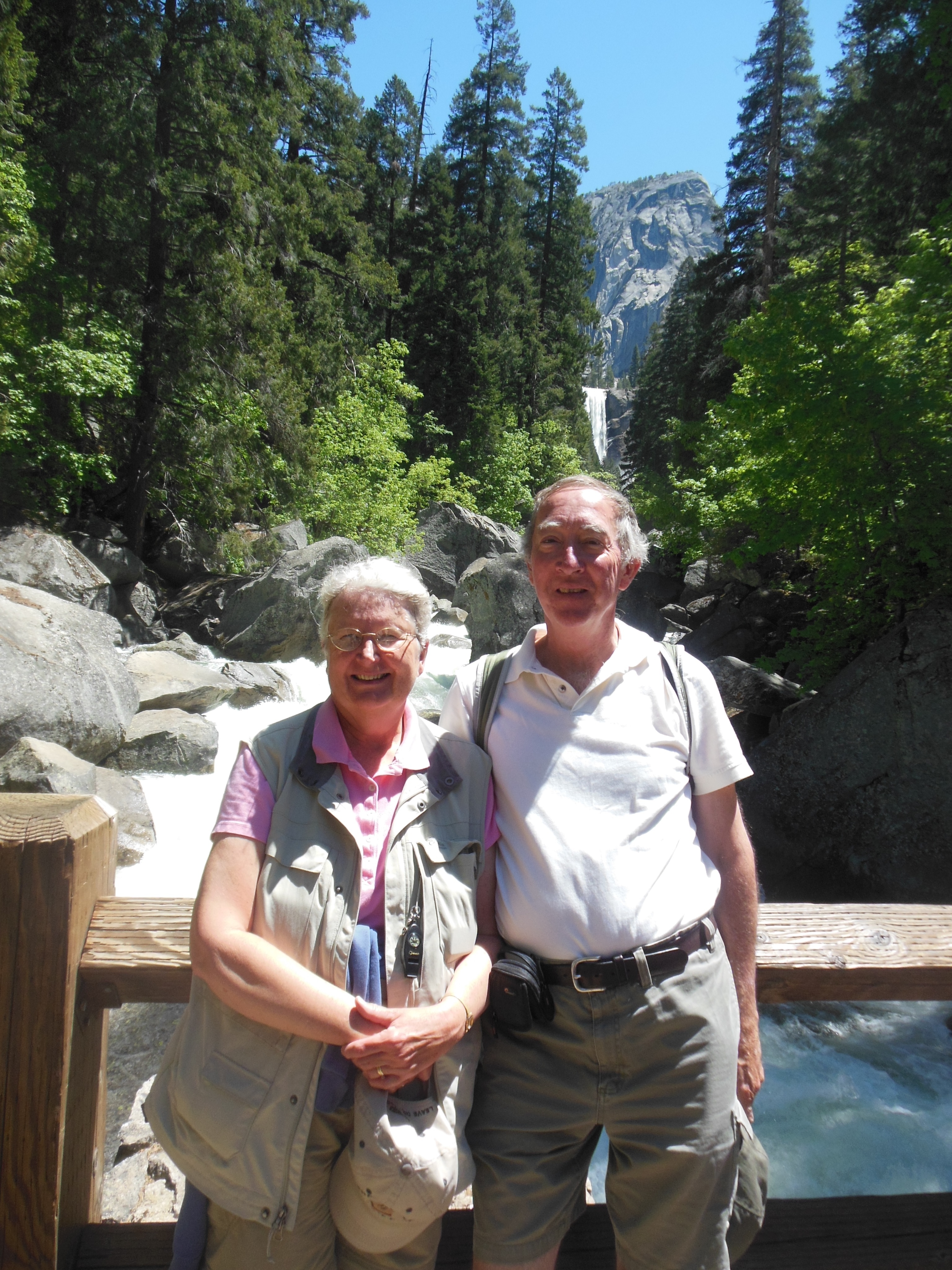
Ed and Chris May 23
Friday, May 24
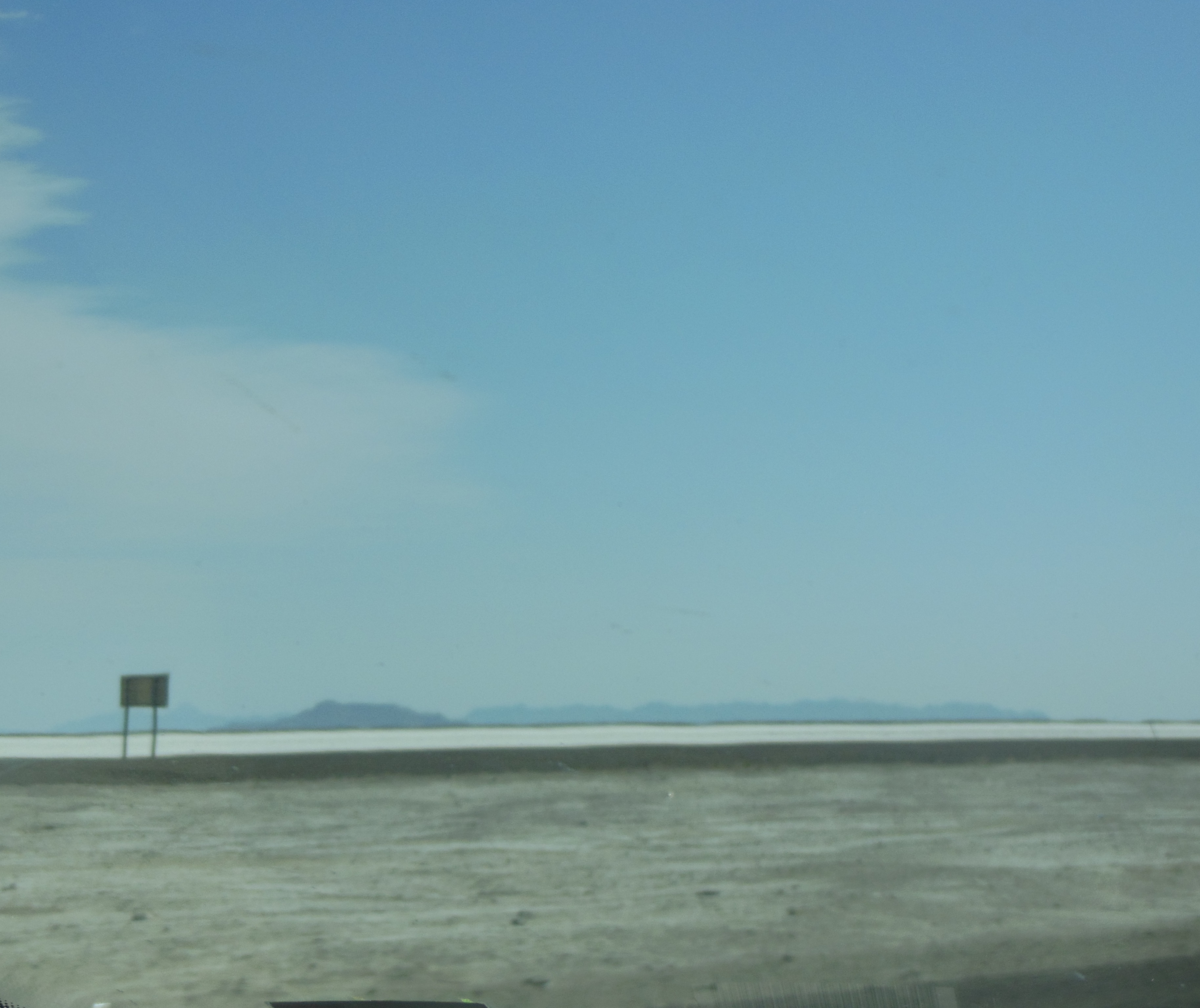
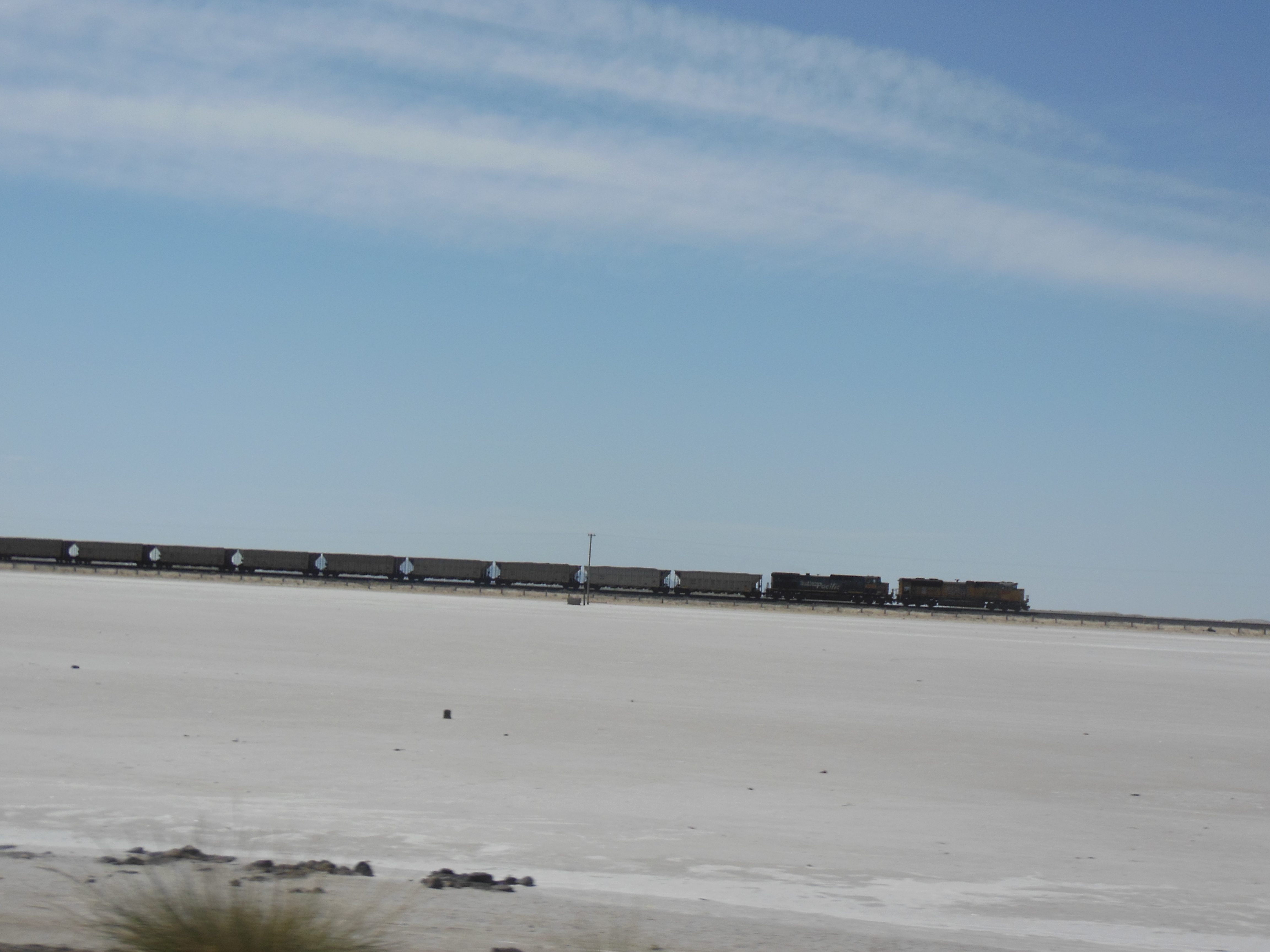
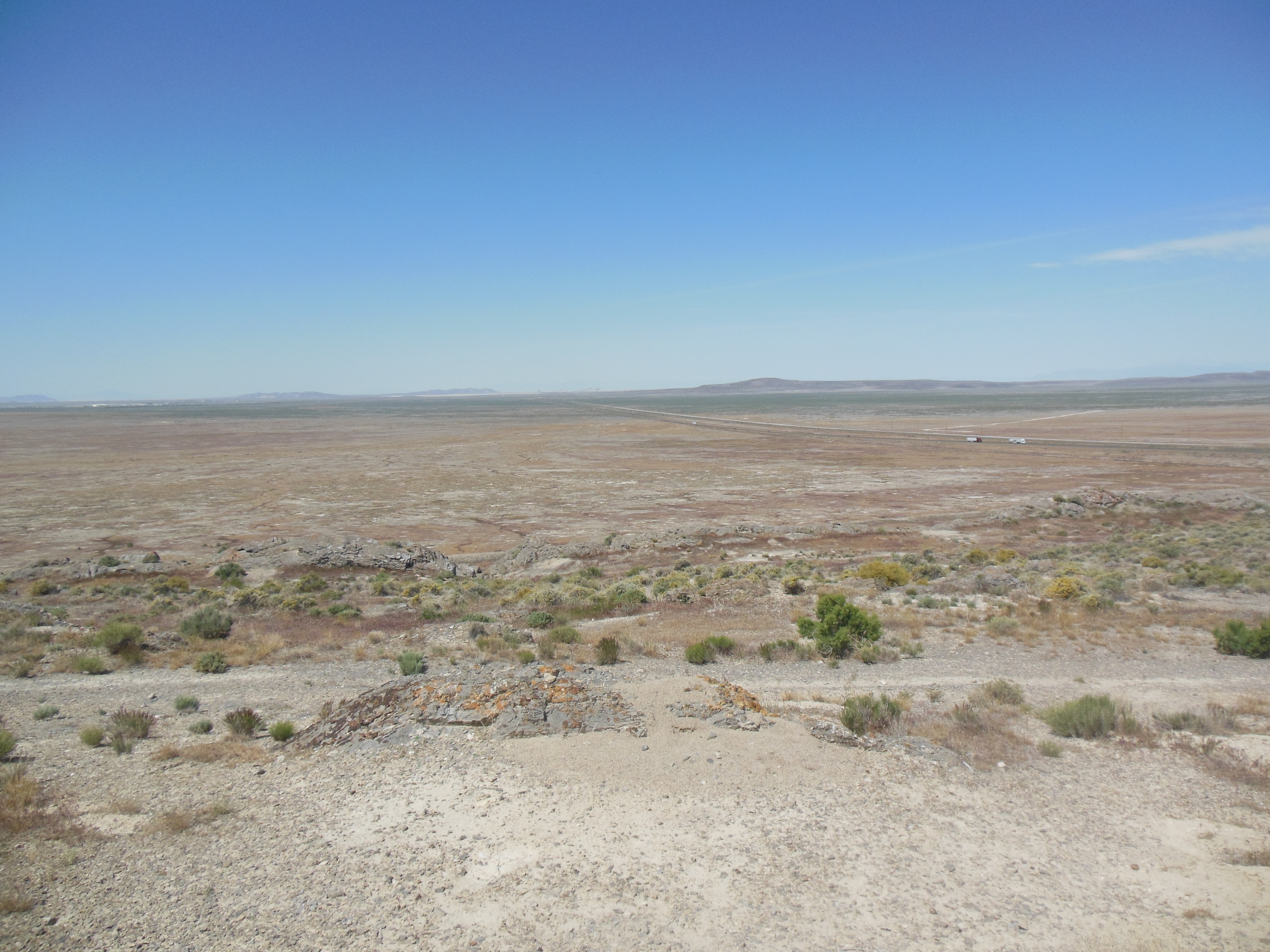
It was goodbye to Yosemite and hello third time to Tioga Pass. We made only a quick stop at Mono lake and headed on to Elko, Nevada. Driving the country certainly gives one a greater understanding of the vastness of the US.
Our drive to Elko brought out several tidbits.
1. Nevada has an Army material depot and a Naval Air facility along our route.
2. We passed an Interstate highway sign that said: Report shootings from highway.
3. Our lunch stop in Fallon Nevada at the Courtyard Cafe had excellent food and homemade pies. At the door, the local Republican Women’s club was holding a raffle. The prize was a pistol.
4. We had forgotten that Nevada has legalized prostitution. The town of Winnemuca where we fueled the car and the town of Elko where we are spending the night are two of them. Sex workers must register their vehicles with the police. We did not, on a brief review, see any ads in the local yellow pages.
5. Due to the infrequency of towns, all of the towns of any size, say 500 or more, have the first letter of their town name on the hill overlooking the town. (All of the towns seem to be in valleys with hills, ranges, or mountains on at leasts two sides of them.) So Winnemucca had a “W”, Carlin a “C”, etc. Supposedly this is to help orient pilots of smaller aircraft.

Walker Lake Nevada

The rest of Nevada
Nevada seems to be a never ending view of valleys, ranges, hills, and mountains. We did pass one lake, Walker Lake, an important bird migratory stopping point. But as you can tell, they do have working Internet as compared to the mountains we just left.
Ed and Chris May 25, 10 pm


Recent Comments