
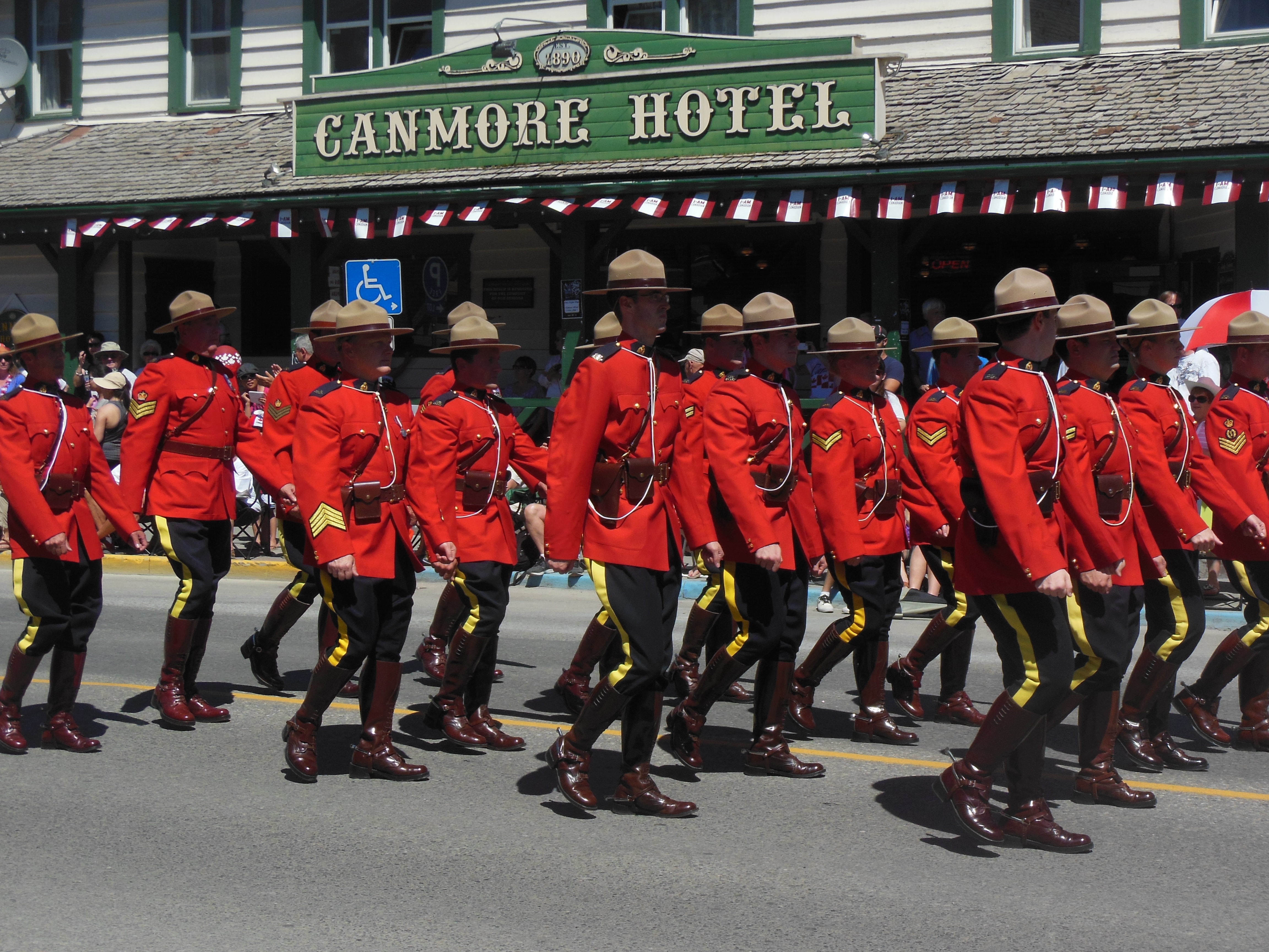
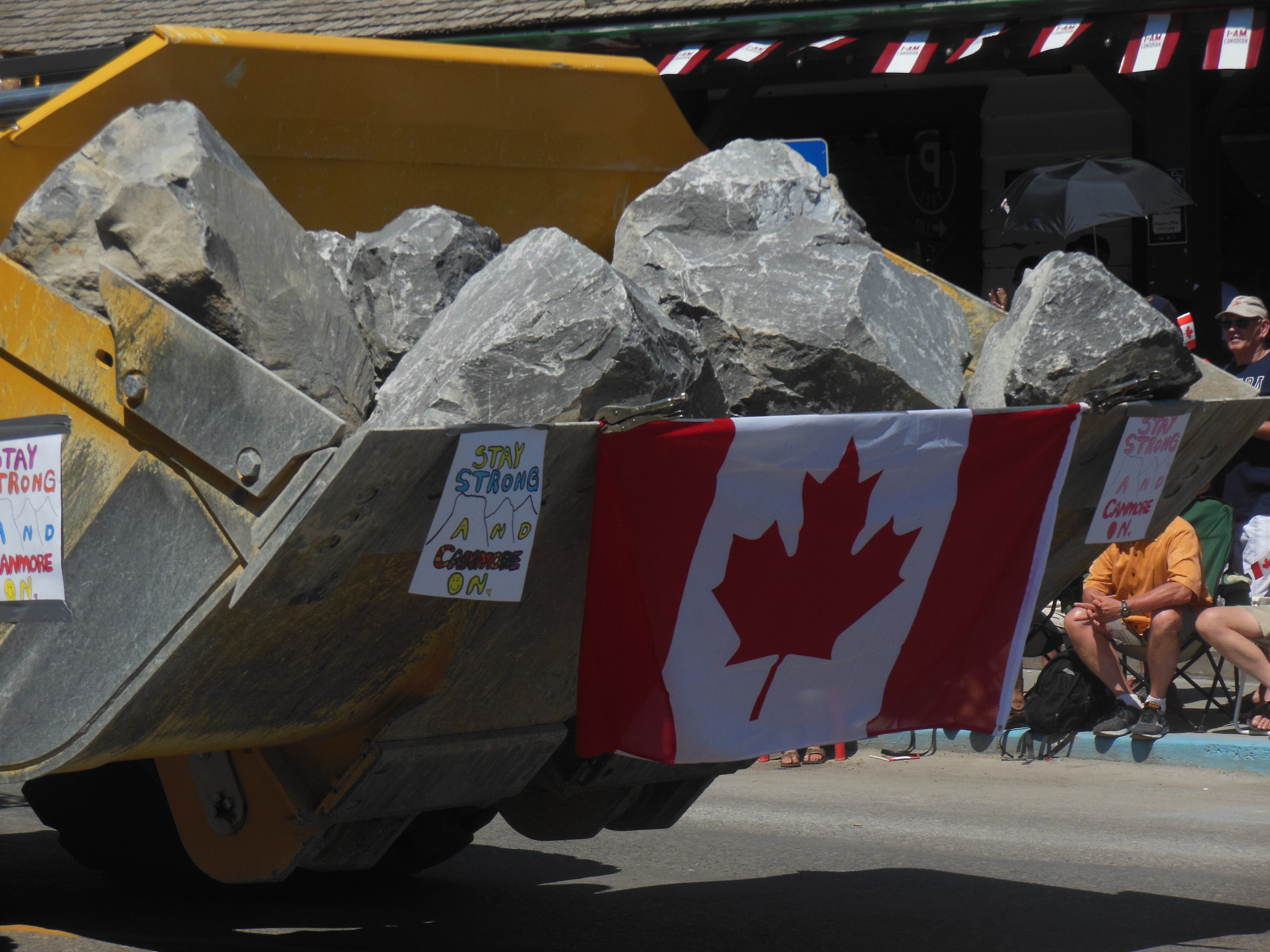
Canmore, Thursday July 4
No holiday in Canada, just another work day. We spent most of the day around the town of Banff. We made a quick stop at the park information center in downtown Banff. It did not open until 9 AM so we had a few minutes to wait.
The downtown area is very attractive. We did not spend much time walking the streets, however, since we are not major shoppers. Instead, we headed out to the Lake Minnewanka area. Due to the recent flooding, several of the facilities were closed and the boat that travels on the lake was not operating. Unfortunately, this was not stated or listed at the park office before we headed out.

Lake Minnewanka
The lake was expanded after two dams were created here. A small town was covered by the rising waters. Scuba divers who are able to handle cold,murky water and high altitudes enjoy exploring here. We just took a short hike by the lake then continued on the Lake Minnewanka drive. As we toured the area, we came across more closed trails and closed roads. The three lakes that we saw in the area continued the green, cloudy color or muddy brown from the run-off. One of the lakes is normally used for swimming. There was no one there.
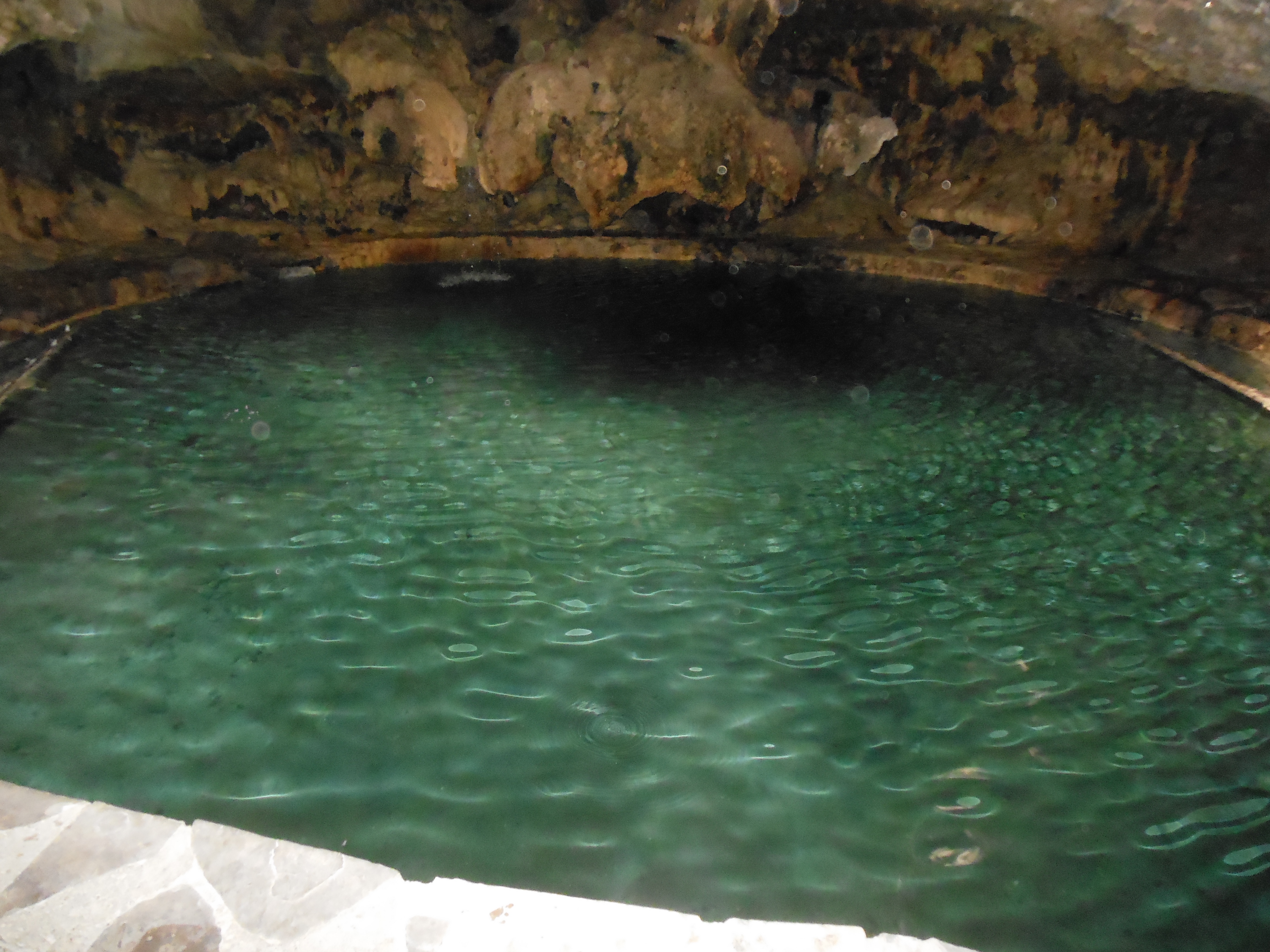
Thermal pool in cave
We returned to the town of Banff. We spent several hours at the Cave and Basin National Historic Site. At this location in 1883, three workers for the Canadian Pacific Railway found a hot springs and thermal pool in a cave. The timing was perfect for exploitation. Hot springs were in and the railway, like those in the U.S., worked hard to get tourists into the area. But of course there was controversy and issues over ownership rights.
The end result was the first national park in Canada created in 1885. It was the third national park in the world. First called Rocky Mountain Park, it was formed around the hot springs. This was a similar pattern to Yellowstone in the U.S. which was protected initially for the thermal springs. It took a while for other features to be treasured and added to the park property. Later on, Canada added Jasper, Waterton, Yoho, and Kootenay national parks in the Rocky Mountain area.
Canada instituted the first national park system with wardens/rangers, predating our park service by several years. Early years here demonstrated similar pressures to oust native Indians, mine natural resources, control predators and encourage tourism. During World Wars I and II, internment camps were established here and in Jasper National Park.
The Cave and Basin site was also used for swimming. A large swimming pool existed here for decades before closing permanently in 1994.
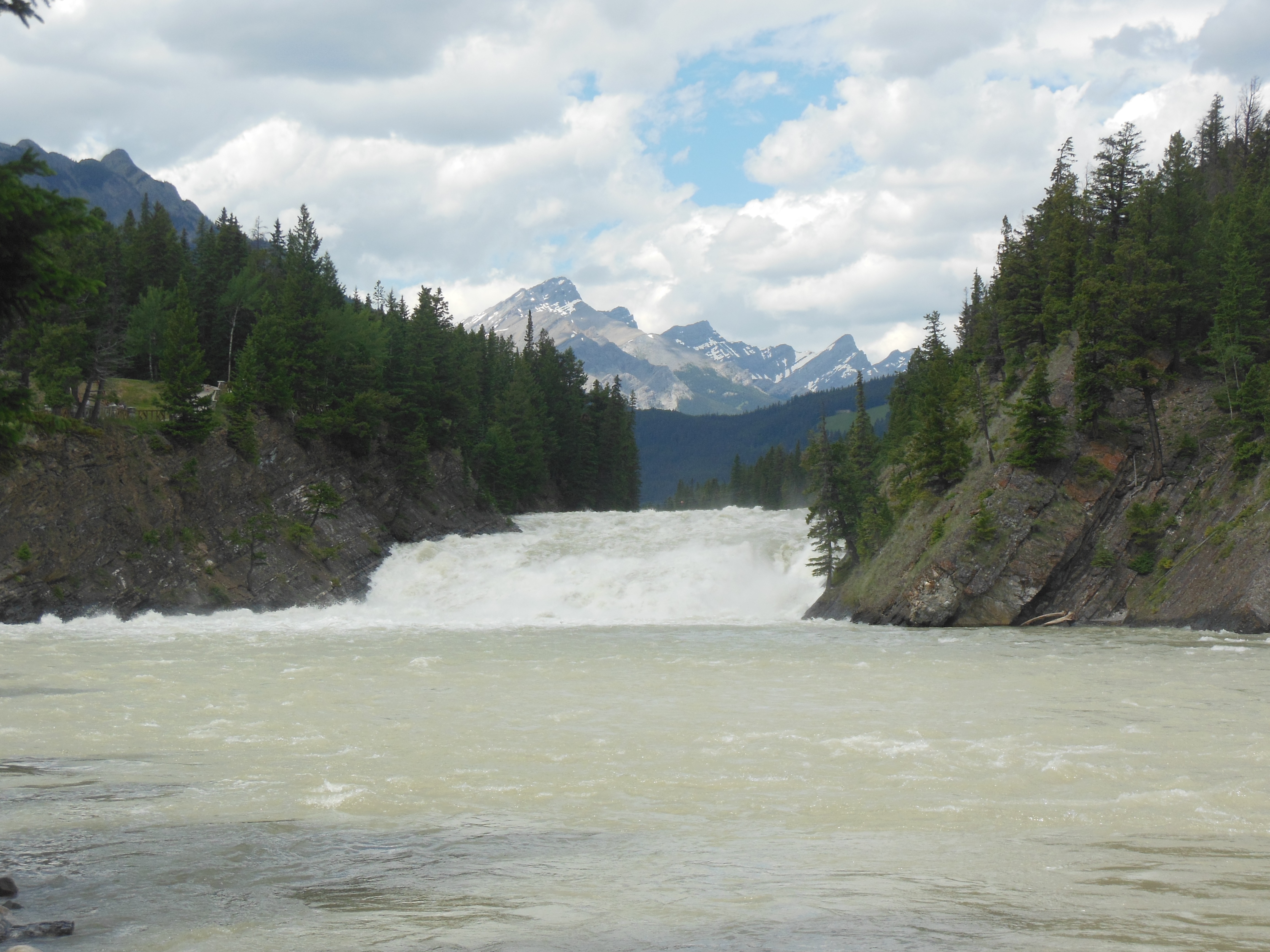
Bow River falls in Banff
We spent time exploring the cave, reading about the parks system, hiking up to the springs and down to the marsh along the Bow River.
Our late lunch stop was at the Bow River falls. While not high, the strong flow and mountain backdrop make the falls attractive and a tourist hot spot. Part of the area was being re-built due to the flood.
After lunch, we went to Cascades in Time garden located at the Parks Administration building. It was a relaxing way to spend part of the day. Here, at Cave and Basin, and in the back yard of our lodging, bloom the wild rose, which is Alberta’s official flower.
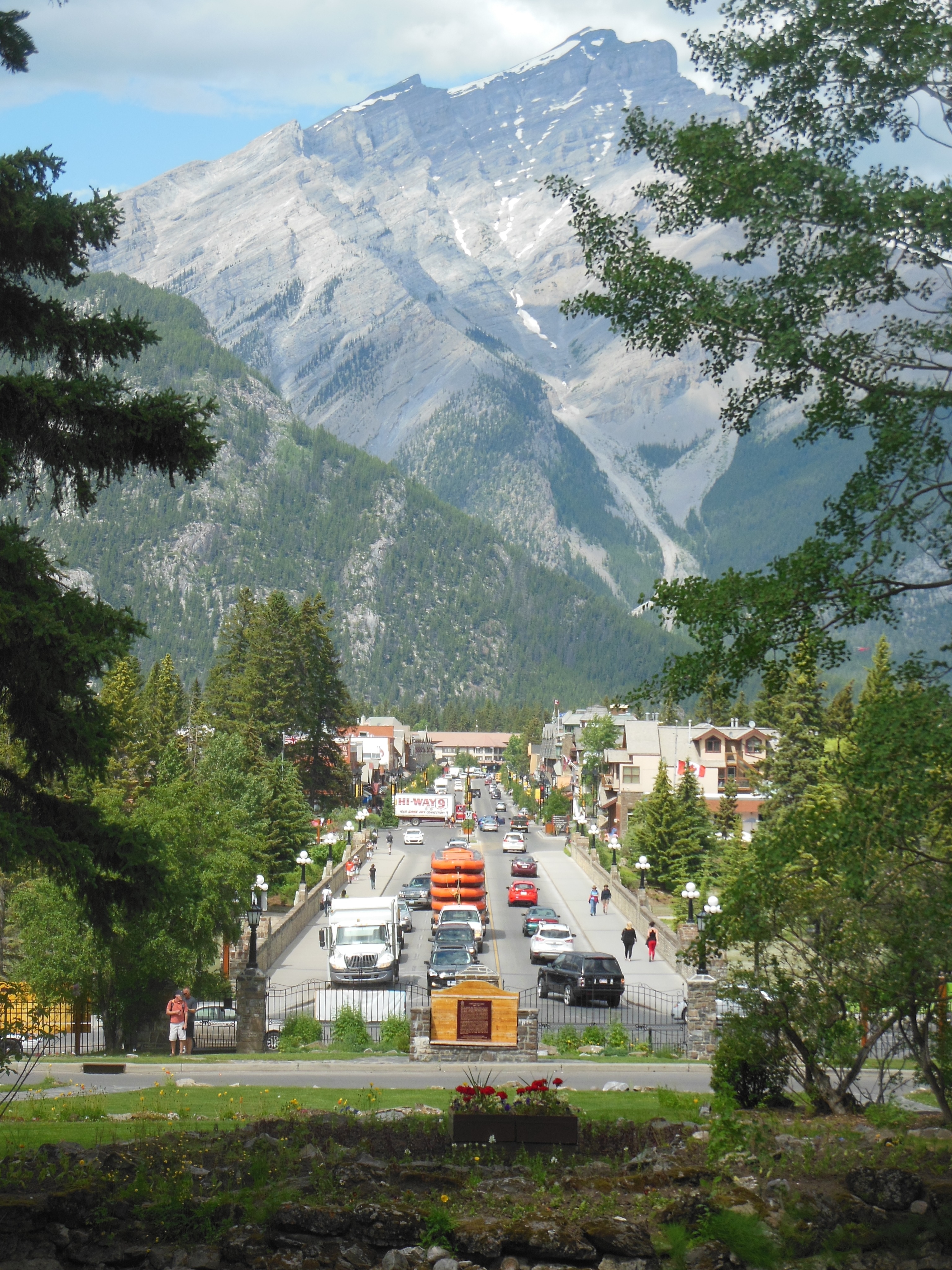
View of downtown Banff
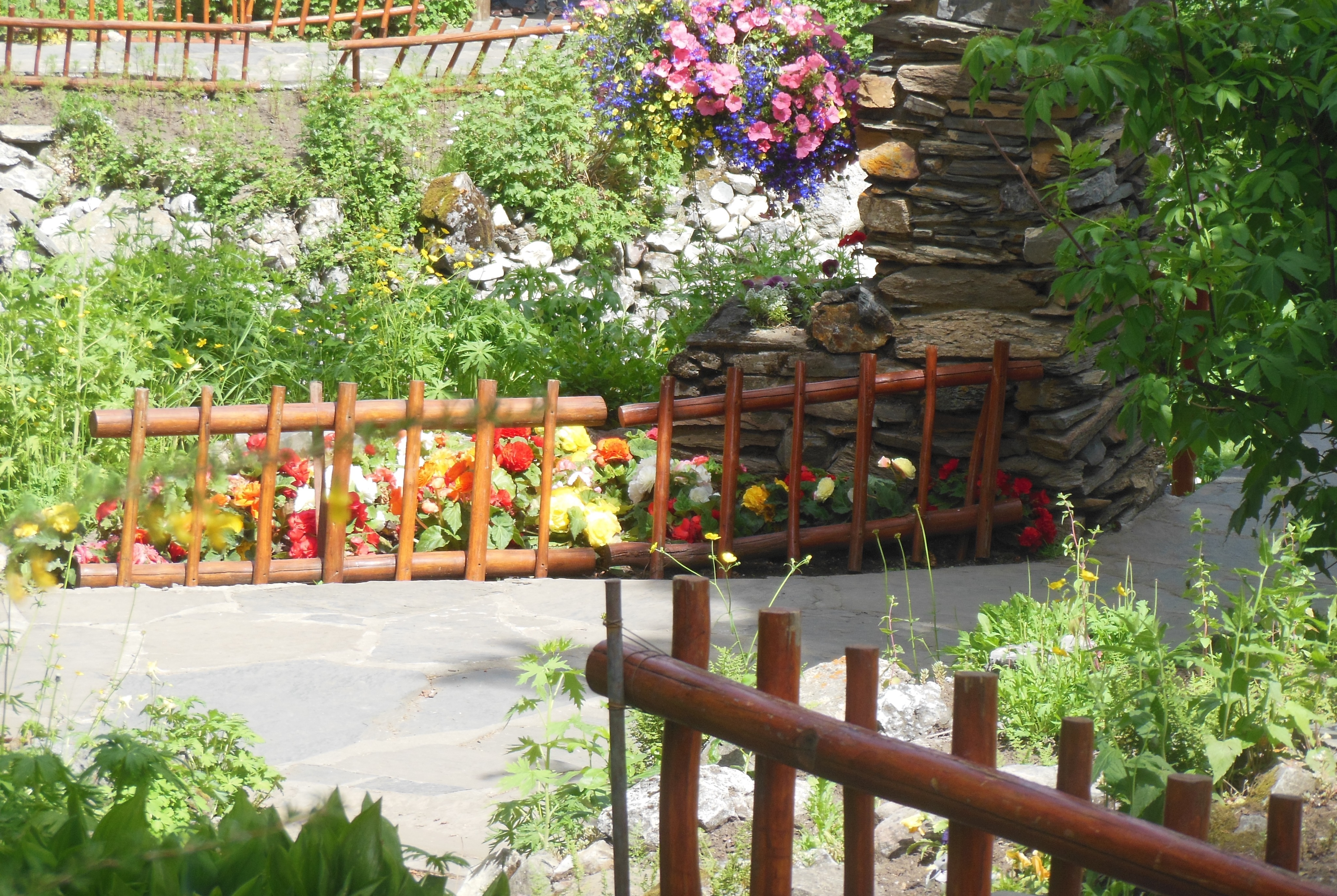
Cascade in Time Garden
Our final stop was at the Hoodoos overlook. Hoodoos are tall, thin columns of rock formed because a protective cap of some nature drastically reduced its erosion in contrast to the surroundings. Bryce Canyon is a great example of numerous hoodoos. We saw a few in Colorado National Monument on Trip Four also.
Back in Canmore for dinner at a local restaurant, grocery shopping, and further planning. Tomorrow is tentatively scheduled for Kootenay National Park just over the border in British Columbia.
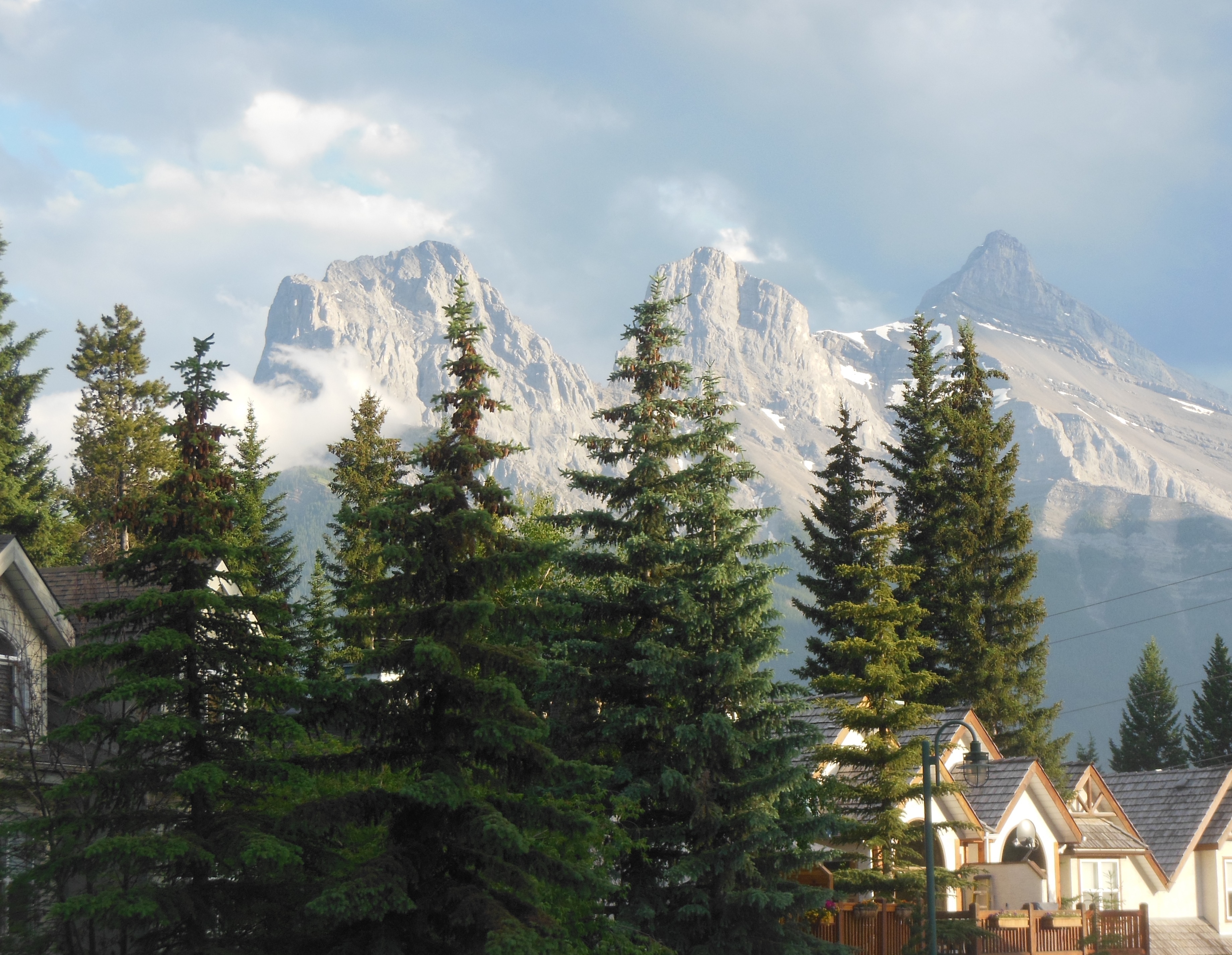
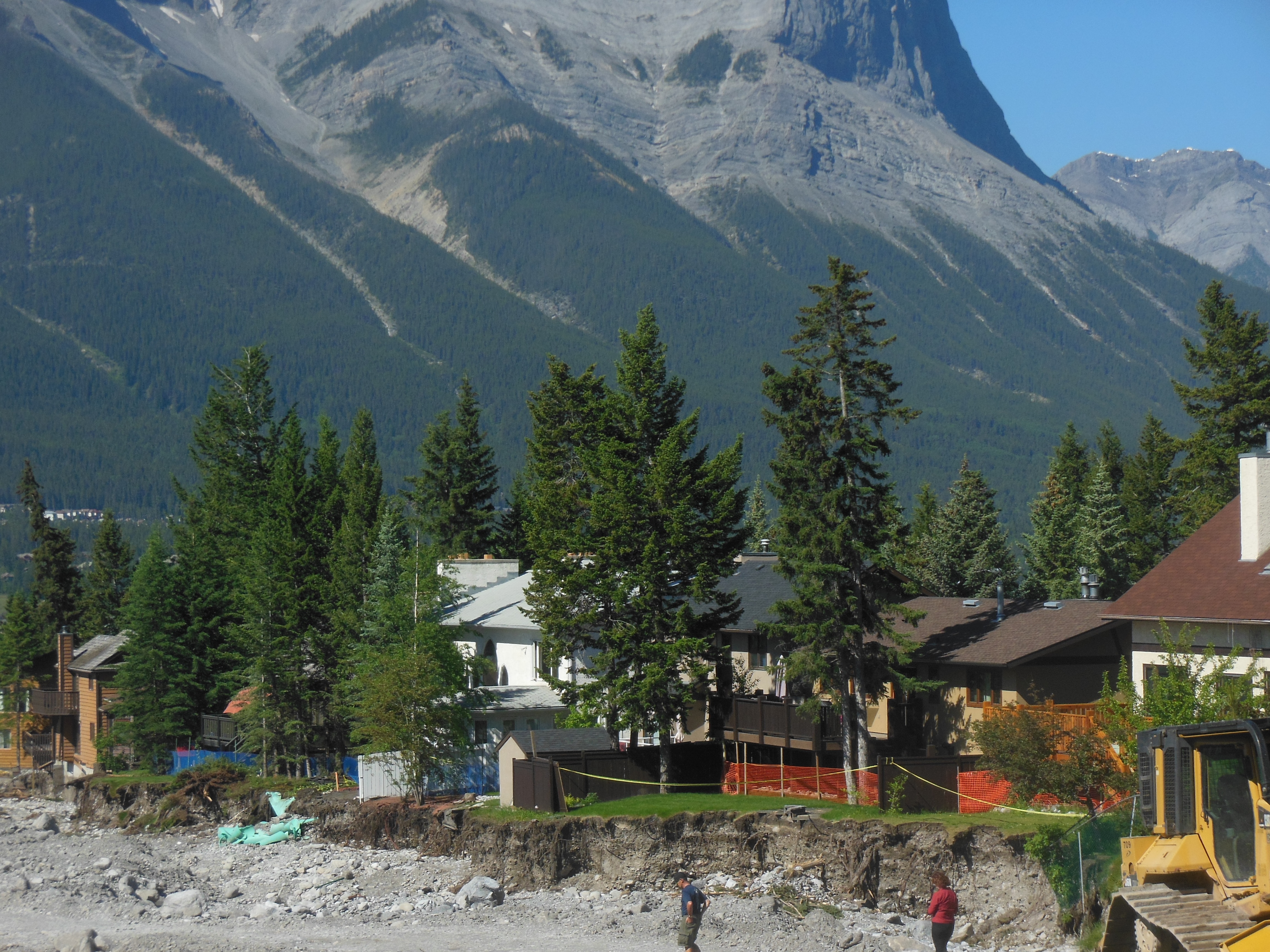
Another shot of 3 Sisters mountains outside our door at 8:30 pm
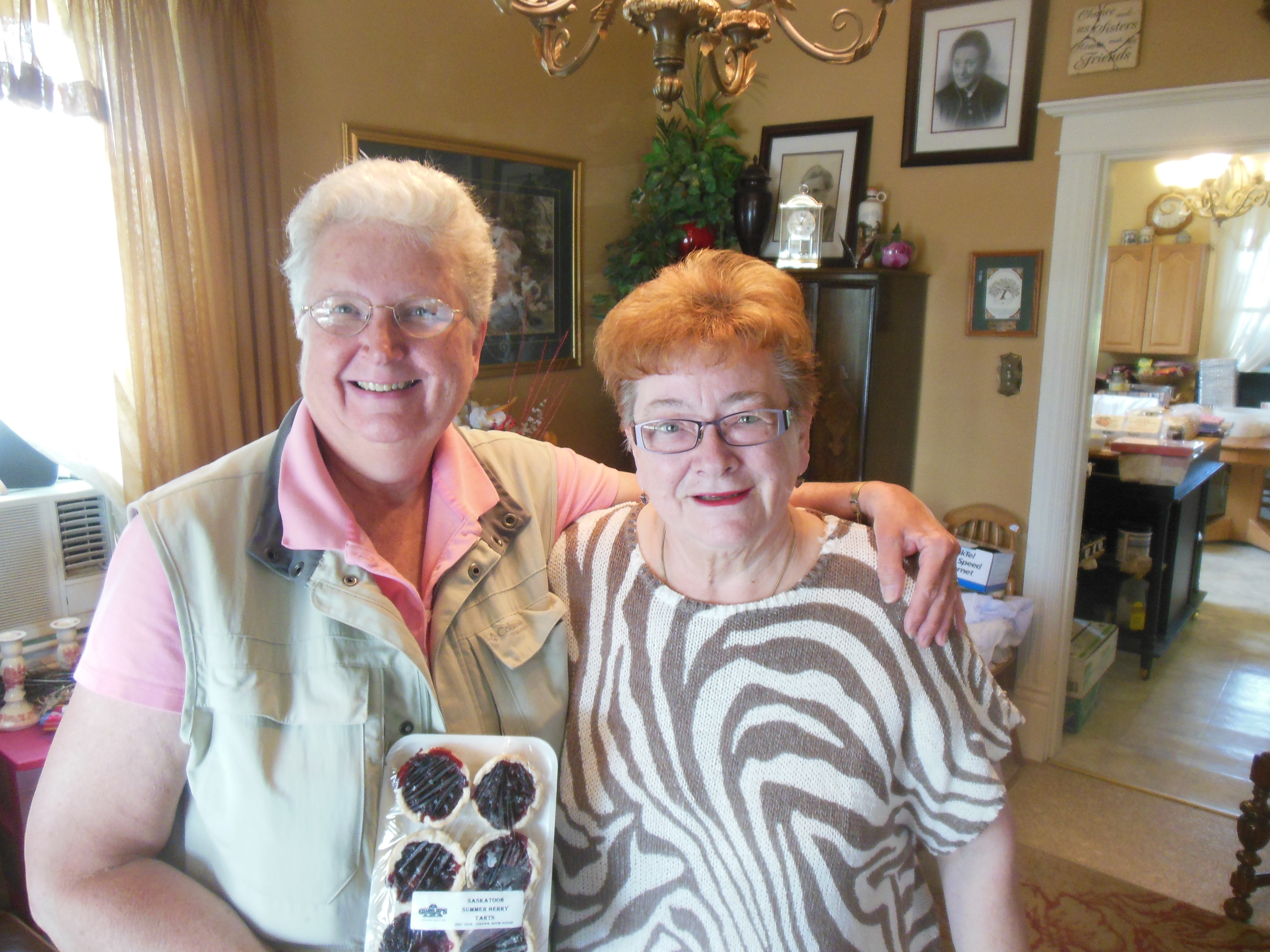
Ed and Chris July 4 10:30 pm


Recent Comments