Paradise, July 12 and 13
As I mentioned in the previous blog, we were without cell phone and Internet service for July 12 and 13th. We stayed at the Paradise Inn at Mount Rainier in Washington state. This post will cover both Friday and Saturday, the 12th and 13th.
We left Yakima, Washington, Friday morning. The initial part of our drive was through the fruit bearing orchards west of Yakima. It seems each part of Washington says it grows some large percentage of a fruit; apples, raspberries, rhubarb, mint, cherries, etc.

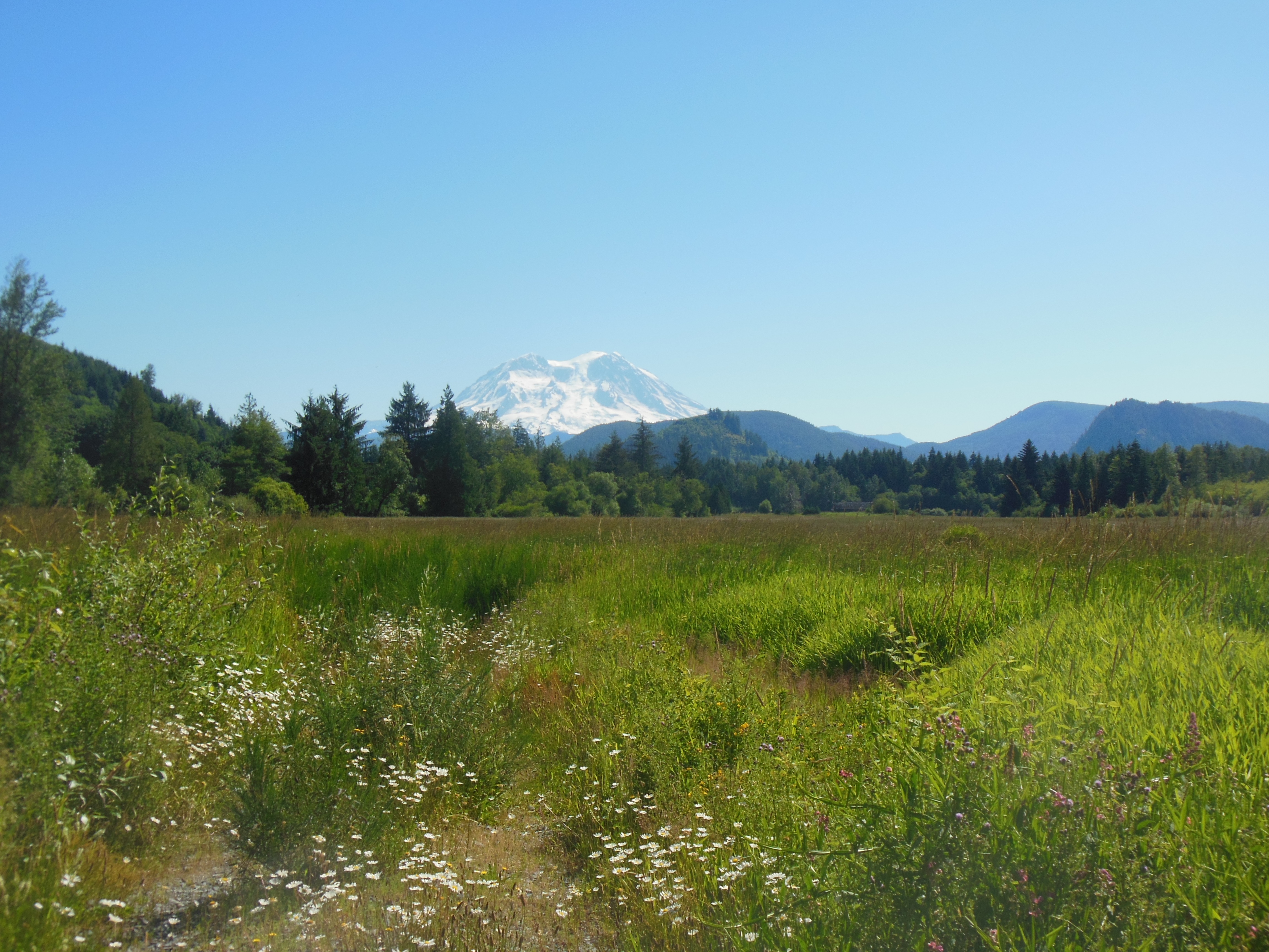
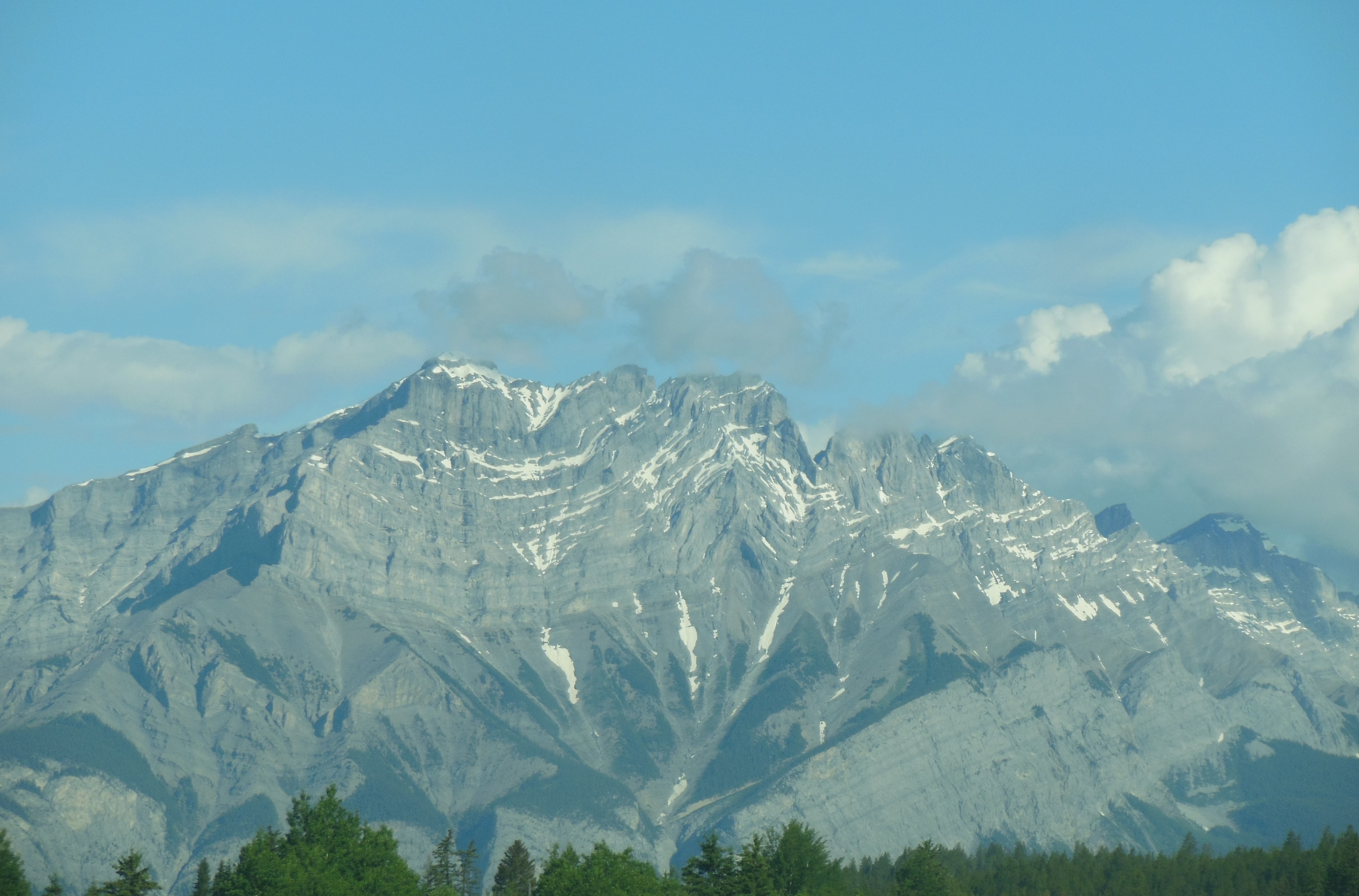
First view of Ranier from White Pass
We entered the mountains through the White Pass Scenic Highway, U.S. Highway 12. It made us think of Minnesota and Wisconsin where U.S. 12 is a major road. This road goes through heavily forested, mountain terrain.
The day had begun hot and sunny in Yakima. As we progressed through the mountains, it became cooler and cloudy. Our first stop was at the Clear Creek Falls overlook. Clear Creek Falls was a pleasant diversion. We would be seeing many more falls as the two days in Mt. Ranier progressed.

Fog at Mt. Ranier visitor center on Friday
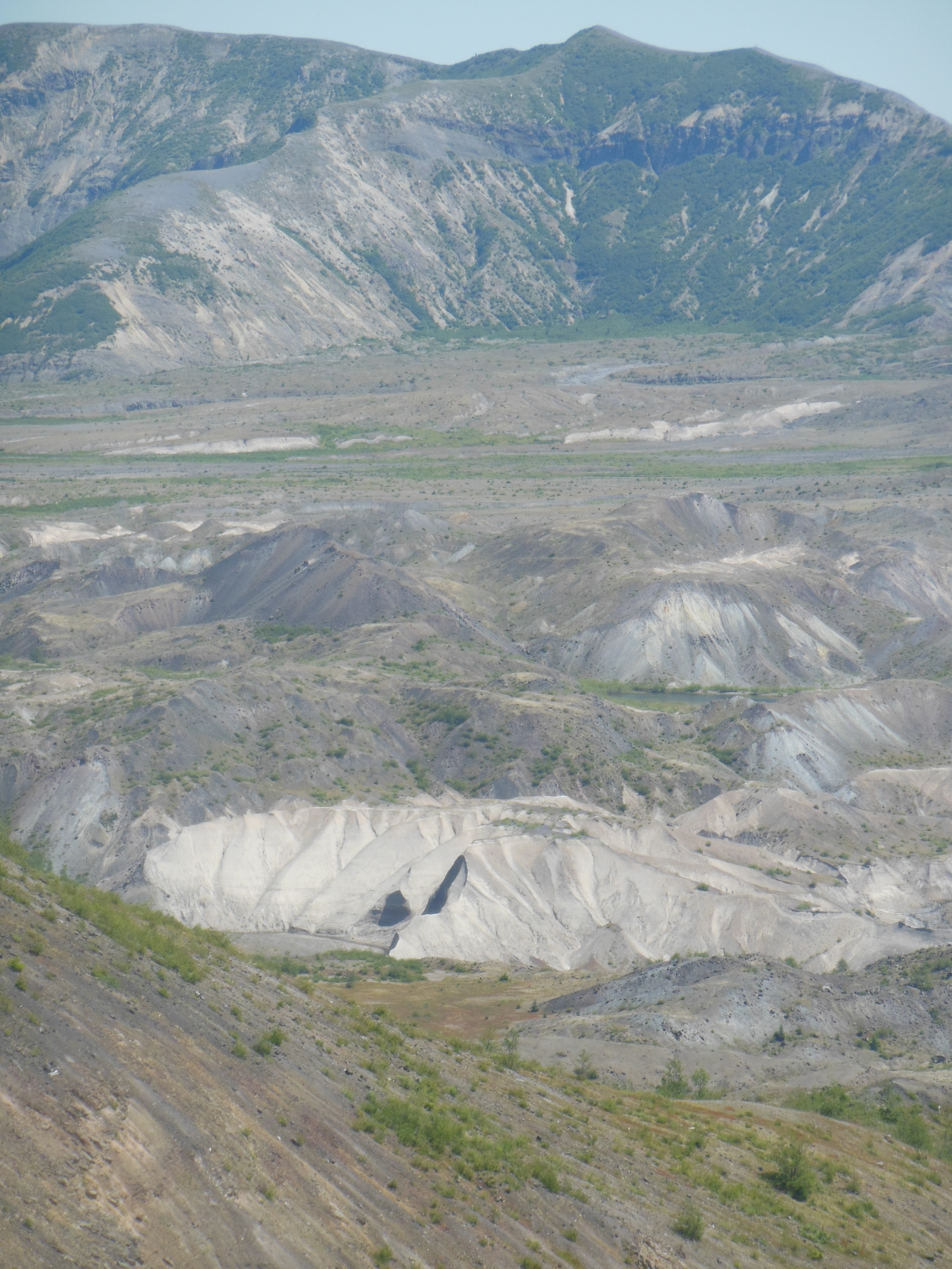
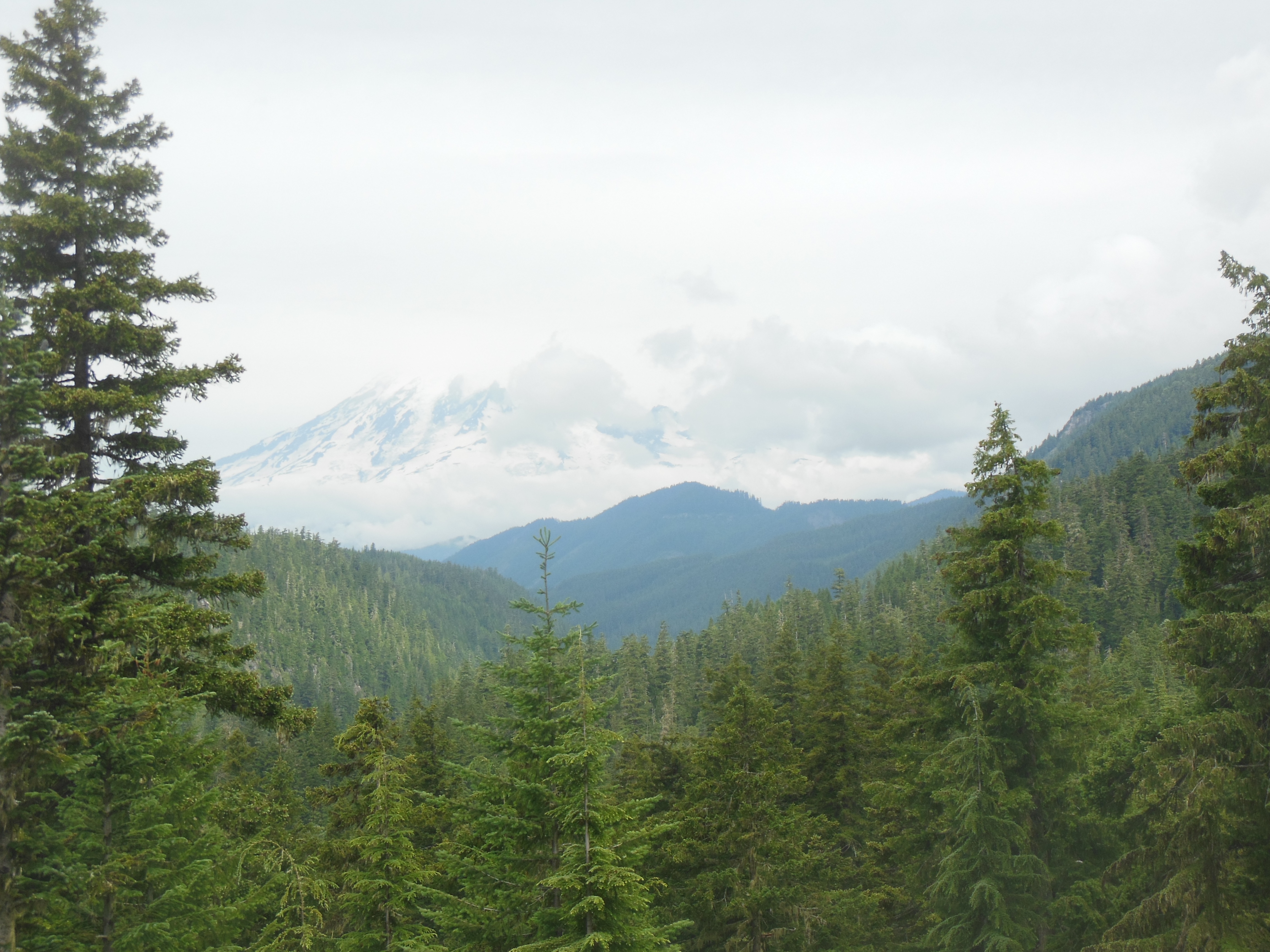
As we got closer to Ranier, the cloud cover was pretty thick. Ranier averages over 120 inches of rain each year AND over 600 inches of snow! That’s over 50 feet of snow for the mathematically challenged. The record snowfall is 93 feet back in the ’70s. So, a bit of cloudiness should be expected. The question was whether we would see any sun. We had difficulty Saturday afternoon even knowing which partially visible peak was Ranier.

On Ranger talk on geology and global warming

Trails partially covered by snow
The park has road construction projects underway. At one of them, the delay was half an hour. We chatted with a man from Hawaii whose home on the Big Island had been destroyed by the lava flows from the volcano there. While waiting, he showed us some of the pictures.
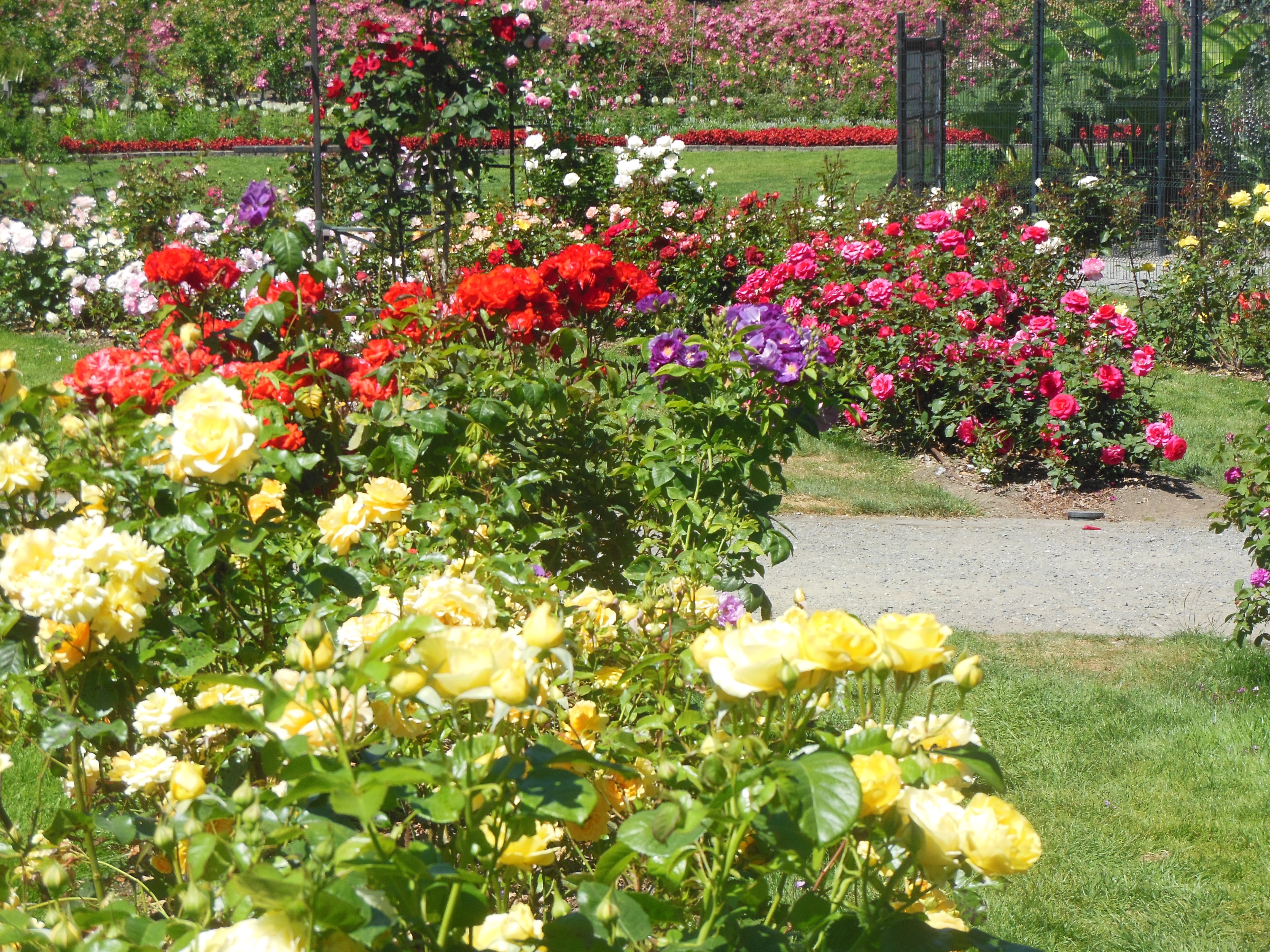
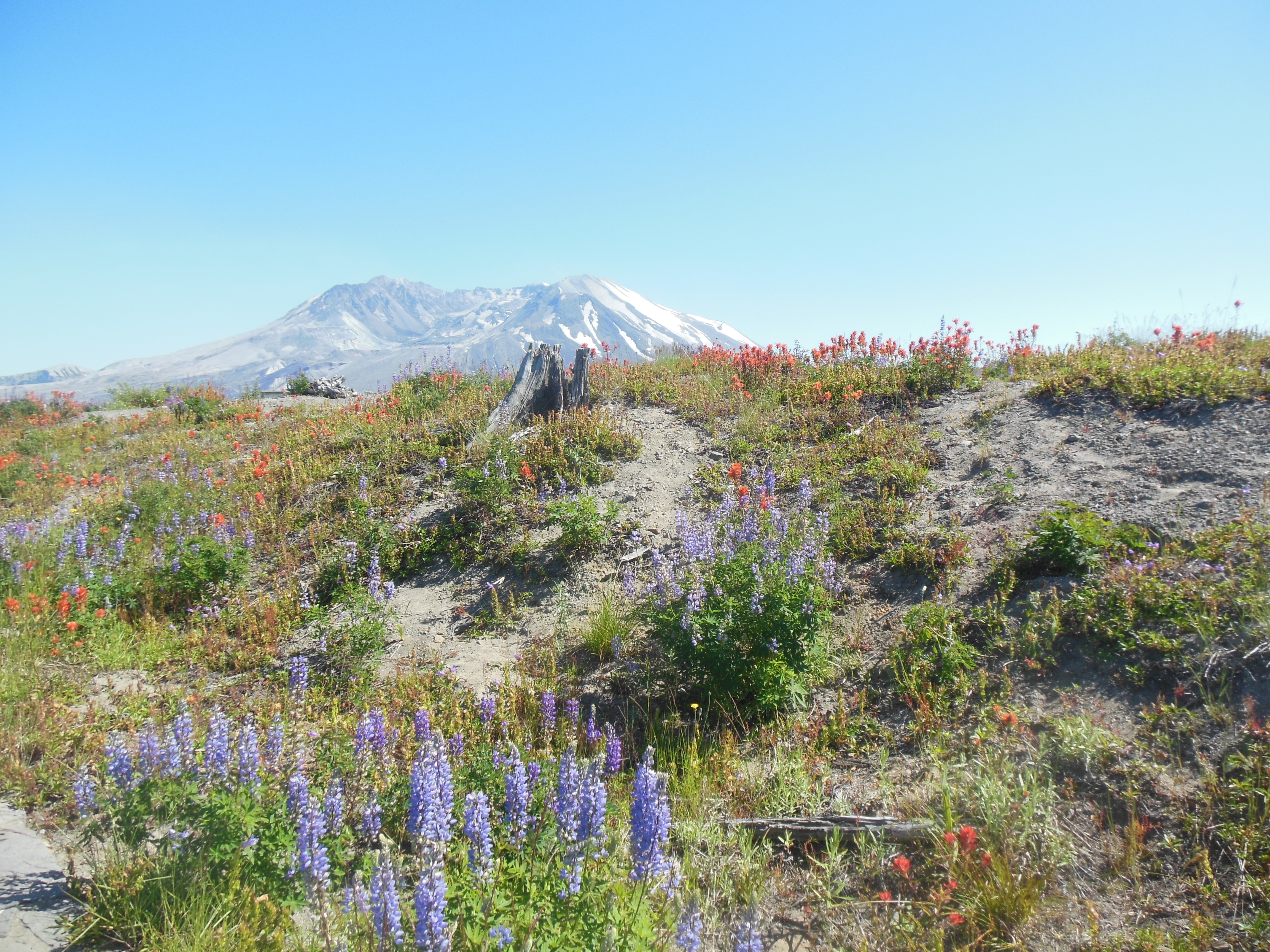
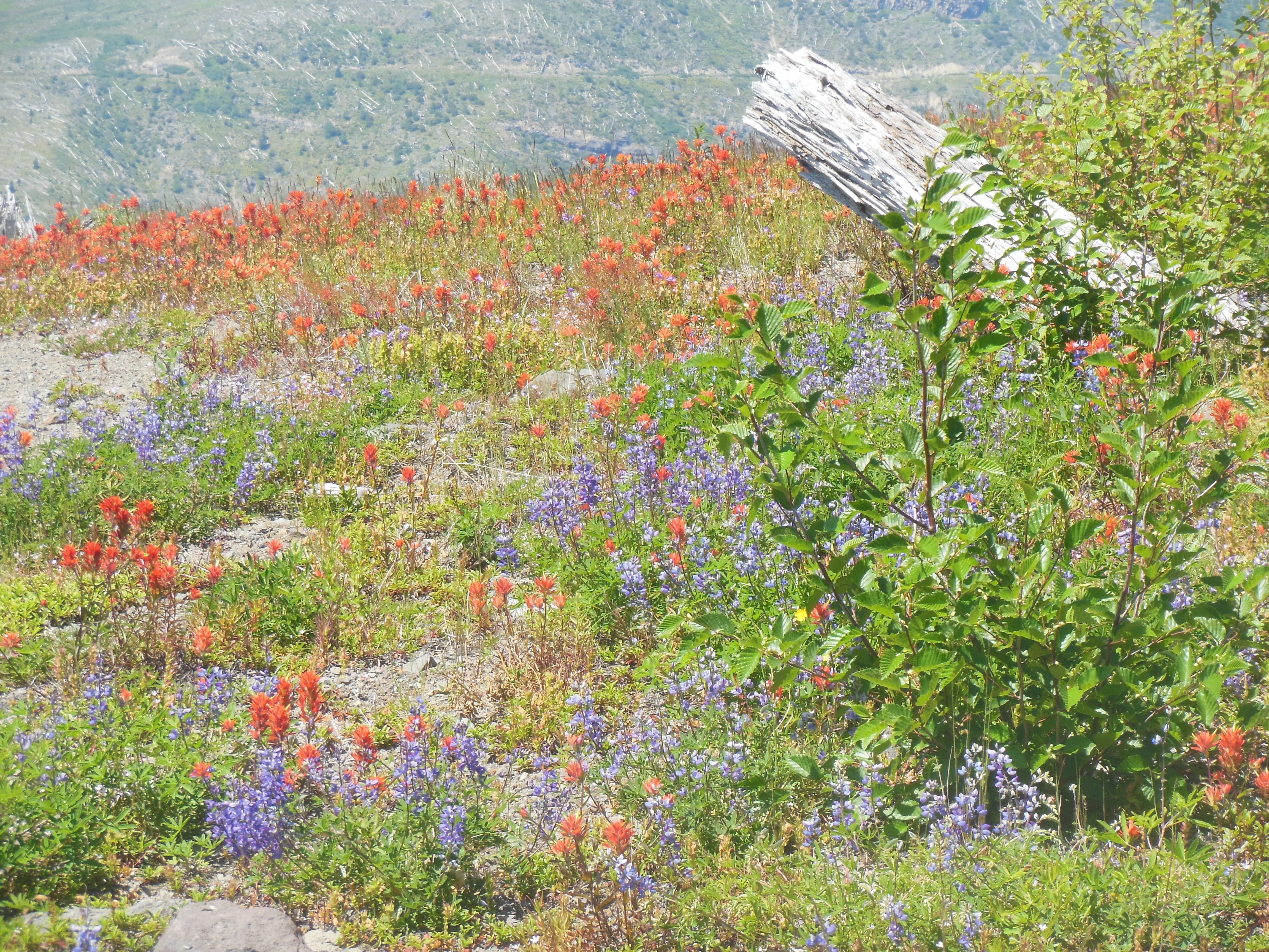
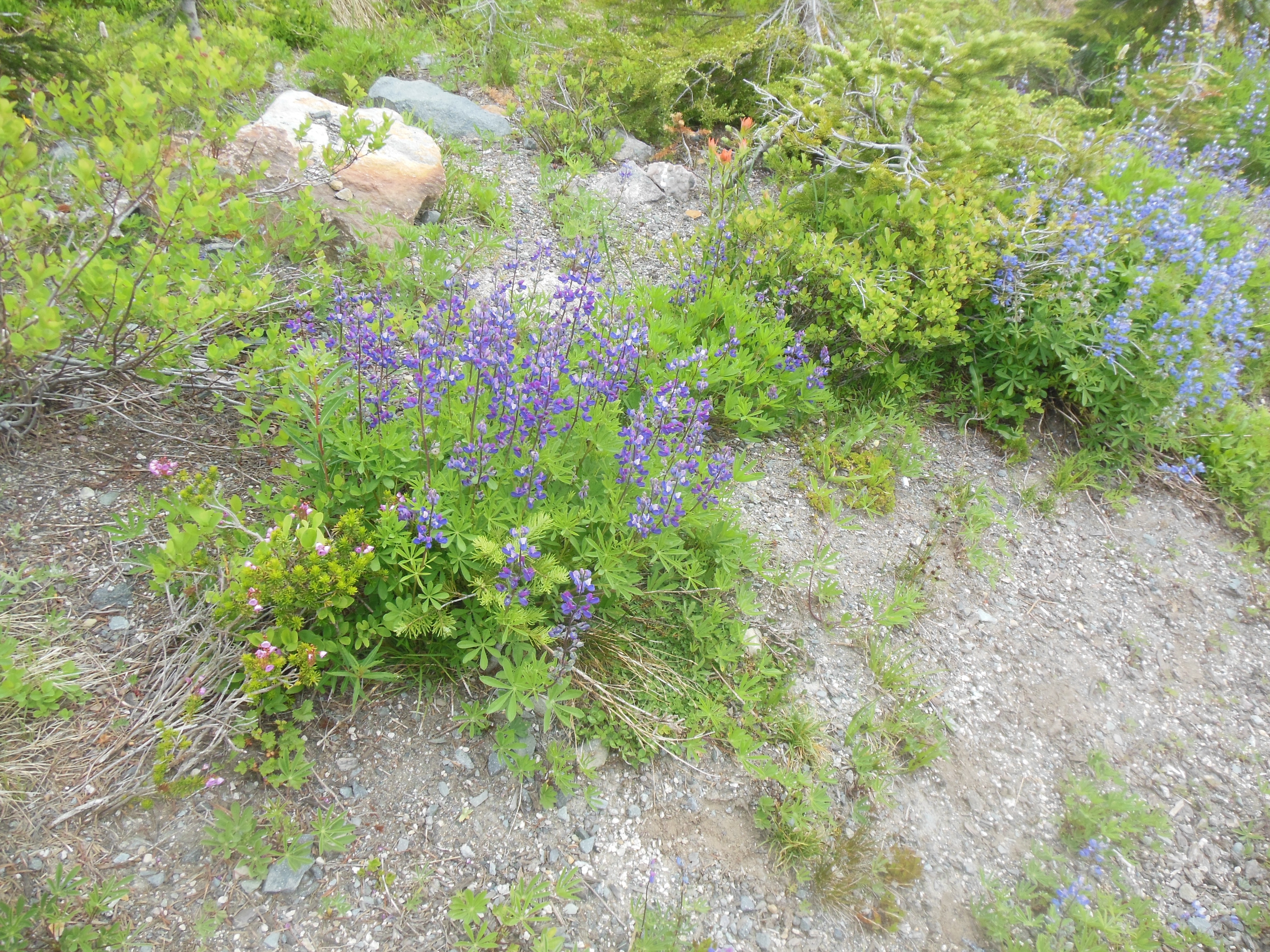
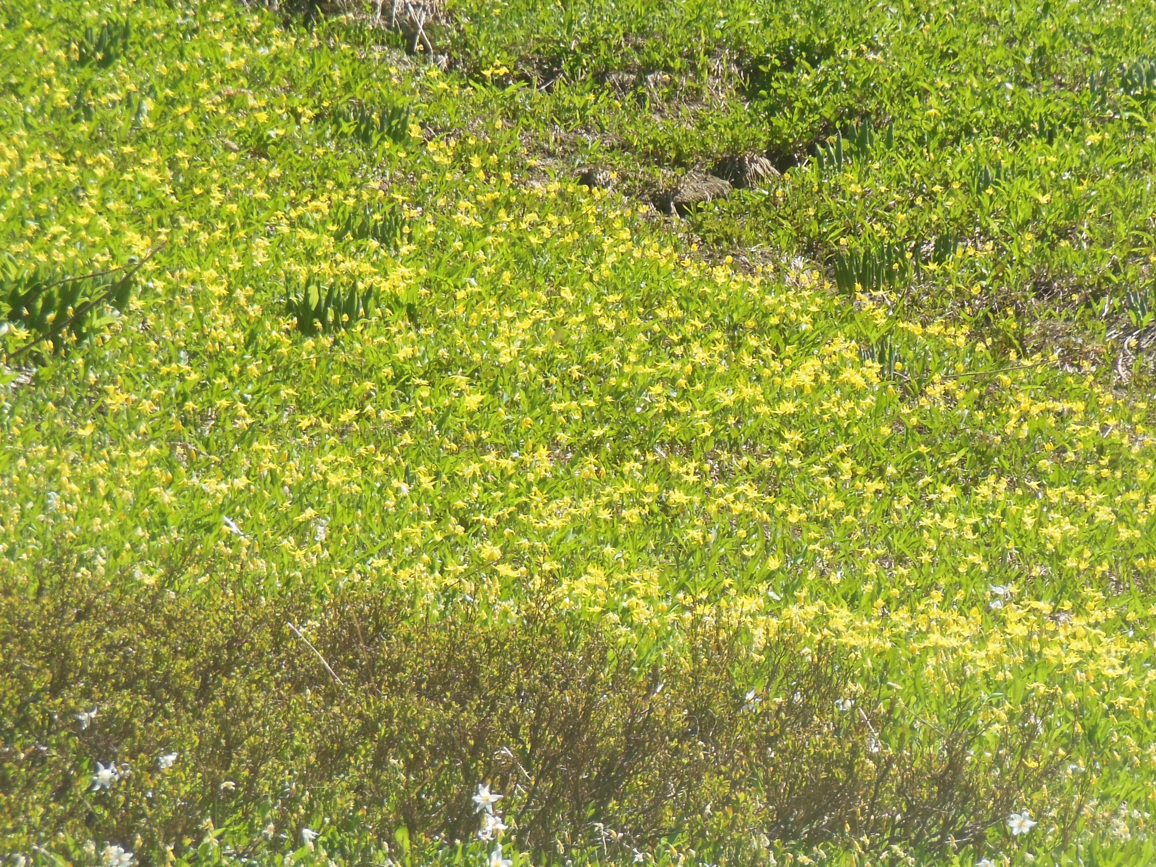
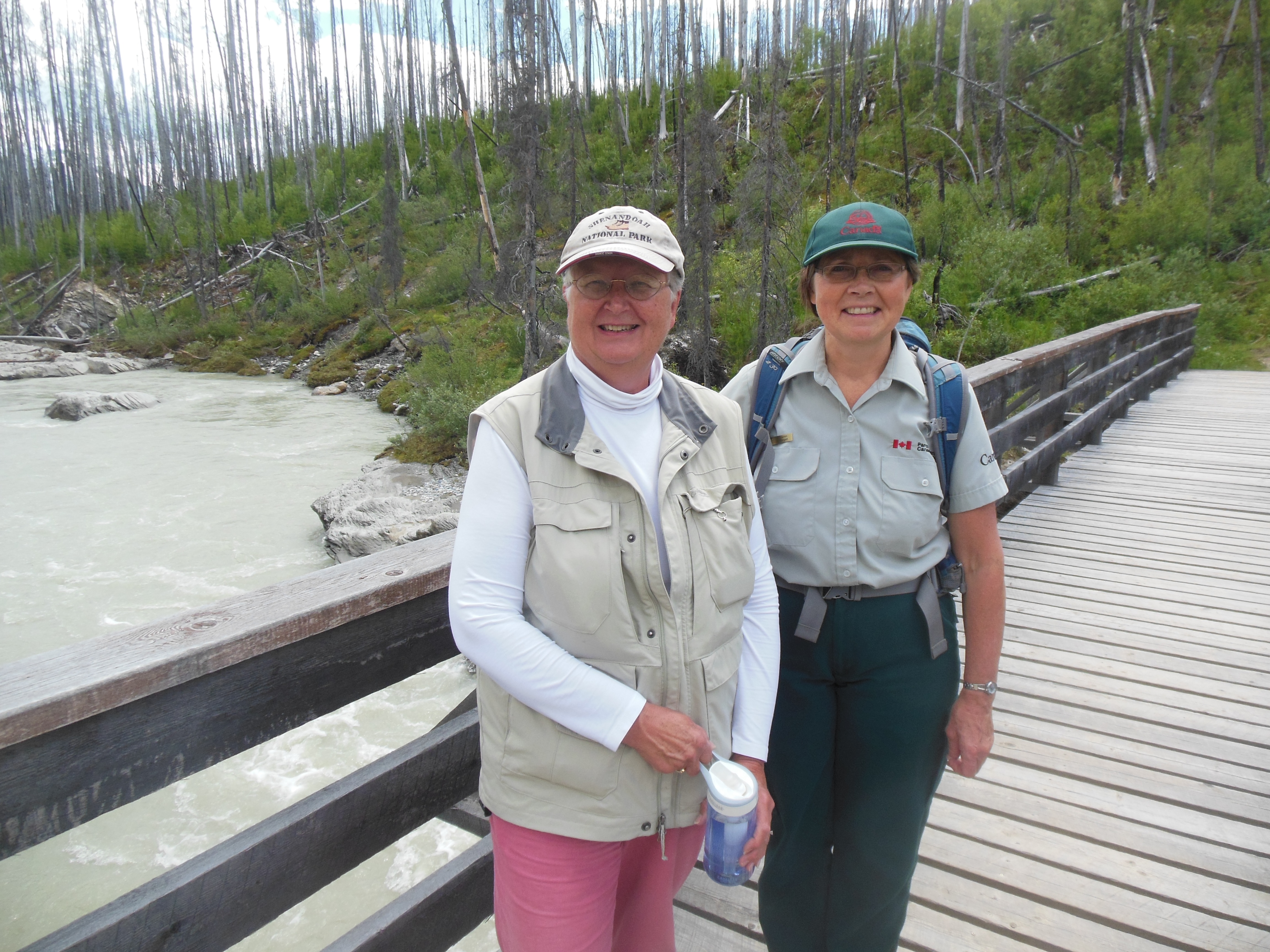
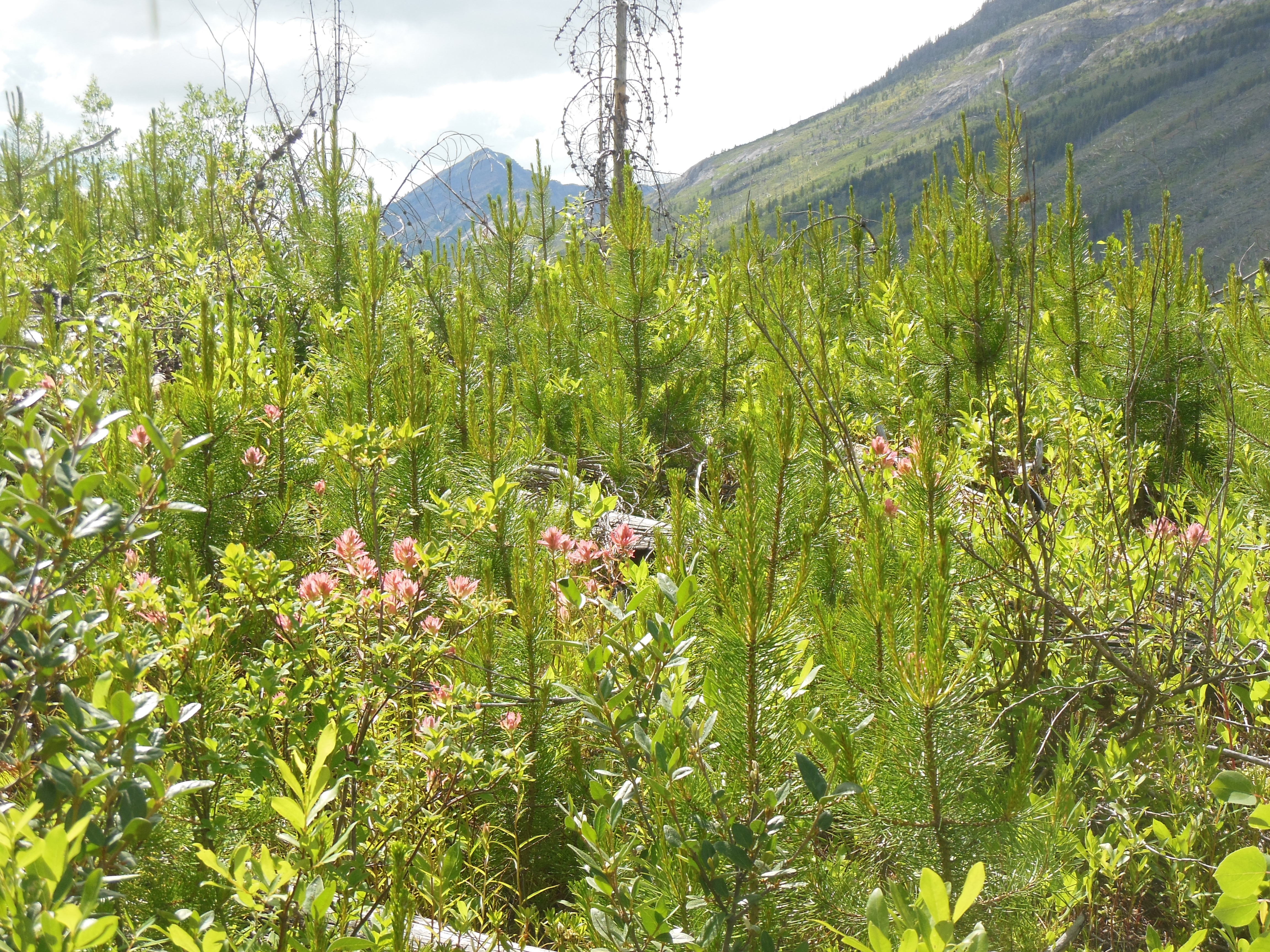
We explored the visitor’s center and took two park ranger led walks Saturday afternoon. The first focused on the wild flowers in the park. Peak wildflower season is late July to early August. The Paradise area of the park is at 5200 feet and is considered a sub-alpine growing area. The flowers are starting to bloom but were not yet at peak. We found the greatest concentration and diversity along roadways where the snow melts earlier and there is more direct sunlight. Along some of the trails you could observe avalanche lilies poking out through the snow.
There is still snow on many of the trails, usually in patches at lower elevations but completely snow covered at higher ones. Some of the serious hikers had skis and hiked up and skied down.
Other hikers make a two day hike to the top of Mount Ranier, going from the 5200 foot elevation at Paradise to the top at 14,200 feet.
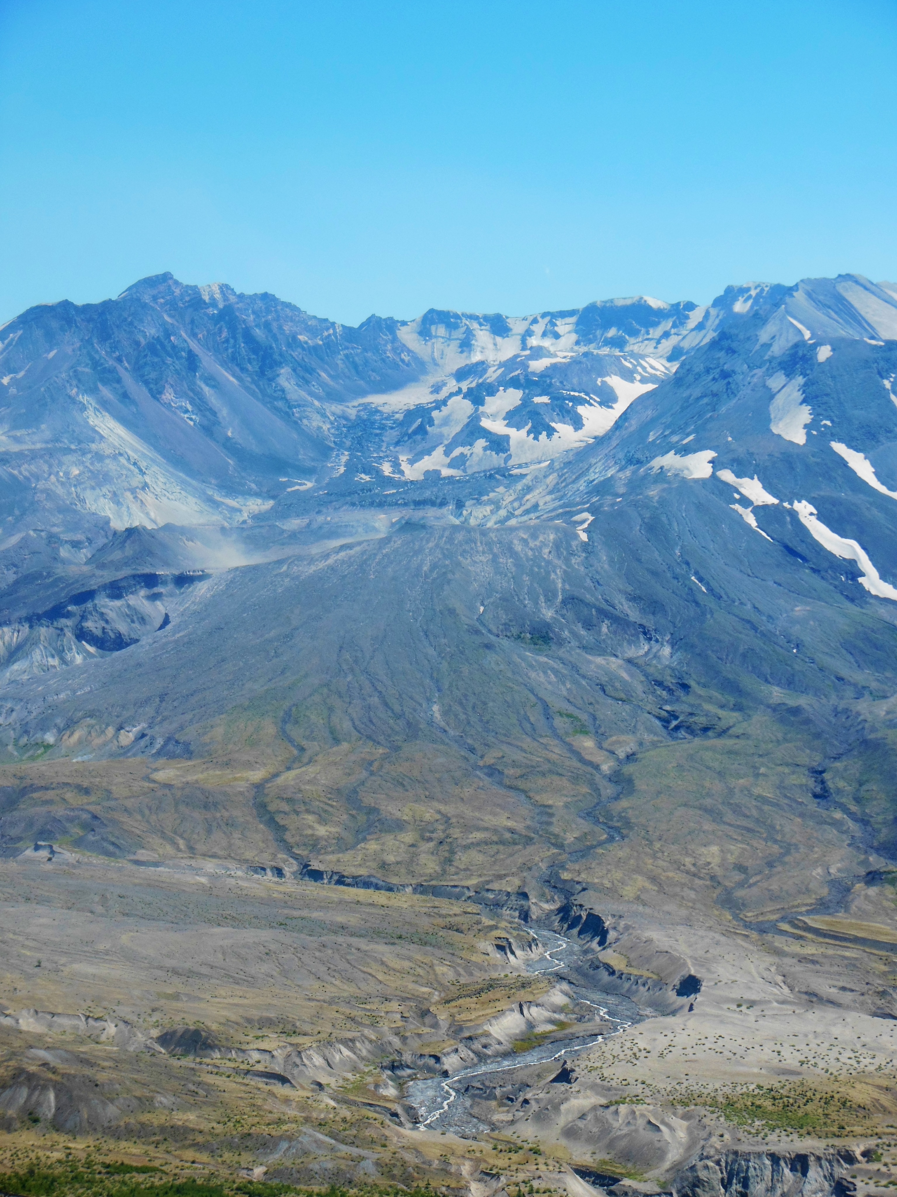
Our second ranger led talk focused on the mountain’s geology and glaciers. The snow limited the area the group could walk to. The fully snow covered areas were not a good hike but other trails only had snow on 10-25 foot sections and we hiked those. A number of people dropped out as they were not prepared to walk on snow.

Avalanche lilies peaking thru snow

Wildflowers
Mount Rainier has 26 glaciers on it, the largest number for any one single mountain in the lower 48 states of the U.S. One member of the group did get into a “discussion” of whether global warming was really valid since no real science backs it up. “Global warming was invented by liberals when communism was overthrown.”
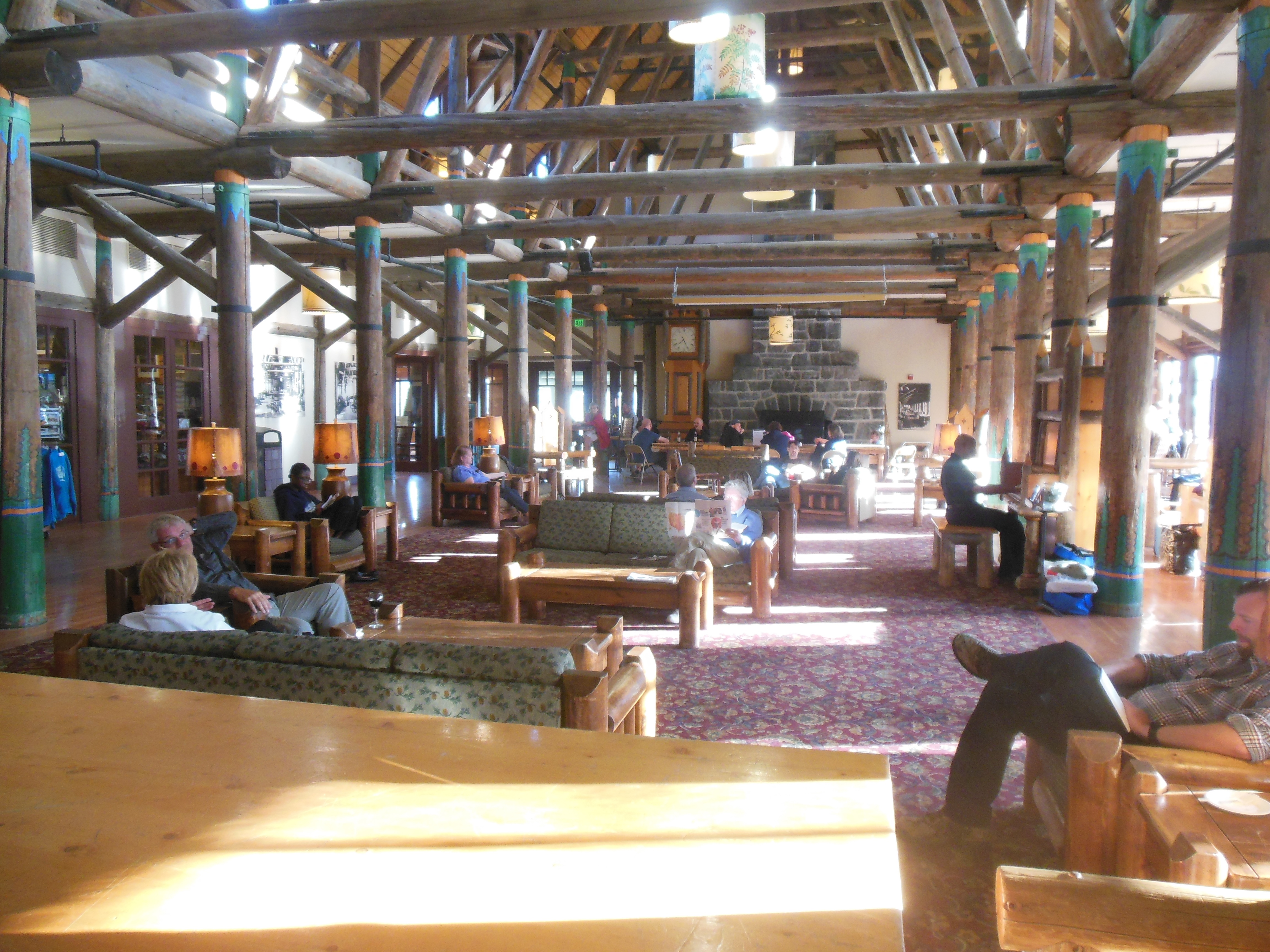
After the hikes, we checked into Paradise Inn. Paradise Inn was constructed similar to the other great park lodges of the West. Massive wood beams, handcrafted woodwork, large stone fireplaces, very small lodging rooms, no TV and Internet. It is only open mid May to early October.

Paradise Inn lobby
The lobby has a great room with fireplaces at each end. Due to the lack of electronic entertainment, the lobby is occupied each evening with people reading, playing cards and board games, and just socializing. A piano player plays calm music from 5 to 9 each night–7 days a week and he does not take a break during his four hour stint.

Friday sunset as skies start to clear
As dusk started to settle in around 9:30, we attended our final ranger session on astronomy. The skies had cleared enough that the sky was visible and Ranier was starting to not be blocked by clouds. The ranger had a telescope out and we saw the rings of Saturn and the moon close up. I did not remember Lou’s magnification but the sizes seemed similar. This one had an autofocusing feature that allowed him to enter the solar feature he wanted to observe and the telescope automatically found it.
July 13

Saturday morning walk by Ranier
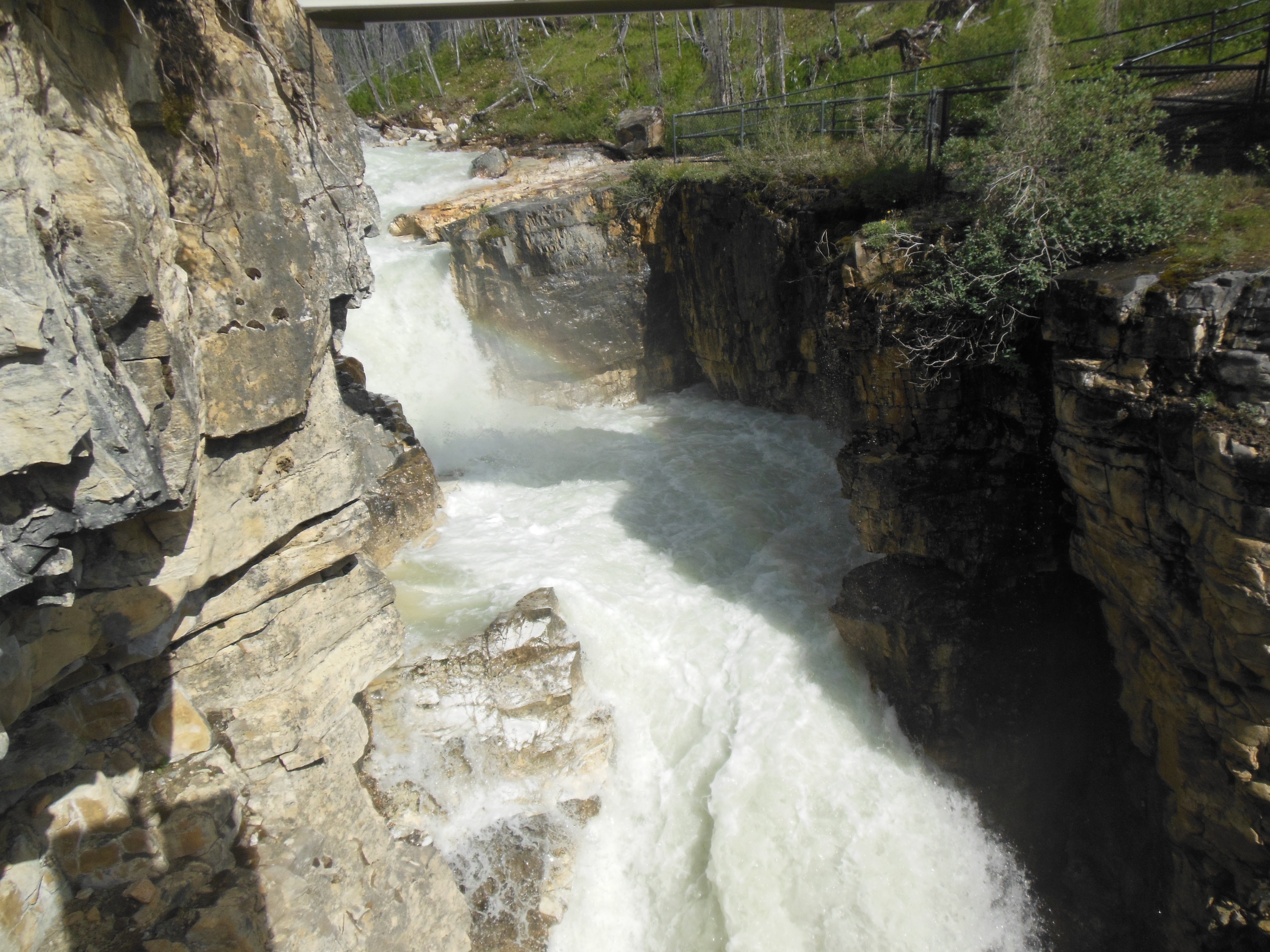
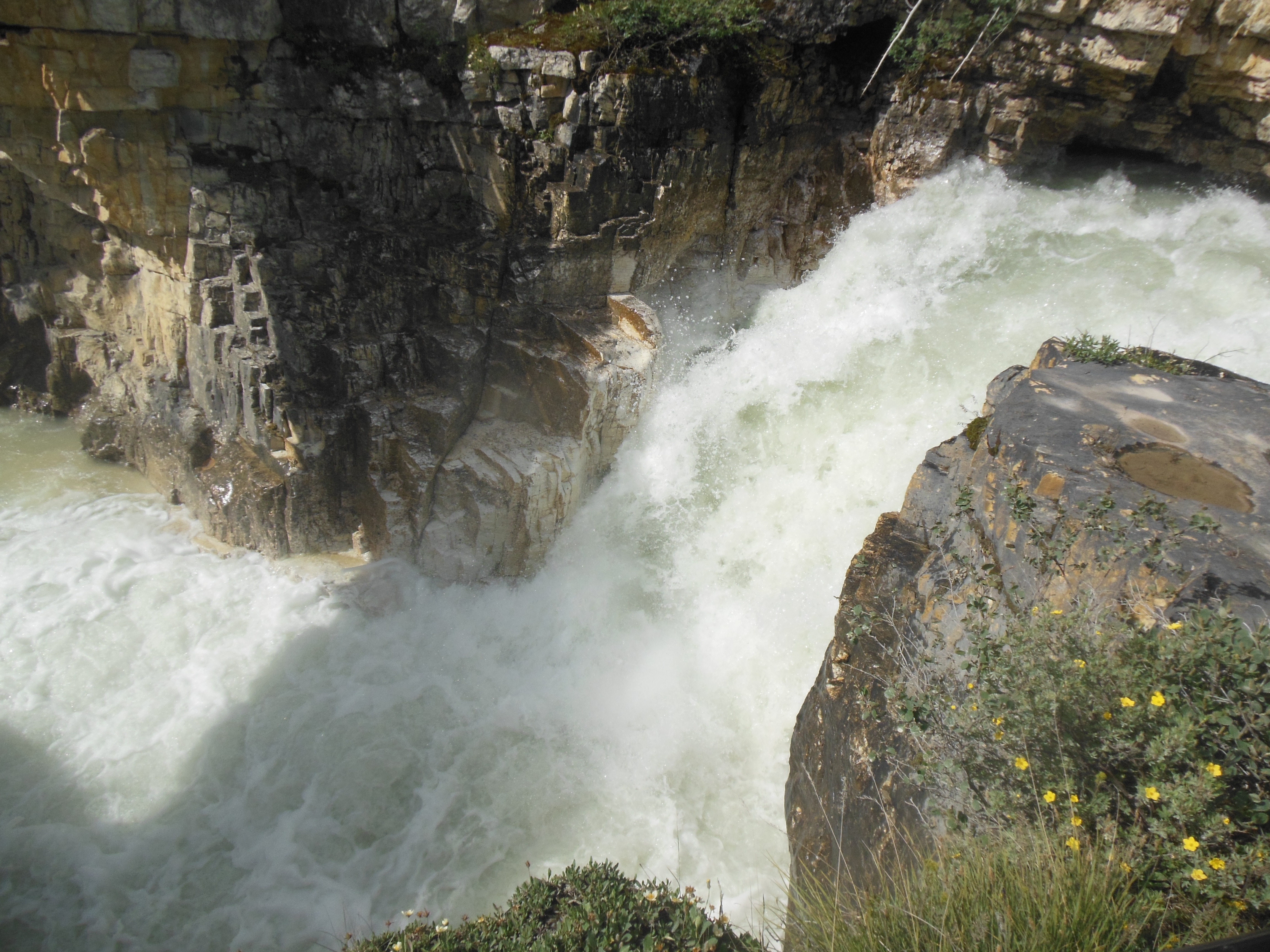
Saturday morning we were up early and walked to Myrtle Falls, close by the Inn. The flowers were starting to open up and the skies were clear. We drove to Narada Falls and took some pictures there before we headed out to Christine Falls.

Narada Falls

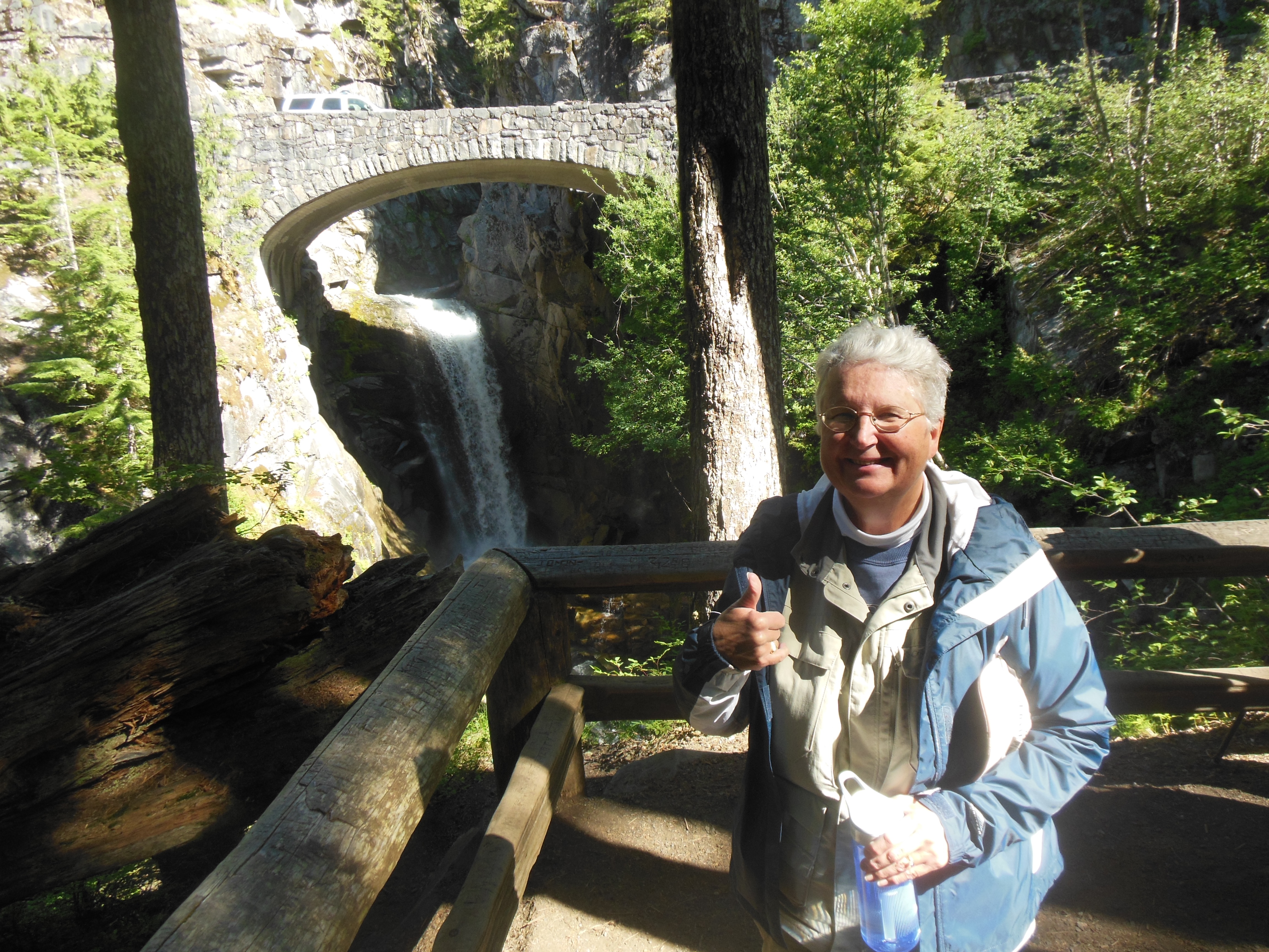
Christine Falls
As is usual, one can meet a number of people simply by asking if they want you to take their picture (so the photographer can be in the shot) or smiling and asking where people are from.
I think Chris has taken photos on 80% of all camera models made.
At Narada Falls we met a guy from the DC area who was riding his BMW motorcycle around the west. He too had observed the phenomenon of wild flowers blooming close to the road and was thinking or writing a book titled “20 feet from the Edge”.

Field of flowers on Sunday

Wild flowers
We took a break back at the lodge area and the increase in people from Friday to Saturday was dramatic. Luckily people who stay at the Inn get preferential treatment or we would have had to walk blocks from the overflow parking that flows down the road exiting the lodge and visitor center.
We walked some more in the afternoon and Saturday evening Chris even played cards. She beat Ed at rummy.

View of Paradise Inn

Close up of some glaciers with hikers paths on them
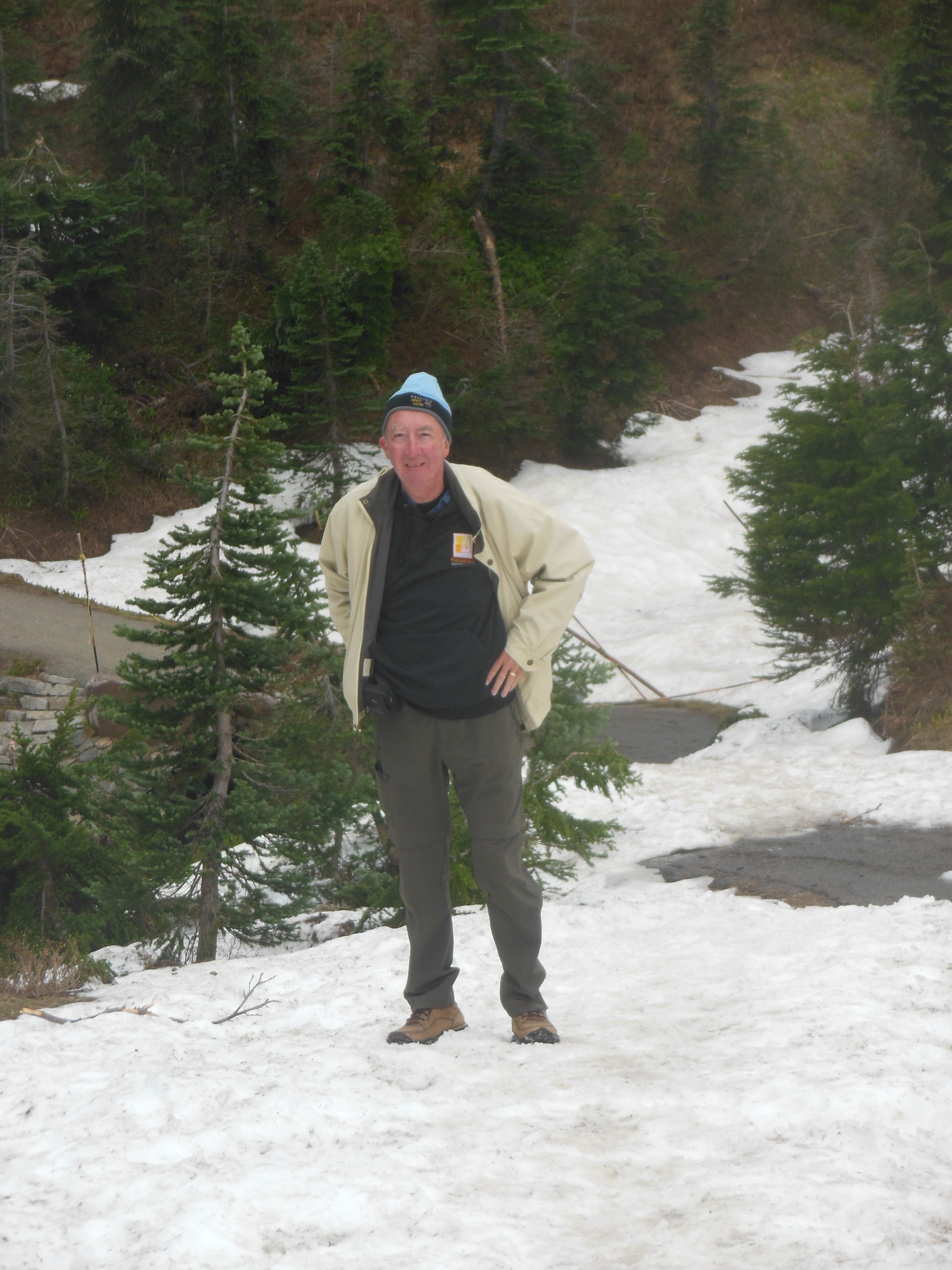
Ed and Chris July 15 8 am


Recent Comments