
Monday, Oct. 28, Mountain View, AR
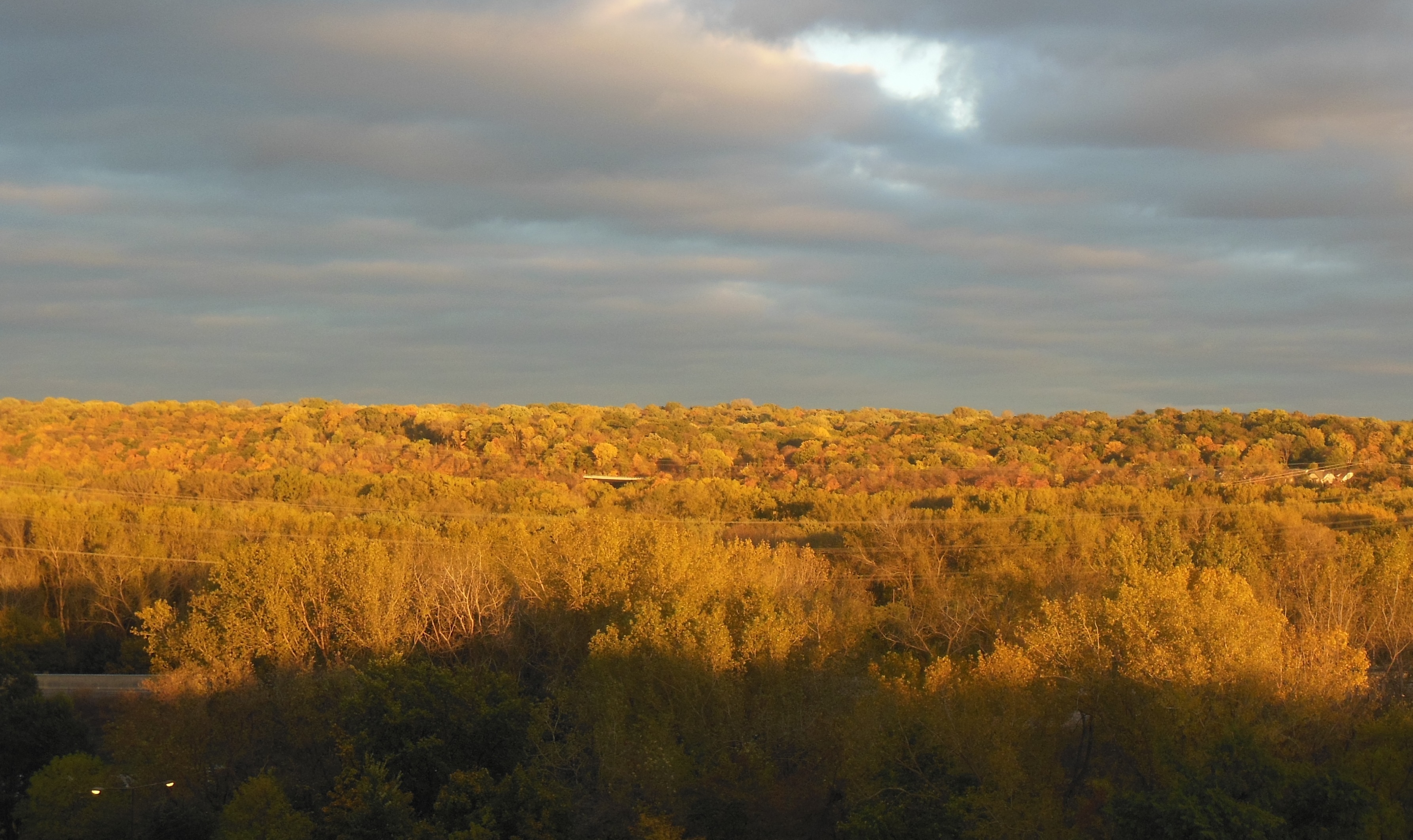
South central Missouri was mostly a mystery to us this morning. We drove from Lake of the Ozarks to Mountain View Arkansas. The fog was heavy until about 11 AM, and intermittent for another hour thereafter. We were able to observe that one highway was named the Fox Trotting Highway and we drove by one livestock auction house. The fog caused us to vacillate back-and-forth about which driving option to use. We had planned to take a ferry in northern Arkansas. However, it would not be running if the fog was heavy.

Ferry departs without us

The “ferry”
As we approached the cut off where we would decide on the option to take, we decided to take a chance to go with the ferry. We arrived at the ferry landing about three minutes after it had departed. There is only one ferry (run by the AR Dept. of Transportation) going back-and-forth and the option to double back was not realistic. So we waited. By this point, the sun was out and made for a pleasant day.
As the ferry returned, we noticed that it was not so much a ferry as a barge pushed by a tugboat. The barge appeared capable of holding 6 to 8 vehicles.
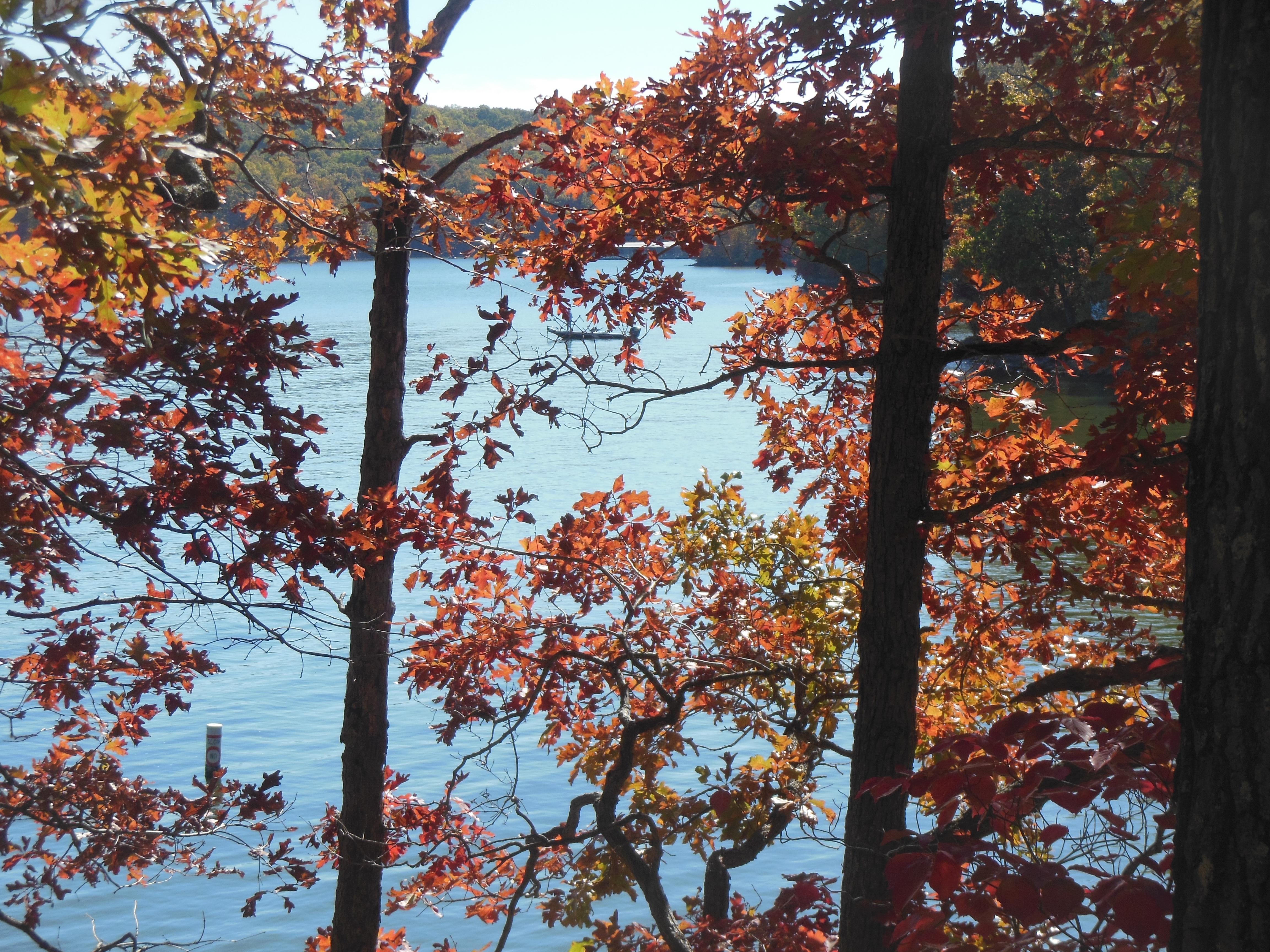
We made it safely across Bull Shoals Lake. The lake was another long lake created by a dam on the White River in northern Arkansas.
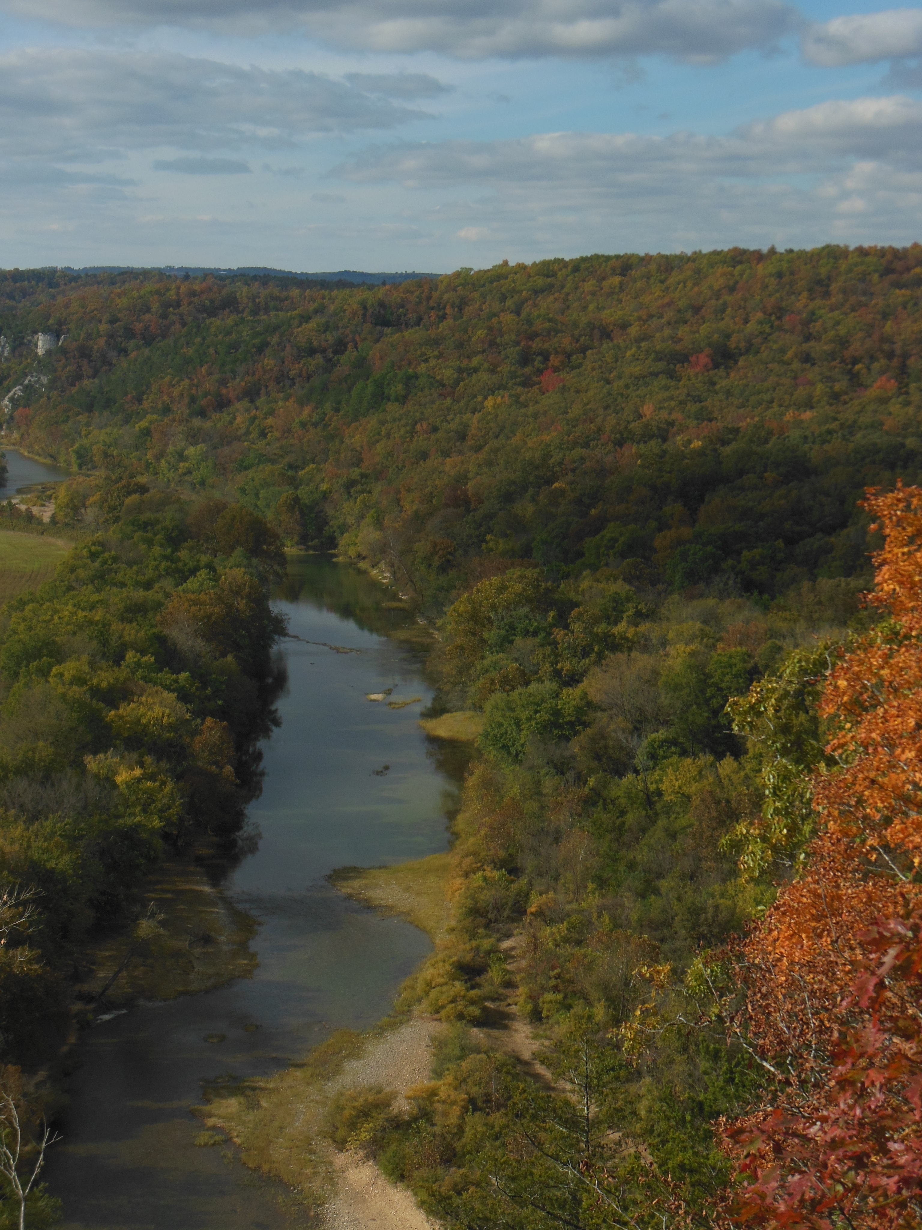

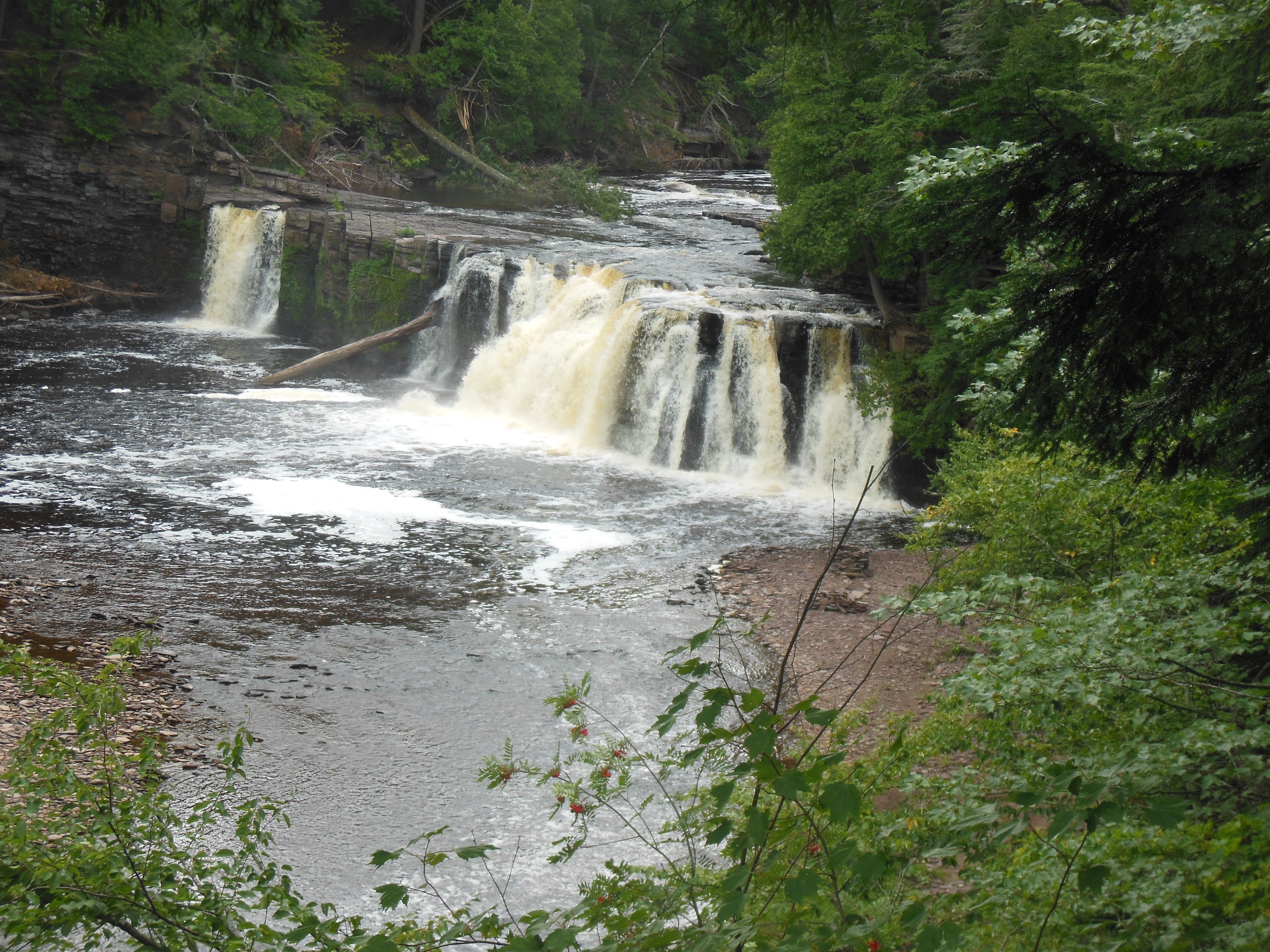
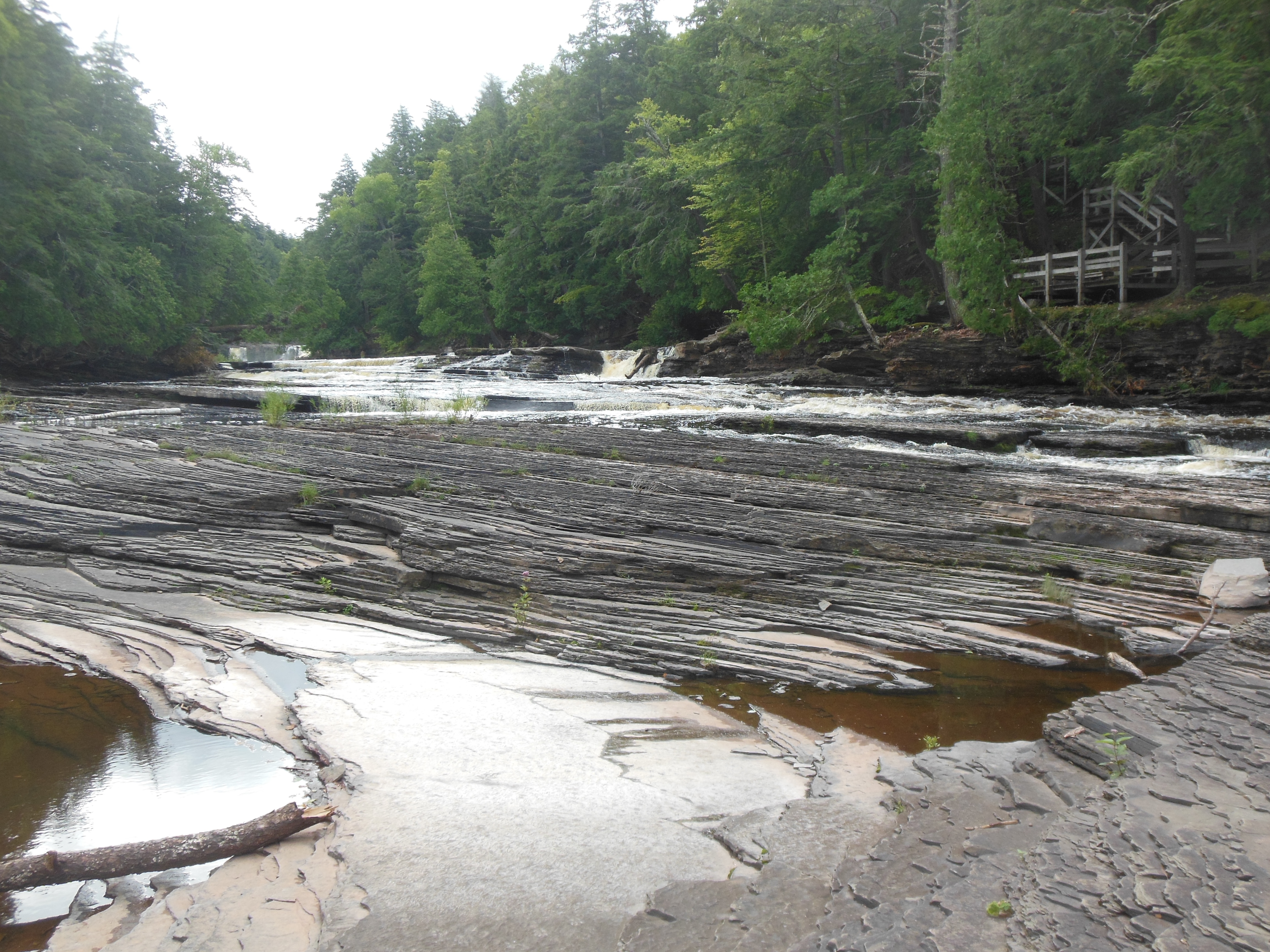
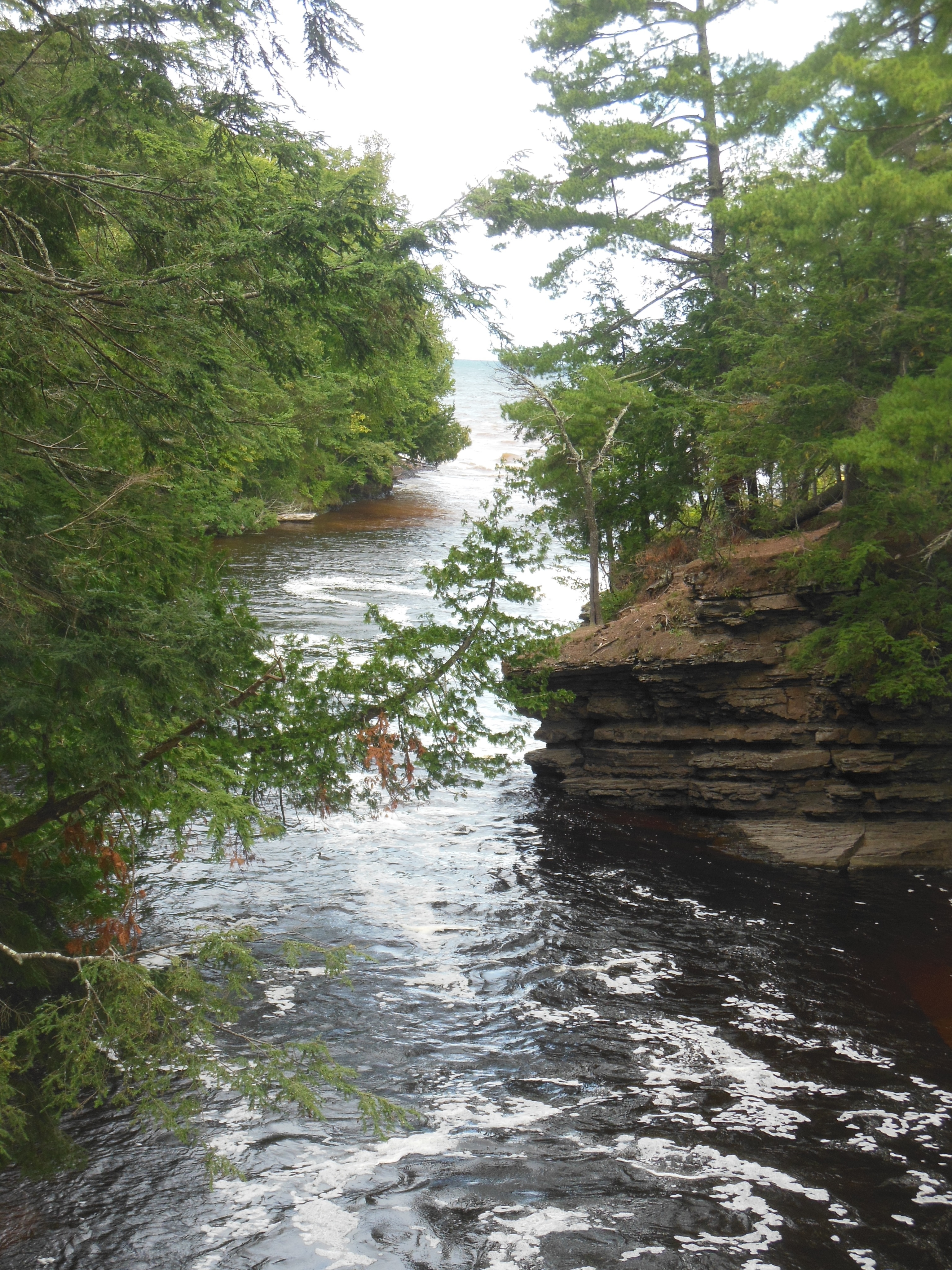
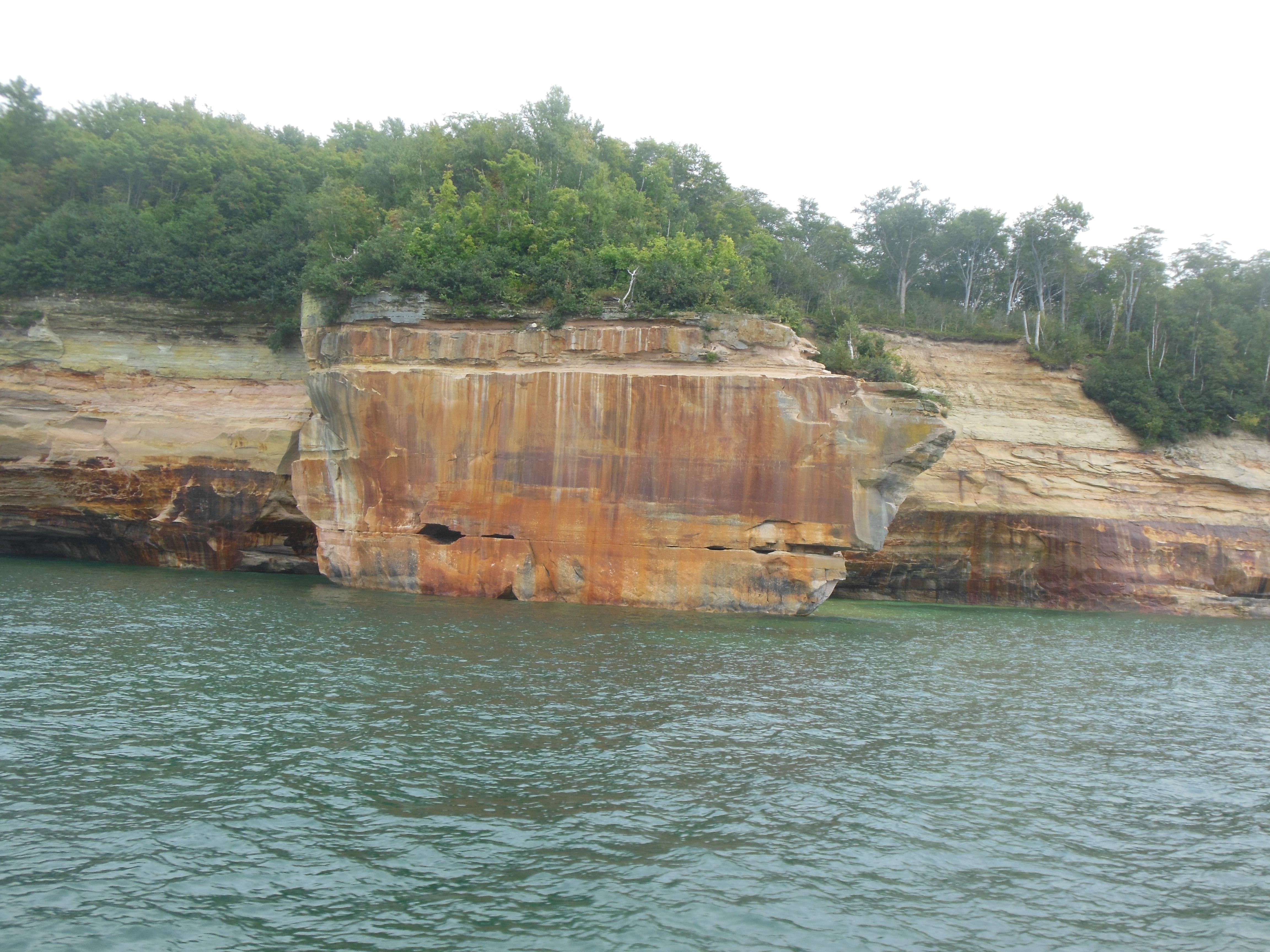
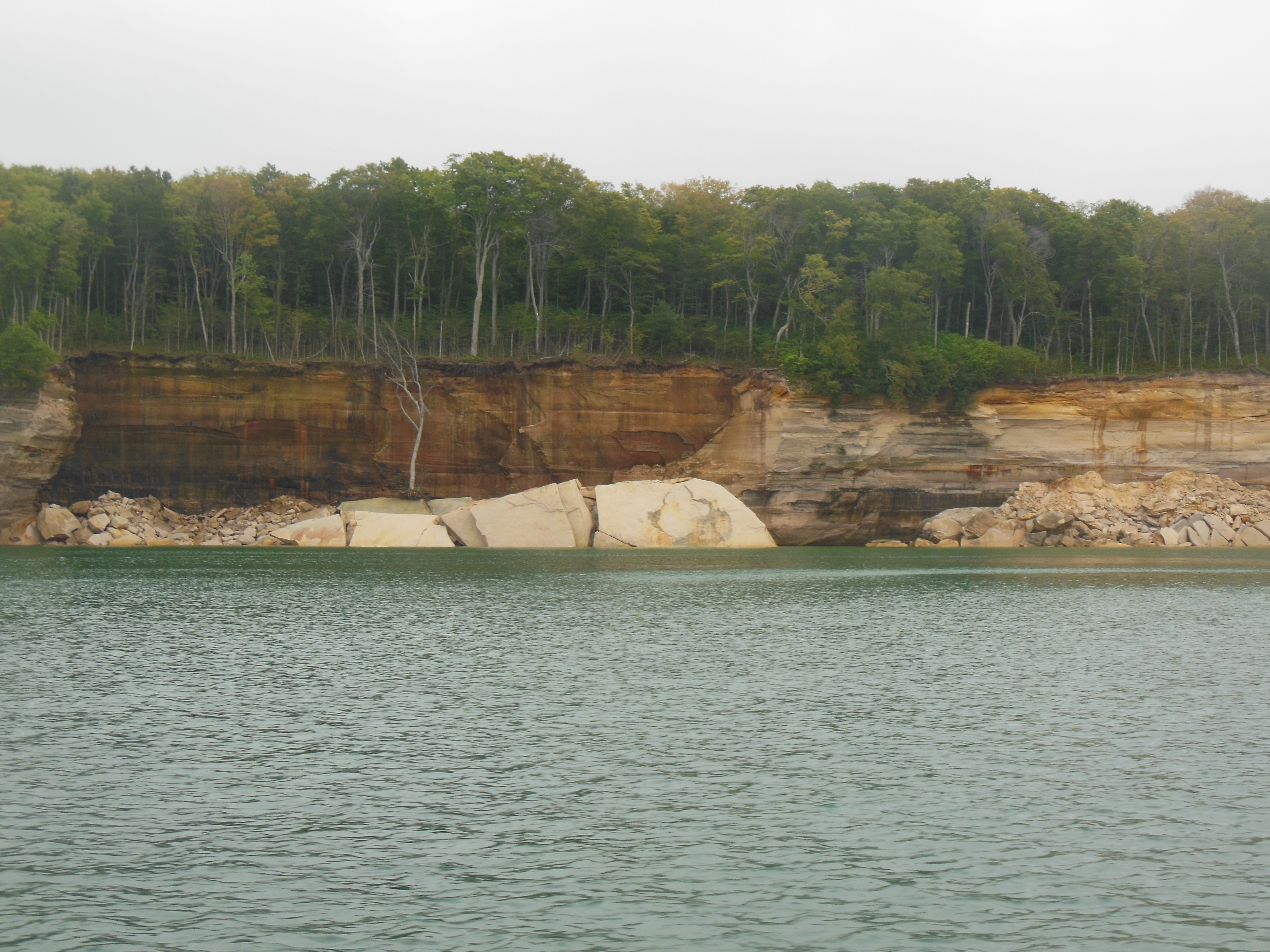
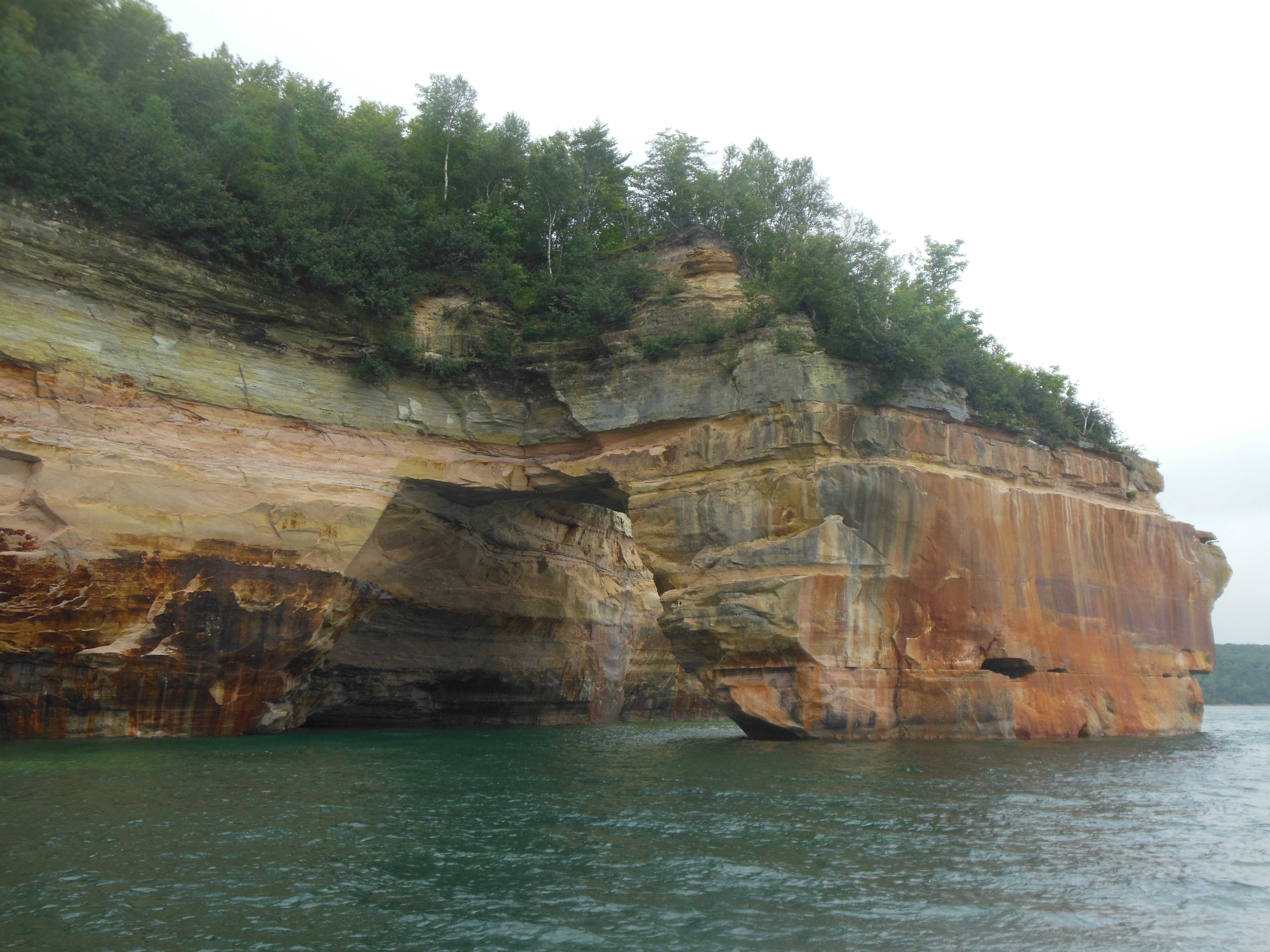
Hiking at Buffalo National River
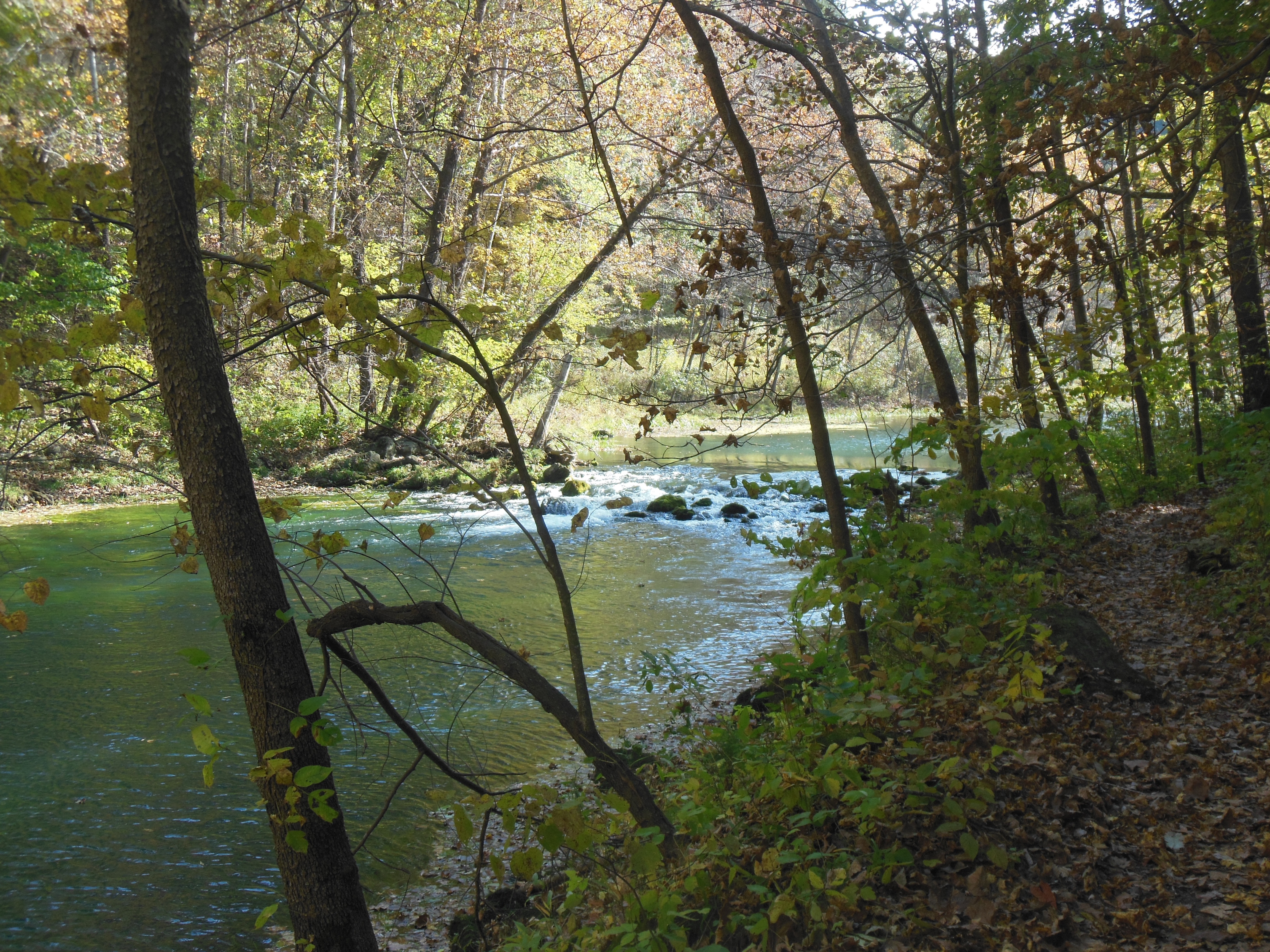
We drove through rolling hills in Northern Arkansas. The fall colors were better here than they were in Missouri. Our second stop was the second US river designated as a national river. The only two rivers are the New River in West Virginia (which we saw in April) and the Buffalo River in northern Arkansas. At the Buffalo National River, we hiked to two overlooks. Canoeing was not an option. Now that we have seen the Buffalo, we have visited both of them.
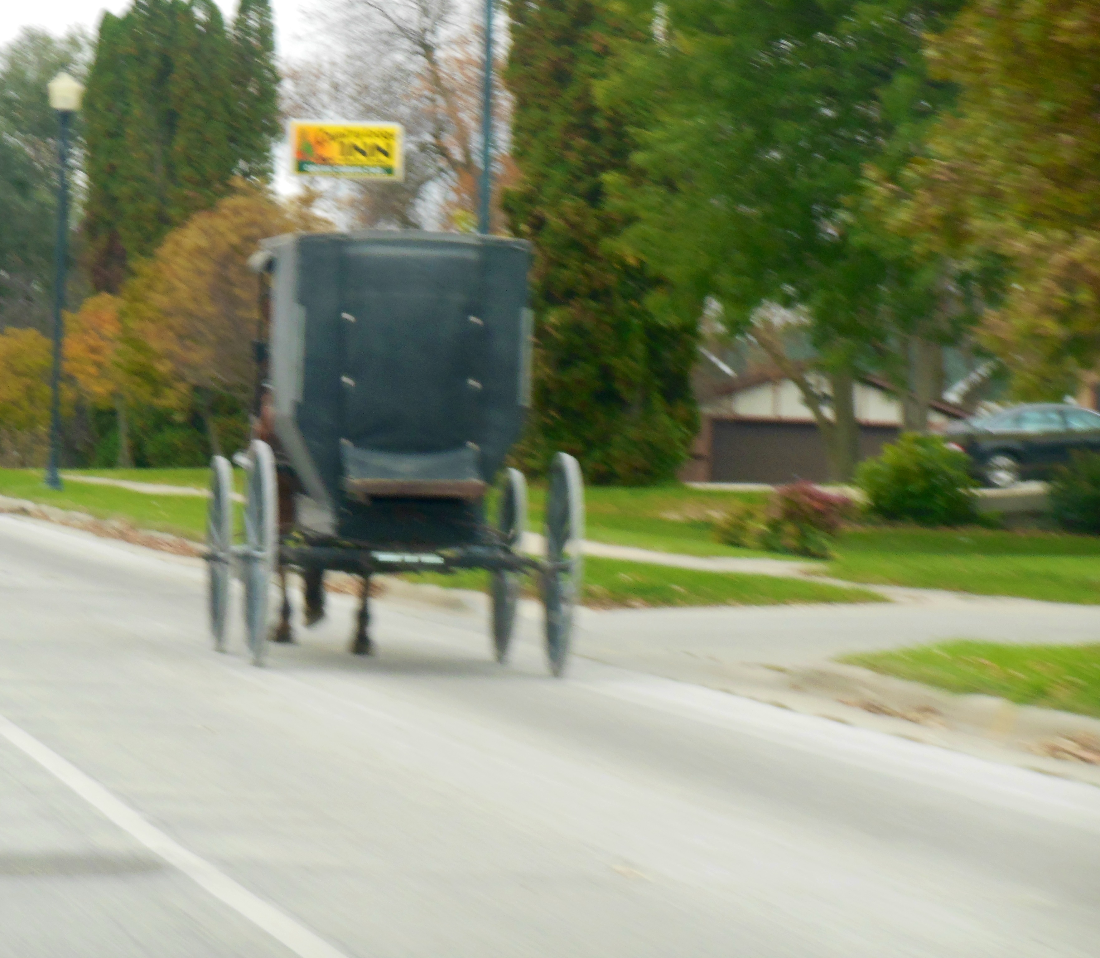
Our drive to Mountain View occurred almost exclusively on two lane, curvy roads. Looking for something to eat, we stopped at Leslie, Arkansas. Motto: one of the best kept secrets in Arkansas. I think there is a good reason it is a best-kept secret. But the shopkeeper at the store we visited was extremely pleasant and informative. He helped us understand why all the restaurants in town were closed at the moment–it is Monday, they are only open for lunch, etc.

Driving a back road at Buffalo River
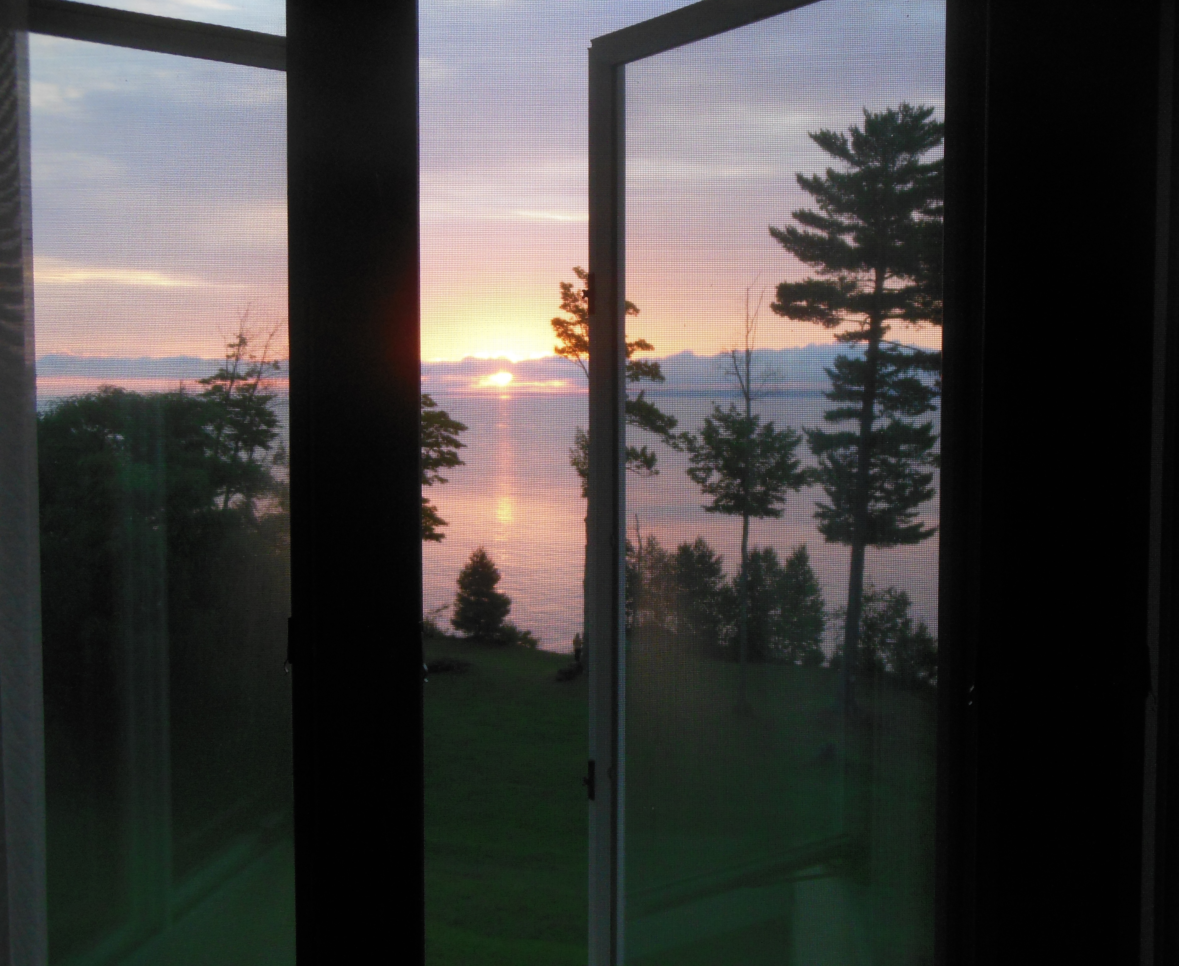
Our lodging is at the Ozark Folk Culture State Park. Tomorrow we will visit the arts and crafts village here and go to the Blanchard Springs Caverns run by the Forest Service. The caverns were on our plans for today but the weather was decent today and likely to be raining tomorrow so hiking seemed better than caverns today.
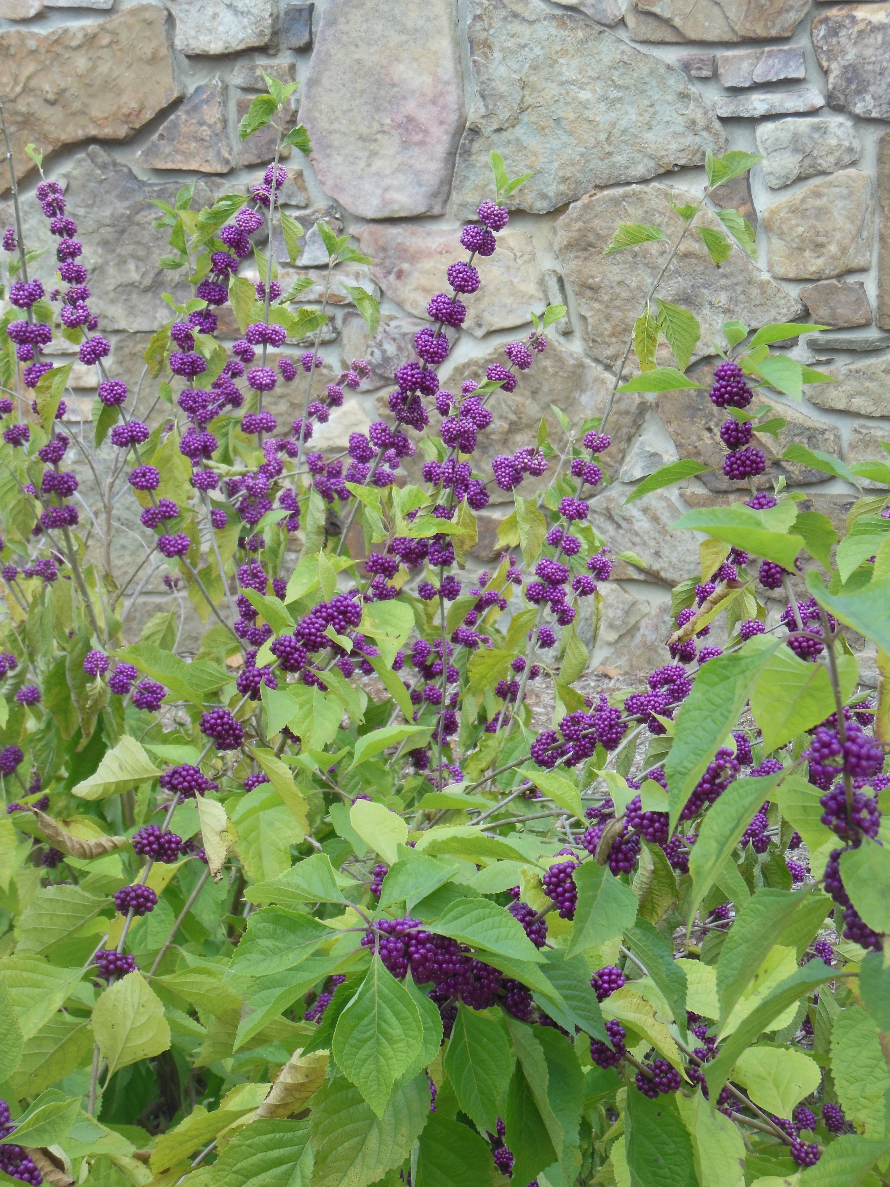
Beauty berries in the Ozarks
Dinner at the restaurant at the park was local food: ham and beans, chicken and dumplings, blueberry cobbler, turnip greens, fried okra and cornbread for $21.
Not real exciting but some days are like that.
Ed and Chris Oct. 28 9 pm


Recent Comments