
Quebec City, Tuesday, September 16
Our day long walking tour of Old Quebec, located within the walls of the city, was bookended by military history and stories of valor and defeat. In between were stops for architecture, religion and food.
Walking Old Quebec
It turned out to be a glorious day, sunny and pleasant. Fine day to work hard walking around Old Quebec. Breakfast was at a small restaurant a few blocks from the Hilton, we were the first ones there, it does not open until 8 AM. I tried the hot chocolate instead of milk. This does not seem like a milk city. The meals were tasty and hearty, a good start for the day.
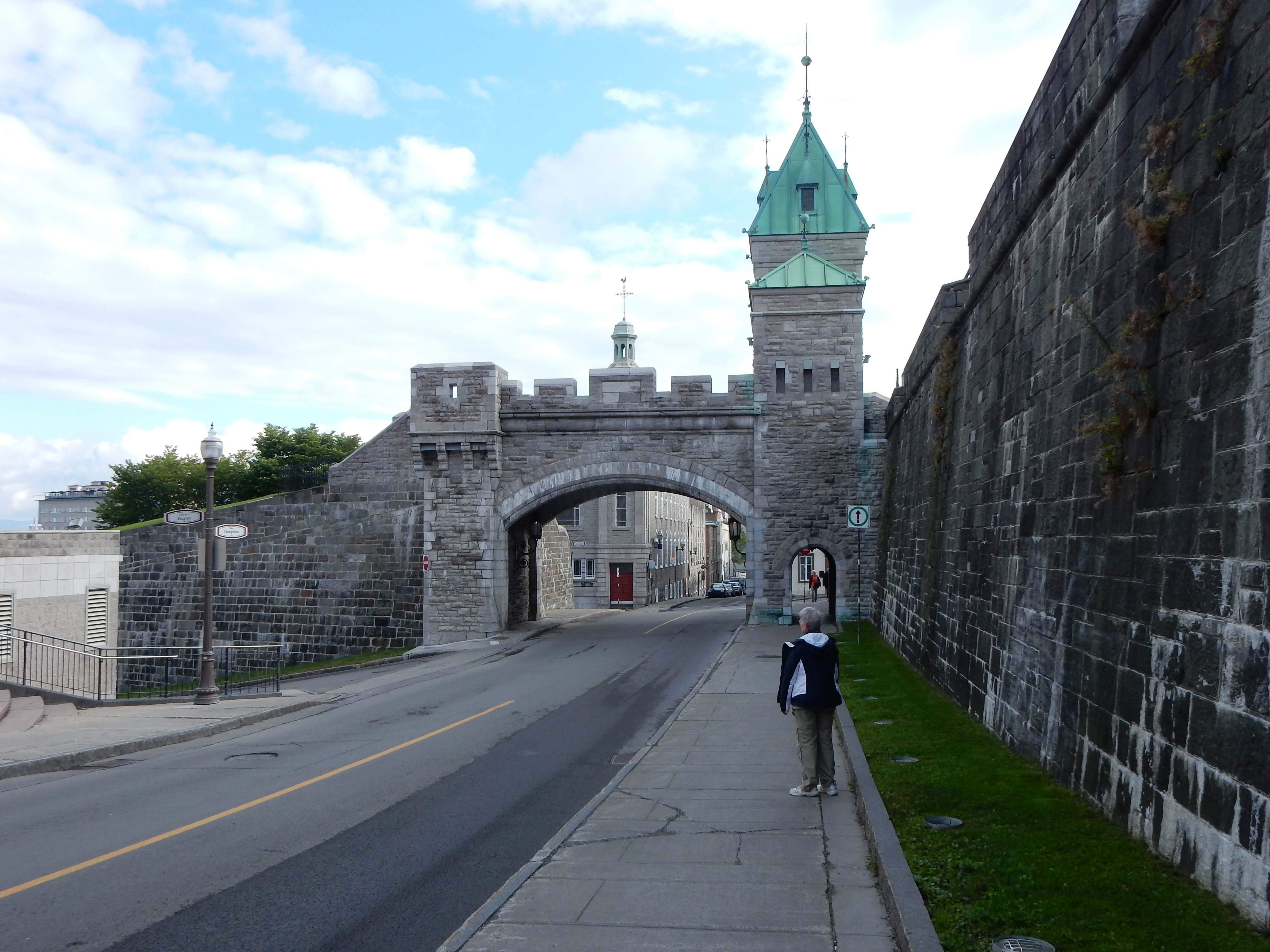
Kent Gate, one of three gates into Old Quebec
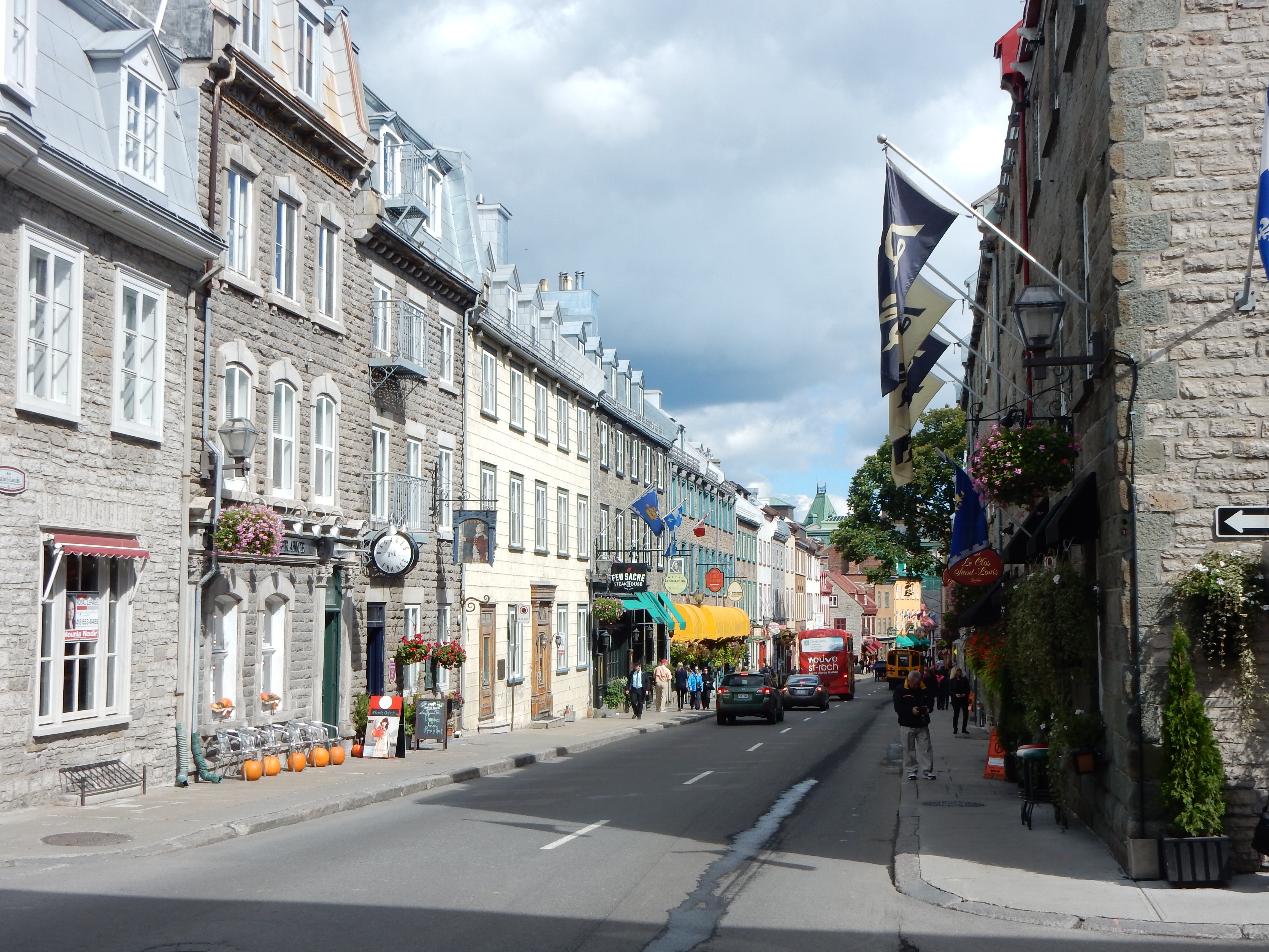
We entered Old Quebec through the Kent Gate and walked down streets reminiscent of France in the 1700s. Shops and restaurants alternated with churches, hotels and offices. Our first major stop was the Musee du Fort (I apologize for my inability to know how to insert the accents for French words.) This museum has a 30 minute panorama of the six sieges of Quebec highlighted by a light and sound show.
A side note on Quebec history, Readers Digest condensed version that I am sure will offend Quebec natives. Quebec was founded in 1603 by Samuel du Champlain of France. It remained a French city until 1759 when the British defeated the French in the battle of Quebec, although there were numerous battles and skirmishes between the two prior to 1759. The Brits were here until 1867 when the Articles of Confederation created a separate Canadian country although still a part of the British Commonwealth. You can see the mountains of Maine some 100 Kilometers away. The Americans invaded Canada in 1775 and during the war of 1812; small rebel groups invaded Canada in 1837, 1838 and during 1868-71. Thus, while Americans may be ignorant of these battles, they are near to Canadian memories.

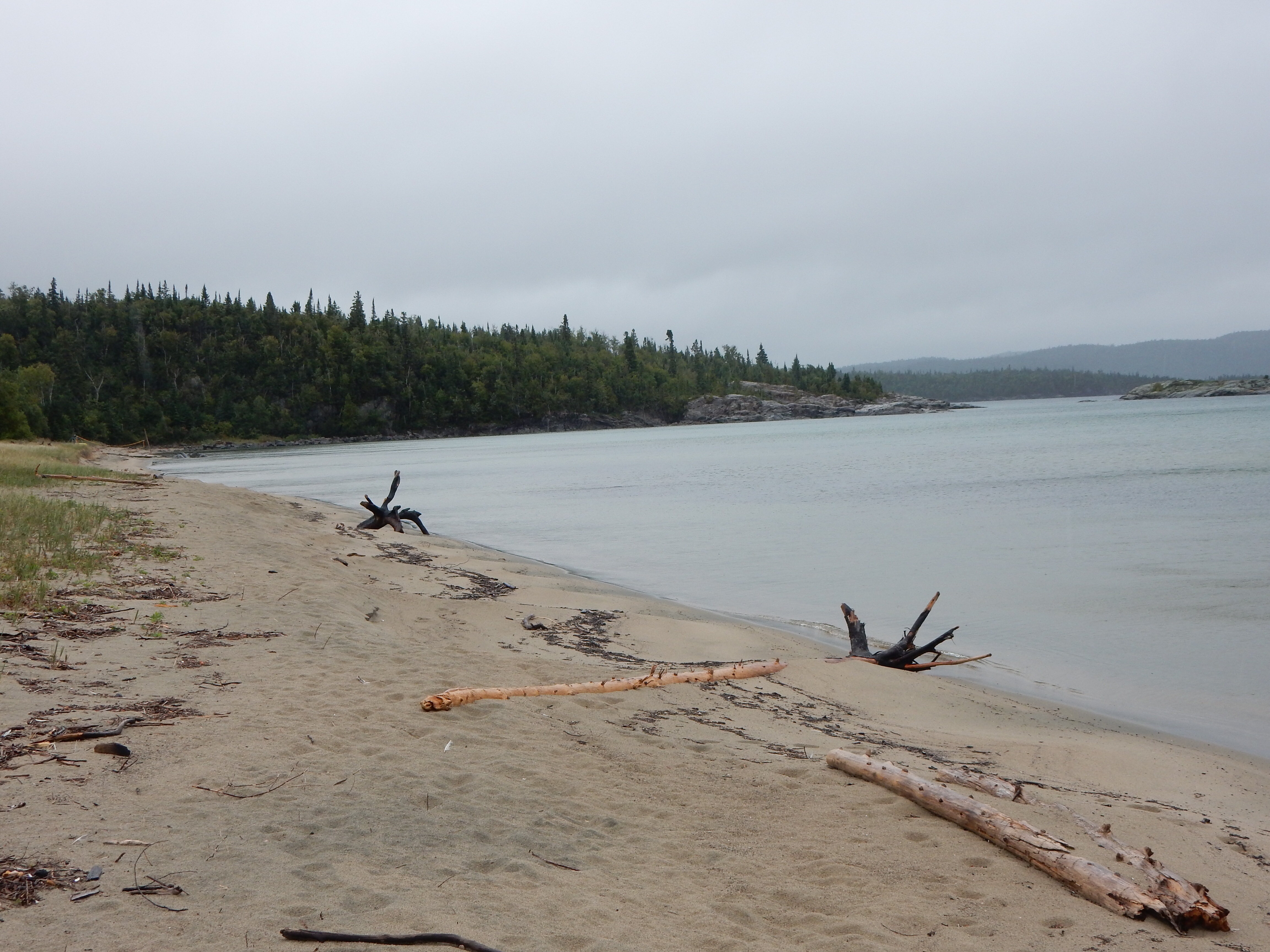
St.Lawrence River
Quebec’s position defending the St. Lawrence River and its nearness to the U.S. made it a prominent defensive position. The hills of Quebec, combined with fortifications, made it a strong guardian. Early fortifications were less elaborate than those completed by the British after the War of 1812. The Musee du Fort and the Citadel, which we visited later in the day, are central reminders of Canada’s efforts to form its own country.

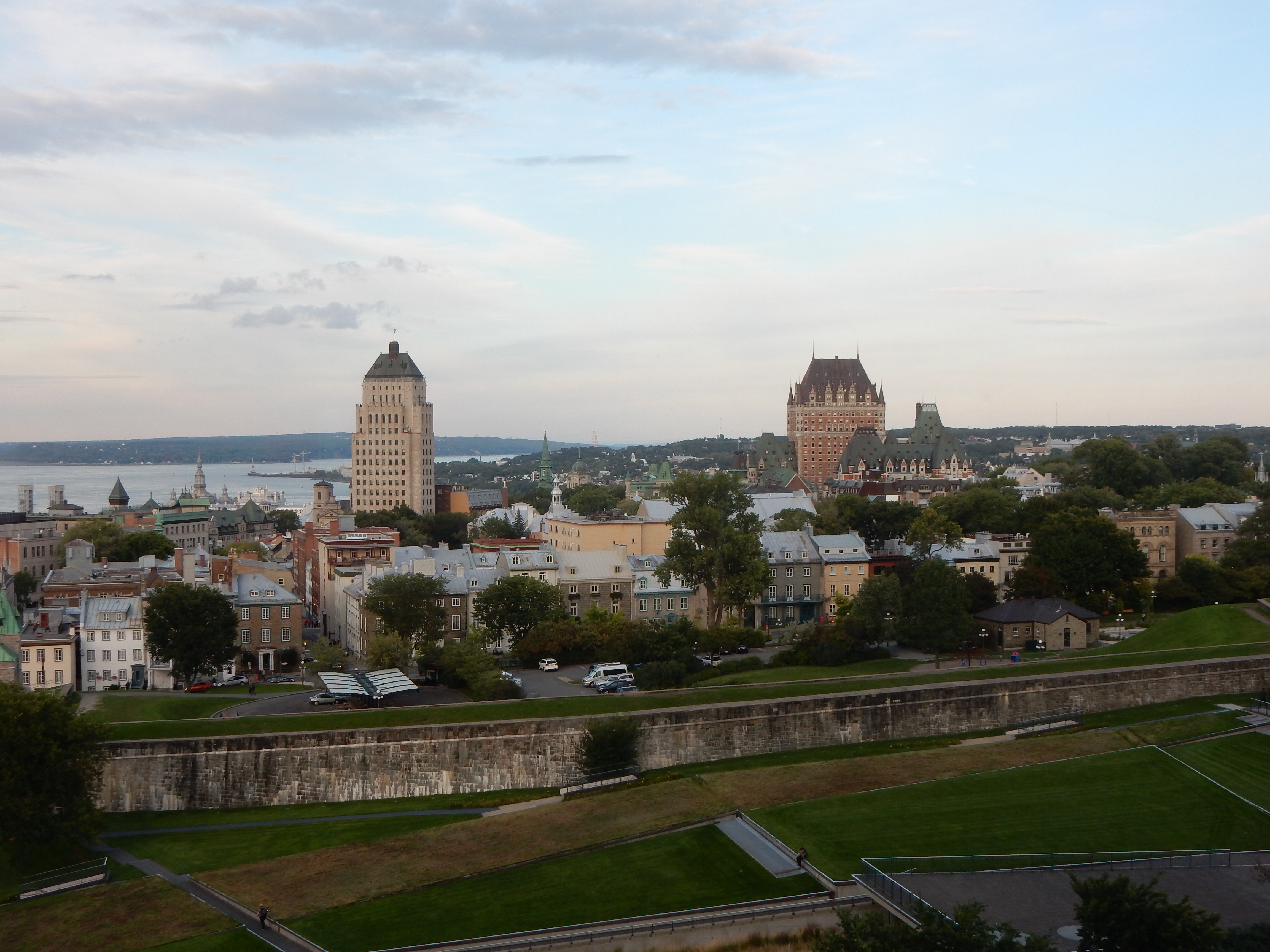
Chateau Frontenac
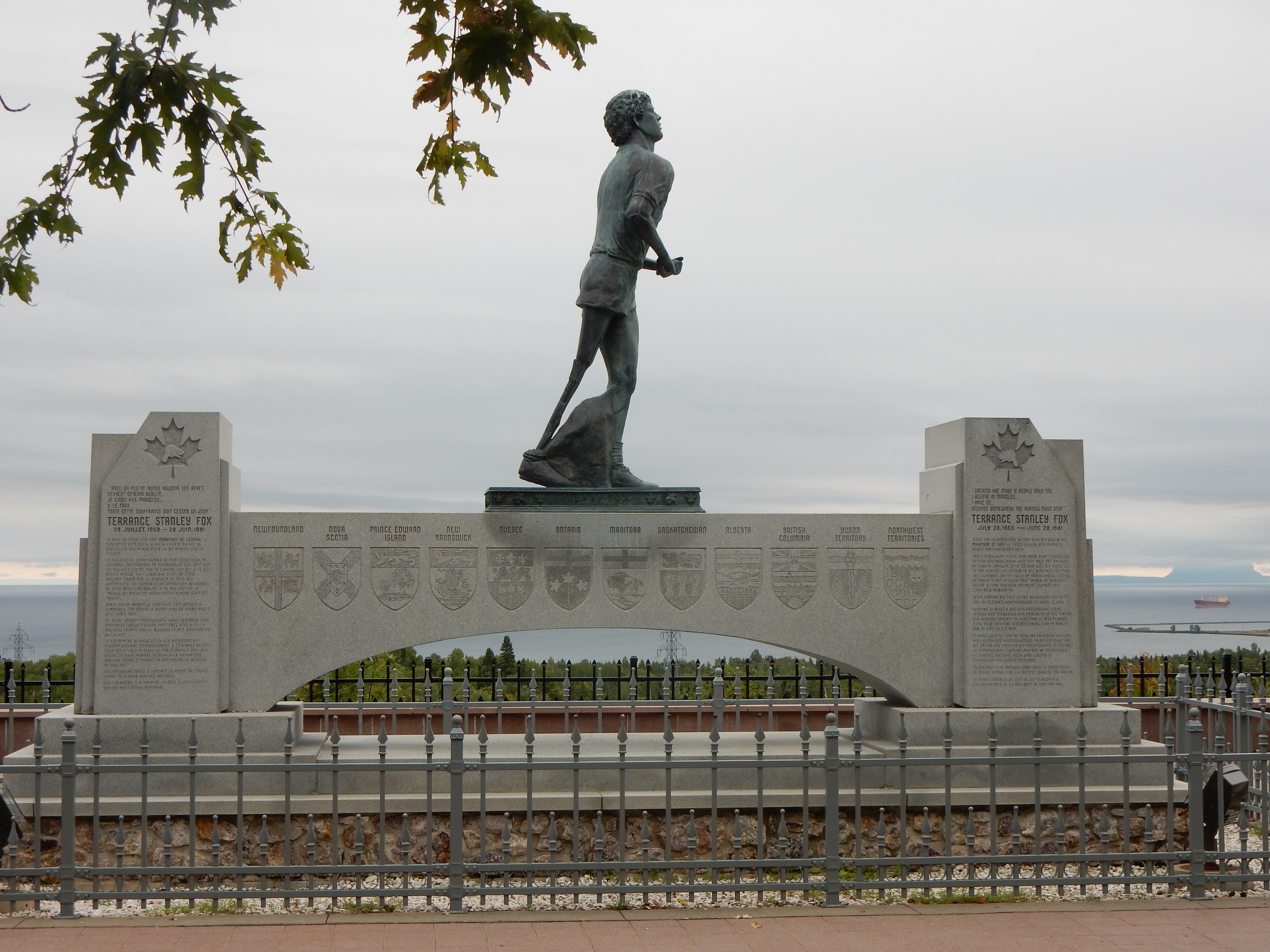
After the Musee du Fort we wandered around Old Quebec, passing City Hall which is undergoing major renovations. We walked by the Samuel de Champlain monument on Dufferin Terrace which overlooks the St. Lawrence River. We saw the UNESCO World Heritage monument and Chateau Frontenac, a massive hotel built in 1893. Two Allied Conferences during WWII were held here. After all of this walking, it was time for fruit crepes and a rest.
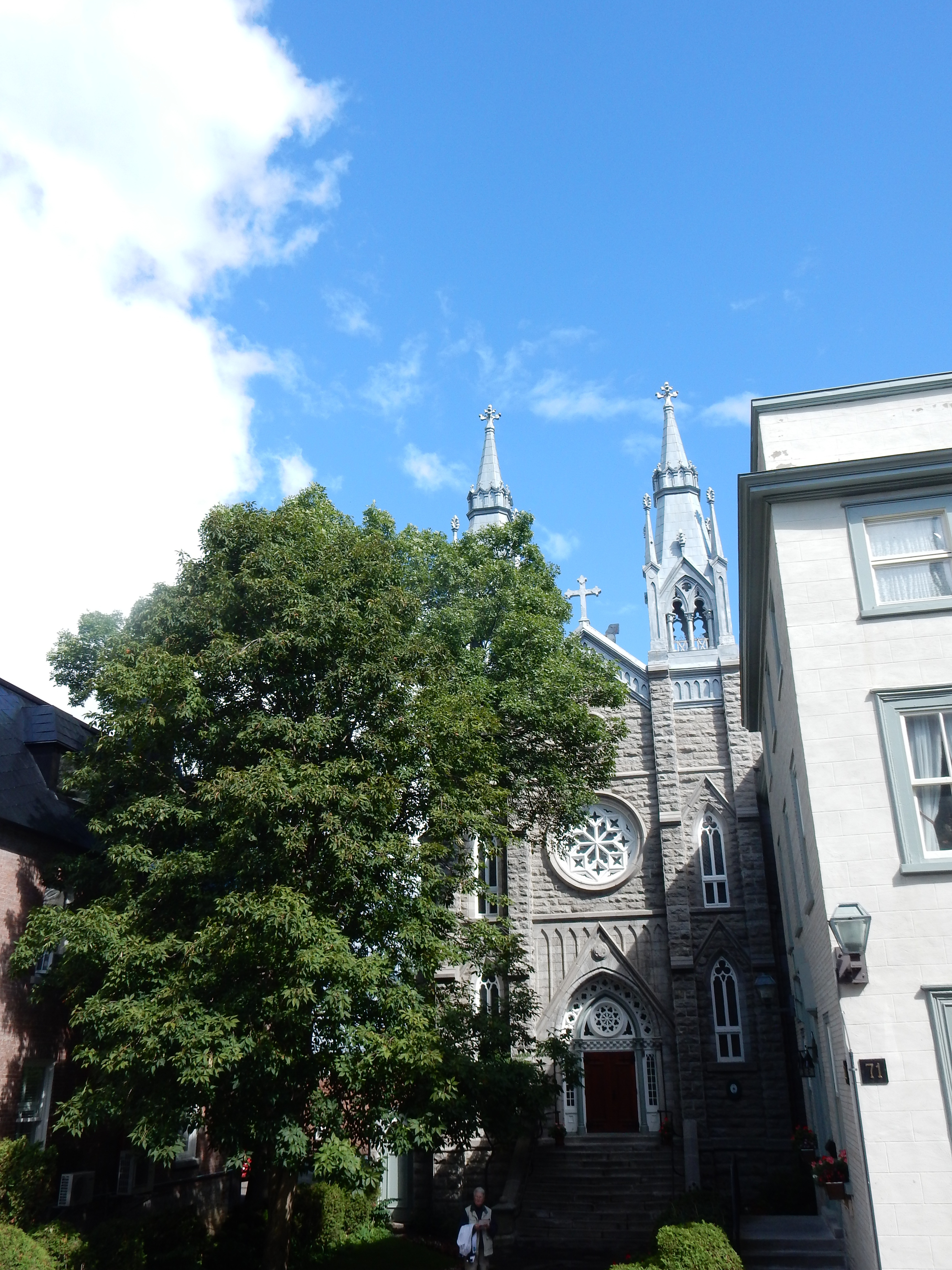
Notre Dame du Sacre Coeur
The Anglican Cathedral Holy Trinity was the first Anglican cathedral outside of Britain. Our tour guide here informed us that King George III donated ornate eucharistic chalices and candlesticks to this Cathedral which we were able to view-but not touch. To be ecumenical, we stopped in to see Notre Dame du Sacre Couer, a Catholic church.
The Monastery of the Ursulines is around the corner, an order founded here in 1639. The Ursulines are the oldest teaching order in Canada. Numerous streets, parks, and monuments later led us to La Citadel de Quebec and the Musee Royal 22e Regiment. Our time and tour here occupied us for the next two hours.
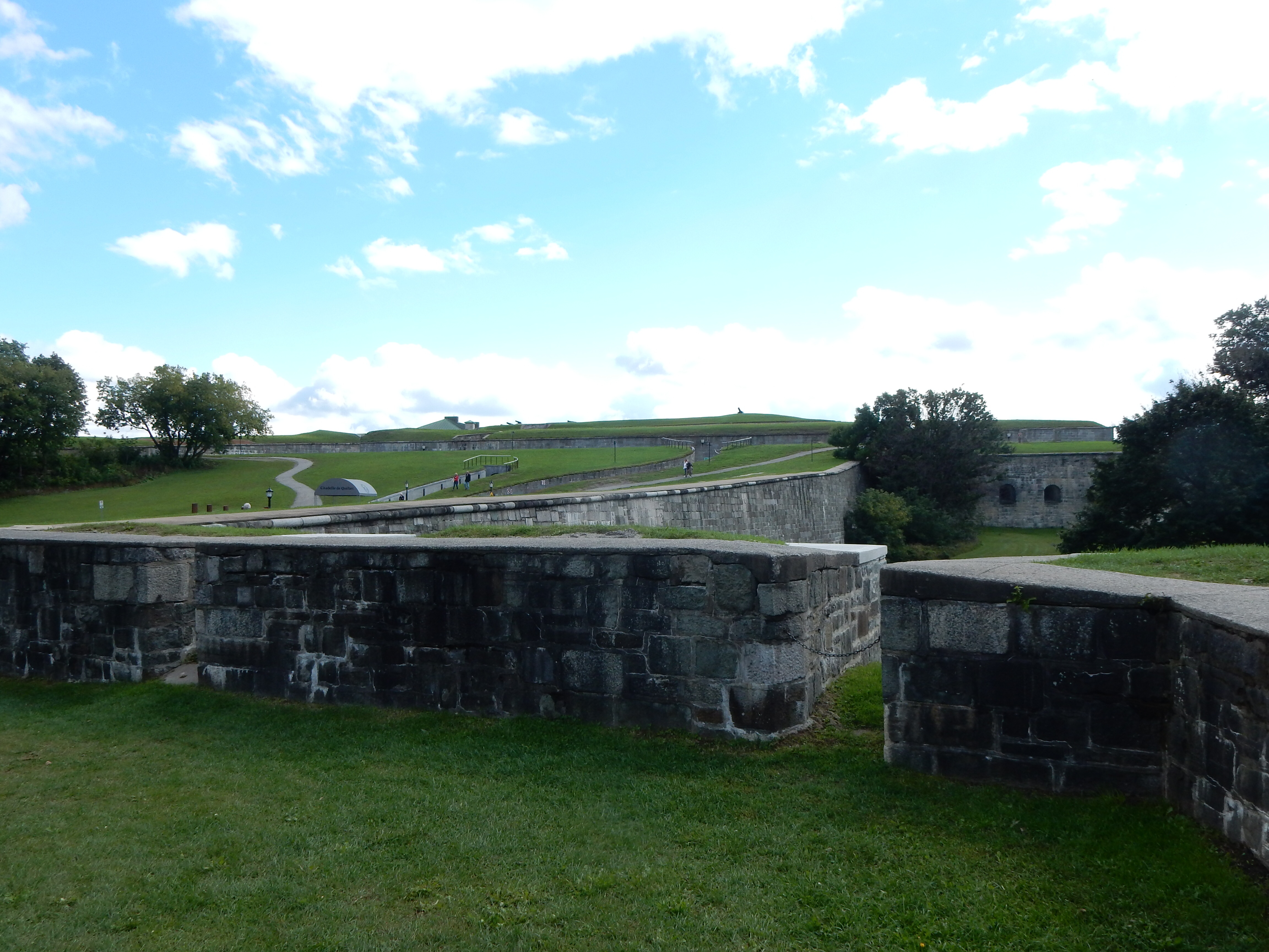
The Citadel
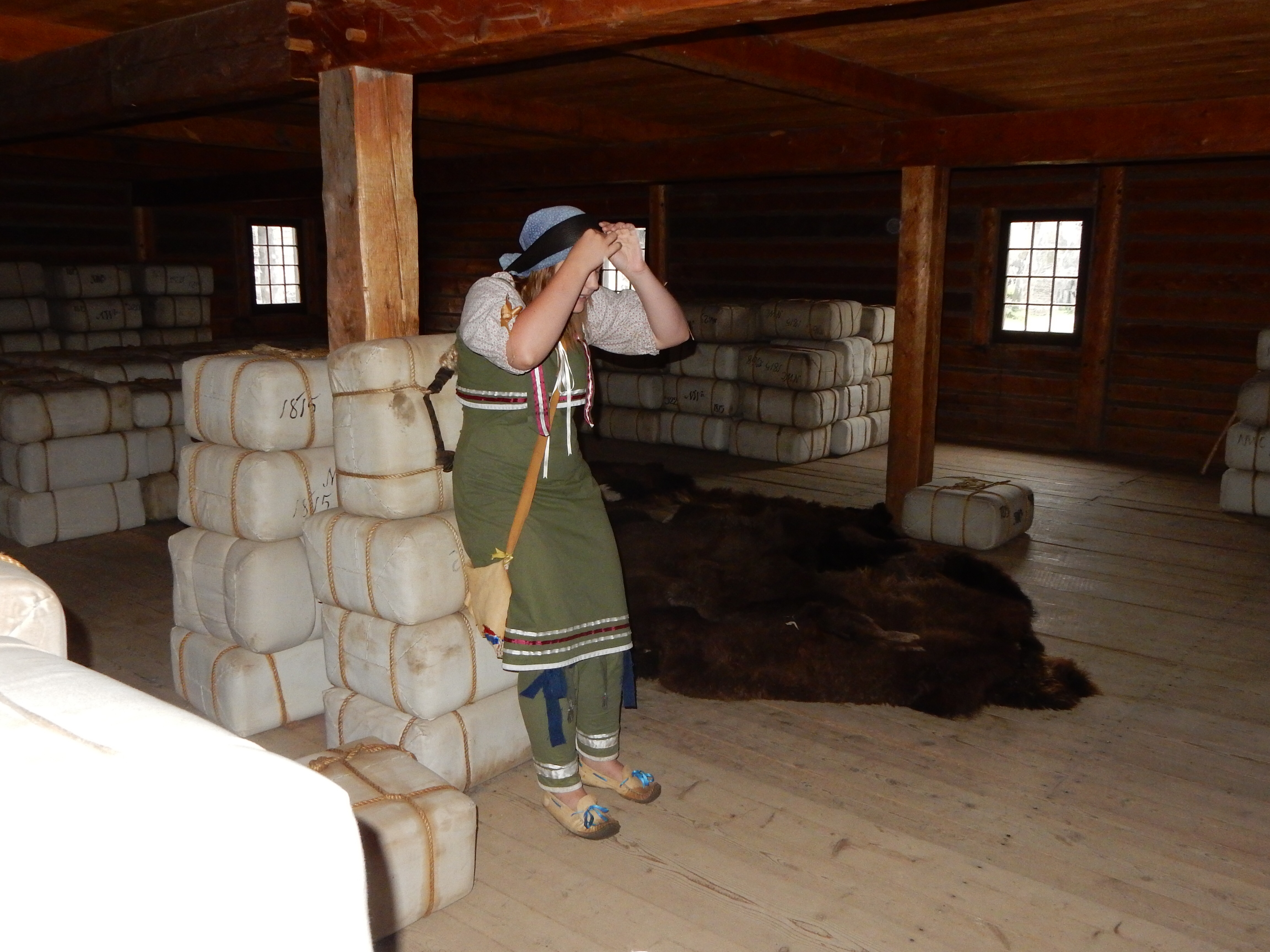
The Citadel is a 37 acre active military base, occupying the grounds of the fortifications than have defended Quebec for over 300 years. The fort has the notable star shape seen at many forts of this period, due to the ability to better defend against attackers from all angles. The museum details the history of the fortifications and the role of Quebec in defending Canada.

The Citadel
The Citadel is also the home of the Royal 22e Regiment; the only French-speaking regiment in the Canadian army. Our tour guide, a civilian from Belgium, gave an excellent tour. The regiment is noted for its bravery and courage. The regiment began in WWI when French-Canadians did not enlist very heavily. Since the Canadian army was led by English-speaking officers, the francophone residents of Quebec did not view this as “their” war. However, once a French-speaking battalion was organized, the enlistment rate shot up.
Today, the regiment still speaks only French in its internal workings although they use English for national army activities. The regiment was at one of the Queen’s major ceremonies at which time they took a turn at the changing of the guard at Buckingham Palace which was the only time French has been used in that ceremony, and the queen greeted them at a three-hour reception in which she spoke to them in French with a Quebec accent.
At the Citadel is an extremely large cannon (okay I forget the exact nomenclature) which was fired in the late 1800s to break up ice on the St. Lawrence River. The river freezes over and ships normally have to wait for 2-3 months in the hardest part of winter before the ships can traverse back and forth to Montreal from the Atlantic. Before ice-breaker ships, if the river stayed frozen too long, the cannon was used to place a few well-aimed shots to break up the ice.
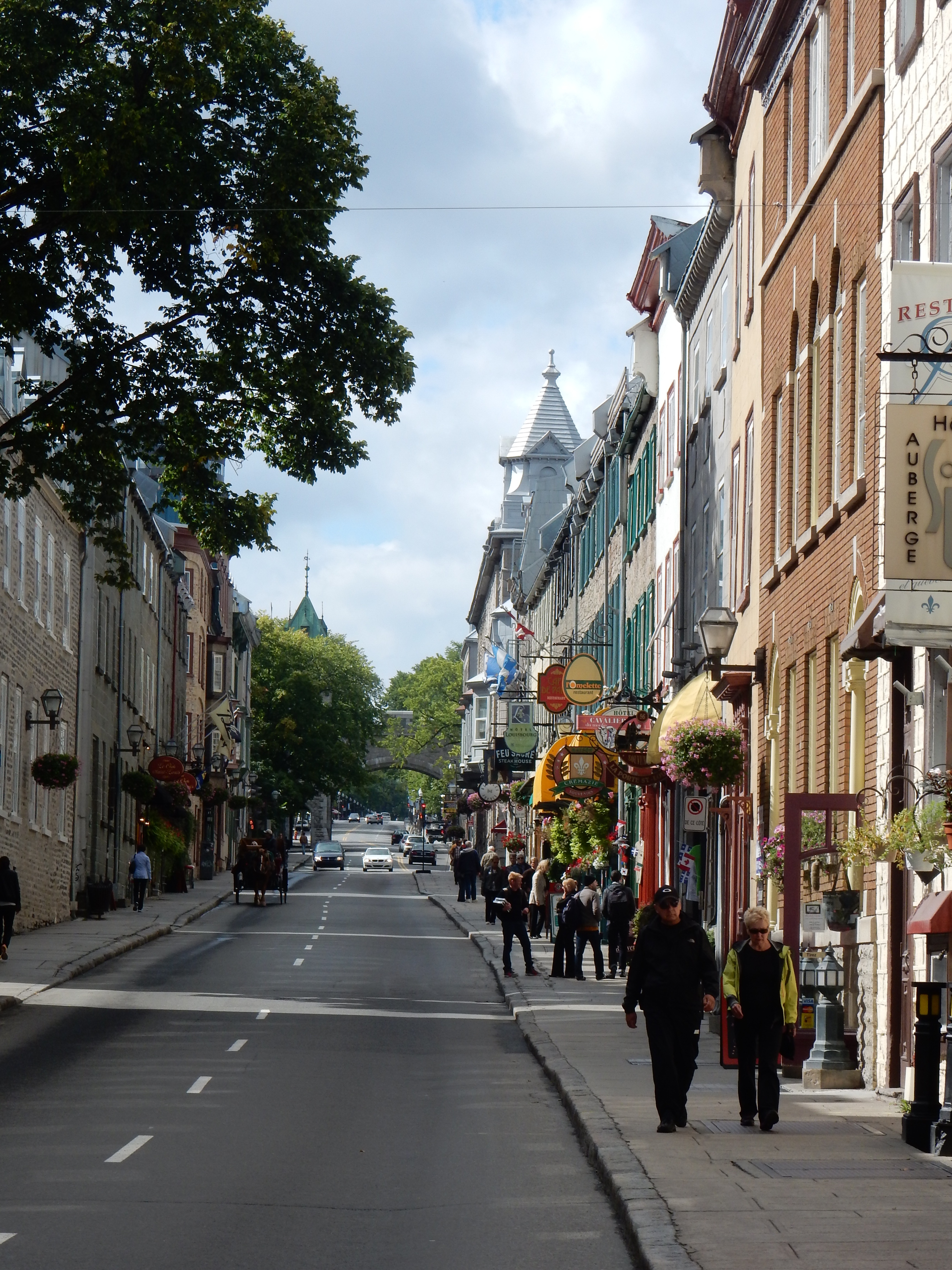
An Old Quebec city street
After all that standing and walking, it was time for a break. Tea, cookies and chocolate mousse did the trick in reviving our energies. We each had some Kusmi tea which originated in Russia and now is based in Paris. But, the break meant we missed closing time at Notre-Dame de Quebec Basilica-Cathedral. Another day perhaps although there is still much to see.
Dinner was another small restaurant not far from the hotel. A pleasant evening walk as the sun was setting on a busy day.
Ed and Chris 9/16/14 11:15 pm


Recent Comments