
Lake George, NY Tuesday Oct. 7
Choices confront us all the time. Today we made several small decisions that enriched our day’s experience; initially planning only to visit the Saratoga National Historical Park. The first decision was to turn back to visit Lock #5 of the Champlain Canal. We all know of the Erie Canal and its major influence on the growth of the United States. Chris and I were unaware of the other connecting canals to the Erie Canal.
(side note–Our drive took us through Hudson Falls NY, a small town that had been home to a GE plant that dumped PCBs into the Hudson River for 30 years. Under a five year plan, GE is spending one billion dollars to dredge and remove soil with PCBs. We drove past part of the dredging work today.)
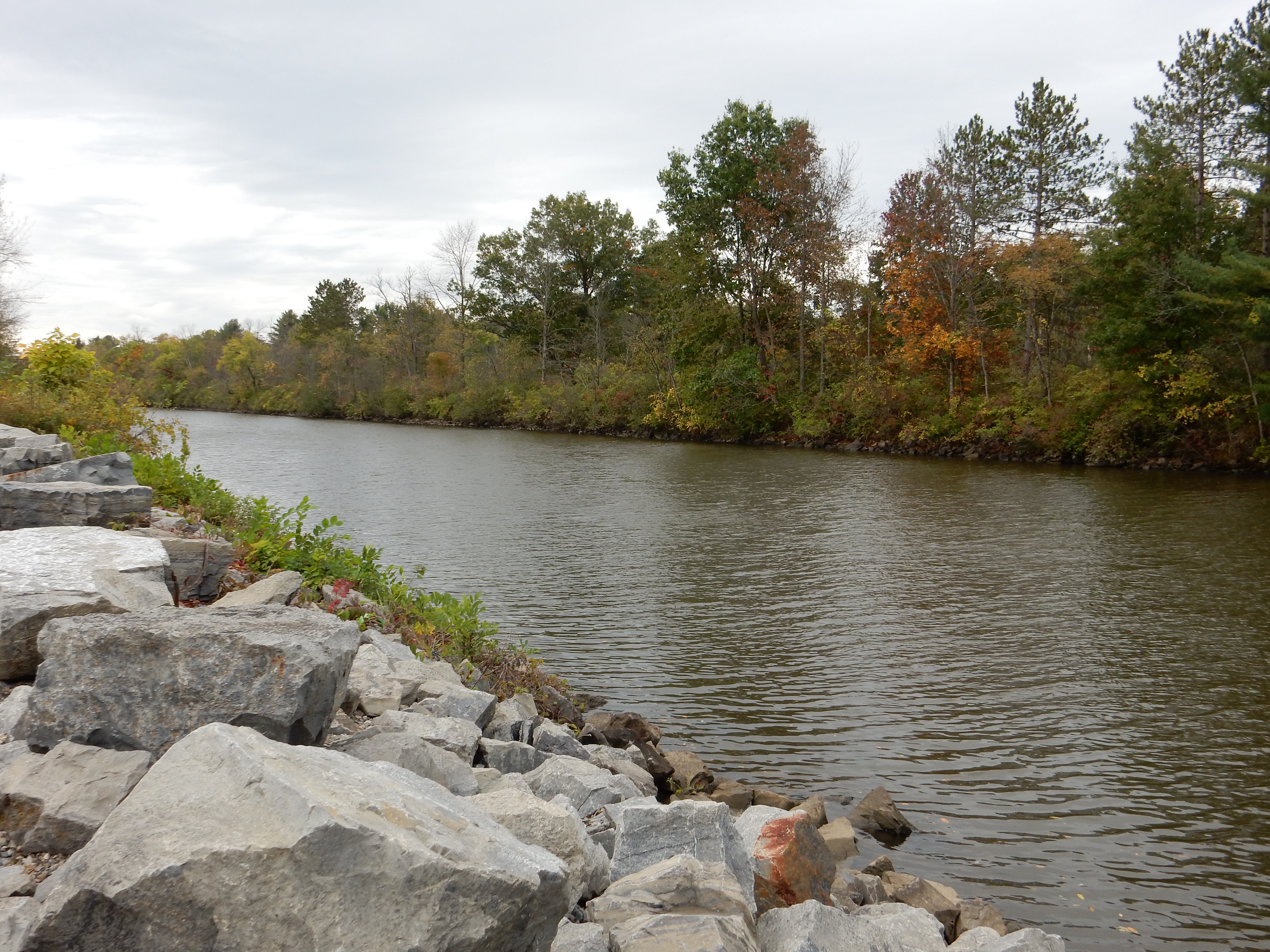
Champlain canal
The Champlain Canal runs from just north of Troy NY to Whitehall NY where it connects with Lake Champlain. We first observed the canal at a roadside rest stop as we drove back roads from Lake George to the Saratoga Historical Park. The canal was built in 1843, pre-dating the Erie Canal by two years. The Champlain Canal allowed the timber and minerals of the Champlain Valley to be transported to Troy and onto the growing areas of the U.S. Today, barges still use the canal, as do recreational boaters.

Lock number 5 of the Champlain Canal
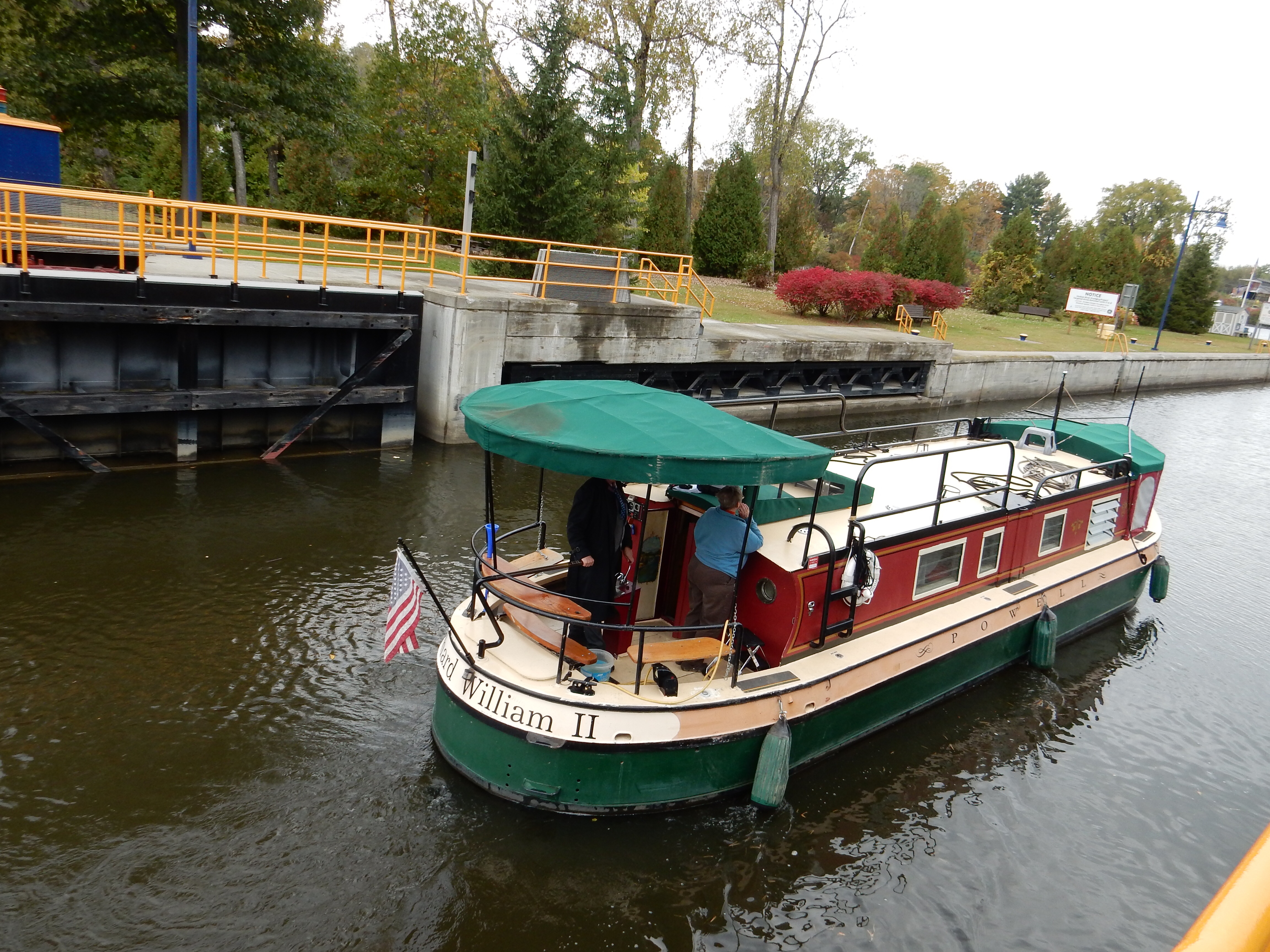
Rented canal/house boat
Driving through Schuylerville, we zipped past a sign for the Visitor Center at Lock #5. We turned around and headed back. The canal tender on duty was most engaging, telling us stories of his experience on the locks as we watched a rented canal/house boat pass through the lock. He does have a distinct impression of French Canadian boaters that is not particularly favorable. The locks are open from April to November, depending on weather. The canal freezes during the winter.

Saratoga Monument
Our second decision was to stop at the Saratoga Monument. As we had read, the monument was not open, it was closed for the season. We were not able to view the displays inside nor climb 154 feet to the top for a view of the area. However, the grounds were open, including a one mile trail through Victory Woods. The two experiences enhanced our enjoyment of the Historical Park.
So what is Saratoga Historical Park? Well, it is not in Saratoga Springs as we thought once upon a time. It is located in Schuylerville, which was once called Saratoga. At Saratoga, the U.S. Revolutionary Army completed a decisive defeat of the British Army. This victory is considered the turning point of the War for Independence.
In 1777, the British were not doing too badly. Other European countries were not willing to come to the aid of the U.S., however much they disliked England. The British believed that an important step would be to drive a wedge between the northern and southern “provinces”. To do that, an army would advance south from Montreal to Albany, along the Richieu River, Lake Champlain, Lake George, Hudson River route we have mentioned previously. They advanced to Fort Ticonderoga and took that.

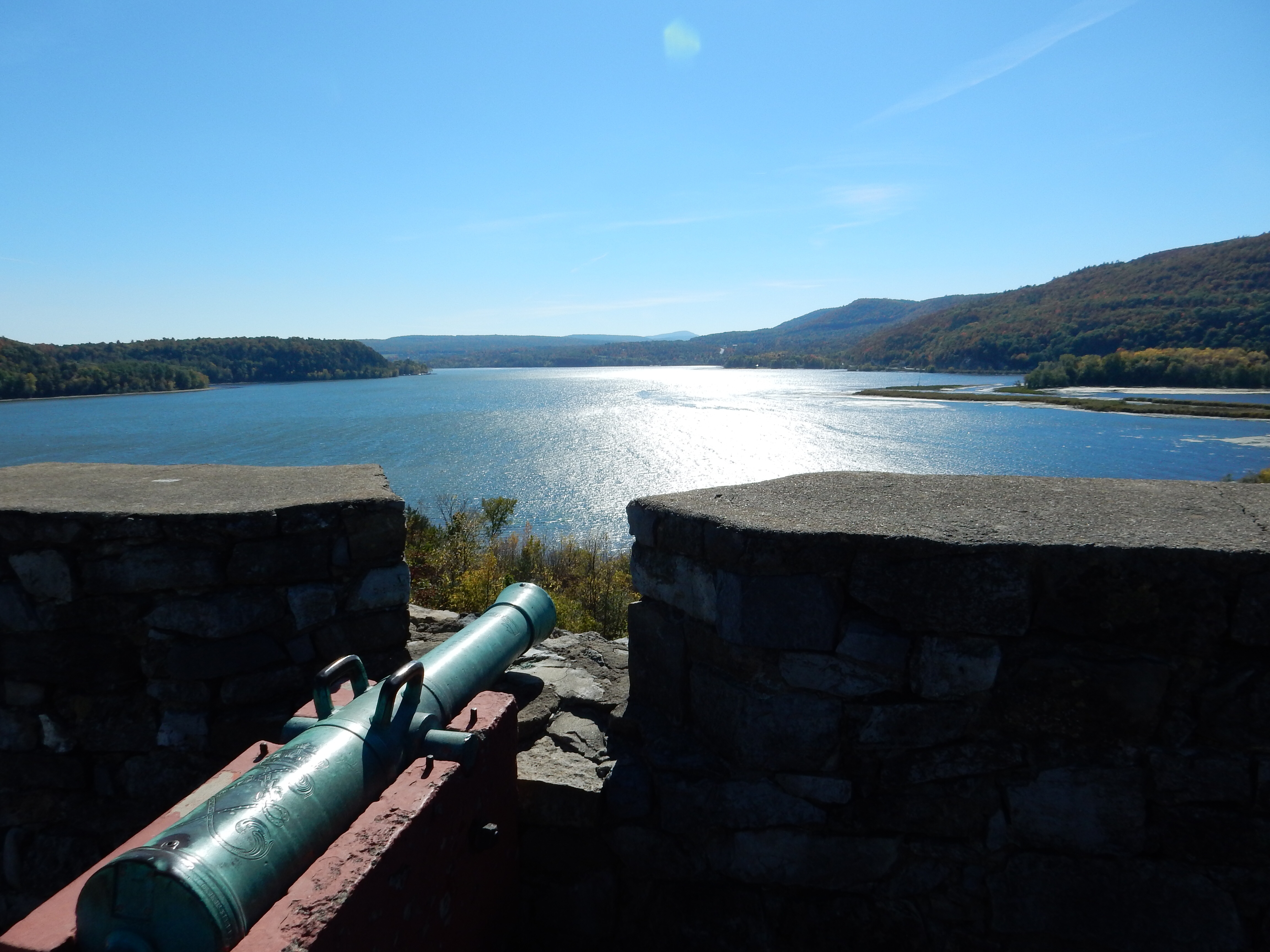
Cannon overlooking the road and Hudson River
Then things started turning sour. A side excursion to Bennington VT was defeated. The coordinating drives by British forces from the west and the south turned back or never materialized for various reasons. U.S.General Schuyler (who lived in this area) was able to slow down the advance. General Horatio Gates assumed command of the U.S. troops and fortified a position on heights commanding both the road and water route to Albany at a narrow point between the hills and the Hudson River. Col. Tadeusz Kosciuszko, a Polish military engineer, laid out the defenses and fortified the site.
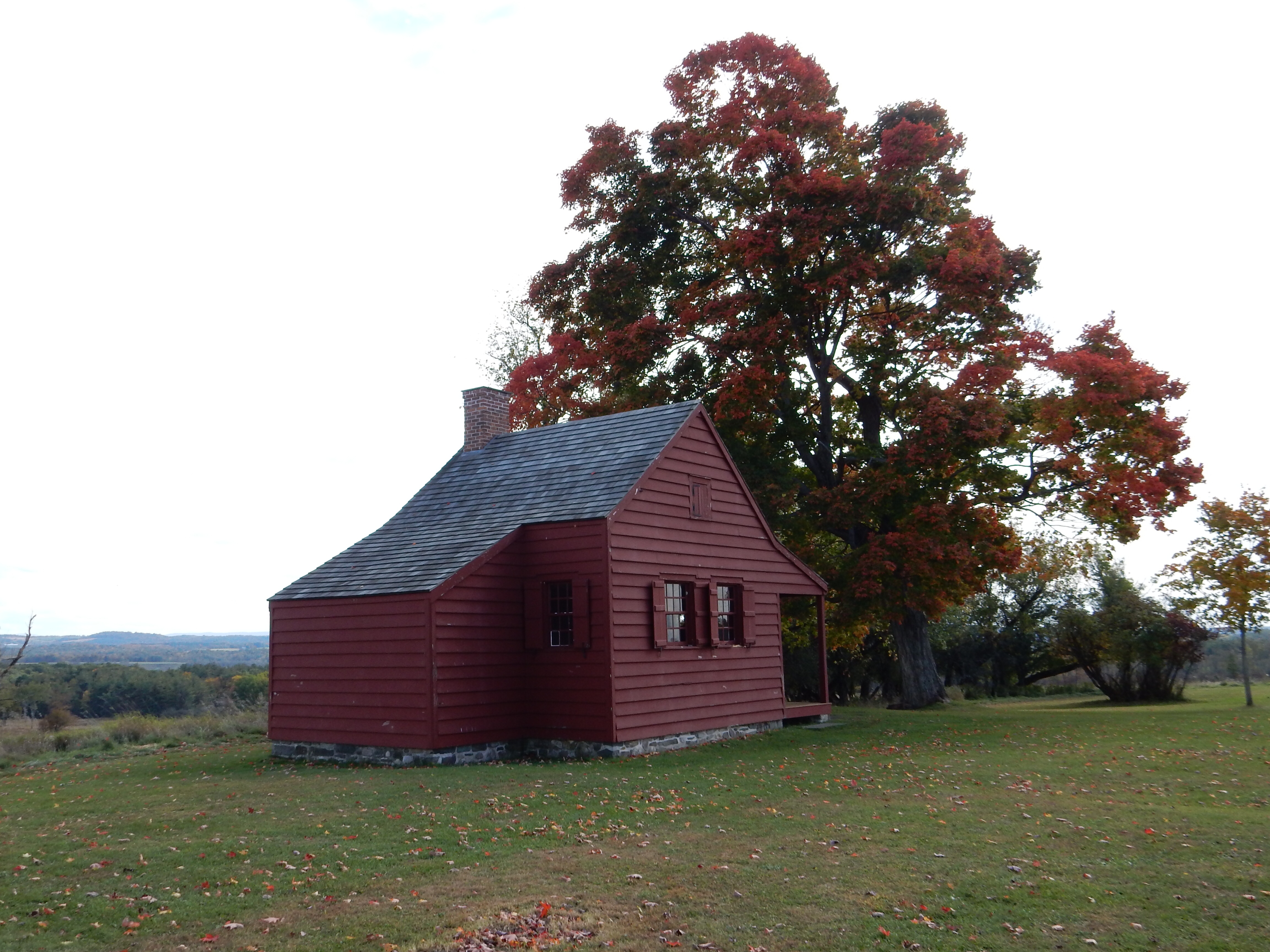
Neilson House-only remaining building dating back to 1777 in the park. It was one of the American headquarters during the battle
There were two major battles at Saratoga. On Sept. 19, the two forces engaged in a three hour battle that left the British in control of the battlefield but weakened and they did not reach the American fortifications. After Sept. 19, American forces were strengthened by new recruits; British support never arrived. On October 7 (today, 237 years later), the second battle occurred. British forces were defeated badly and forced to retreat.
The British army and accompanying women and children (women provided ancillary services for cooking, laundry, etc and officers families frequently came with them) retreated 8 miles (to Victory Woods). Gates’ troops followed, surrounded, and placed them under siege. On October 17, with few supplies and in lousy weather, the British General John Burgoyne surrendered.

Victory Woods today
This battle was the very first time a British army had been surrounded and forced to surrender; ever, not just in this war. When this news reached Europe, France (and later Spain and Holland) gave support to the U.S. and declared war against England. It was France’s ships and soldiers that helped make the final victory at Yorktown feasible. (The second time British forces were surrounded and surrendered. Singapore in WWII was the only other time.) Obviously that resulted in a new form of government, a modern democracy and the rise of the United States. It is not an idle statement to say that Saratoga turned the tide of the war and the course of history.
We spent four hours touring the sites and learning about the battle and many sub-plots. In Philadelphia in a week, we hope to visit the home of Col. Kosciuszko, the smallest national park. The story of Benedict Arnold, who was a hero here and at Fort Ticonderoga, before turning against the U.S. later, is another interesting story line. Numerous small circumstances, like the Burgoyne retreat order that never got delivered, all contribute to engaging tales.
Ed and Chris 10/7 9:30 pm


Recent Comments