
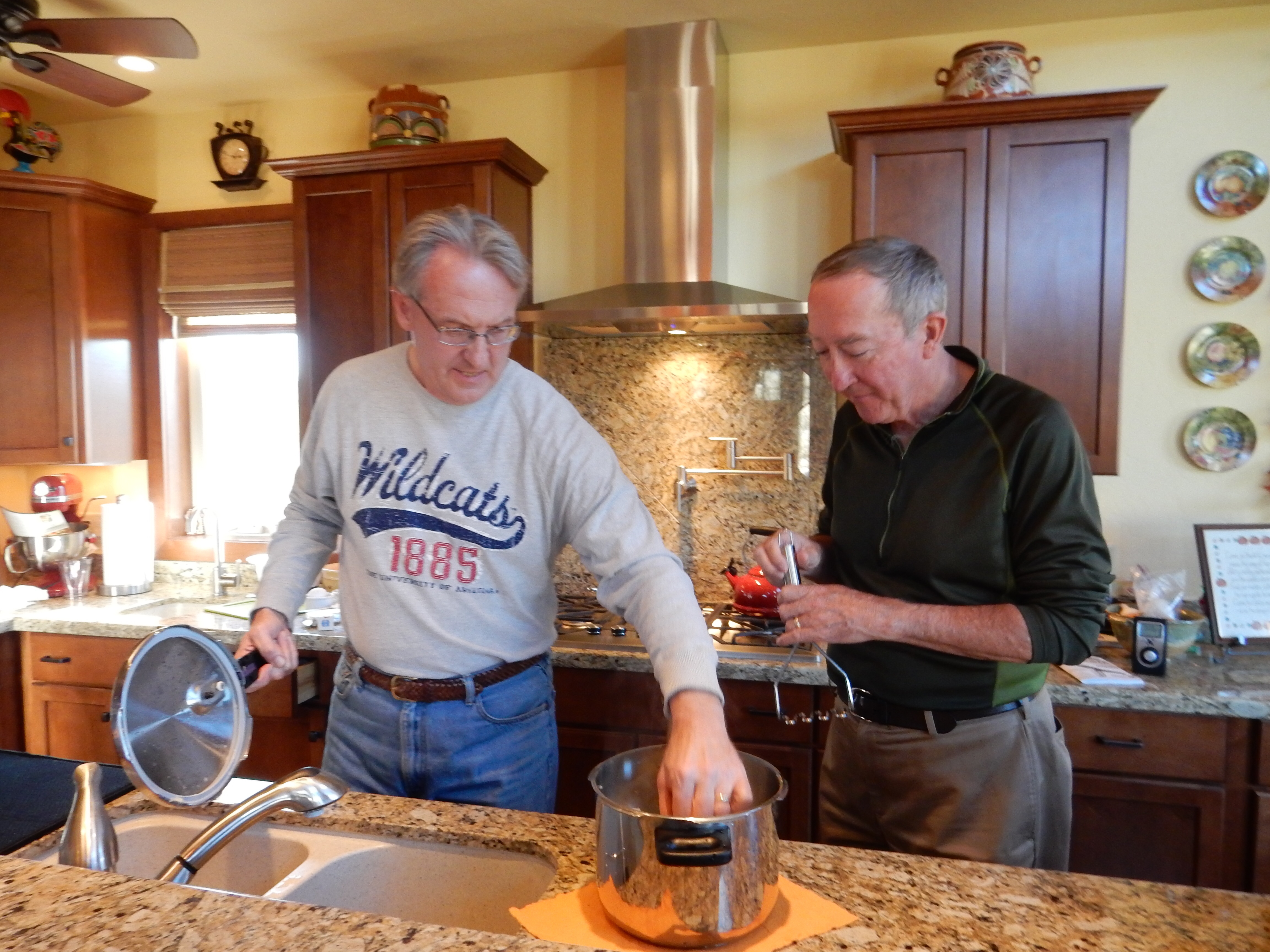
Tuesday, December 2, Las Vegas NV
Well, this is likely to be the last post until February of 2015. We head for St. Paul tomorrow morning. For our last full day in Vegas, we visited the Springs Preserve in Las Vegas.

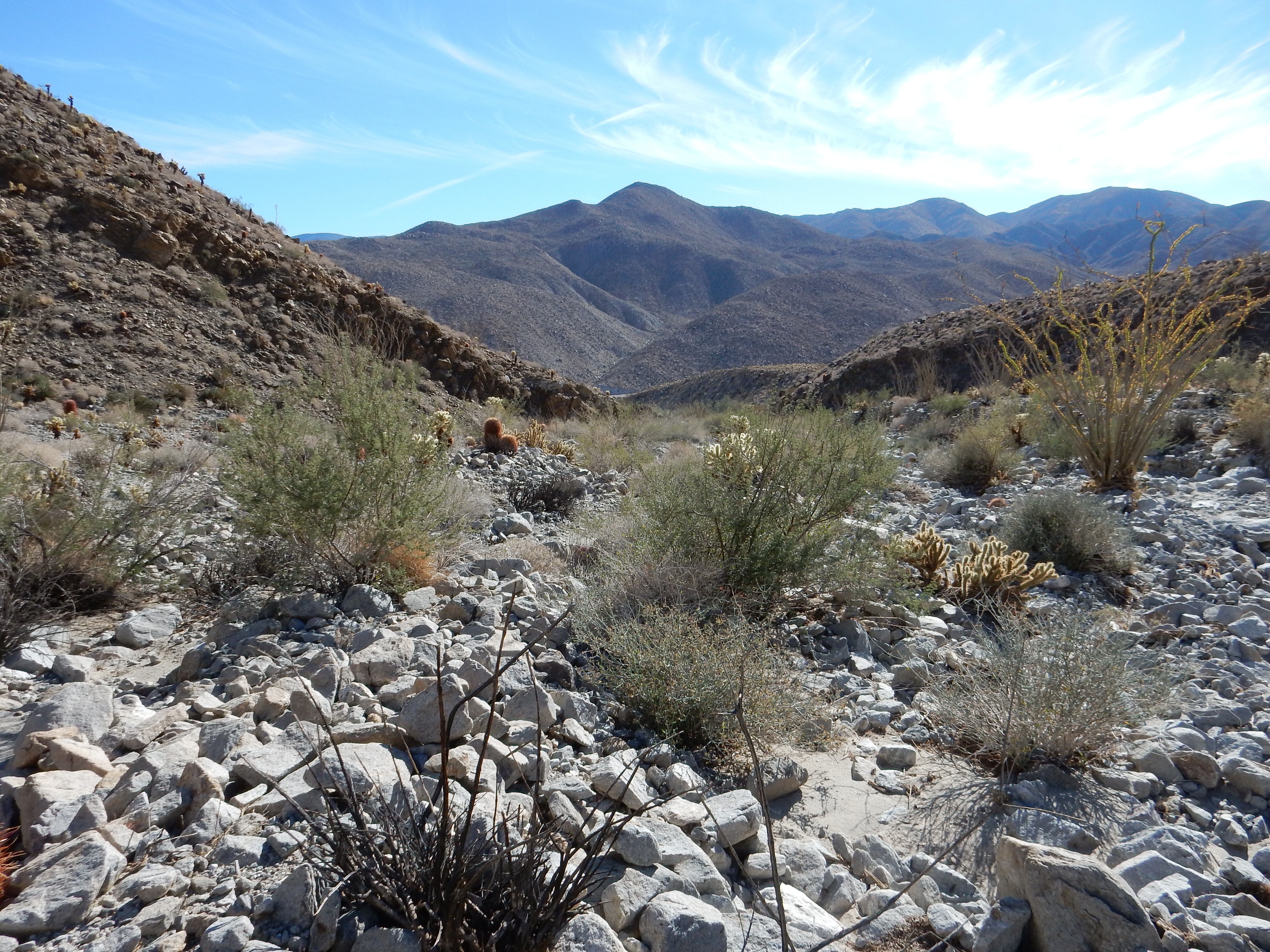
Desert vegetation growing around the pools and springs in the Springs Preserve Las Vegas
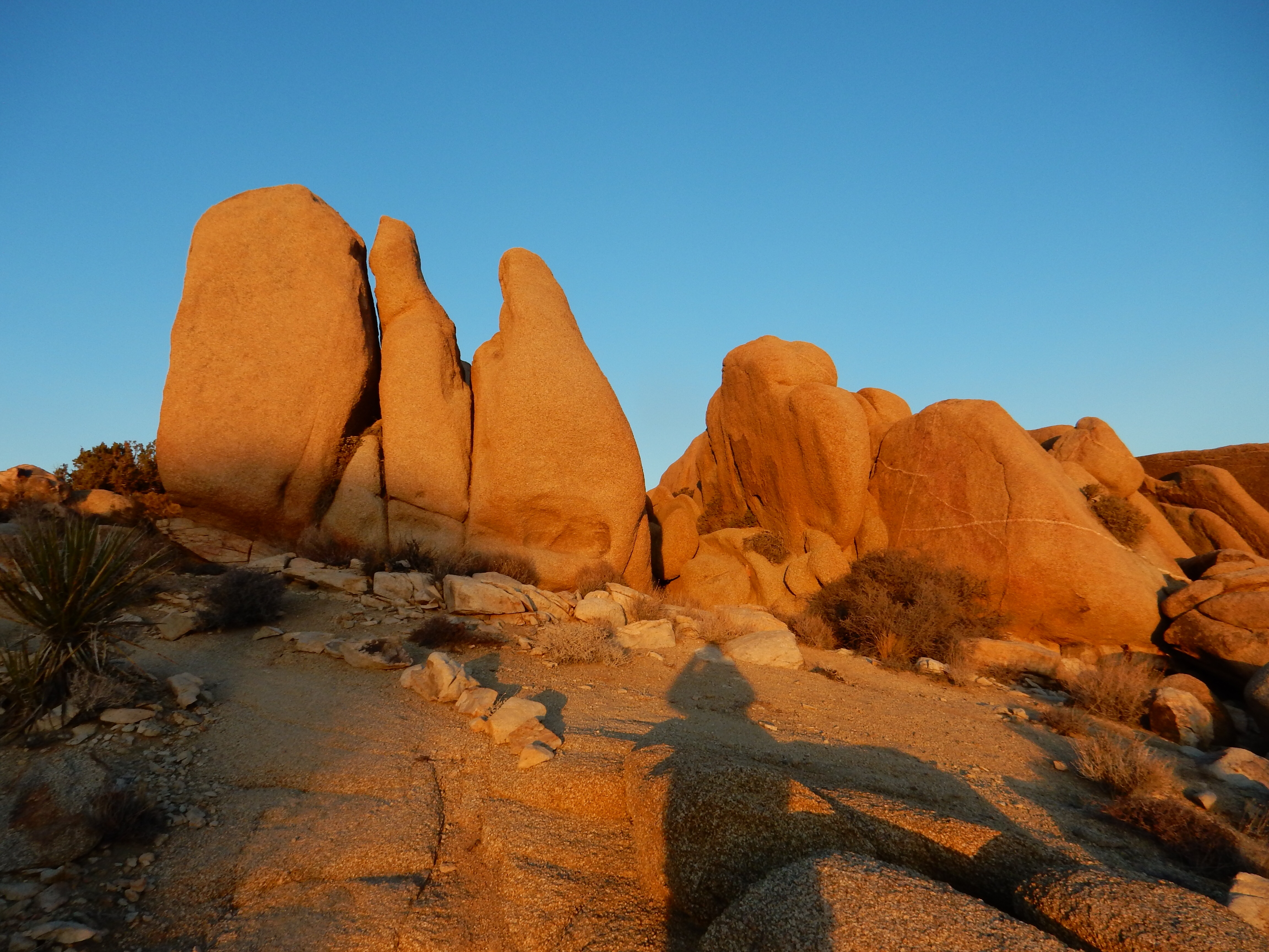
This is where Las Vegas began. Literally. “Las Vegas” in Spanish translates into “The Meadow”. This meadow area around the Springs Preserve was the home to several springs used by Native Americans and early settlers. Without the springs and the water they provide, Indians would not have gathered here. Without the water, the settlers would have kept going and not created a small village. Without the water, the early railroad, which ran on steam locomotives, would not have made Las Vegas a railroad yard for fifty years at this point halfway between Salt Lake City and Los Angeles. If there had not been a town in this area, the Hoover Dam water and power would have kept going to AZ and CA.
So the Springs Preserve is important. It encompasses the area where springs and pools existed. The actual springs no longer bubbled to the surface in the 1950s due to over pumping of the aquifer. Water wells for the Las Vegas area still exist in the preserve although Colorado River water provides the greater portion of the water for this metropolitan area of just under two million people.

the gardens area of the Springs Preserve in Las Vegas
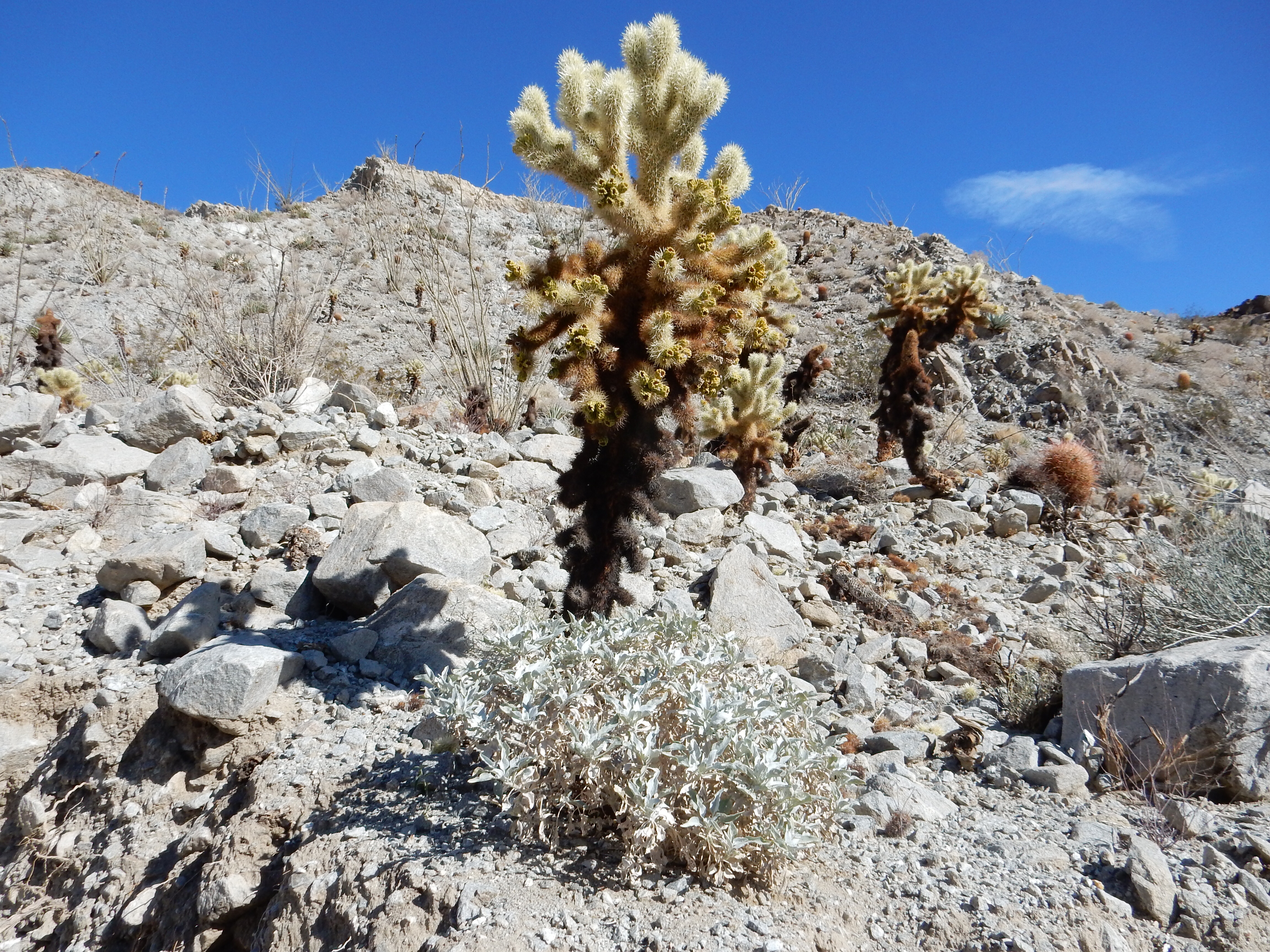
The Preserve has many components. We spent four hours here enjoying buildings and grounds. History and geology of the area comprise a portion of the exhibits. Water conservation is another important focus. Landscape gardens that work in the desert area are showcased.
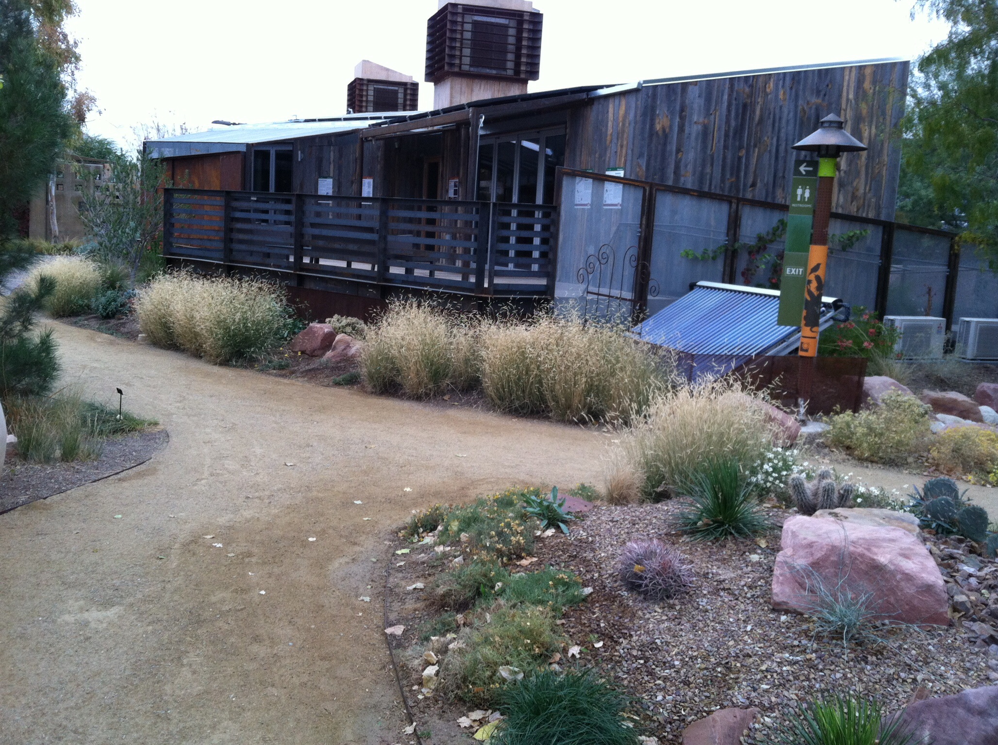
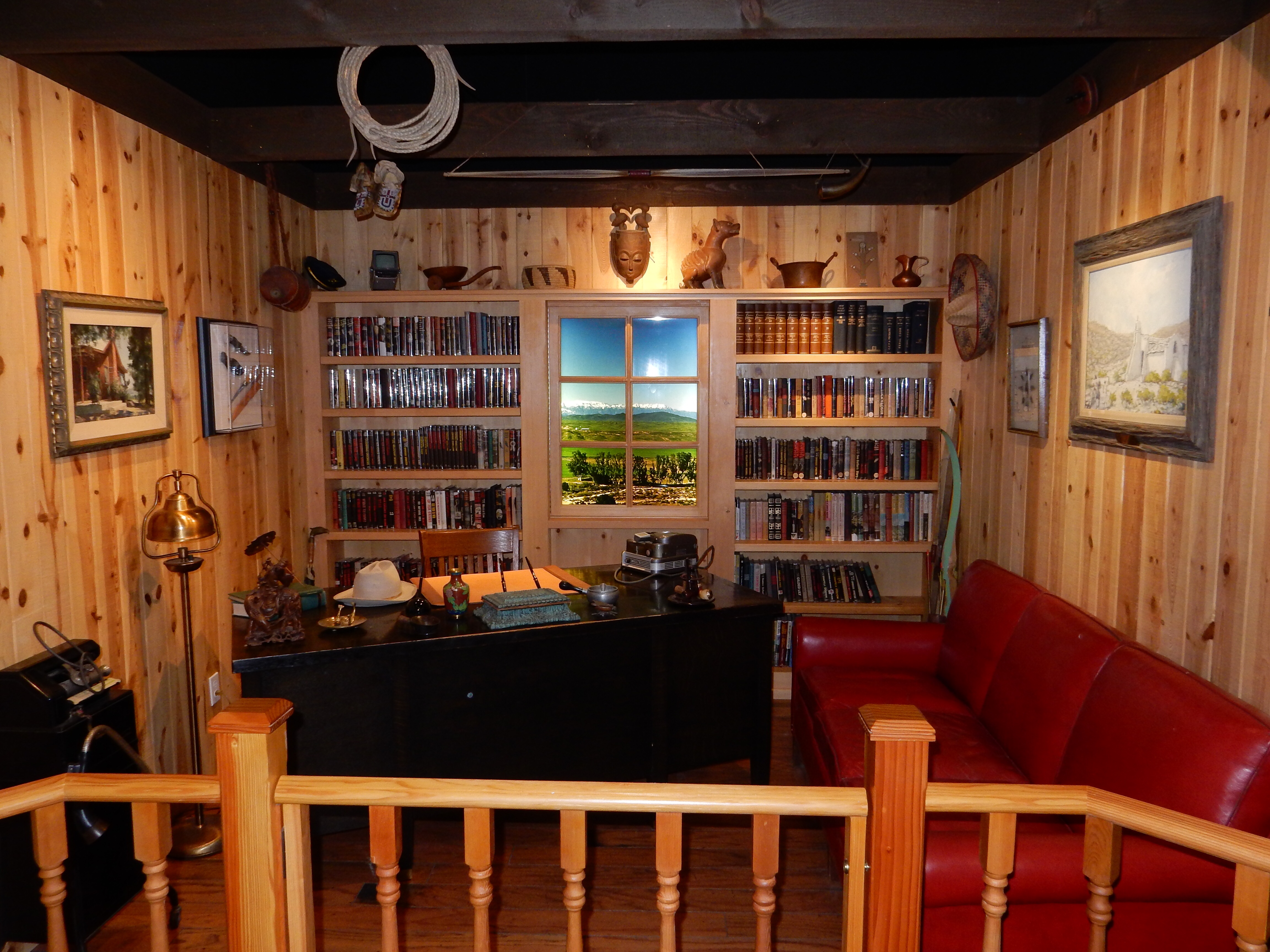
One view of the DesertSol winning house entry
In 2013 the University of Nevada Las Vegas entered a student team in the Solar Decathlon competition sponsored by the U.S. Dept. of Energy. The Solar Decathlon challenges 20 college teams to design, build and operate solar powered houses that are cost-effective, energy-efficient, and attractive. Their house took first prize and went on to take second place in the global competition. The house has been moved onto a portion of the Springs Preserve where it can be an inspiration for others.
The Botanical Gardens, while not as colorful as botanical gardens elsewhere, did have a surprising amount of color. The beauty of the landscape layout was impressive after putting aside my preconceptions of gardens from a more water oriented approach. Today had a bit of drizzle that put a fresh scent into the air that enhanced the experience. (Of course, the small amount of moisture combined with dirt and oil dripped onto local roads made for numerous traffic accidents in the city this afternoon.)

The original spring mound on the left and a derrick used to drill the water wells on the right

View of the “Strip” from the original spring mound at the Springs Preserve
The trails at the Preserve took us out into the grounds to the original spring mound and pools. The juxtaposition of the now unused spring and the tall, over-sized buildings of the Strip in the distance clearly demonstrated the changes 100 years makes.

A recreation of the 1905 auction of land that created the city of Las Vegas
We hope you have enjoyed our recounting of this trip. Happy Holidays!
Ed and Chris Las Vegas Tues. Dec. 2 6 pm


Recent Comments