
Little Marais, MN June 26
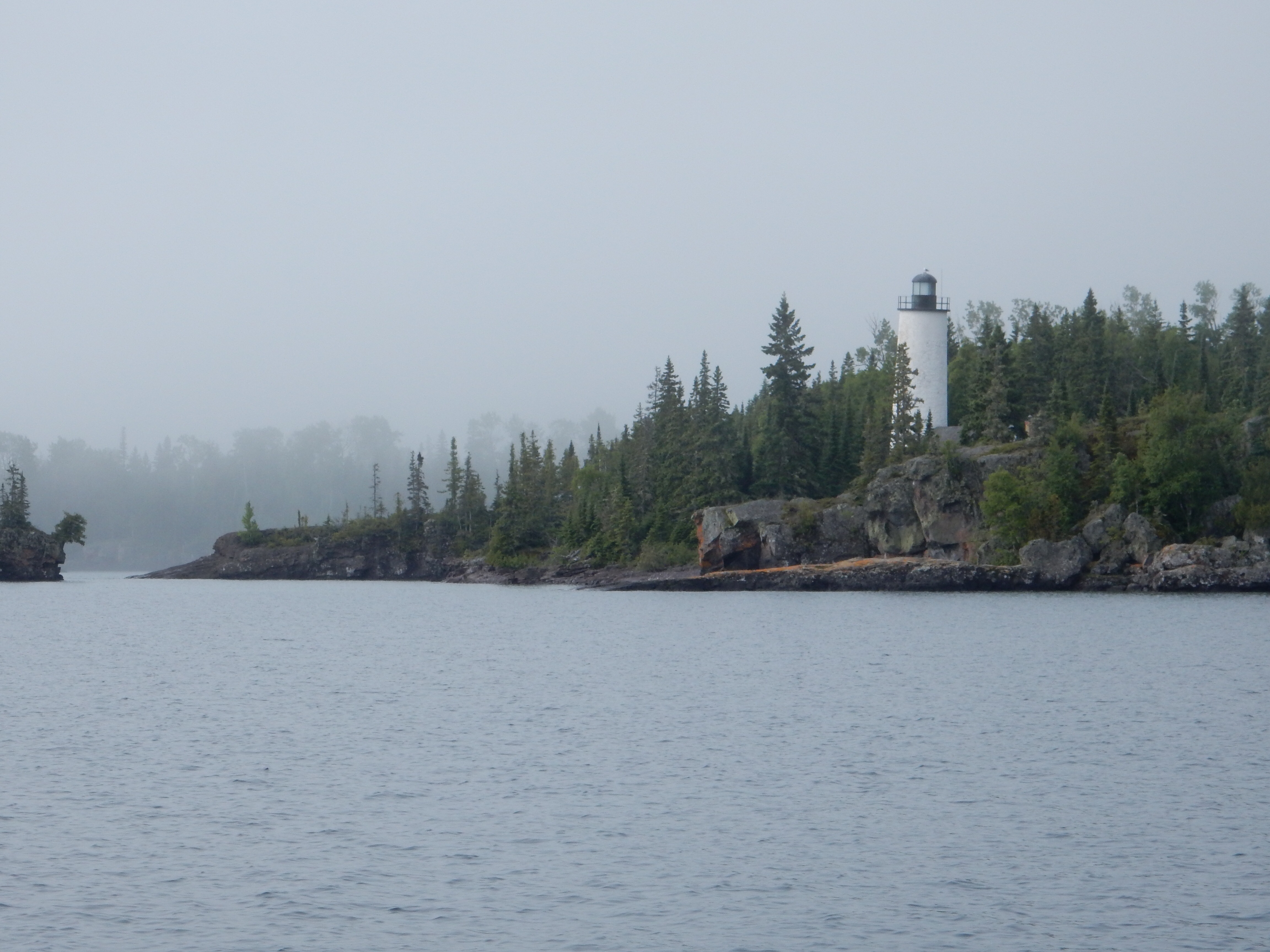
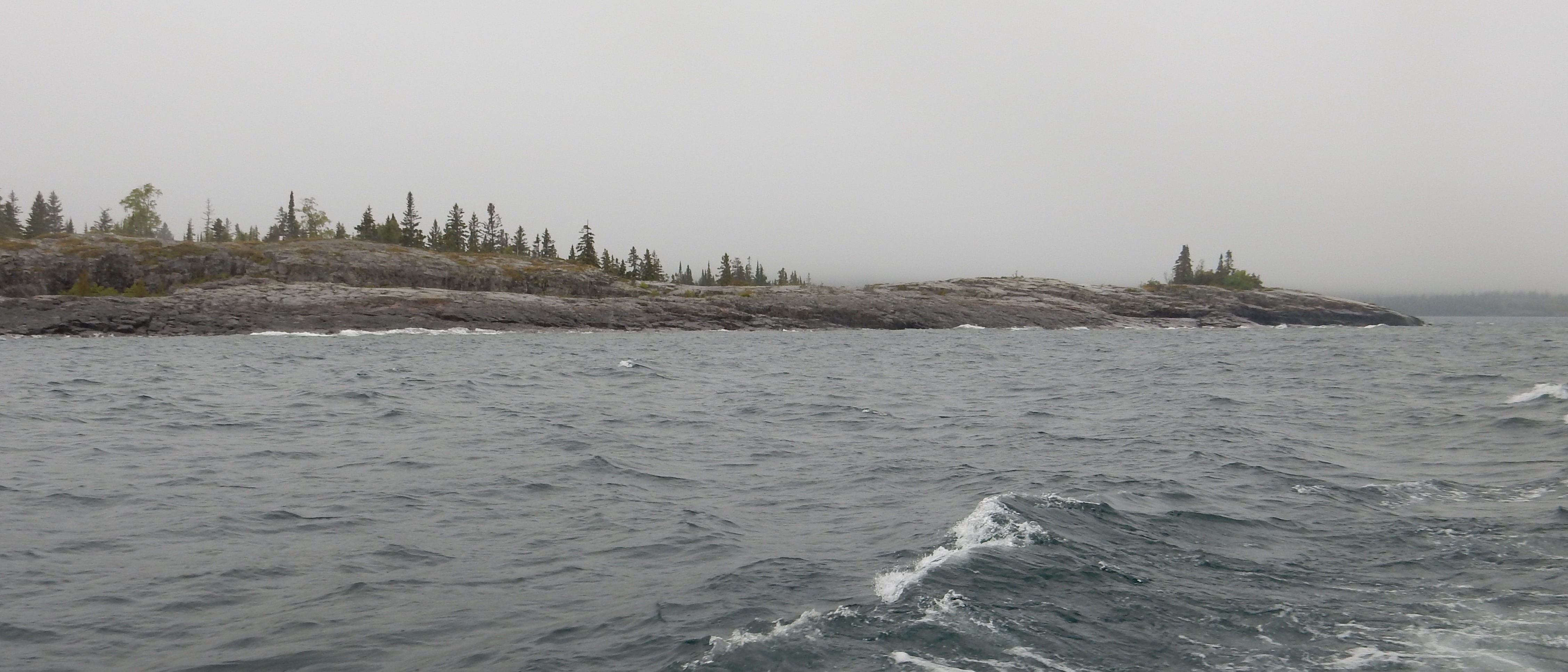
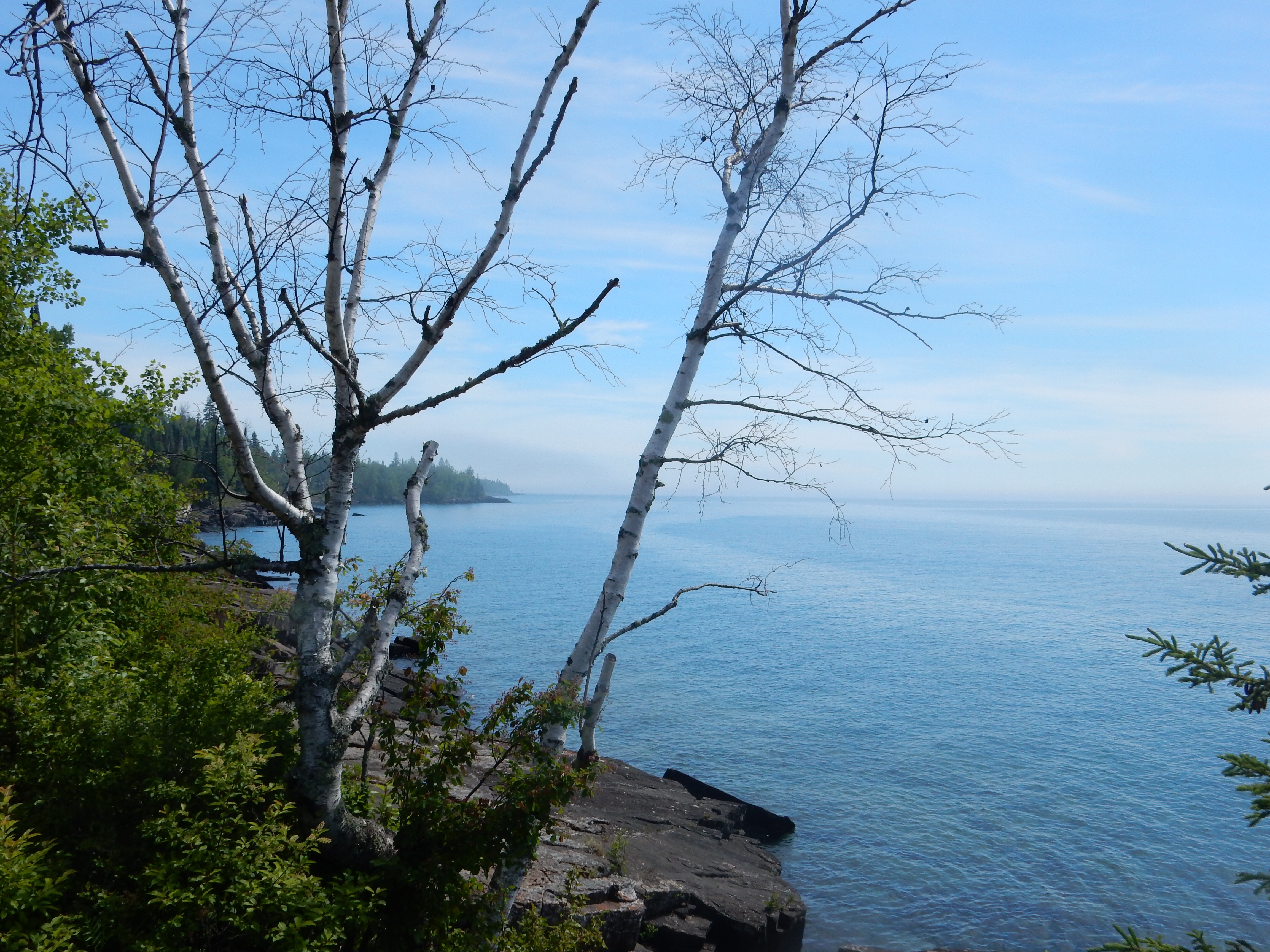
Not to beat a dead horse, but, fog is an ever-present condition in June along the North Shore. Recognize that our definition of North Shore is pretty much at the shore itself of Lake Superior. I would guess that the MN marketing definition includes many points further inland along this 170 mile stretch of Lake Superior from Duluth to the U.S.-Canada border.
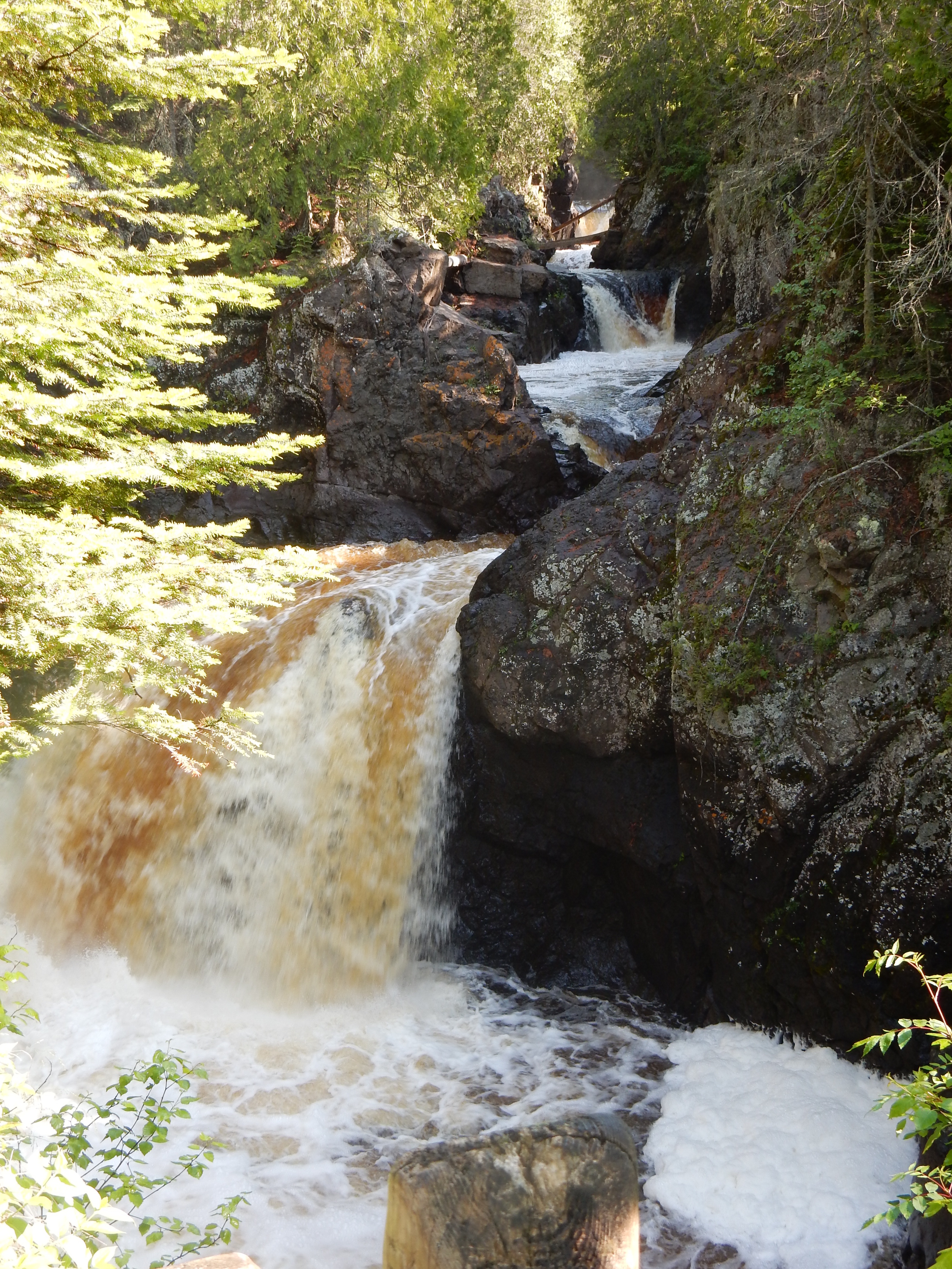
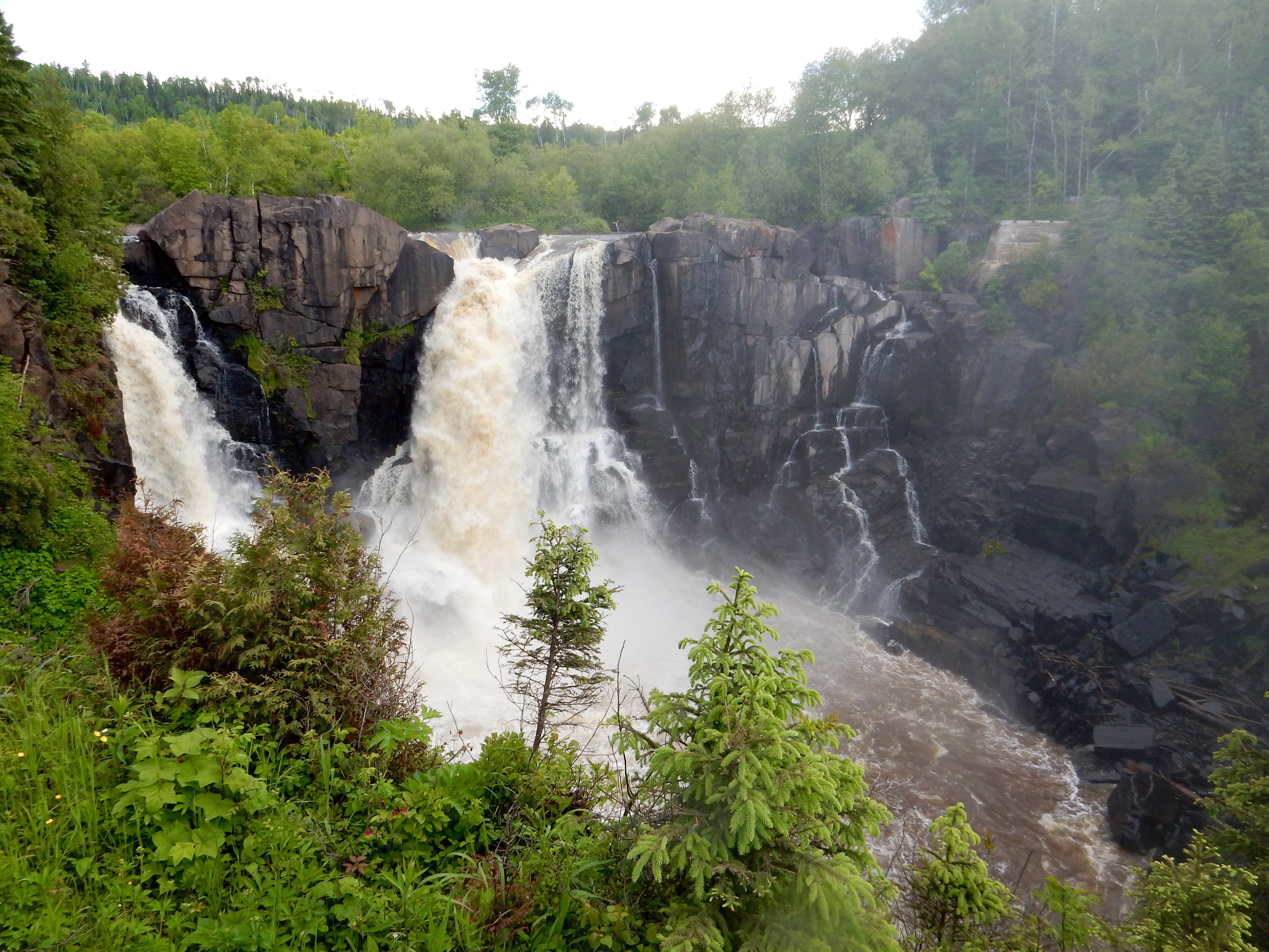
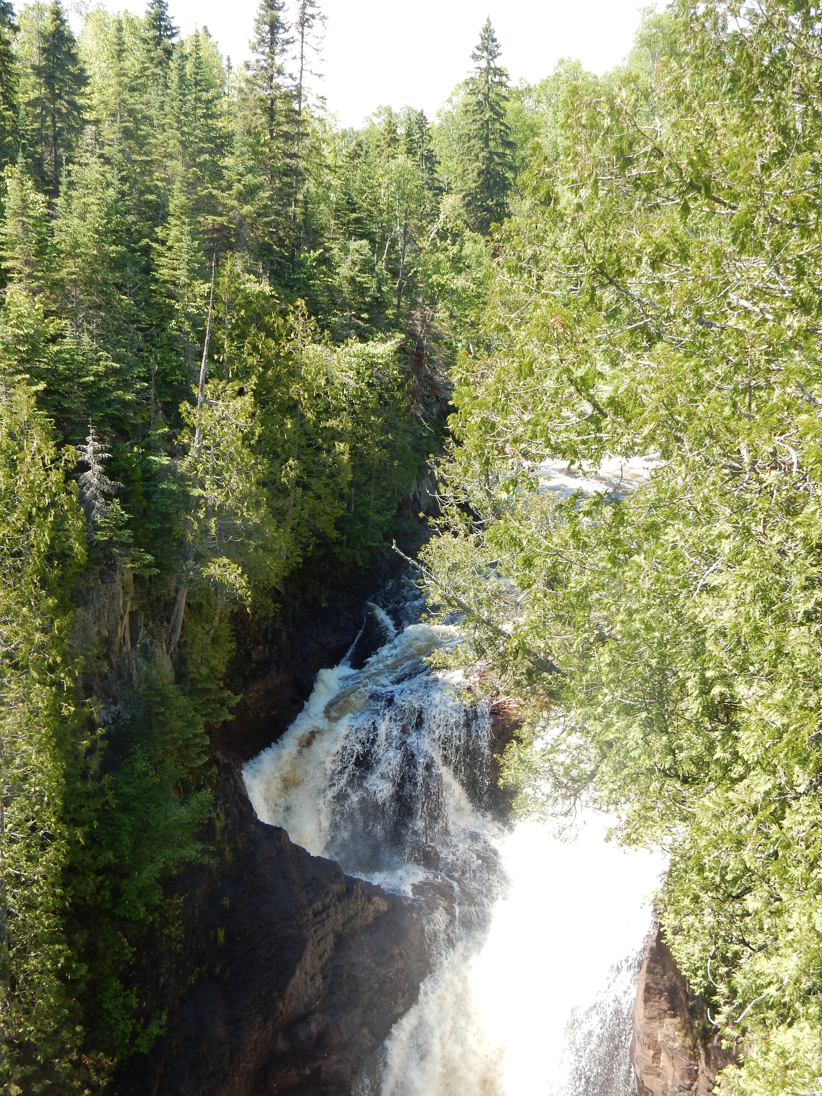
Cascade River Falls, North Shore of MN
We began the day’s adventure at Cascade River State Park, near Lutsen MN, maybe 15 miles west of Grand Marais. I have to comment here on directions. The North Shore is an angle of land that generally is in a northeast to southwest direction. So, while you think of the U.S. and Canada, you think of driving north and south; in most cases here you are going more easterly. Given the road twists and turns, the actual direction at any one time could be just about any direction on the compass.
Hiking to Lookout Mountain
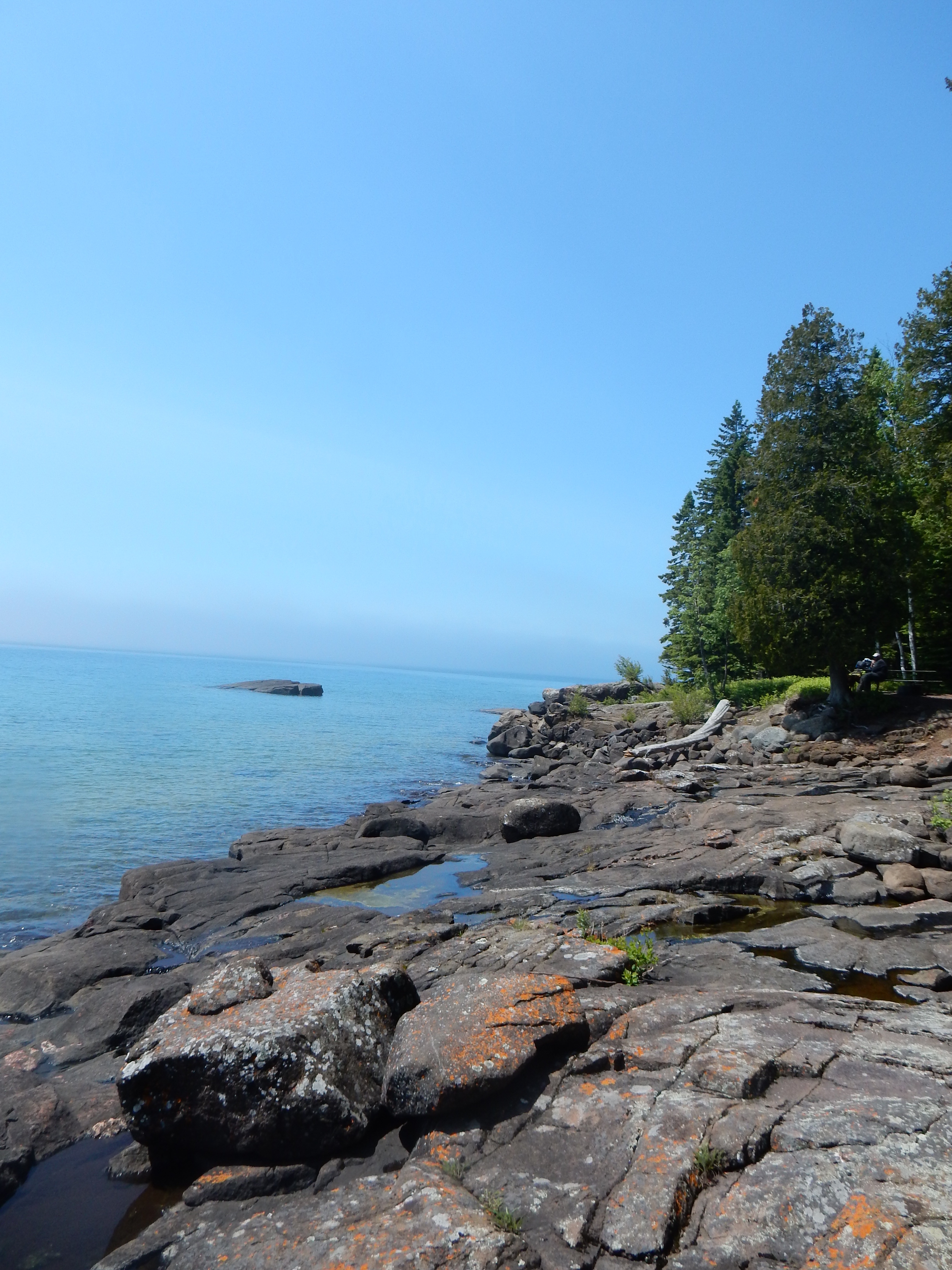
Back to Cascade River State Park. The park is 2865 acres of land stretching from the Lake Superior shore up into the Sawtooth mountains. The shore line is not sandy, it is covered with rocks and pebbles, including the Lake Superior agate. The geology of this area includes lava flows, sedimentary rock laid down by ancient oceans, glacial action and other geologic and erosive actions. The Lake Superior agate, the state gemstone, is noted for its rich red, orange and yellow coloring, created by the iron in this area. Agate hunting among the rocks is a popular pastime for visitors, much like shell hunting along ocean beaches.
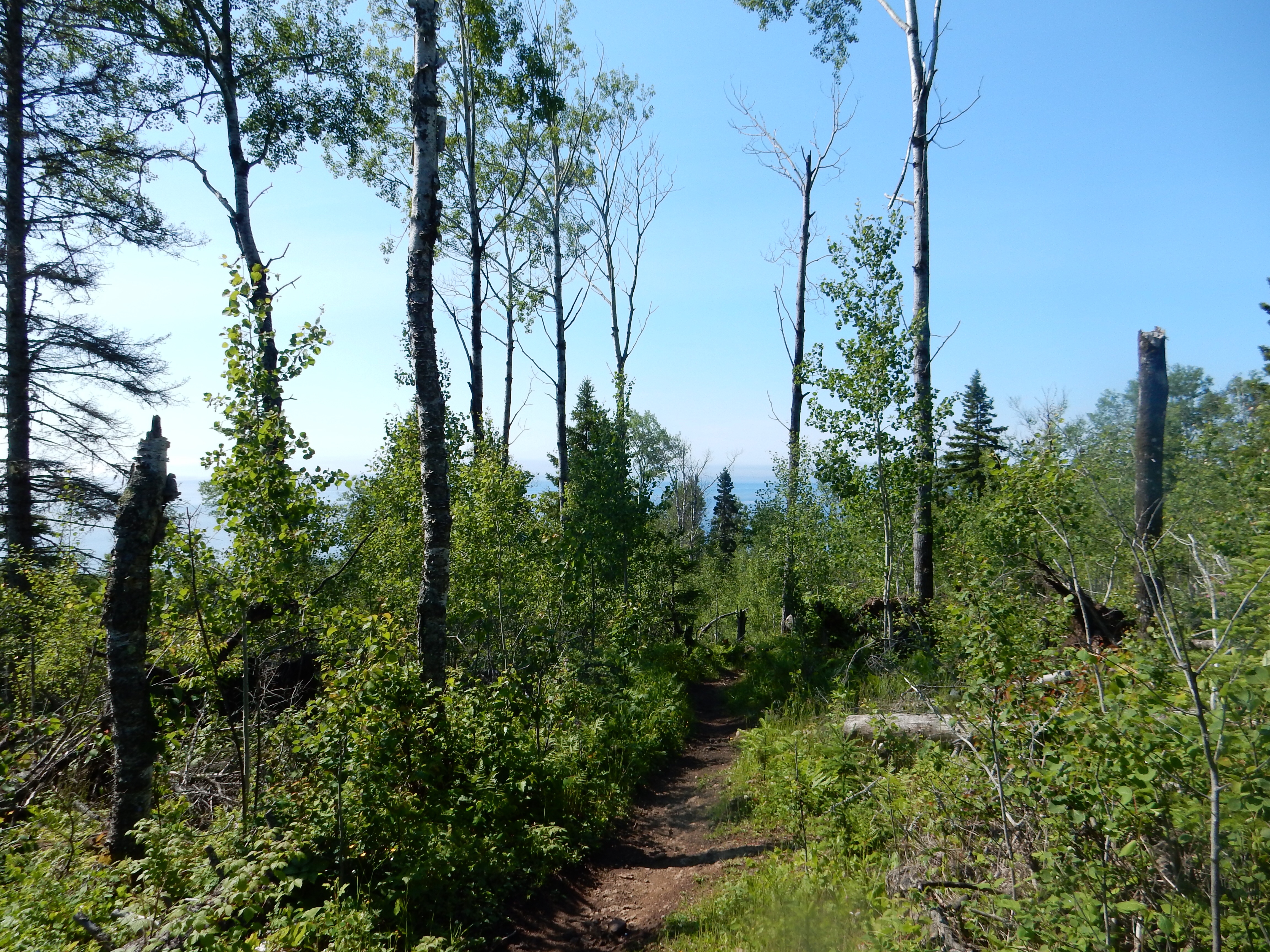
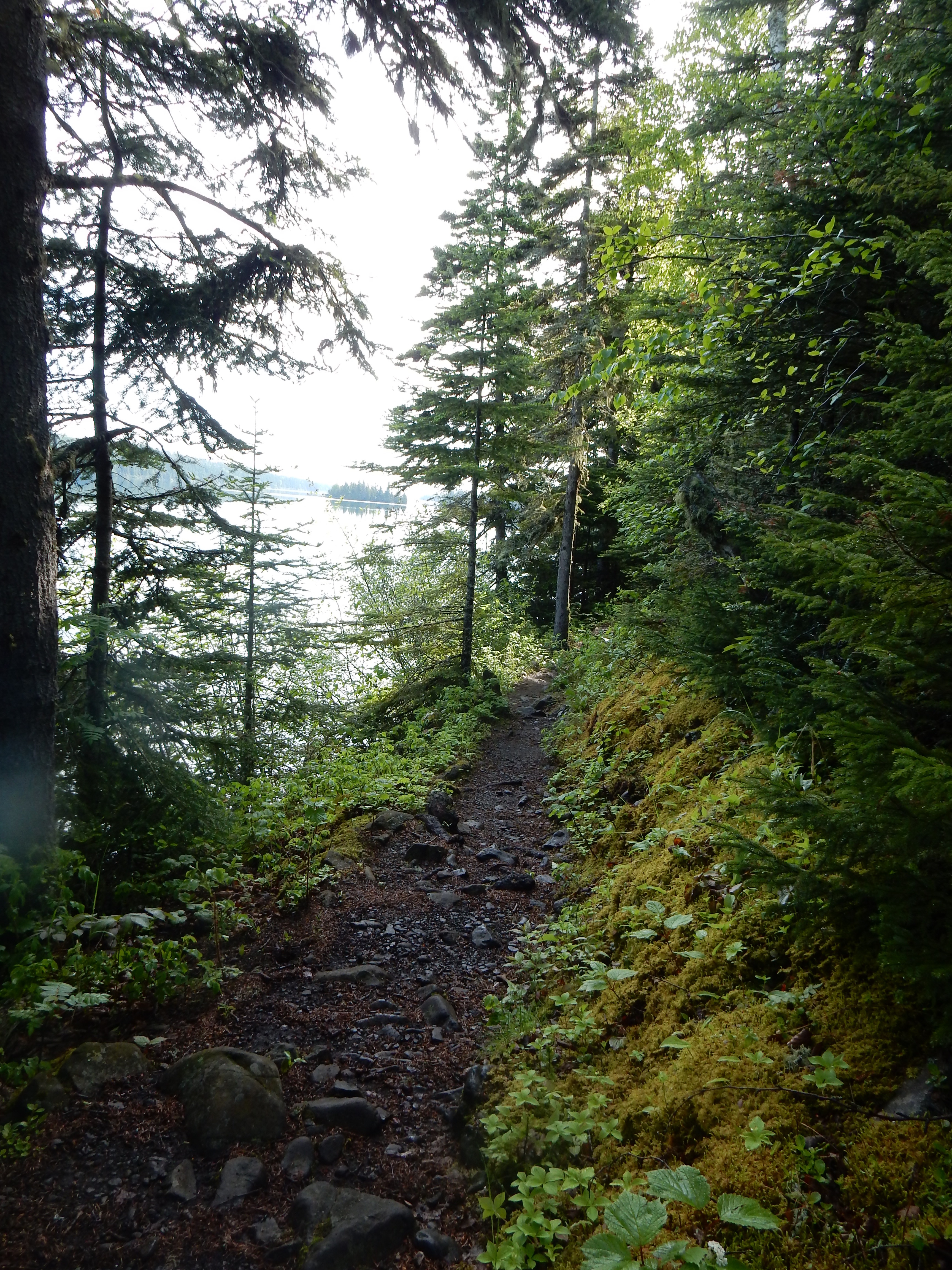
View of Lake Superior from the trail

Butterflies along the trail
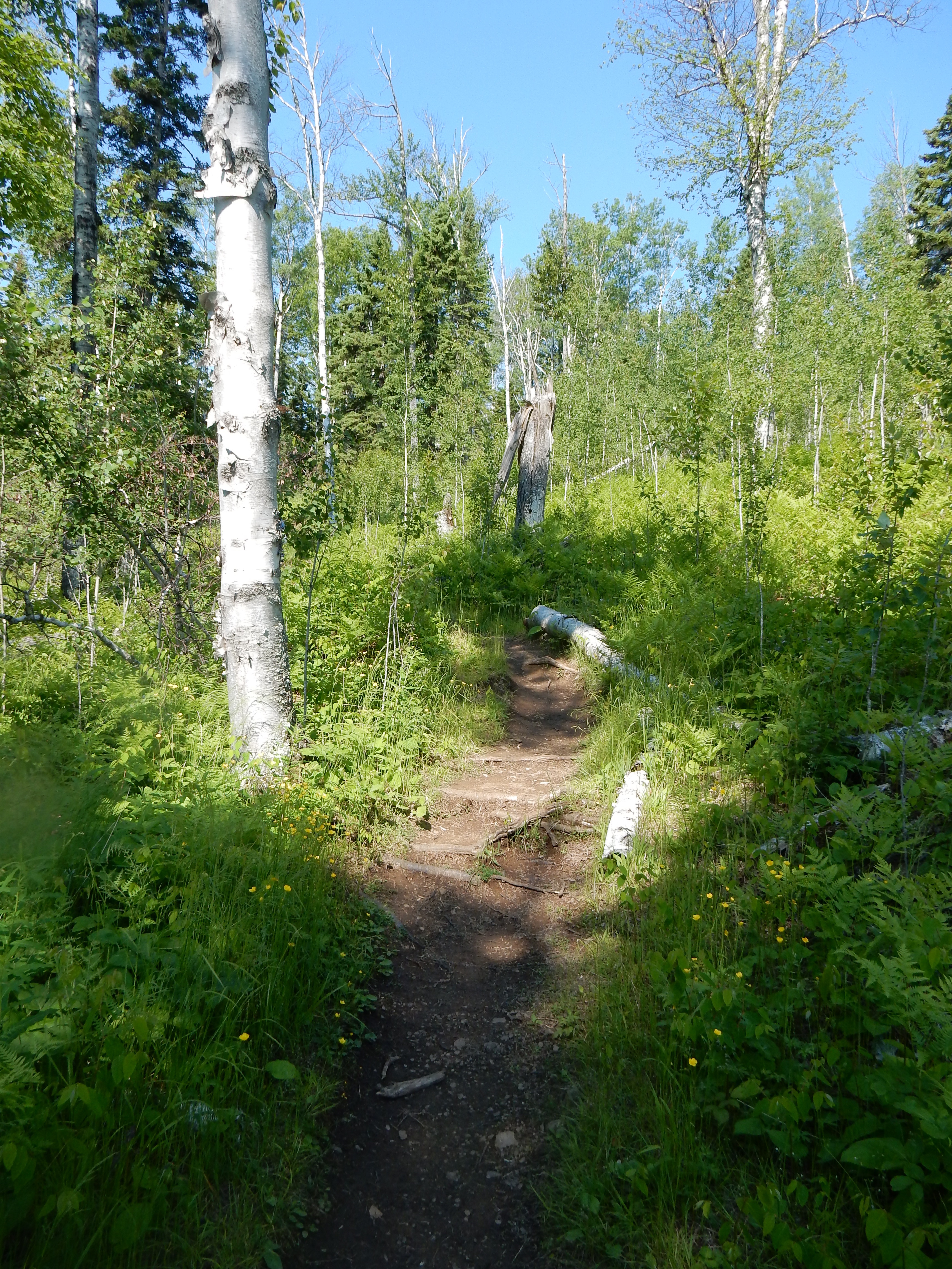
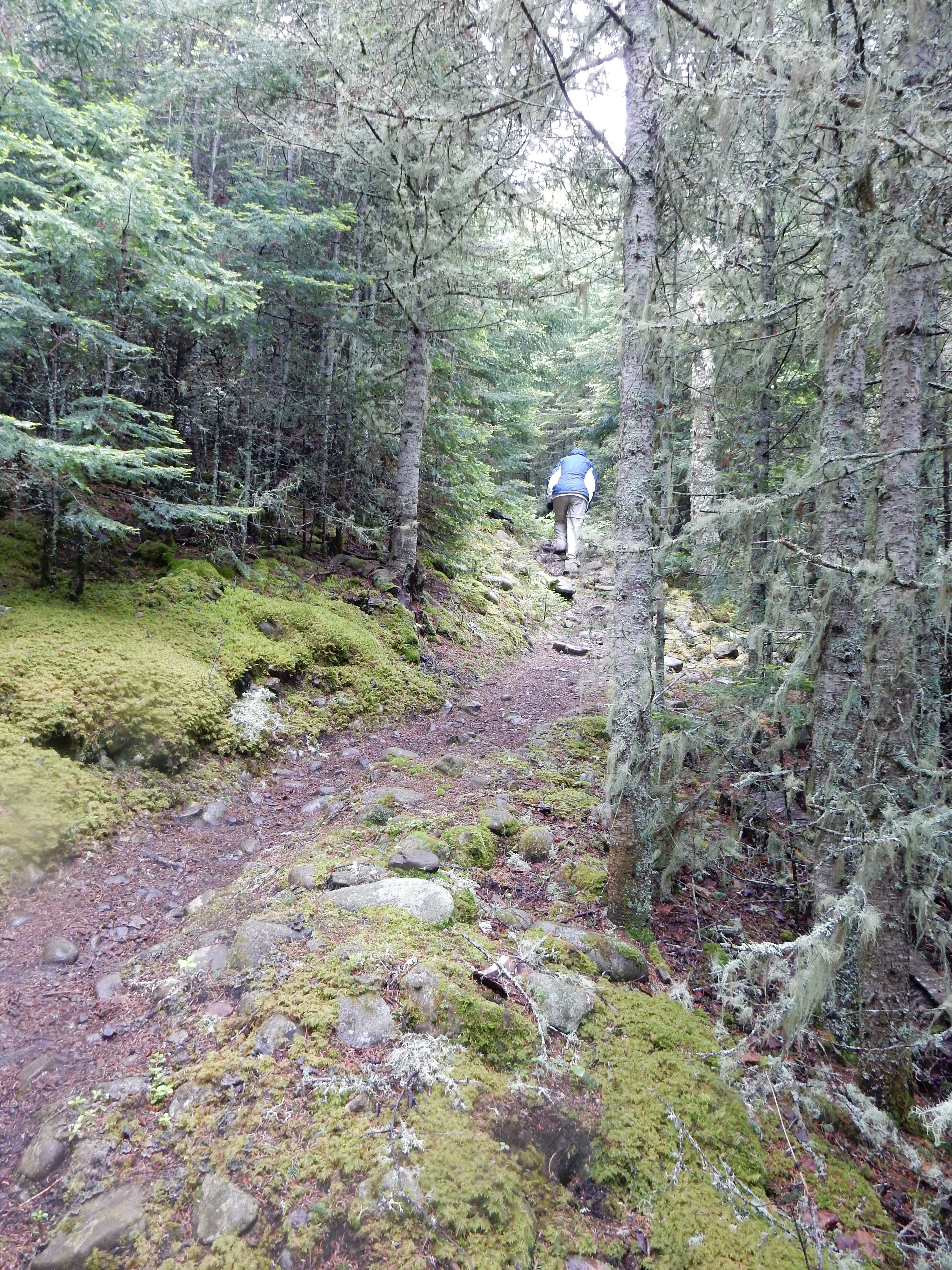
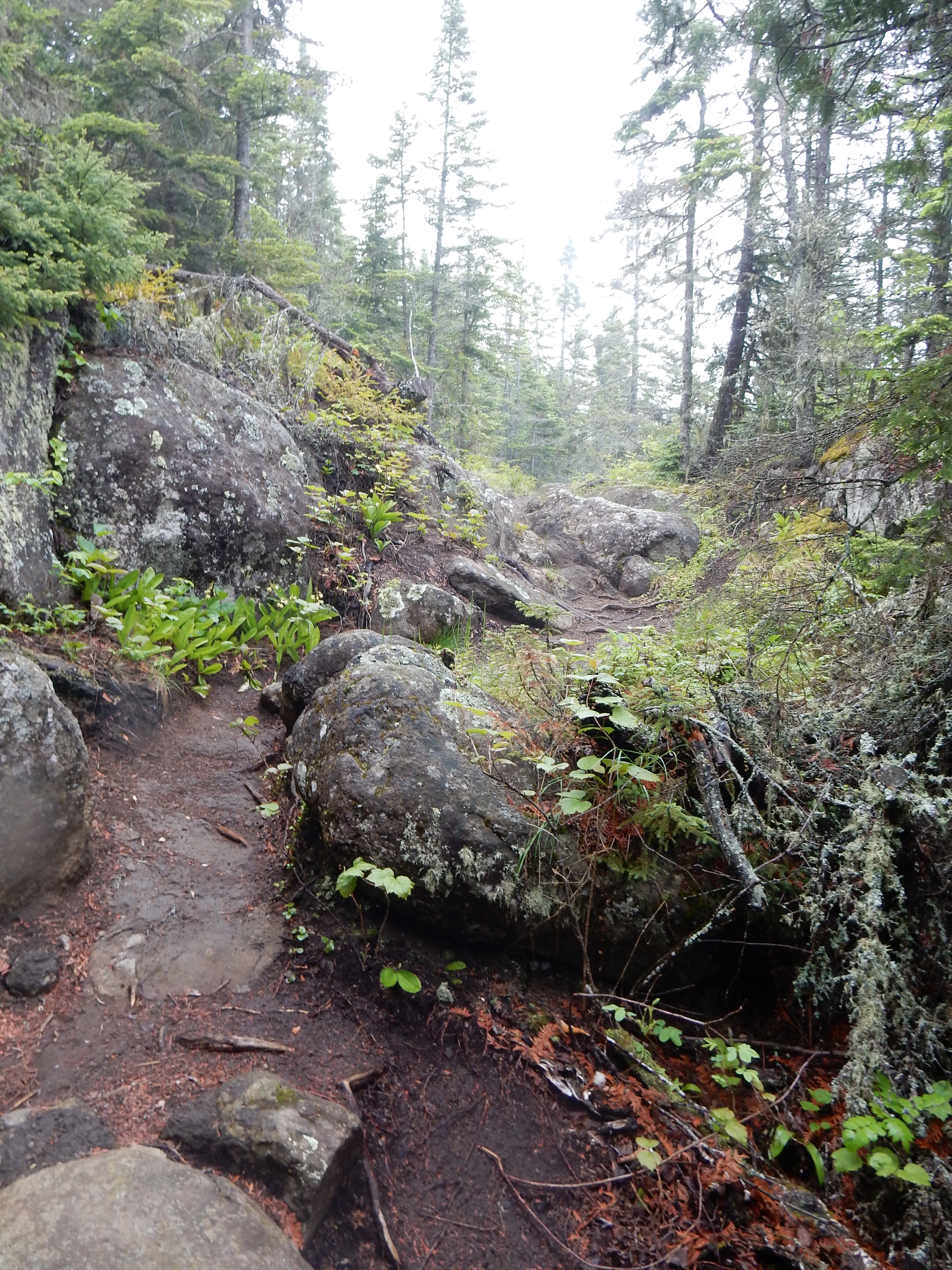
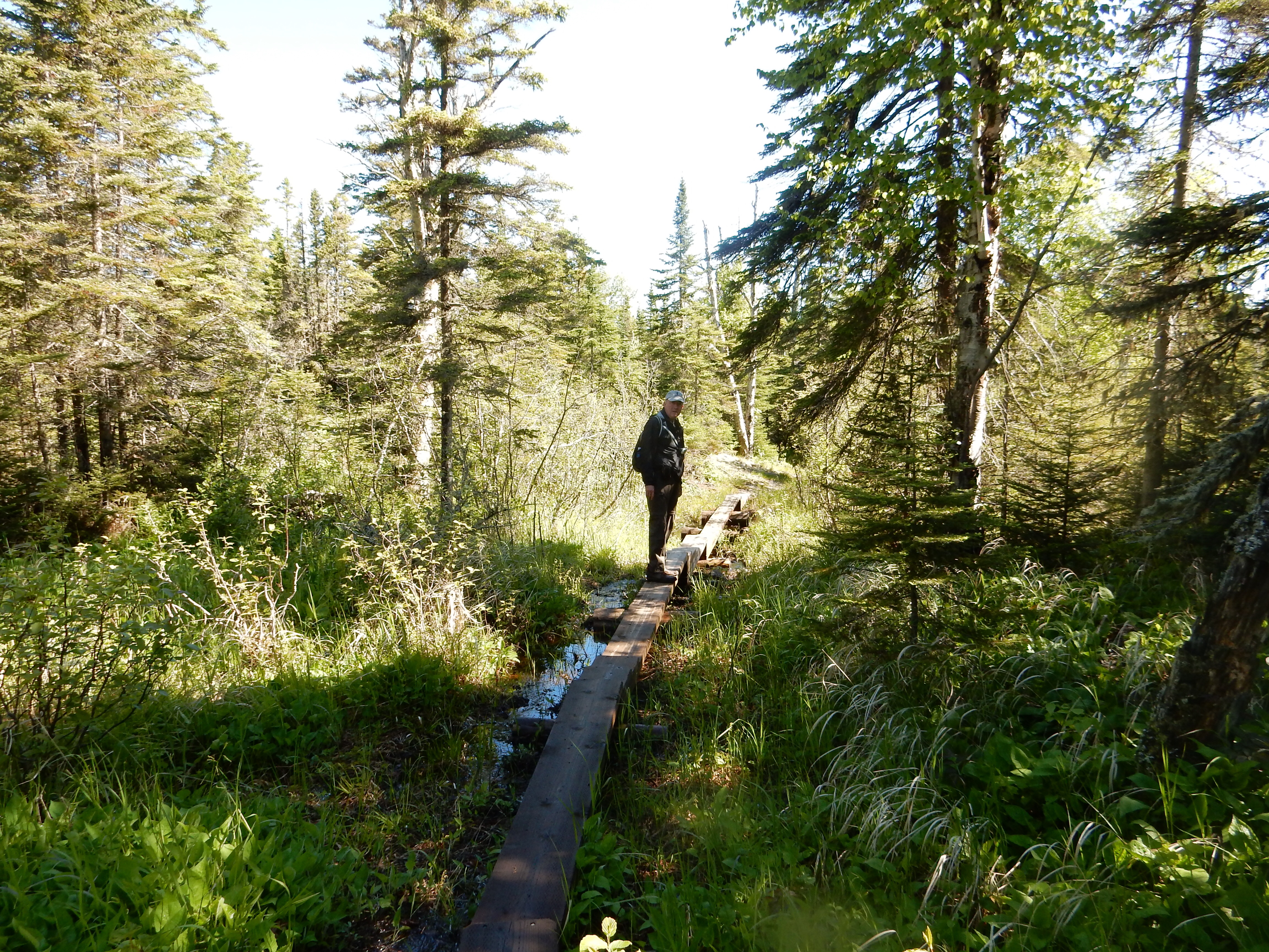
Our focus is more on tall rocks. Our first hike takes us on a 3.5 mile, 600 foot elevation gain trail to Lookout Mountain in the Sawtooth Mountains that create the spine along Lake Superior. The trail winds through birch, pine, fir and spruce trees with numerous wildflowers. The trail path varies from rocks, tree roots, and muddy areas-although not as muddy as Isle Royale. Mosquitoes are present but nowhere near as plentiful nor as hungry as the ones at Isle Royale. For us, the hike is doable and great exercise. The calves may be a little sore tomorrow though.

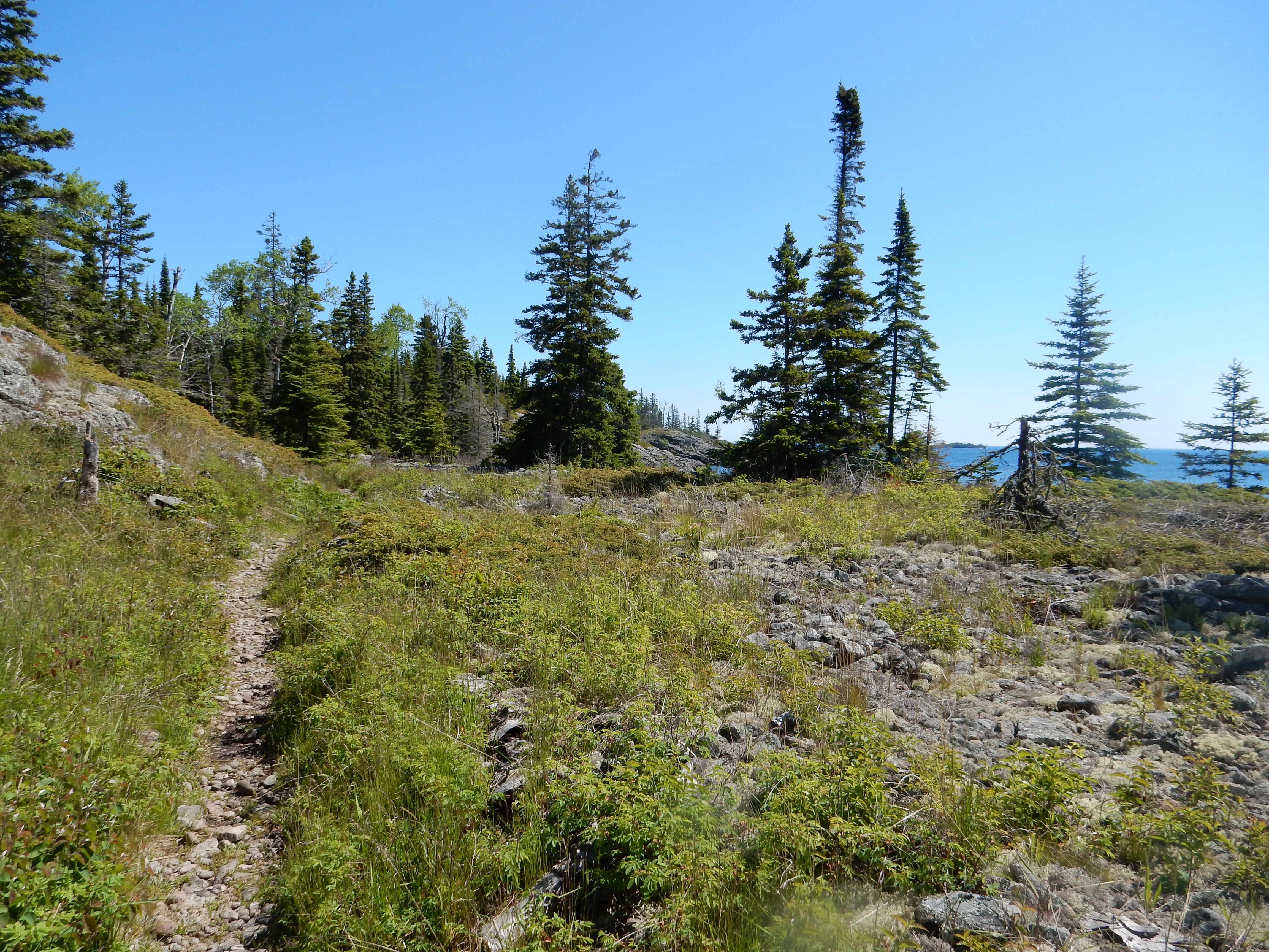
View from Lookout Mountain
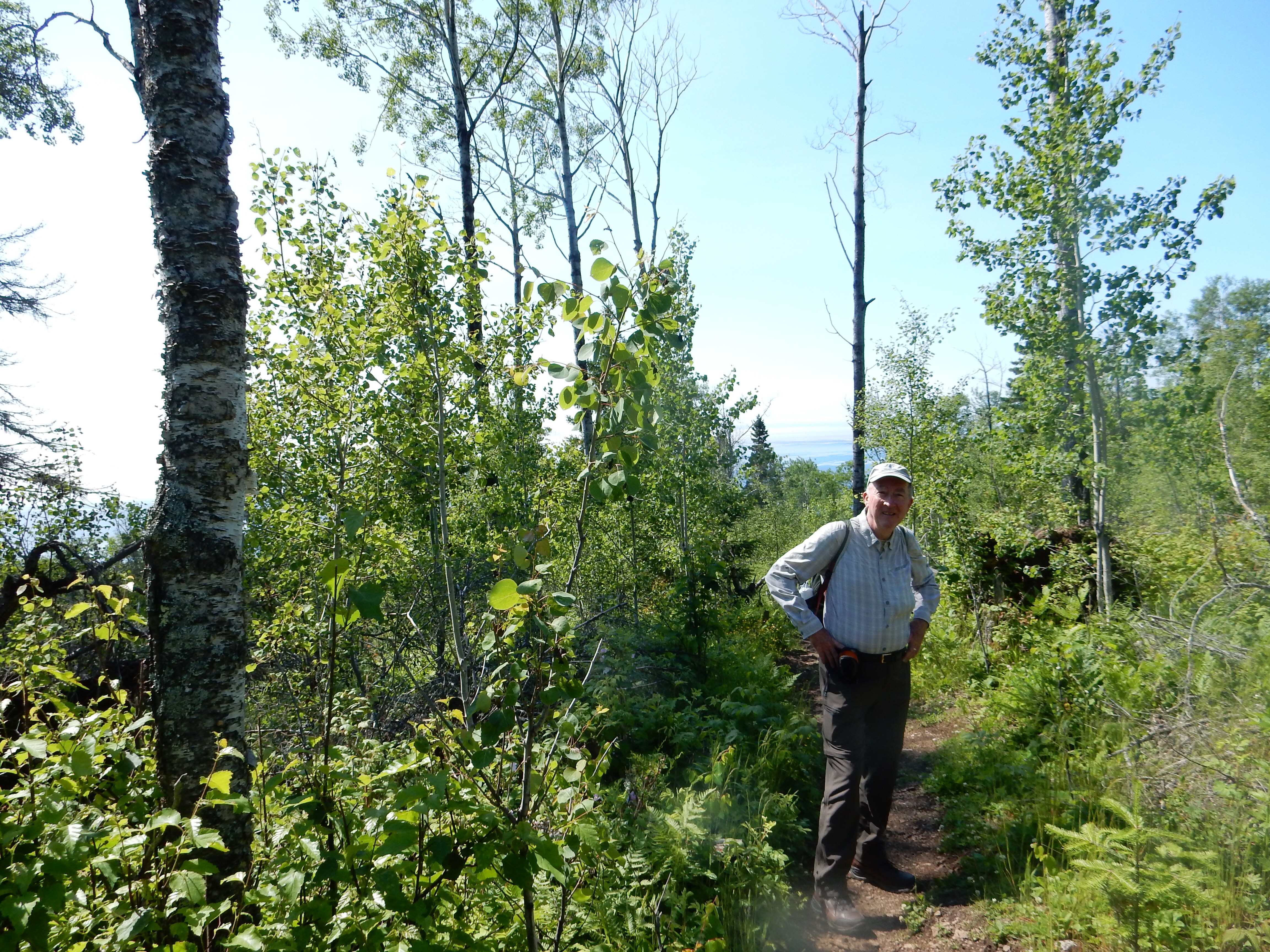
Ed on the trail heading back down
At the top of Lookout Mountain, the view is more of the trees and valleys of the Sawtooth Mountains. You can see Lake Superior down below but at an angle and the surface of the water merges into the skyline. Early on in the hike, we pass over and along the Cascade River. Here the falls and rapids are once again running fast and easy on the eyes.

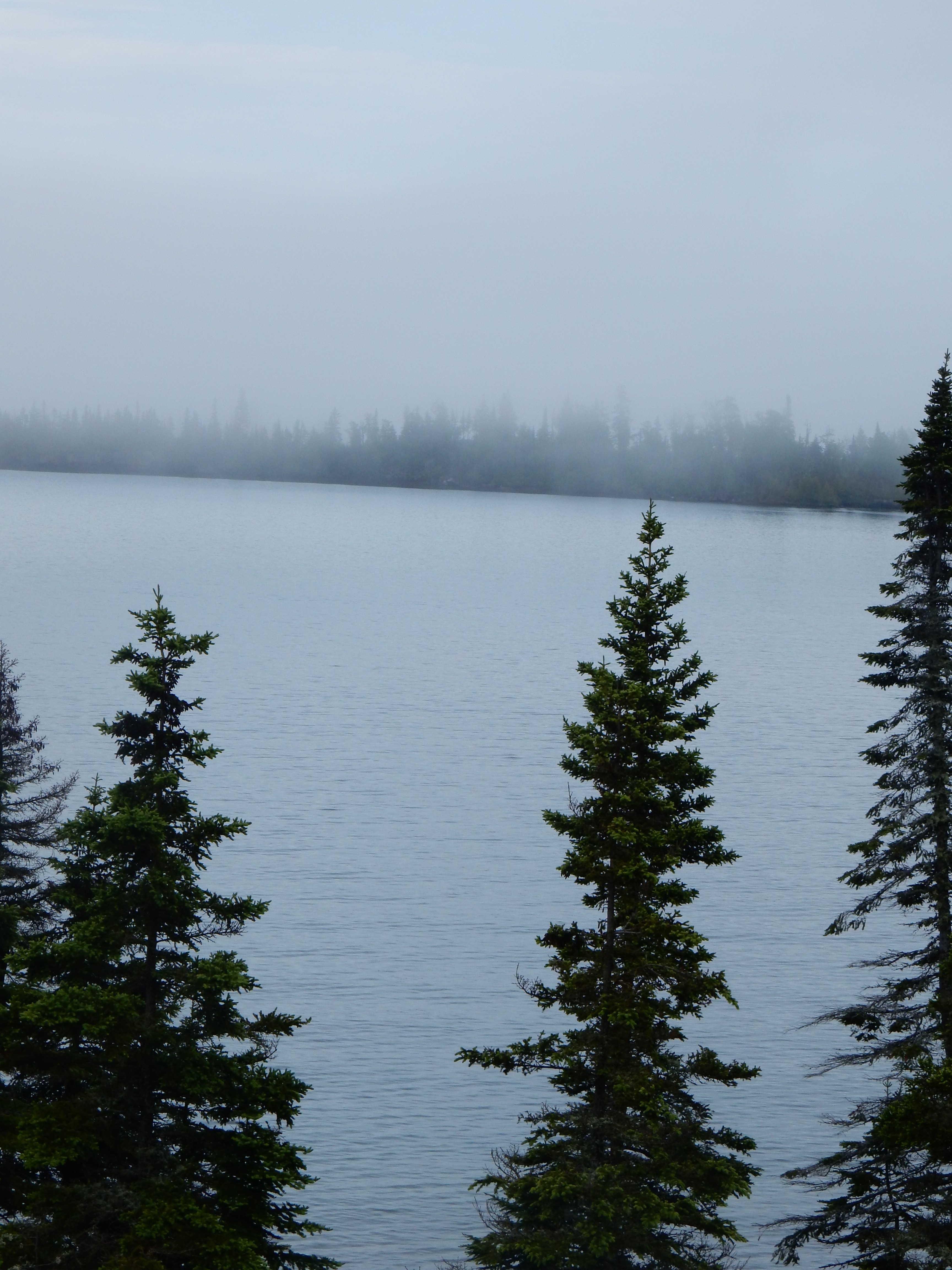
Fog moves in while we eat our granola bar
Granola bar done, fog moves out
When we return from Lookout Mountain, we follow the trail along the river to view more falls and rapids before heading to the shoreline for a granola bar to fortify ourselves prior to the next park and hike. Here we meet the fog again, and the combination of fog, cold lake water, and shade along the shore produce a rapid drop in temperature. The fog comes and moves away, just in the time it takes to eat a granola bar.
Our next park is Temperance River State Park, between Tofte and Schroeder, MN. The Temperance River is named due to the fact that there is no (sand) bar at its mouth. The park land is combined with the Cross River State Wayside to create 2700 acres of rock, forest and shoreline with both the Cross River and Temperance River to view and walk along. We skip the Cross River with its falls right at the highway and head for the Temperance River.
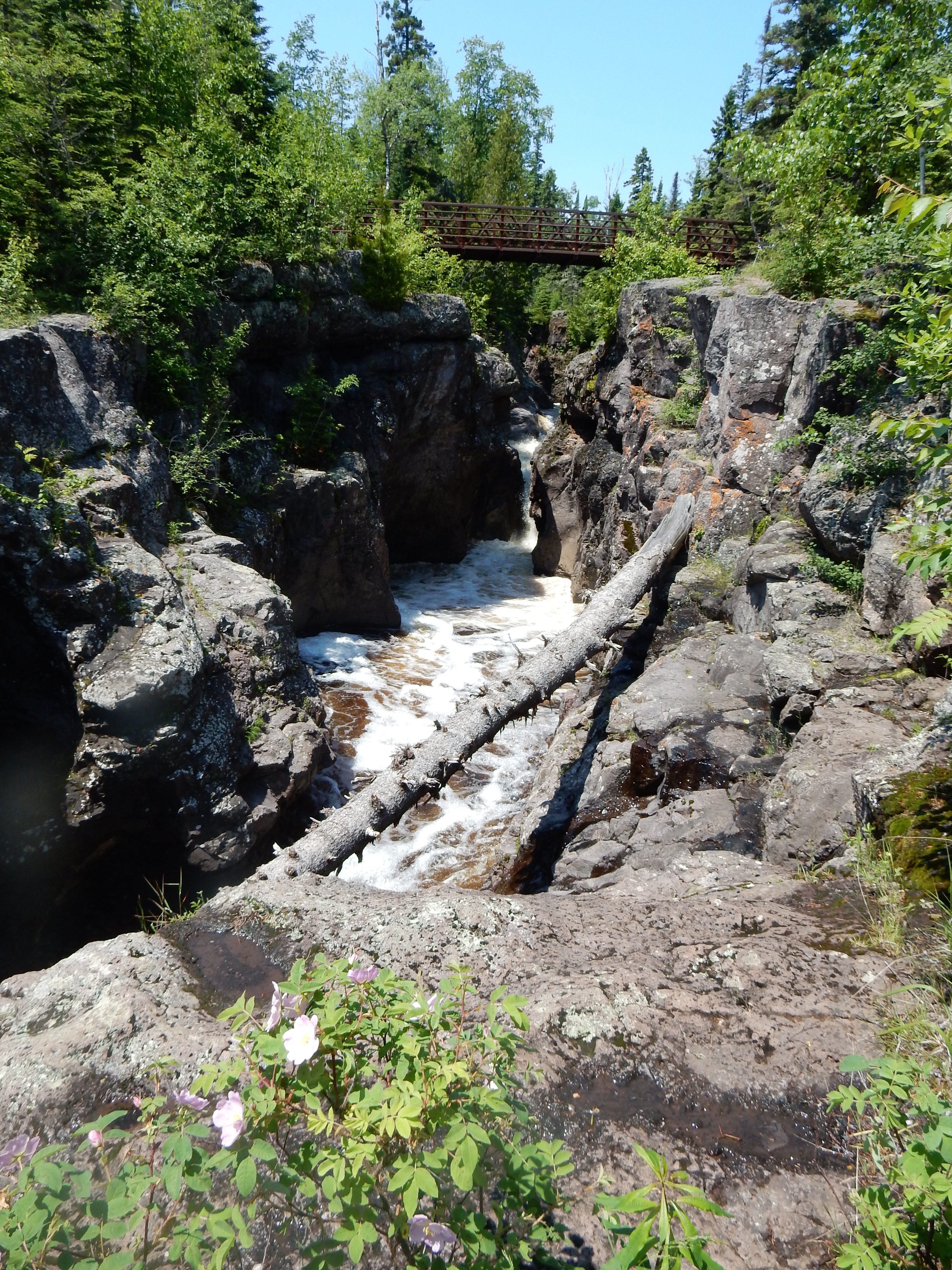
Temperance River
The Temperance River and its gorge create numerous waterfalls and potholes-those deep holes created by swirling waters cutting through the rock. Potholes aren’t rare but are not common either. For instance, one can view them along the St. Croix River at St. Croix Falls or along the Presque Isle River in the Upper Peninsula of Michigan.

Temperance River before the rapids
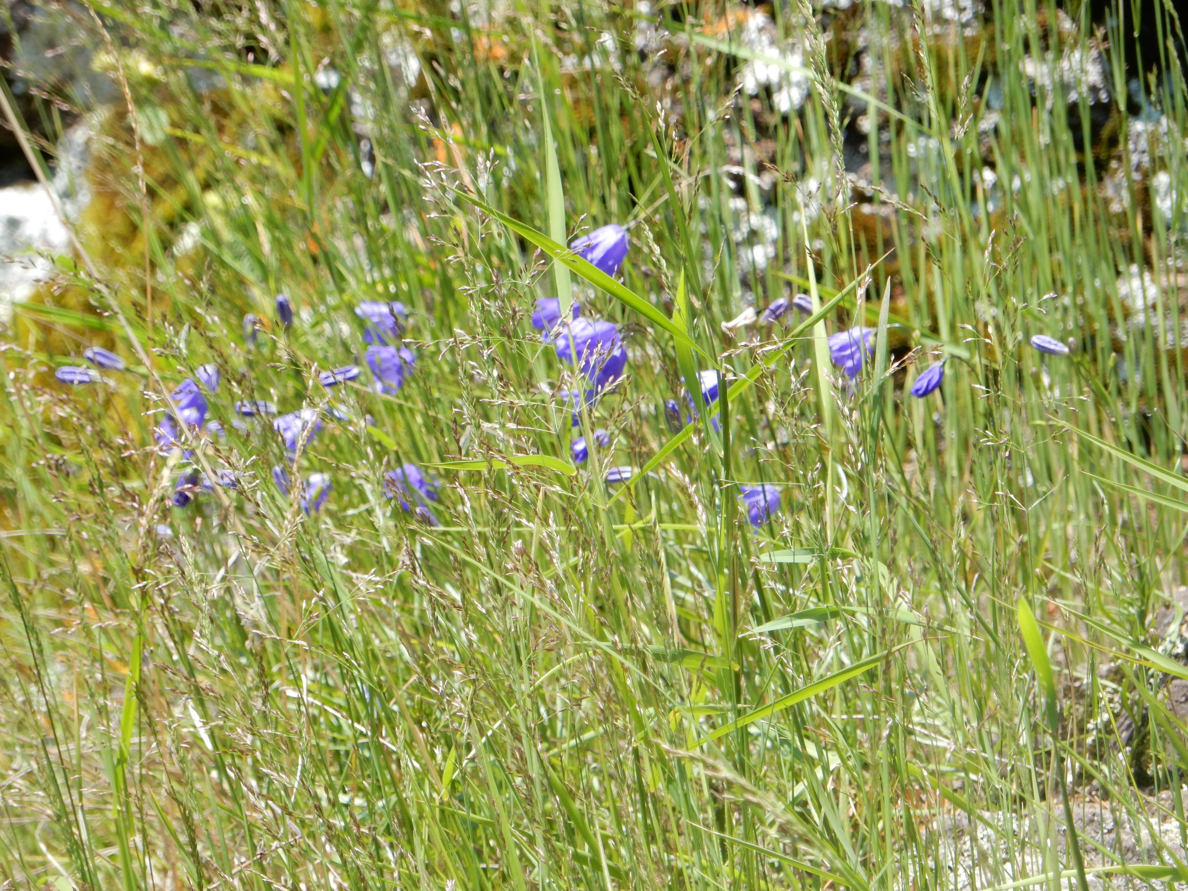
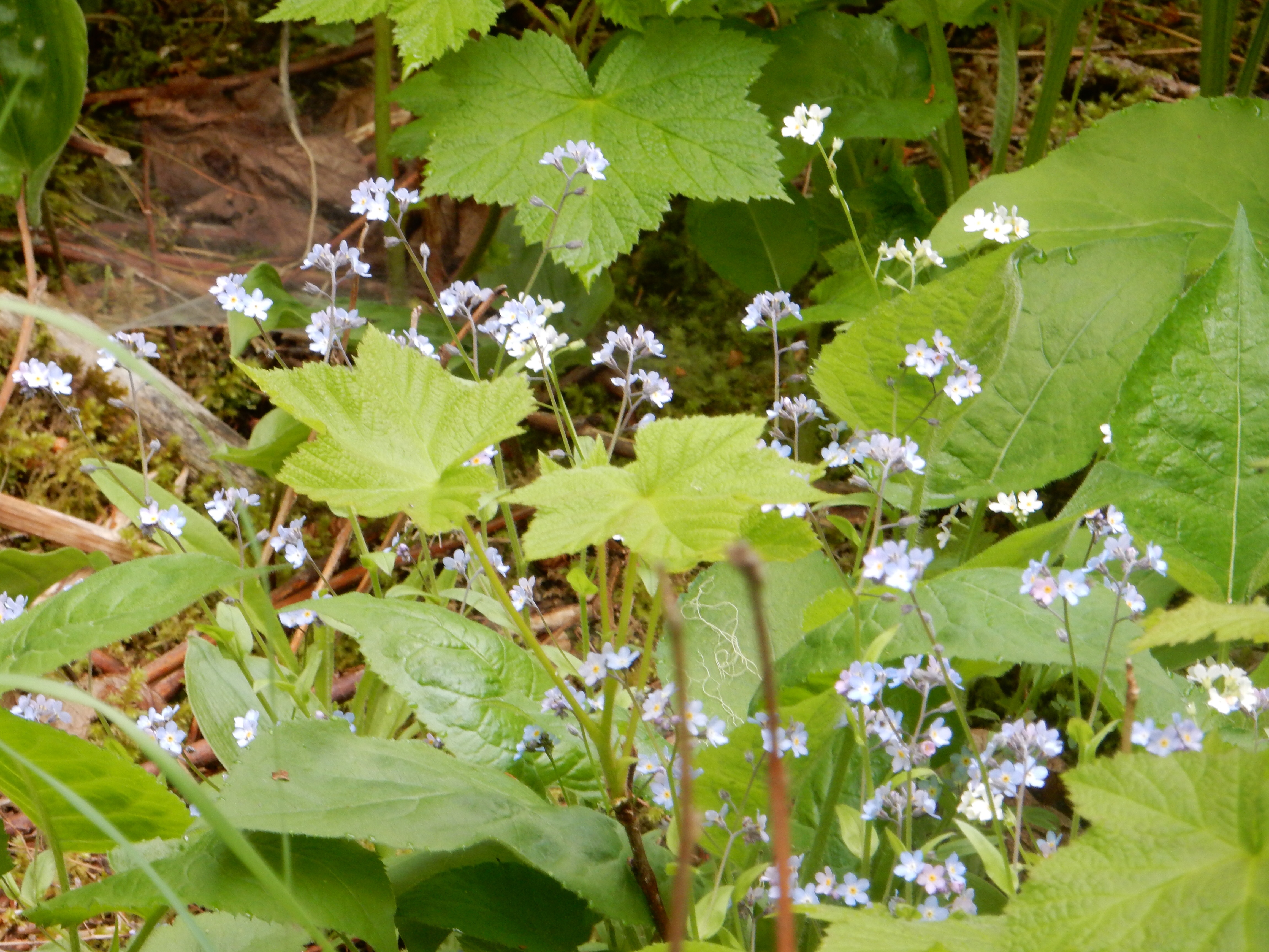
One shot of many of wildflowers along the trails
This hike is a popular one, lots of people and families. At many of the falls, Highway 61 and the parks provide for parking opportunities and easy access. The early part of the trail is steep and we observe people struggling with it. The views and rushing water make the effort worthwhile. We hike the river on both sides of Highway 61 since there are falls and rapids on both. Down near the shore, some teenage boys are swimming; they stay pretty much in the current of the river, the lake water is too cold.
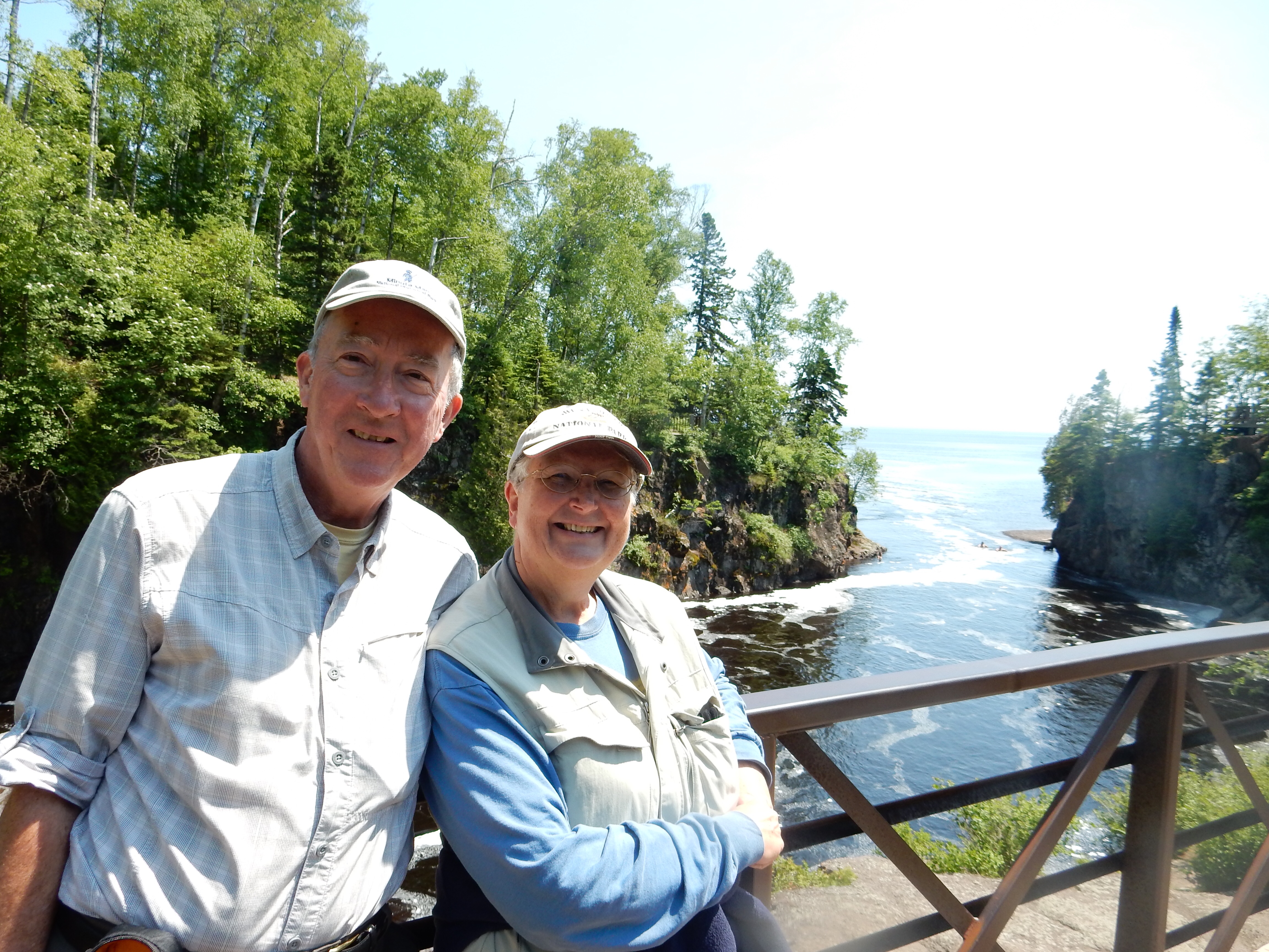
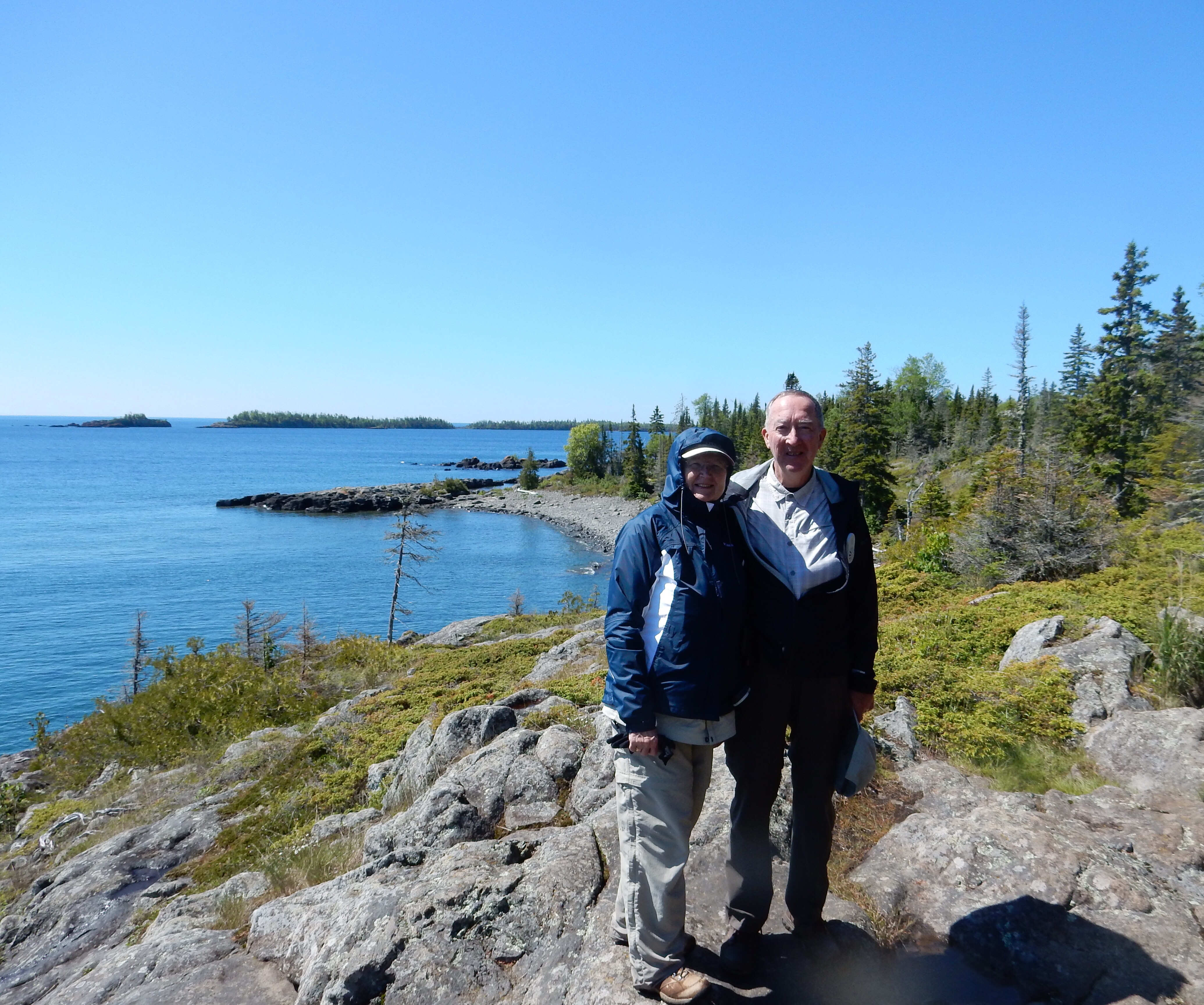
Ed and Chris as the Temperance River flows into Lake Superior

Chris hiking down towards Lake Superior
Chris takes the picture of a couple from the Cities. He is planning, but may not, race in the 99er Bike Race at Lutsen, co-sponsored with LifeTime Fitness. This is 1500 trail bike riders traversing rocks and ridges for 99 miles in one day (although there are options for 19 and 39 miles also) through the forests of the Sawtooth Mountains. After talking with them, we start to notice the cars heading north with bicycles attached. Stopping for a snack of cheese quesadillas afterwards, we meet two guys from Madison WI who will be making the ride.
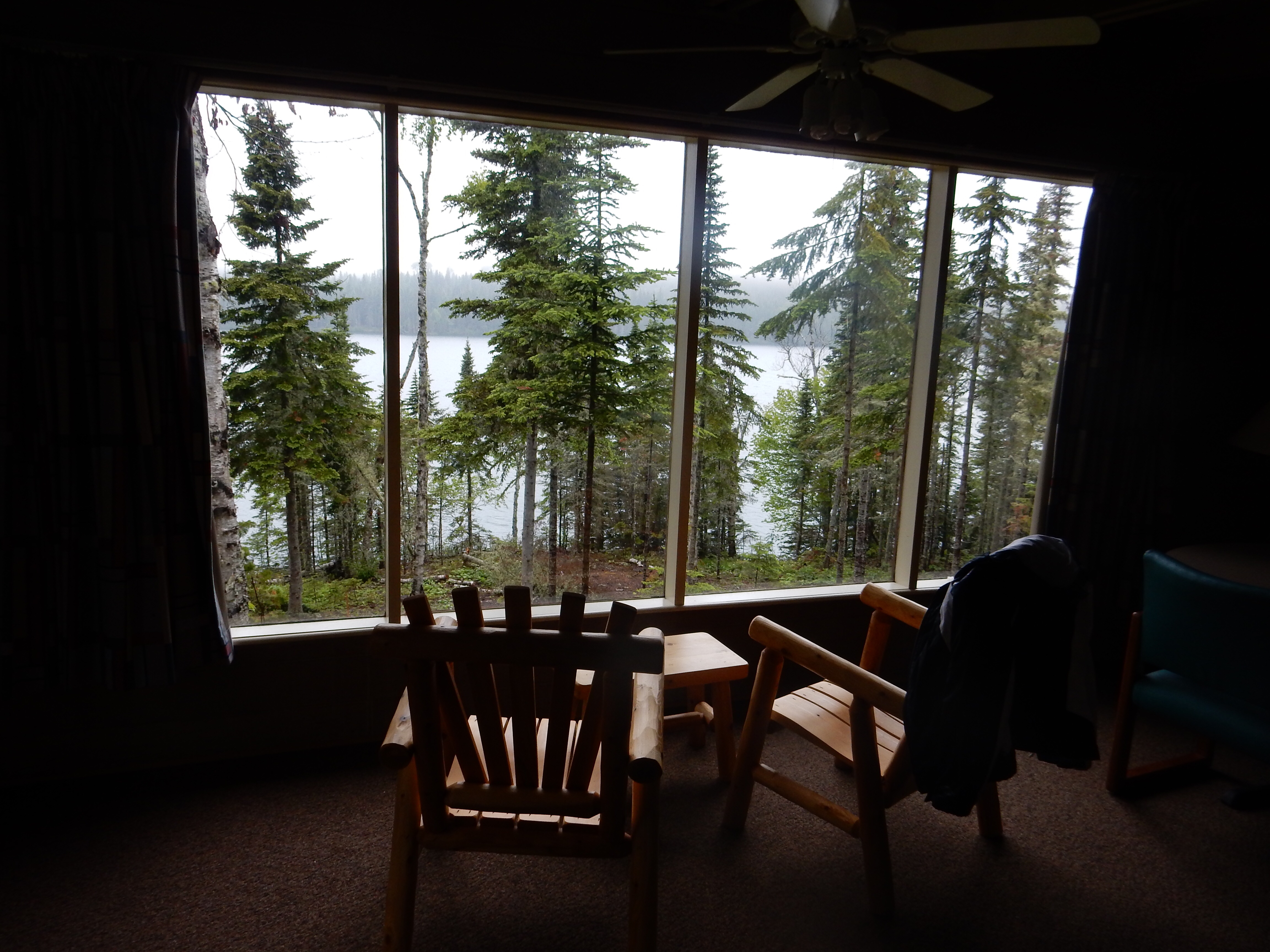
Our lodging for the next two nights is a small cabin between the highway and the shore in Little Marais. Little Marais is not even a town, just a “community” nestled along the highway. Lakeside Cabins and Colonial Estates has lakeshore cabins and log homes on the bluffs. We have a teeny, tiny cabin that has been renovated in a pleasant log cabin interior finish. This is good because the shell of the building dates back to the 1880s when it was the homestead of the Fenstads, one of the Finnish settlers in this region.
We drive up to Finland (Finnish settlers in the area, got it?) and purchase some groceries from the 100 year old cooperative grocery/hardware store. We drive down to Beaver Bay, 15 miles west (south) and have dinner at Lemon Wolf Cafe. We share the pecan chicken dinner-once again, North Shore eateries have produced great meals.
All in all, a pleasant day on the North Shore.
Ed and Chris June 27


Recent Comments