Waterville, MN
If you are looking for dramatic landscapes and vistas, or culturally important historical sites, today’s post is not for you. This is a slice of Americana. A visit to a small town and its community festival. Not even a visit to small towns with major sightseeing opportunities; that will come later as we travel along the Mississippi. As usual, this is not a definitive post, it represents our impressions and our way of traveling.
The idea for this weekend came from Kolacky Days in Montgomery MN and from the Singing Hills Sakatah Lake Minnesota State Bike Trail. Kolacky Days are a community festival based around the kolacky pastry. Kolacky, also kolach, kolachy, kolache, etc is a Czech word for a pastry that has a fruit type filling; prune, apricot, poppy seed, apple, raspberry, etc are all popular. The pastry resembles a soft dinner roll. Montgomery MN has a strong Czech heritage; in the late 1800s the town had the largest Czech population of any MN town. Even today, when reviewing the last names of the festival queen candidates, it is obvious that many of those early settlers descendants are still living in the area.
The festival has been in existence since 1929. We have heard about it numerous times over the years and thought it might be worthwhile to visit. We have been to other community festivals over the years; Summerfair in Carlisle, Grand Old Day and Highland Fest in St. Paul, Lumberjack Days in Stillwater, etc. Montgomery is about an hour south of St. Paul and is a town of about 3,000 people. An easy drive.
However, we decided to make a weekend of it. Chris has been wanting to bike the Sakatah Singing Hills State Trail for some time now. The trail is paved, basically level, and runs from Faribault to Mankato, a distance of 39 miles. The trail is on an abandoned railroad line. Sakatah State park is along the trail.

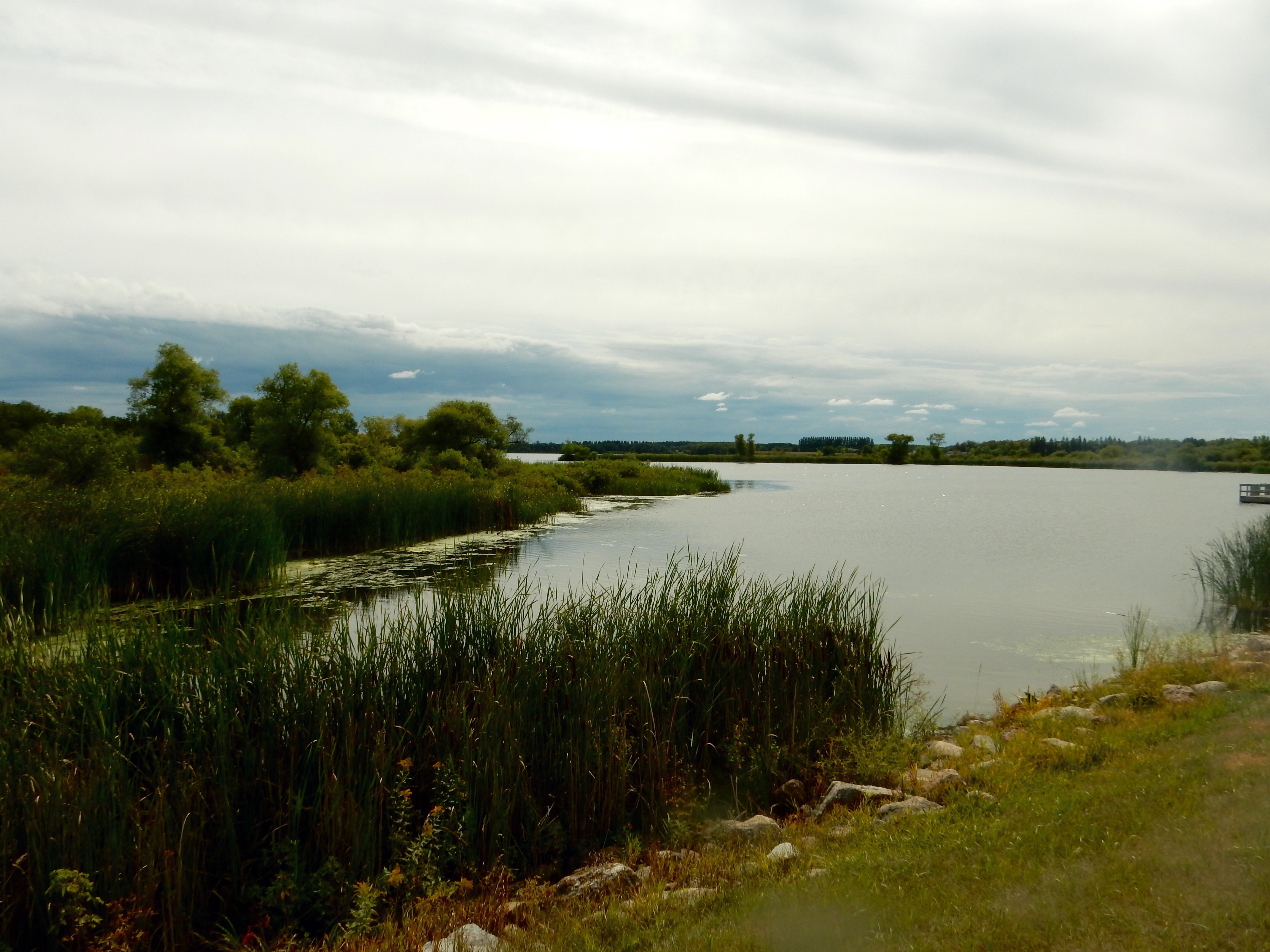
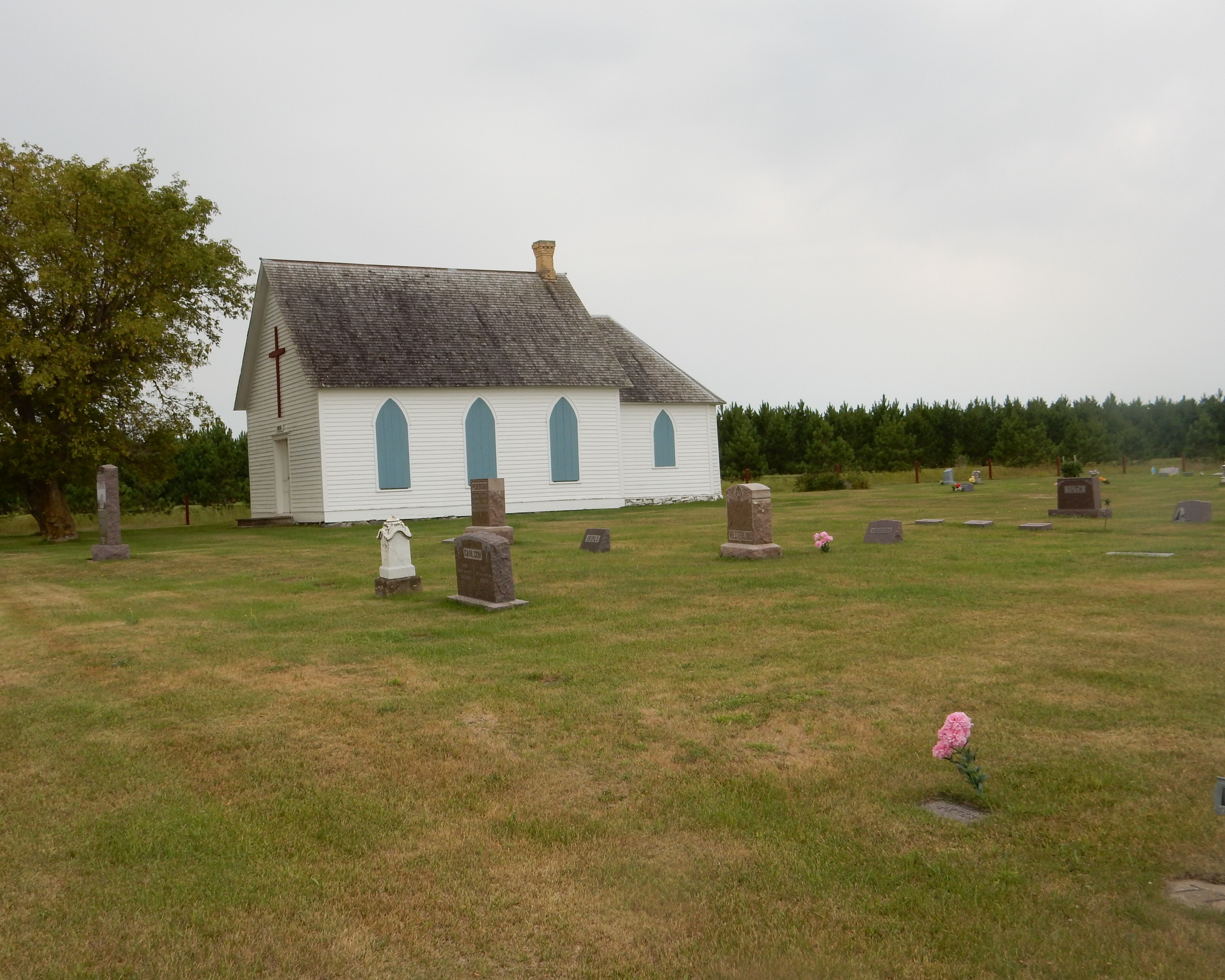
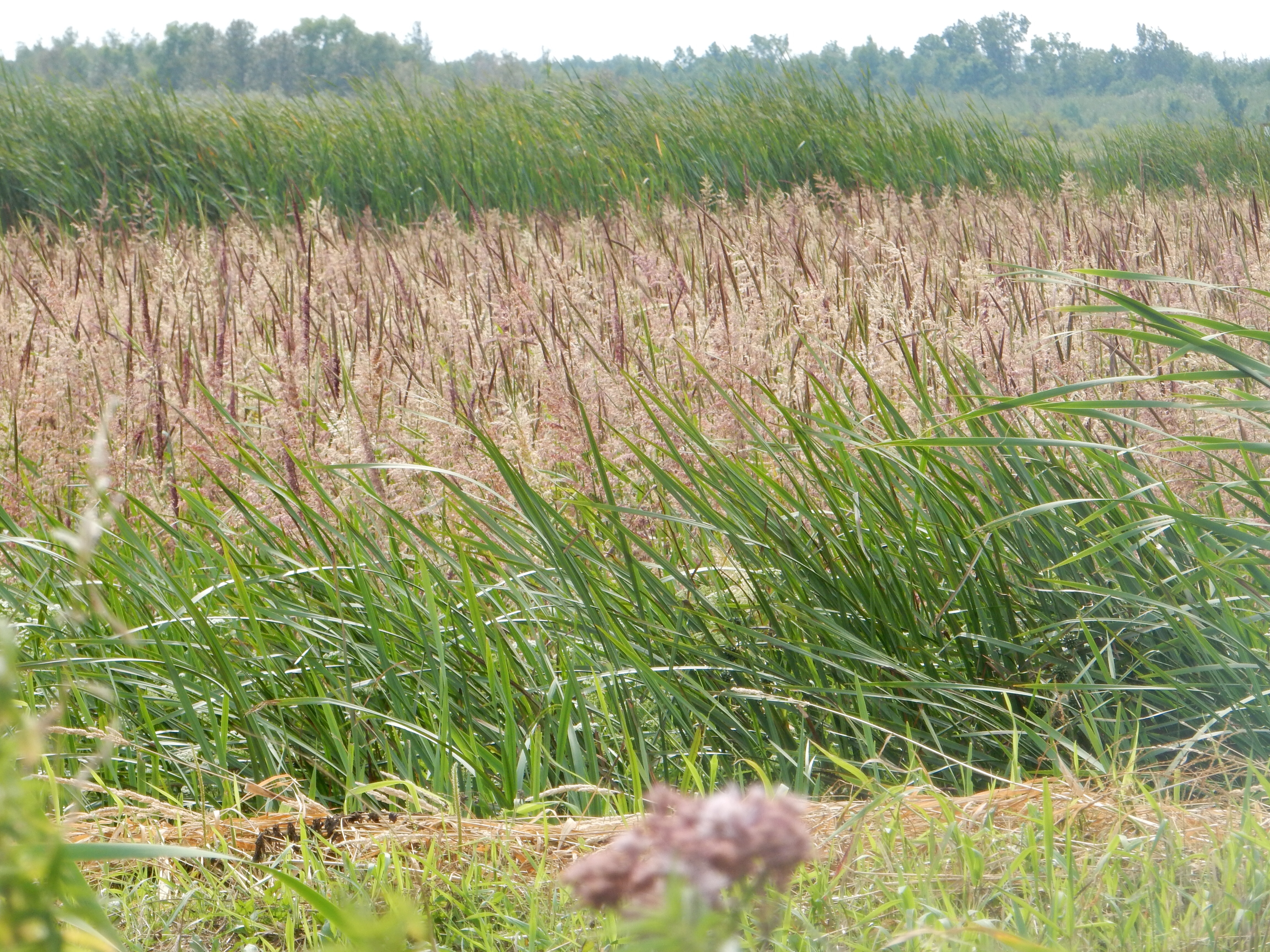
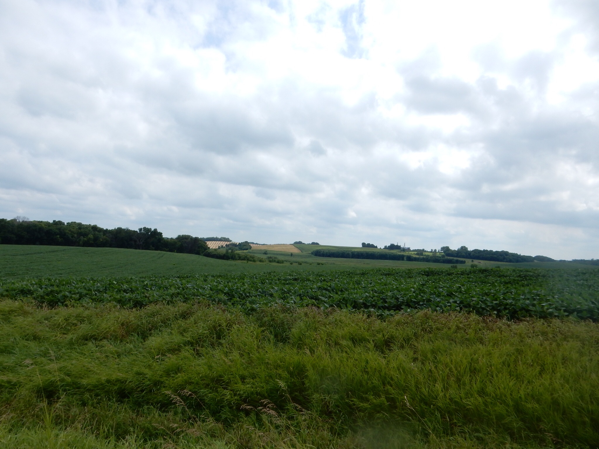
Upper Sakatah Lake, Waterville MN
Chris found one of those old-time Minnesota lake side resorts, Sakatah Bay Resort Motel, and booked a room for Friday and Saturday nights. Sakatah Bay is in Waterville, population 1800, about 15 minutes south of Montgomery. There is a small bike shop in town, BW’s Bikes, and we rented bikes instead of transporting ours. Our bike carrier is just one of those old-fashioned tied by belts and buckles and I do worry that something will come loose over a drive of more than 15-20 minutes. Besides, it helps the local economy, right?
Friday morning we headed down to Waterville. Waterville was platted in 1856. While it is on water (lakes and the Cannon River) it was the railroads in the latter half of the 1800s that gave it life. Its history has seen saw mills, furniture factory, seed company and now tourists.
First stop BW’s Bikes where we picked up our bikes from Linda. She has had the bike store for three years and started it due to an interest in bike racing by her grandsons. One of them is very successful in BMX racing. In fact, they were headed out to Faribault that evening for some races and would be at St. Michaels MN most of Saturday. We made arrangements to drop off the bikes this afternoon and pick up the bikes again on Saturday, working around their other activities. The bike shop is right on the bike route through Waterville and an easy 5-6 blocks from the paved state trail. (Technically the state trail runs on city roads through Waterville.)

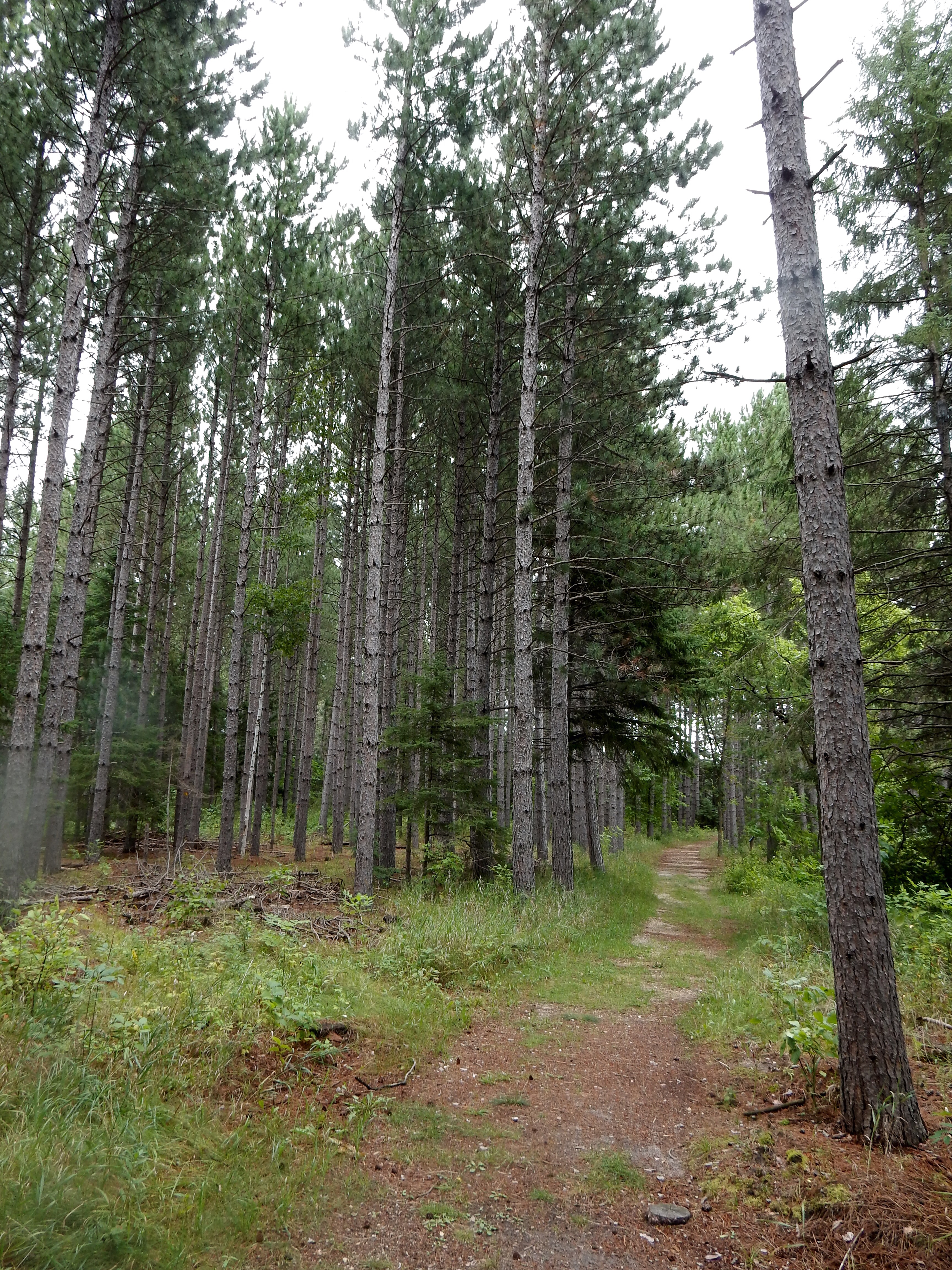
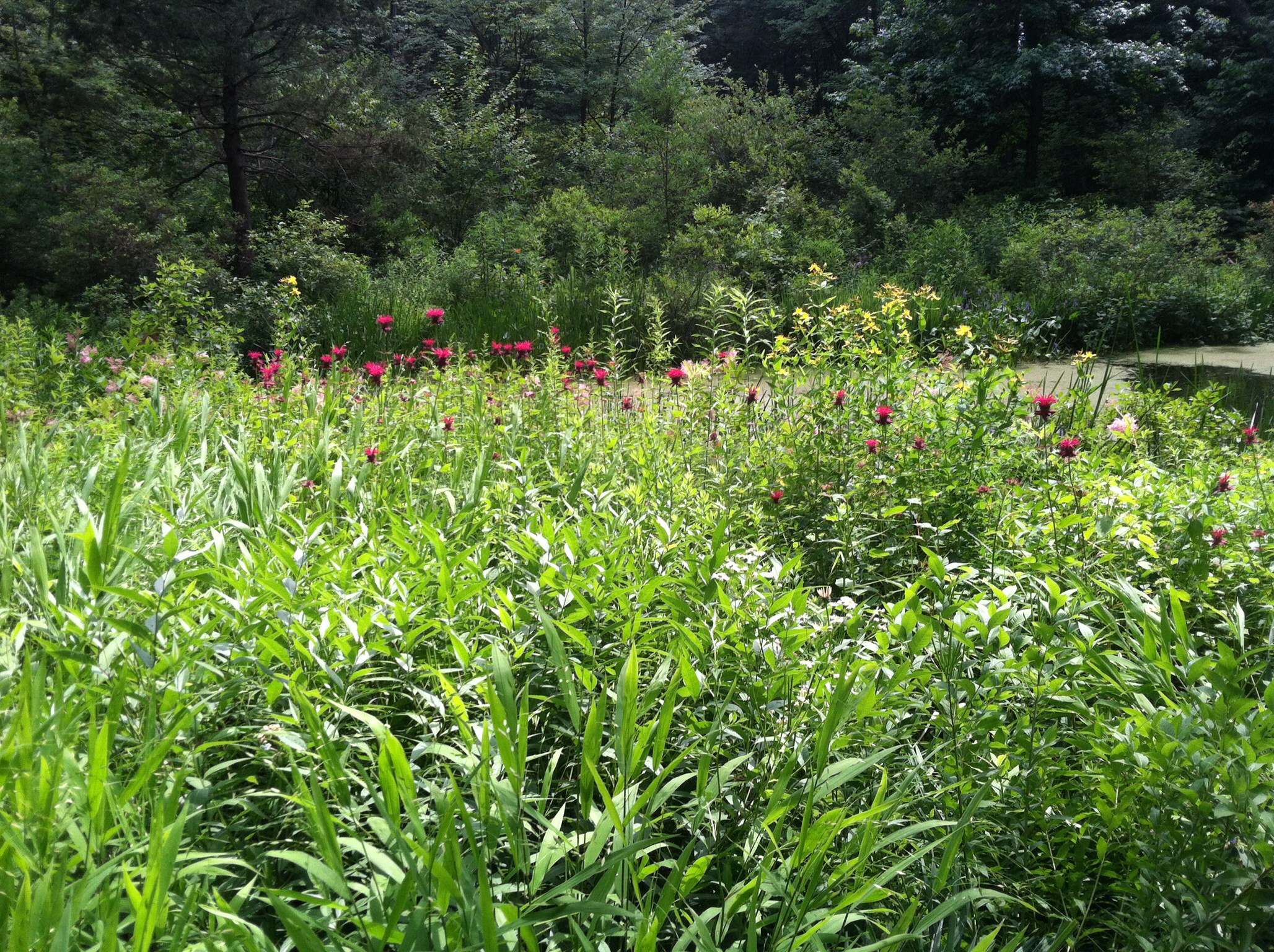
Taking a break on the Sakatah Singing Hills Bike trail

Sakatah Singing Hills Bike Trail
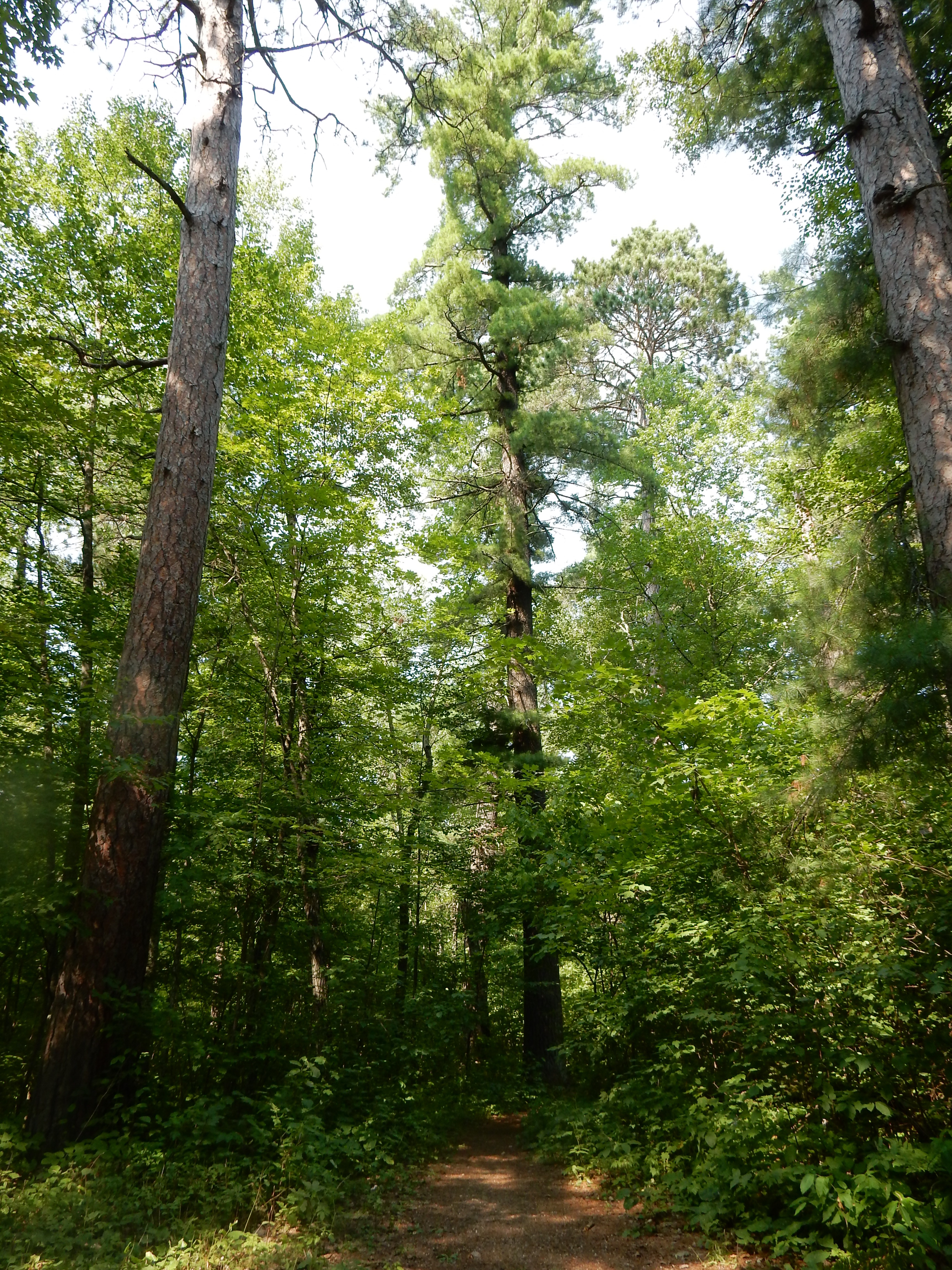
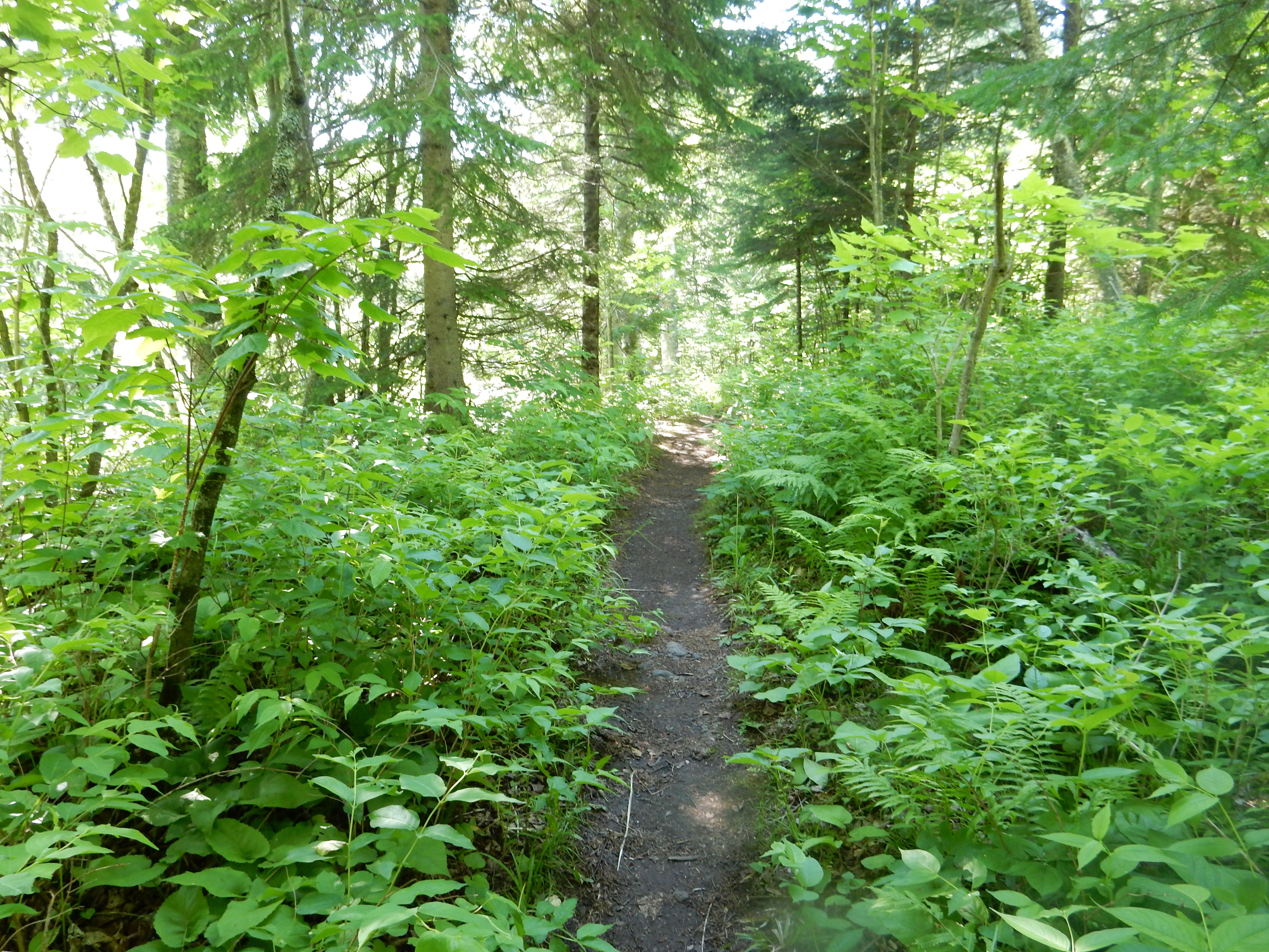
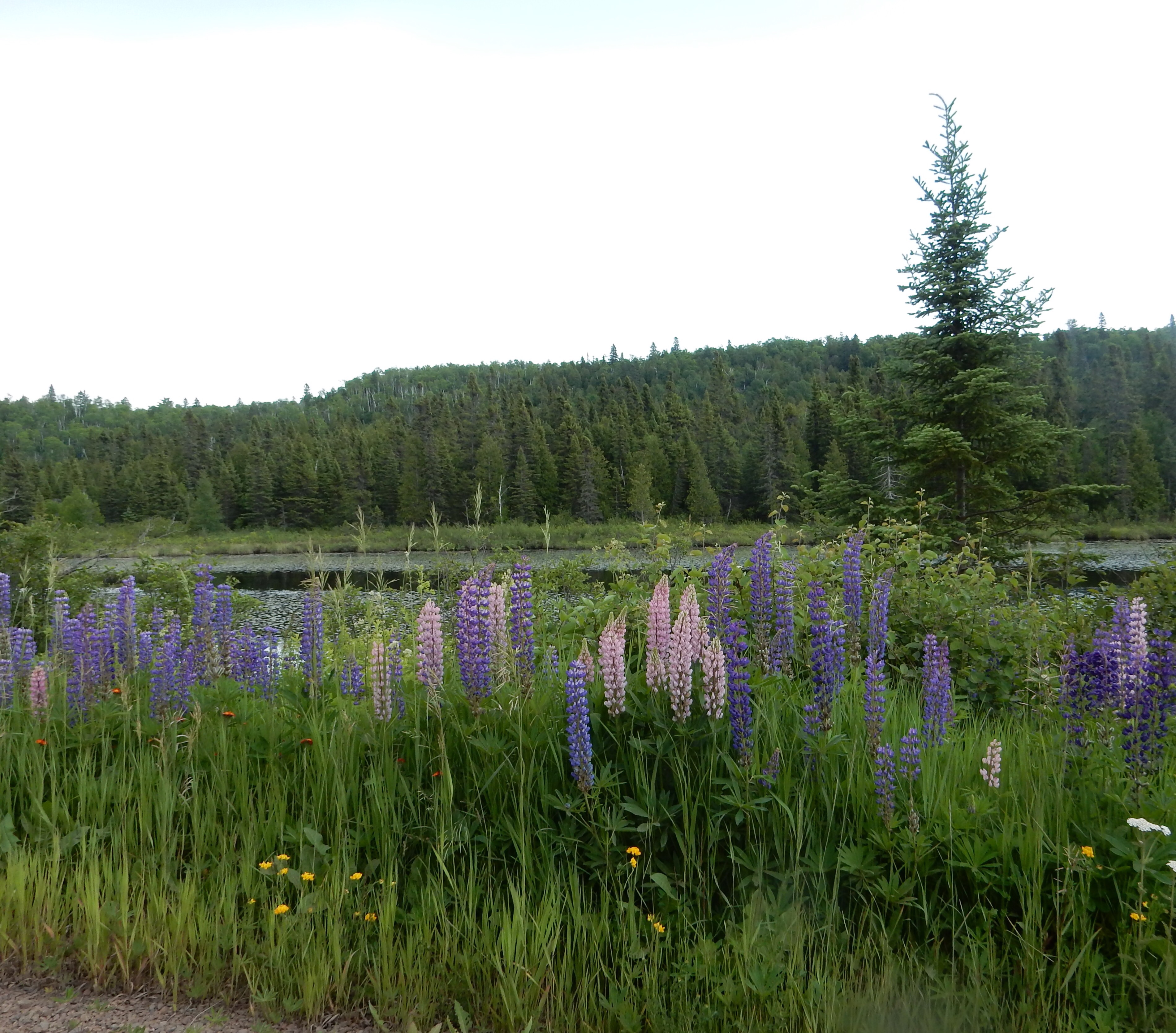
We biked for two hours, going east towards Faribault and then returning. The route goes through Sakatah Lake State Park. The lake is visible early on, then the remnants of the “Big Woods” are next. The tree-shaded route here was comforting on a hot day, but the biting insects were out and our brief rest stops, after the first one, were in sunny areas. Finally, the trail advances along open farmlands with enough patches of shade trees that the hot sun is not constant. The weather here has been good for crop growing, early spring, plenty of rain so far. In fact, the town received 4 inches of rain Thursday night, knocking down some branches. A light rain also fell Saturday night.

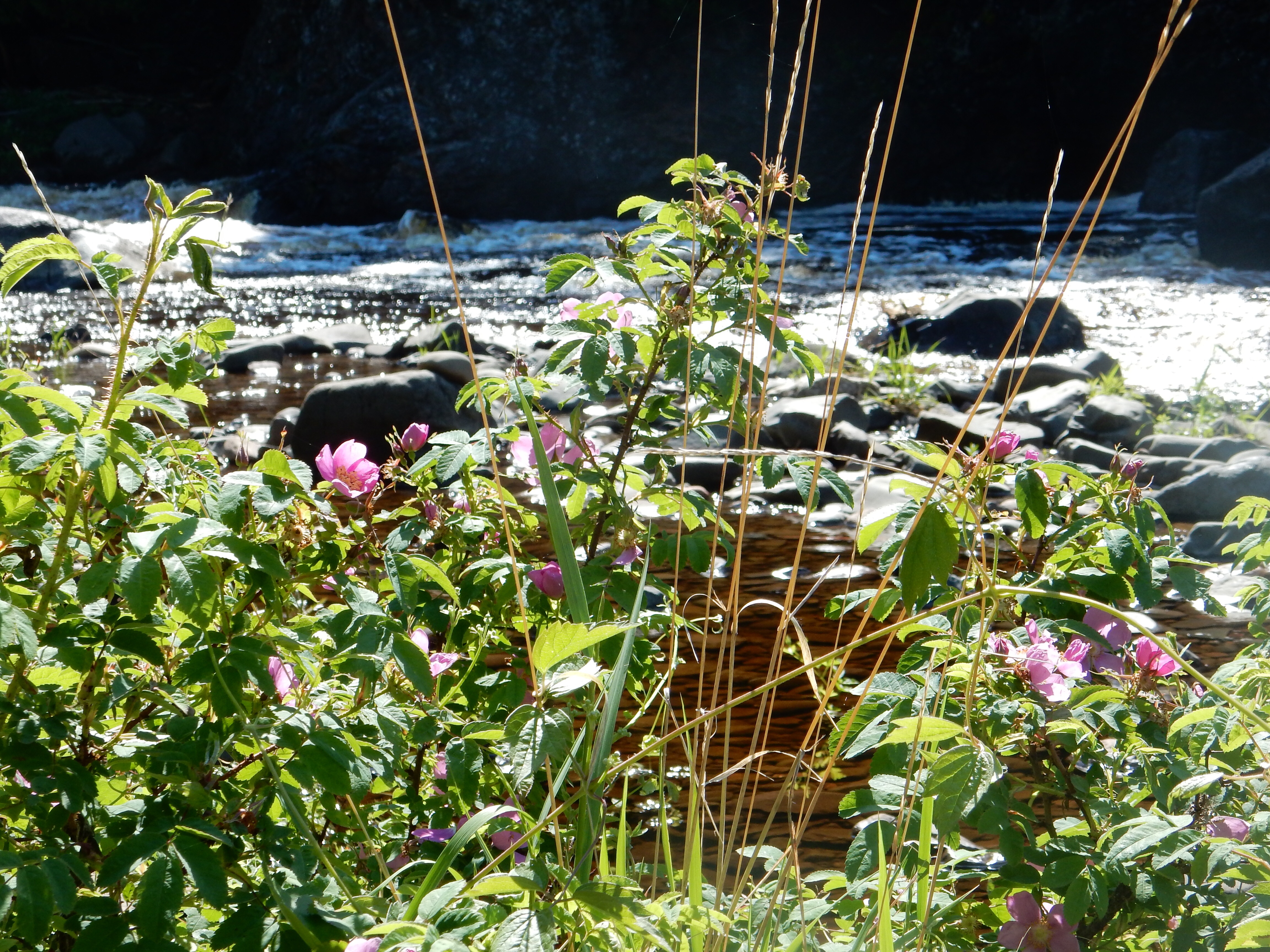
A view of the Cannon River along the trail
Chris loved the smooth, relatively flat surface. Evidently, according to Linda, the trail heading west needs re-surfacing. Recent repaving was done from Faribault to Waterville, along with trail bridge replacement. The funds to re-surface the trail going west to Mankato evidently got sucked up by other needs. Our two-hour ride was at a relaxing pace, we probably covered about 15 miles.
Lunch was at the Singing Hills Coffee Shop, a small, two-year old cafe run by a couple from Eagan, a St. Paul suburb. It is only open during the summer months. Food was fine and inexpensive. While there, we noticed photography for sale, both cards and prints, by an Owatonna man, John Muellerleile, who is an optometrist by day and photographer by choice. Interesting and attractive work. Chris wondered if he was related to Muellerleiles she knew back at St. Kates.
Check-in began at 2 PM and we made it to the resort soon after. Sakatah Bay has 12 units in a motel fashion. They do have boat launching and some boat rentals. After showering, we headed out to Montgomery, taking county roads to get a feel for the land. Our destination was the 5 PM Czech dinner at the American Legion Hall. It cost $18 each and we thought we would get to meet locals and learn more about Kolacky Days.
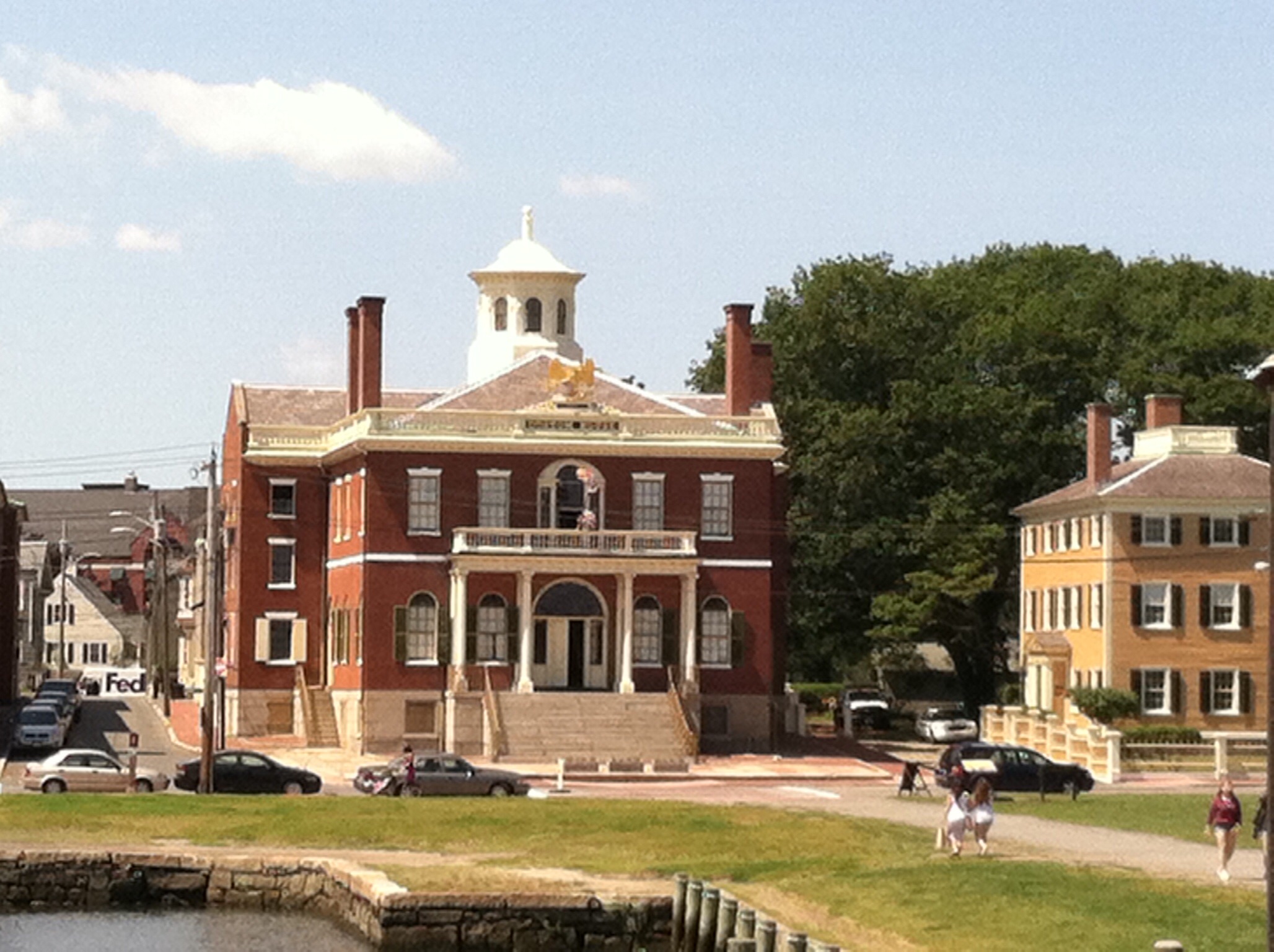
First, though, we drove around Montgomery, scoping out where various Kolacky Days activities would be held. We did stop to view a restored steam engine. A former Montgomery man who died about 15 years ago, Joe Rynda, once had the largest collection of agricultural steam engines in the U.S. These engines were used on farms to power various attachments to thresh wheat, etc. At one time Joe had 50 such engines. In 2004, years after his death, the collection was sold at auction and the engines were scattered over the world to various collectors. A second stop was at the art and culture center which had more news about Joe Rynda and photos of the Kolacky Days Queens for the last 50 or so years. Joe was one of the founders and long time supporter of Kolacky Days.
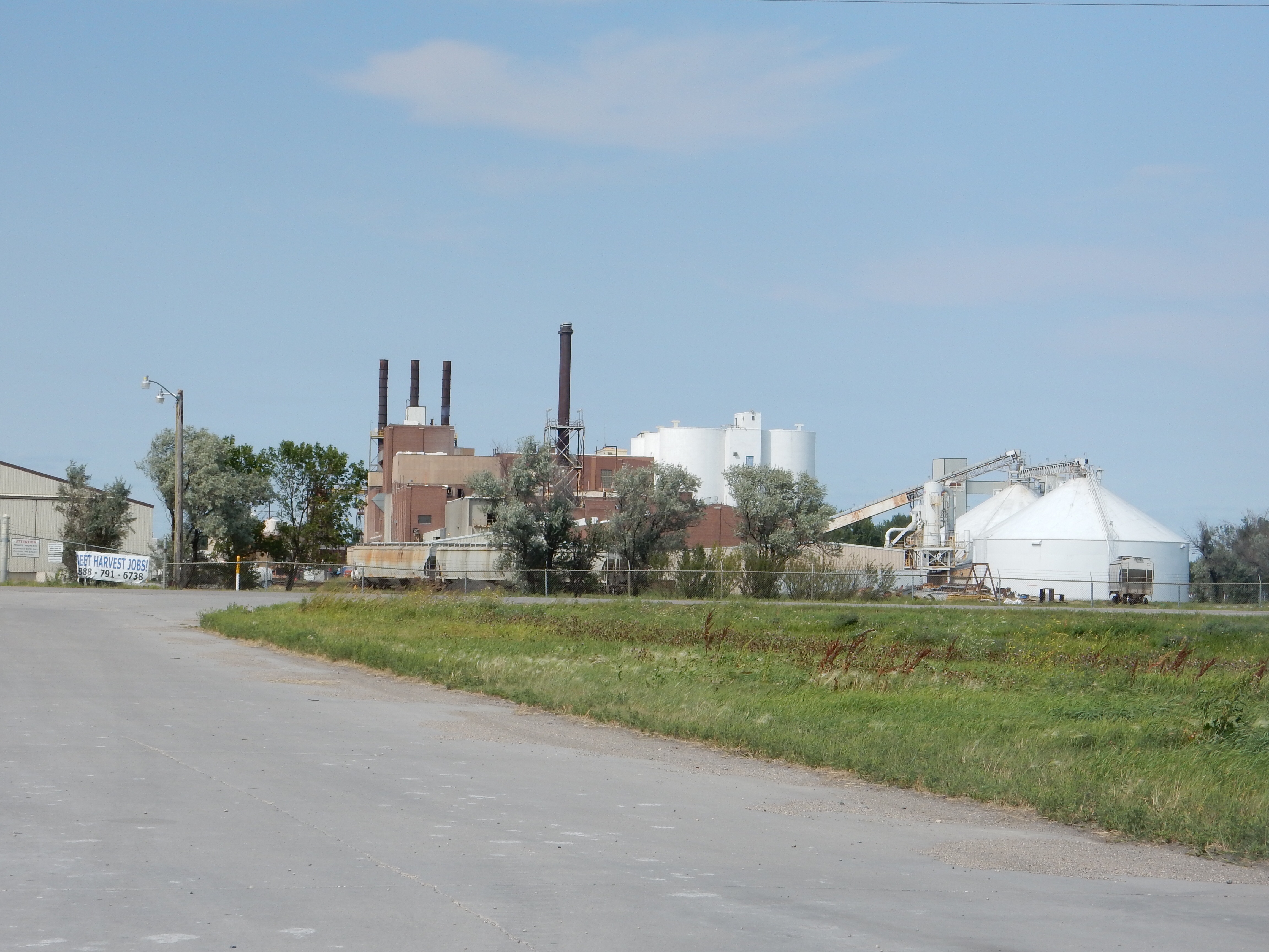
Libby Food (now Seneca Brands) has a processing plant in Montgomery. The festival used to be held in September, then switched to the summer and its current date selected to not interfere with corn harvesting times.

The outgoing royalty for Kolacky Days Montgomery MN
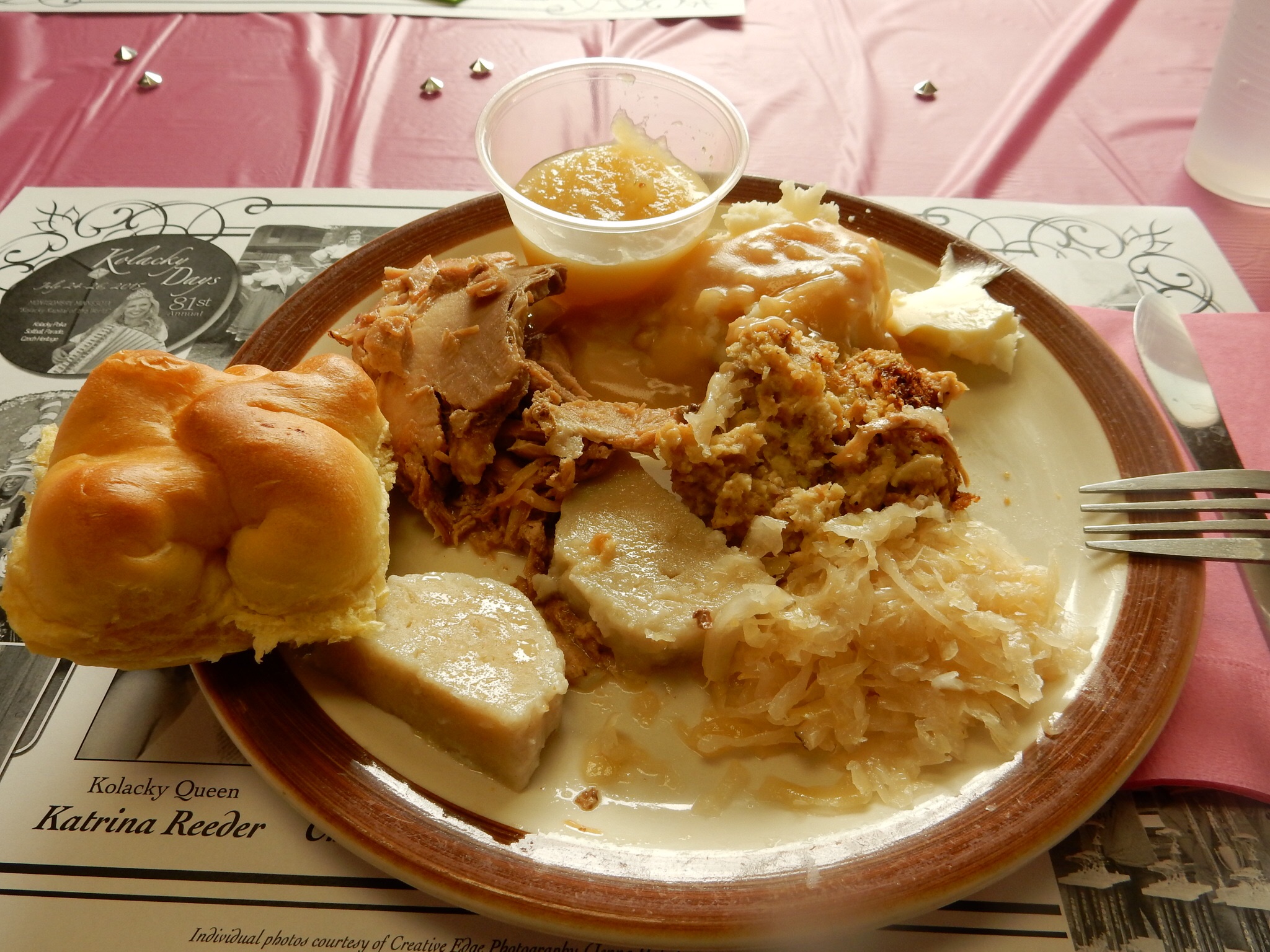
The American Legion was just a few blocks away. We arrived on time and were a little surprised as we went in. What we thought was an open dinner for everyone was more of a dinner for the queen candidates and their families-although not exclusively so. Chris had called them because the printed information indicated advance reservations were needed. The phone call, said no problem, just show up. Well we showed up in casual attire and while some others were in casual, most were dressed up. We sat next to the parents (Mom and step dad, Dad and step mom) of one of the contestants. (Their daughter ended up making the court but not being the queen.) So we explained why we were there and they welcomed us. We ended up not feeling too much out of place-besides they probably needed the cash to help cover the cost of the free dinners for the current and upcoming royalty. The mother had been a contestant and part of the royalty previously. In looking at the list of past queens, it appears that there were some Mother-Daughter queen families along with families with several daughters who became queen. Dinner was roast pork, flat dumplings, mashed potatoes and gravy, applesauce, canned corn, kolachy, sauerkraut, and stuffing. Heavy food. We did not go to the pageant where the queen would be selected from among the nine contestants but headed back to Waterville.

Czech dinner at the American Legion Post for Kolacky Days Montgomery MN
Waterville, for a town of 1800, was fairly lively Saturday. We had breakfast at The Cafe where the pies and sticky buns are made 230 miles away in Sully IA. Our waitress’ boyfriend’s mother makes them. The sticky buns were fantastic and so was the piece of peach pie I bought and placed in our refrigerator to eat later that night. You know, meal prices and food are pretty good in small towns. The menus do reflect old fashioned selections and large serving sizes. The small omelet was at least three eggs while the large was eight eggs.

The Coca Cola swing in Waterville MN
As we walked by the next door hardware store, the owner talked to us about the Coca Cola swing he had for sale. He also owns the restaurant and two other buildings in town. Waterville, he indicated, does better than most communities of its size due to the 50 lakes within 15 miles of the town. Summer produces a lot of lake dwellers. Who knew? We always thought “going to the lake” meant going up north or over to WI.
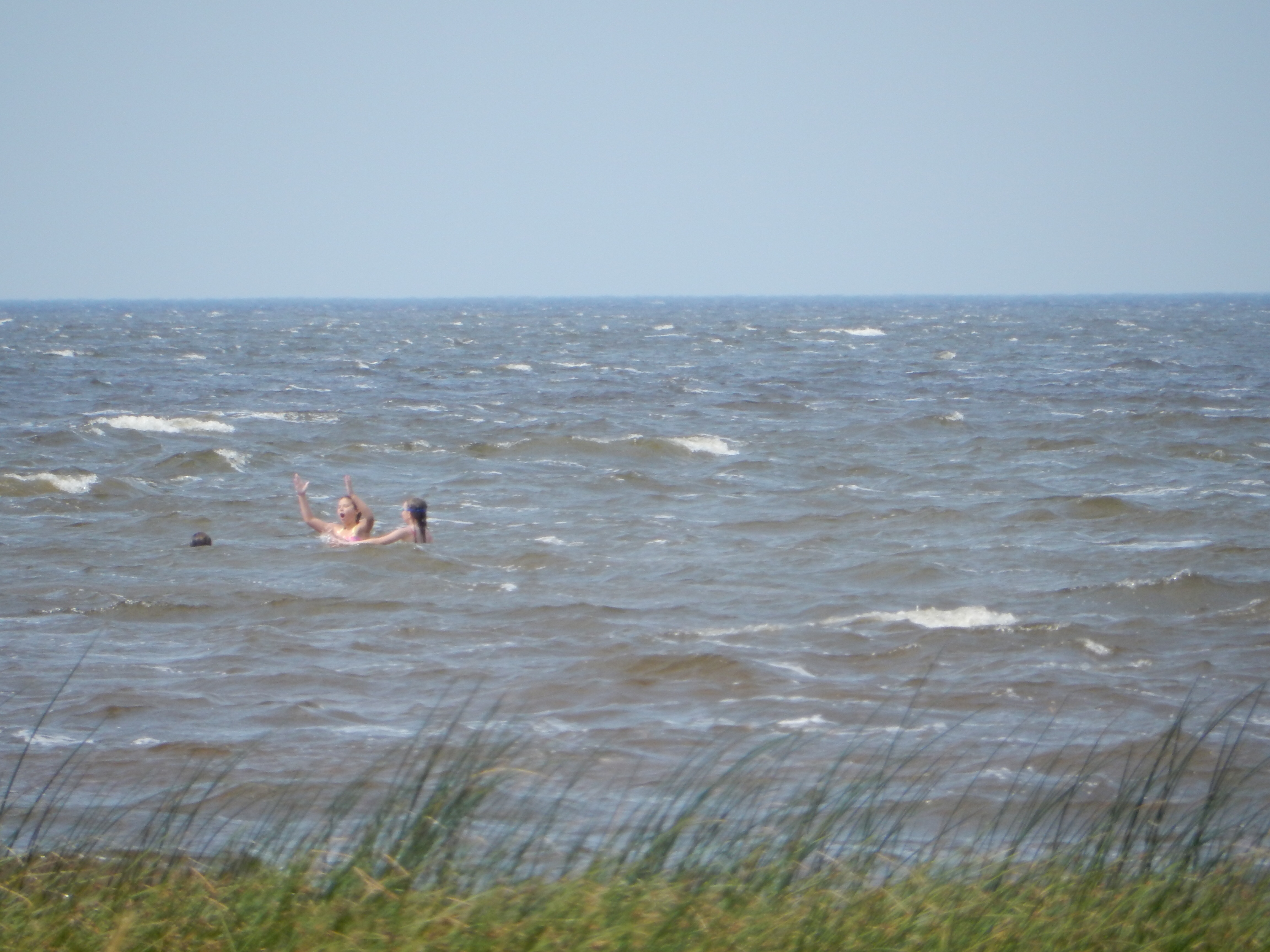
The lakes we observed were busy with boaters, fishing being a major activity. Minnesota has the most registered boats per capita of any other state, Wisconsin is second. Florida has the most boats but on a per capita basis, MN and WI are the tops. It is interesting if you search this on the Internet. You see many different answers but since the only agency to monitor this data is the U.S. Coast Guard, their data is the relevant one. There even is a ridiculous claim that Arizona has the most. Disproven.
The hardware store owner’s wife is part Lakota Sioux and the Native-Americans and the European origin folks have different pronunciations of the name Sakatah. Either way, the Indian definition meant muddy brown water, referring to the shallow connection between Upper and Lower Sakatah Lakes. Upper Sakatah, where we are staying, is shallow, only about 10-12 feet in depth. We left the hardware store without buying the swing but planning to return for breakfast Sunday for more sticky rolls at the cafe.

Along the Sakatah Singing Hills bike trail

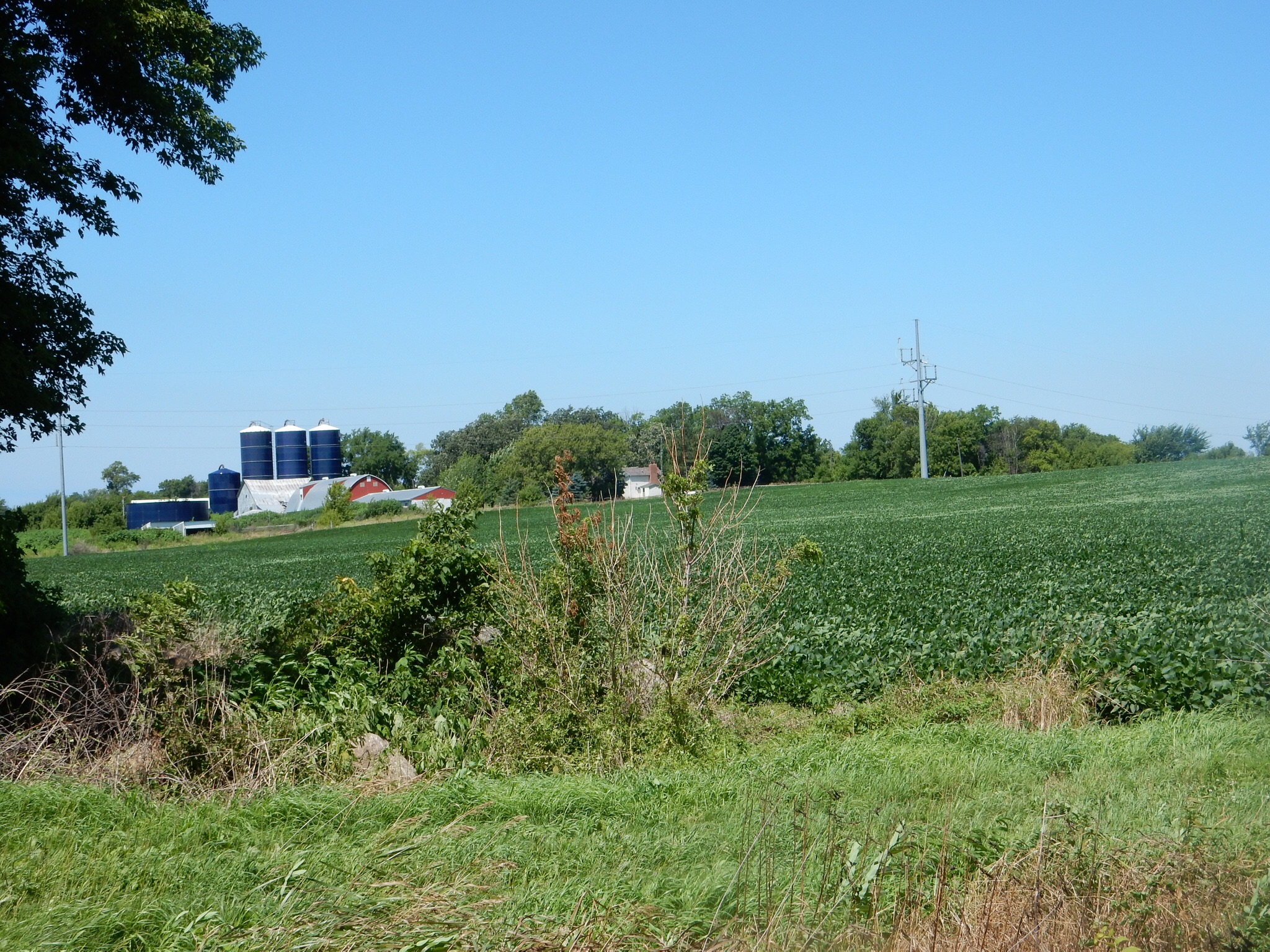
Farm scenes
We picked up our bikes again and headed back to the trail. Today’s jaunt was slightly longer than Friday’s and busier. Plenty of people enjoying the day and justifying the expense of public funds on this bike trail. Most of the users were biking, not walking. All of them were friendly though.
As we completed the trail we came across a candy and crafts store. This store is just one year old and run by a dynamo. She has assumed the presidency of the local Chamber of Commerce and has about 95% of the local businesses as members. They produced a very nice handout about Waterville, printed professionally, and are distributing about 2500 of them. The store seems to attract people from the lake resorts and from the bike trail. The crafts are a collection from 20 or more local artisans.

One of the vehicles on display at the classic car show
Most of the activities at Kolacky days began after 12 PM. When we scoped the activity area out Friday, we noticed the prune spitting contest was not being held. We hoped other activities scheduled for today would not be canceled. Our first stop was in downtown Montgomery. The classic car show was a big draw. We saw more people here than anywhere else. The schedule talked about a Big Honza museum. We walked to it. Evidently, it’s days are over. Much of the material that had been in there has been sold or given away. Someone forgot to check before the schedule was printed.
Most of the activities were being held at Memorial Park. However, it was a slow people watching experience. I think that horseshoes and volleyball are more exciting when you’re drinking a beer and cheering on or yelling at your friends and neighbors. Standard fair food was available along with Kolacky and some Czech food items. Overall, it was not terribly exciting. Based on this, we made a snap decision to not come back Sunday for the parade. The parade would be in 85° weather and just did not seem to generate enough excitement and participants to keep us hanging around for a couple of extra hours Sunday.
We went to 5 o’clock mass in the local church at Waterville. There was a visiting mission priest. We went to Bullheads bar for their Saturday steak special ($15 per person) and the local pastor (who must’ve been at least 80) and the visiting mission priest stopped in after us for their dinner also. The bar reminded me of Cheers in that as people came in, they all seemed to have their regular seat, whether at the bar or at a table.
Sunday we went back to the cafe and had sticky buns while we shared a small “Yeah, you betcha” omelet. (The omelet was filled with hash browns, sausage, bacon, tomatoes, green peppers, and mushrooms and covered with melted cheese.)
So, small town, pleasant area, friendly people, well-maintained homes. I could live in a small town, Chris not so much.
Ed and Chris


Recent Comments