
Slayton, MN Wednesday April 20, 2016
This road trip is sub-titled: Prairie Passages in search of Minnesota Gold. It will be a three-day journey to southwest Minnesota. We hope to visit at least five different state parks during these three days.
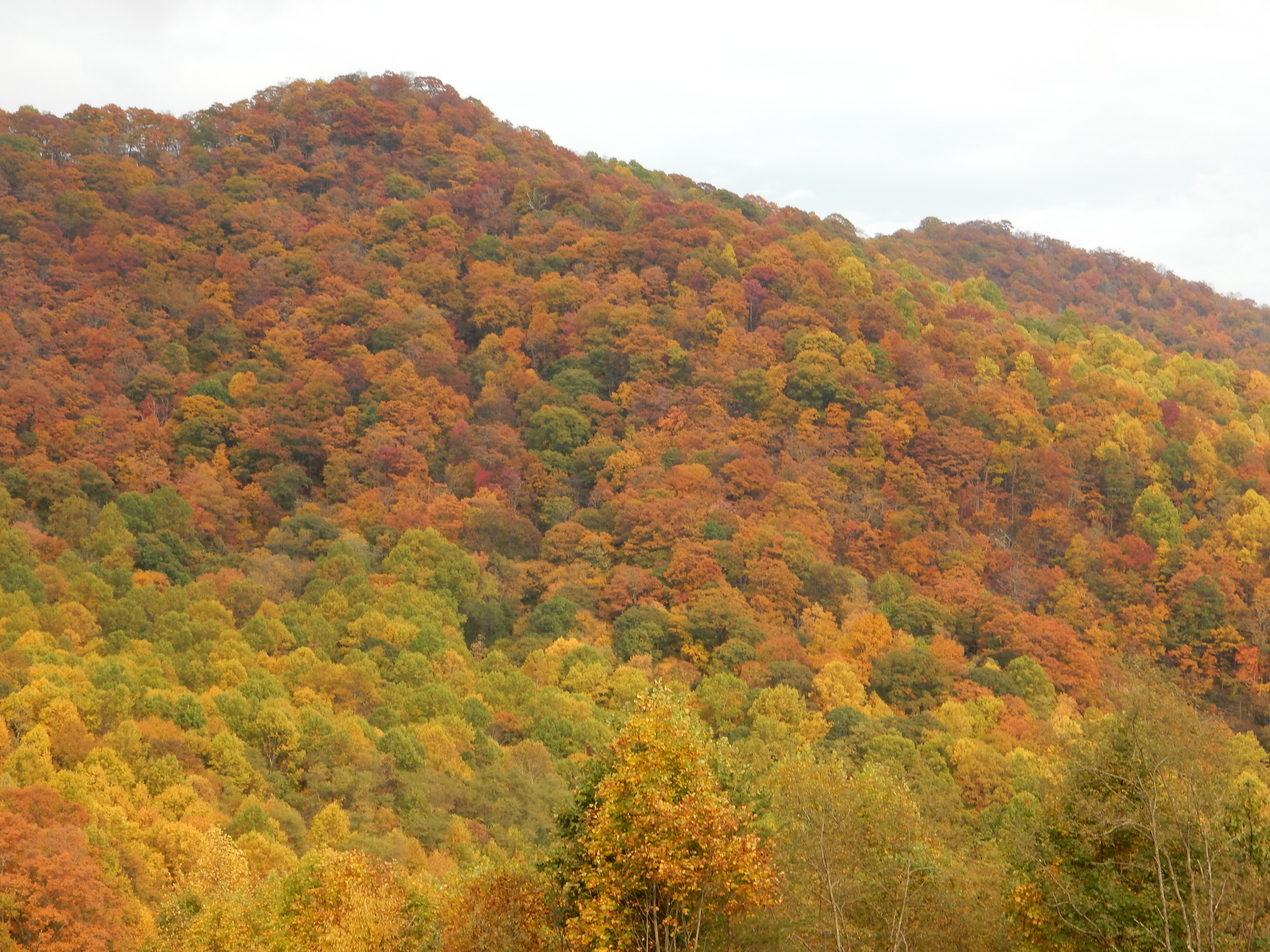
The land was prairie 150 years ago and is now primarily agricultural. The prairie developed for centuries untouched leading to the development of rich, black loam soil. While the farmland is fertile, there are still issues with agricultural and soil run-off, protection of wetlands for native animals and waterfowl, and overuse of groundwater.

Minnesota Gold-farm land near Blue Earth MN
Today was cloudy and rainy. We only visited one park but made two other pleasant stops, one of which was unexpectedly interesting. The Green Giant brand of canned and frozen vegetables began in south central MN, an amalgamation of canneries in Blue Earth and Le Sueur. The company spent heavily on the development of pea and corn varieties that improved on the tastes available at that time. The Green Giant motto and brand was developed to showcase the product. Chris and I grew up hearing the Green Giant theme: “From the valley of the, Ho, Ho, Ho, Green Giant.”

The Jolly Green Giant, Ed and our new Subaru Legacy that replaced our 2001 Saturn
Our route to SW MN took us right through Blue Earth so we had to stop in. First, there is a 47.5′ tall statue of the Green Giant on top of an 8′ base. Pretty impressive. And it turns out it was made by the FAST Corporation of Sparta WI, a town we rode through on Amtrak just last week. The statue was commissioned and erected in 1978 to commemorate the completion of Interstate 90, the longest interstate highway, at 3020 miles, in the United States running from Boston to Seattle. The route was completed near Blue Earth MN when the two crews joined together and they celebrated with a golden concrete section here, near the mid-point of I-90. The gold section was in honor of the gold spike used at Promontory Summit Utah when the first transcontinental railroad was completed in 1869.

Memorabilia at the Giant Museum in Blue Earth
In downtown Blue Earth is a small museum devoted to Green Giant memorabilia. The product is still made locally in Blue Earth, and other locations, but the company is now owned by Seneca Foods. Thus our first introduction to the value of Minnesota Gold was in the fruit of the land-peas and corn.

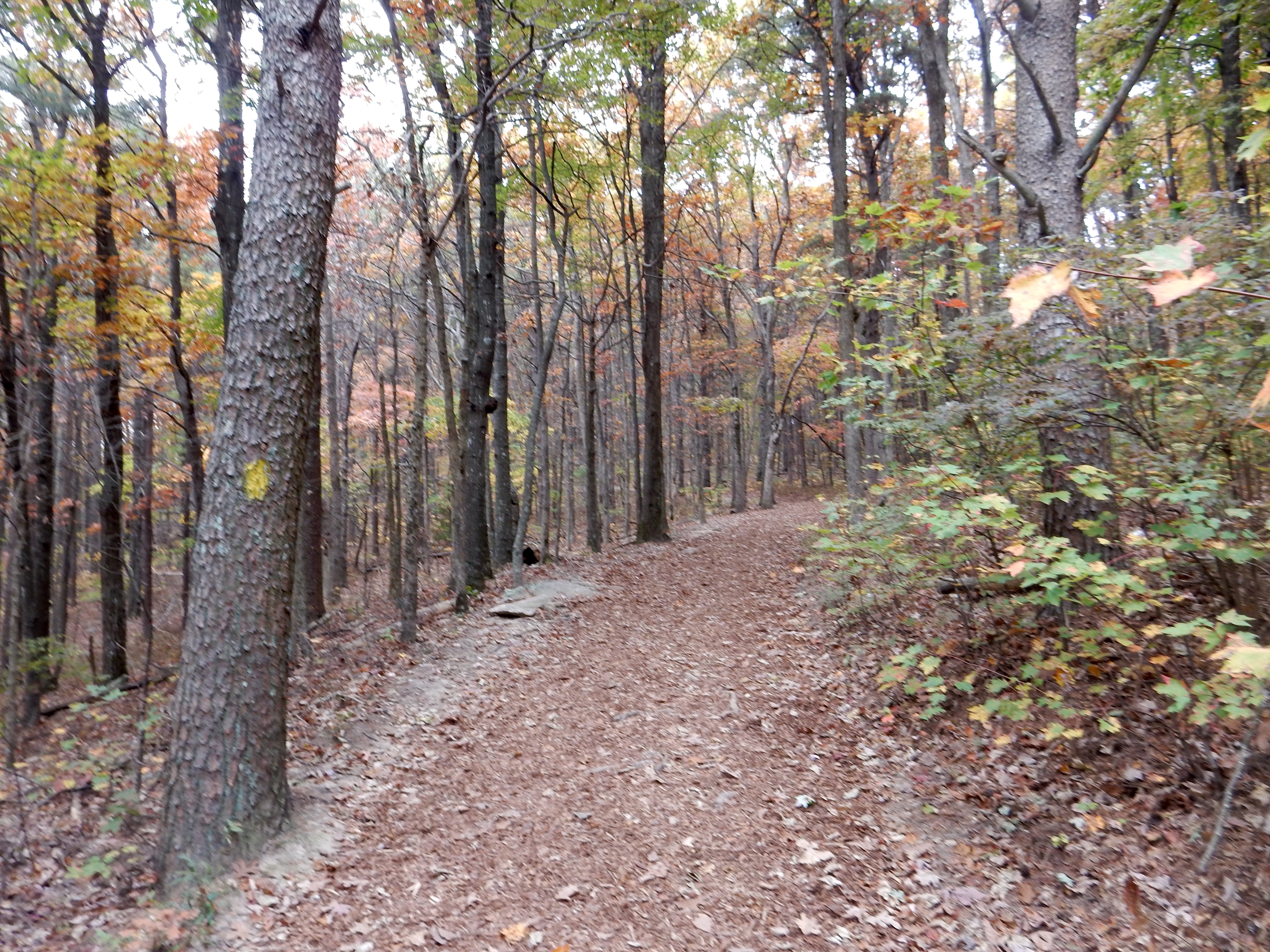
The Des Moines River at Kilen Woods State Park
Our second stop was Kilen Woods State Park. This state park is on the banks of the Des Moines RIver which begins at Lake Shetek-where we are lodging. We were the only visitors in the park, camping does not begin for several weeks yet. We ate our lunch and then hiked down to the river. Rain cut short our stay but we have more parks coming up and this one was small anyway.
Our next stop was an overwhelming success and surprise. We had read about the Spomer Classics and Museum. It is open “by chance or by appointment” and we decided to schedule an appointment. We met the owner, Marv Spomer, there at 2 PM. Marv had been the owner of the GM dealership in town, and with the encouragement of his wife (who is in to antiques), he has collected, restored, and arranged a museum of classic cars, porcelain and neon signs, and advertising memorabilia related to automobiles. Rather than just amassing large amounts of junk, Marv has focused on notable autos and unique signs.

Chris and Ed at Spomer Classics and Museum in Worthington MN
His autos are spotless, lovingly restored,and most have only been owned by one other owner. One particularly interesting car has been used in the annual Turkey Days parade for decades and the back of the front seat has been autographed by Jesse Jackson, Robert Kennedy, Walter Monday and Hubert Humphrey. Others are one of a limited edition, where only very small numbers of the models of this vehicle exists.
While bus groups are common here, we got a personalized 90 minute tour describing the autos, neon signs, gas pumps, Coke dispensers, etc. Most are at least 50 years old, many much older. A number of them have nostalgic value in addition to being, like the autos, part of a limited production run or one of the few known to still exist of that particular type.

Spomer Classics and Museum
The building itself is spotless and clean, no trace of dust on these items. That was amazing in itself. We had a fantastic time listening to Marv describe the items and their lineage. The neon and the porcelain signs were beautiful works of art.
From the museum in Worthington we headed to our lodging, the Lake Shetek Lodge on Lake Shetek. This is a small motel on an island in the lake. The season is sort of between summer and winter visitors so we happened to be the only guests tonight but our host made us quite comfortable. We will take some pictures later when the color scheme is not just 50 shades of gray. So far we have seen geese and pelicans on the lake, pheasants were along the road sides.
Dinner was next door at the Key Largo restaurant, usually a hot spot with boaters or ice fishermen. Food was quite good, their home-made hash browns a true delight.
Ed and Chris


Recent Comments