
Another day, another mountain road. This may become habit forming, as well as nail biting.
We started the morning at the Manzanar National Historic Monument. This was one of the World War II Relocation Centers for Japanese Americans. The site recounts the history of “relocation” with exhibits, personal accounts of Americans of Japanese ancestry that were forced to relocate, re-created barracks and markers of the various camp buildings. 10,500 people lived here in an area one square mile.
This area is a reminder of the frailties of civil liberties.


Exhibit center at Manzanar
The comments of the internees were moving. As may be well known, no cases exist of Japanese Americans being convicted of treason or espionage. No similar camps existed for German Americans or Italian Americans. The camps were supposedly for their protection but as one internee put it “the guards were facing in,not out.” Japanese Americans in Hawaii were not relocated.
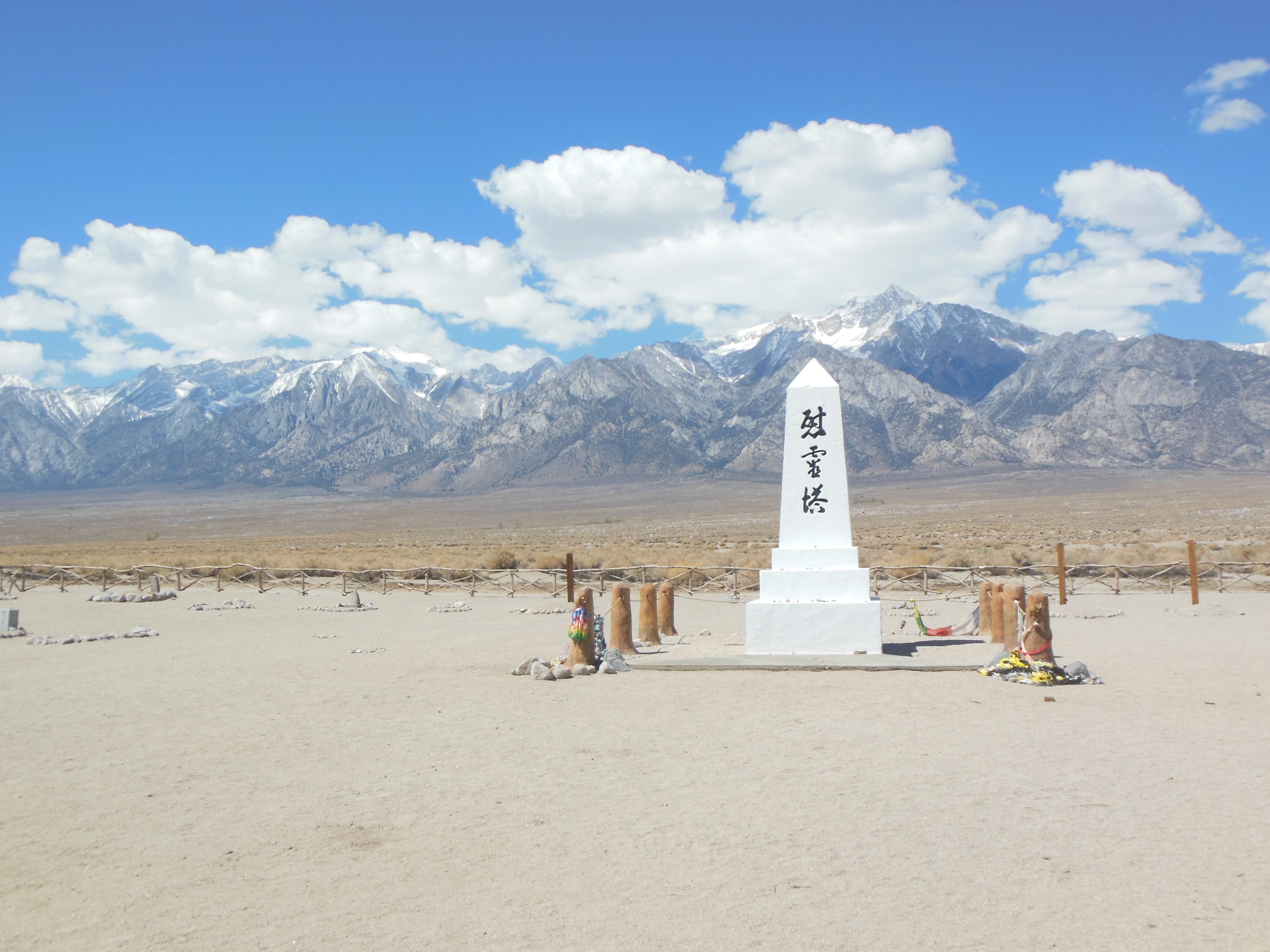
Manzanar cemetery
At the cemetery, it was noted that for those who died here, it was important not be buried behind barbed wire. The cemetery therefore was located outside of the wire. Now, only 6 bodies are buried there, the other bodies were relocated after the war at the request of the families.
Our second stop was the Movie film museum in Lone Pine, CA. Lone Pine is home to the Alabama Hills, a rock formation that was used by hundreds of movies as their setting for westerns, science fiction, and even Indian (Asian) settings. It started with silent films and continued through recent movies like Ironman and Django Unchained. The museum contains memorabilia from many of these, although the focus is on westerns like Roy Rogers, Tom Mix, Gene Autry, John Wayne.
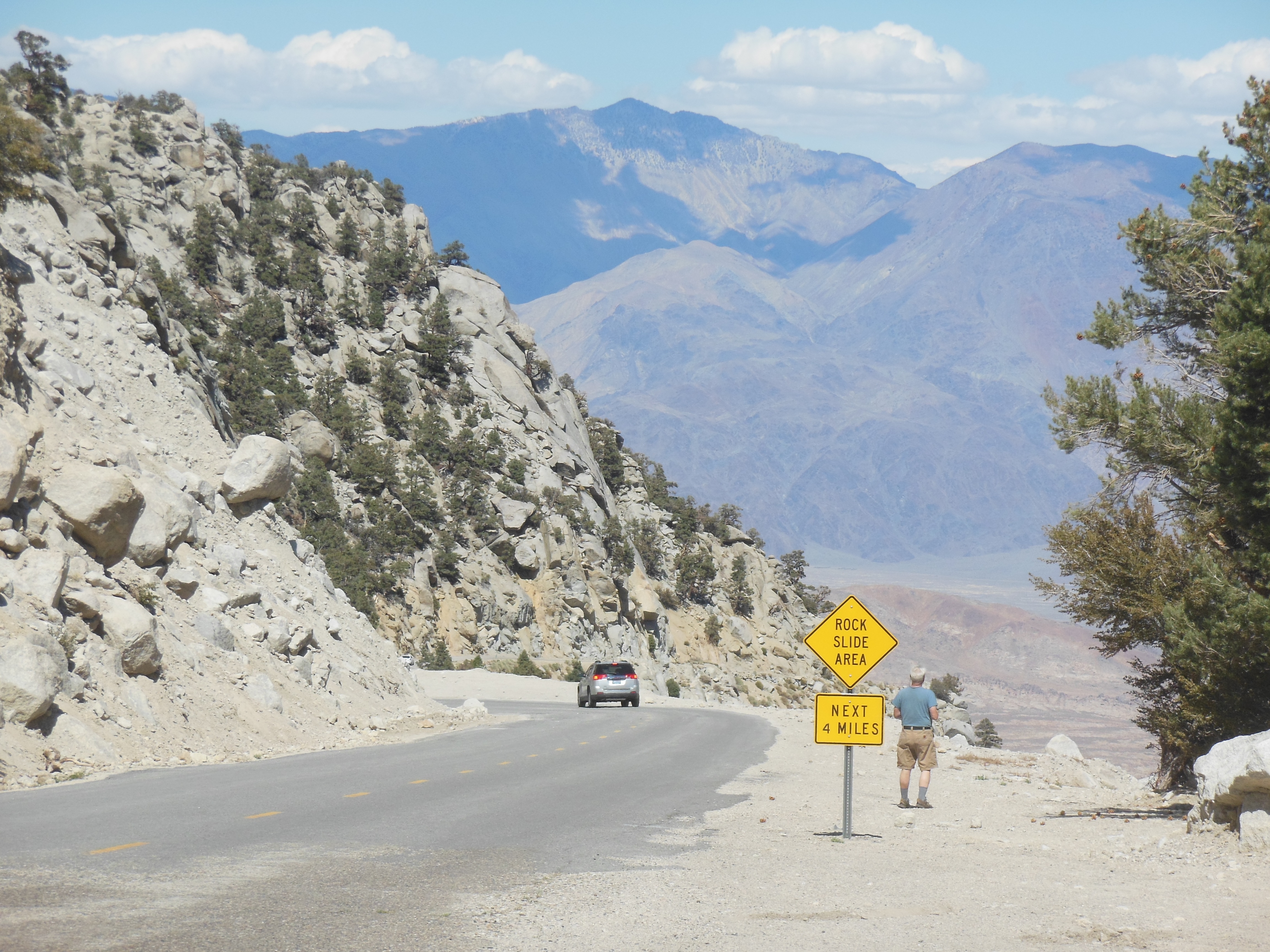
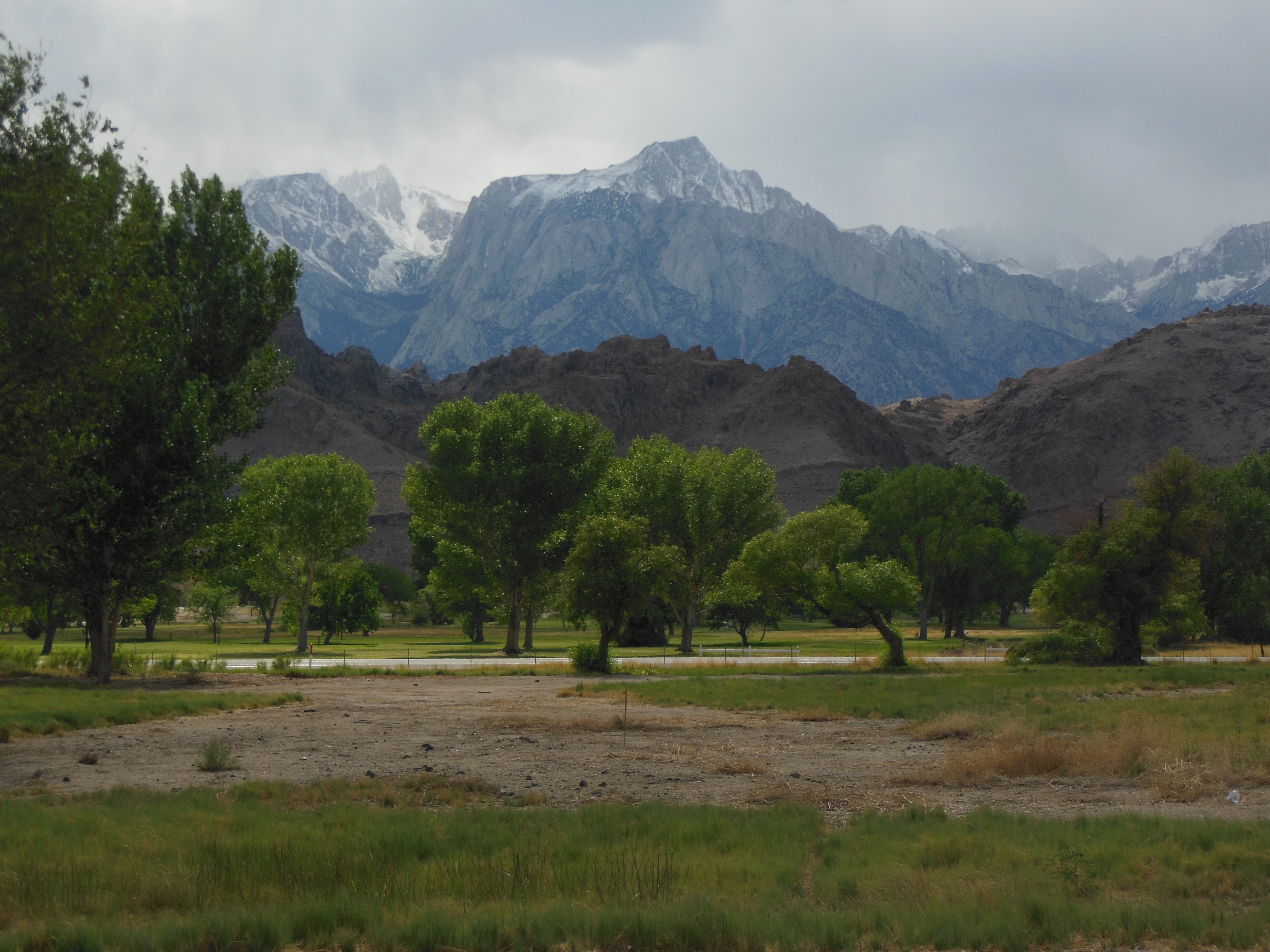
Lunch was in a local cafe and then off to Mt. Whitney portal. Mt. Whitney is the highest mountain in the lower 48 states. We did not climb it. You need a permit and plenty of skill, endurance, and acclimation to high altitudes, none of which we possess.
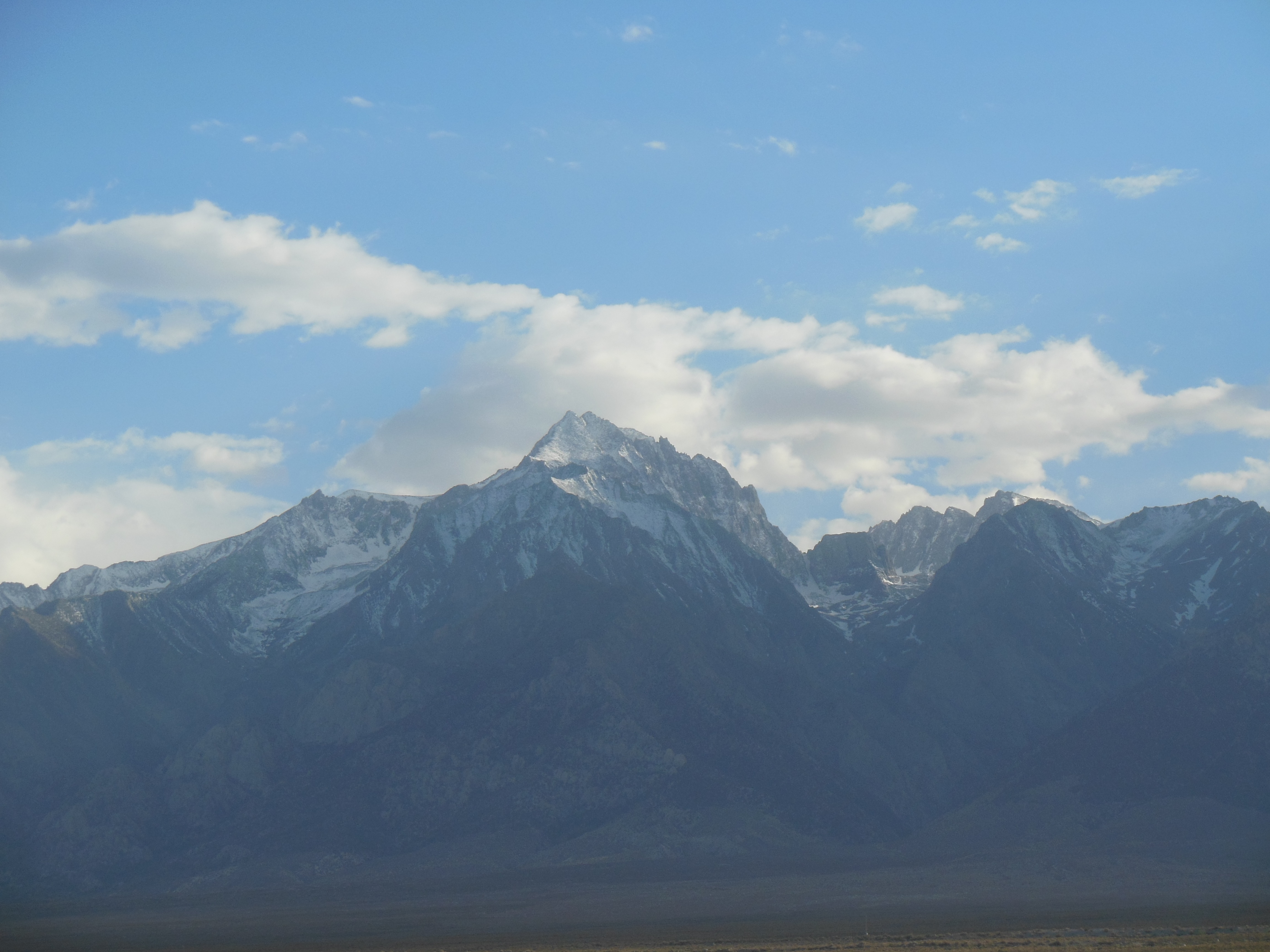
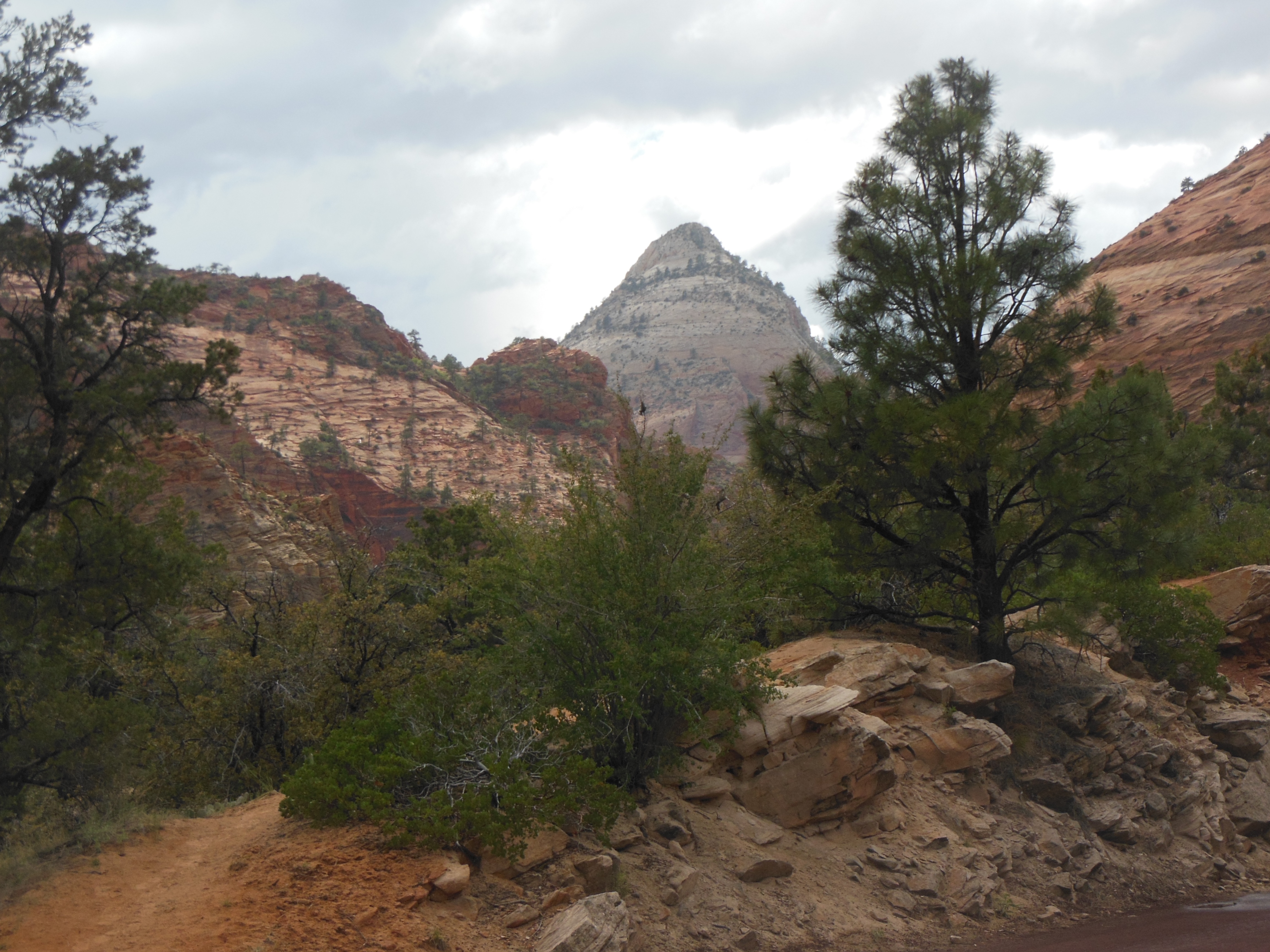
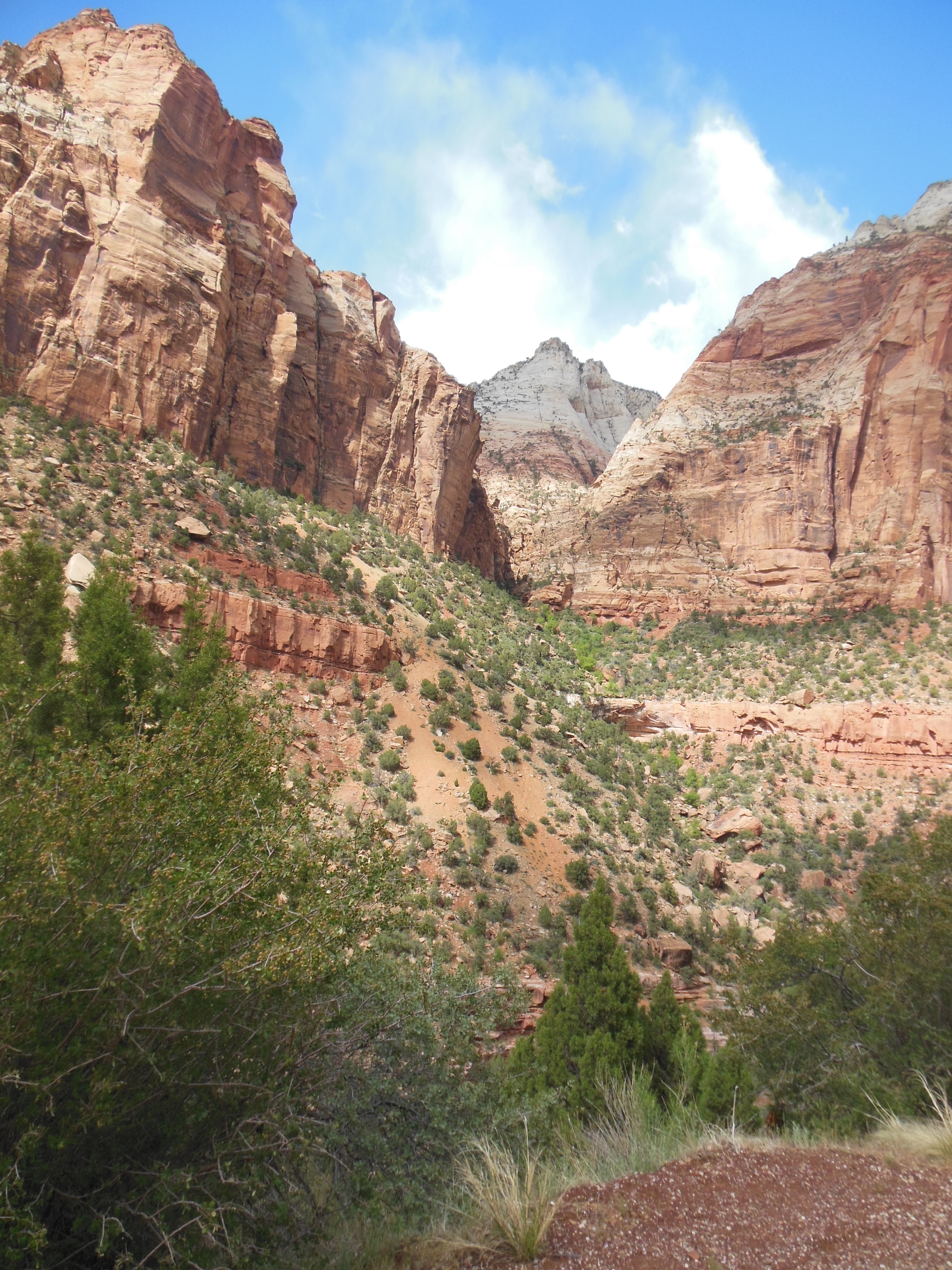
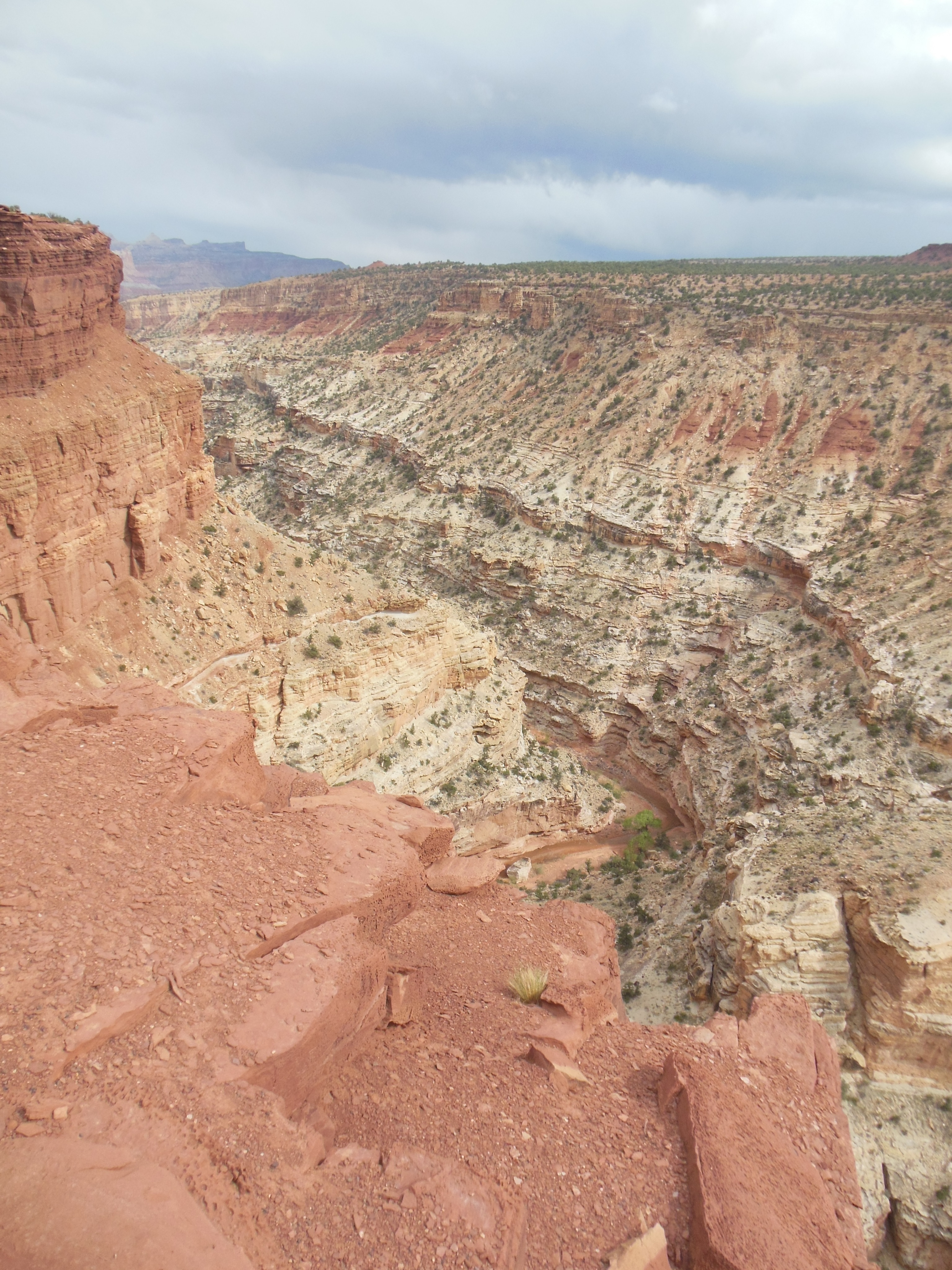
One view from Mt Whitney portal road
Jumping off point for hikers to Mt. Whitney
What we did do though was drive from Lone Pine at elevation 3500 to the Mt. Whitney trailhead jumping off point at 8700 foot elevation. The drive was once again steep and had dramatic drop offs but with less sharp turns. Pictures do not do it justice; it is hard to shoot pictures under these conditions.

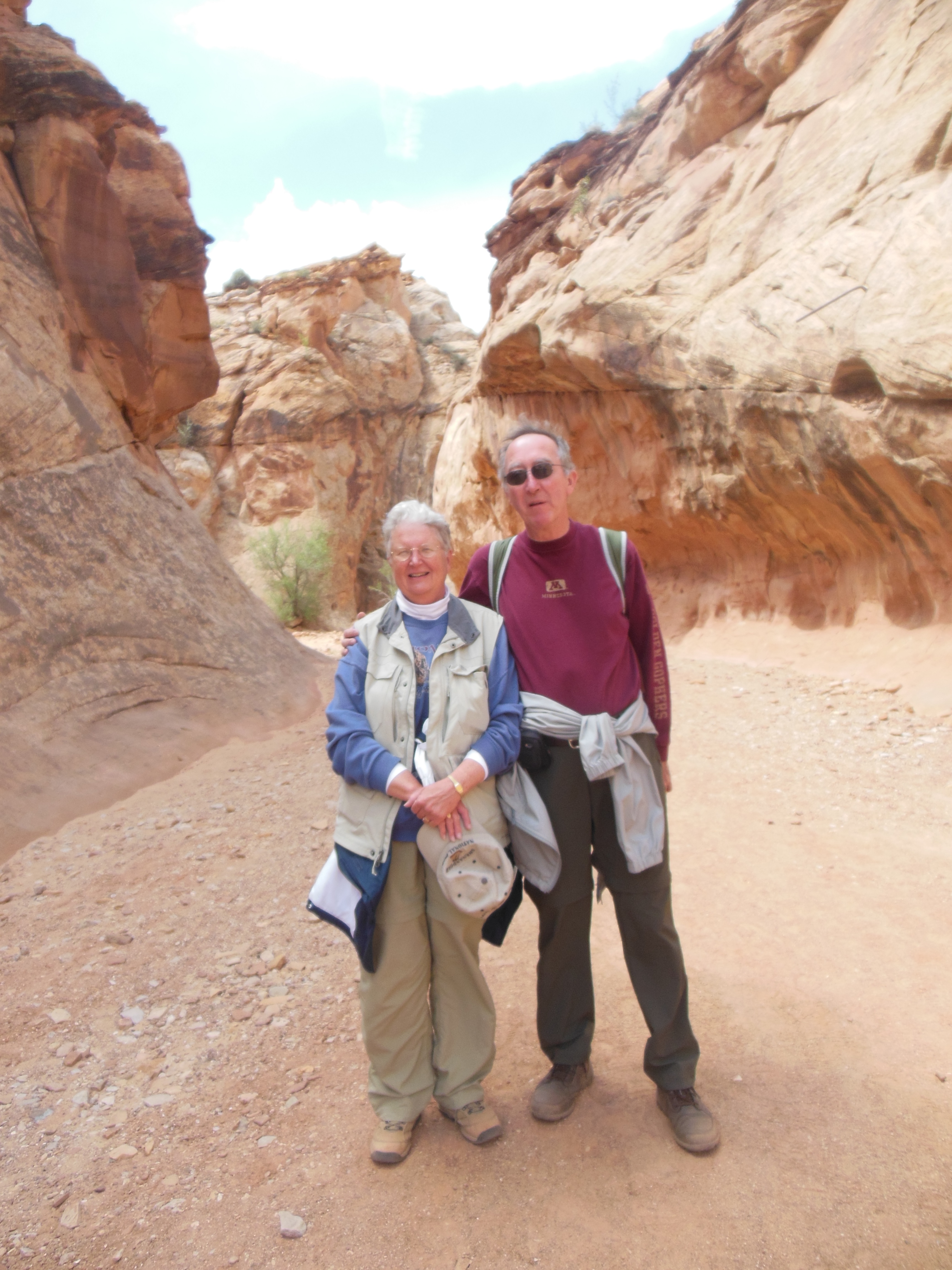
Ed at the falls
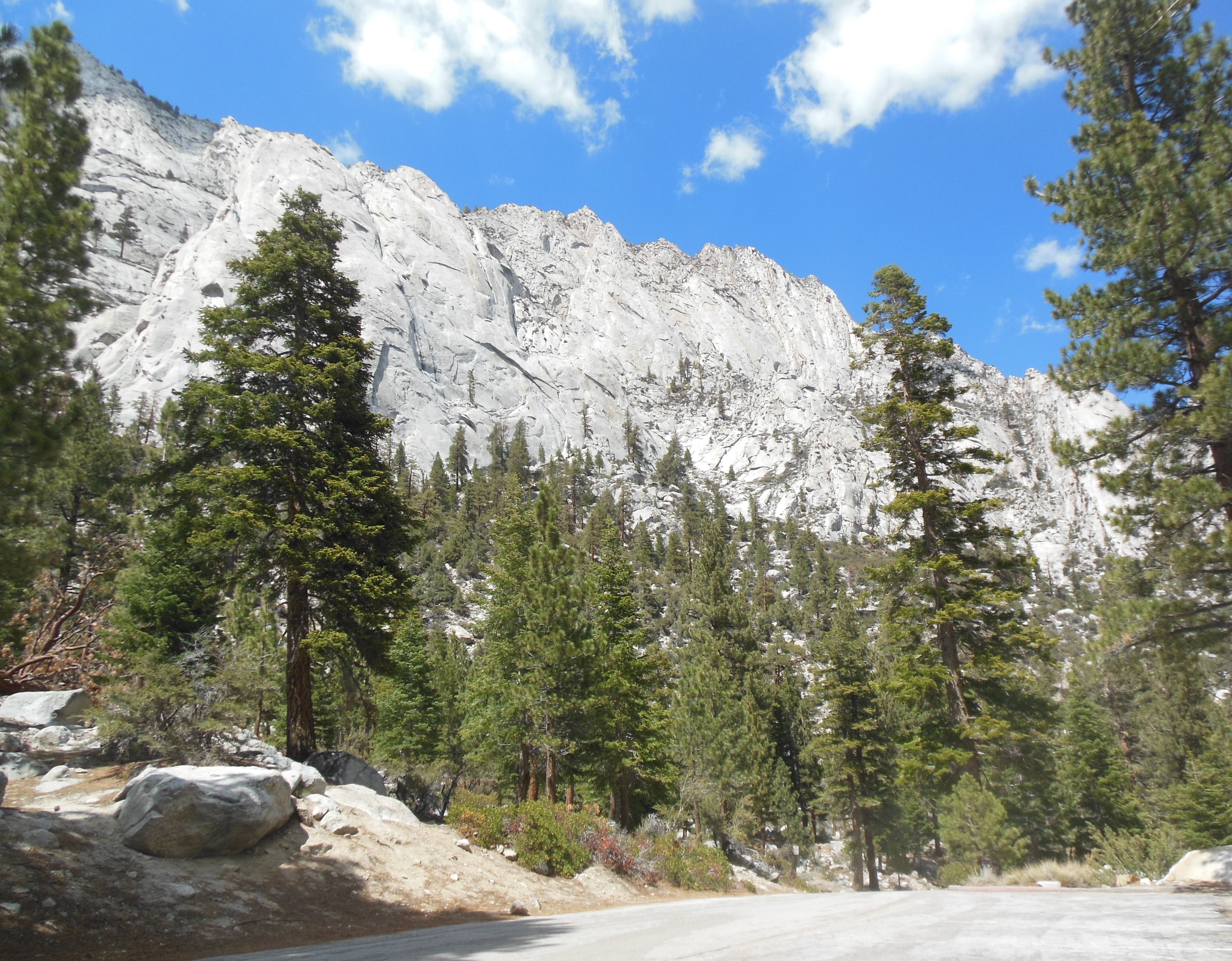
At the end of the drive were two waterfalls. We lingered for a while, enjoying the views, the pine scent, and the cool air as compared to the hot valley.
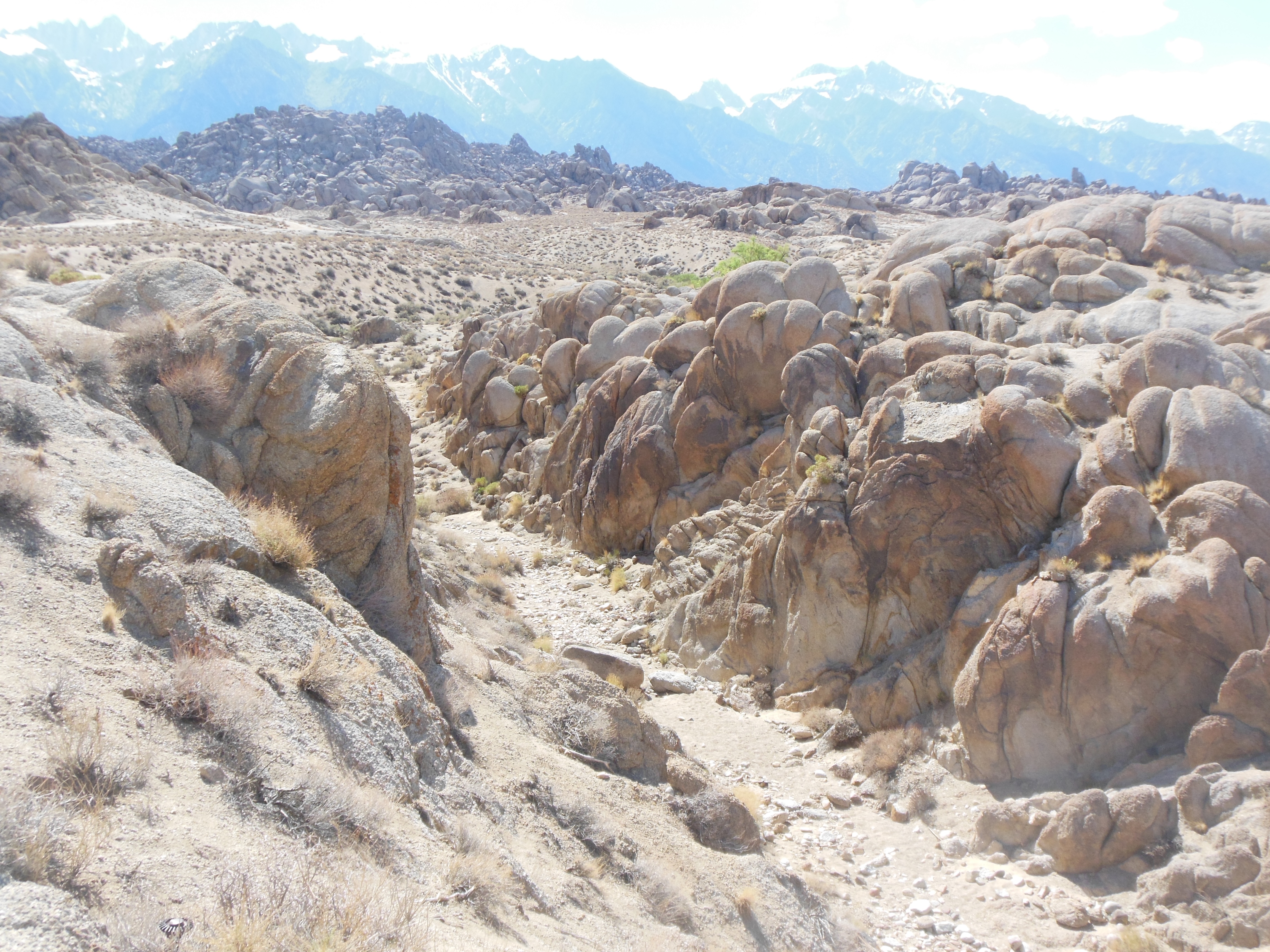
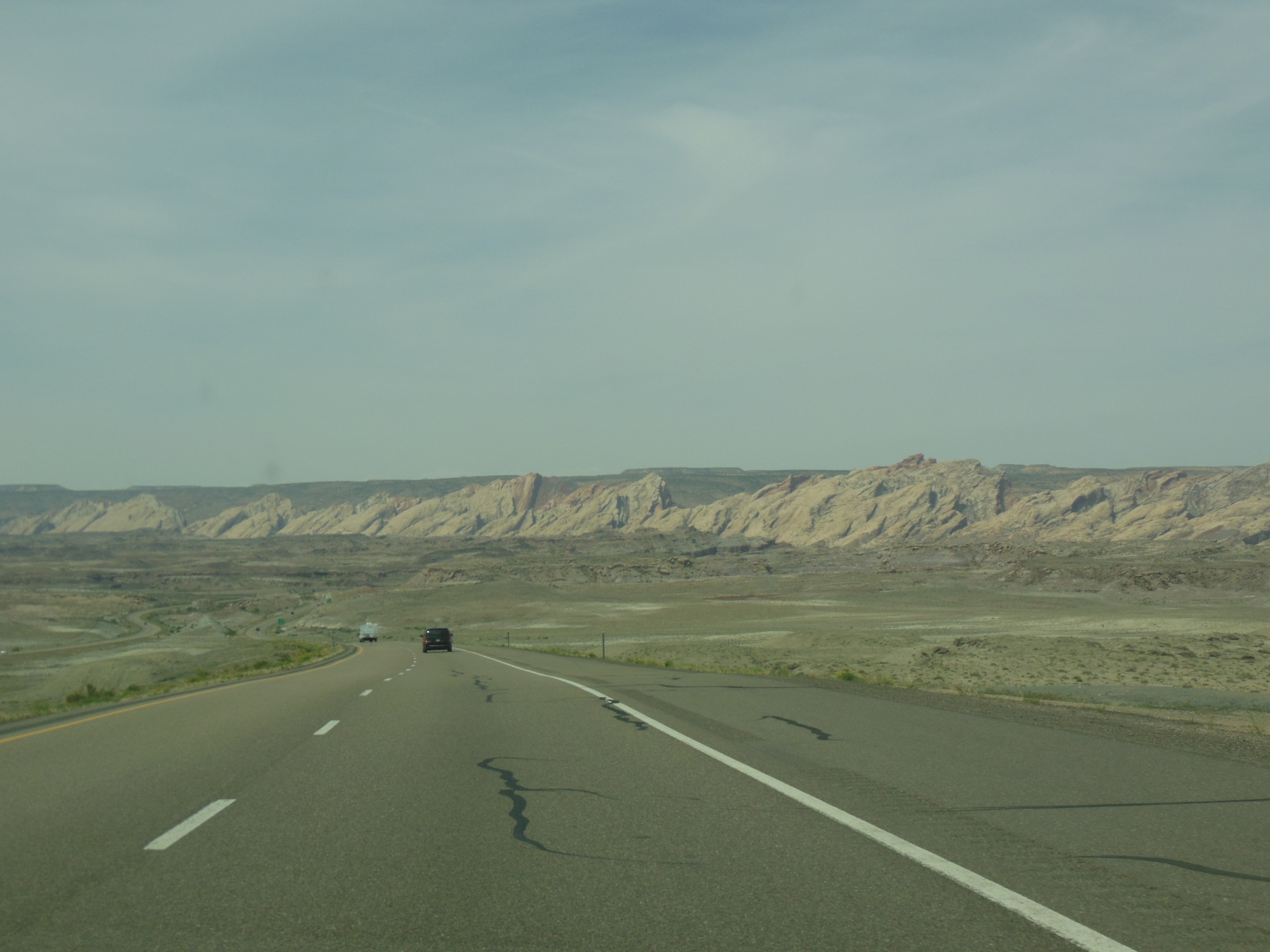
At the bottom of the drive from Mt. Whitney are the Alabama Hills which were mentioned above. We drove around the area envisioning the scenes of past movies.

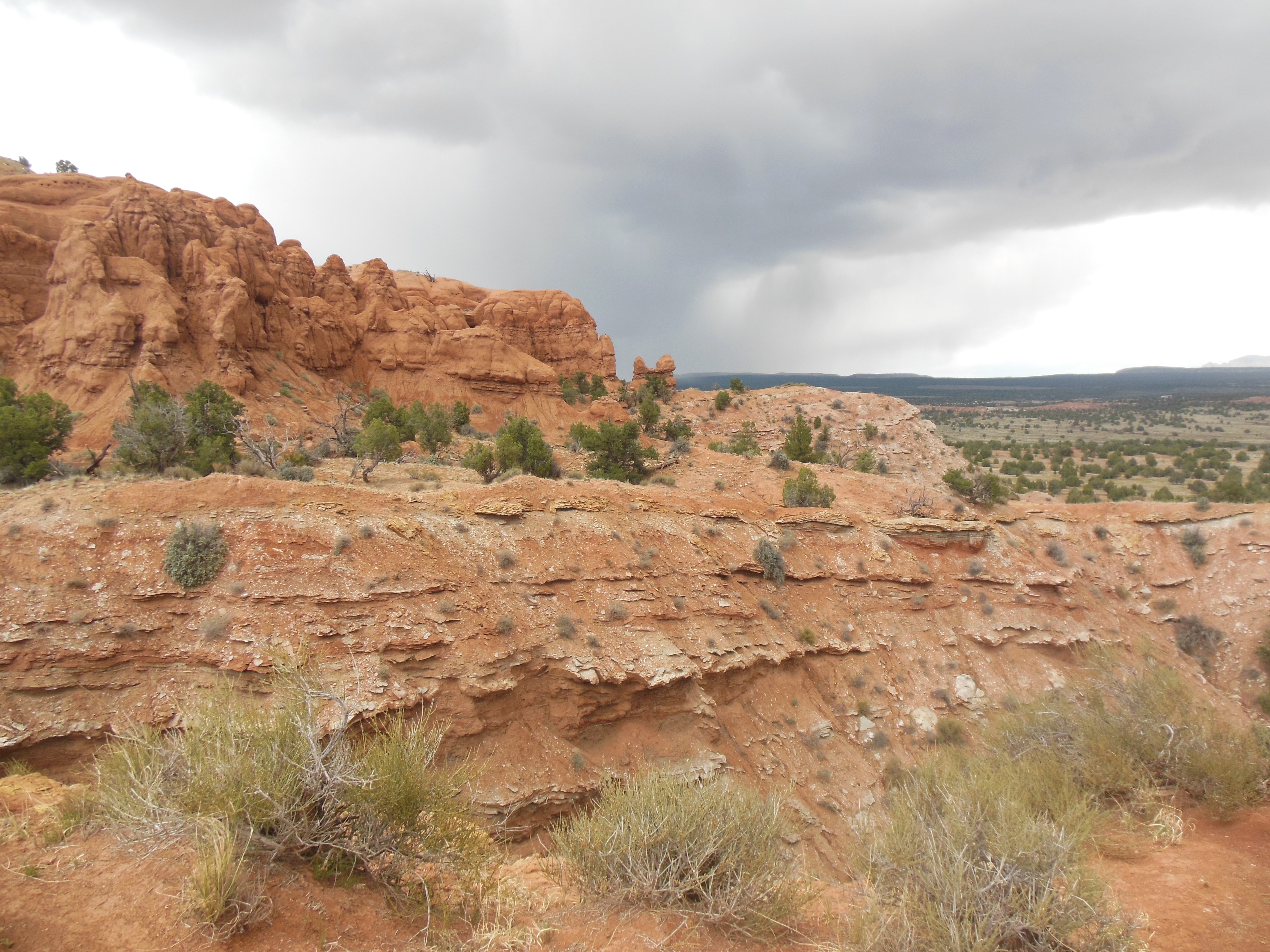
Alabama Hills

Ed May 11 11 pm


Recent Comments