
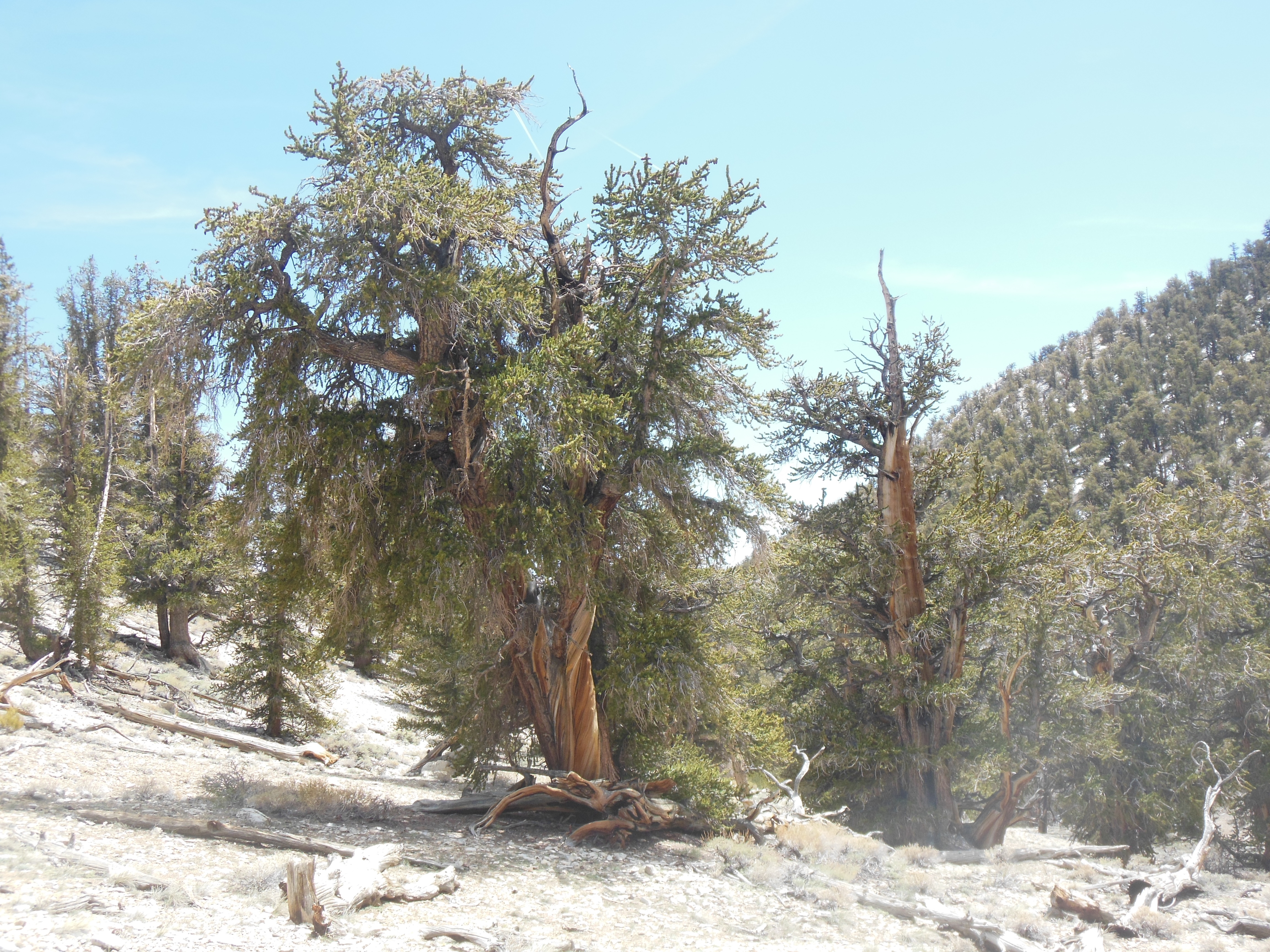
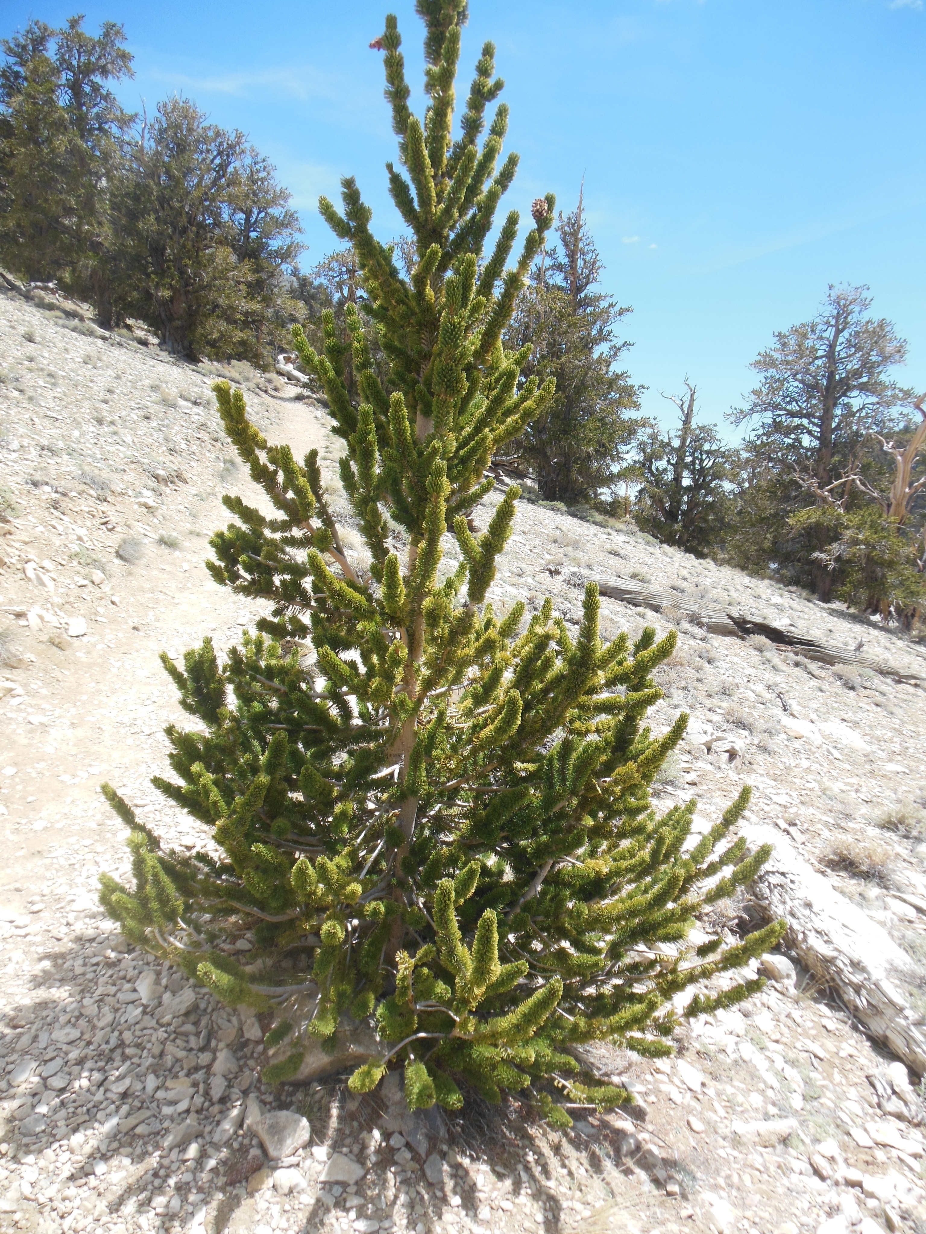
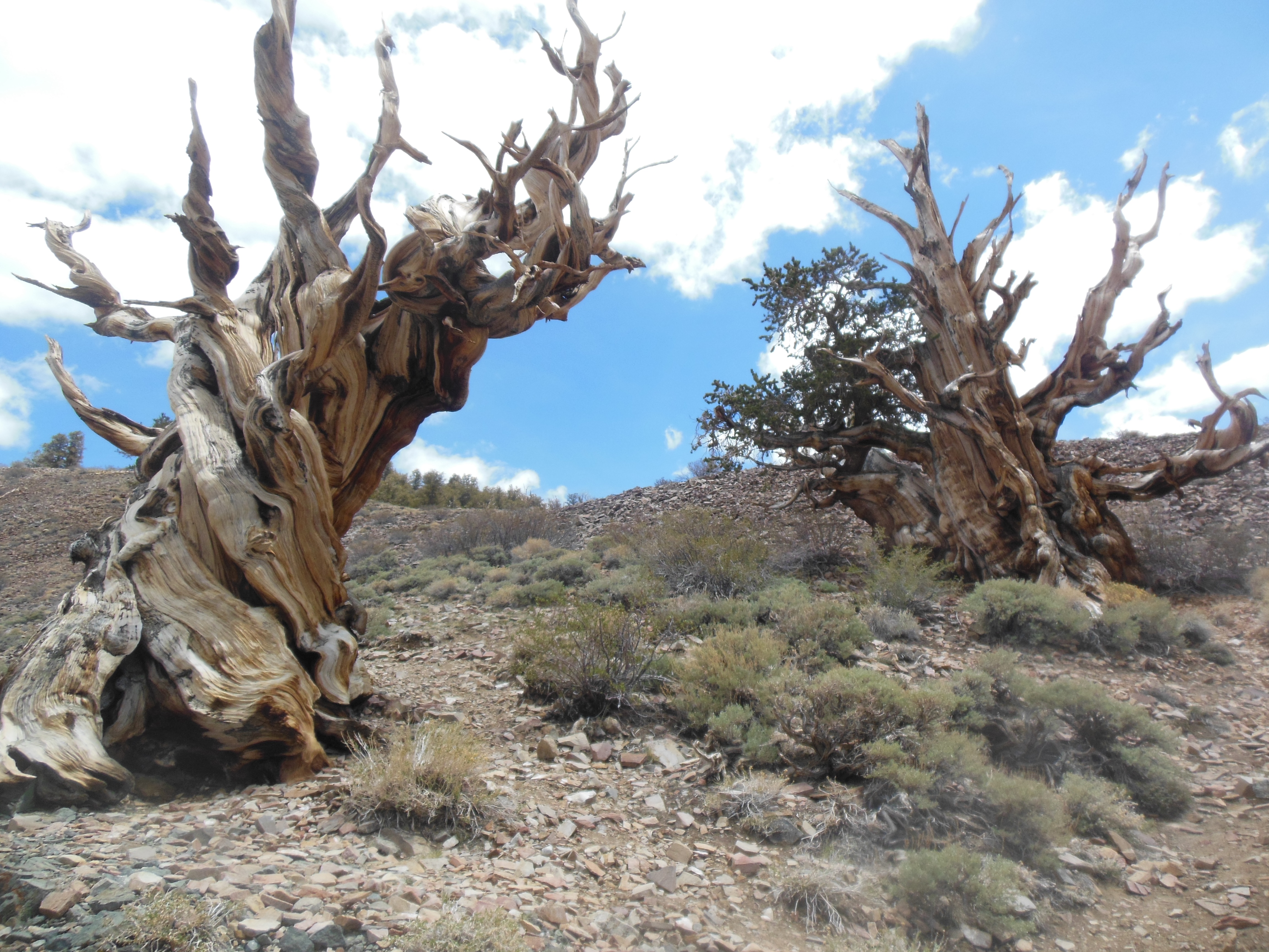
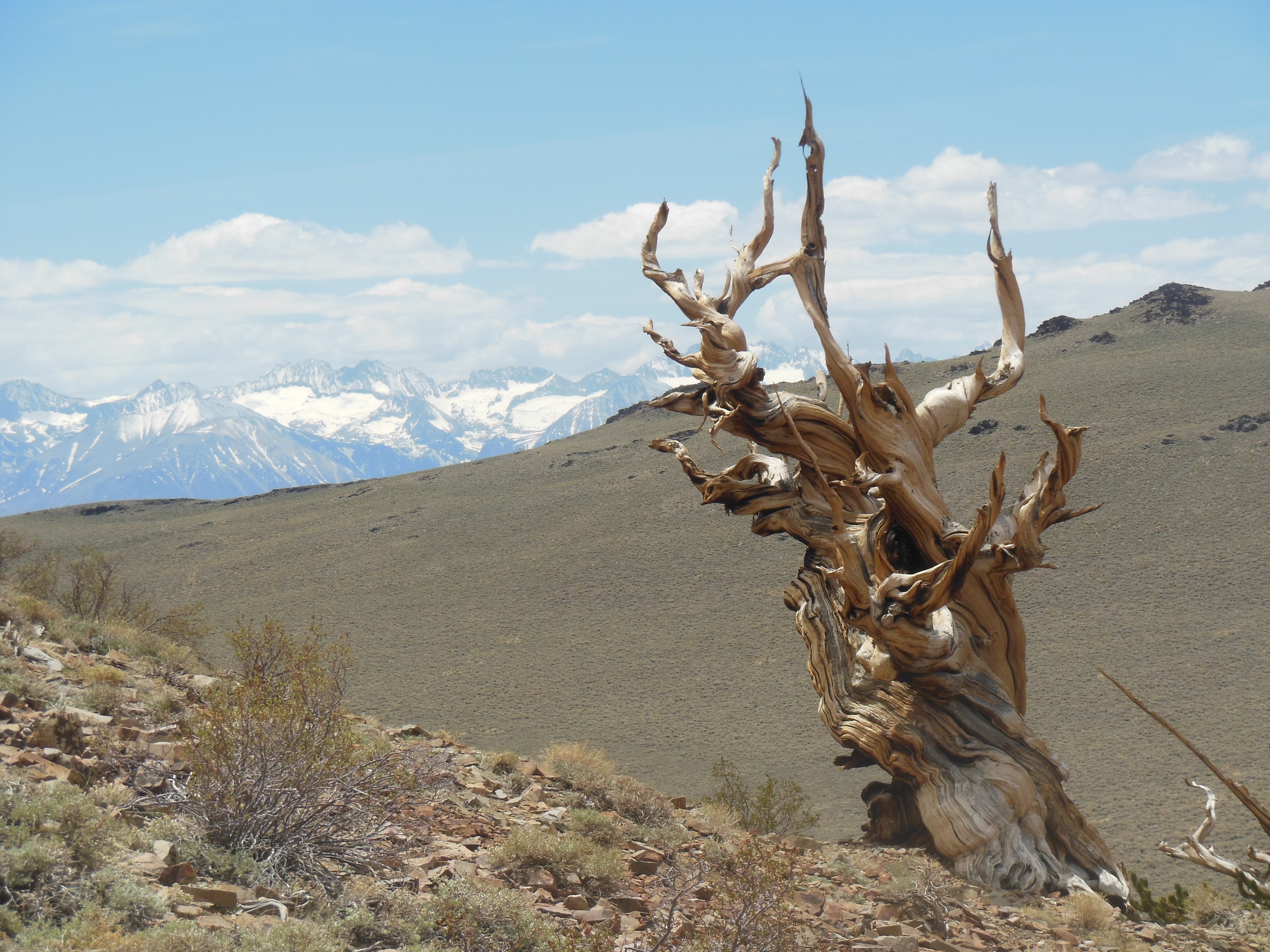
Wednesday, May 22
This day began early. We were out of the room by 5 am to seek out sunrise photos. We drove west towards the valley entrance, towards El Capitan. Not much purple or red this morning, but still the trip was worthwhile. We saw mule deer but no bears at any of our stops.

Sunrise
El Capitan on left
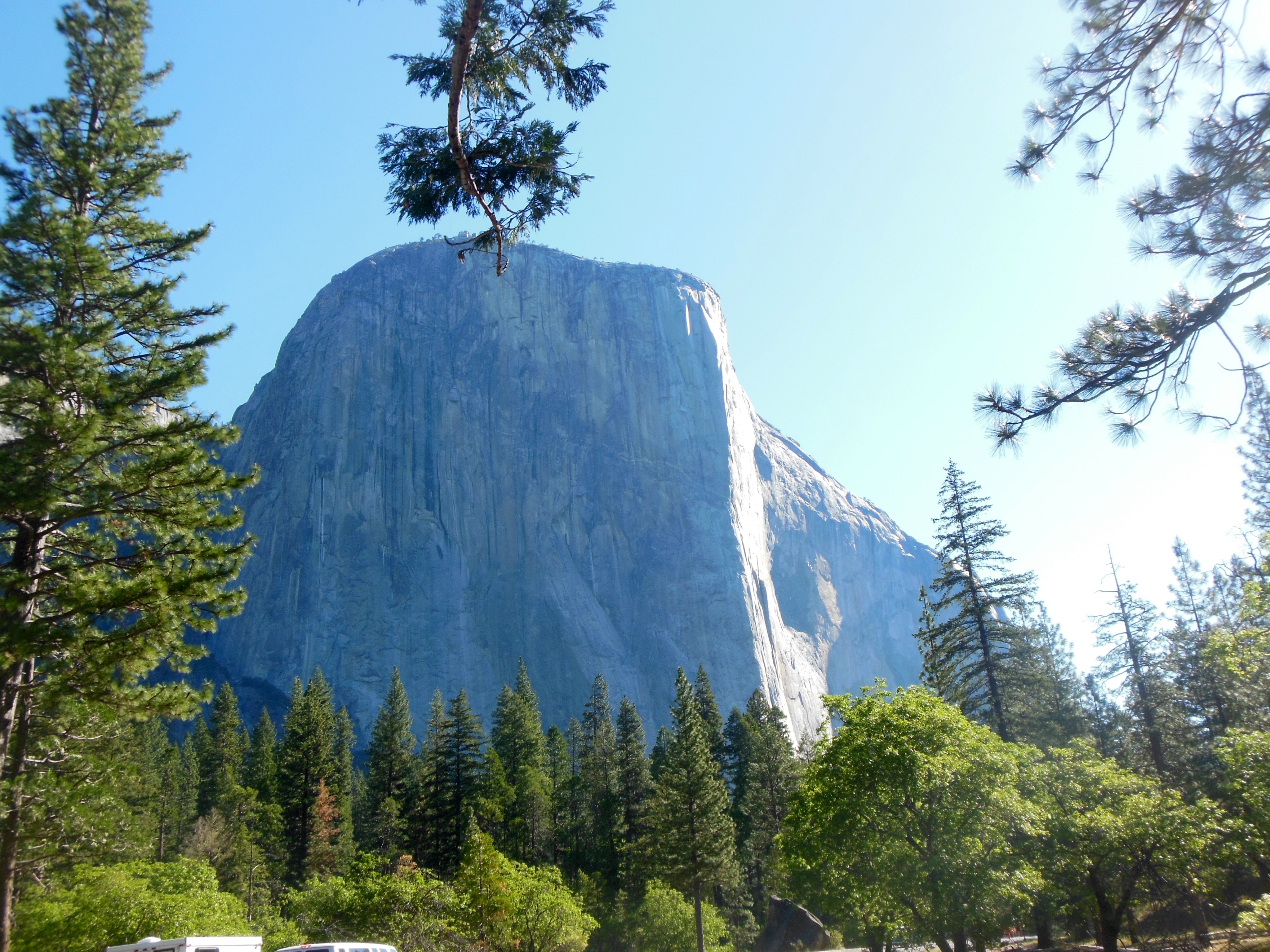
One of our photo stops was at the base of El Capitan. El Capitan is a 3600 foot granite monolith, one of the world’s largest. It’s sheer face makes it a world class destination for experienced climbers. It was first climbed in 1958. It may take several days to climb; climbers sleep on pads they haul up the face and attach to the wall or ledge.
A number of vehicles were parked near the base; we surmised they belonged to climbers since the vehicles looked unattended and there were bear proof food lockers in the area. At last night’s presentation, the ranger mentioned that a climber had died here Sunday; a rock slide had cut his rope and he fell. On the shuttles we have seen people with climbing equipment, including carrying portable bear proof food lockers.
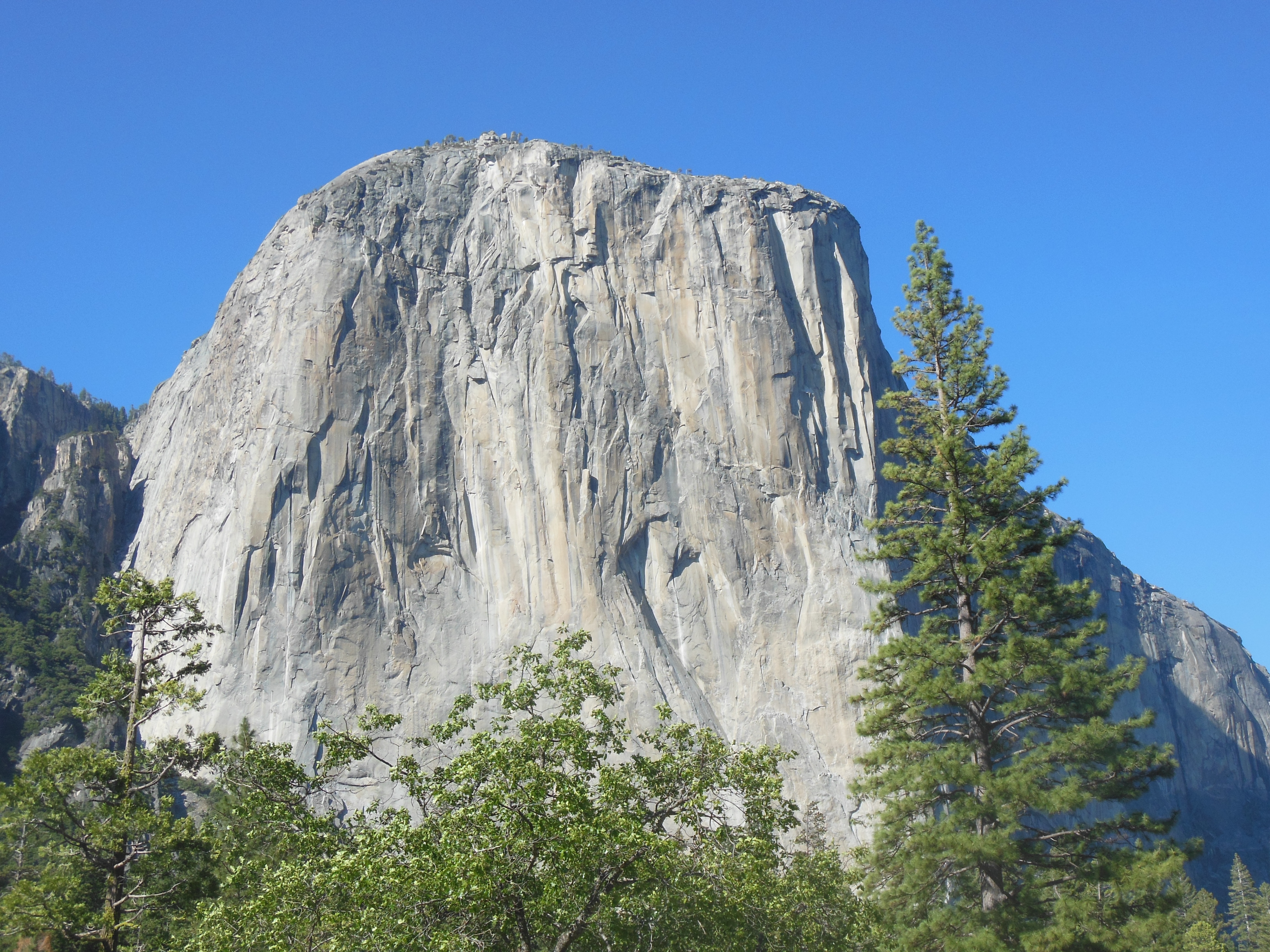
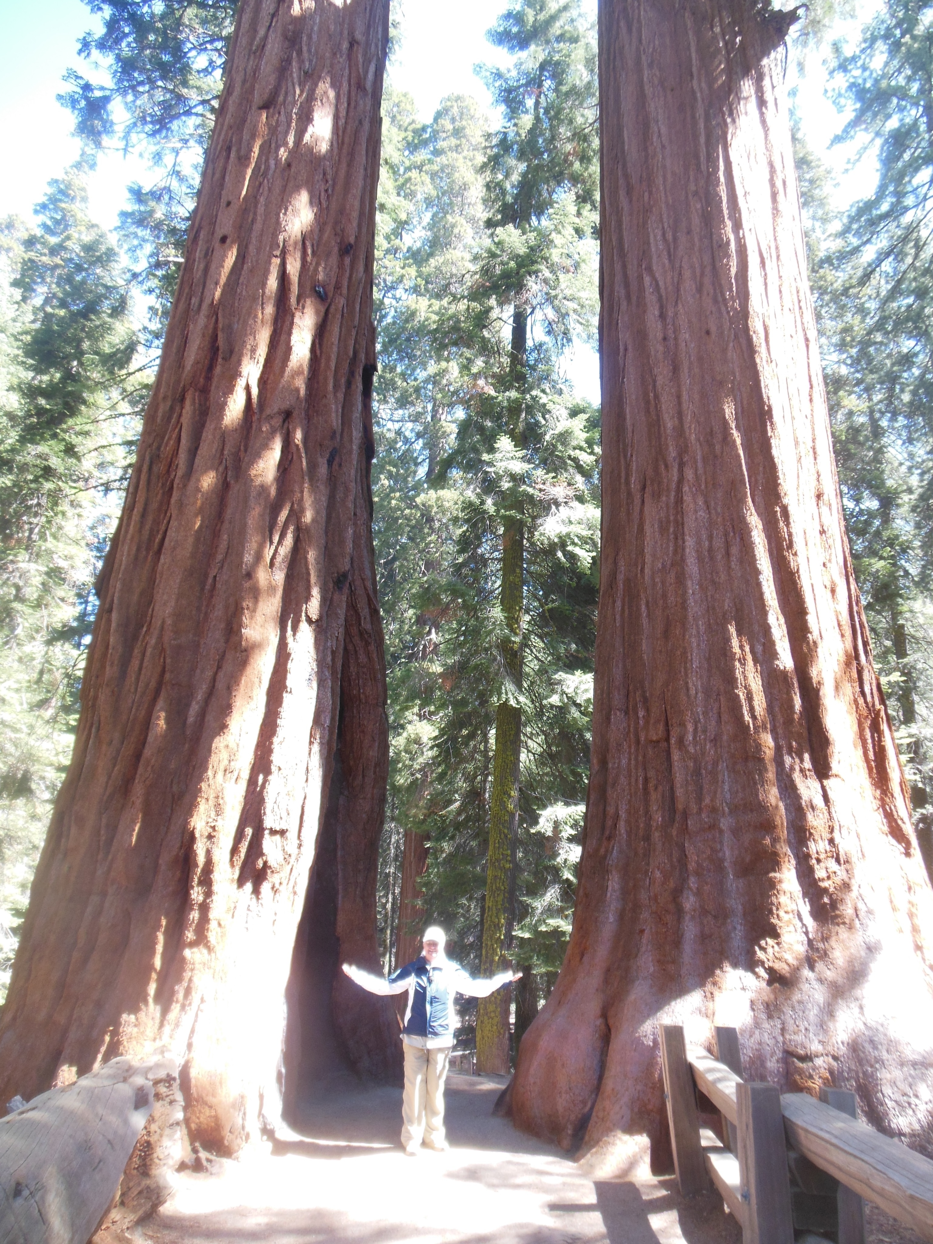
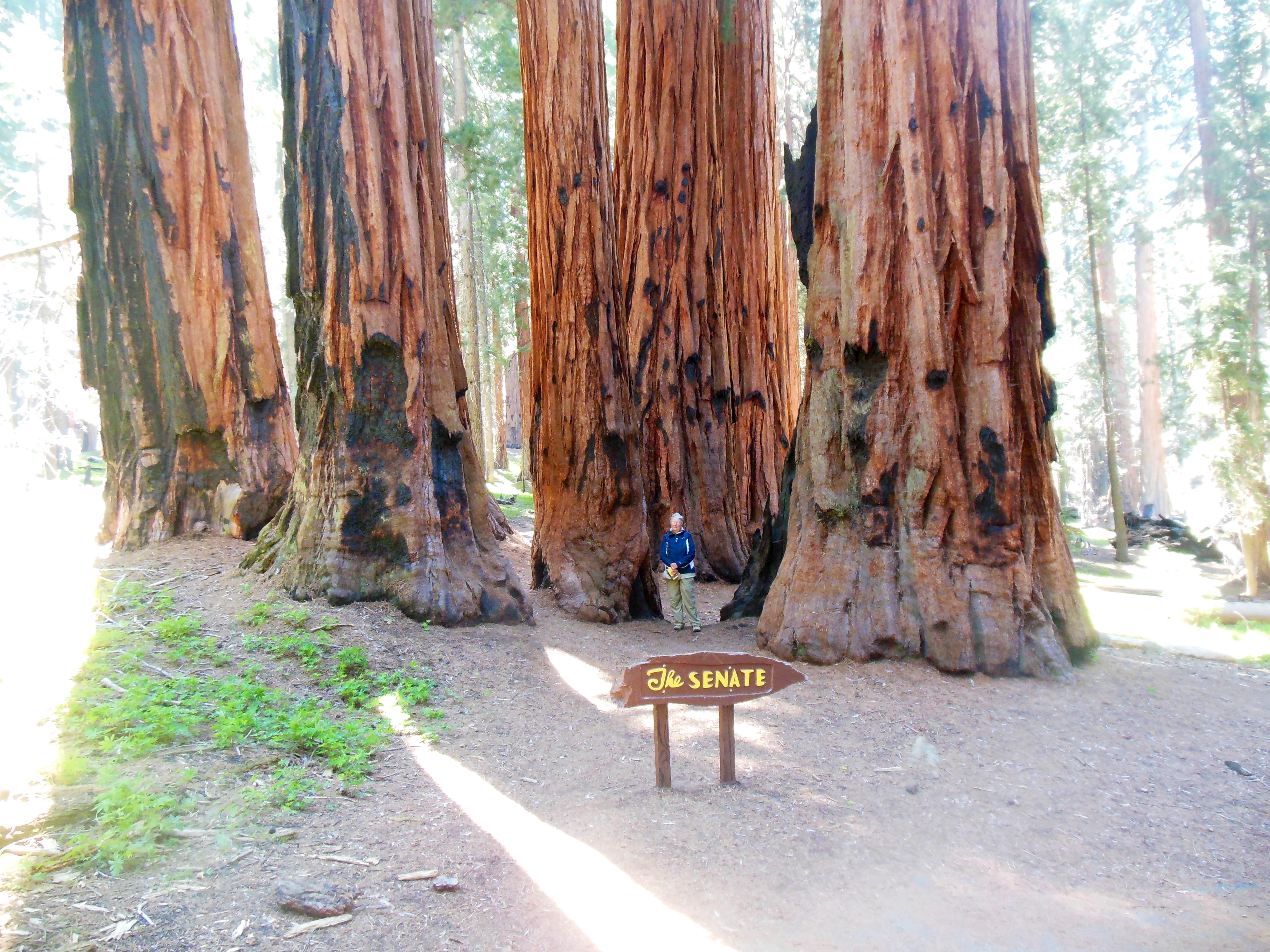
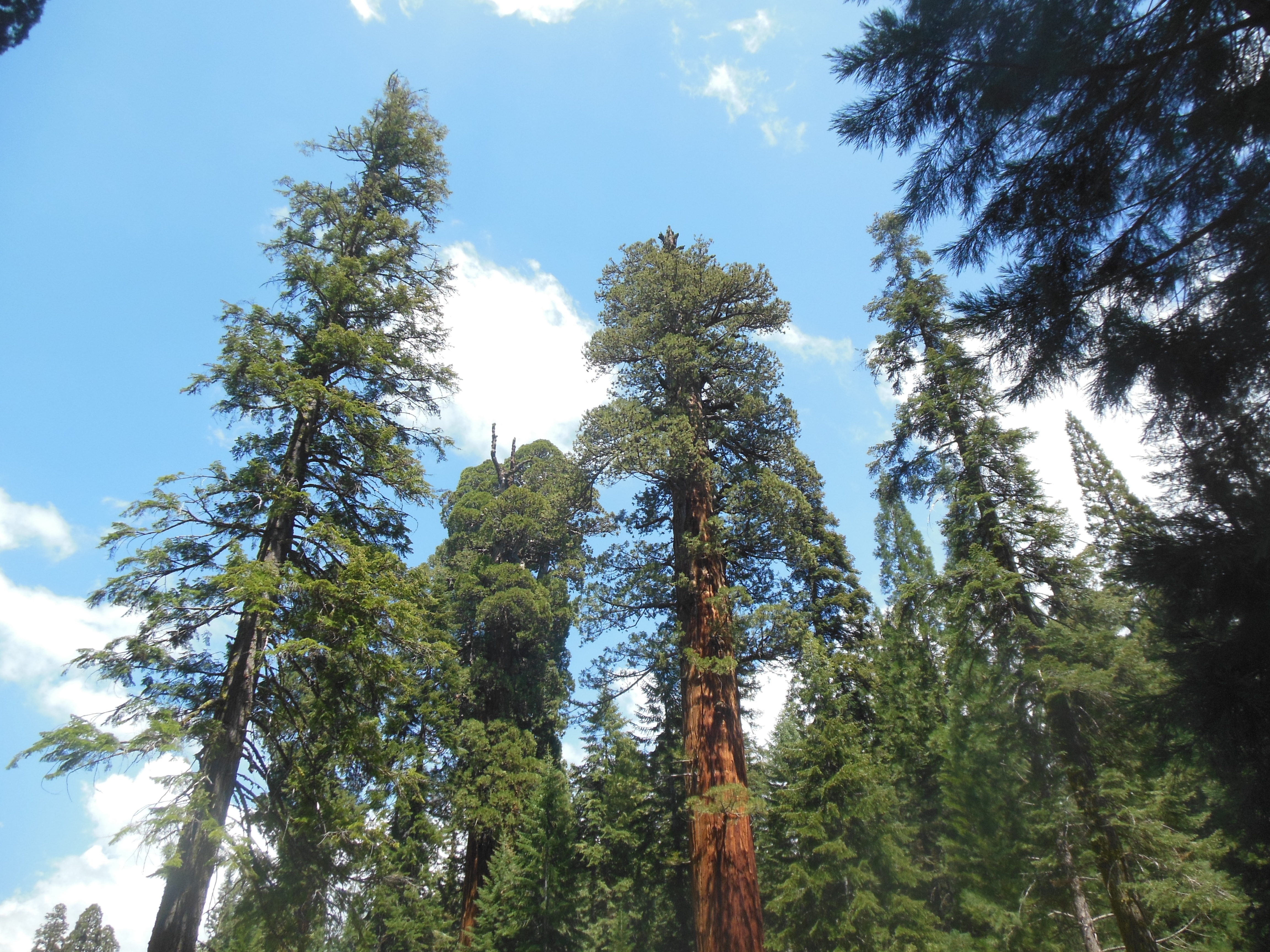
El Capitan

Biking
There is a big, big push here, and in Sequoia-Kings Canyon, to remove human food from any place animals can get at it. Marmots, deer, bear, squirrels, coyotes, etc are all attracted to human food. When we parked our car for the night at all of our lodgings, we had to bring in anything that might attract animals. Crumbs, cans of Coke, aromatic dryer sheets, etc. We have to sign an acknowledgement that we know and will comply. Parking lots are patrolled and cars towed if they violate the rules.
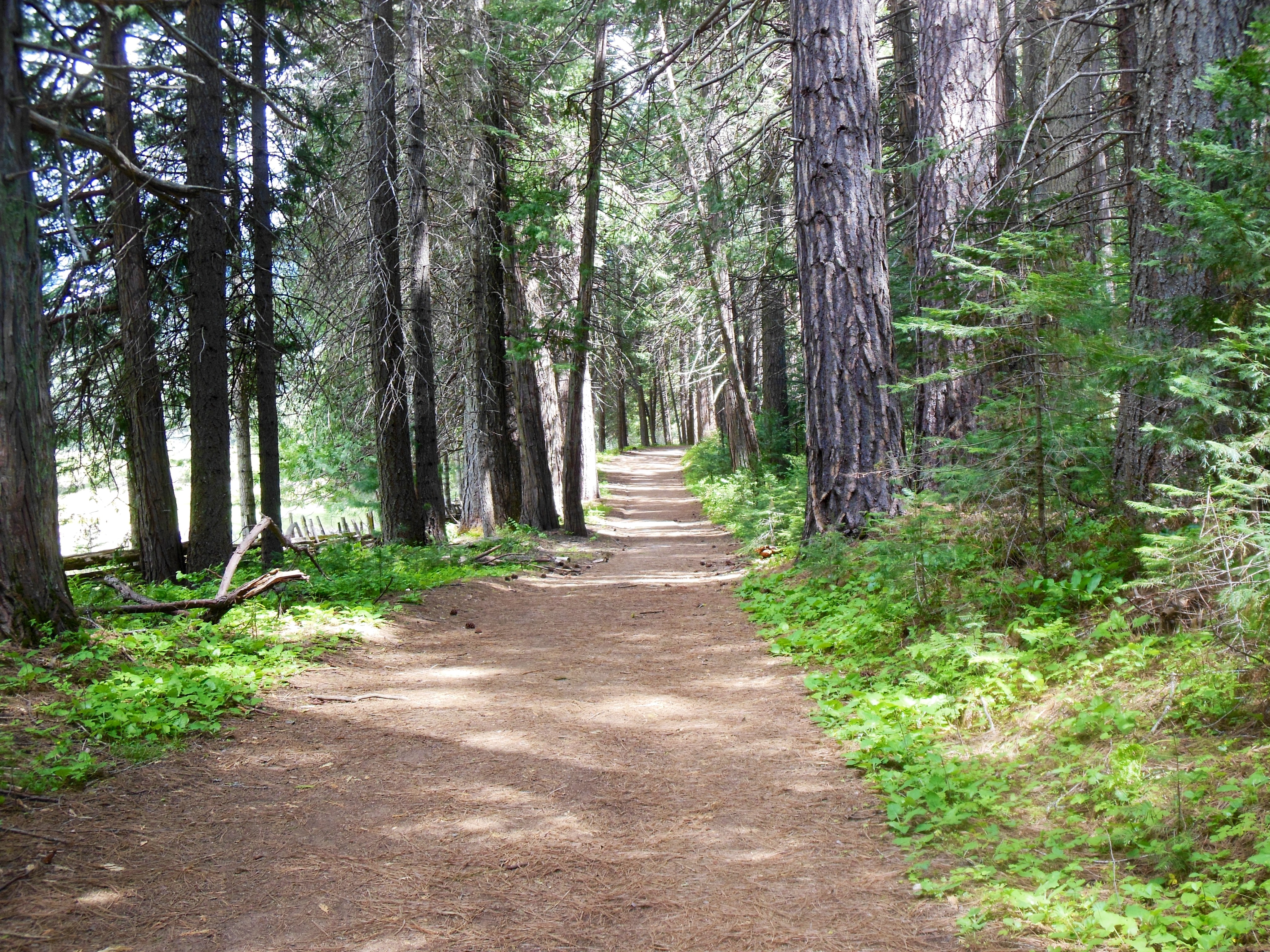
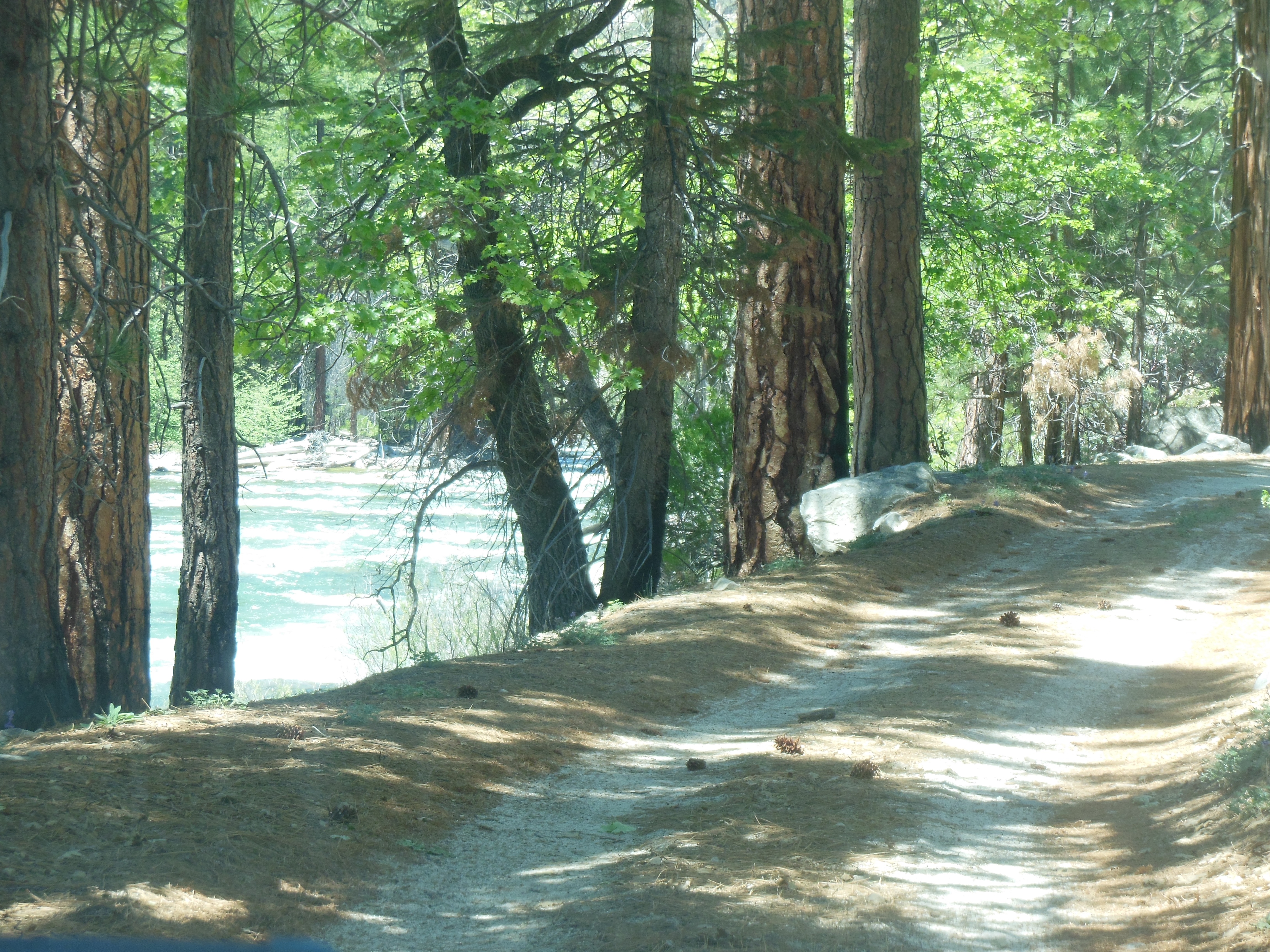
After breakfast and showering, we headed out for a bike ride. Single speed coaster style bikes are rented here-we had brought our own helmets to wear. (One advantage to driving versus flying.) These bikes were just Chris’ style.

Biking at Yosemite
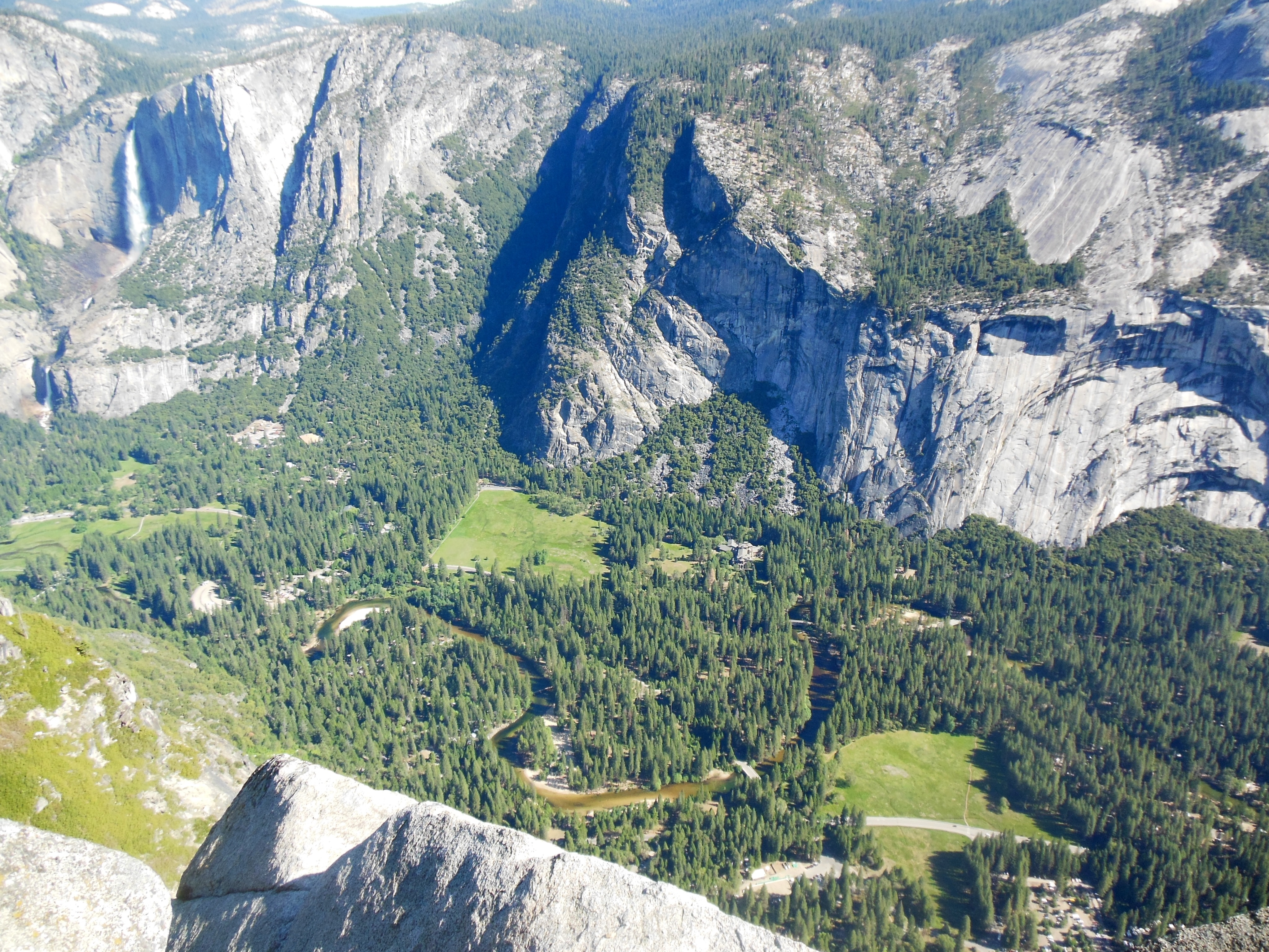
The bike path is 13 miles long and paved, shared with pedestrians. The ride is primarily flat and you are able to see much of Yosemite Valley. It could have been better marked but we found our way. It was so relaxing that we did it twice with a lunch break towards the end of the second loop.
We have commented before on the number of international visitors and the numerous foreign languages one hears. However, there are very few blacks and we might have seen one habib.
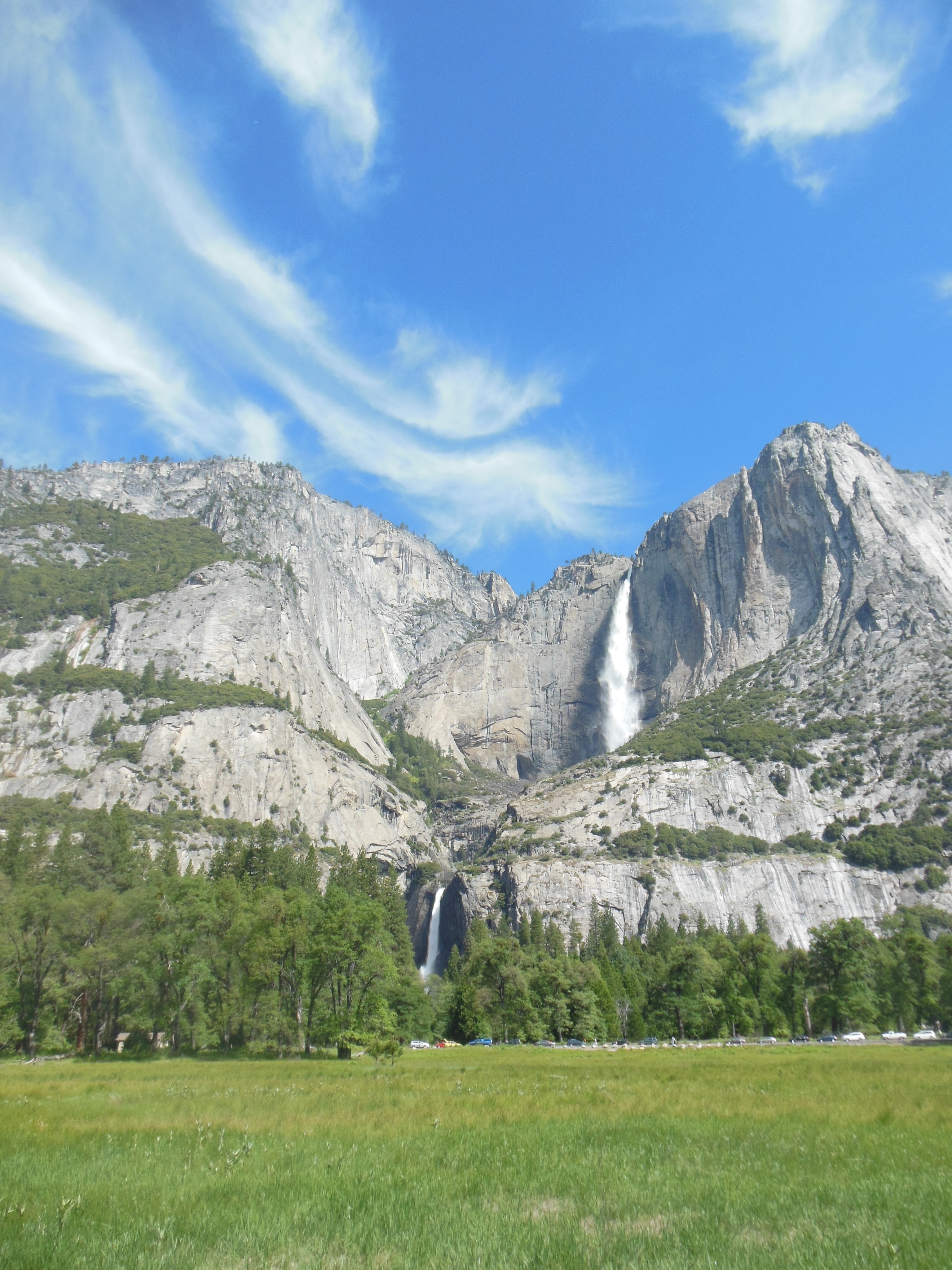
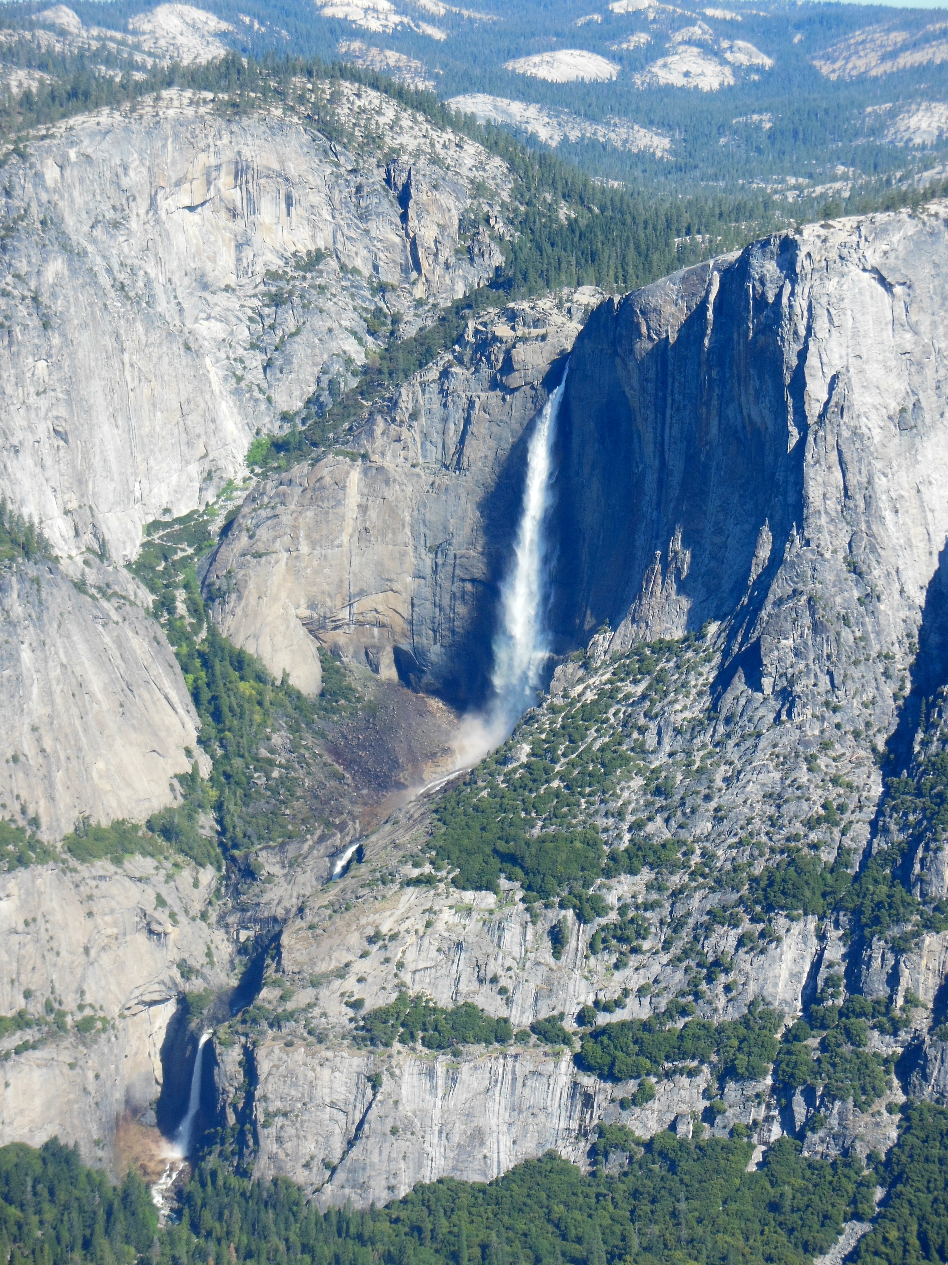
In the afternoon we went back to Tunnel View to get pictures of El Capitan, Bridalveil Falls, and the Valley. This is the location where our pictures on Sunday as we entered the park were a washout due to shooting into the sun. It was our first time in the car since Sunday. Mission was accomplished and we had dinner in the Yosemite Lodge at the Falls Food Court. For a mass feeding operation, the food has been surprisingly good.
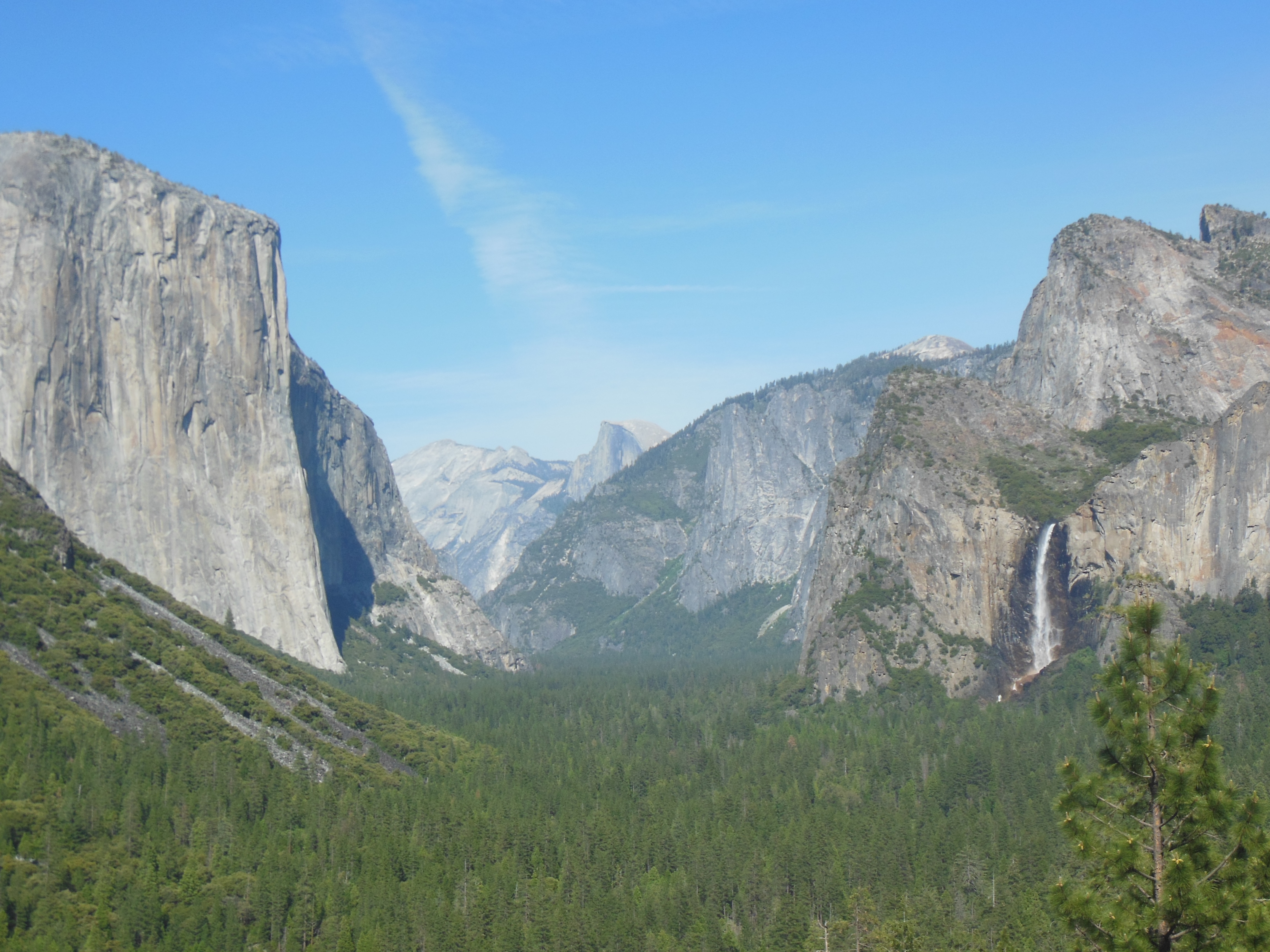
El Capitan left
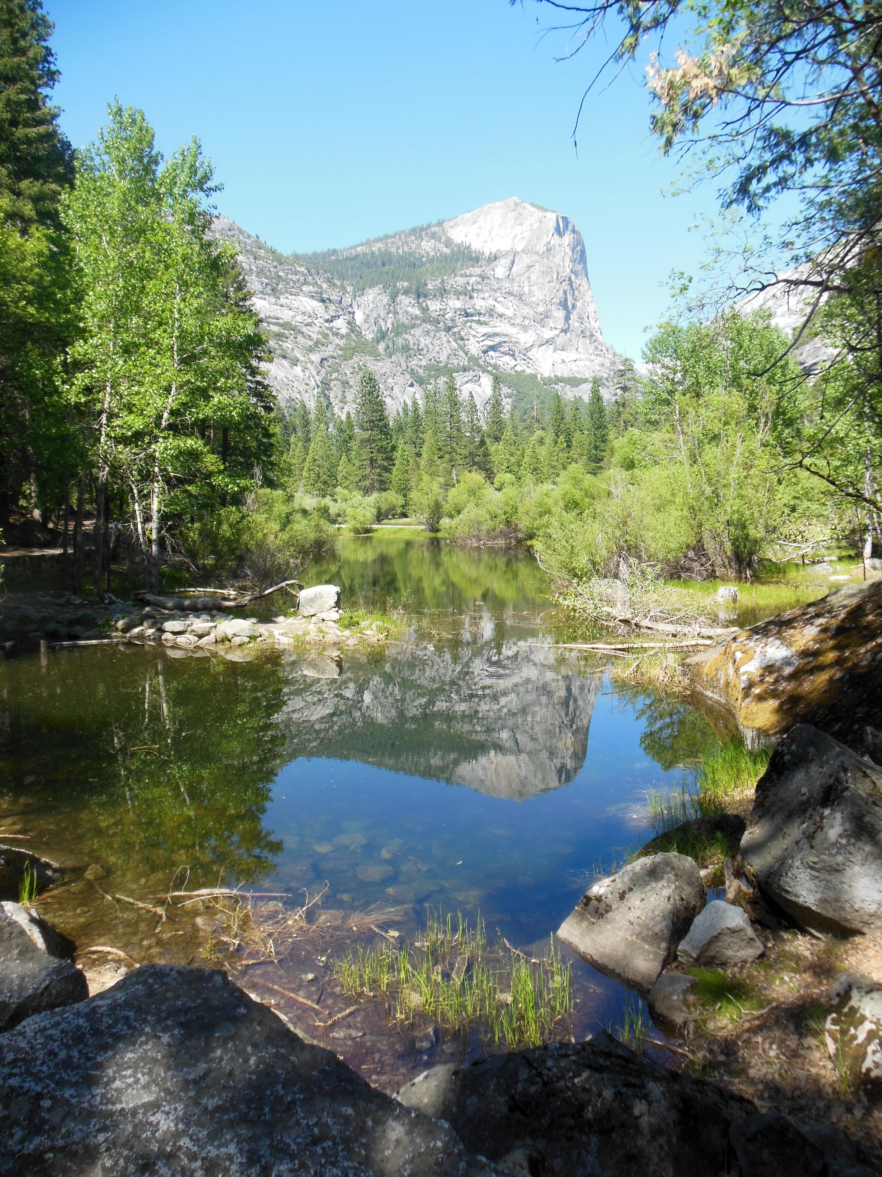
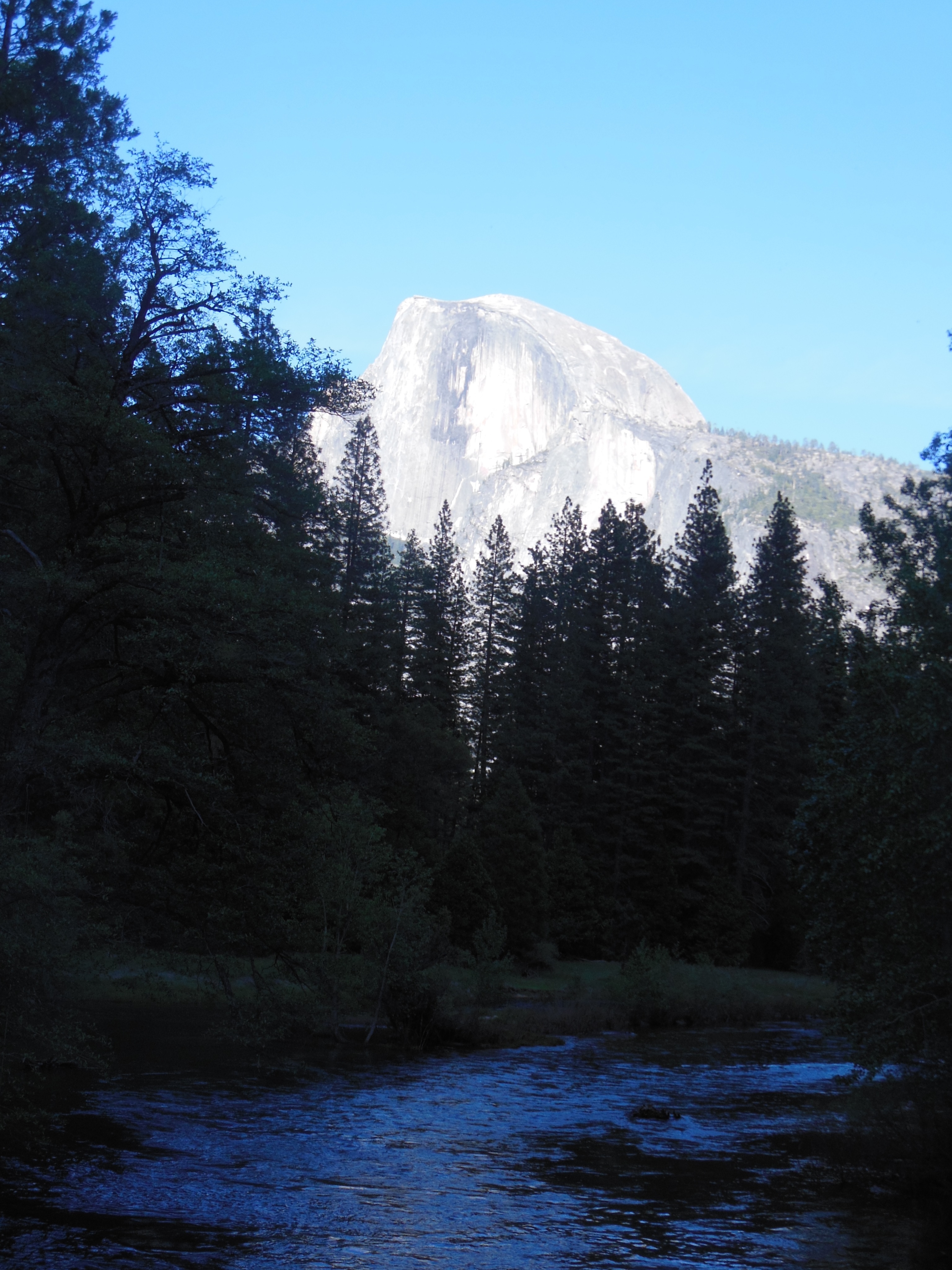
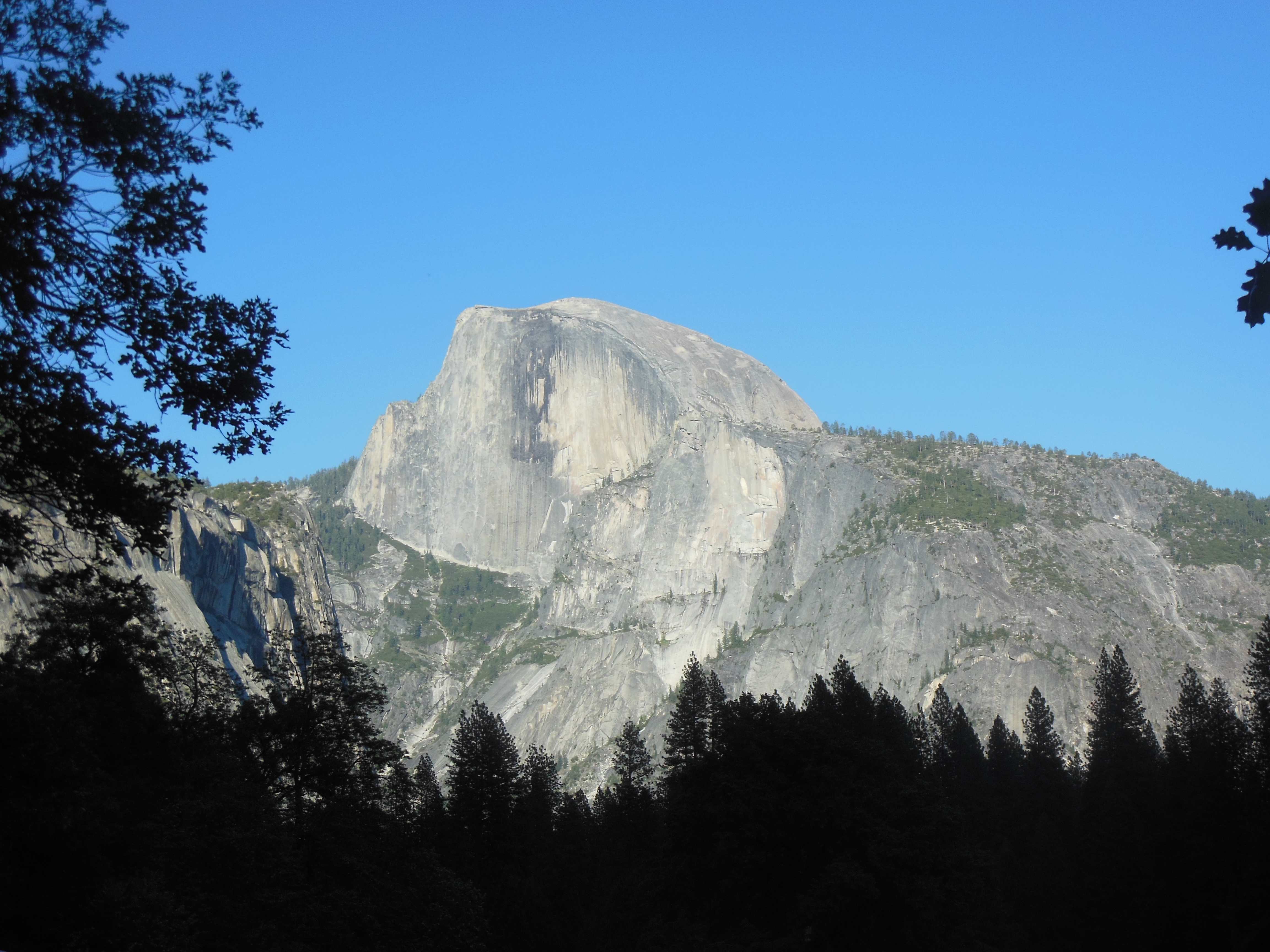
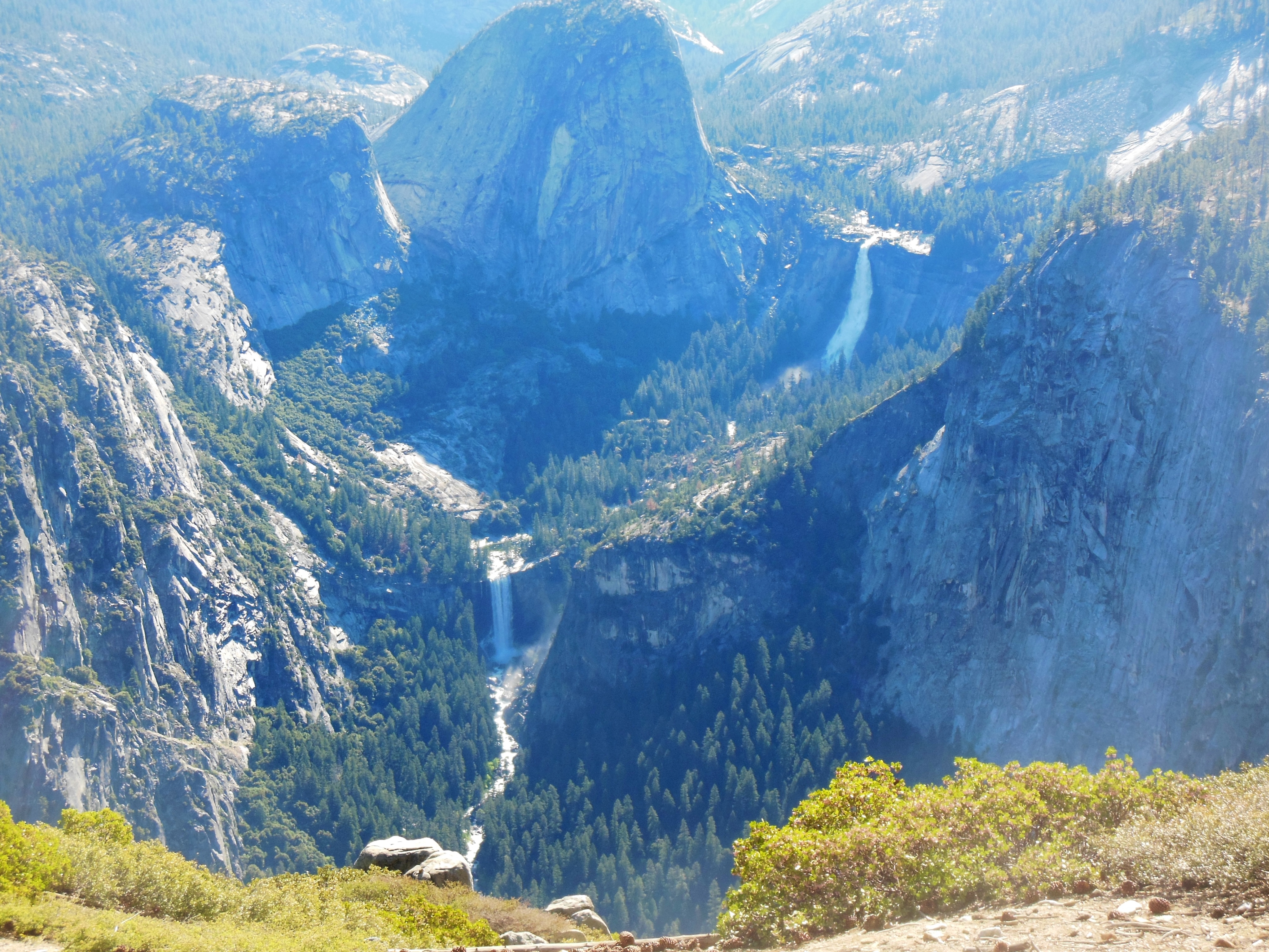
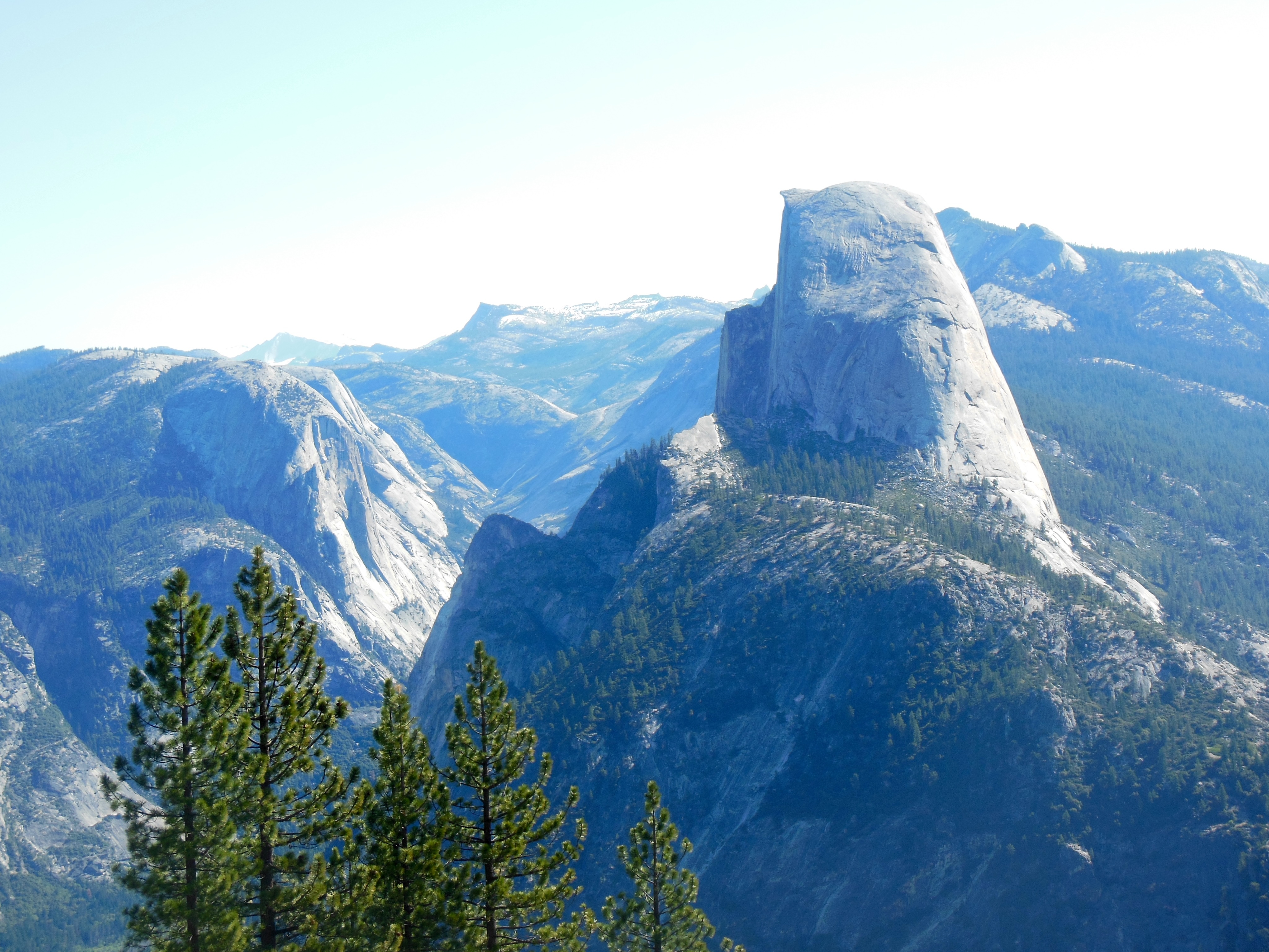
Half Dome, back center
Bridalveil falls, right

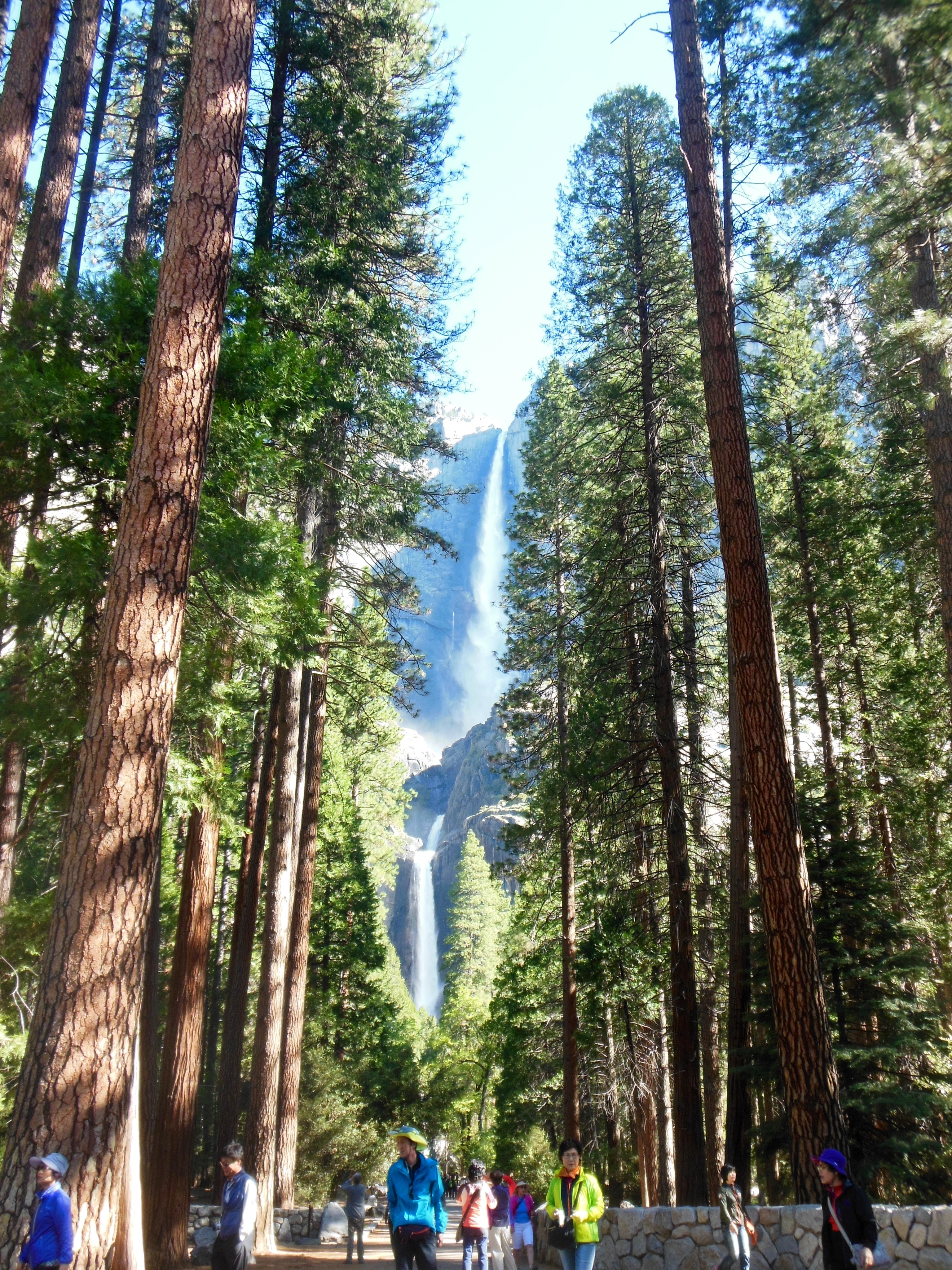
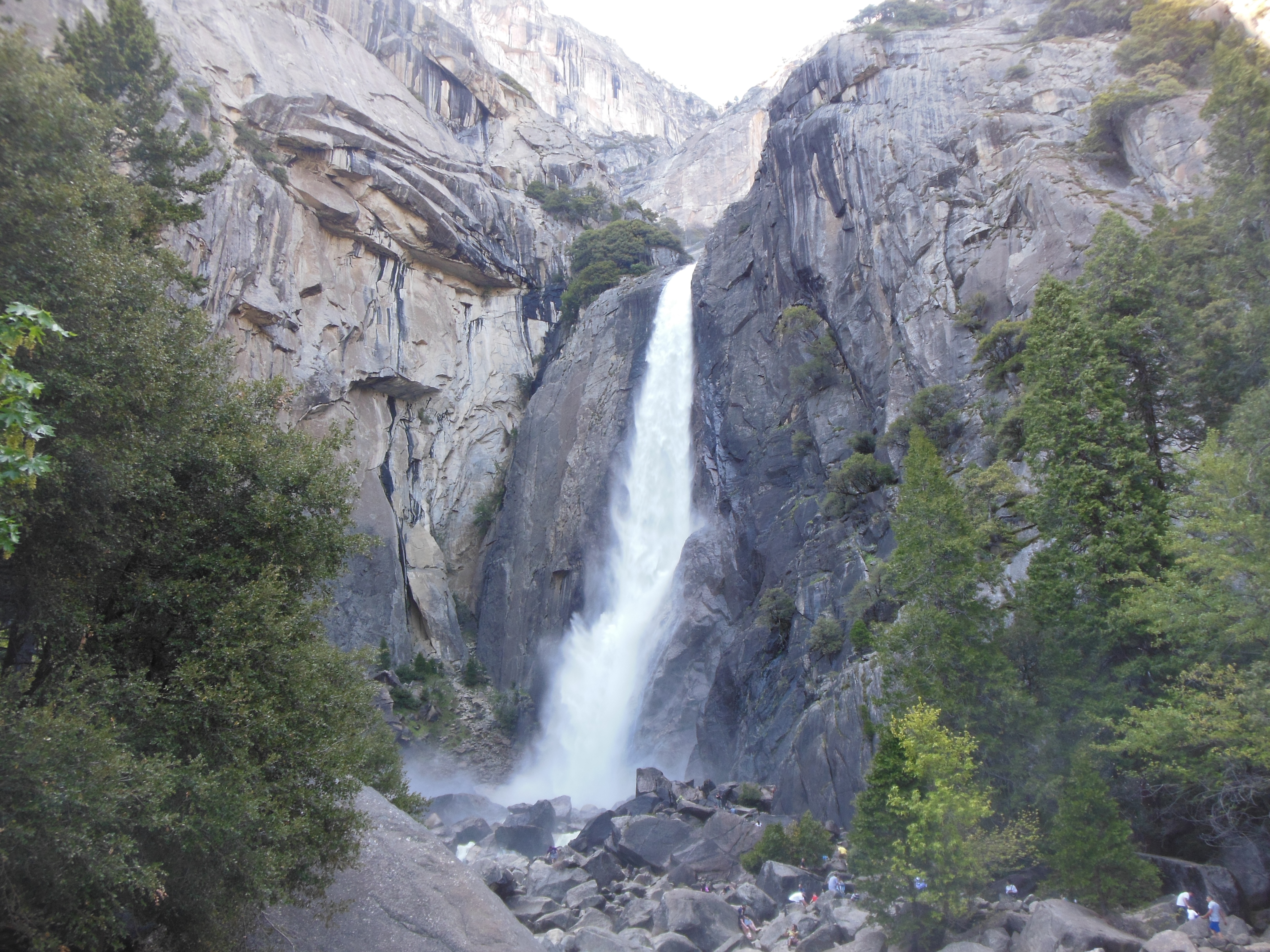
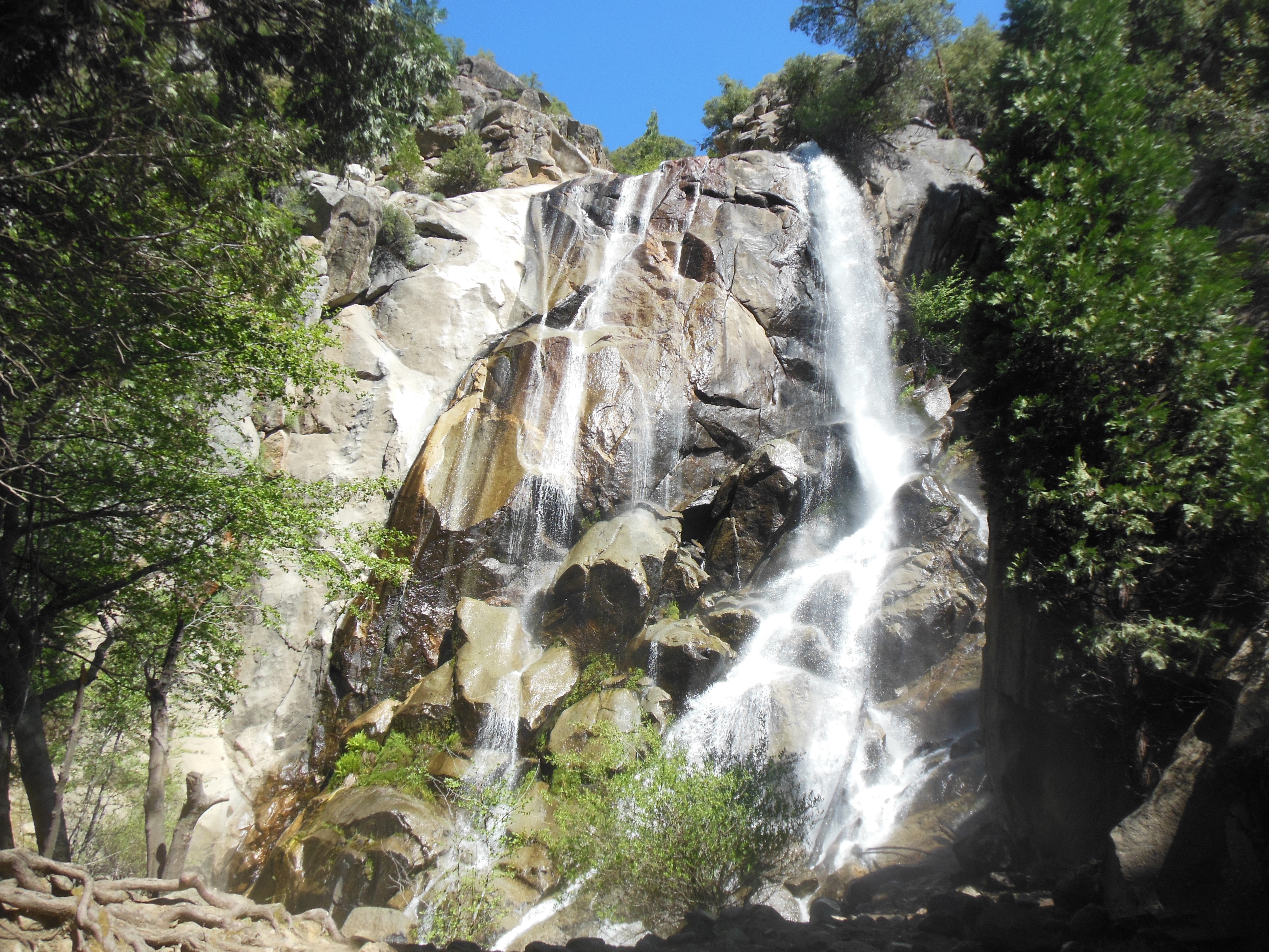
Bridal veil falls up close
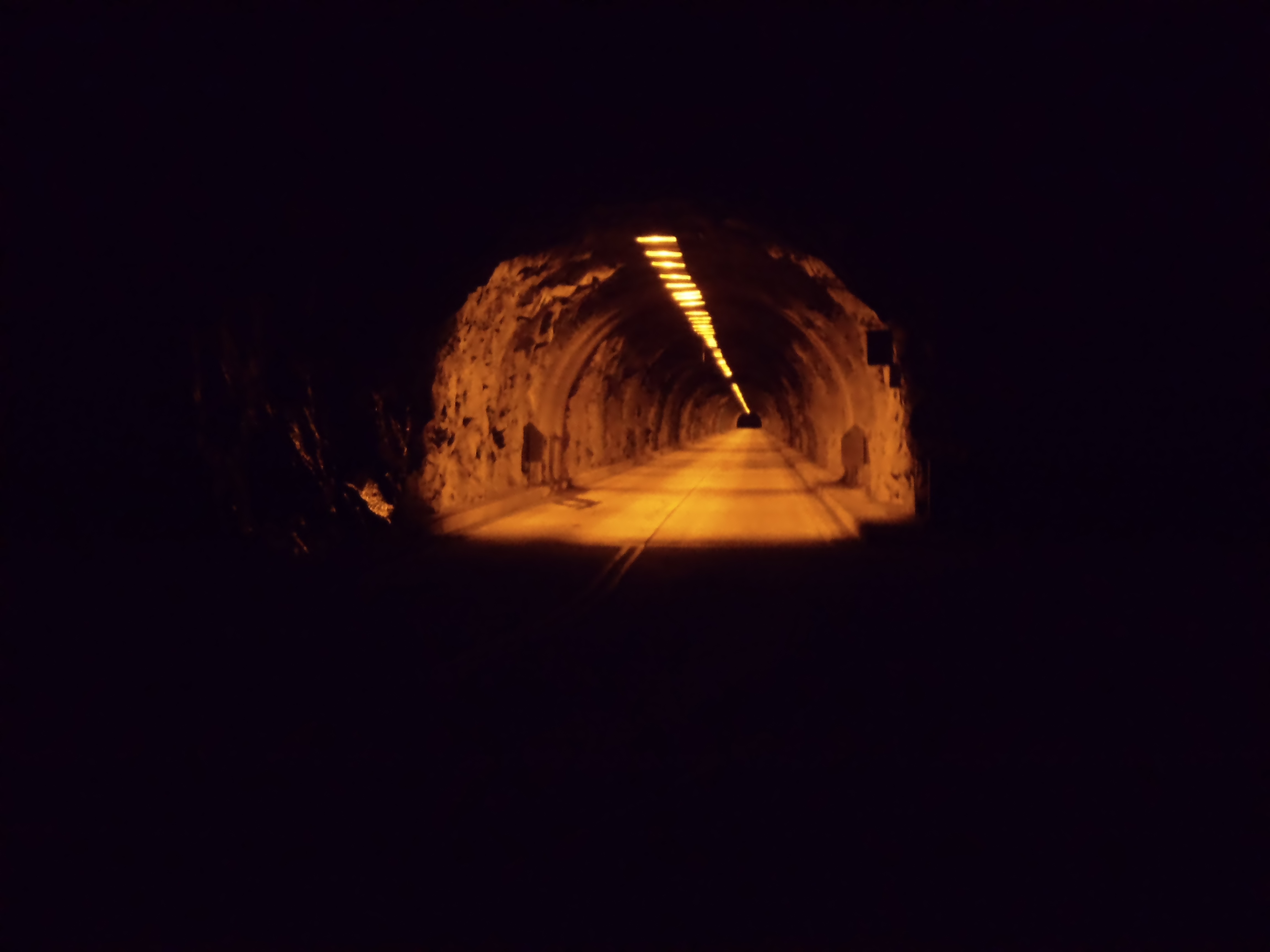
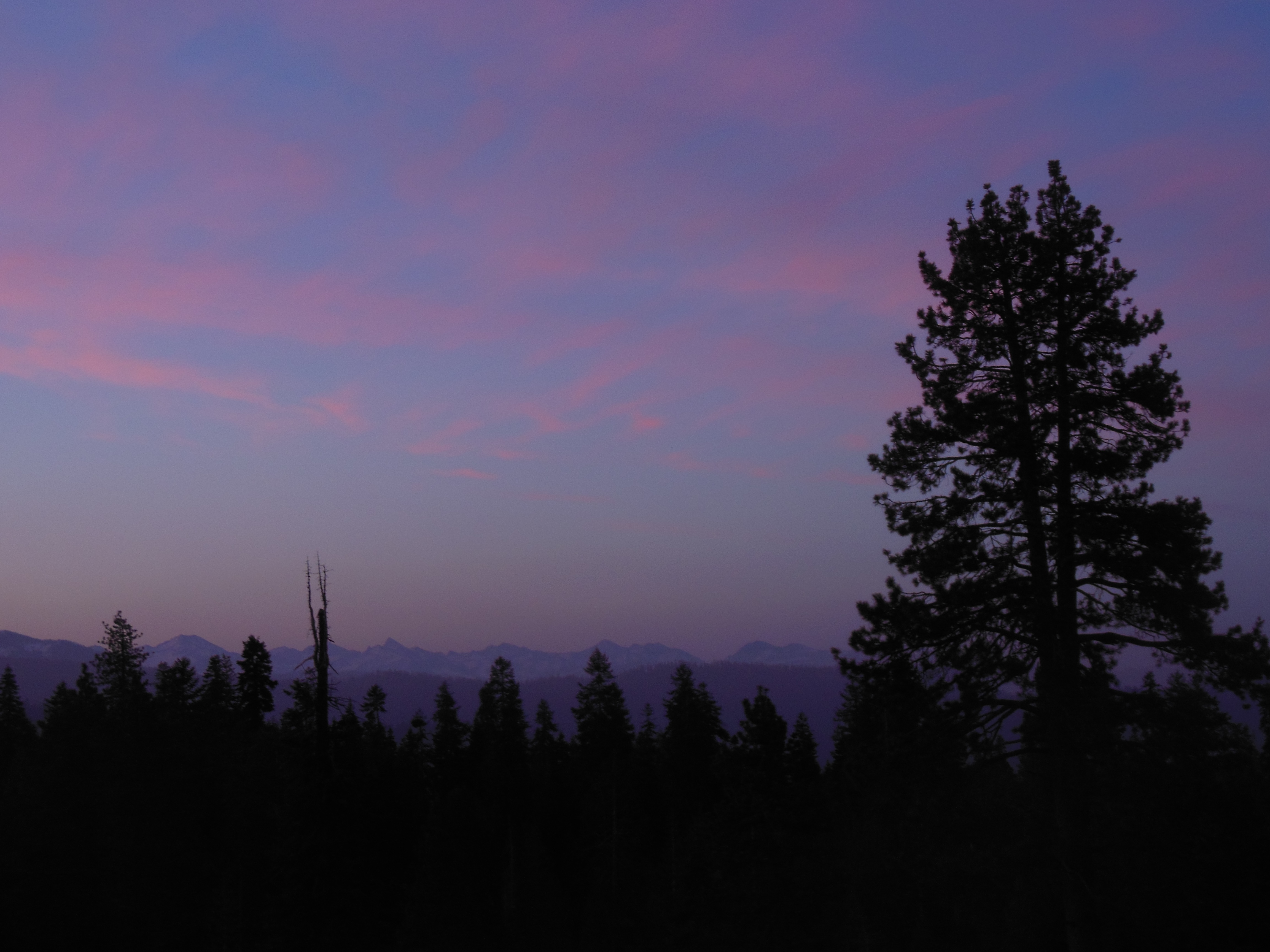
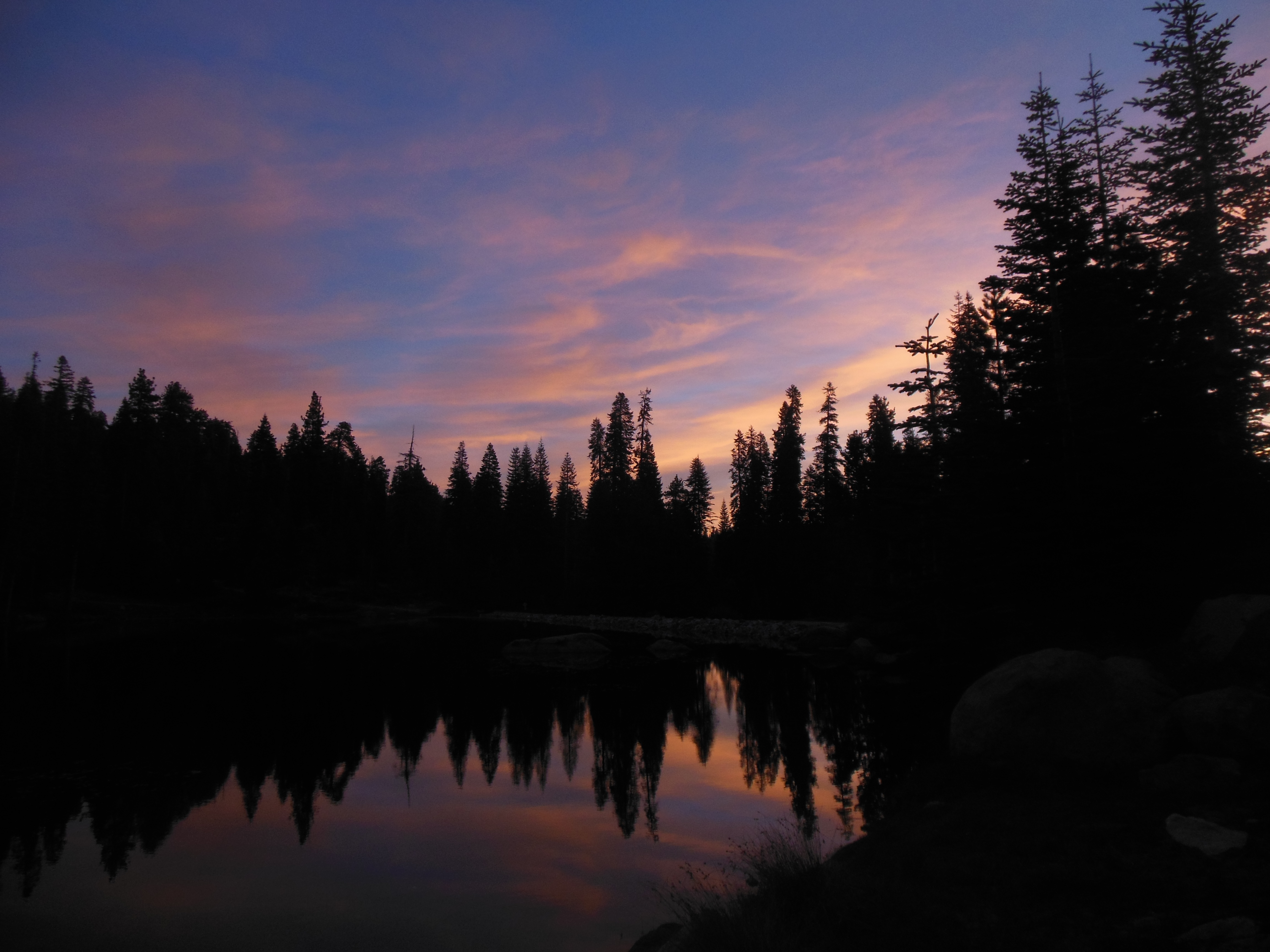
Our big event was a 2.5 hour moonlight tour of the park on an openair tram. My camera is not sophisticated enough to show the stupendous views. Full moon is only a day or so away and the light effects were overwhelming.
There are the usual views of trees and streams in full moonlight, pretty good by themselves. The view of the cliffs and waterfalls are even better, providing a spectacular, almost surreal effect. They will have to remain in our memories. We did get a shot of the tram and of the tunnel on the Wawona Road, the only items that had enough light to make a picture.
The tram goes the length of the Valley floor and we could see the lights from the headlamps of the climbers sleeping on their perches at various points on El Capitan. Evidently it normally takes two to four days to complete the climb, and a day to come down an easier route. The world record for speed climbing El Capitan is under three hours. One group of people camped on El Capitan for a month-perched on ledges, etc, not at the top.
It was cold and the speed of the tram added to the wind chill. We had bundled up and had brought two blankets we had stored in the car for the trip. The ride people provided two blankets for each four people, so the couple next to us got to use the two tram blankets. We put one blanket under us and one over and were cozy except for our faces during the windy drive.

Tunnel at night on moonlight ride
The ride is narrated by a ranger who did a good job of combining humor, facts and music, along with some appropriate moments of silence to appreciate the views.
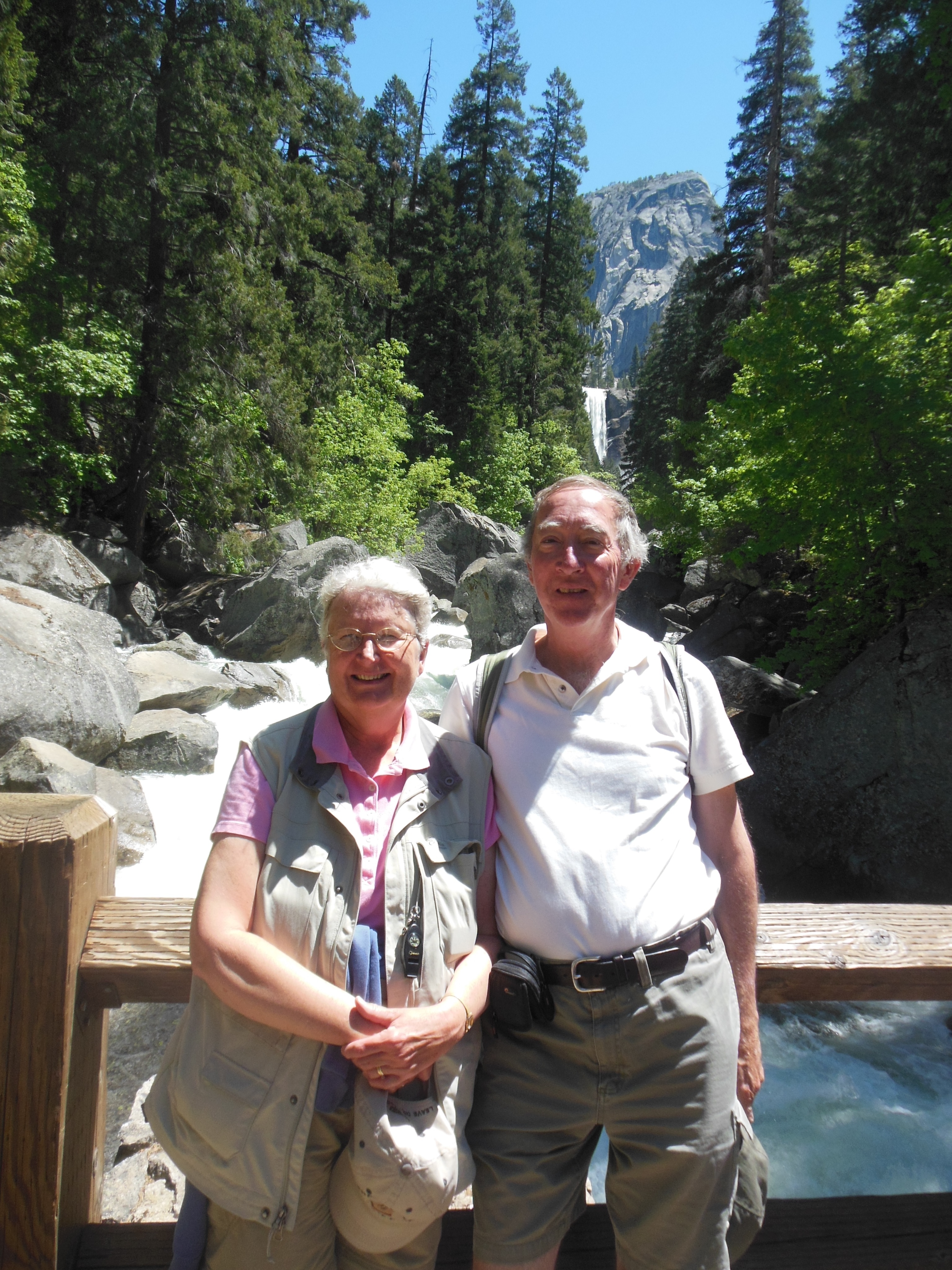
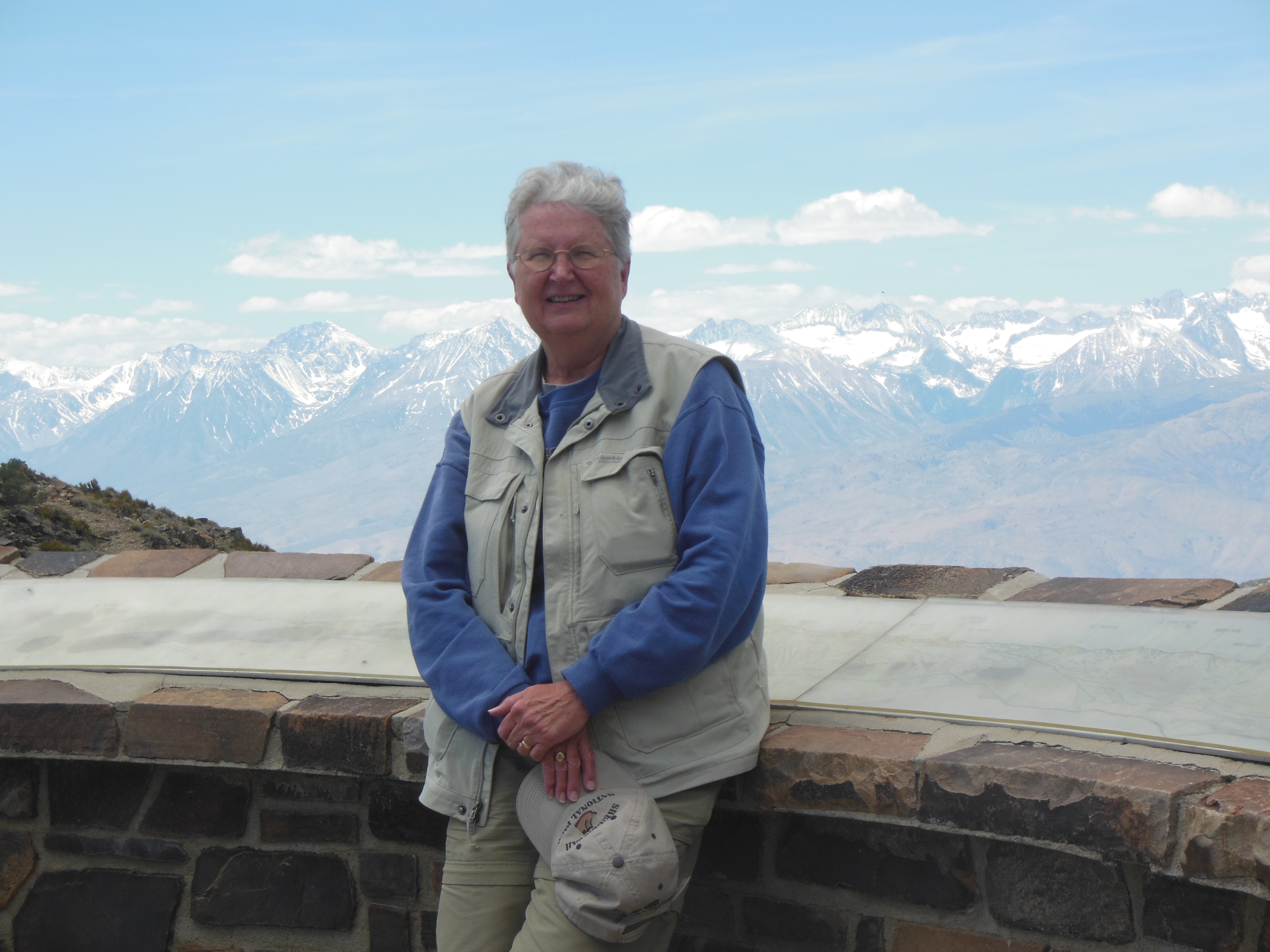
Ed Heimel and Chris Klejbuk
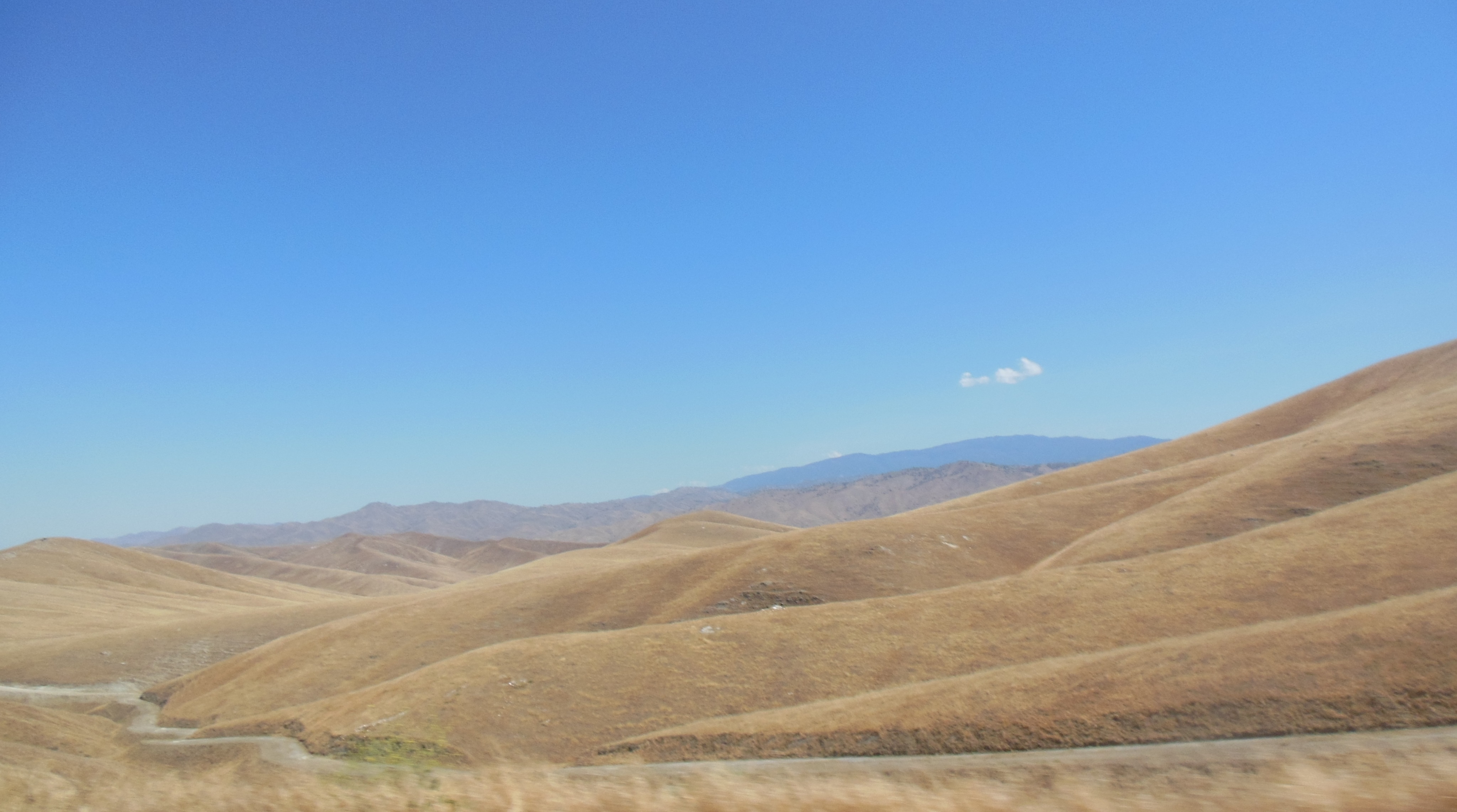
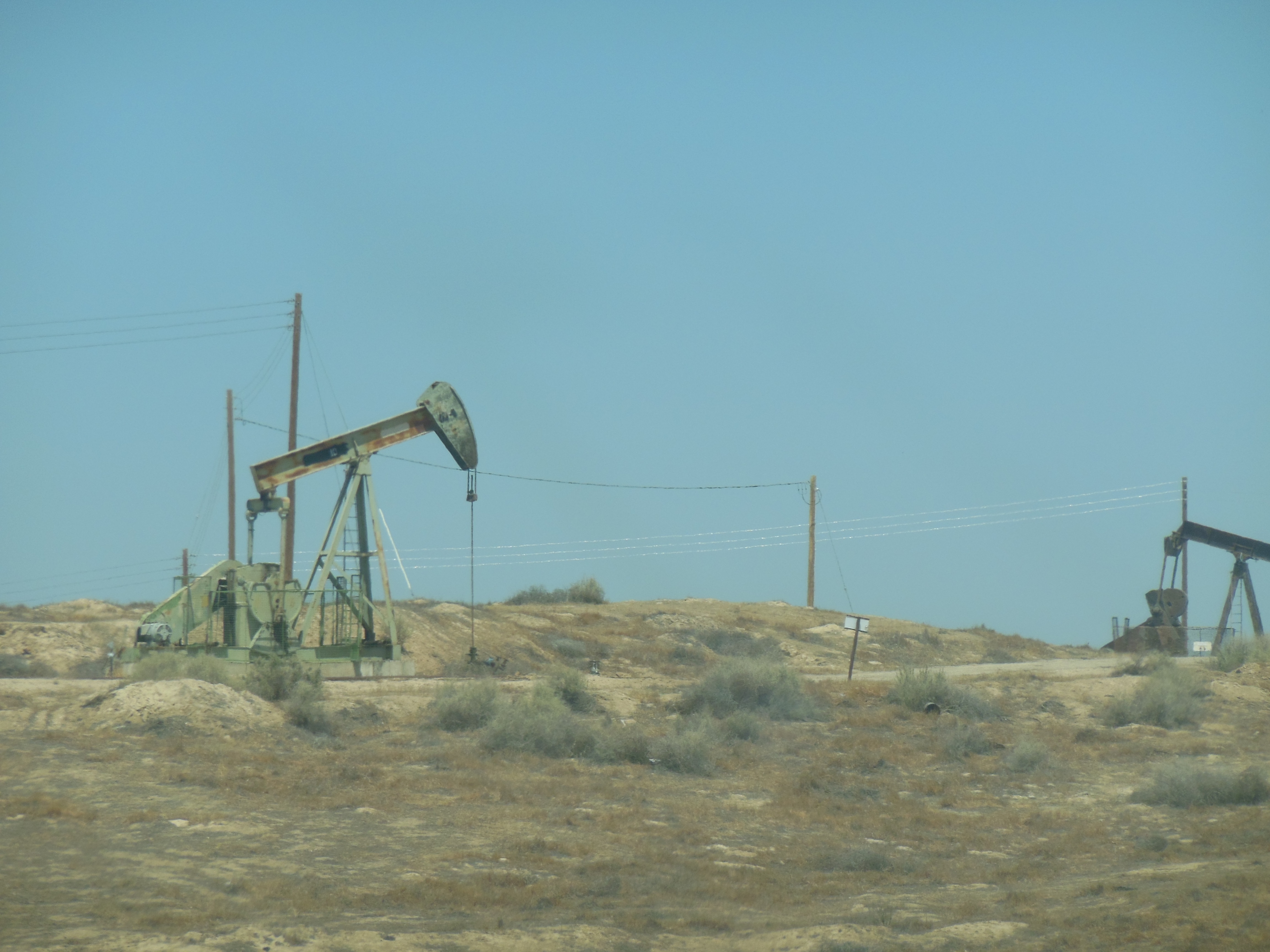
Sent. Friday from Fallon Utah.oasis of Nevada where military base means fast Internet


Recent Comments