
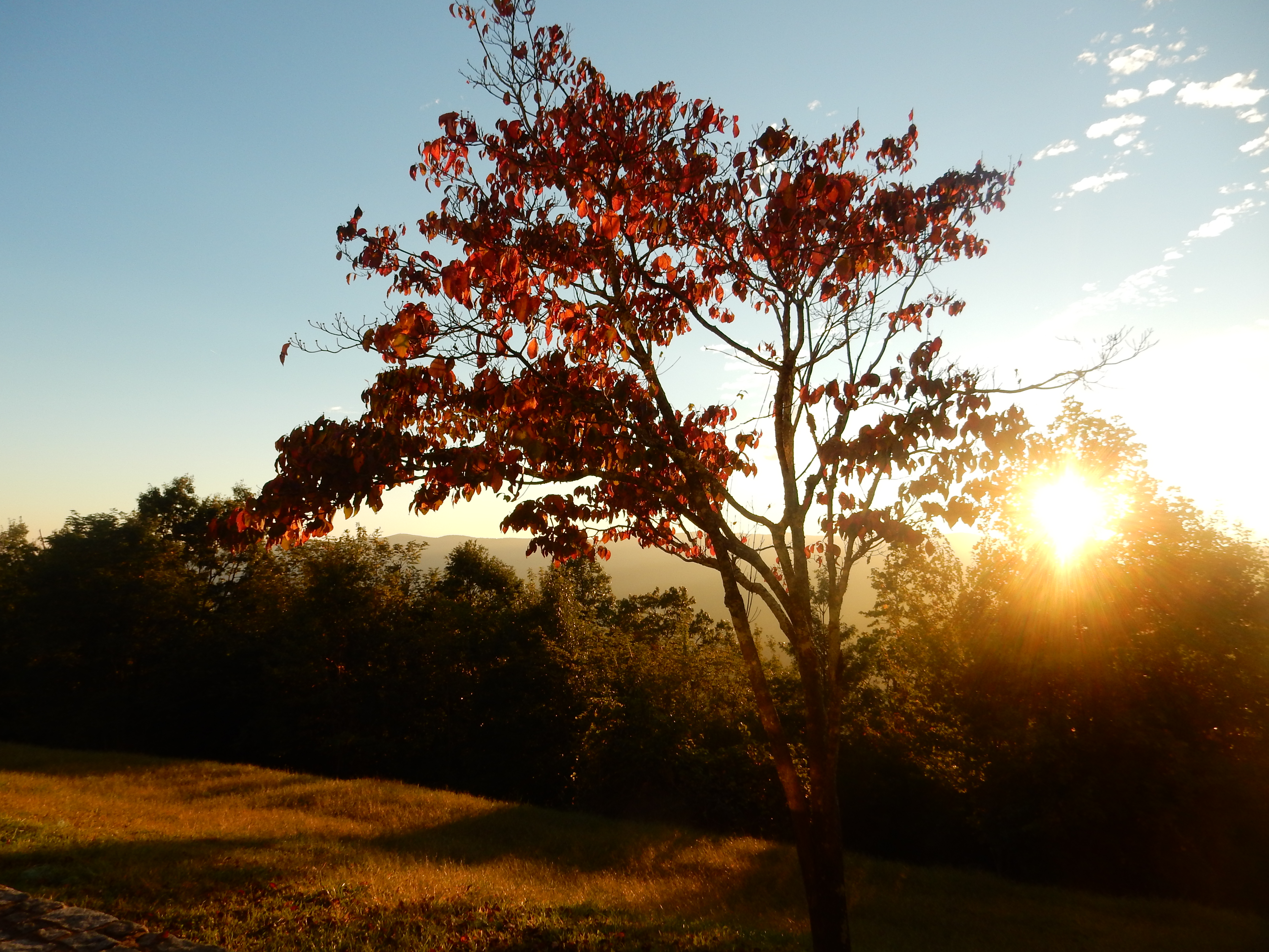
Gatlinburg TN Sunday Oct. 11
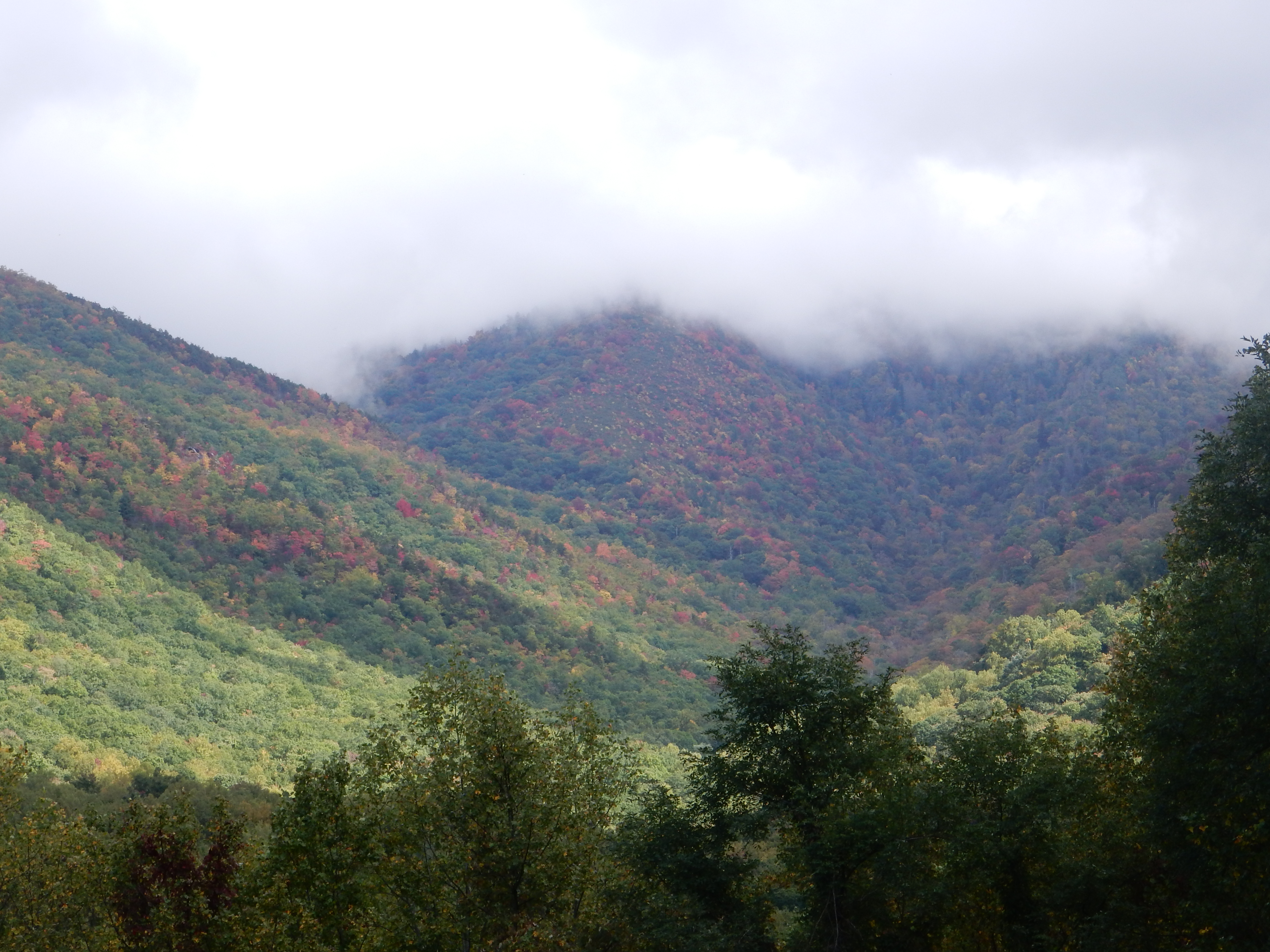
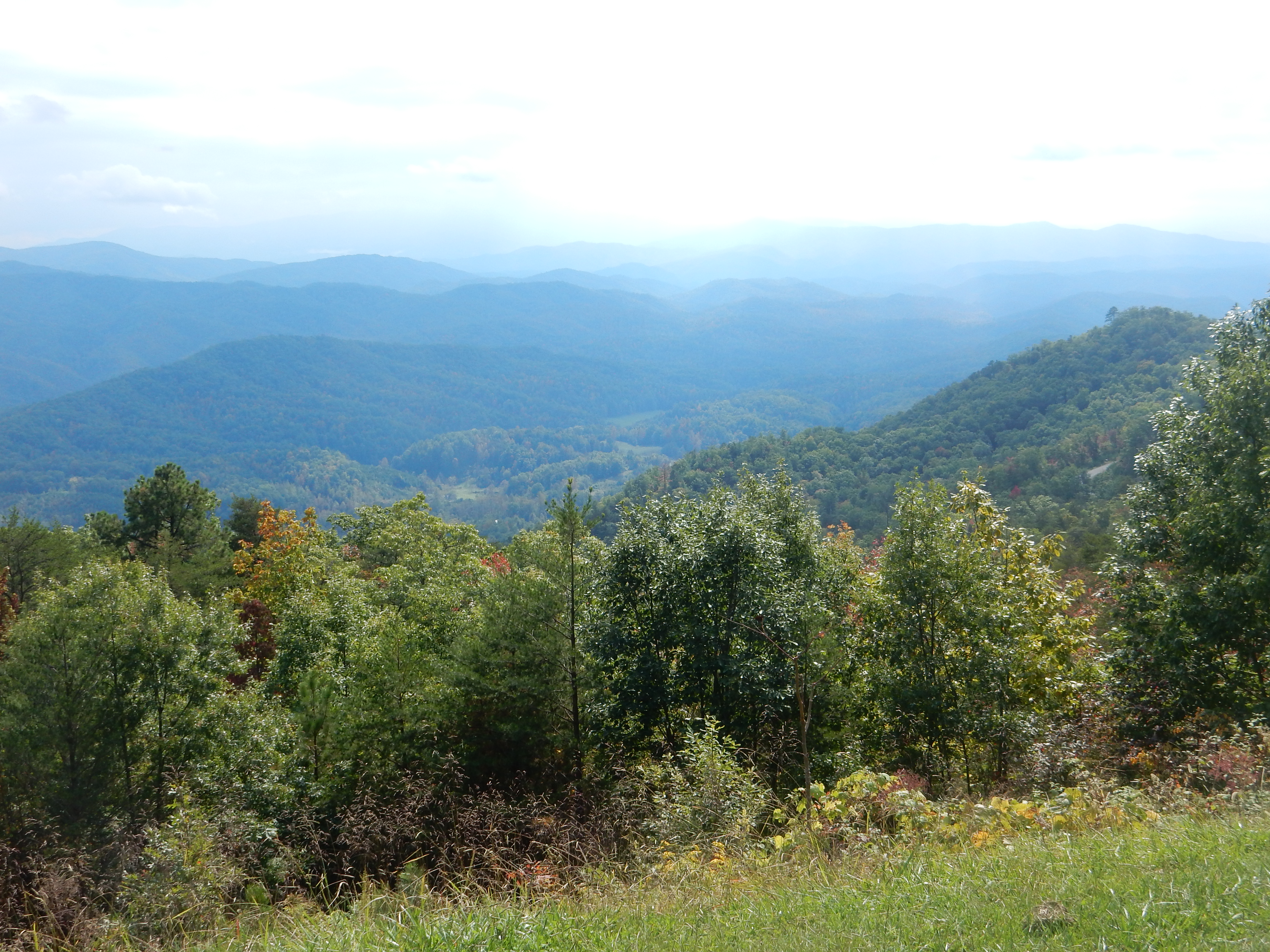
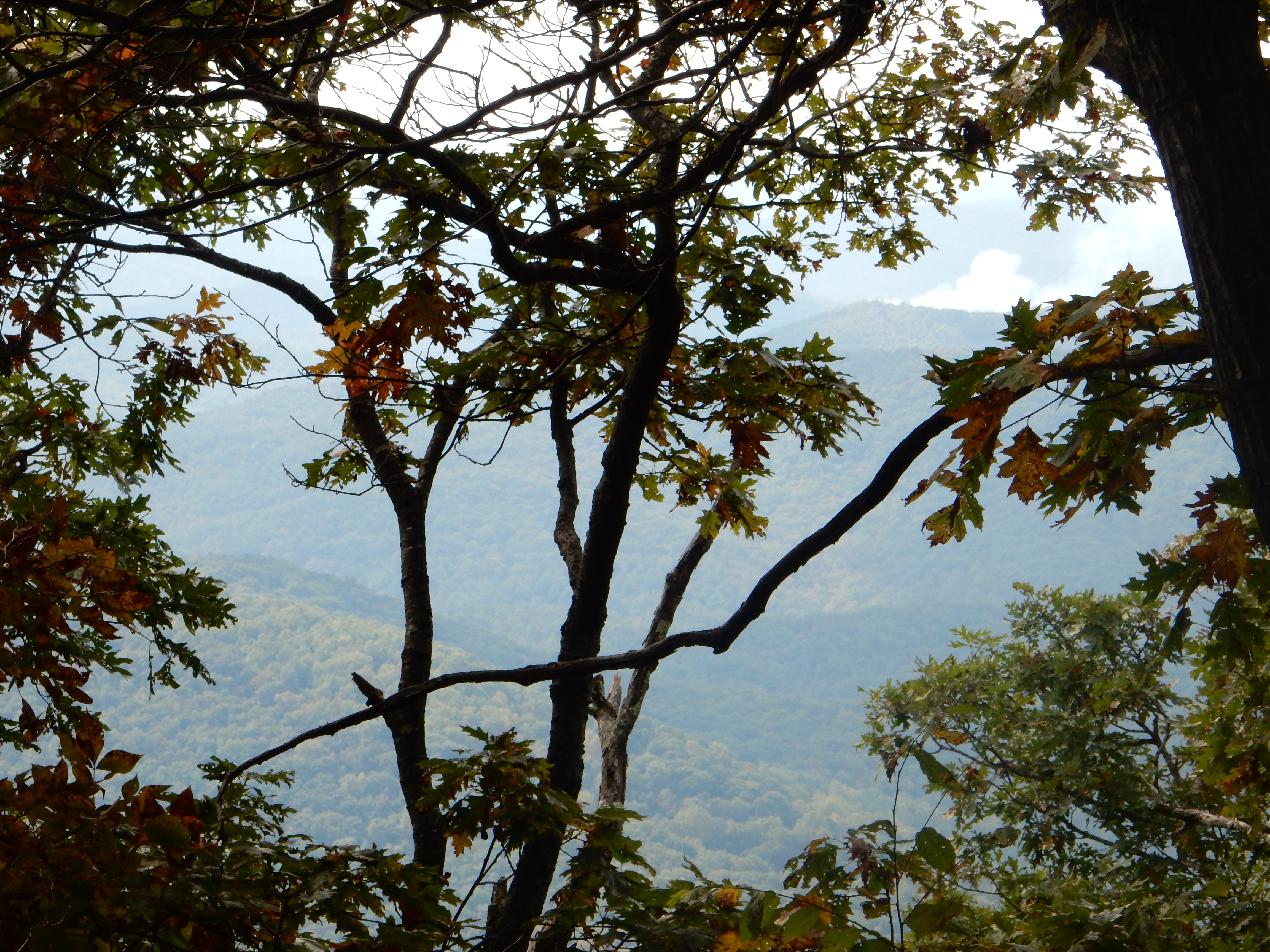
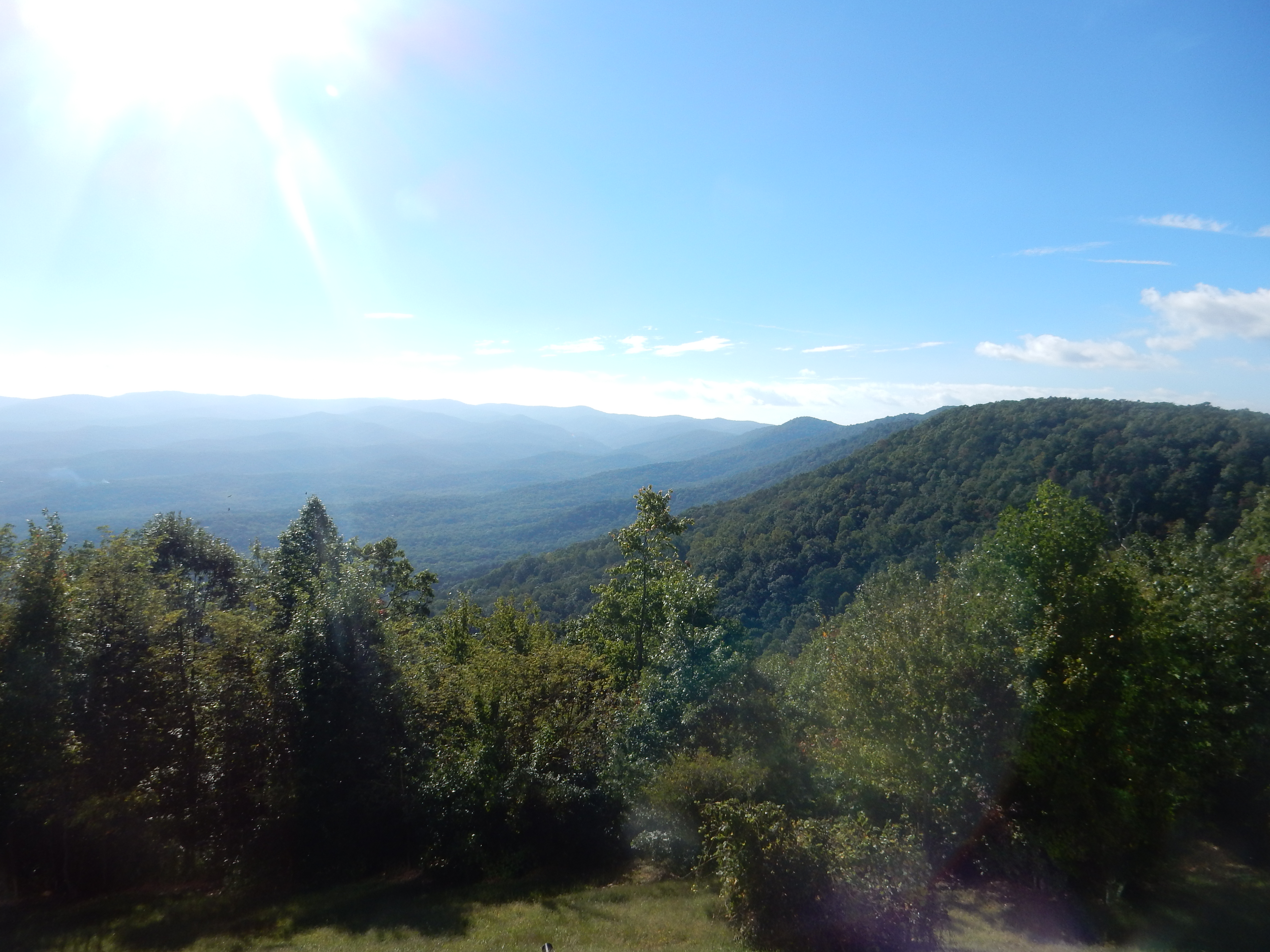
View from Newfound Gap Road Sunday in Great Smoky Mountain Park
“Whenever you travel in the Great Smoky Mountains, plan twice as much travel time as usual.” Amen! This is a very popular park. This is a popular time to visit. It was the weekend. The road network is limited so everyone has to drive the same roads. Of course, the roads are two lane and curvy. Then you have the vehicles we experienced today: A. bumper sticker on one-I brake for photo ops–it did. B. Bubba and the gang-a pick up with folding chairs in the bed of the truck so people can sit and view the countryside. C. On the one lane, one way road next to and after the sign that says “Do Not Stop. Use Pullovers. Be Courteous” is the vehicle that is constantly stopping-not even a view or wildlife in sight.

Blue heron in woods by Cades Cove in Great Smoky Mountain National Park
Foolish us. Our own notes said to avoid Cades Cove on weekends. But we thought by getting up early and out at sunrise we would avoid traffic problems. Well, we limited some problems but when you are out all day, you are bound to experience traffic. We spent two hours driving the loop road, wandering around Cades Cove, and hiking through the woods, finishing up before it really started to get popular. (P.S. A cove is a small valley surrounded by mountains)
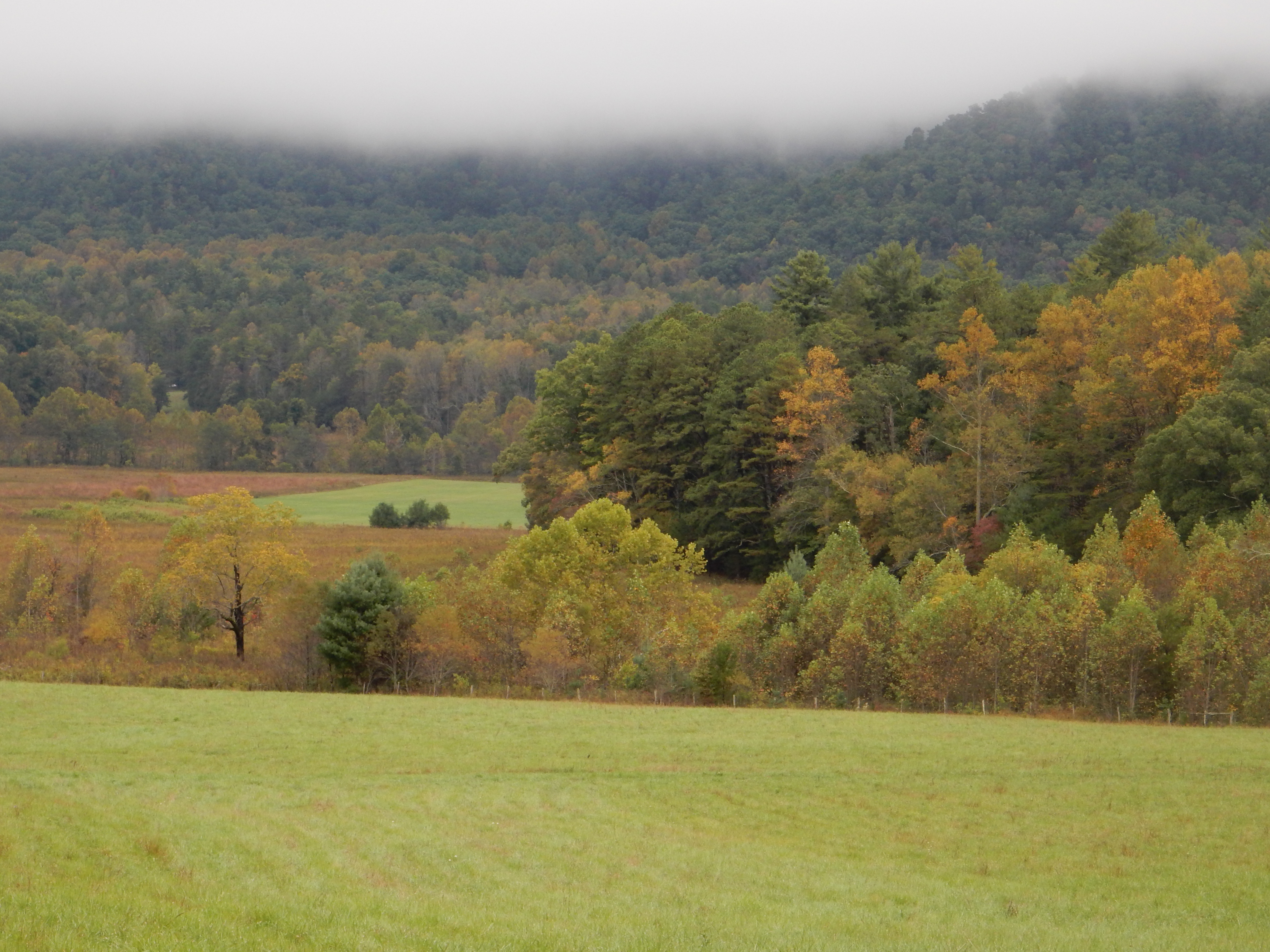
Part of Cades Cove area
Cades Cove is one of the areas in the Great Smoky Mountain National Park that showcases the life of the European Settlers that lived here pre-national park. Native Americans hunted in this area, but their primary settlements were lower down along the rivers and valleys. In the 1820s European settlement began as Scots-Irish people from surrounding areas started to move in. The mountains are steep with few natural gaps and trails so settlement came later than surrounding areas. Subsistence farming was the main occupation.
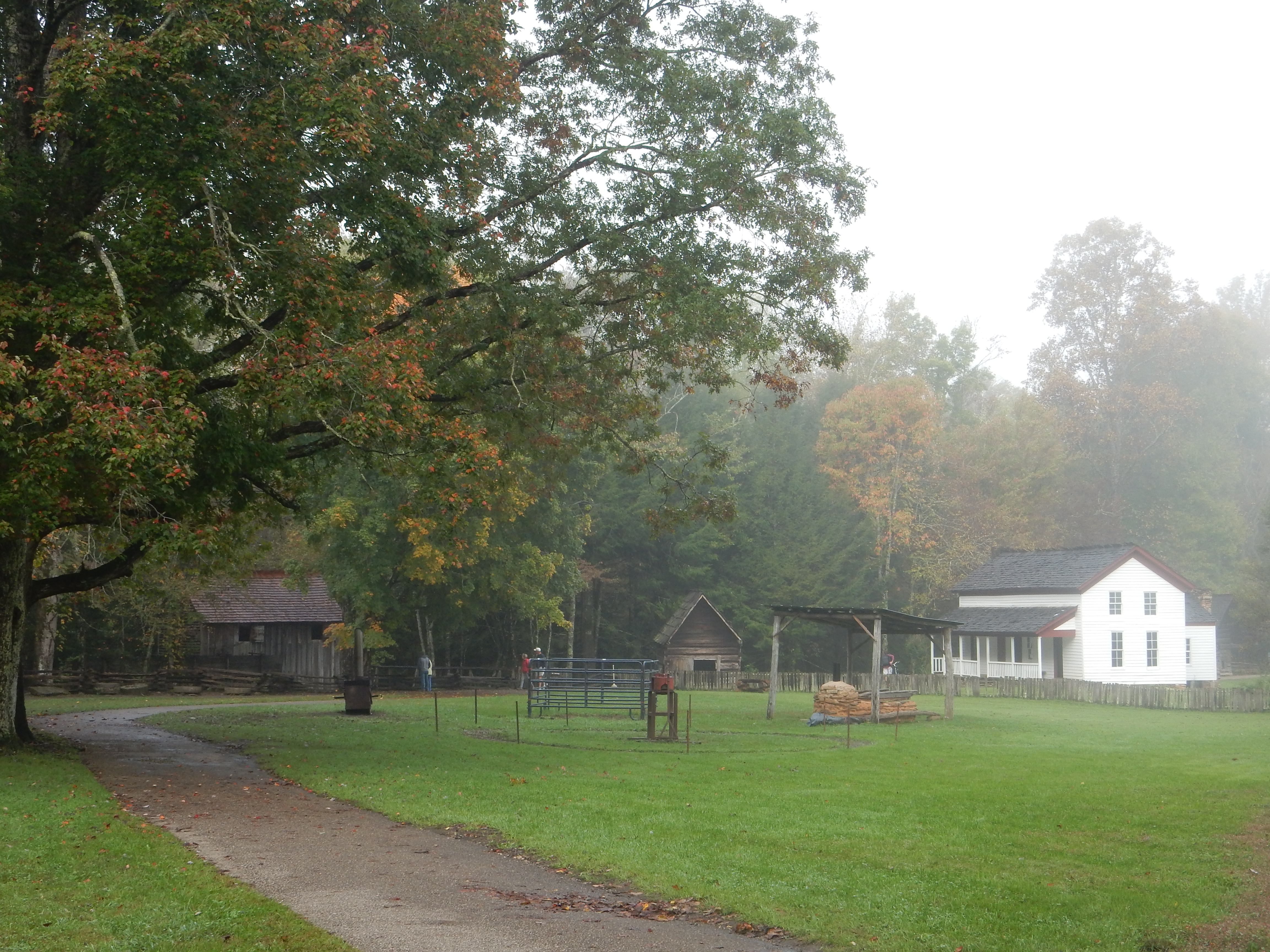
Cades Cove
The current Cades Cove area highlights how the people lived. The population seesawed, increasing to 865 by 1850 and plummeting down to 275 in 1860 and back up to 700 in 1900. Cades Cover offered better soil for growing crops and grassy areas to fatten cattle. But the soil became worn out, and with larger families, each succeeding generation had less land to farm. More people moved out but the area still remained viable. When the national park was formed (we will discuss that further in later posts) people were still living here and were bought out or forced to move.
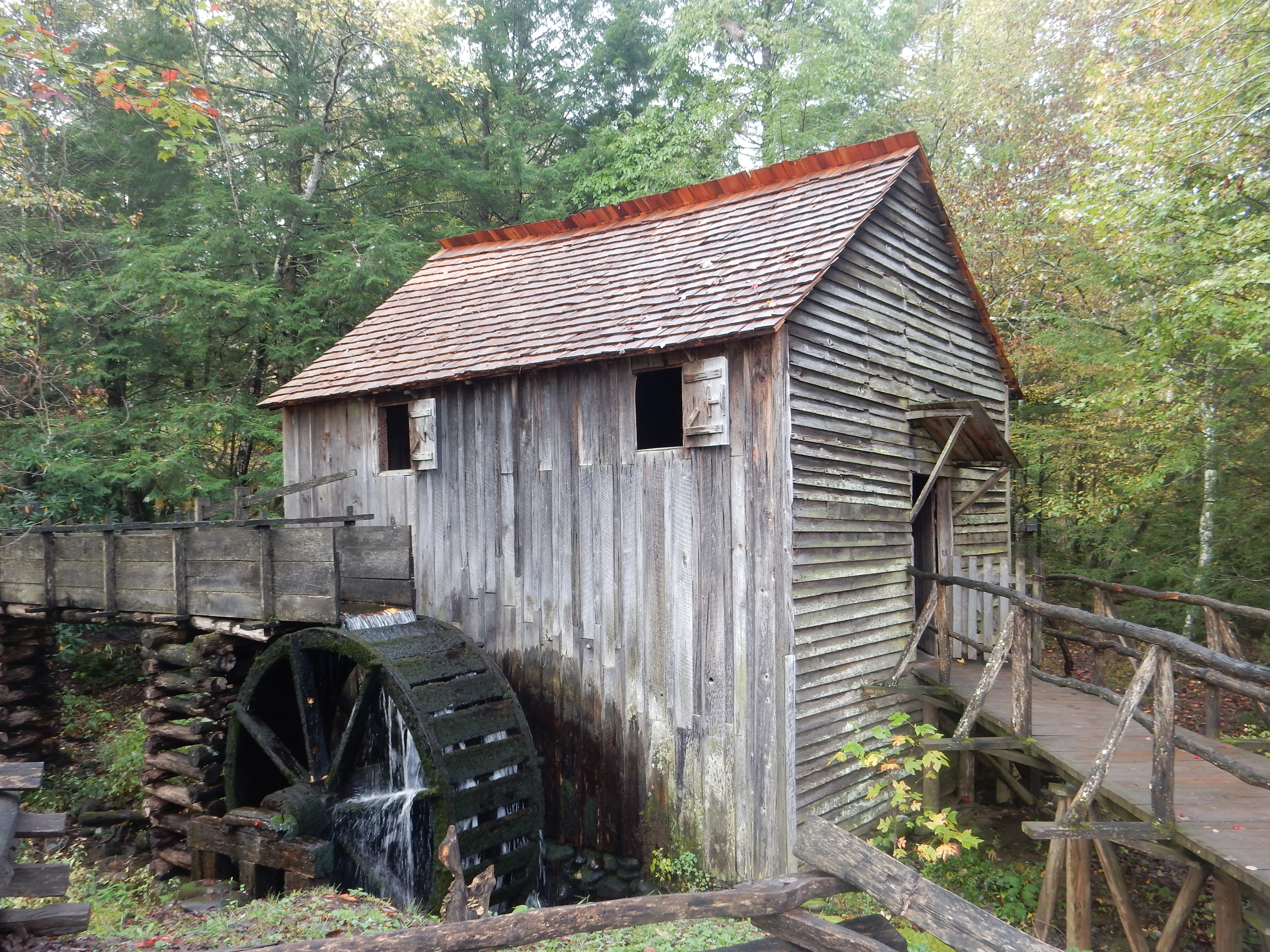
Gristmill at Cades Cove

Cades Cove
The buildings in Cades Cove include homes, a grist mill, blacksmith shop, barns, smokehouse, etc. There are three churches; the Methodist, Missionary Baptist, and Primitive Baptist. The Baptist churches split around 1840 due to a major disagreement over the literalness of the Bible and new “innovations of the day”. In the same vein, the Civil War caused deep divisions. The mountainous areas of Tennessee, North and South Carolina had Union sympathizers and deep family and neighbor conflicts occurred.

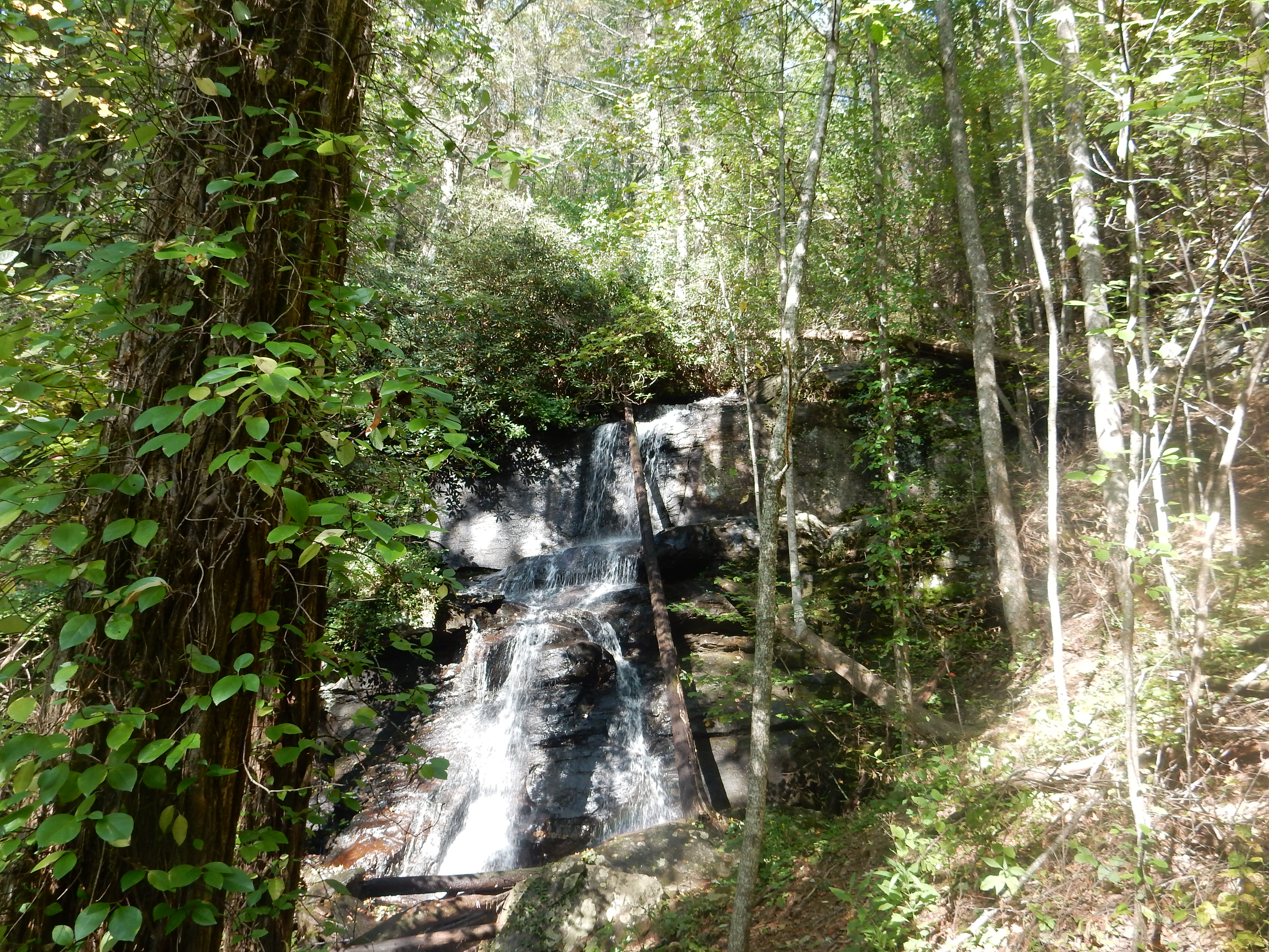
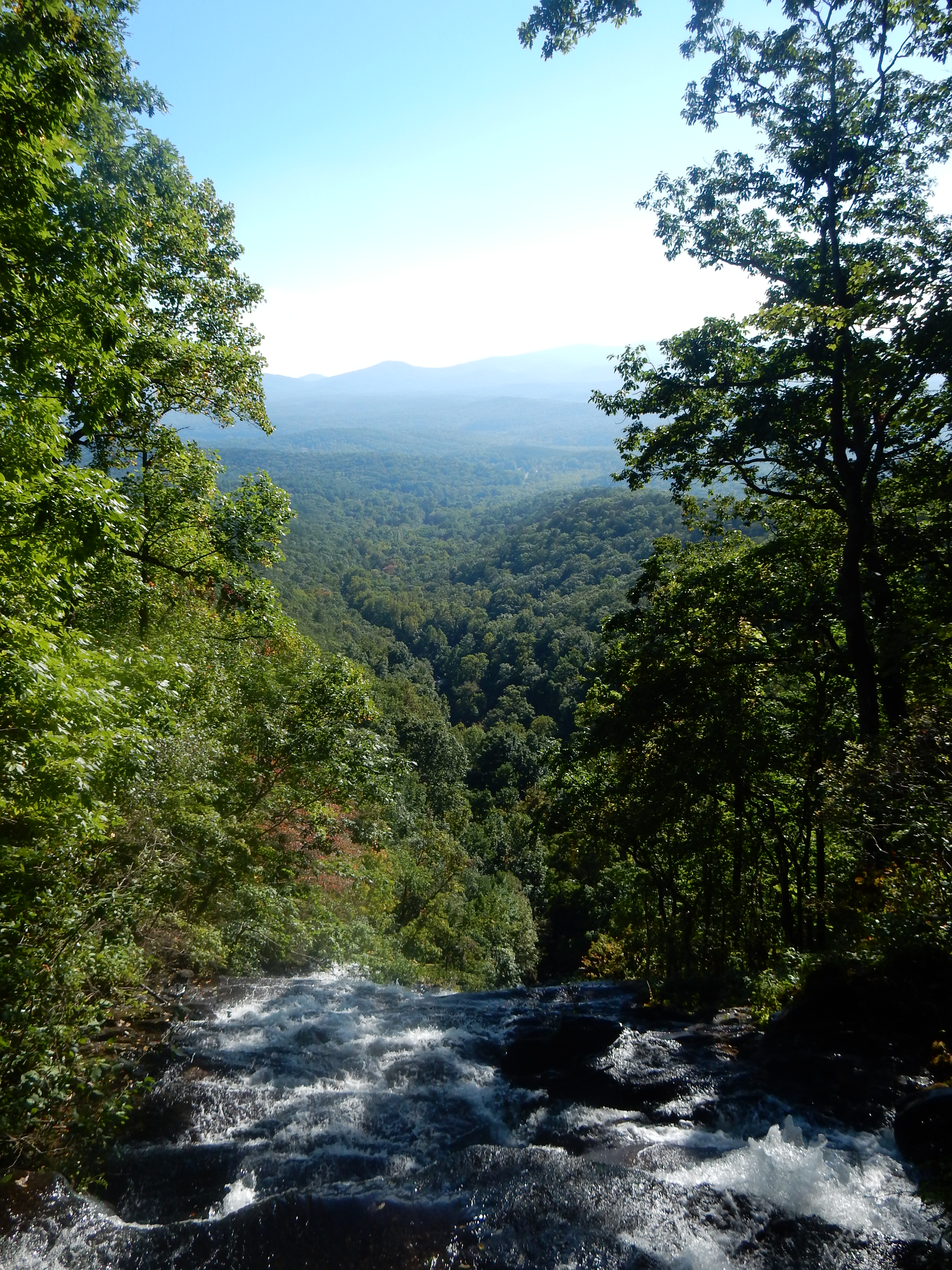
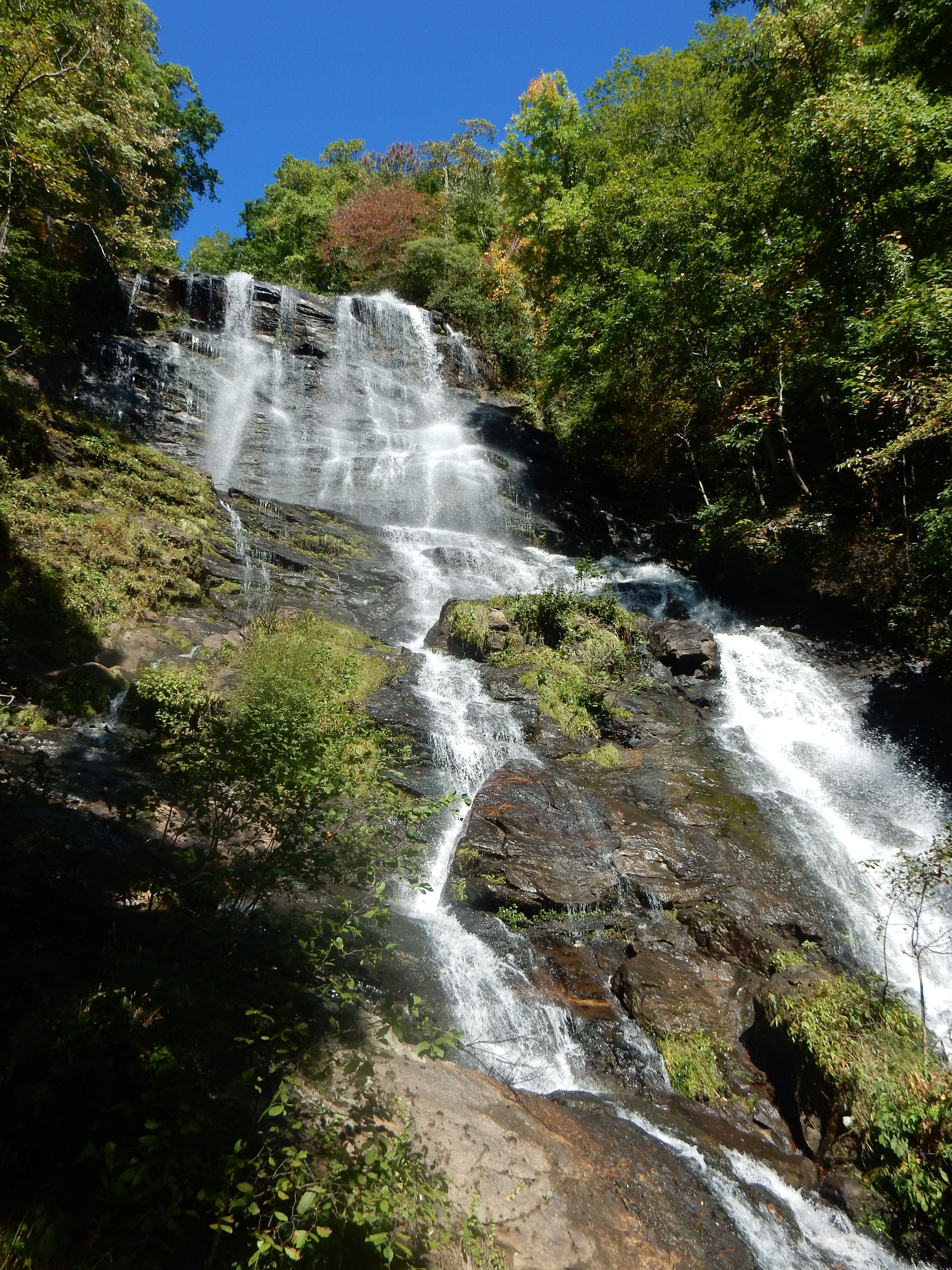
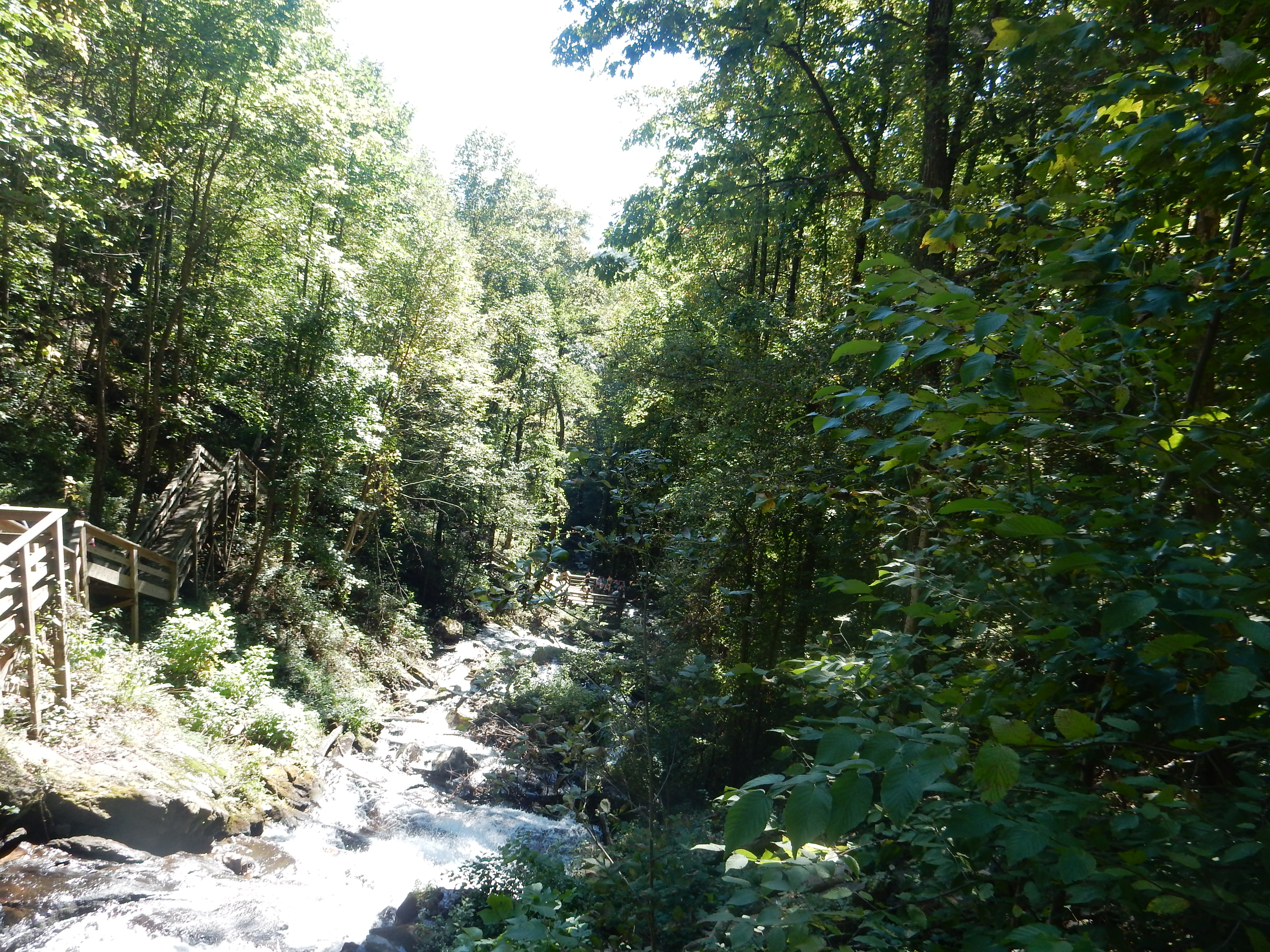
Laurel Falls in Great Smoky Mountains National Park
Today (Sunday) started out cloudy, with the rain that began Friday night continuing through all day Saturday. We only went on a few hikes Saturday. One was to Laurel Falls, an 80 foot waterfall that had high water volume due to the rain. The trail is one of the few paved trails but is steep and it took us over an hour to hike out and back the 2.6 mile trip. The Great Smoky Mountains usually receive 55 inches of rain per year. This makes for slick rocks and vegetation on the trails, but also translates into abundant vegetation. Mountain Laurel and Rhododendron are seen on most trails.
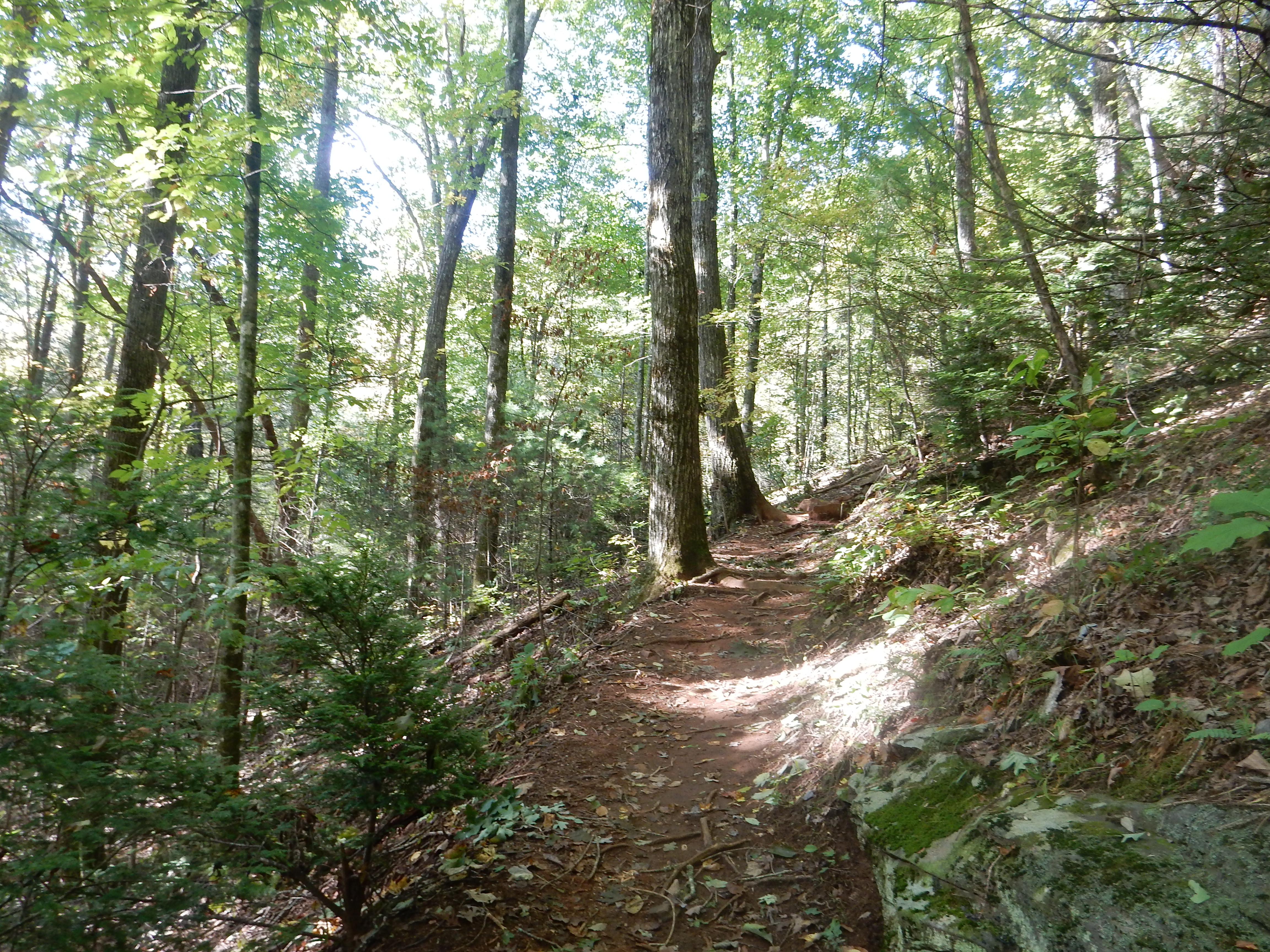
The Park Service also promotes trails called “Quiet Walkways”. These are trails that don’t go to any particular destination and you can hike along them and then return back whenever you like. These trails are designed just to let you get out and experience the woods. This park is actually an International Biosphere Reserve. The park literature states: “No place this size in a temperate climate can match Great Smoky Mountains National Park’s variety of plant and animal species.” Whew! You can be sure that when we are out hiking, we are not able to identify more than a few of the 1,500 flowering plants here.
After climbing up this hill, …

..we found this old cemetery
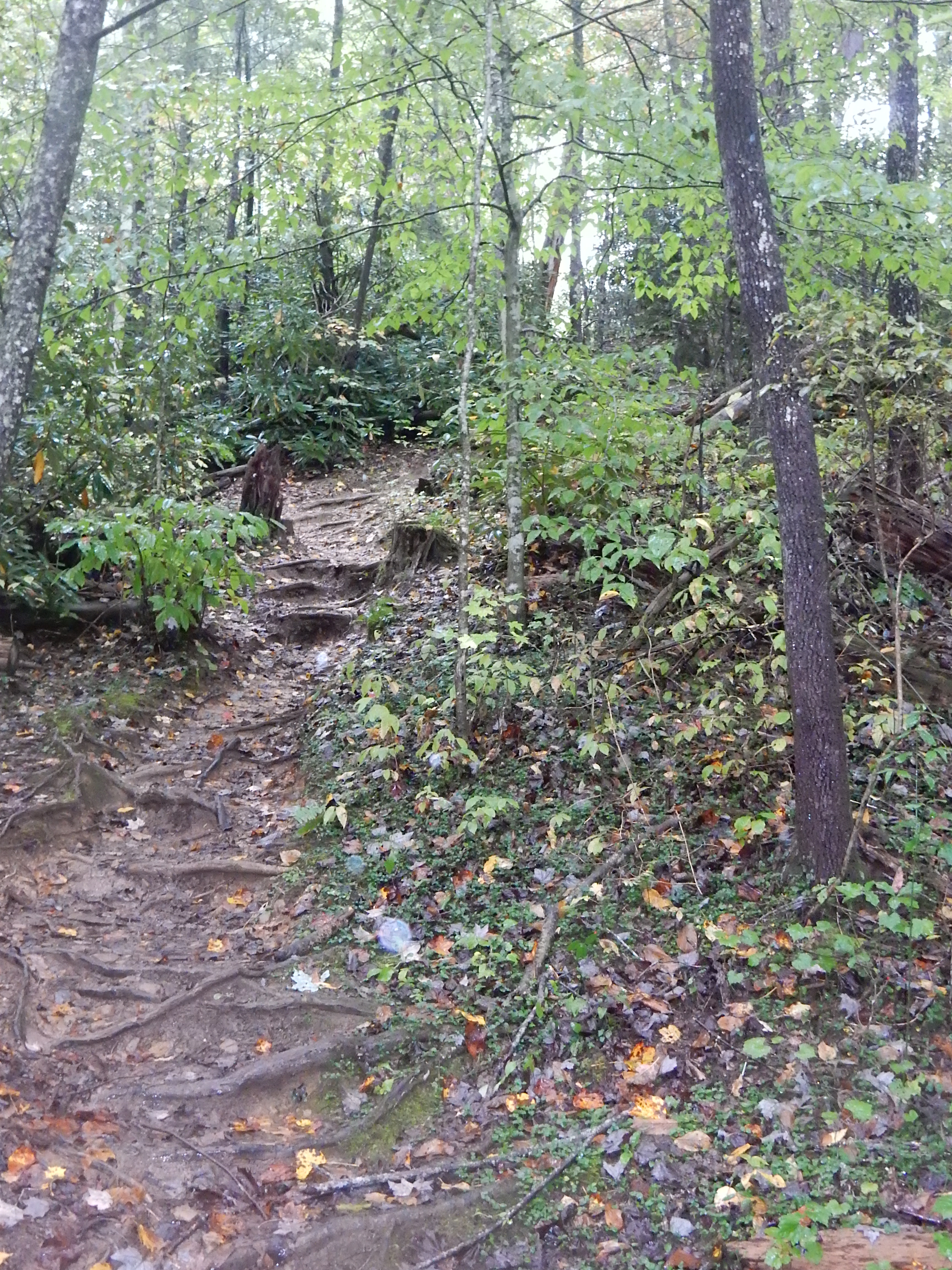
On one of the quiet walkways Saturday we scampered (well, sort of, for two people in their 60s) up a steep hillside path and were surprised to find an old cemetery hidden in the woods. In most cases, the grave markers were simply slabs of a shale like stone stuck in the ground. Only two or three had lettering that was still visible. None of the literature we read had mentioned this place.

Along the West Prong of the Little Pigeon River
Another quiet walkway on Sunday led to a valley along side the West Prong of the Little Pigeon River. This area had also been the site of a small gathering of settlers until the park came along. A few stone fireplaces were still standing. Since the park was established in 1934, the vegetation has sprung up and one is hard pressed to visualize how the homesteads and farms would have looked in what now seems to be a floodplain forest.
On the Cove Hardwood trail today, we did see relatively fresh bear scat but pushed on anyway. Luckily there was a family of four and one dog in front of us on the trail. We pushed ourselves to keep them in sight as a bear prevention device. This was a challenge, the hike was steep and slippery with rocks and roots just looking for a chance to trip us.

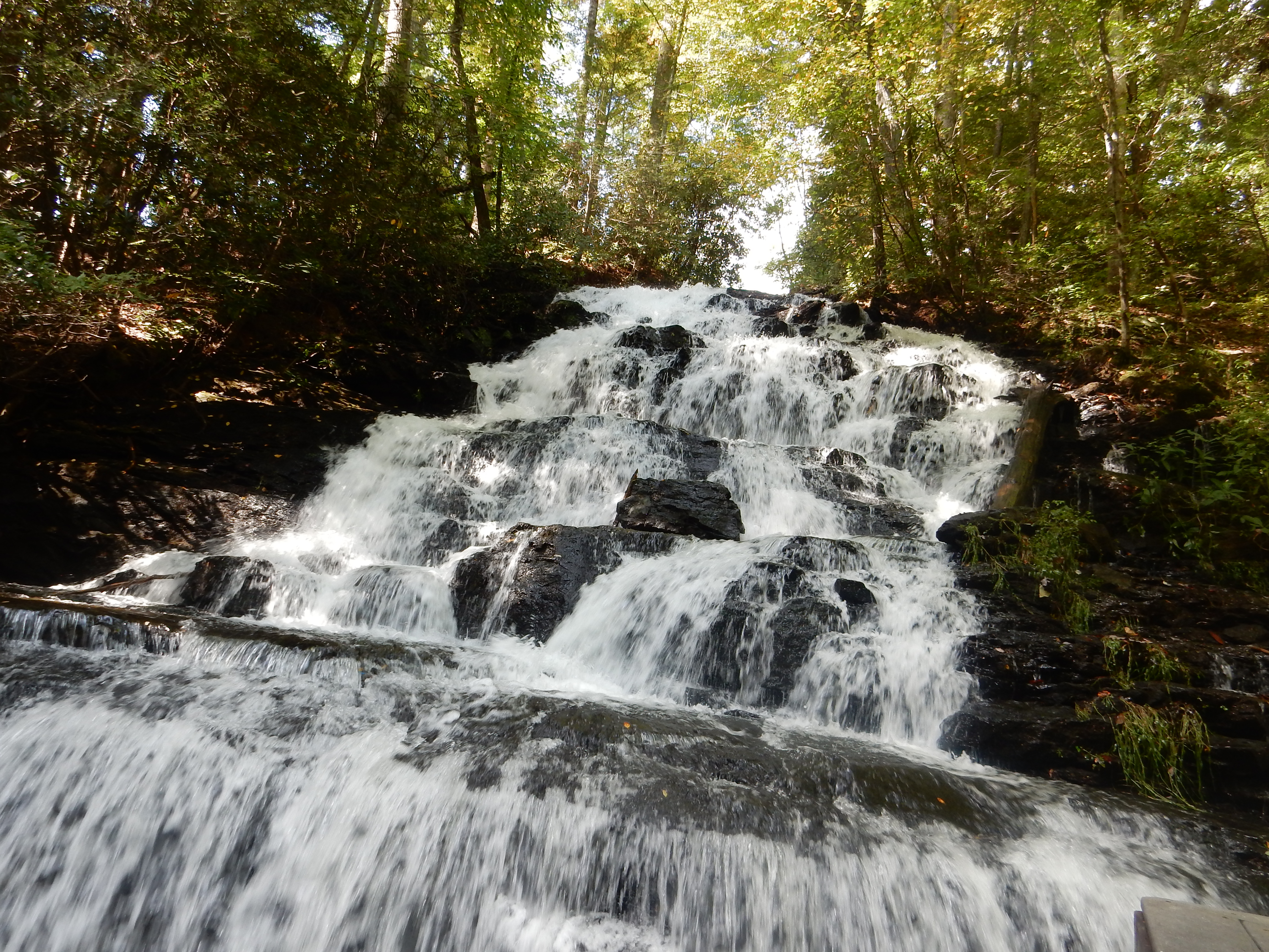
Just a small falls, Cataract Falls, near the visitor center at Great Smoky National Park
Meals the last two days have been in our unit. Frozen beef patties for dinner on both nights; cooking them created a smoke odor which managed to permeate the rooms with the smell of burnt meat.
Ed and Chris 9:30 PM


Recent Comments