
Two Harbors, MN June 28
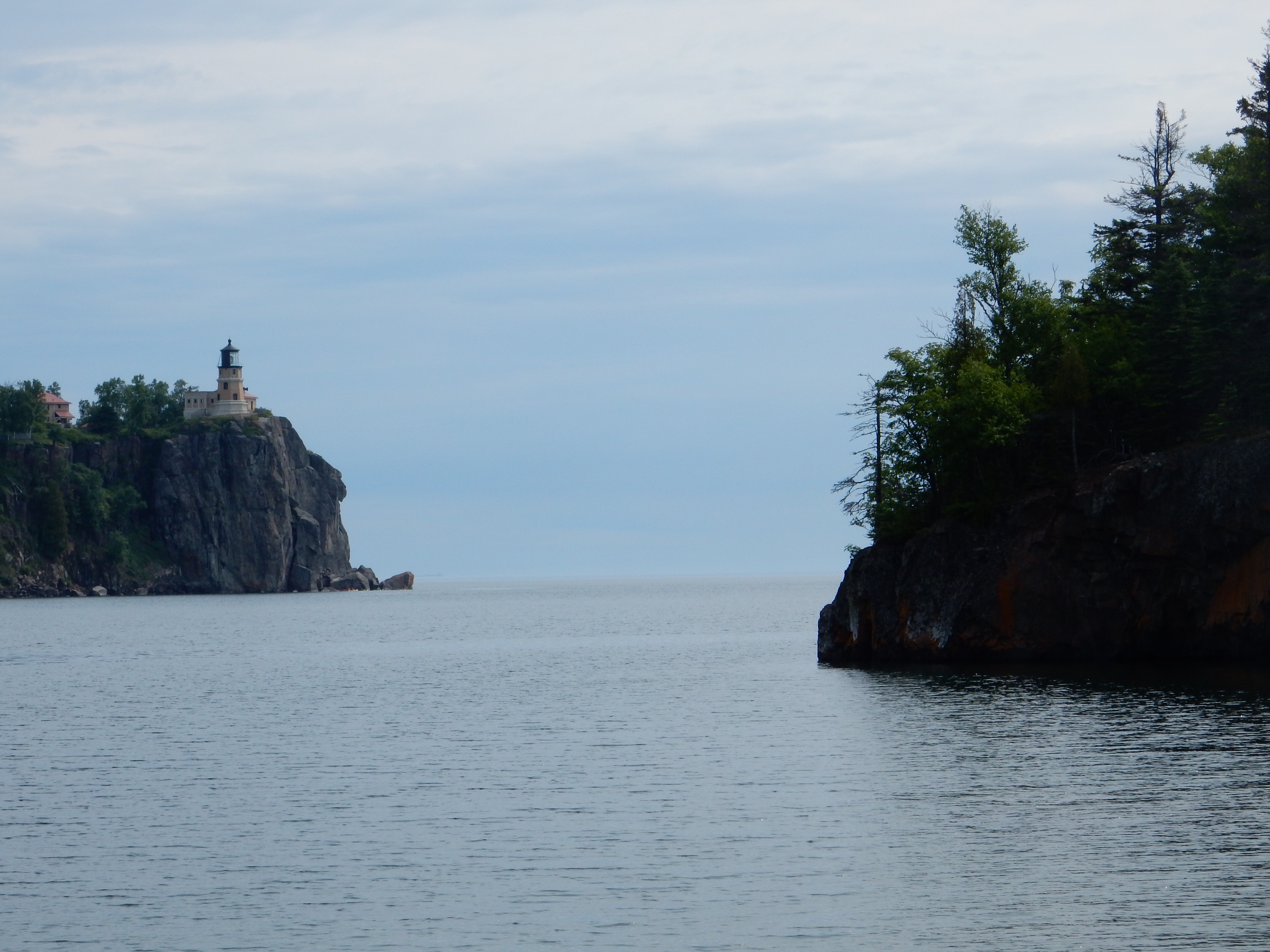
Split Rock Lighthouse
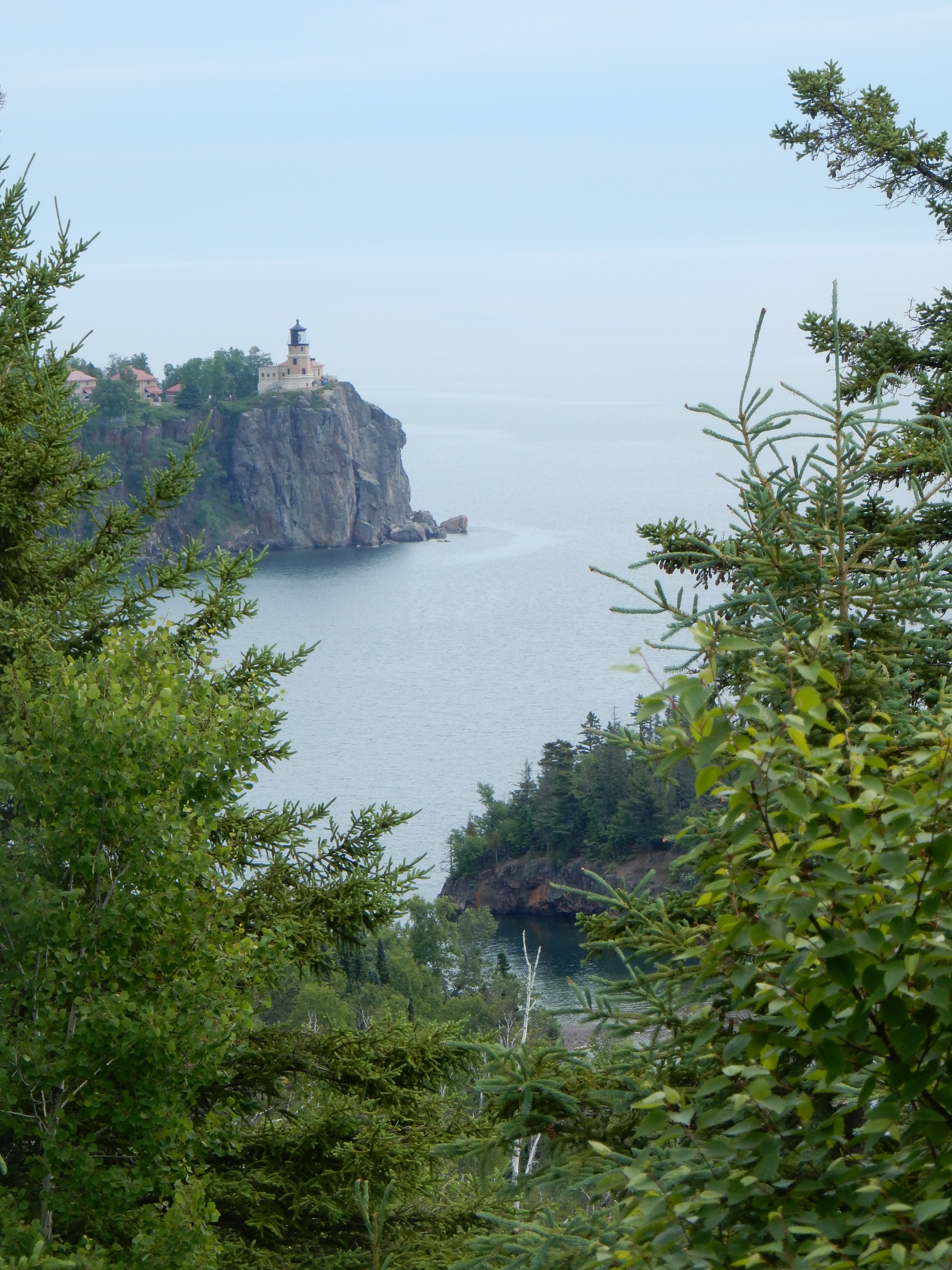
Split Rock Lighthouse from Days Hill
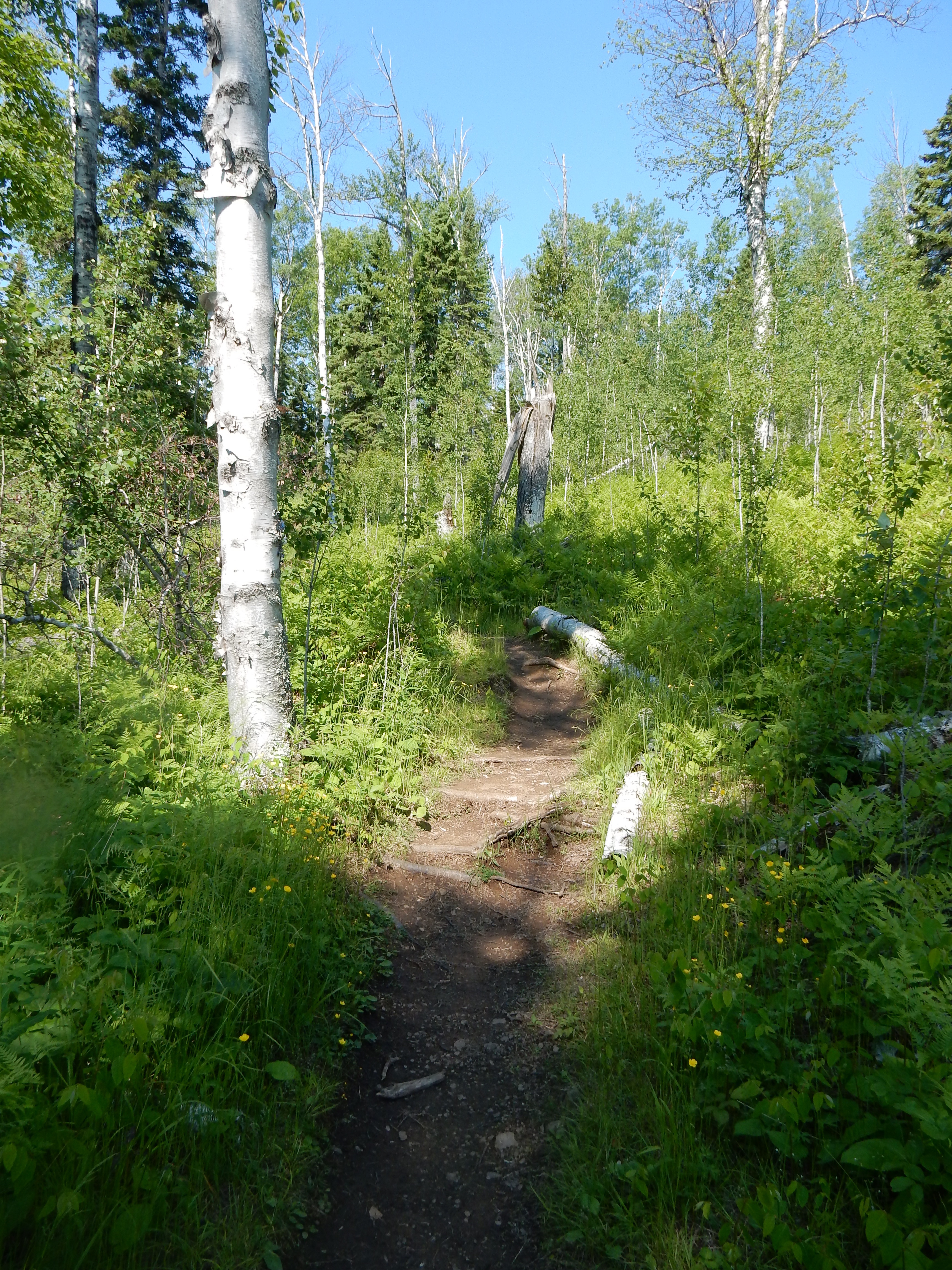
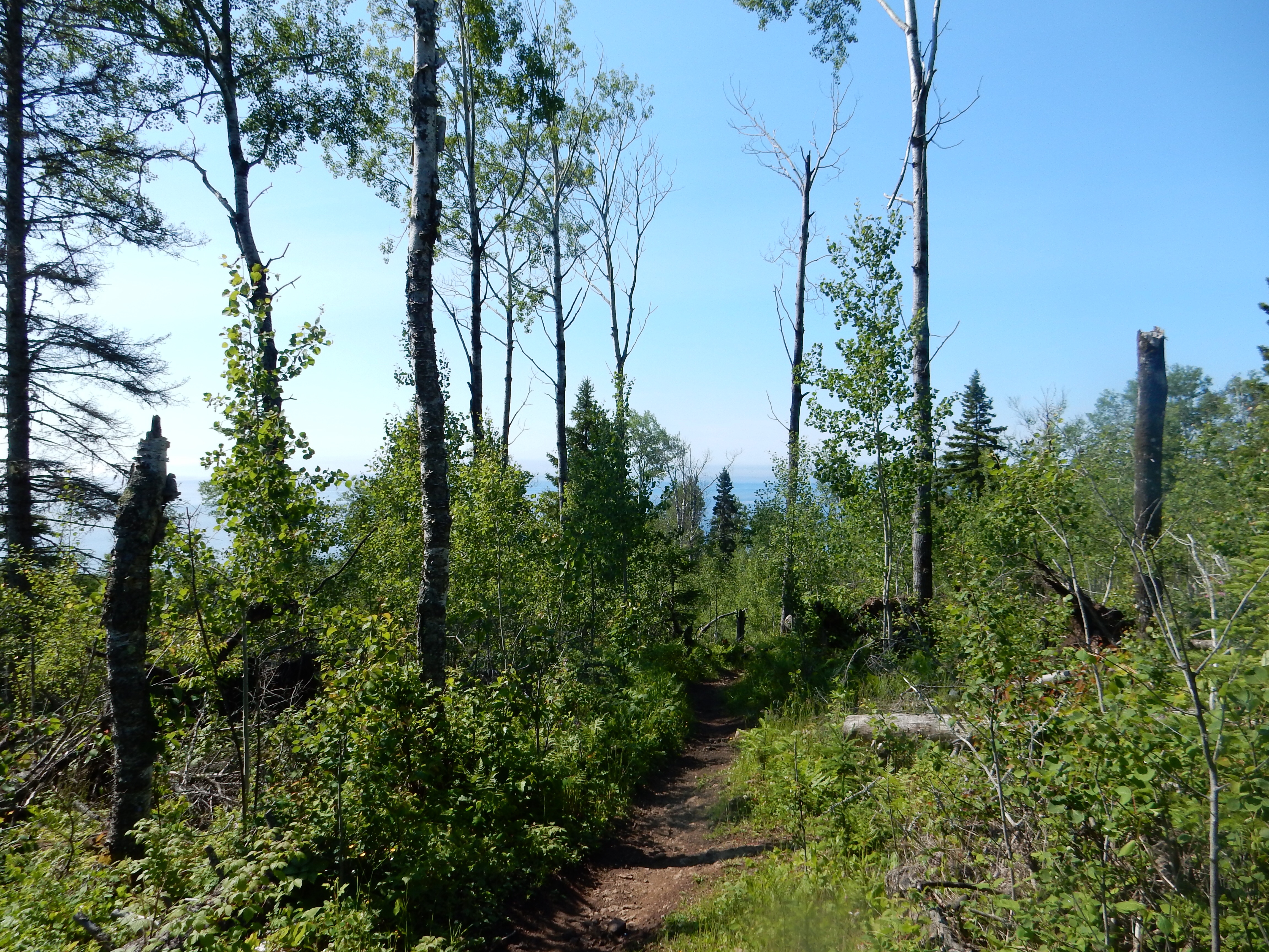
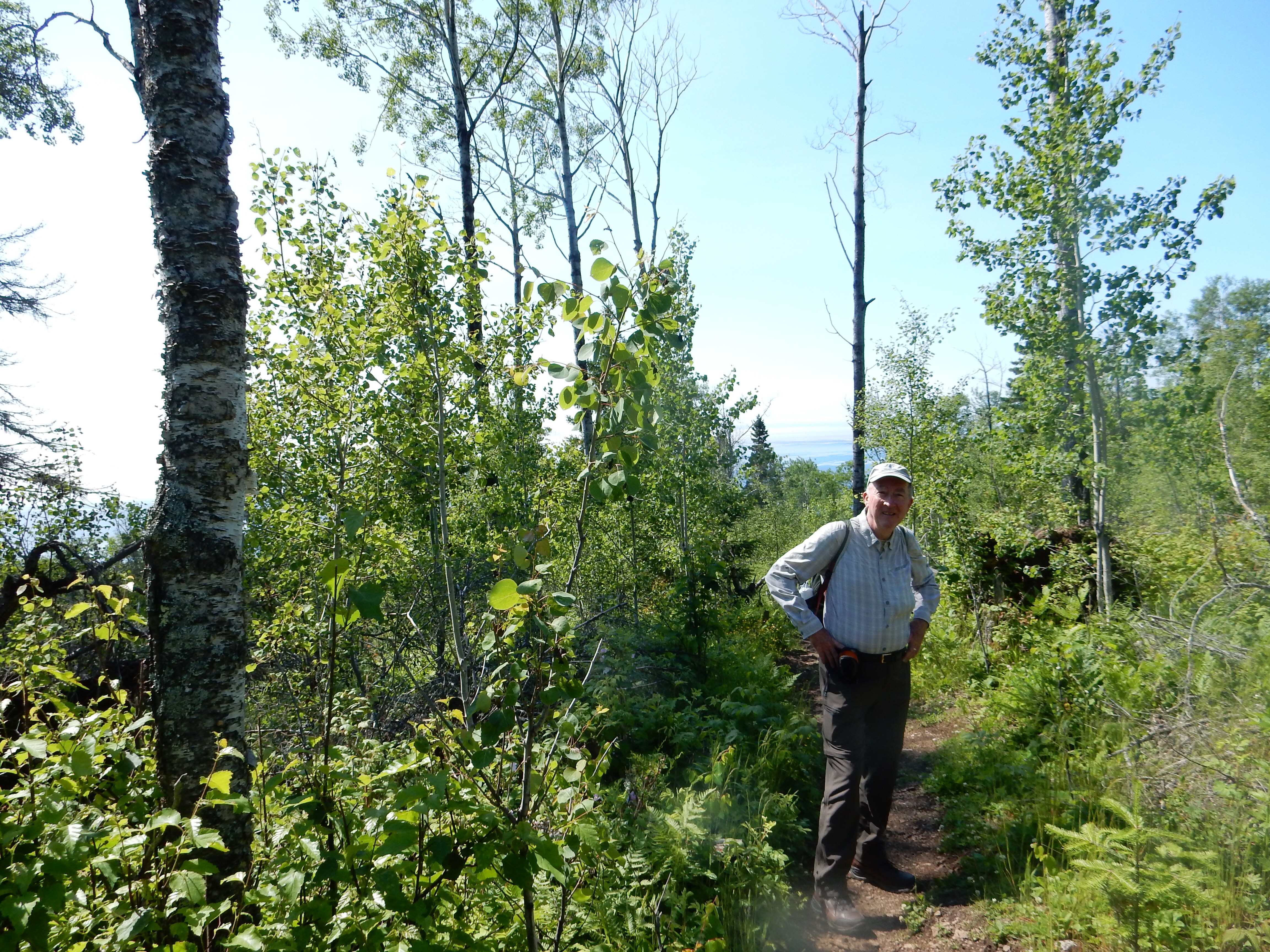
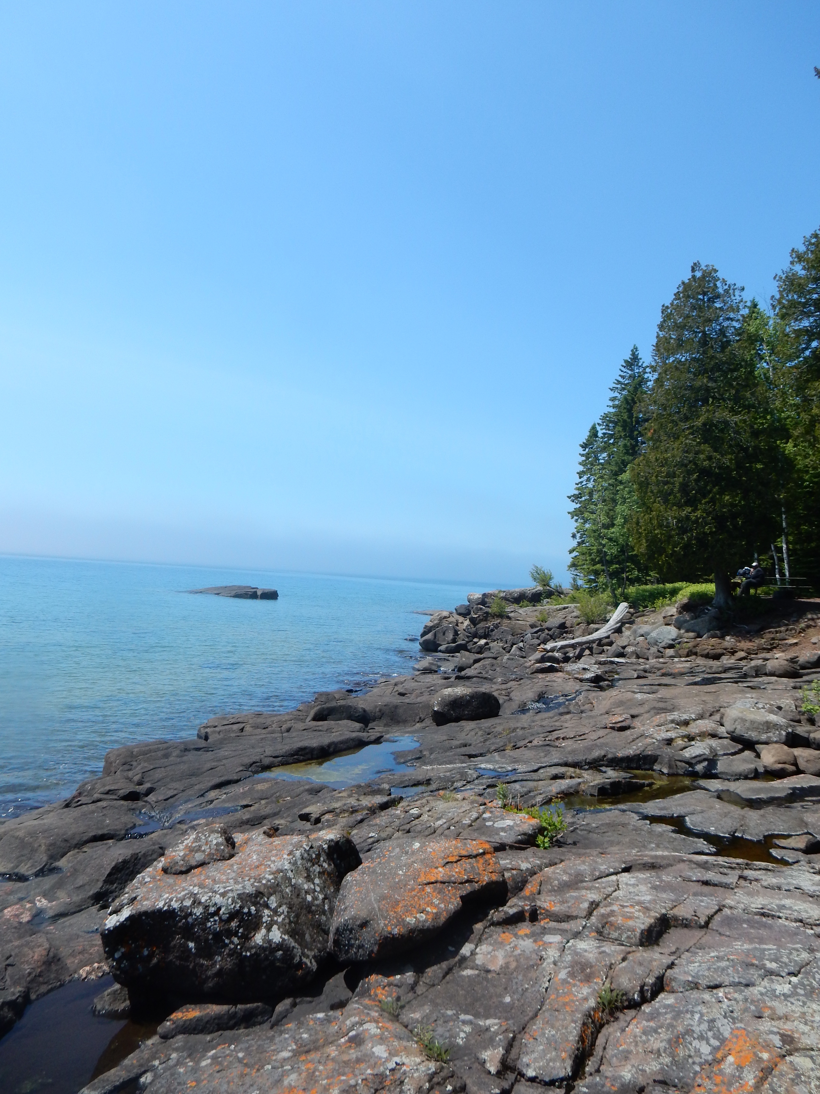
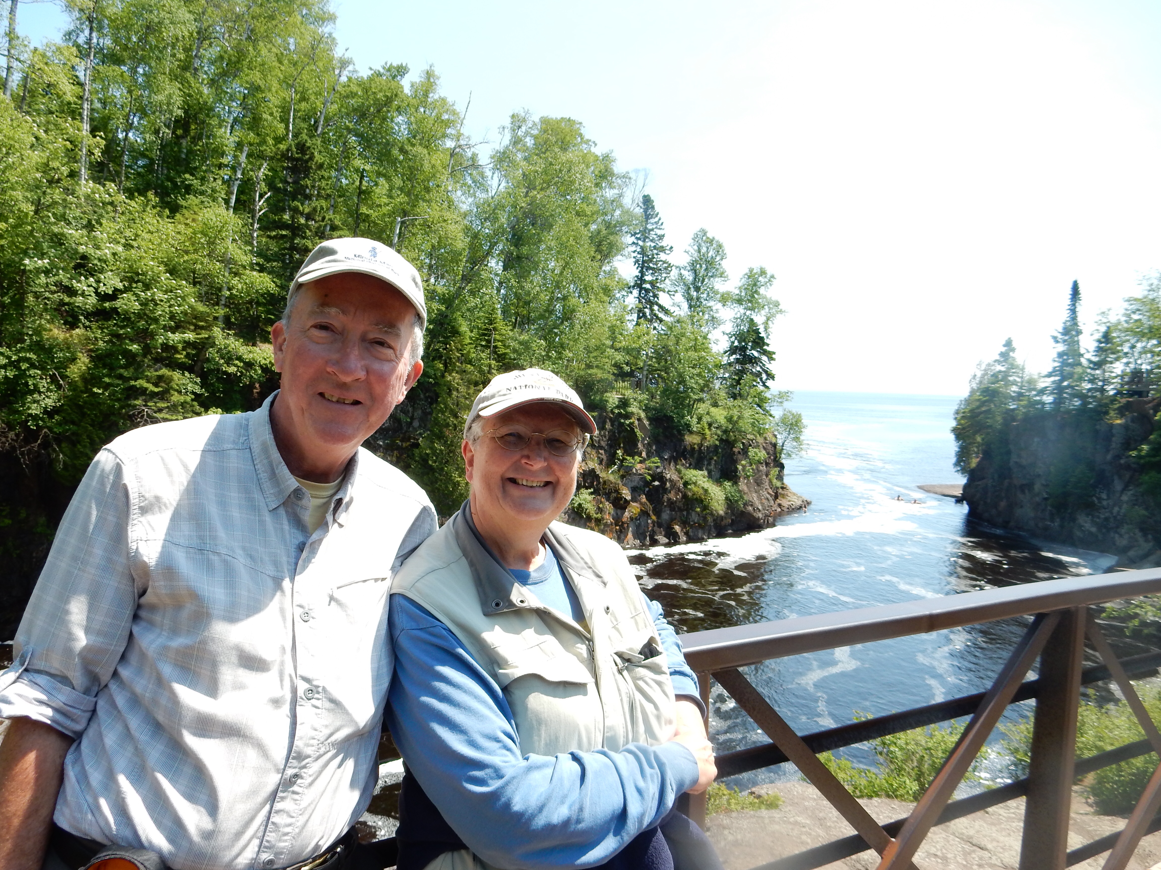
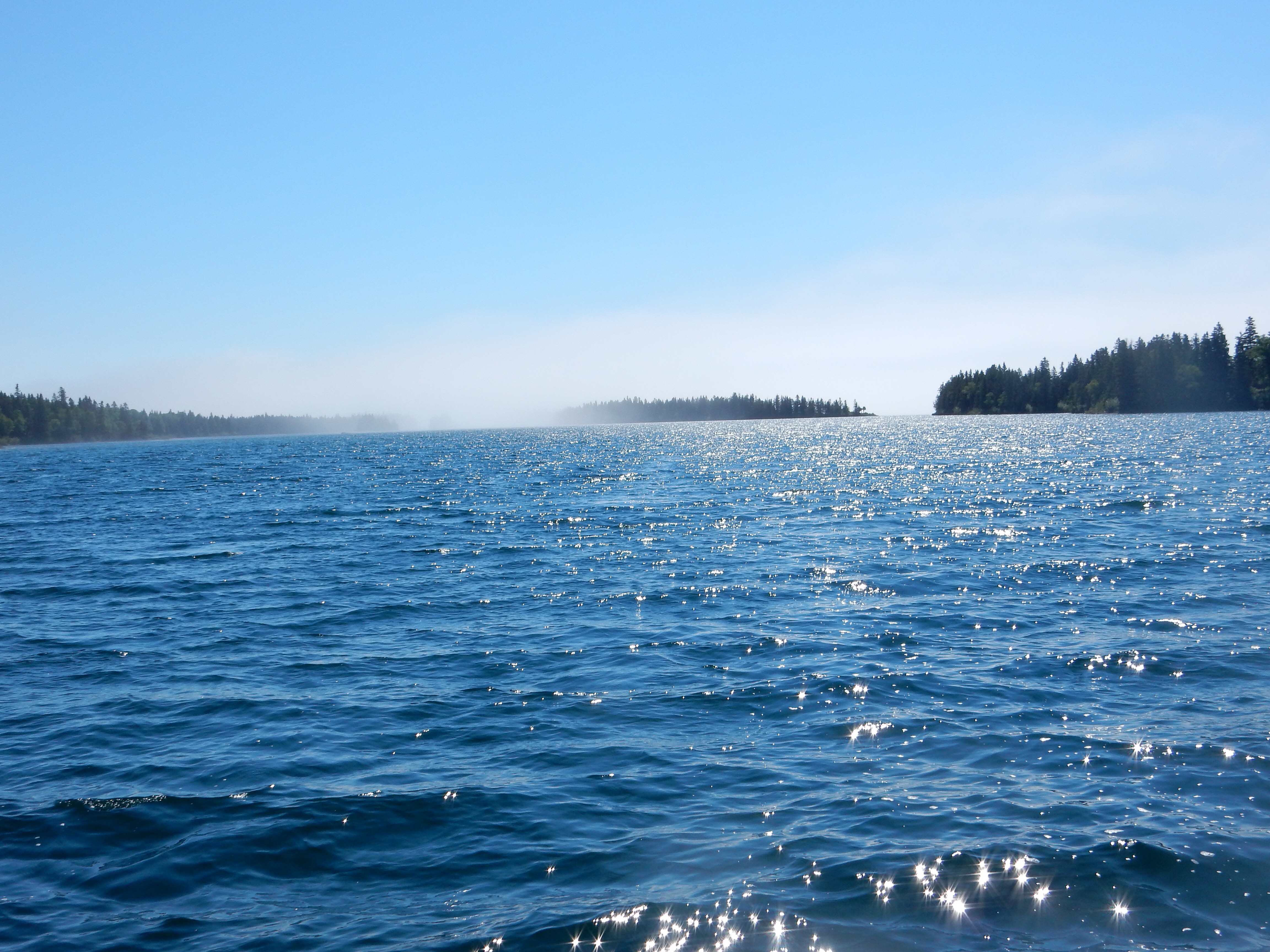
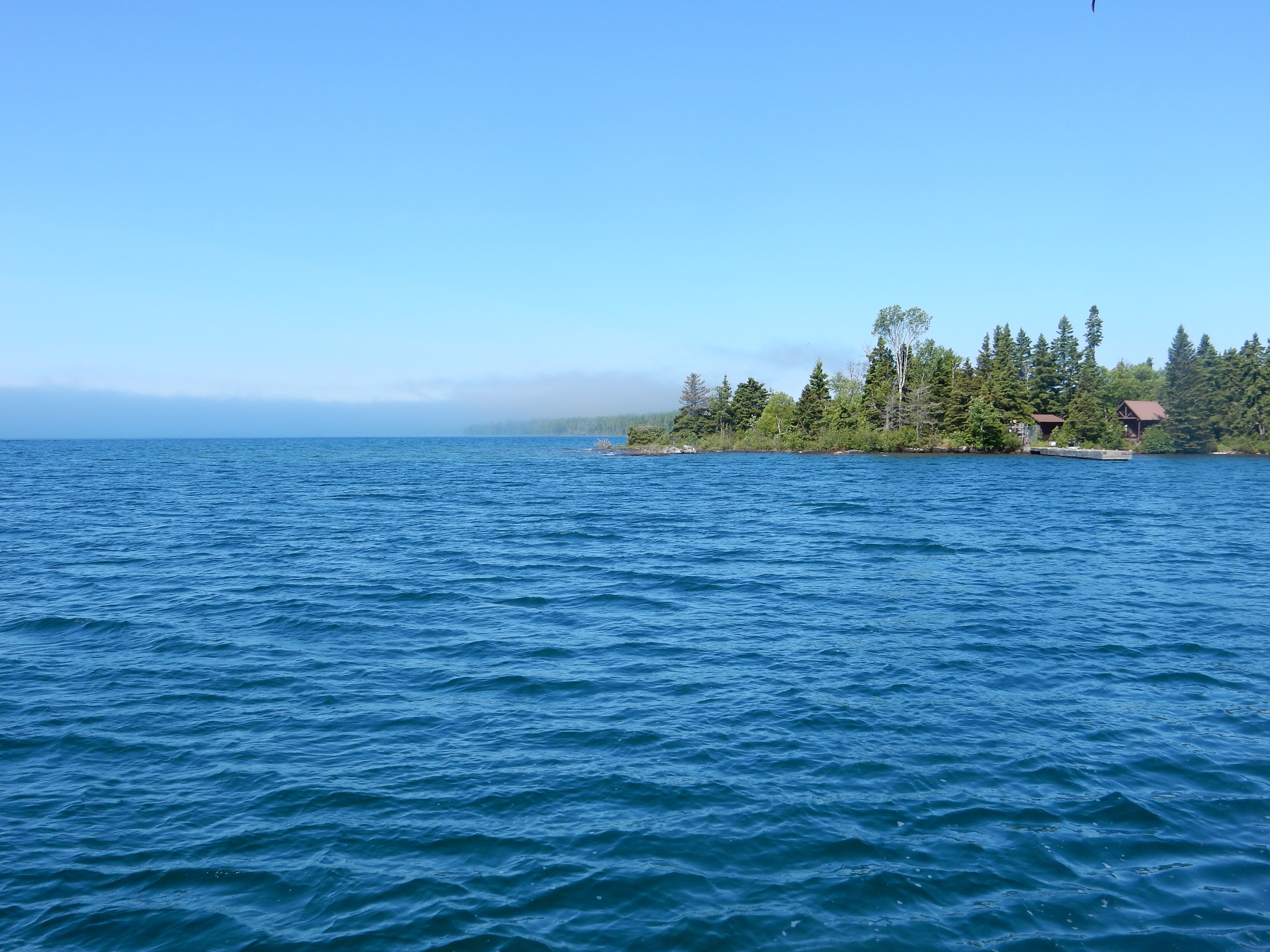
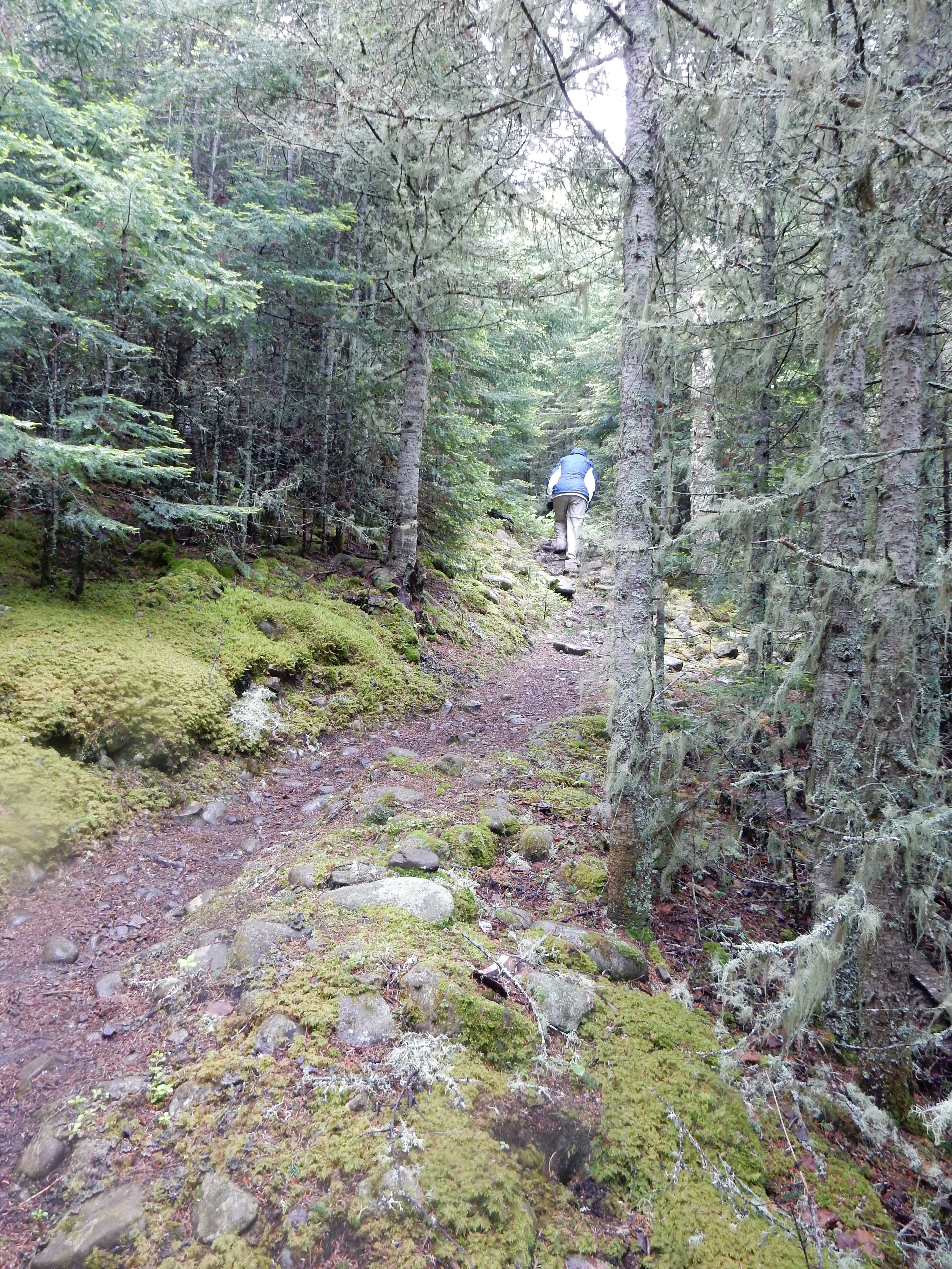
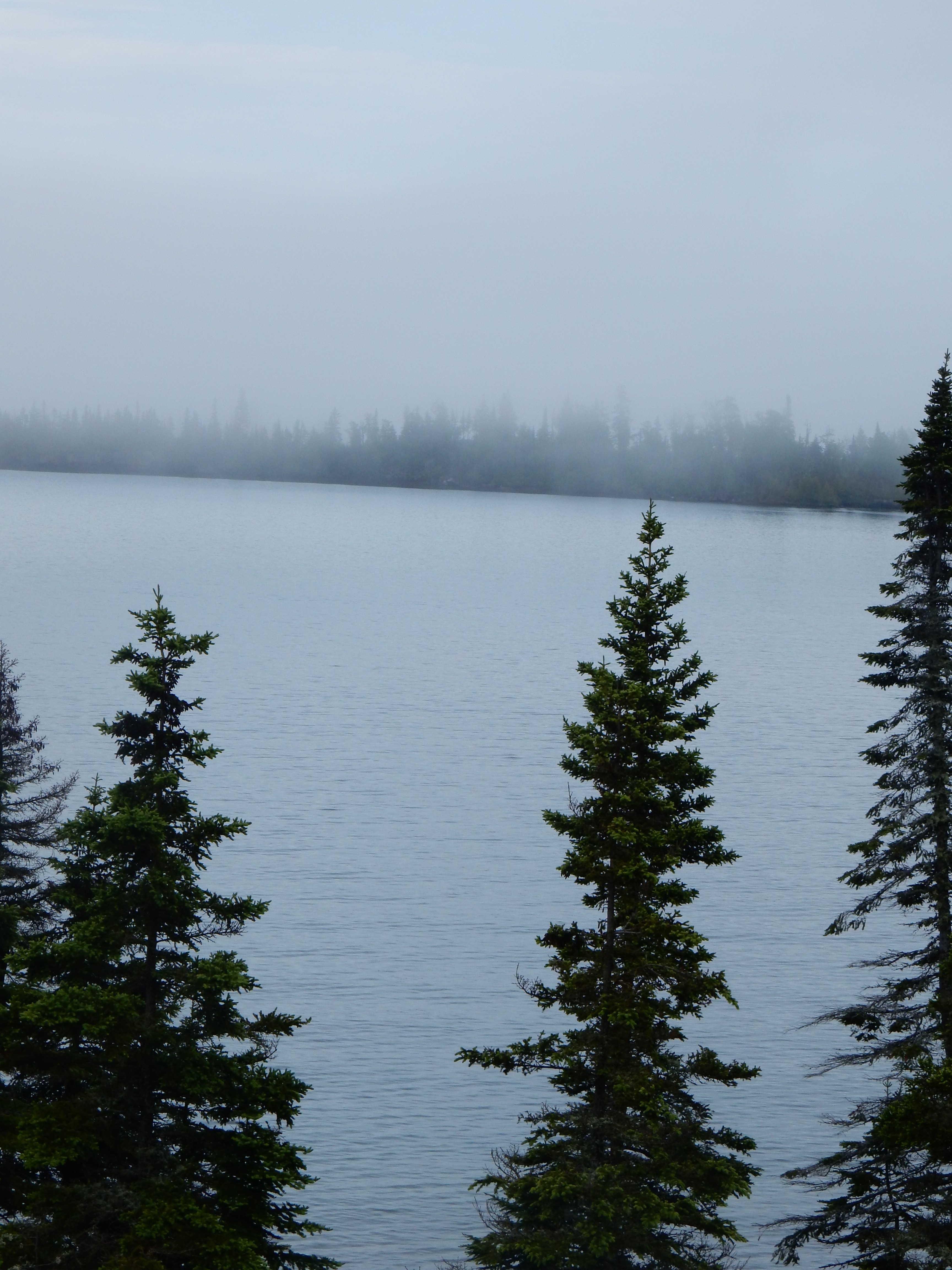
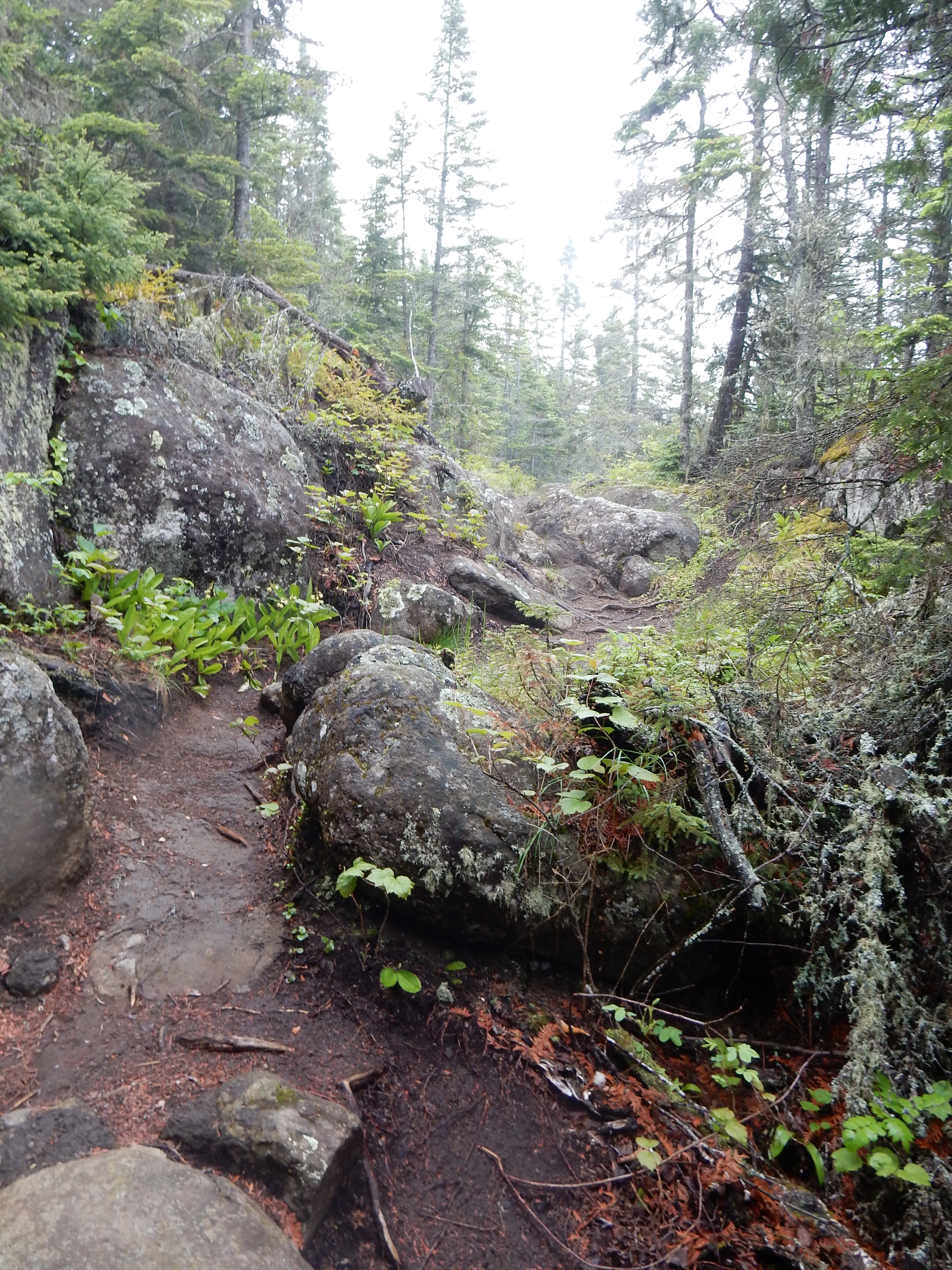
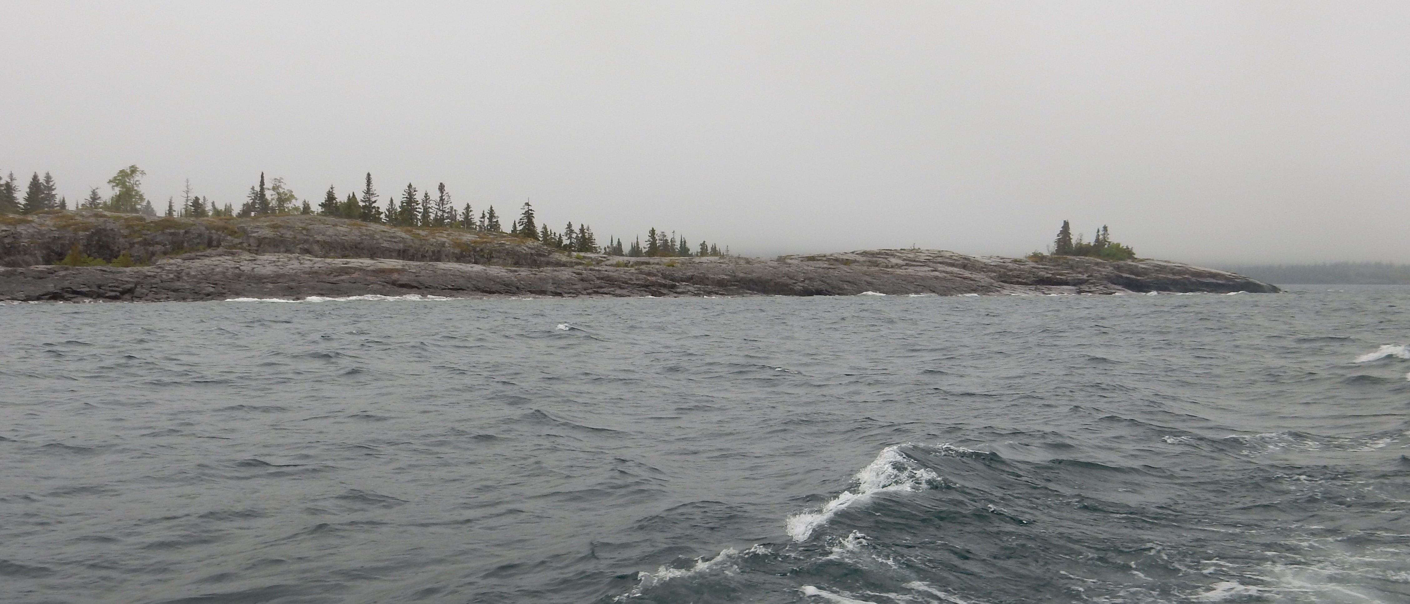
Sunday morning was another foggy dawn at the lake without a brilliant sunrise. We packed up and left our tiny cabin at Lakeside Cabins in Little Marais and ventured further south and west to Split Rock Lighthouse State Park. The lighthouse is maintained by the MN Historical Society while the park consists of 2200 acres of land along Lake Superior. The lighthouse was completed in 1910 after a storm in 1905 caused six ships to crash within twelve miles of the Split Rock River. Changes in technology have made the lighthouse obsolete but it stands as a memorial to an earlier age. We hiked along the Lake Superior shoreline and to the top of Days Hill, an observation point overlooking the lake and the lighthouse.
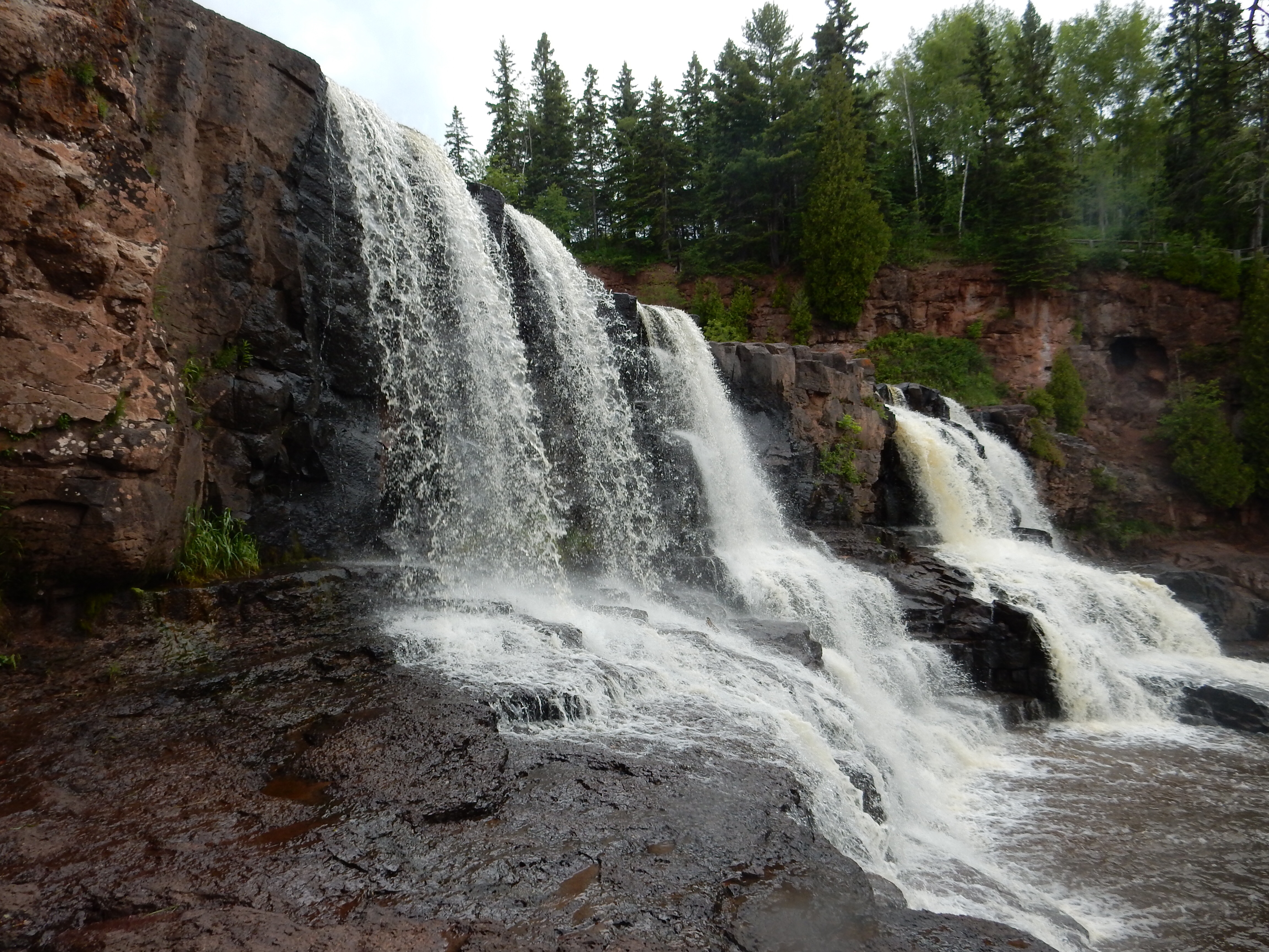
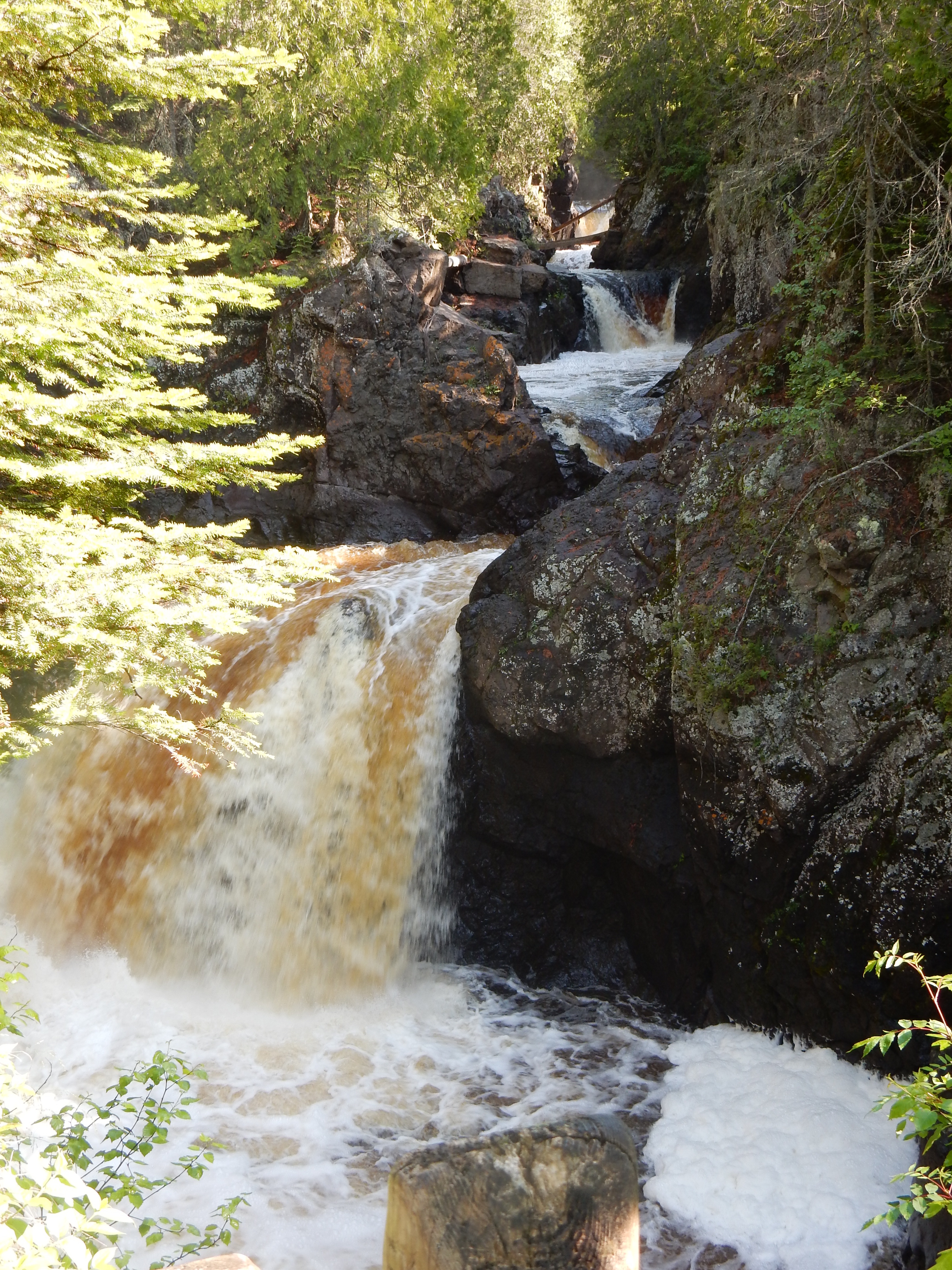
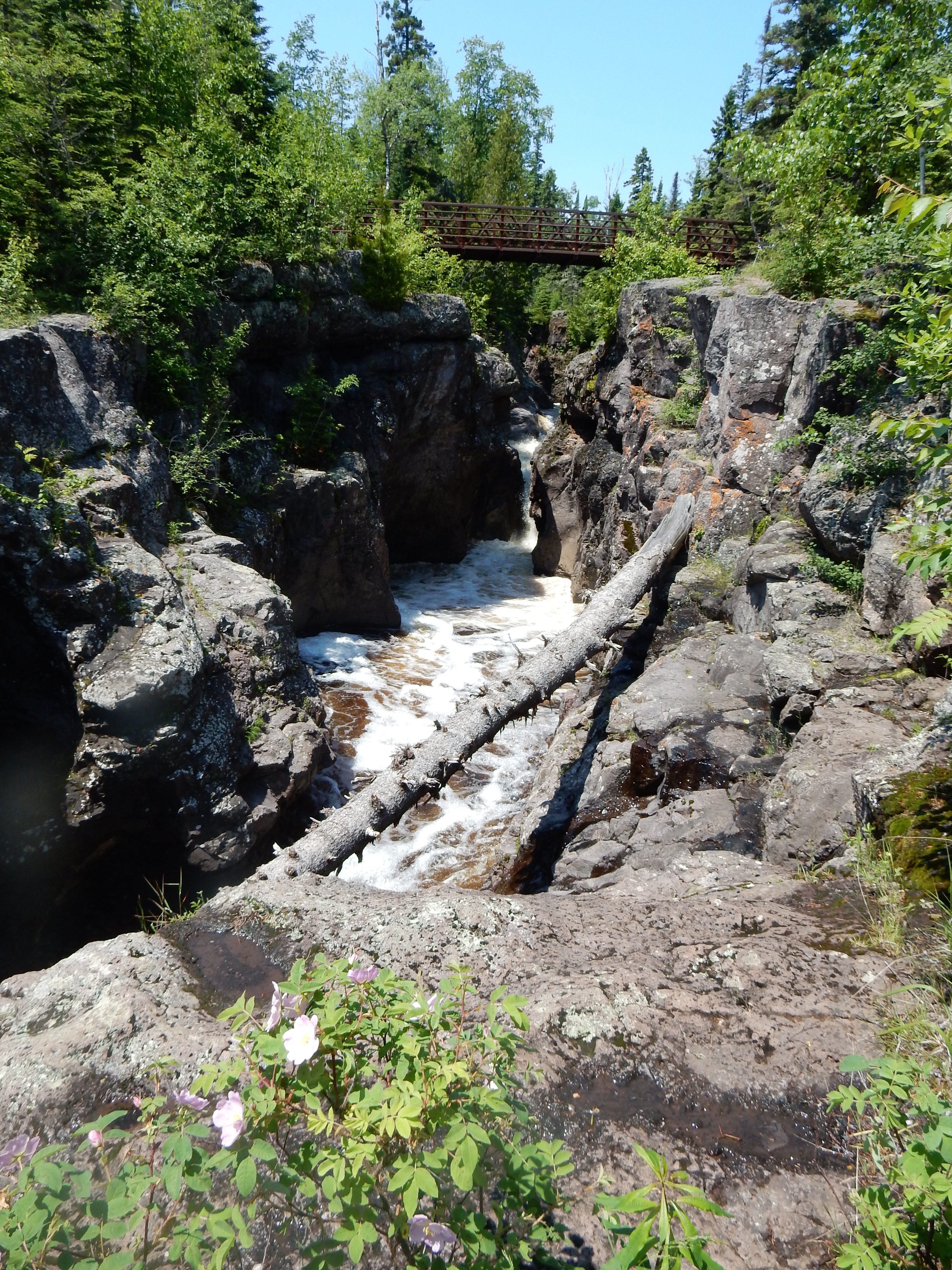
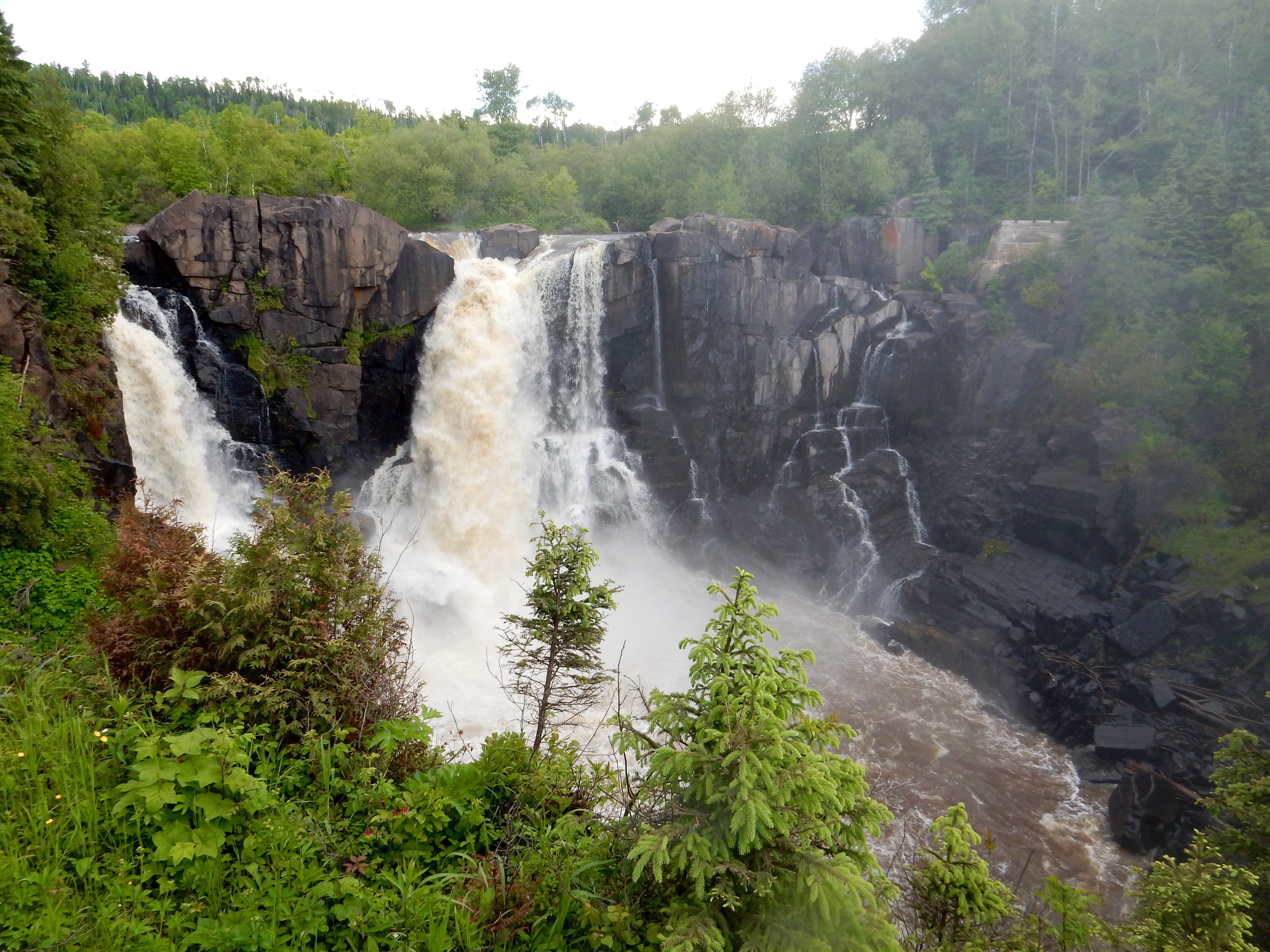
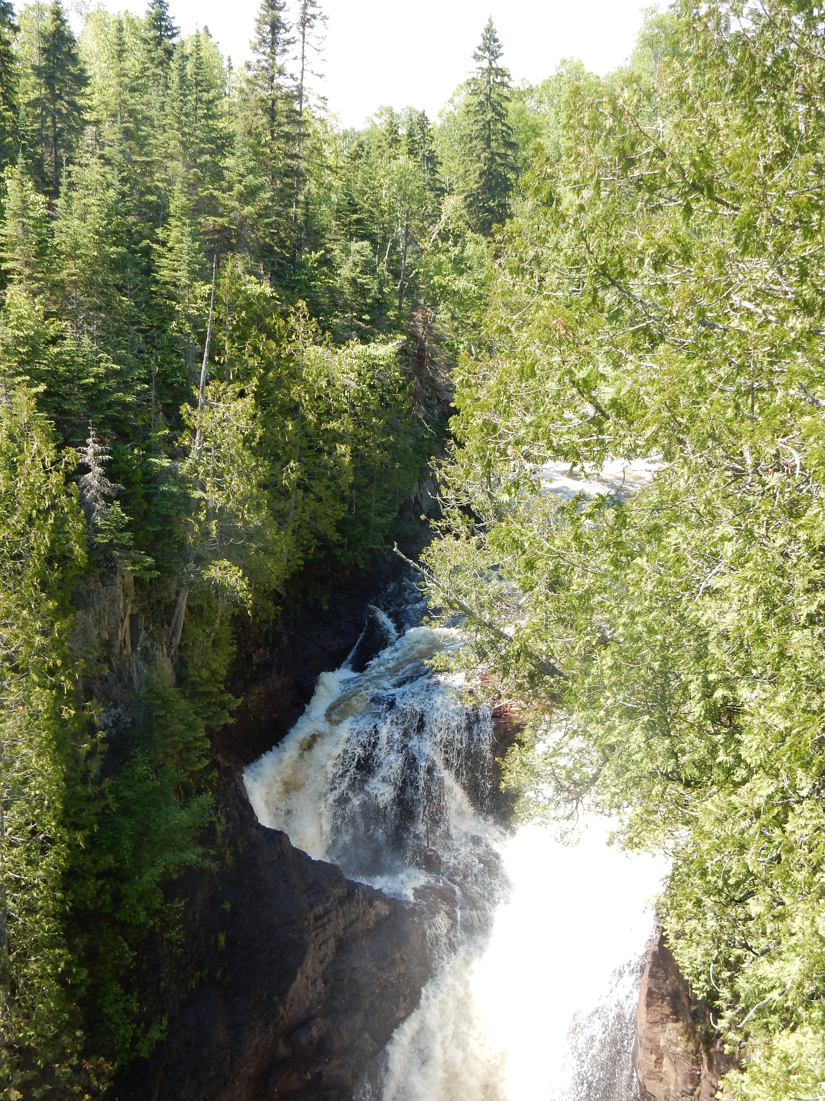
One of the falls at Gooseberry Falls State Park
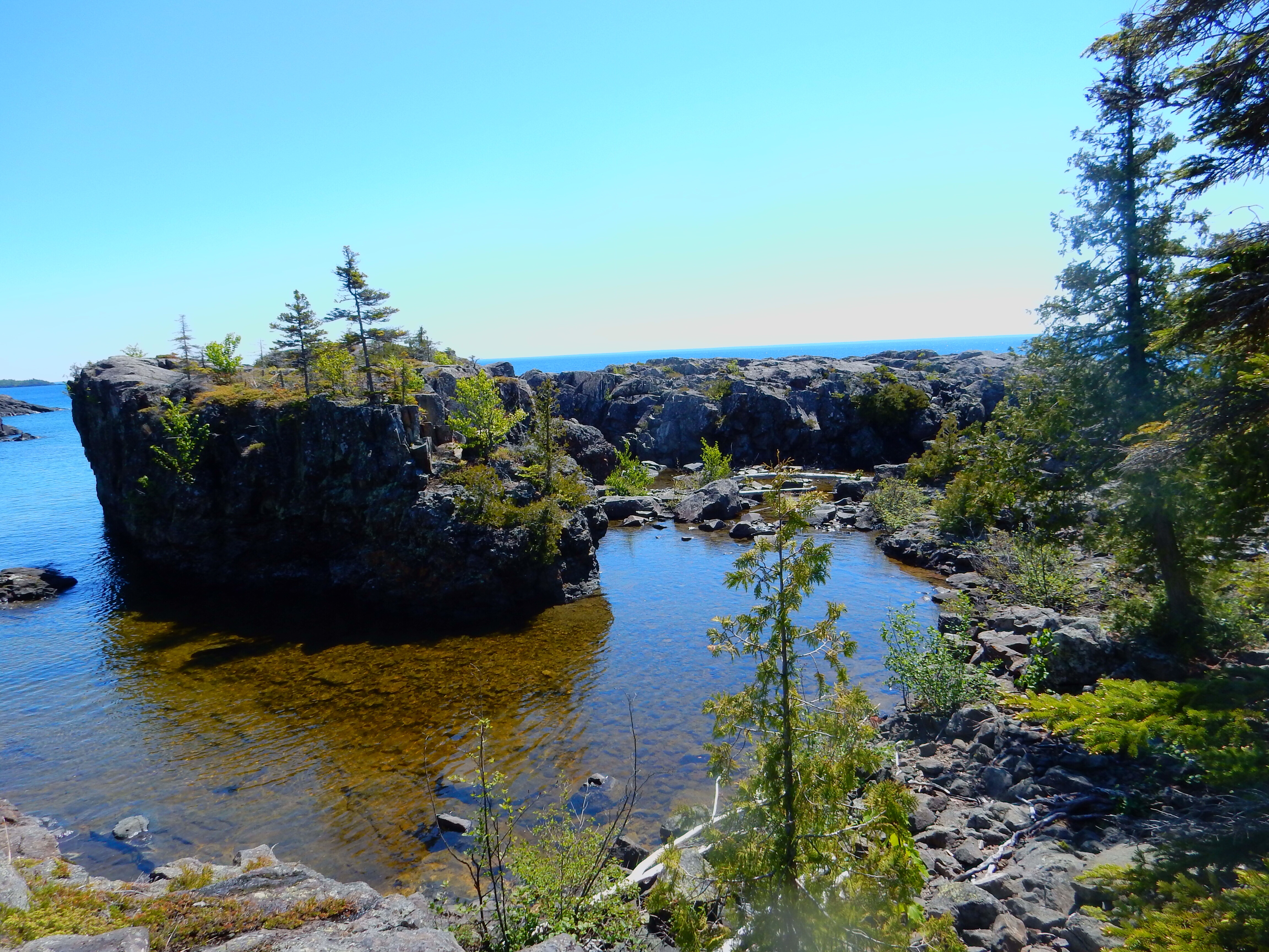
Our second stop was just down the road at Gooseberry Falls State Park. Gooseberry is the second most visited state park in Minnesota. It has waterfalls, Lake Superior, hiking trails including portions of the Superior Hiking Trail, biking trails including the Gitchi-Gami Trail and it does not hurt that the visitor center and falls are easily accessible and close to MN Highway 61. Gooseberry is another park we had visited previously and by the time we arrived on Sunday, it had started to drizzle. The skies looked even more threatening and we kept our visit short.
We left the park and headed south and west into Two Harbors for lunch. Well, Sunday on the North Shore is “head back to the Twin Cities” time and there was a two-mile back-up on Highway 61 leading into Two Harbors. The line moved slowly due to the signal lights in Two Harbors but we made it and chose Judy’s Cafe for lunch. We made it into the cafe after a group of young men from some baseball league which meant the food took a while to be prepared. However, the drizzle had turned into a steady downpour so our entertainment was to watch the cars go splashing through the rain.

The 3M museum in Two Harbors MN

One of the displays at the 3M museum
After lunch, we visited the 3M Museum. 3M (Minnesota Mining and Manufacturing) is a Fortune 500 company headquartered in St. Paul (Maplewood) MN. You might recognize 3M due to its Scotch brand masking and adhesive tapes or Post-It Notes. 3M began here in Two Harbors in 1902-partially by mistake. Early industries needed abrasives and corundum was one of the most highly prized. A rock specimen believed to be corundum was found along Lake Superior and a company (Minnesota Mining and Manufacturing) was begun to mine the mineral and make abrasives. Unfortunately the Lake Superior mineral was not corundum and it was useless as an abrasive. The five founders of the company had a major problem.
The history and culture of the company were created by its ability to be flexible, to conduct pure and applied research, to innovate, and to continue in operation with other products. It was the first developer of sandpaper that could be used wet or dry and in the burgeoning auto manufacturing business, this was a critical improvement. The company went on the develop masking tape as a means to assist in properly painting two-tone automobiles. Scotch cellulose tape (early predecessor of Scotch magic tape), was another early success. Its success and innovation continue to this day. Several of the early leaders and backers of the company have set up major foundations that provide critical funding to non-profits in the Twin Cities. The museum is housed in the small corner building in which 3M was first officed.

A lakes freighter loaded with taconite pellets heading east

The ore loading docks in Two Harbors
After the 3M Museum, we stopped at the Duluth and Iron Range Railroad Depot Museum in Two Harbors. This museum celebrates the role of three early industries that built Two Harbors; logging, transportation, and fishing. I found the part about trains in the history of the Iron Range and of Two Harbors to be the most interesting.

The first steam locomotive used by the railroad

The last steam locomotive used; it had more power than the diesel ones that replaced it
The Iron Range is located about fifty miles west of Two Harbors. Iron ore is/was abundant here; the iron ore here supplied most of the steel used in WWI and WWII. When the rich deposits of iron ore ran out, new technology allowed lower grade ore to be made into taconite pellets that concentrated the ore into higher percentages of iron. Trains were critical to the transportation of the ore over to Lake Superior where it was placed into ships and transported to steel foundries in the East. On display at the museum are the first and last of the steam locomotives used prior to the switchover to diesel engines. One ship was leaving the loading docks to head East as we watched from shore.

The Northern Rail Traincar Inn in Two Harbors MN
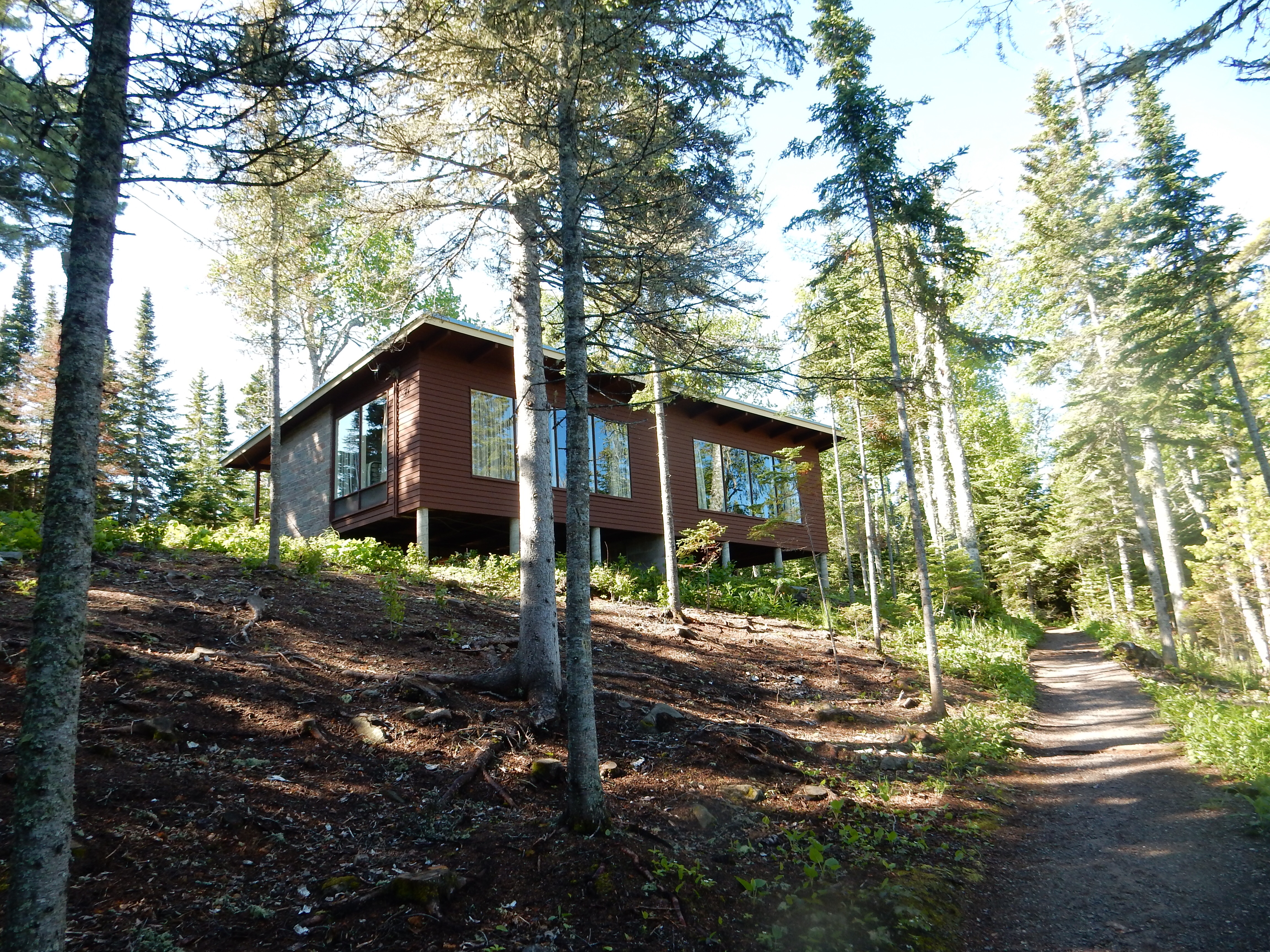
Our lodging for the evening was at the Northern Rail Traincar Inn. Actual boxcars have been re-located here and placed on rails. The boxcars have been furnished to provide modern rooms and the two rows of boxcars are connected with a new corridor. Quite ingenious and unique. We waited out another rainstorm and then headed to Betty’s Pies, an institution on the North Shore. Our two pies were great.

Wildlife pond at Moose Lake State Park
Monday we headed back to the Cities. (In Minnesota, St. Paul and Minneapolis are simply “the Cities”. Likewise, the northern part of the state may be referred to as going to the lake or going up north.) We stopped at Moose Lake State Park to see their agate collection. Unfortunately, due to some issue at another park, the display and office were closed. We took a miserable one mile hike around a lake; the bugs were worse than ever and the damp grass somehow managed to soak into our shoes while the rainstorms we have walked in had not. We were more than willing to leave the park behind and head home.
Ed and Chris June 29


Recent Comments