Destin, FL Feb. 8 & 9
This is a two-day blog, we took yesterday off from blogging. The panhandle of Florida continues as our focus and history began our day Sunday as we visited Fort Pickens, part of the Gulf Islands National Seashore, just across the bay from Pensacola.
Pensacola Bay is large, deep, and offers protection for ships from coastal winds. The Spanish explored this area in the early 1500s and tried to found a settlement here in 1559; six years prior to St. Augustine. 11 ships and 1400 people landed here. Unfortunately for them, about five weeks later a hurricane came through the area destroying the ships and the supplies. Good protection only goes so far when a hurricane is roaring through. The Spanish did not resettle the area until 1689. Over time, Spain, France, and Great Britain would control the area until the U.S. bought Florida from Spain in 1821. The U.S. built a series of forts in the area to protect Pensacola Bay.

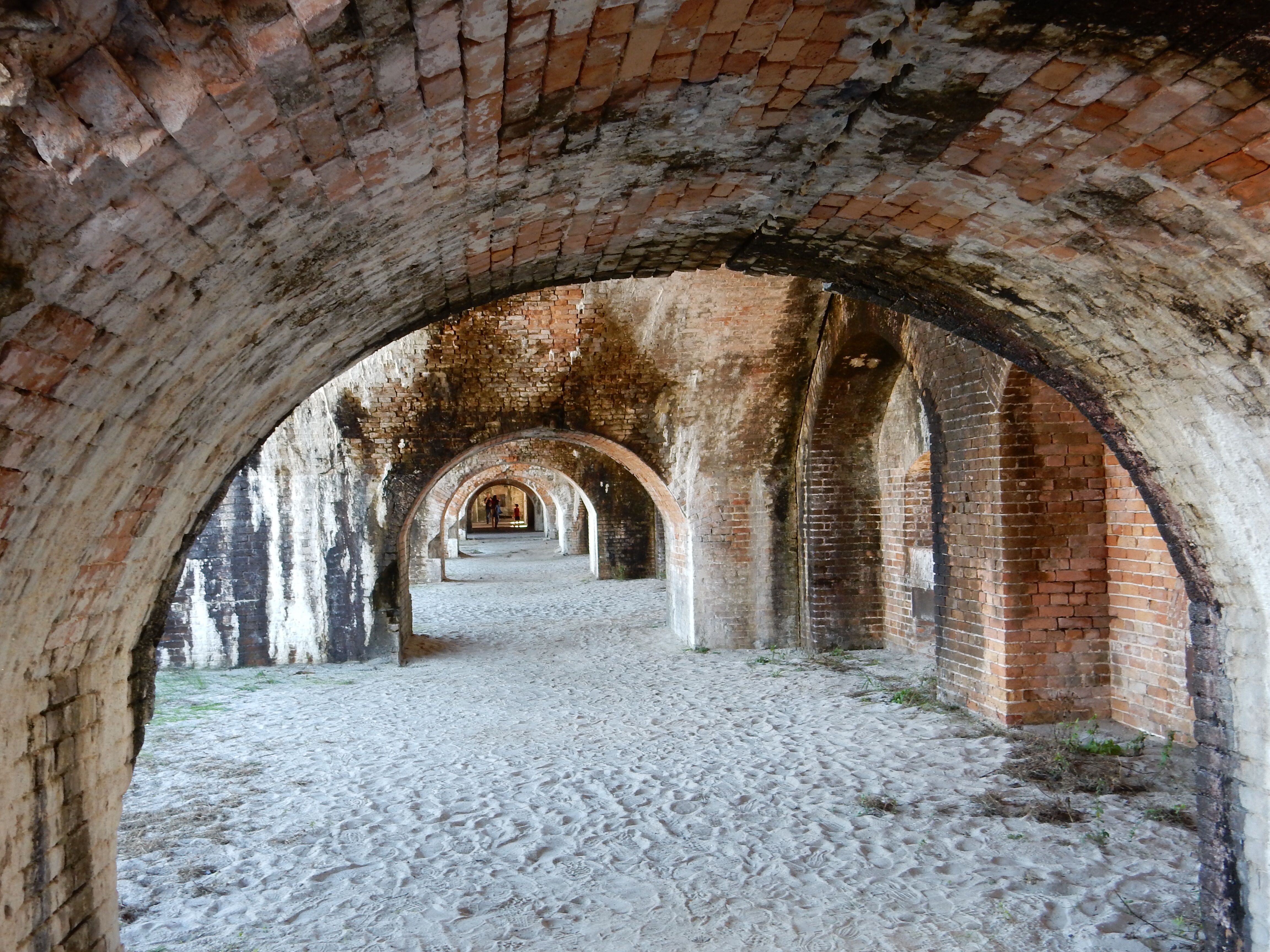
Interior arches of Fort Pickens
Fort Pickens was the largest of the four forts, being completed in 1834. It took 21,500,000 bricks (give or take a few) to build the fort. Slaves did most of the construction over a five-year period. Since the fort is built on sand, arches are used to provide strength and stability to the fort. This included building an arch down into the ground to support the arch you can observe holding up ceilings.

Bricks at the fort had limestone in them, dripping water has created stalactites over the years.

Behind the sail boat is Fort Barrancas, held by the Cconfederates during the Civil War
During the Civil War, Fort Pickens was one of only four seacoast forts in the South to remain in Union hands. The fort was built so well, with multiple lines of defense, that overwhelming Confederate forces did not make any serious effort to take the fort. For instance, the moat surrounding the fort was dug down to the water table so efforts to build a tunnel to gain access or blow up the walls would be useless. One reason they may not have tried very hard to take the fort was that the builder of the fort, William Chase, sided with the Confederates and was the commander of the southern forces in Pensacola and knew the strength of the fort.

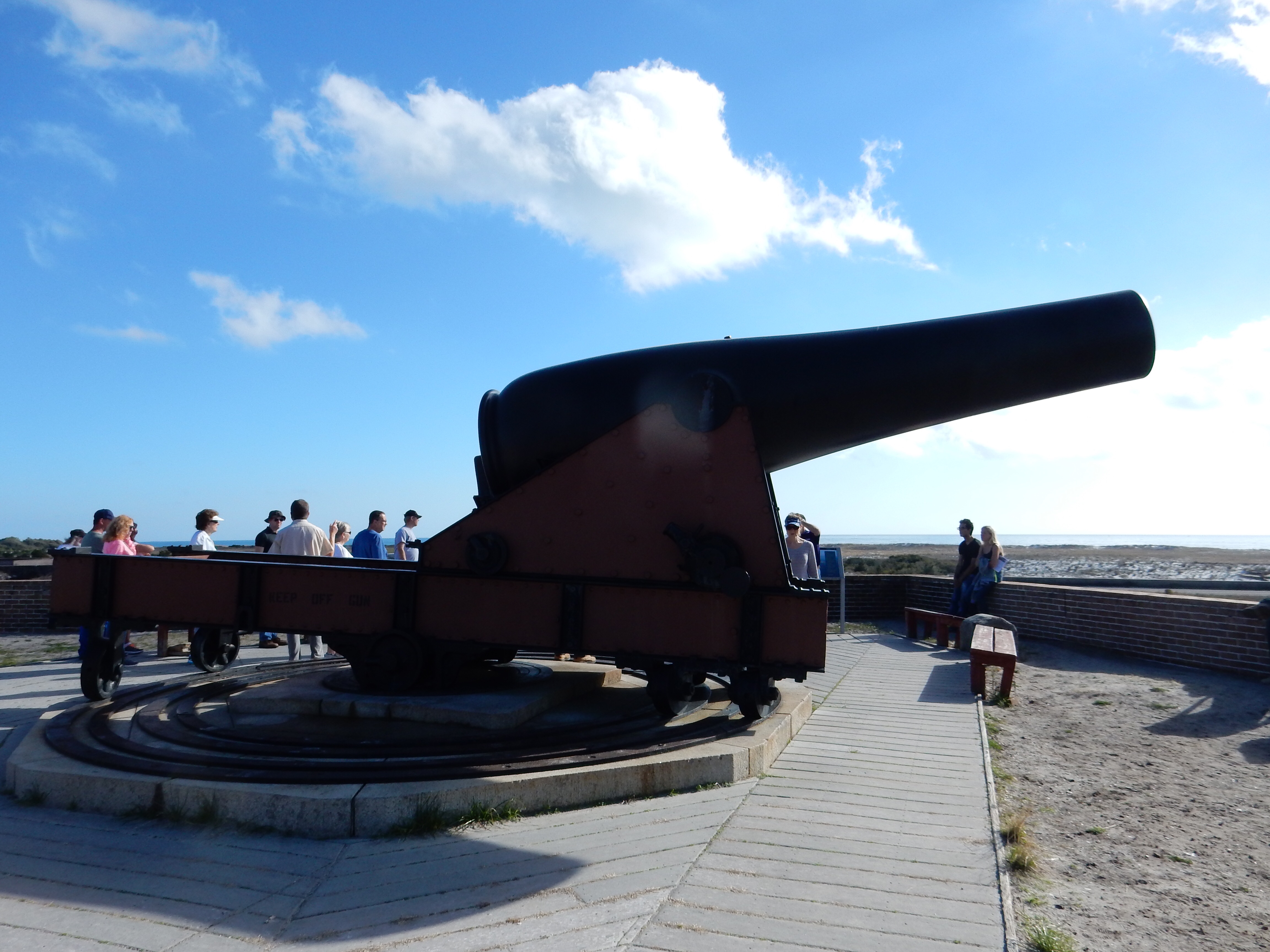
The largest cannon at Fort Perkins
Over the years, the fort was modified to counter new technologies and served through WWI and eventually disarmed in 1934. In 1899, during the Spanish-American War, a fire started in a warehouse area and reached a black powder magazine. 8,000 pounds of powder blew a huge hole in the wall that can still be viewed today. Debris from the explosion landed in Pensacola, 1.5 miles away.
Fort Pickens also served as the prison for Geronimo and other Apache men. When the Apache resisted their placement on reservations and the continued shrinking of those reservations, some continued fighting. Geronimo and others eventually surrendered and in 1892 were to be sent to Fort Marion in eastern Florida. When Geronimo reached Pensacola, local leaders petitioned the federal government to keep Geronimo here, basically as a tourist attraction. Geronimo and his men were separated from their families for two years and the women and children were sent on to Fort Marion. (Fort Marion is Castillo de San Marcos in St. Augustine.) In 1894 the Apaches were re-settled once again to Oklahoma but it was not until 1913 that the Apaches were freed.

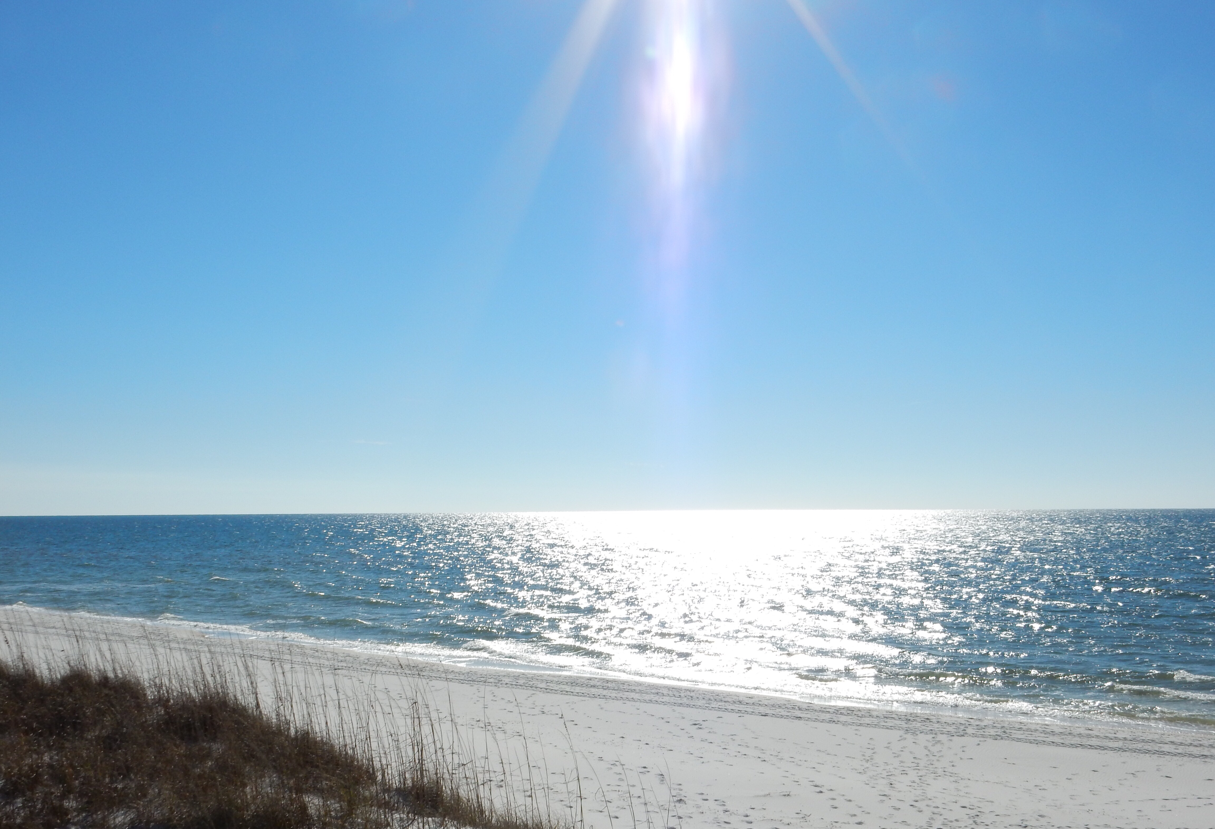
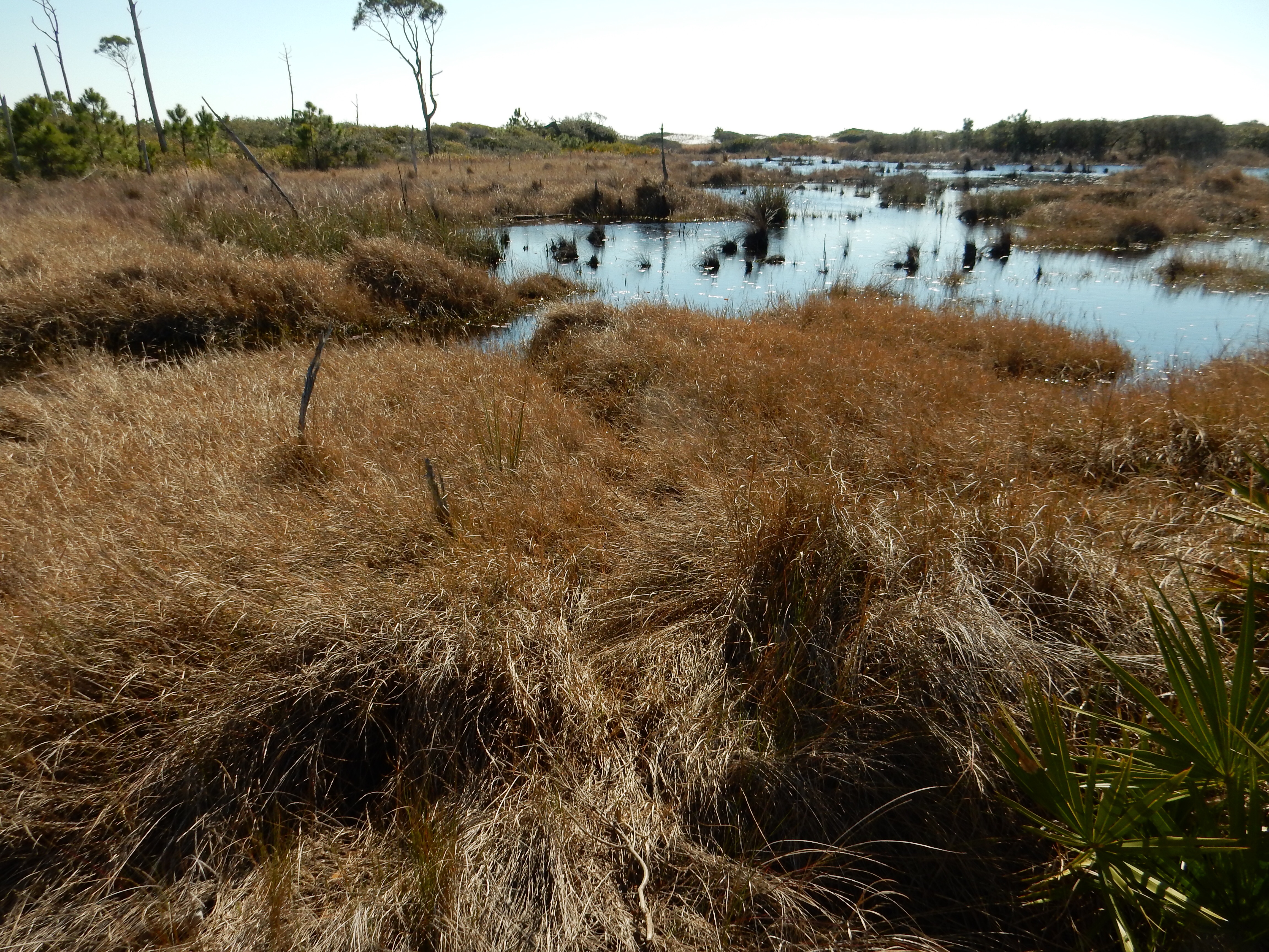
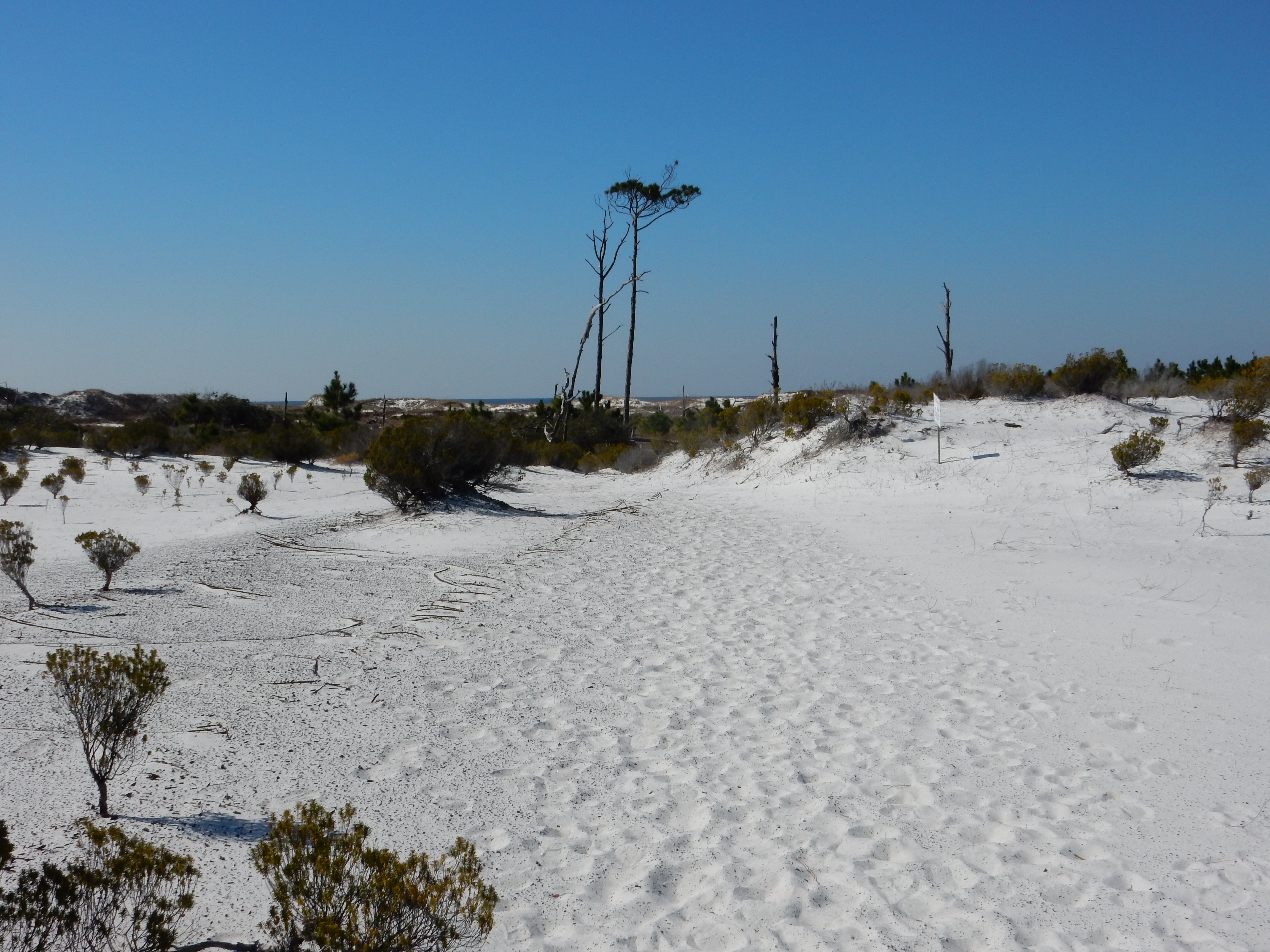
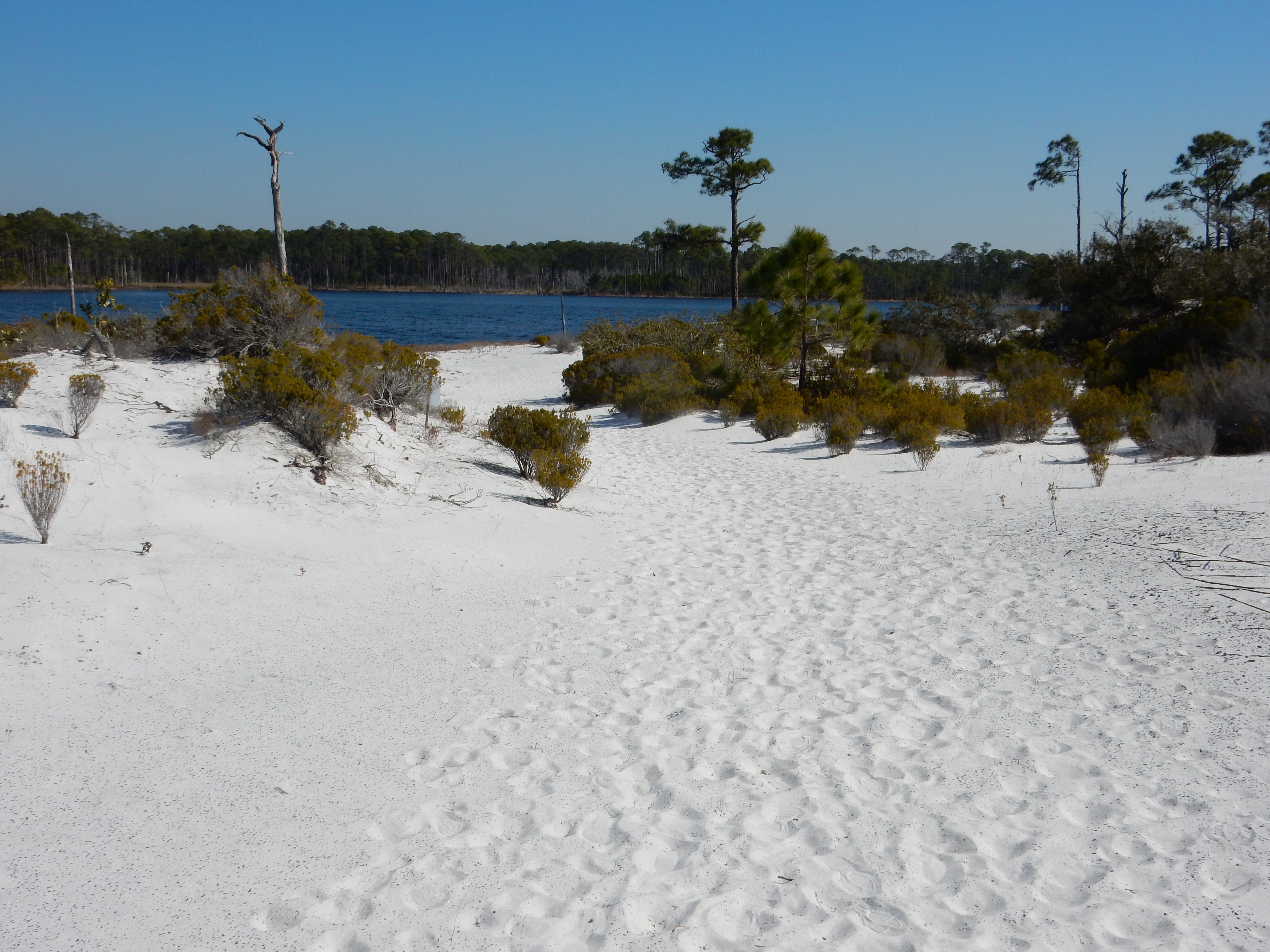
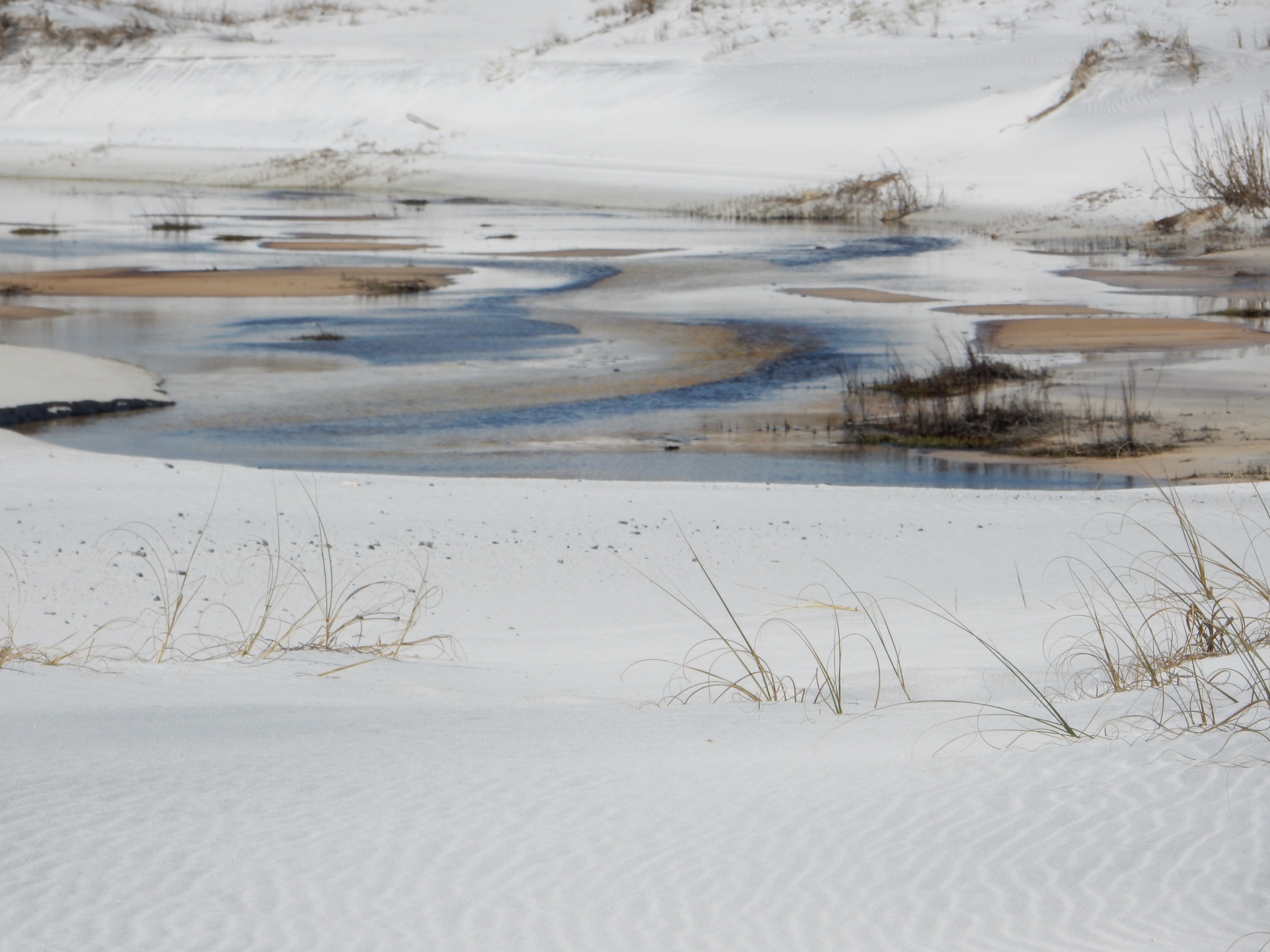
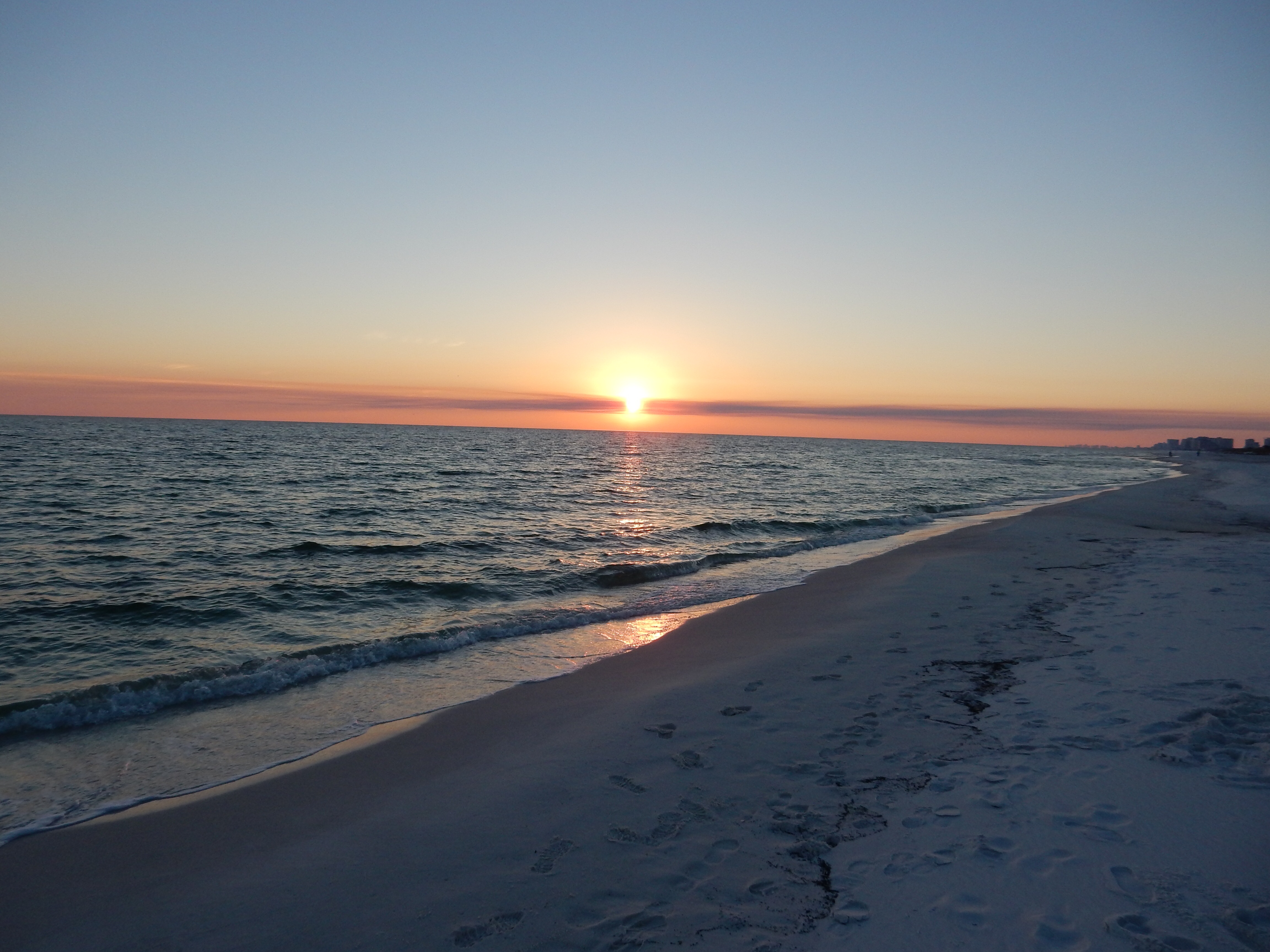
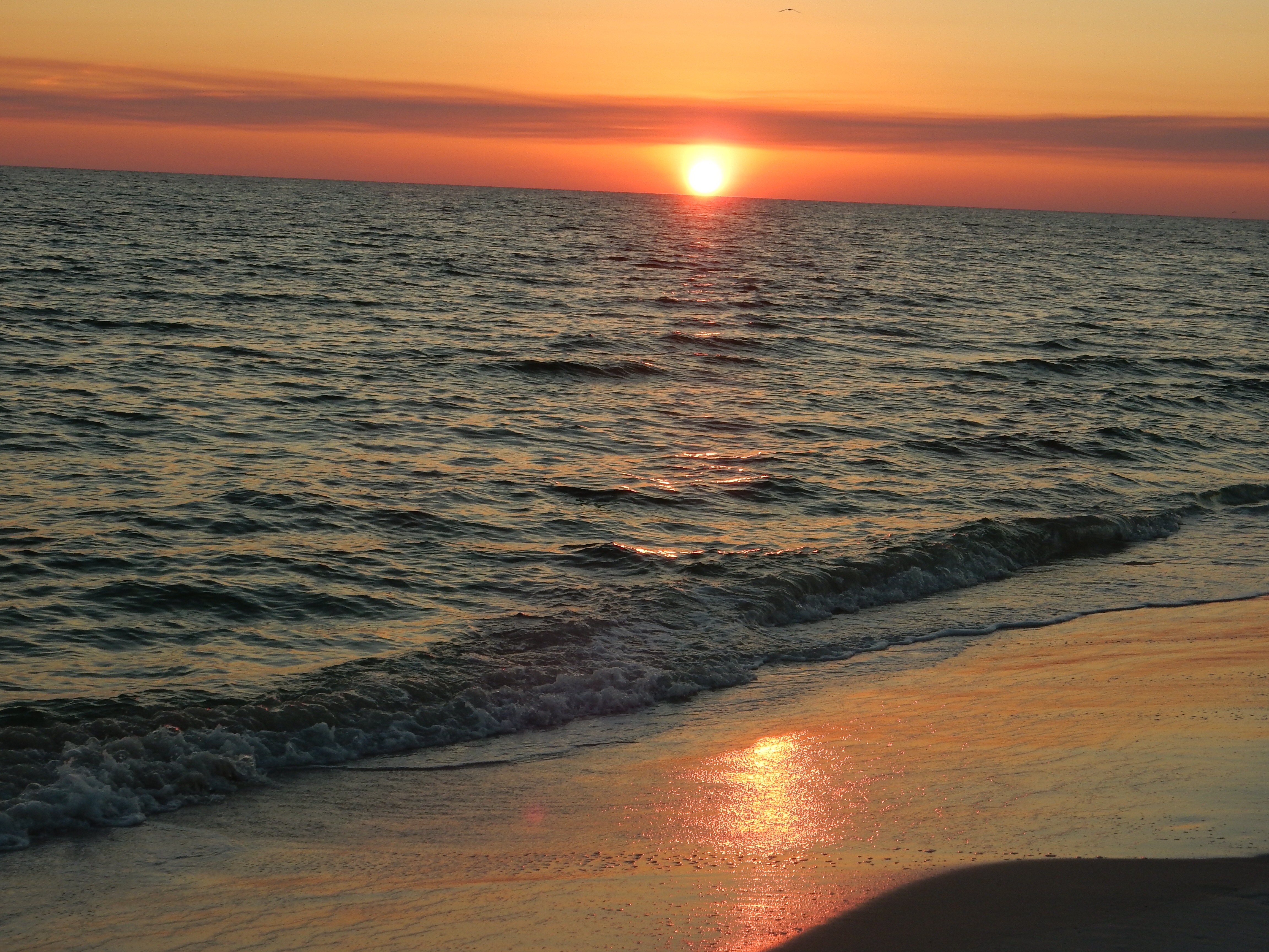
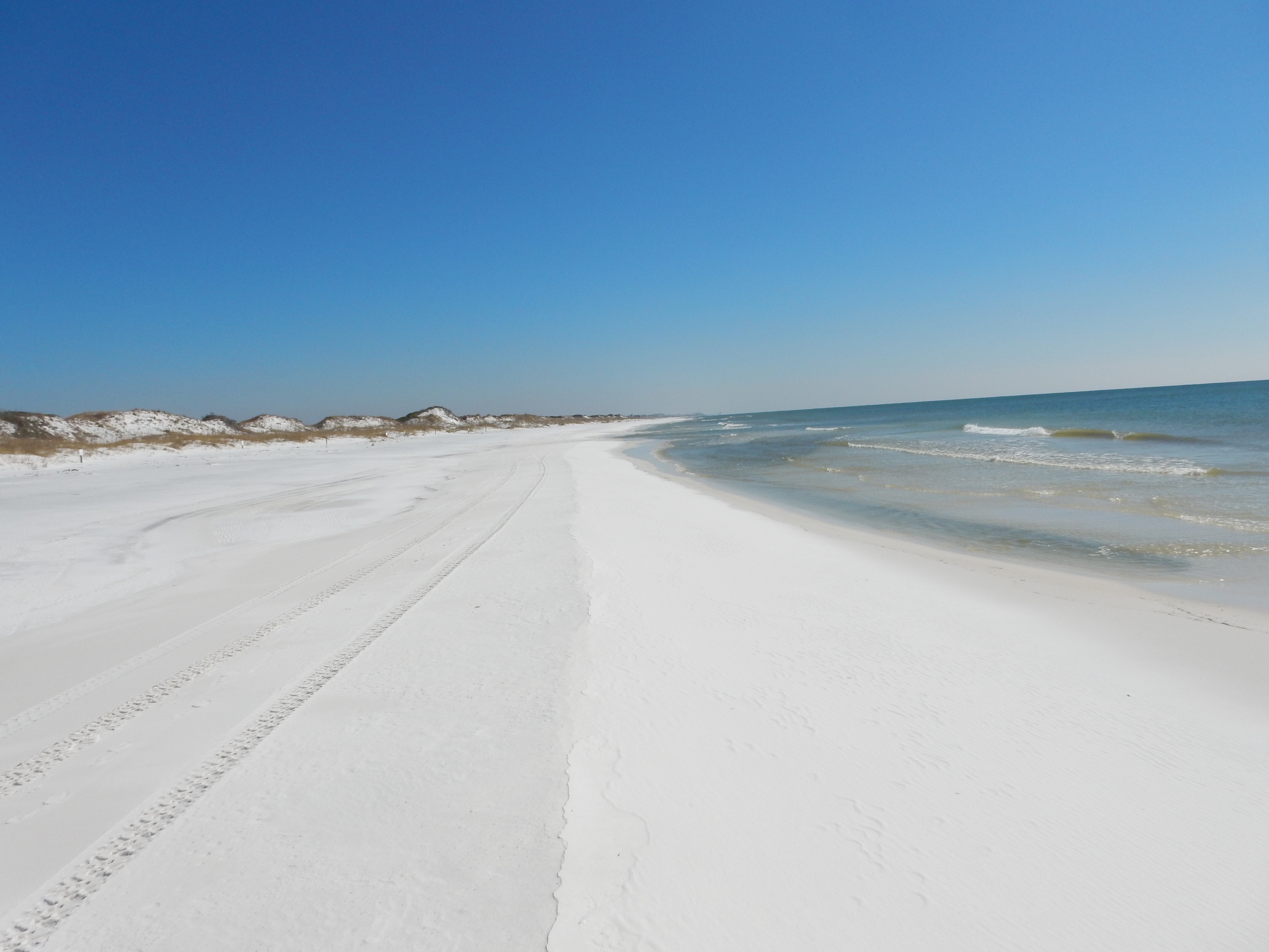
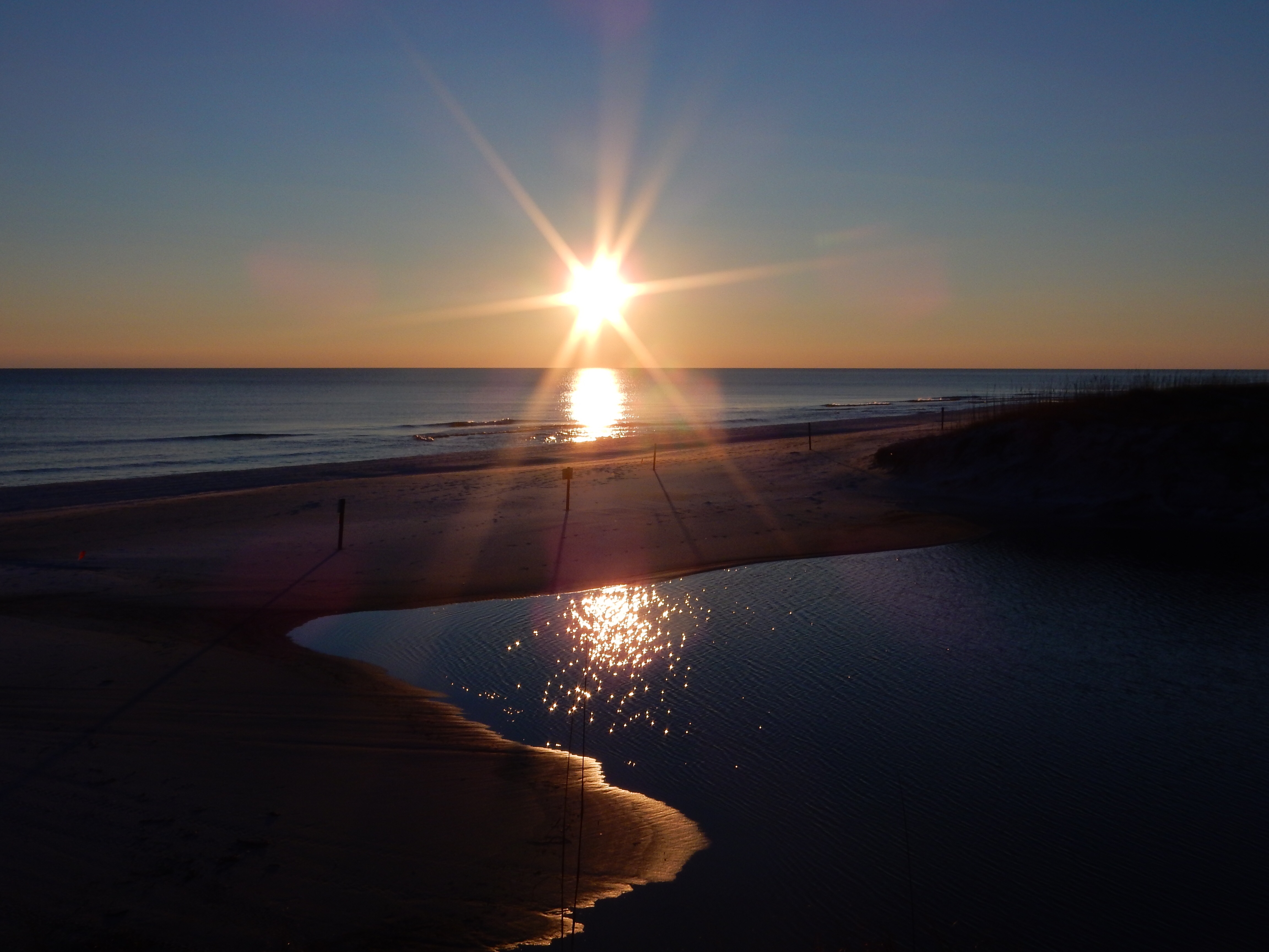
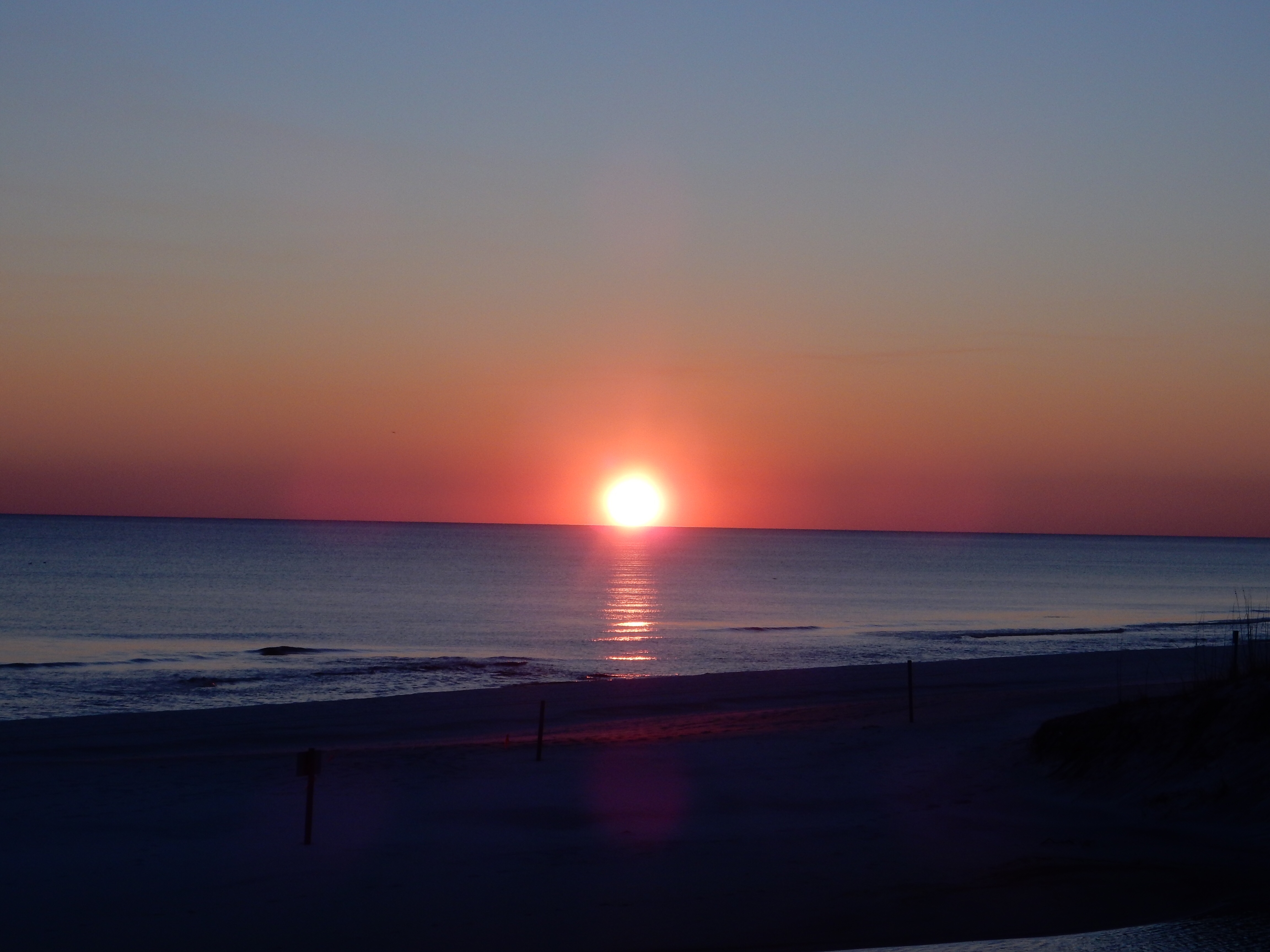
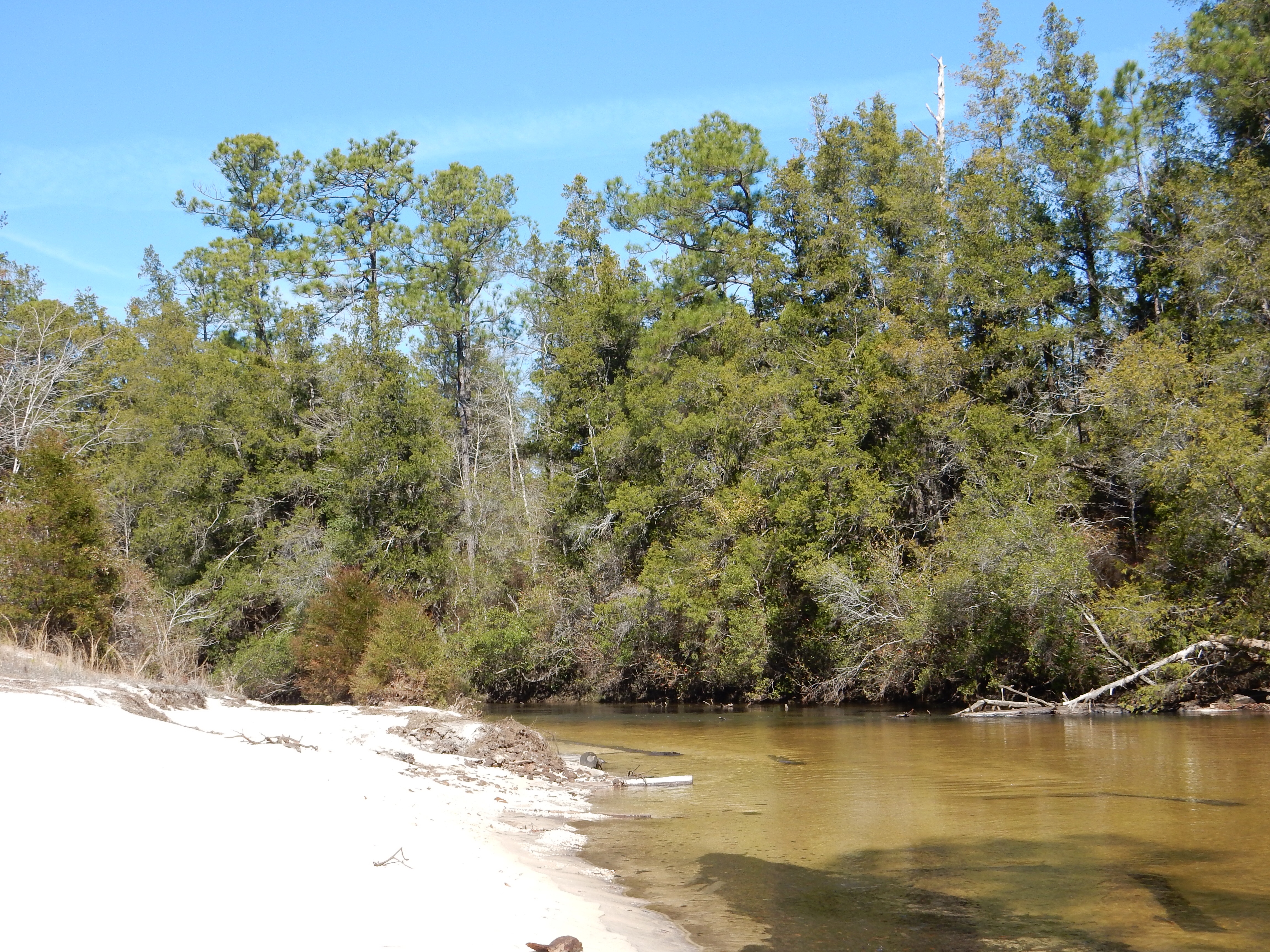
Late afternoon at the beach at Gulf Islands National Seashore
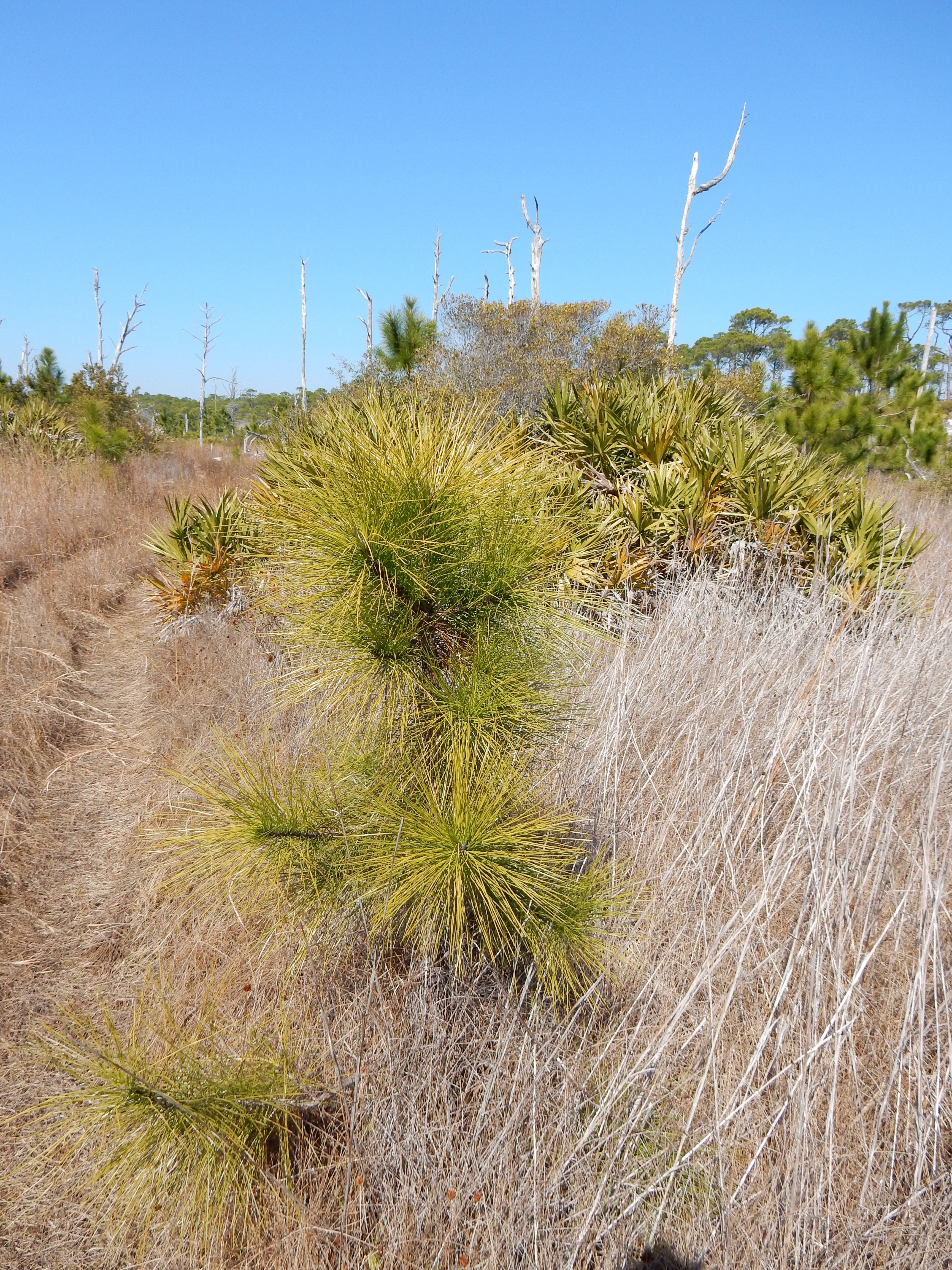
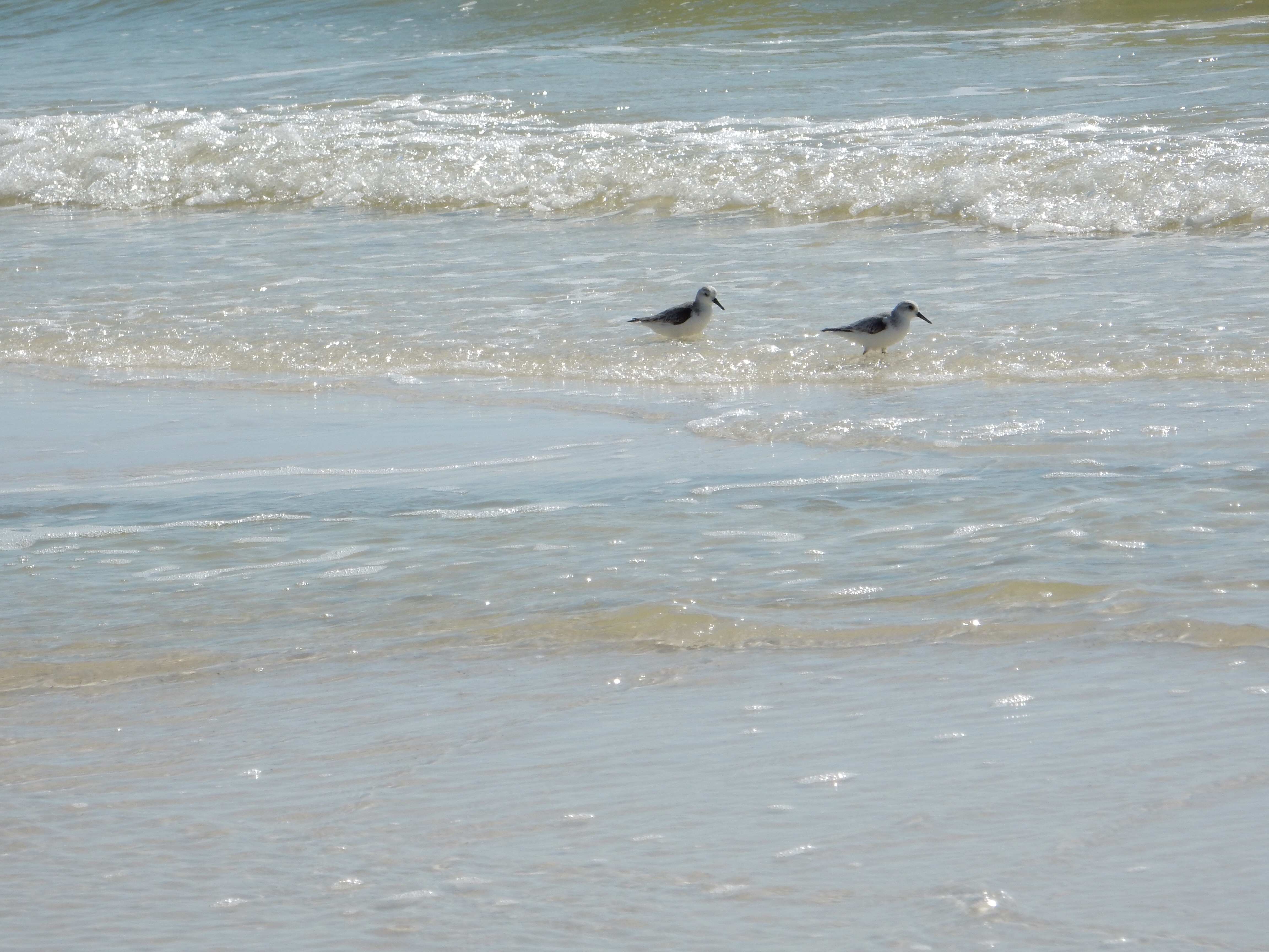
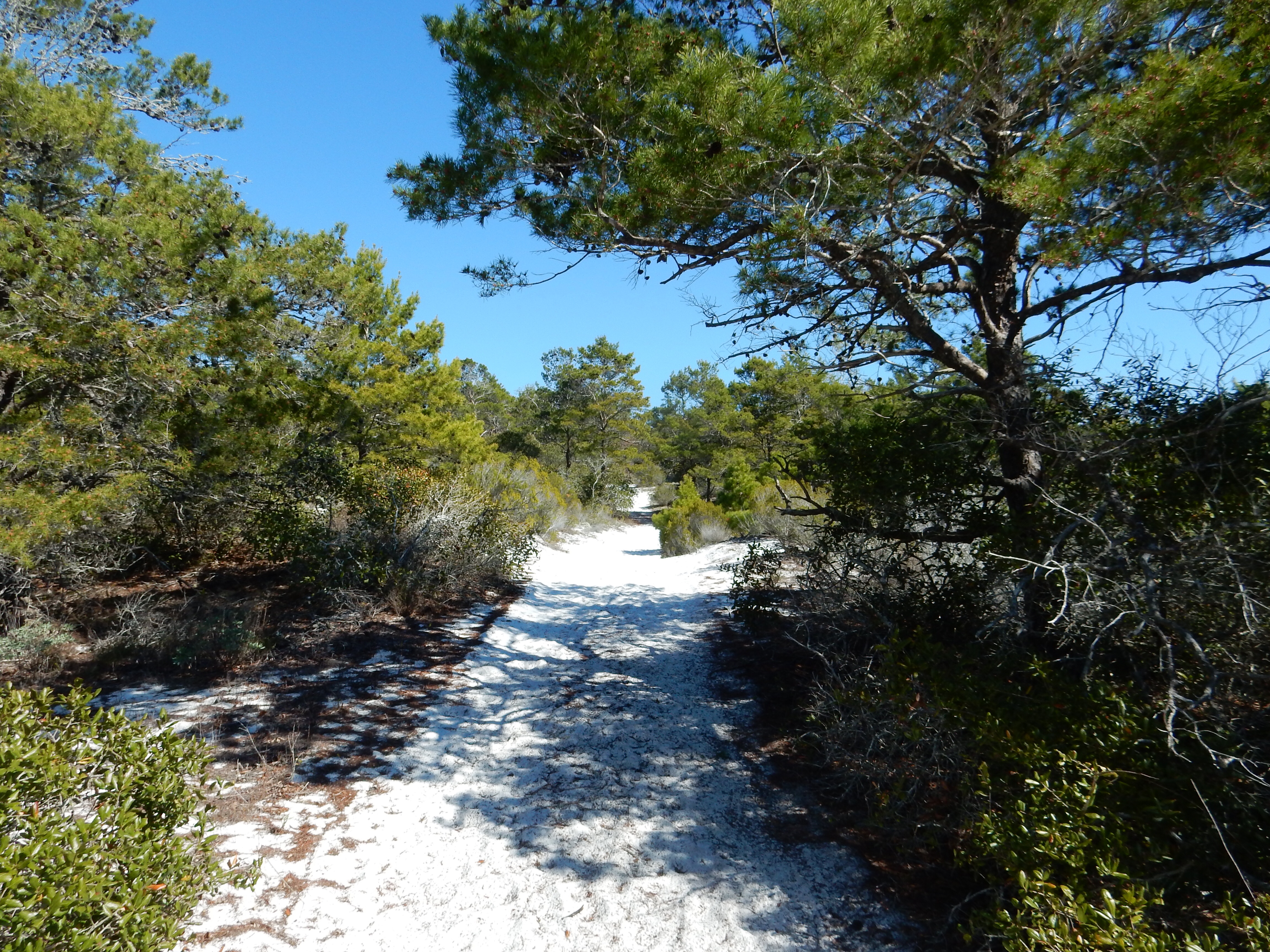
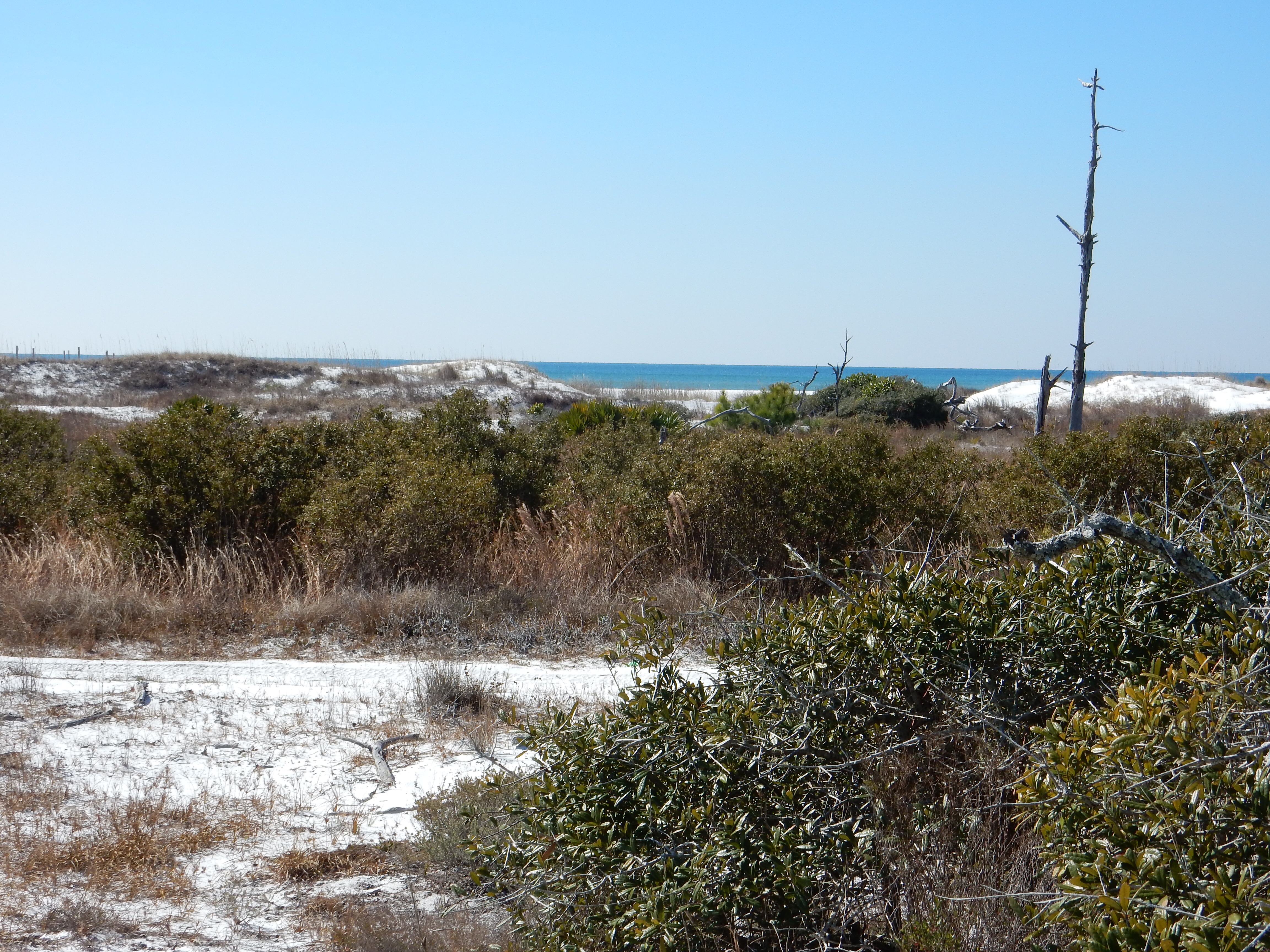
Fort Pickens is part of the Gulf Islands National Seashore, a series of barrier islands stretching from about Gulfport Mississippi to Fort Walton Beach Florida. These islands help to protect the mainland from coastal storms. The beaches are white sand; sand created by years of erosion from granite rock in the Appalachian Mountains. The white quartz sand is the end result, being transported by rivers to the sea. After we left Fort Pickens, we spent a while on one of the beaches that are part of the National Seashore. It was still too cool for major lazing on the beach but a half hour break was refreshing.

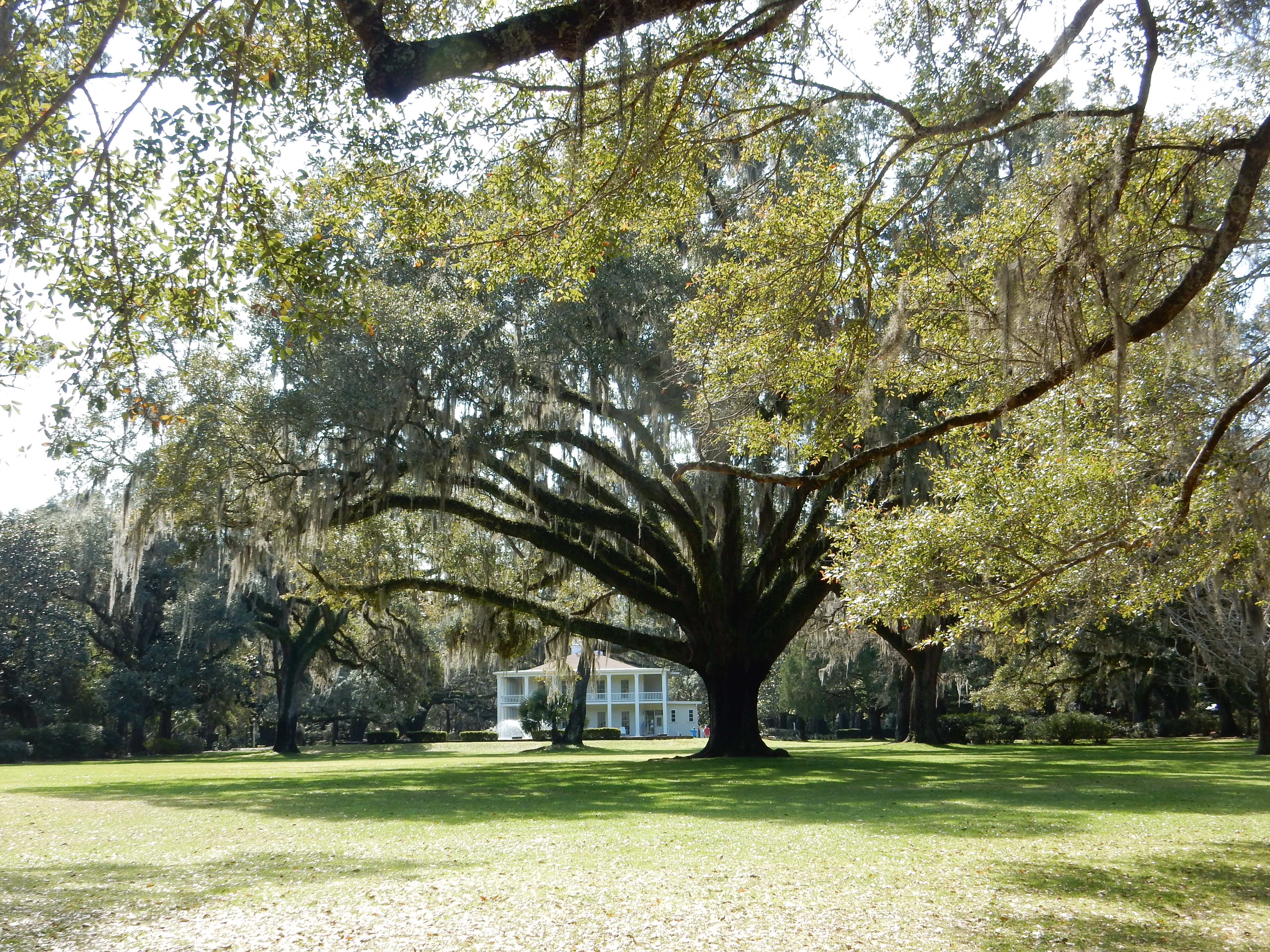
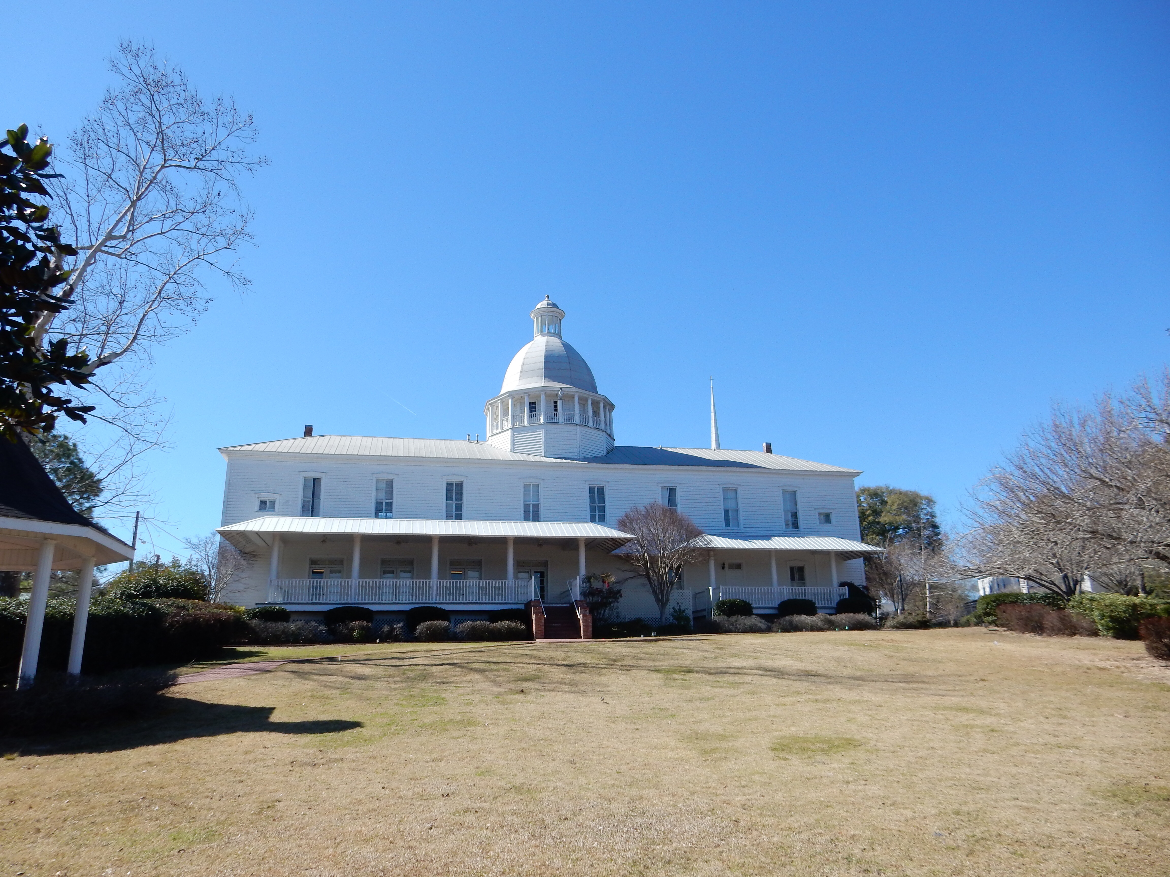
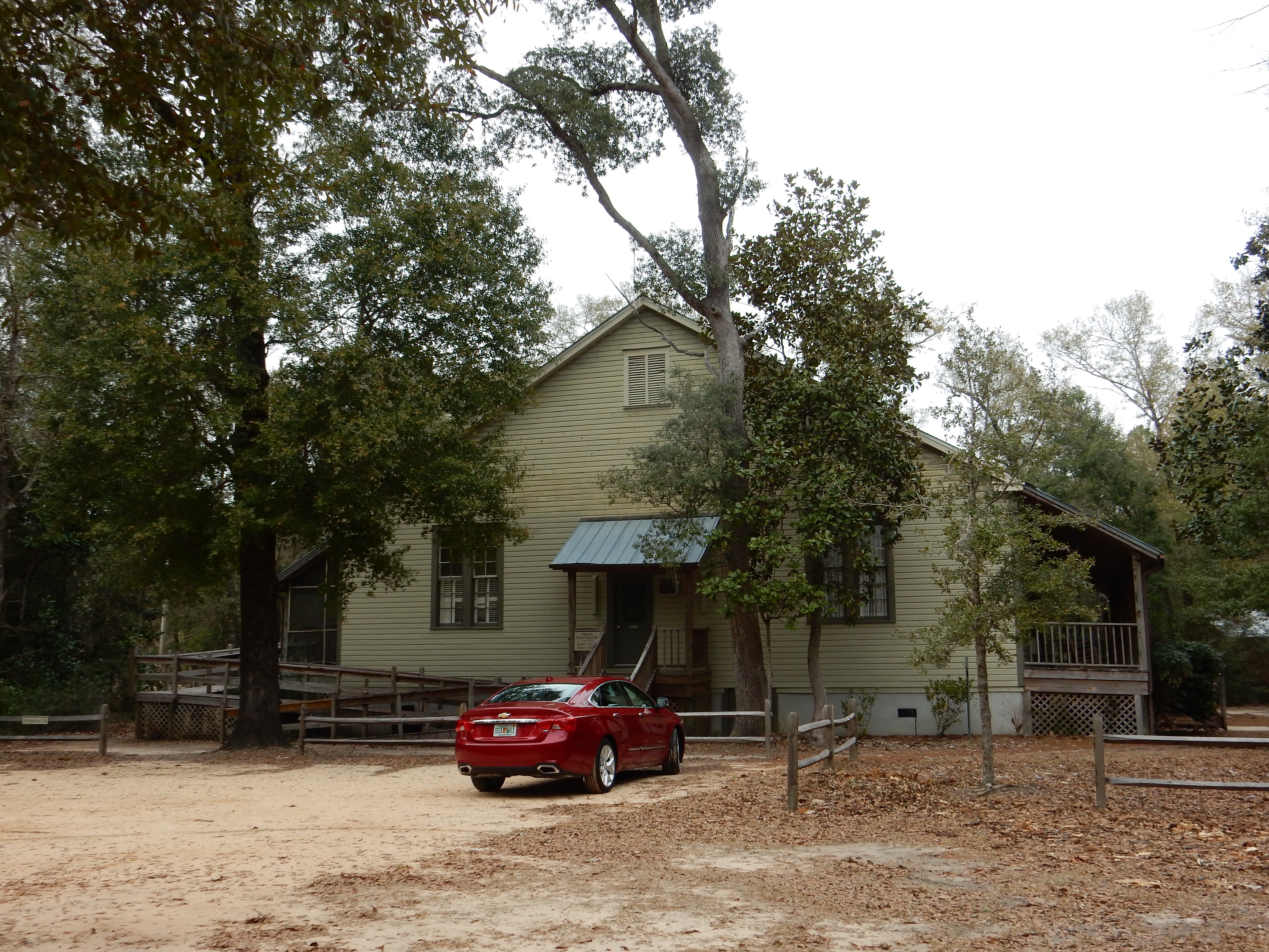
The Mansion at Eden Gardens State Park with 600 year old Live Oak in foreground
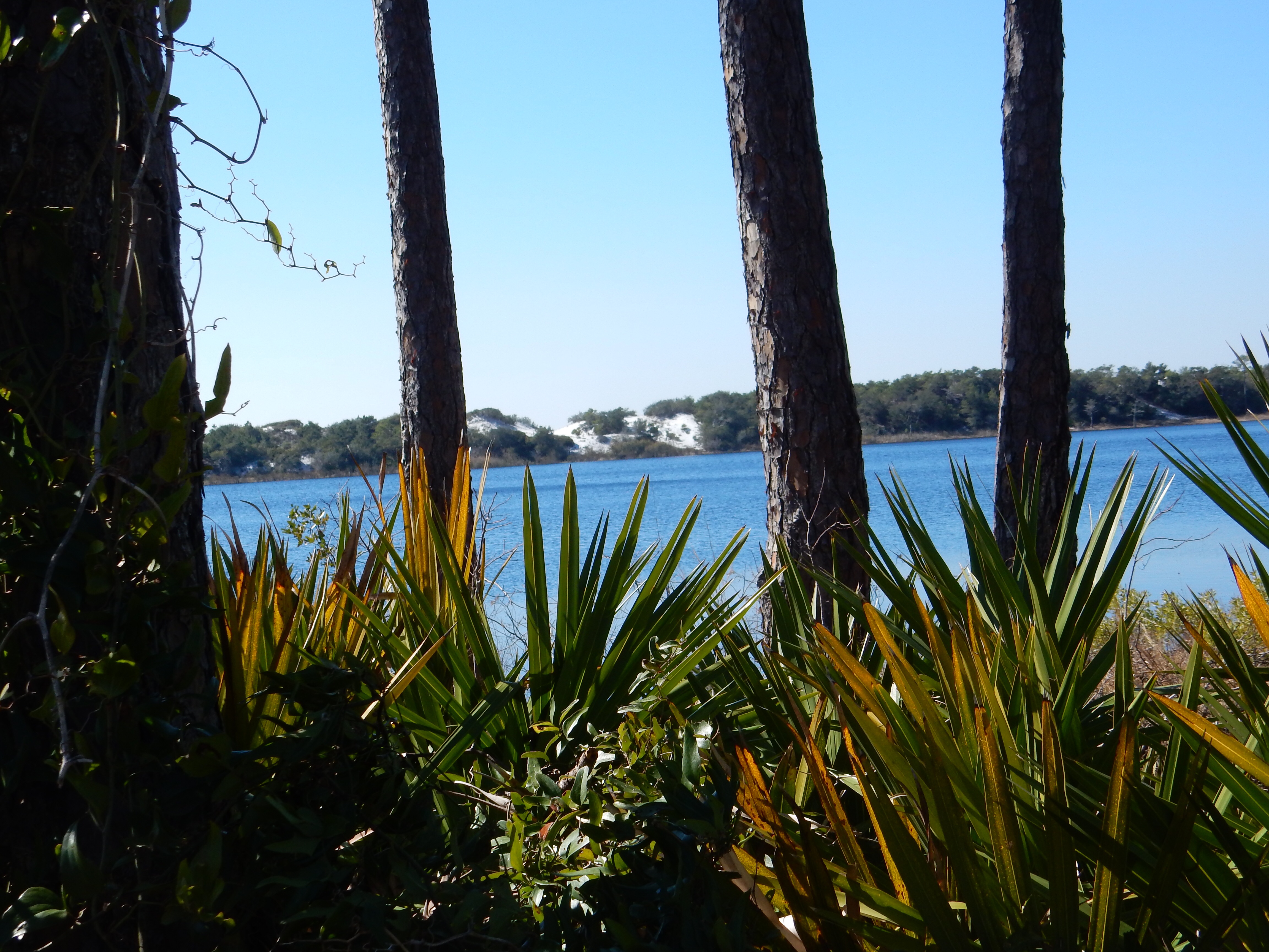
Today we headed over to Eden Gardens State Park. This is a small park, only 163 acres. The grounds have several gardens, a nature trail, and lovely trees. There is a home built by a local lumbering family, then remodeled and eventually given to the state in 1968. The house was built in 1897 by the Wesley’s who used the property as the hub for their lumber company with three mills and a dock to ship lumber. At that time, the lumber in the area was just being cut; however, it did not take too many decades before the virgin forests were exhausted. The Wesleys did not cut down the large Virginia live oaks on the property. One of them is reputed to be over 600 years old.

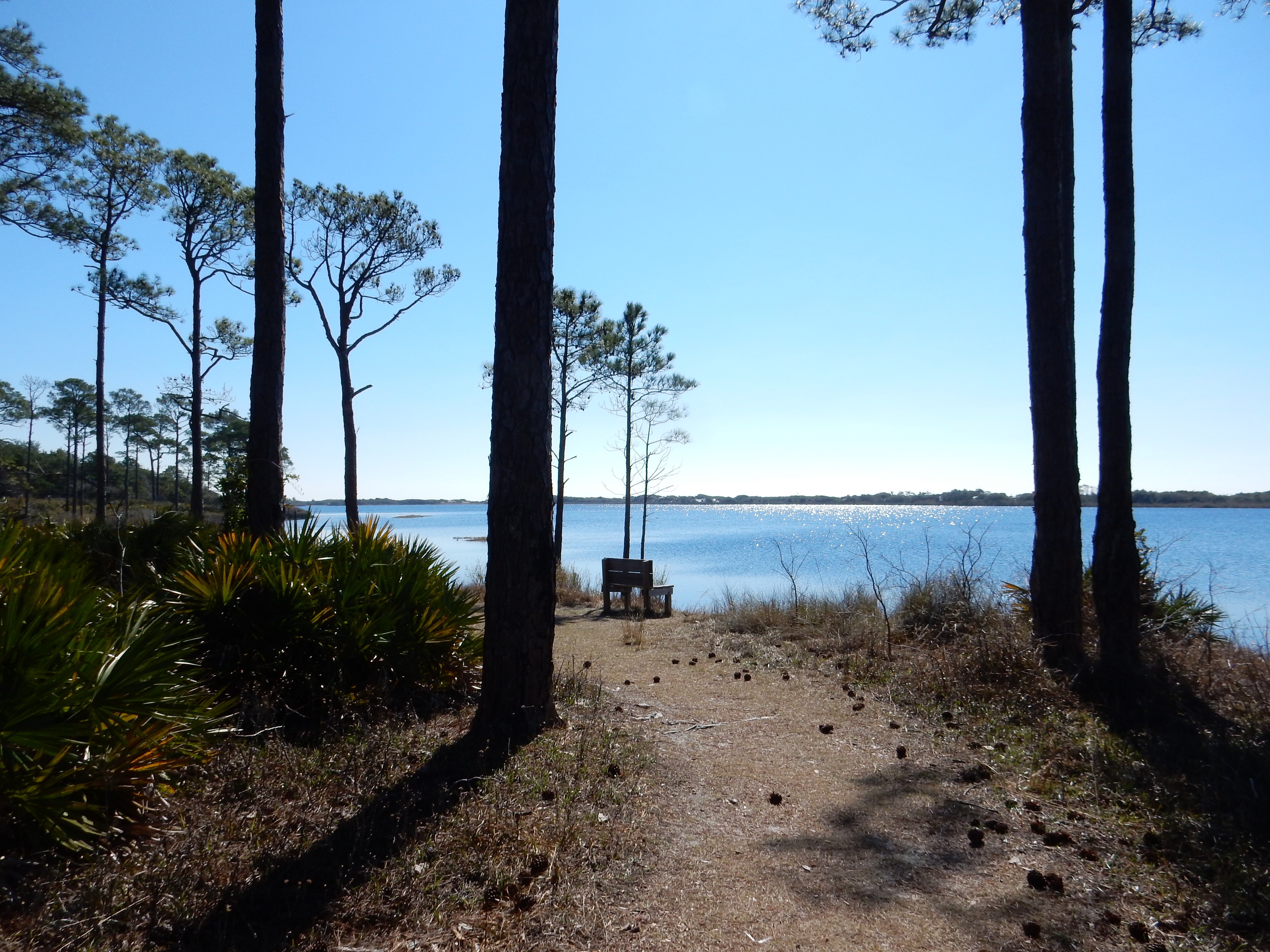
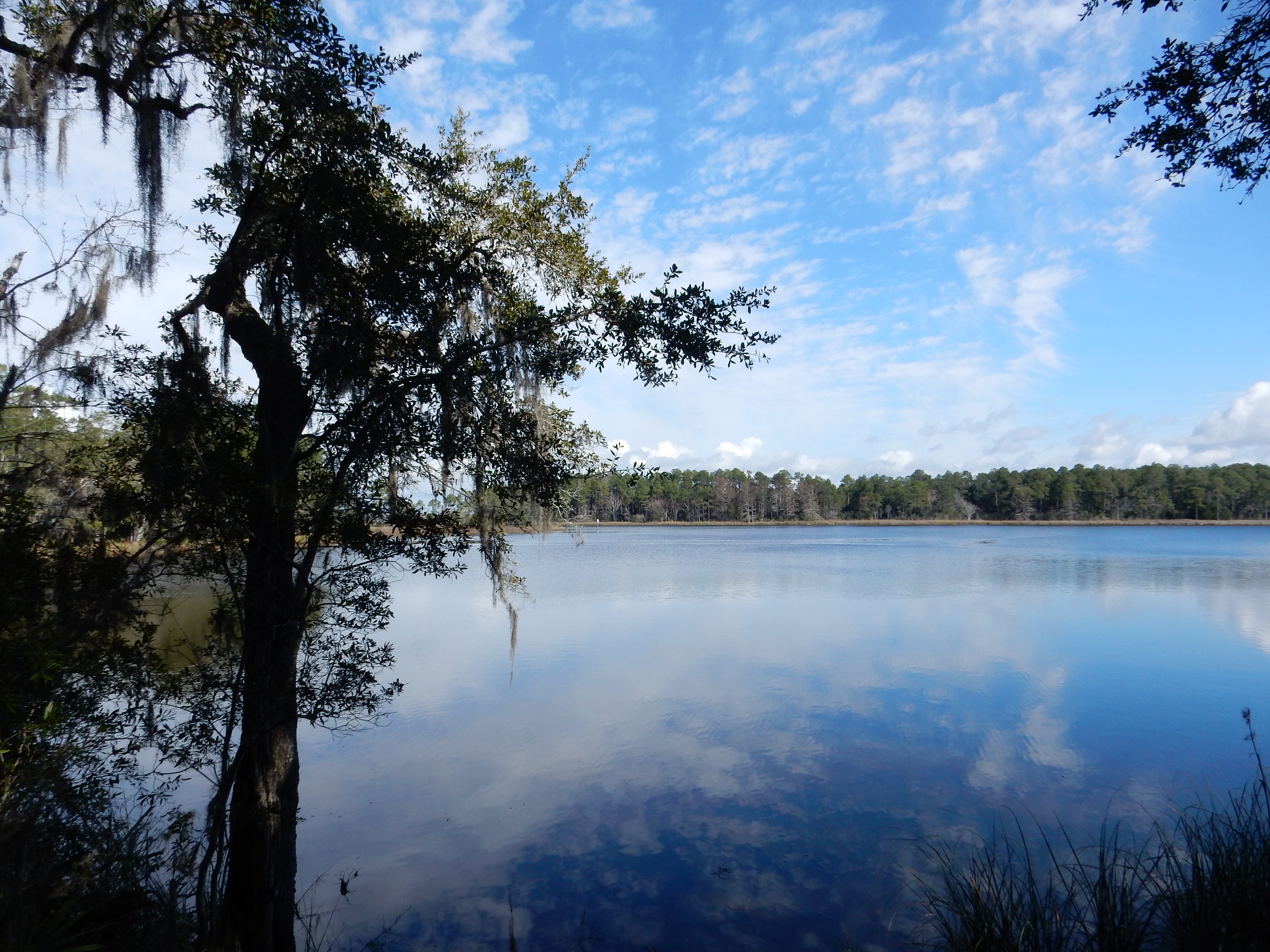
Water view at Eden Gardens leading to Choctawatchee Bay
Mrs. Wesley died in 1953 and her nine children sold the land and property. The purchaser moved 20 buildings on the property to Grayton Beach for cabins and the house remained vacant for ten years. The home was purchased in 1963 by a New York woman whose family ties were to successful businesses in Pennsylvania and Ohio. It is her furnishings and re-decorating that is observed during the house tour. She only lived here for five years before falling ill. With no children, she gave the house to the state. It is a peaceful setting inland from the beach and its hubbub.
The property and Victorian mansion are in contrast to the pastel seashore homes we visited next. Scenic Highway 30A is 20 miles of a slow route among small beach towns. Small bungalows are interspersed with large homes, apartments, and new townhouse developments. Cutesy retail establishments are located at central locations. One town, Seaside, was the locale for the 1998 movie “The Truman Show”. Several state parks are in the area; we plan to visit two of them during the next several days as we move our lodging to Topsail Preserve State Park where we have a cabin reserved.
Lunch was at a burger place in Seaside. It was actually our second choice but the first one was not as appealing as its write-up. Pickles, the burger place, has been in business since 1993 and is USDA organic, animal welfare approved, certified humane, global animal partnership, and American grass-fed beef. One of their signs said their beef all came from Georgia. I guess in Florida that is a compliment. To a Midwesterner, it was a “So What?”
The burgers and fries were very good but pricey. There was no mention if their salt was sea salt; the fries were loaded, maybe that is why they tasted so good. The shakes and malts-with ice cream specially made for them-were just so-so. But we sat out on the deck and had a relaxing late lunch.
Then it was back to the motel where we relaxed by the pool and enjoyed the sun while catching up on our reading.
Ed and Chris 9 PM Feb. 9


Recent Comments