
Revelstoke, Thursday, August 8

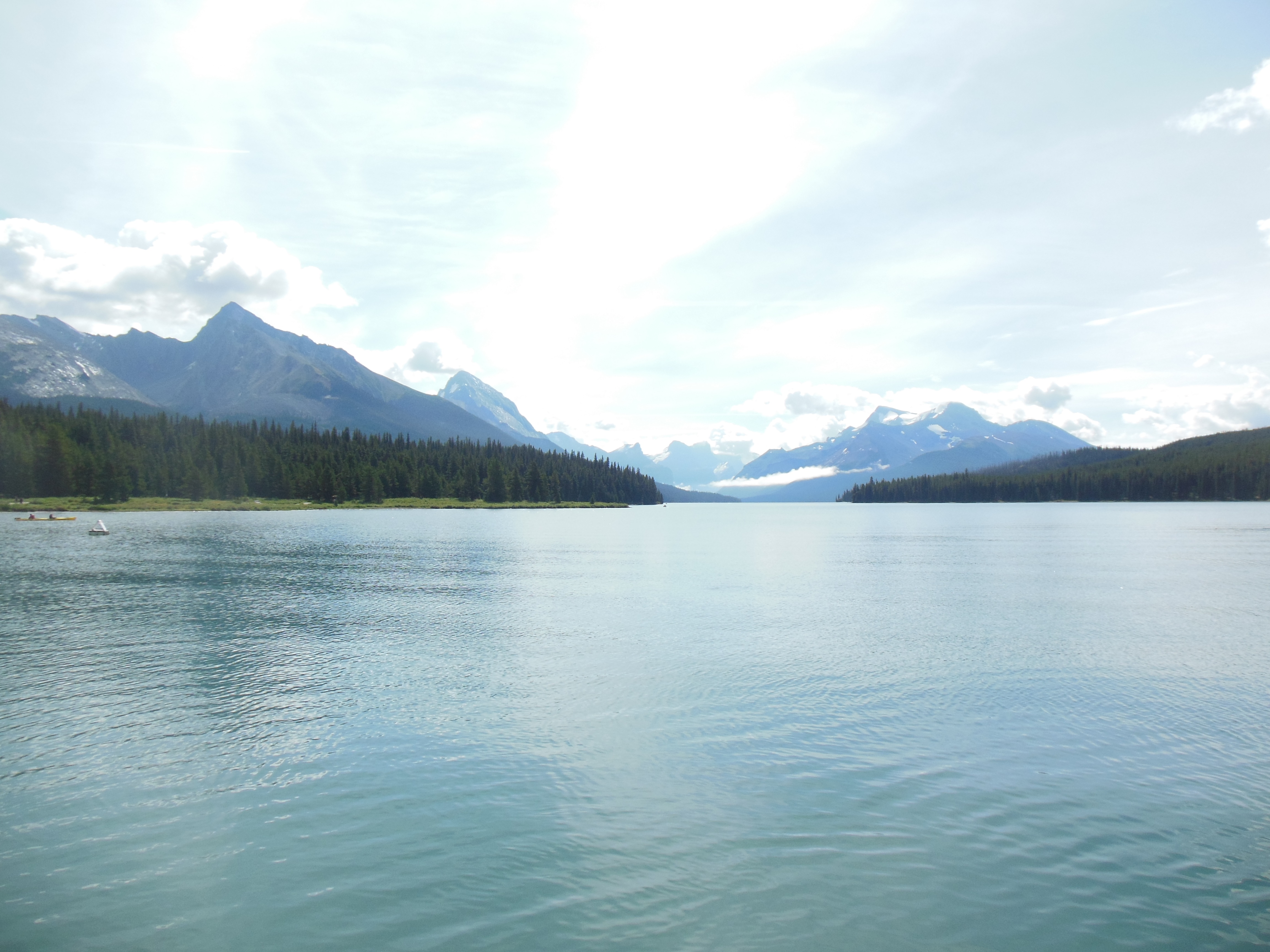
Spirit Island on Maligne Lake, Jasper National Park
One planned activity and three unexpected pleasant surprises for the day. Since Ed was doped up on anti-cold medicine, Chris got to do all of the driving today.
A boat ride on Maligne Lake in Jasper National Park was the planned activity. Maligne Lake is one of those turquoise green lakes fed by glacier rock dust. It is surrounded by three different mountain ranges. A boat ride takes you down the lake, allows you to walk around an island, and then return.
Maligne Lake Jasper National Park
Once again, the morning started up with lower level clouds so our first views of the lake were cloud covered and the mountain background invisible. The clouds lifted, however, and the views ended up being dramatic.
The lake is pretty much surrounded by three different mountain chains. It was “discovered” by Mary Shaffer who also promoted it as a place to be preserved as a park. We had heard of Mary Shaffer when we visited the Banff National Park. She was a wealthy American widow who did a lot of exploring in the Canadian Rockies. The Canadian government actually asked her to survey the lake area. (She had no formal surveying experience.)
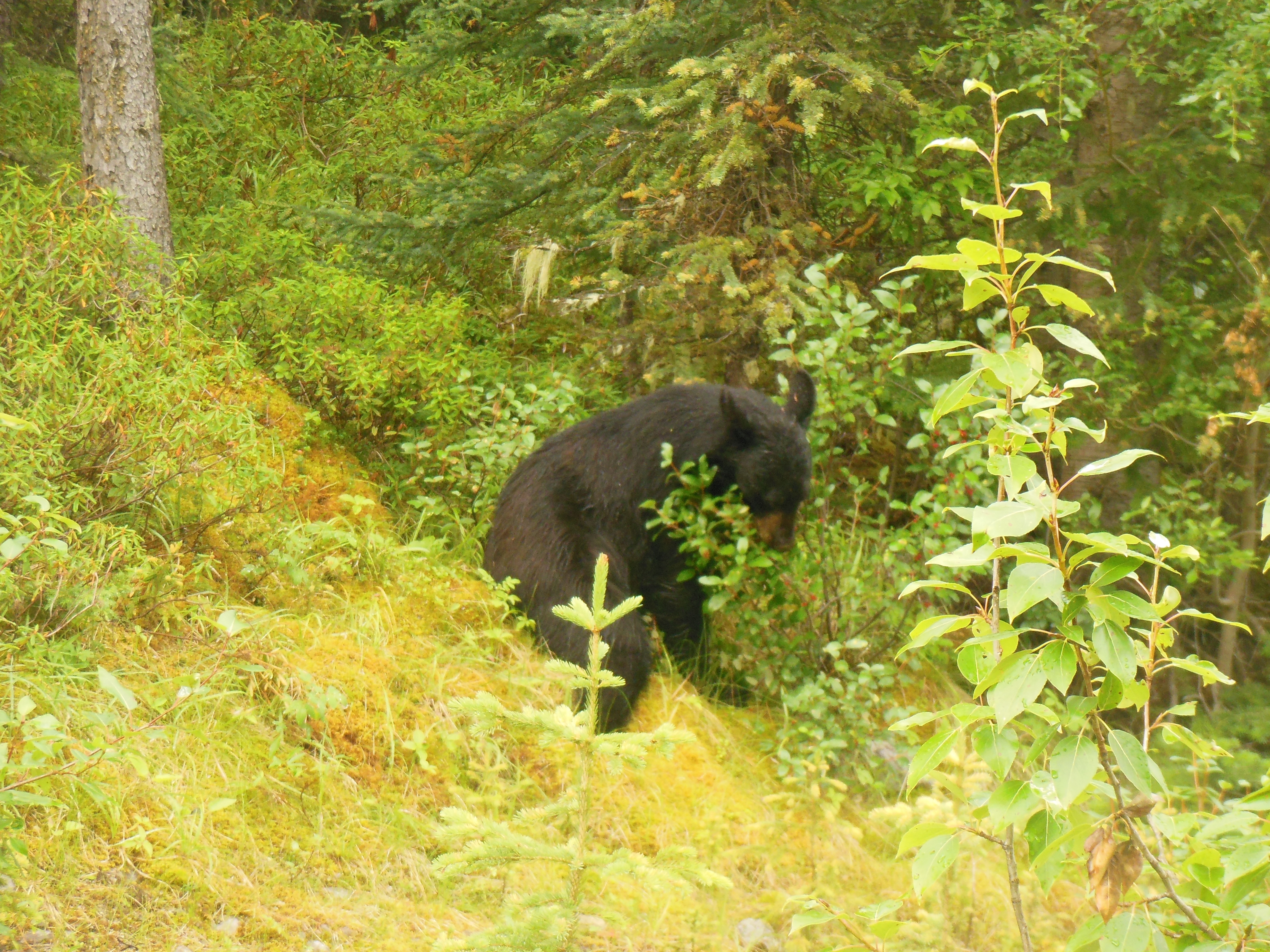
First black bear in Jasper Park
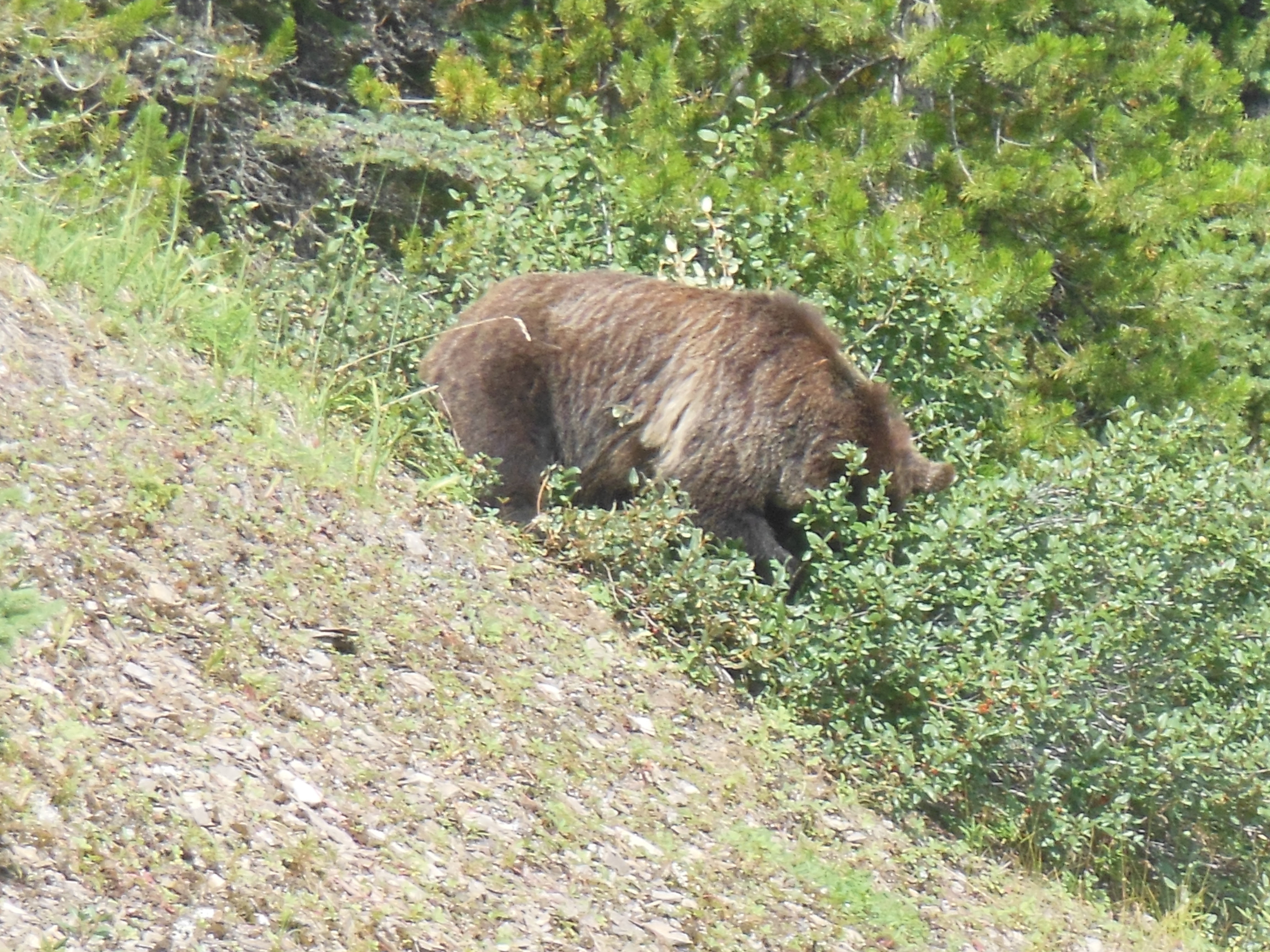
Grizzly bear in Jasper

Three cubs crossing the road in Jasper Park
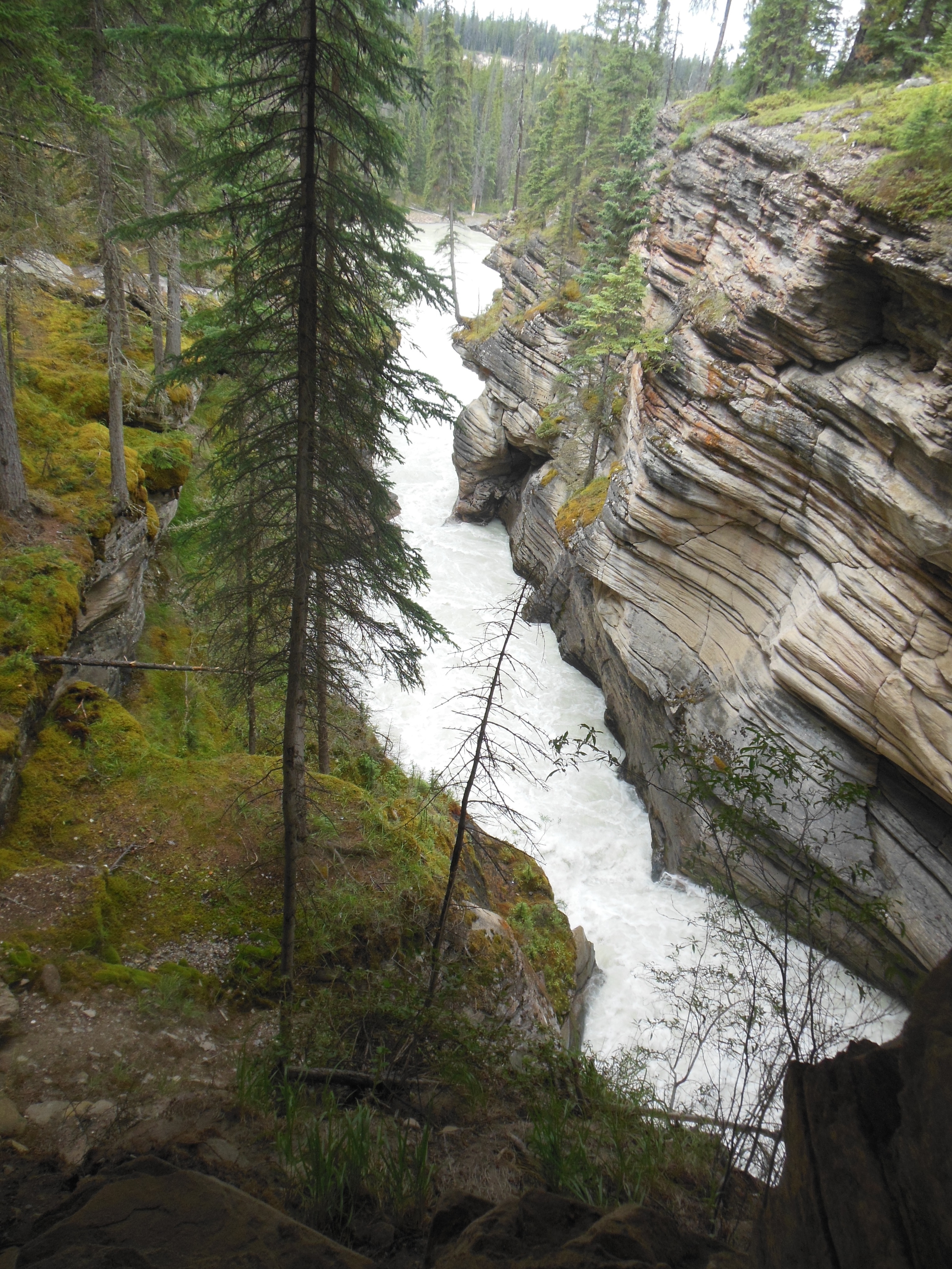
On the way up to Maligne Lake, we stopped at Medicine Lake. The Maligne river feeds the lake. An interesting fact about the lake is that each year by fall, the lake rascally dries up. (Does this have parallels to White Bear Lake?) The lake has a remarkable system of underground channels, sieves, what have you that takes the water out of Medicine Lake and the river reappears downstream flowing through a rock gorge.
Medicine Lake was not one of the unexpected surprises though. The first surprise was on the way to Maligne Lake, we saw a black bear feeding on berries alongside the road. Then we saw a grizzly bear feeding along the road. Finally, we saw a mother black bear and three cubs crossing the road in front of us. A very pleasant surprise to savor as we drove from Jasper National Park in Alberta to Revelstoke in British Columbia.

Spiral tunnels

Diagram of spiral tunnels
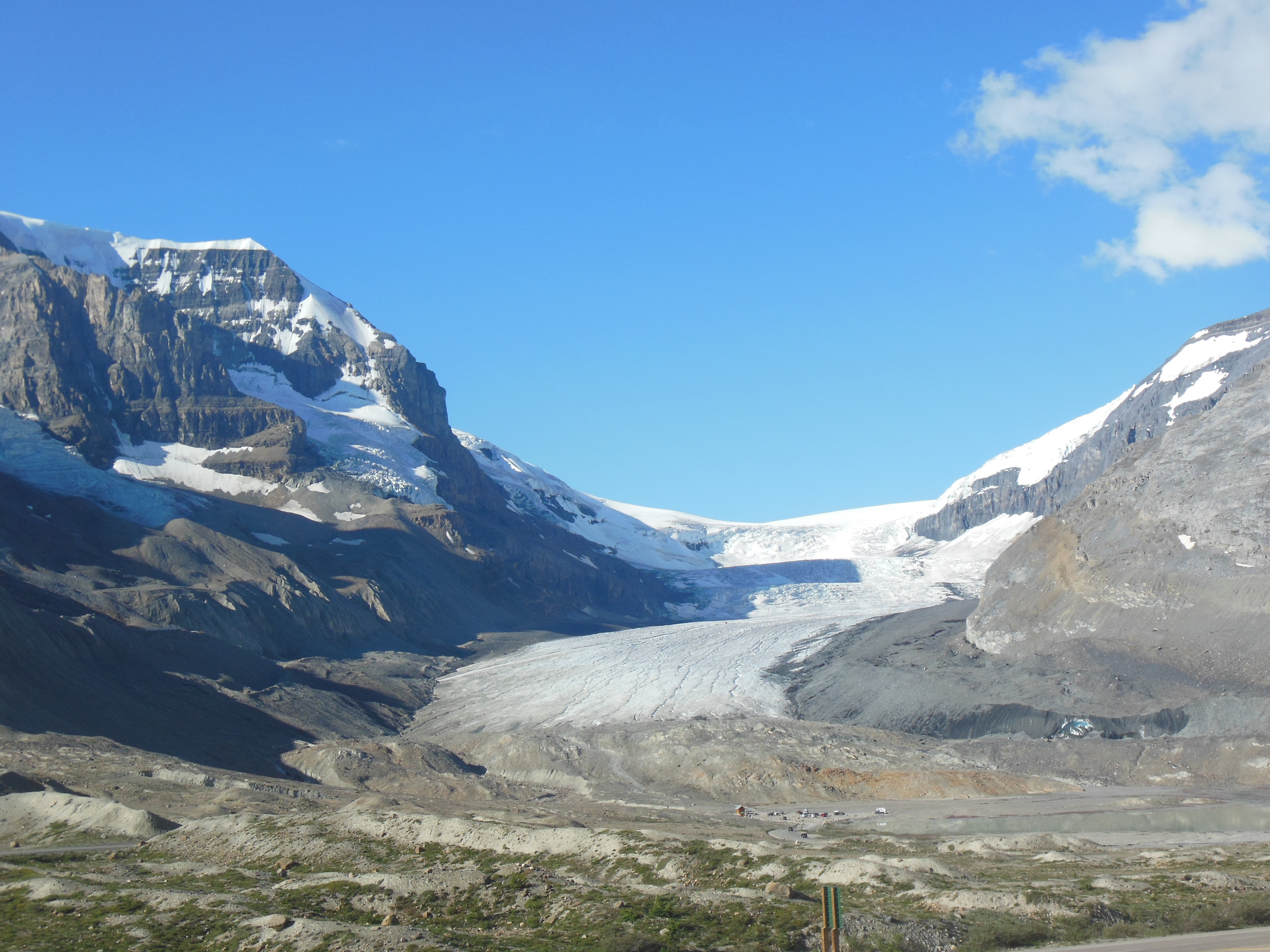
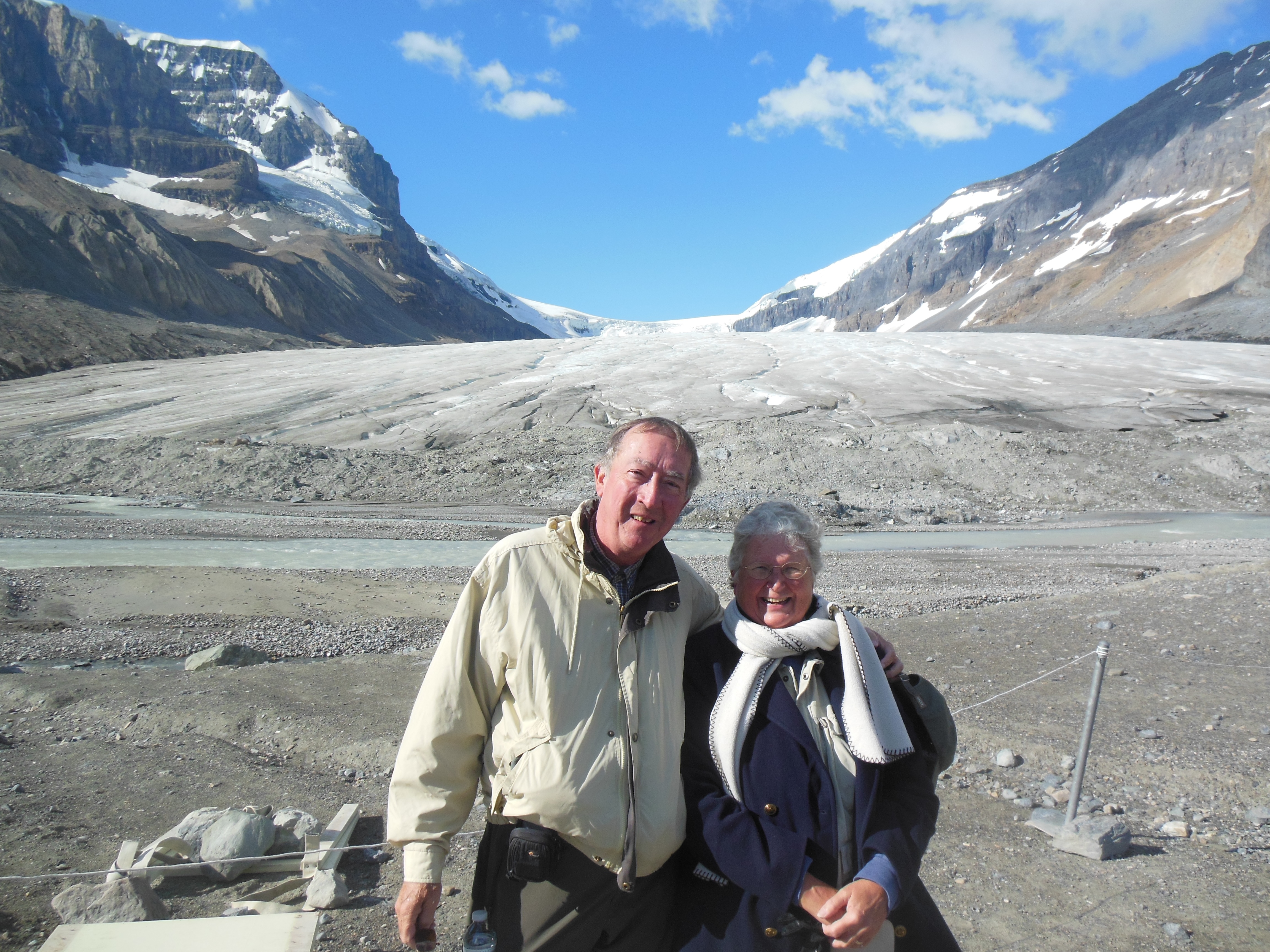
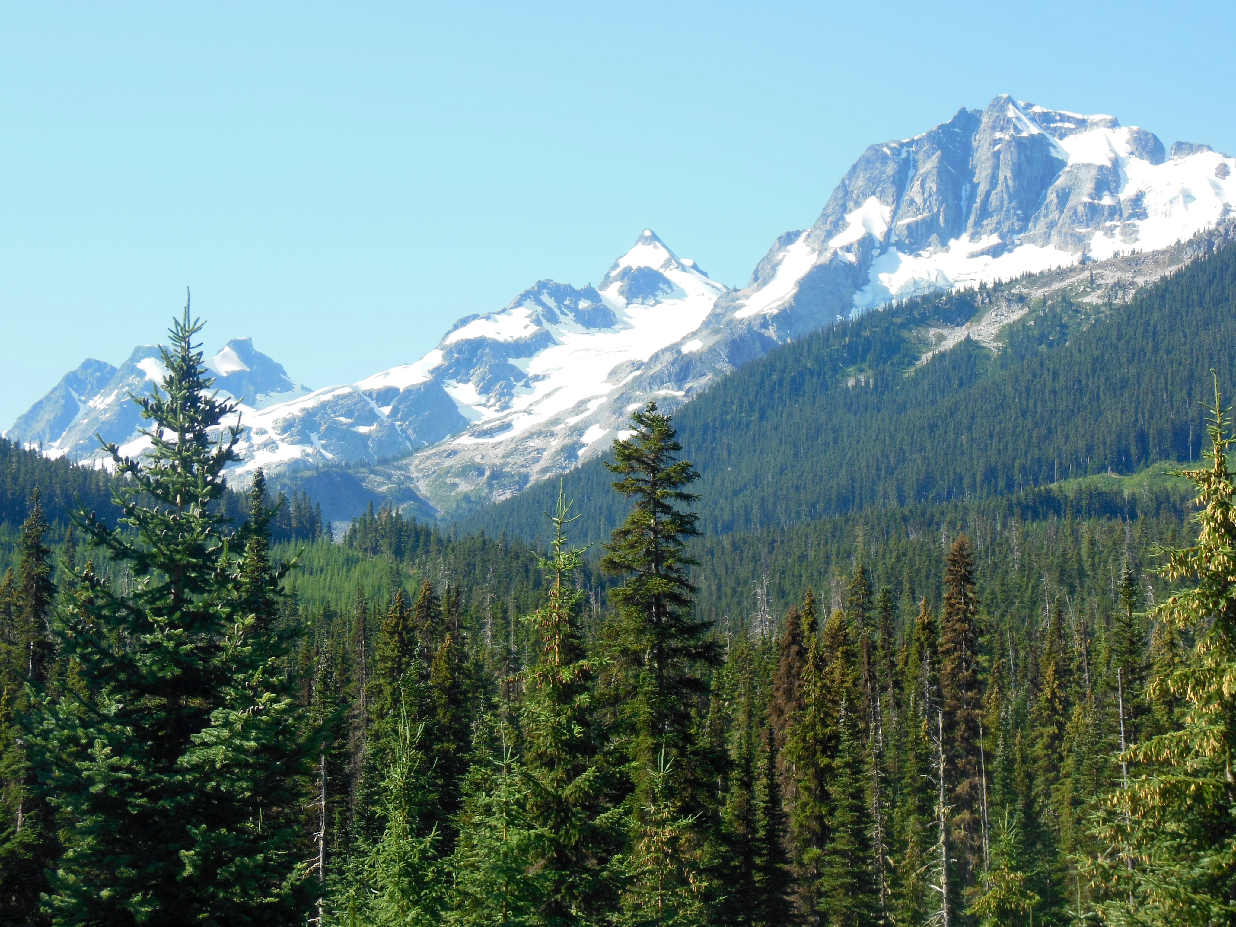
The drive to Revelstoke began with our journeying along the Icefields Parkway. Since we have driven it before, we were able to make the drive the 140 miles without any sightseeing delays. The views are still fantastic the second time through.
We went over the Canadian Rocky Mountains for the fourth time. This pass just west of Lake Louise is called the Kicking Horse Pass and is part of the Trans Canada Highway. Surprises number two and three came here among the steep mountain cliffs and narrow valleys.
We had read of the Spiral Tunnels but had not fully understood them. They were created by the Canadian Pacific Railway as part of its rail line crossing the Rockies. In essence, the rail line goes through a spiral loop inside a tunnel mountain in order to reduce the grade at which it will have to climb the mountain. I will include a picture of the diagram on display at the sight to better illustrate it. This was a big deal to the trains of that time (and now) and somewhat unique.
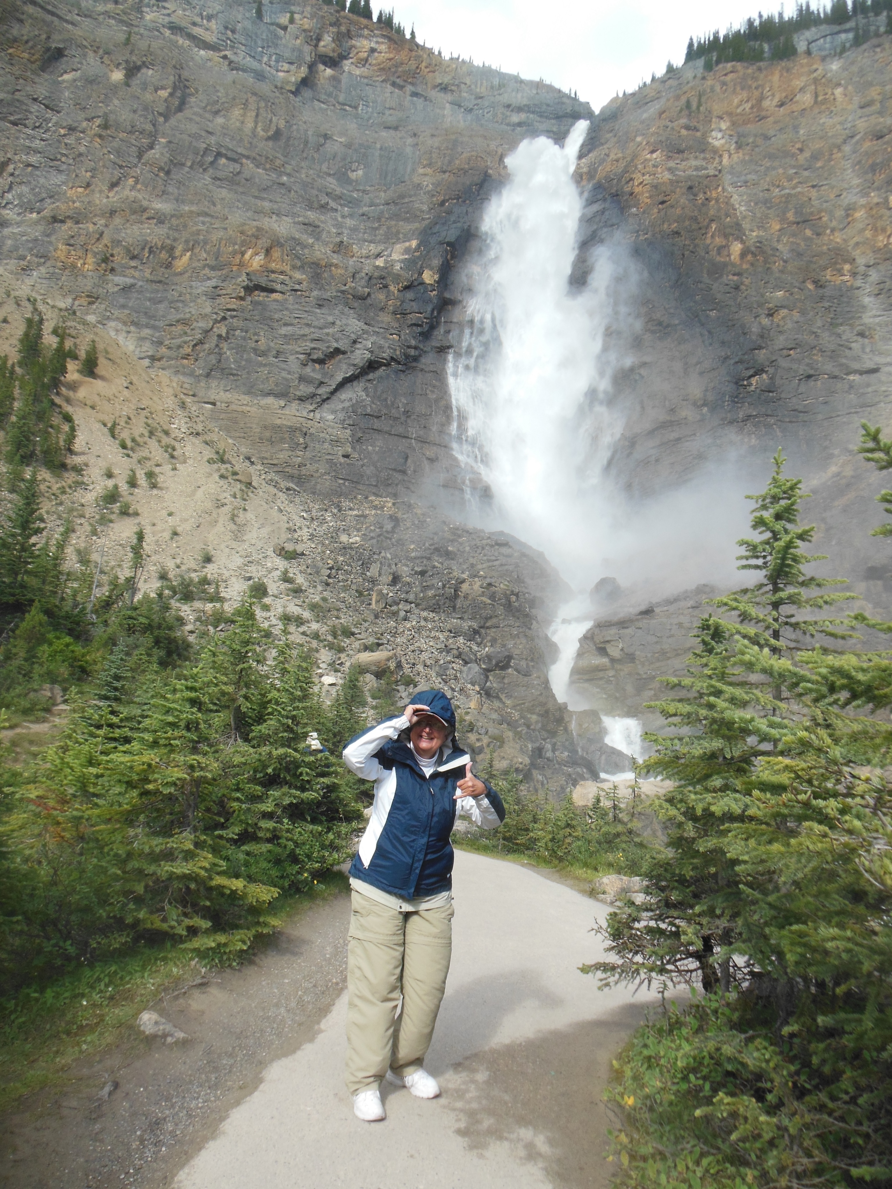
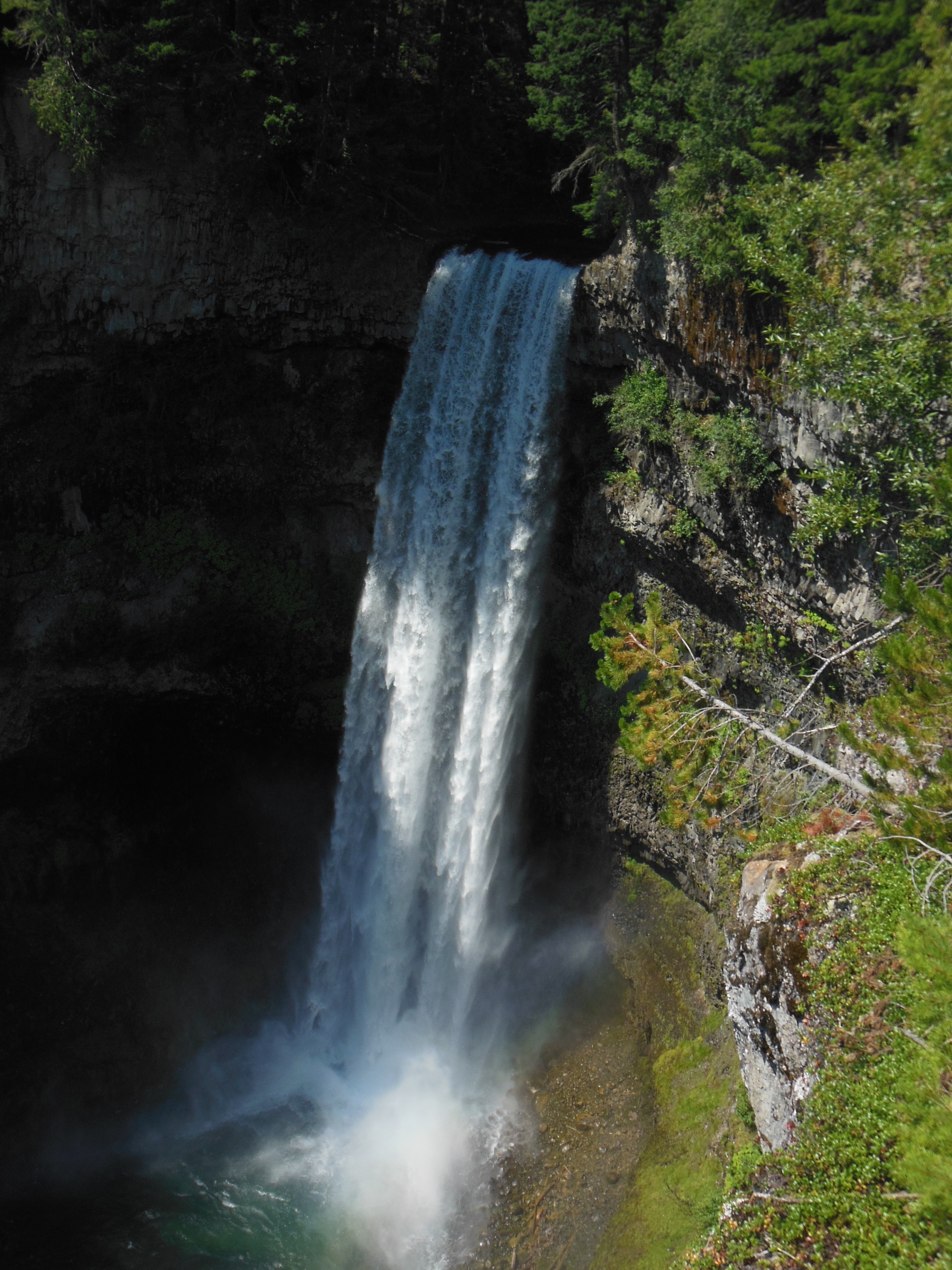
Takakkaw Falls in Yoho National Park
We arrived at the road side viewing site and were lucky enough to watch a train as it traveled through this area. We saw the long train in three separate pieces, before it entered the tunnel, as it exited the tunnel and as it made its way up to the mountain to enter the second spiral tunnel. The third viewing was through tree leaves so I am not sure you will find the photo clear evidence.
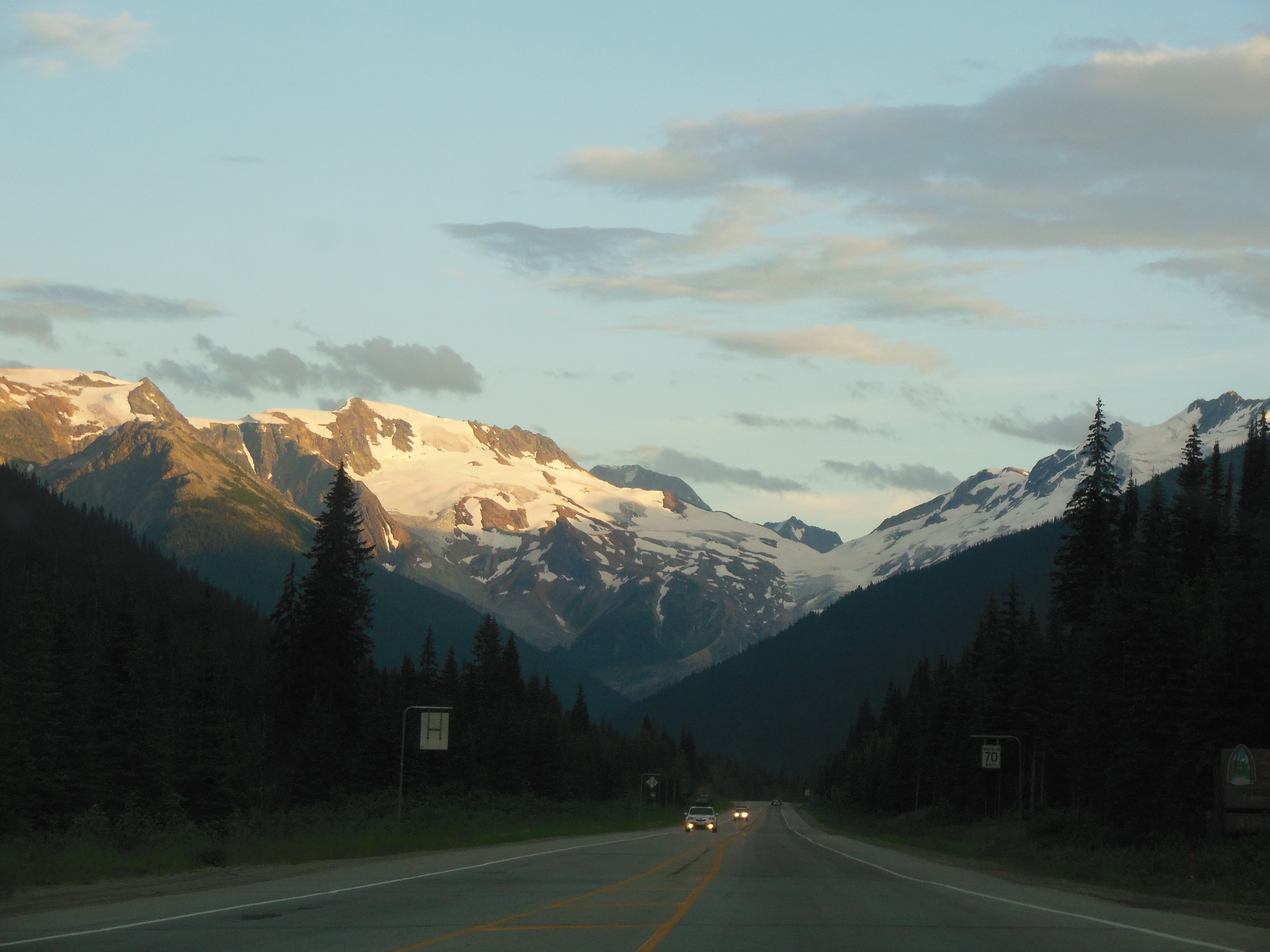
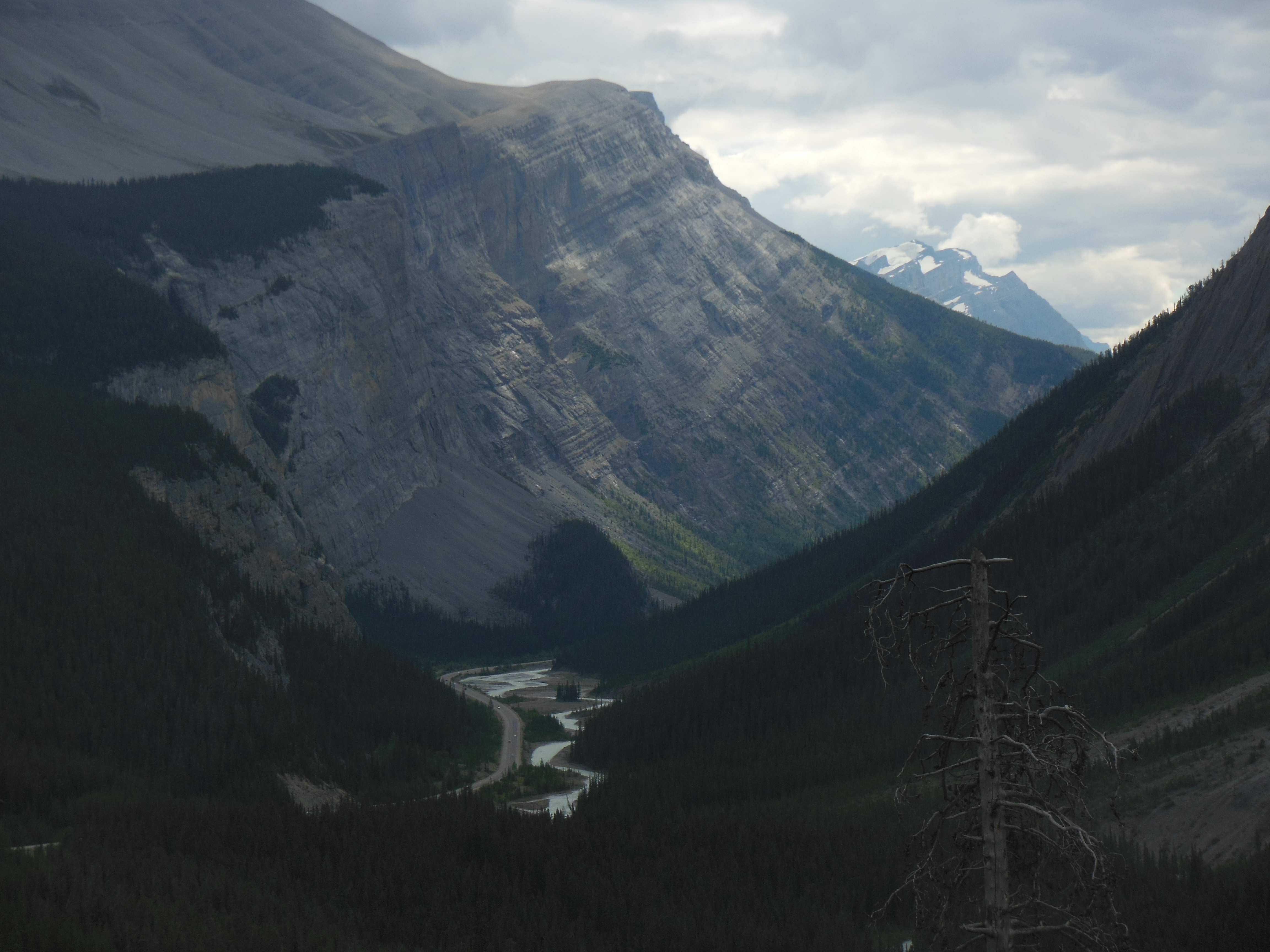
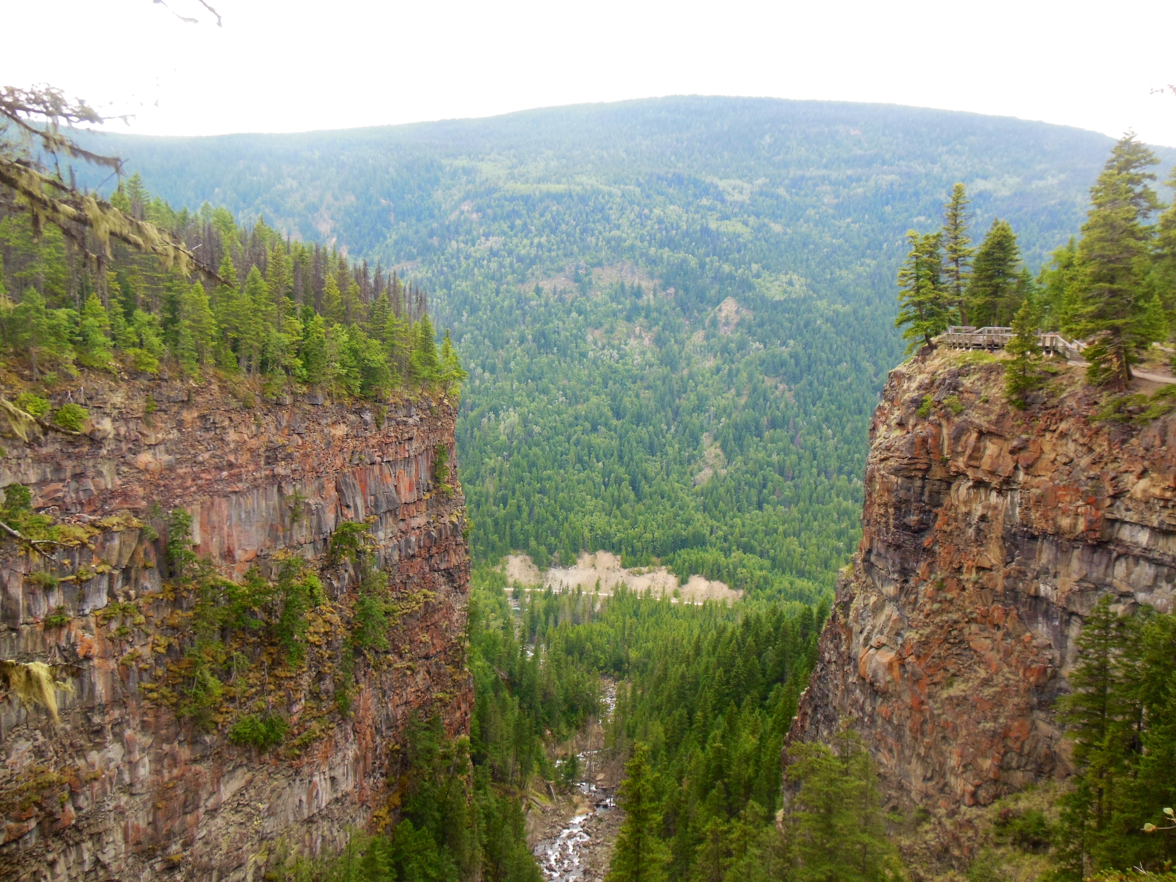
Rogers Pass area by Glacier National Park of Canada
Our Evergreen host in Victoria had mentioned that he was involved in the construction of one of the new bridges along this Kicking Horse Pass. We planned to take a photo and email it to him. There was still construction on the road and we feared somehow we had missed the bridge.
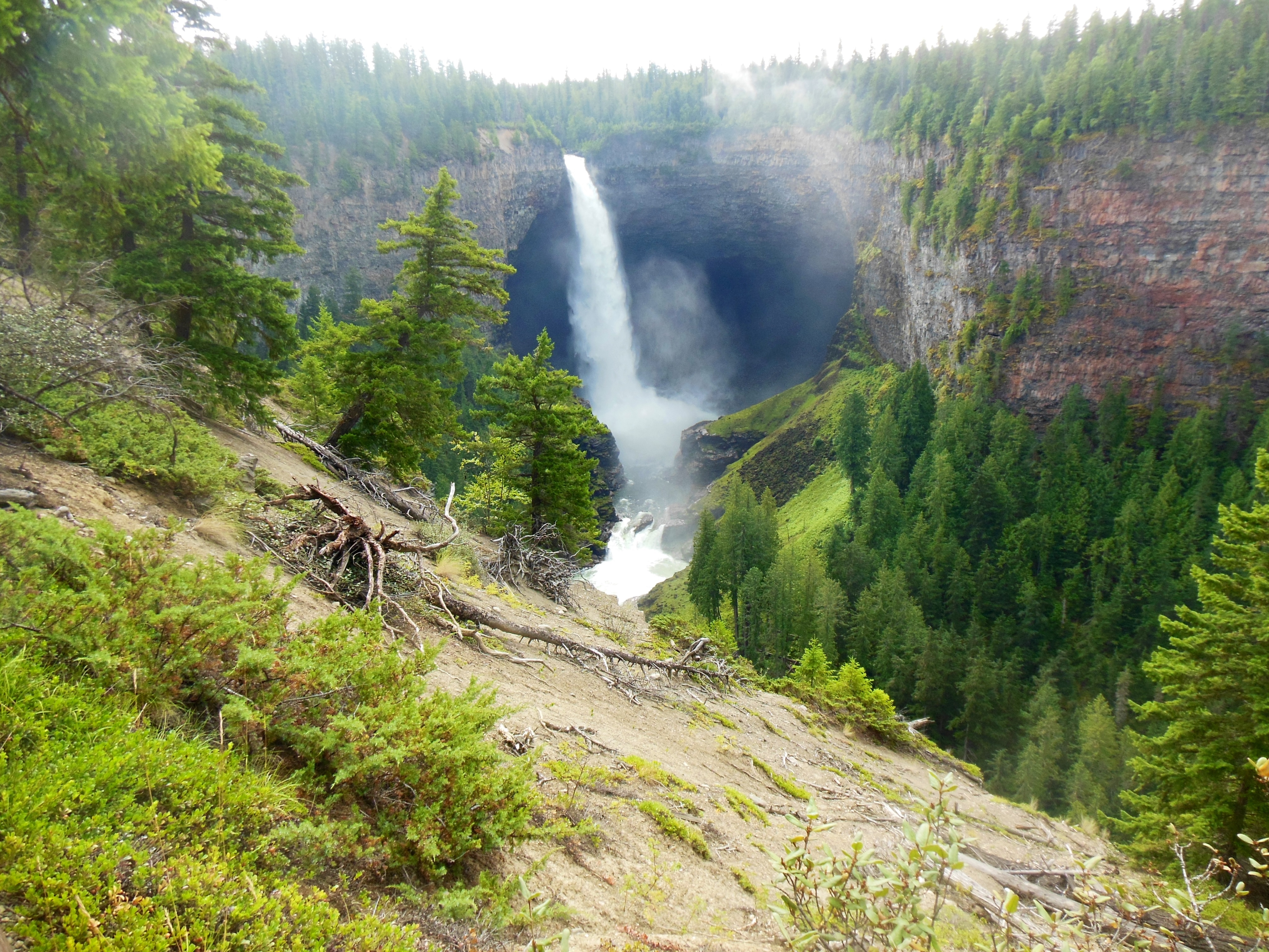
Finally as we reached the end of the 10 mile long route through the pass, we saw the bridge and pulled over to view it and shoot it. At the same exit was an entrance to Yoho National Park and Takakkaw Falls. Since Ed had been nursing a cold, we were not planning to doing any hiking in this park. It is a mountainous one, with 28 peaks over 3000 meters (about 9800 feet).
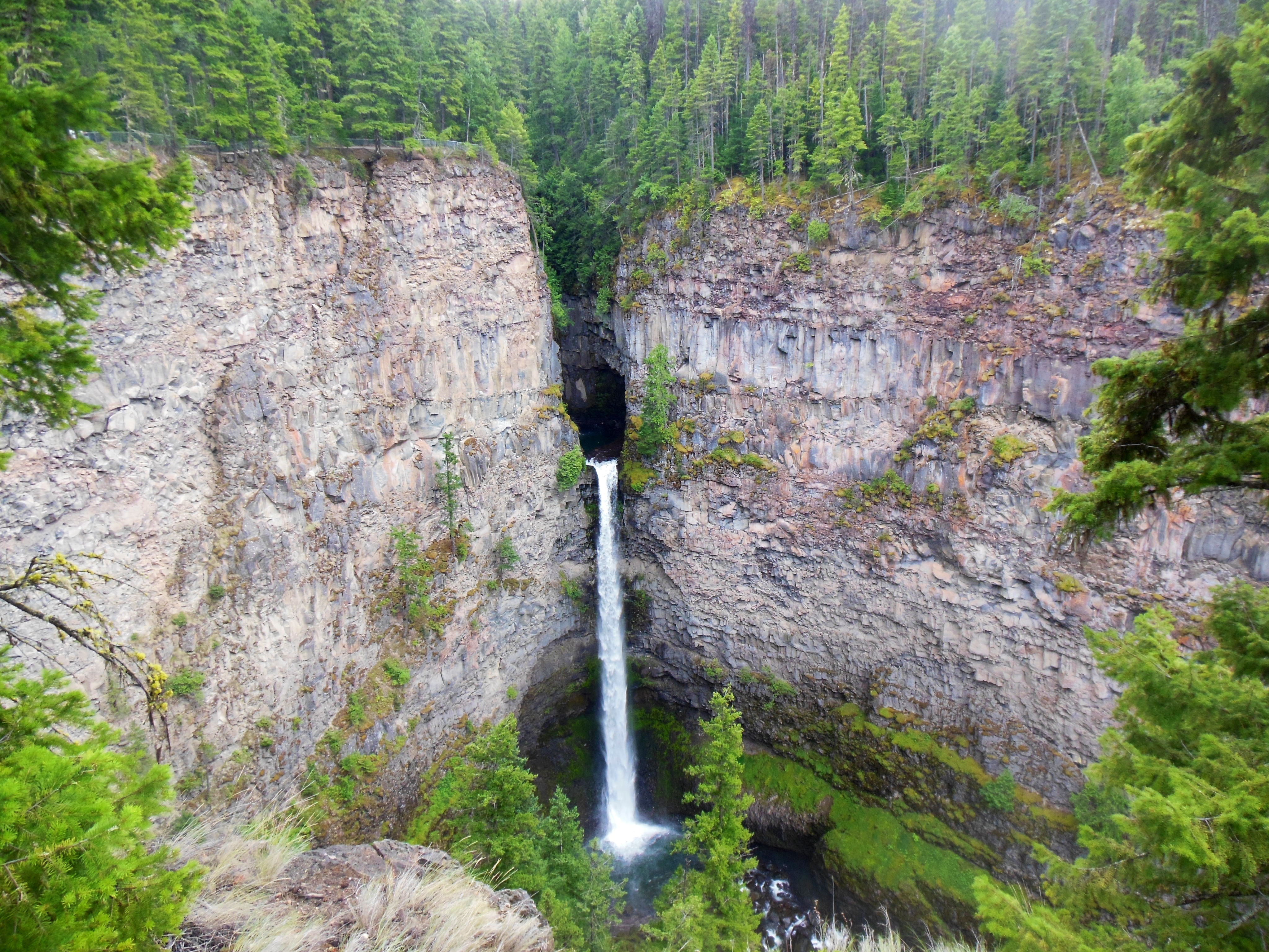
Takakkaw Falls was our unexpected surprise number three. It was only a five-mile drive in from the Trans Canada and a short hike to the falls from the parking area so we went for it. The falls are 1,000 feet tall and were quite impressive. We brought wind/rain jackets. The falls create a cold down wind draft and the mist blows into you as you view the falls from the base. The sky was too cloudy to provide any meaningful rainbows.
The drive to Revelstoke was still another 100 miles. The route continued through mountainous terrain and impressive peaks and Rogers Pass. Part of the Rogers Pass route was through “snow sheds”. These are buildings, pioneered by the railroads, to protect the pathway from avalanches. Given the steep slopes, narrow valleys, and heavy snowfalls, snow avalanches and mud slides are common in this area.
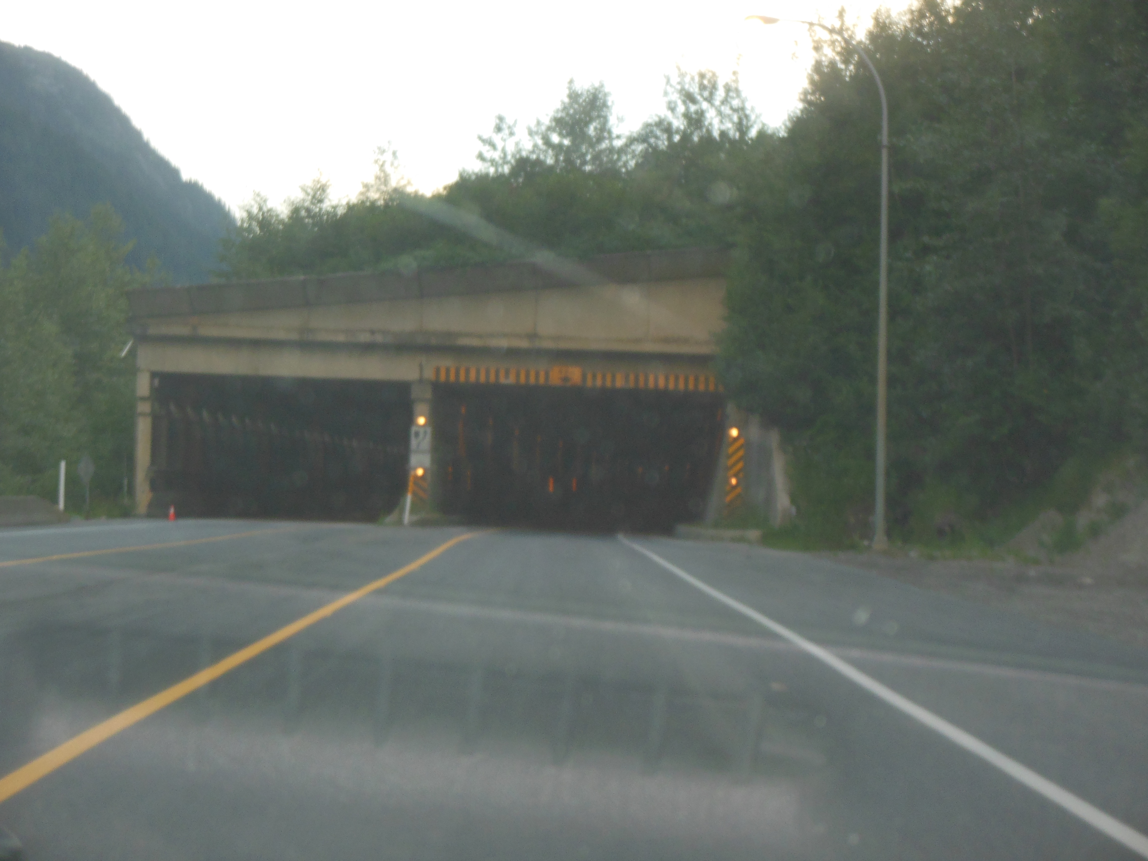
Snow shed on Trans Canada Highway near Rogers Pass
The railroads suffered severe losses of personnel due to avalanches over the years. We saw one shed near the Spiral tunnels for the railroad which included a man-made chute to direct the avalanches into a safe corridor. We saw a monument to a tragic one at the summit further along where the Trans Canada roadway was officially completed connecting eastern and western Canada.
Finally we drove through Glacier National Park of Canada and arrived at our hotel in Revelstoke. Quick to bed for healing purposes and thus this post is a day late.
Ed and Chris August 9 10:45 pm


Recent Comments