
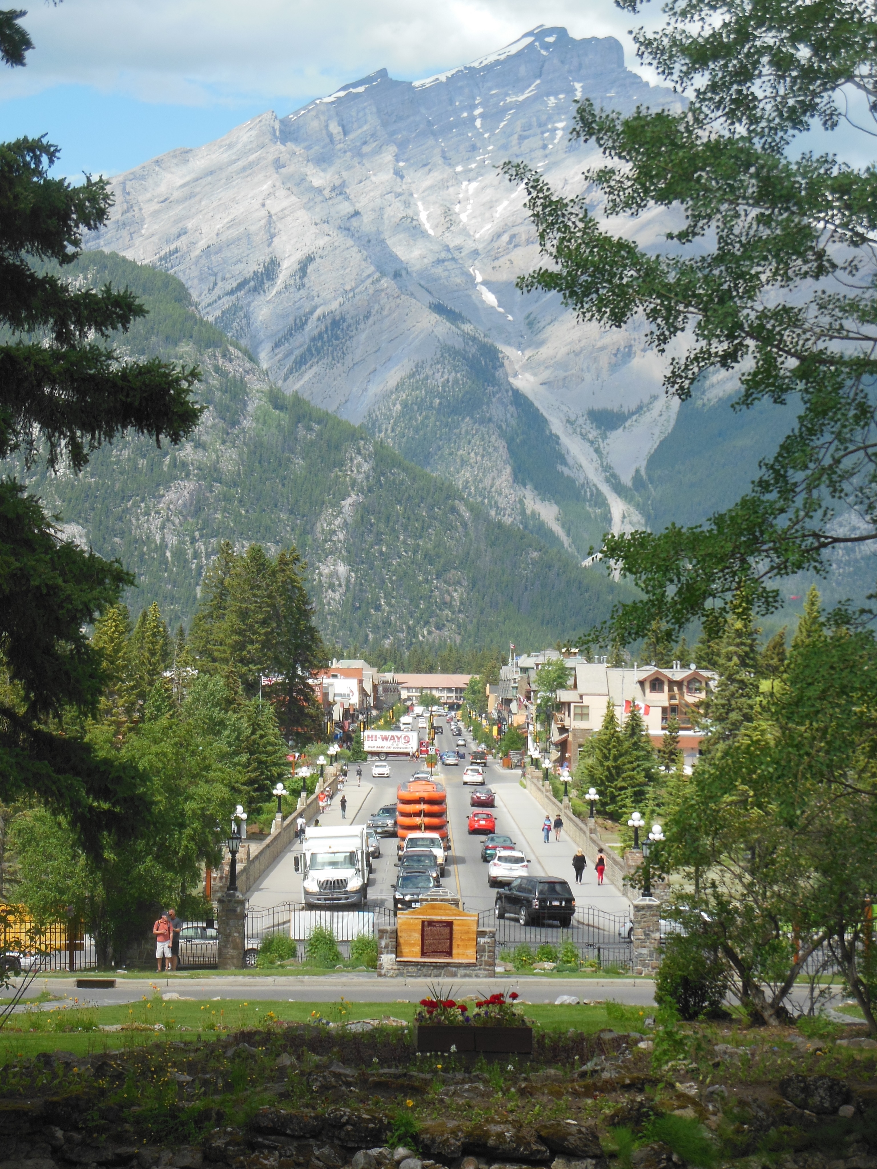
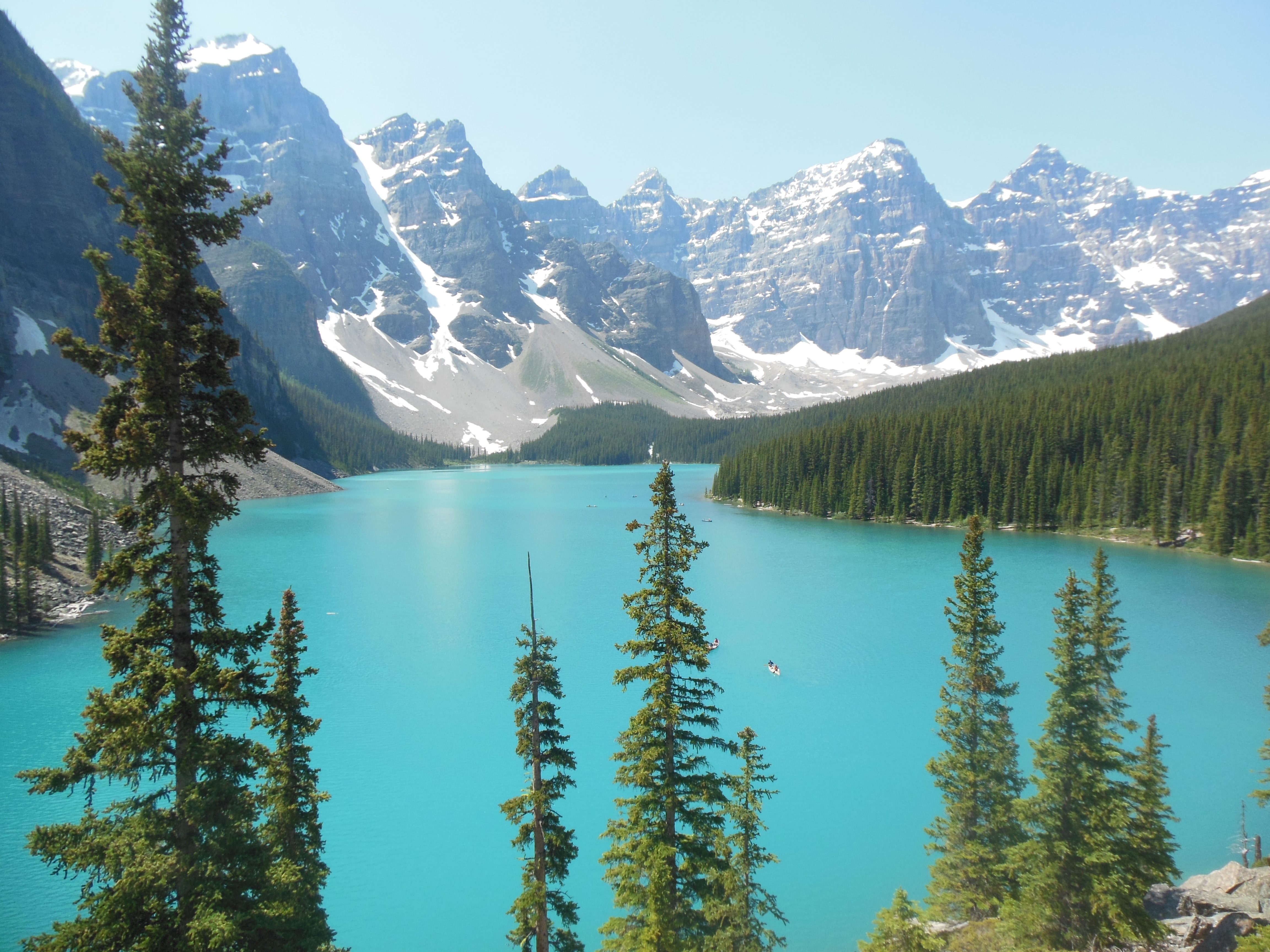
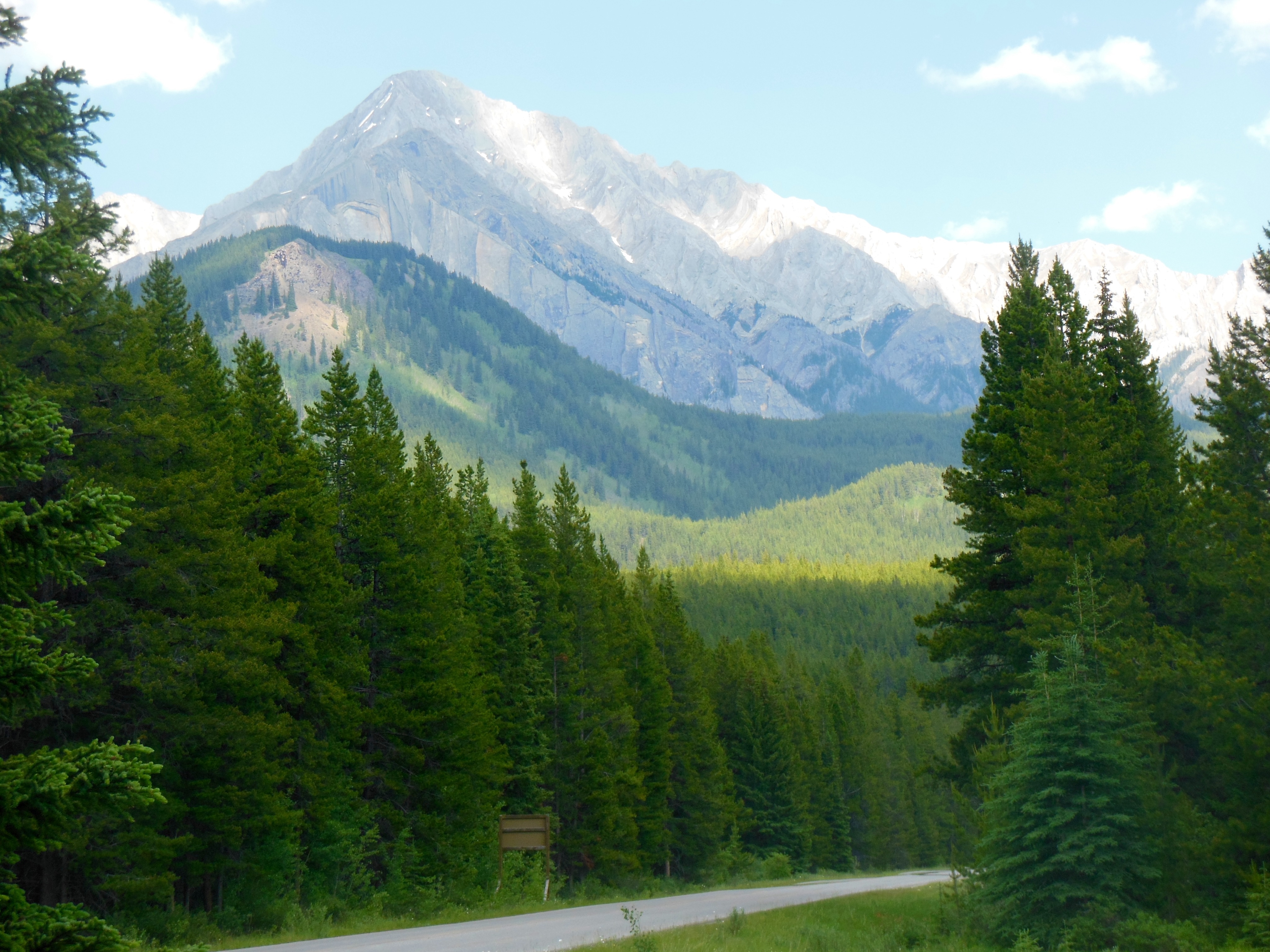
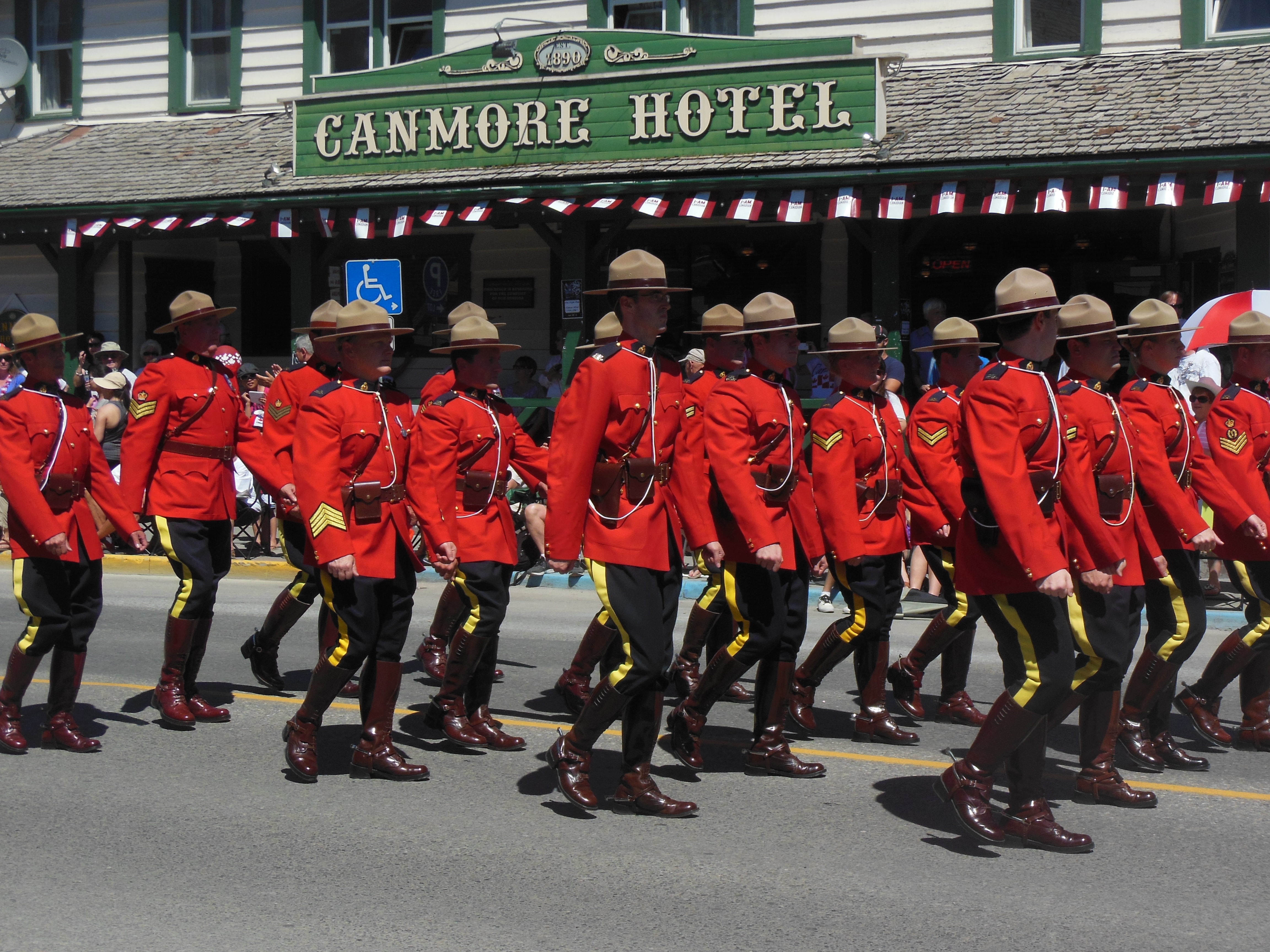
Calgary, July 9, Tuesday
YaaHOOO. It was Calgary Stampede day. If you did not have a cowboy hat on today, you were not into it. Luckily our Evergreen hosts had extras and two of them fit us. So we were people in the know.

Ed at the Stampede grounds
We rode the light rail down with our Evergreen hosts and two friends of theirs. The stampede grounds are just south east of downtown Calgary. We spent the day there.
The highlight of the day was a three hour rodeo. This included bronco riding, barrel riding, bareback horse riding, calf roping, bull riding, etc. In the calf roping, I think the score was about equal between the calves and the cowboys. A cowboy from Minnesota won the bronco riding. We had seats in the shade which was great since the day was sunny, temps in the 70s with a light breeze.

barrel riding
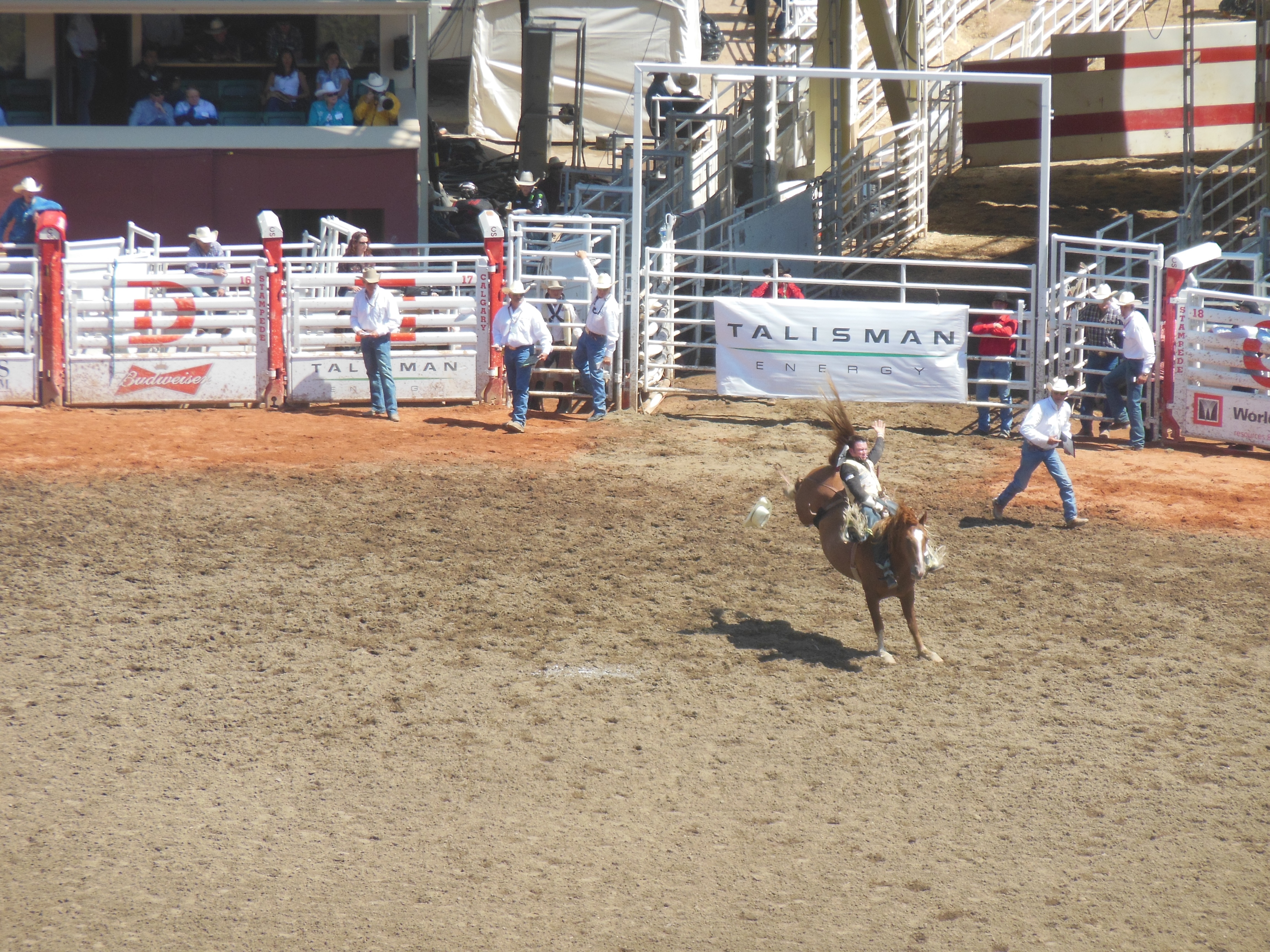
bronco riding at Stampede
We avoided most of the fair type food, thinking we will experience enough of that at the end of August at the Minnesota state fair. We spent plenty of time wandering the grounds exploring the animal barns, vendors, and the First Nations display.
During stampede time, the people of Calgary sponsor numerous free meals. There are several free pancake breakfasts every day. These are scattered around the metropolitan area. Tomorrow our hosts are going to a barbecue lunch. This one does have a two dollar charge, but all of the proceeds are being donated to flood relief.

Grandstand 2.5 weeks ago

Grandstand today
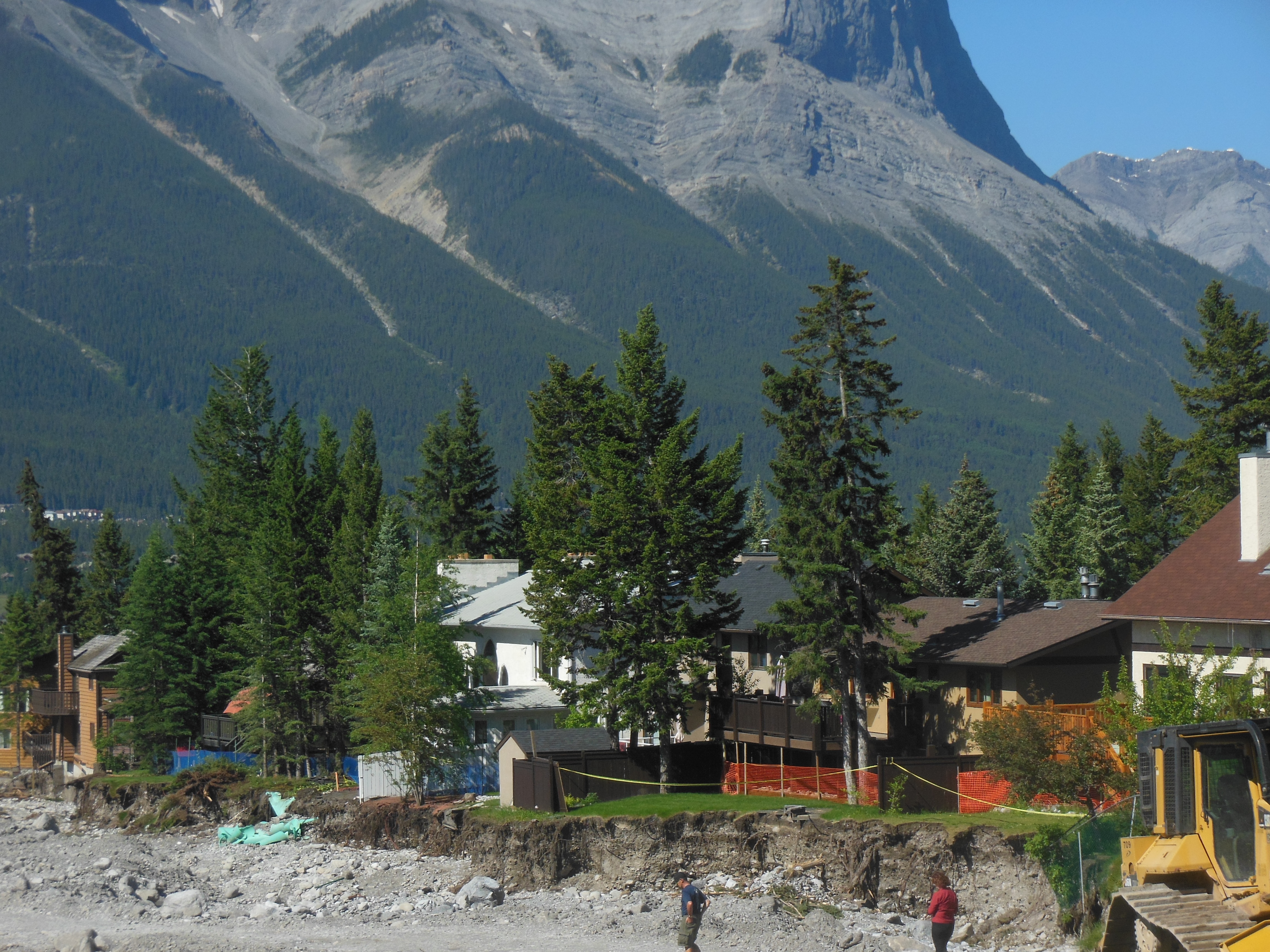
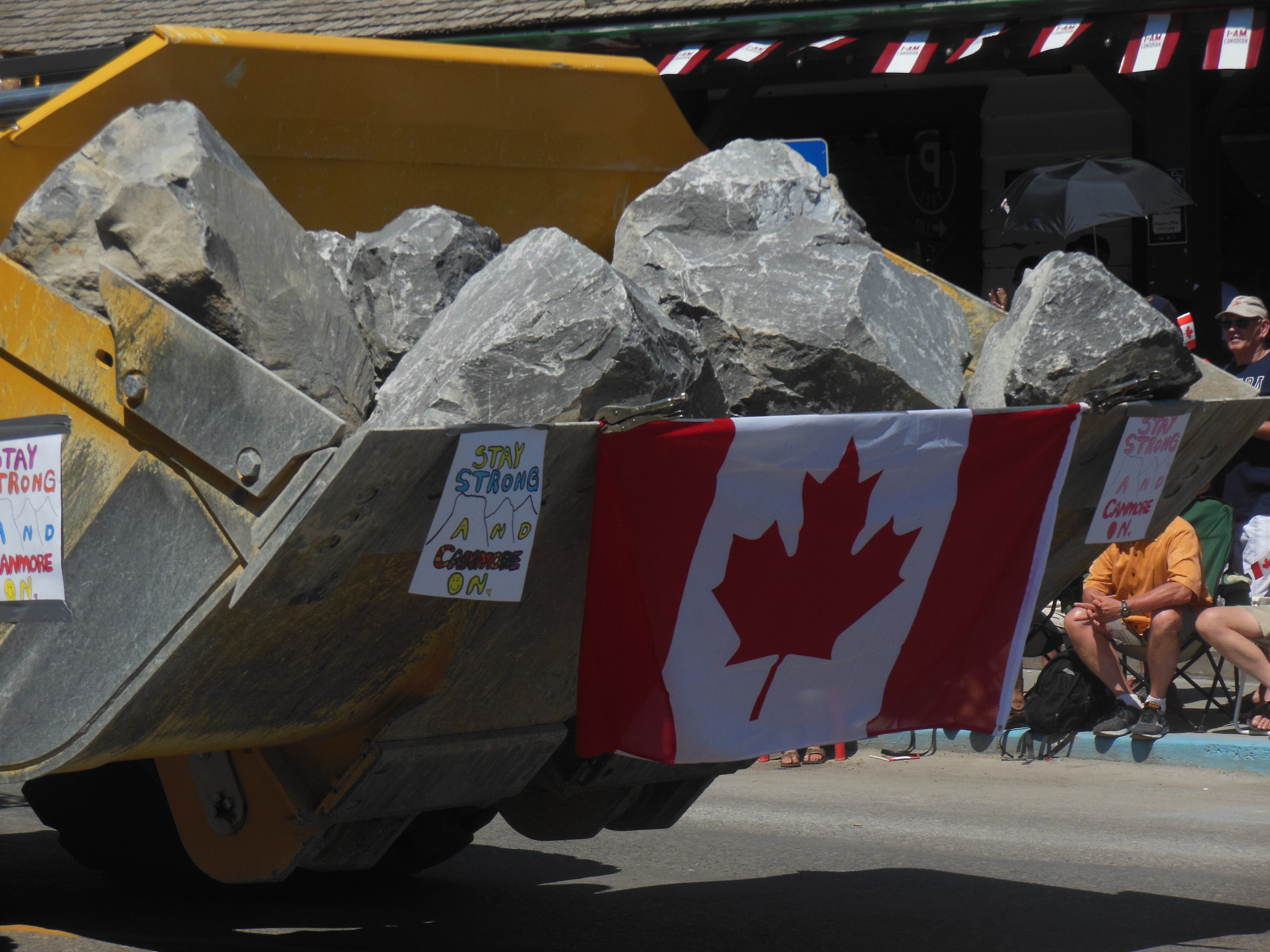
You may not have read but the stampede grounds were underwater during the flood. In fact, the Saddledome, where the Calgary Flames play hockey, had water up to the 10th row inside the dome. The dome was not available for stampede events this year.
The rest of the grounds were in very good shape.
The stampede organizers had proclaimed that “Come hell or high water, the stampede will go on”. T-shirts quoting this have been sold out. New shipments come in daily and are sold out immediately. They have raised over $1 million just from T-shirt sales so far.
We wrapped up our last evening in Calgary with a final conversation with our hosts. Wednesday we drive to Spokane. Depending on time, we have two or three potential side visits to make along the way.
Ed and Chris July 9 11:45 pm


Recent Comments