
Sequim, WA July 20

Hiking to Sol Duc
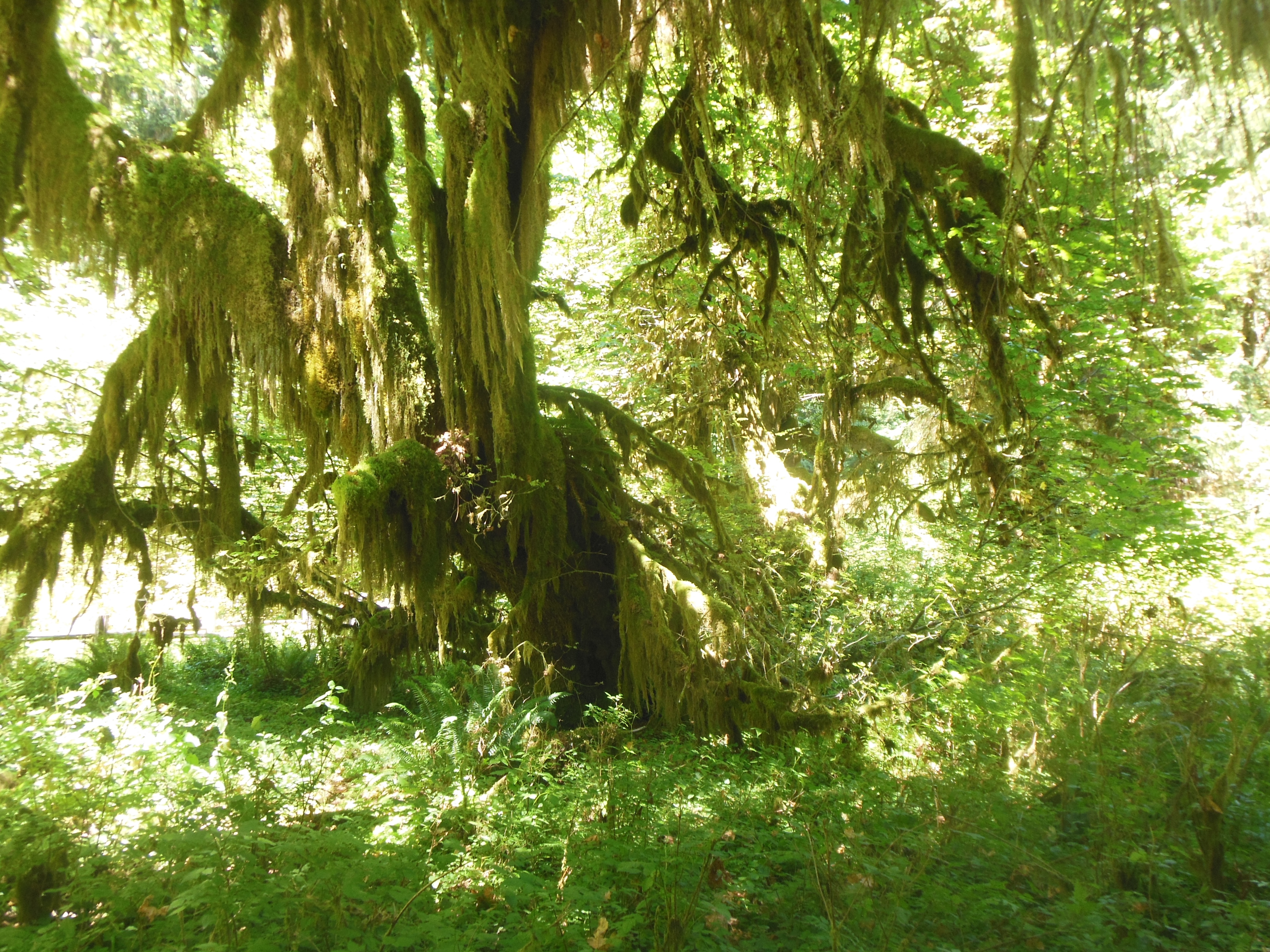
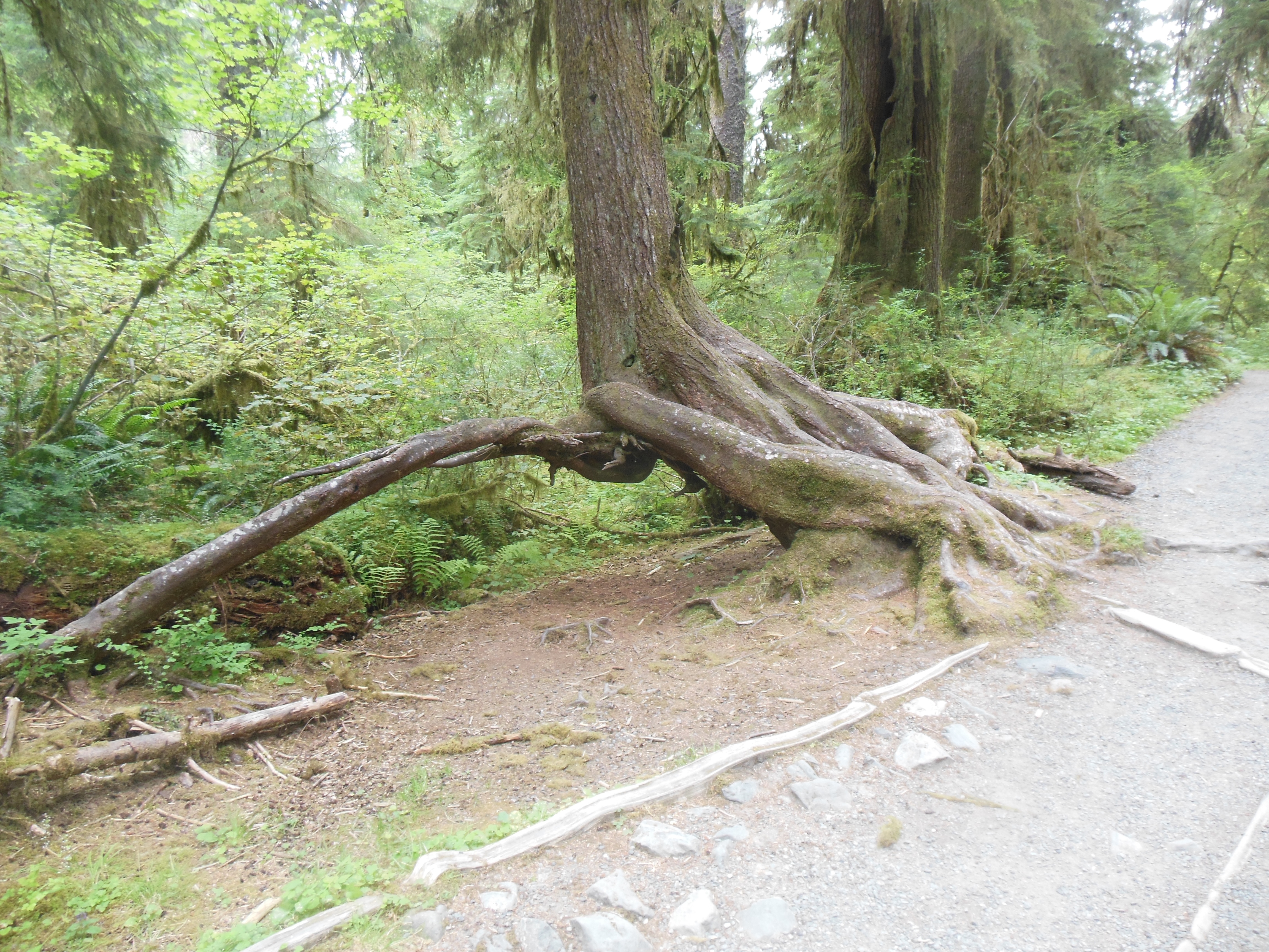
Today’s theme in Olympic National Park was water, particularly waterfalls. Breakfast was a quick muffin as we headed out for the day. We hiked to three waterfalls and had lunch next to a lake.

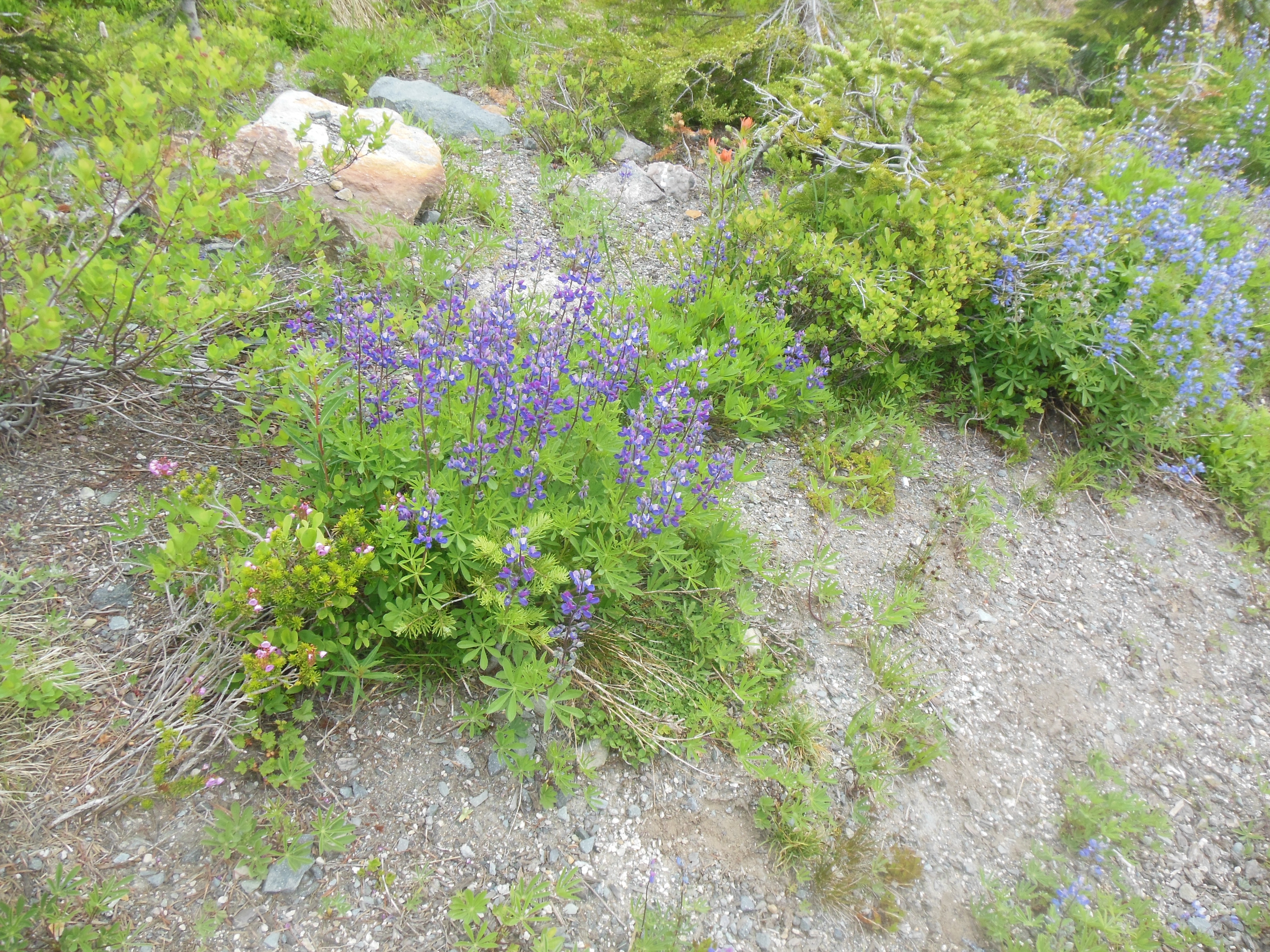
Sol duc falls
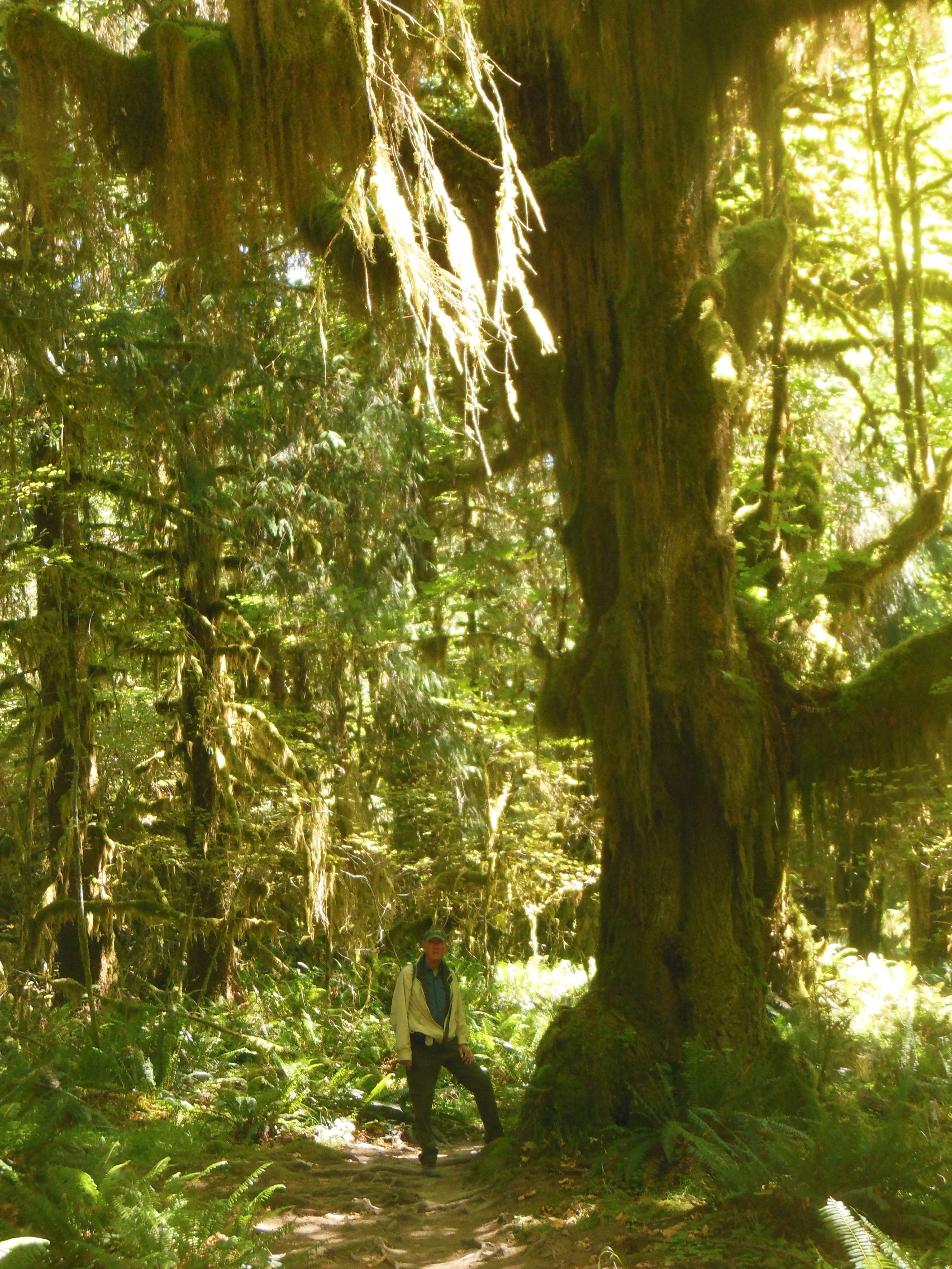
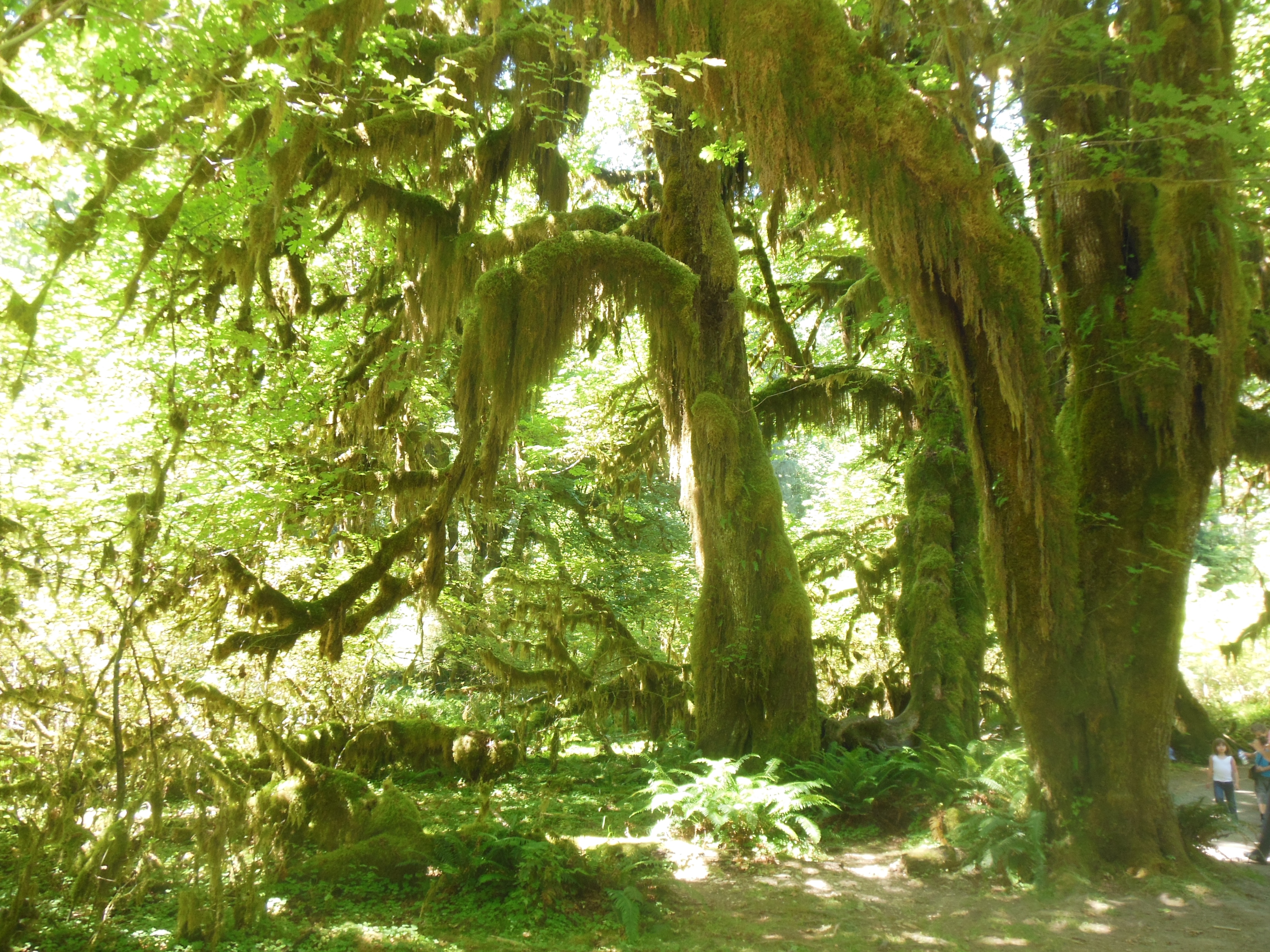
Waterfall number one was Sol Duc. This one was my favorite; the entire walk had a great fragrance of pine or cedar. Scoff if you will, I could not tell the difference. But the scent was fresh airsy and wonderful.
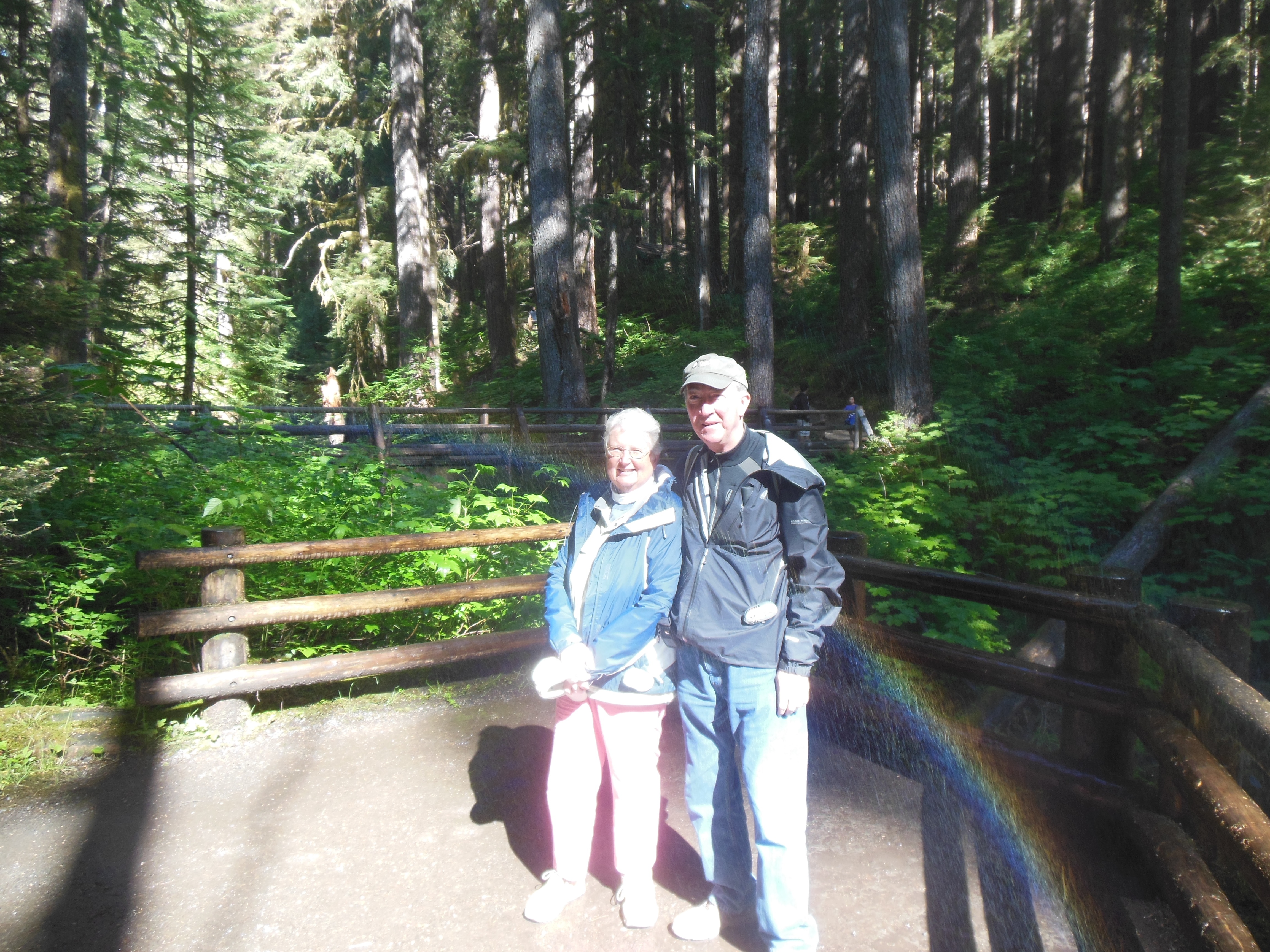
We started to see more international visitors again as we hiked to the falls. We had more opportunities to take pictures for people again. This did not happen much at the beaches or rain forest.
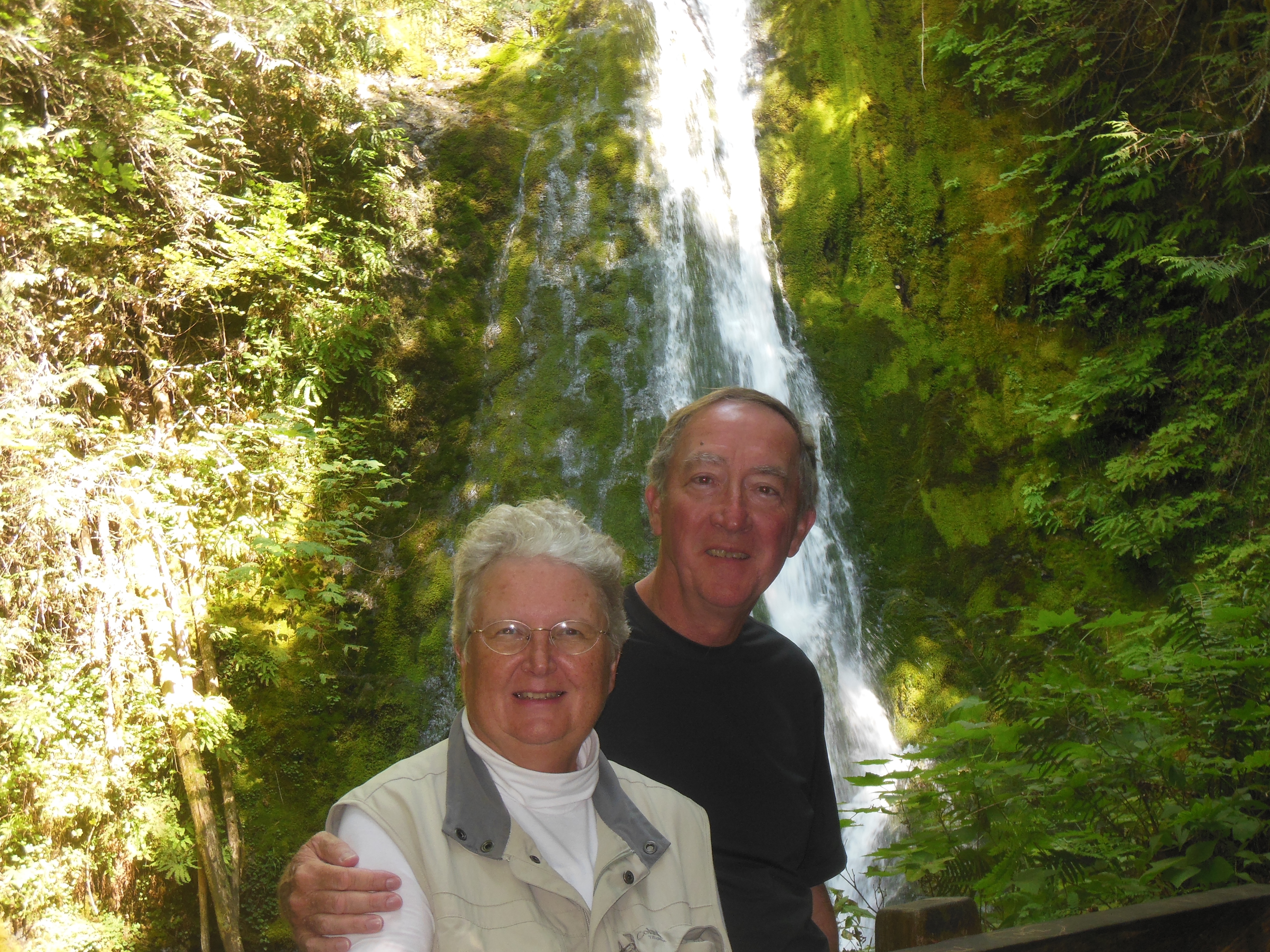
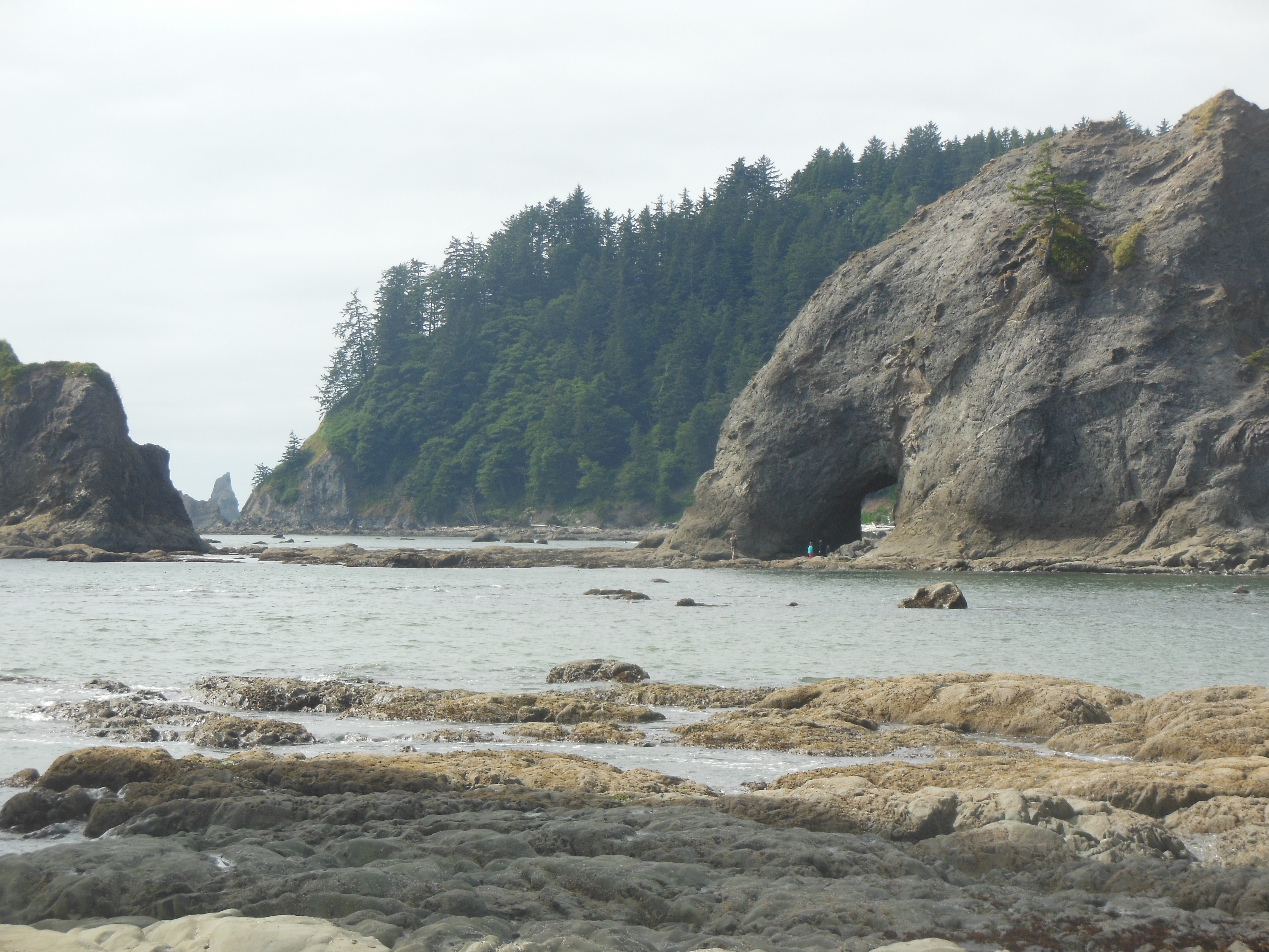
Chris, Ed and a little rainbow
The trail was rocky but not steep. The falls are picturesque but not high. The forest still had thick undergrowth but less moss and ferns. They turn after a small drop and continue to fall in a narrow gorge. The falls created a mist that produced a small rainbow in one spot.
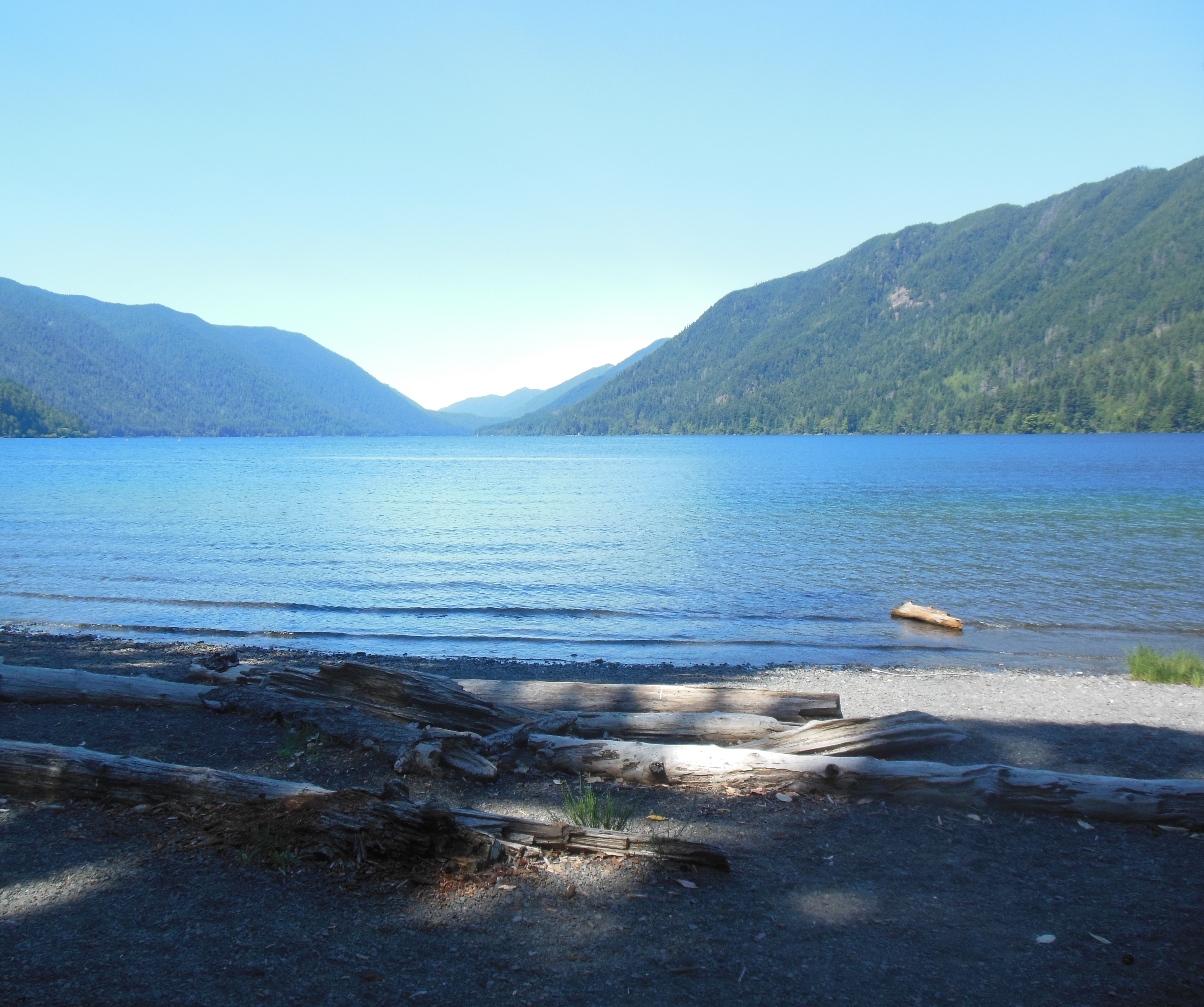
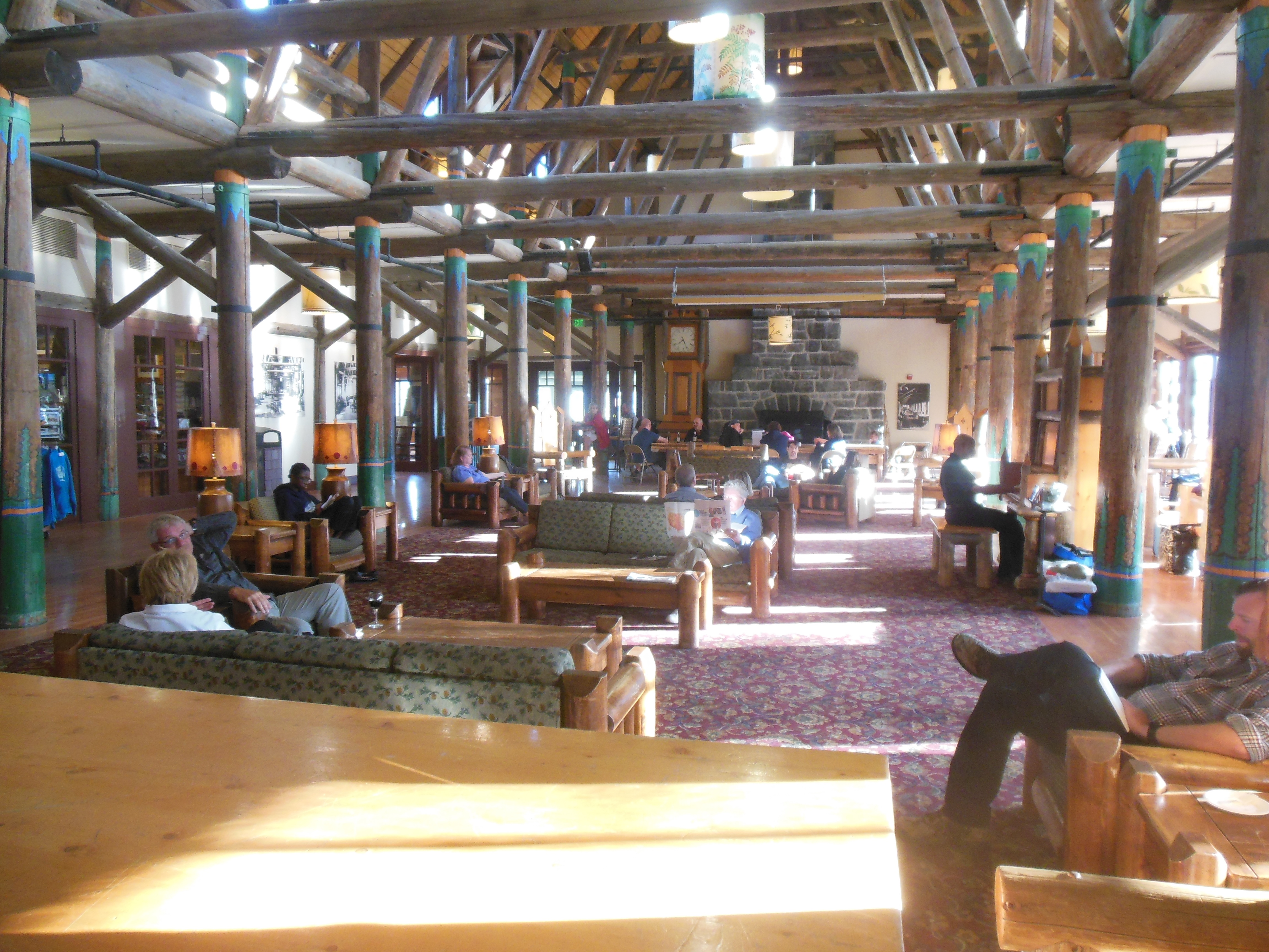
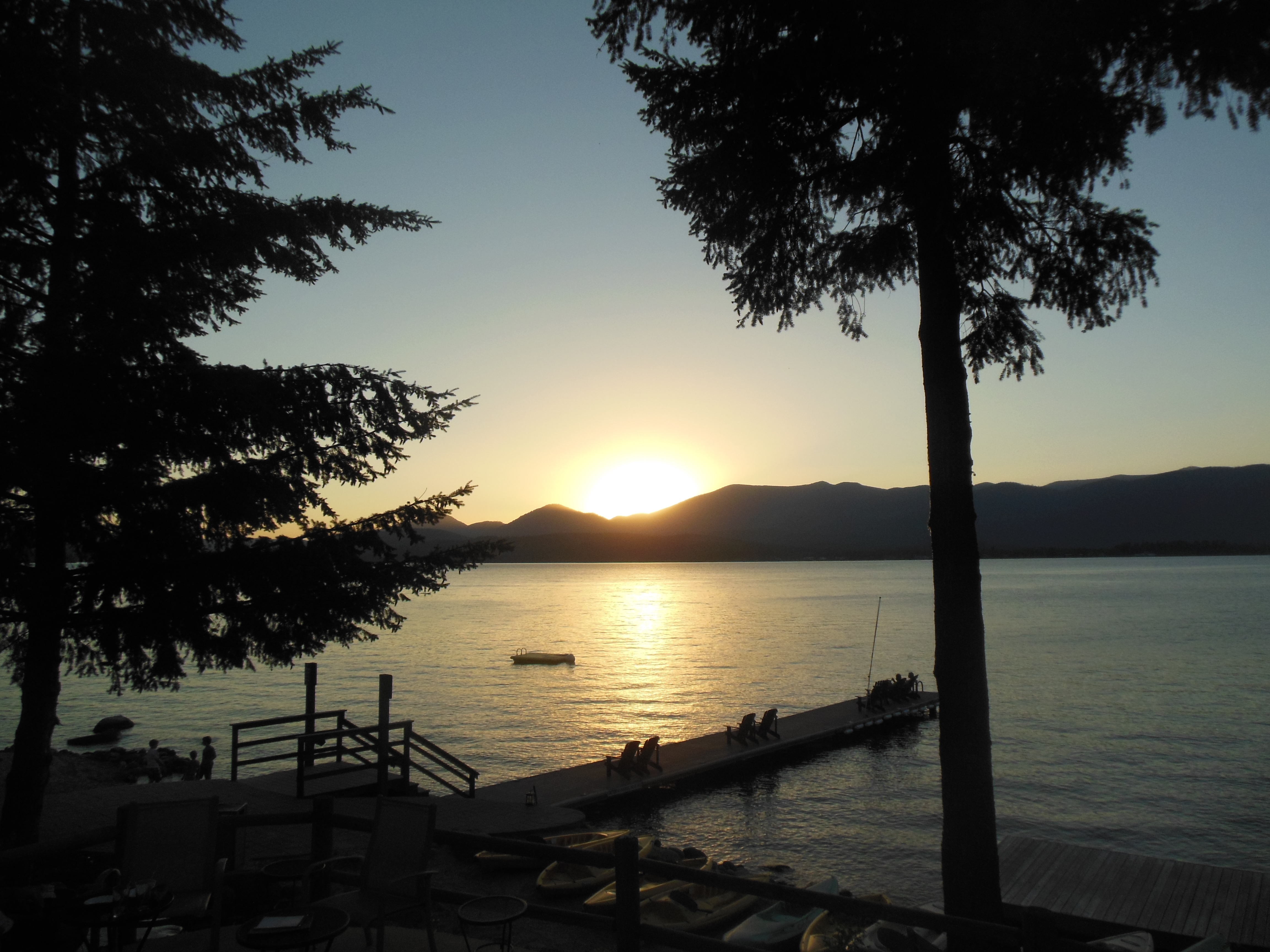
Lake Crescent
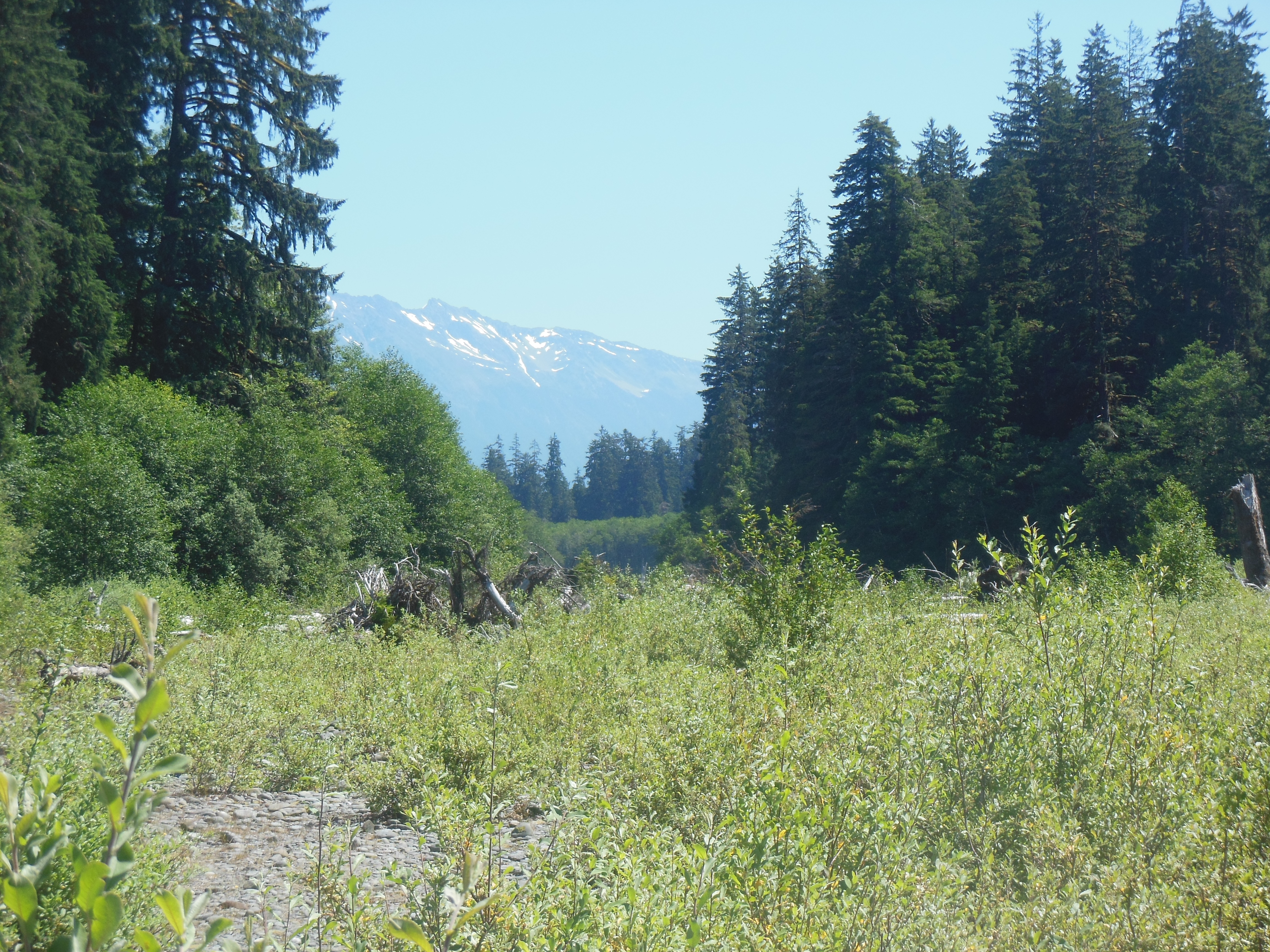
Lunch was at Lake Crescent Lodge. Lake Crescent has brilliant blue color and is very deep. The official depth has not been recorded, but is in excess of 600 feet. Some estimates are over 1000 feet. In any event, we only looked at it and used the trailhead located here to access Marymere Falls.

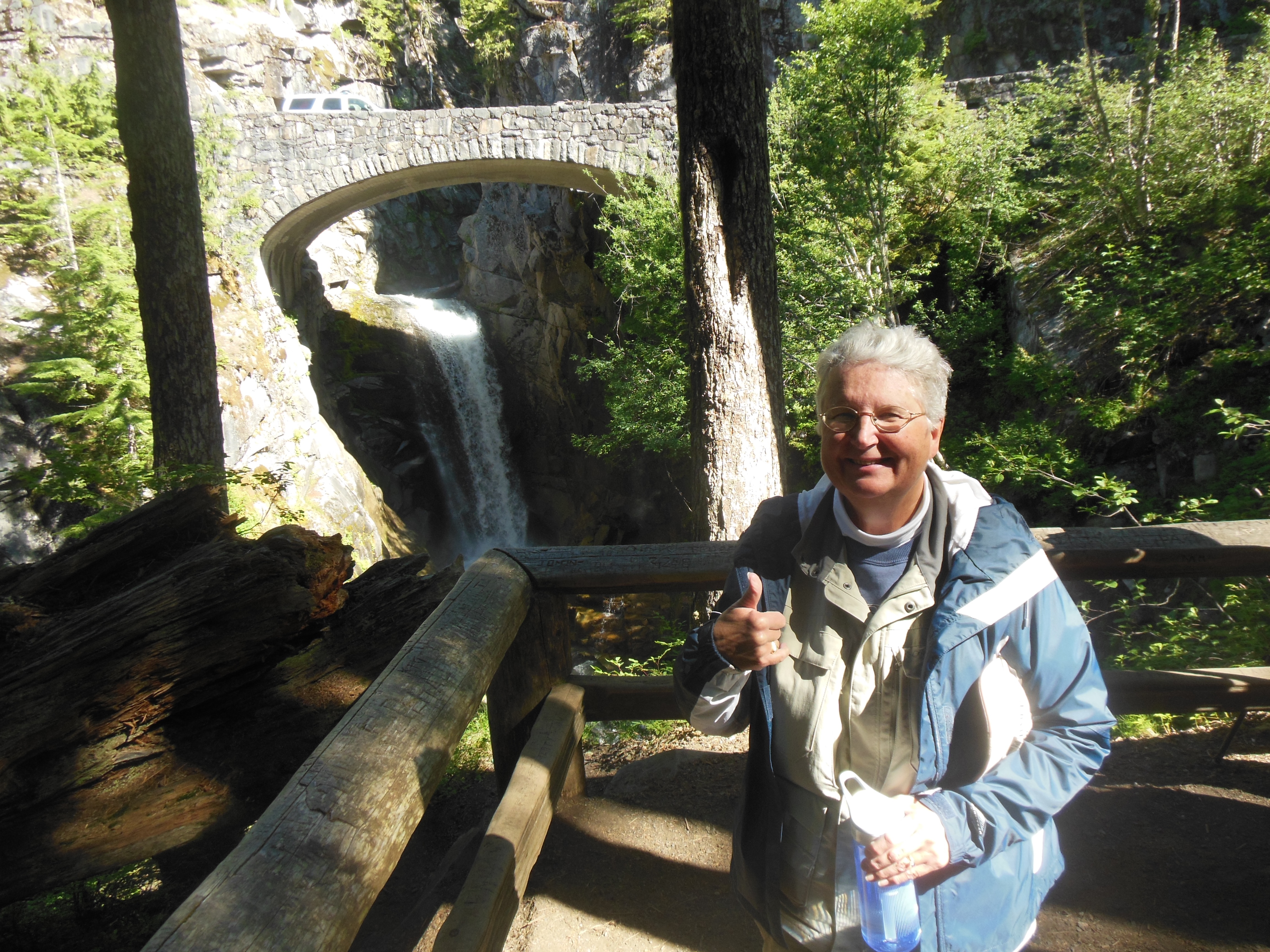
Marymere Falls
I was glad Chris had chosen this hike since the very last section of the trail leading to the falls are steep. If I had chosen the hike, we might not have completed it. The falls begin with a narrow band and then go into a classic bridal veil formation. After the climb, the falls were almost anti-climatic.
Madison Falls

Elwha RIver
Our next stop was Madison Falls. This was only a short hike with the falls bursting upon you as you make a turn in the trail.
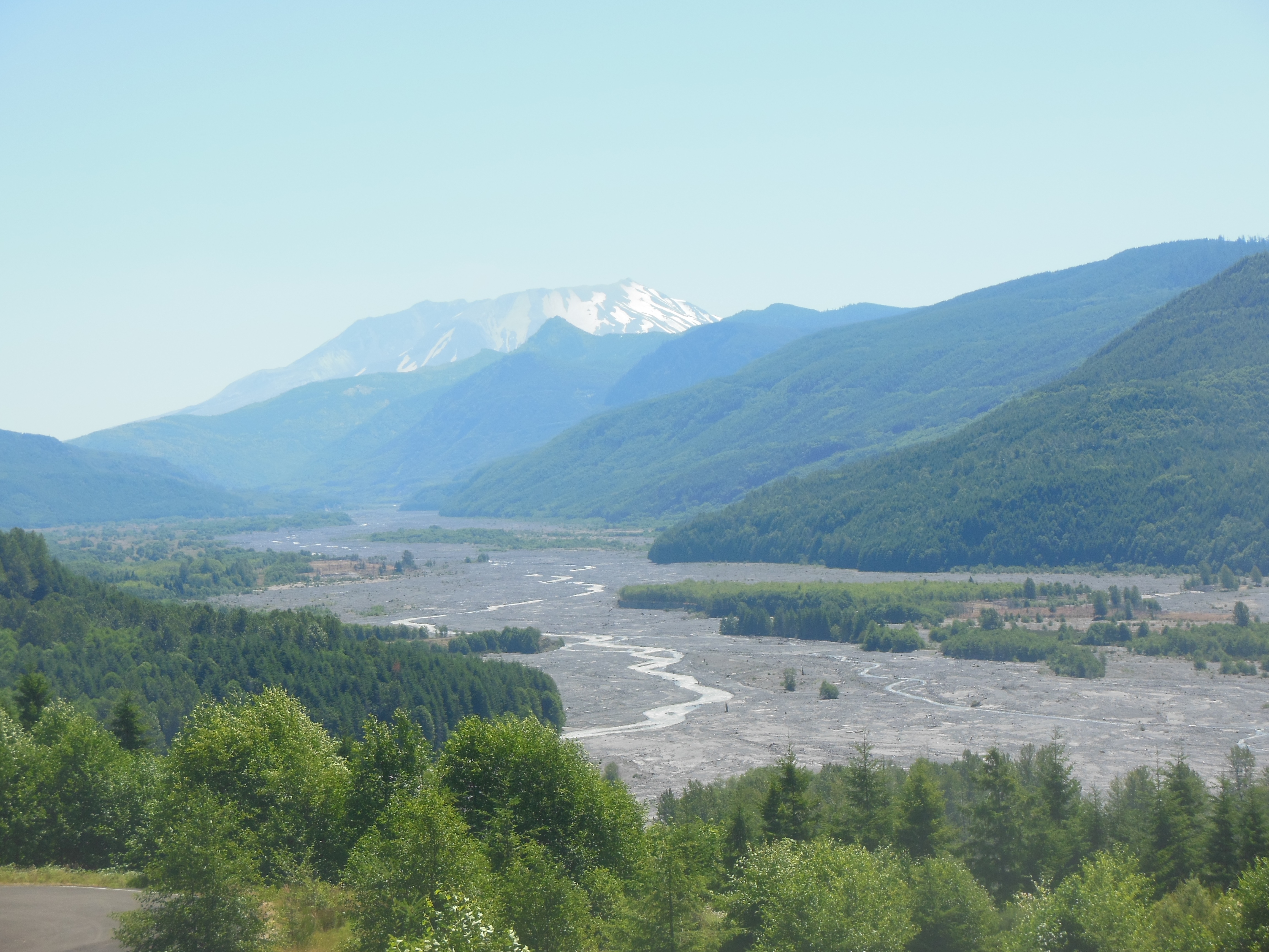
Madison Falls is in the area of the Elwha River and the largest dam removal project in U.S. history. After removal, salmon populations are expected to swell from 3,000 to 300,000. The natural flow of the river and the estuary at the bay are expected to improve.
The dam removal impacts are being studied by numerous academic and park groups. Restoration of the previous habitat is underway. The project began in 2010, dam removal in 2011 and will not be completed until next year.

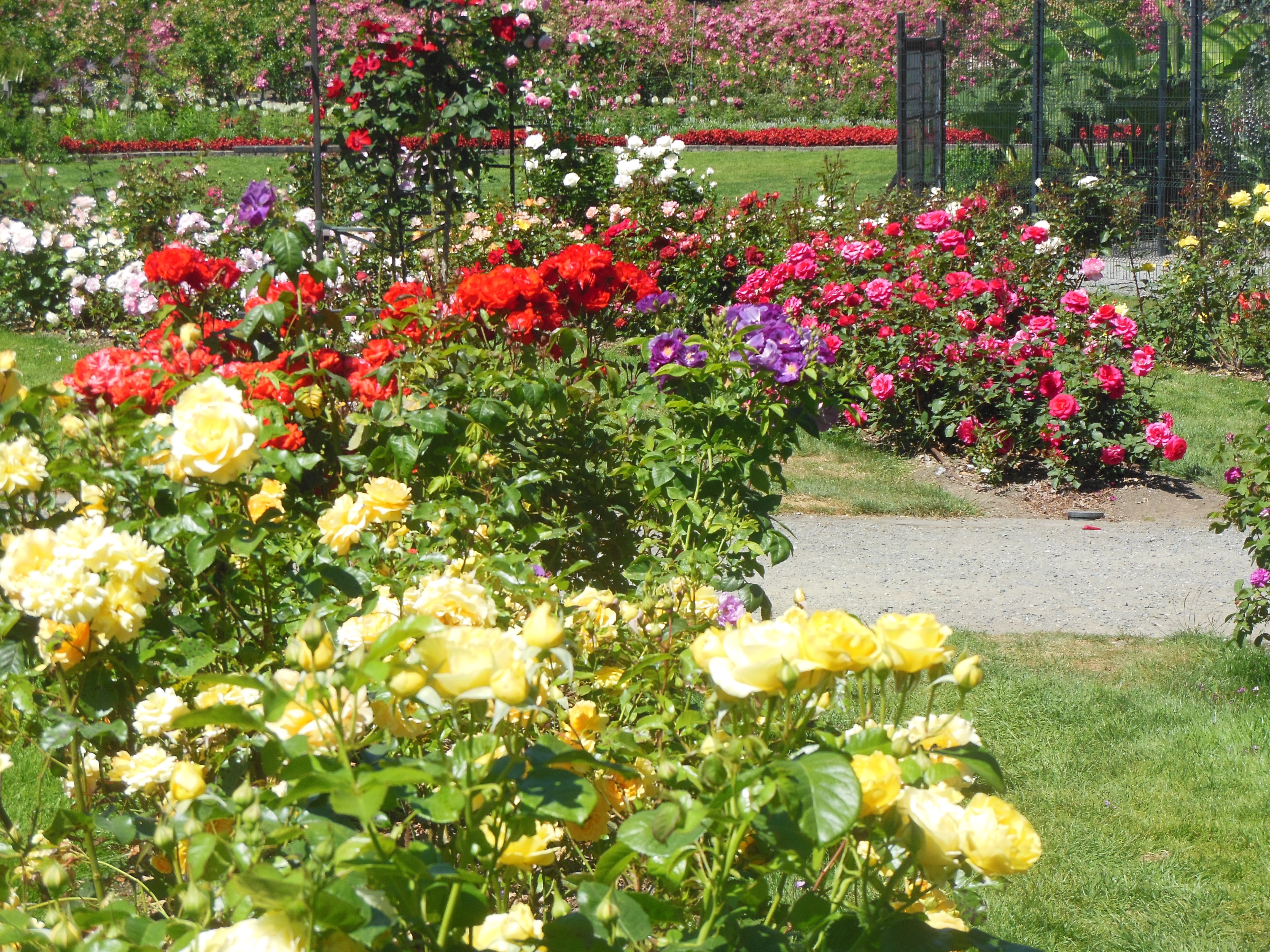
Lavender field
As the afternoon moved on, we headed for Sequim. Our Evergreen hosts had indicated this weekend was the annual lavender festival. The Sequim area grows 80% of the U.S. lavender crop. We managed to visit one of the farms open for touring and pick-your-own lavender.

Lavender farm
We had never been to a lavender farm before. The color is brilliant. The farm acreage under cultivation was not large and a portion of the rows had already been pretty well picked over. As you can see from the photos, the effect is mesmerizing though. A side factor we had not thought about was the presence of large quantities of bees. Given the number of flowers, the bees were not interested in humans.
After Mass and dinner we arrived at our Evergreen hosts where we will be staying for the next two nights. Once again, a pleasant evening of travel conversation was had.
Our education continues in other ways. Deb probably knows this but it was new to us. On 20 oz bottles of Coca Cola, the inside of the label has printing that is visible when you look through the bottle. The sayings are tied to Coke providing “Ahh” moments. There even is a web site. http://www.ahh.com
We are becoming so knowledgeable on so many different topics.
Ed and Chris July 21 7 AM


Recent Comments