
Canmore, July 5
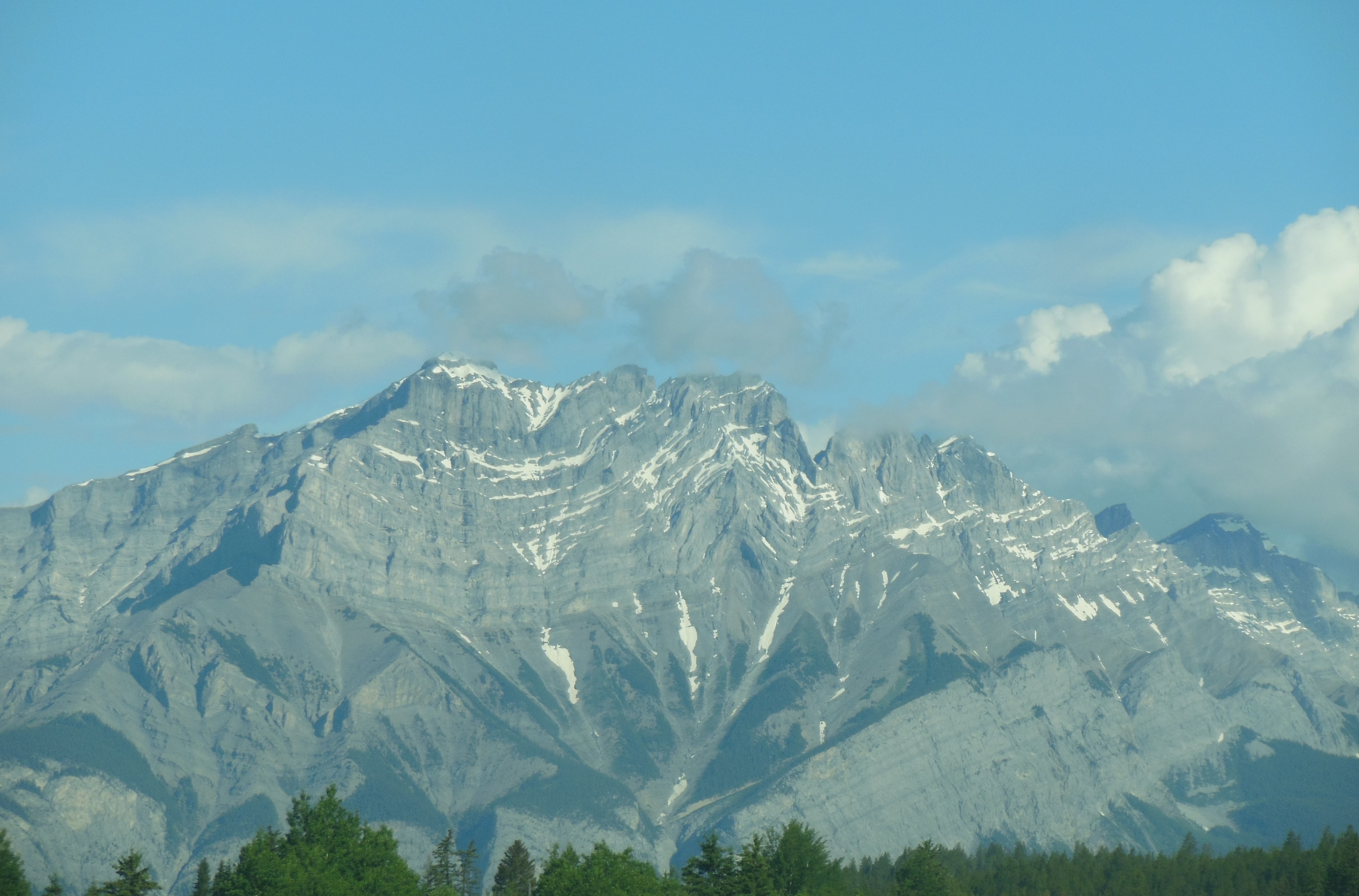
Cascade Mountain overlooking Banff
We drove past Banff and we slipped over the border into British Columbia to hike in Kootenay National Park. Kootenay is long and narrow with only one road traversing the park. There are only 3 passes over the Canadian Rockies and by the end of the trip, we will have taken all three. This one was easy, only two lanes but wide road and relatively easy gradient.
We went on three hikes in the park. This was after rejecting one early in the morning which had fresh bear skat within the first three minutes of the trail.

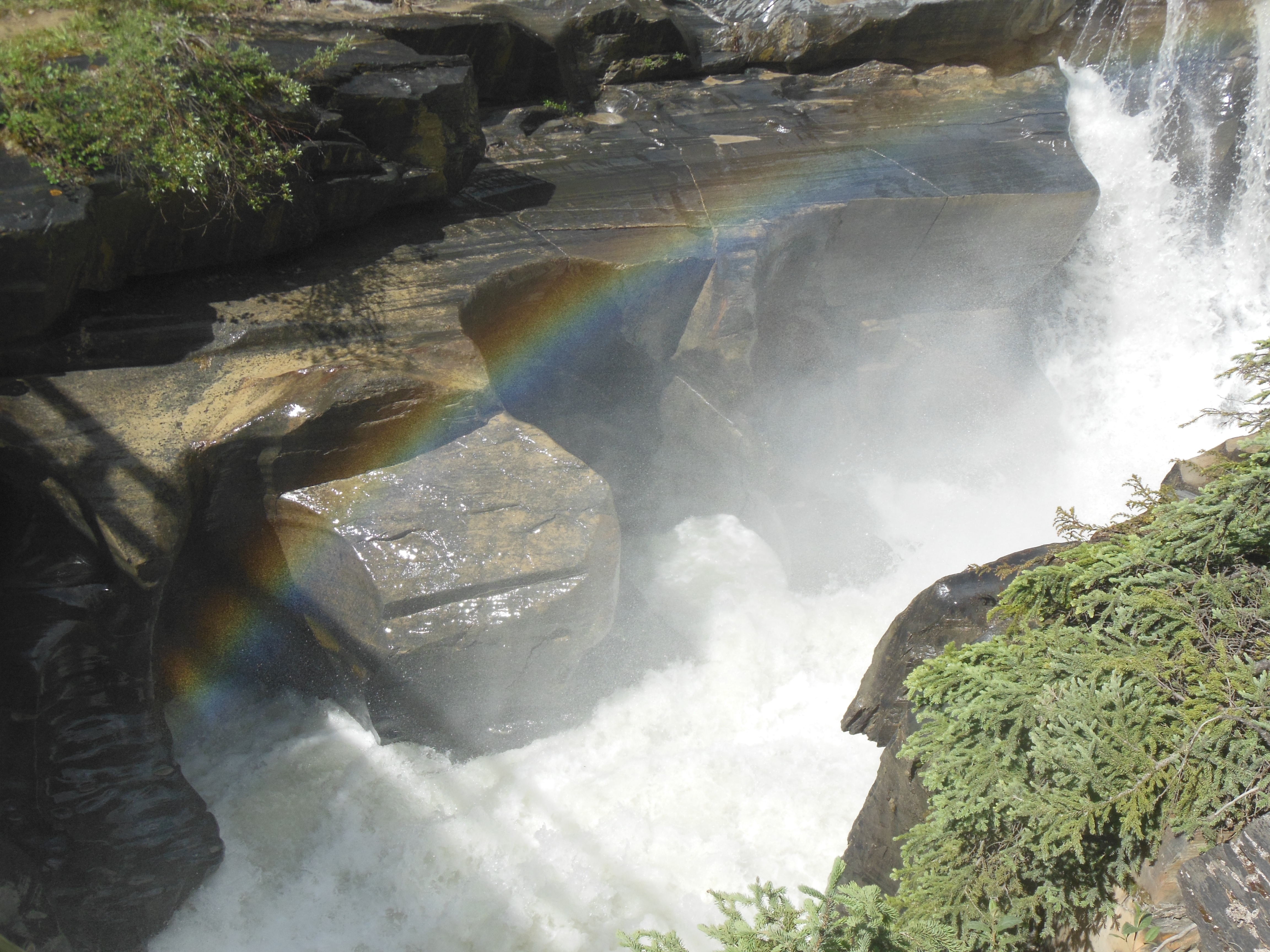
Marble Canyon
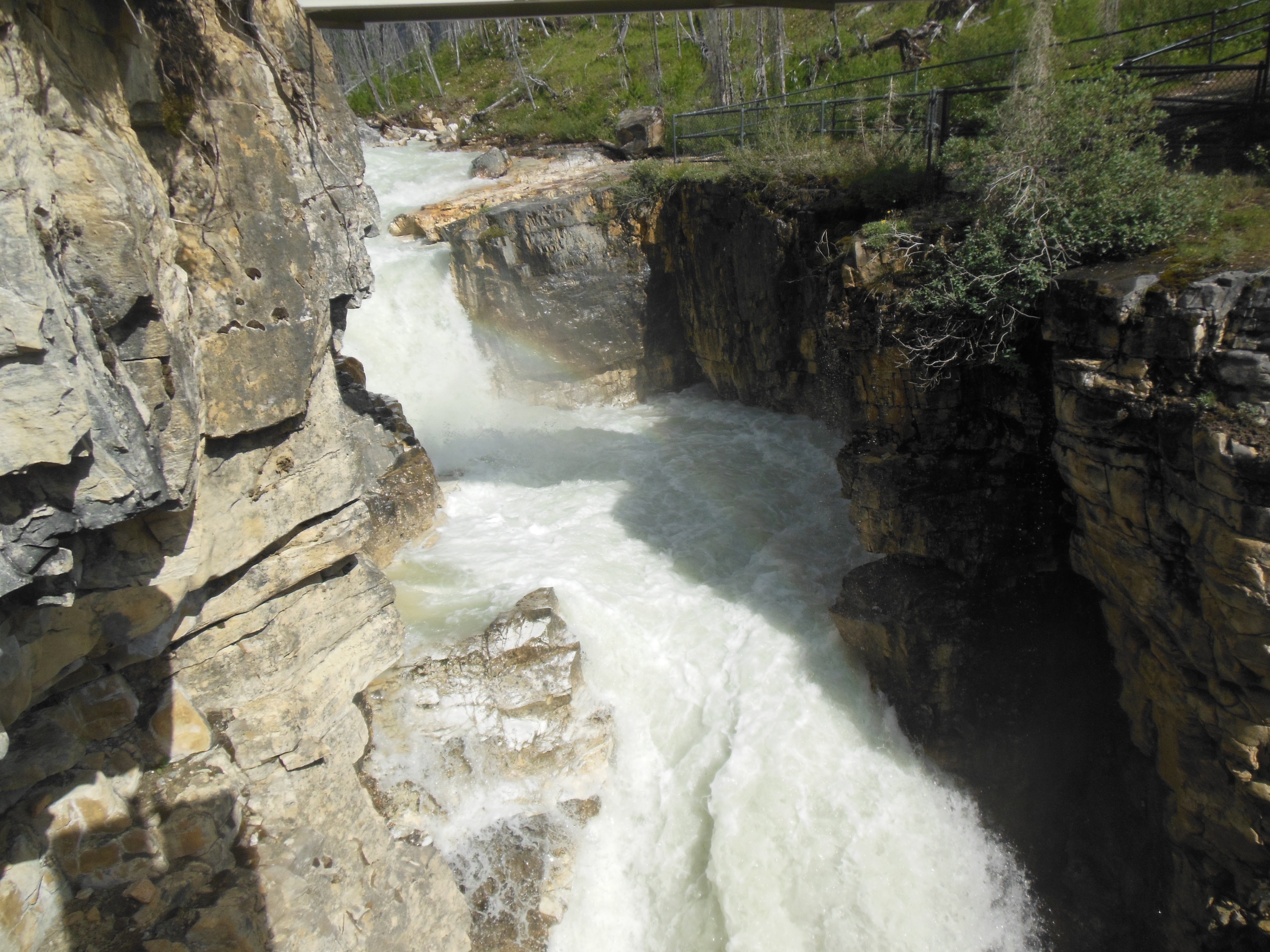
Marble Canyon
Our first hike was Marble Canyon. In actuality, it is really a gorge, not a canyon. Tokumm creek flows through the area on its way to the Vermilion River. While the hike is steep, there are bridges and railings to assist you. All three hikes today are taking place in areas which have had forest fires within the last 5 to 20 years.
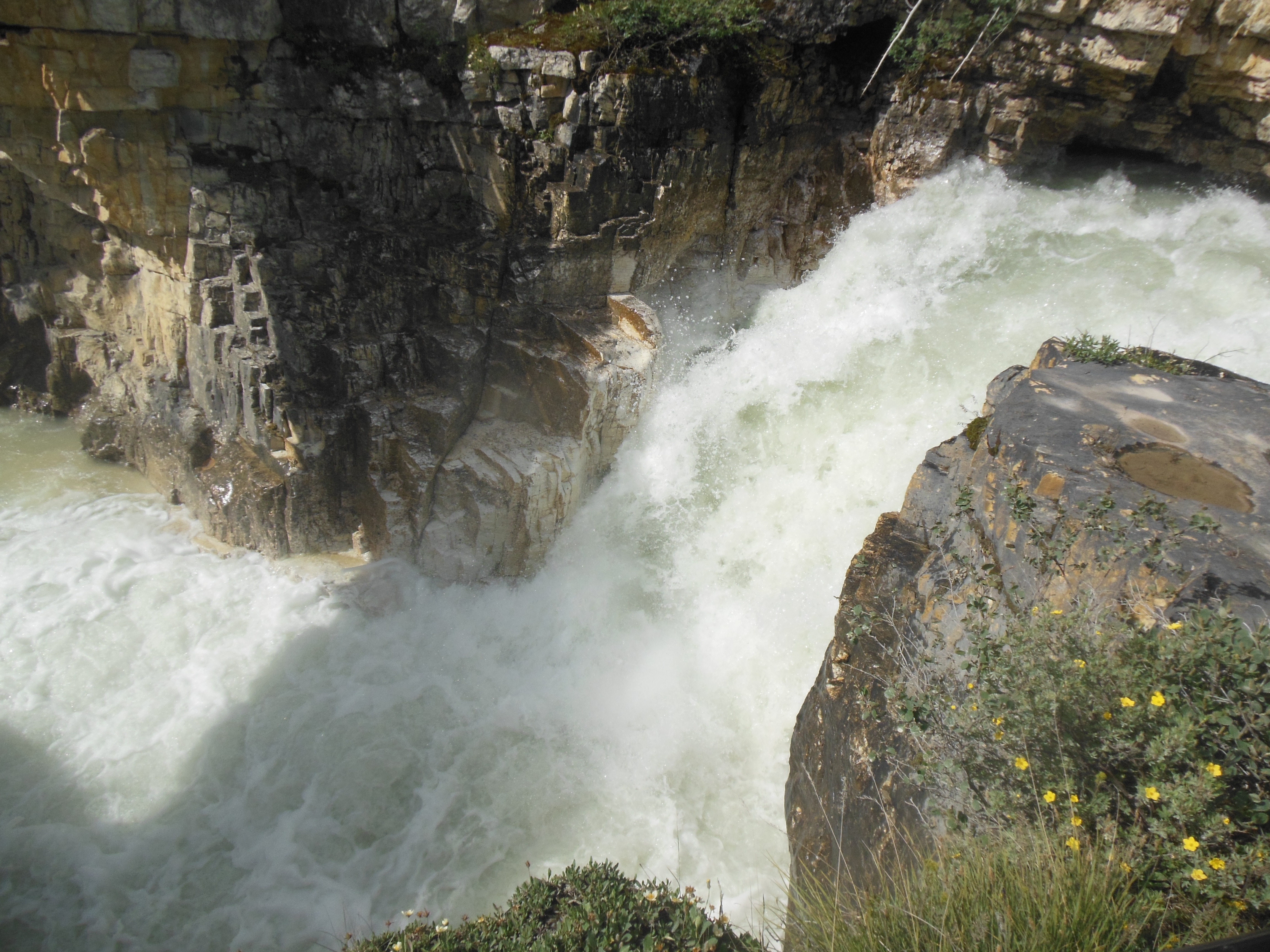
Marble Canyon
Wildflowers are continuing to bloom and be more profuse than before. The river and creek water continues to be seafoam green. Supposedly, when we return in August they will be blue.
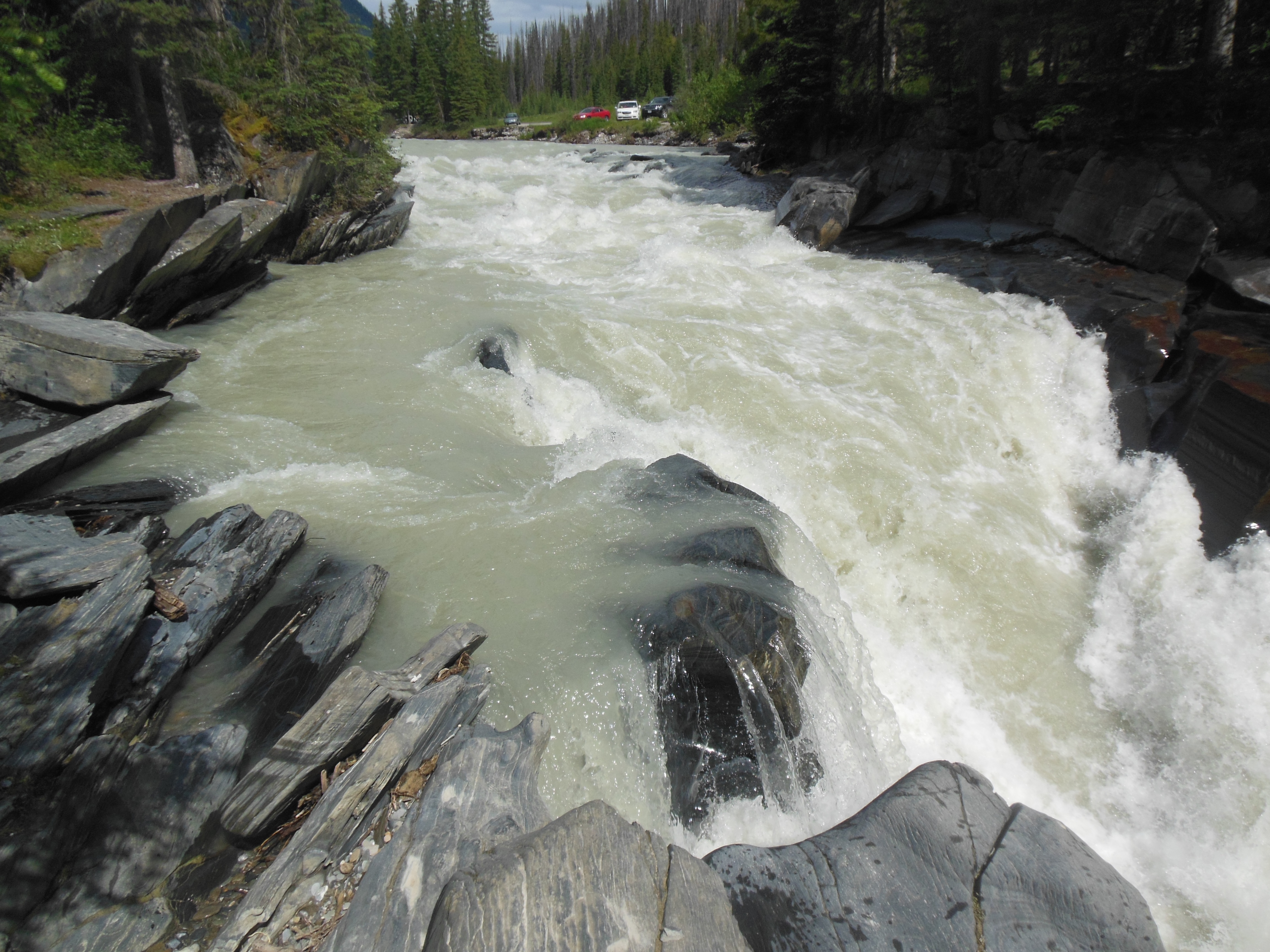
Vermillion River at Numa Creek trailhead
Vermillion river at Numa Creek trailhead
We made a quick stop at the Numa Creek trailhead. For us, we used it as a wayside rest actually along the Vermilion River. There is a nice little falls here and this area had not burnt so you were able to compare burnt forest with a mature forest.
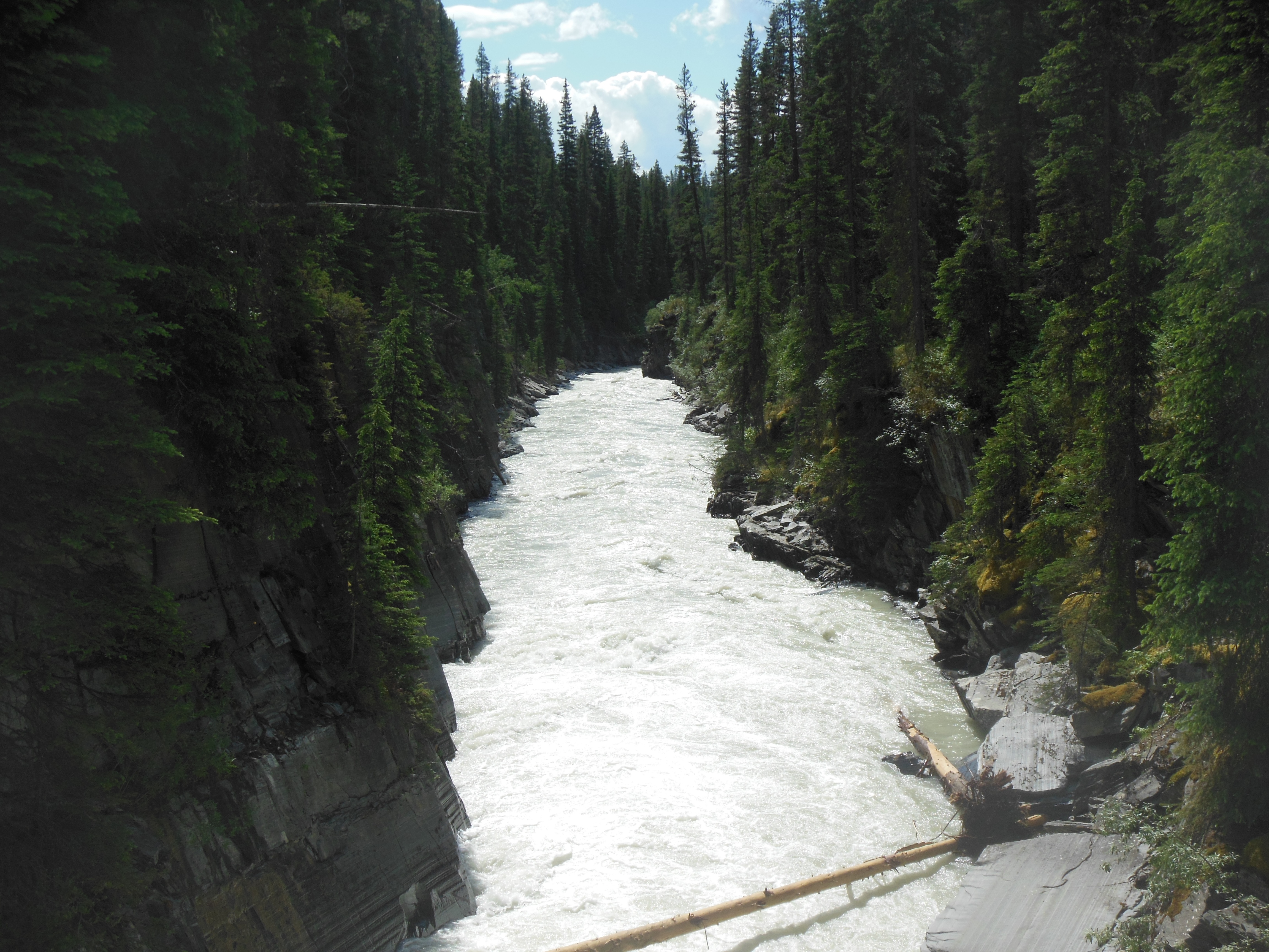
Vermillion River
The day was warmer than expected and the rain held off until the evening. If you look closely though, you will see two small rainbows in two of the water pictures.
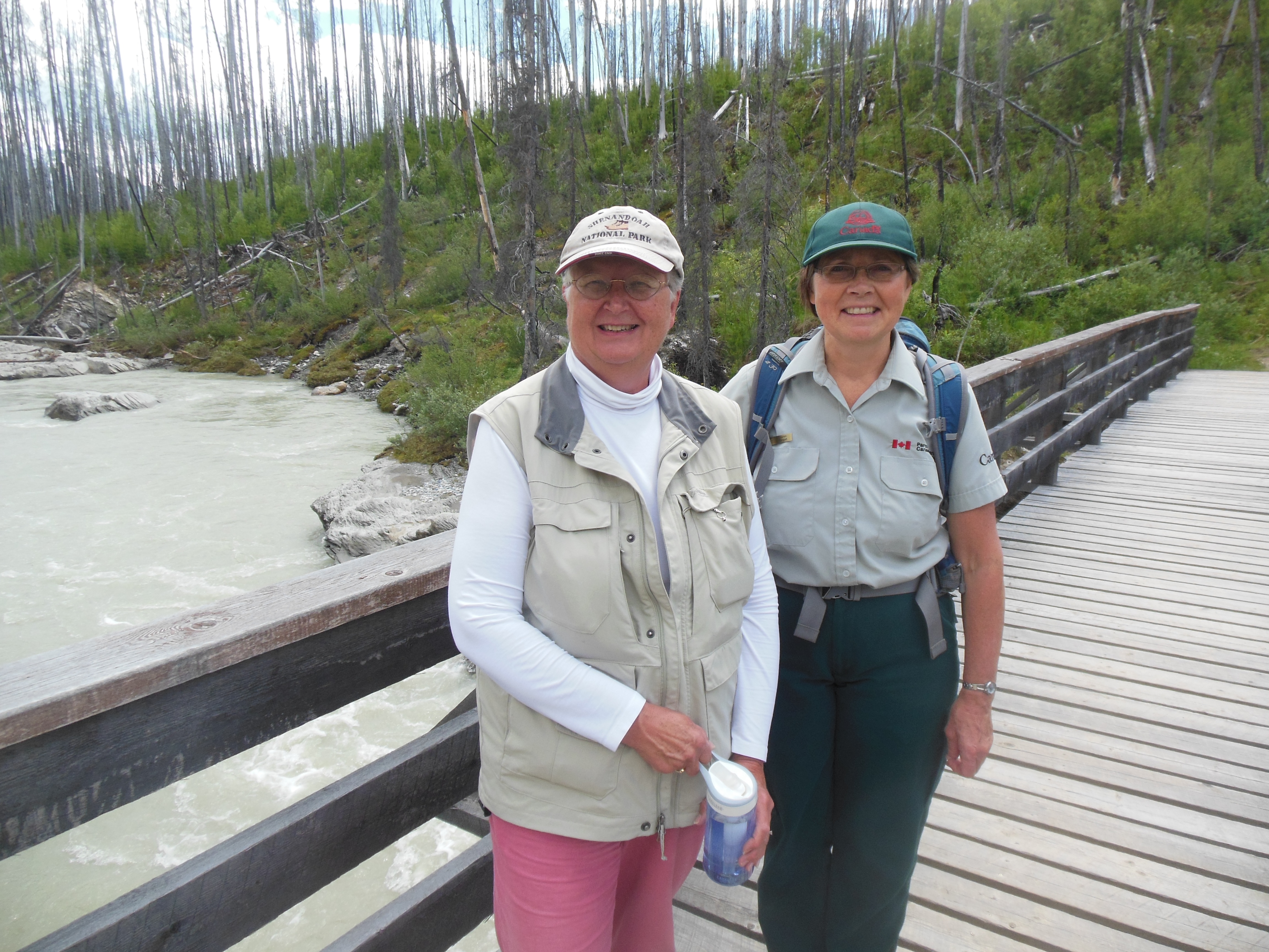
We only drove about one half of Kootenay Park today. We will finish it on our return journey. At the turnaround point, we saw a brochure for a Ranger walk. It was back at a trailhead we had stopped at but chosen not to hike.

Ranger walk showing two burnt and new growth

Walk through burnt area with ranger
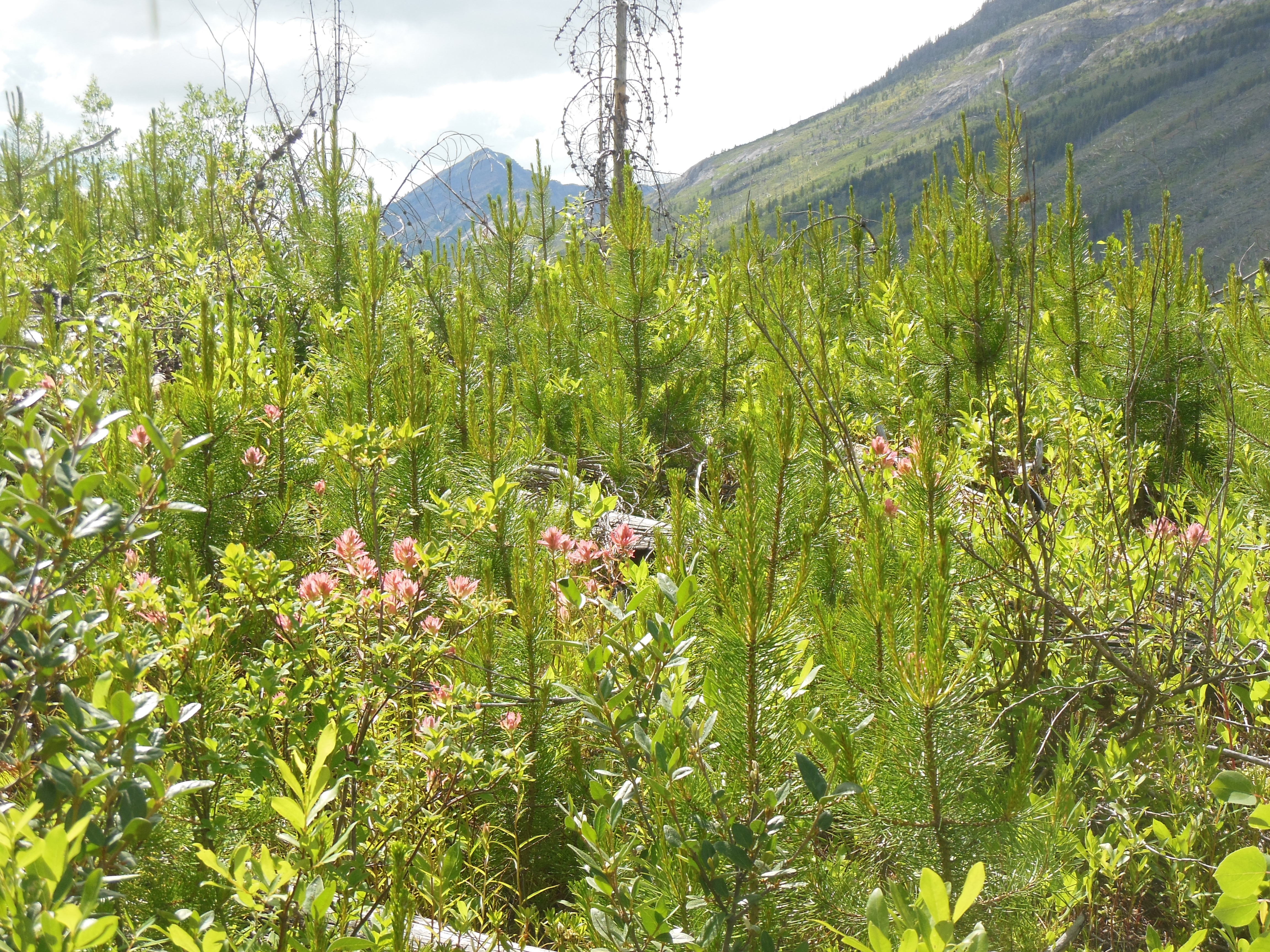
We drove back to the trailhead and met the Ranger for an hour and a half hike. She talked primarily about the burned area and the regrowth process. She was working here at the time of the last forest fire and had pictures showing the regrowth during the next 1 to 3 years. We were the only two people on the hike so it was a private tour.
One of the items she explained was that trees that were dead at the time of the fire now have black, burnt trunks. Trees that were living at the time of the fire have grayish trunks-with no branches and no leaves of course.
Chris and Ranger Sharon
Our third hike was at Stanley glacier. We did not hike all the way to the glacier. We just did the early, steep climbing portion of the hike. This hike also had areas of wildflowers, along with small trees across the trail that had to be climbed over or under.
Wildflowers along Stanley Glacier trail

Best shot we could get of Stanley Glacier

Stanley Glacier trail
Our next stop was at Norquay mountain. This is a ski area above Banff. Like other ski areas, they imported a number of Swiss skiers to provide lessons and run ski schools back in the 1930s to help get the industry off the ground. There was an overlook that provided a view of Banff from high above. In addition, we observed our first mountain goats.
We wrapped up the day with dinner and downtown Banff. Our legs and knees are saying “No more steep hikes, No more steep hikes.” So Saturday we will stay on flat land in Banff.

Banff from Norquay Mountain

Our first mountain
goat
Oh, and Canmore lifted the boil water advisory at the end of the day Friday. Hurray!
Ed and Chris Saturday July 6 8:45 am

How nice of the goat pose for you! Such a beautiful area.