
Monday, May 20
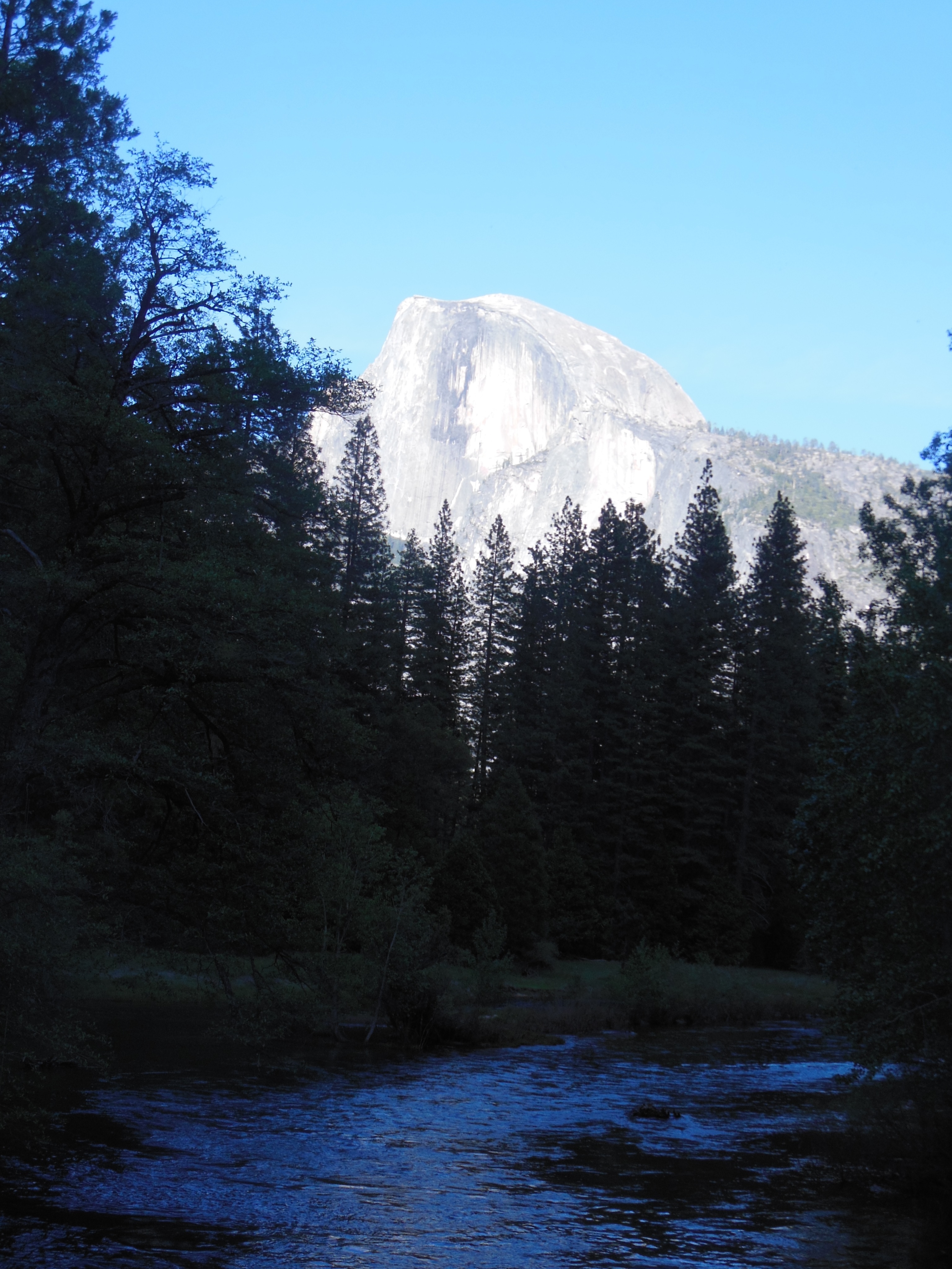
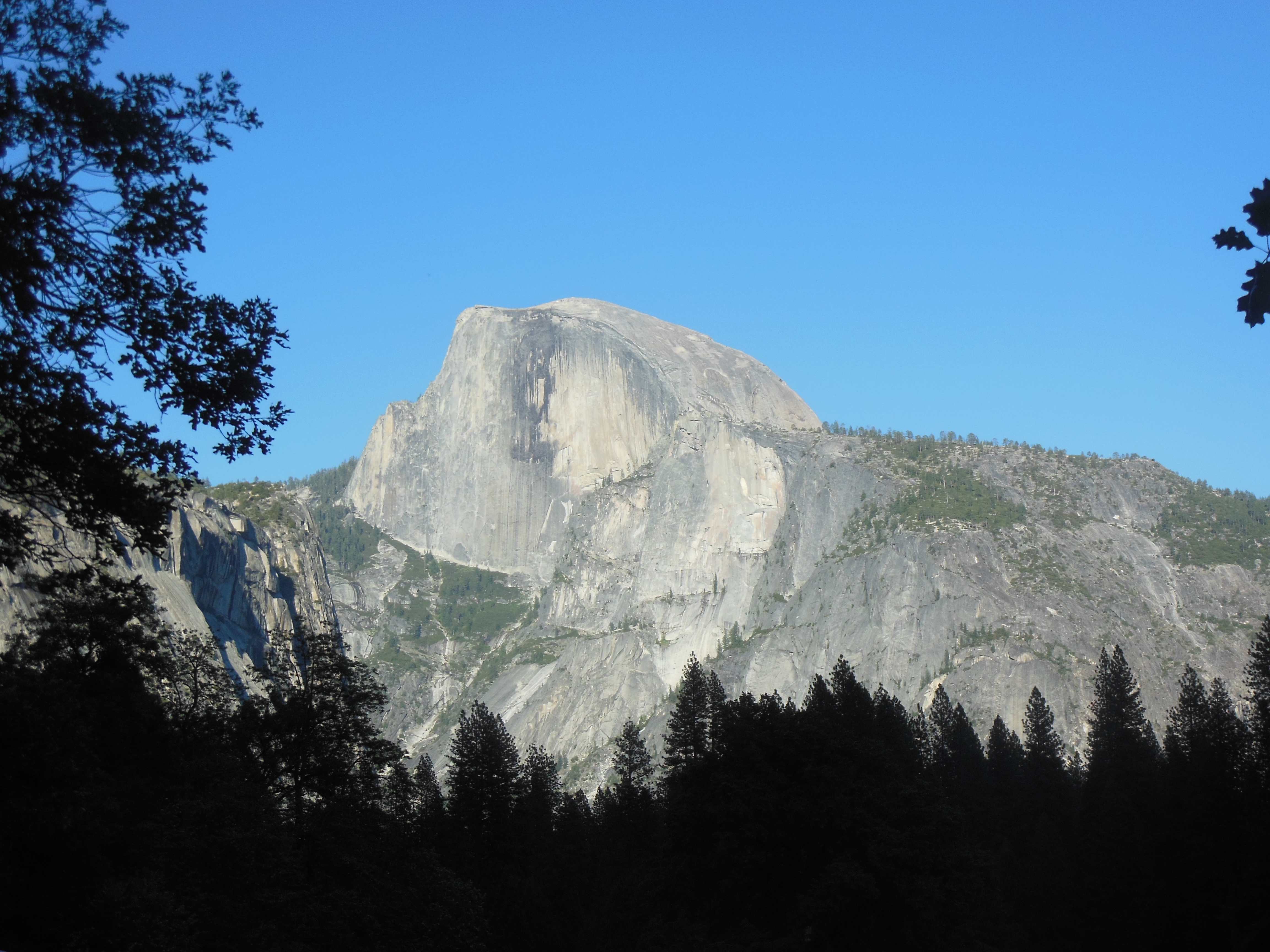
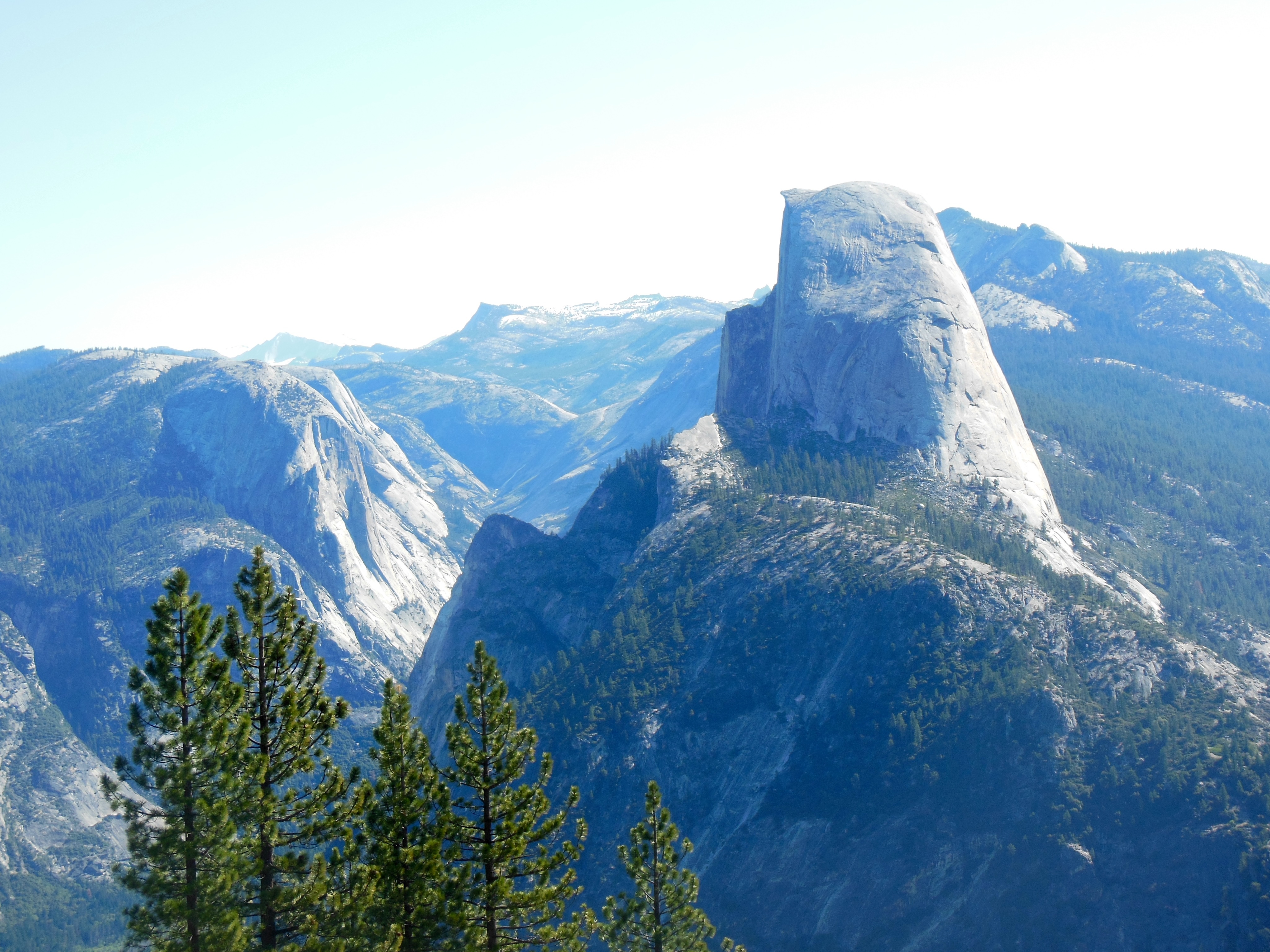
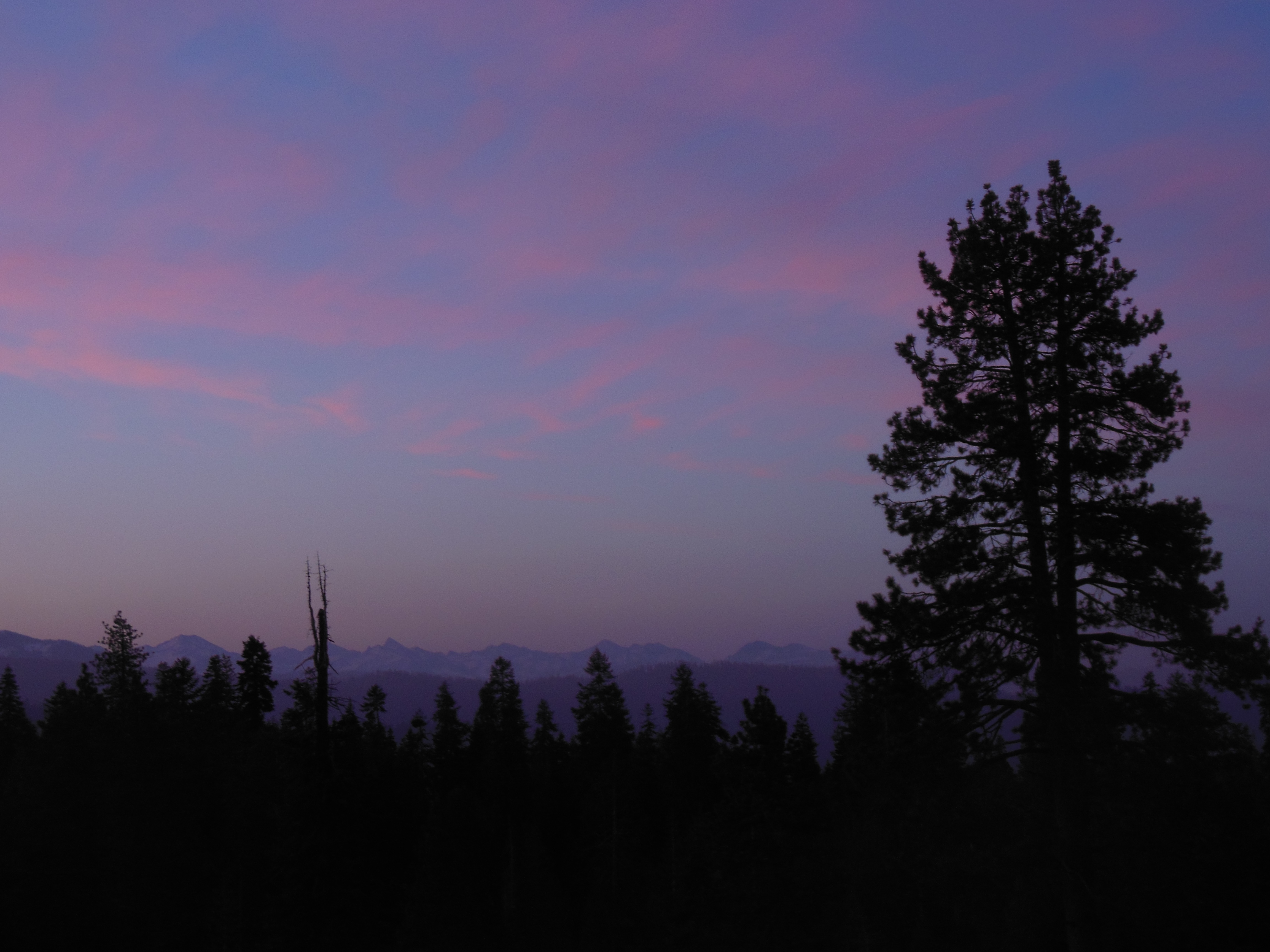
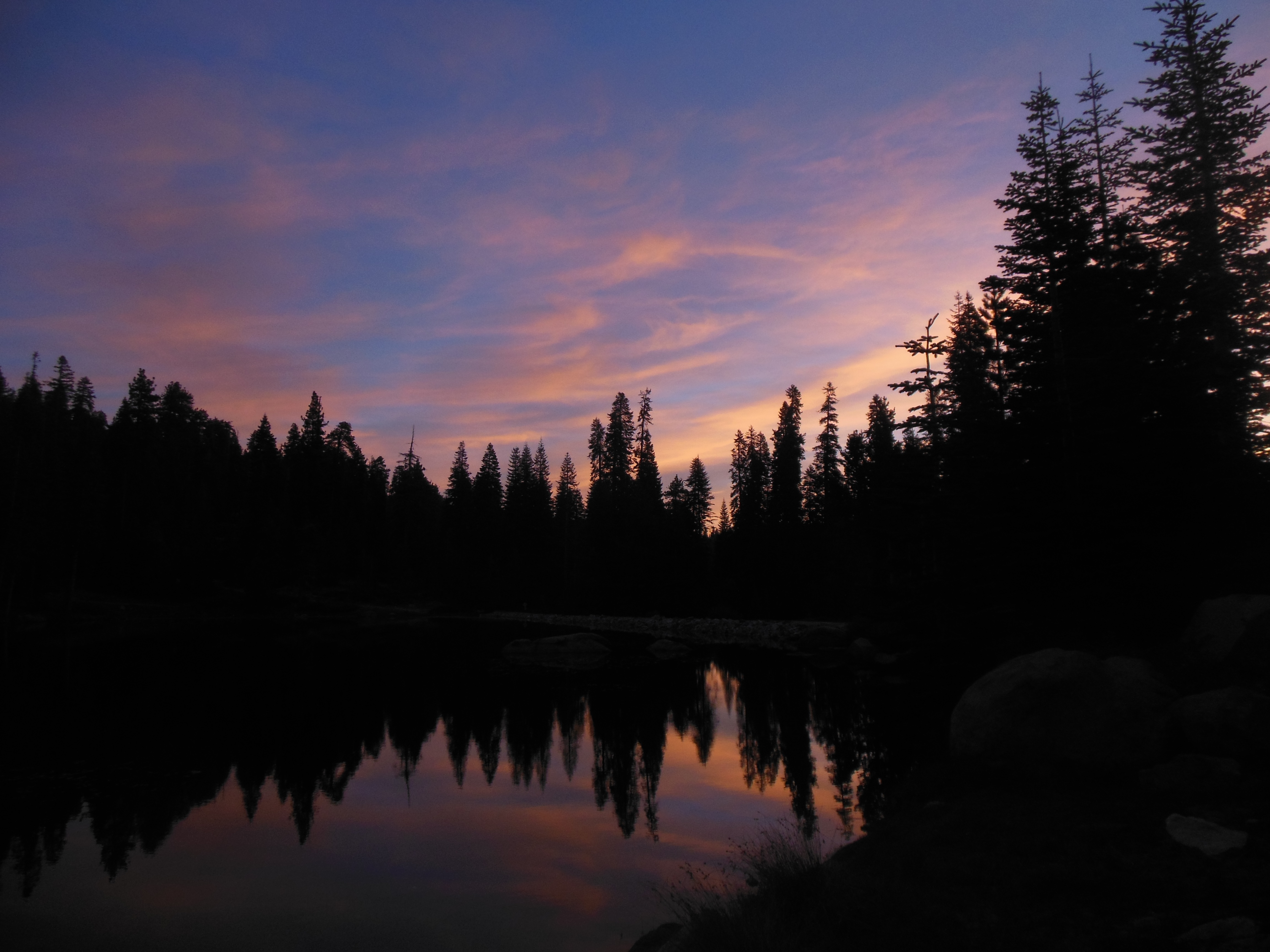
Half Dome at dusk
Our morning walk was to Yosemite Falls and the visitors center. We walked back here afterwards and changed since the day was going to be hot and sunny.
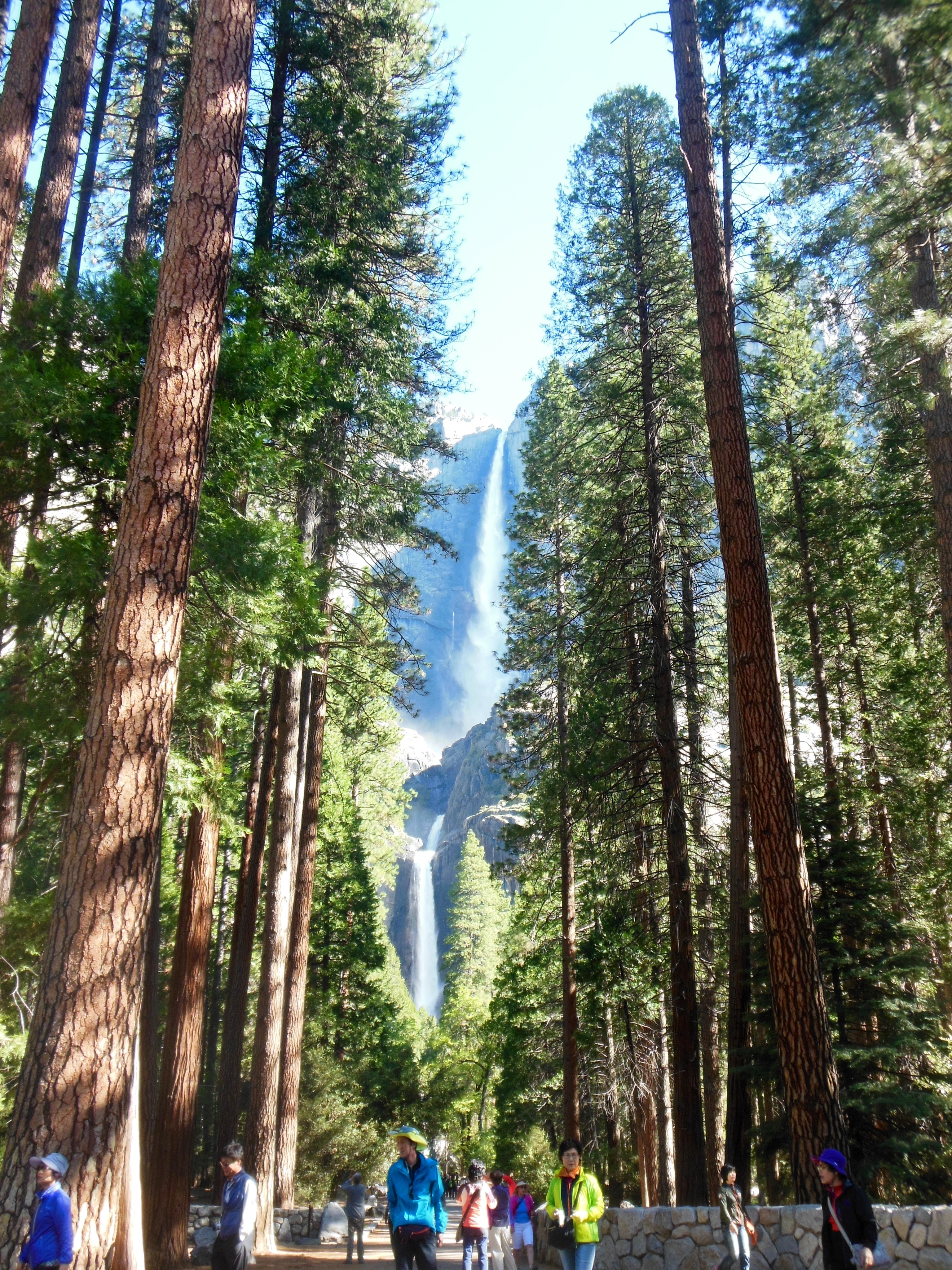
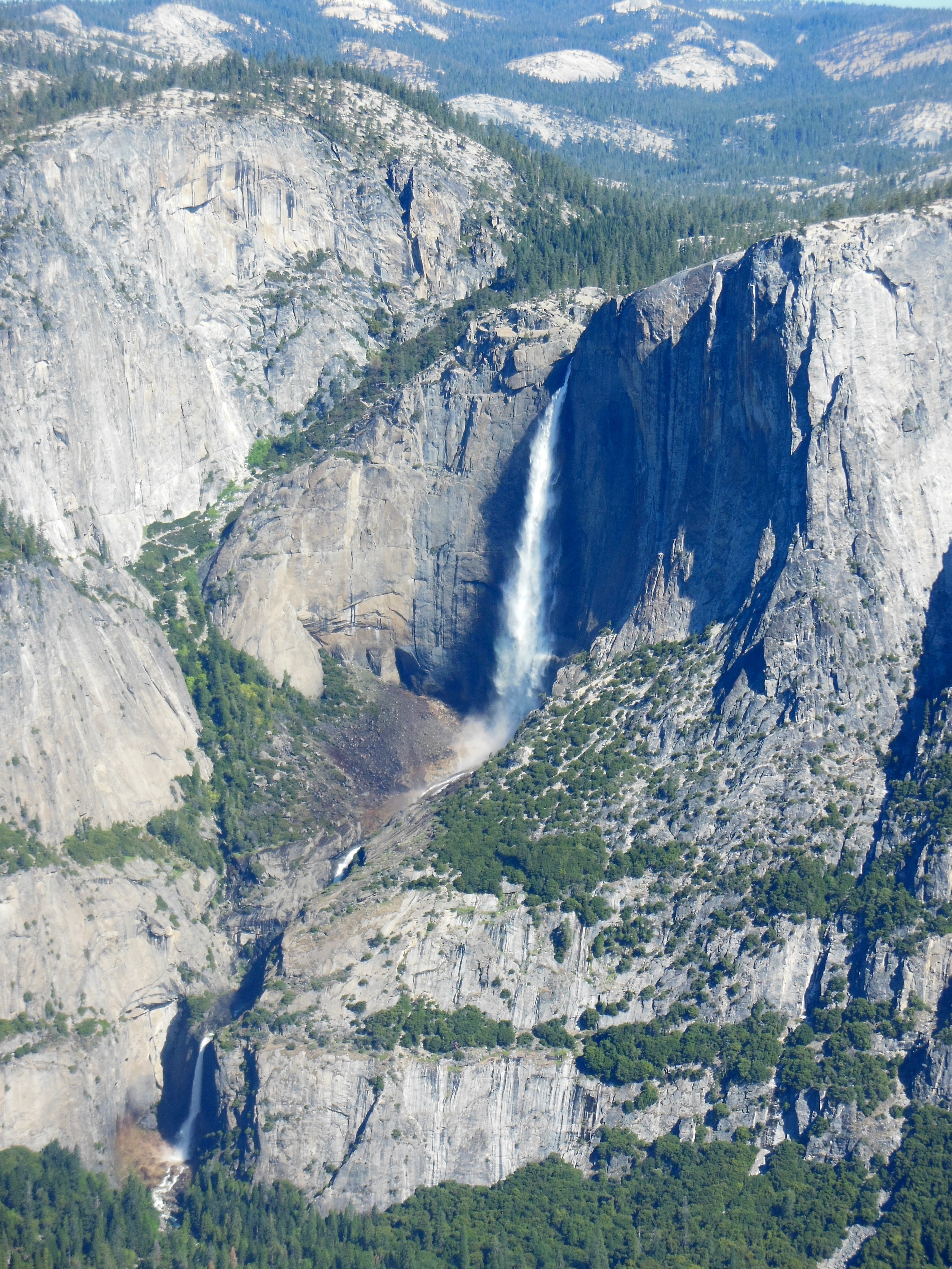
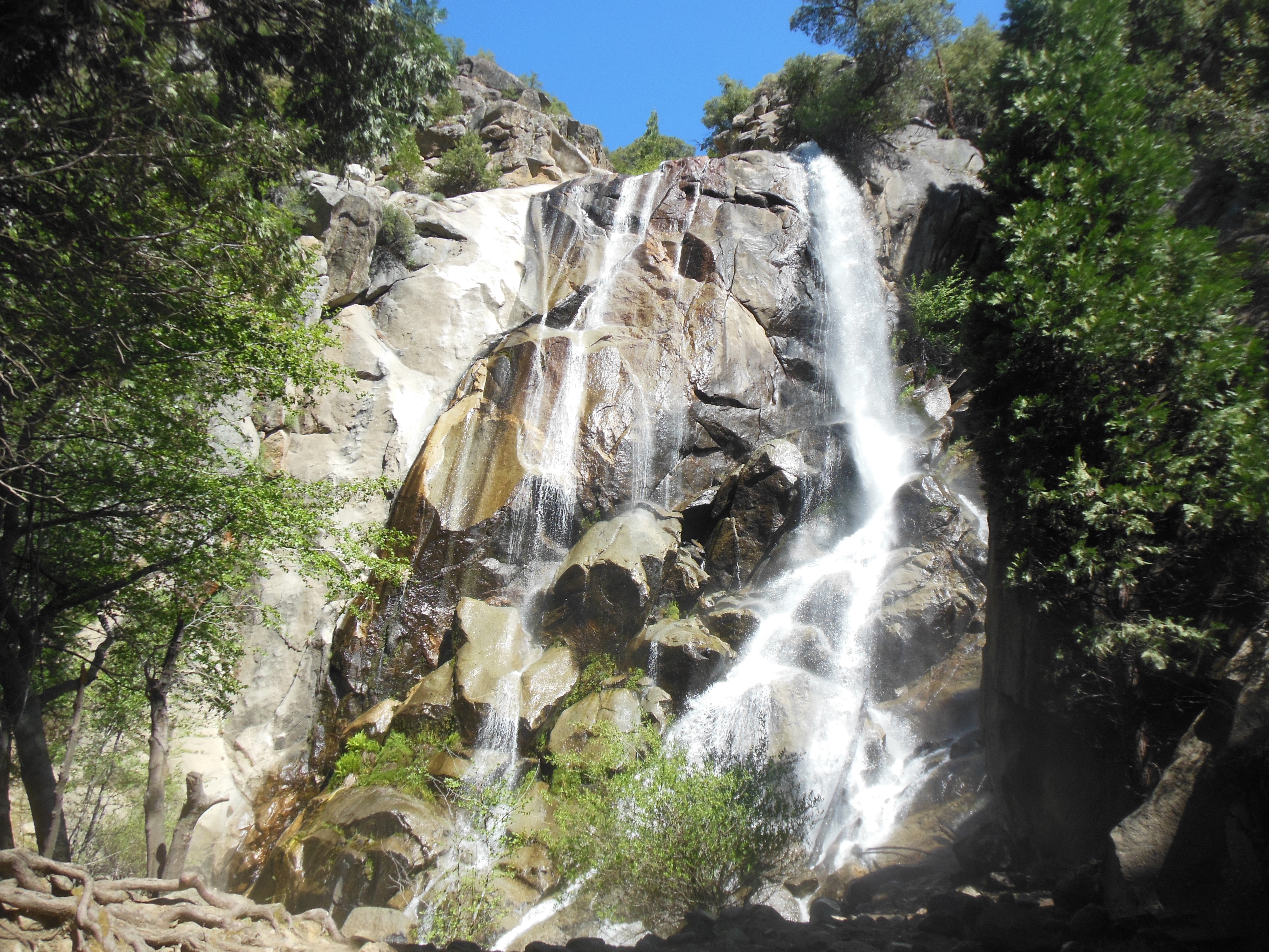
Yosemite Falls
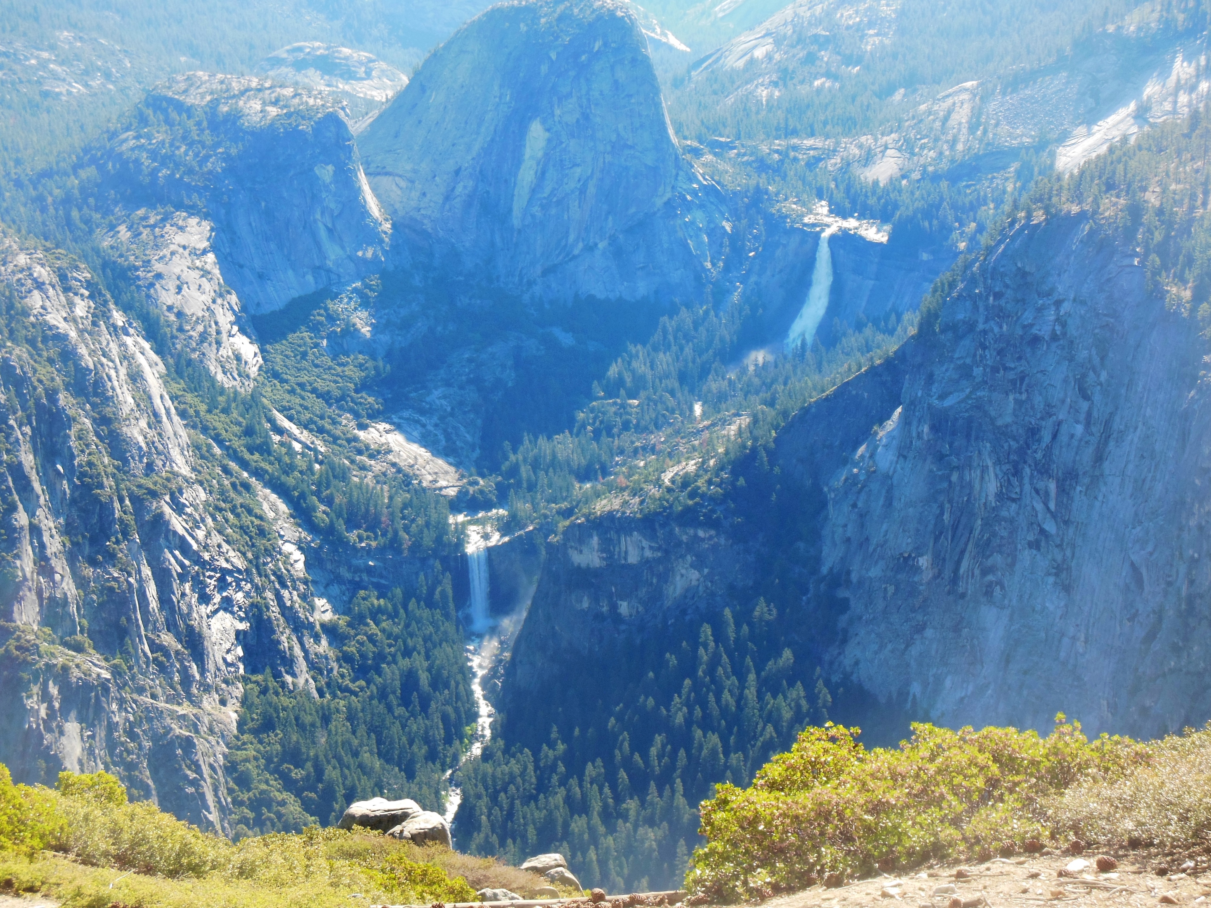
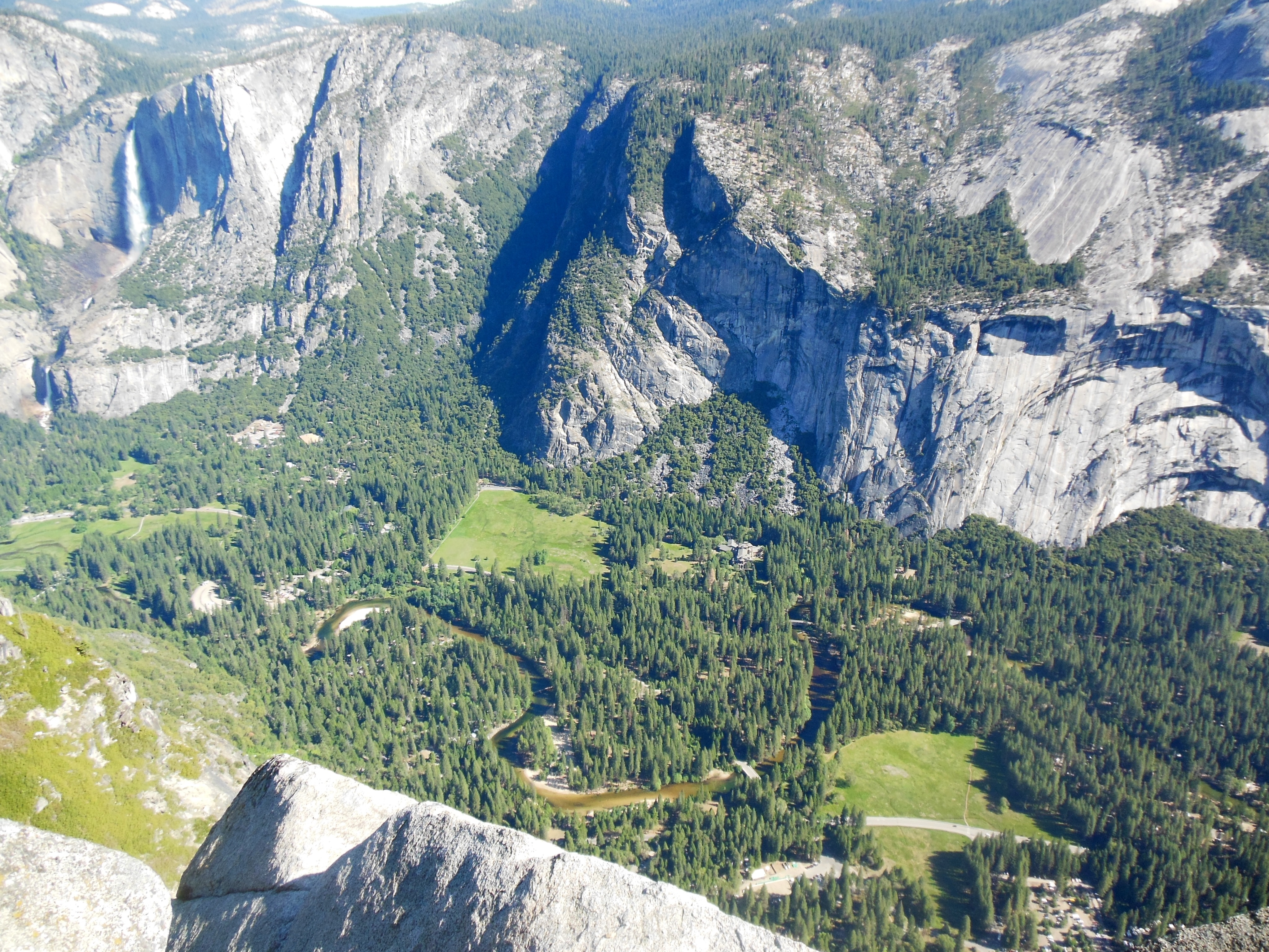
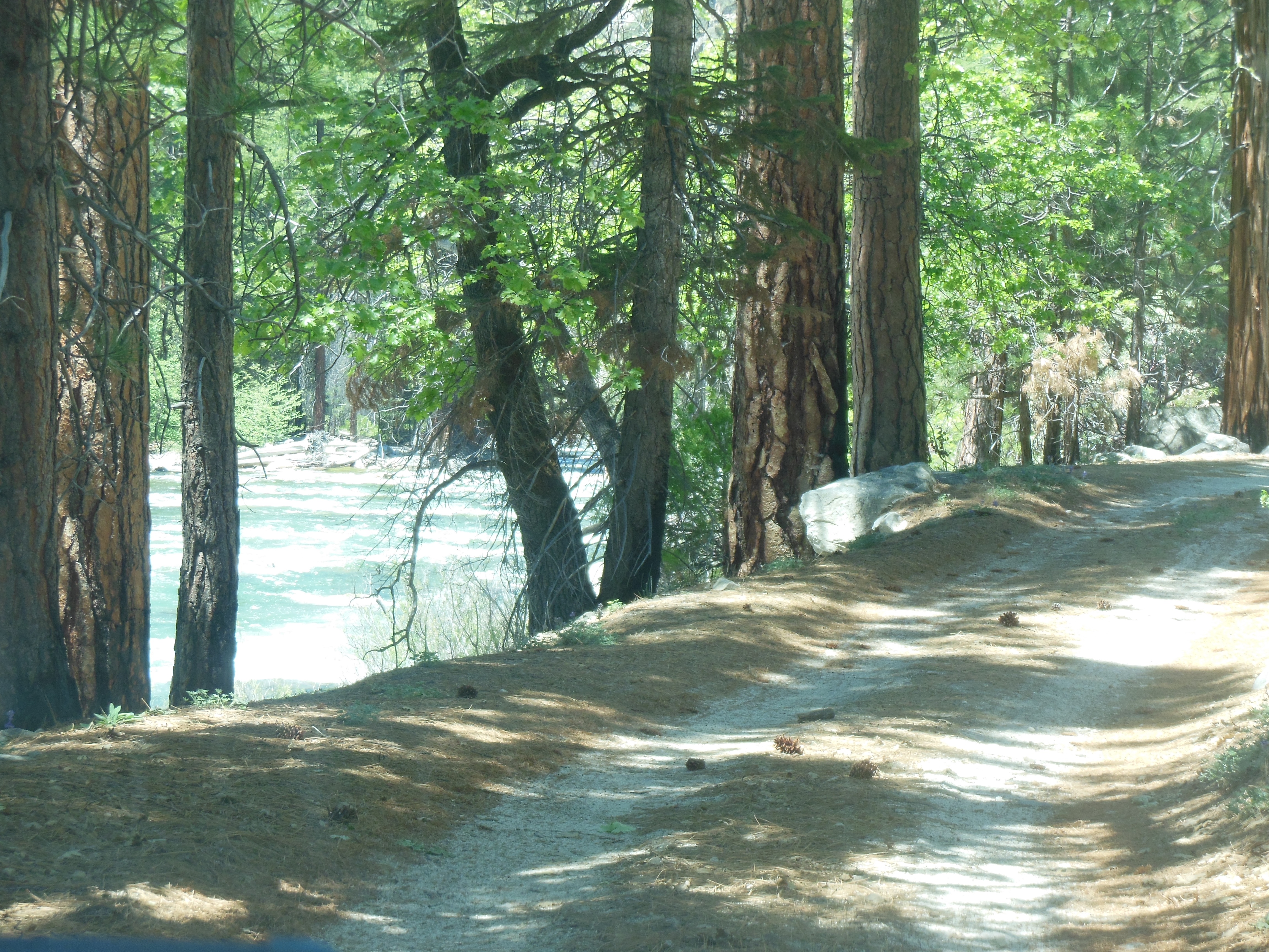
Our first hike was at a farther end of the valley so we took the shuttle. We were hiking to the Vernal Falls footbridge. Regular readers may remember the picture of Vernal Falls from Glacier Point posted for Saturday. The footbridge is a hike with a 400 foot elevation gain. It is paved and well traveled (thus smaller likelihood of bears.) Once again the view is great, the hike through forests and along cliffs.
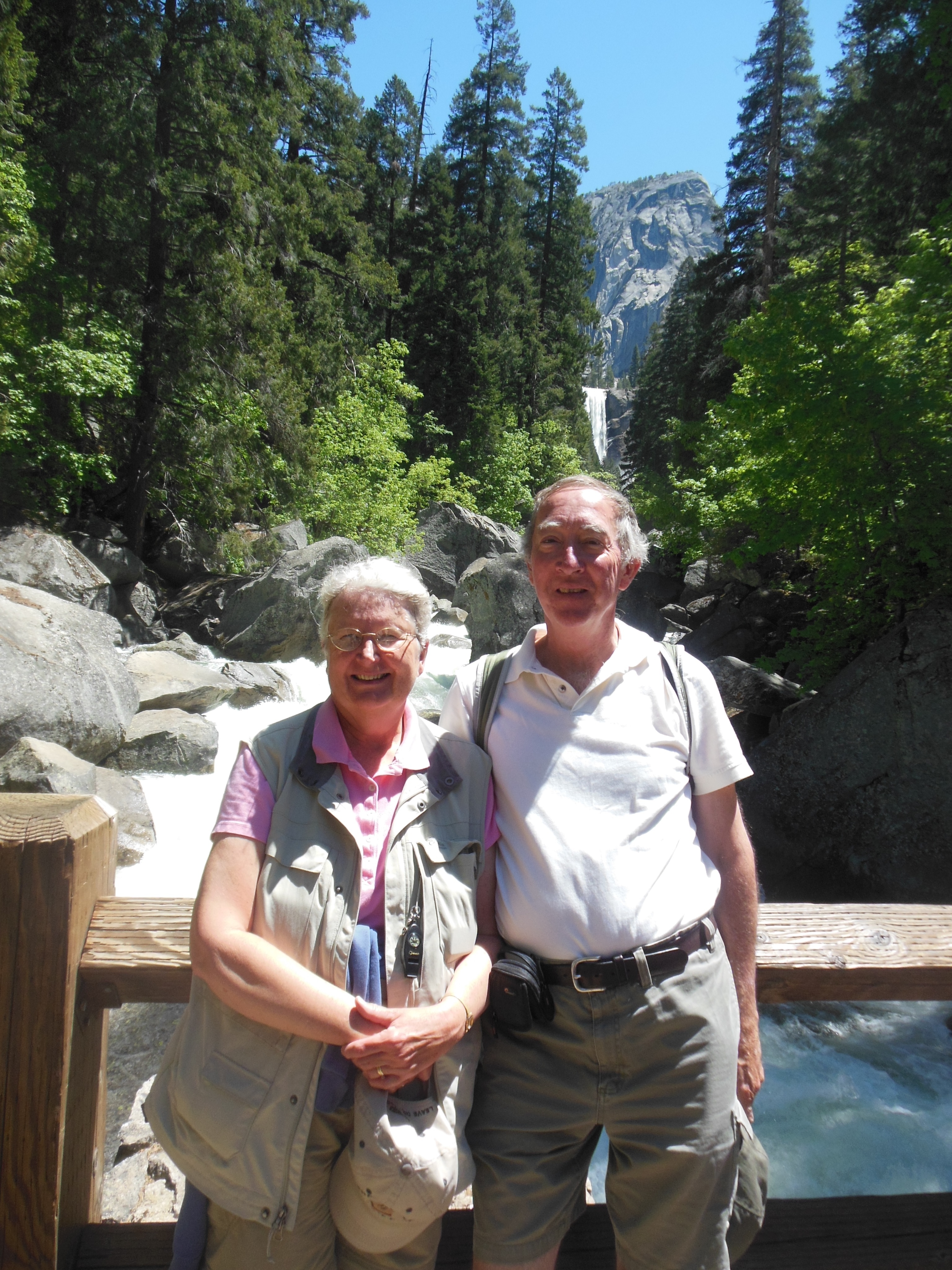
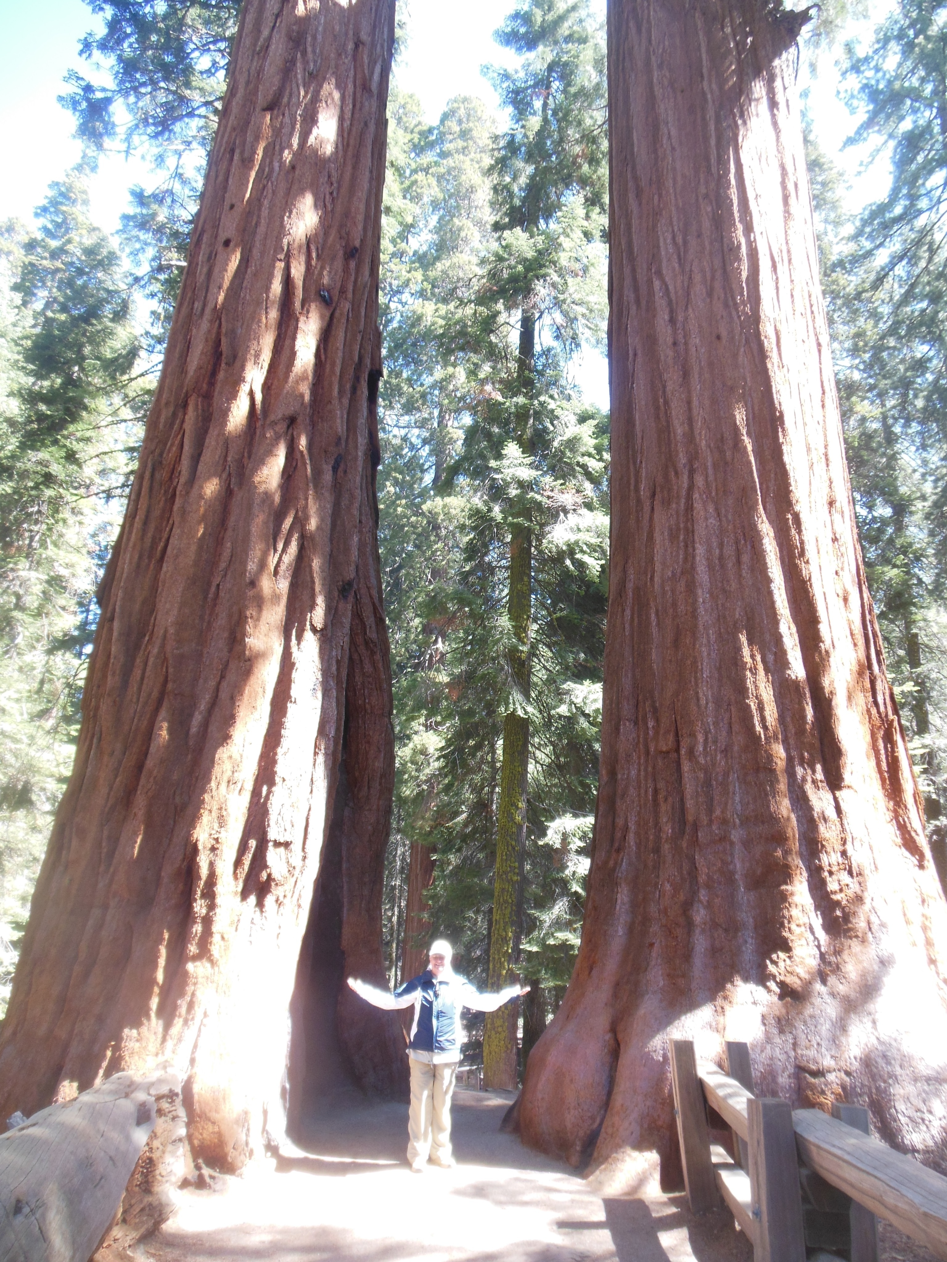
Ed and Chris by Vernal Falls
After we hiked back down, we walked to Curry Village, a lodging area heavy on camping and rustic cabins. We ate there since we planned to attend the afternoon ranger program on “Bears”. During the program and walk, we learned such tidbits as:
1. Black bears are brown in color.
2. Grizzlies no longer inhabit Yosemite, they were hunted out of the area about 150 years ago.
3. Black Bears still have a “flight syndrome” remaining from the time when both black bears and grizzlies inhabited this area.
4. Grizzlies can weigh up to 1000 pounds, black bears about 300. Black bears learned to flee from grizzlies.
5. The Valley has about 30-35 bears inhabiting it, normally it should have less than 5.
6. Consumption of human food results in more bears, shorter bear life spans, and a major effort to educate people not to feed any wild life.
7. Bears have a better sense of smell than bloodhounds and are very silent due to hair between the pads of their paws.
On the shuttle ride back, we stopped at the Ahwahnee Lodge, the super expensive lodging that is a Historic Landmark. This lodge was built to attract wealthy tourists to Yosemite as part of the plan to build support for its maintenance. Curry Village, in contrast, was build to provide accommodations for the average person.
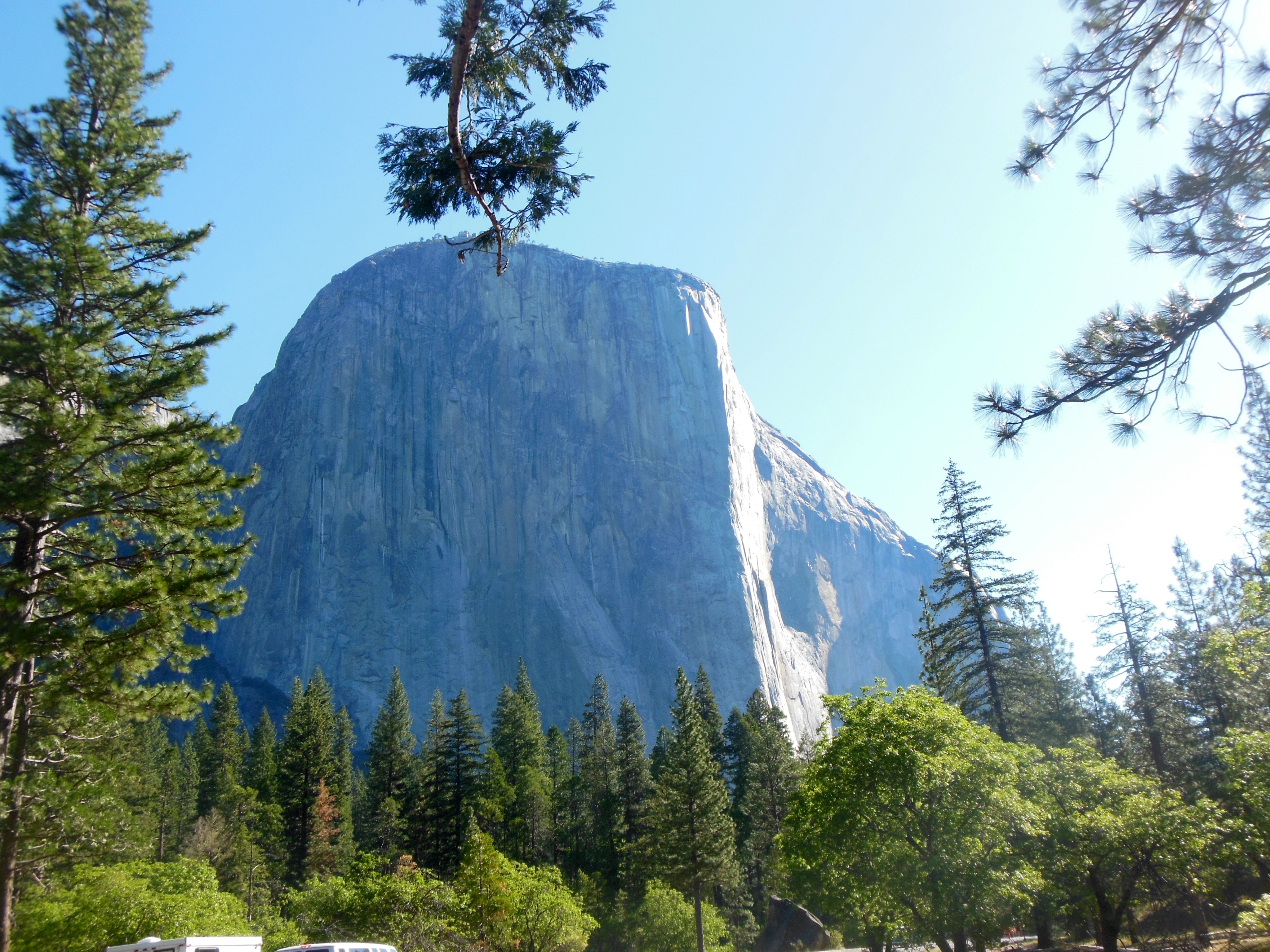
We went to Sentinel Bridge to take some more photos of Half Dome, hoping to emulate the shots Ansel Adams made famous of Half Dome in afternoon light.
We walked back to our lodging once again admiring the locale and rejoicing in the fact that we were able to come at a time of year when the crowds are not onerous and the falls are flowing. (Did I mention previously that Yosemite Falls usually is dry by mid August?)
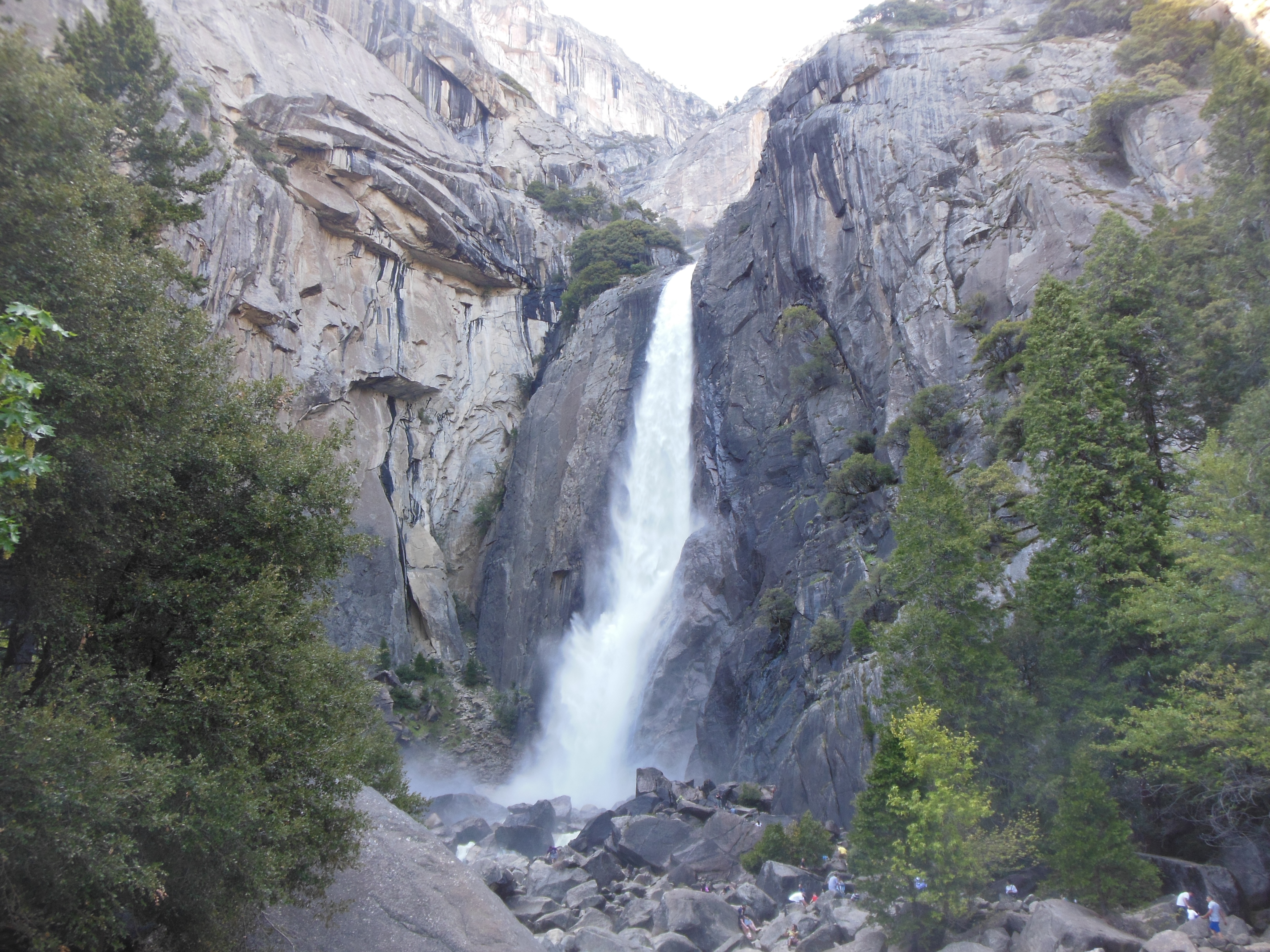
Lower falls of Yosemite

Upper falls
Ed and Chris May 20th


Recent Comments